bobspirko.ca | Home | Canada Trips | US Trips | Hiking | Snowshoeing | MAP | About
Mount Kent Knob
Kananaskis, Alberta
August 26, 2021
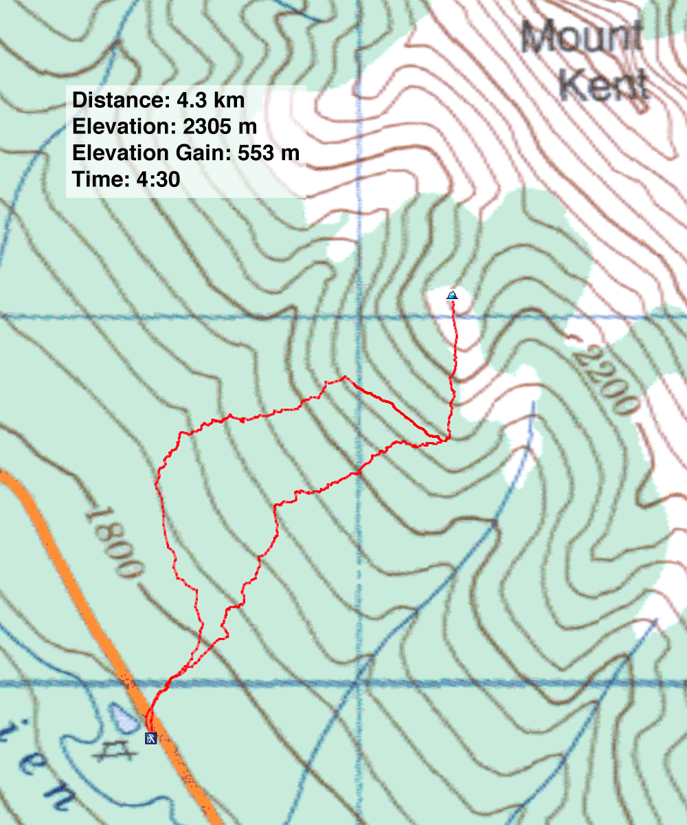
Distance: 4.3 km (2.7 mi)
Cumulative Elevation Gain: 600 m (1969 ft)
When Christine suggested climbing a bump by Mount Kent, I first brushed it off. But after a closer look, I became curious. I wondered if the wooded slope was a viable approach not only for the knob but for Mount Kent. Dinah and I had used a miserable gully to reach Kent, and I was no fan of that route. However, ascending a forested slope could present its disadvantages.
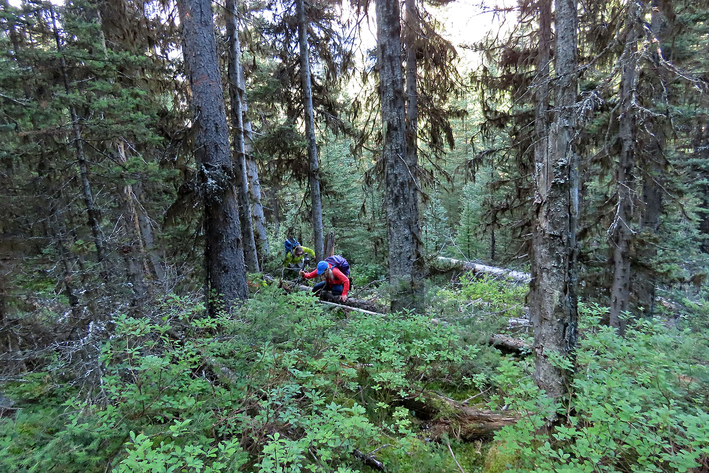
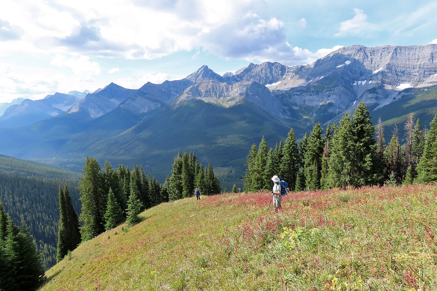
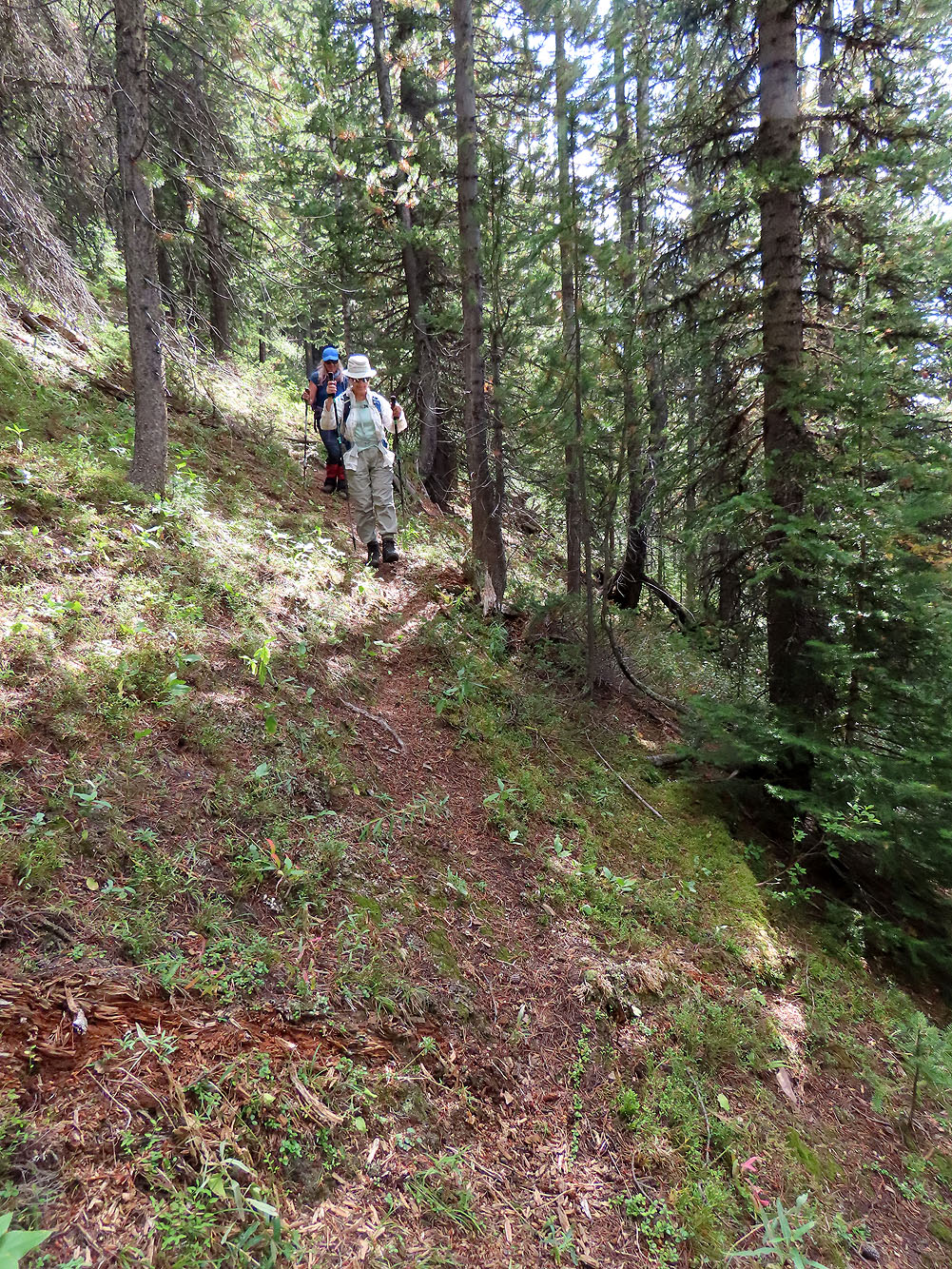
Christine, Zora and I parked at the Smith-Dorrien Day Use Area opposite of what I call Mount Kent Knob. We crossed the road, entered the forest and started up the slope. We were soon in the thick of it. We plowed through bushes and climbed over logs, but we had done worse bushwhacking. Higher up, the vegetation and deadfall eased, and we moved more freely. We took advantage of animal trails although none climbed aggressively and we soon abandoned them, except for the final trail. It led to a meadow and disappeared as it climbed the south ridge. We trudged to the meadowy top.
It was a perfect day to relax. The warm weather with few clouds and hardly a breath of wind was an invitation to sit down for lunch. Afterwards Zora laid back to take a nap while Christine and I got up to look around. Then Christine saw a tick on my hat. That broke our summit spell. We gathered our gear and fled, but not before finding two more ticks on our packs.
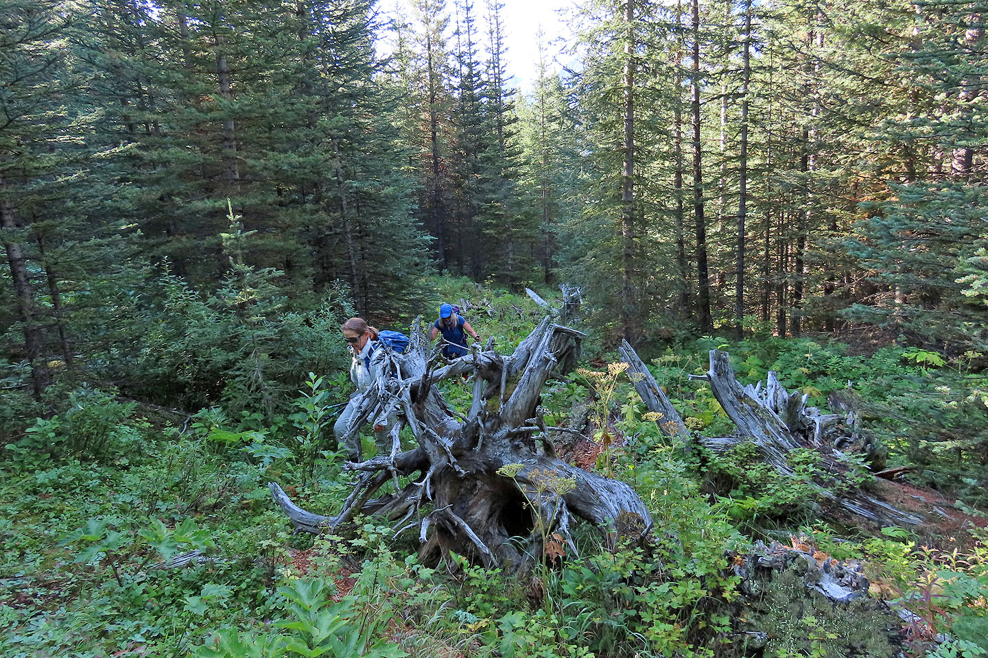
On our descent, we decided to see where the ridge trail went. It was a good trail, but when it turned into the trees it cut a shallow descent. Eventually we abandoned it and hoped we would find a better descent north of our ascent line. Instead the bushwhacking was much worse, a labyrinth of deadfall. We clambered over logs and pushed through tall bushes so dense that we couldn't see where we were planting our feet. But we're no strangers to bushwhacking and took it in stride; we made it back to the parking area. Unfortunately, such a pleasant hilltop is beset with a miserable bottom.
KML and GPX Tracks (ascent)
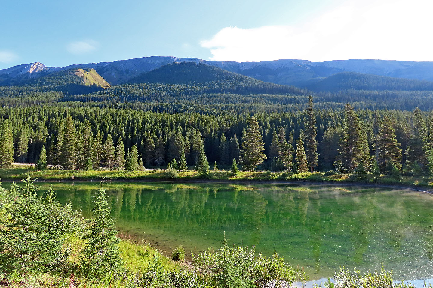
View of the knob (green hill in the centre) from the pond next to the parking area
Hiking up the lower slope
On a logging road
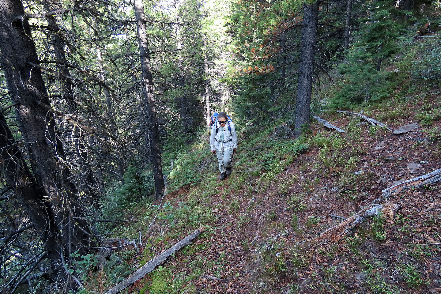
The upper slope was more open and offered animal trails
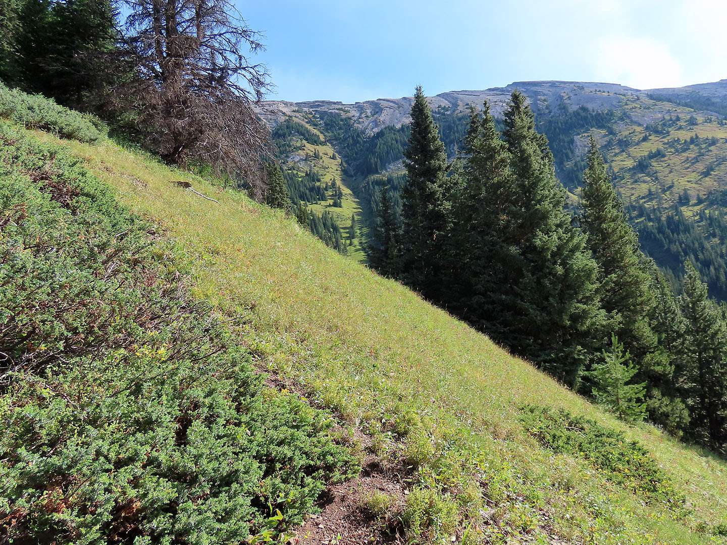
A trail leads to the semi-open south ridge
The trail continues up the ridge
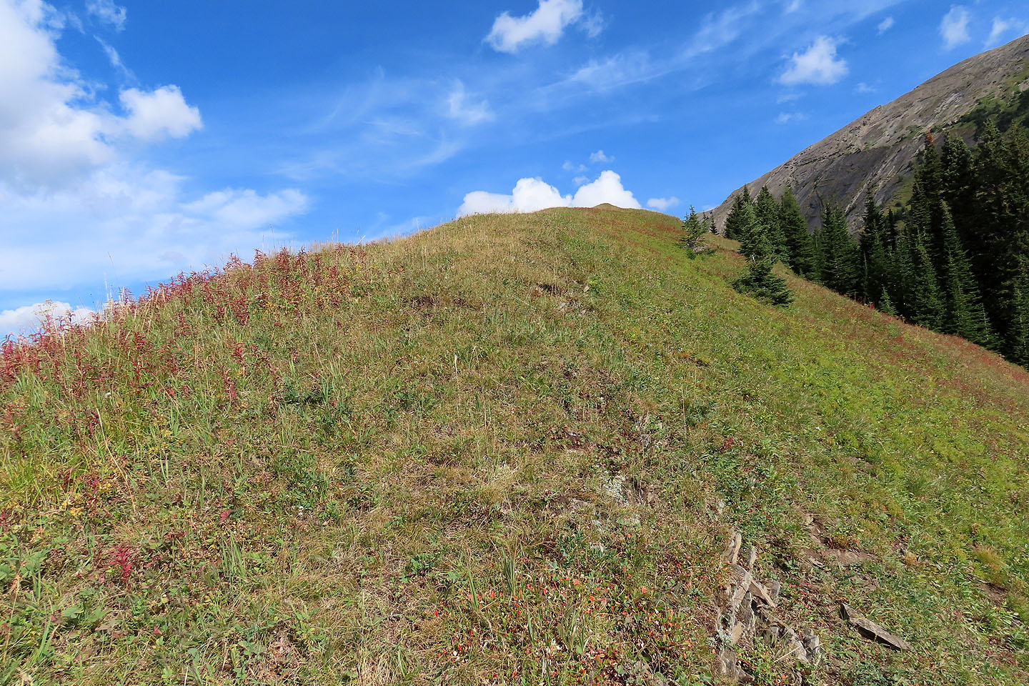
The final stretch to the top
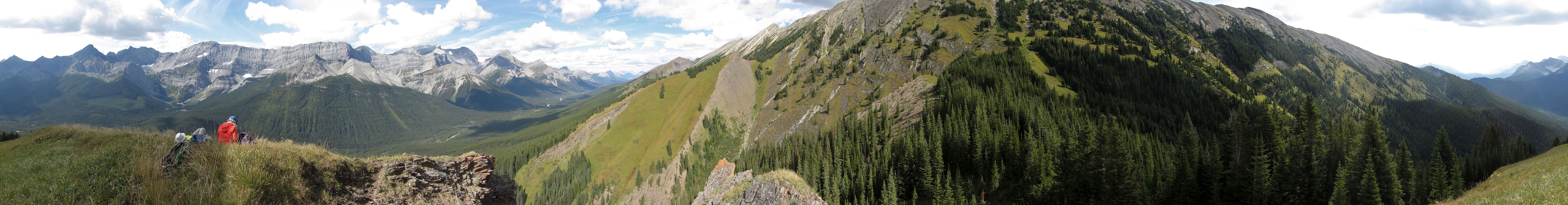
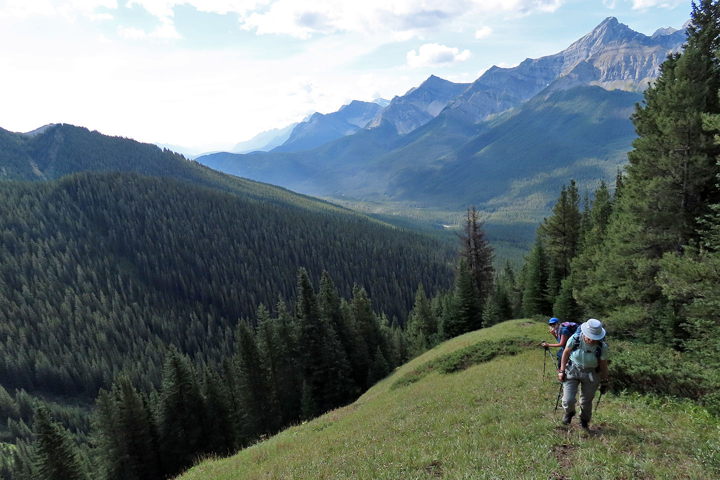
 Behind us in the centre are Mount Warspite and Warspite North Ridge (mouse over for a close-up)
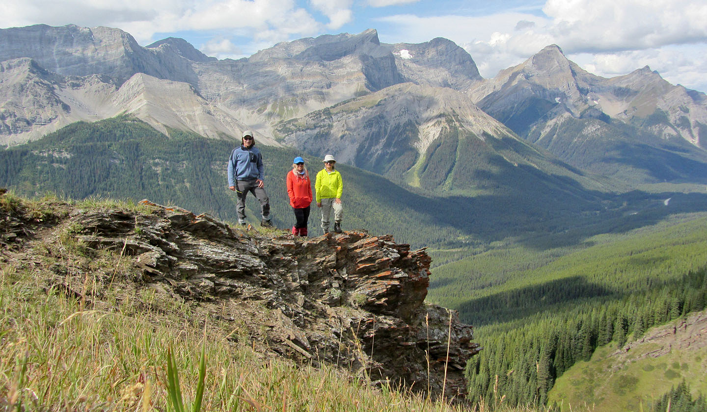
Posing on the knob
Mount Kent is over 300 m higher
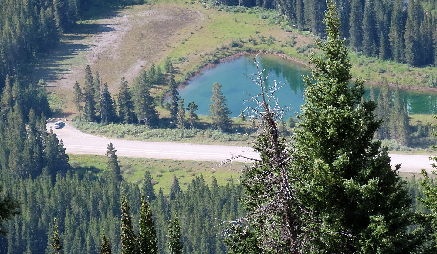
Looking down at the parking lot and the pond
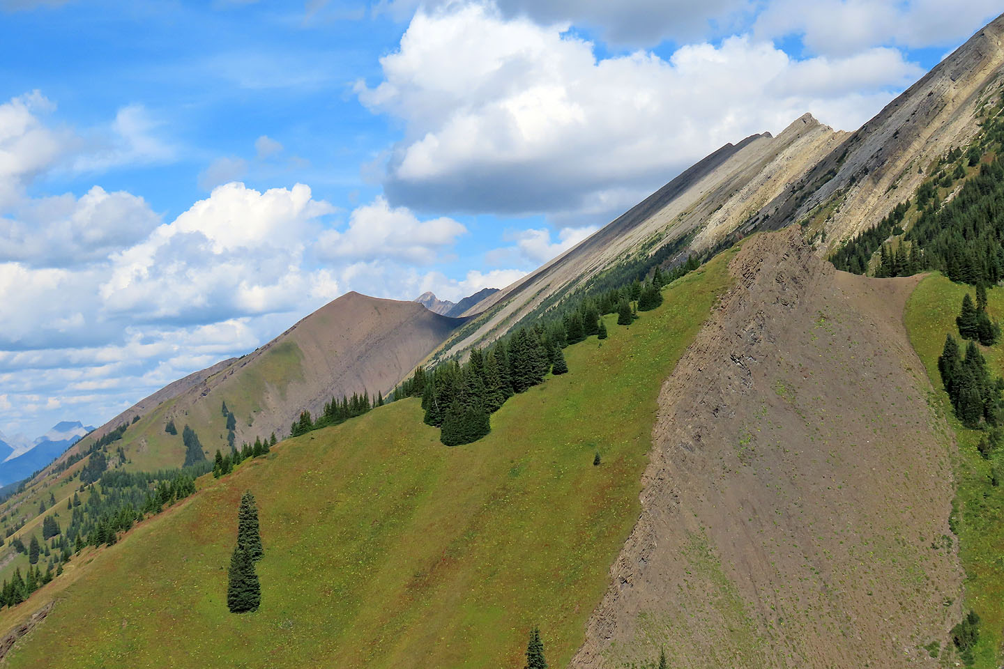
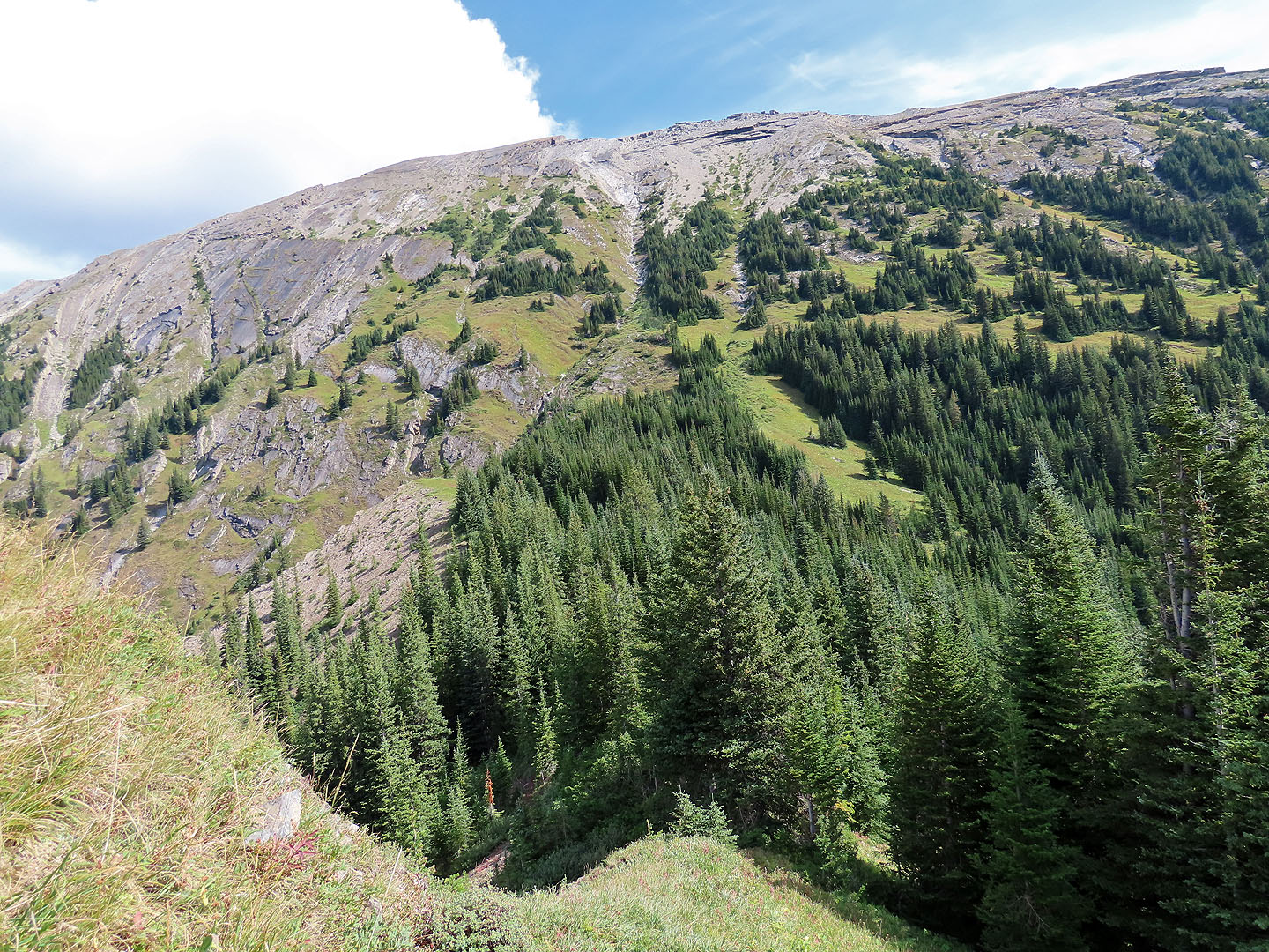
Looking north at the outlier that leads to Kent North
Coming down one of the animal trails on the upper slope
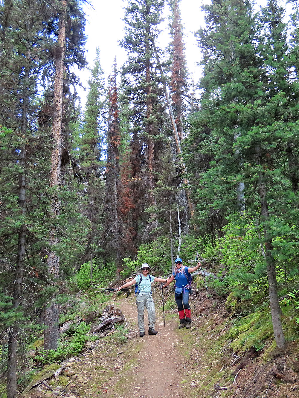
After some serious bushwhacking, Zora and Christine are elated to reach
High Rockies Trail that parallels the highway
82 J/11 Kananaskis Lakes