bobspirko.ca | Home | Canada Trips | US Trips | Hiking | Snowshoeing | MAP | About
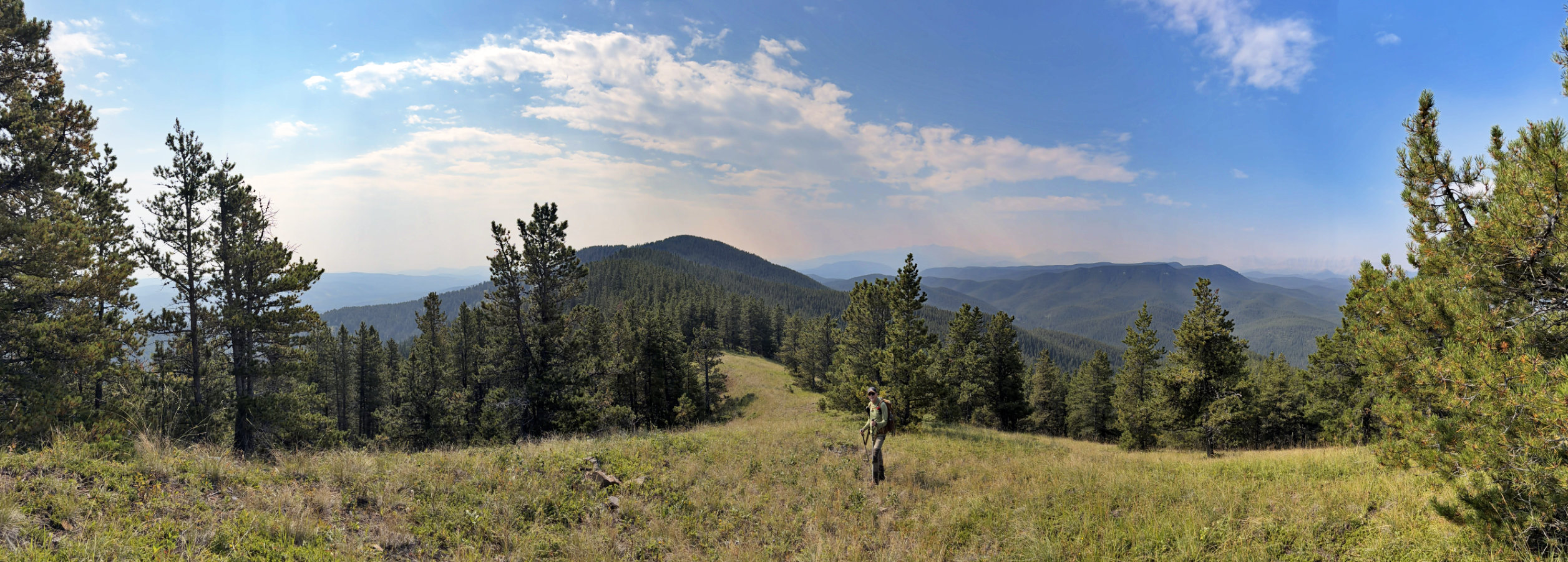
Gleason North Ridge
Kananaskis, Alberta
August 18, 2026
Distance: 11.2 km (7.0 mi)
Cumulative Elevation Gain: 550 m (1804 ft)
When I climbed Gleason Ridge from Windy Point Ridge in 2016 by the usual south ridge route, I called it a “long, gloomy treed stretch” without views. I wondered if the north ridge was any better.
I checked it out. After going partway up, I realised the north ridge held potential. The route is shorter, with a third of the distance covered by a pleasant walk up Gorge Creek road. I left the road and climbed a slope through thin trees and big meadows. Bushwhacking wasn’t an issue, but it was steep, and it’s possible to go off-track on the broad lower slope. However, it appeared easy to continue to the ridge. Satellite imagery shows numerous clearings; the north ridge would not be a viewless hike like the south ridge.
Brian, who is always up for an adventure, agreed to join me in hiking the north ridge to the top of Gleason Ridge. From the Ware Creek parking lot, we walked up Gorge Creek road 2 km to where Link Creek is only a dozen metres from the road. Using stepping stones, we crossed the creek. After pushing through a few bushes, we came to an animal trail that parallels the creek. We followed it briefly before leaving it to start up the wooded slope. We trudged up, keeping a bit left where trees were thinner and headed to the fire pit at the edge of the first meadow. We climbed the first meadow, and after going through a short corridor, continued to the second meadow. After the meadows, we continued hiking to the ridge in trees.
Once on the ridge, we enjoyed a pleasant hike, often on animal trails. Indeed, we looked for trails to get around thickets and deadfall. There were a few bumps to go over. The first bump, which I think of as the north summit, is the second highest point on Gleason Ridge. There were no views on the north summit, but the other two bumps held meadows with views ahead and on our right (see panorama at the top). And throughout, there were breaks in the trees where we could view distant mountains veiled in wildfire smoke. After reaching the summit, we relaxed for a while before retracing our steps back. Doubtless this is the best way to hike Gleason Ridge, and I may return on a clear day and do it again.
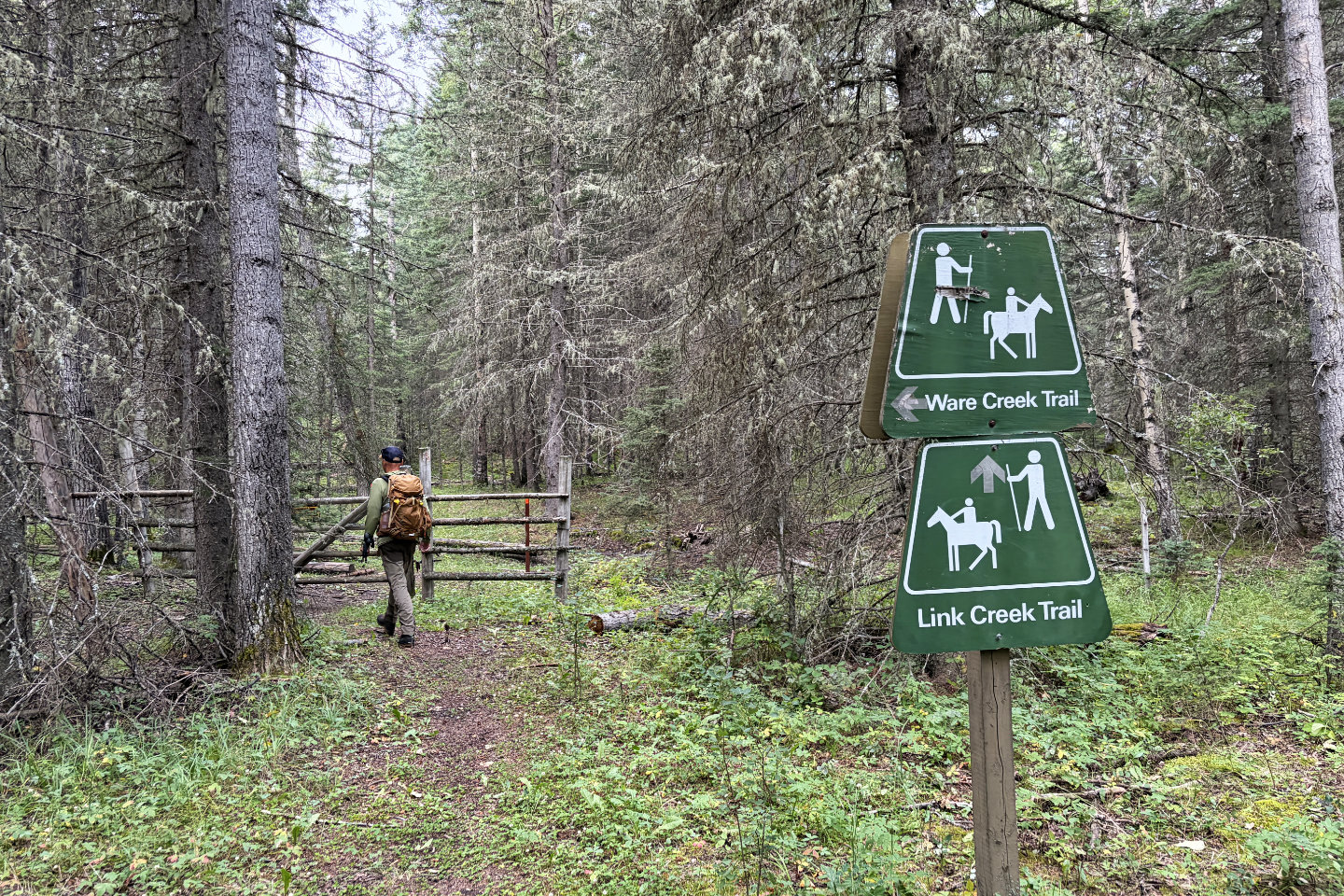 Starting on the trail
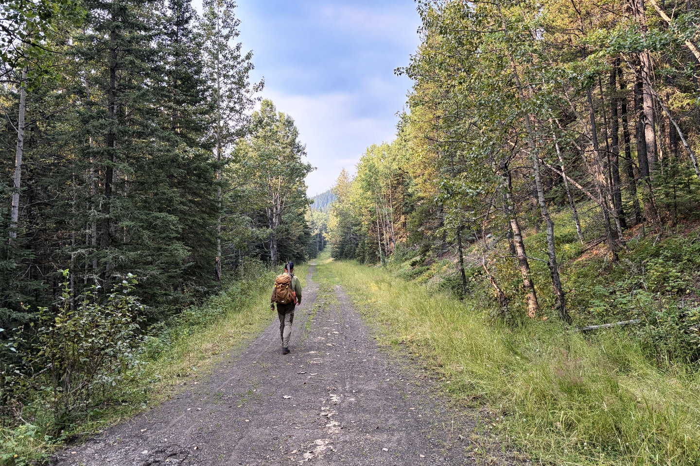 Walking down Gorge Creek road
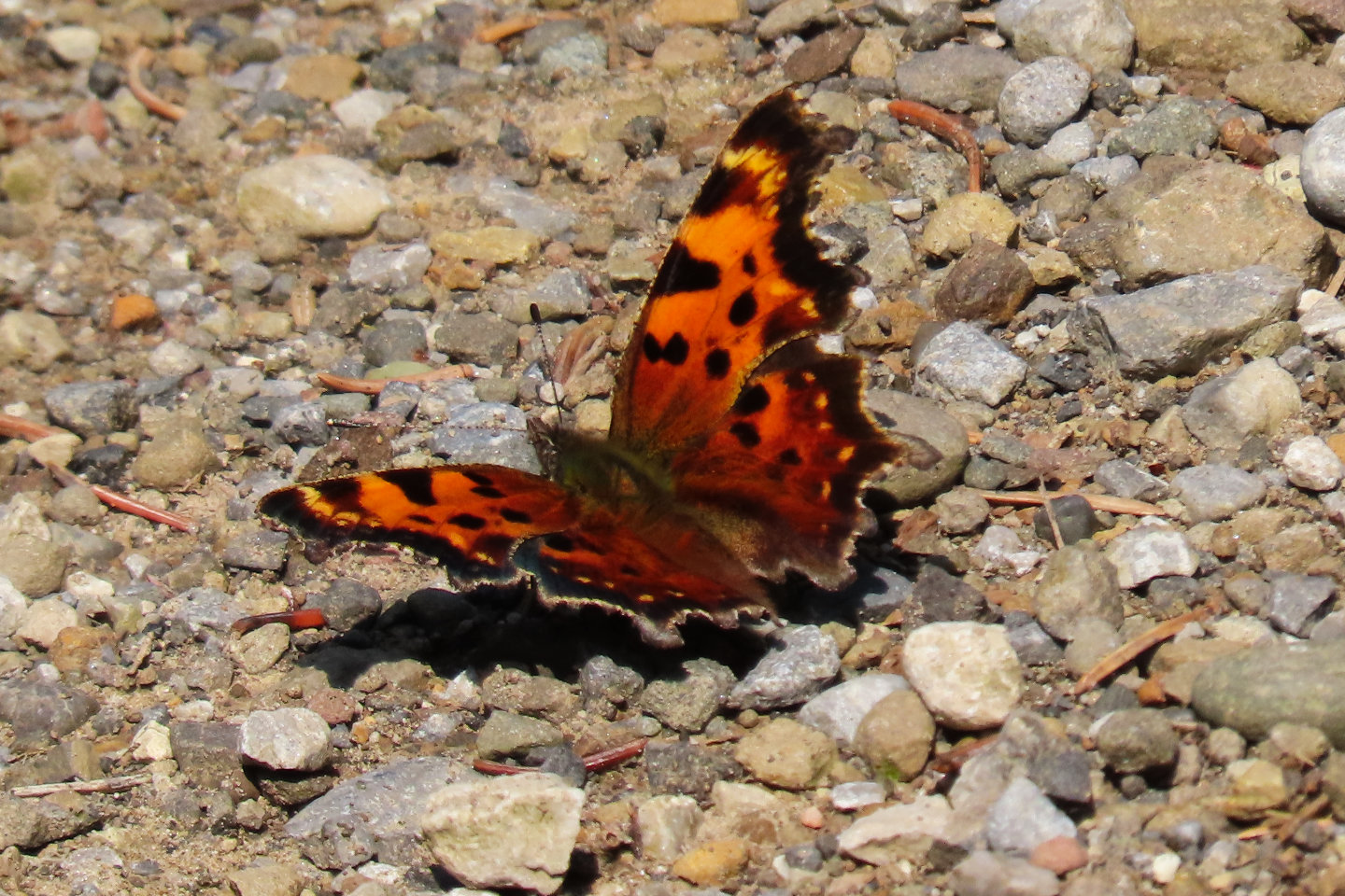 A comma butterfly on the road
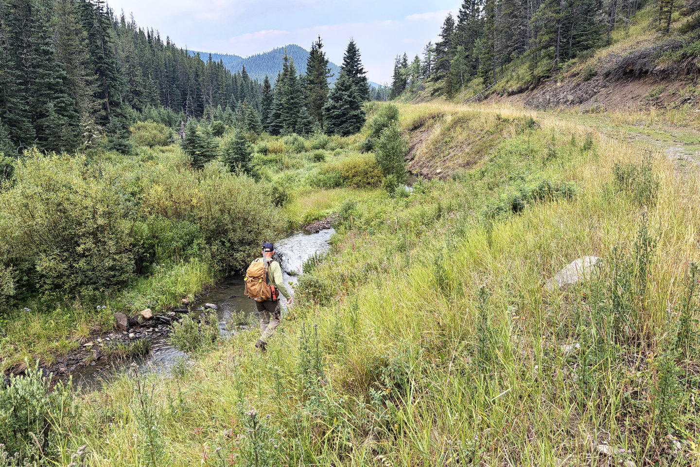 Brian looks for a place to cross Link Creek
 We briefly followed a path on the other side
of the creek
We briefly followed a path on the other side
of the creek
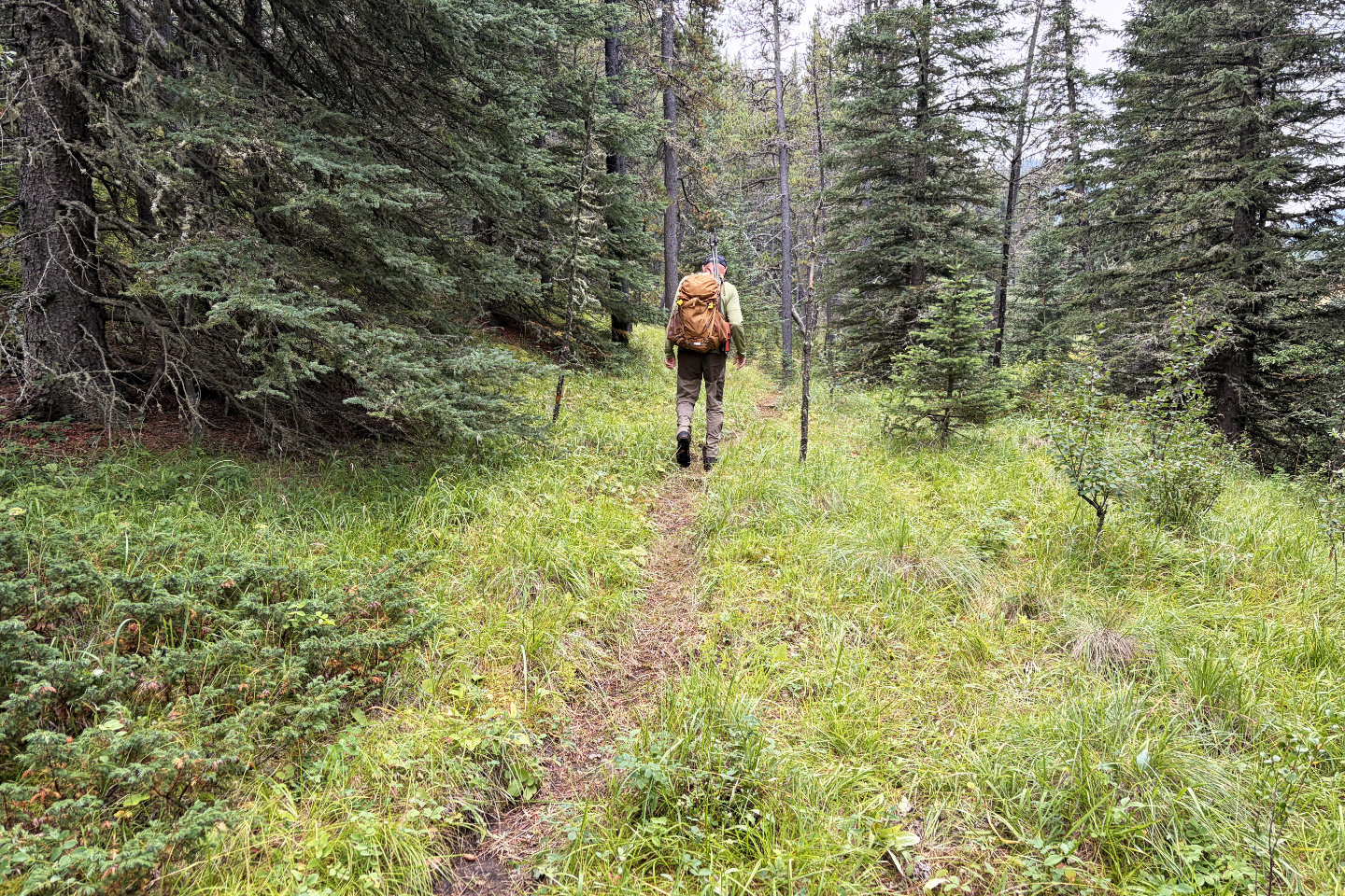
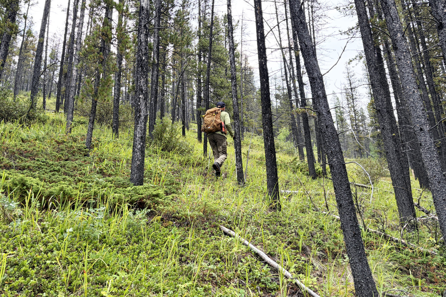 Heading up the slope
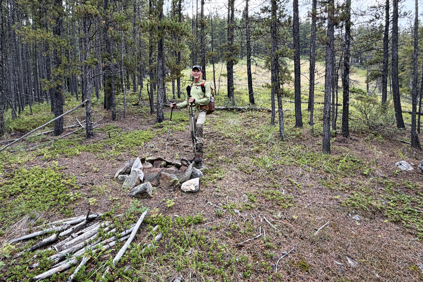 Near the edge of the first meadow, there's an
old firepit
Near the edge of the first meadow, there's an
old firepit
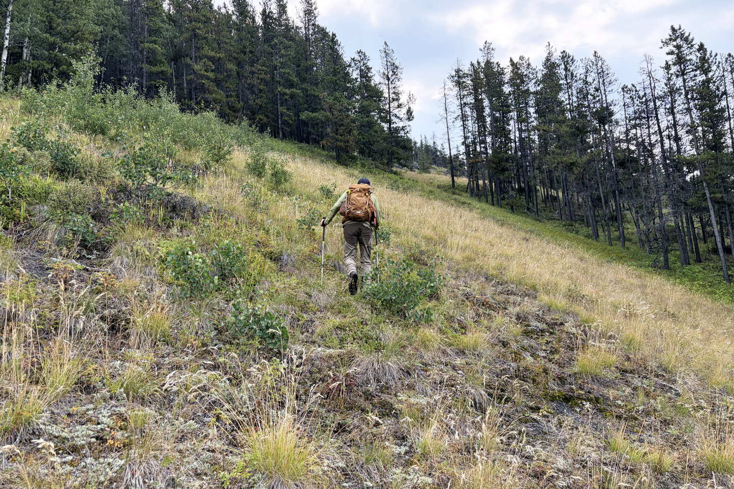 Going up the first meadow. Beyond the gap in
the trees is a larger meadow.
Going up the first meadow. Beyond the gap in
the trees is a larger meadow.
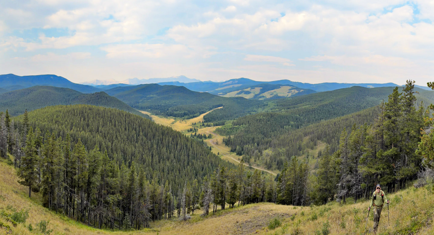 Looking back from the second meadow
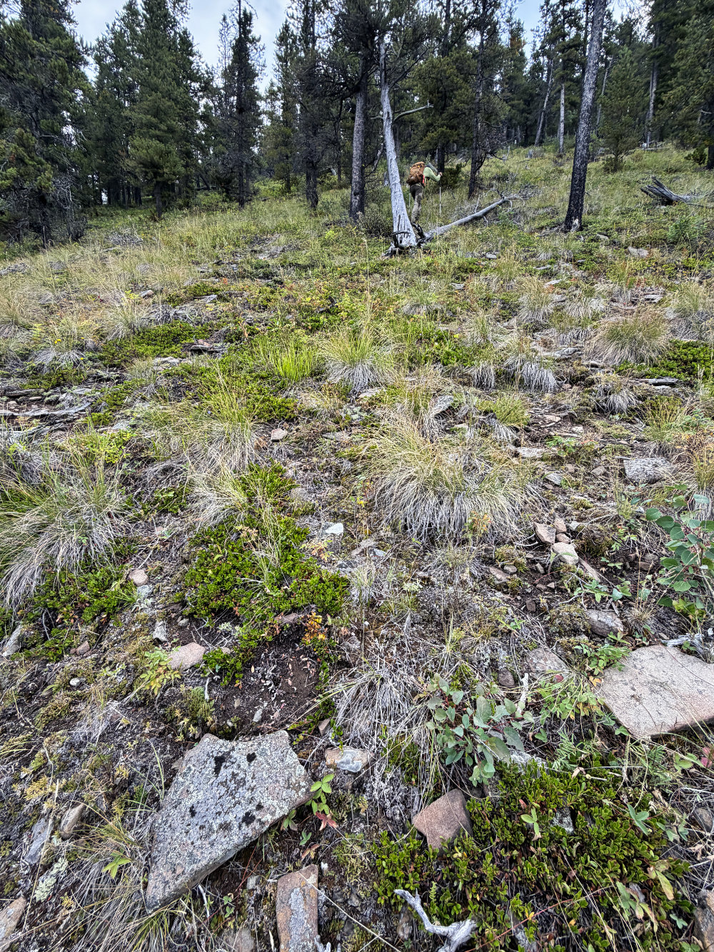
We entered the trees at the top of the meadow. Below is a rock
overturned by a bear. We saw a few of these rocks.
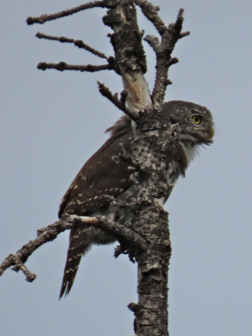
The northern pigmy owl is the size of a large sparrow. Mouse over to see it looking back at us.
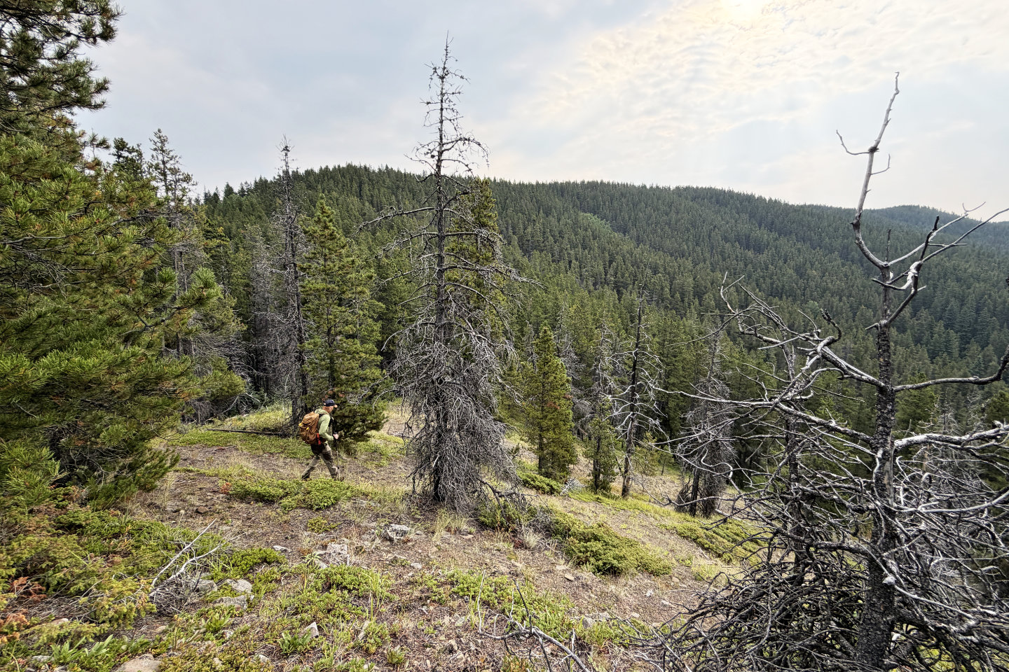 Partway up the slope, we went over a bump.
Far right is the summit of Gleason.
Partway up the slope, we went over a bump.
Far right is the summit of Gleason.
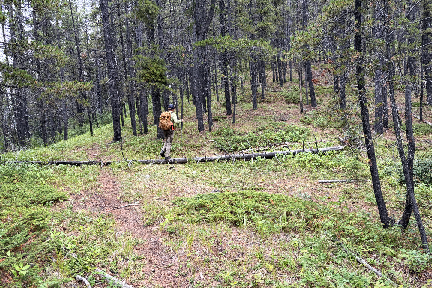 After a short drop to a saddle, we're back to
hiking up the ridge
After a short drop to a saddle, we're back to
hiking up the ridge
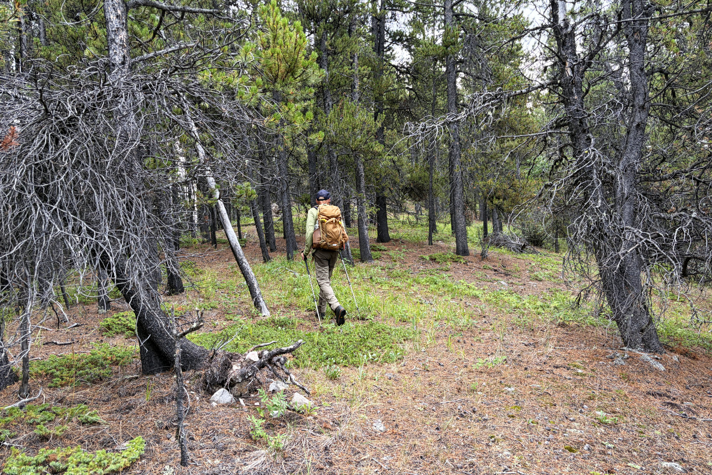 Walking along the ridge
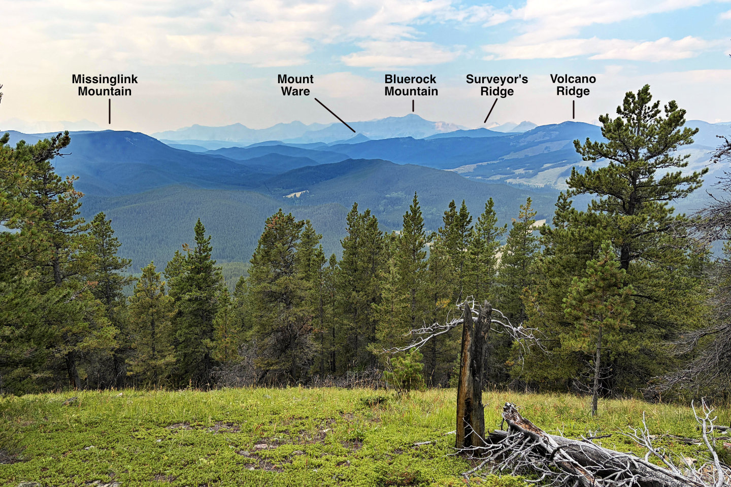 Looking west at familiar peaks
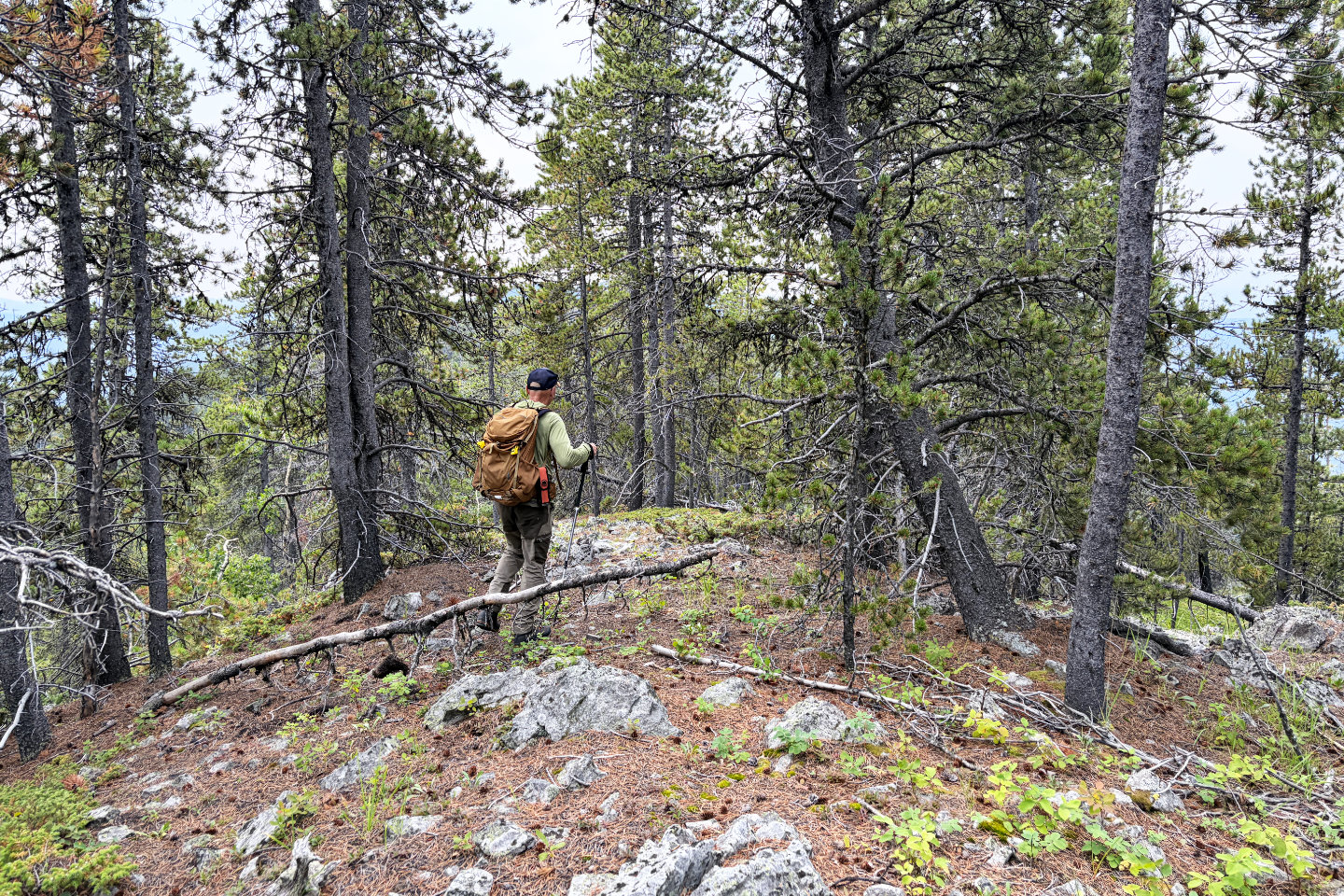 On the north summit, the second highest point
on Gleason Ridge
On the north summit, the second highest point
on Gleason Ridge
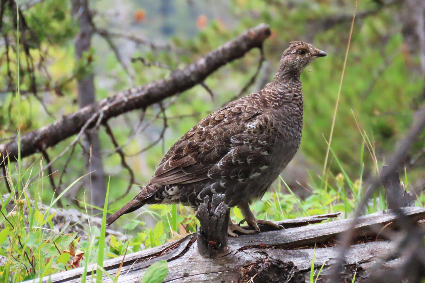 A spruce grouse on the summit appeared
unafraid and stuck around
A spruce grouse on the summit appeared
unafraid and stuck around
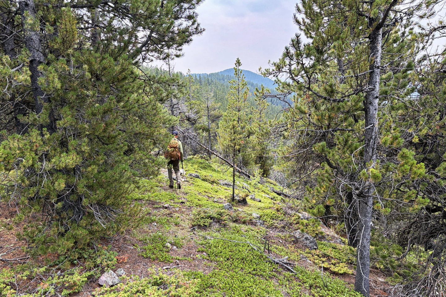 Continuing to the summit
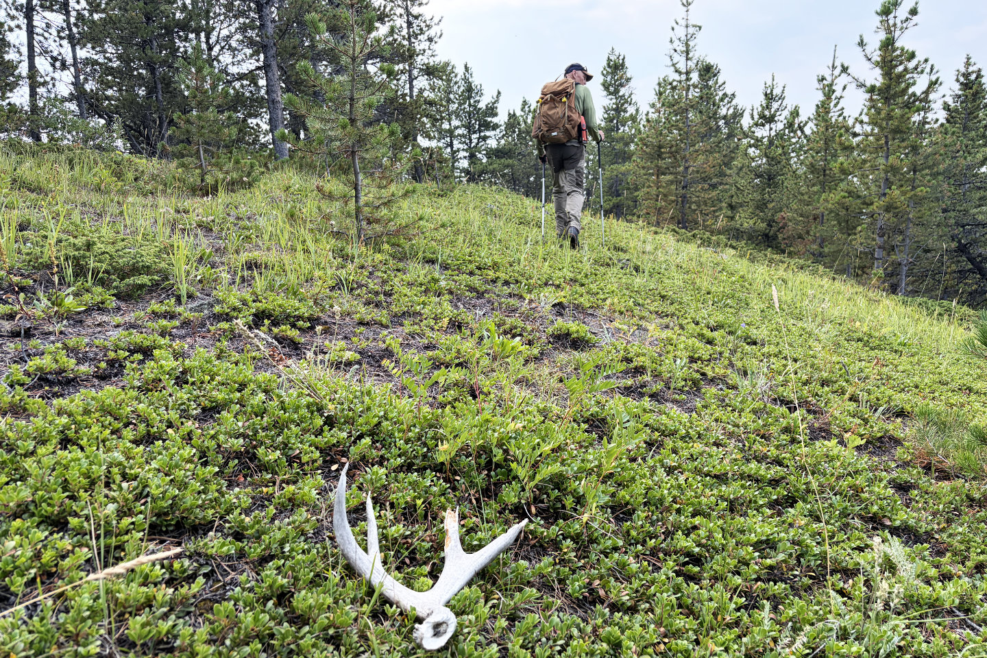 We passed an antler in a meadow
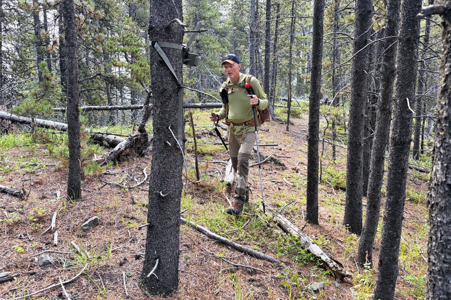 Something broke a trail cam. The battery pack was on the ground and two batteries were missing. After
searching, we found them. We put it back together and noticed a red light, so maybe it's working. Mouse over to
see Brian replacing the battery pack.
Something broke a trail cam. The battery pack was on the ground and two batteries were missing. After
searching, we found them. We put it back together and noticed a red light, so maybe it's working. Mouse over to
see Brian replacing the battery pack.
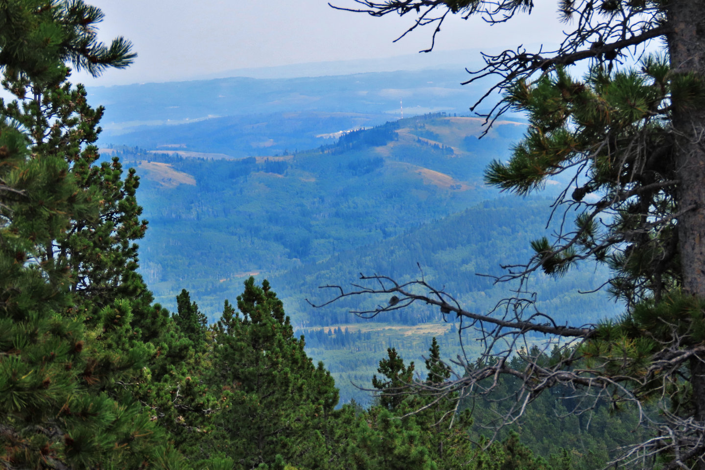 There were virtually no views east, although
I caught a glimpse of Sinnot Hill through the trees
There were virtually no views east, although
I caught a glimpse of Sinnot Hill through the trees
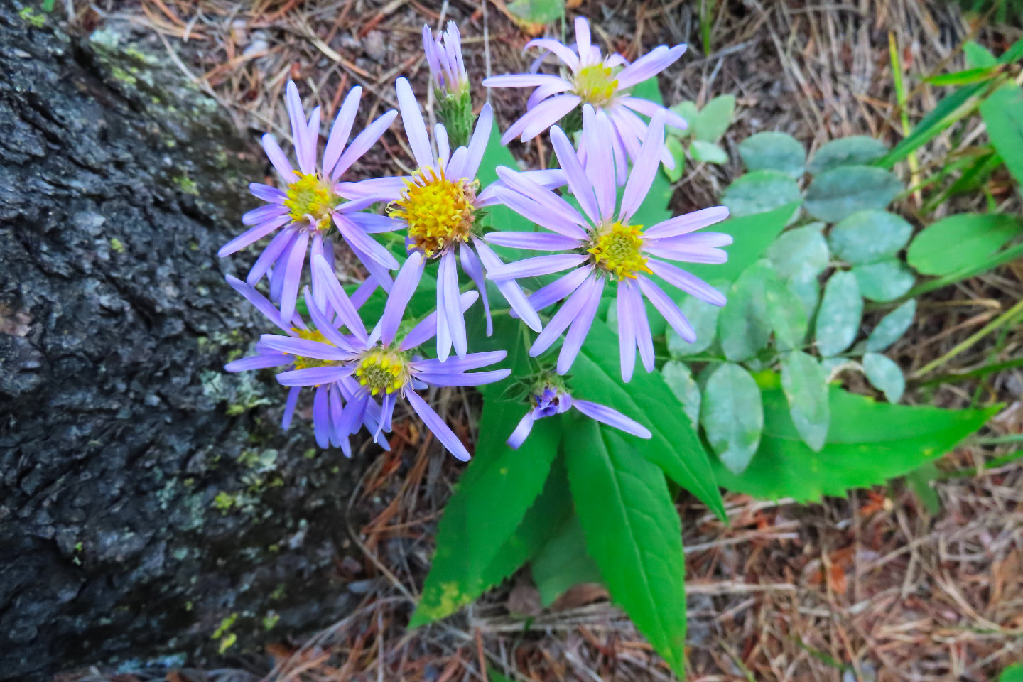 Aster wildflowers
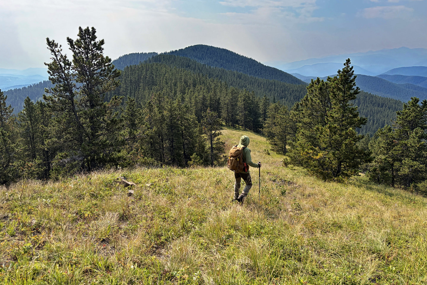 Going to the next bump and the summit
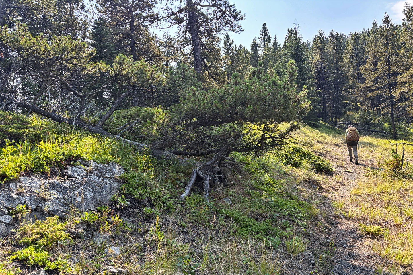 At the base of the summit, a tree appears to
be thriving despite having fallen down
At the base of the summit, a tree appears to
be thriving despite having fallen down
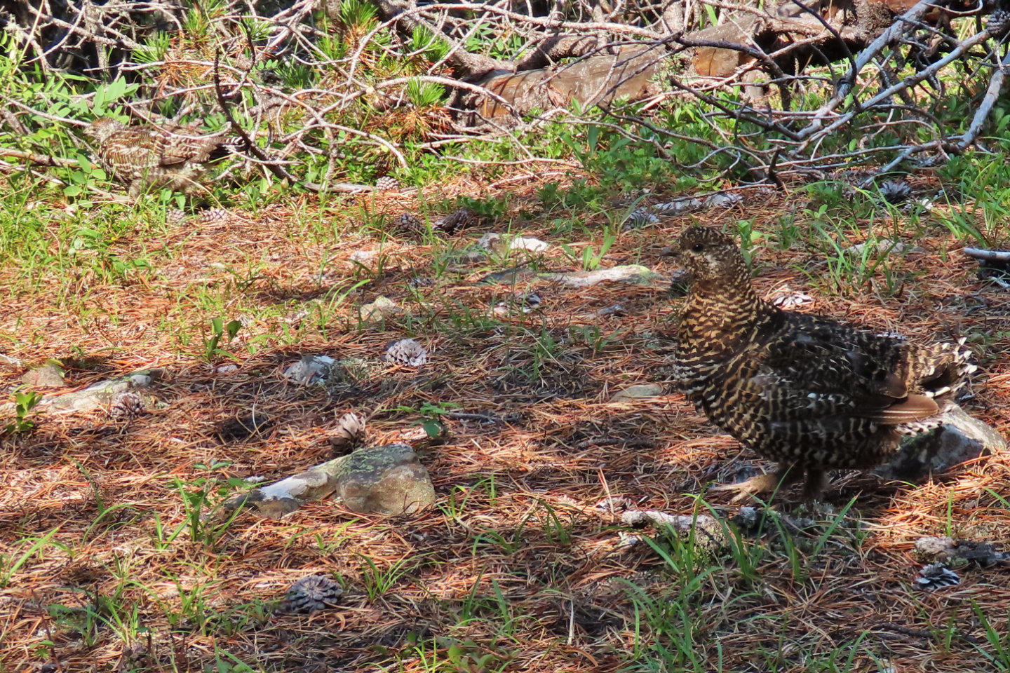 Two grouse reached the summit before us. The
second one (upper left) fled.
Two grouse reached the summit before us. The
second one (upper left) fled.
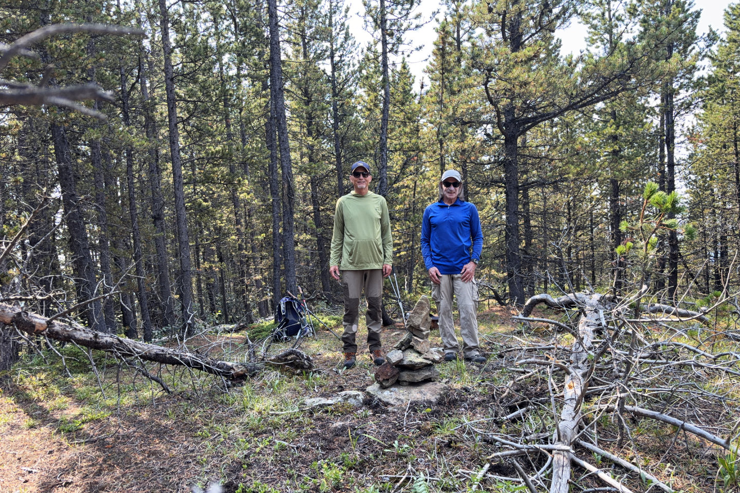 On the summit of Gleason Ridge
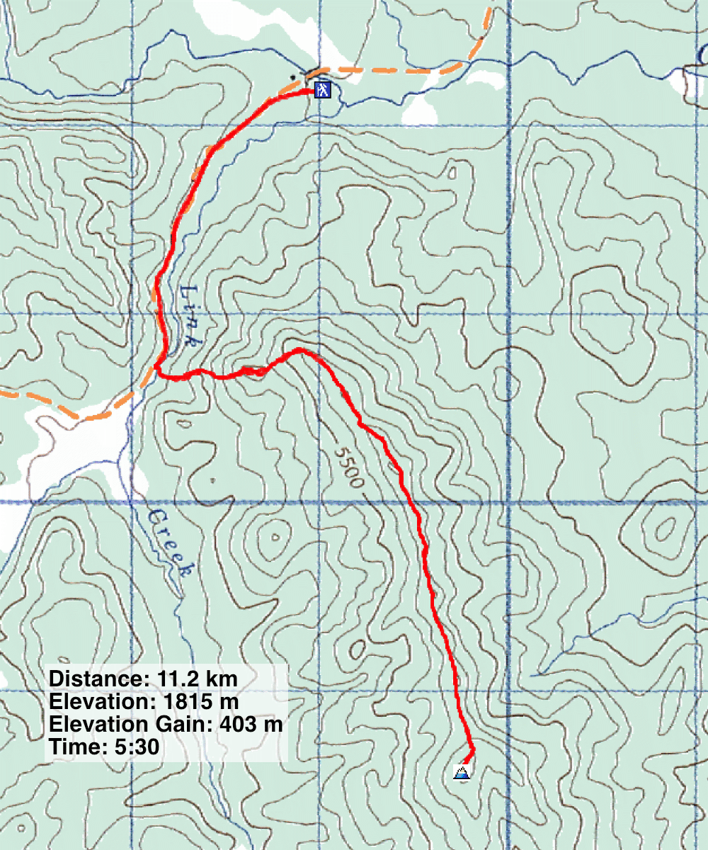
82 J/10 Mount Rae