bobspirko.ca | Home | Canada Trips | US Trips | Hiking | Snowshoeing | MAP | About
View from Bobcat trail
Ranger Hill
Kananaskis, Alberta
February 15, 2020
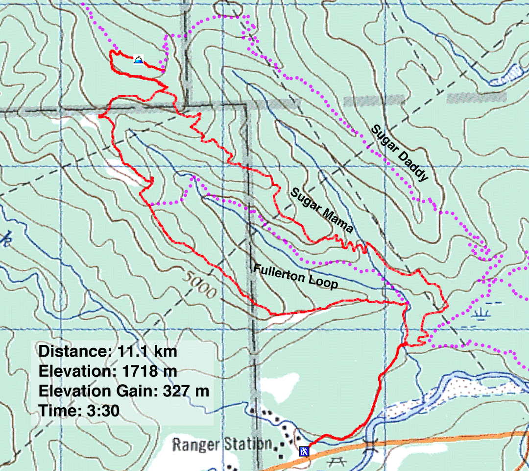
Distance: 11.1 km (6.9 mi)
Cumulative Elevation Gain: 340 m (1115 ft)
Ranger Hill is probably best known by Fullerton Loop, a popular trail that ends short of the summit. However, trails with colourful names make up the shortfall and take you to the top.
Dinah and I hiked up the west fork of Fullerton Loop. At the top of the loop, we took Bobcat trail to a junction on the ridge and turned right for Strange Brew. This trail runs over the summit. Ranger Hill is heavily forested with scant views, and the summit is no exception. There are no views, no cairn, and not even a space to pause. So we continued along the trail for another 200 m to Baruch's Corner. It provided a slight break in the trees with room to sit and relax.
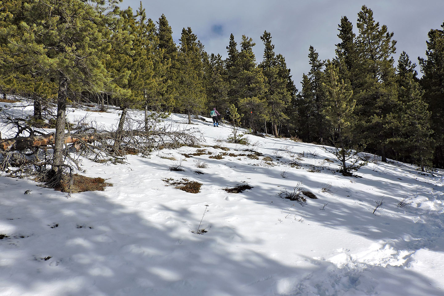
Rather than go back down Fullerton Loop, we took Sugar Mama which branches off of Bobcat. It runs down a ridge to join the main trail. Sugar Mama is a recent addition and does not appear on the maps at the junctions. Another trail, Sugar Daddy, is more recent and we only learned of it after. It comes after Baruch's Corner and creates a larger loop than what we did. Niether Sugar Mama nor Sugar Daddy offer any views.
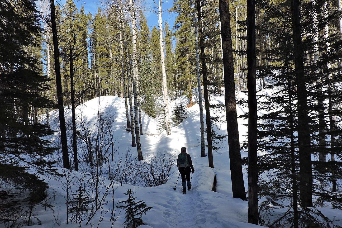
If you want a good workout, you won't find it on Ranger Hill. The grade is gentle, so gentle it attracts a lot of bikers. Outside Fullerton Loop where bikes are prohibited, we encountered more bikers than hikers. But bikes, boots and skis had pounded down the snow on the trails, making this an easy winter hike.
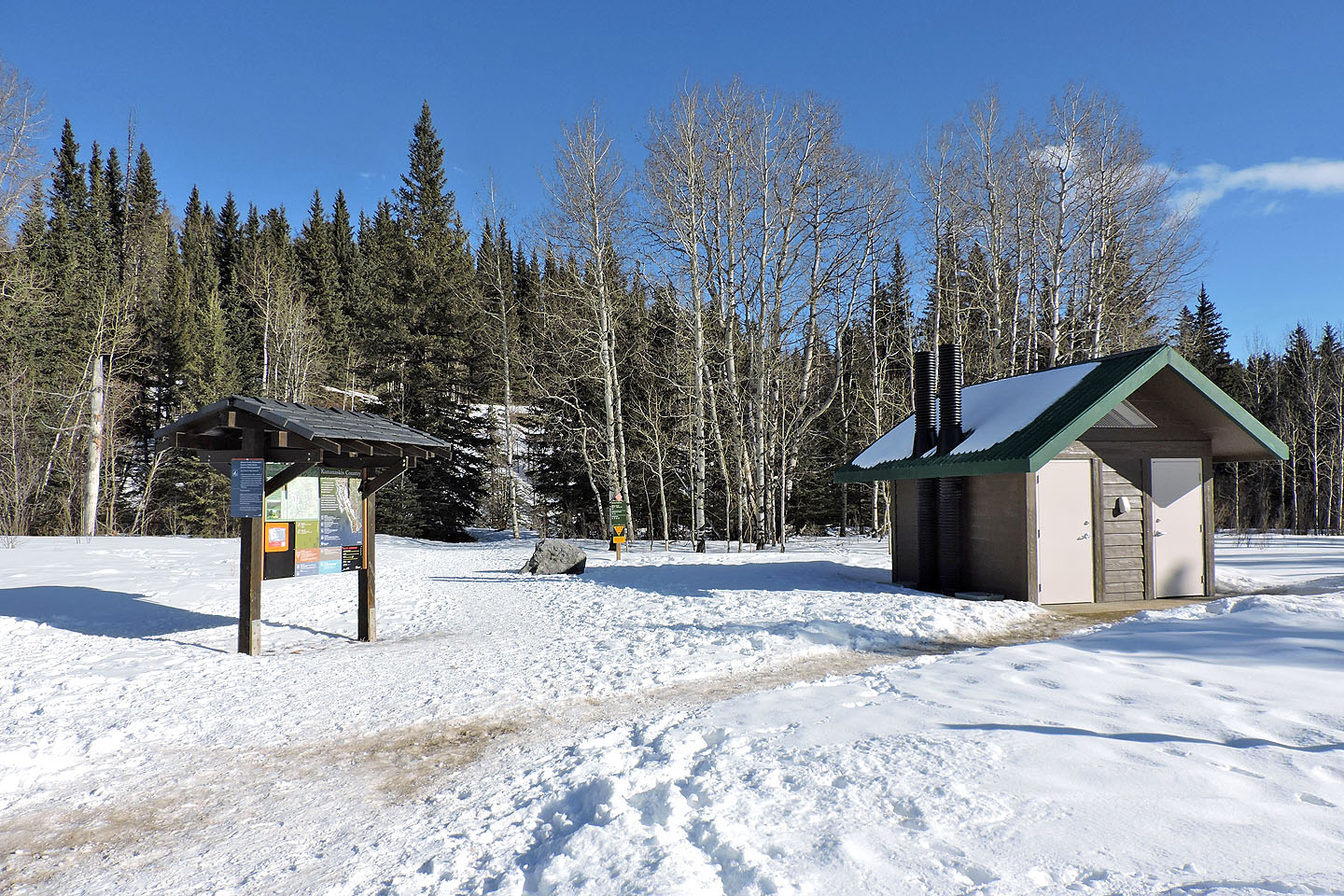
The trailhead at Allen Bill Pond Recreation Area
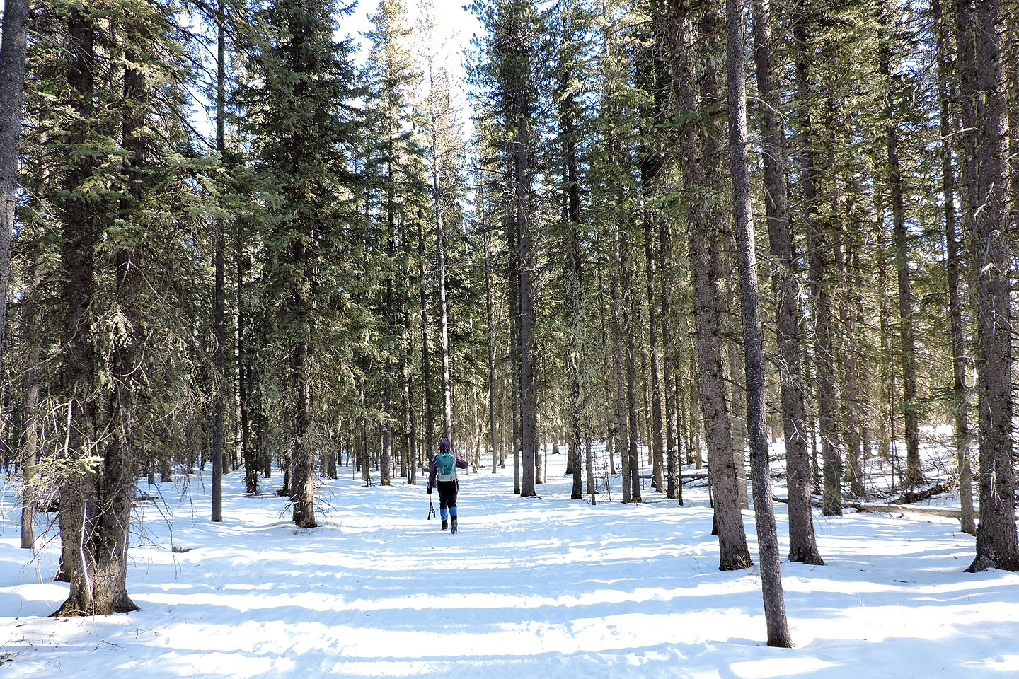
The trail is broad at first
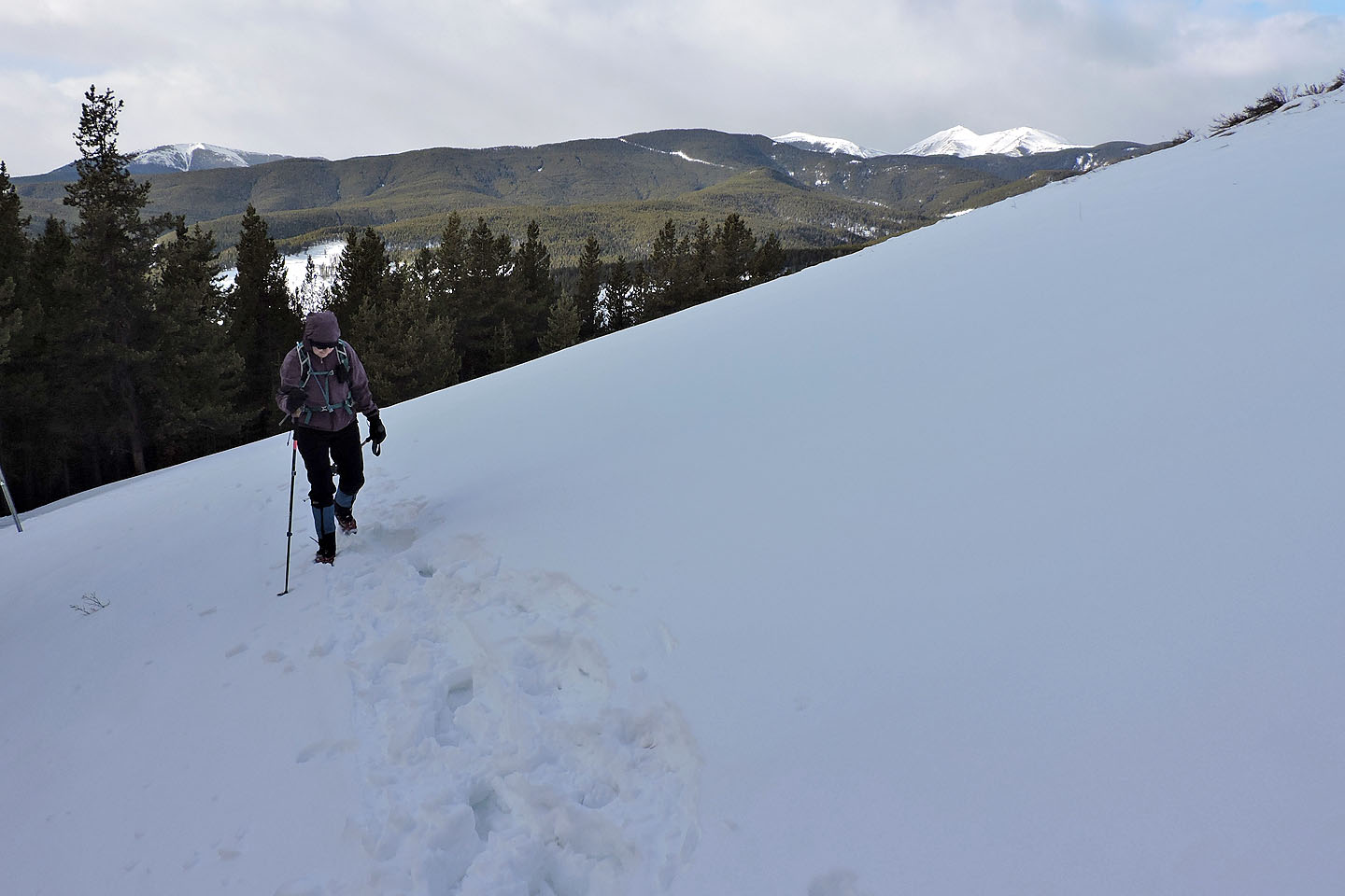
On our left is the ridge we'll ascend
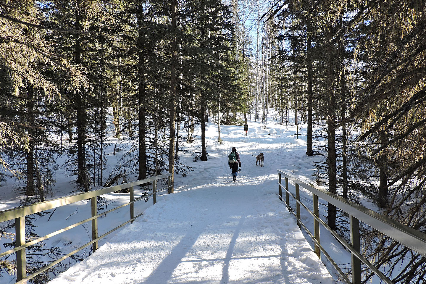
After crossing the bridge we'll turn left to get on Fullerton Loop

At the start of the loop, we turned left
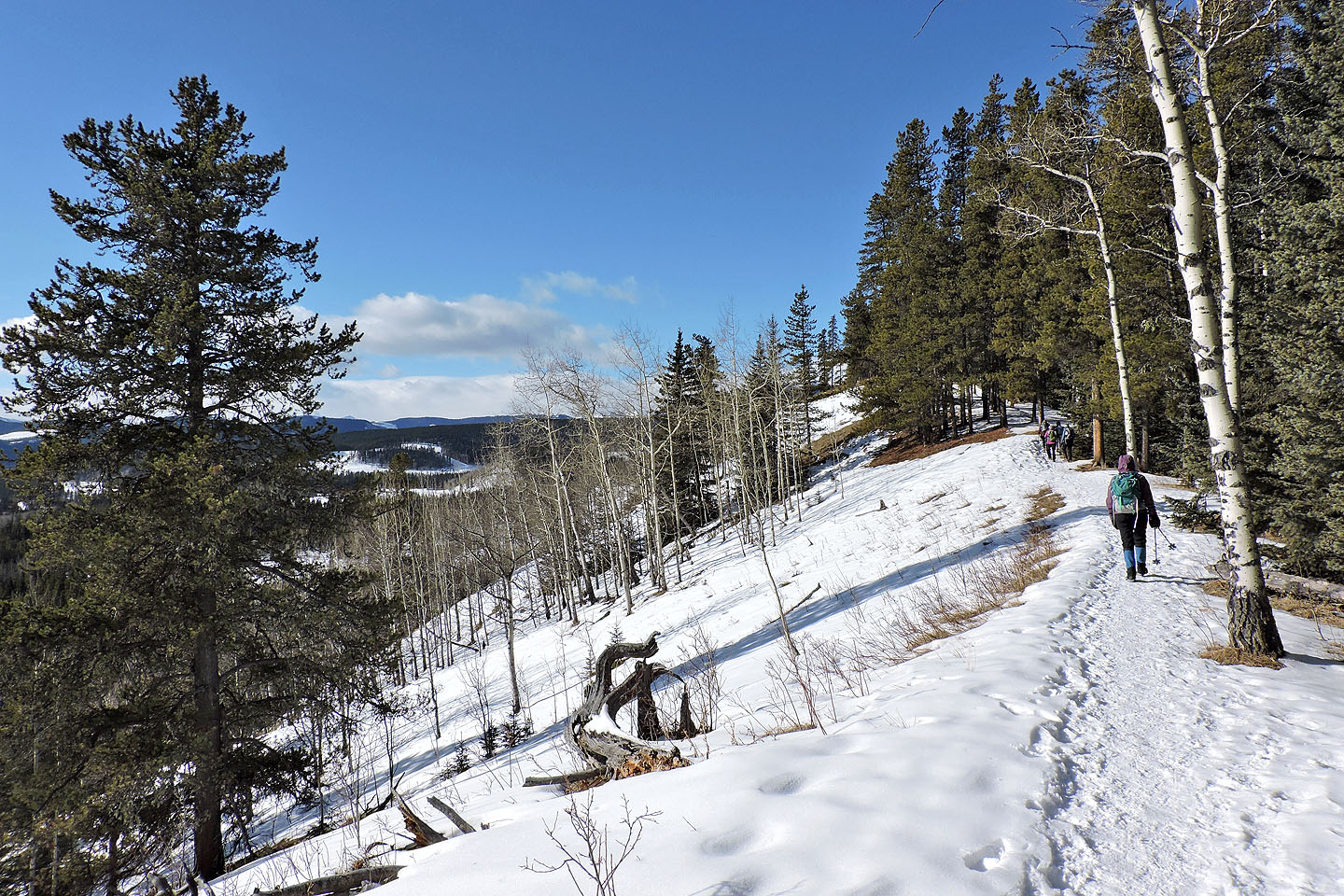
We're soon hiking up the semi-open ridge
Icy sections had us don icers
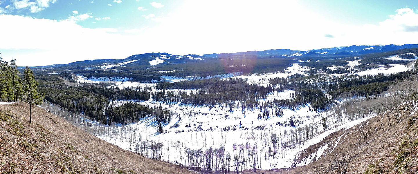
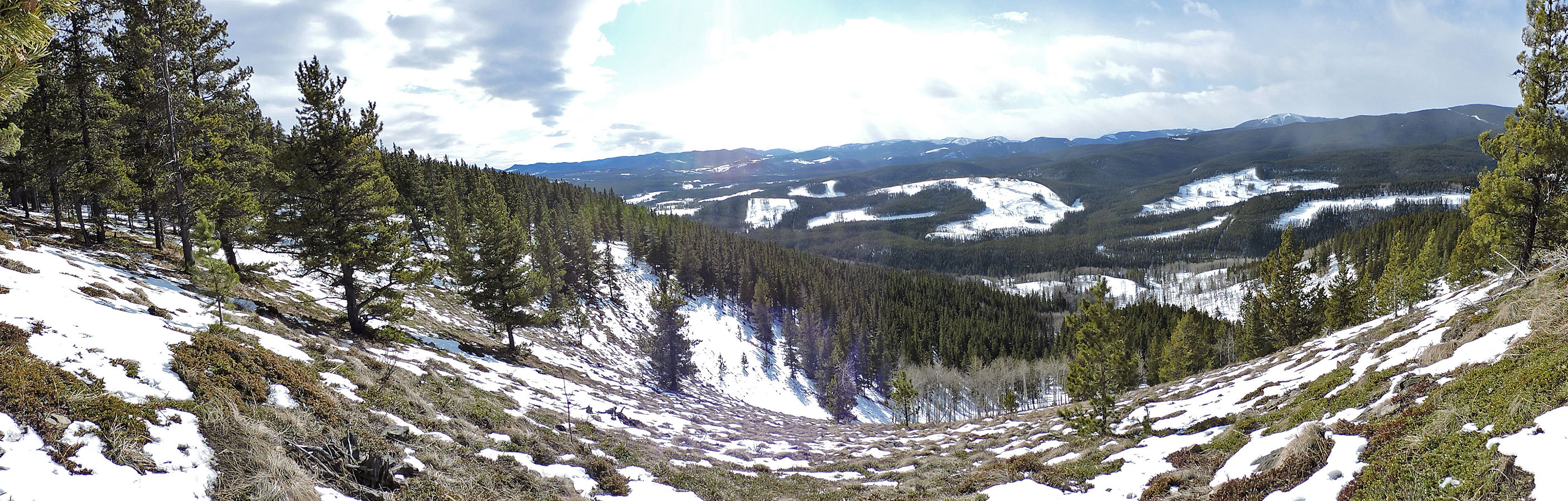
Scene from the viewpoint
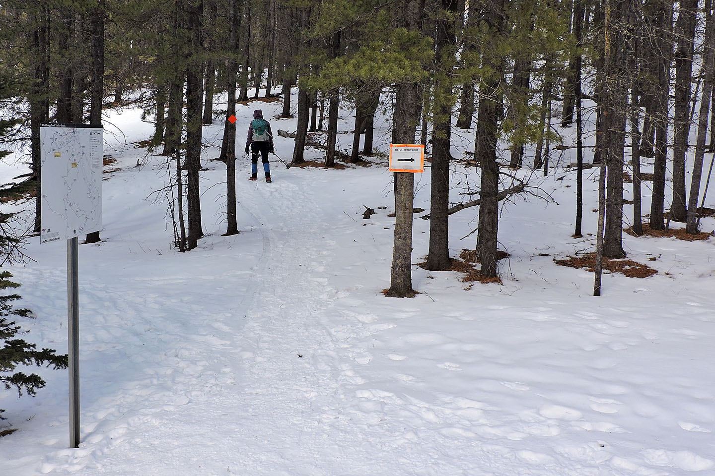
At the north end of Fullerton Loop, we got on Bobcat
A clearing permits a distant view of Moose Mountain (right)
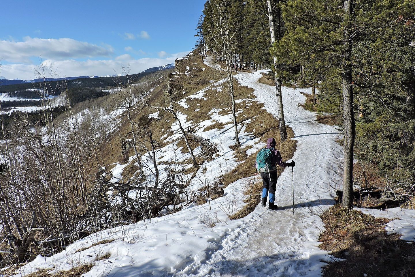
After passing a viewpoint (photo at the top of the page) on Bobcat Trail, the trail re-enters the forest
At the junction for Ranger Summit and Strange Brew, we kept right
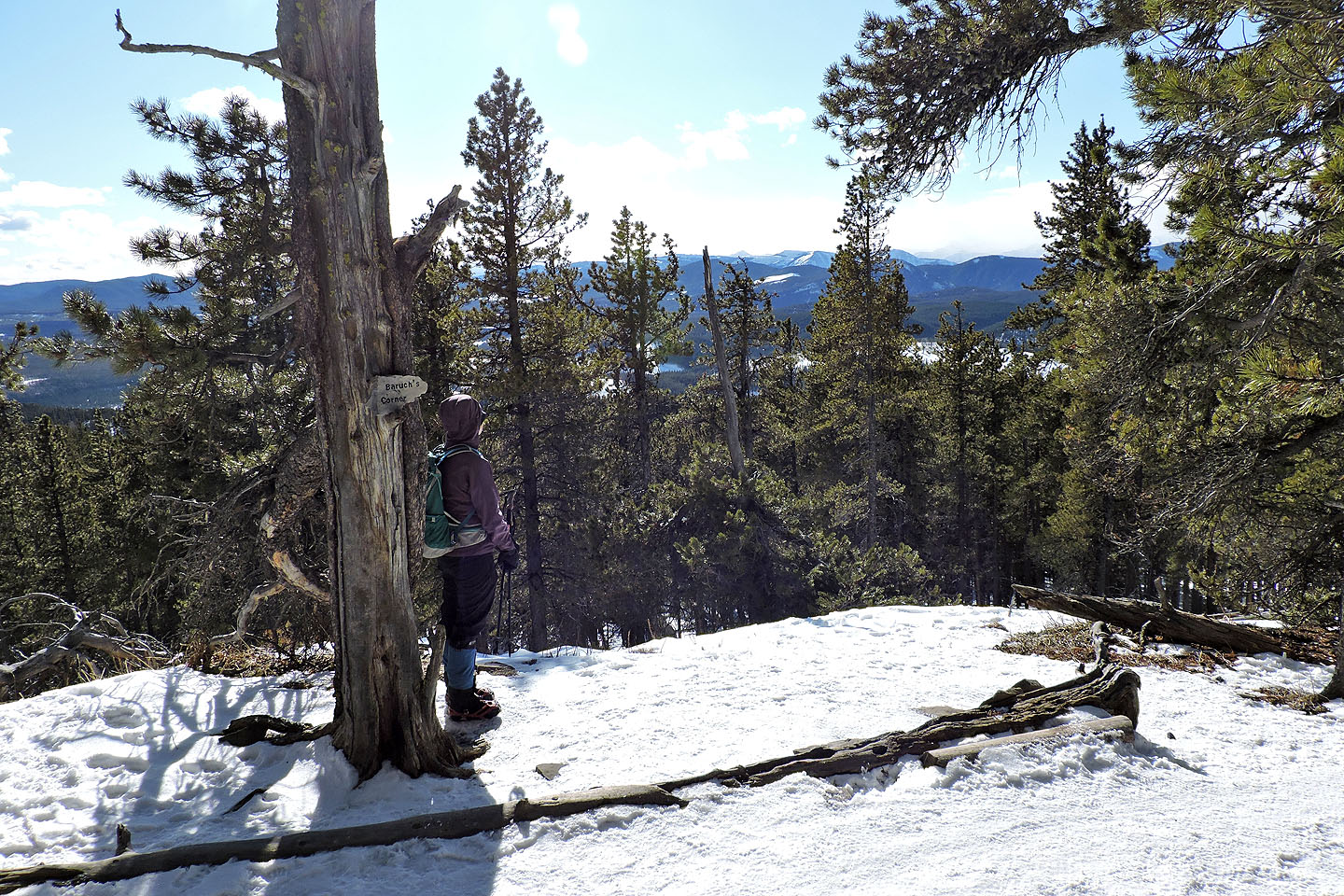
200 m past the viewless summit, we stopped at a small clearing before turning around. The rock in the tree says Baruch's Corner (mouse over).
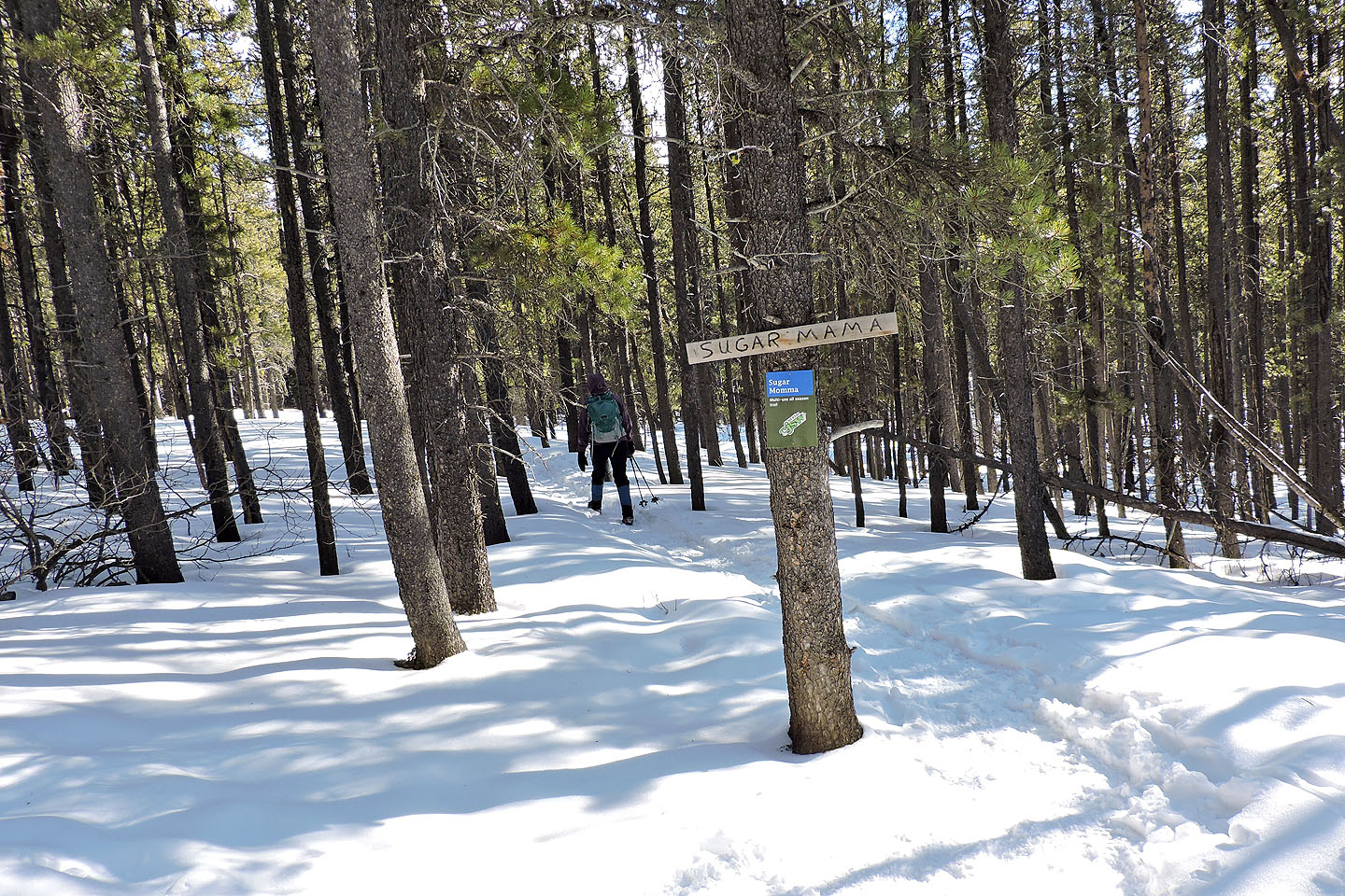
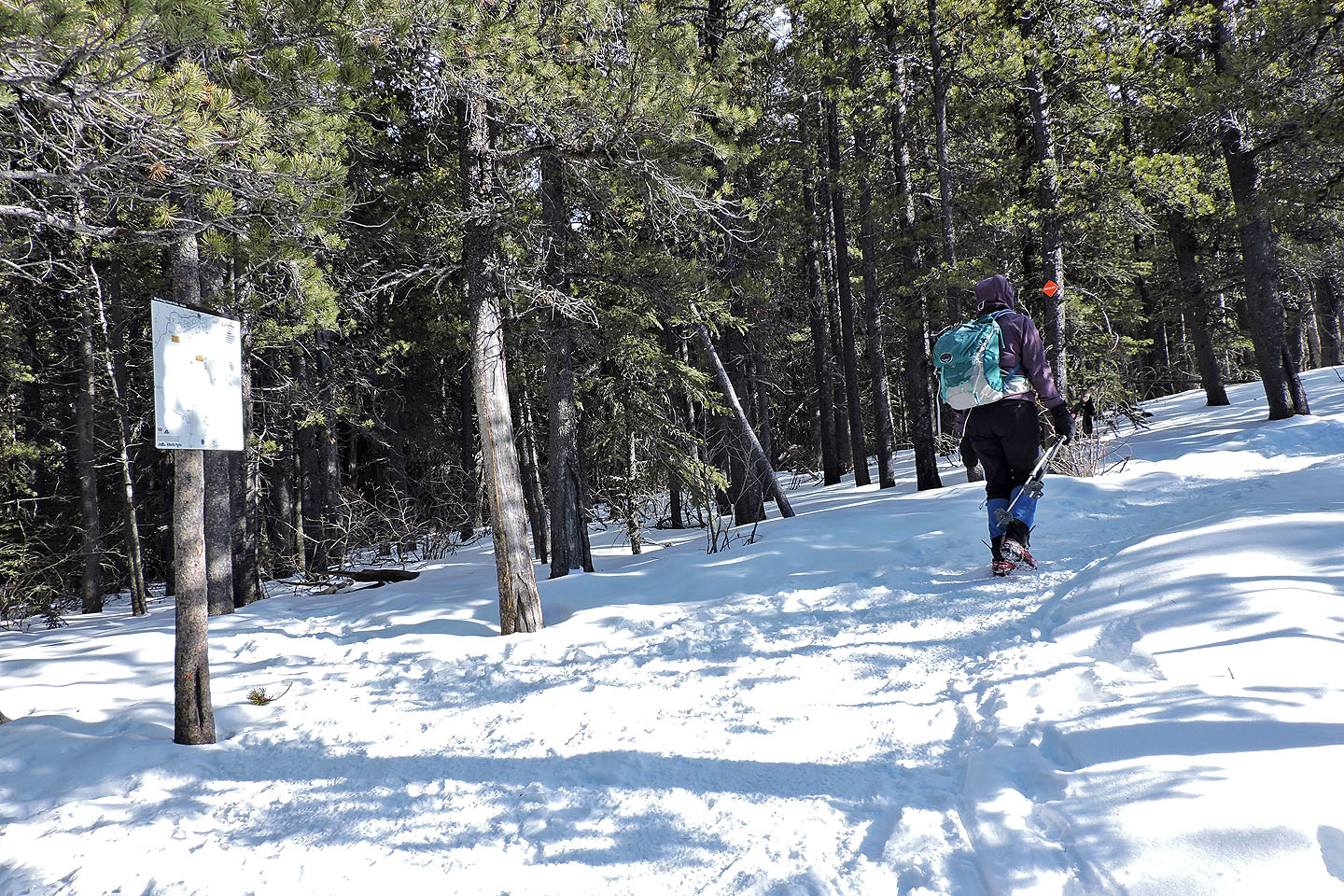
After going back along Bobcat, we turned onto Sugar Mama
After crossing a bridge, the trail makes a sharp right turn
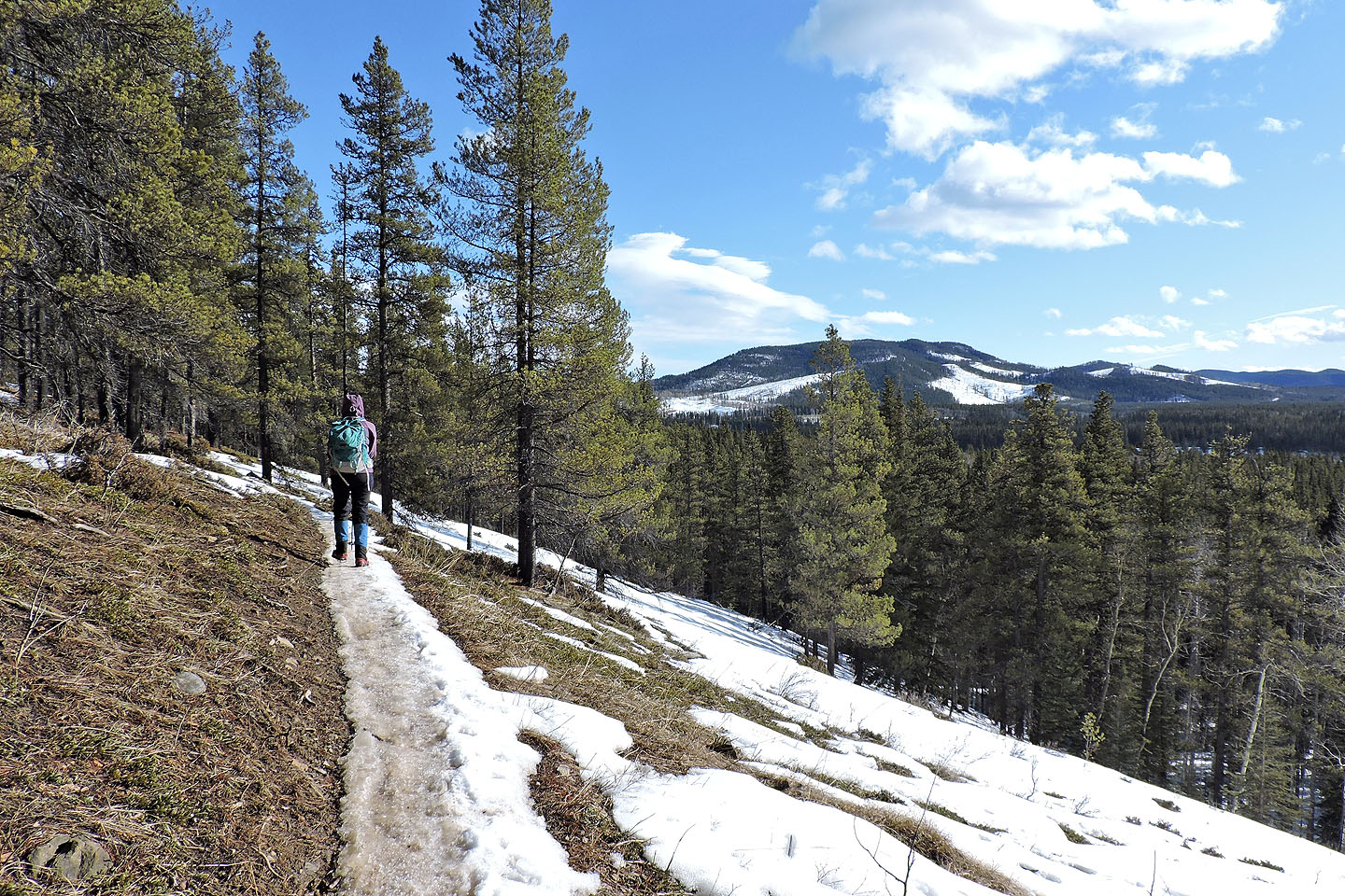
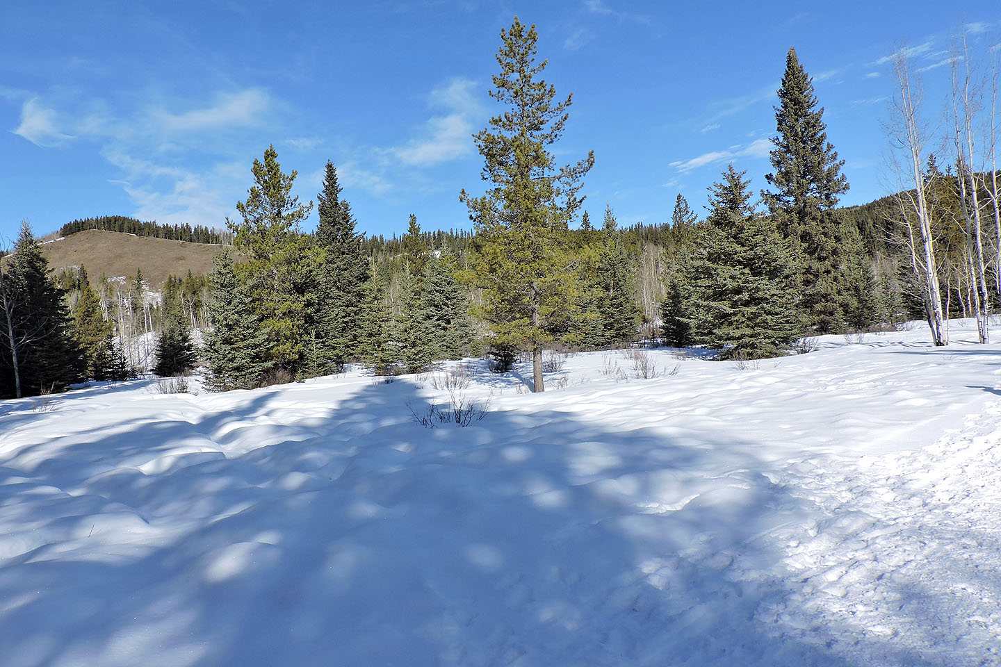
A glade allows a view of McLean Hill
82 J/15 Bragg Creek