bobspirko.ca | Home | Canada Trips | US Trips | Hiking | Snowshoeing | MAP | About

Porcupine Ridge
Kananaskis, Alberta
September 6, 2014
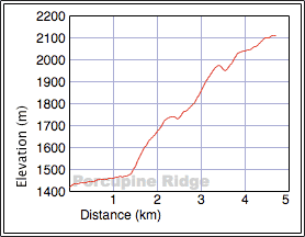
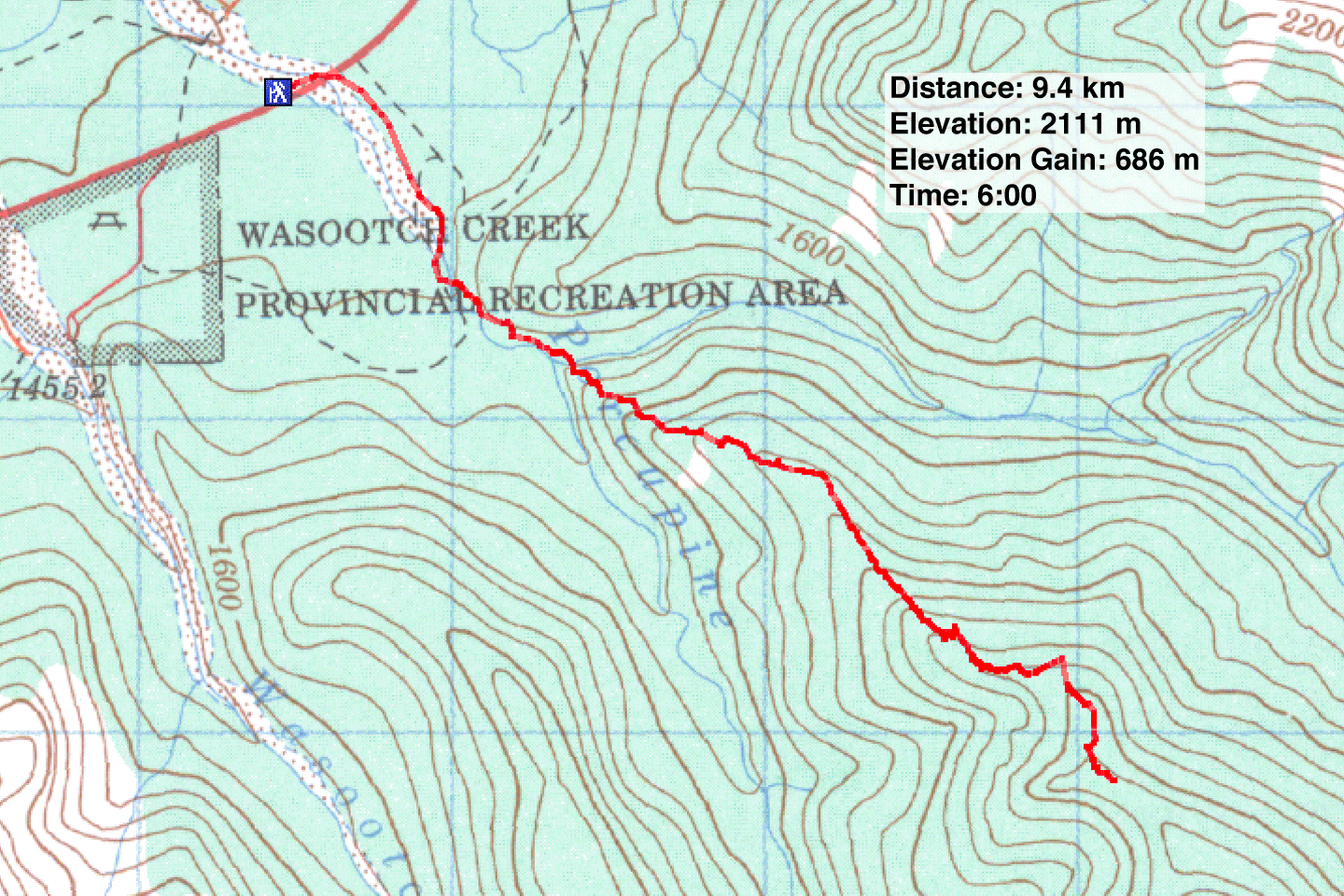
Distance: 9.4 km (5.8 mi)
Cumulative Elevation Gain: 760 m (2493 ft)
We almost didn't go. Dinah and I were suffering from a nasty cold, and if the weather forecast had been less than perfect, we probably wouldn't have gone to the mountains. But the promise of warm temperatures, calm winds and clear blue skies beckoned. We decided to hike up Porcupine Ridge and hoped we had the energy to climb 700 m.
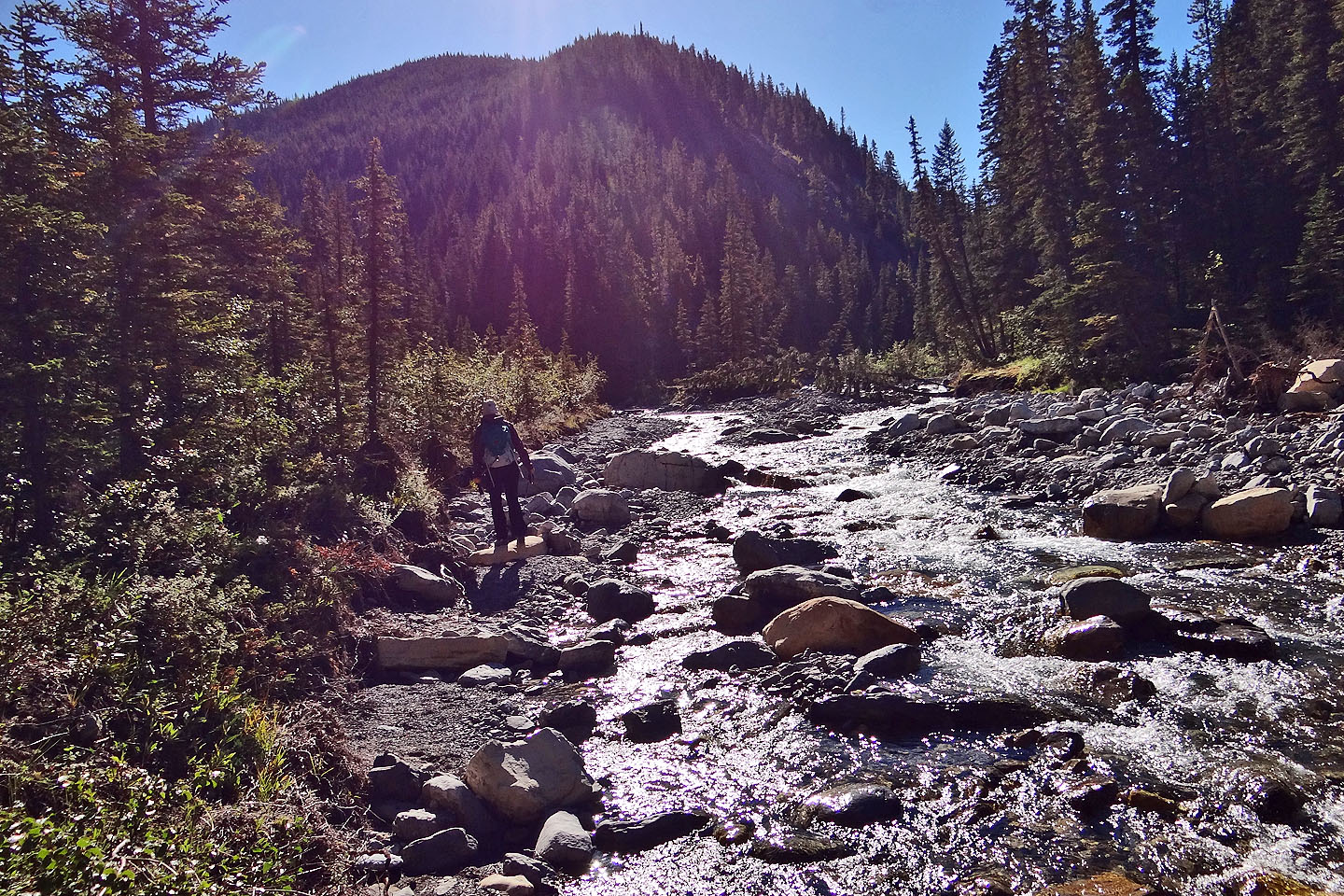
We closely followed the route in Kananaskis Country Trail Guide except for a section near the start. After following Porcupine Creek past the forks, we ascended the ridge directly. In her book, Gillean suggests following the left bank of the southeast creek before hiking up north-facing slopes to gain the ridge, but when we followed the bank a short distance, travel became difficult, possibly damaged from last year's flood. It made more sense to take the ridge.
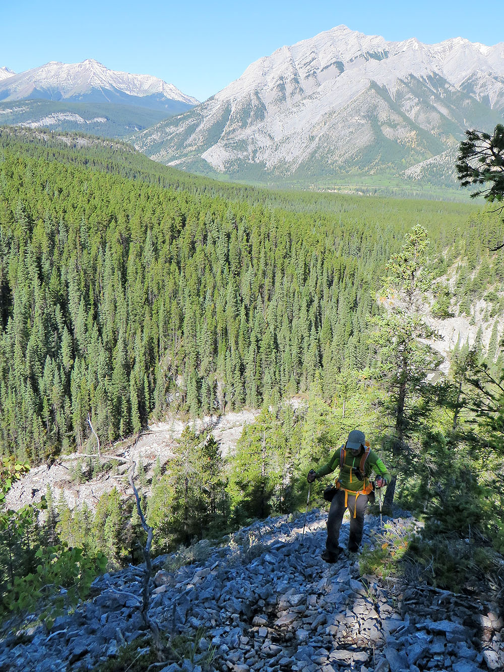
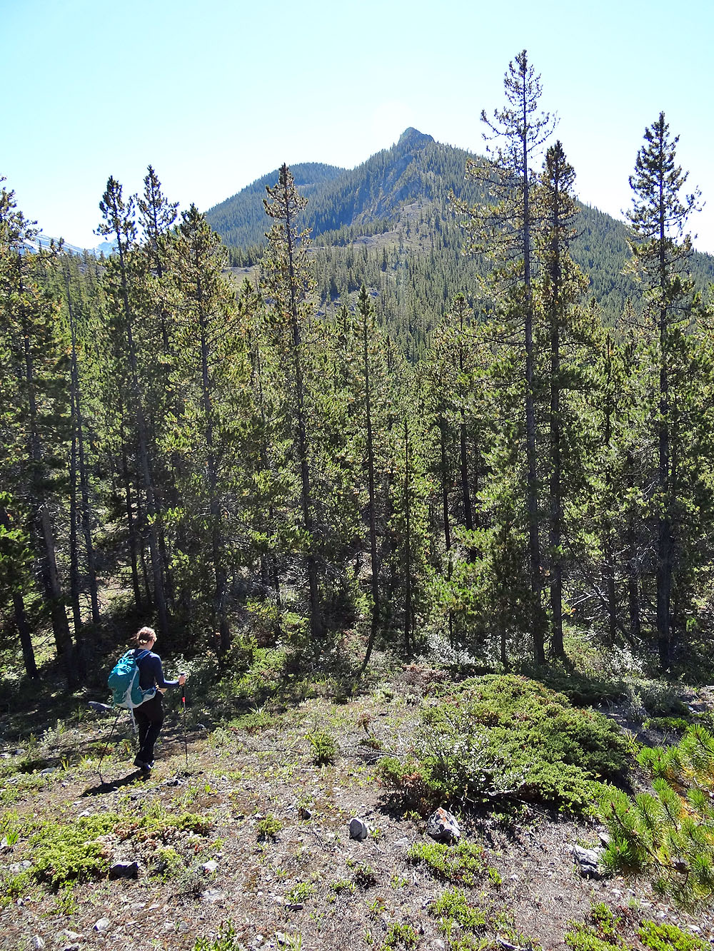
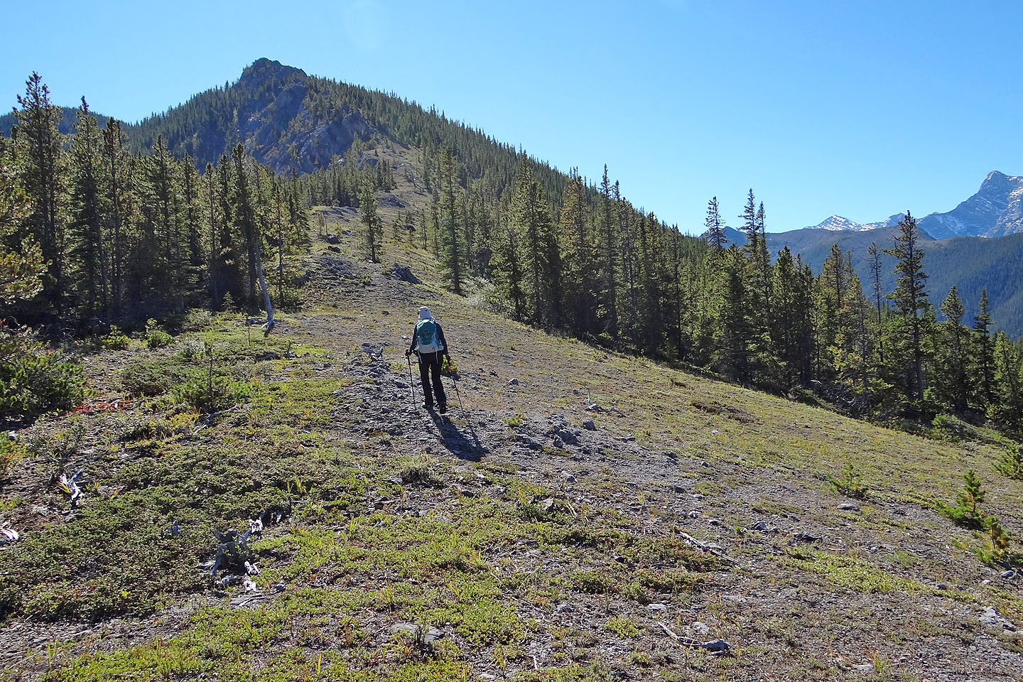
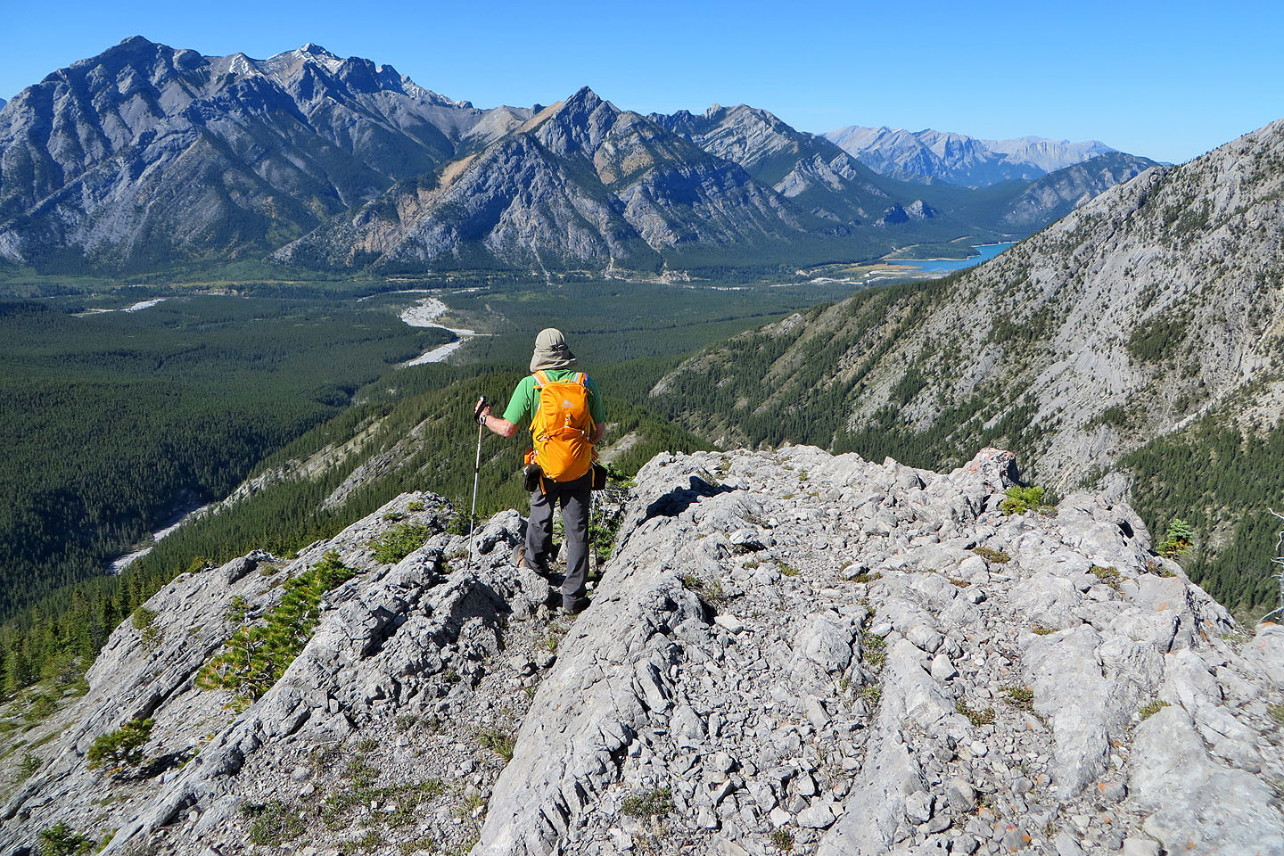
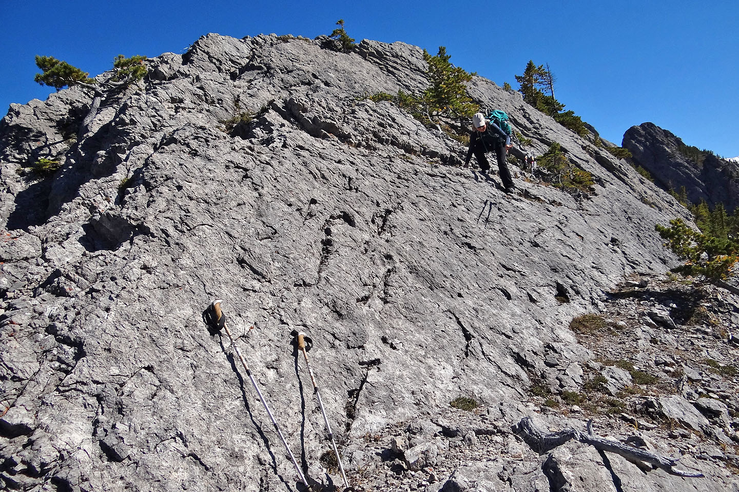
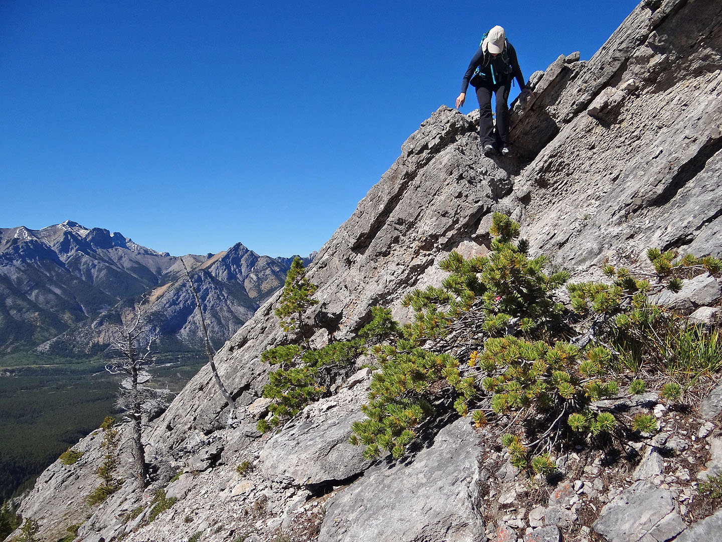
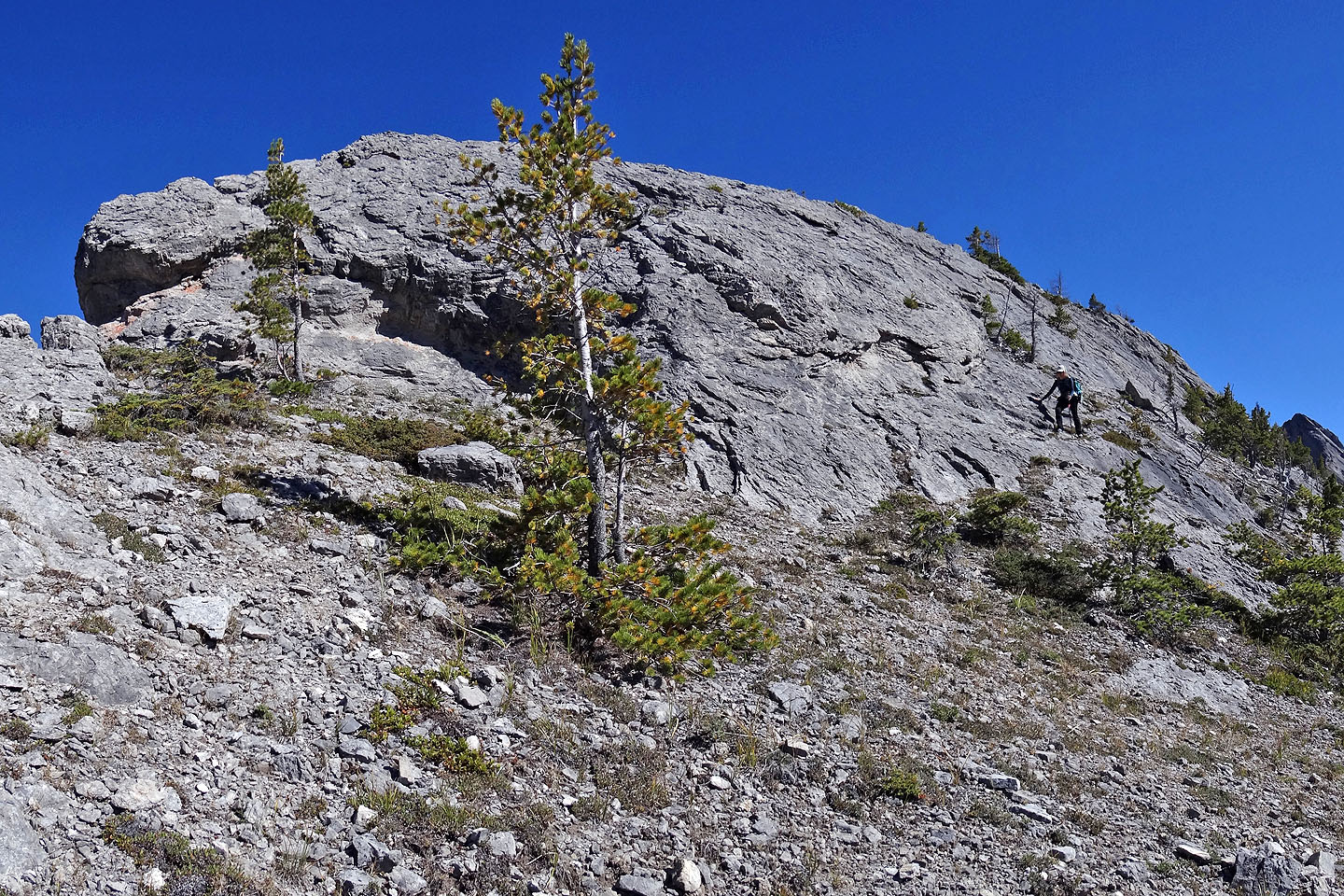
At the bottom of the ridge, we caught a trail. It wasn't always obvious, and we lost it at times, but we quickly found it by sticking close to the ridge crest. Eventually, we emerged from the trees onto a grassy ridge extending to the base of a rocky ridge. There are two ways up it. Gillean suggests going up a groove on the left (minor exposure), but the open slope around the end on the right was easier. Either way takes you to easy-angled slabs. After scrambling up these, we reached a level stretch where impressive pinnacles came into view. To reach them, we dropped down to an open col and followed a faint trail through the trees. We took a closer look at the pinnacles (366472) before moving on to the high point on Porcupine Ridge.
We still weren't feeling well – certainly not running on all cylinders – but the mountain air invigorated us and we were able to reach the high point. A clearing allowed us to view several peaks, including nearby Midnight and Tiara.
There was no summit cairn, which surprised us. For that matter, I'm puzzled why a good trail hasn't been pounded down the entire length of Porcupine Ridge since it offers some unusual and delightful scenery.
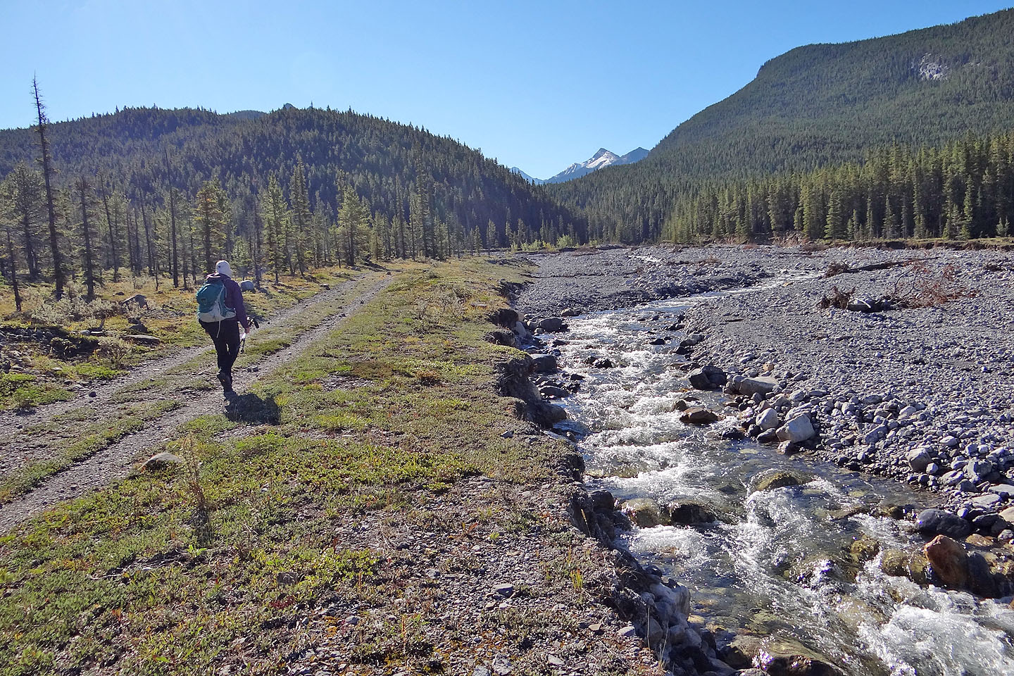
Starting up the north bank of Porcupine Creek
Ten minutes after starting out we passed a hewn log bridge. One can cross the bridge and recross the
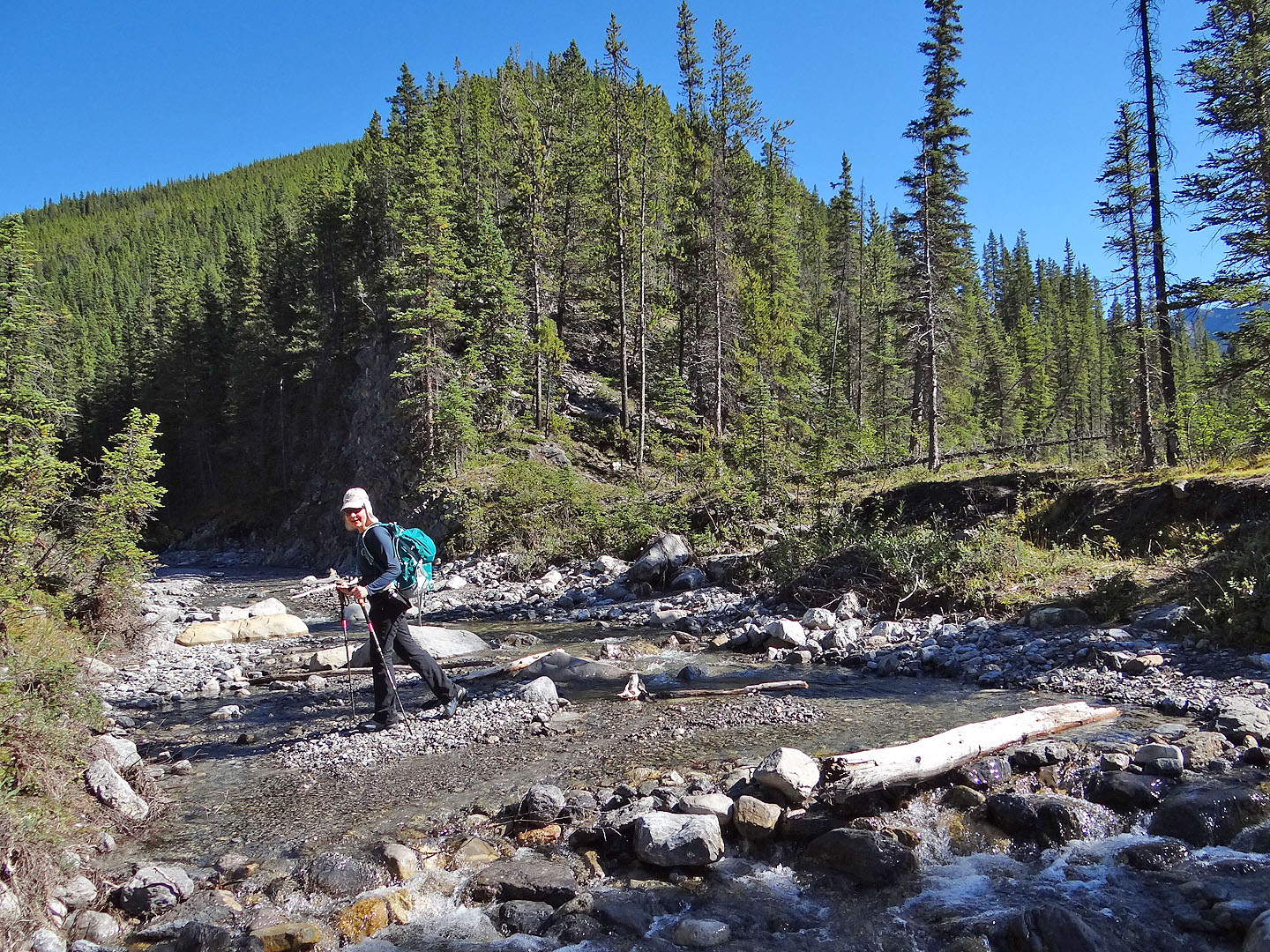
creek 150 m upstream on a pile of skinny logs, but we kept to the north bank.
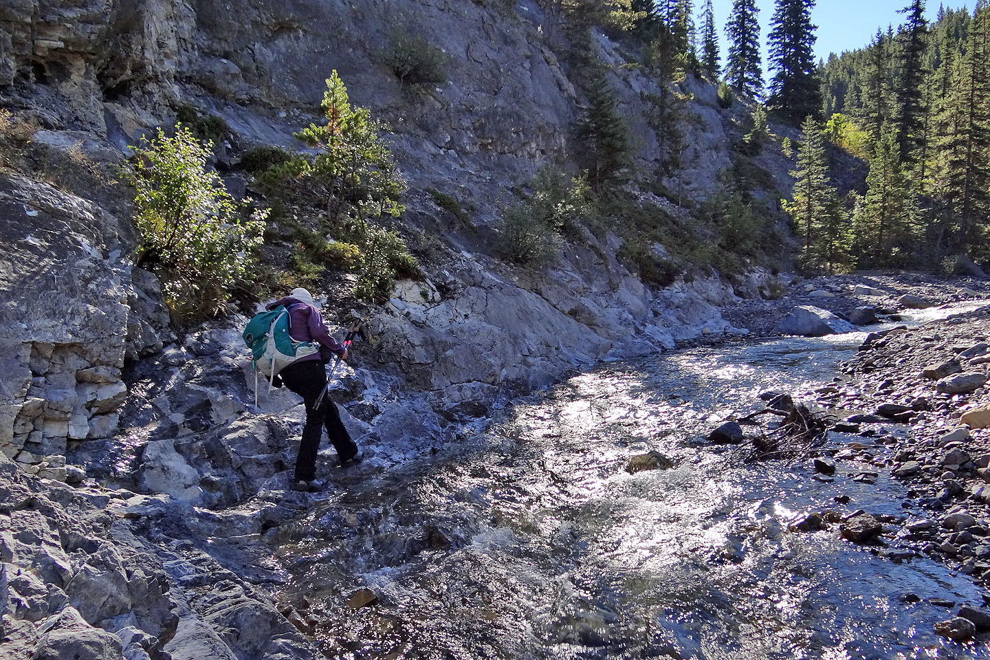
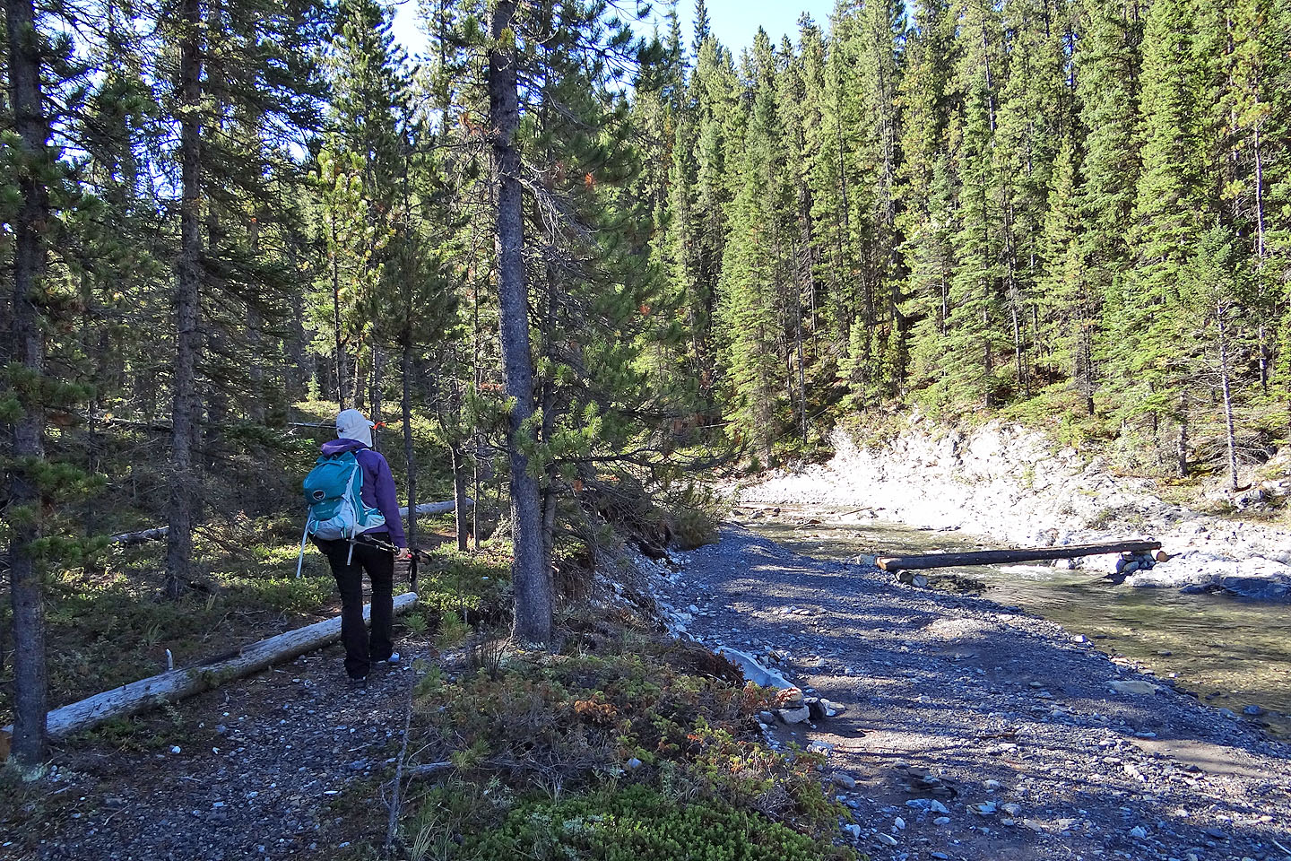
Negotiating the bank before the forks
We ascended the end of the ridge above the forks
Hiking up the ridge well above the creek
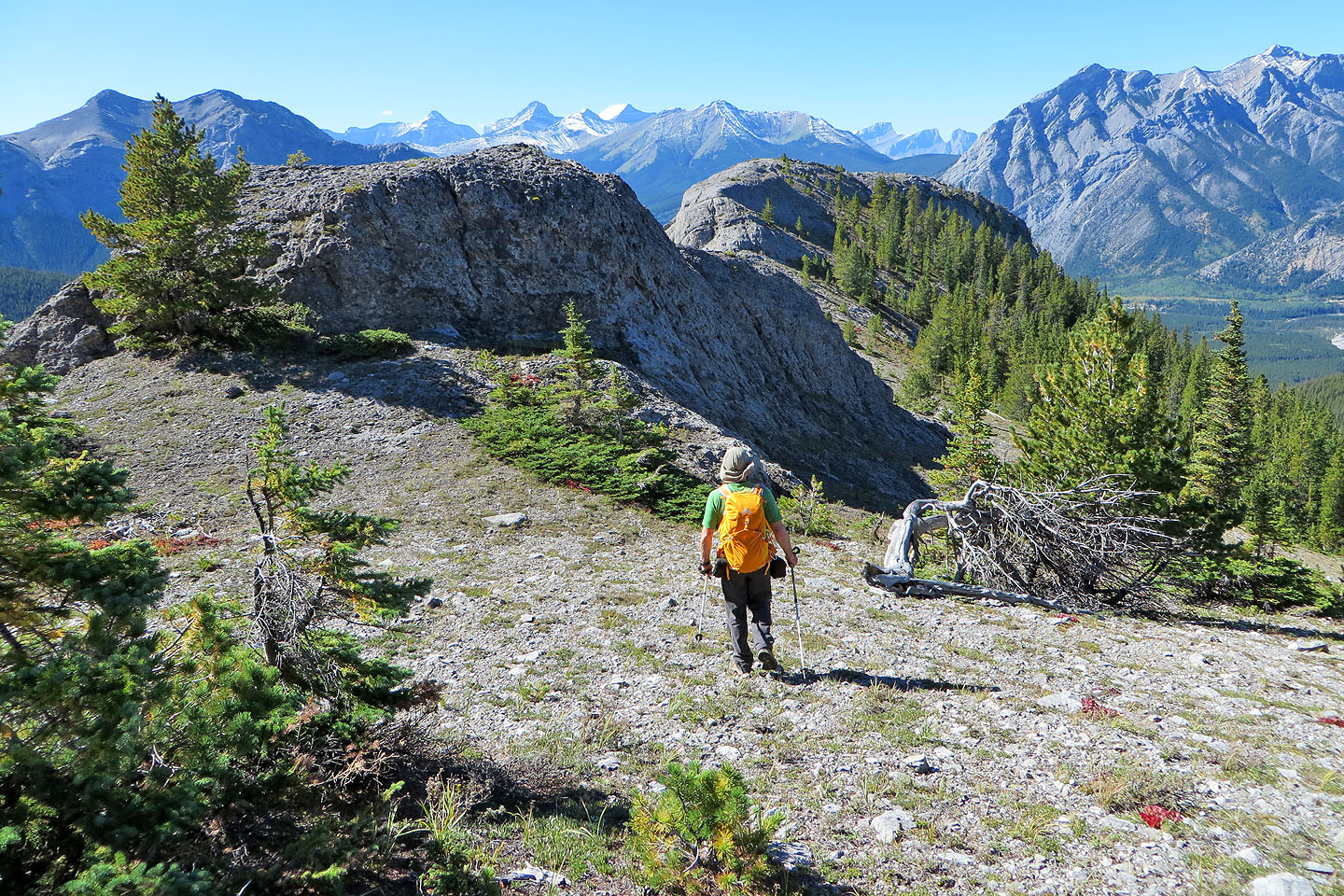
From a clearing we viewed the ridge ahead
A pleasant open ridge stretches to the base of the rock ridge
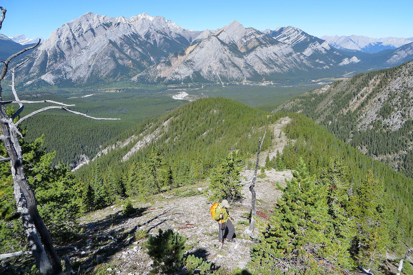
Boundary Ridge in the background
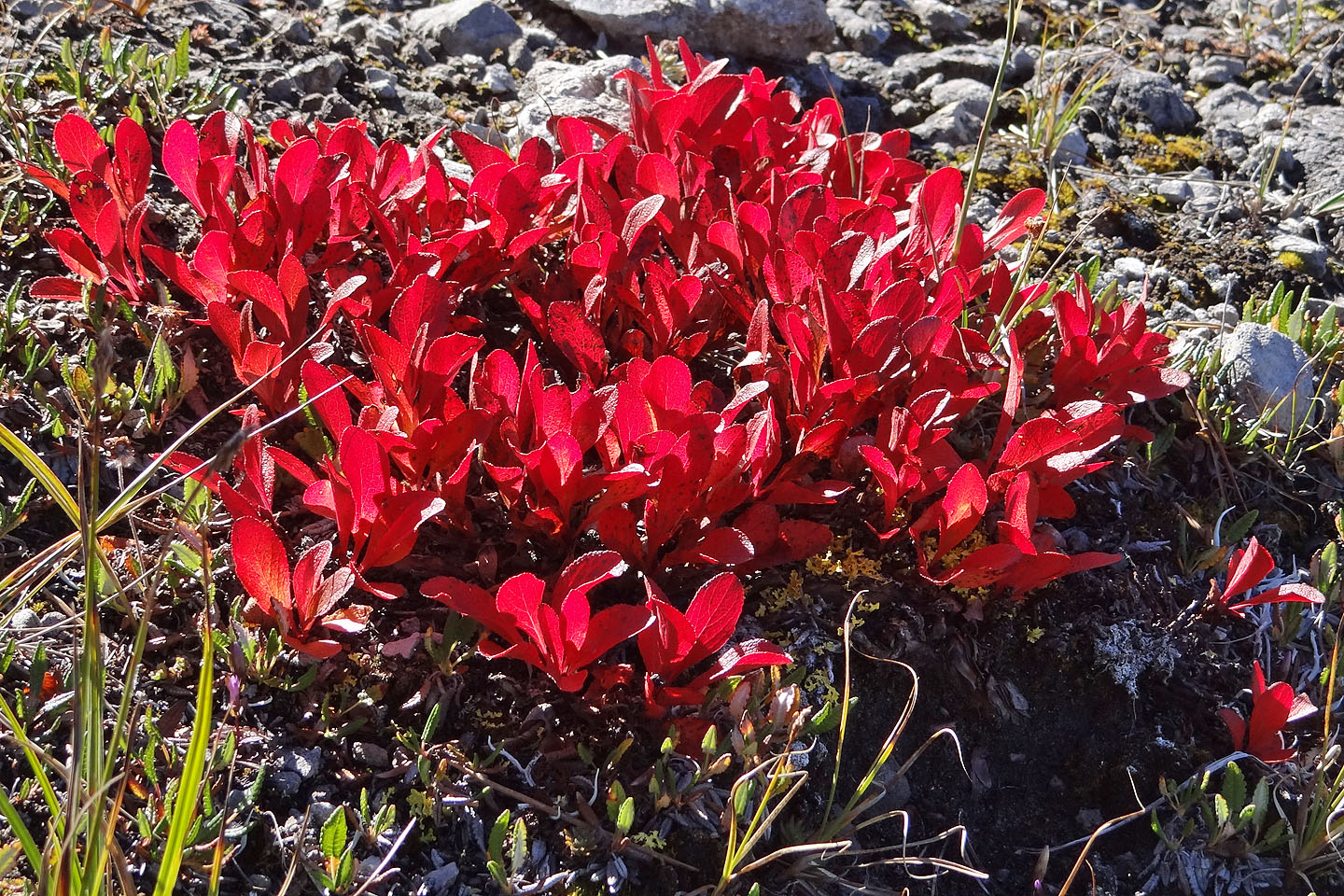
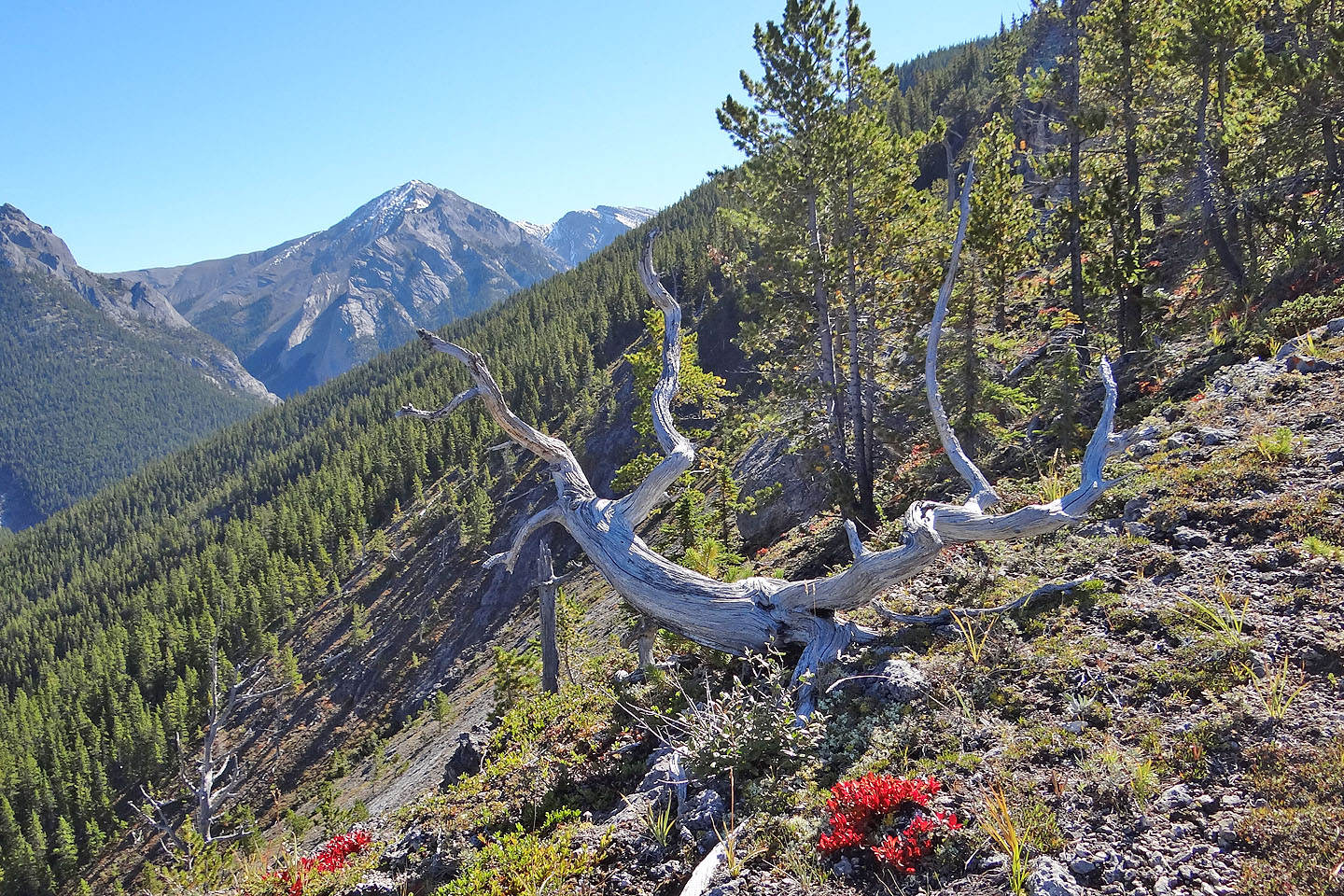
Fall colours are already kicking in
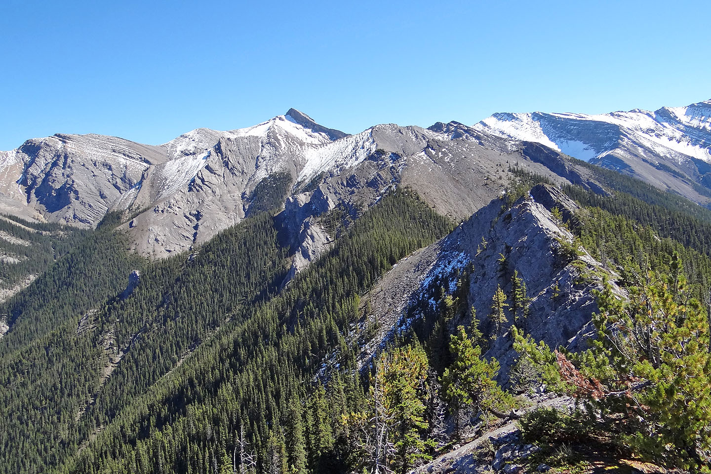
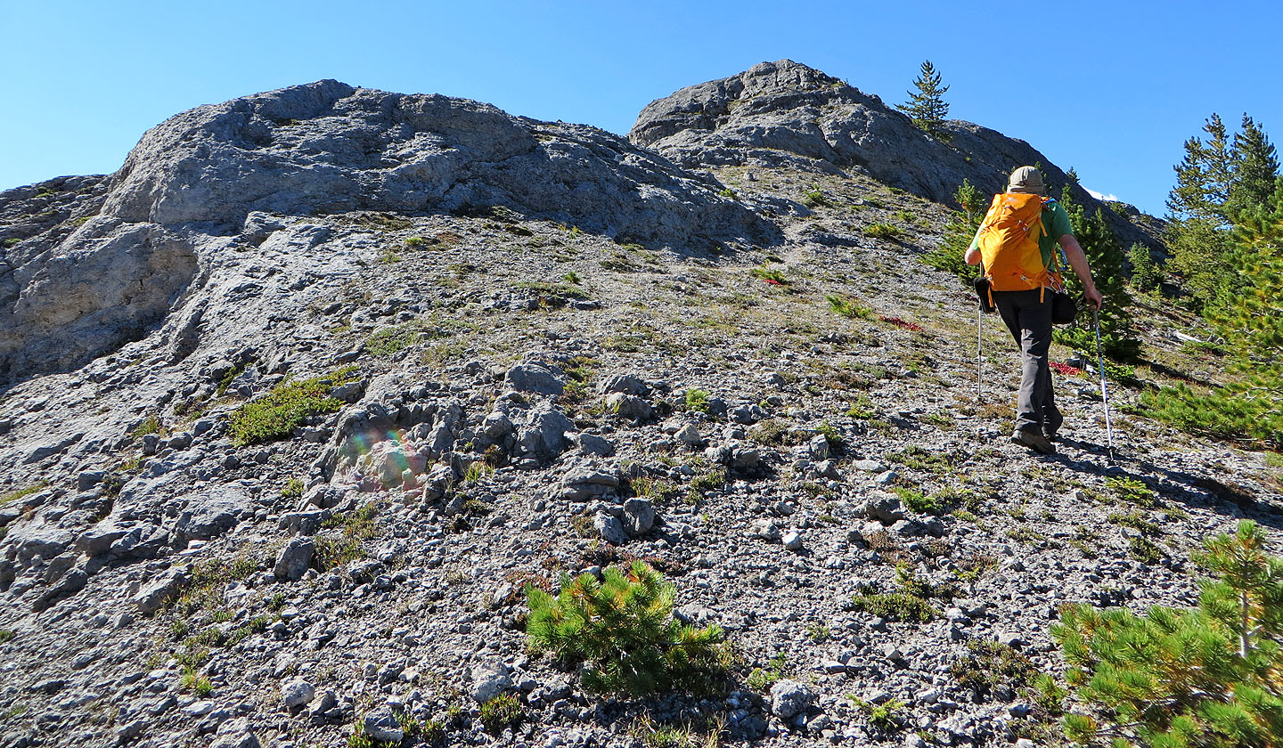
Looking back along the ridge
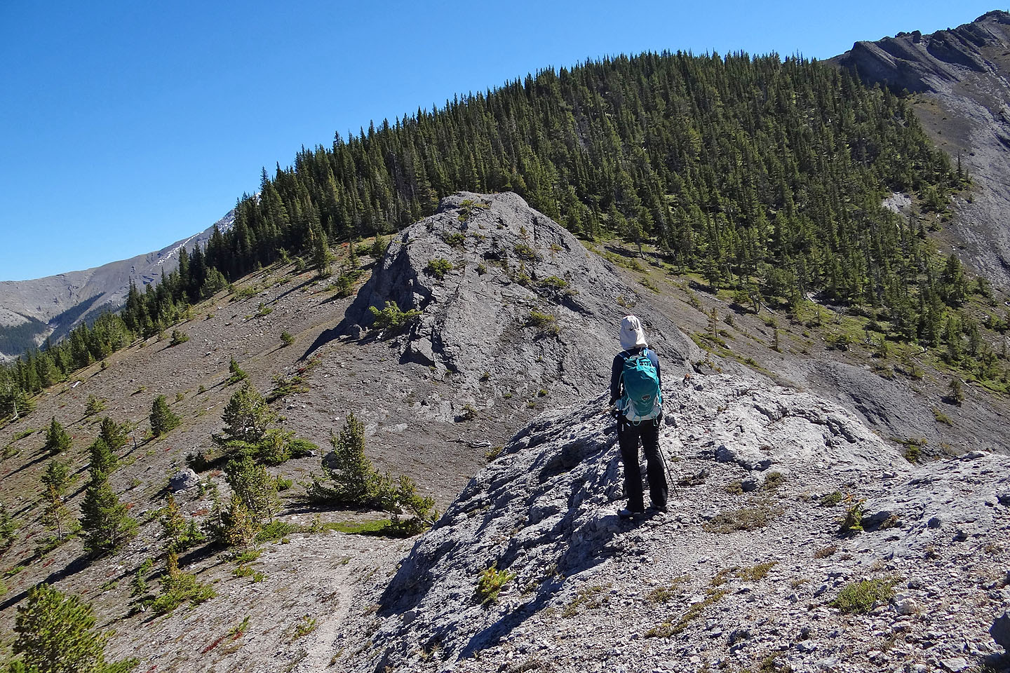
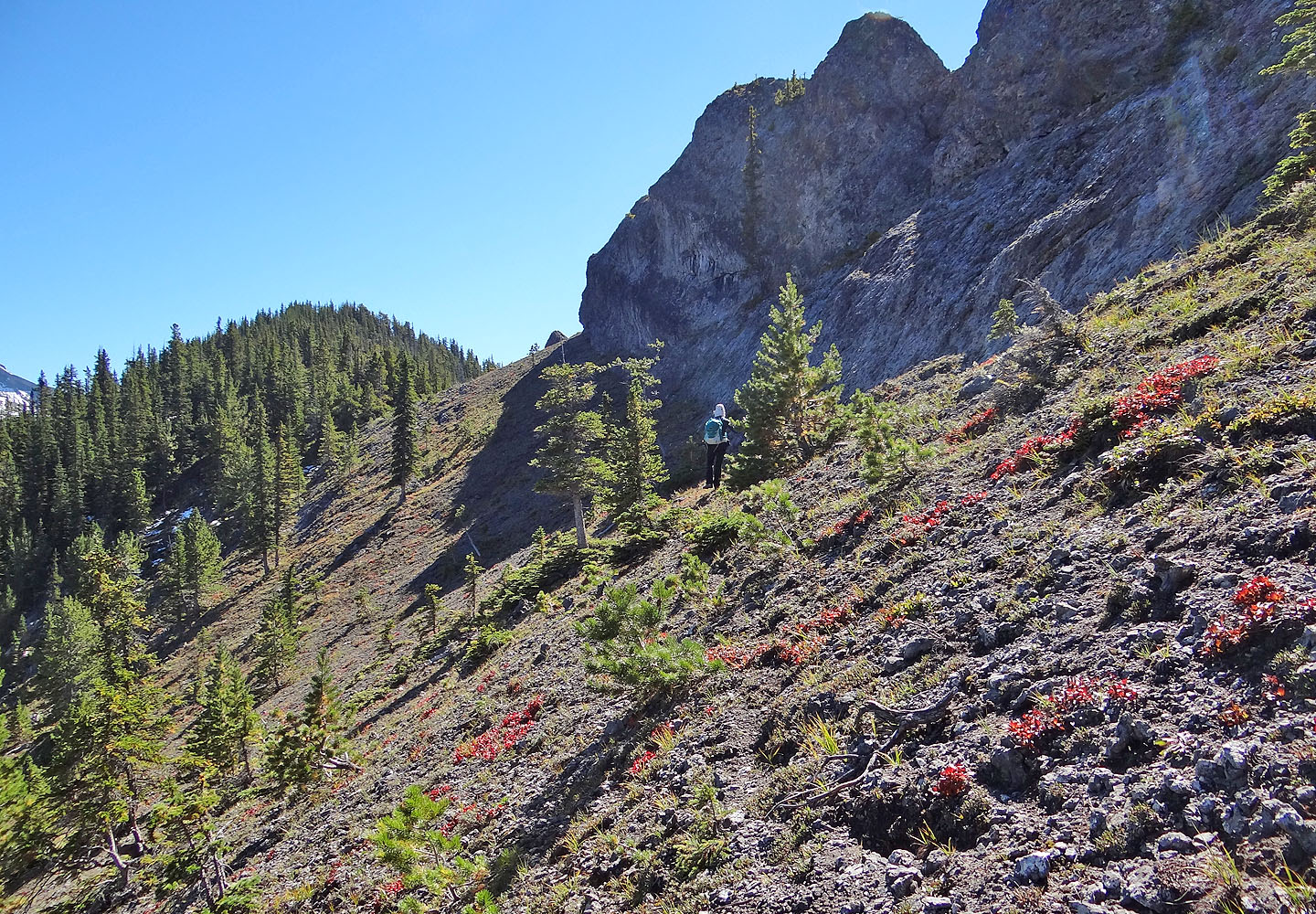
At the base of the cliffs we kept right
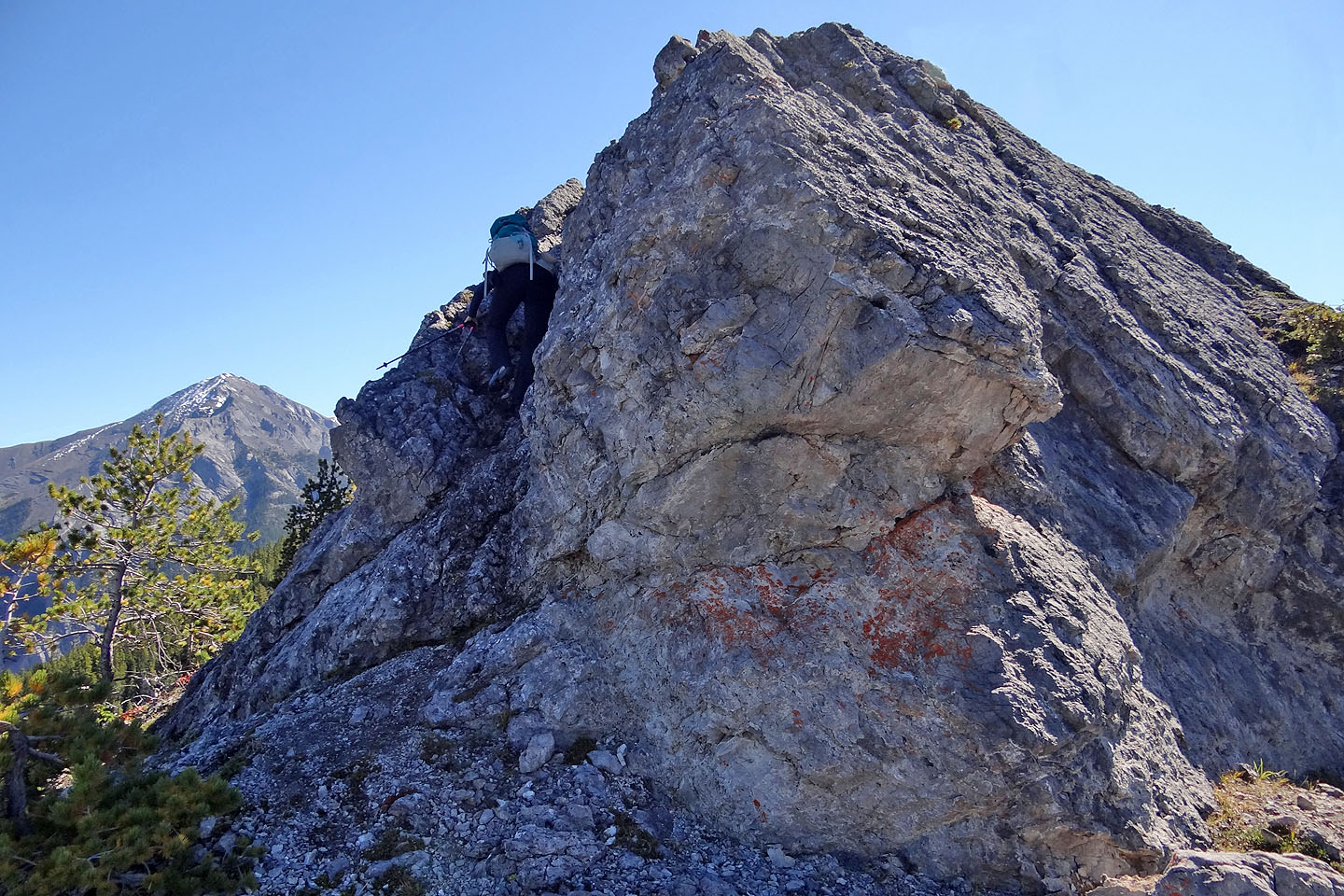
Dinah ascends the groove on the left side of the ridge
The slabs above the groove
Dinah scrambles up the slabs
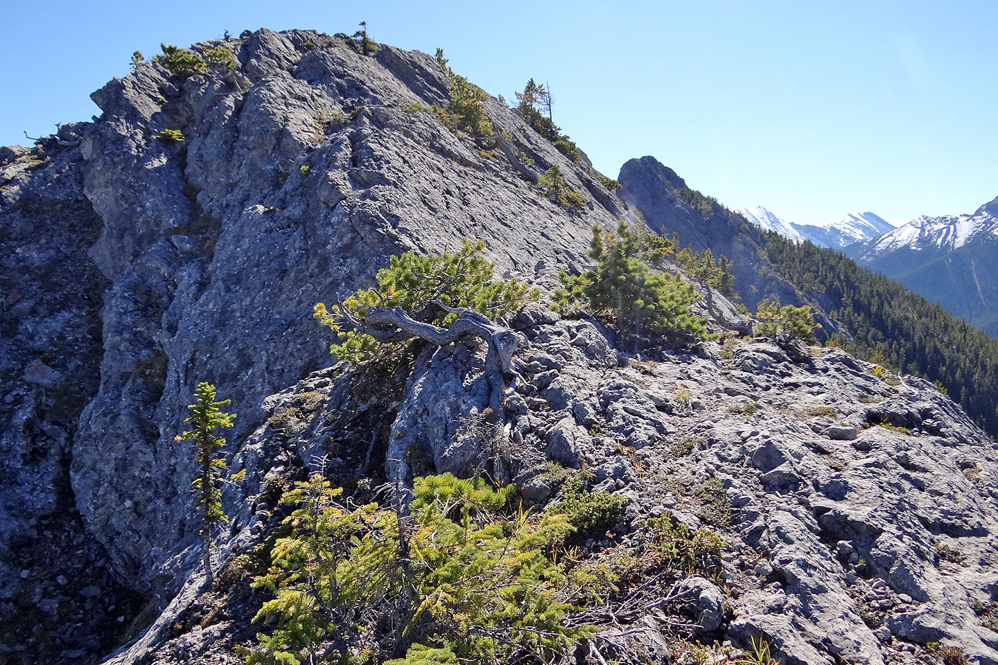
The pinnacles seen from the rock ridge
Heading to the col before the pinnacles
The route turns left but first we made our way up to the pinnacles
On a high point by the pinnacles

Looking back (click for a larger image)
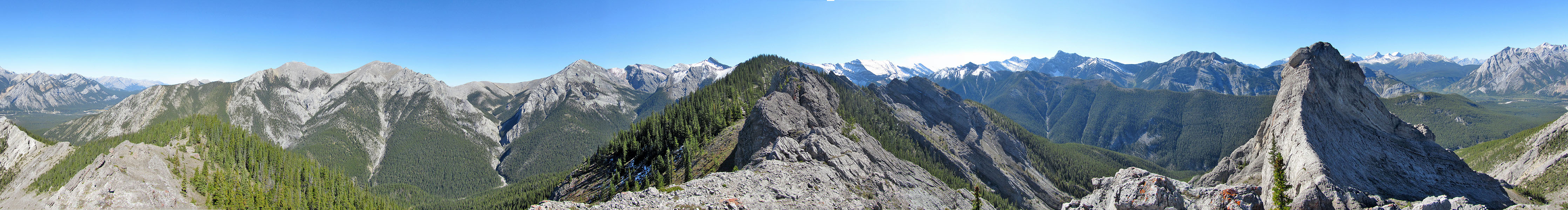
Panorama by the pinnacles. Midnight Peak left, in the foreground
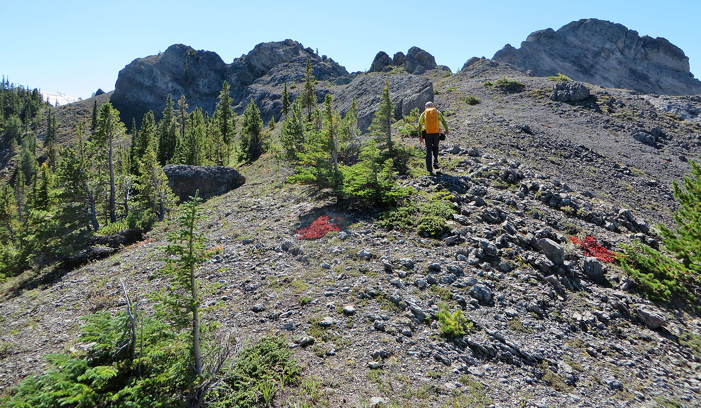
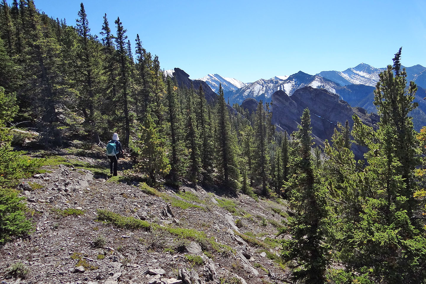
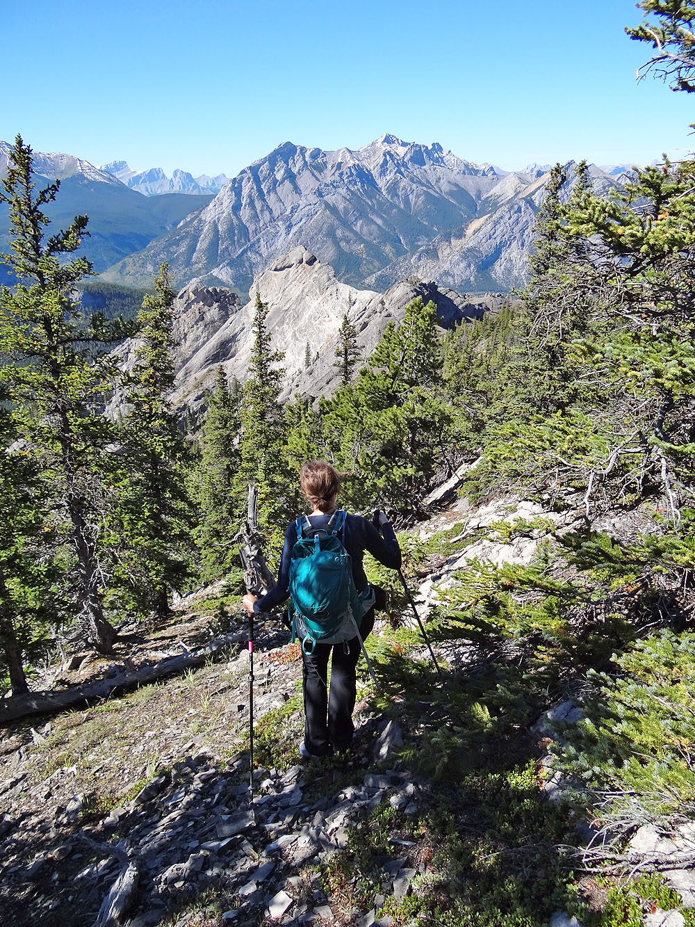
Continuing along the ridge below the pinnacles
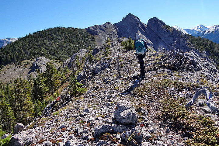
On the way to the high point, we passed another set of pinnacles
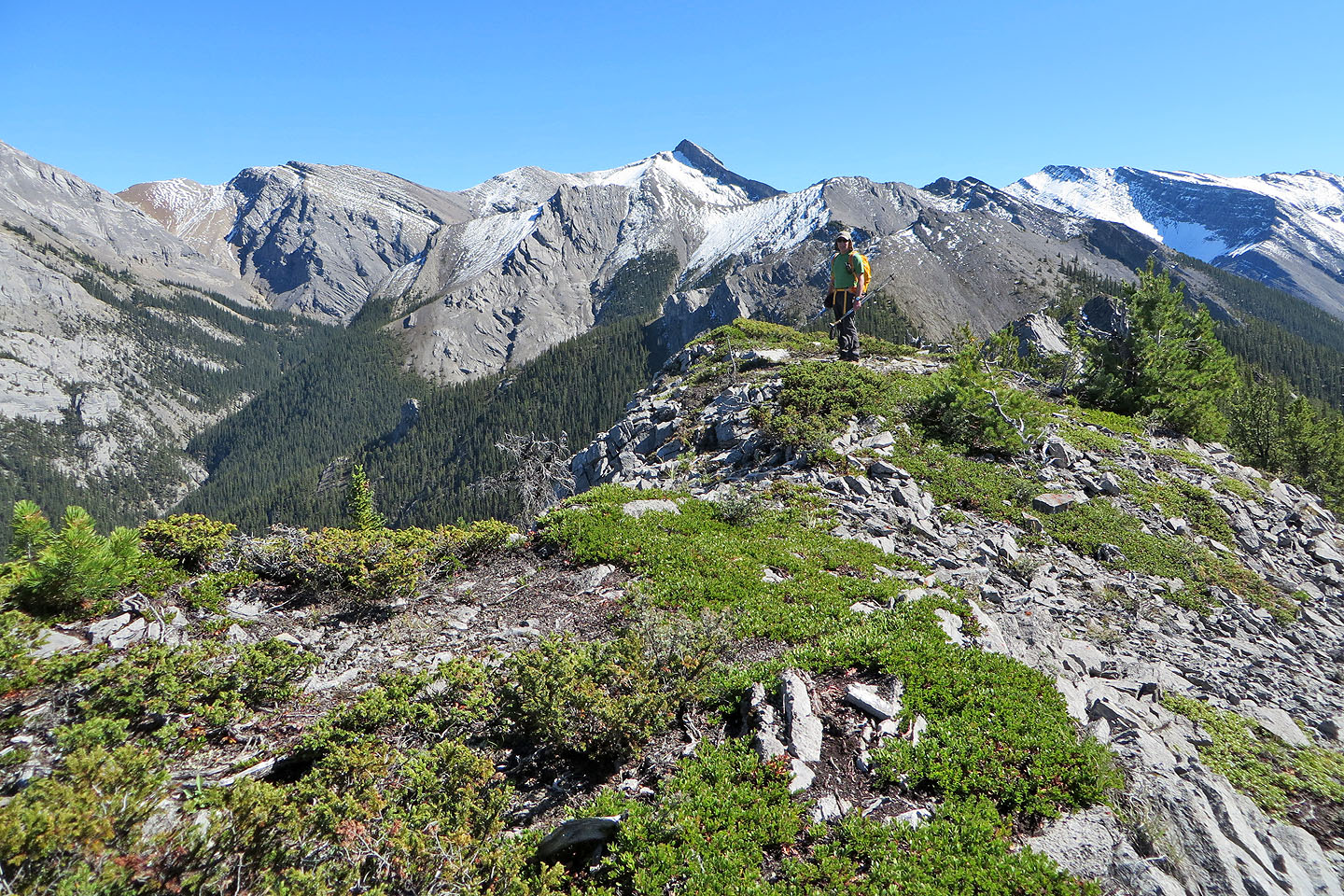
The route ends at a high point at 376466
The ridge extends to Tiara Peak (the pointy peak)
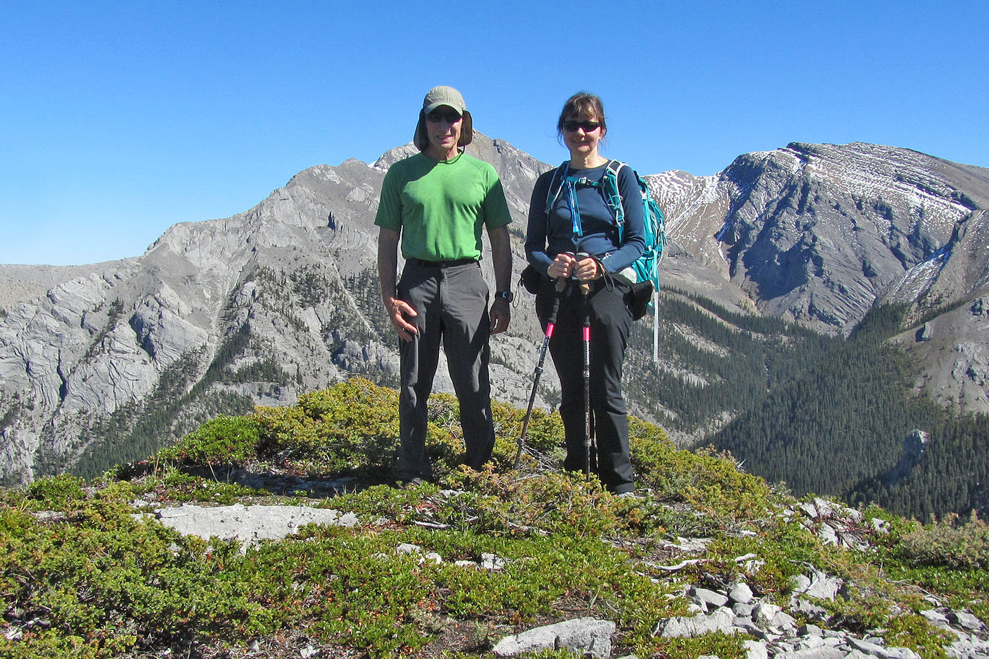
Posing on the "summit"
We made our way back to the pinnacles
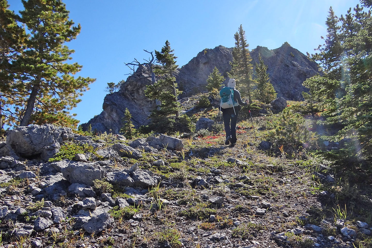
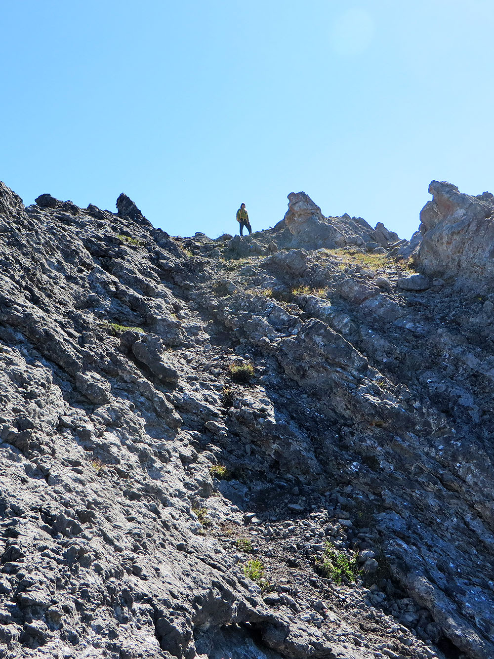
Heading to the col below the rock ridge
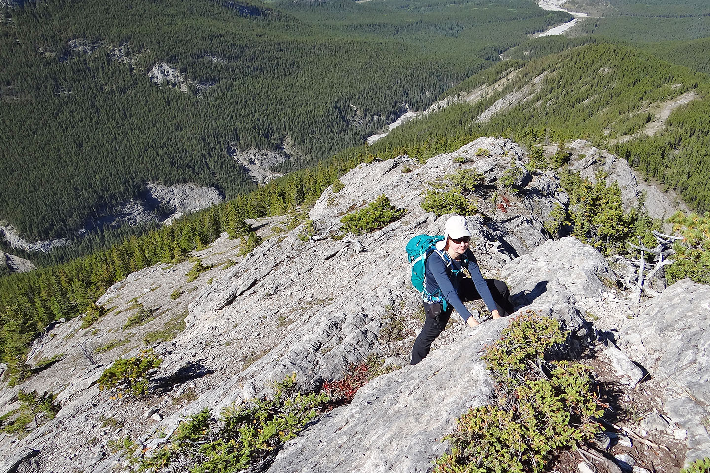
Hiking back up the rock ridge (note the trail)
Back at the other end of the ridge, above the slabs. Instead of taking the groove, we dropped
down the slope on our left.
Coming down the slabs
Below the slabs, a short scramble put us on an easy slope
Coming down the slope. The notch is around the corner on the left.
Crossing the creek at the end of the ridge
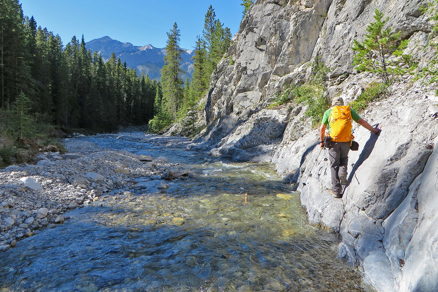
Following the north bank of the creek below the fork
82 J/14 Spray Lakes Reservoir