bobspirko.ca | Home | Canada Trips | US Trips | Hiking | Snowshoeing | MAP | About
Ole Buck Mountain
Kananaskis, Alberta
March 12, 2016
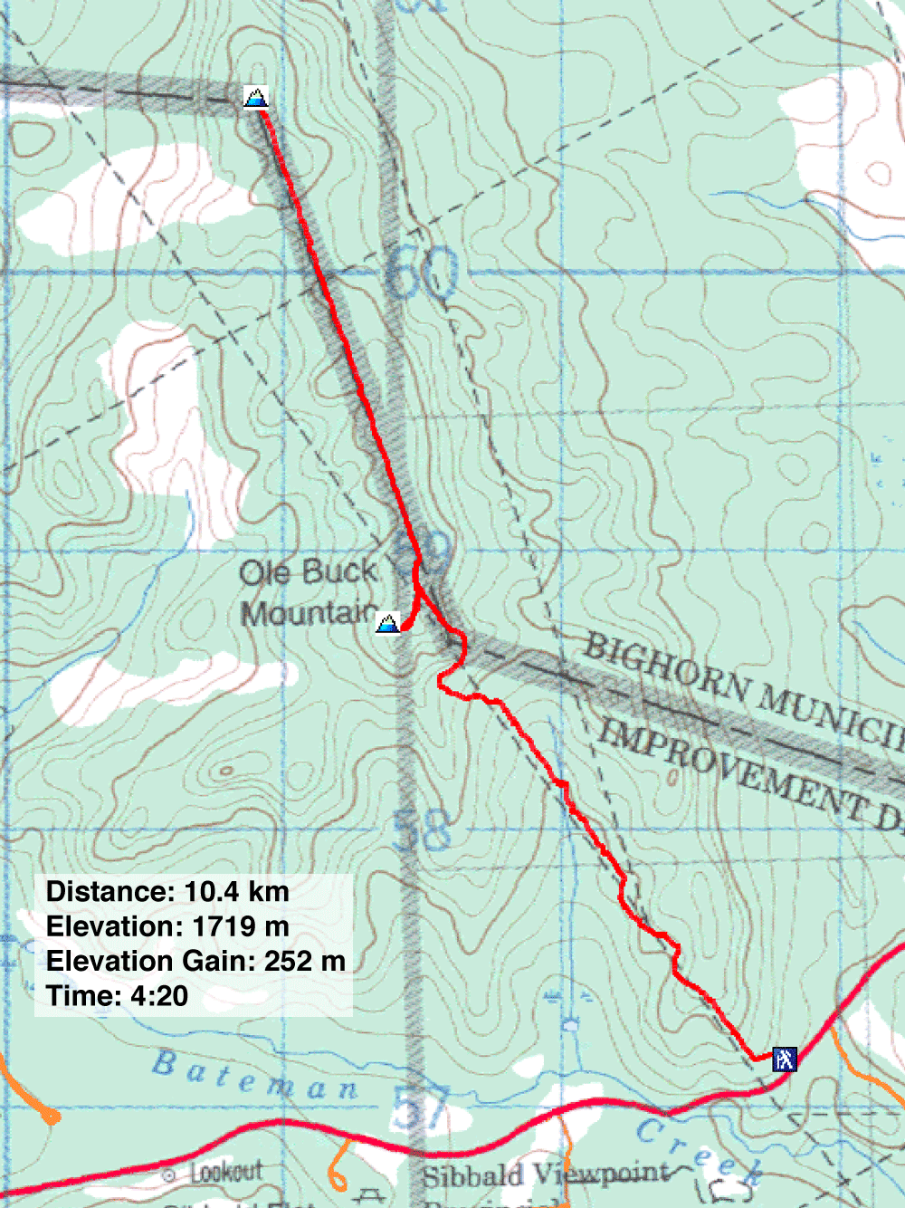
Distance: 10.4 km (6.5 mi)
Cumulative Elevation Gain: 481 m (1578 ft)
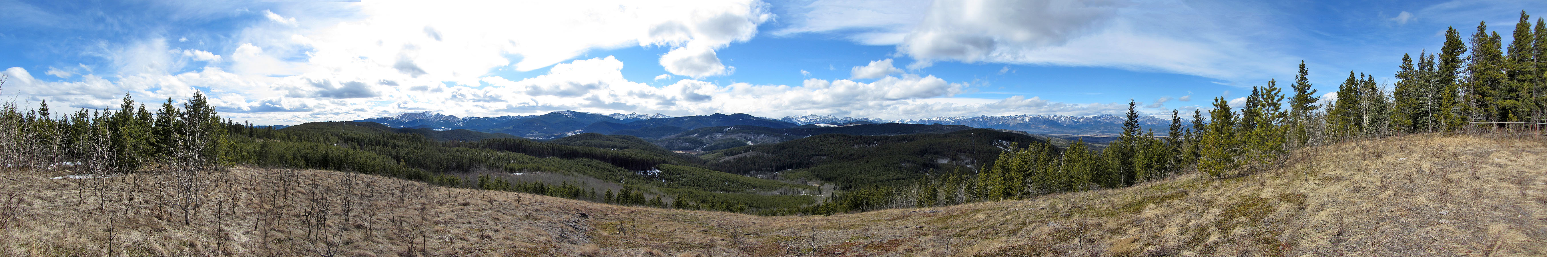
Ole Buck Mountain isn’t likely to be on anyone’s to-do list. The ridge barely rises above its front-range surroundings, and the route is more an adventure in bushwhacking than a walk in the woods. But Dinah and I hadn’t done it, so we would find novelty in it.
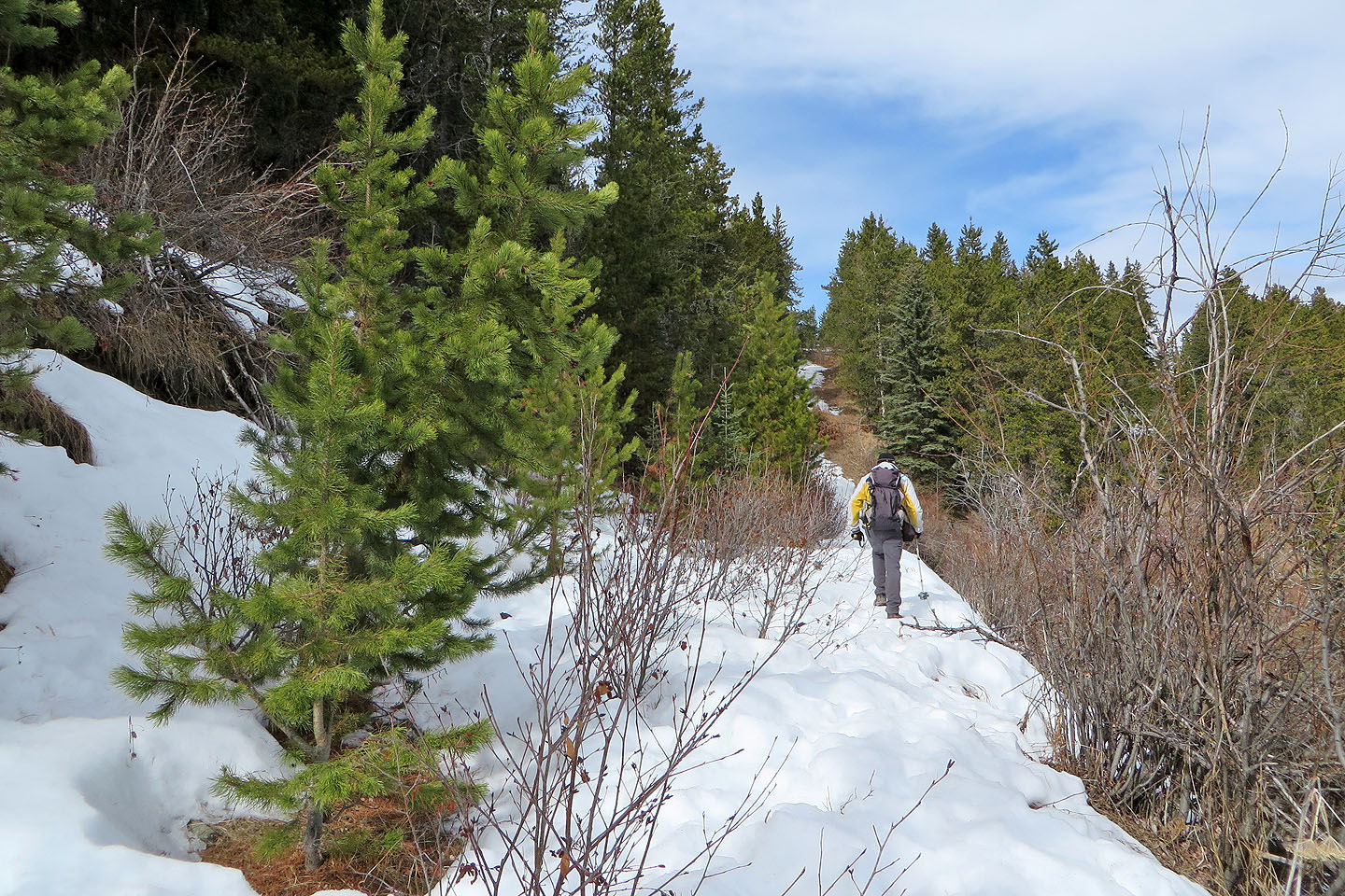
We took the route described in the Kananaskis Country Trail Guide and followed a cutline running north. We were well up that cutline when a thunderous crash broke the silence in the forest. The noise both spooked and baffled us. We were too far from the road to hear a car accident, so we surmised some big ole tree must have fallen nearby. Certainly there was no lack of deadfall around, some of which impeded us.
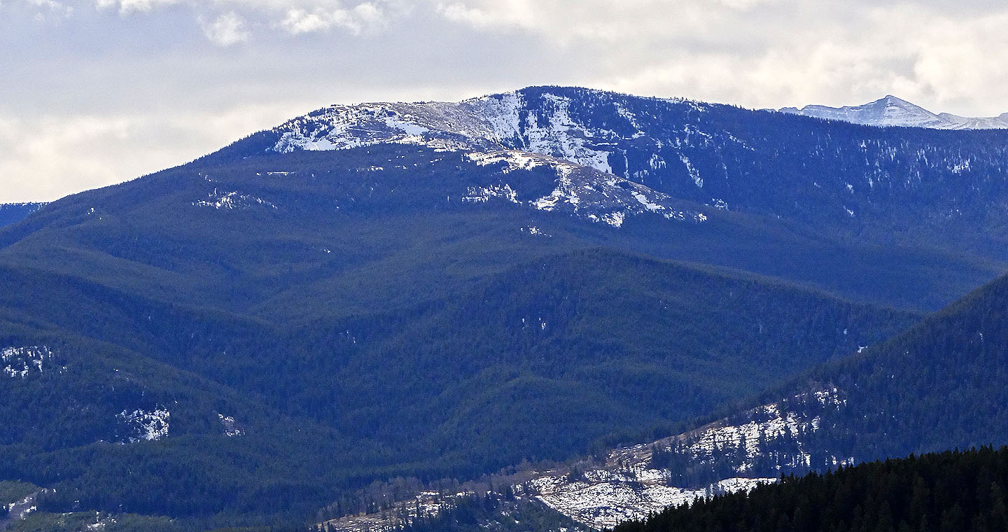
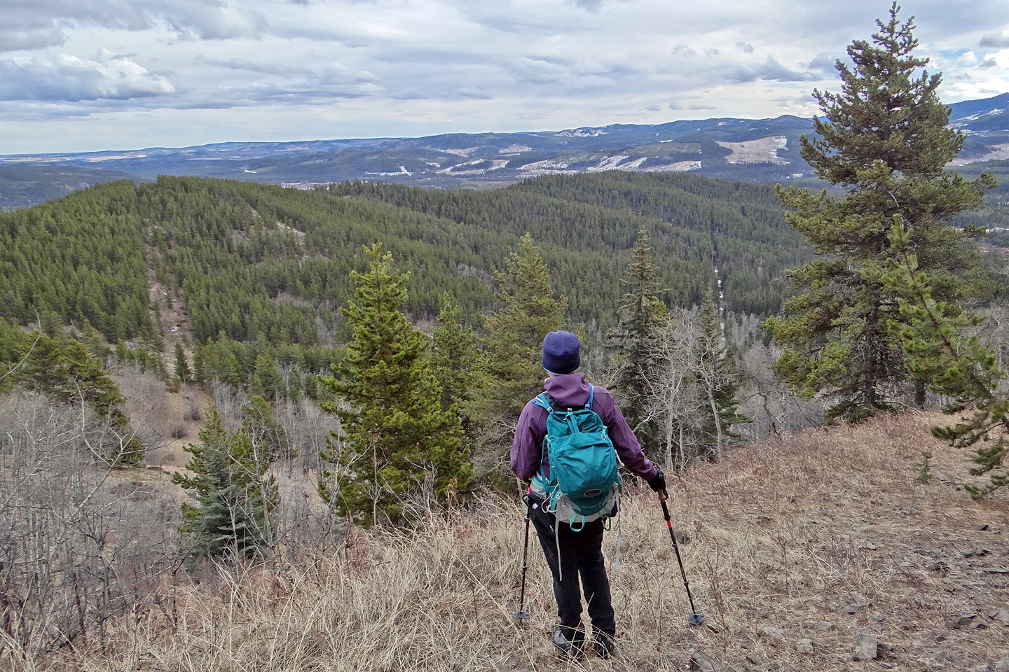
Eventually we hiked up the final winding stretch to the top of Ole Buck. However, we found no views because of a solid tree canopy. For a viewpoint, we continued farther along the cutline to the lower north summit. Along the way, I tripped on some barbwire hidden in the snow and ripped my pants. When we reached the north summit, it was nice to take in views of faraway peaks, but it wasn’t worth tearing a pair of pants.
After hiking back to the south summit, we questioned if the cutline ran over the highest point of Ole Buck. Nowhere did we see a cairn. However, after venturing southwest along the treed ridge, we found slightly higher ground and a small cairn. Satisfied with our summit search, we returned to the cutline and followed it back to our car. Given the declining state of the trail – the deadfall and overgrowth – Ole Buck Mountain is past its prime and past garnering much attention.
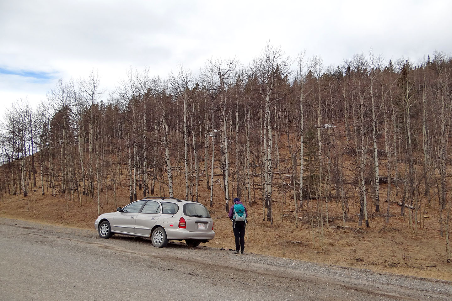
The trailhead isn't obvious from the road
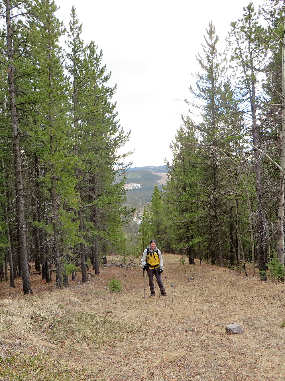
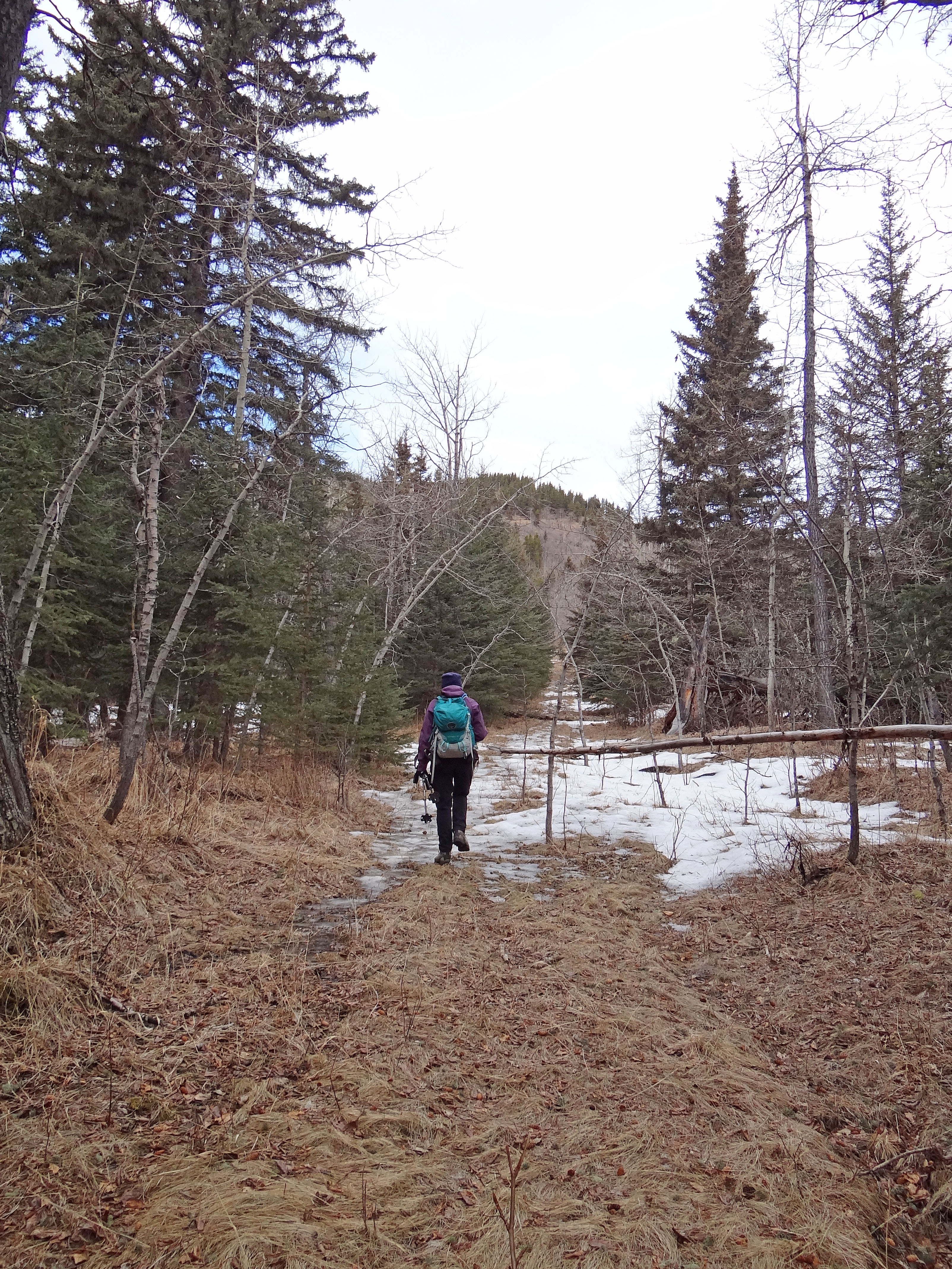
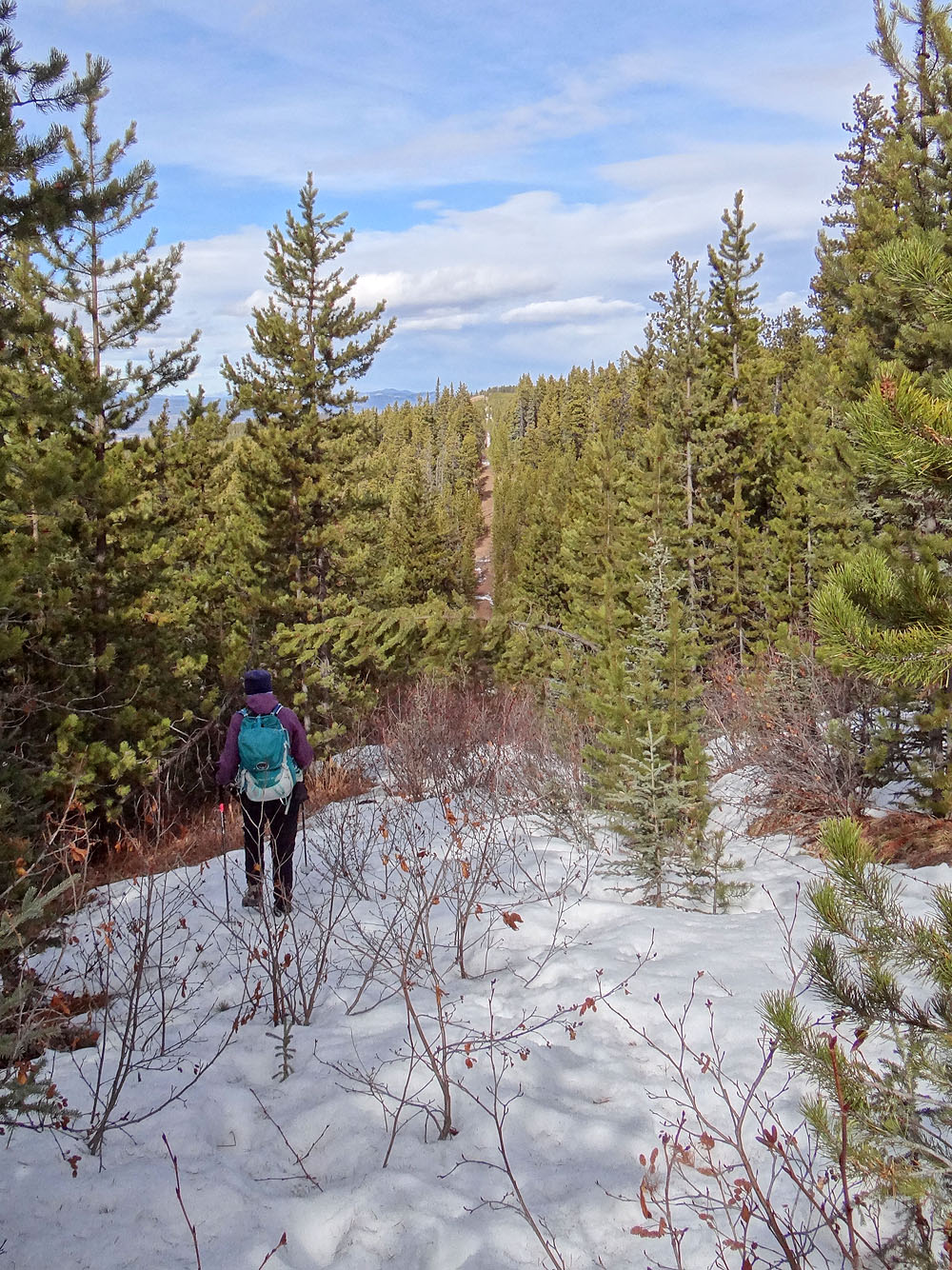
A few minutes into our trip, the cutline became well defined
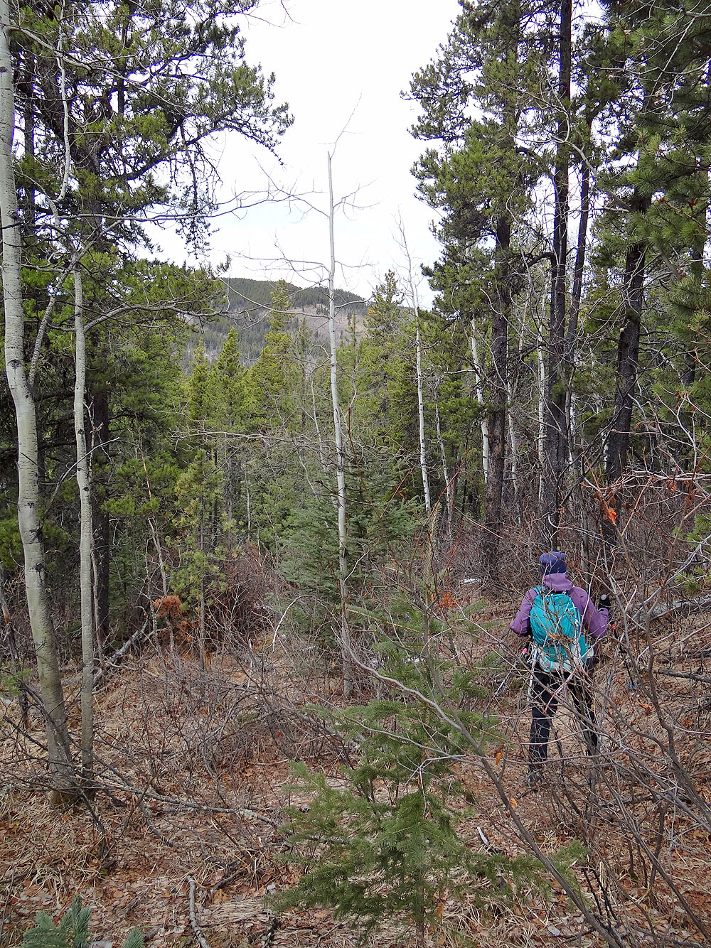
Some parts were overgrown, however
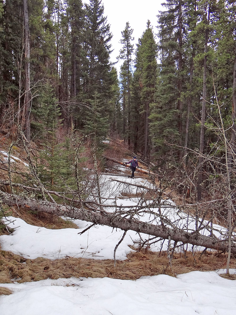
There's a lot of deadfall near the start
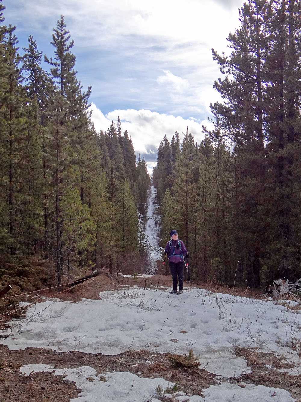
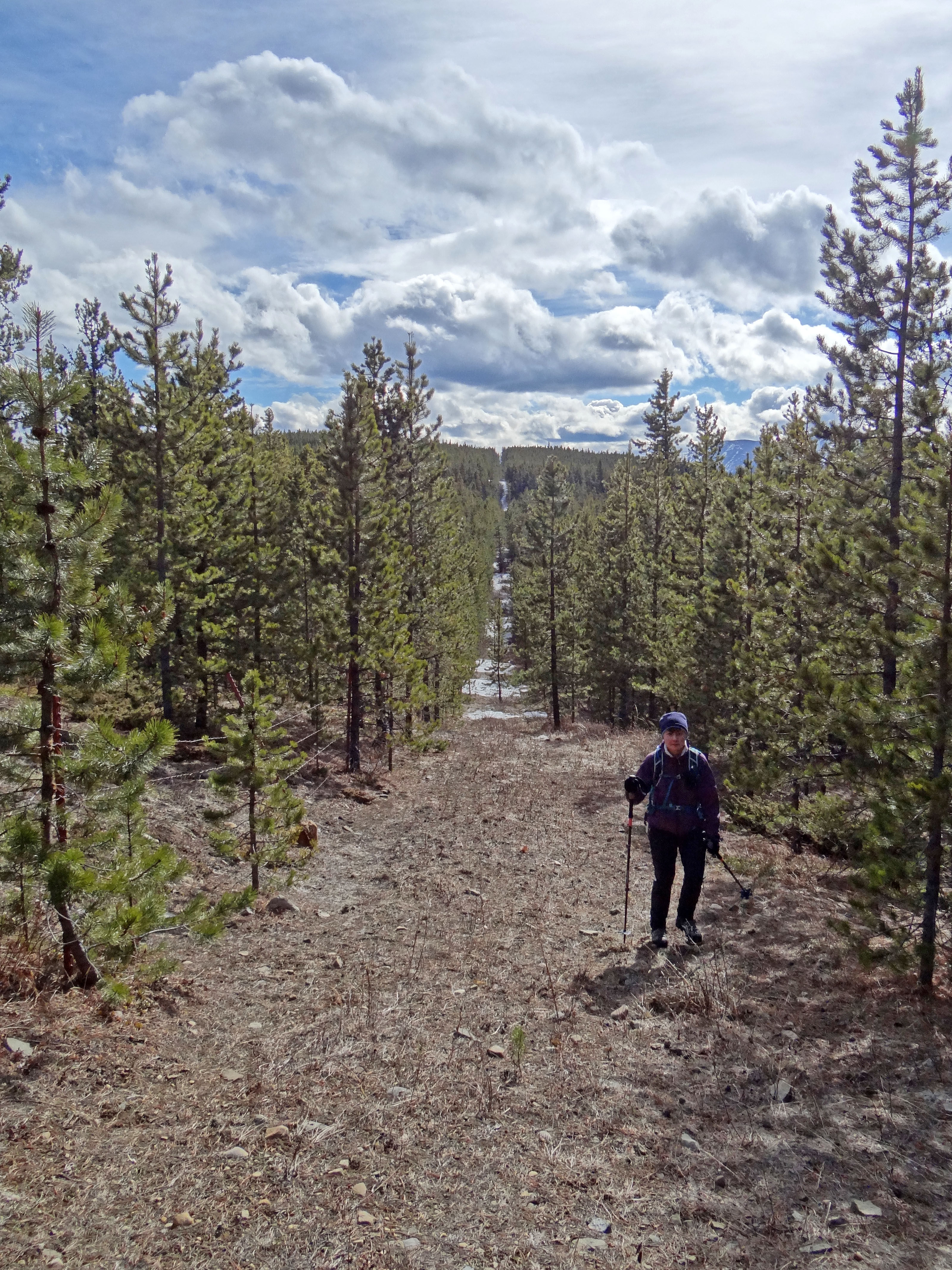
Eventually the summit of Ole Buck came into view
There was still snow on some sections of the cutline
One of a few sections clear of both vegetation and snow
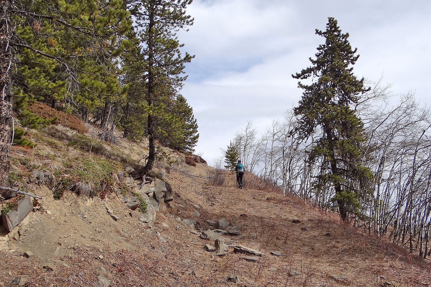
The final stretch to the top of Ole Buck
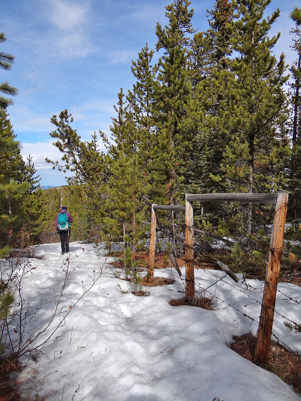
From the south summit to the
north summit, the cutline runs alongside a
barbwire fence
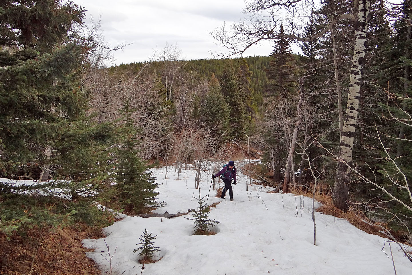
The southern aspects were dry but the northern aspects were under snow
Looking back at one of several drops between the south and north summits
Looking back as we approach the north summit
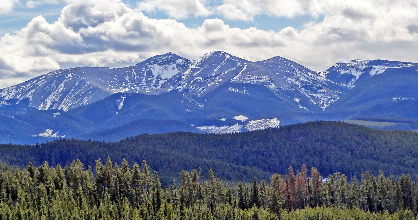
Moose Mountain seen from the north summit
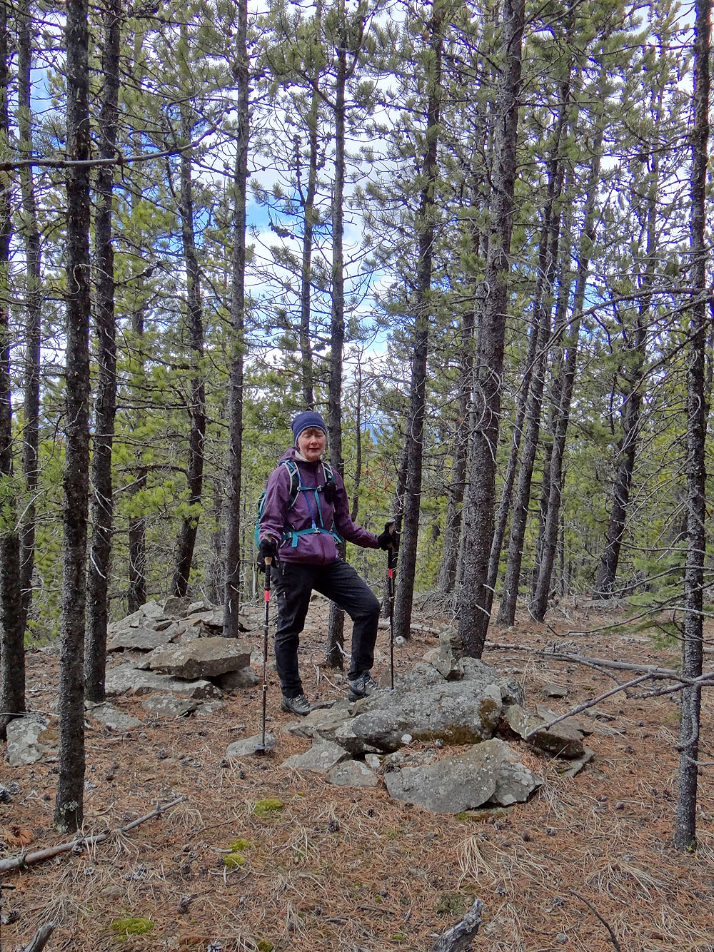
Back at the south summit, Dinah stands next to a cairn
We hiked back along the cutline (right) although the ridgeline didn't look bad
82 O/2 Jumpingpound Creek