bobspirko.ca | Home | Canada Trips | US Trips | Hiking | Snowshoeing | MAP | About
 Panorama from the West Summit
Mount Lipsett Loop
Kananaskis, Alberta
July 7, 2026
Distance: 6.1 km (3.8 mi)
Cumulative Elevation Gain: 783 m (2569 ft)
Mount Lipsett offers some of the finest scenery in Kananaskis – if you do a loop that includes both summits. The hike is engaging throughout, from the short bushwhacking to the long, open ridges and panoramic summits.
Kananaskis Country Trail Guide suggests traversing Mount Lipsett. Take the usual route up the trail to the top, the East Summit, then continue off-trail to the lower West Summit. Then follow the south ridge down to a trail in the forest going to the highway where you’ll have left a second vehicle. But we planned a short, clockwise loop that doesn’t require a second vehicle. Start up the trail between two creeks. The trail ascends the forest, turns left to cross the west creek and reaches the open south ridge. Follow the ridge to the West Summit, cross the saddle to the East Summit and take a different ridge down to the trail.
Brian, Harry, Bob and I parked by the west creek and looked for the trail between the creeks. But after searching and backtracking, we didn’t find a trail. We got lucky only after we crossed the west creek. On the other side, we climbed a small, steep meadow where we found a trail at the edge of the forest.
We followed the trail for a while, and then left it to ascend another meadow. A brief bushwhack led to the beginning of the open ridge. Studded with pinnacles and outcrops, it was a fascinating and scenic ascent. After a long climb, and after going over a few false summits, we reached the West Summit. As the guidebook points out, it has better views than the East Summit.
Then we turned our attention to the attractive saddle below and the East Summit rising 140 metres above it. We descended nearly 120 metres and climbed the higher summit. After relaxing on top, we walked down the trail to the start of the descent ridge. The descent ridge lacks the interesting outcrops that line the ascent ridge, but the terrain is varied and includes a short scramble. As we descended, the ridge steepened, and loose rock covered the final open section. After we entered the forest, we split up. Harry and I bushwhacked to the highway and walked 150 metres to our car. Brian and Bob continued to our ascent route between the creeks. We arrived back at the car at the same time.
Since there’s no trail between the creeks, it’s best to go up the left side of the west creek directly to the meadow where the trail begins. I returned a few days later and did exactly that. I also improved the descent track on the lower slope. I spliced the new sections into my track to create shorter and simpler routes on the lower slope. In short, keep left of the west creek going up and left the east creek going down. Avoid crossing the creeks as they have steep banks.
If you don’t mind bushwhacking 400 or 500 m in and out, you’ll be rewarded with splendid scenery on two open ridges, two summits, and the deep saddle between them.
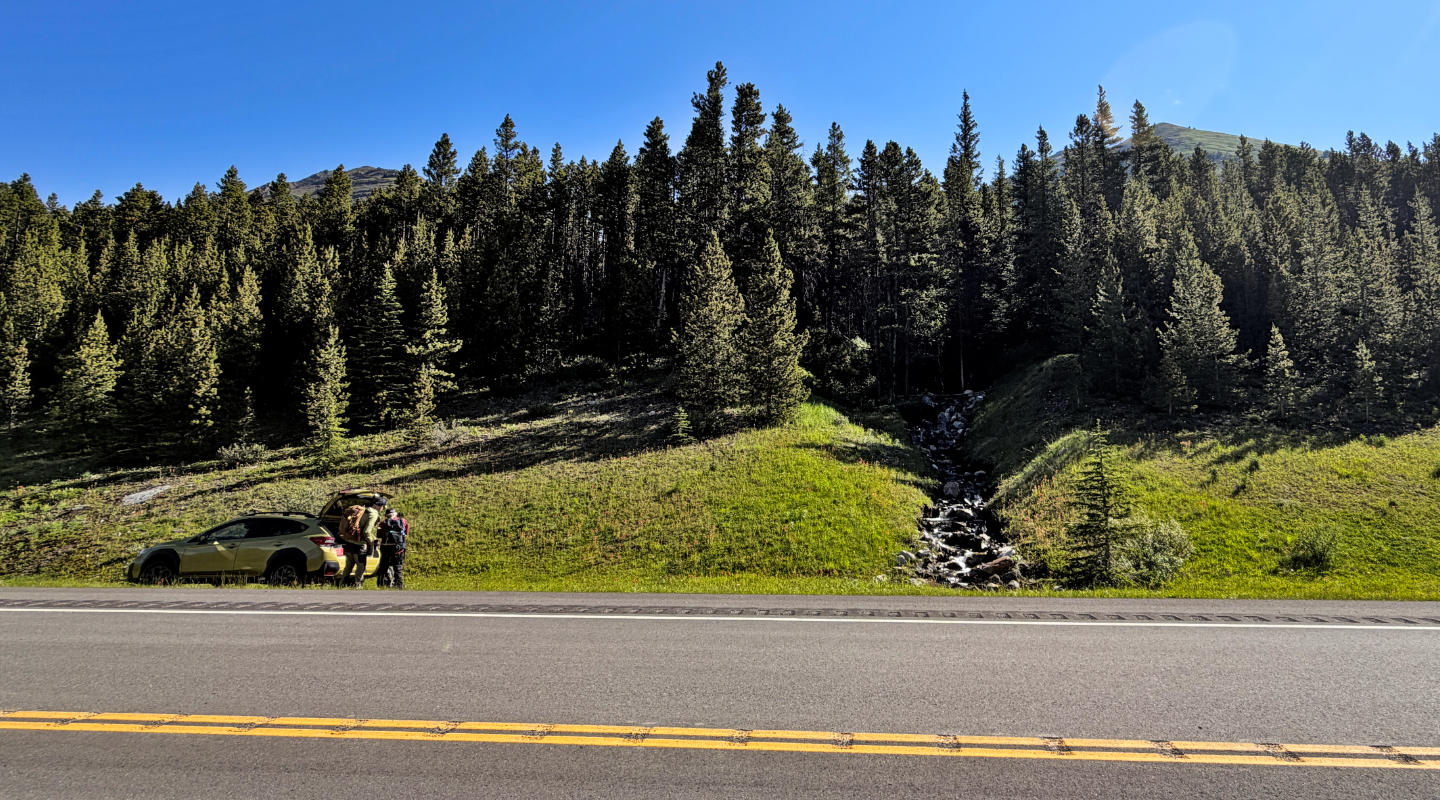 We parked by the west creek. The ascent and
descent ridges appear above the treetops.
We parked by the west creek. The ascent and
descent ridges appear above the treetops.
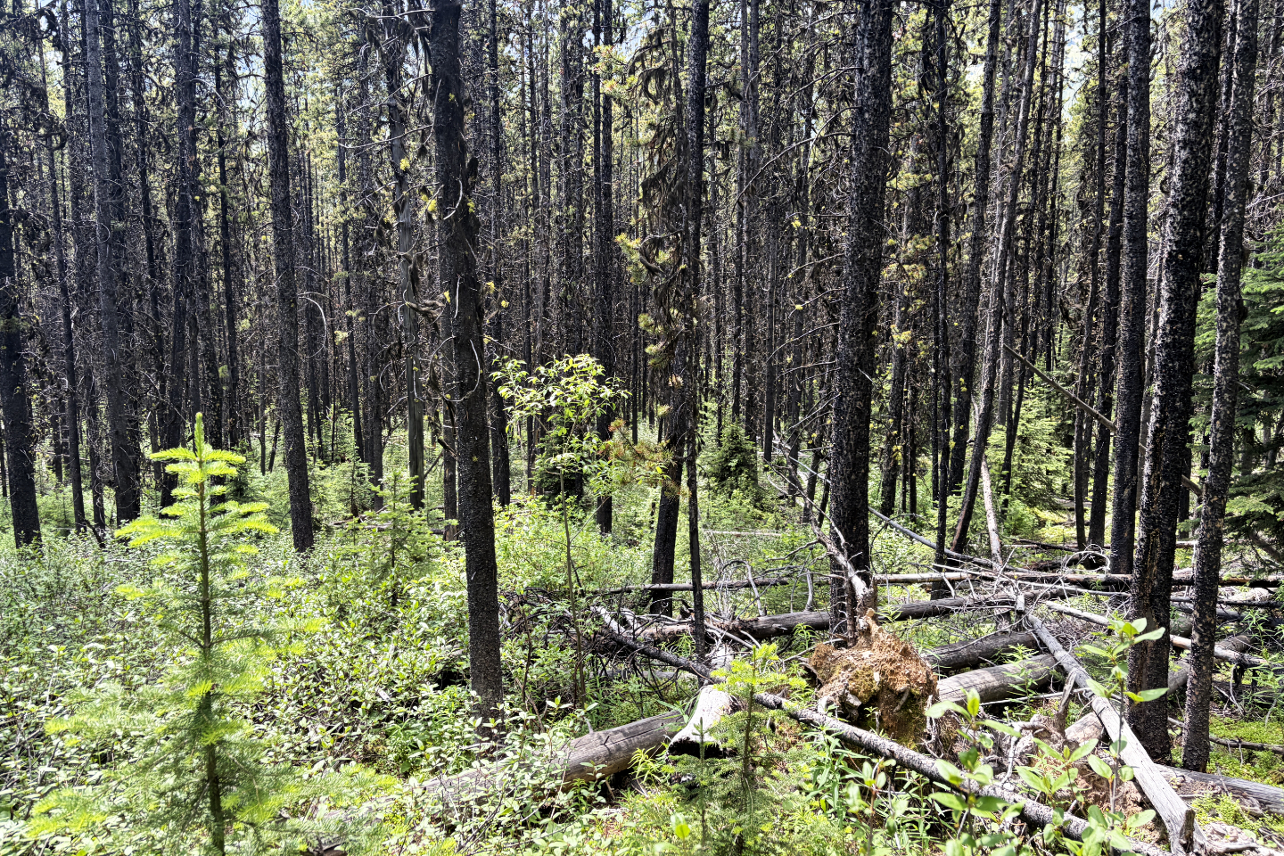 Bushes and deadfall hindered the first couple
of hundred metres
Bushes and deadfall hindered the first couple
of hundred metres
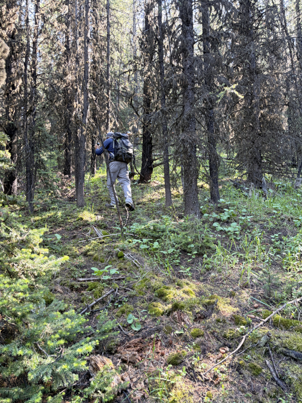
We followed a vague trail for a time, but soon backtracked and dropped down to the creek
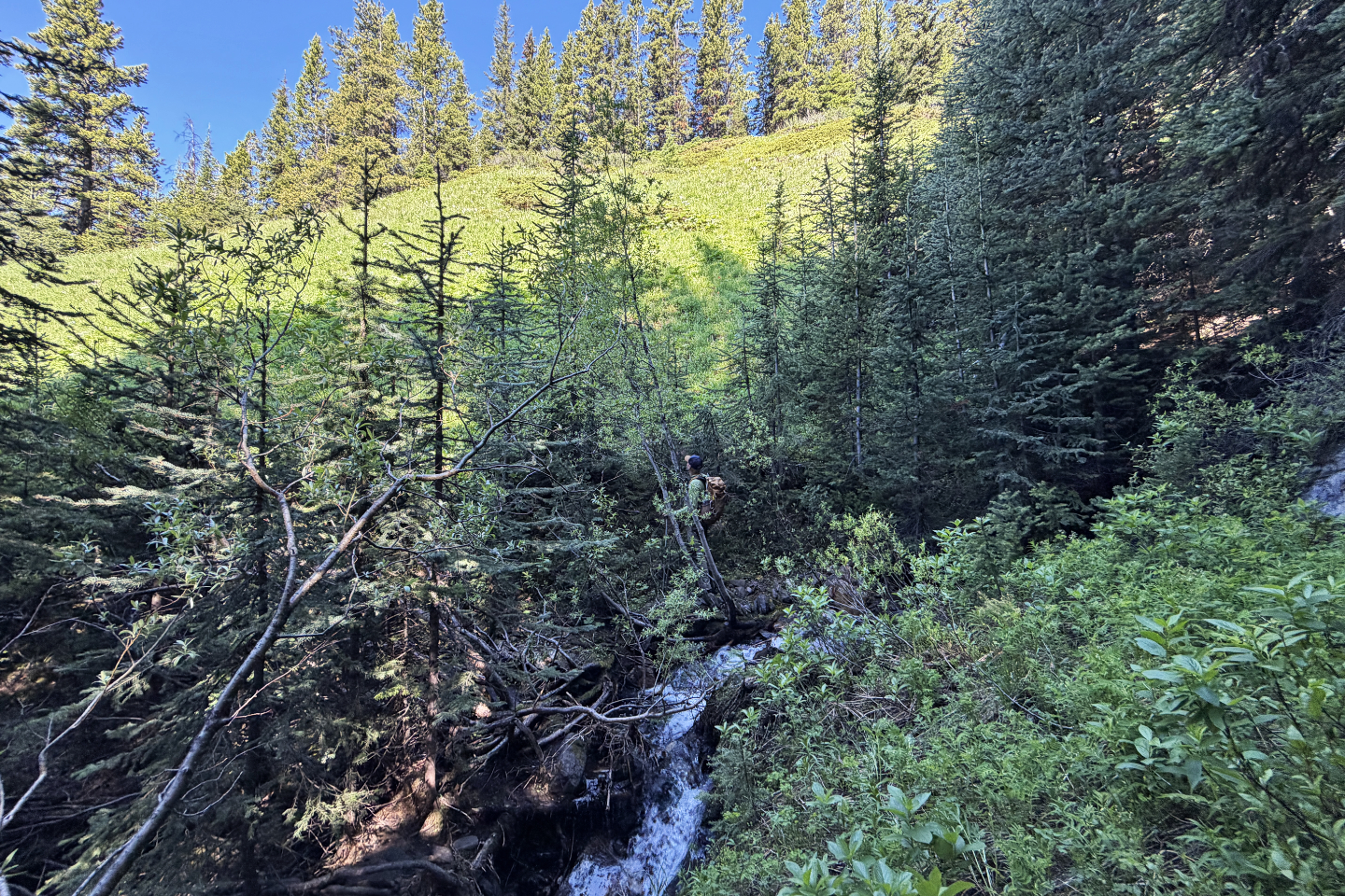 After crossing the creek, Brian looks at the
steep meadow we'll climb
After crossing the creek, Brian looks at the
steep meadow we'll climb
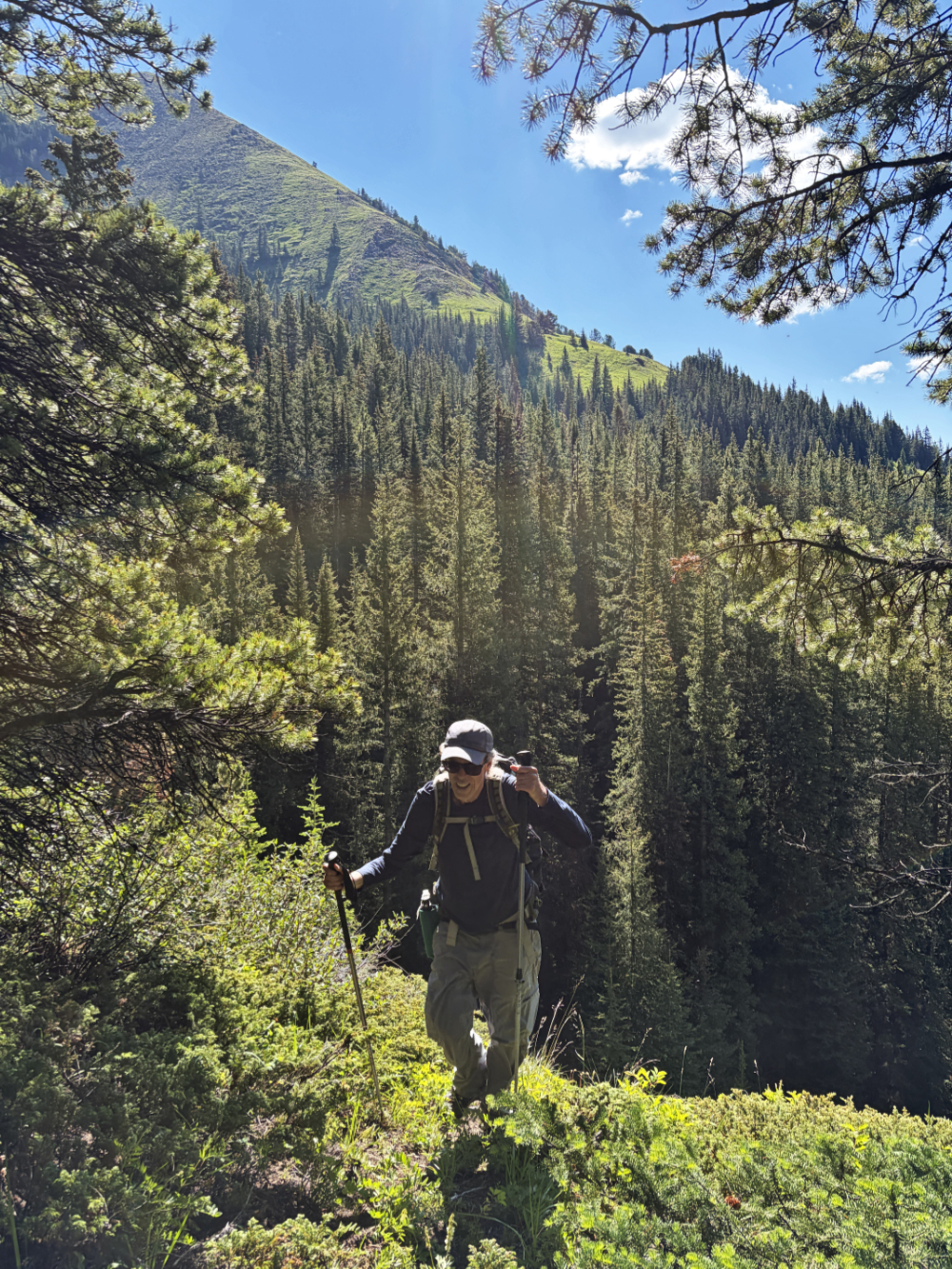
Harry reaches the top of the meadow where we found a trail. Behind is the descent ridge.
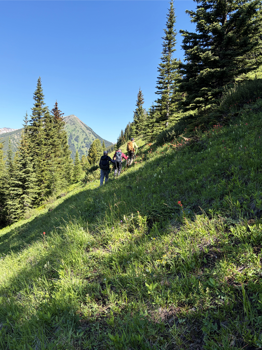
We followed the trail to the open slope ahead and hiked up it
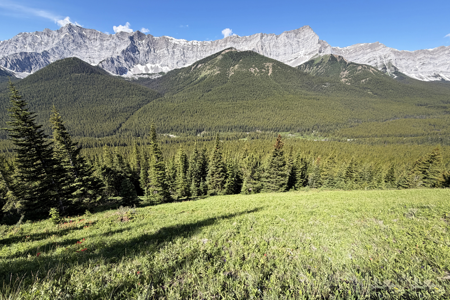 Looking back from the meadow at Storelk
Mountain on the right. Below it is
Storelk East Ridge.
Looking back from the meadow at Storelk
Mountain on the right. Below it is
Storelk East Ridge.
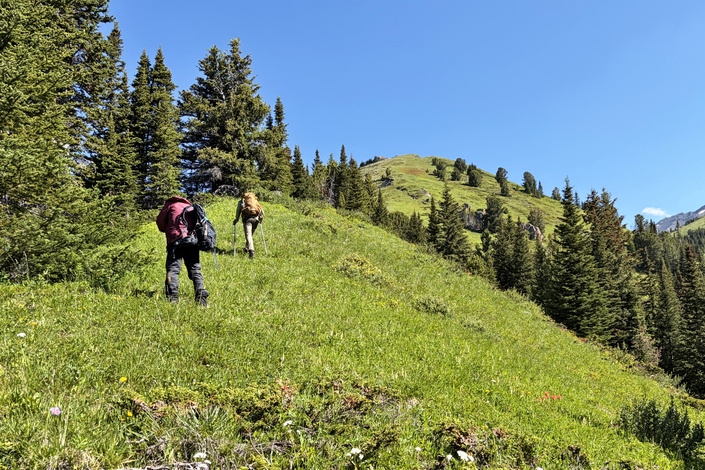 A short bushwhack brought us to the start of
the open ridge
A short bushwhack brought us to the start of
the open ridge
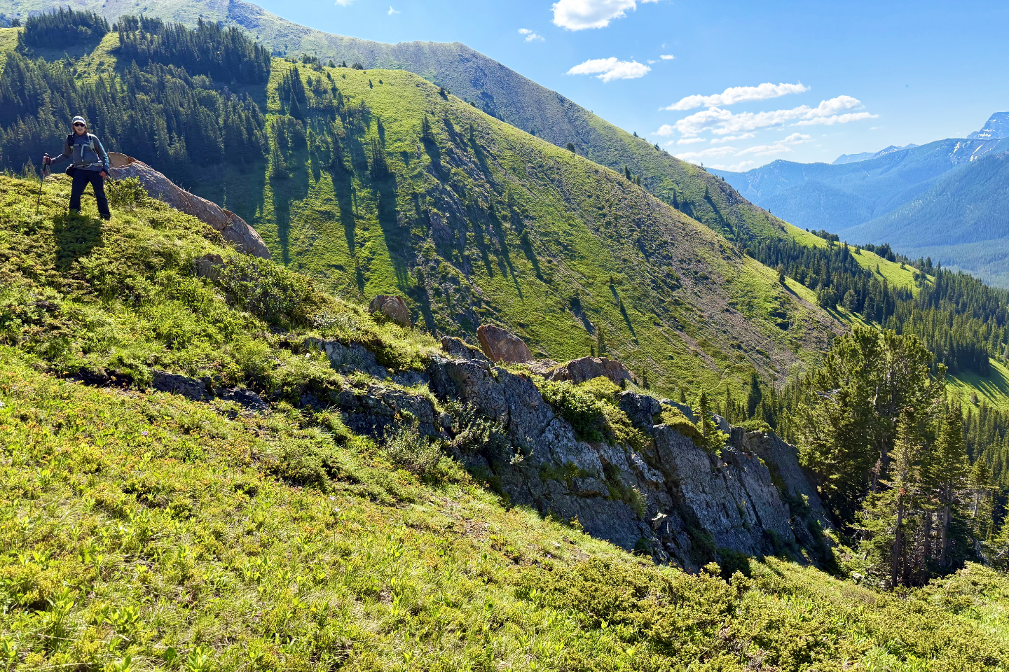 Passing rocks on the ridge
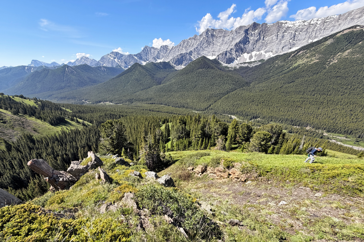 Looking back
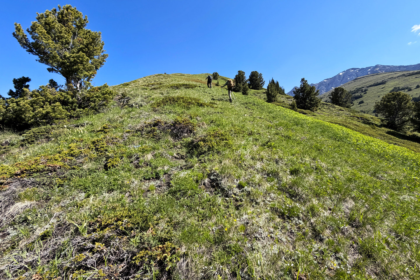 Continuing up the ridge
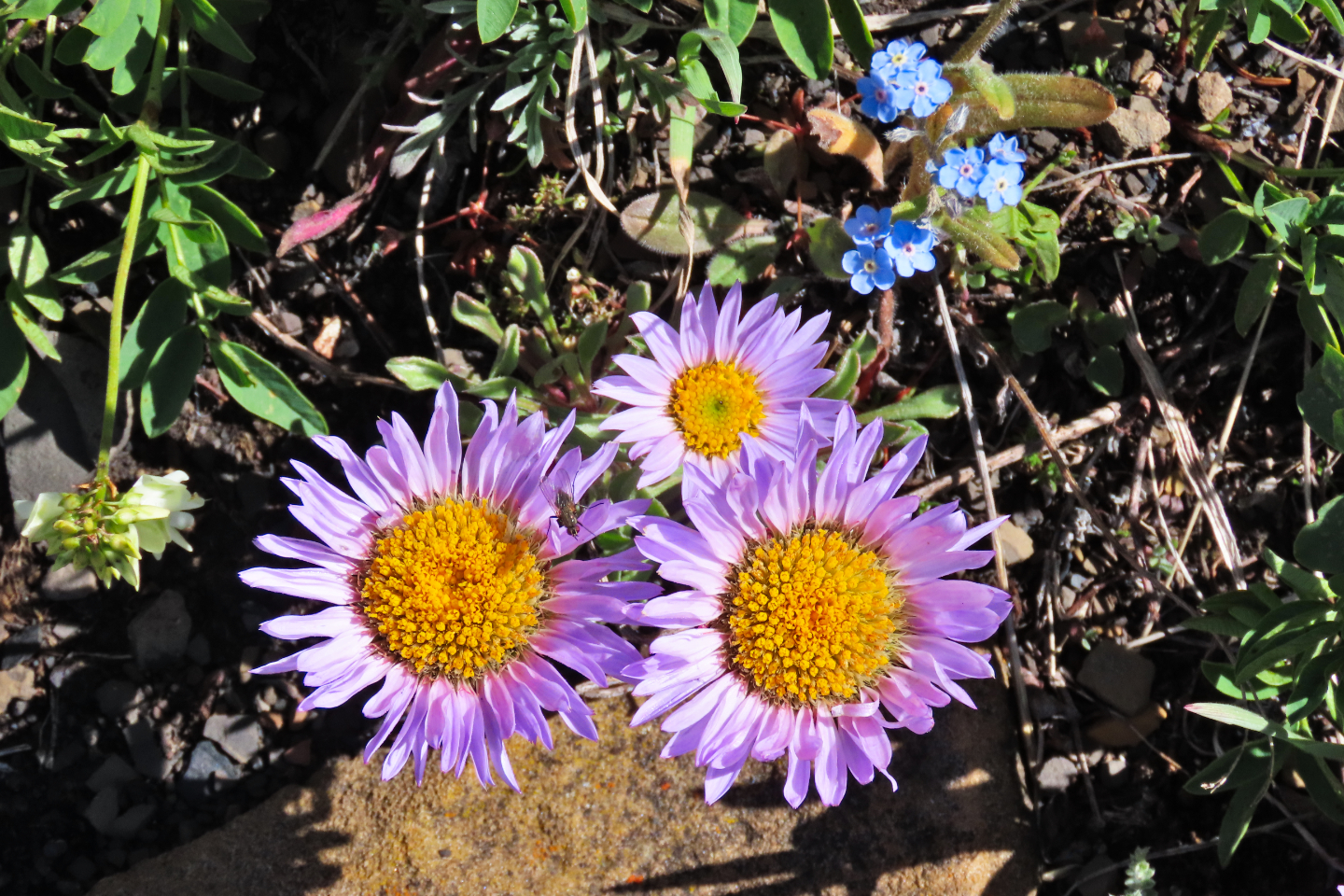 Purple aster and forgetmenot wildflowers
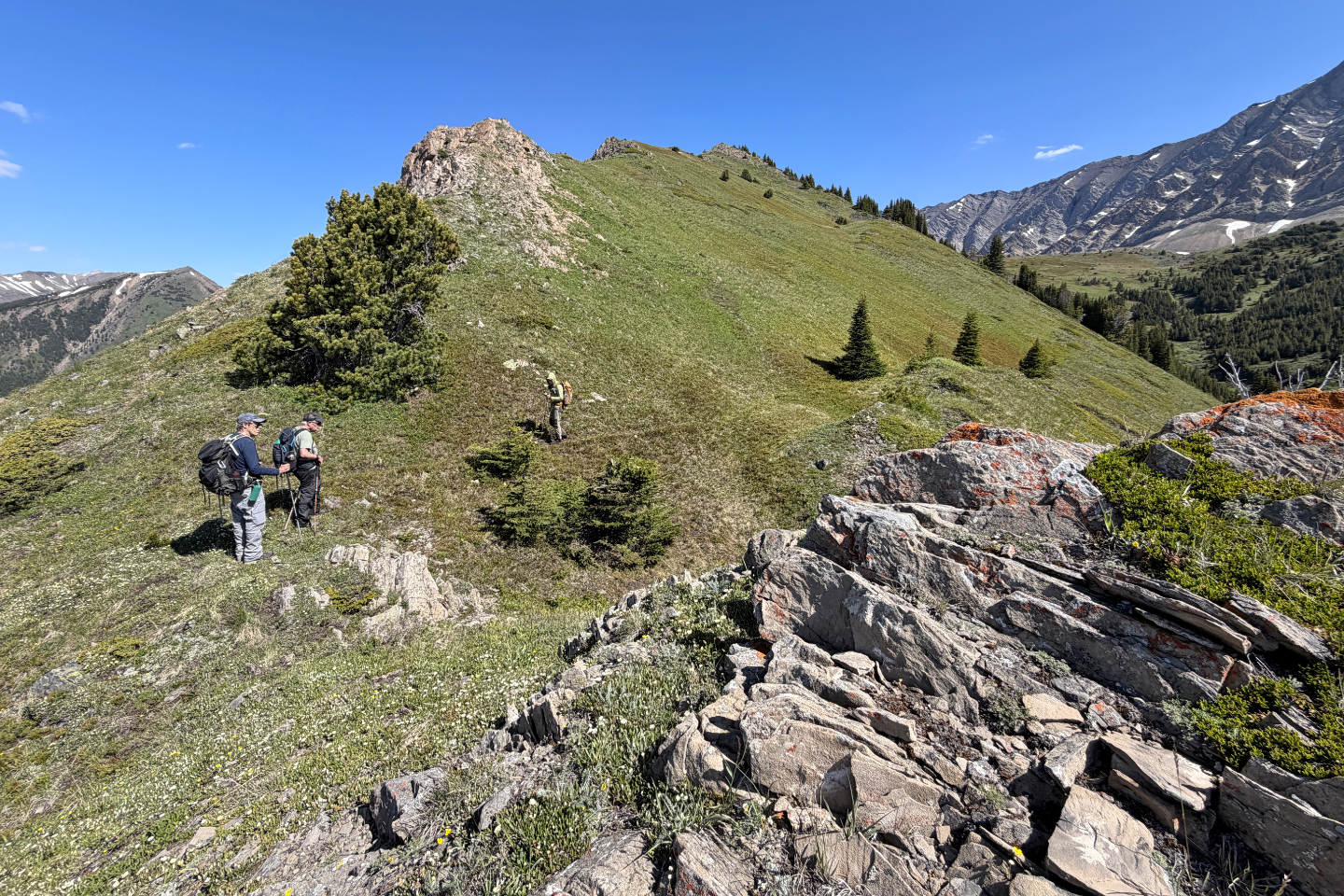 Outcrops started appearing on the ridge
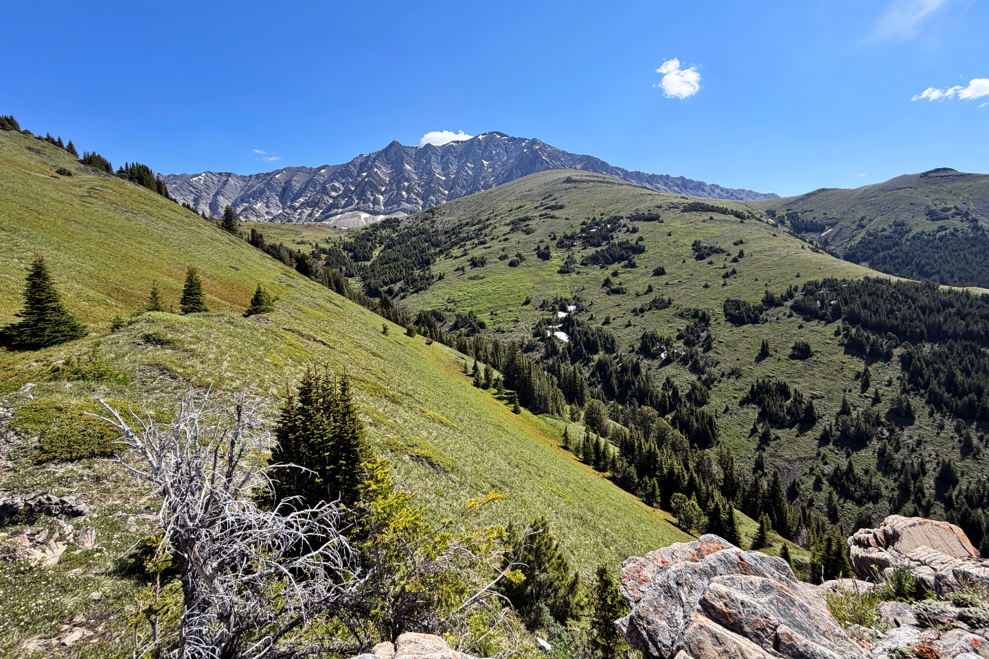 In the center are Mist mountain and the East
Summit. Far right is the descent ridge.
In the center are Mist mountain and the East
Summit. Far right is the descent ridge.
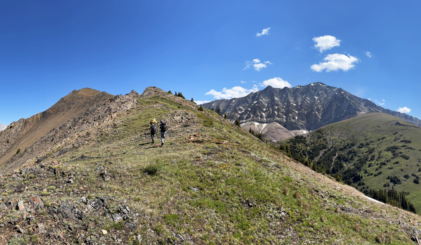 The brown point ahead is the first of a few
false summits
The brown point ahead is the first of a few
false summits
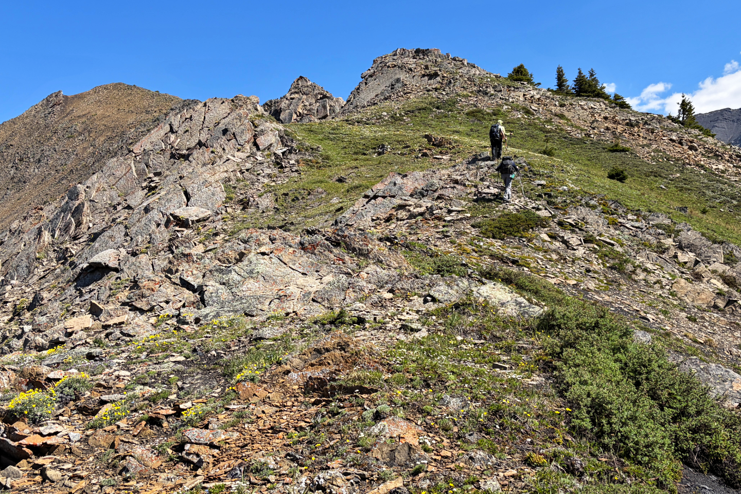 Brian and Harry went left of the outcrop
ahead, while Bob and I went right
Brian and Harry went left of the outcrop
ahead, while Bob and I went right
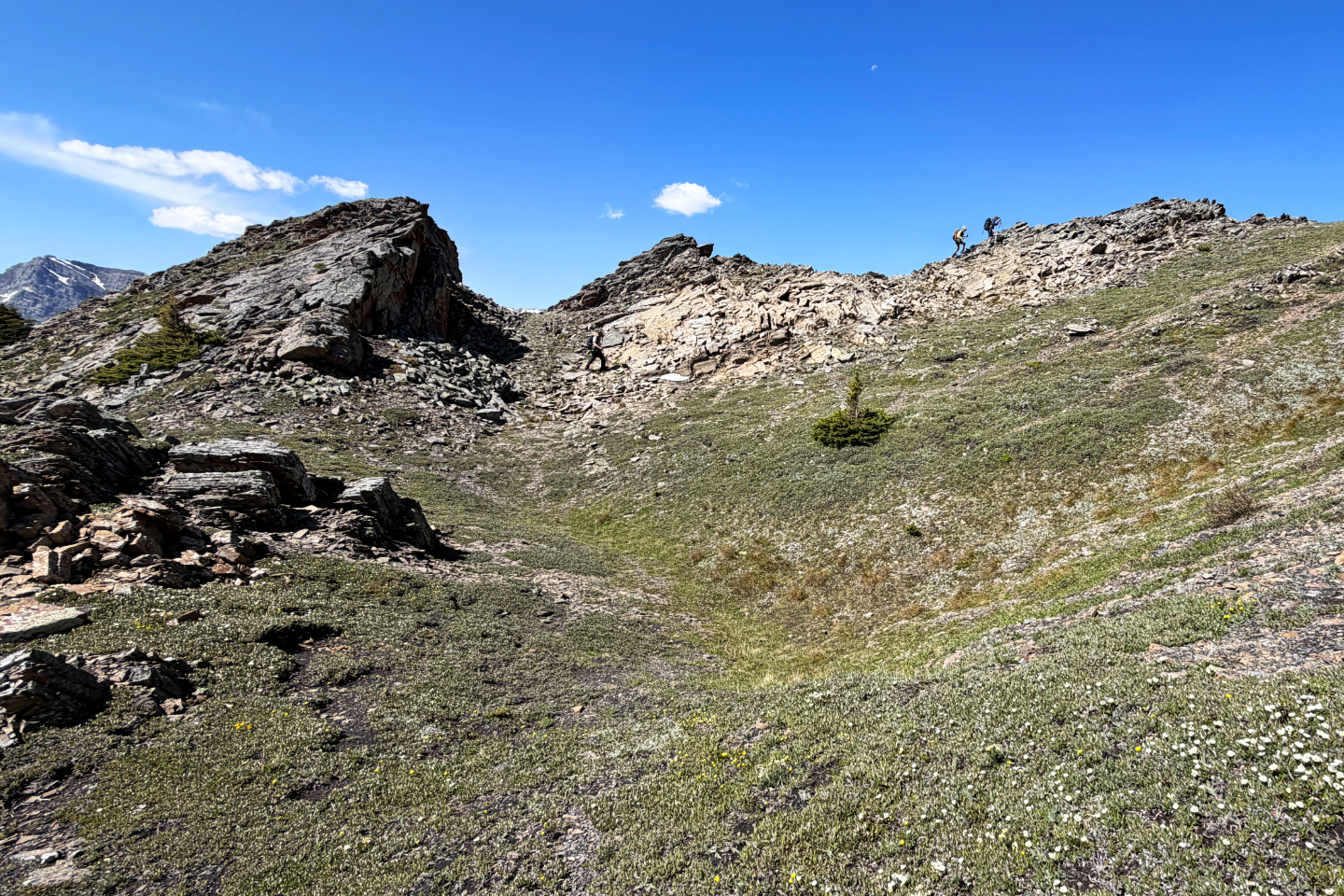 Looking across a bowl at the others. We soon
converged on the ridge.
Looking across a bowl at the others. We soon
converged on the ridge.
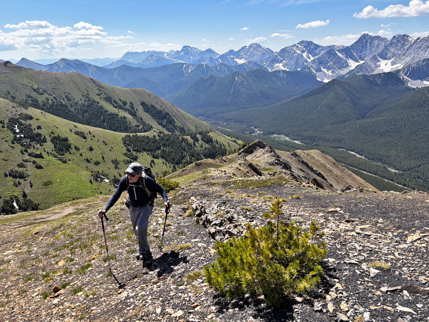 Looking back. The higher ridge on the left is
the descent ridge.
Looking back. The higher ridge on the left is
the descent ridge.
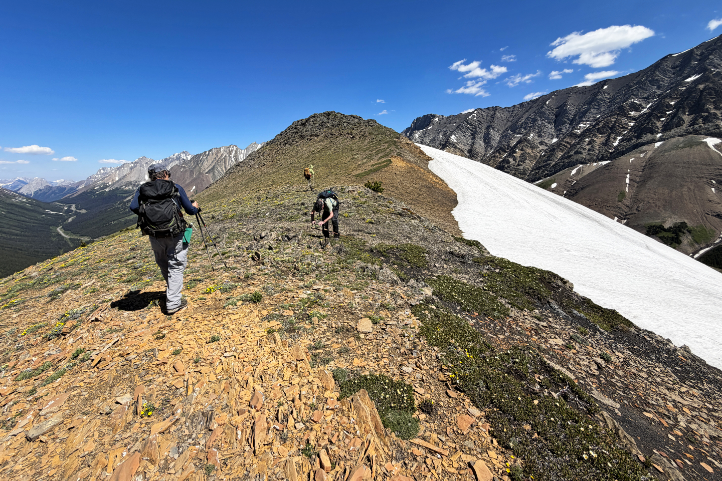 Heading to another false summit
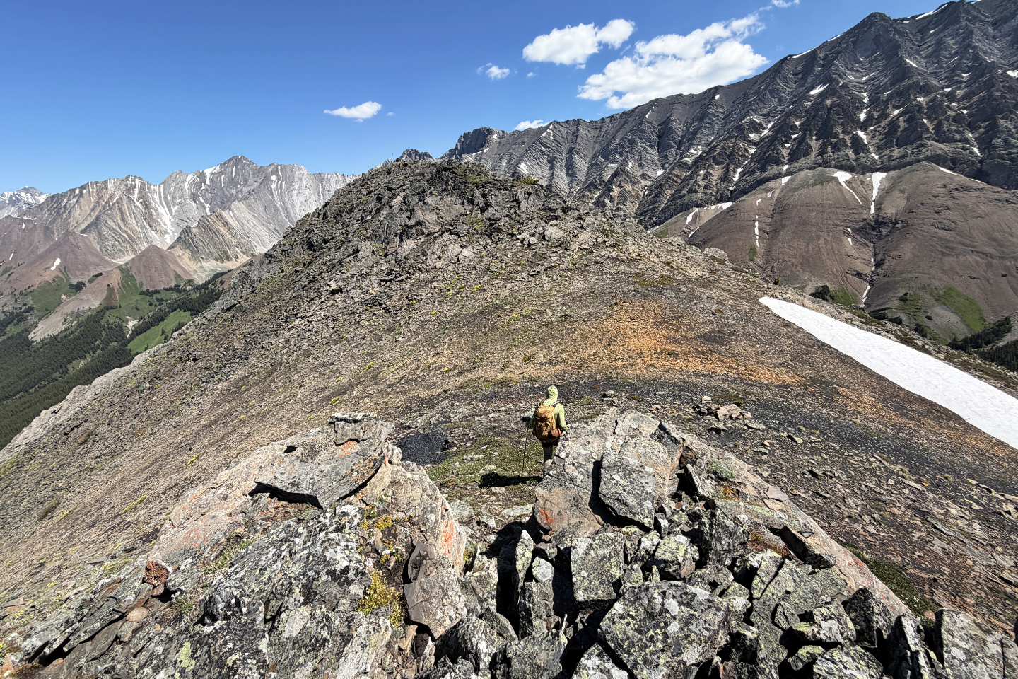 A pole marks the West Summit
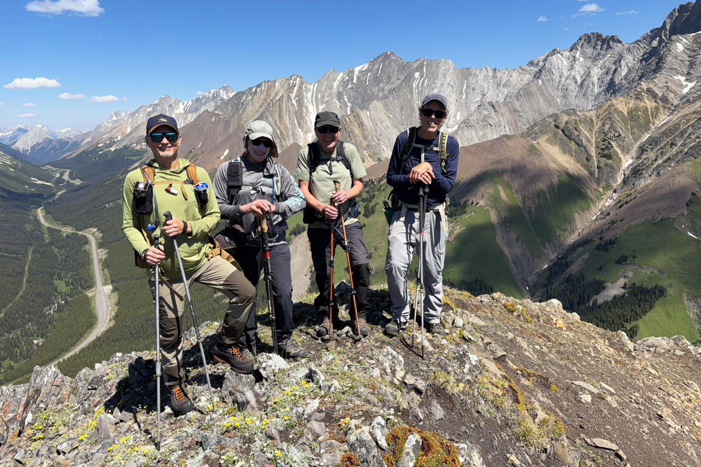 Brian Couronne, me, Bob Crawford and Harry
Raymaakers on the West Summit
Brian Couronne, me, Bob Crawford and Harry
Raymaakers on the West Summit
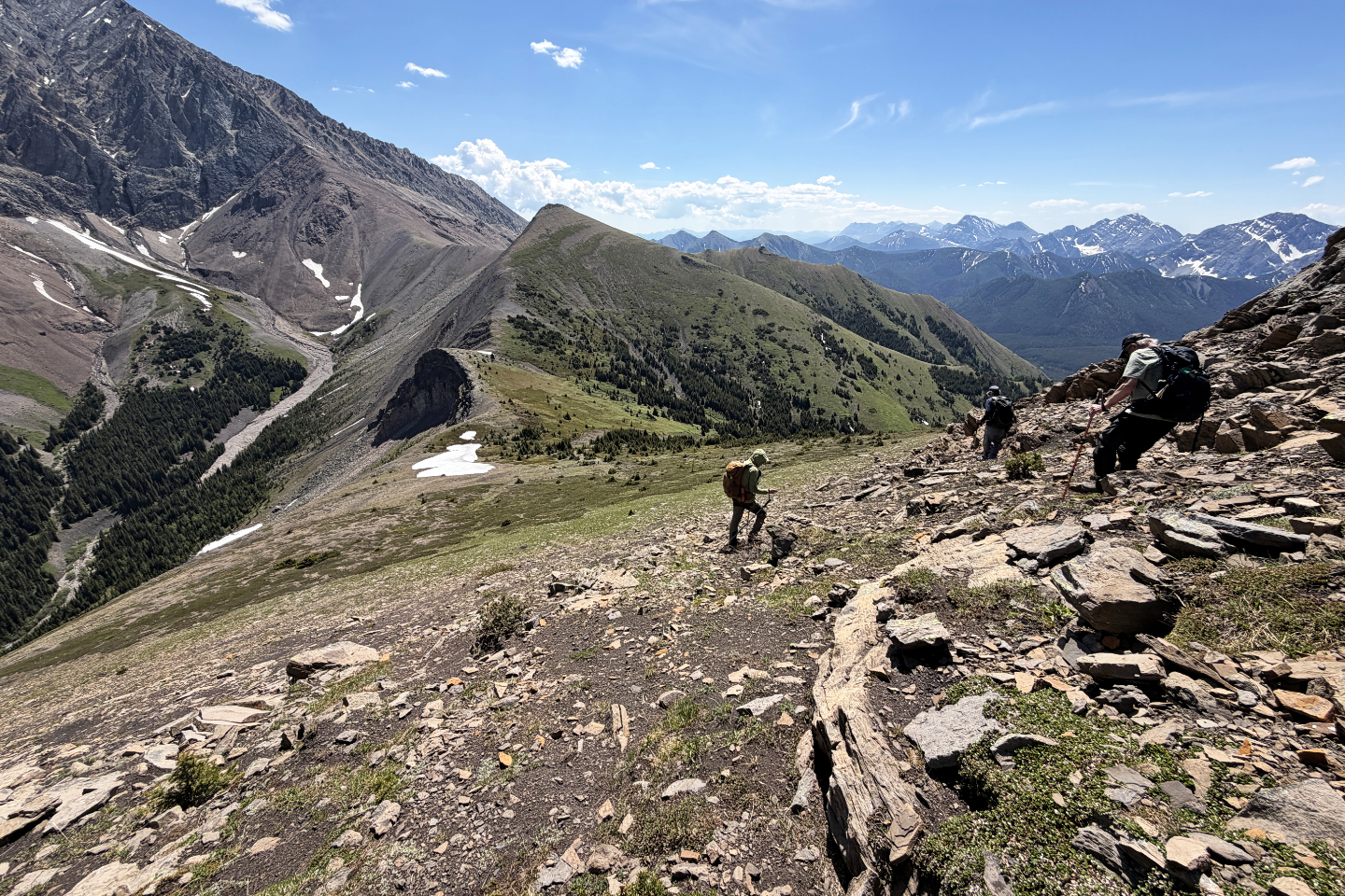 Heading to the East Summit
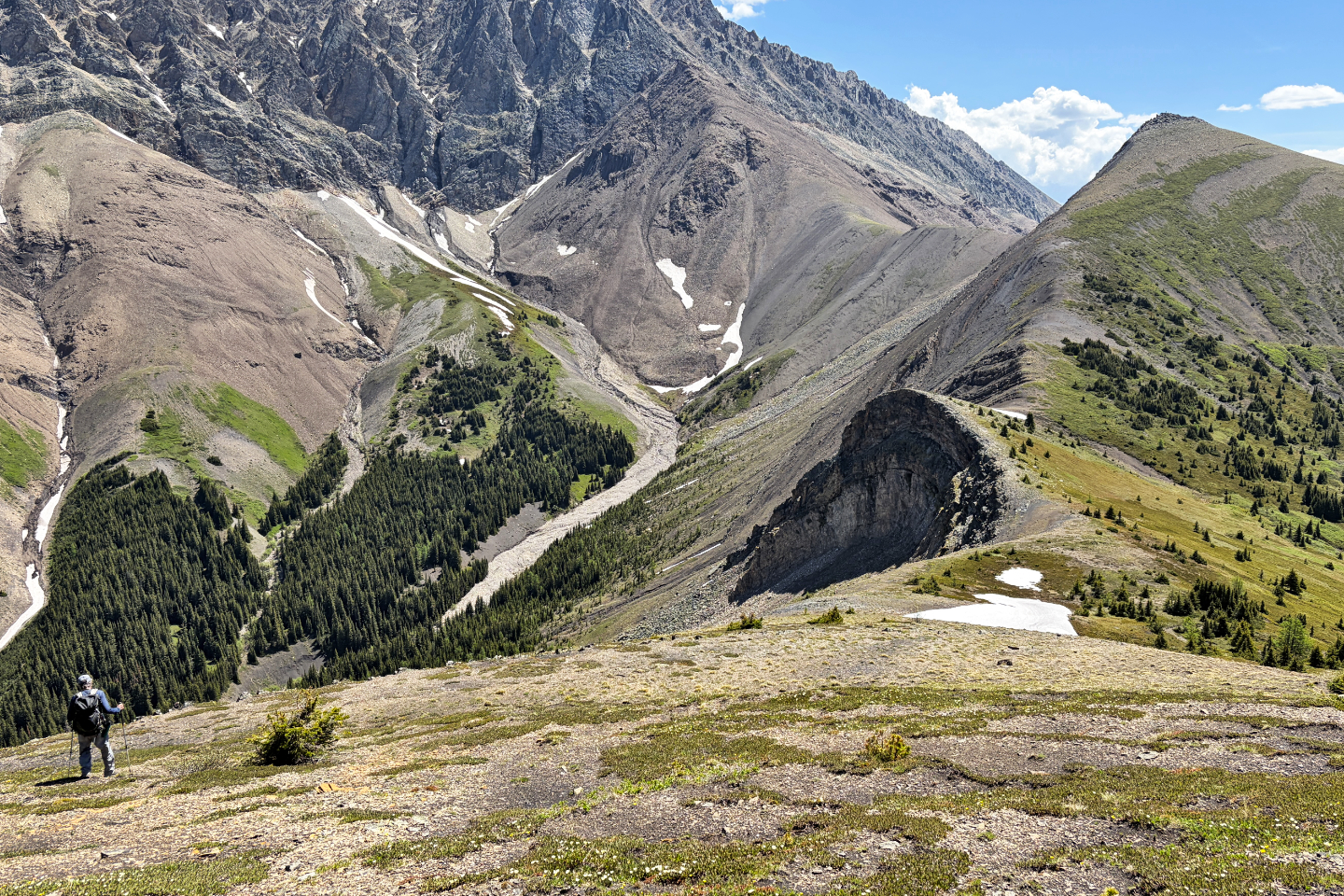 Dropping down to the saddle
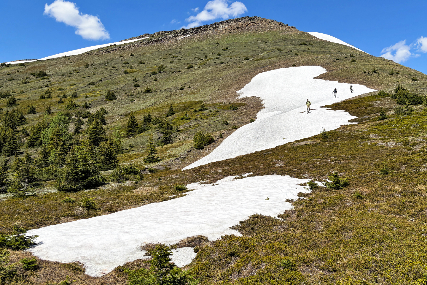 We took advantage of a snow patch to descend
quickly
We took advantage of a snow patch to descend
quickly
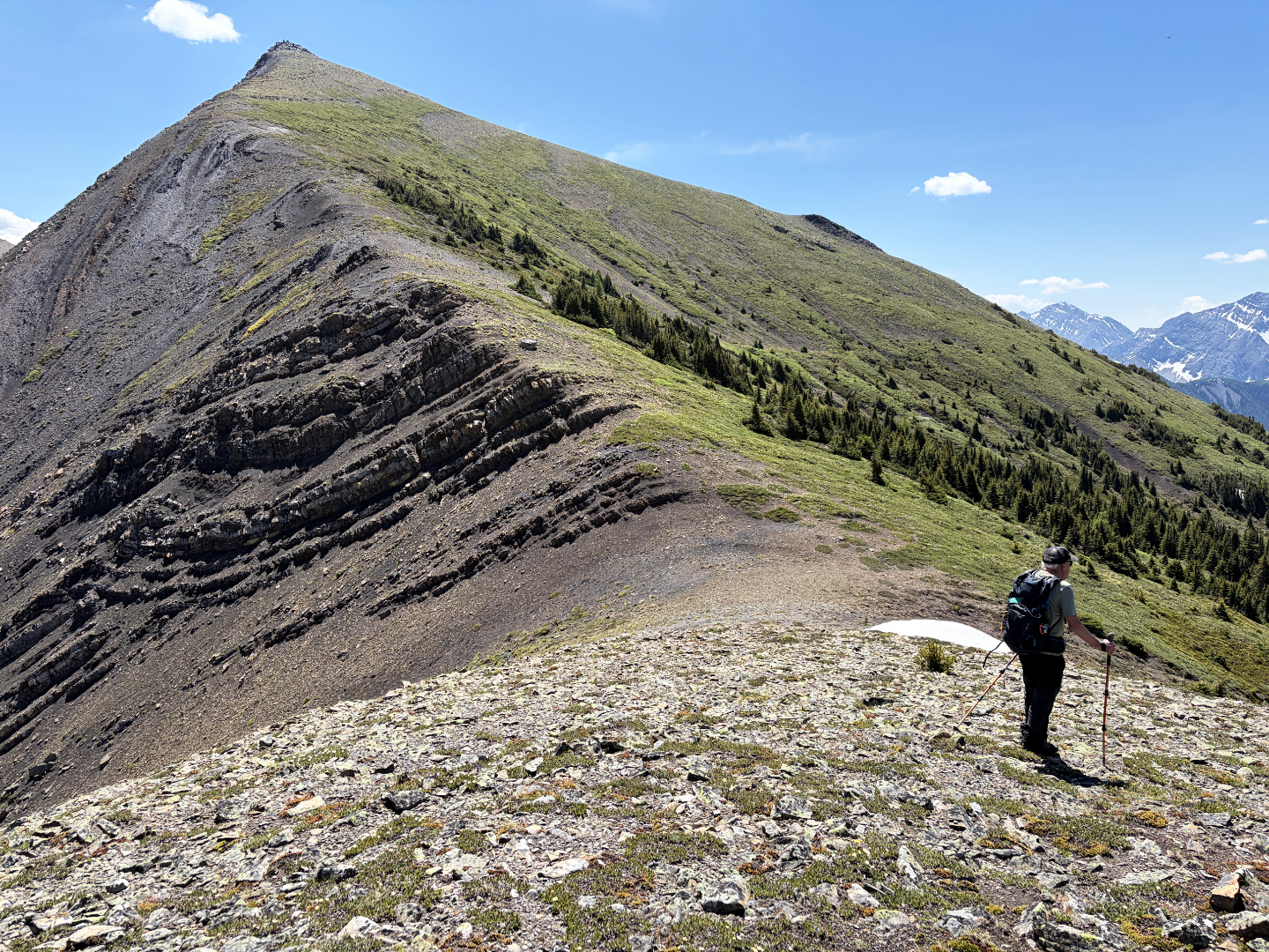 Looking up at the East Summit from the saddle
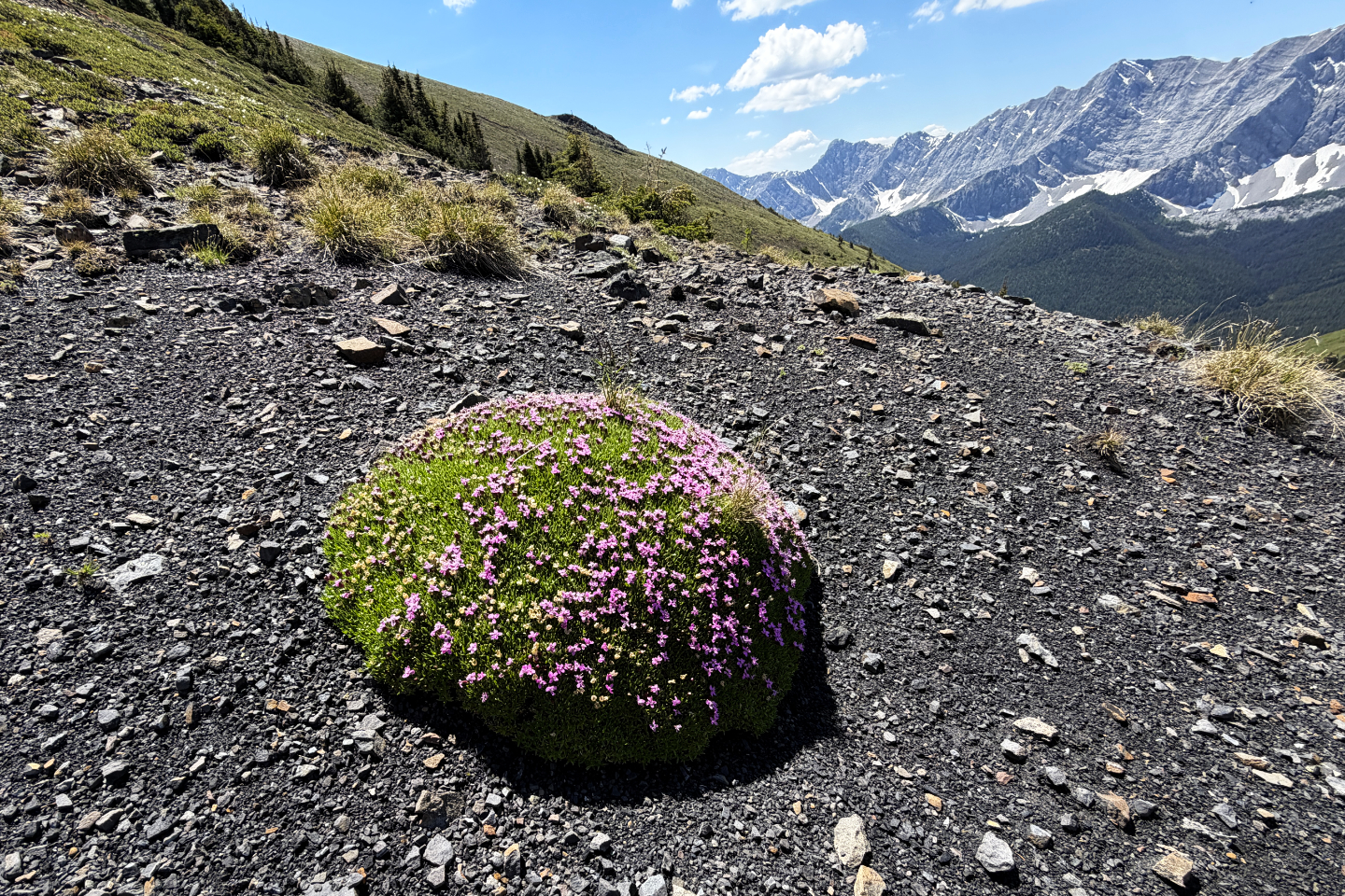 Moss campion covers a round rock
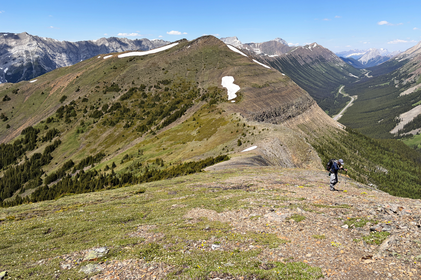 Looking back at the West Summit
 Panorama from the East Summit
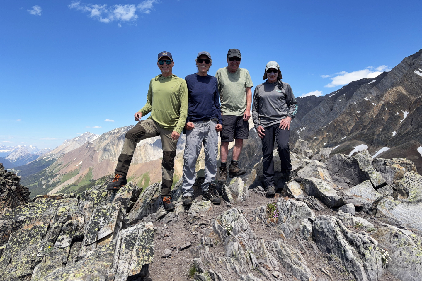 Standing on the East Summit
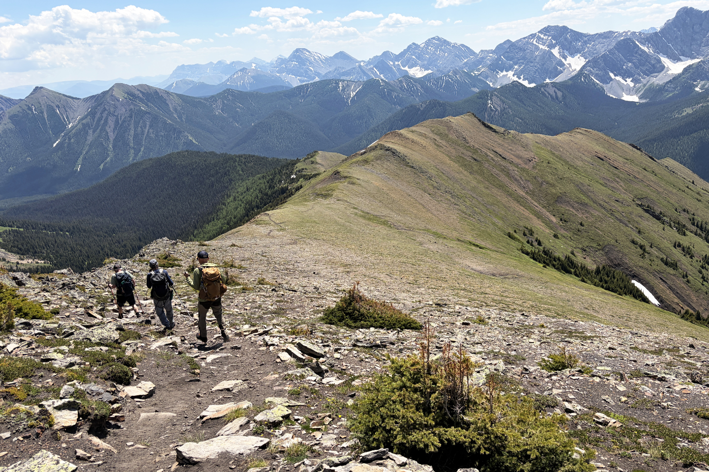 Heading to the descent ridge
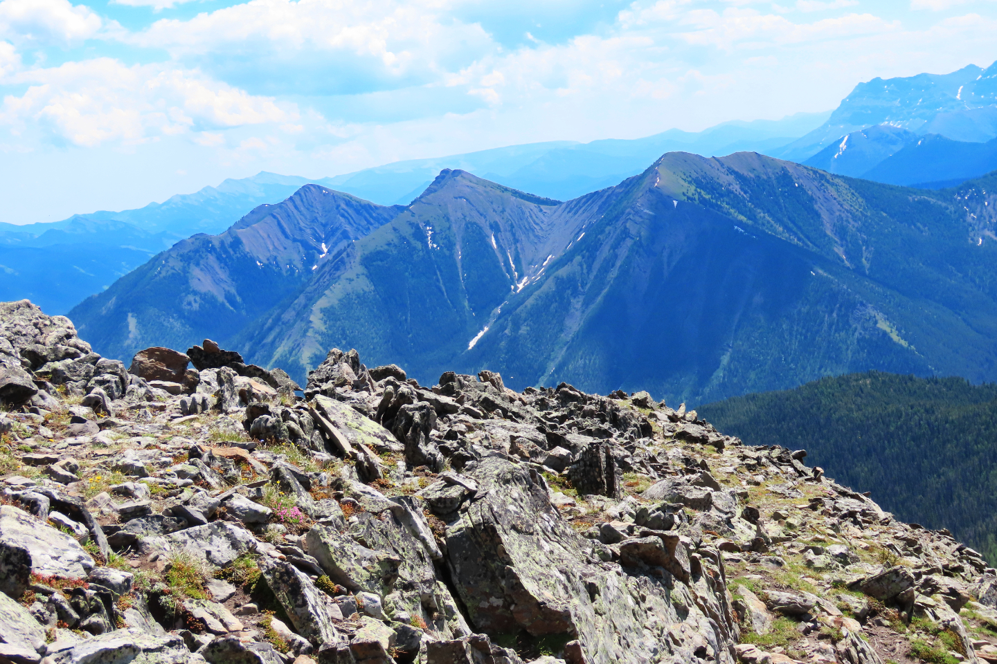
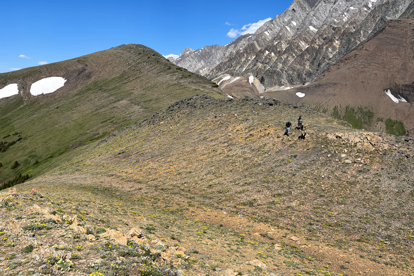 Looking back at the East Summit from the
descent ridge
Looking back at the East Summit from the
descent ridge
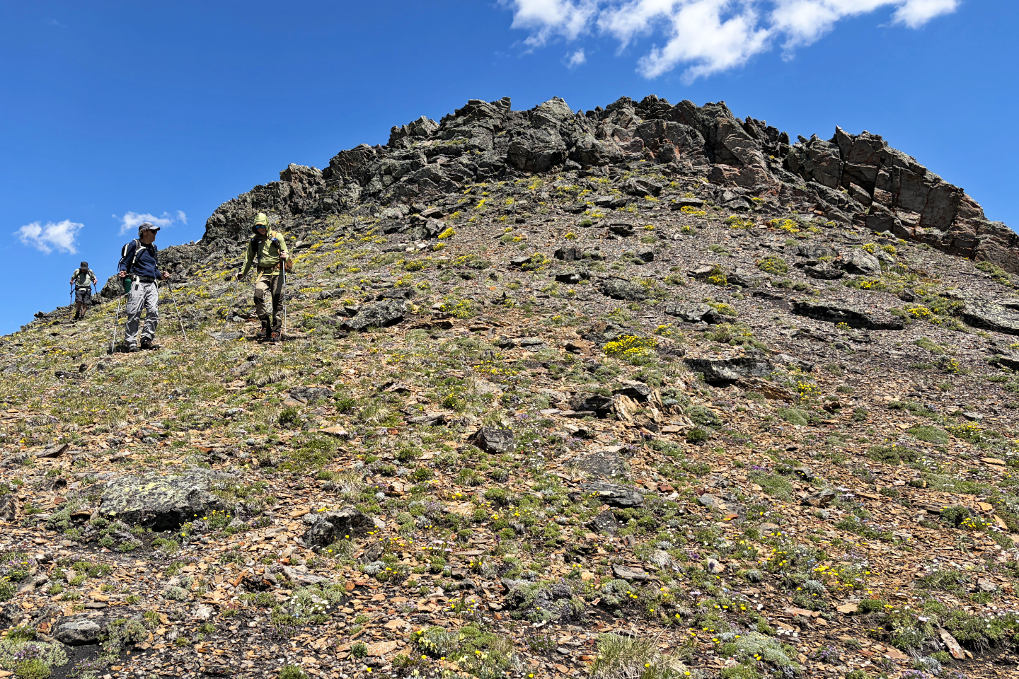 Looking back at a short rockband we easily
downclimbed
Looking back at a short rockband we easily
downclimbed
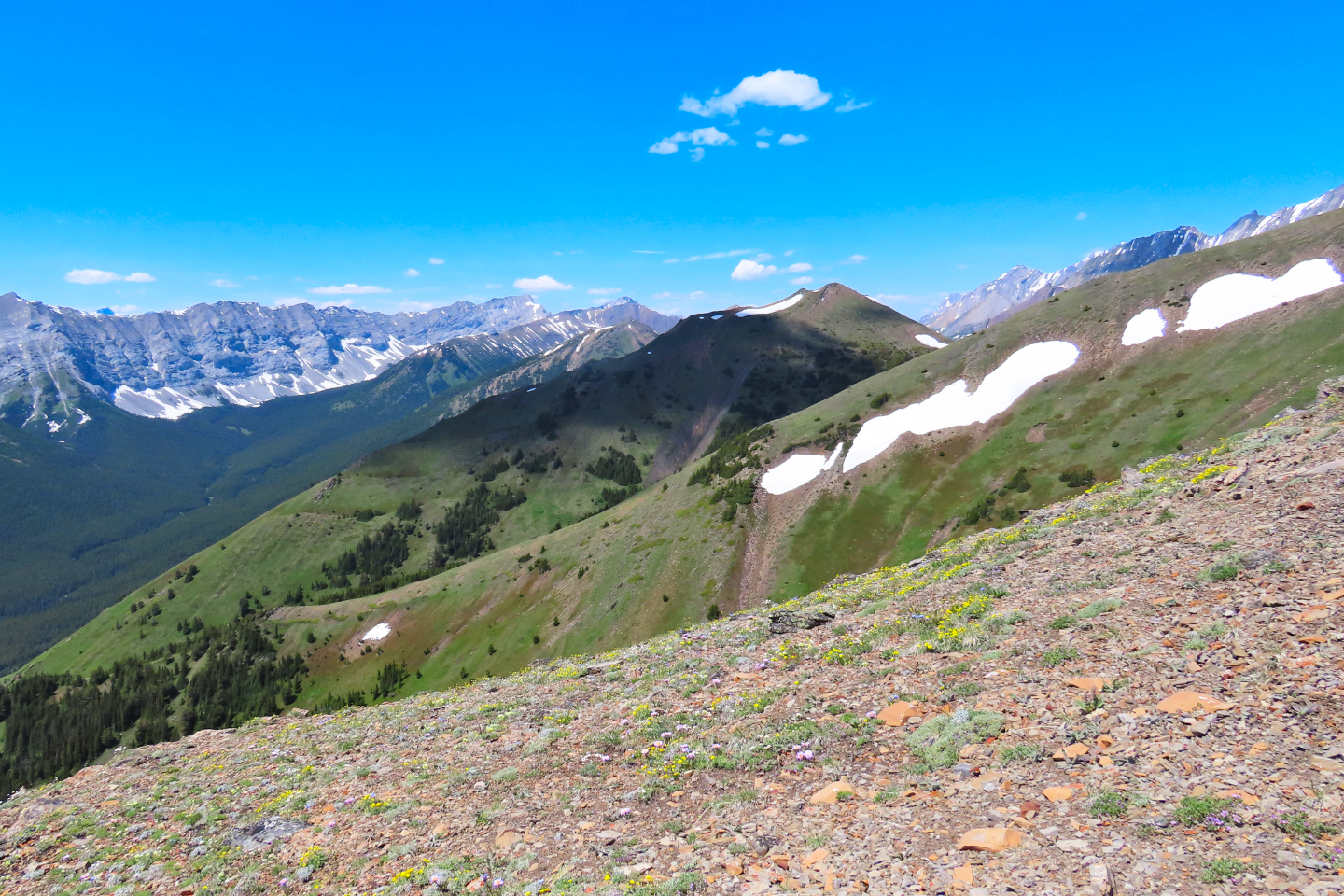 Looking across at the West Summit (mouse over for a close-up)
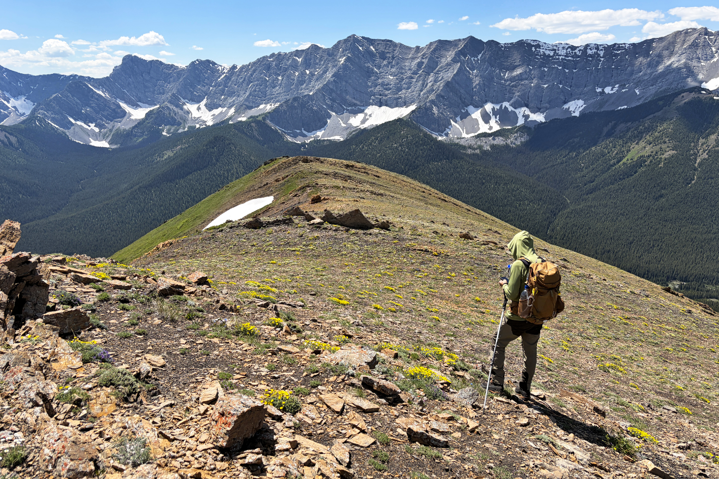 Continuing down the ridge
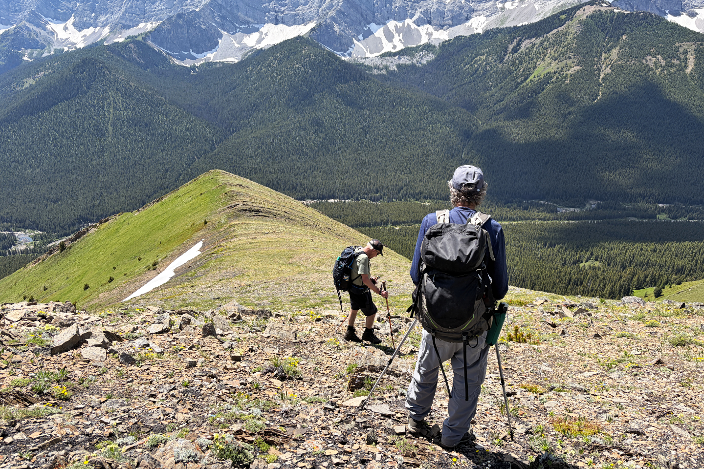 The highway came into view
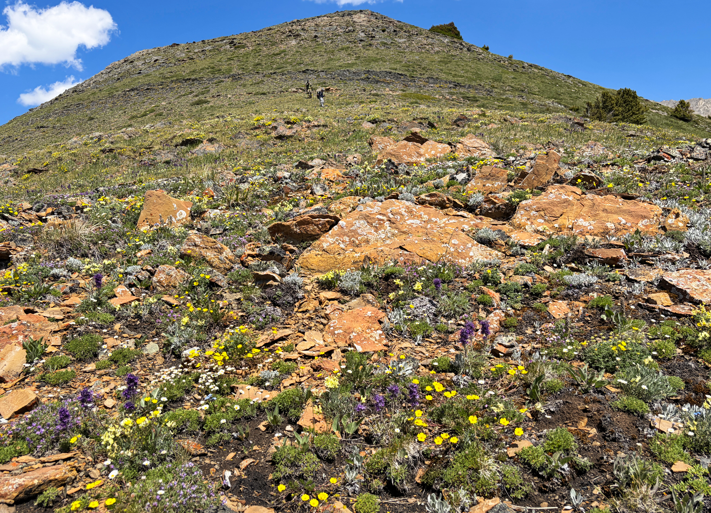 A variety of wildflowers covered the ridge
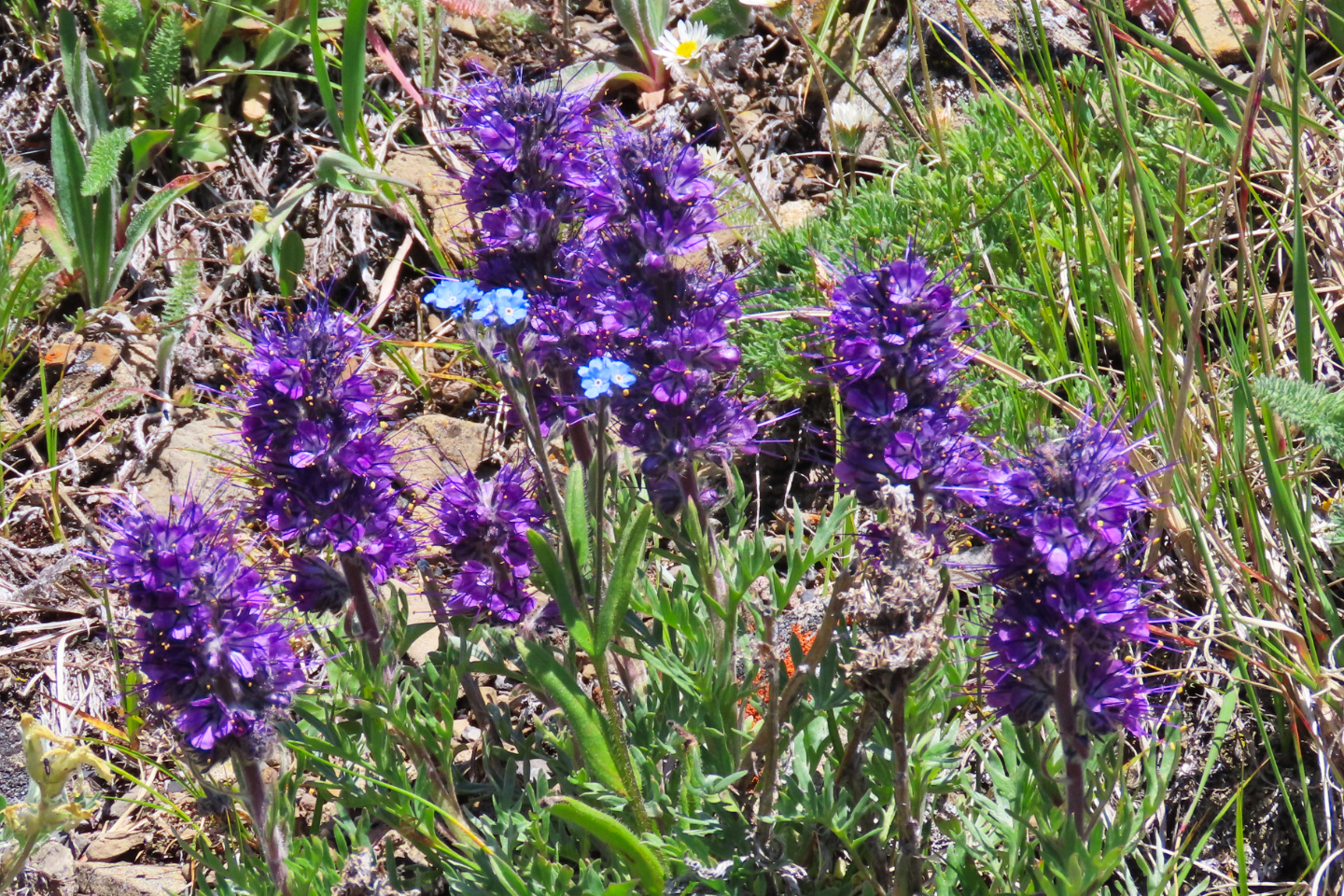 Silky scorpionweed surround forgetmenot
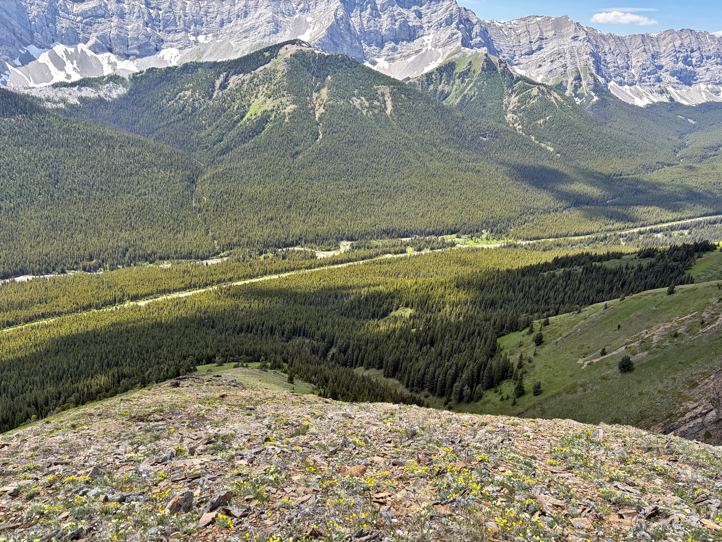 The last section of open ridge was steep with
loose rock. The tiny meadow near the centre is where we hiked up earlier and found a trail.
The last section of open ridge was steep with
loose rock. The tiny meadow near the centre is where we hiked up earlier and found a trail.
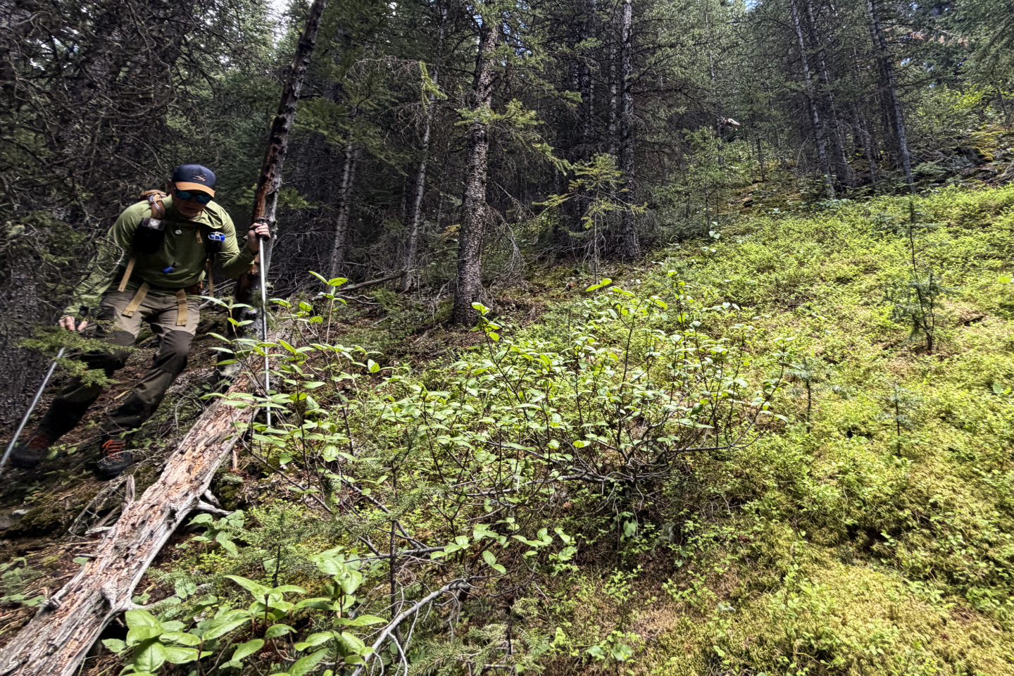 We bushwhacked back to the highway. Brian on
the left and Bob at the top.
We bushwhacked back to the highway. Brian on
the left and Bob at the top.
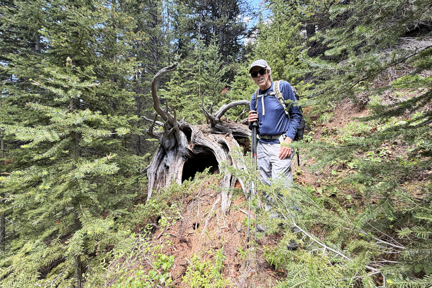 We wondered if this downed tree was a bear den
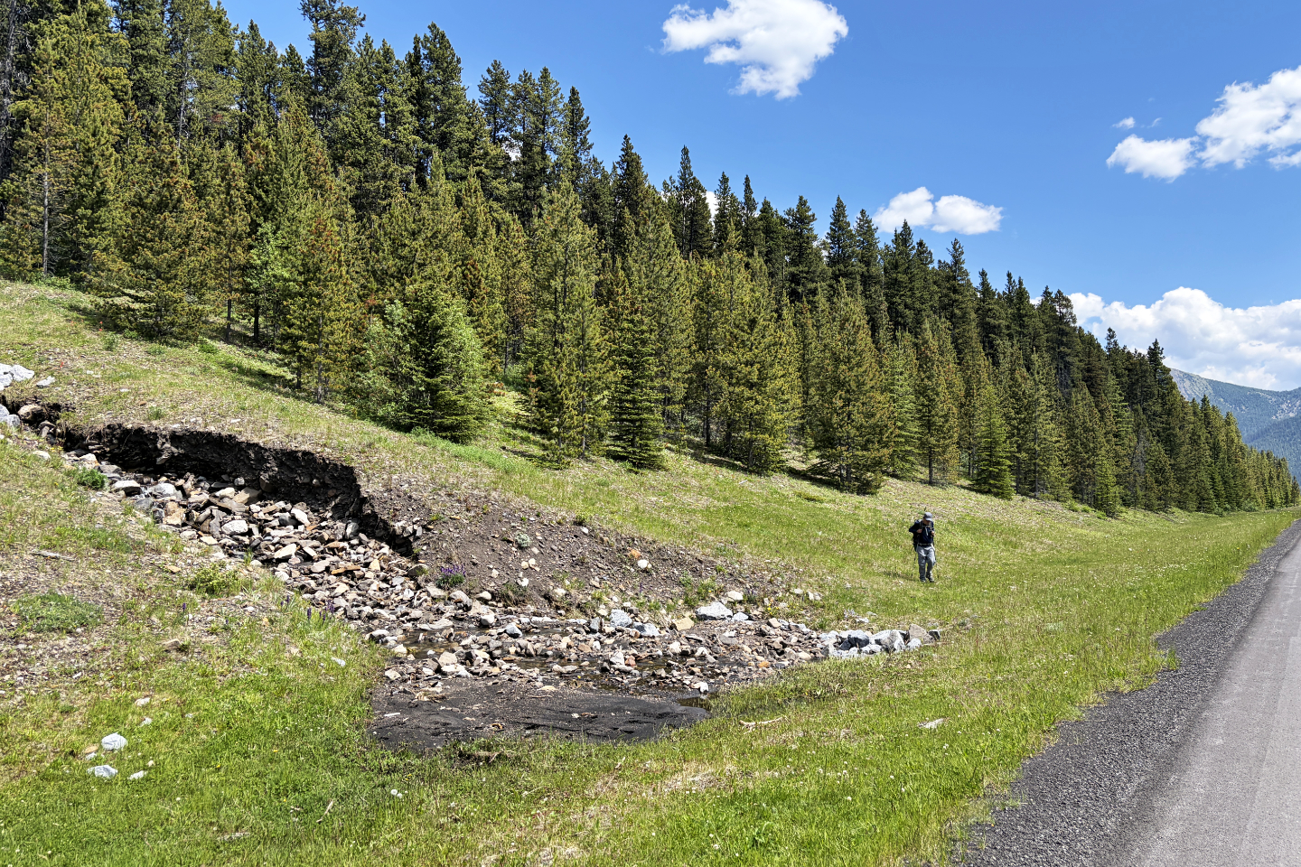 We came out by the east creek, 150 m from the
car
We came out by the east creek, 150 m from the
car
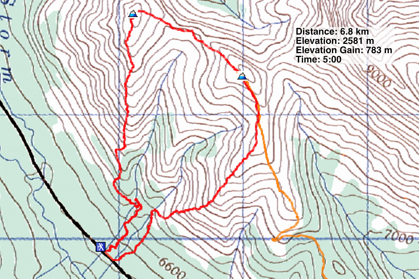 Purple line is the trail