bobspirko.ca | Home | Canada Trips | US Trips | Hiking | Snowshoeing | MAP | About
Deer Ridge
Kananaskis, Alberta
May 1, 2020
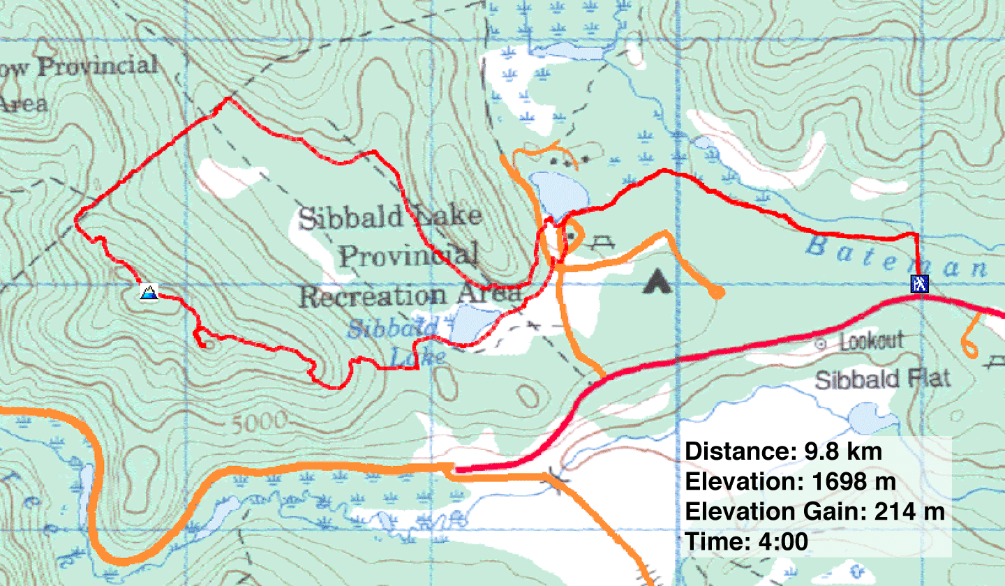
Distance: 9.8 km (6.1 mi)
Cumulative Elevation Gain: 240 m (787 ft)
With seemingly the worst of the coronavirus pandemic behind us, provincial parks reopened on May 1. After being forced to hit the pause button on hiking for several weeks, Dinah and I welcomed the reopening and ventured out to climb Deer Ridge that day.
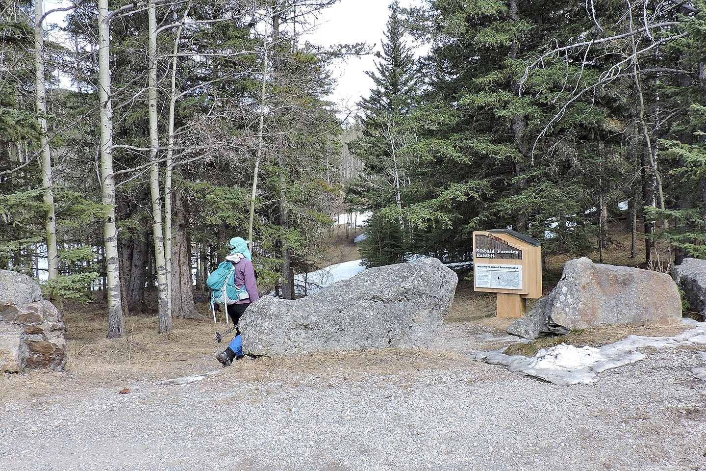
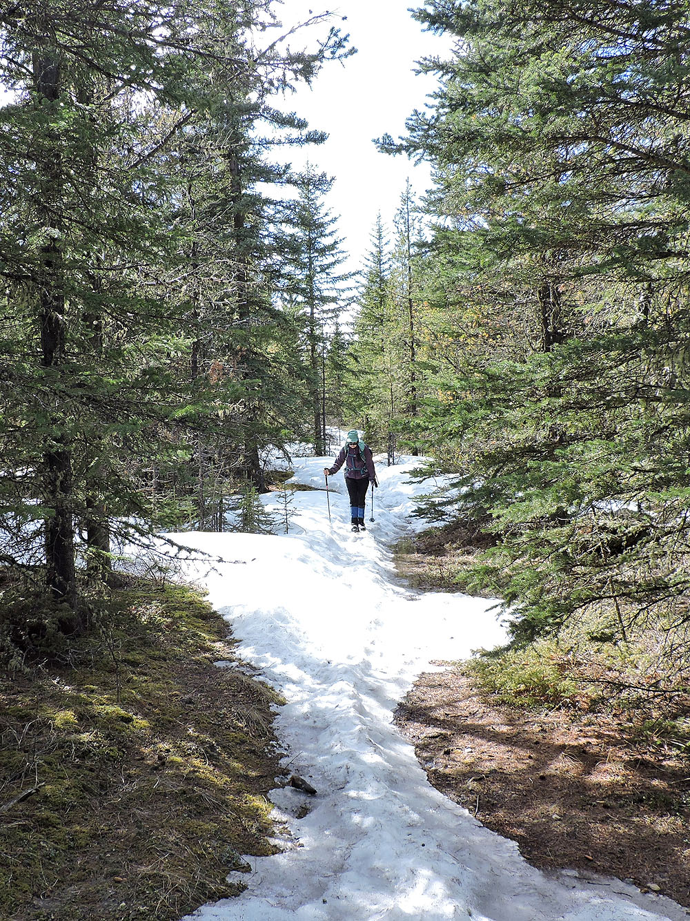
The usual start for Deer Ridge is Sibbald Lake day-use area, but barriers at the access road were still in place; we couldn't begin our hike there. So we drove east 1.5 km to another trailhead. Here, a 2-km connector runs to Sibbald Lake.
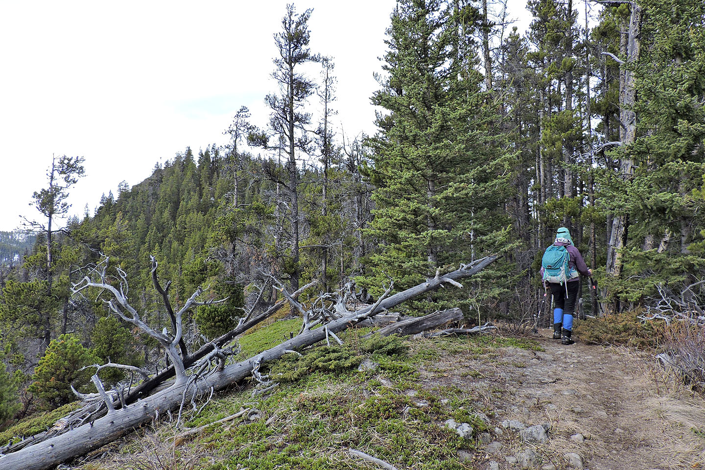
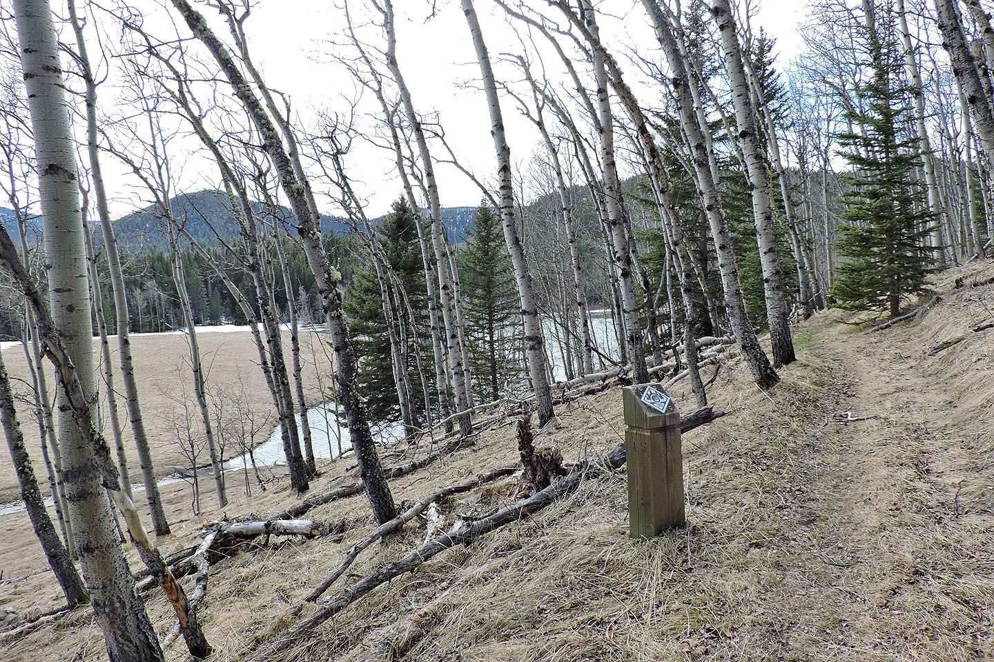
In dry conditions, the connector is likely a fine path, but it was covered in snow when we went. We lumbered up the trail and half an hour later, we reached Deer Ridge trailhead at Sibbald Lake. The trail begins in the open and stretches across a dry meadow before ducking into trees that shaded lingering snow. But as we climbed, the snow disappeared and we enjoyed a pleasant ascent up the lightly forested east end of Deer Ridge.
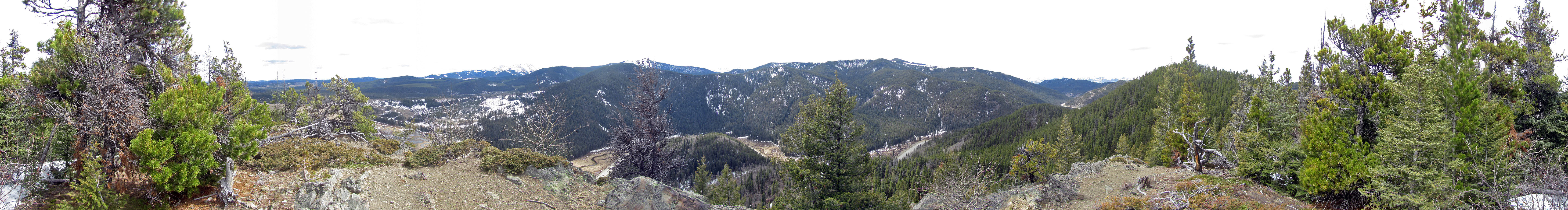
Before reaching the highest point on the ridge, the trail winds up the east summit. One should be grateful for this intervening summit, for it's here that you'll find the only viewpoint. To reach it, a side trail leads to a clifftop. The views are confined to the south, but you'll want to take advantage of it. Expect to be stuck in trees for the duration of the trip, even if you take the loop back to Sibbald Lake as we did.
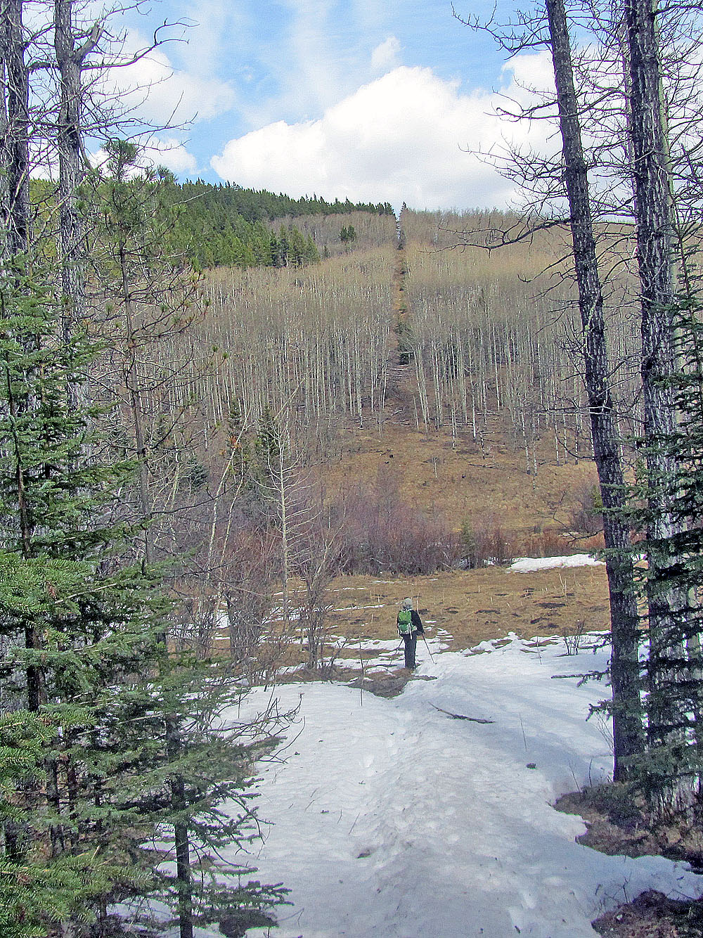
We continued west along the ridge to the snow-laden cutline. Forested on either side, the trail dropped down like a white ribbon. We took the path gingerly for occasionally our boots punched through the snow crust, dropping down as much as mid-thigh.
We thought our ordeal was over when we reached the valley bottom, but we faced trudging in more wretched snow on the trail or crossing a marsh. We took the marsh shortcut, since it knocked 400 m off the route. Walking on tussocks, we managed to avoid stepping in deep water. We were back on the trail briefly before we hit a similar situation. This time, we avoided a kilometre-long hairpin turn by taking a 100-m shortcut across a frozen marsh.
The rest of our hike back to the trailhead was unremarkable. After getting into our car, we drove back to see if the Sibbald Lake access was open. Sure enough, the barriers were gone. In the midst of the covid-19 crisis, it was nice to see a sign of normalcy returning.
Our trailhead added 2 km to the usual approach
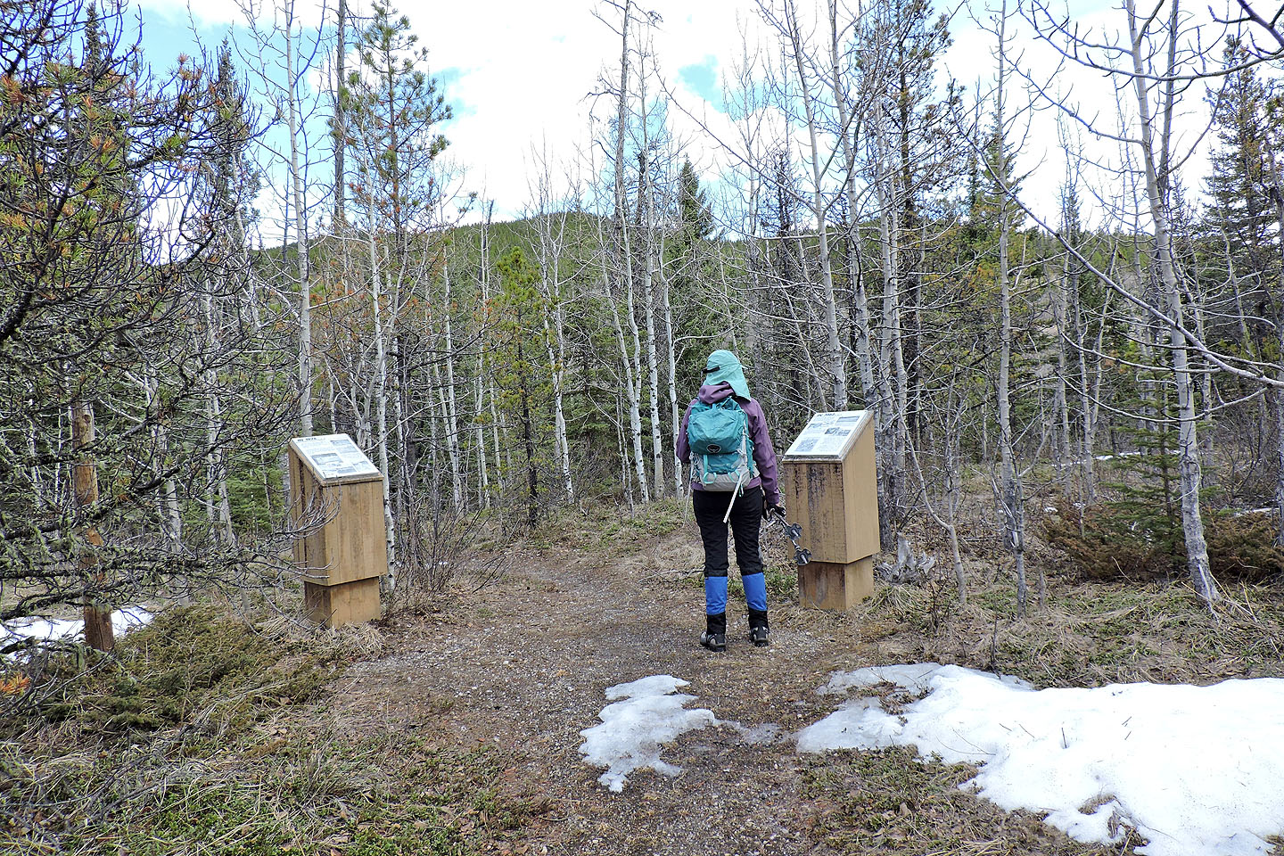
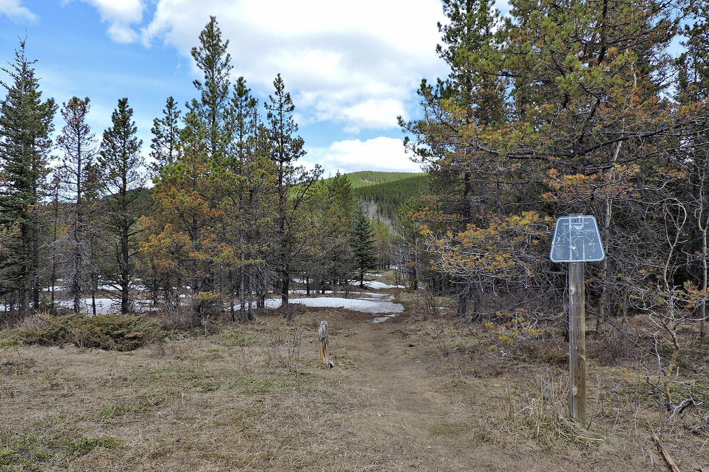
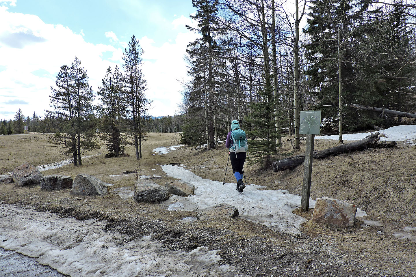
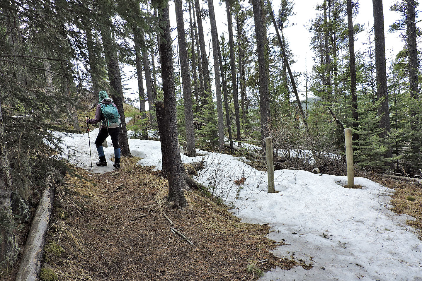
The trail passes information posts
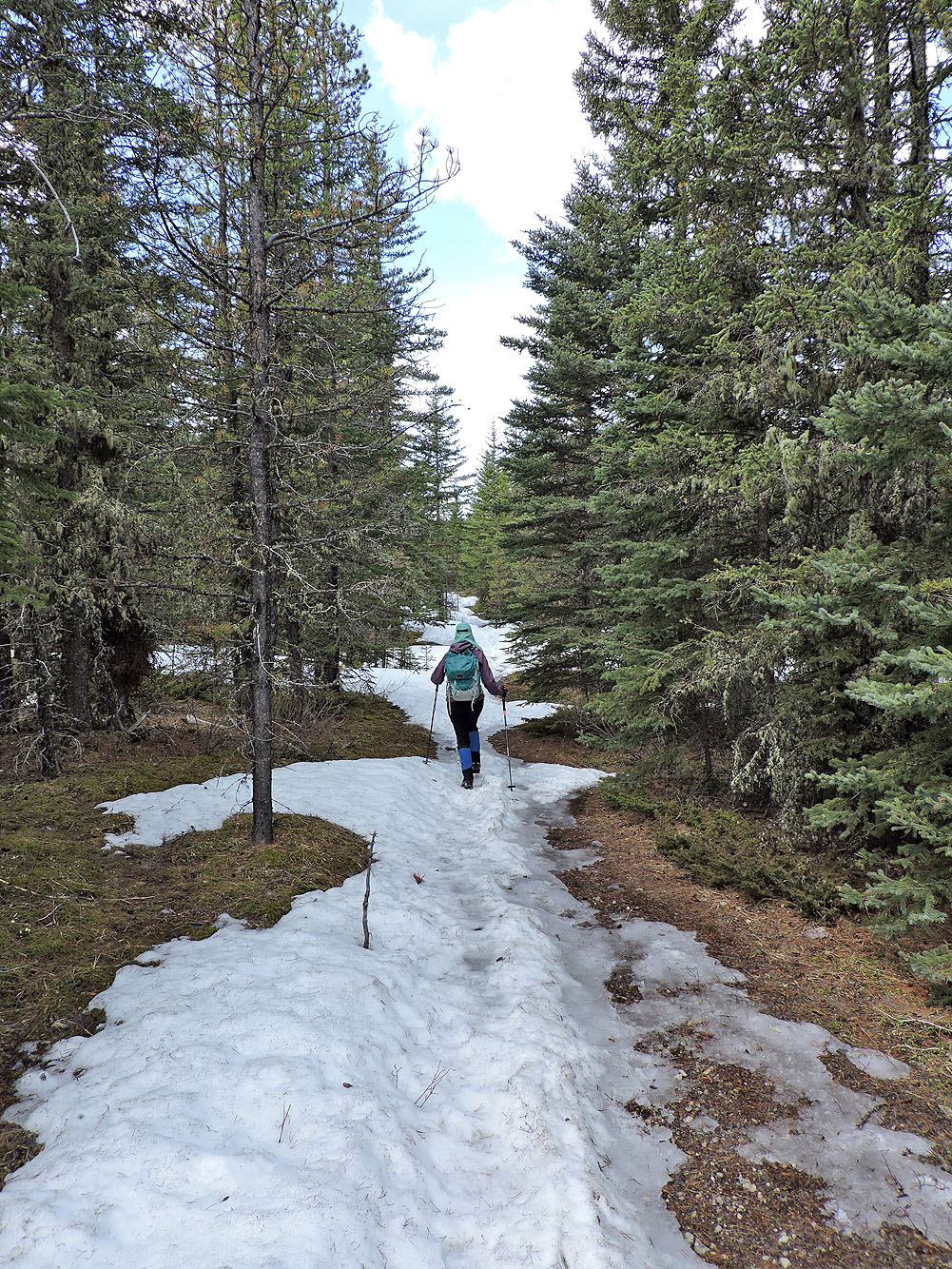
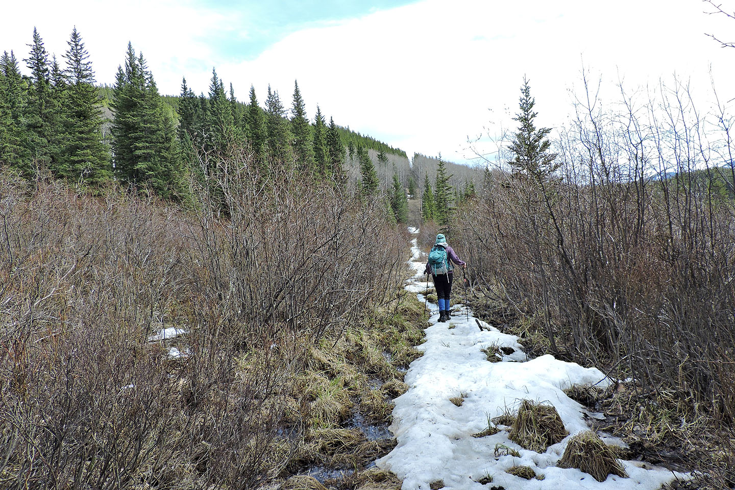
Much of the connector was covered in snow
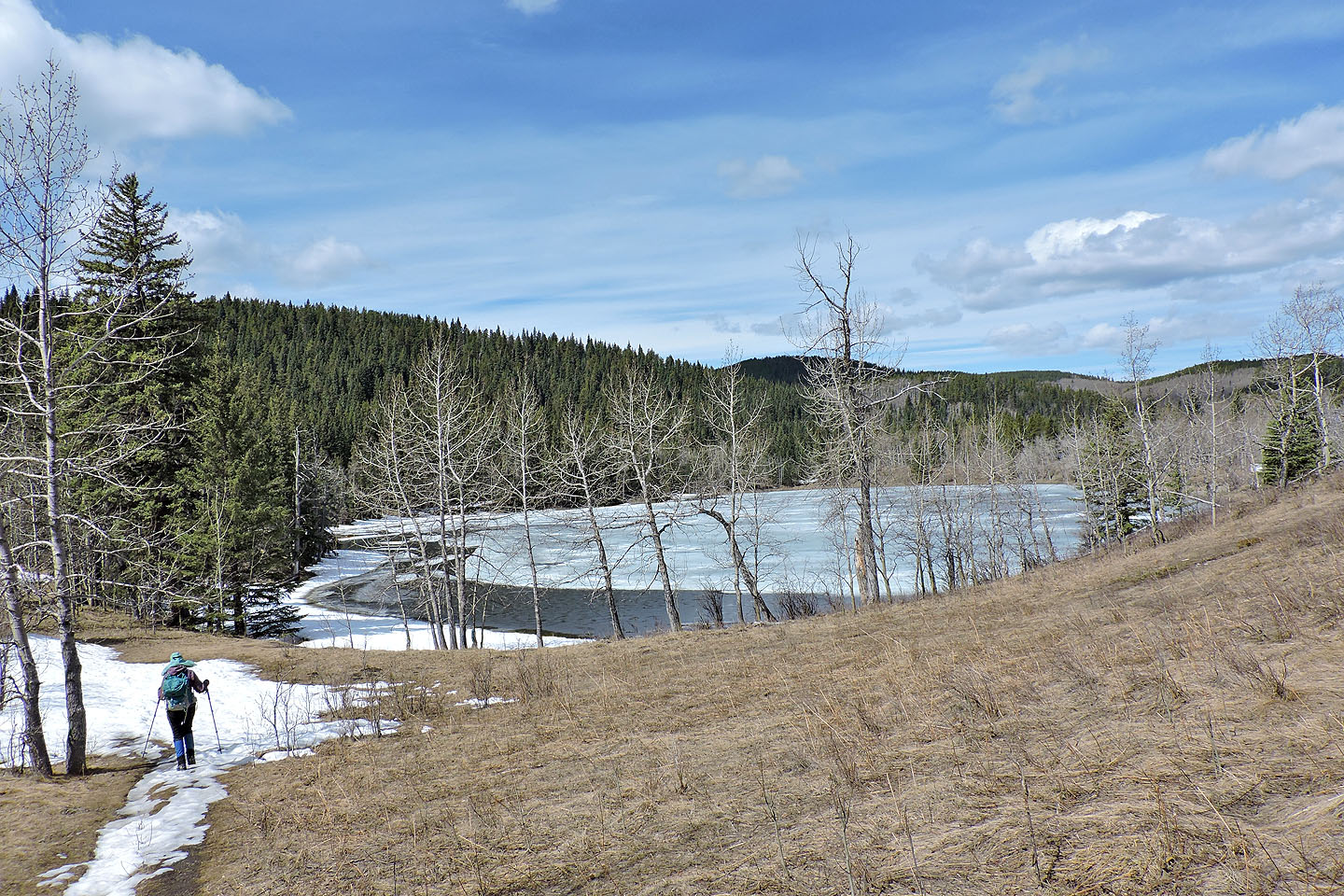
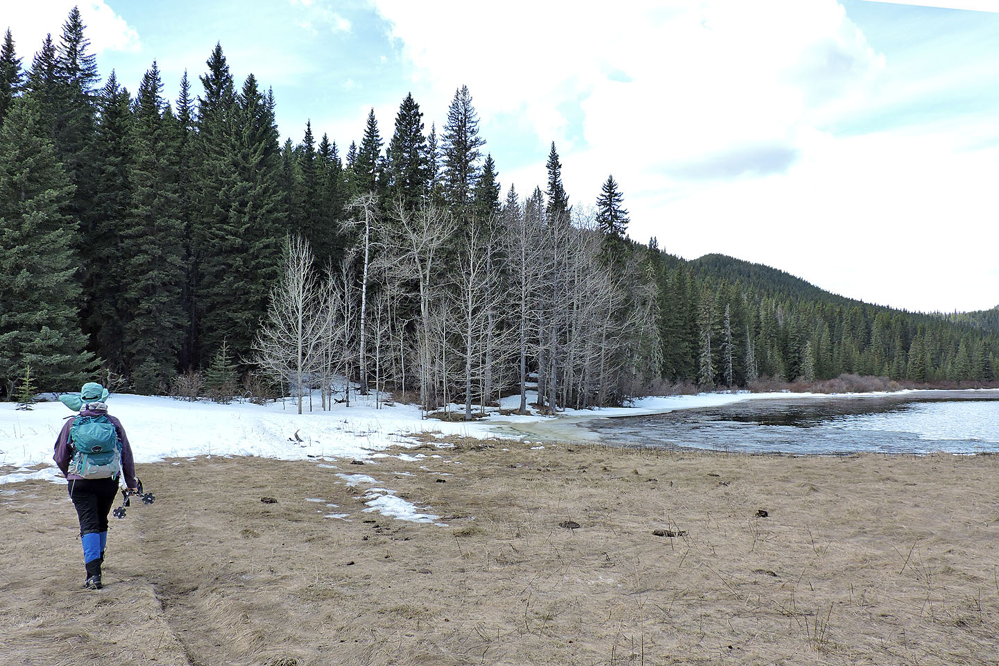
Approaching Sibbald Lake
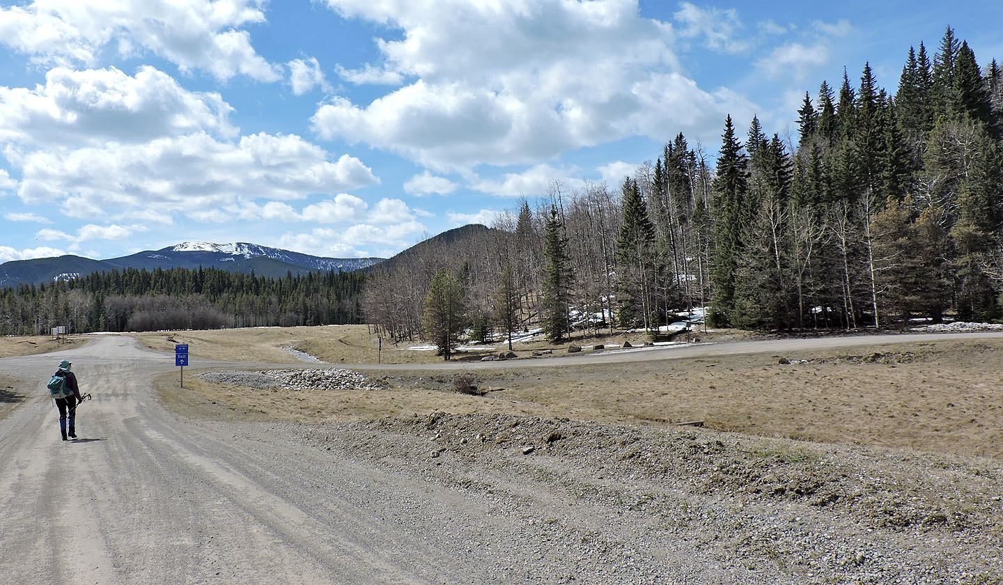
Sibbald Lake parking lot
Starting up the trail for Deer Ridge
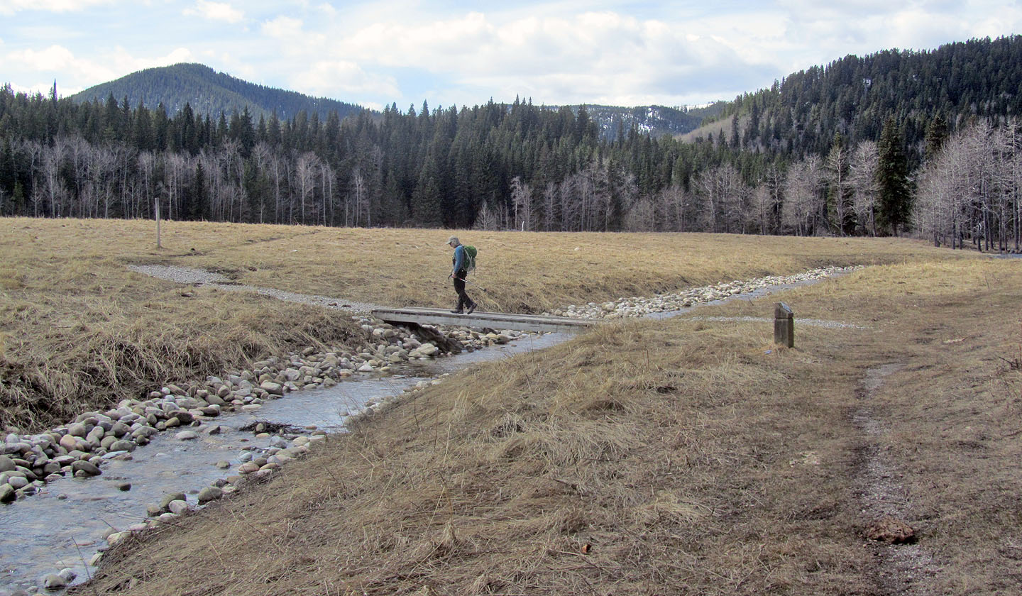
We soon crossed a footbridge
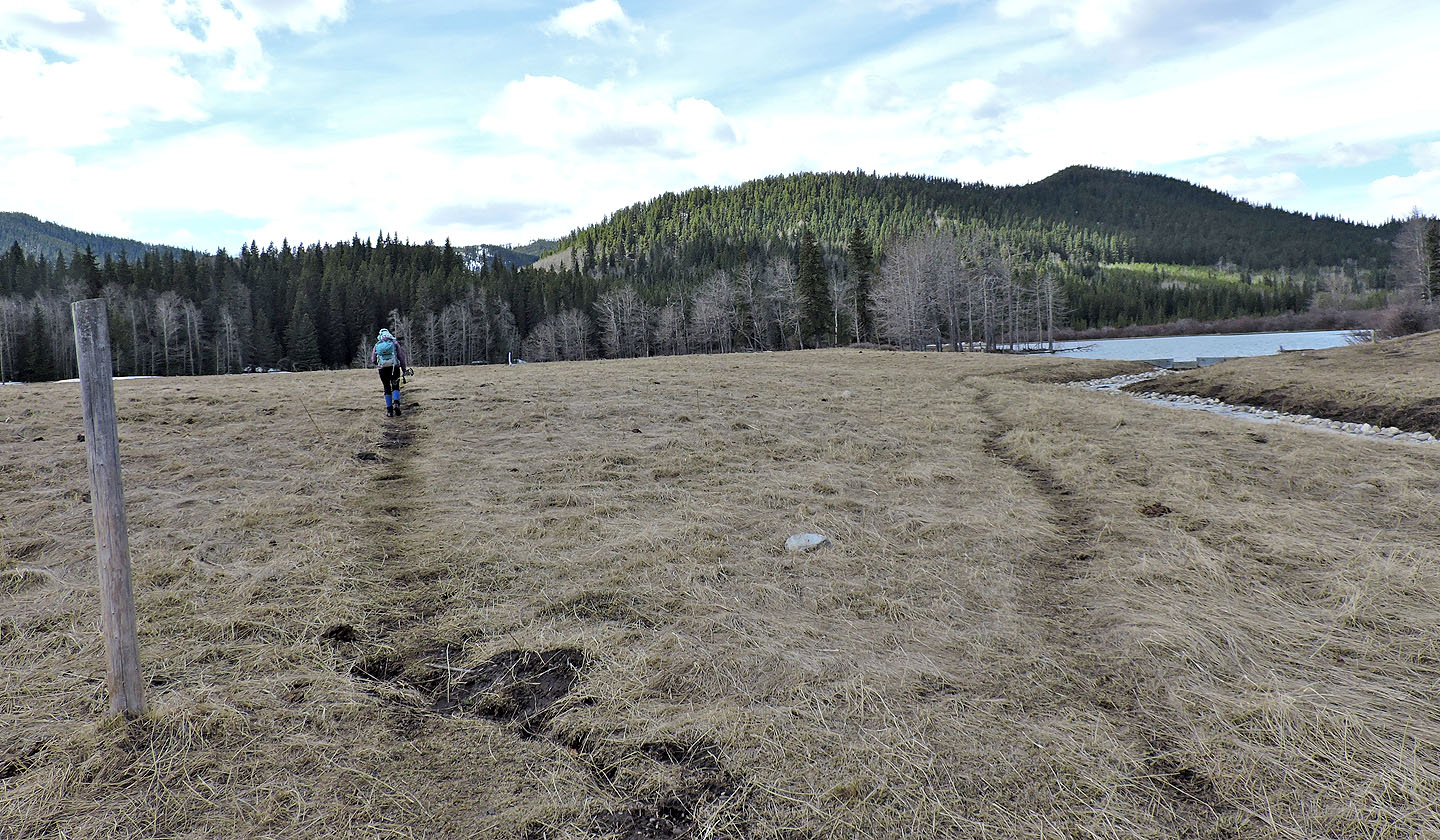
The trail crosses a meadow. Deer Ridge appears above Moose Pond.
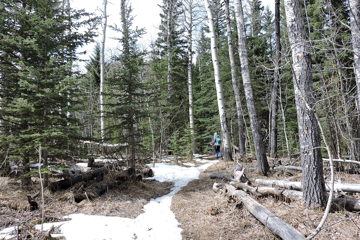
The trail enters the forest
Starting up the ridge
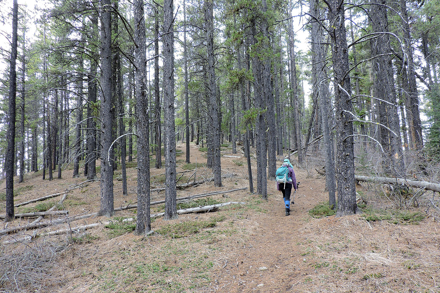
Higher up, the trail was dry
Nearing the east summit
A side trail leads to a viewpoint on the east summit
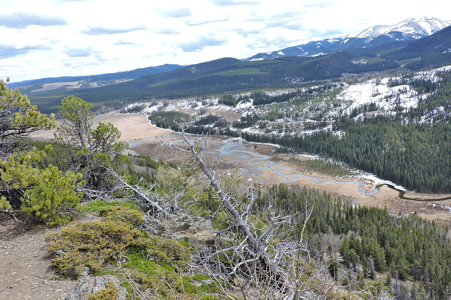
Looking down at the valley from the viewpoint
Heading to the higher west summit
 Standing next to the summit cairn
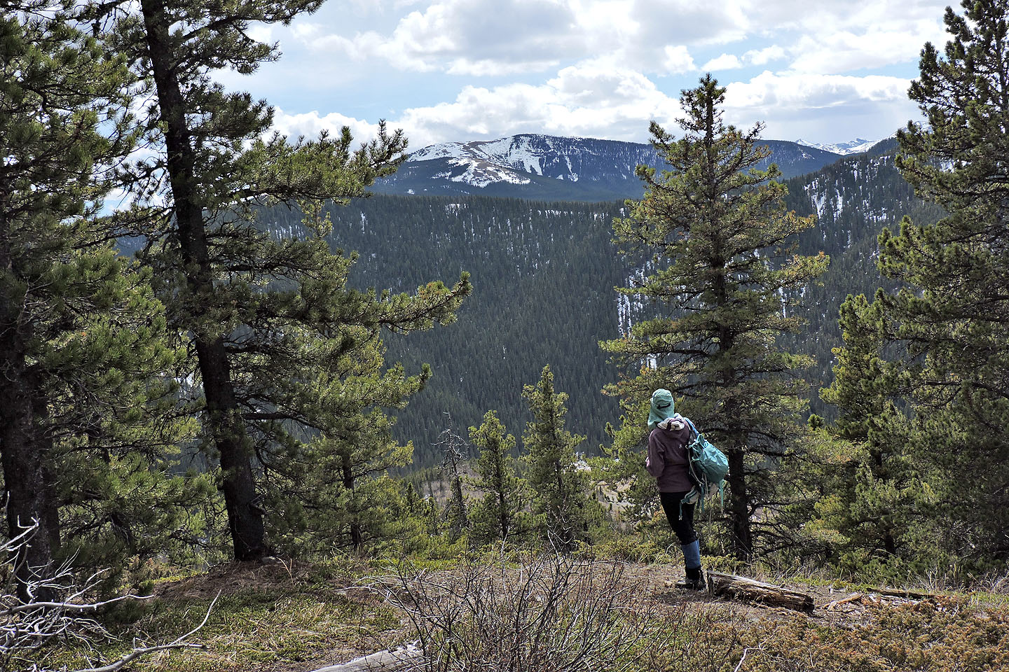
Looking south at Cox Hill
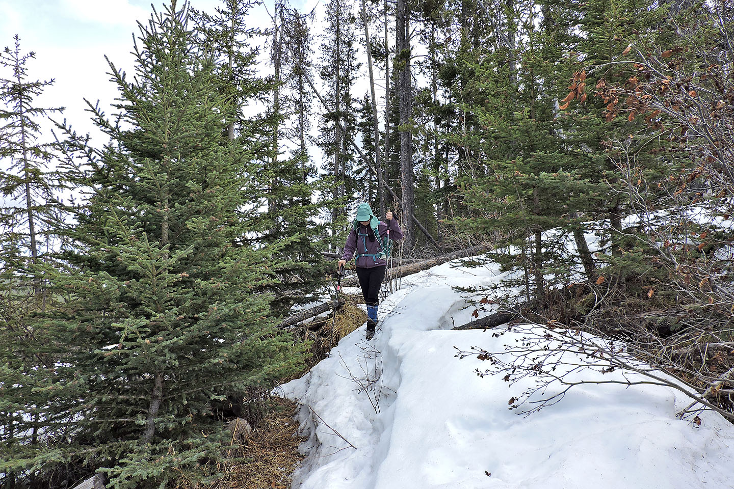
Continuing past the summit, we started encountering snow
The entire cutline was under snow, and sometimes we punched through the crust
Near the valley bottom, the snow was shallower and firmer
The trail turns left at the bottom, but we went straight and crossed a marsh
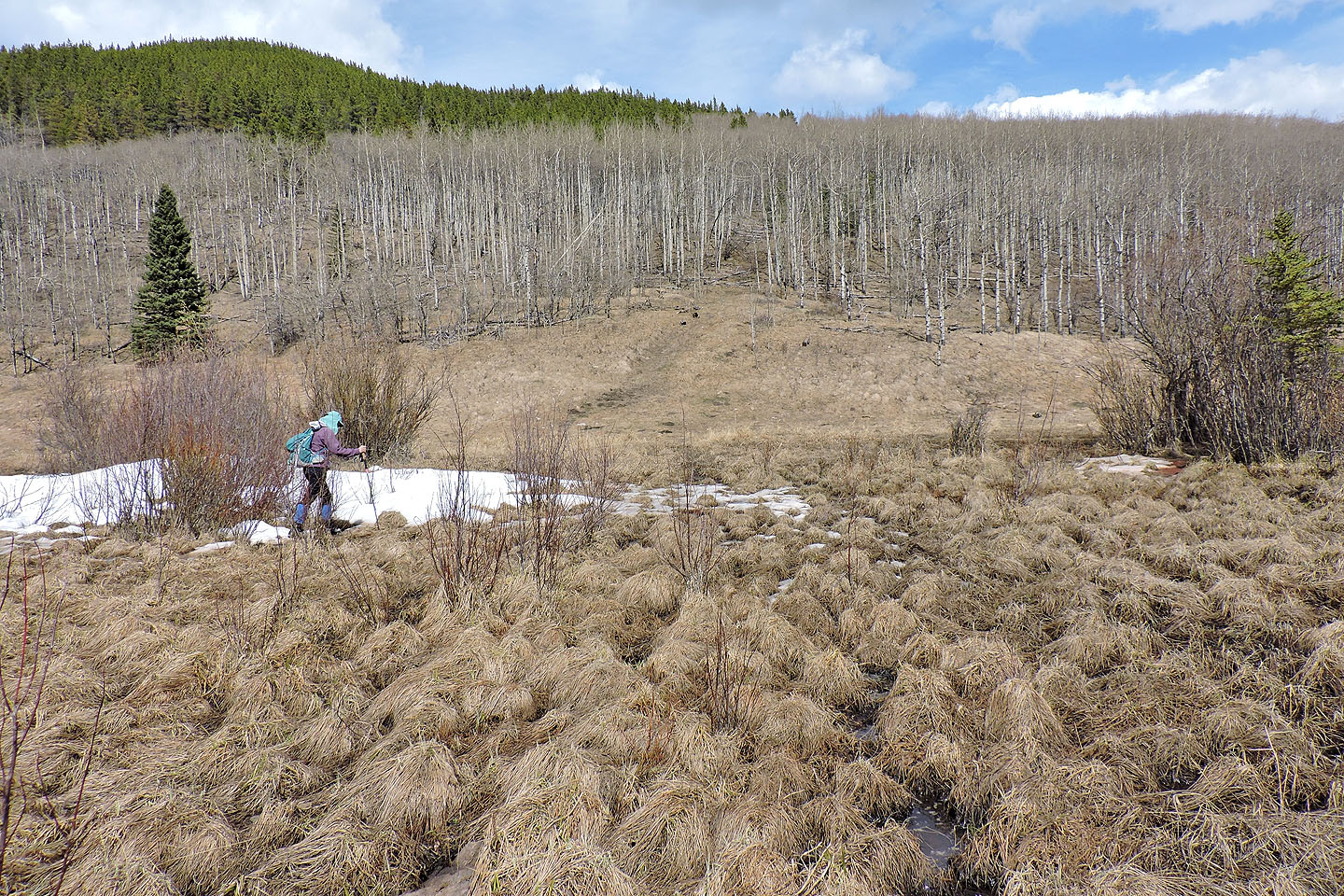
Crossing the marsh knocked off 400 m from our trip
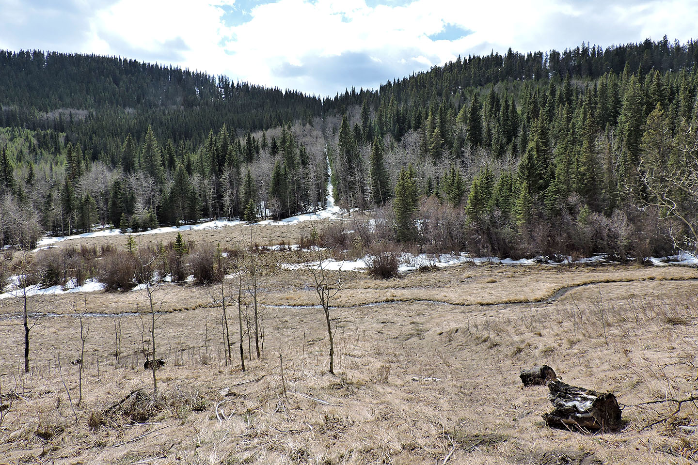
Looking back at the cutline after reaching the trail on the other side
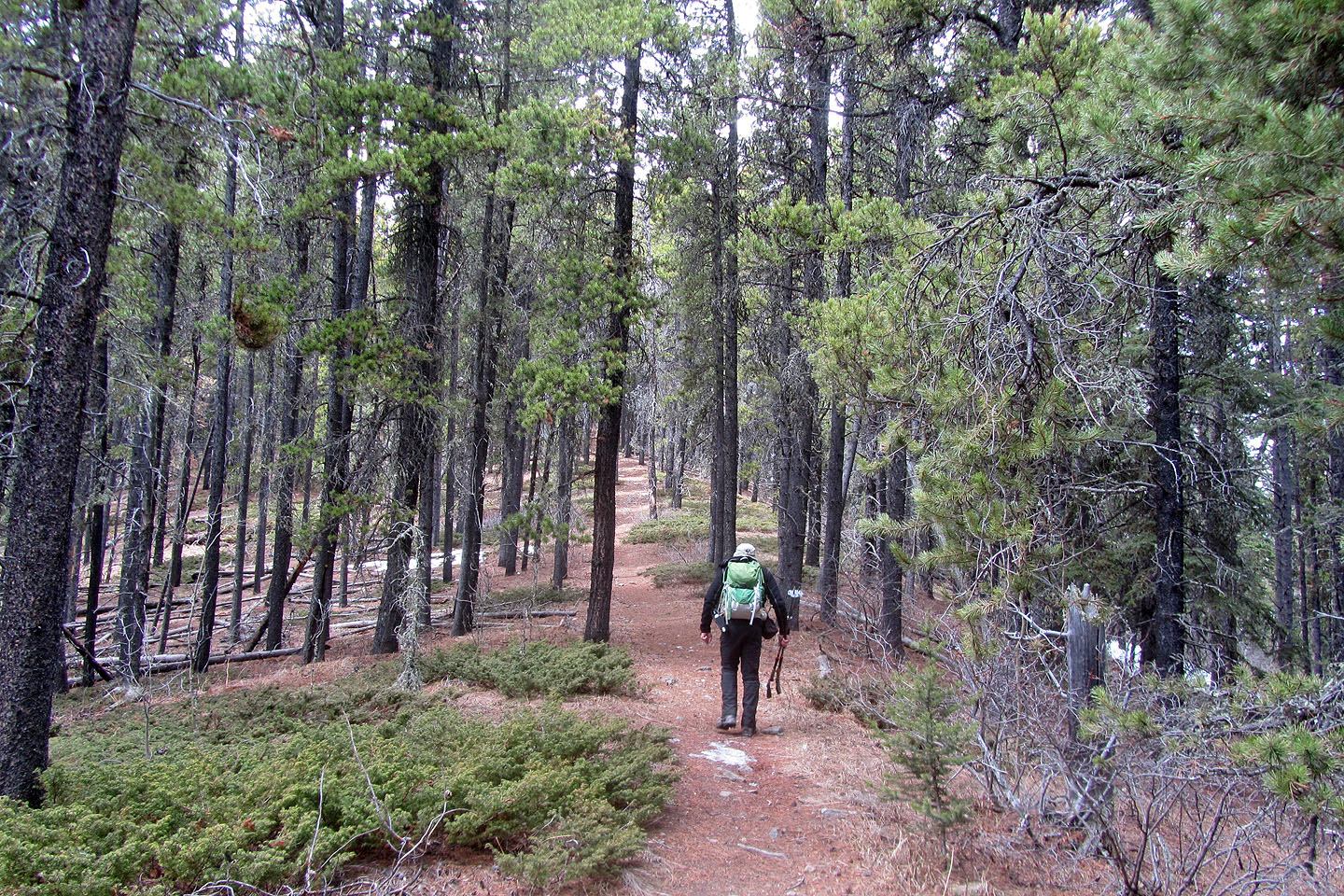
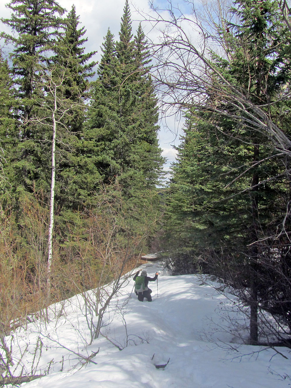
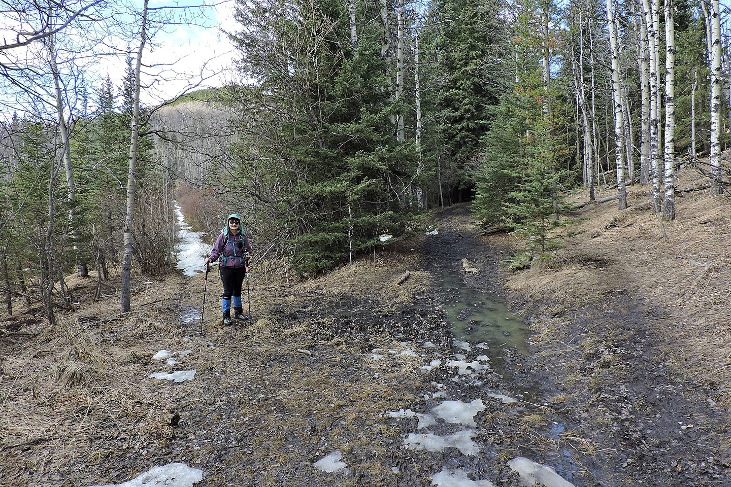
The trail back along the valley was mostly dry
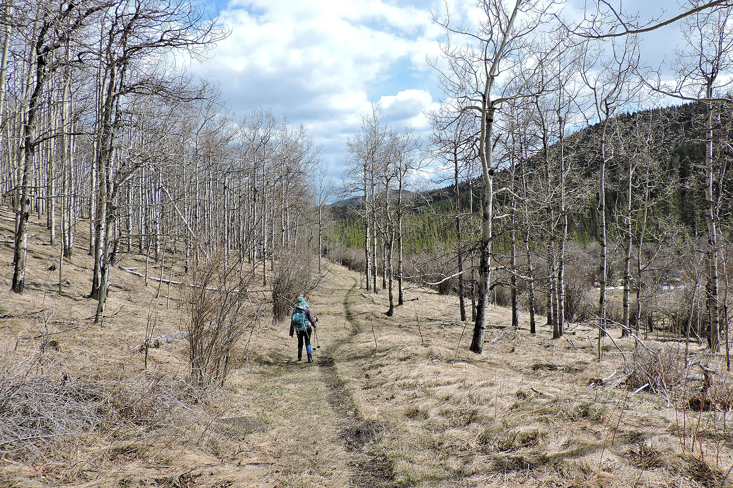
Another shortcut knocked off 800 m
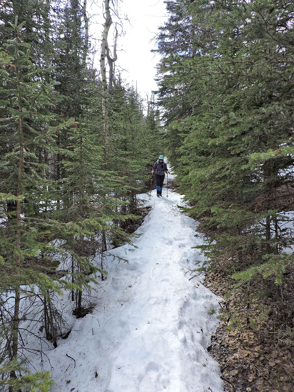
Back on the trail after taking the shortcut
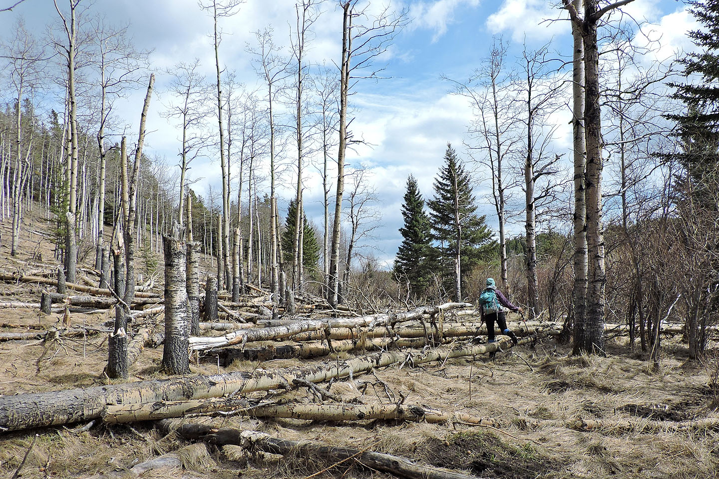
Dinah climbs over fallen trees on the trail
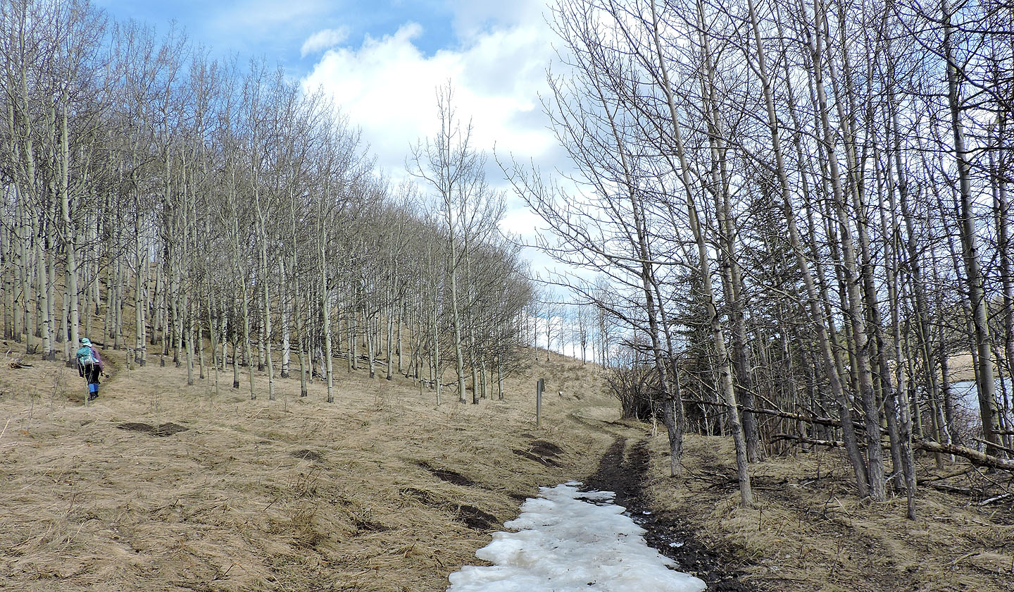
Instead of taking the trail all the way back, we turned onto a side path that led back to the parking lot
Looking back, Moose Pond is visible through the trees
Back at Sibbald Lake, starting on the connector
We'll soon be back at our car
82 O/2 Jumpingpound Creek