bobspirko.ca | Home | Canada Trips | US Trips | Hiking | Snowshoeing | MAP | About
Sand Ridge
Ghost Public Land Use Zone, Alberta
May 10, 2025
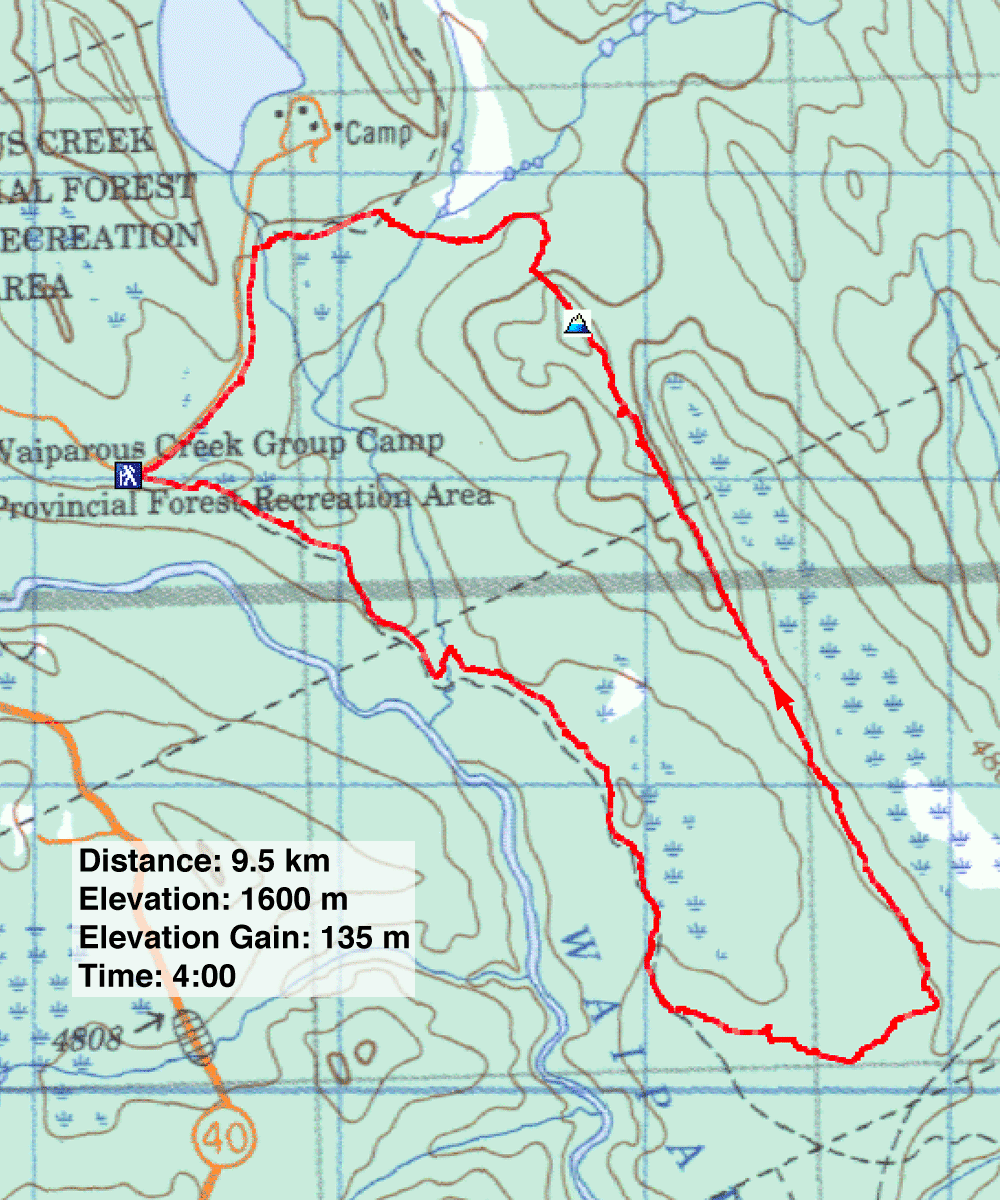
Distance: 9.5 km (5.9 mi)
Cumulative Elevation Gain: 212 m (696 ft)
With snow still lingering in the back range, Christine, Dinah and I ventured up Sand Ridge in the front range. The loop outlined in Kananaskis Country Trail Guide caught my eye. It begins on a tote road, a rough road used for transporting supplies in the wilderness, leading to the southern tip of Sand Ridge. From the end of the ridge, a trail follows the 3 km long ridge to the north end. Roads return hikers to the starting point.
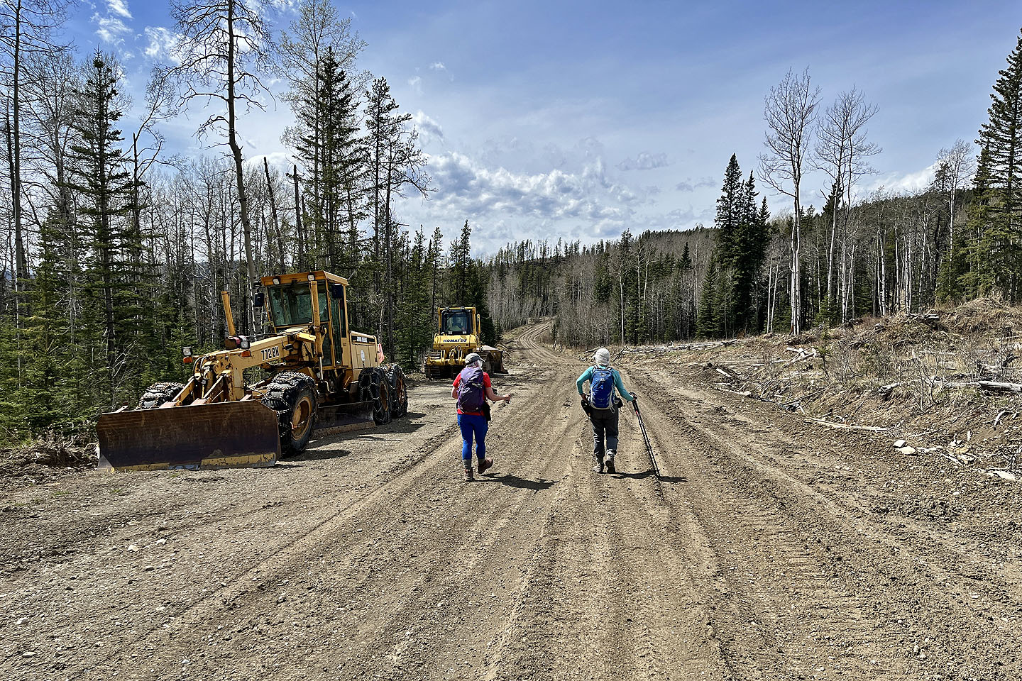
We parked at the foot of the tote road, at a fork. We followed the road as it gently dropped 50 m to a bridge spanning Waiparous Creek. As we continued, it became evident this was no longer a tote road but a logging road. We passed vast logging areas and a sign that read, “Logging Road.”
Alltrails showed a shortcut that shaved off distance before reaching the end of the ridge, leading directly to the dunes. It may have been a pleasant path through the woods at one time, but a cutblock had obliterated it. It was easy to cross if unsightly. On the other side, we picked up a trail that wound through the Aura Creek Sand Dunes, arguably the highlight of Sand Ridge. These “dunes” defied the dictionary definition of being “a sand hill or sand ridge formed by the wind.” Instead of dunes, we found a small tract of nearly flat sand. Any natural charm was overshadowed by countless ATV tracks crisscrossing the area.
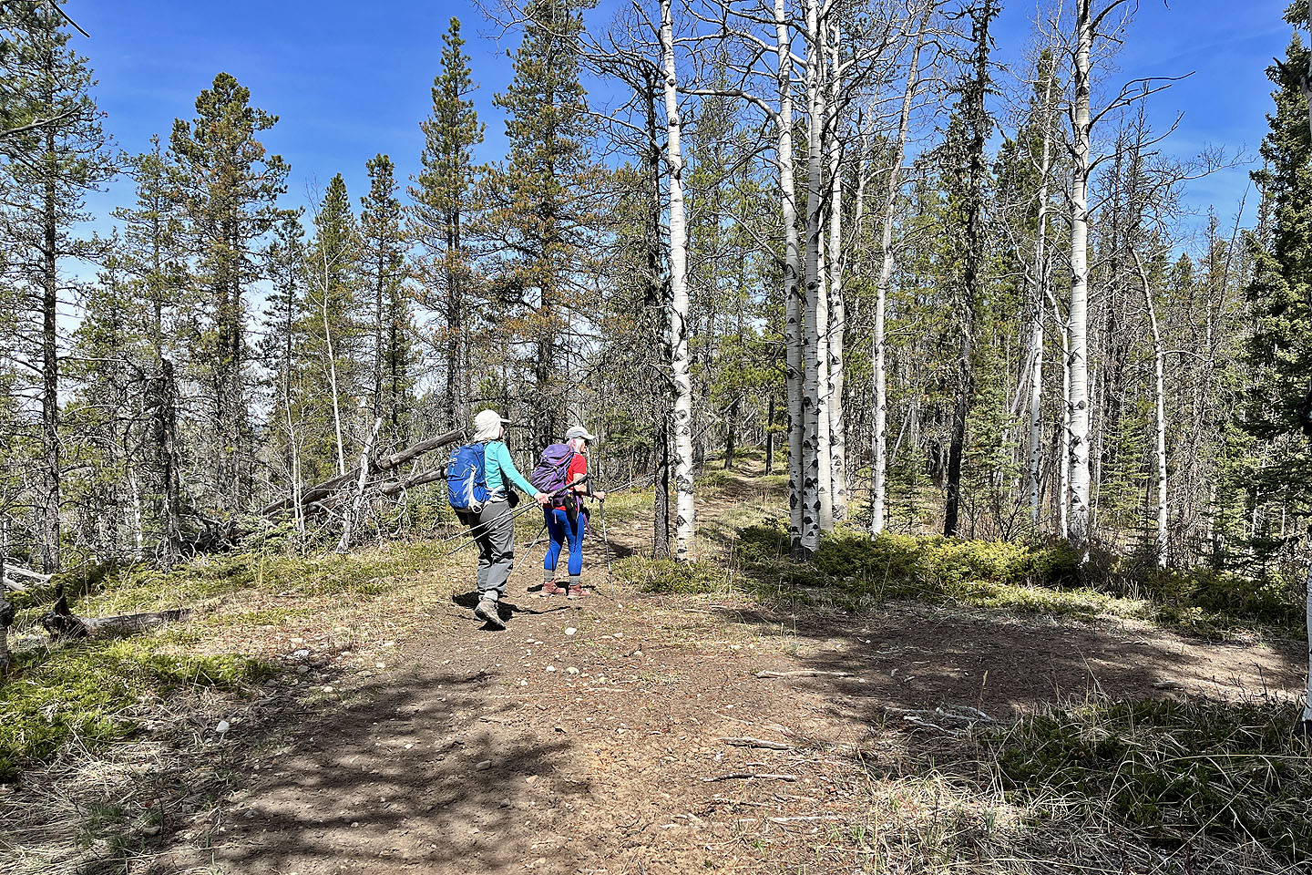
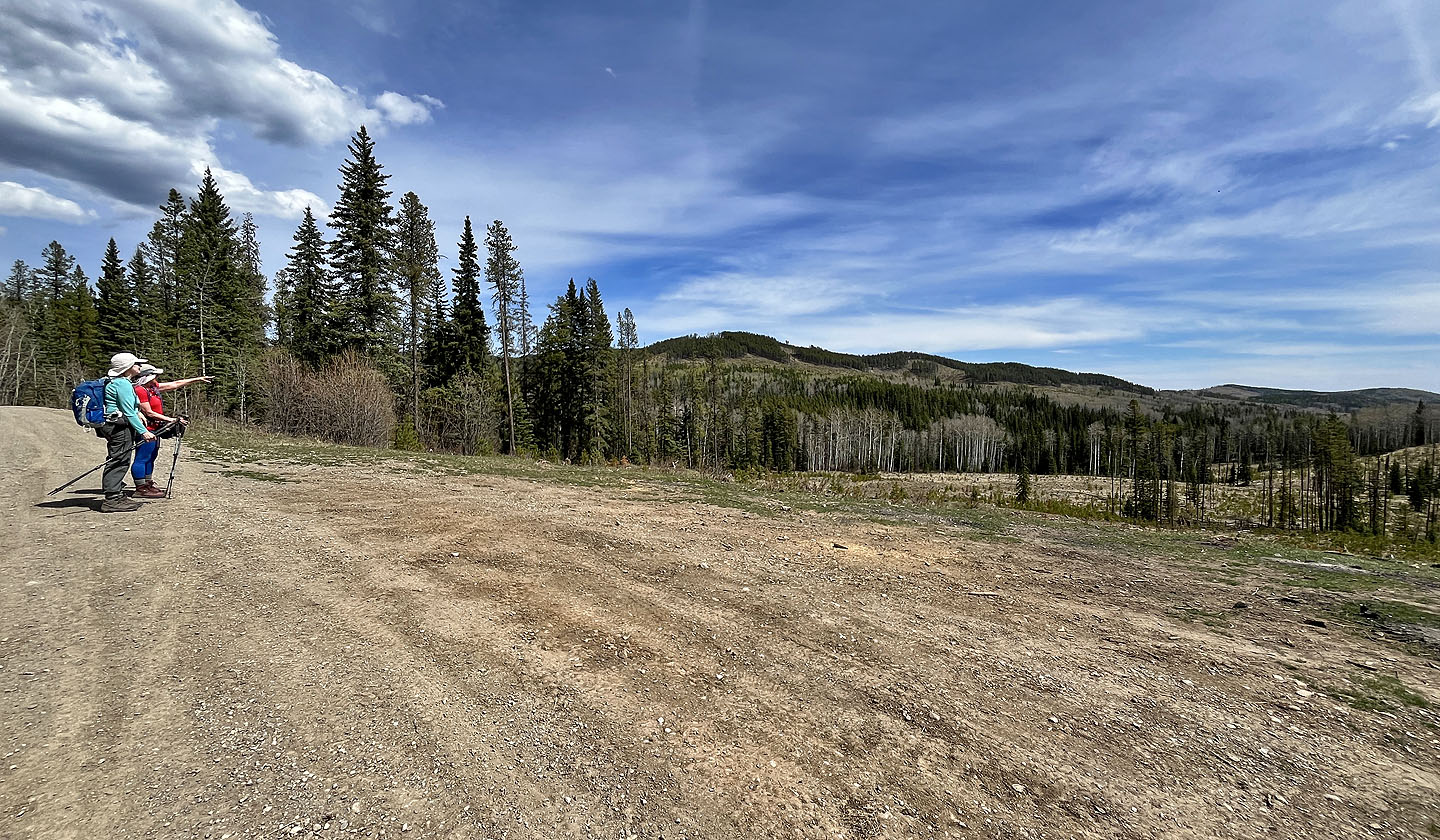
We entered the trees and hiked along the ridge trail. The forest cut off views except for a break that allowed us to gaze down at the sylvan valley on our right. We spotted wild horses, barely visible in the trees, grazing 200 m distant.
Eventually we reached the summit, where half was in trees and half offered a view of distant mountains. After a break, we continued on a path down the end of the ridge. We followed unexciting roads back to our car.
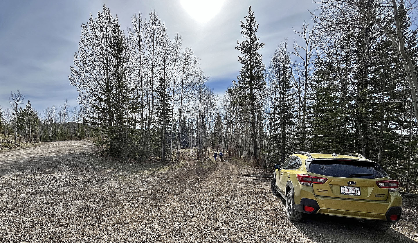 We started on the road on the right and returned on the road left
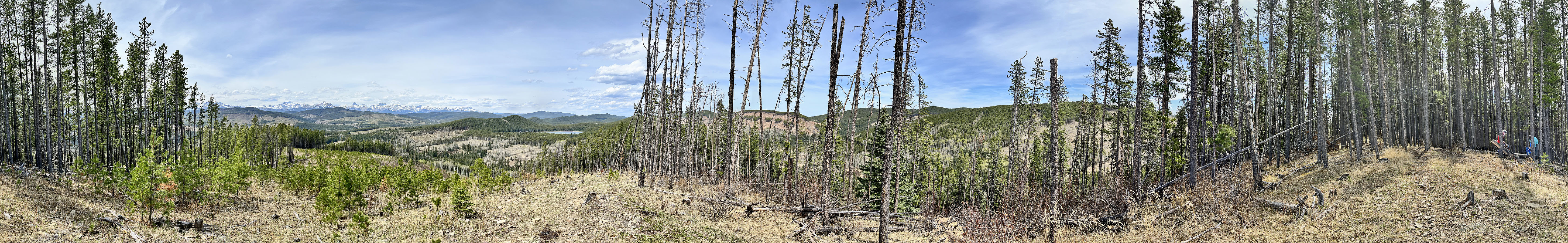
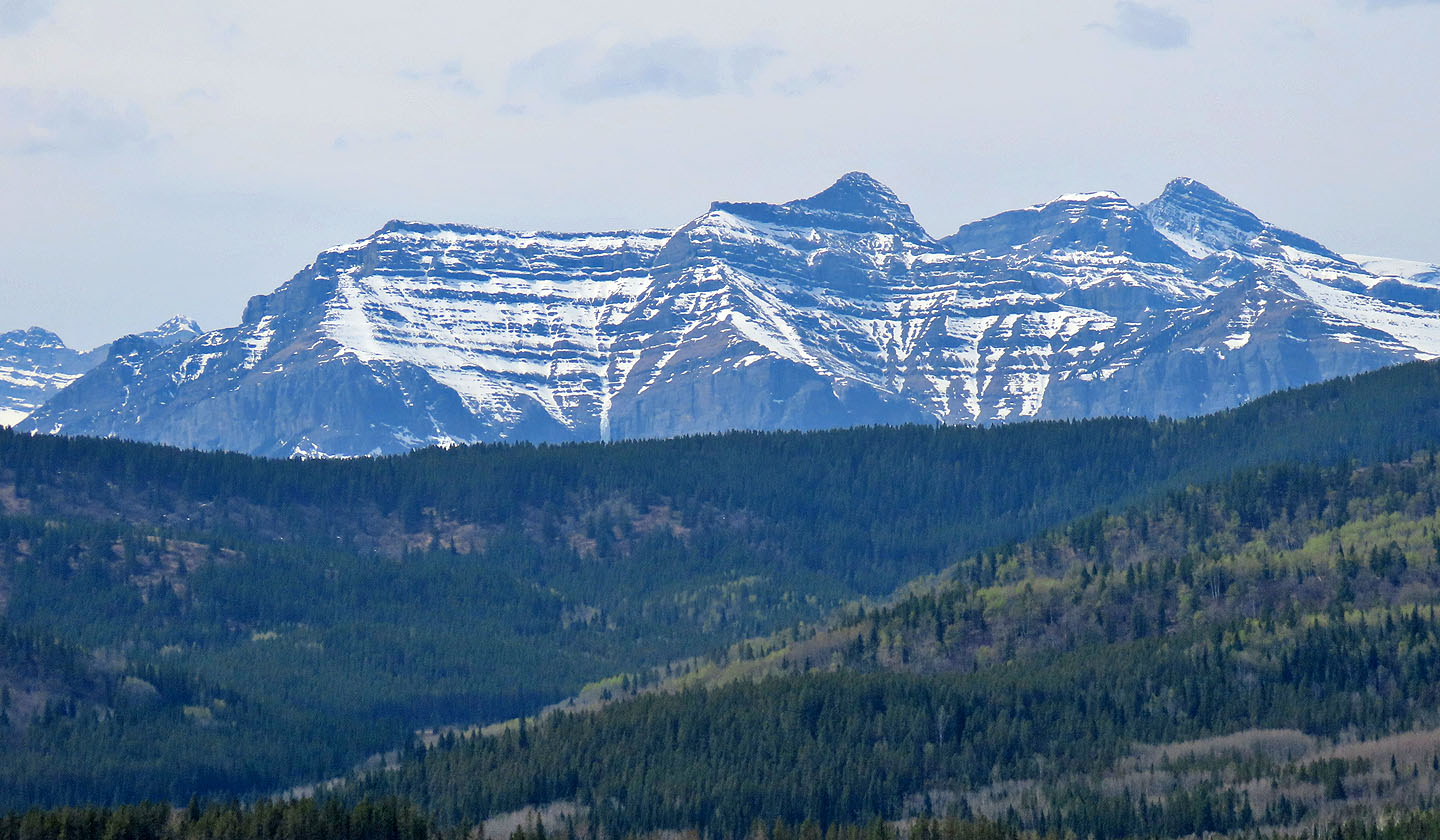
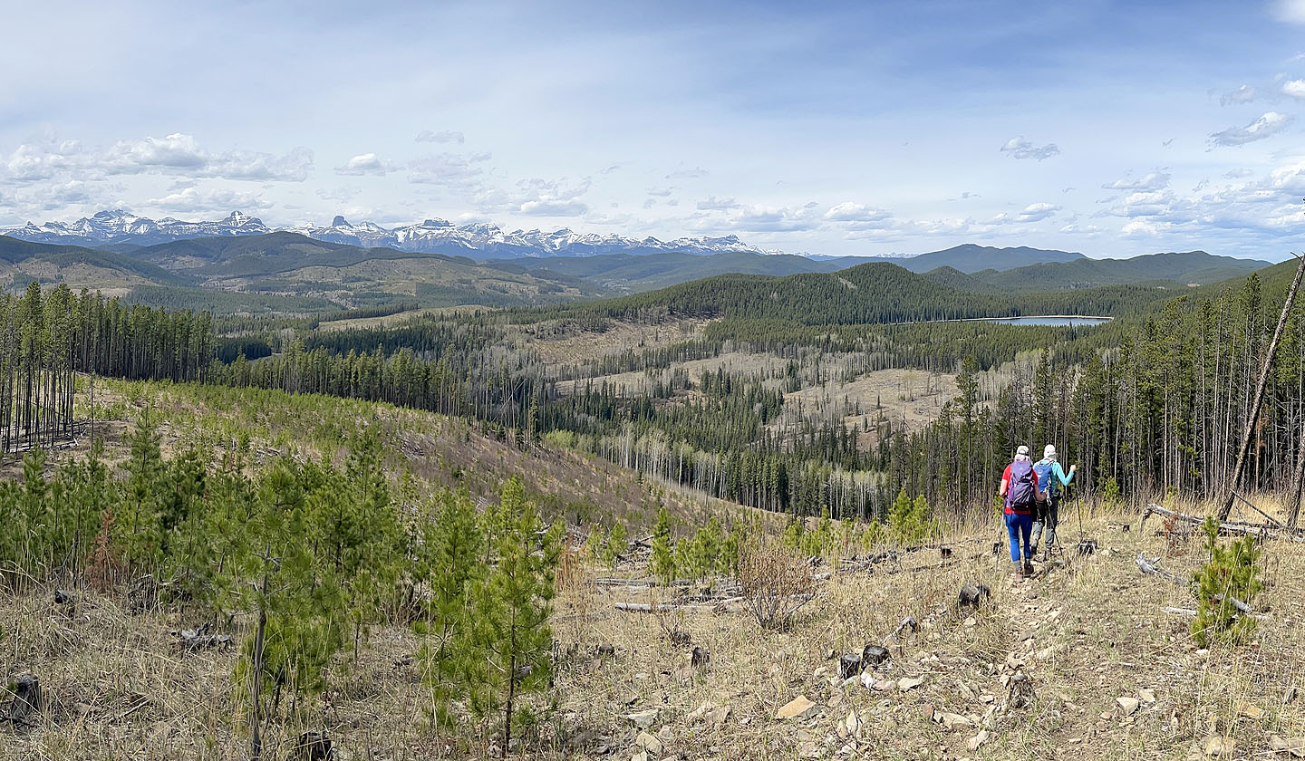
 Sand Ridge stretches across the skyline
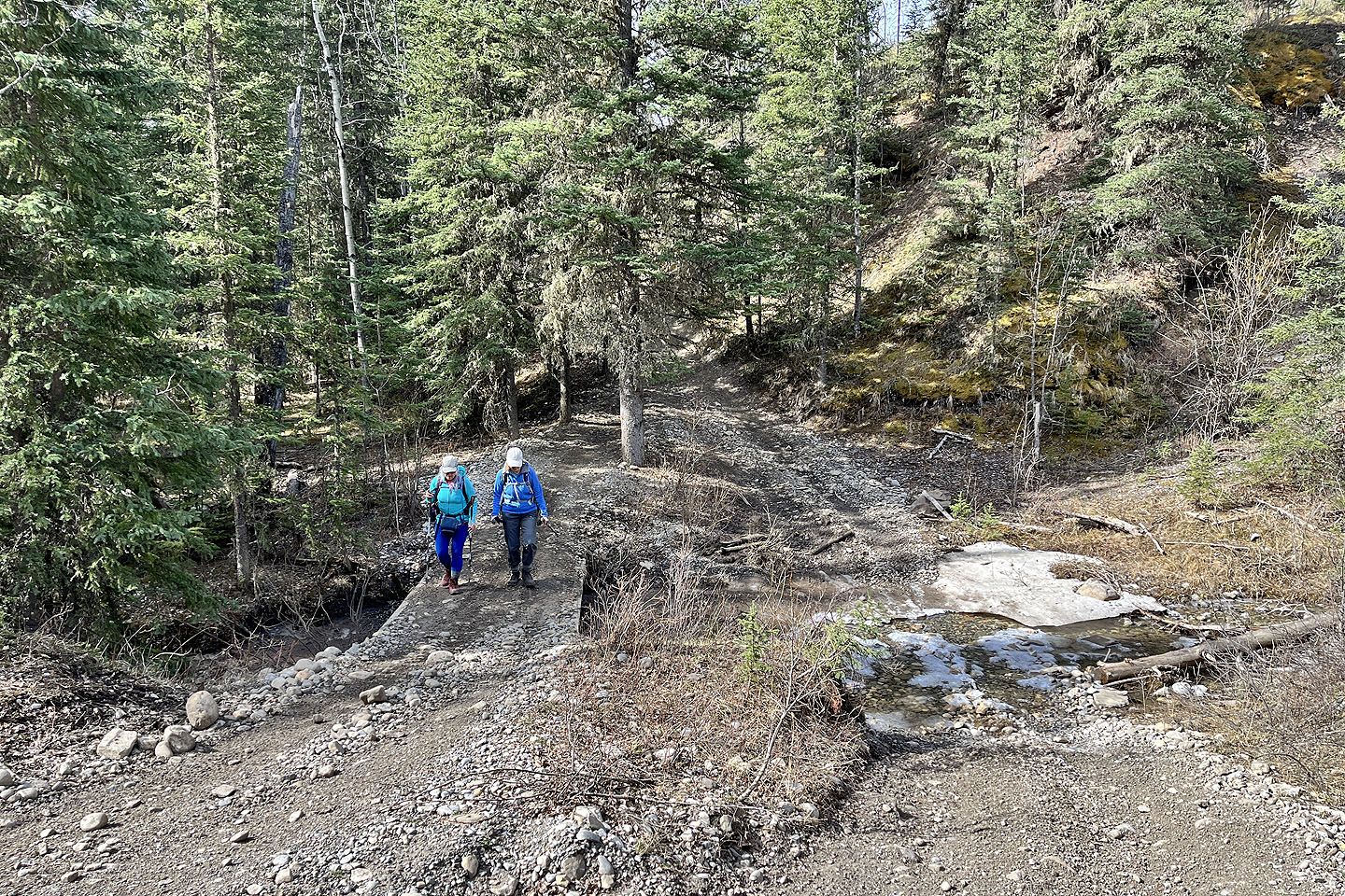 The trail loses 50 m before crossing Waiparous Creek
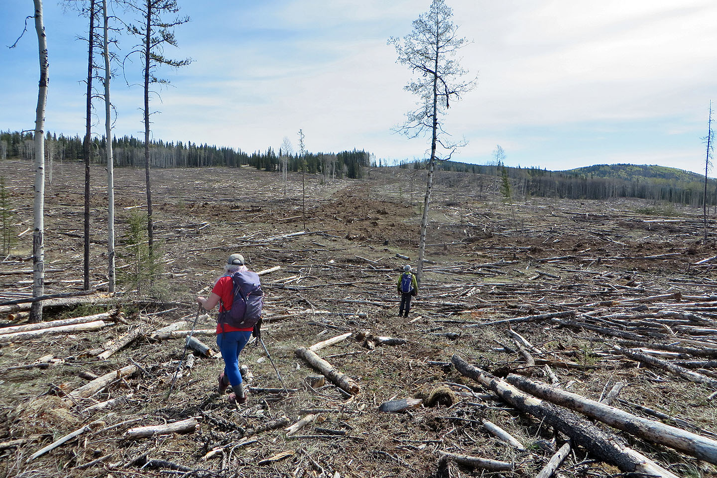
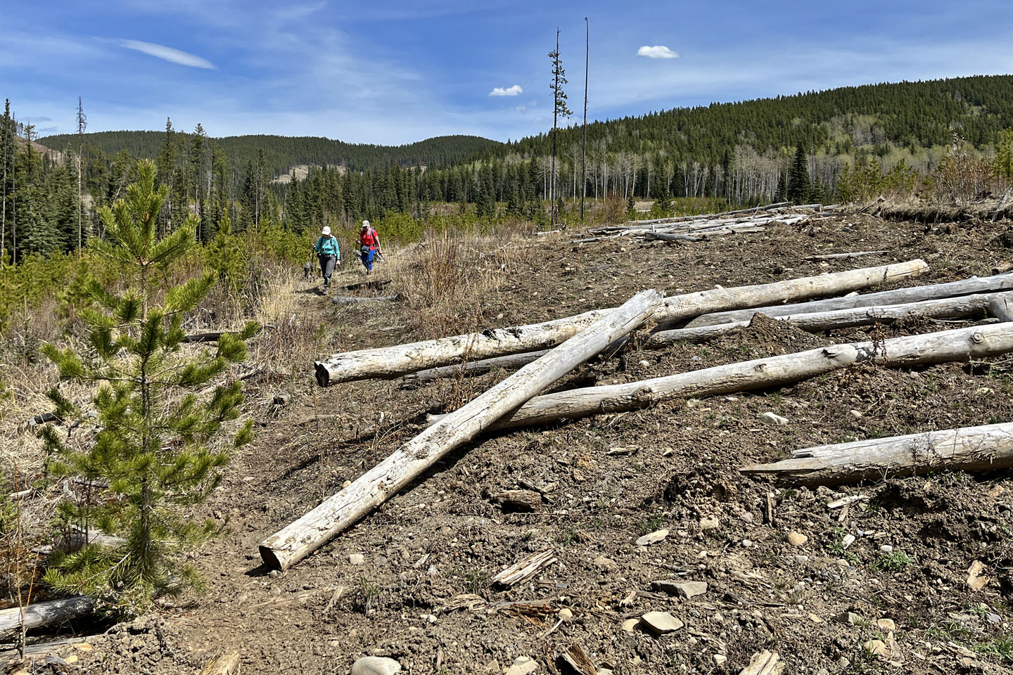
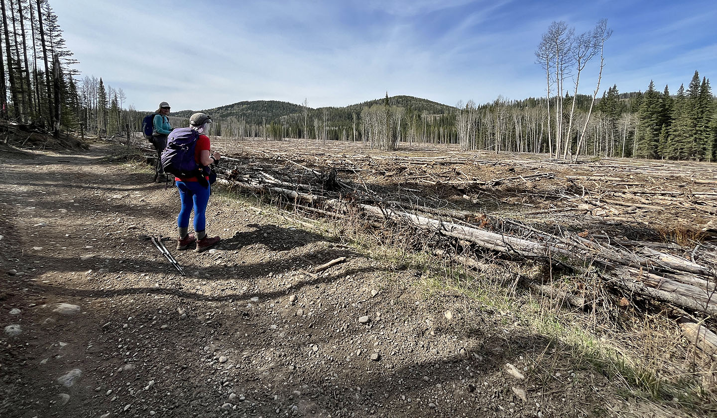 We passed extensive logging
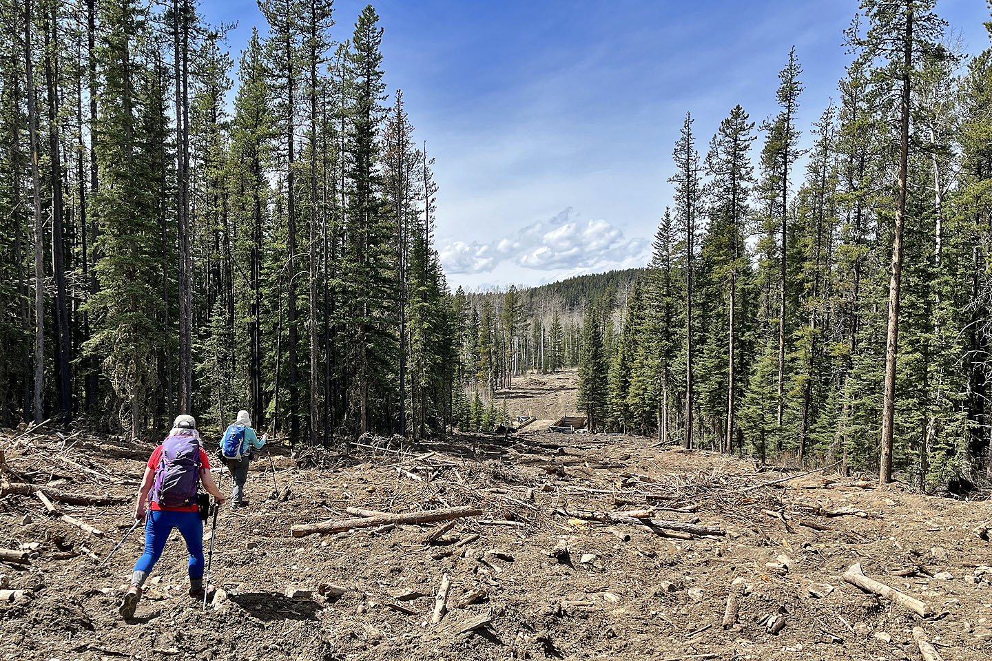
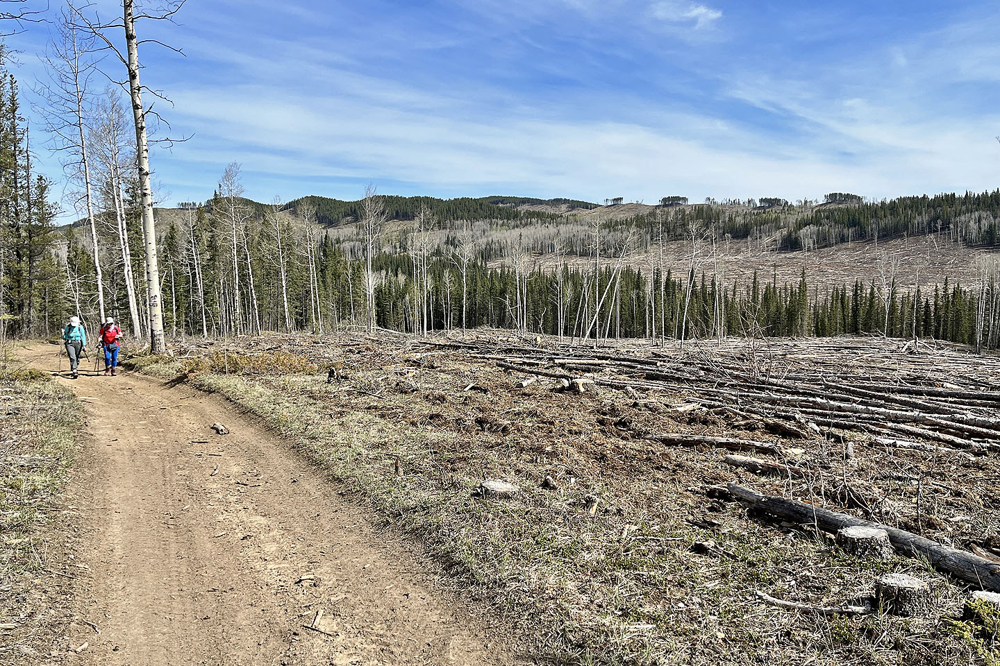 Extensive logging appeared on either side of the road
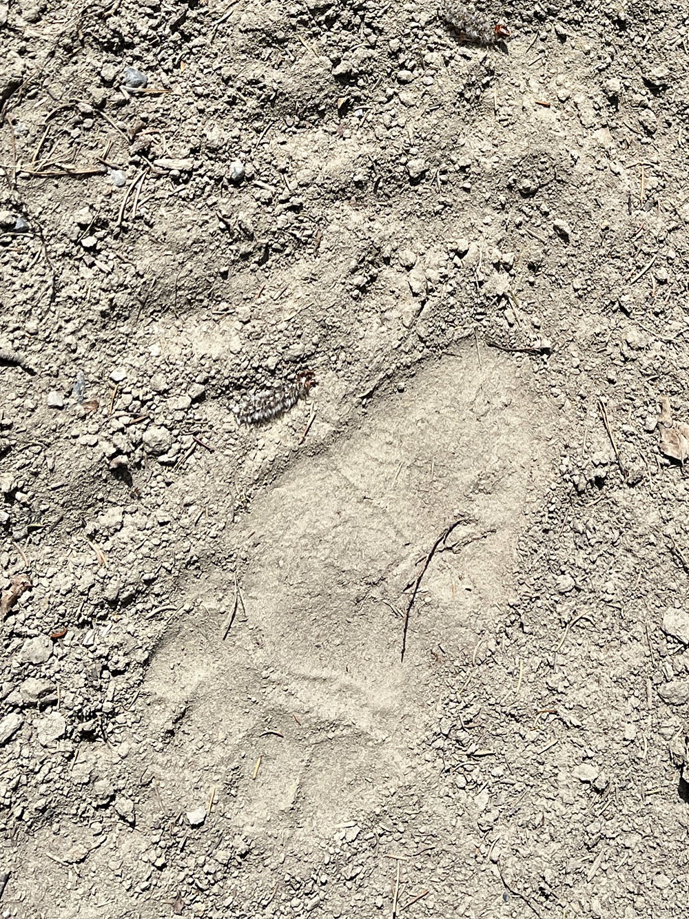
The fine details in bear prints suggested they were fresh. Fortunately,
they were headed the other way.
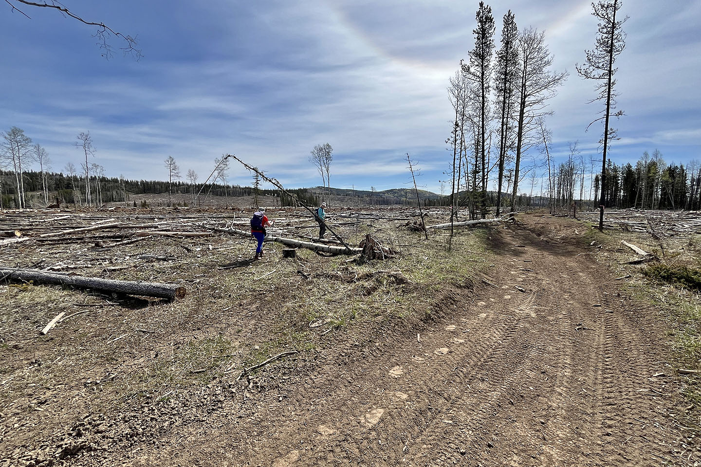 Perhaps it was a good trail at one time, but it was now lost to logging. Note the bear tracks.
 We headed to the break in the trees above Christine
 Entering the break in the trees. The dunes are ahead.
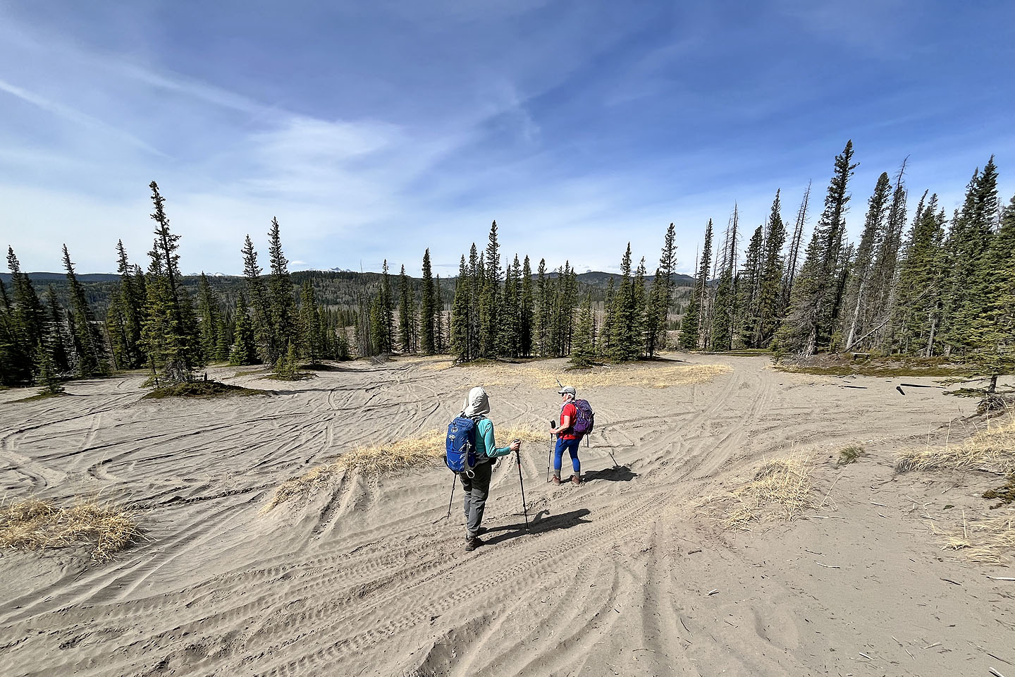 Tracks in the sand spoiled the scene
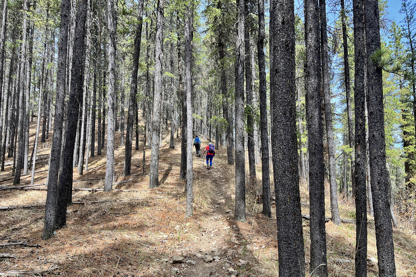
The trail continues up the treed ridge
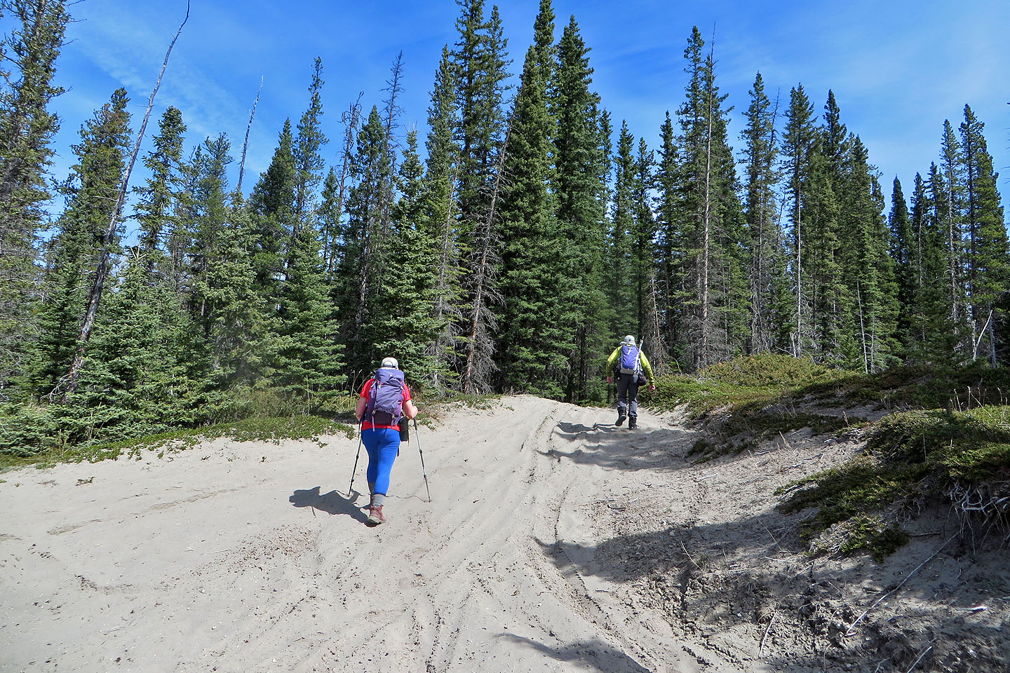
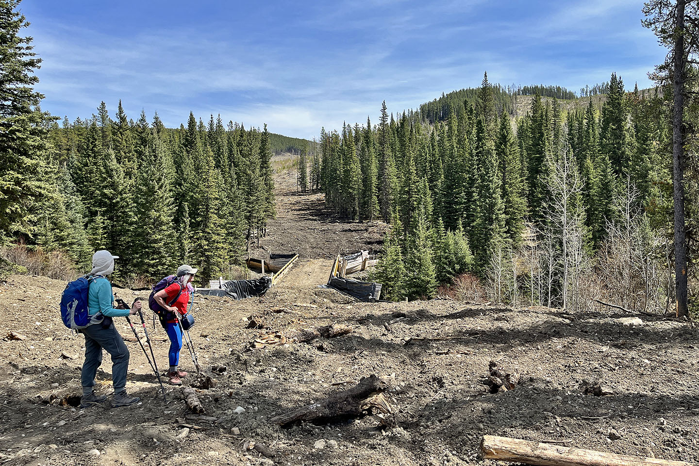
 We soon passed a junction: a short trail loops back to the dunes
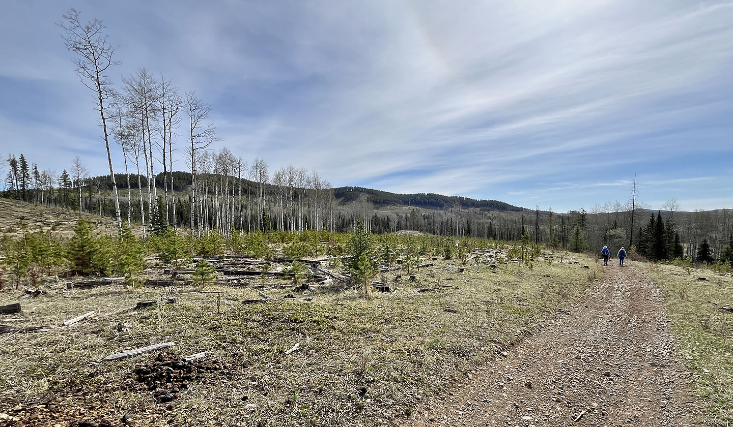
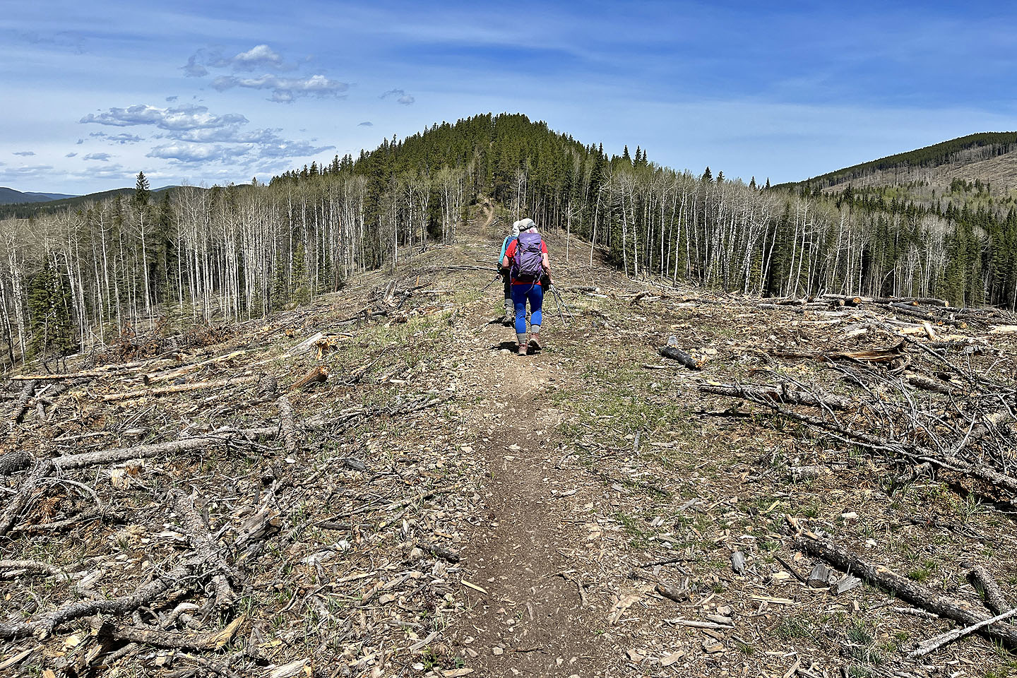 The ridge was treed except for a logged section
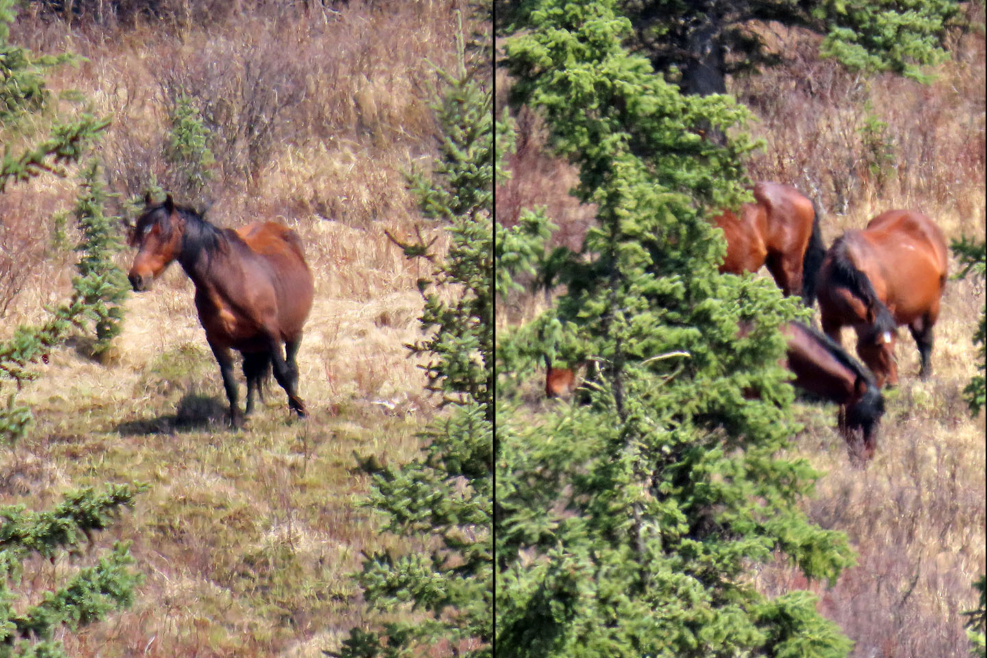 We spotted wild horses in the valley on our right, 200 m away
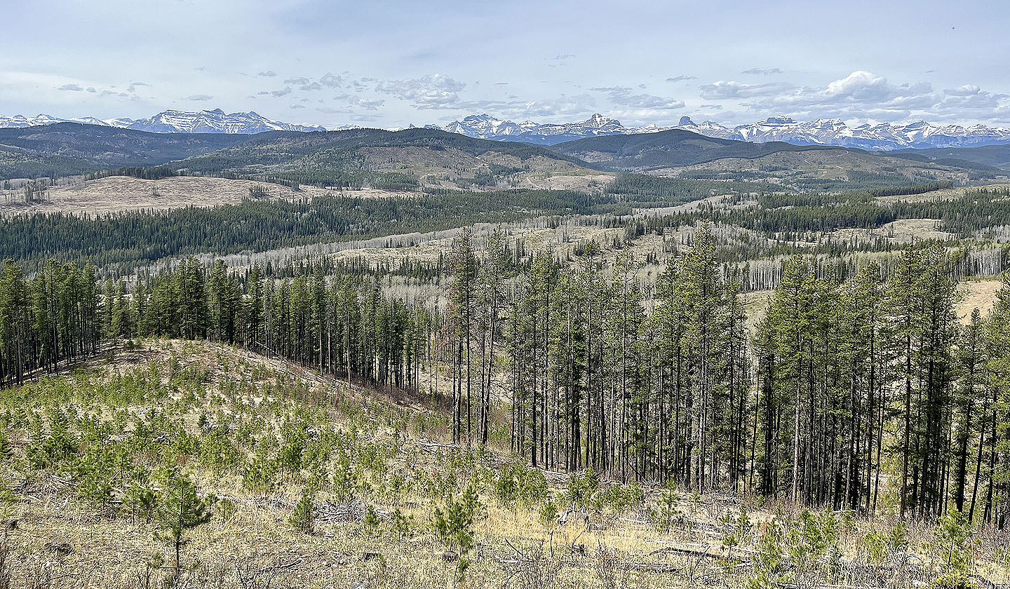 Looking west at the mountains
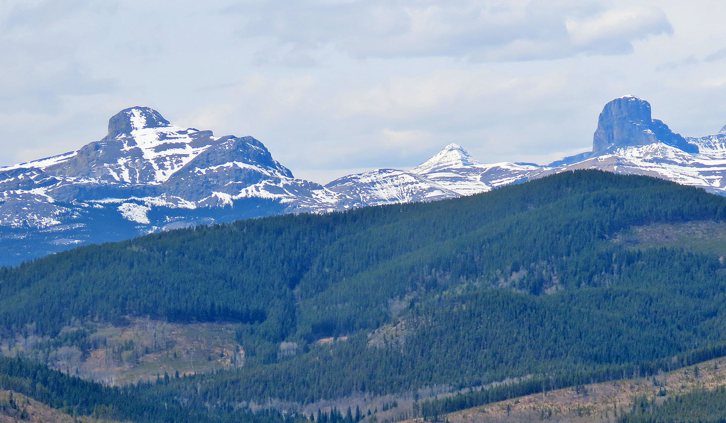 Lost Knife Hill in is the foreground. Black Rock Mountain and Devil's Head lie behind it.
 Orient Point
 Ghost Peak
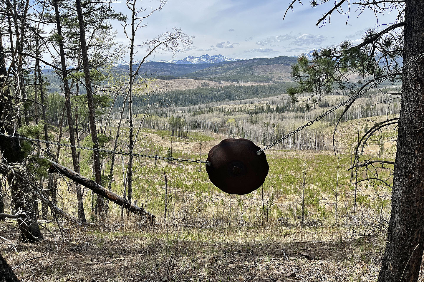 This appears to be a target yet it bore no marks and was impractically placed on a steep slope
 Heading to the summit
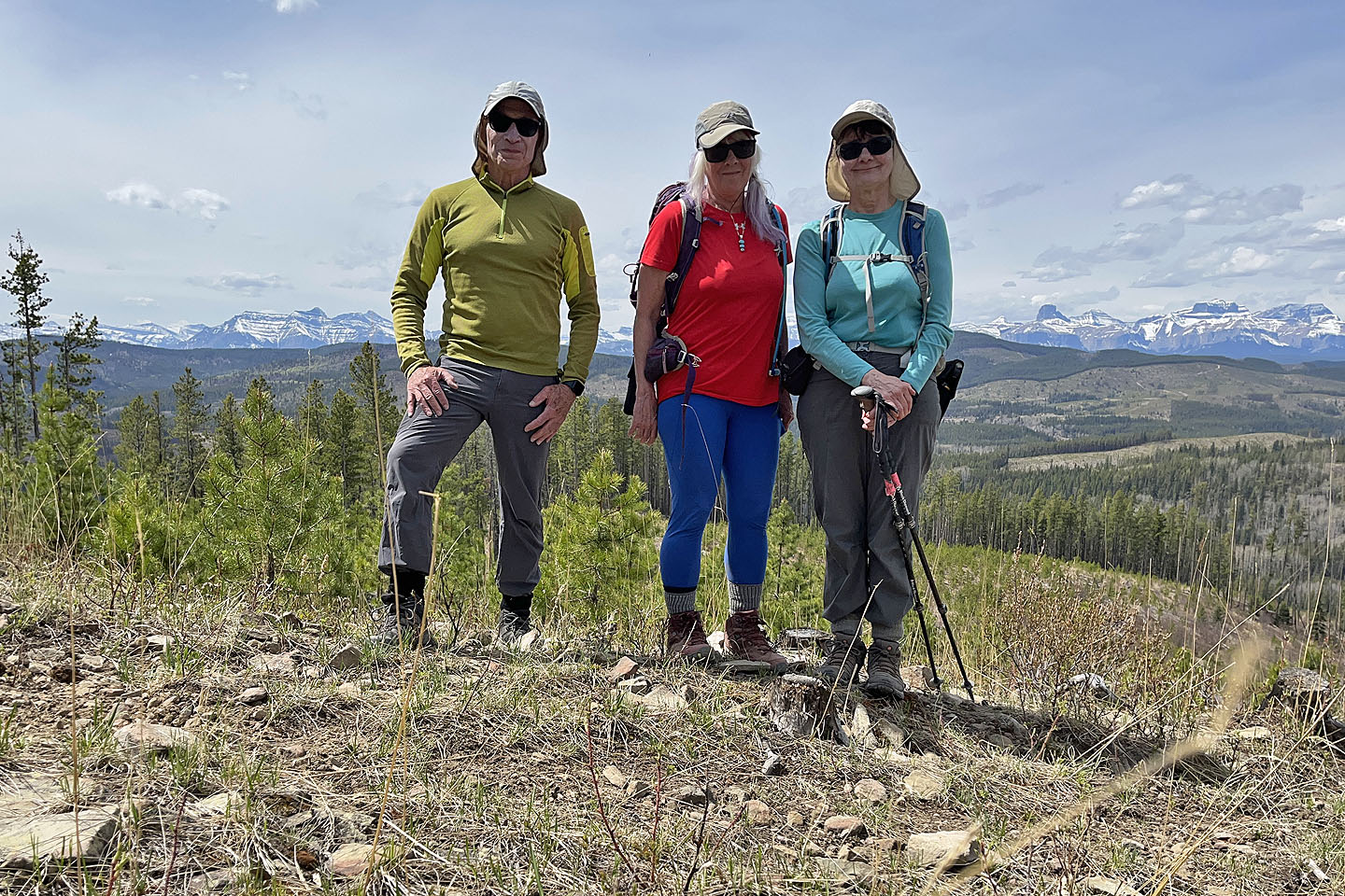 Me, Christine and Dinah on the summit
 Heading down the north end of the ridge. In the distance above Cow Lake is Mockingbird Lookout.
 After coming down a trail, we followed a decommissioned logging road
 We continued to a bridge ahead
 Looking back at the summit
 We still had a kilometre of road ahead of us
 A final look at Sand Ridge
82 O/6 Lake Minnewanka