bobspirko.ca | Home | Canada Trips | US Trips | Hiking | Snowshoeing | MAP | About
Bull Creek Hills
Kananaskis, Alberta
August 22, 2020
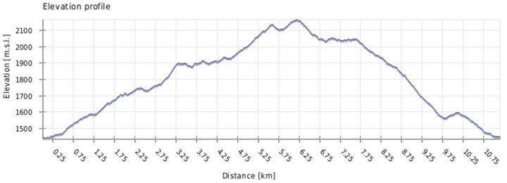
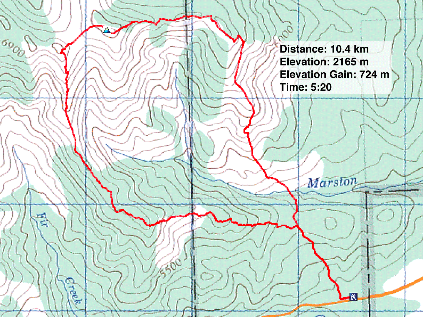
Distance: 10.4 km (6.5 mi)
Cumulative Elevation Gain: 844 m (2769 ft)
I've been up Bull Creek Hills a few times, but always in winter and never with this loop. To understand the loop I used, I need to explain the hilltops as described in Kananaskis Country Trail Guide. Running from west to east, they begin with Top 1 and end with Top 5. Top 4 is the highest point. The loop is a lollipop loop beginning with an out-and-back trail to Marston Col. From the col, it's an offtrail hike to Top 3 and on to Top 4. From 4 to 5 and back to Marston Col, it's mostly a trail.
I parked at the Kananaskis Country sign and walked 100 m up the road to the trailhead. I hiked one kilometre to the col, turned left and started up a grassy slope. After that, I followed the ridge to Top 3.
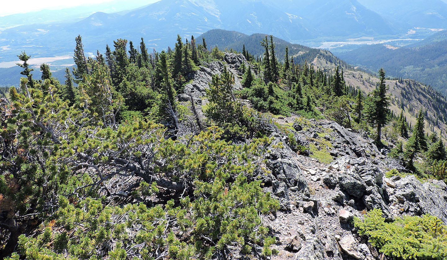
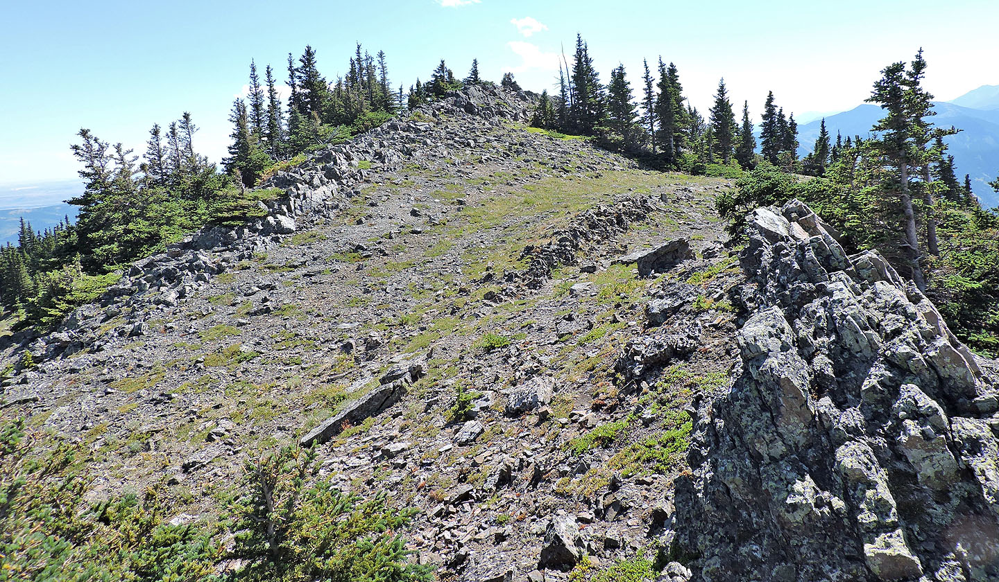
Routefinding wasn't easy as the broad ridge presents various possibilities, especially when hiking in the trees. Higher up, the ridge becomes better defined and partly open, a pleasure to hike until the last section to Top 3. Here the ridge becomes a sharp crest jammed with rocks and trees. I soon abandoned the chaotic jumble and followed the meadow on the right side.
The rest of the trip was easier. From 3, I hiked the expansive meadow to Top 4. After taking a break by the summit cairn, I started down the trail to Top 5. It's not a perfect trail. I missed hidden corners only to backtrack to get on the trail. In some places, there was no trail at all, such as the meadow covering Top 5, but I quickly found the trail at the far end.
From 5, I followed the trail as it snakes down to a valley, crosses a dry creek, and climbs Marston Col. I was soon back at the car. I enjoyed my hike up Bull Creek Hills, and that's no bull!
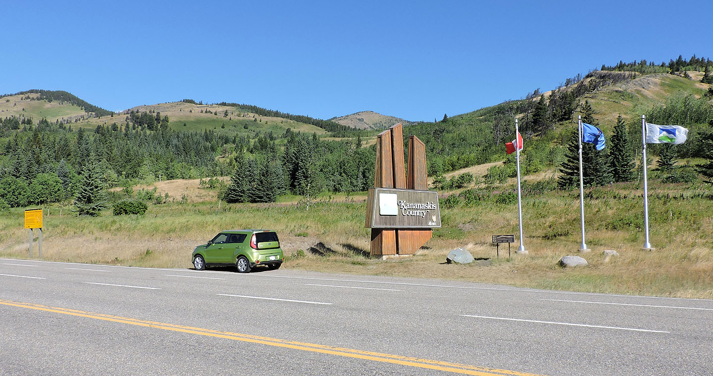
The trailhead is 100 m west of the Kananaskis sign
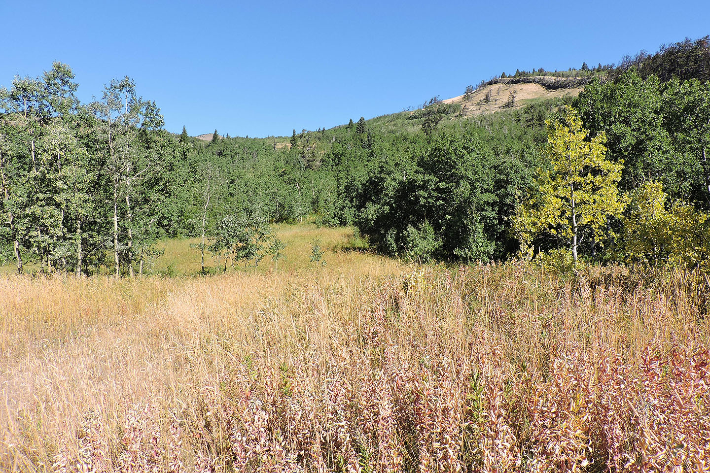
The trail begins in tall grass and leads to Marston Col
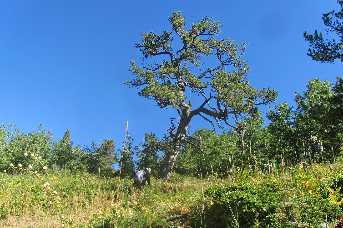
Soon after starting, I passed under a towering pine
View from Marston Col: I turned left for the ascent ridge. The summit is centre and descent ridge is right.

Starting up the ridge
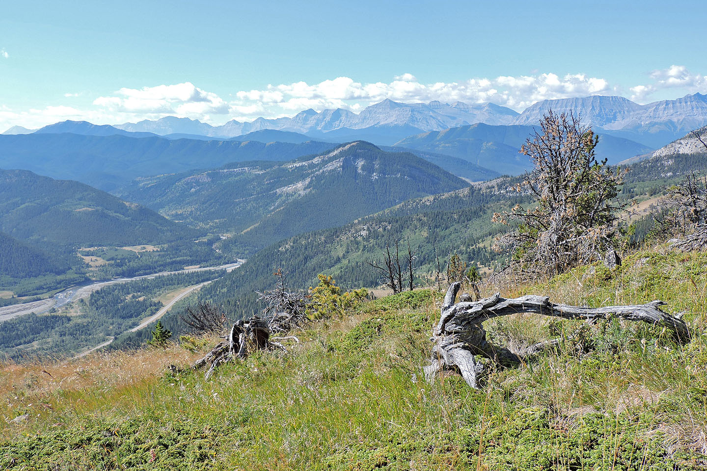
I had a clear view all the way back to the Kananaskis Country sign where I parked. Surprisingly, there were now eight cars parked in front of my car. But half hour later they were gone, and my Soul vehicle was the sole vehicle.
 I expected to scramble or bushwhack, but after skirting the rocks on the right, I found a brief pathway in the trees

Here, the ridge drops down
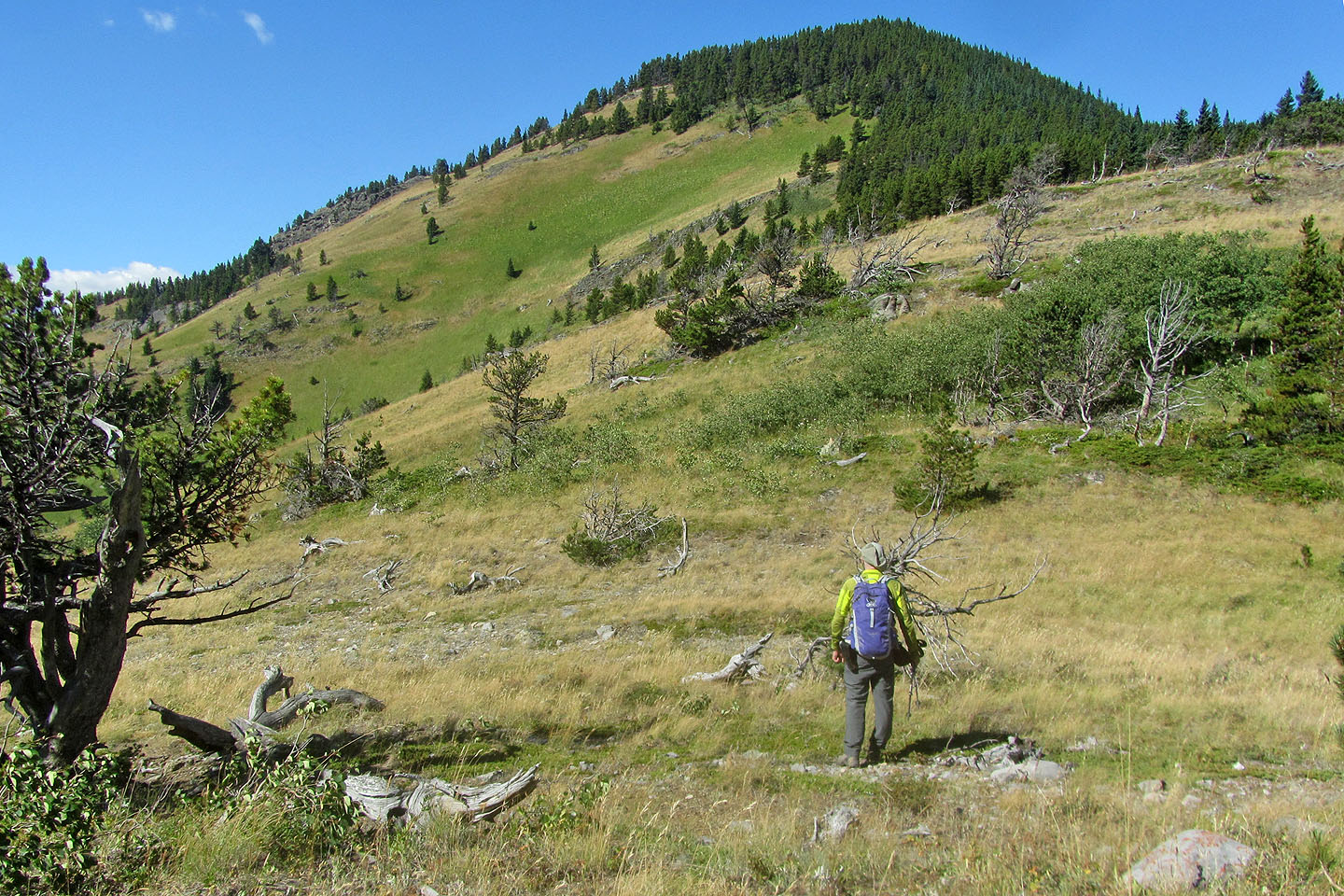
Looking up the ridge after dropping down. Near the top of the hill, the slope became quite steep.
Looking back after climbing well up the slope
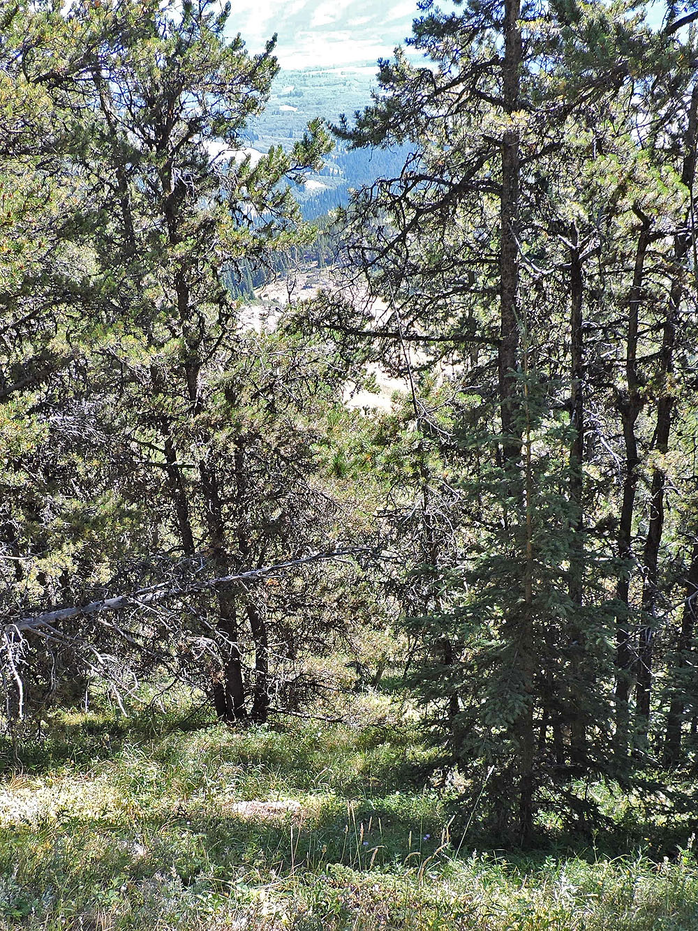
Looking down the slope through the trees after a steep hike
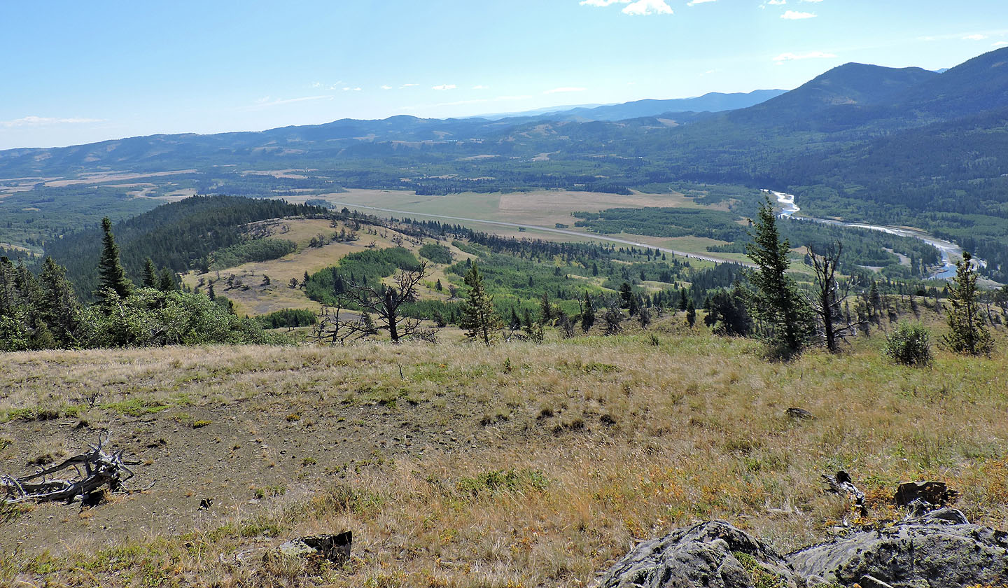
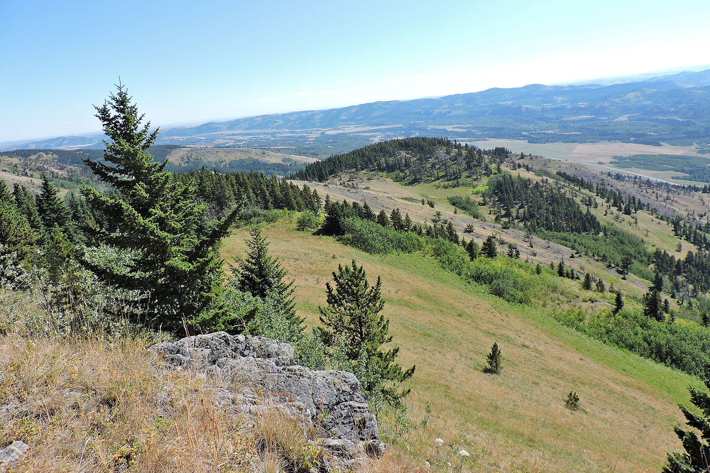
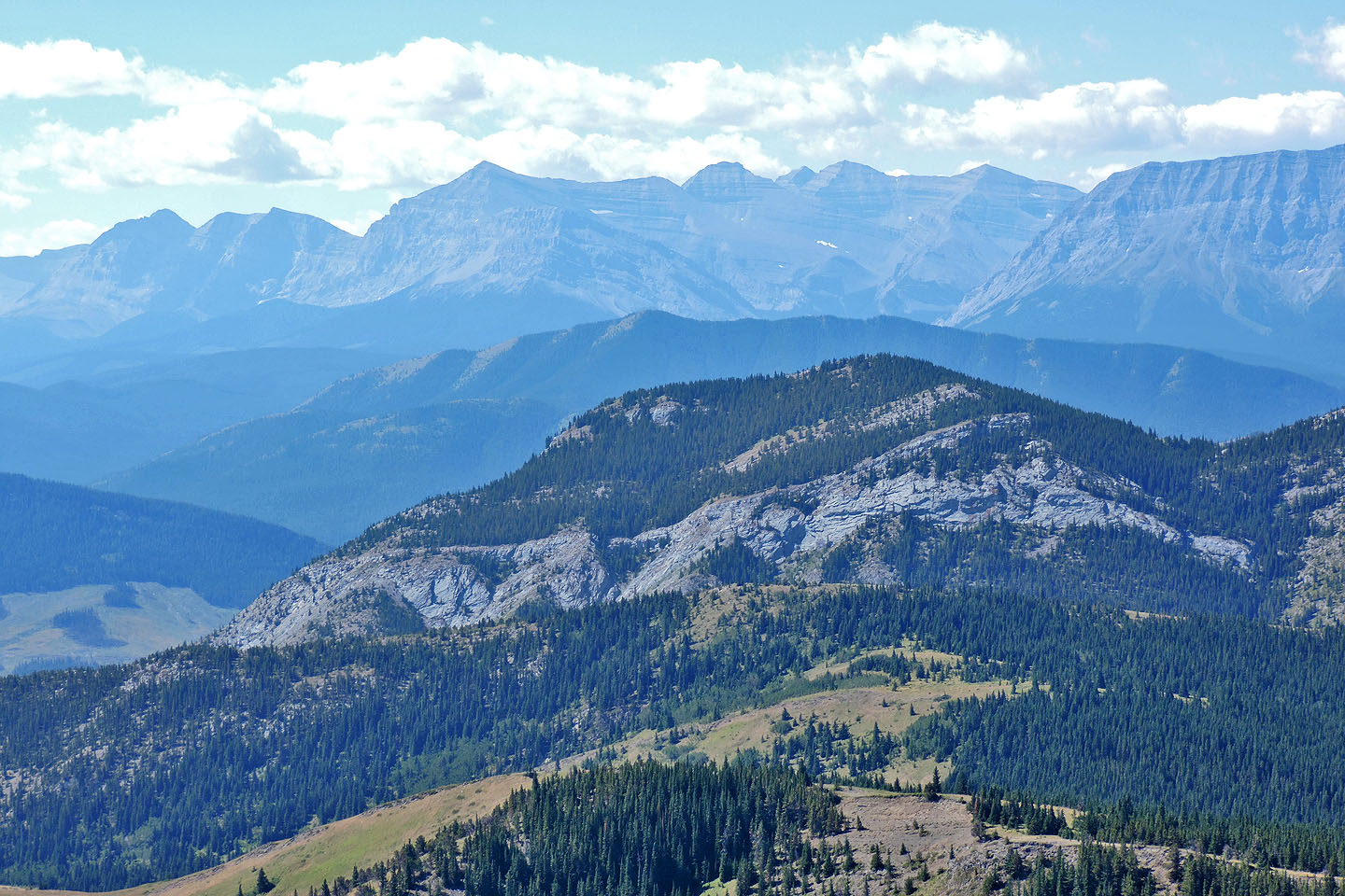
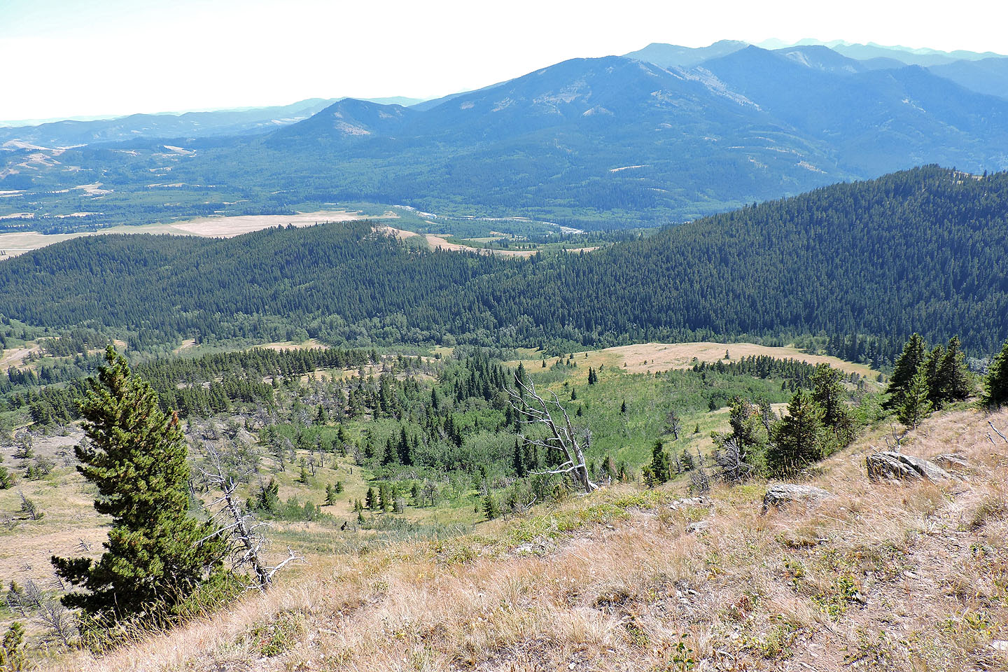
After coming out of the trees, I can see Zephyr Creek Hills on the left
Mount Mann in the centre
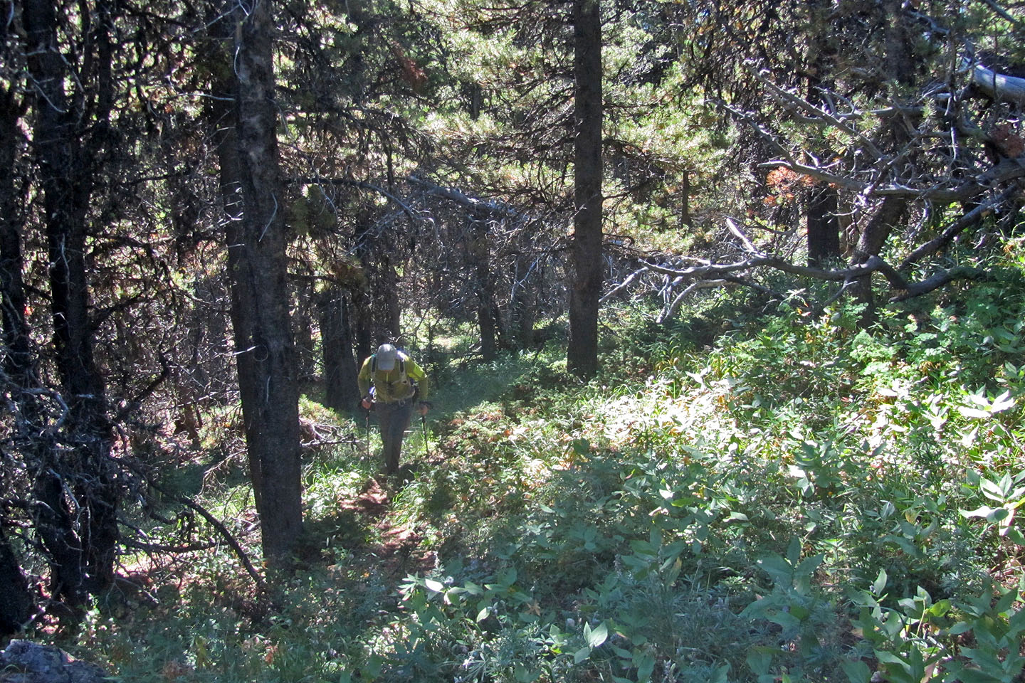
After entering the forest, I found a trail. It didn't last long, but I found other short trails as I ascended the ridge.

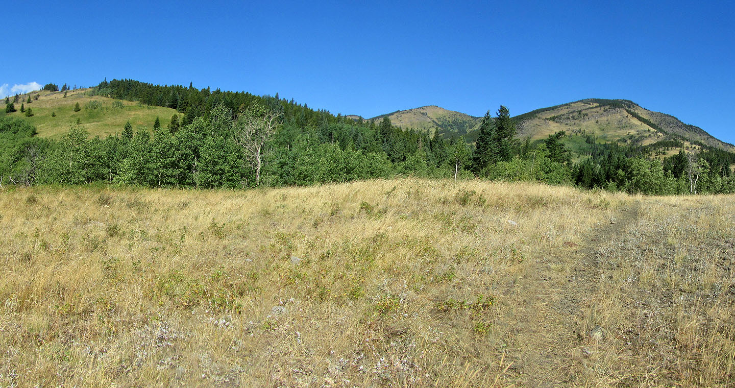
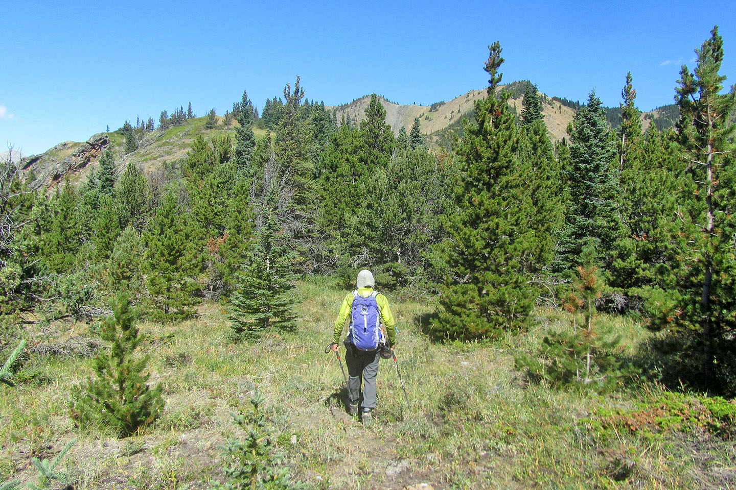
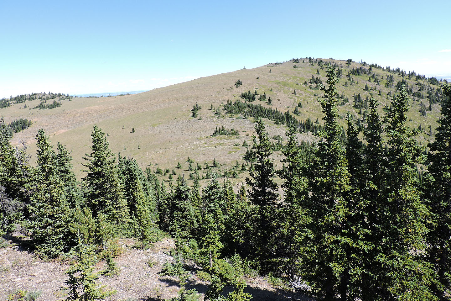
Tops 2, 3 and 4 appear ahead
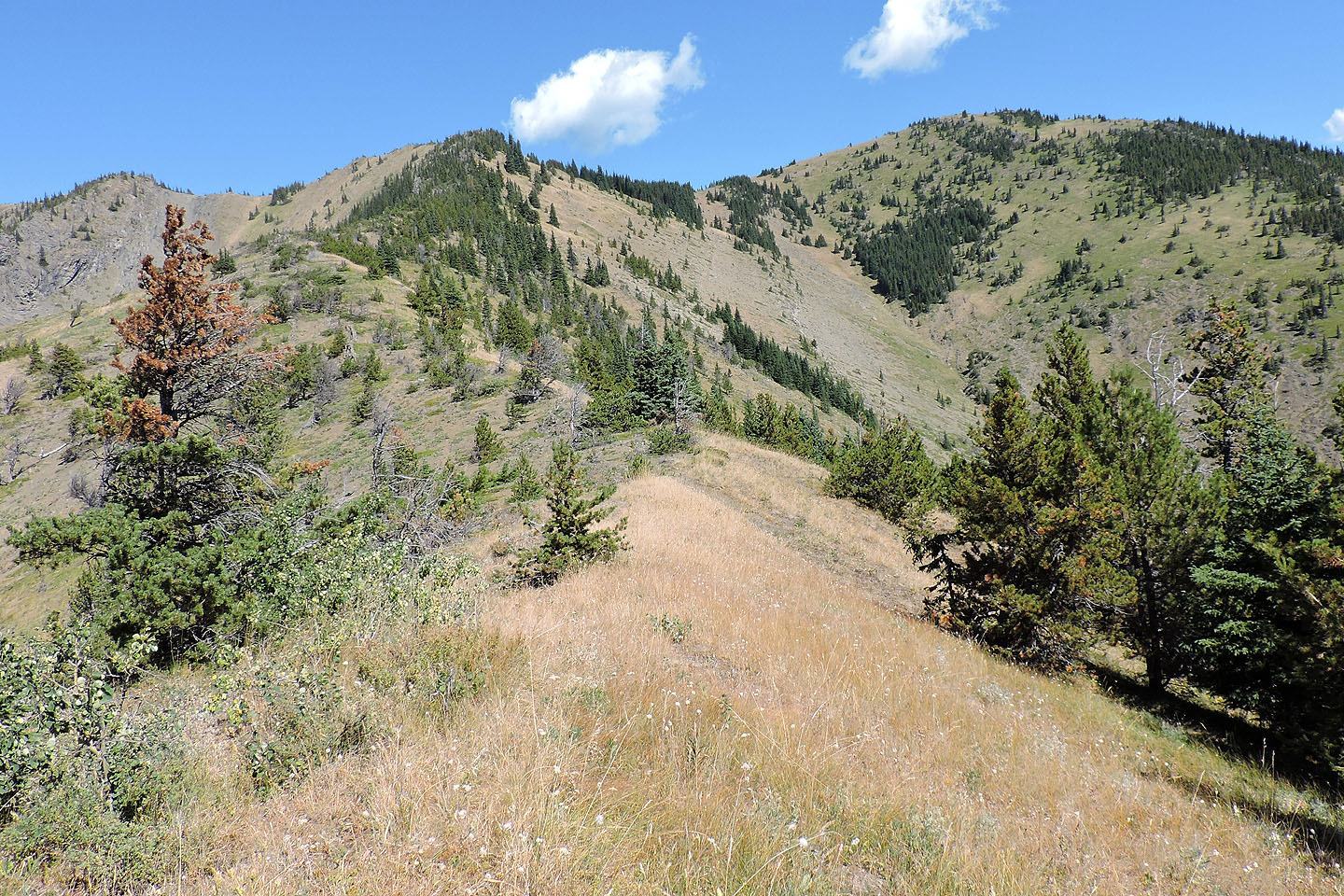
The next ridge section is a mix of meadows and forest
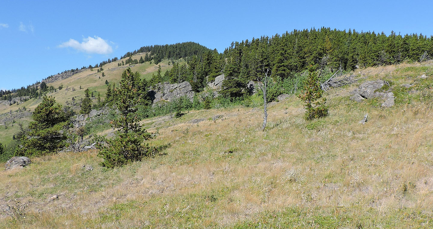
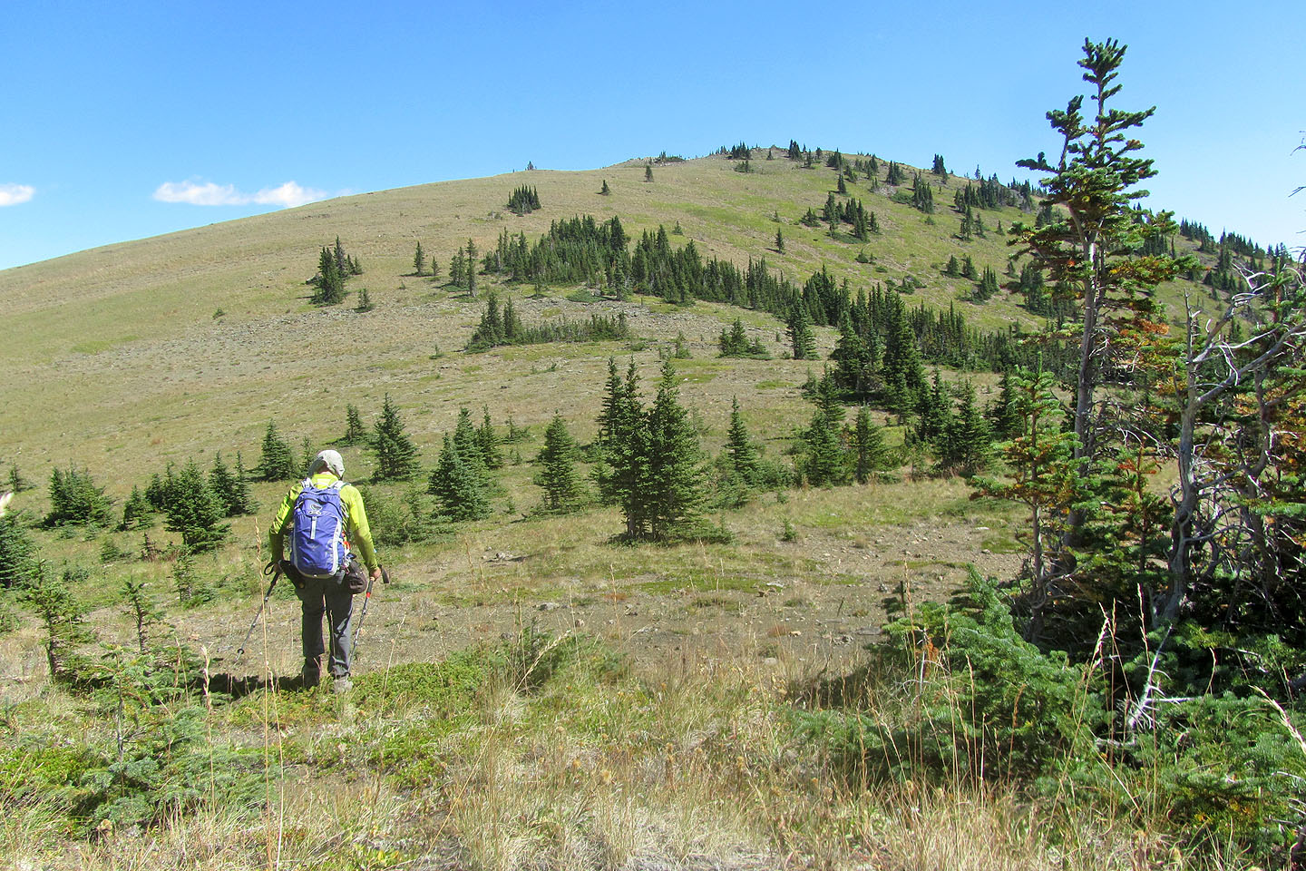
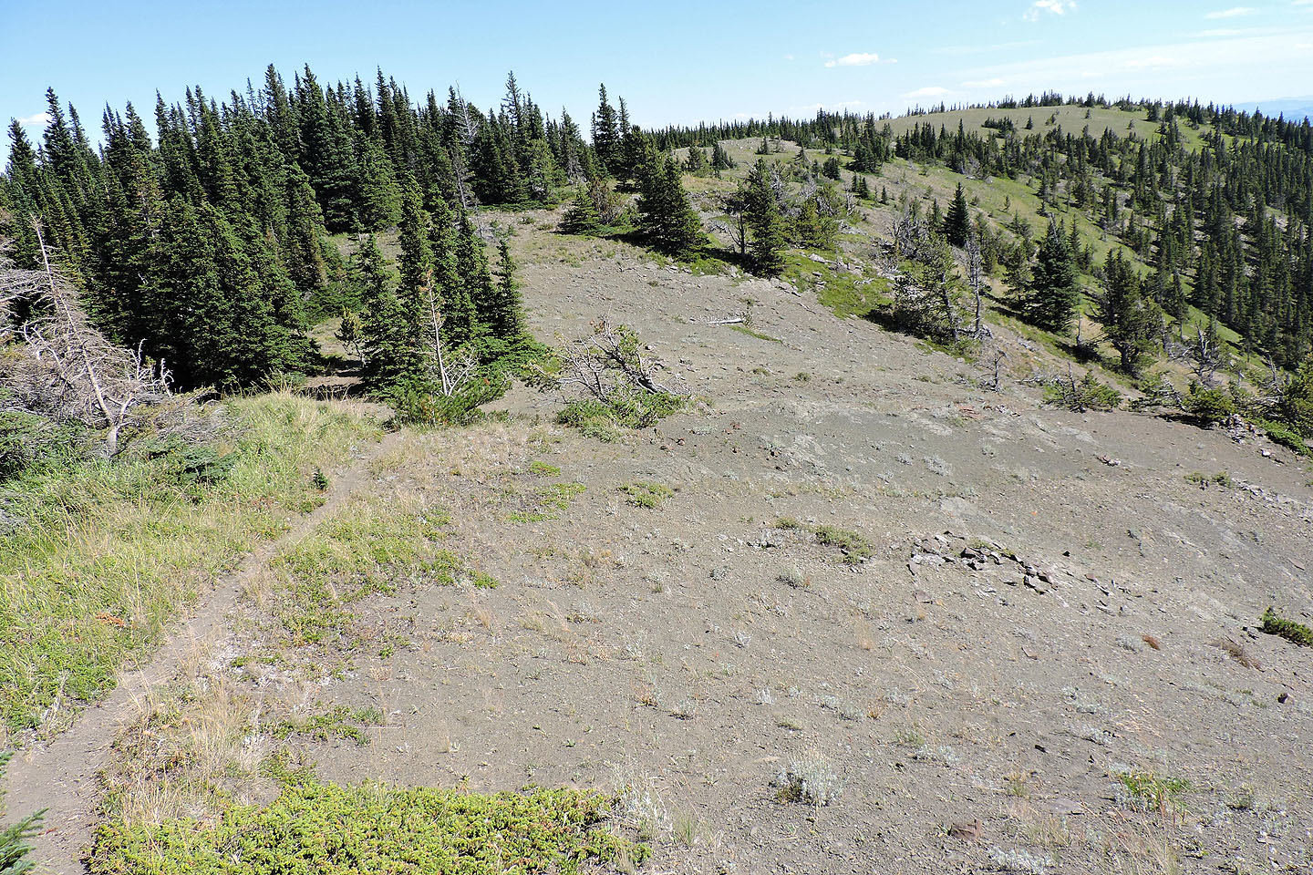
The ridge below Top 3 is treed and, it turns out, quite rocky
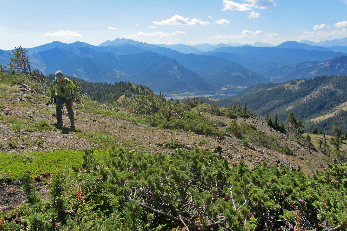
Looking back along the ridge just before I hit the nasty treed section
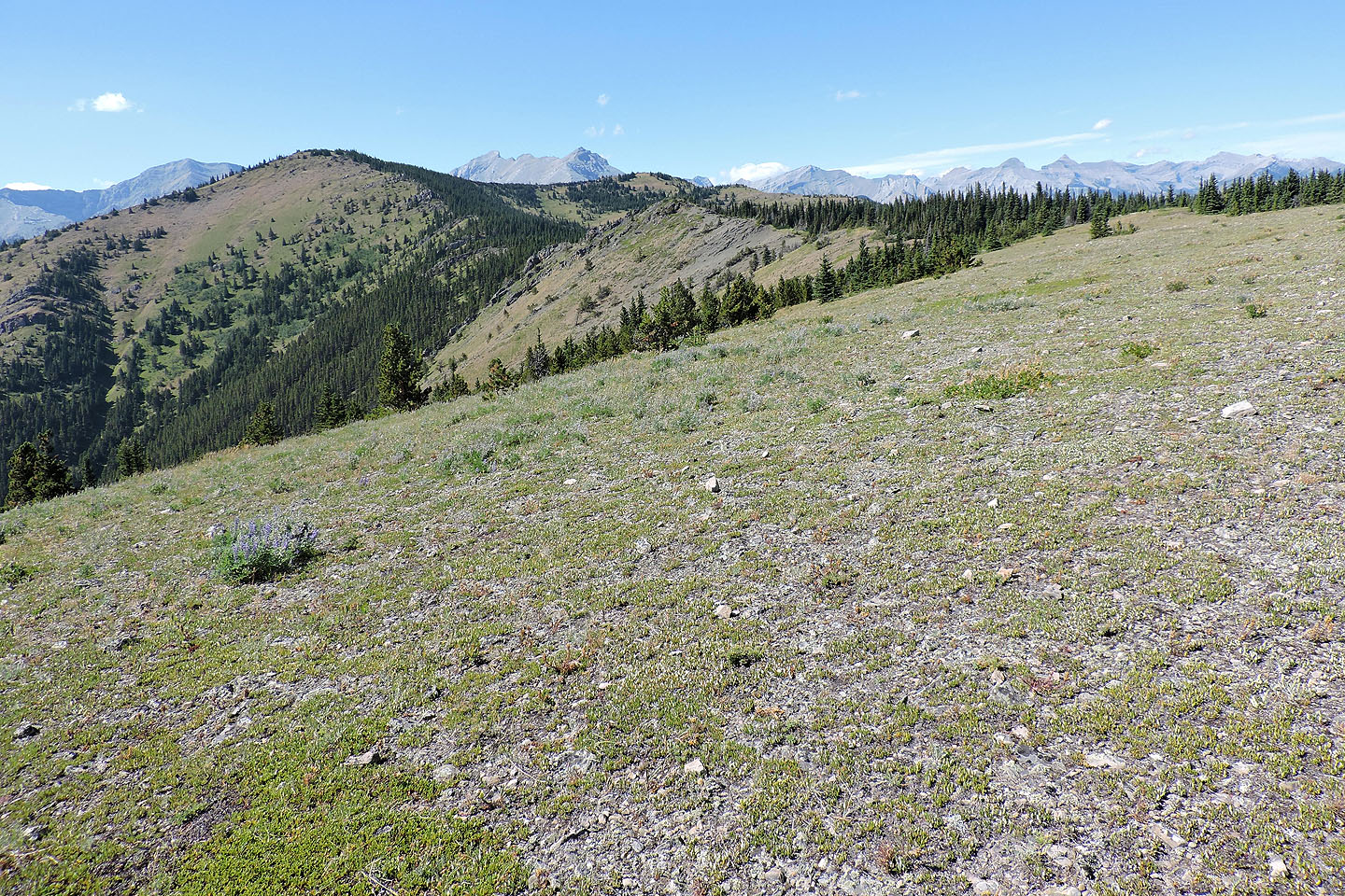
Looking back along the ridge after reaching Top 3
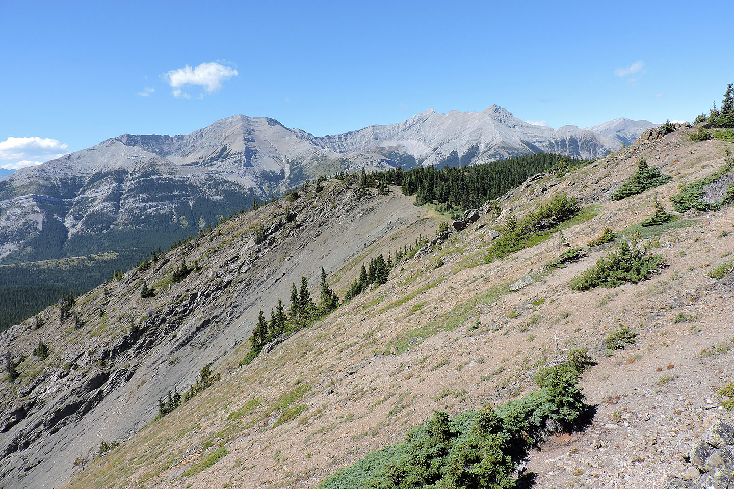
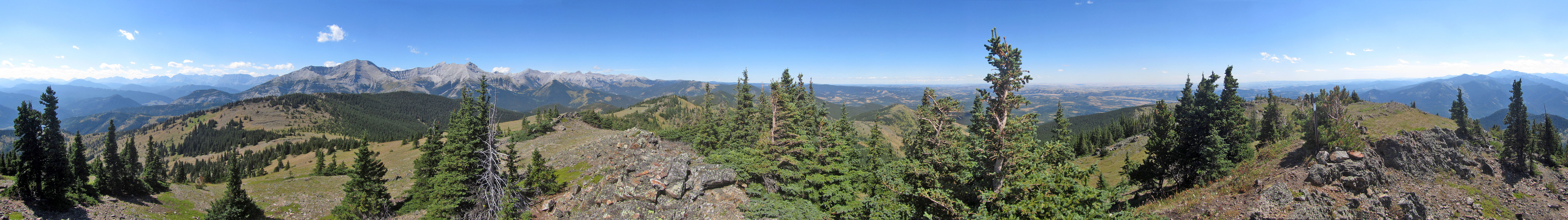
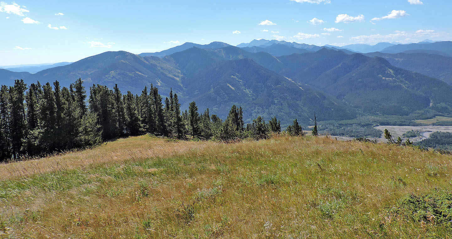
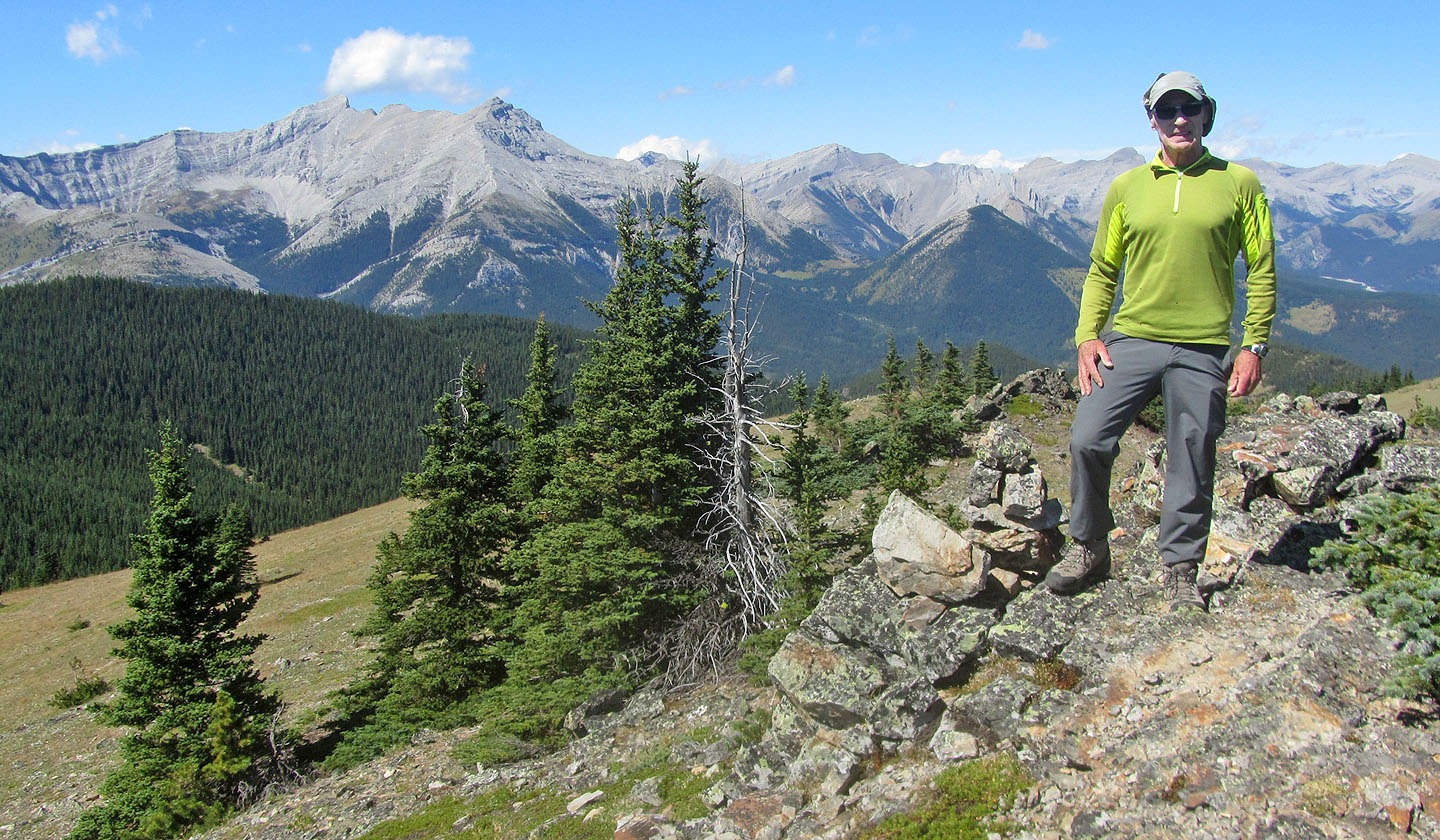
Looking west at Holy Cross Mountain and Mount Head
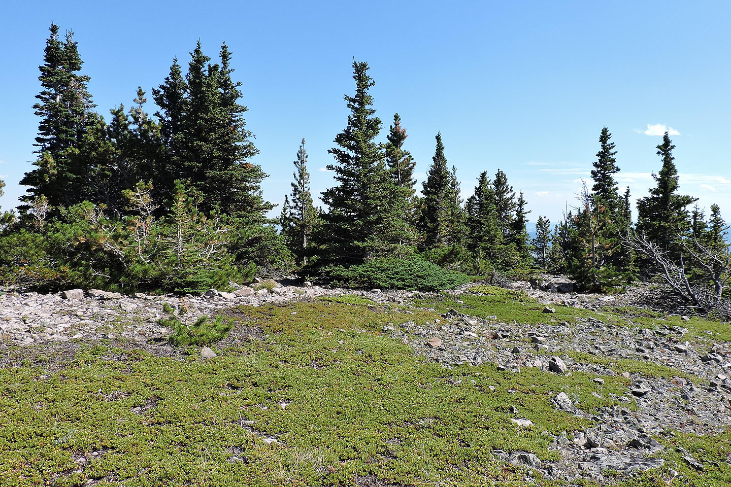
Gunnery Mountain is nearby
Top 4, the highest hill, is a short hike away
Starting up Top 4
The summit is a bit rocky
Standing next to the summit cairn

Ahead is Top 5

The trail skirts the intervening rocky bump ahead
The trail disappears at the edge of the meadow on Top 5 but resumes at the far end
Looking back at Top 4 from the meadow on Top 5
The trail picks up left of the tree in the centre (not that you'll remember this tree!)

The trail disappears in a clearing only to resume on a slope
The trail winds down the ridge before climbing to Marston Col seen in the centre
82 J/7 Mount Head