bobspirko.ca | Home | Canada Trips | US Trips | Hiking | Snowshoeing | MAP | ABOUT
Sunrise Mountain
Kamloops, B.C.
May 4, 2025
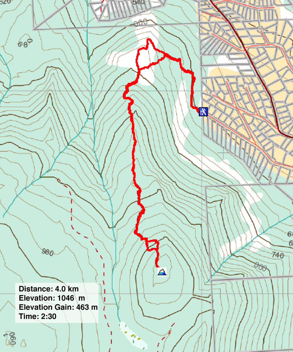
Distance: 4.0 km (2.5 mi)
Cumulative Elevation Gain: 472 m (1549 ft)
When Dinah and I met Lawrence on Mara Hill five days earlier, he recommended hiking Sunrise Mountain. As a guide for TRU KIS Hiking Club, he was knowledgeable about mountains around Kamloops, so we took his suggestion. The trailhead is 15 minutes east of Kamloops.
We missed seeing the sunrise on Sunrise Mountain. Indeed, we missed getting out that morning. We waited for it to stop raining before venturing out in the afternoon. Fortunately, the weather quickly cleared, and we enjoyed sunshine and big, fluffy clouds.
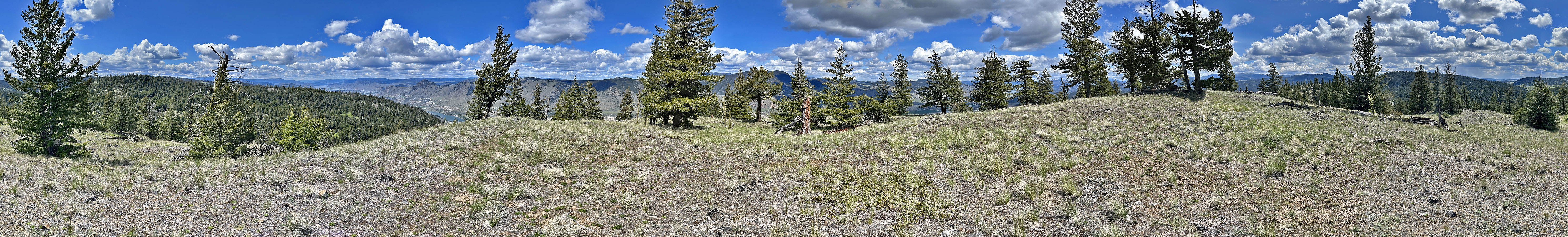
From the edge of a suburb, we started up the wooded trail. It traversed low on the slope before turning to ascend the ridge. When we hit a fork, we kept left, climbing a steep shortcut to return to the main trail on the open ridge. The trail meandered through meadows, offering fine views, but after entering trees, the vistas diminished. As we approached the summit, the trail steepened, and the final stretch ran up a meadow. Unfortunately, the tall trees encircling the grassy top restricted our views. We soon started back down. Instead of taking the wooded shortcut back, we stayed on the open main trail and were treated to pleasing views before the trail entered the forest.
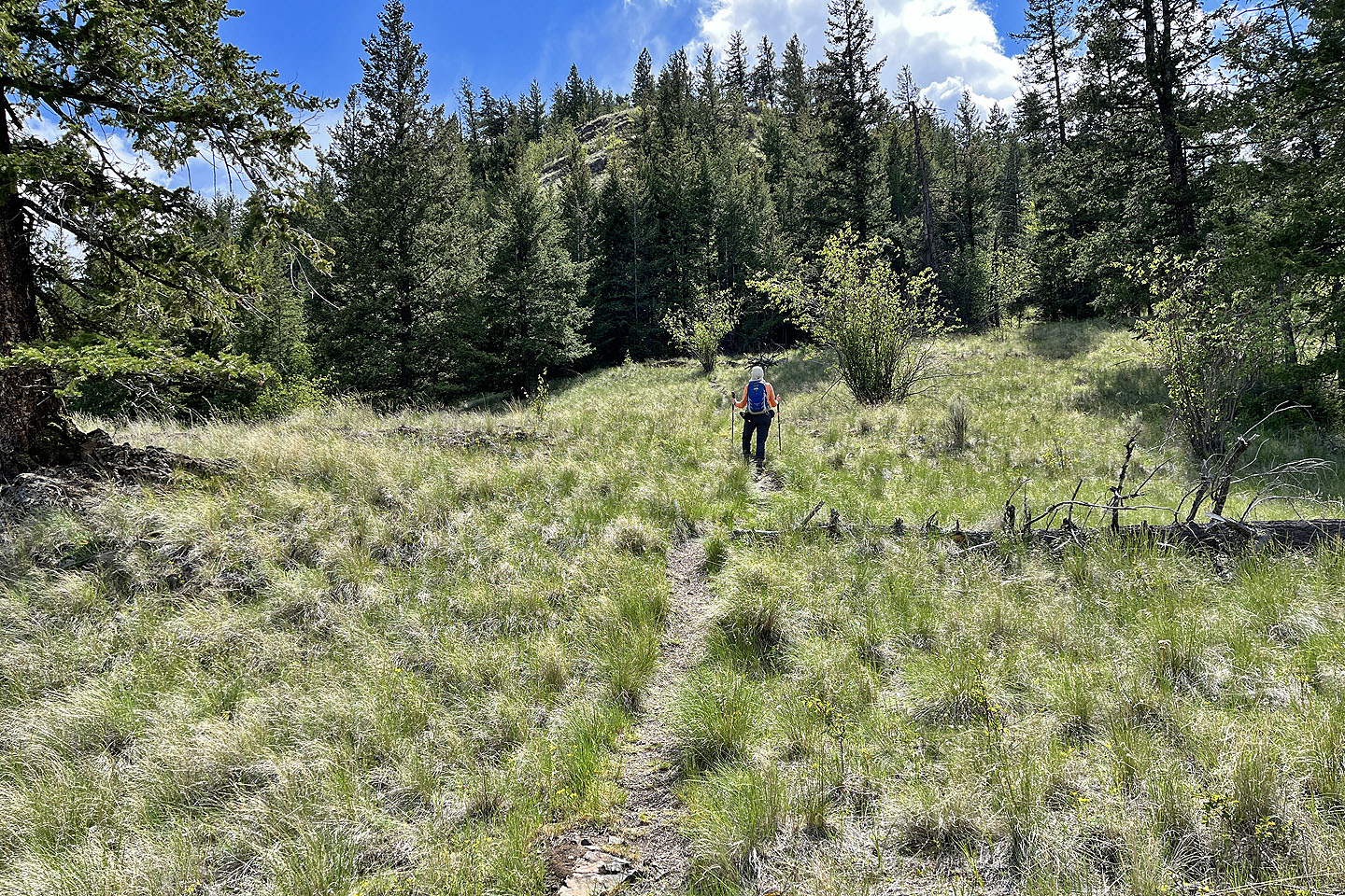
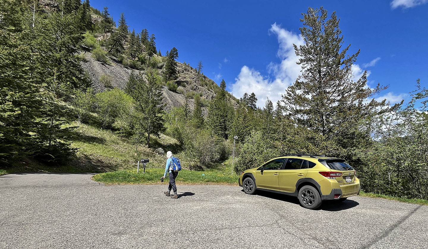 The trail begins to the right of the big bush in the centre
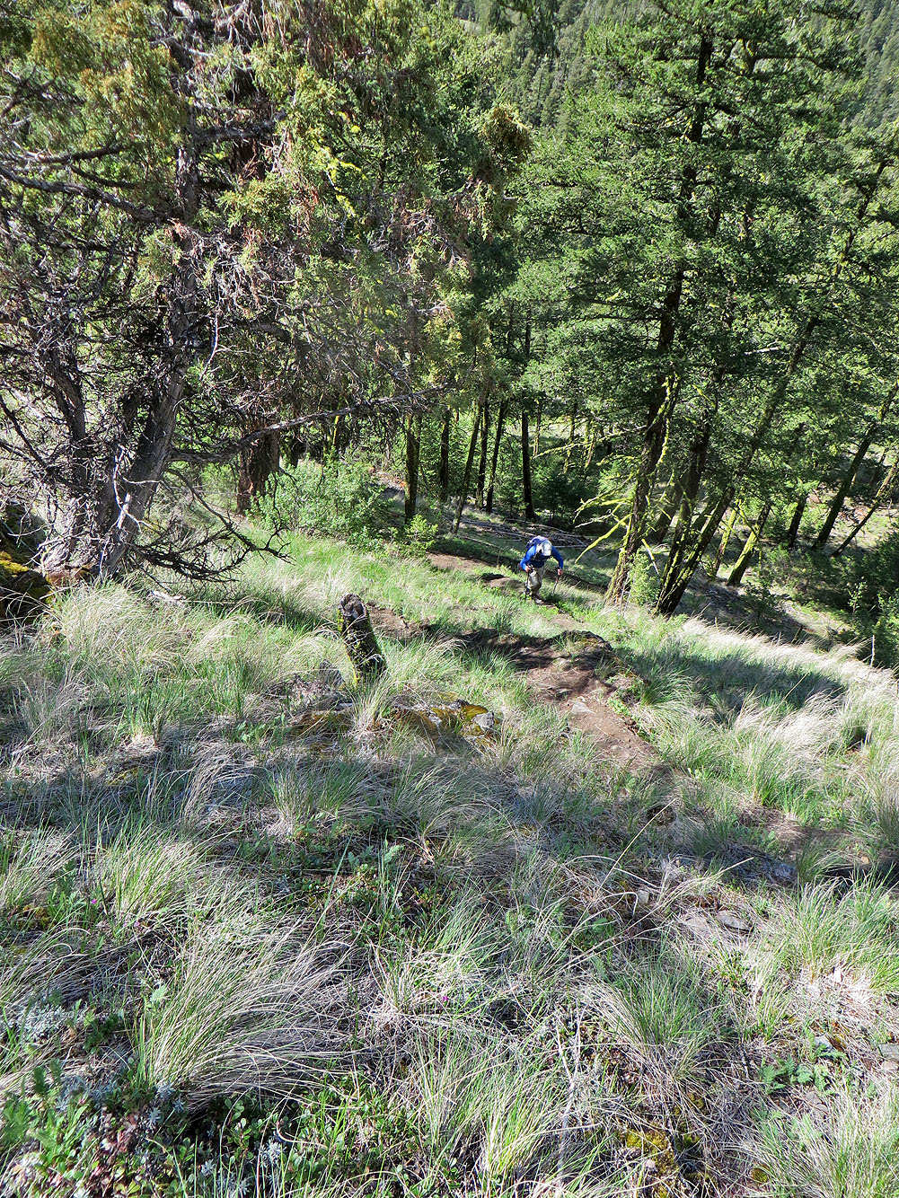
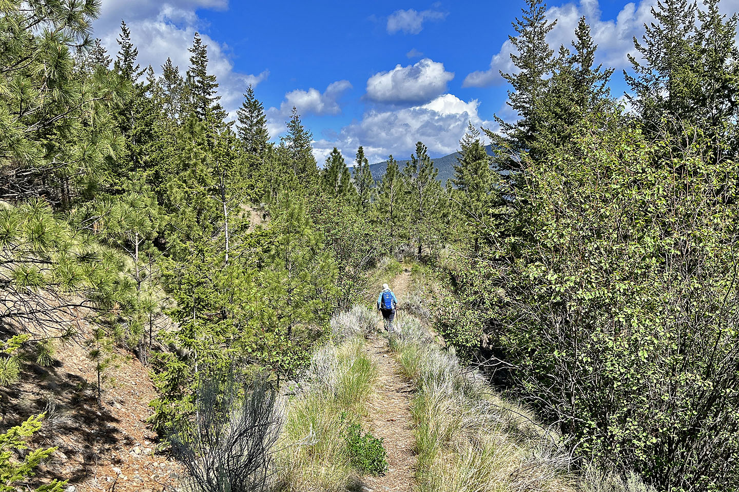 The trail traverses low on a slope before climbing
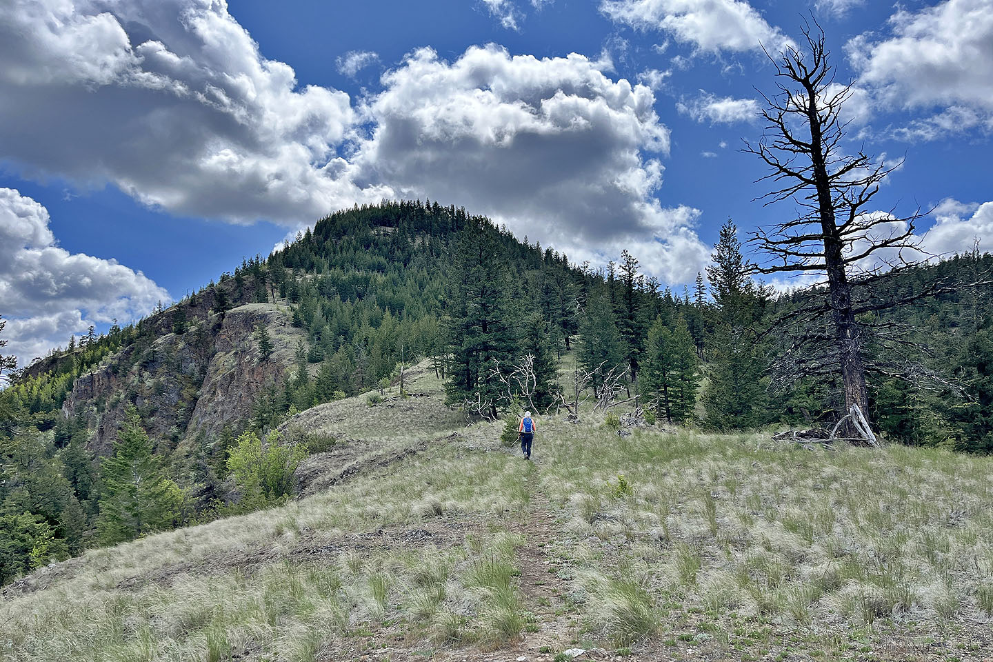
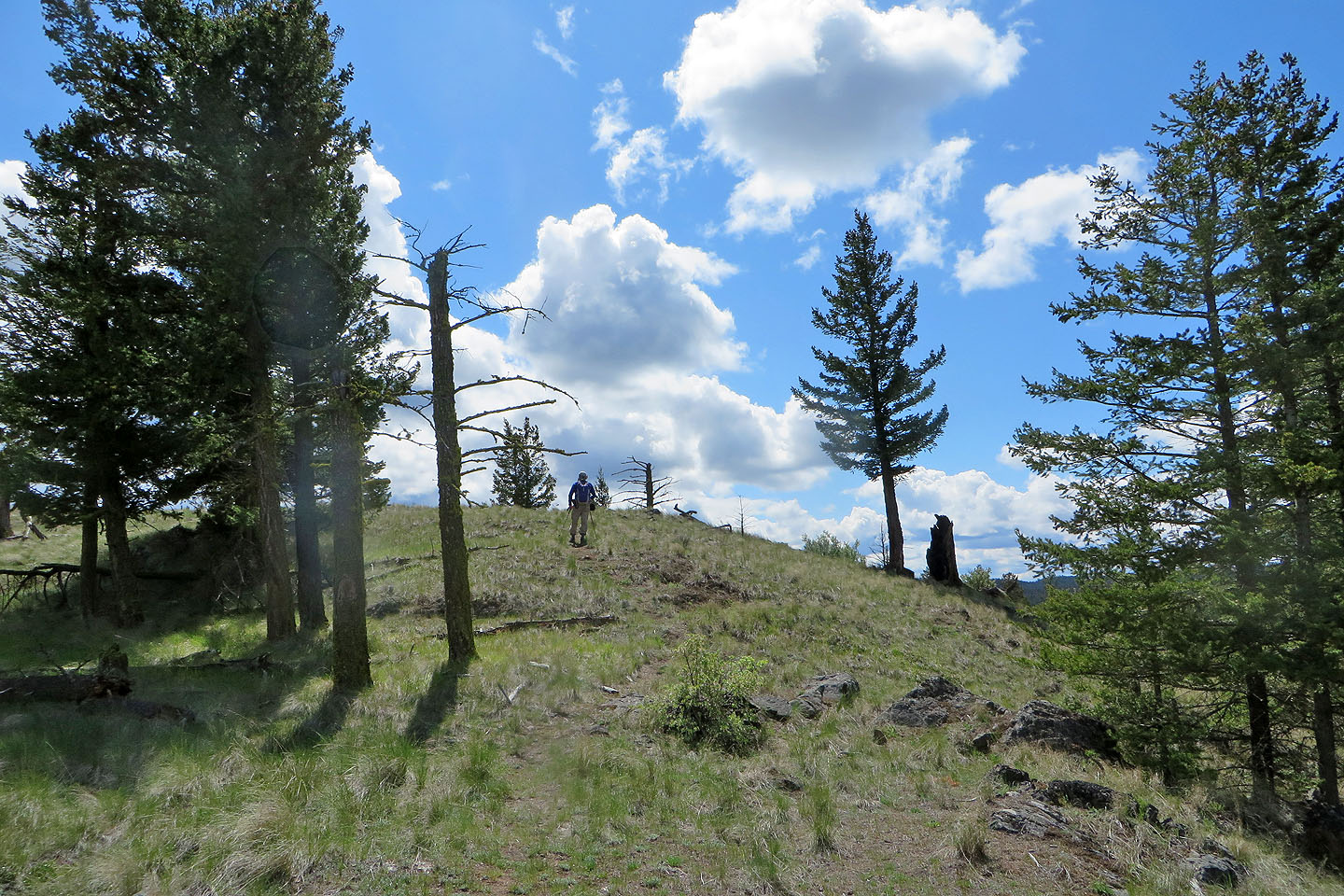
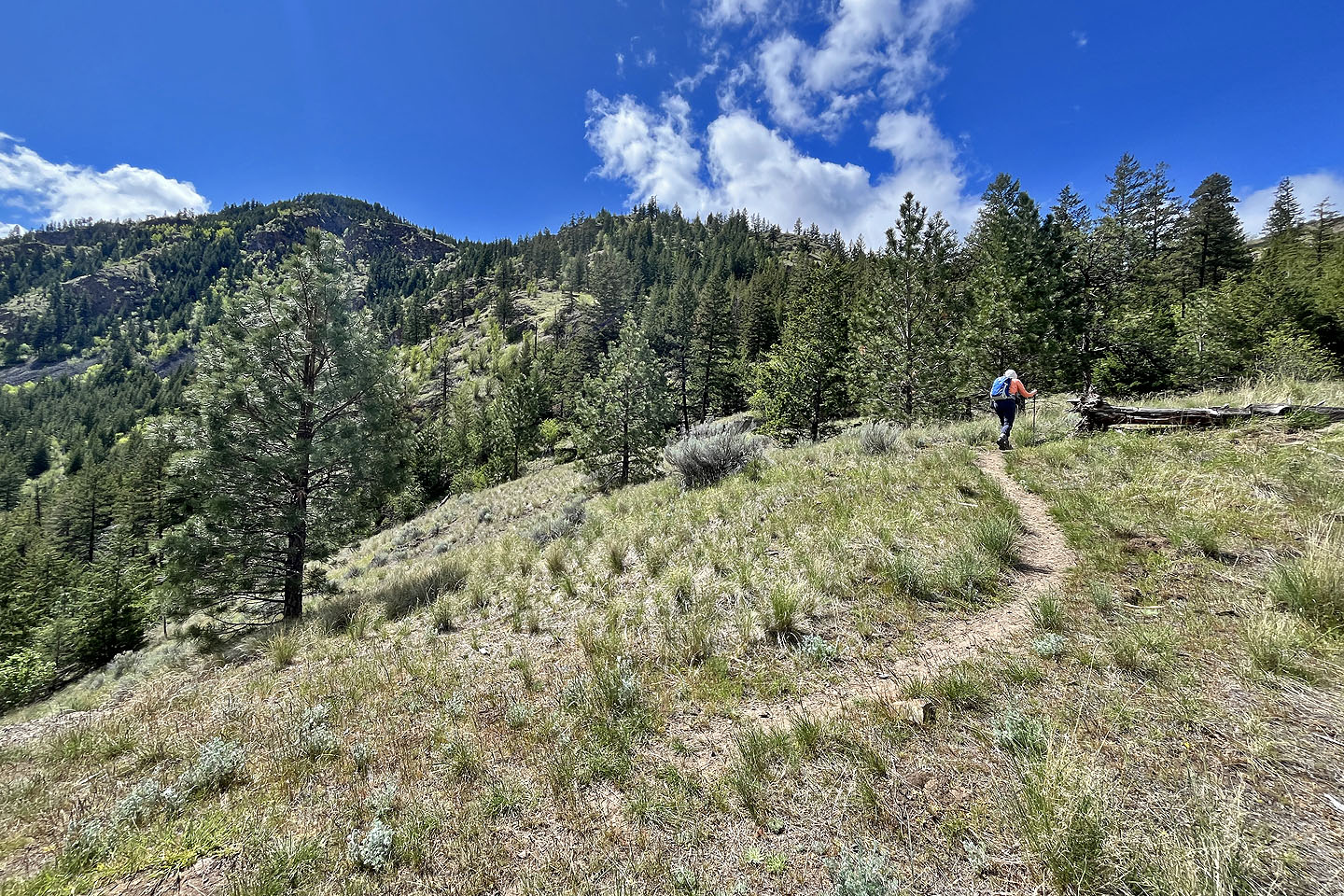 The ridge soon appears
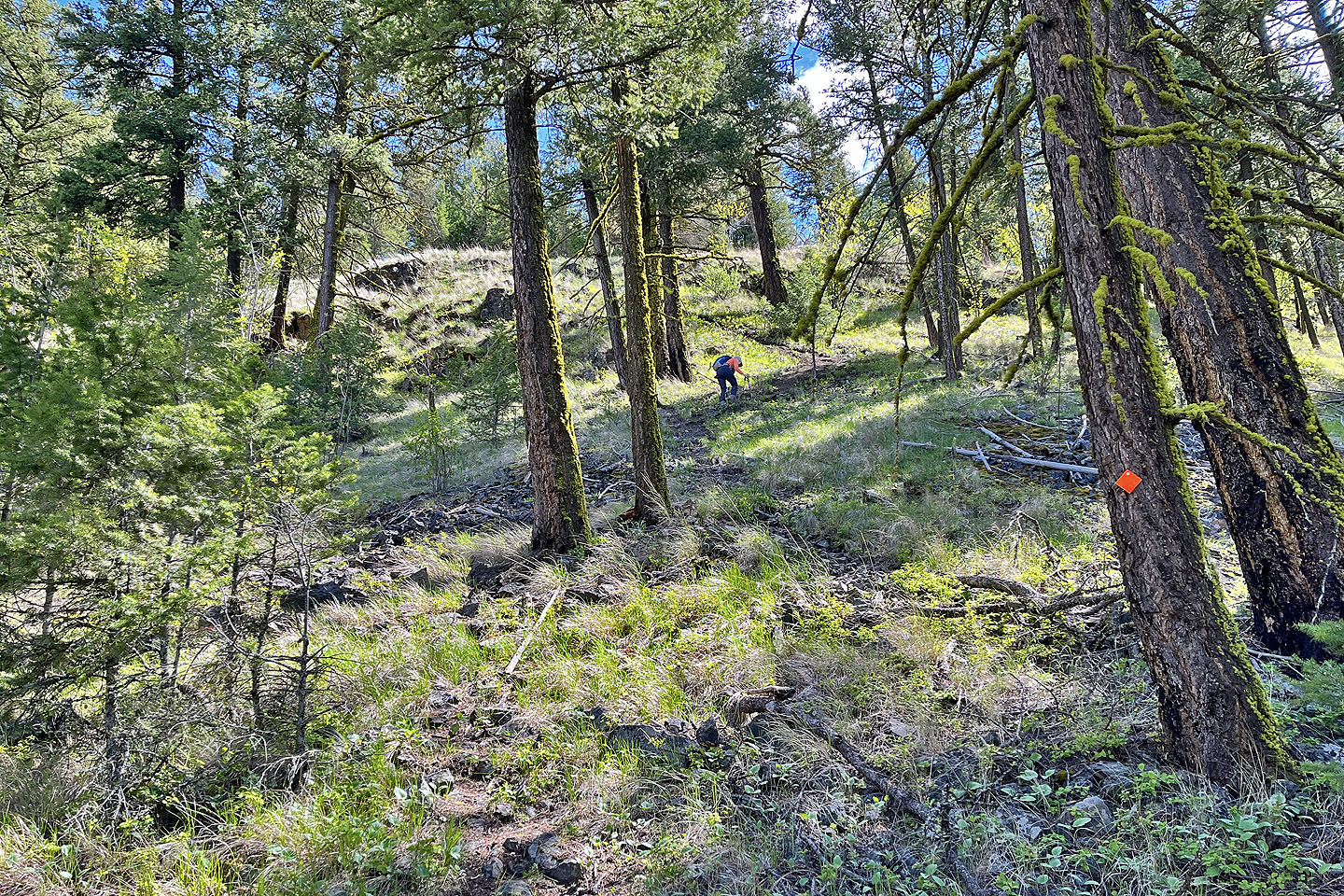
 We took the steep shortcut on the left and came back on the main trail
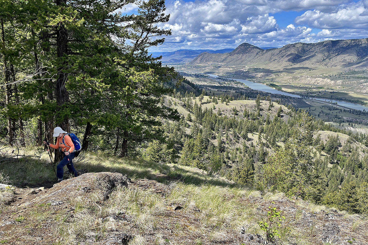
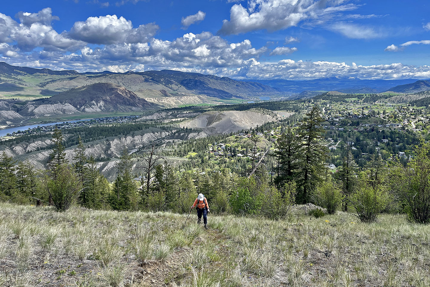 South Thompson River lies below
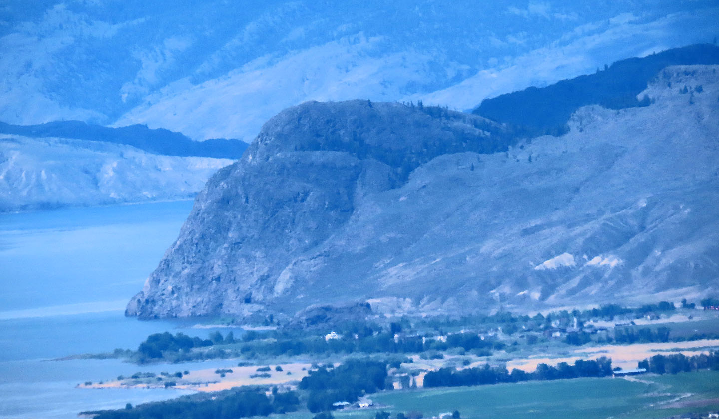
 Mount Buse is 12 km west
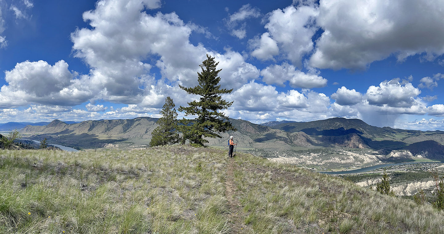
 Back on the main trail
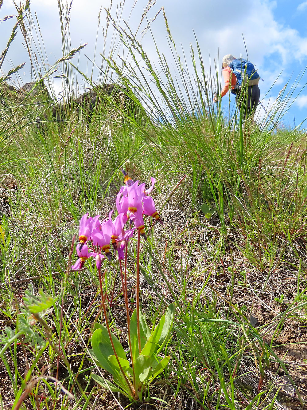
Shooting star
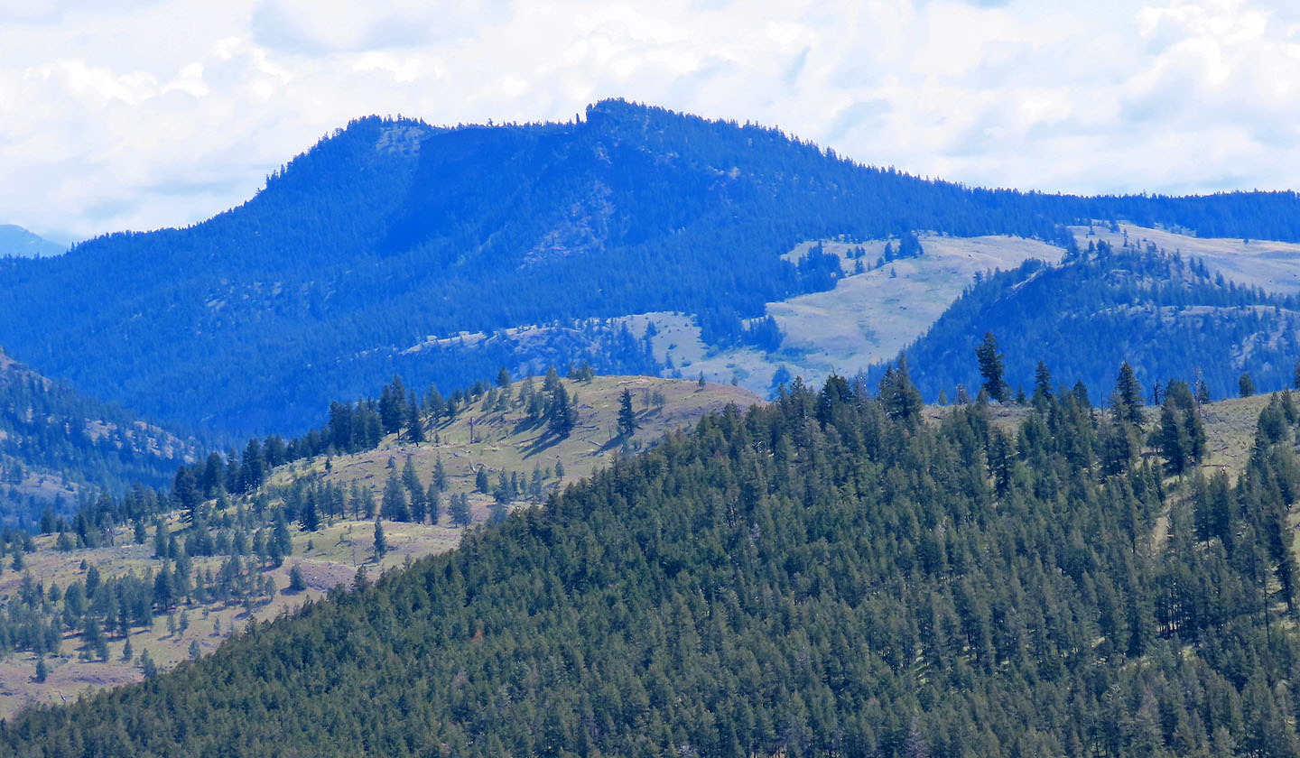
 The prominent mountain is Peter Peak
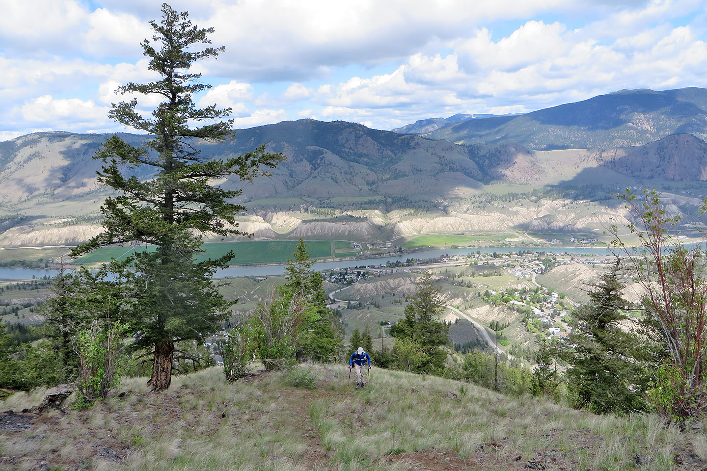 Below is Dallas, an urban area separate from Kamloops
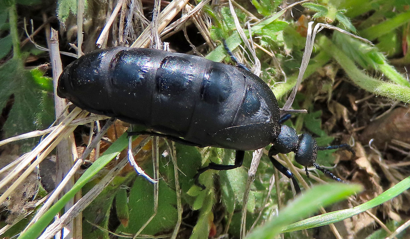 Oil beetle about 3 cm long. Also known as blister beetle as it releases poisons that can cause skin to blister.
 A nice stretch of meadow before the trail enters the forest
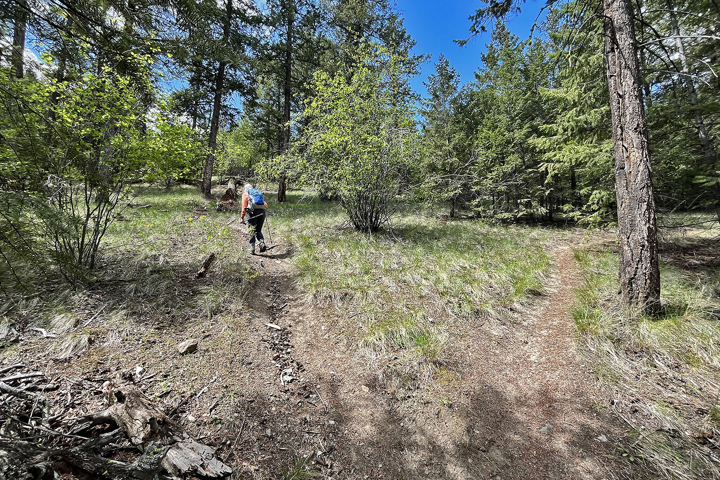
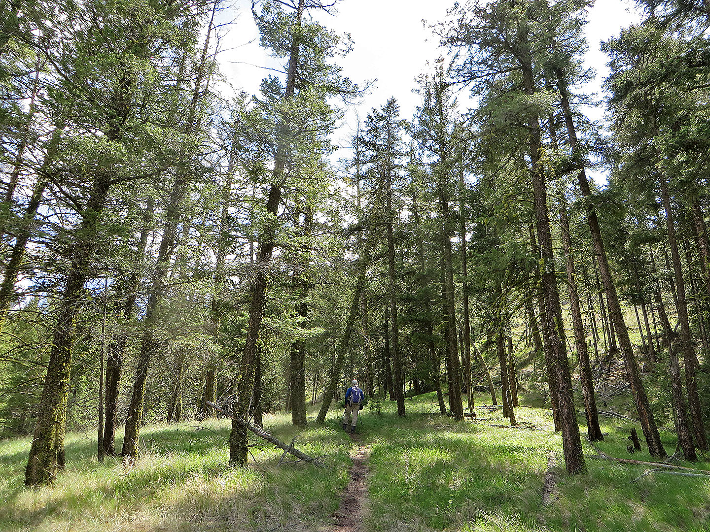 Passing through trees
 The grade steepened as we neared the summit
Climbing a clearing before the summit
 Approaching the top of Sunrise Mountain
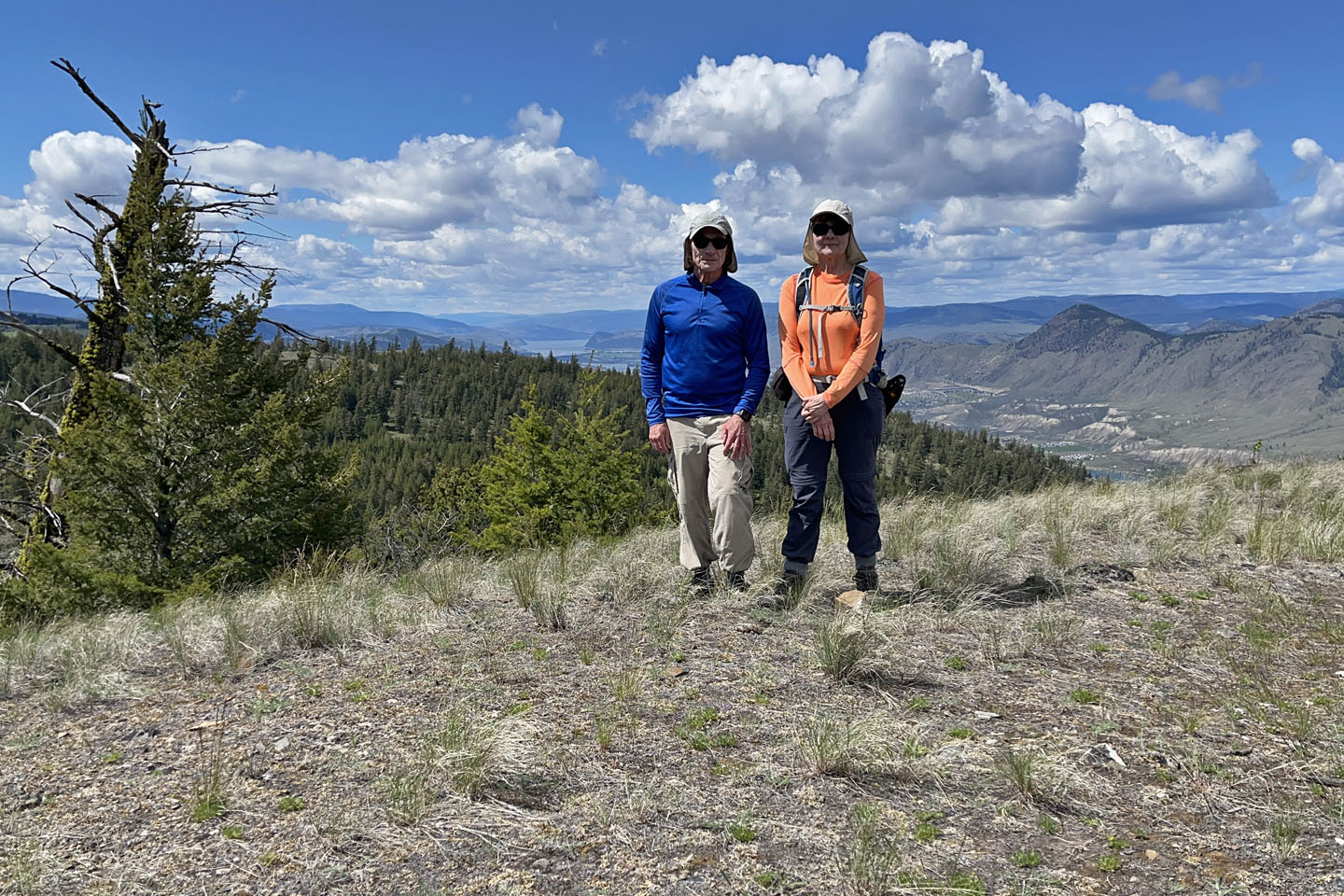 Posing on the summit
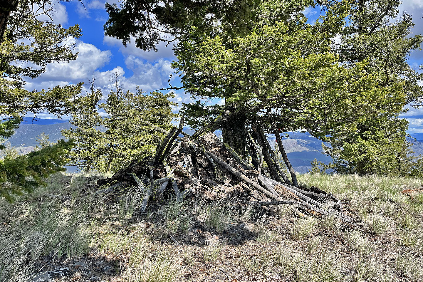 A shelter occupies the highest point
 Battle Bluff is 30 km east
 Starting down from the summit
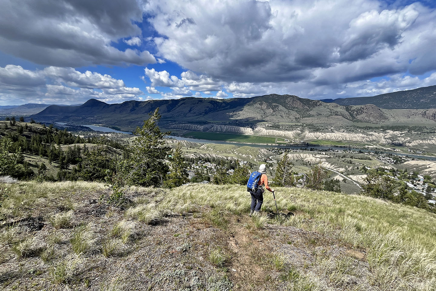
 The best vistas are halfway down
 Instead of taking the shortcut back, we stayed on the main trail which offered more scenery