bobspirko.ca | Home | Canada Trips | US Trips | Hiking | Snowshoeing | MAP | ABOUT
Mount Buse
Buse Lake Protected Area, B.C.
May 3, 2025
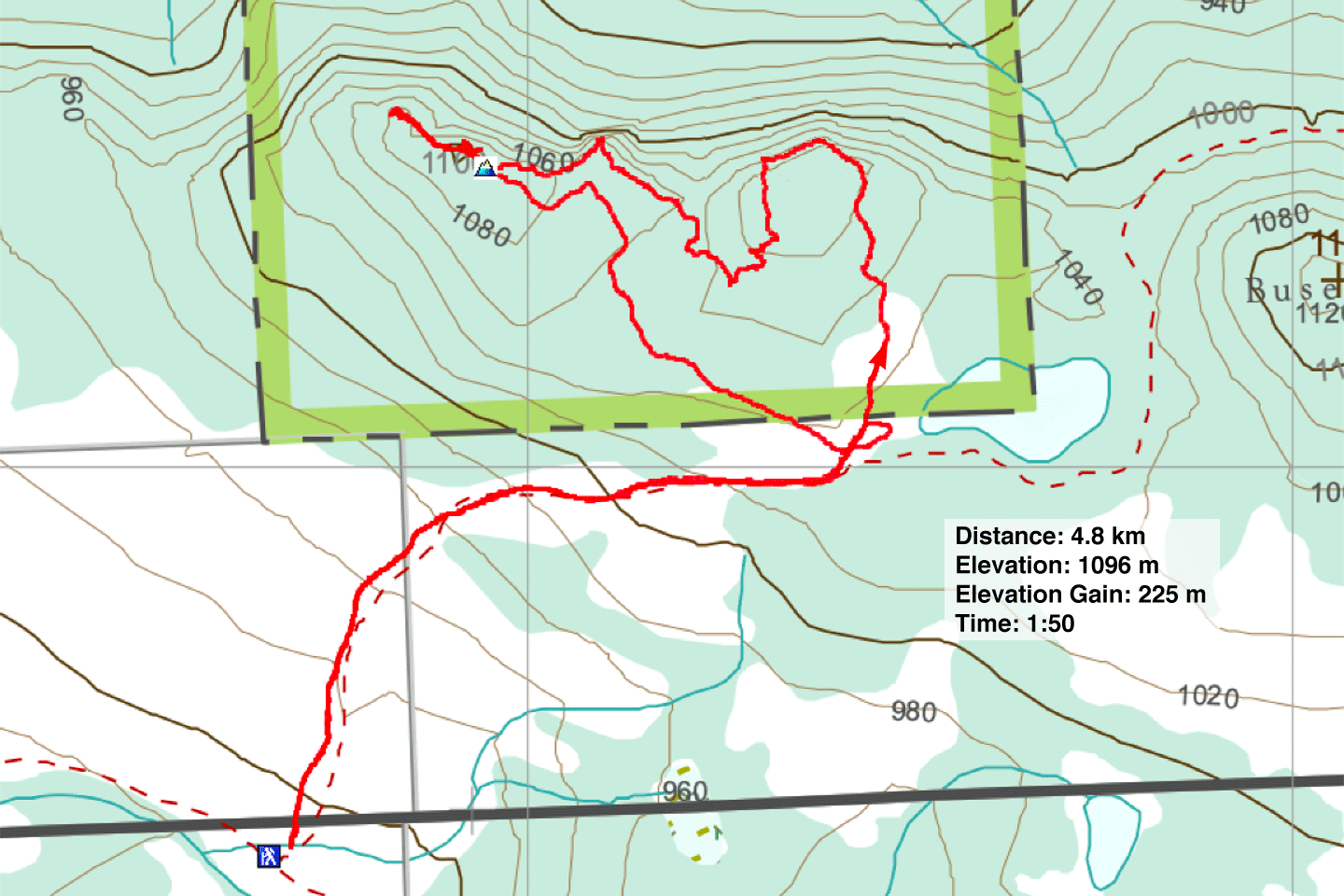
Distance: 4.8 km (3.0 mi)
Cumulative Elevation Gain: 255 m (837 ft)
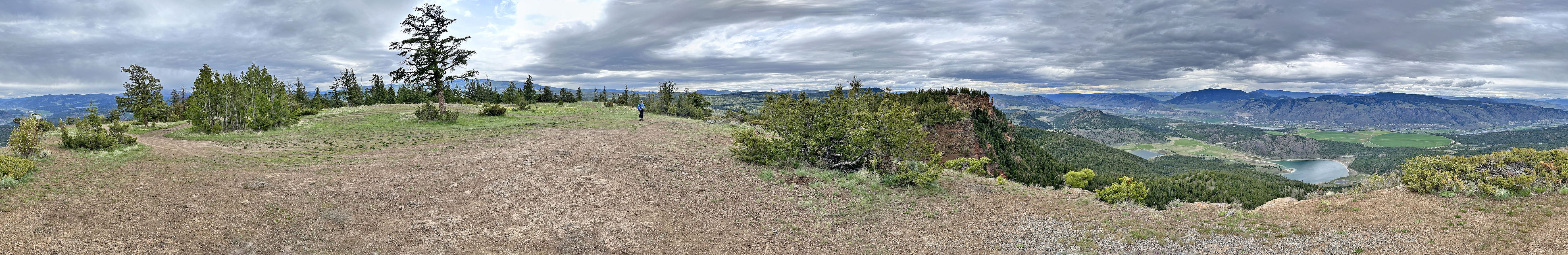
Mount Buse offers a stunning landscape for a short hike. The trail takes you past a picturesque lake before reaching twin clifftop summits with breathtaking views across a valley. This hike stood out from longer trips around Kamloops with less inspiring scenery.
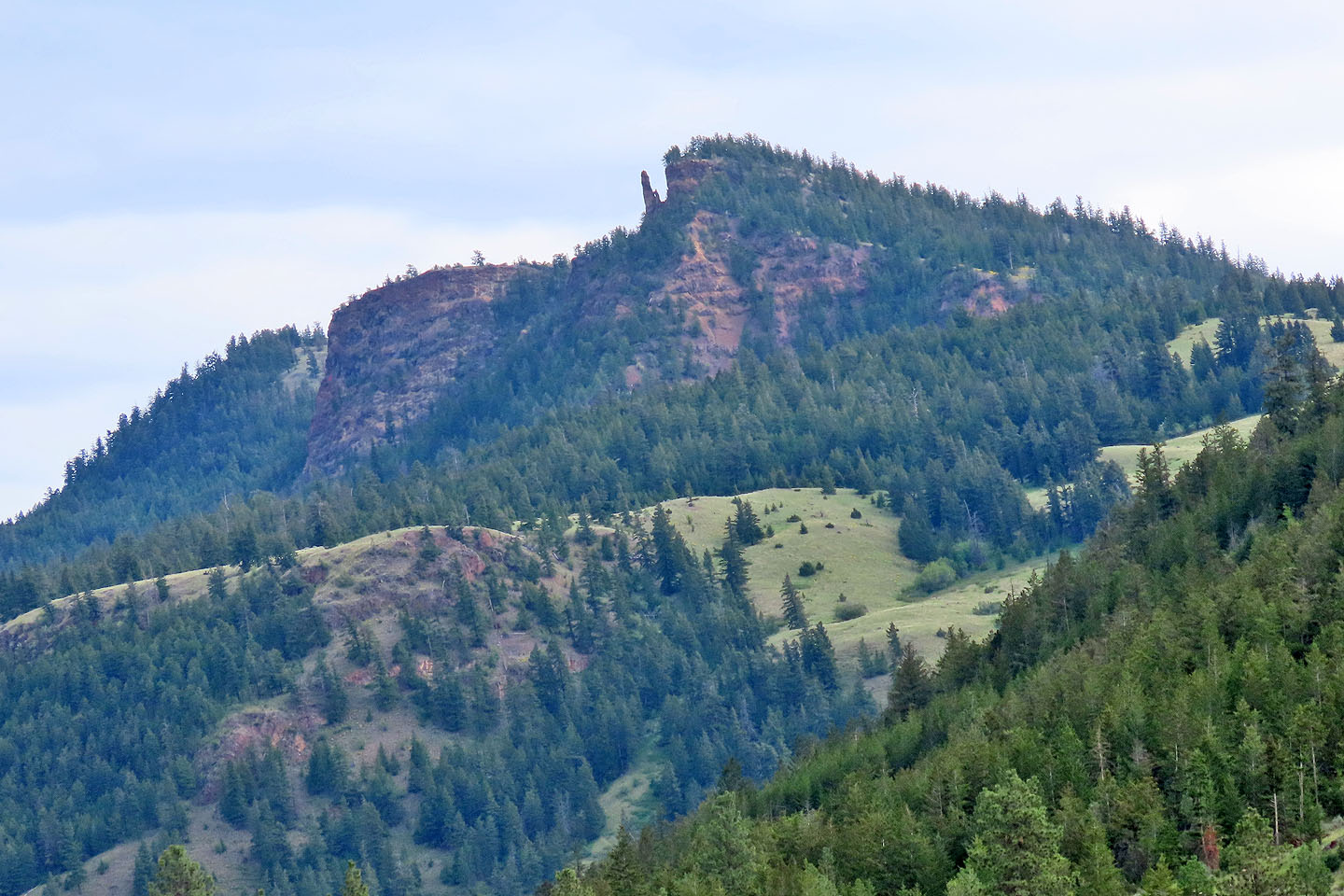
After driving 30 minutes east of Kamloops, Dinah and I parked at the base of a grassy slope at the foot of a 4x4 road. We grabbed our packs and started up the road. Balsamroot plants adorned the open slopes, their large yellow flowers vibrant against the leaden skies. We kept right at the fork by Buse Lake and ventured through a thin forest. Emerging onto an immense plateau, the West Summit, we were rewarded with a panoramic view of the South Thompson River Valley. Across the saddle connecting the double summits, we could see the immense cliffs and striking pinnacle of the East Summit.
We crossed the summit plateau and descended the trail to the forested saddle. The broad main trail was steep and slippery, but we easily navigated the narrow paths on the left. We crossed the saddle and started up the East Summit. Just before reaching the top, a tremendous crash shattered the still air. We exchanged astonished glances. Apparently, boulders had dislodged from the cliff below us and plummeted down into the valley.
We reached the East Summit, barely higher than the West Summit. Trees limited the view, but we could see clear across the saddle at the cliffs of the East Summit.
A road leads back to the fork at Buse Lake, but first, we followed a trail to the end of the ridge to view the vista looking east. We returned to the road and followed it down through trees to the fork. Before continuing back to our car, we stopped at Buse Lake to take in the scenery.
 The backside of Mount Buse seen on the way there from a good gravel road
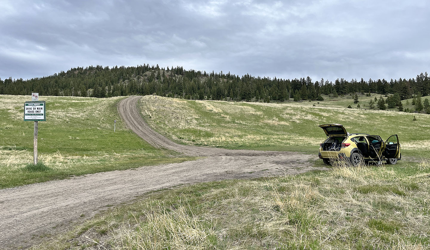 The trailhead
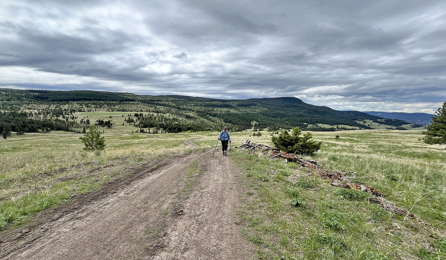 Looking back after walking well up the road
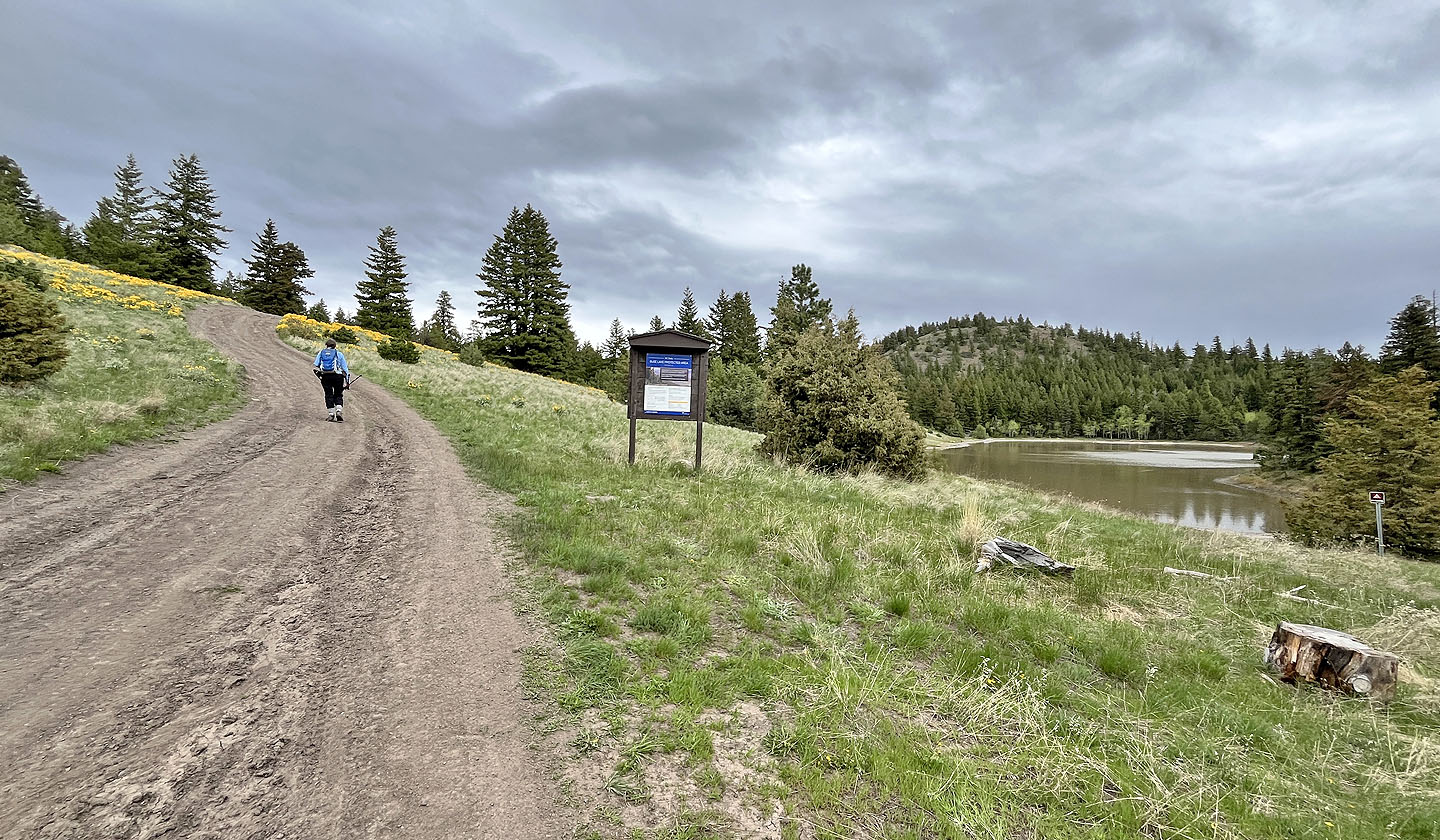 We passed Buse Lake
 Balsamroot wildflowers lined the road (mouse over)
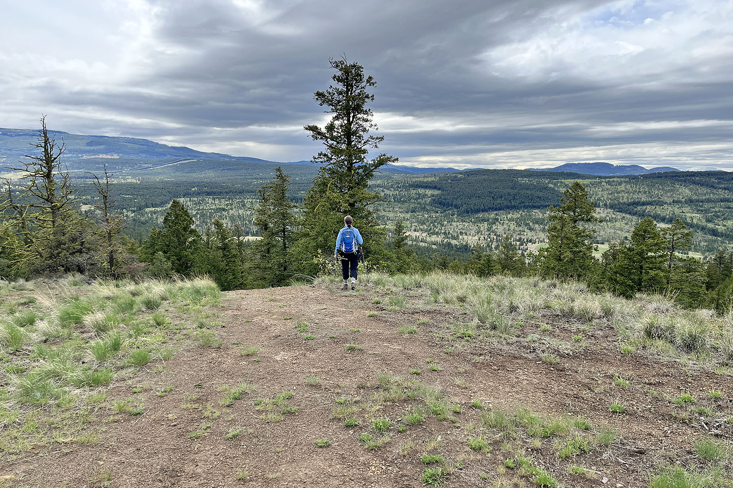
 Dinah on the West Summit
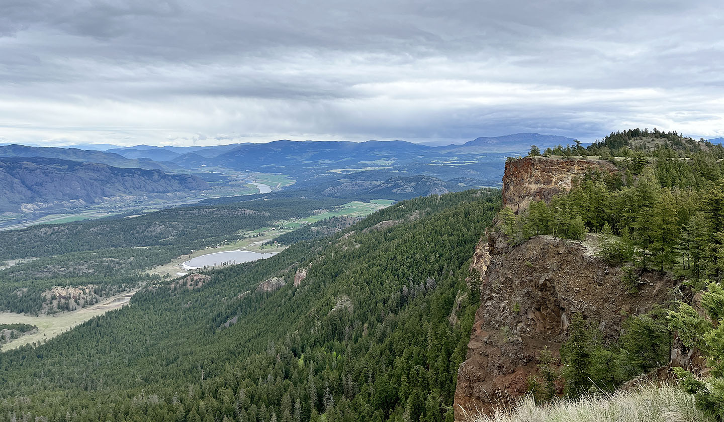
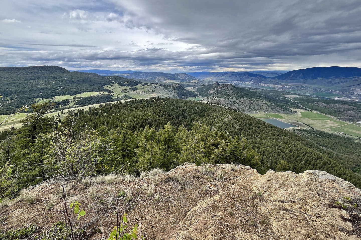
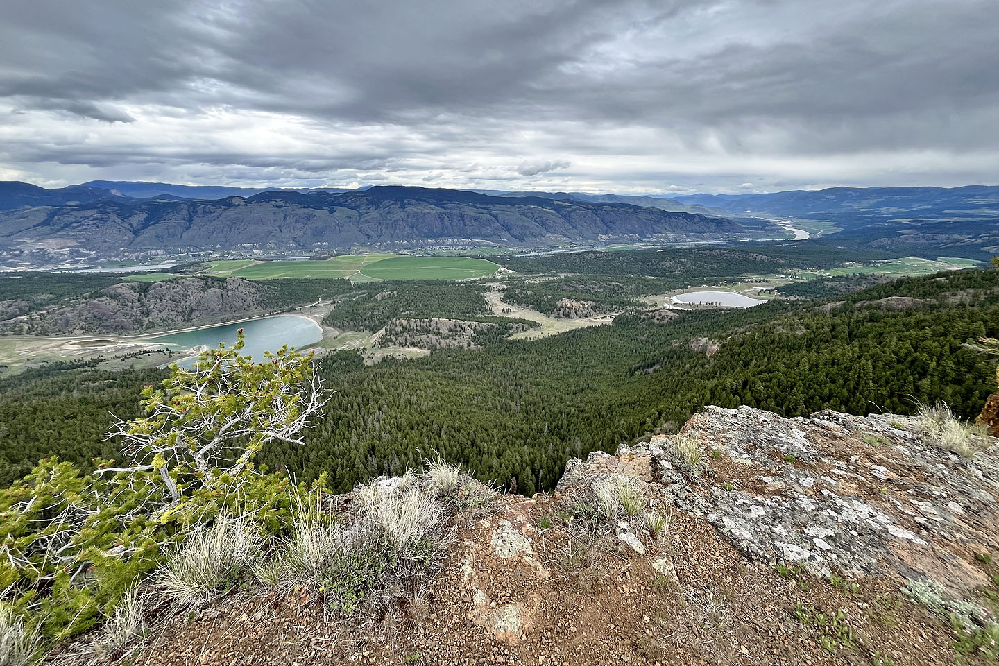 Looking down at South Thompson River Valley
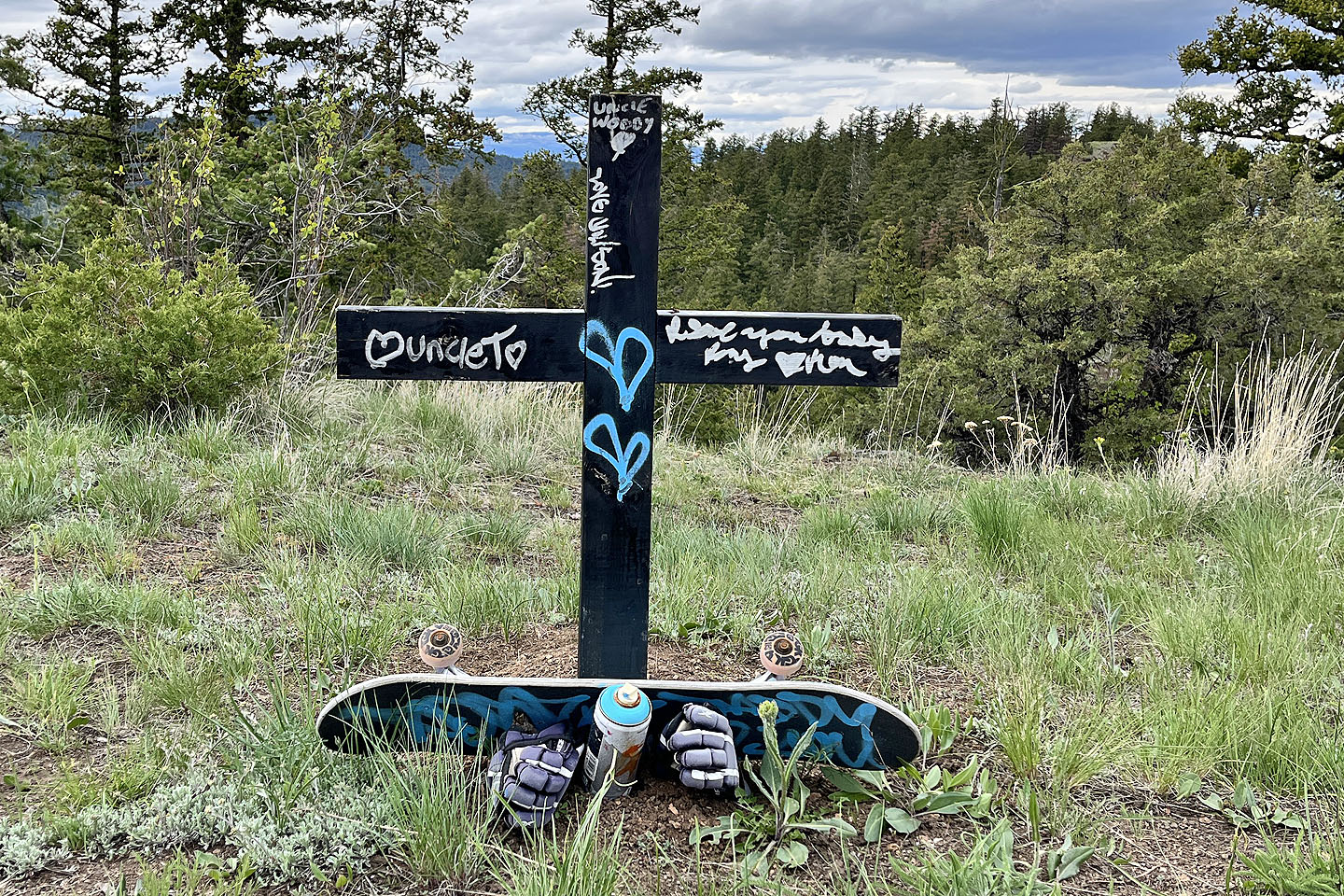 Memorial to a skateboarder
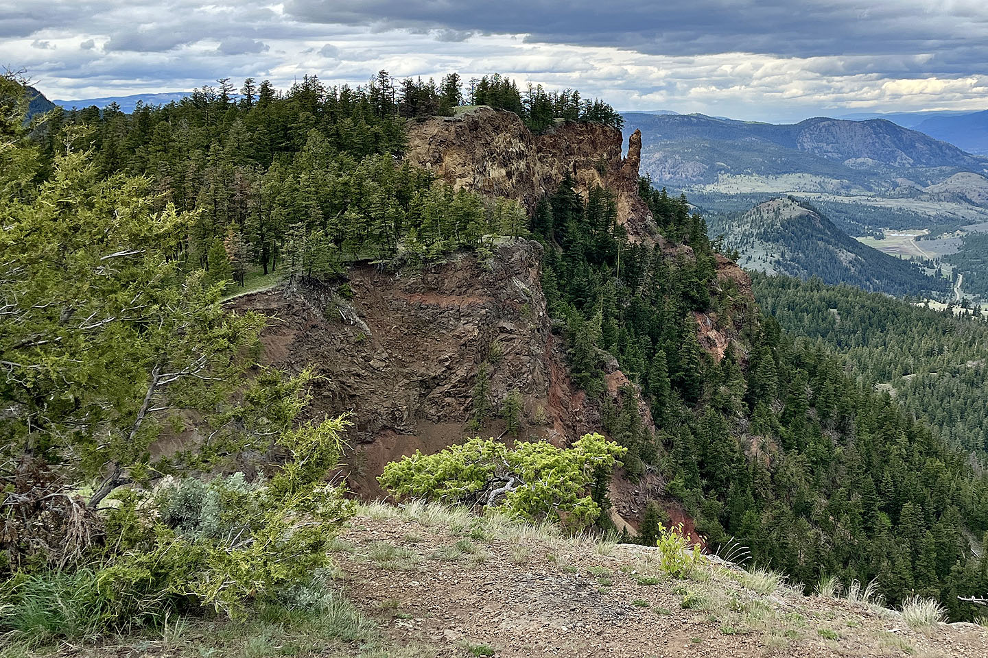 Looking at the East Summit (mouse over for a close-up). The ridge on the right is Sunrise Mountain which we climbed the following day.
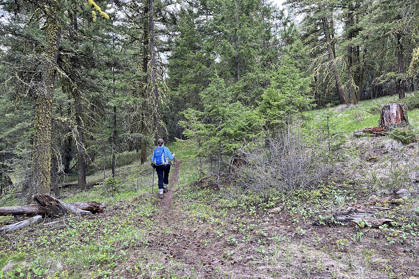
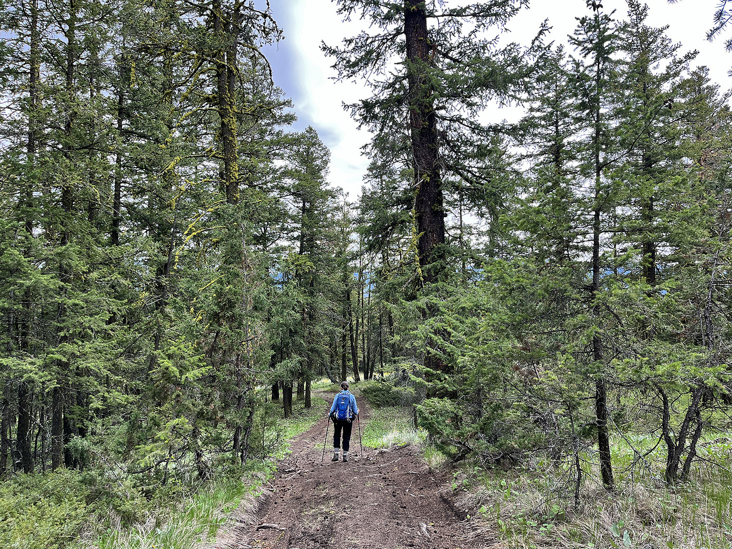
 Continuing down the road
 Following a path across the saddle
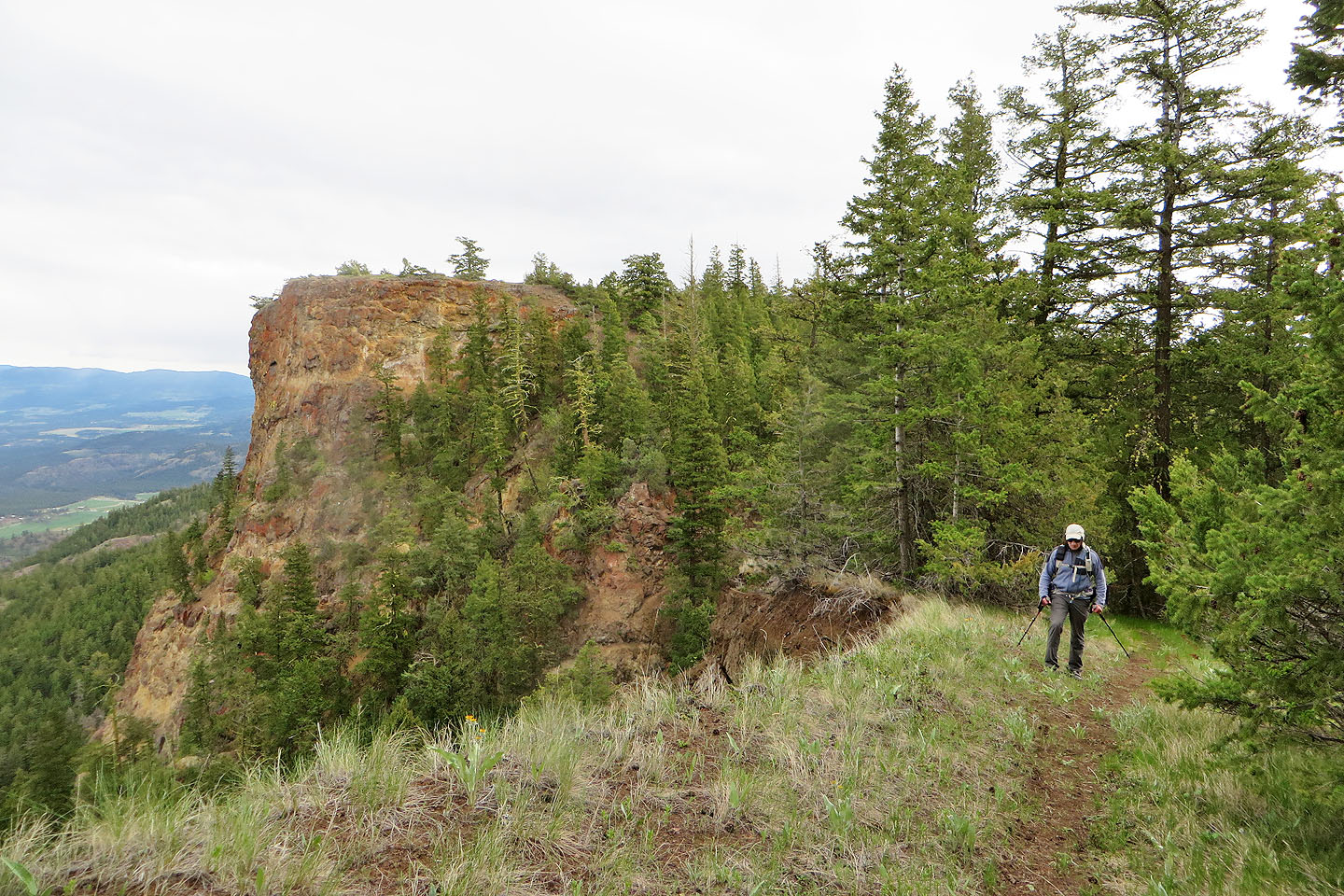 Looking back at the West Summit
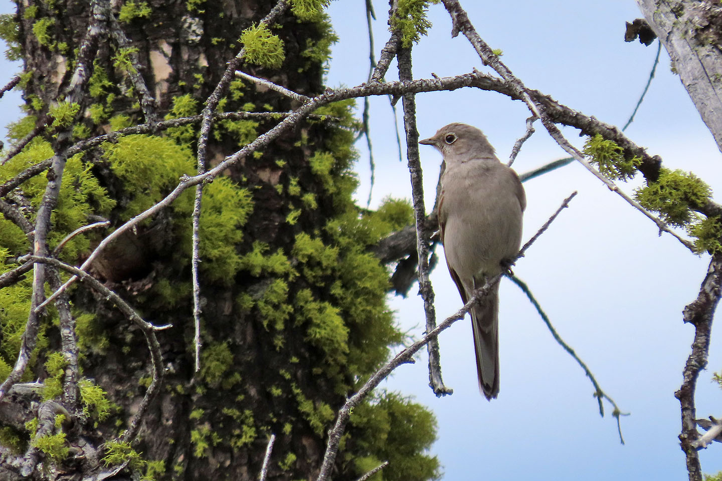 Townsend's solitaire
 Looking down the valley. The bump behind the West Summit is Buse Hill.
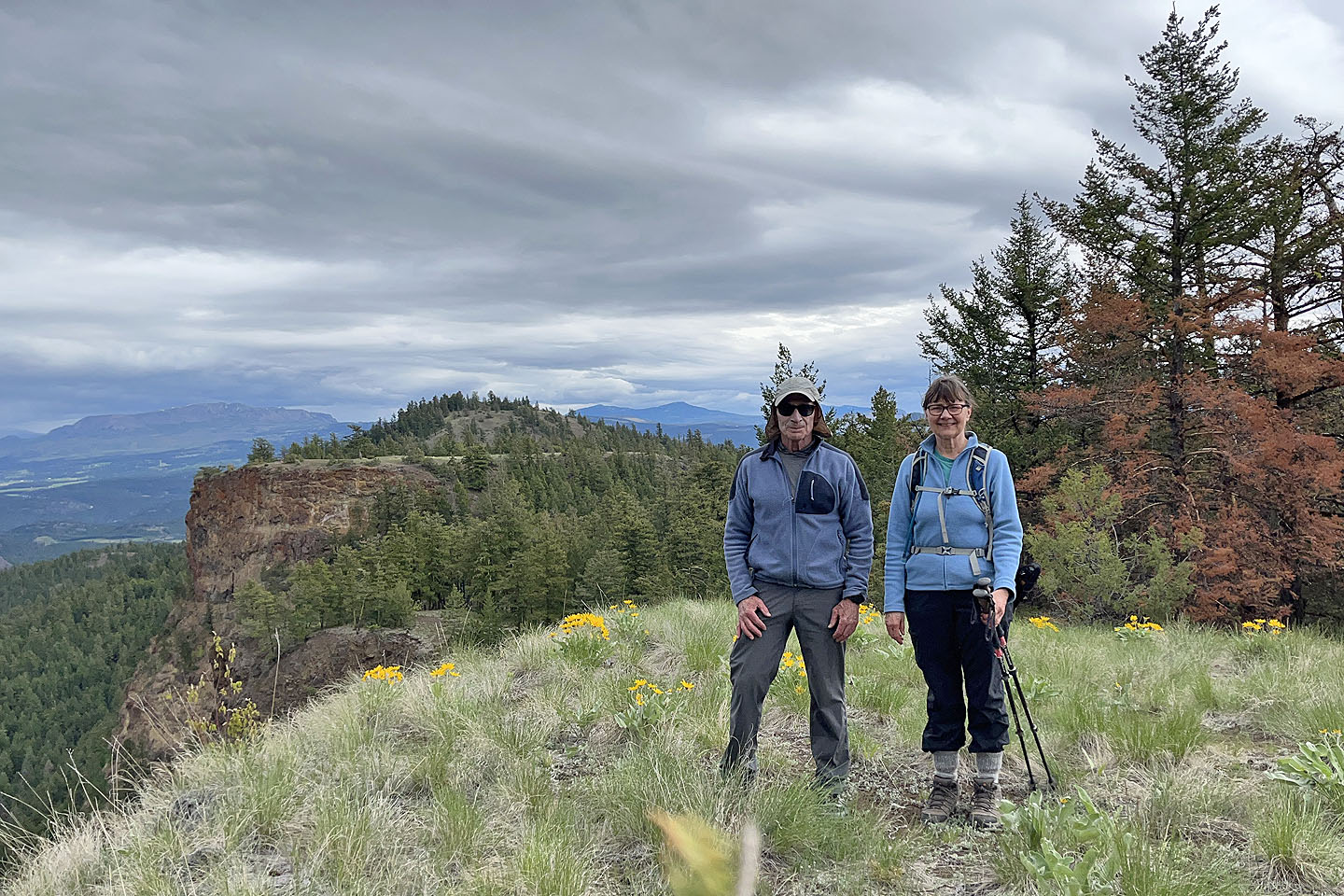 On the summit
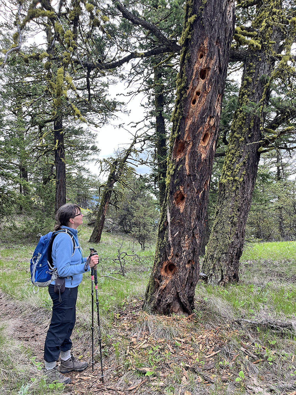
Dinah studies a tree with woodpecker holes
 We walked to the end of the ridge where we found an unobstructed view east
 Returning to the fork
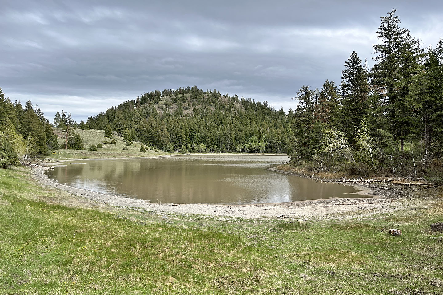 We stopped at Buse Lake before returning to our car