bobspirko.ca | Home | Canada Trips | US Trips | Hiking | Snowshoeing | MAP | About
Iceline Summit
Yoho National Park, B.C.
August 8, 2022
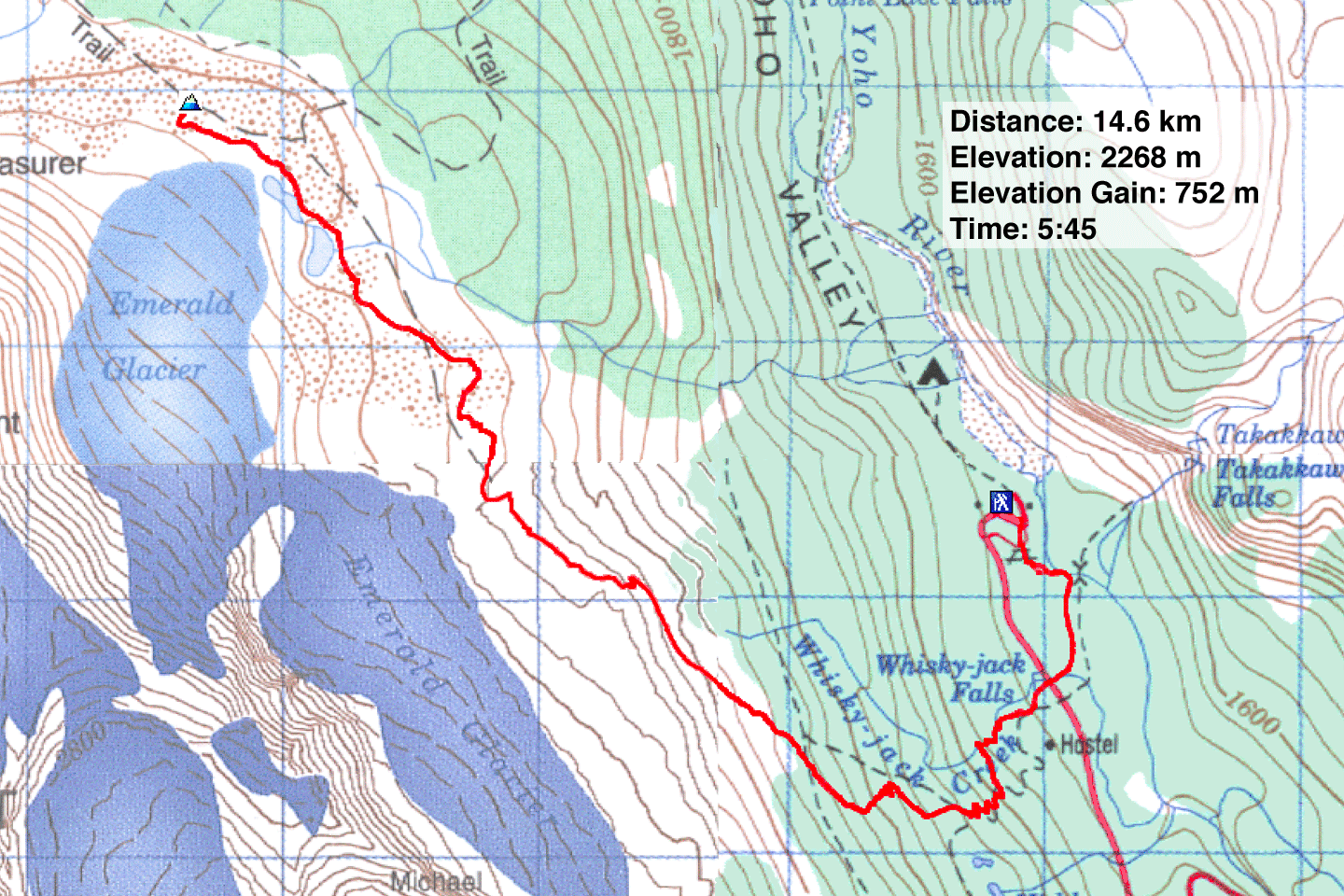
Distance: 14.6 km (9.1 mi)
Cumulative Elevation Gain: 809 m (2654 ft)
Starting from towering Takakkaw Falls and climbing to a vast, barren plateau with stunning glaciers and tarns, it's no wonder Iceline Trail is popular. Dinah and I saw dozens of hikers, many wandering around the plateau far from the trail.
Some parties hike Iceline Trail by completing a loop with Little Yoho Valley Trail and Yoho Valley Trail. Including these forest trails, however, adds distance while adding little scenery. On Iceline Trail, we turned around after reaching the highest point, a little moraine called Iceline Summit.
From the parking lot, we followed signs to Iceline Trail. But the trail doesn't begin climbing until after it crosses the access road. Aided by switchbacks, the trail quickly climbs through the forest. After the switchbacks, we broke out of the trees and gazed down at Takakkaw Falls.
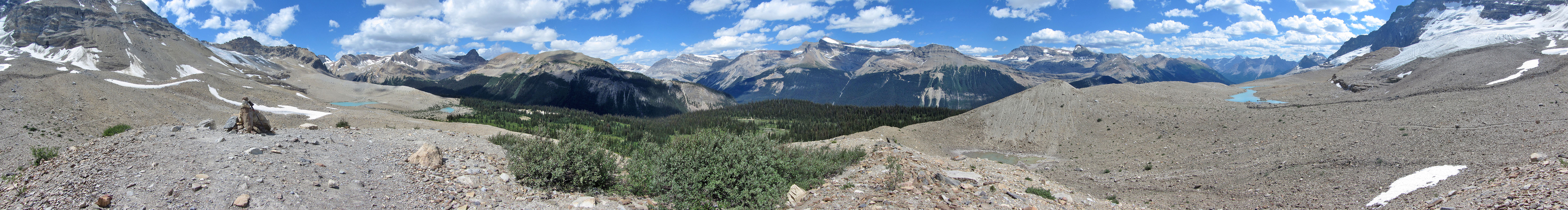
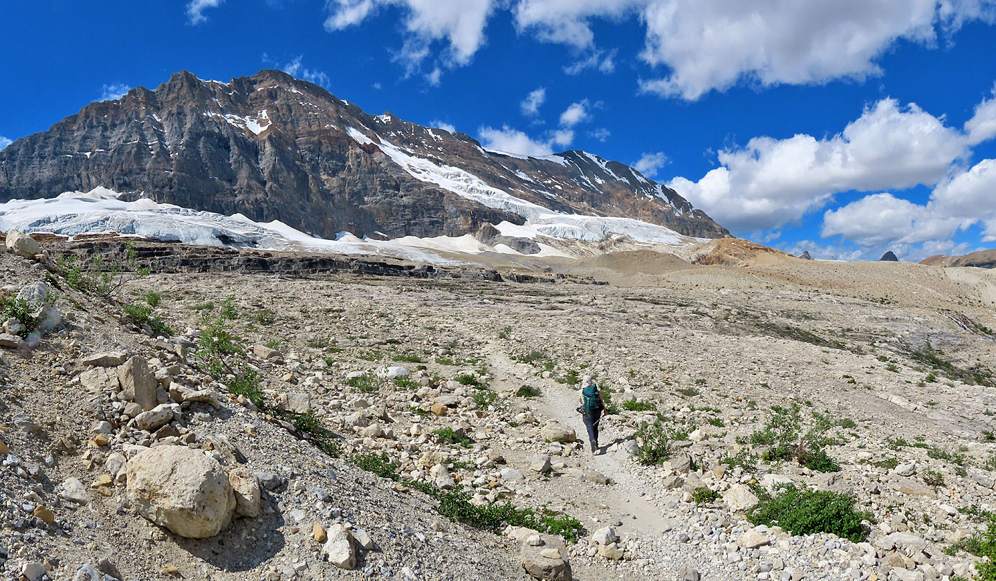
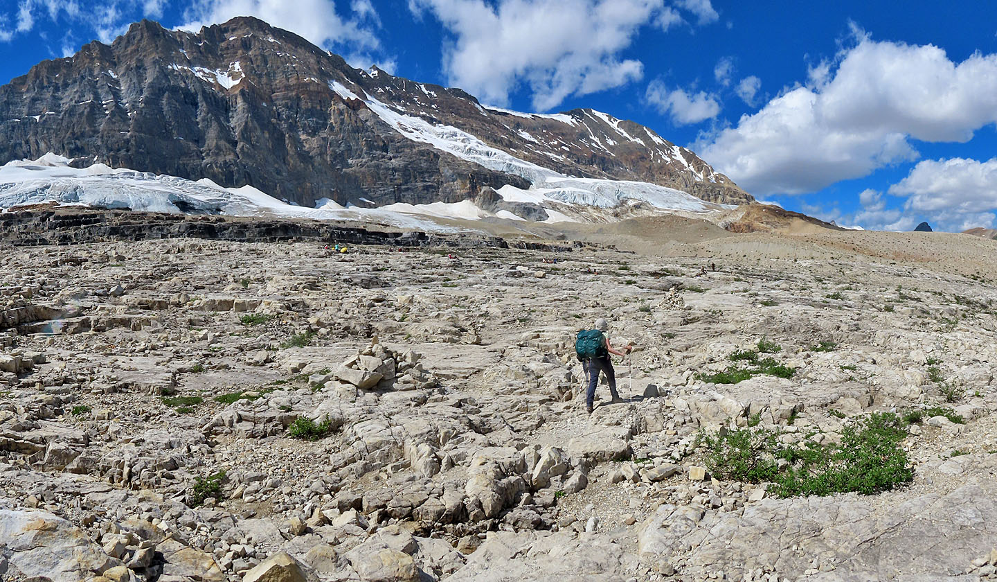
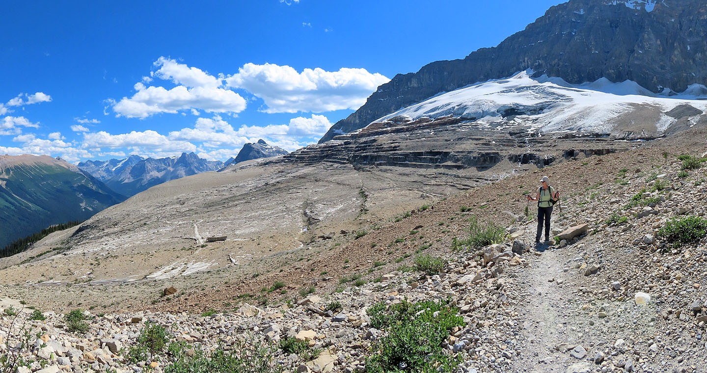
The trail continues climbing while running over small ridges and through shallow glacier-fed streams. After covering several delightful kilometres, we reached a small hill next to the trail: Iceline Summit. It rises only 20 m above the plateau, but it's high enough to peer down at the north end of the plateau and see two more tarns. It’s also a great perch to gaze at several peaks, including nearby Isolated Peak and Whaleback Mountain. After looking around, we started heading down. The best thing about doing Iceline Trail as an out-and-back trip is seeing all the great scenery again!
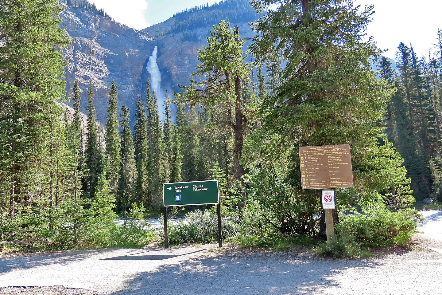
Iceline Trail, along with several other trails, begins in front of Takakkaw Falls
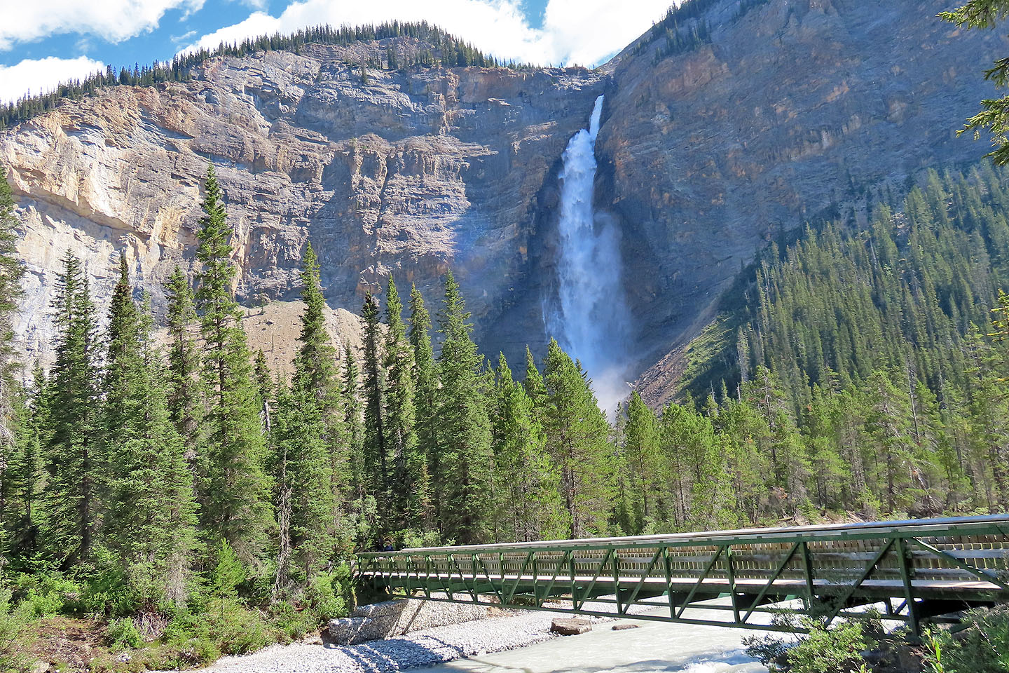
A bridge leads to Takakkaw Falls
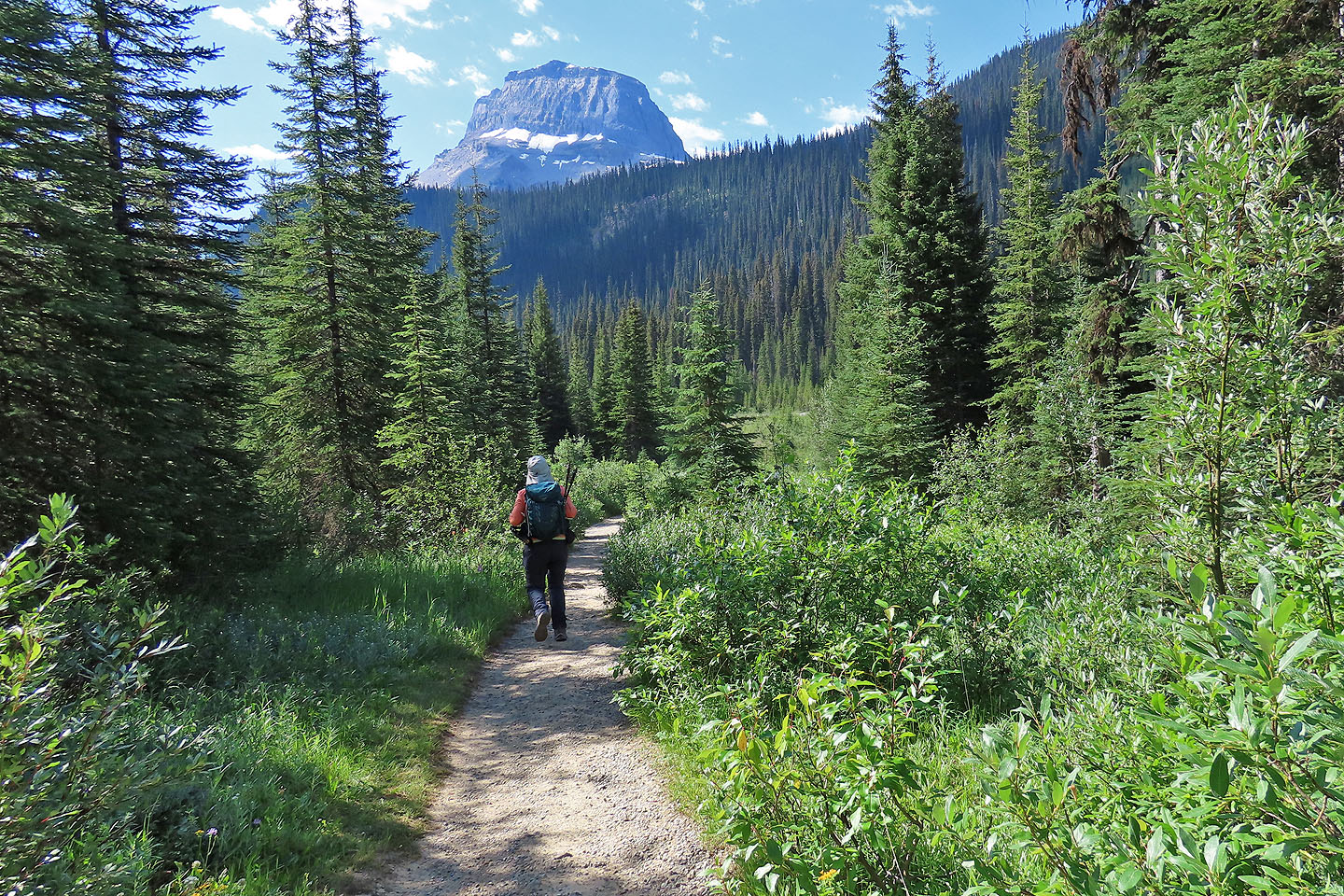
The trail heads towards Wapta Mountain
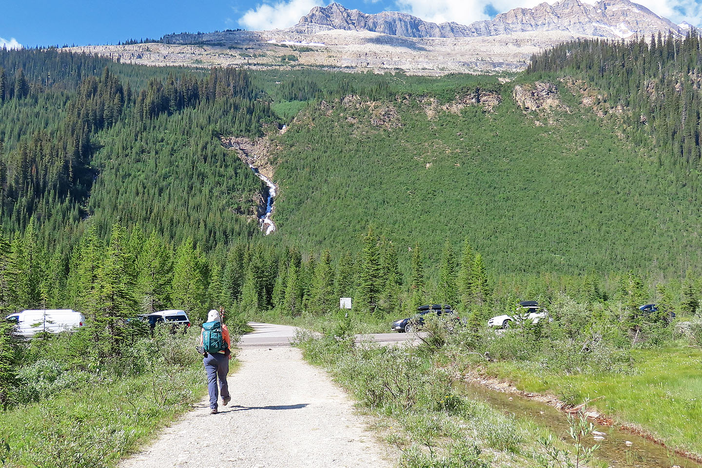
The trail crosses Yoho Valley Road. Had we parked here, it would have shortened our trip by 2 km.
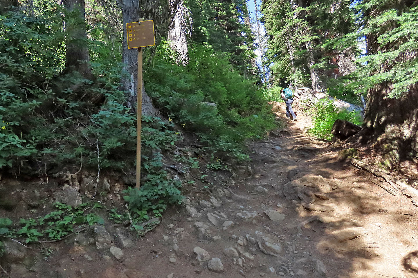
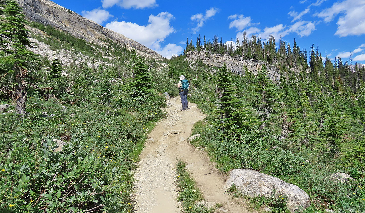
The hike really begins here
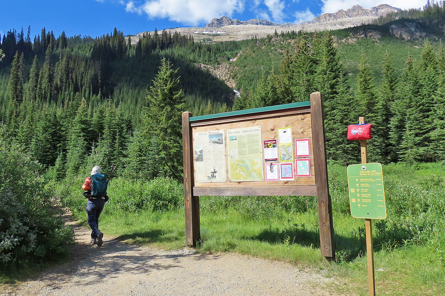
We passed Hidden Lakes Trail
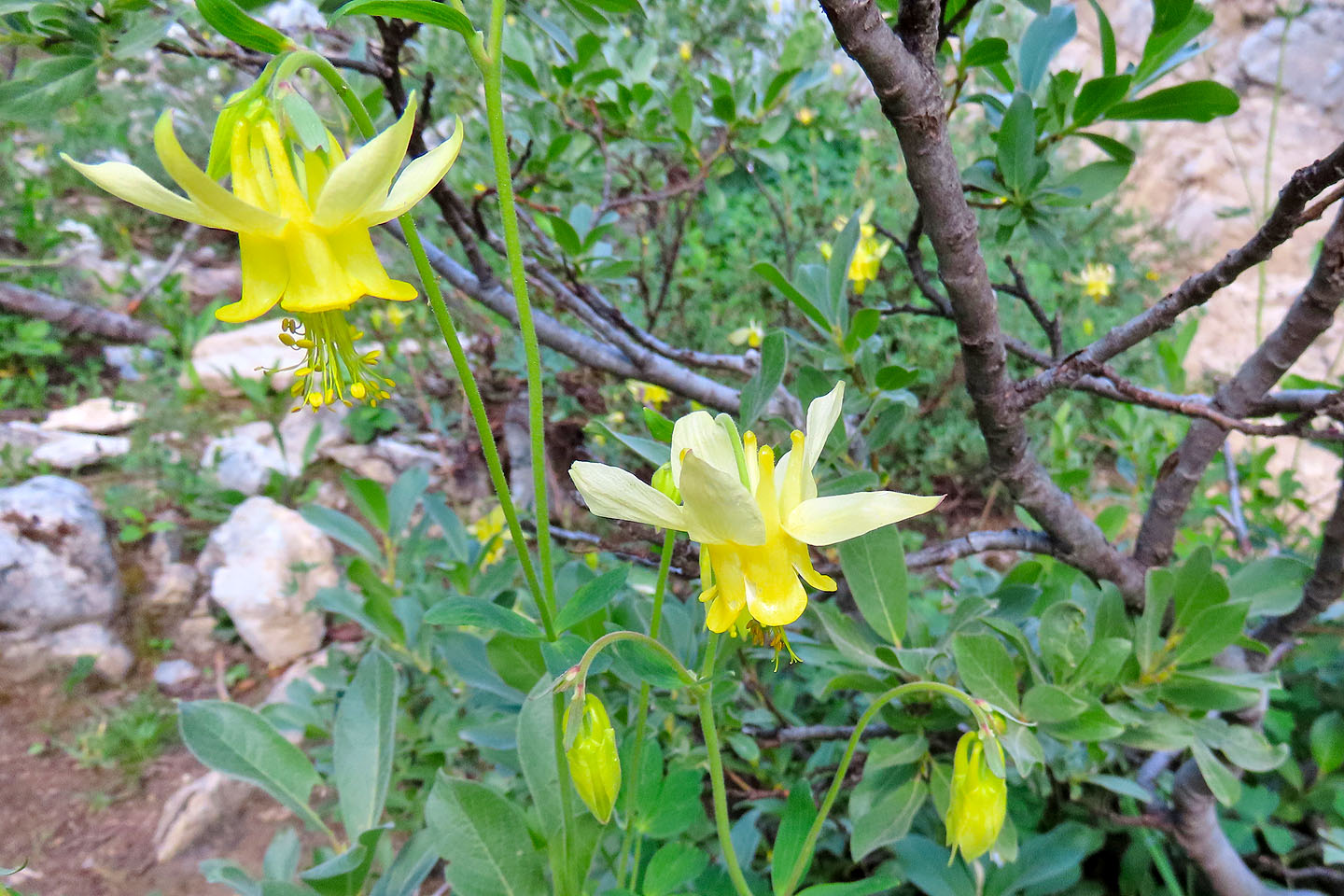
Columbine
The scenery opened up as we approached the treeline
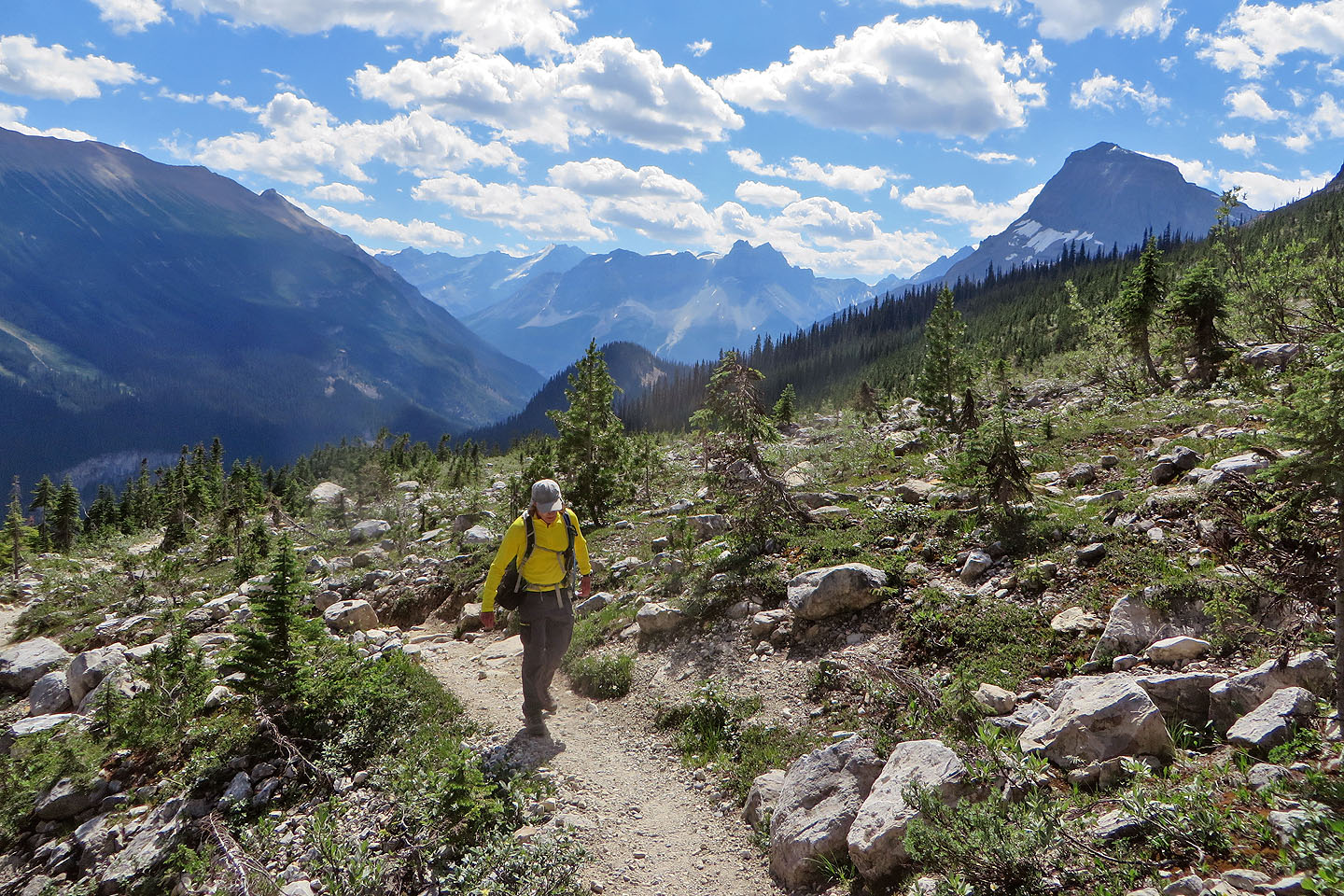
Looking back at Mount Ogden left and Wapta Mountain right
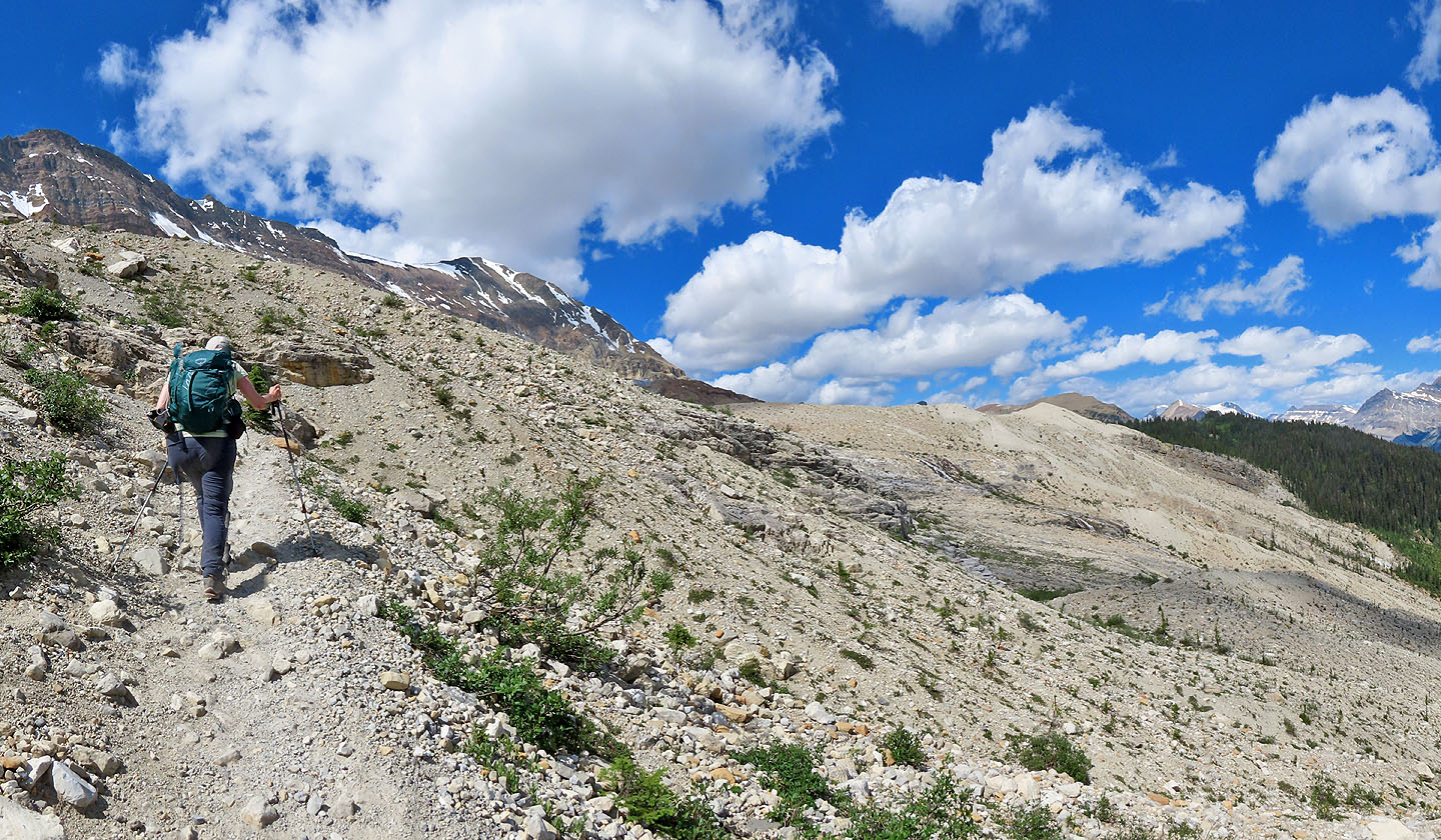
The trail continues climbing
Looking down at Takakkaw Falls (mouse over for a close-up)
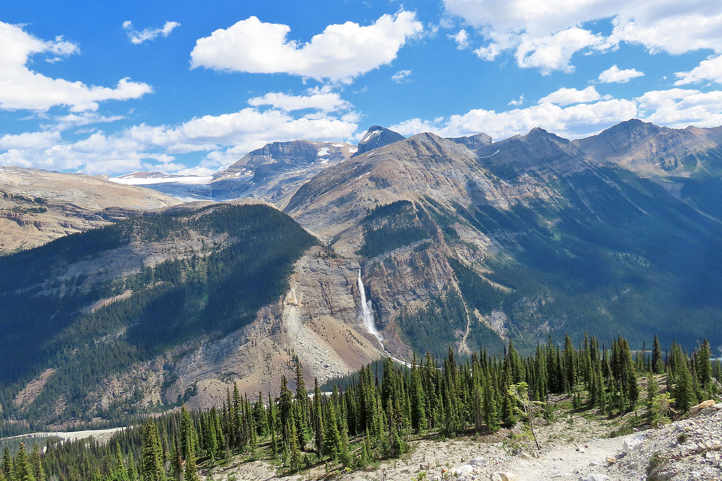
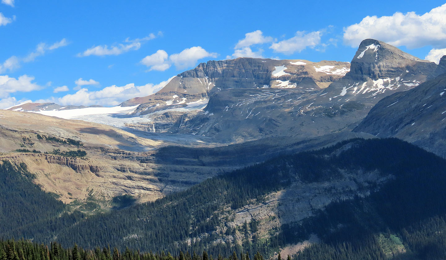
President Range rises above the plateau
People were scattered about, relaxing or exploring
Crossing a stream before the trail goes over a ridge
 Looking back. Wapta Mountain, centre (mouse over for a close-up)
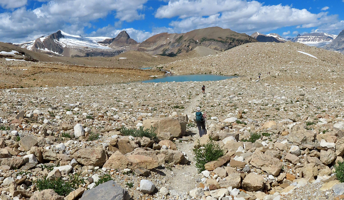
Coming up to the first tarn
Mount Balfour in the centre (mouse over)
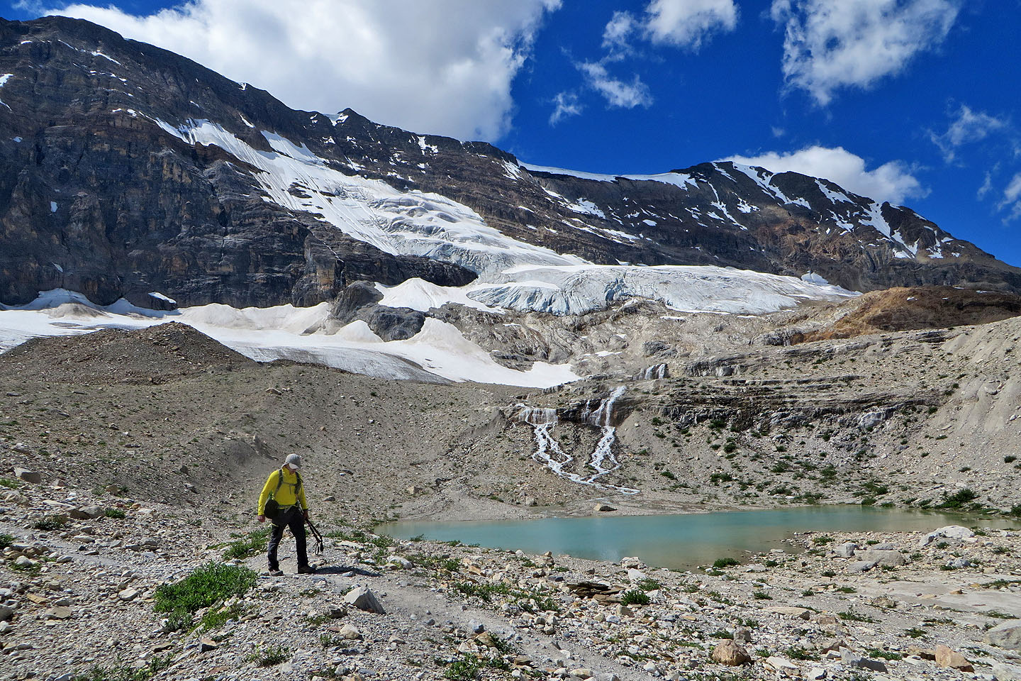
Runoff from Emerald Glacier feeds the tarn
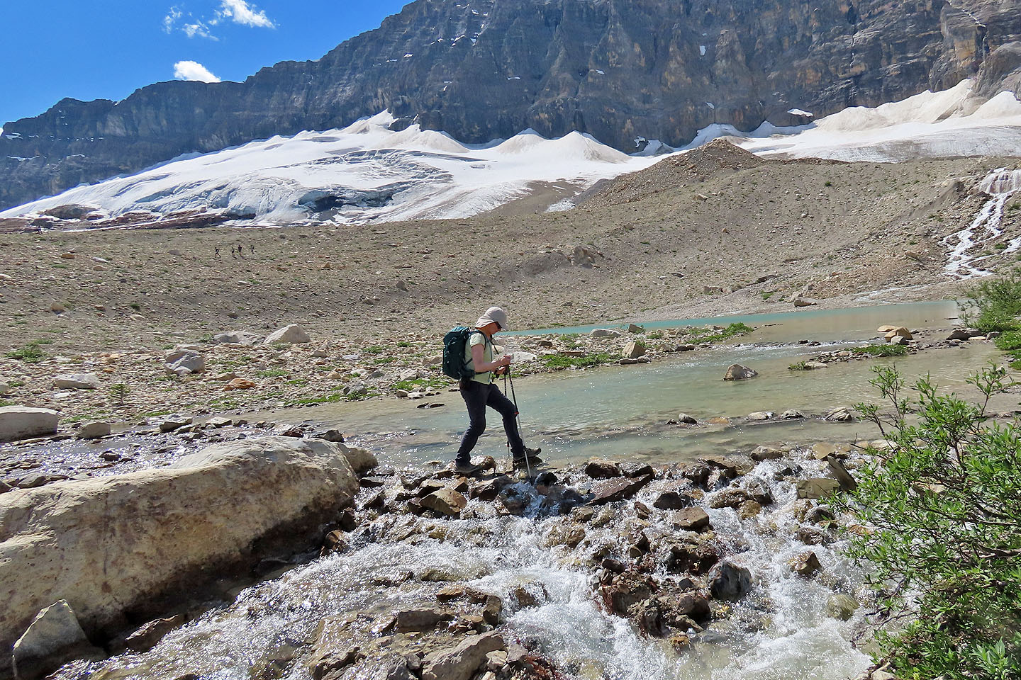
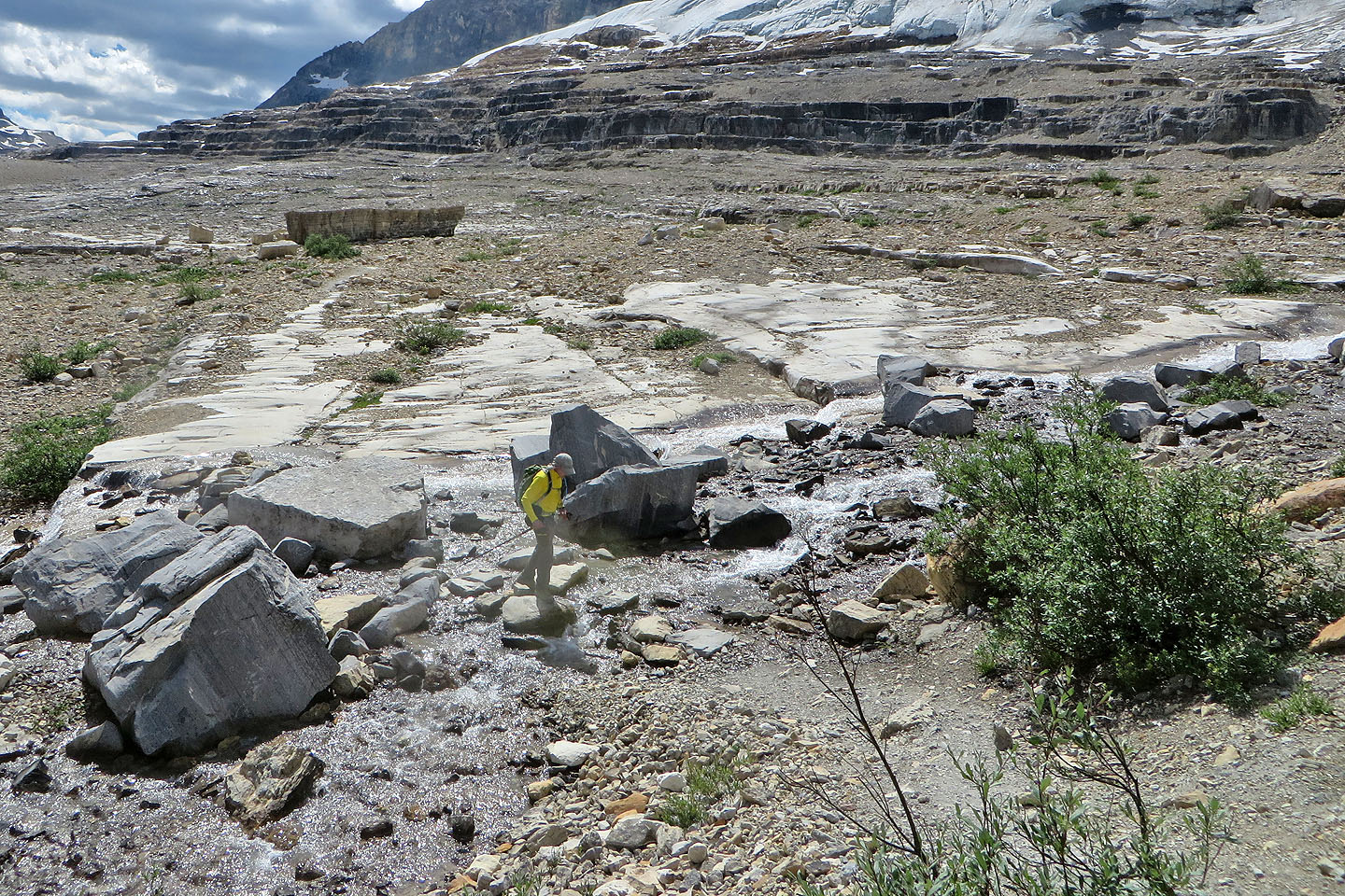
The trail crosses several streams
Behind us are Mount Daly and Mount Niles
Isolated Peak and Whaleback Mountain in the centre
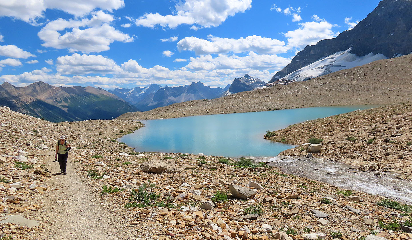
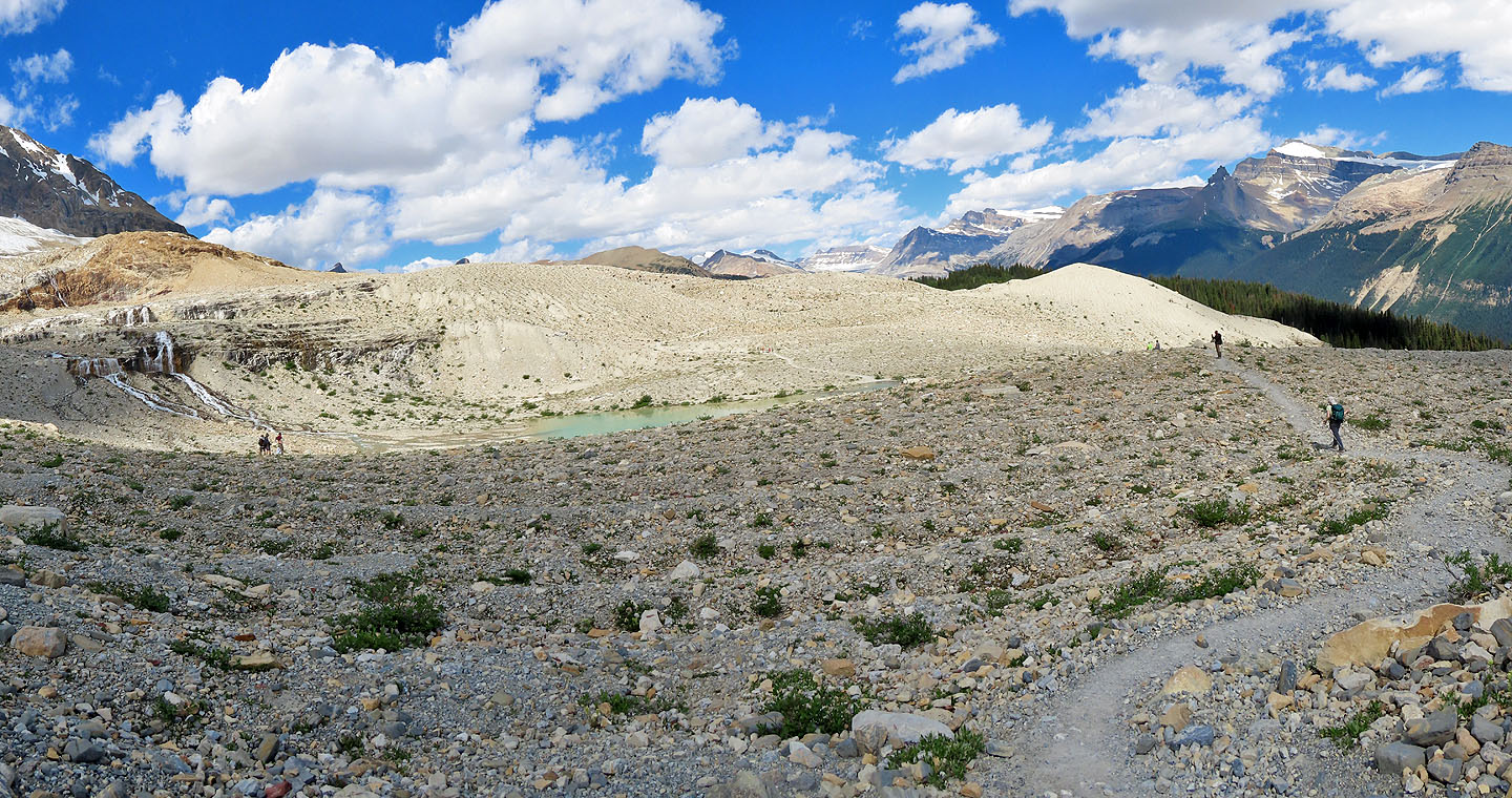
Passing the second tarn
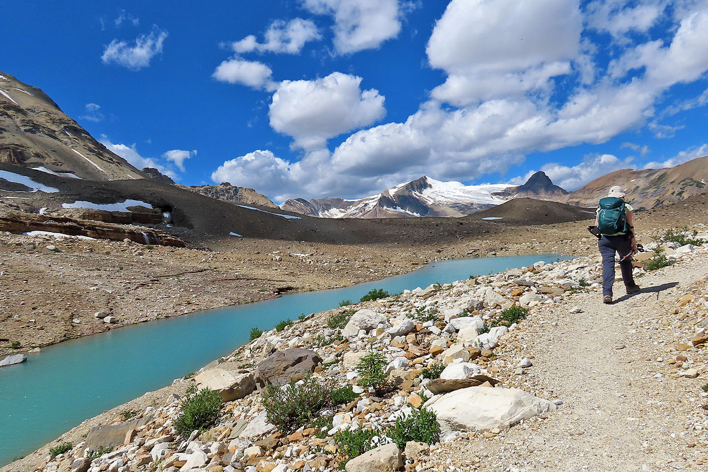
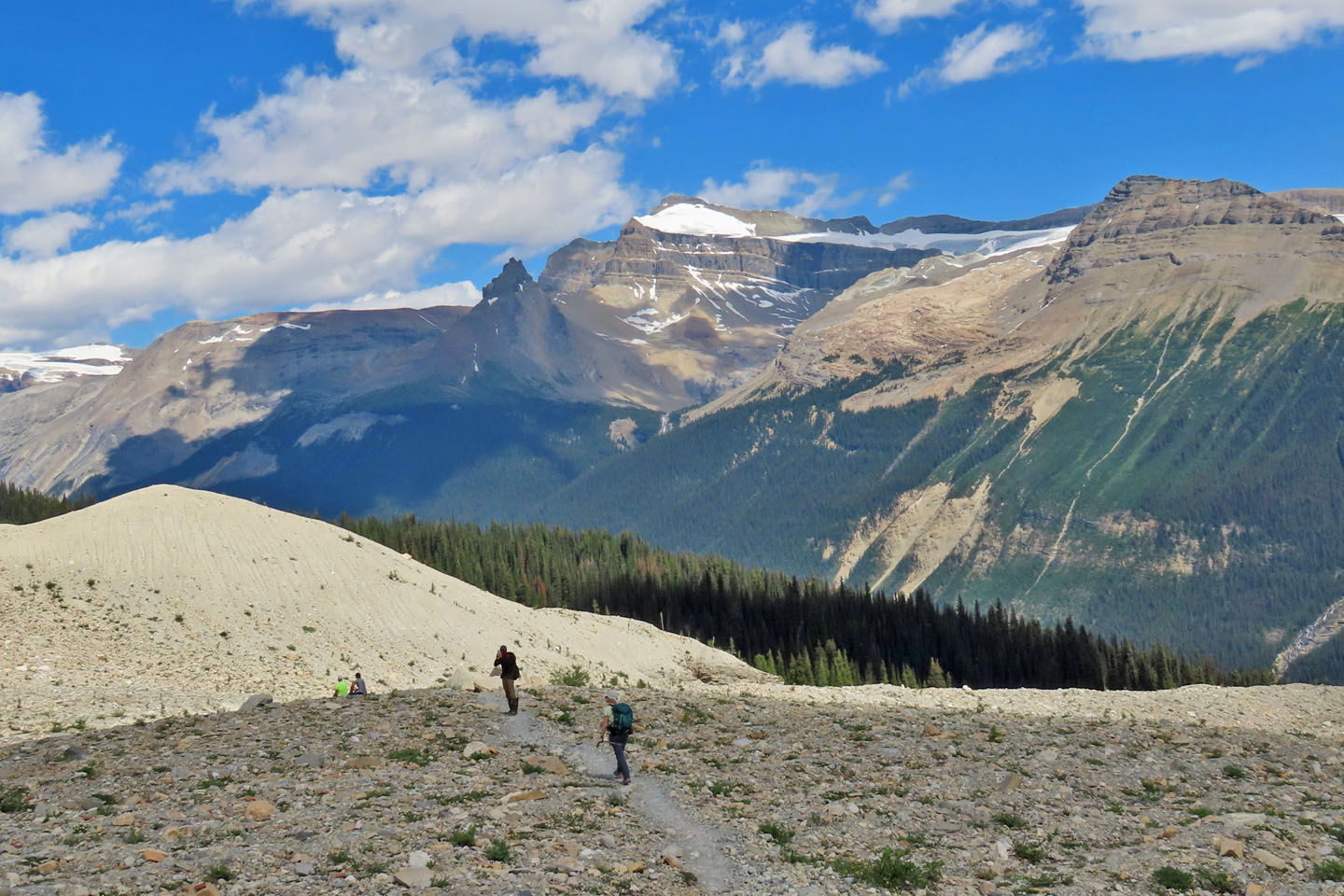
Passing the third tarn. Iceline Summit is the bump left of Dinah.
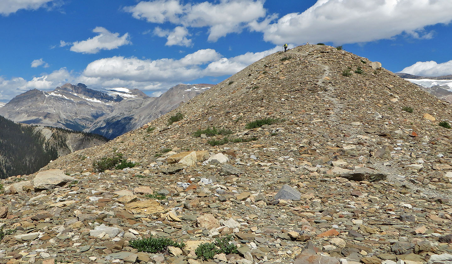
A path leads to the top
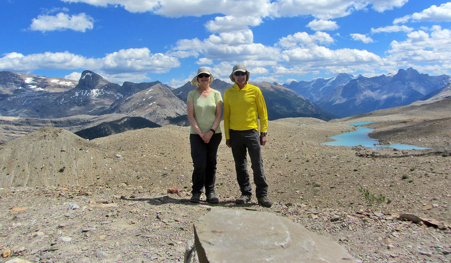
Posing on top
 82 N/07 Golden, 82 N/08 Lake Louise, 82 N/09 Hector Lake, 82 N/10 Blaeberry River