bobspirko.ca | Home | Canada Trips | US Trips | Hiking | Snowshoeing | MAP | About

Cottonwood Peak
Red Rock Canyon NCA, Nevada
January 13, 2019
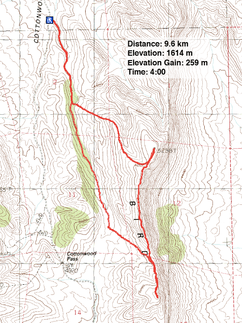
Distance: 9.6 km (6.0 mi)
Cumulative Elevation Gain: 365 m (1198 ft)
Birdspring Range, lying on the edge of the southwest corner of the Las Vegas Valley, bears a few minor points. A long ridge connects Peak 5300 and Cottonwood Peak, as called by Peakbagger.com, while a high point between them is called Cottonwood North Peak according to its summit register. However, the three high points are close in height.
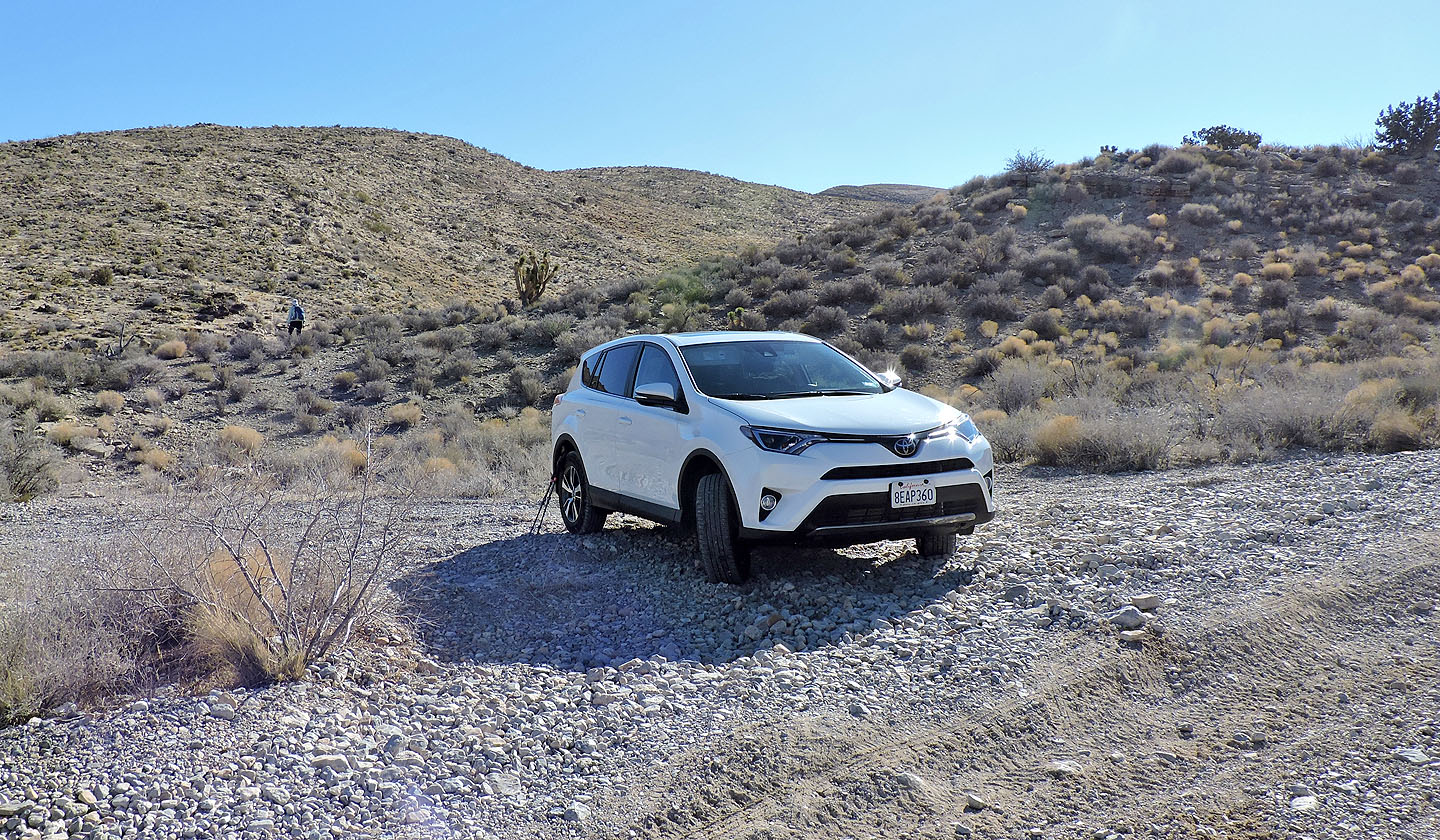
There is no crest trail, but Cottonwood Pass Road and a trail running to Cottonwood Pass offer access to the base of the ridge. Lacking 4WD, Dinah and I didn't attempt to drive to the pass, opting instead to park at a pullout 500 m south of a large parking area. It was as far as we dared drive on the rough back road.
From the pullout, we hiked across the end of a low ridge and soon stepped onto the trail to Cottonwood Pass. We hiked up the trail until we reached a gentle spur that leads to Peak 5300. We trudged up the featureless landscape to the crest and made our way to the broad summit where a small cairn held a geocache. According to my GPS, this was the highest point.
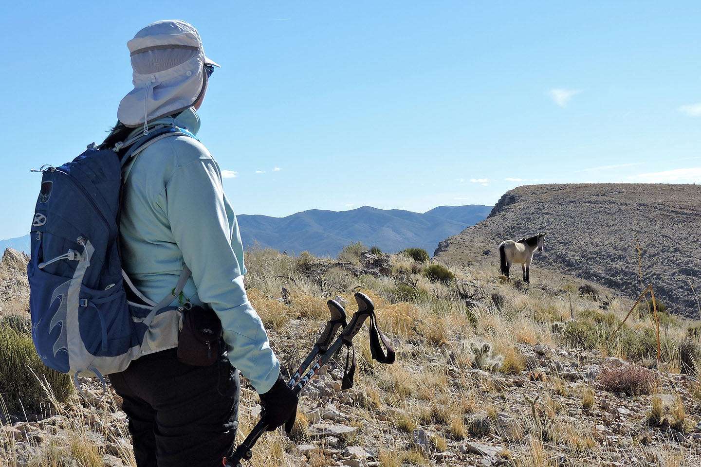
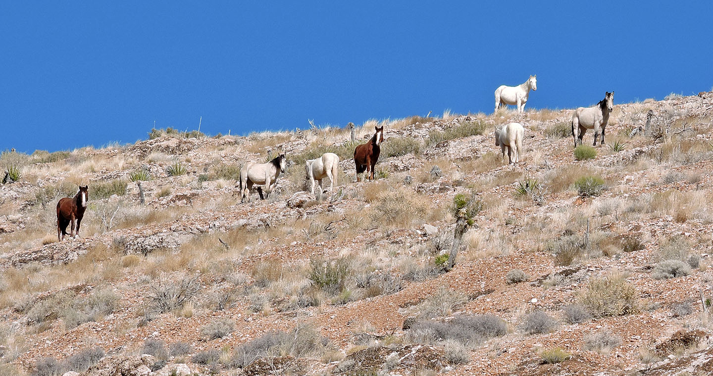
Further along the ridge, we saw a white wild horse grazing just below the crest. After we passed the animal, we encountered six more horses. We tried to give them a wide berth, but with the horses on our right and a drop-off on our left, there was little room. The wild animals did, though, move a short distance away, dropping lower on the slope when we drew near. Even so, we passed within 20 feet of one of them.
Turning our backs to the horses, we turned our attention to Cottonwood Peak. We dropped down to a low point, crossed a road, and hiked to the summit. We found a register and signed it. The last entry was made three months earlier, when Dinah, along with Sonny and Shin had signed it. That's right, Dinah did these peaks twice.
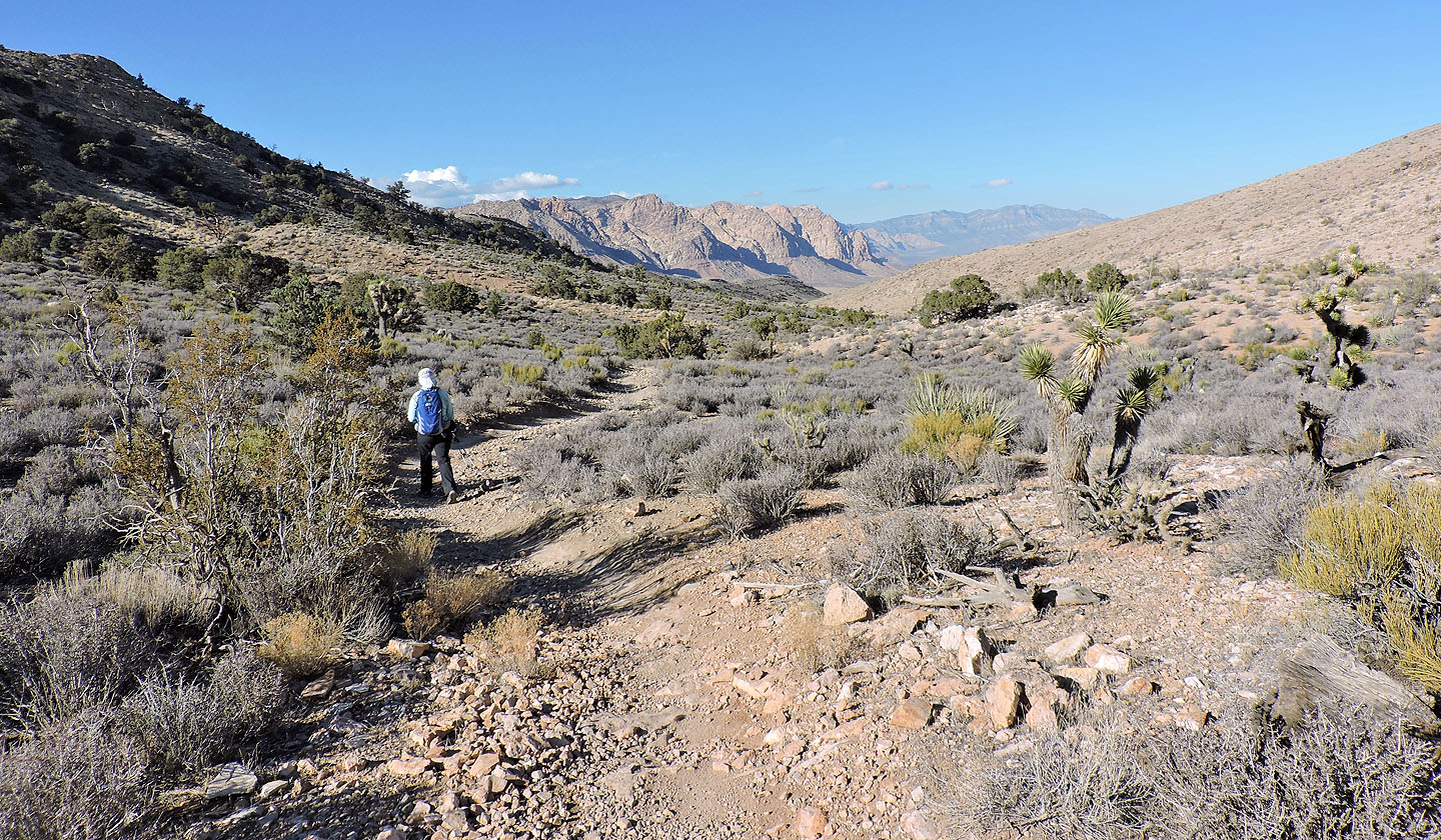
After adding our names to the register, we hiked down the west slope and made our way to the Cotton Pass trail. Our hike out was uneventful, except for letting mountain bikers zip past us. No doubt this trail would be a blast, but focused cyclists would probably miss seeing the wild horses we were so close to.
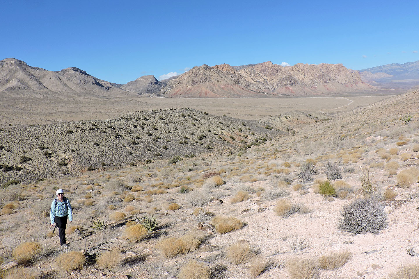
From a gravel pullout, we crossed the end of a ridge to reach the trail going to Cottonwood Pass
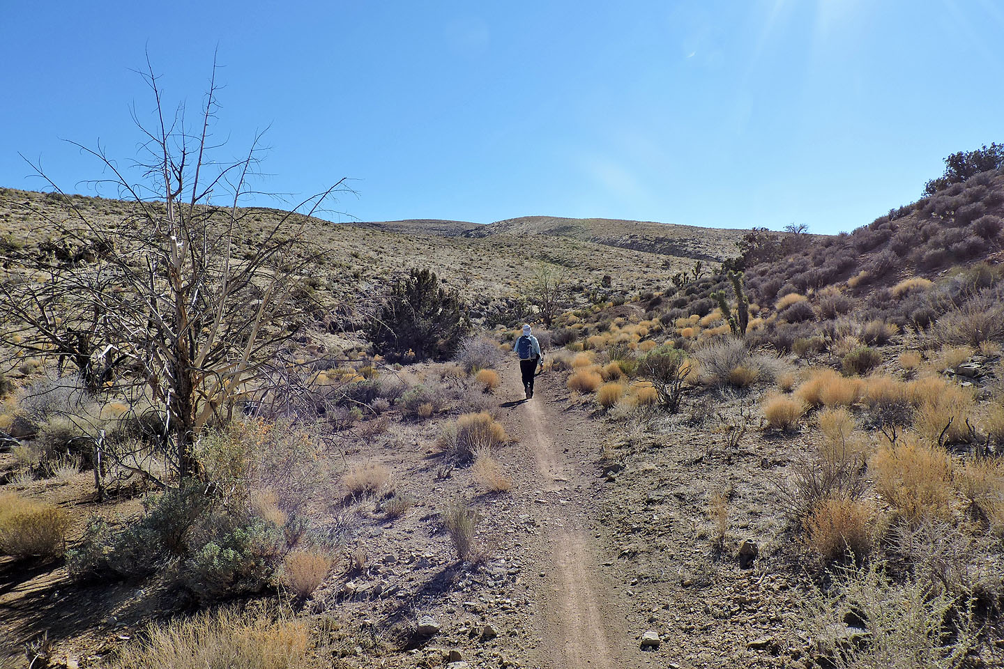
We enjoyed hiking up this trail
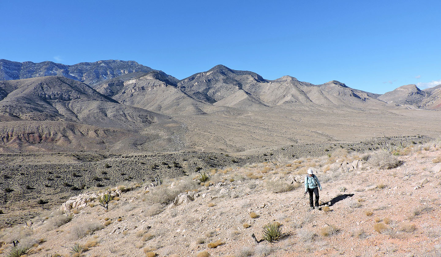
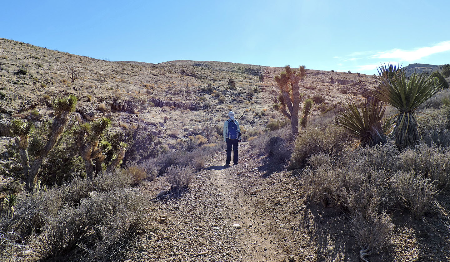 We'll soon leave the trail to ascend the low spur ahead
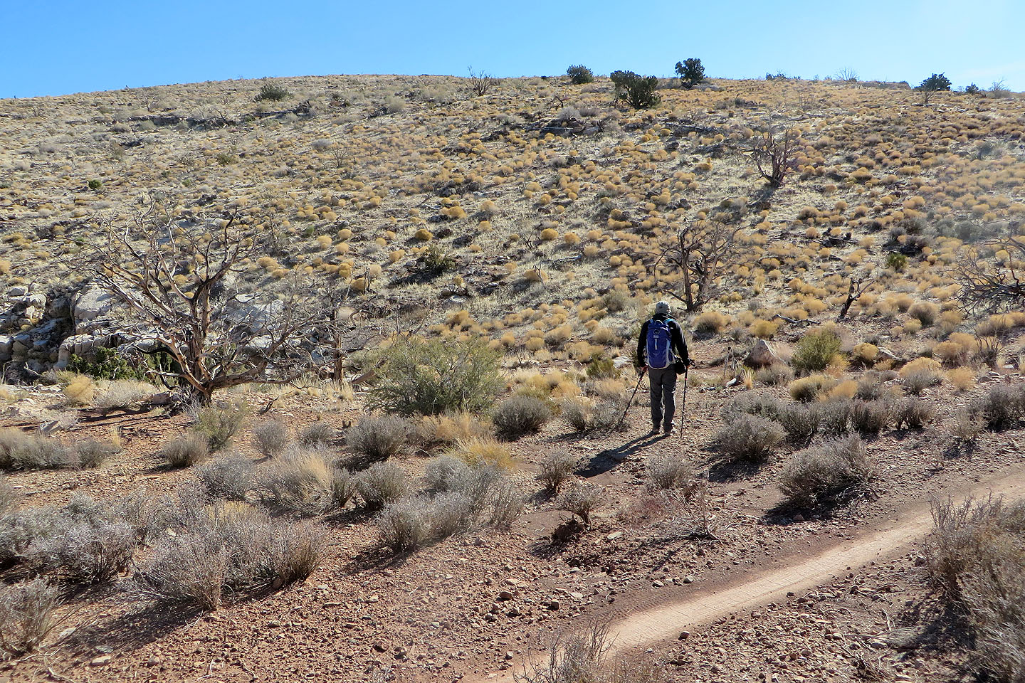
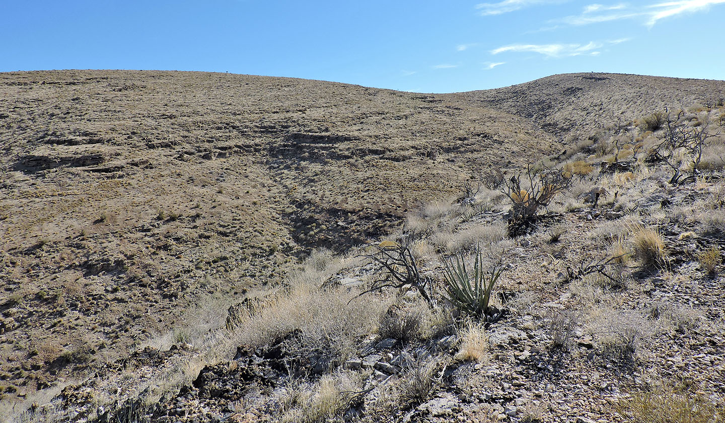
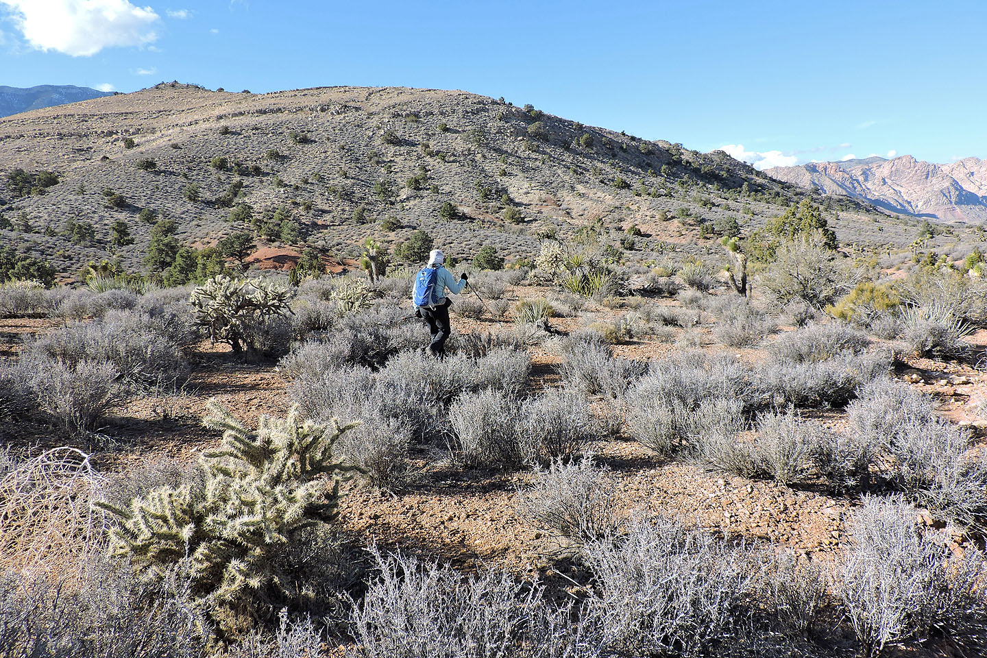
We left the trail and started up the spur
Looking back after starting up. Windy Peak in the centre.
Potosi Mountain lies west
We followed the spur as it curled around to meet Peak 5300
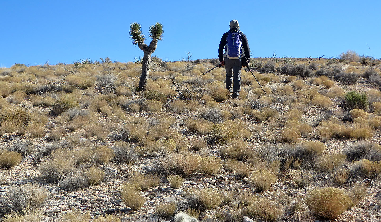
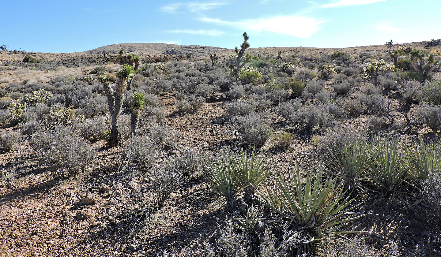
A lone Joshua tree stands out on the featureless landscape
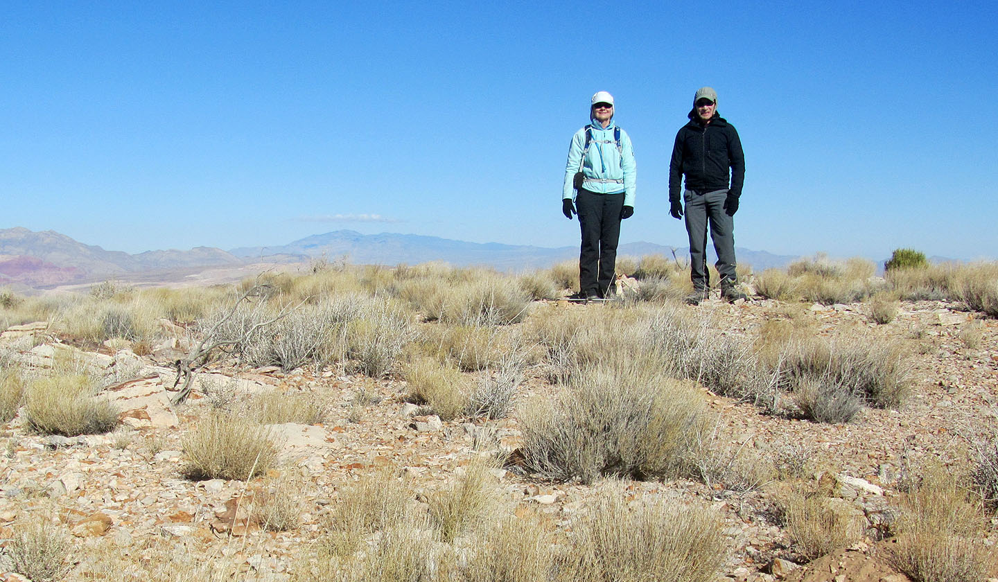
Standing on Peak 5300
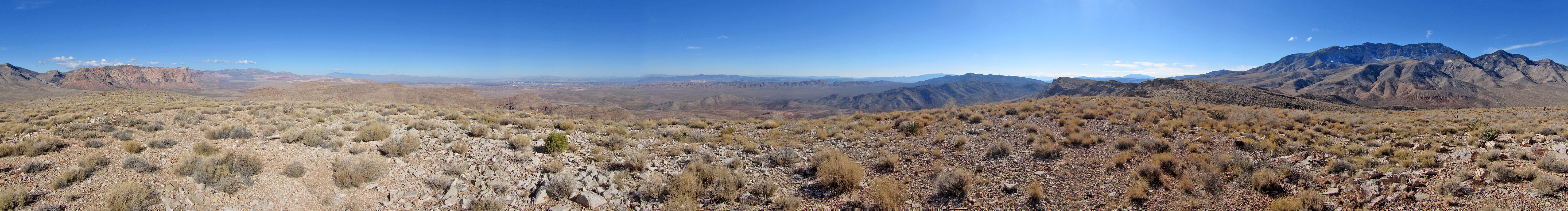
Panorama on 5300
Cottonwood Peak (left) appears far in the distance
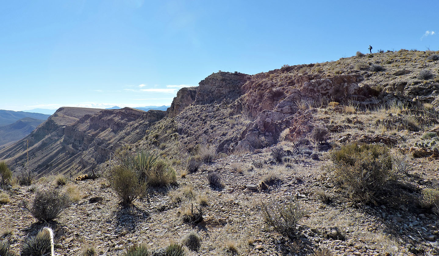
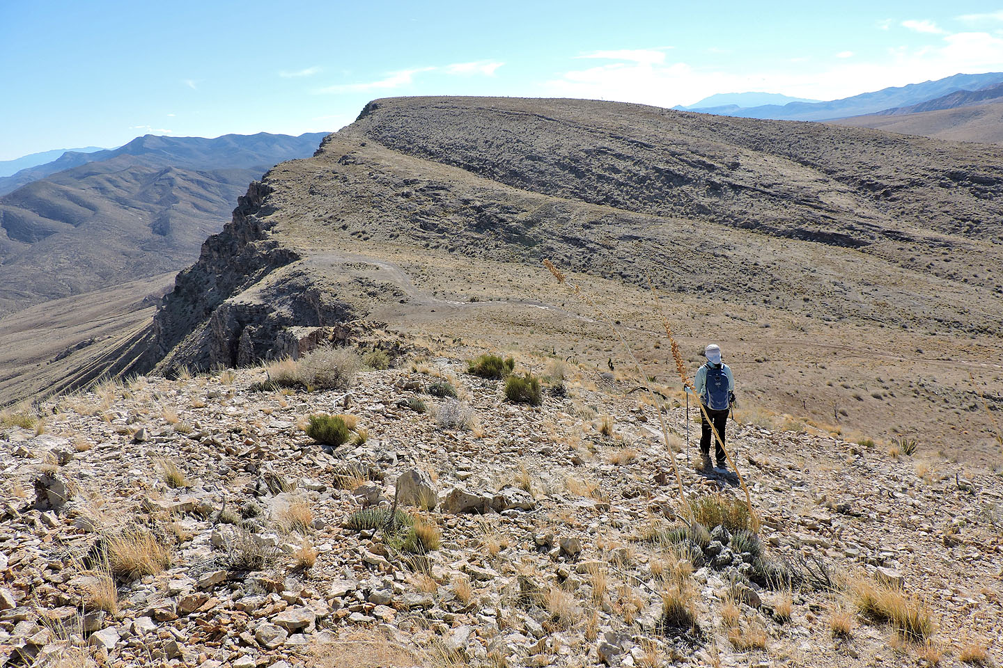
On our way to Cottonwood Peak, we stuck close to the ridge crest
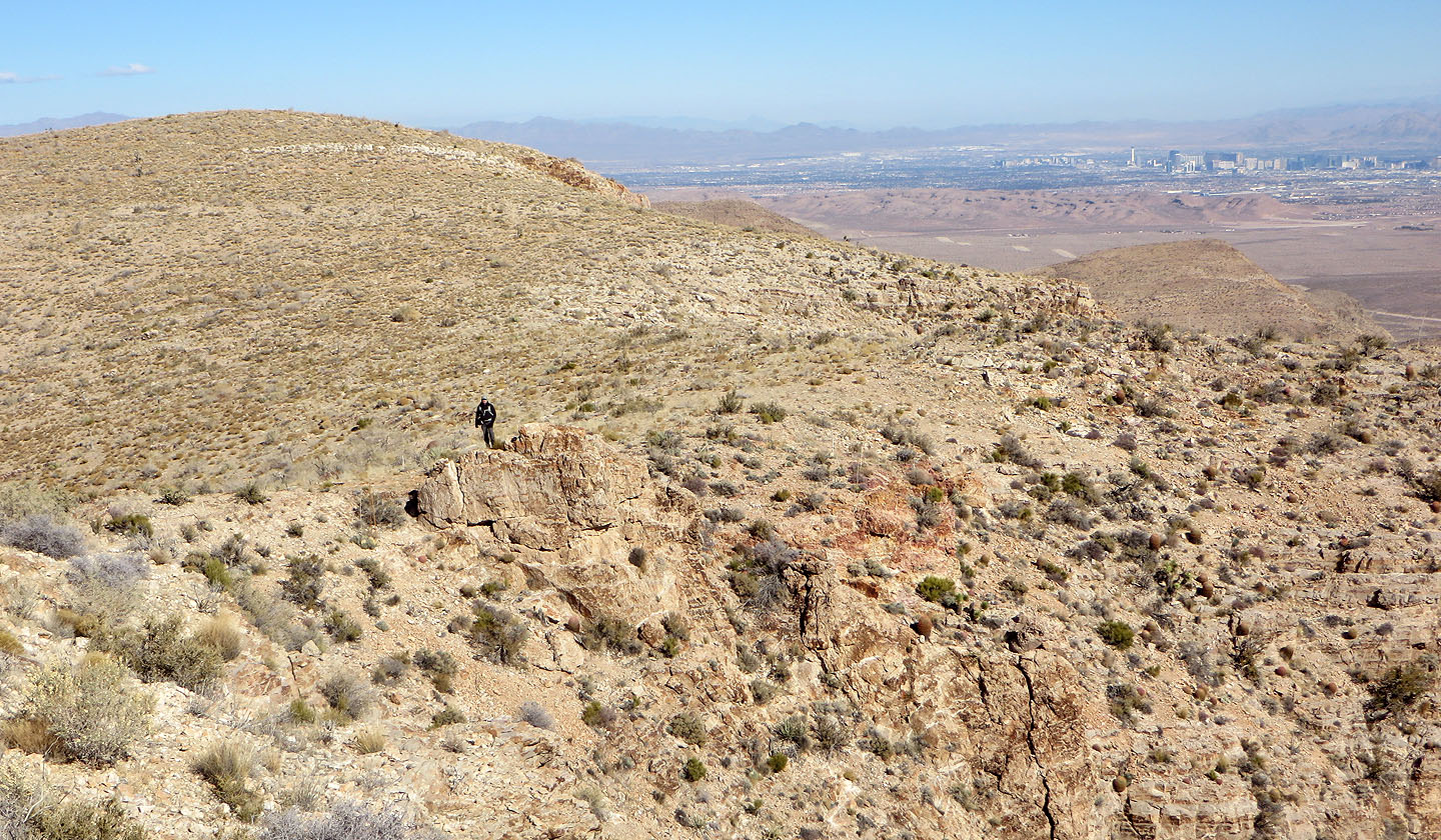
Looking back at Peak 5300. Las Vegas appears in the distance.
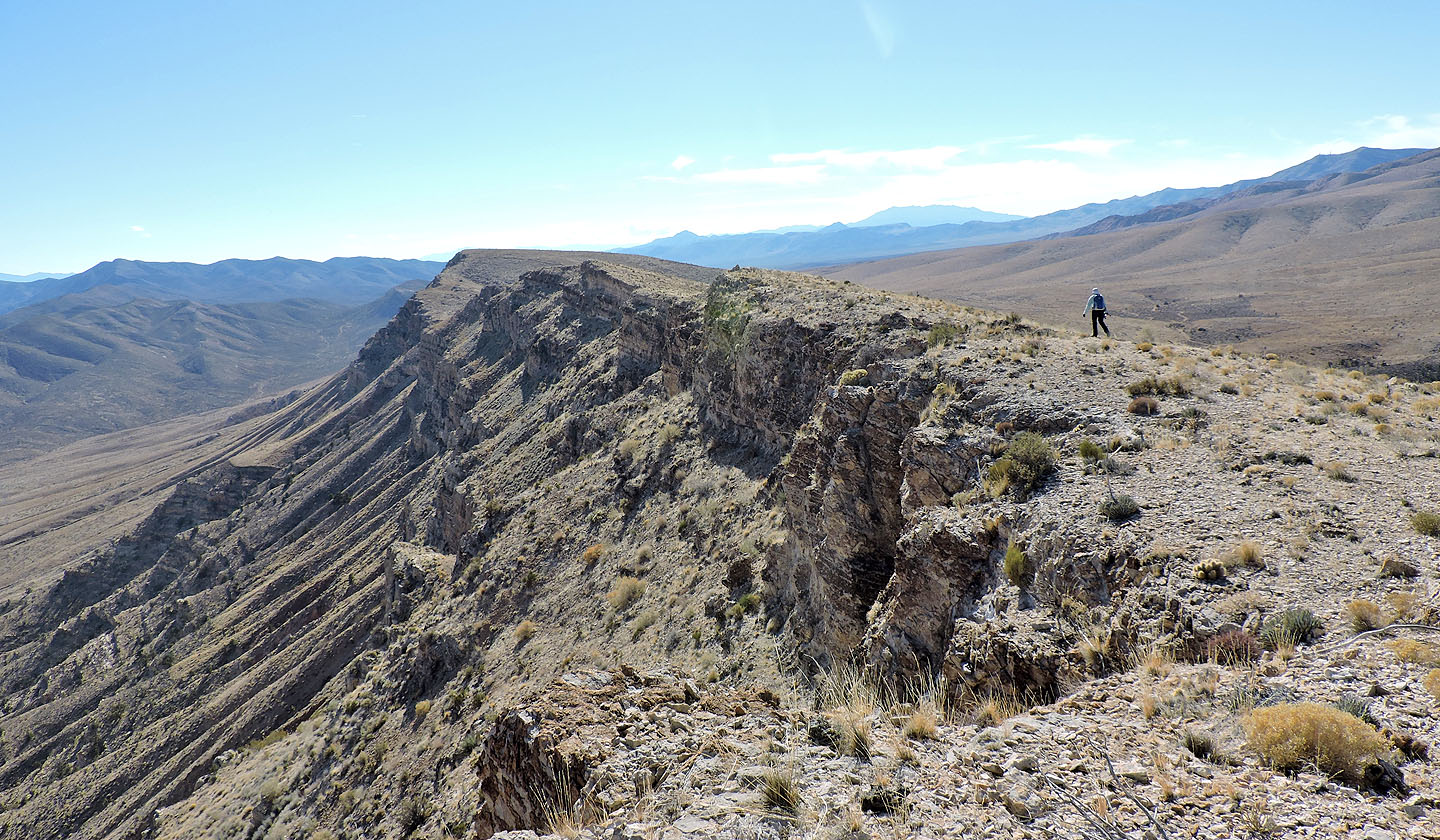
Continuing along the ridge
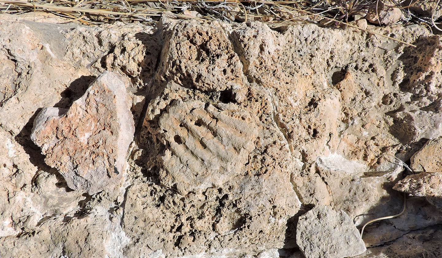
Fossil
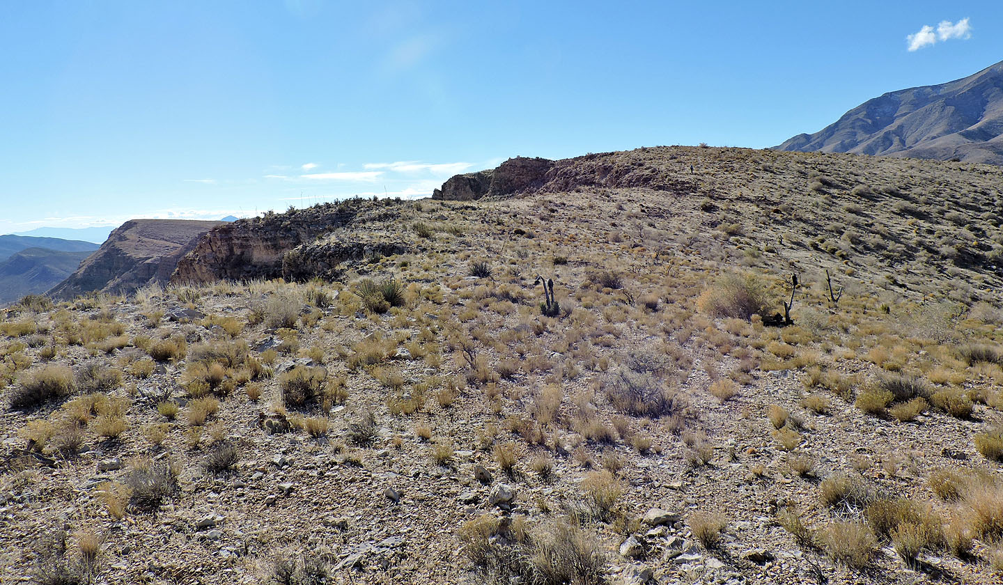
Most of the ridge was a stroll in the park
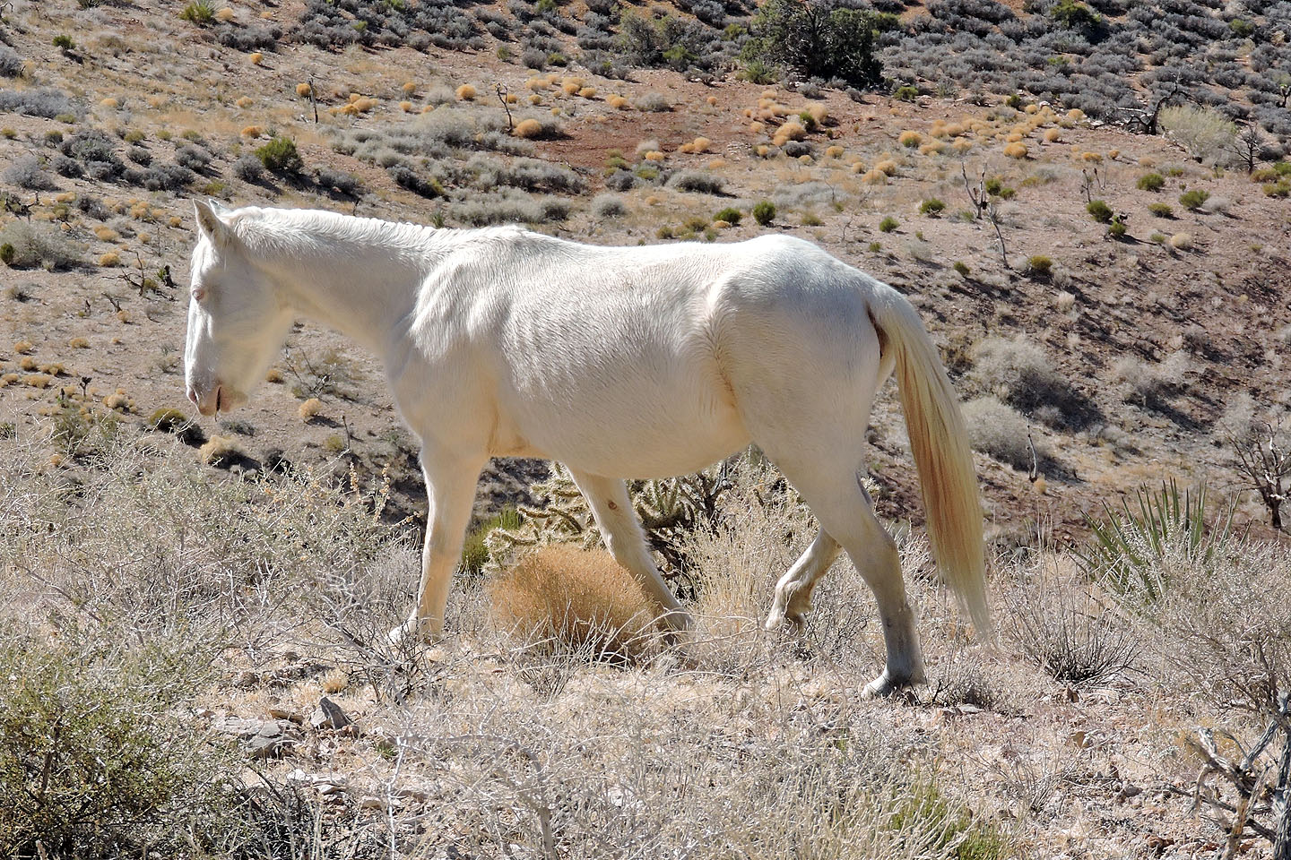
The first wild horse we saw was this white one
Next we saw this beautiful tan horse (mouse over for a closer look)
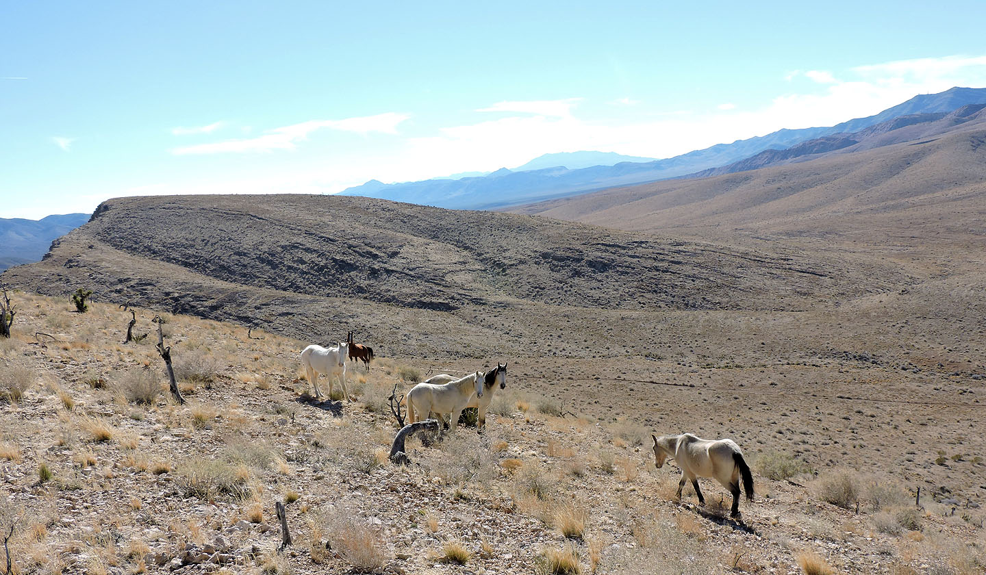
There were seven horses altogether although they made no attempt to keep together for a group photo
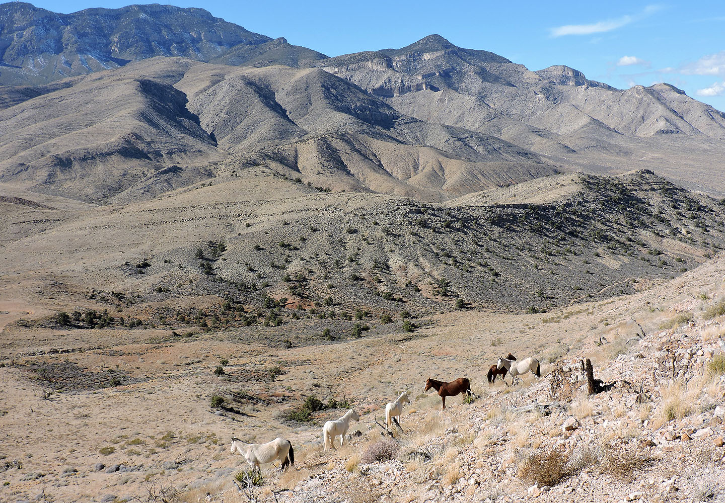
We left the horses behind us (mouse over for a close-up). Below, right, is the trail we followed back.
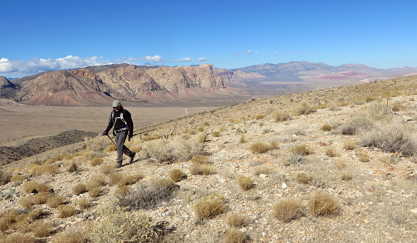
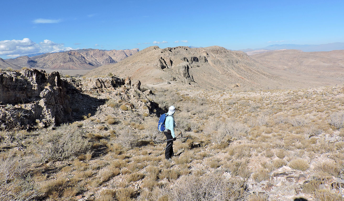
On our way to Cottonwood Peak
Looking back at Peak 5300 after starting up
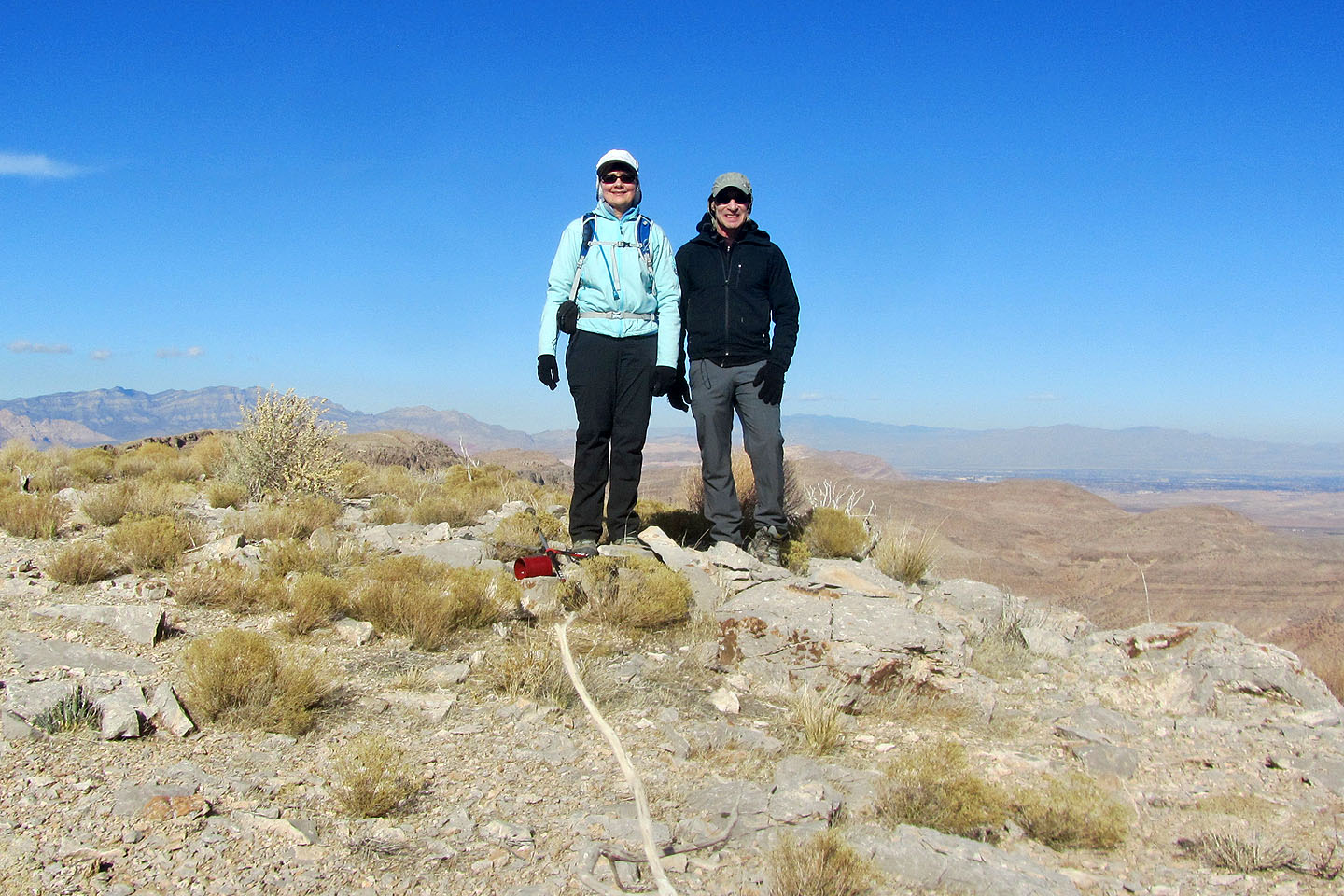
On the summit. The red can is the summit register.
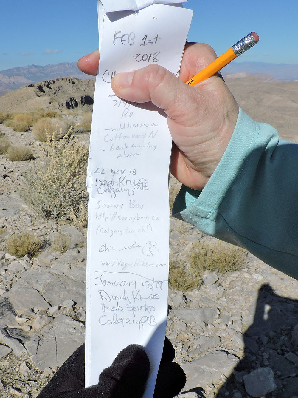
Dinah had signed the summit register less than three months earlier
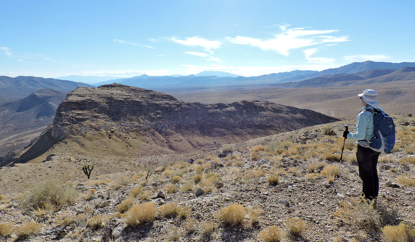
Mount Roses Are Free is the next high point south. Appearing next to Dinah's hand is a mountain sheep.
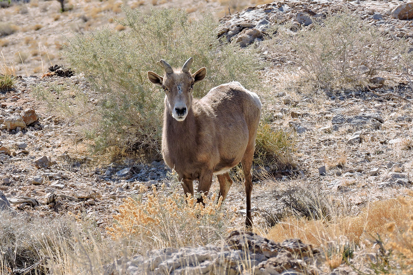 A closer look at the sheep
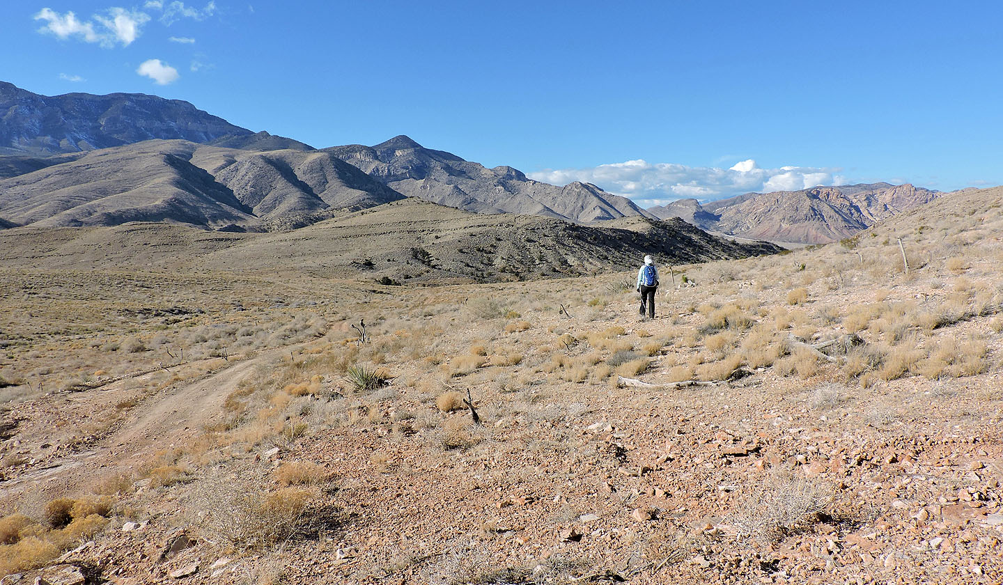
Heading down to catch the Cottonwood Pass trail
We passed under the wild horses
On the way to the trail we passed through pleasant desert scenery
Looking back at Cottonwood Peak
Back on the trail
Cottonwood Pass (6.0 mi, 5295 ft, 850 ft)