bobspirko.ca | Home | Canada Trips | US Trips | Hiking | Snowshoeing | MAP | About
Bonanza Peak
Spring Mountains, Nevada
September 27, 2012
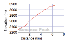
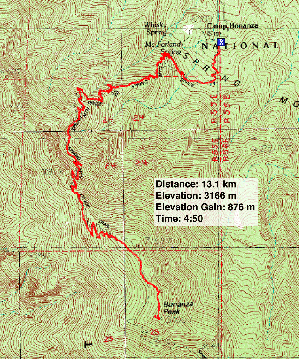
Distance: 13.1 km (8.1 mi)
Cumulative Elevation Gain: 903 m (2963 ft)
With highs around 32°C – well above normal – in Las Vegas, it wasn't a good time to visit hotter areas such as Lake Mead or the Mojave Desert. So Dinah and I turned to the nearby Spring Mountains where high elevations bring cooler temperatures. The trailhead for Bonanza Peak, for instance, sits at 2300 m, and that's where we headed.
You can get to the trailhead by driving down Cold Creek Road. Before reaching the trailhead, however, you can expect to see wild horses. We saw dozens of them roaming on either side of the road. Most were in small groups spread out across the desert flats and hillsides, but at one point we stopped to allow a herd of ten horses to cross the road.
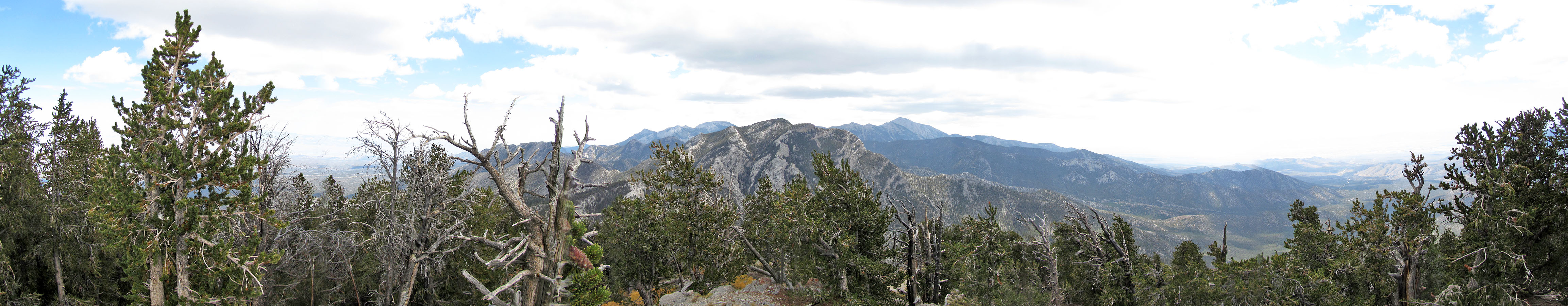
After the town of Cold Creek, the road switches from pavement to gravel. Two miles farther on, it ends at Bonanza Peak trailhead. The trail and its scads of switchbacks (over 70) take you to a saddle between Bonanza and Wheeler Peaks before turning south. The trail doesn't extend to the summit but instead follows the west slopes of Bonanza past the summit. A cairn marks the jumping-off point for a short but easy stretch of bushwhacking to the summit. Dense forest conceals the summit until you're practically on top of it, and the trees restrict views in all directions but south. But the four highest peaks in the Spring Mountains can be viewed: Mount Charleston, Mummy Mountain, Griffith Peak and McFarland Peak. You'll be standing on the fifth highest.
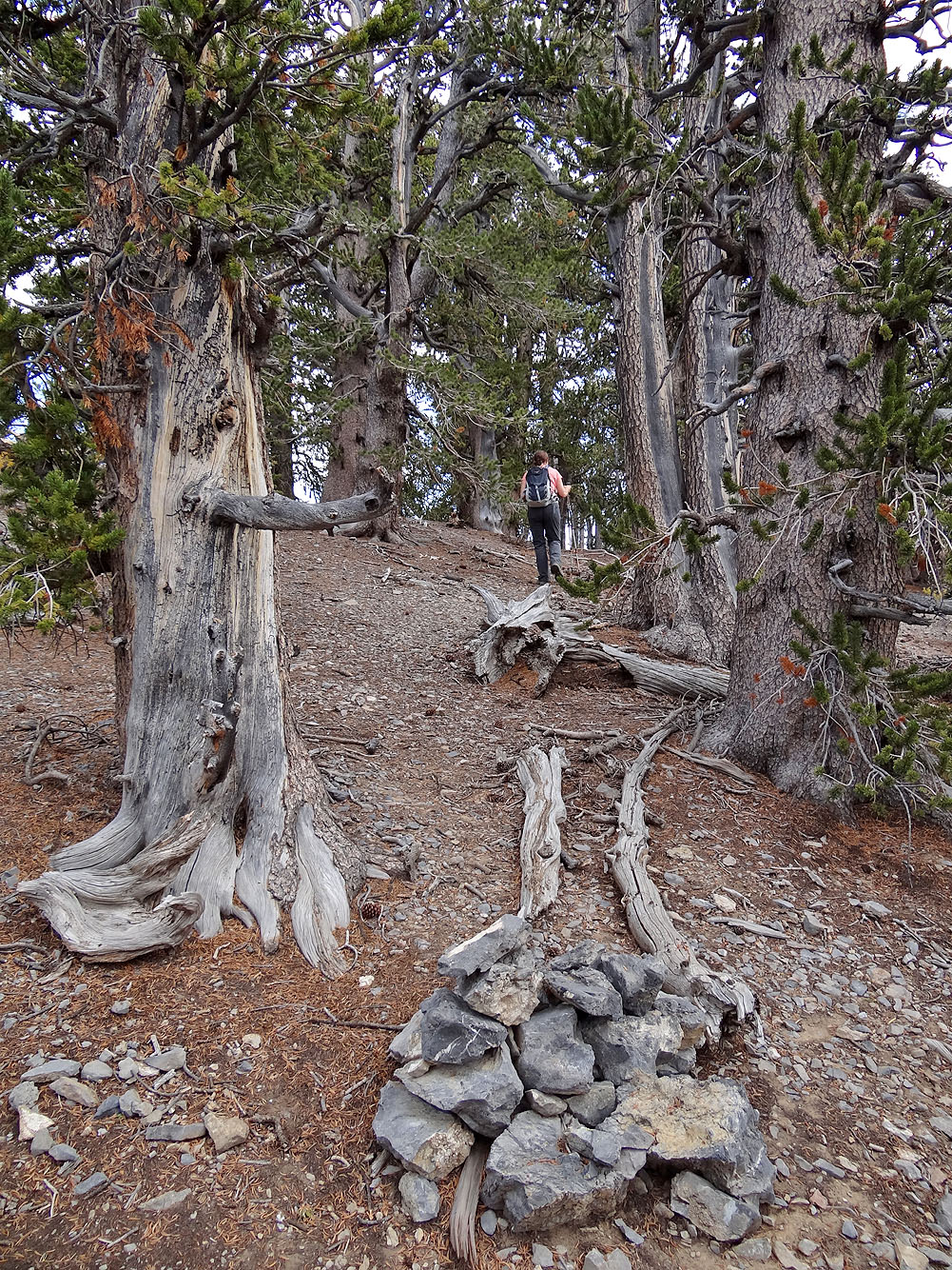
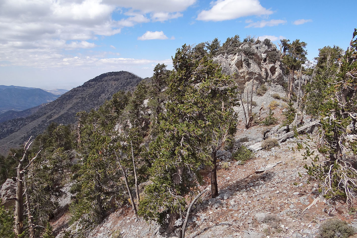
With few exceptions, the entire route is treed; this is a trip with little far-ranging scenery. But closer at hand, trees such as ponderosa and bristlecone pines are fascinating. And if the lack of scenery makes Bonanza Peak seem like an unrewarding objective, consider this: it's probably the easiest big peak in the Spring Mountains to climb.
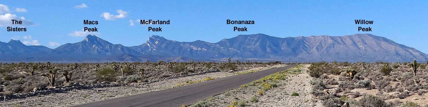
Peaks seen from Cold Creek Road
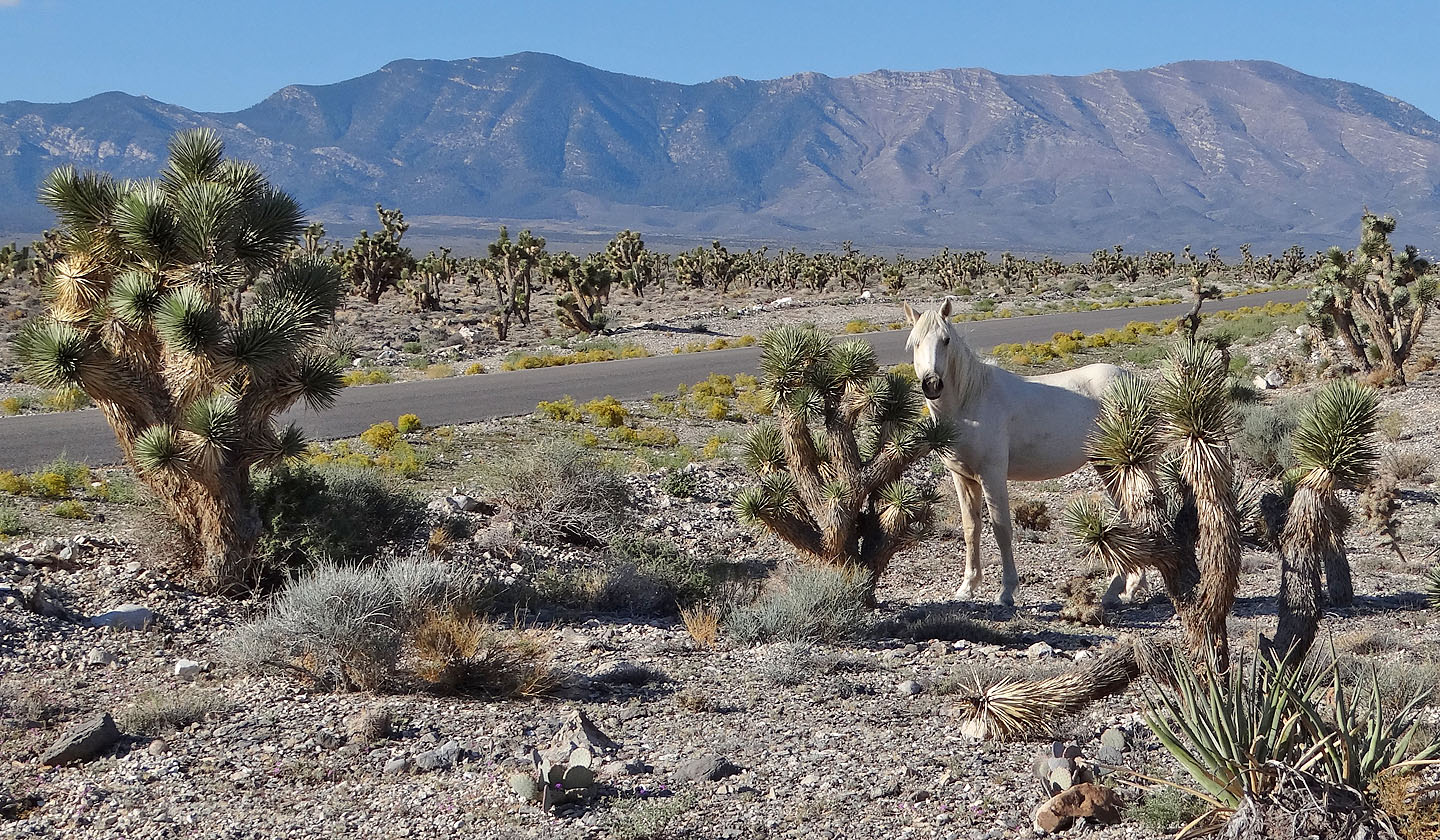
Bonanza Peak and a wild horse
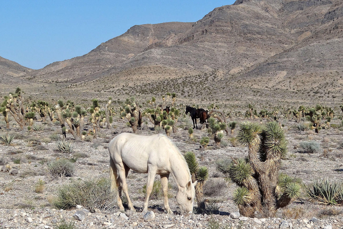
Wild horses were everywhere along the road (mouse over for another view of the white horse)
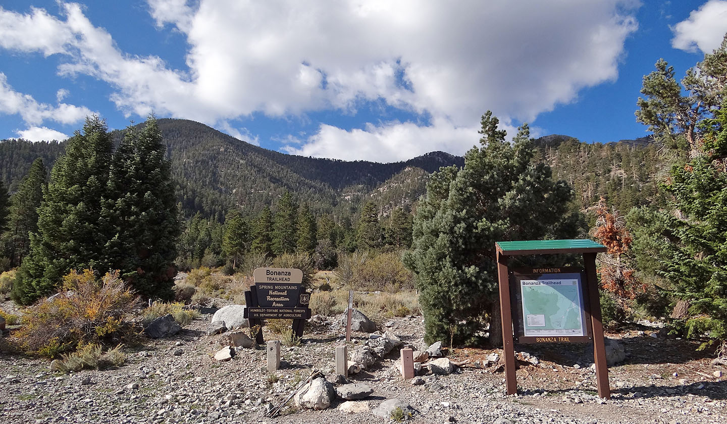
Bonanza Peak trailhead
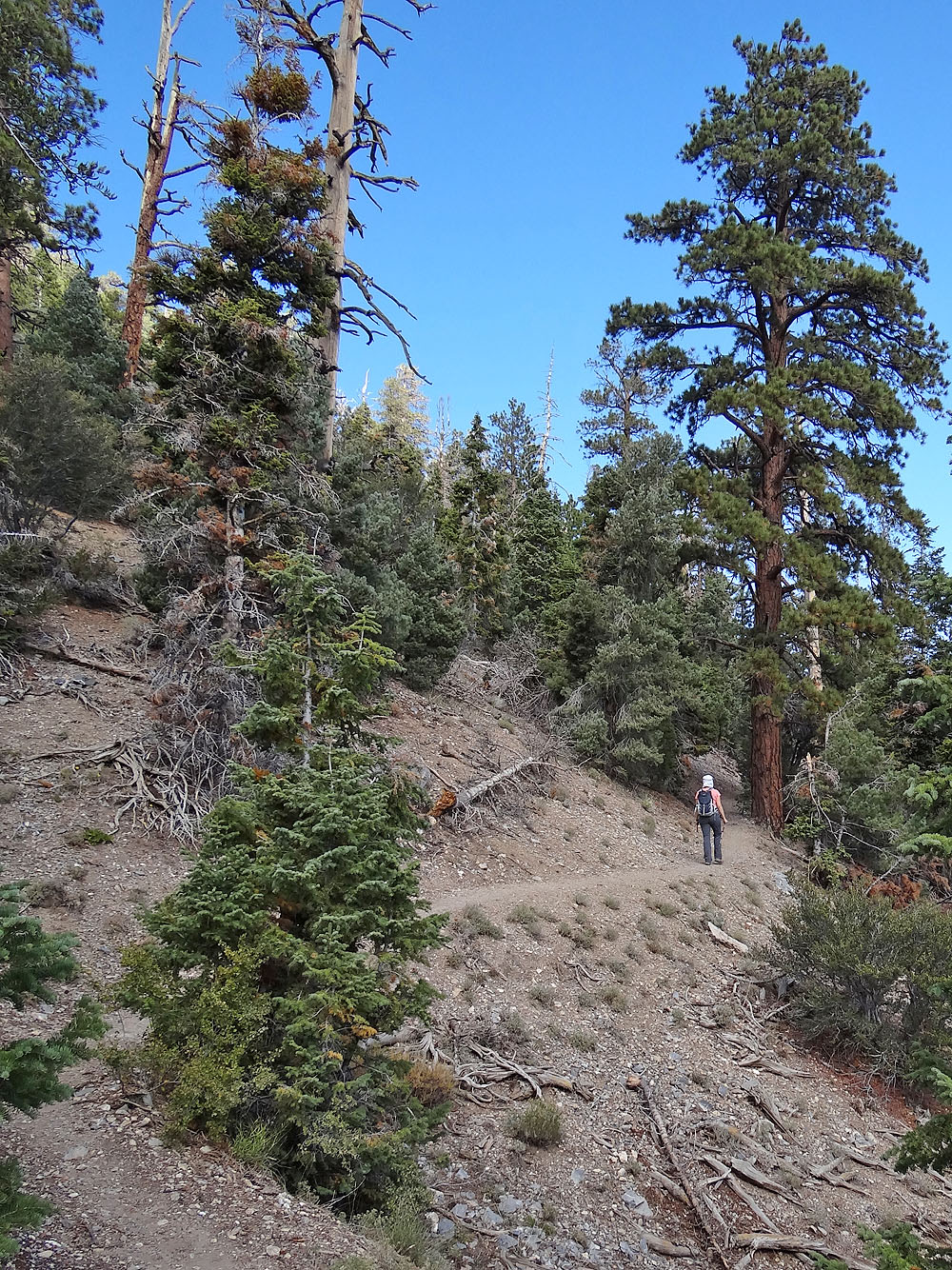
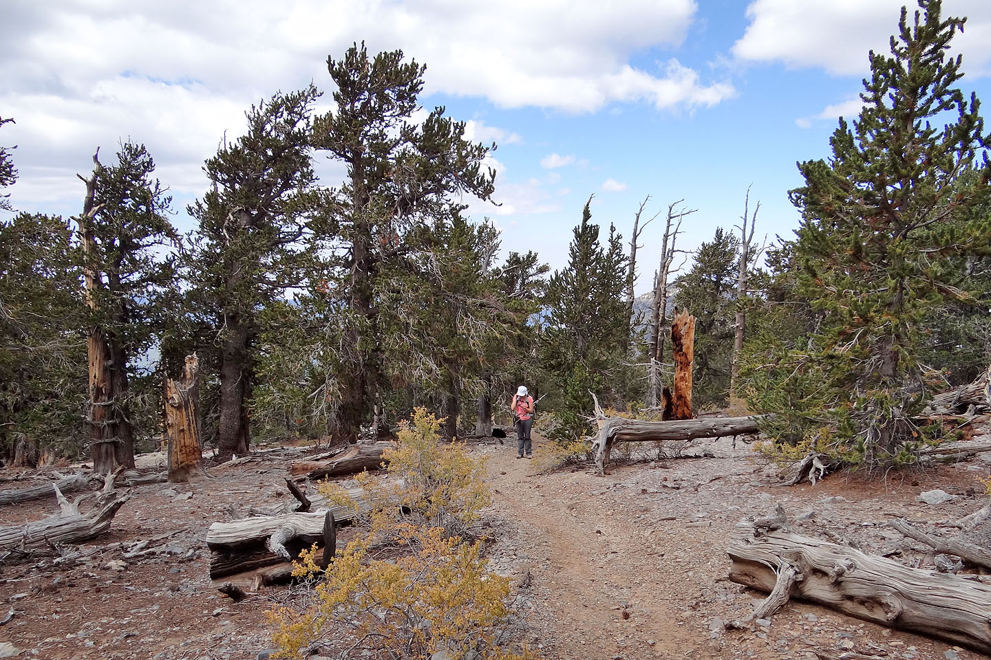
Ponderosa pines can be seen along the trail
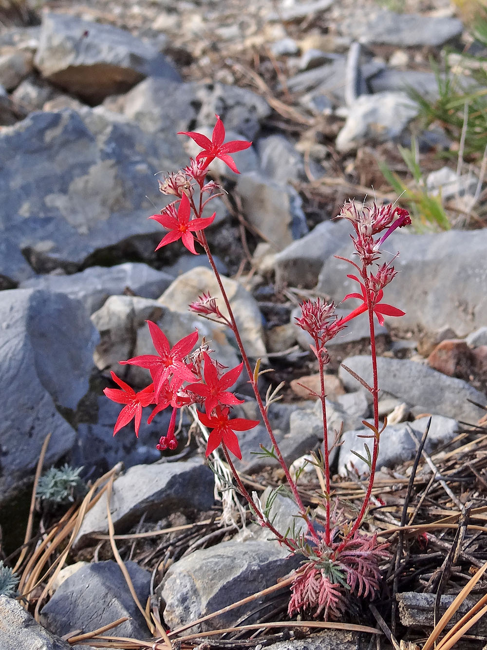
Arizona skyrocket
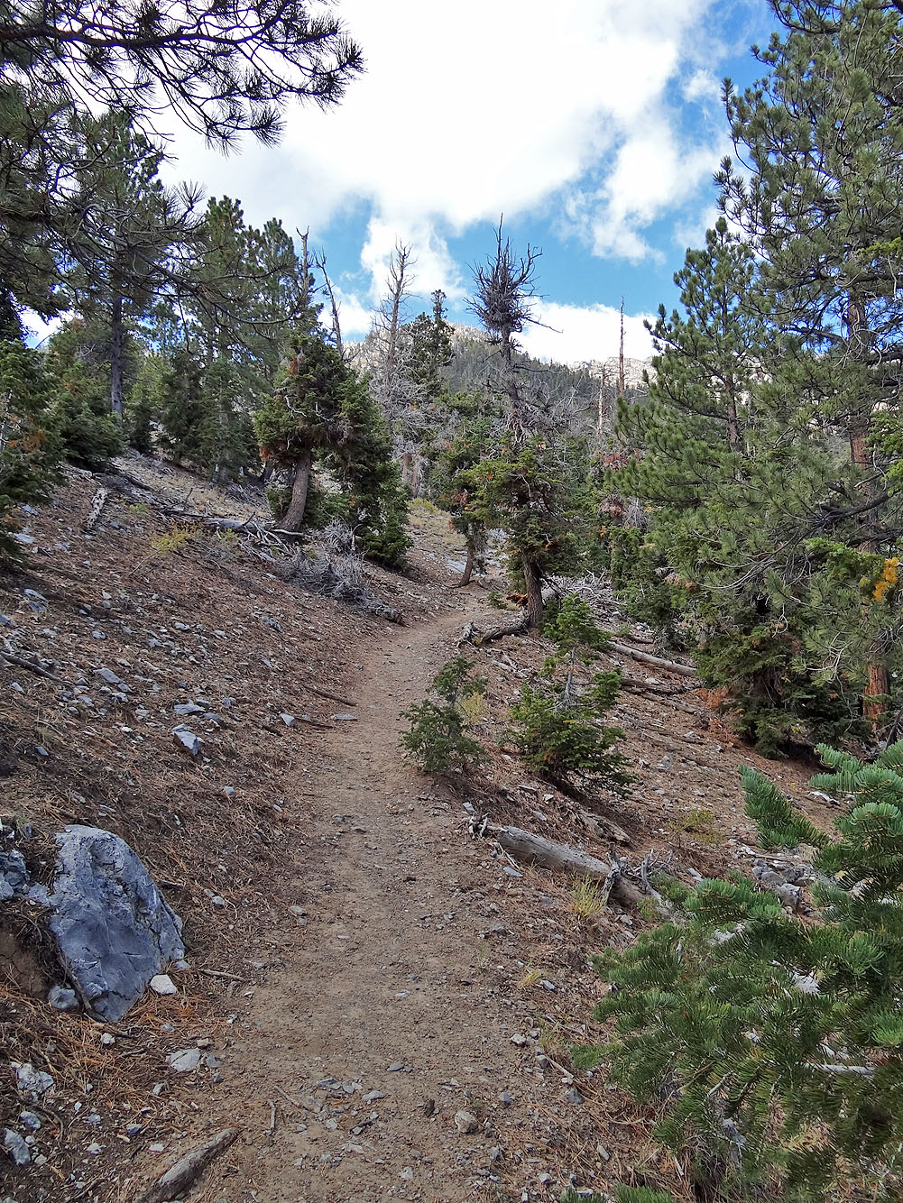
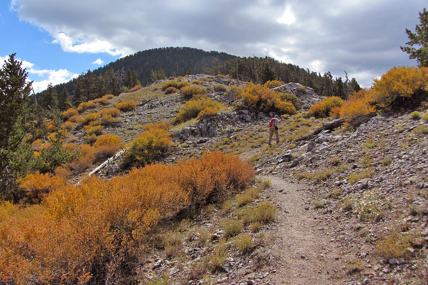
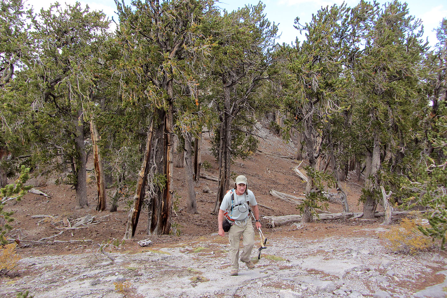
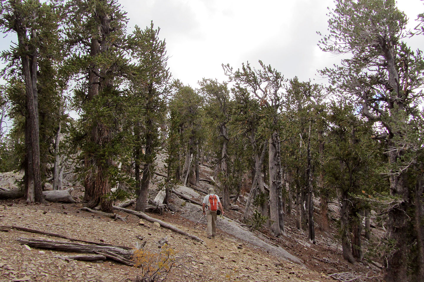
Typical section of trail
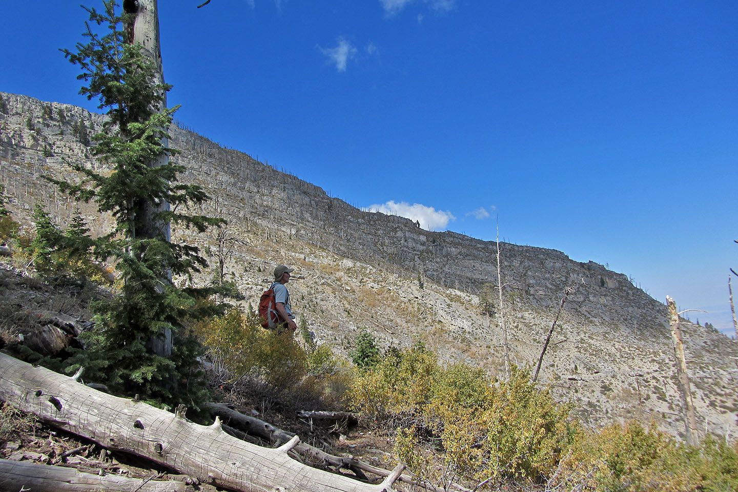
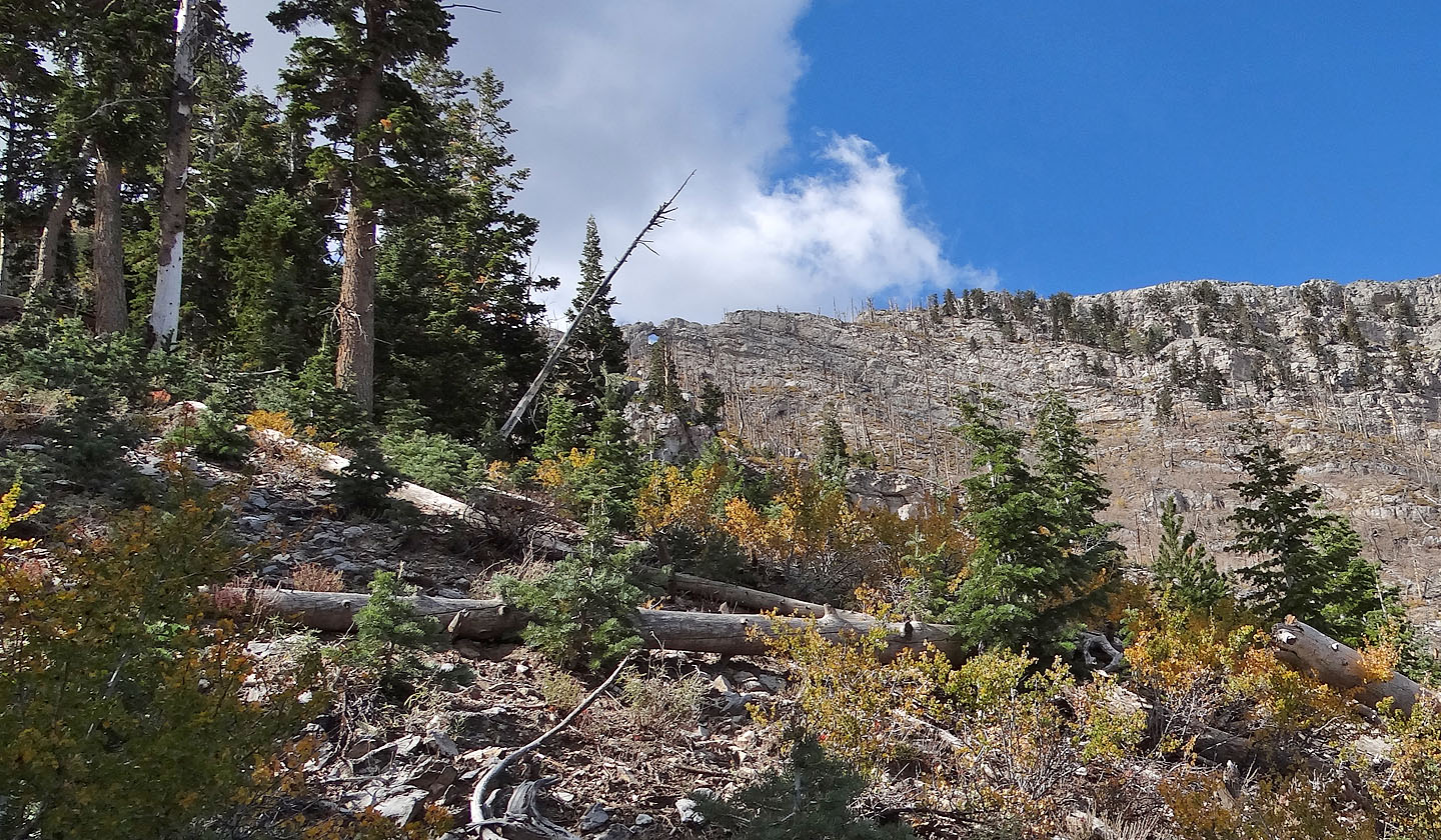
On the edge of the burn
I noticed a window on the ridge above (mouse over for a close-up)
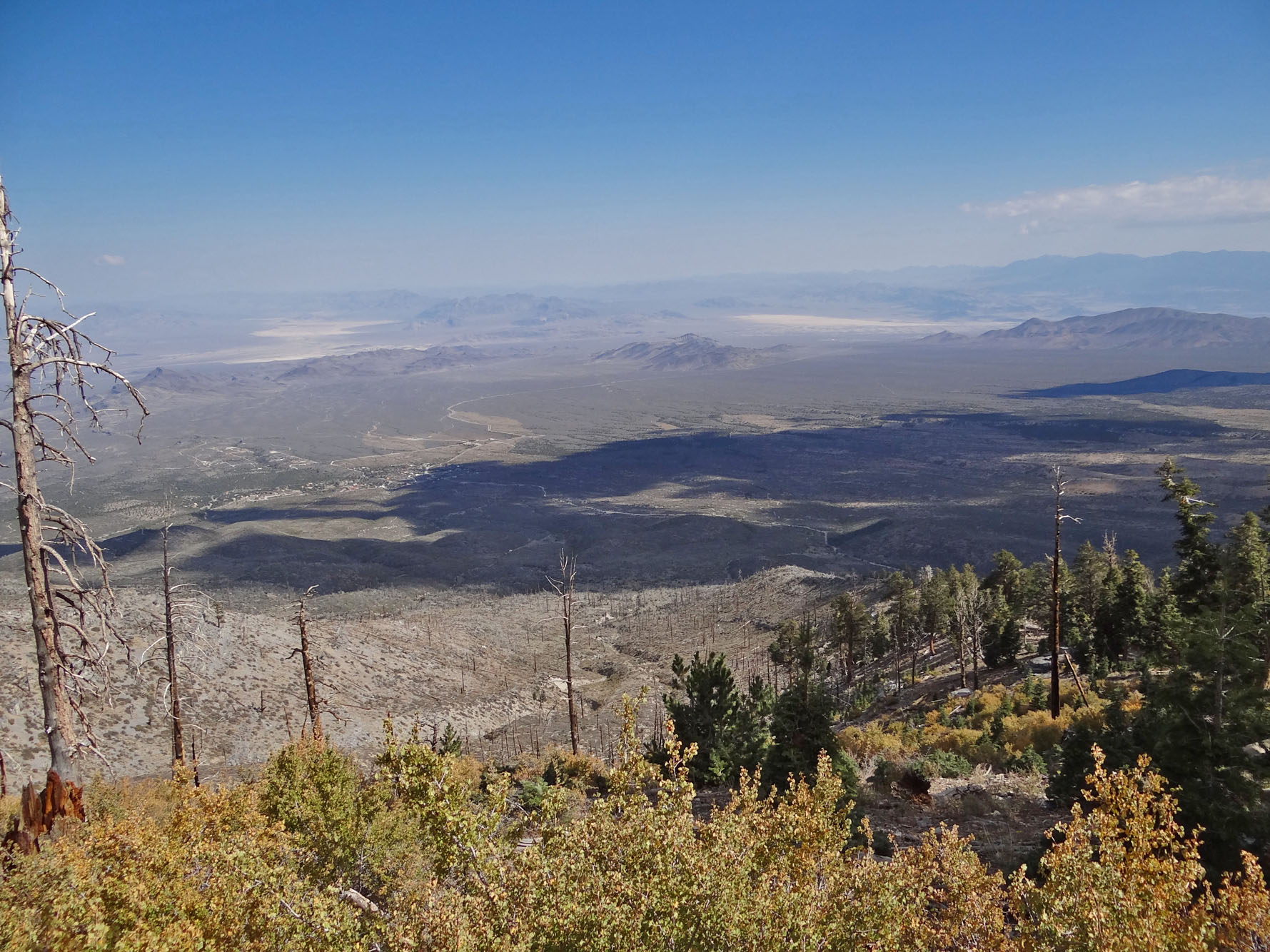
The burn area offers excellent views
The trail crests the ridge at this open saddle
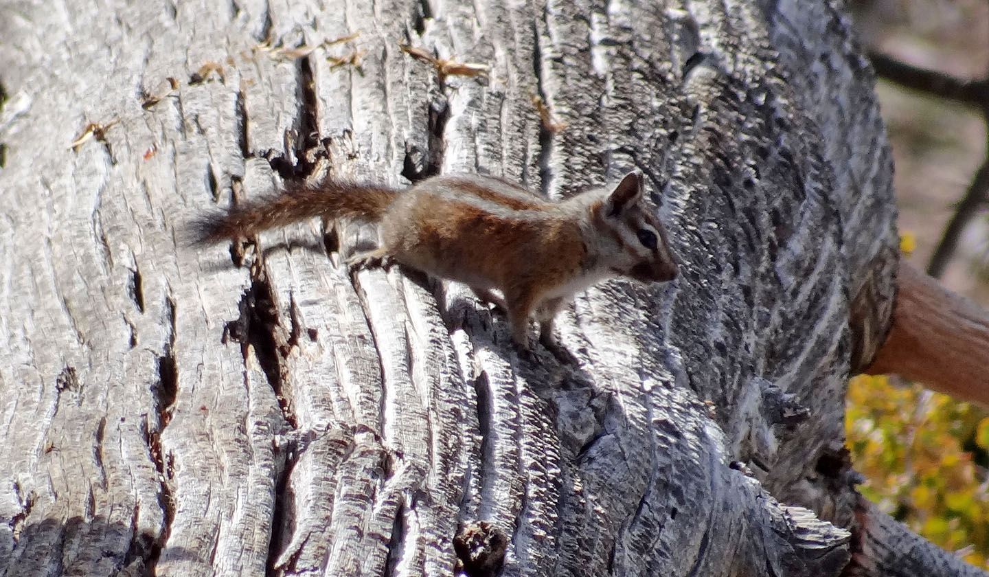
The Charleston Mountain chipmunk appears only in the Spring Mountains and nowhere else in the world
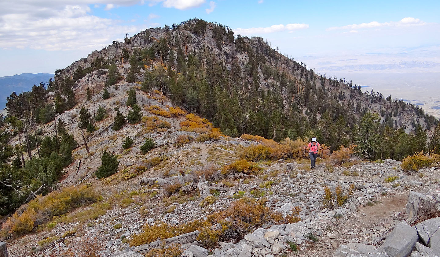
Looking back at the saddle
As we neared the summit, Dinah checked her GPS
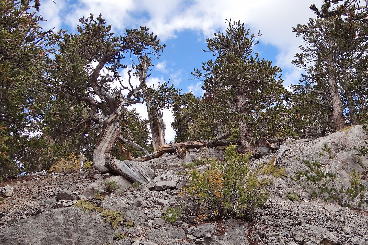
Gotta like the twisted trees
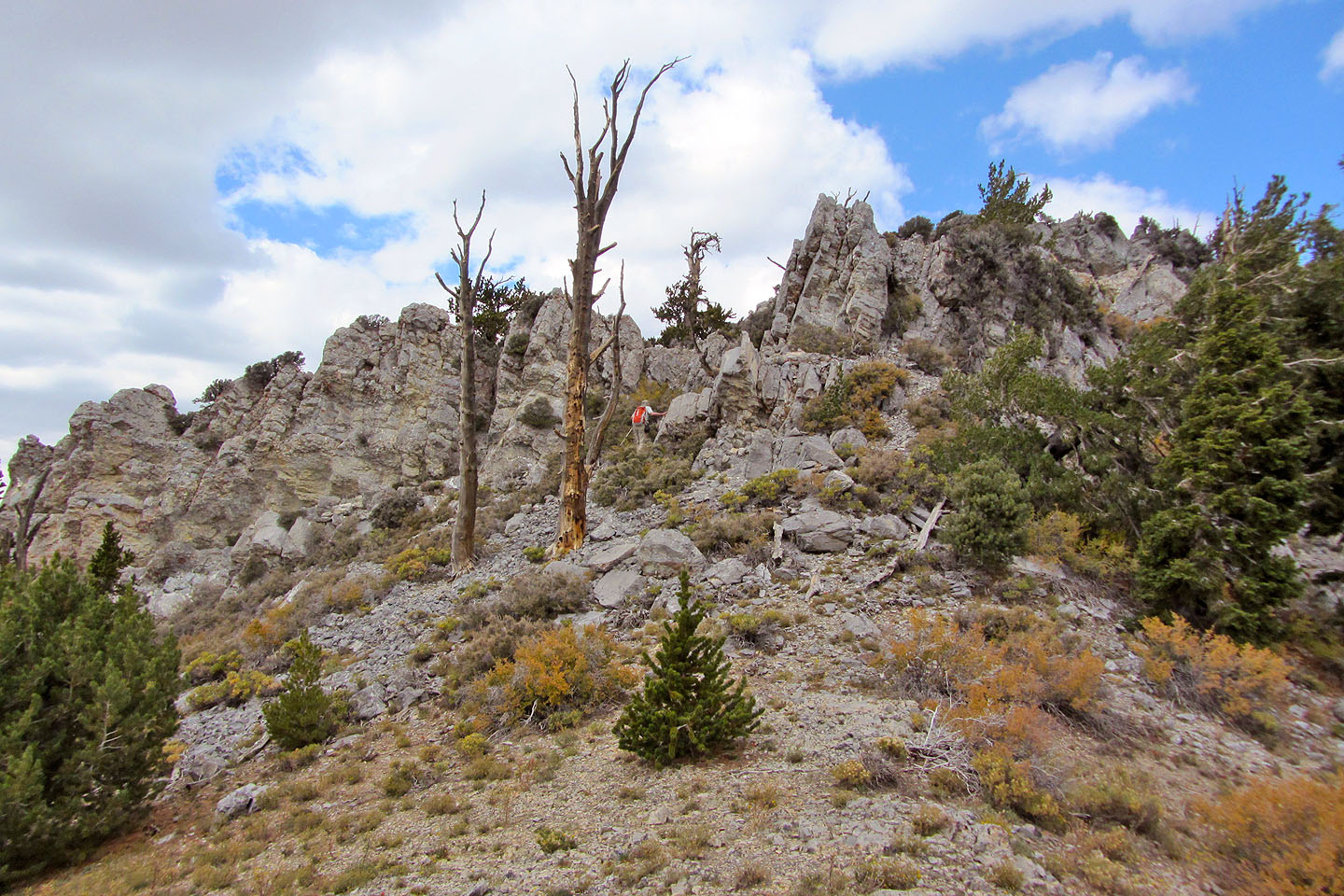
We left the trail at this cairn
Looking back shortly after leaving the trail
We couldn't see the summit even though we were 200 m away from it
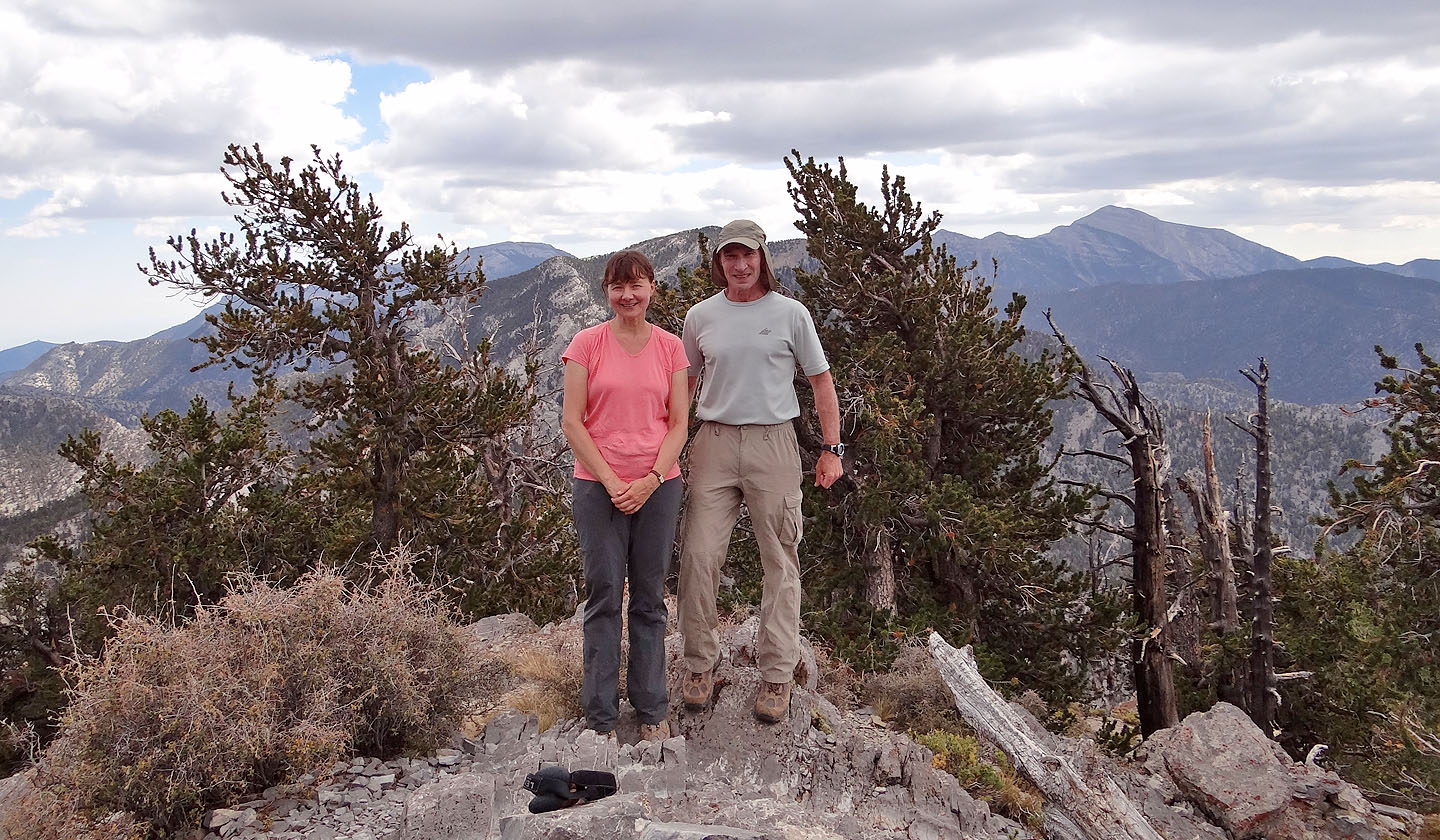
On top of Bonanza Peak
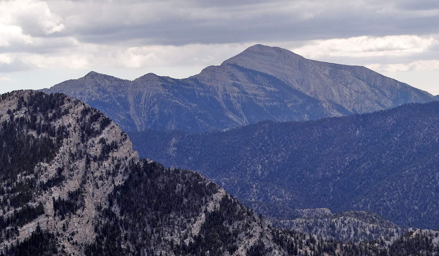
Griffith Peak and Mount Charleston
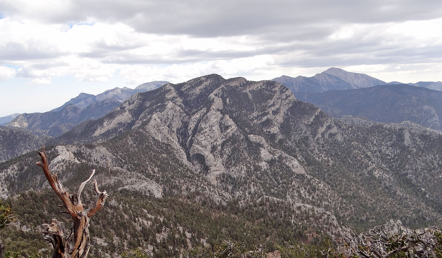
McFarland Peak is considered the hardest climb in the Spring Mountains
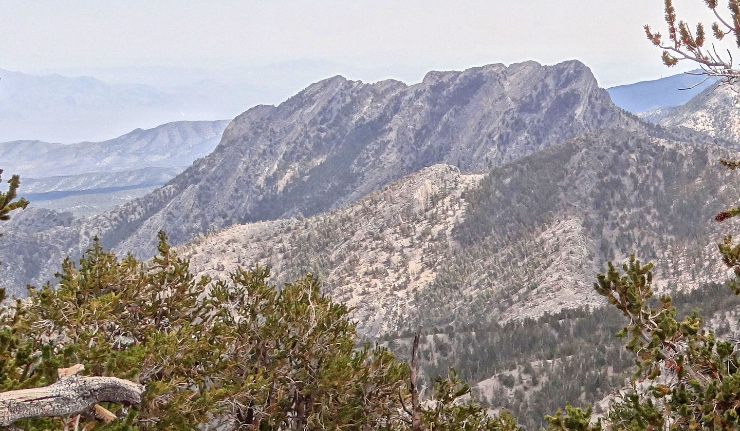
Macs Peak

The long ridge in the middle Amargosa Overlook
Back at the saddle, we climbed partway up the north side
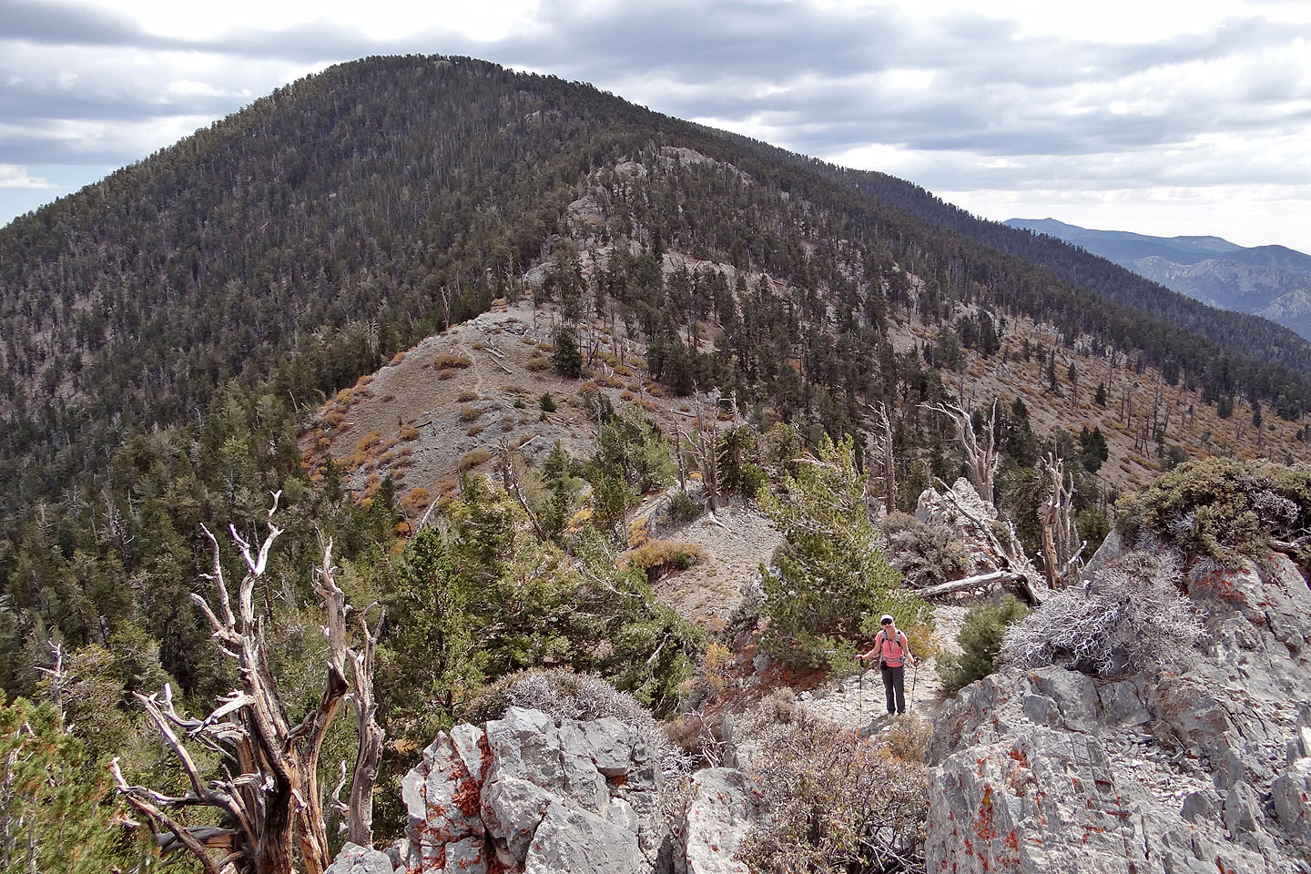
Looking south above the saddle I could only see a false summit on Bonanza
Looking north at possibly Mount Wheeler
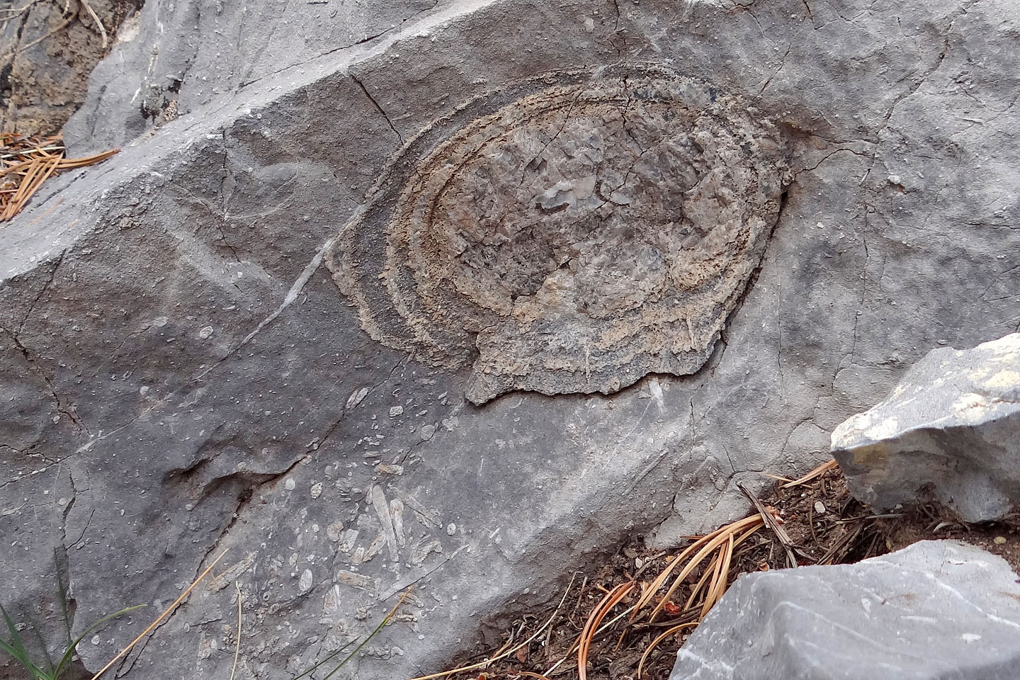
There were few good fossils to be found. This one was about 5" across.
Charleston Peak, Wheeler Well, Willow Peak, Cold Spring (8.1 mi, 10387 ft, 2874 ft)