bobspirko.ca | Home | Canada Trips | US Trips | Hiking | Snowshoeing | MAP | About
View from Mount Charleston
Mount Charleston and Griffith Peak
Spring Mountains, Nevada
September 18, 2011
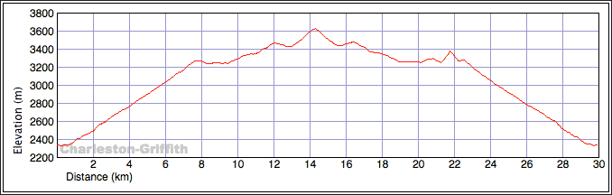
Distance: 30.0 km (18.6 mi)
Cumulative Elevation Gain: 1570 m (5151 ft)
Ever since Dinah and I stepped foot on a desert peak two and a half years ago, we have wanted to ascend Mount Charleston. At over 3600 m, it's the highest peak in Southern Nevada and the Holy Grail for Las Vegas hikers, at least the fit ones.
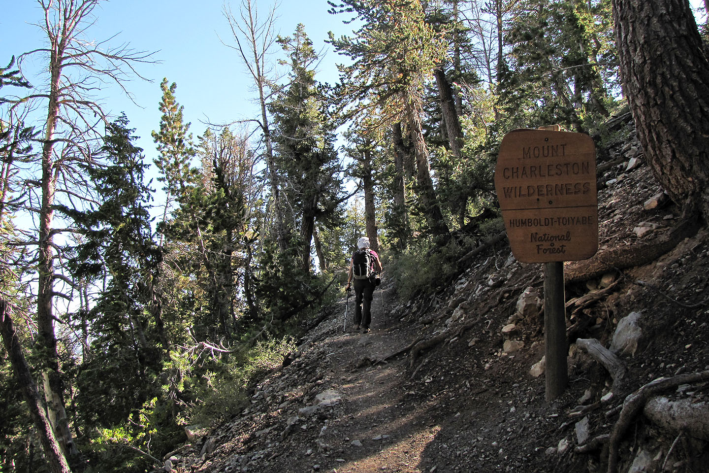
We used the South Loop Trail and encountered no difficulties except at the start. The trailhead begins in the Cathedral Rock picnic area, but the area was fenced off so we crawled through an opening in the fence. We learned that the picnic area is being moved.
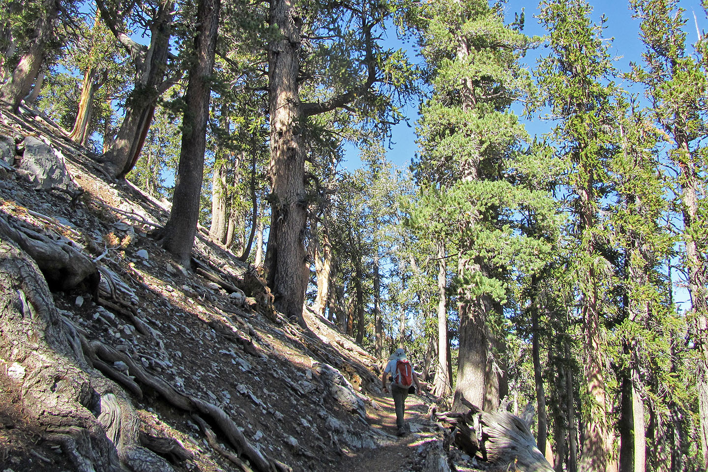
The trail switchbacks up to the ridge that connects Griffith Peak to Mount Charleston. Our two-hour ascent to the ridge crest seemed long, perhaps because bristlecone pines mostly obscured our view.
After reaching the crest, the summit of Charleston was over five klicks away to the north while Griffith was less than a kilometre south. We would do Griffith later, but first we wanted to tackle Charleston. We followed the ridge trail as it threaded through trees and meadows, except for the final stretch beaten into scree slopes. Four and a half hours after starting, we reached the summit.
Dinah and I were expecting cool temperatures on top of Charleston and came prepared for that and a sudden thunderstorm. So we were surprised to find this high summit was both warm and calm. My thermometer read 20°C (14 degrees cooler than Las Vegas). We relaxed for half an hour before heading back down.
Back on the ridge crest in the afternoon, things were heating up even though we were still above 3200 m. It became uncomfortably warm and we took short breaks in the shade of trees.
After passing the trail junction, we started up Griffith Peak on a trail that had been completed just a week earlier. From the junction, our round trip time for Griffith Peak was only 45 minutes and an elevation gain of 110 m. It's well worth the slight effort: it's the third-highest peak in the Spring Mountains. After a 20-minute summit stay, we came back down the endless switchbacks.
We learned later that Charleston had been beset with storms the last few weeks, so we were fortunate to climb Mount Charleston in balmy conditions. This peak is a must for anyone visiting Las Vegas in the summer.
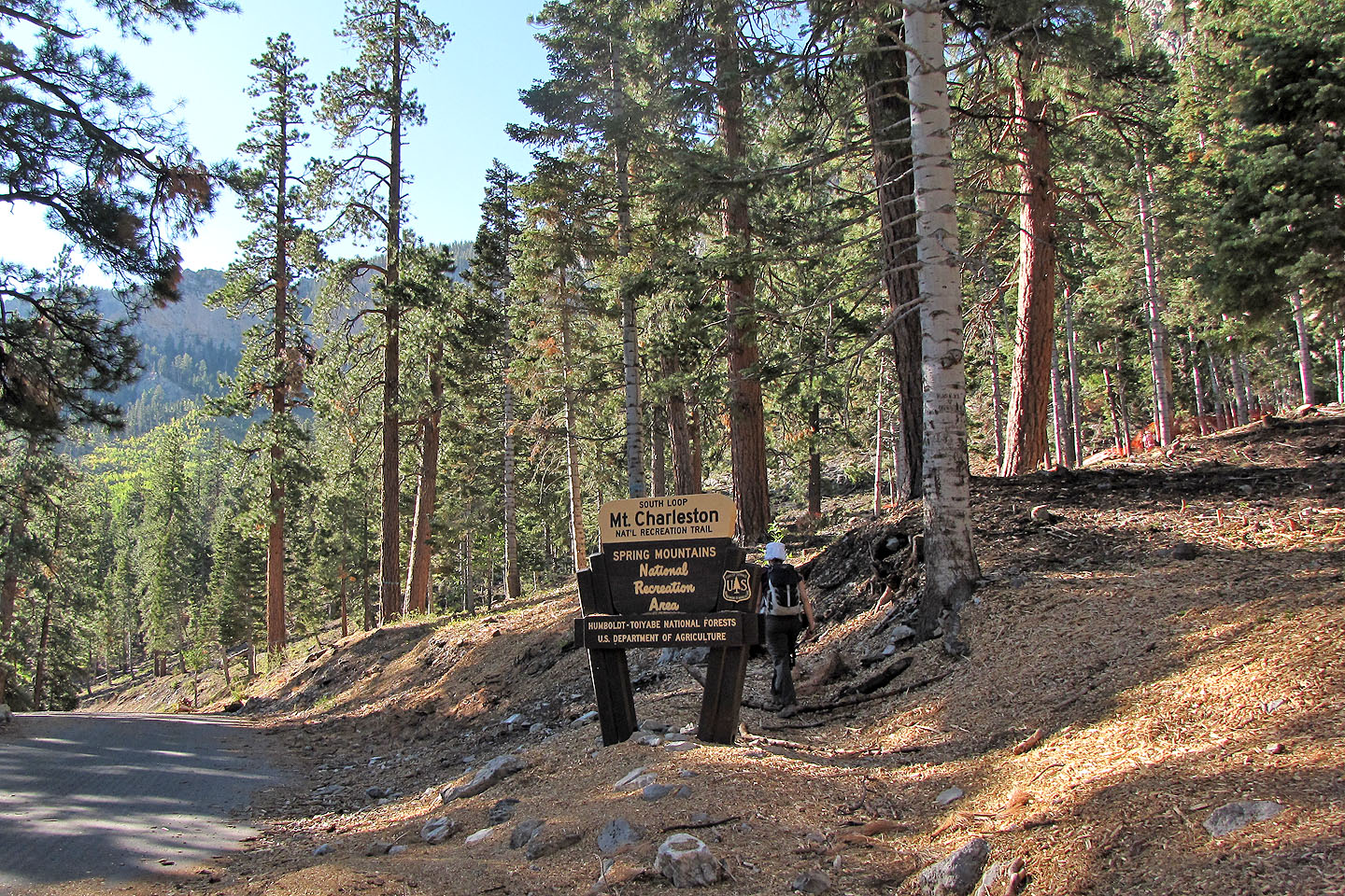
Starting up the South Loop Trail
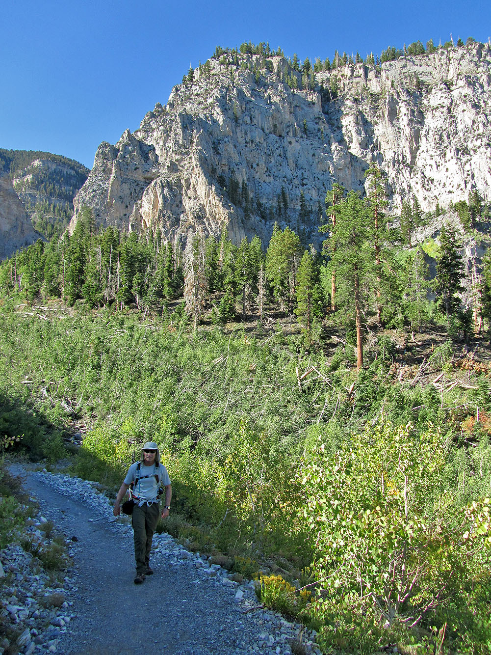
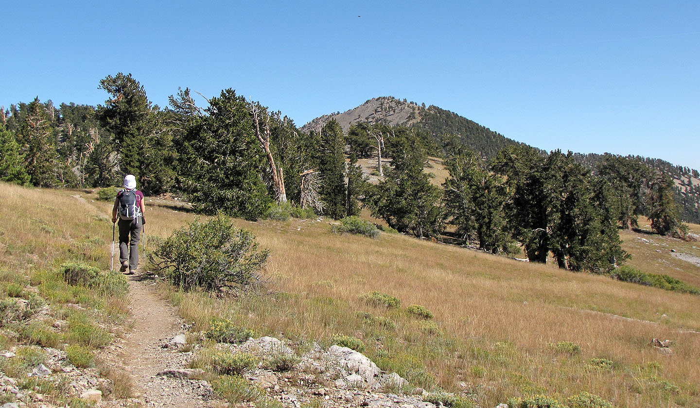
The trail is broad and gentle grade at first
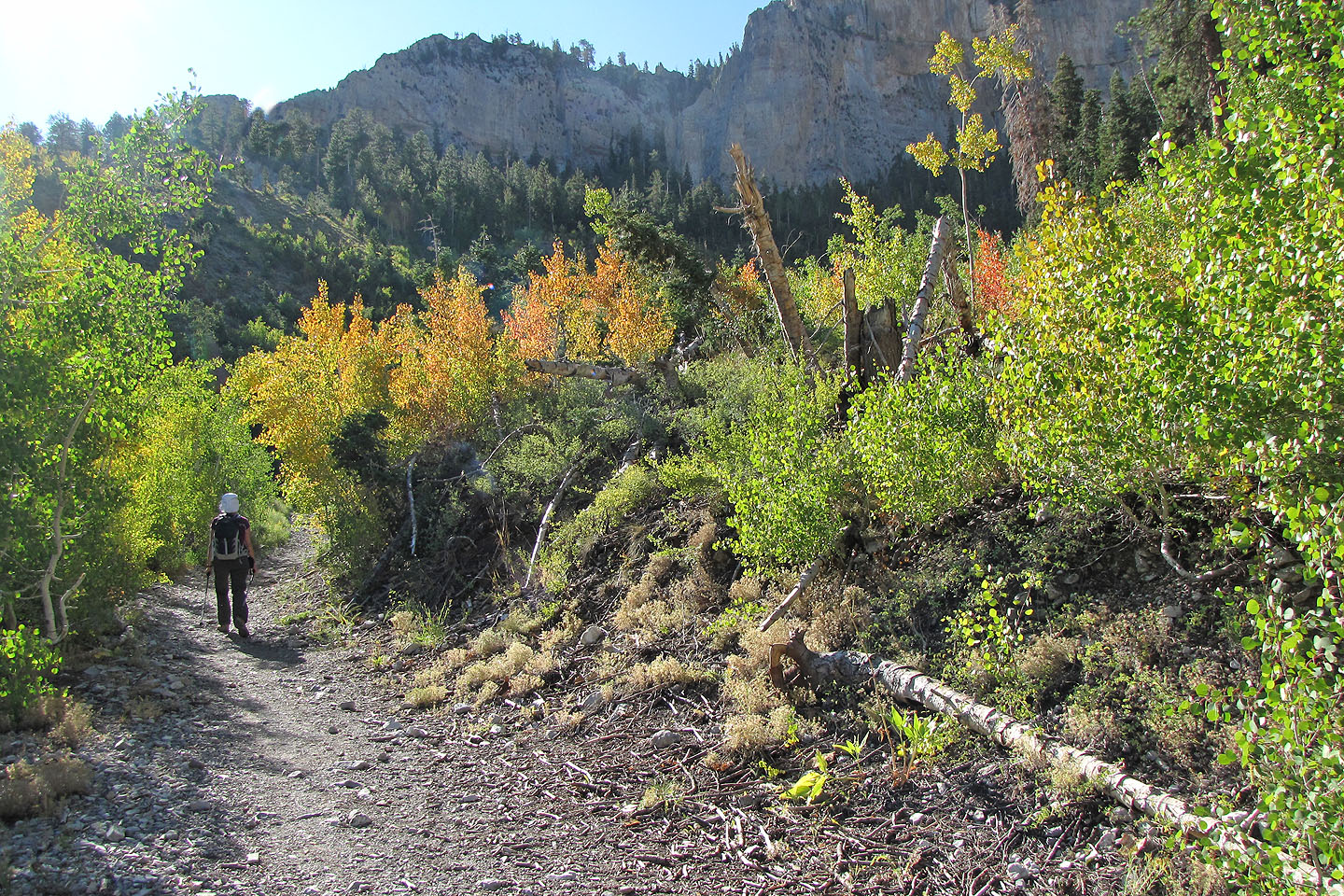
Fall colours
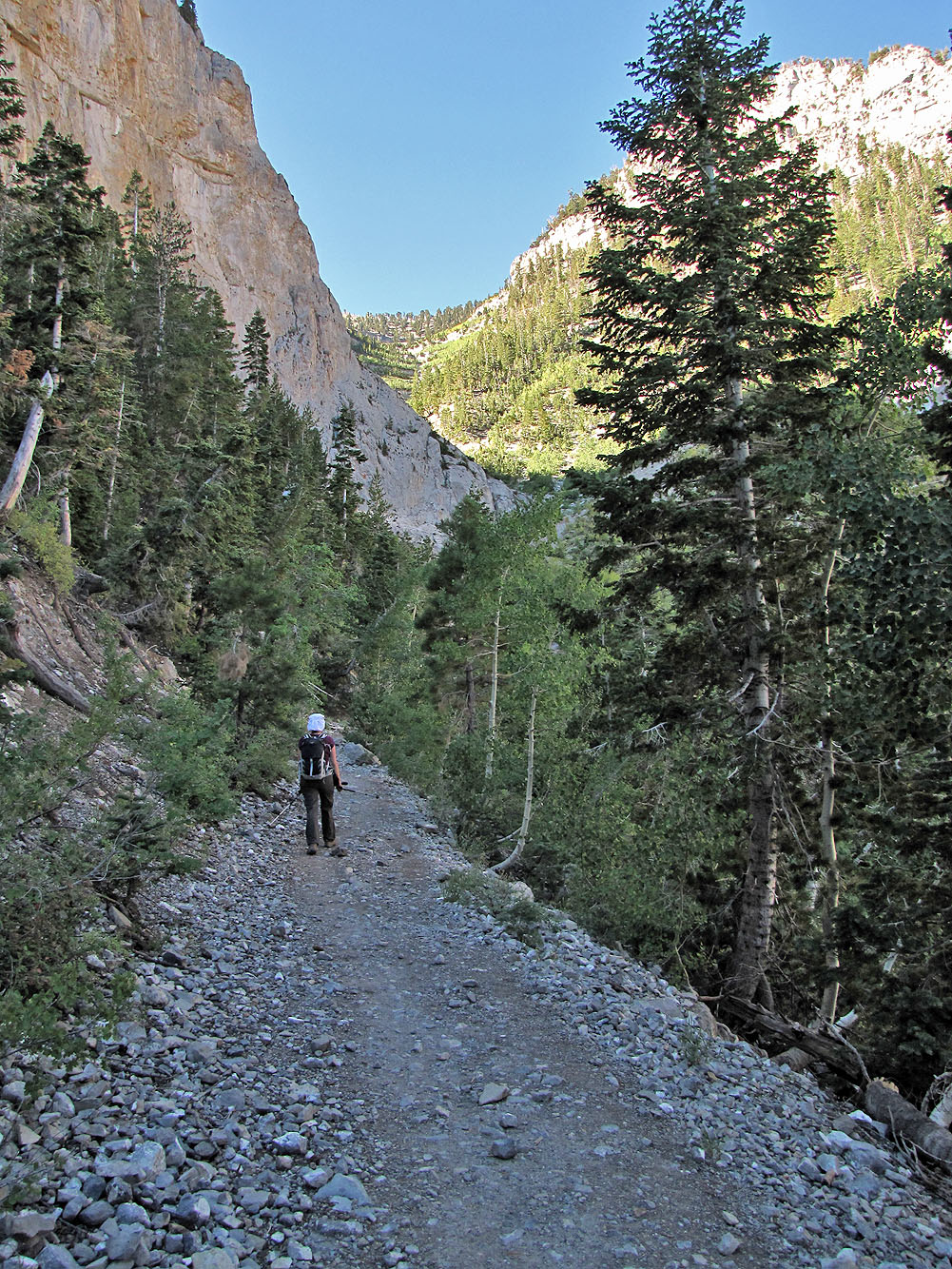
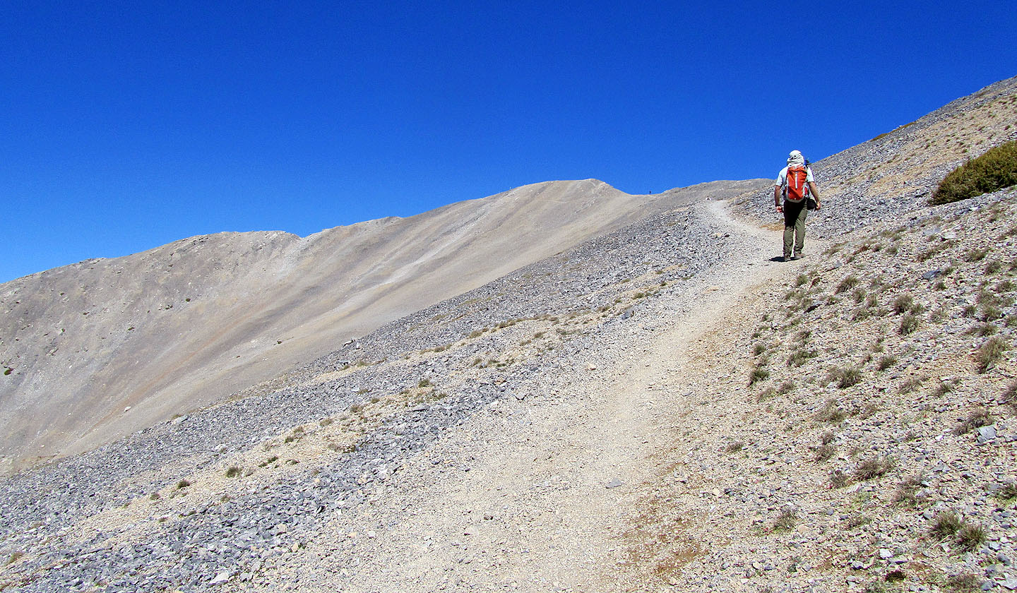
Switchbacks above lead to the crest
Hiking up the switchbacks
Echo Overlook affords a few views
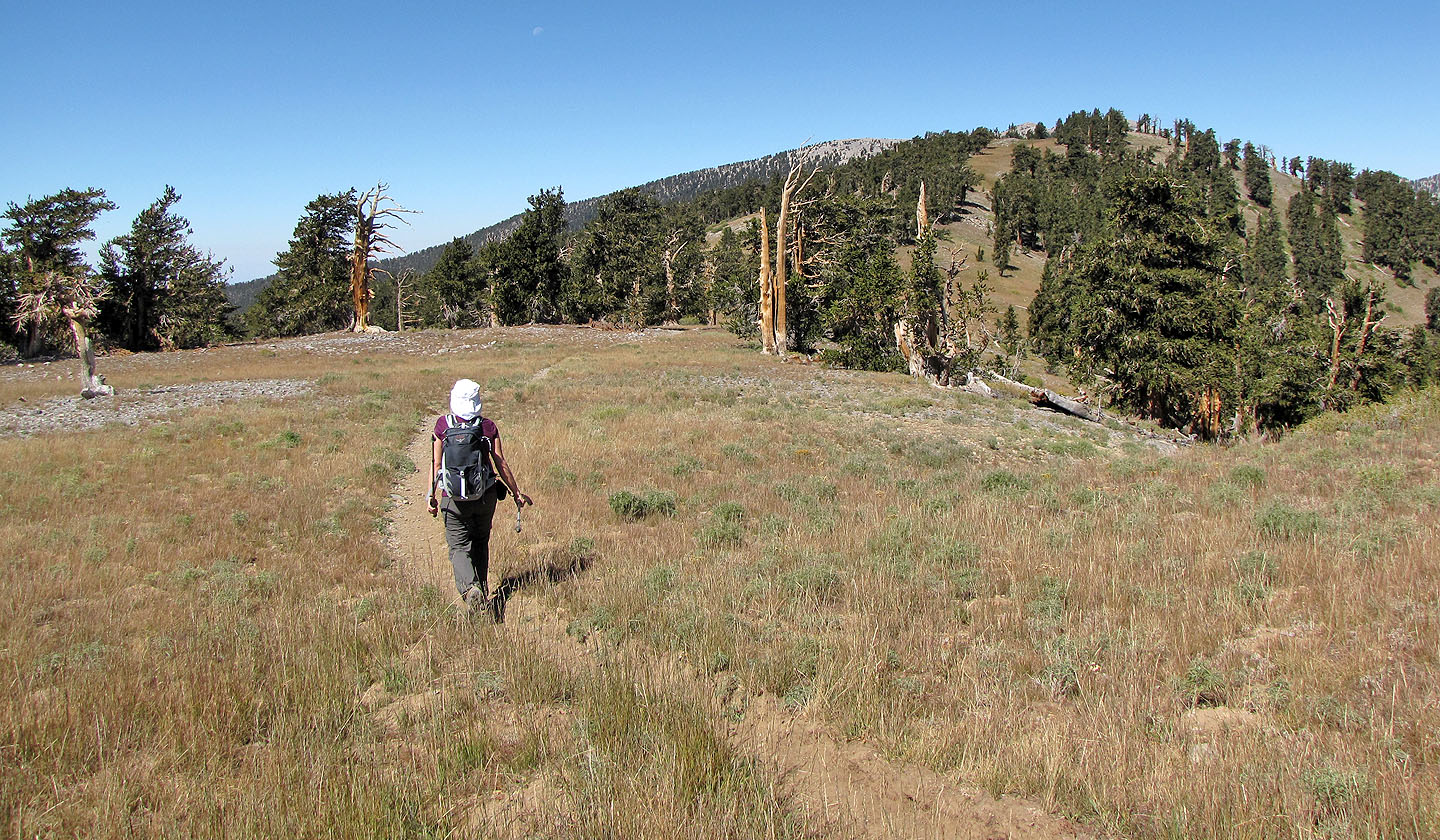
It begins to open up closer to the ridge
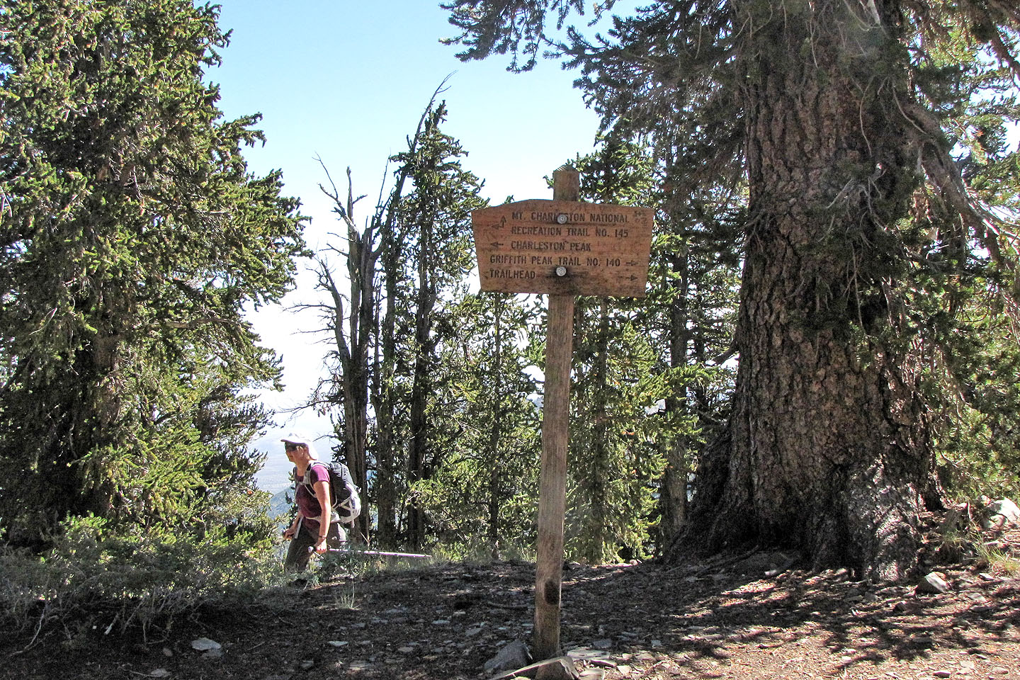
A sign on the ridge crest indicates Charleston left and Griffith right
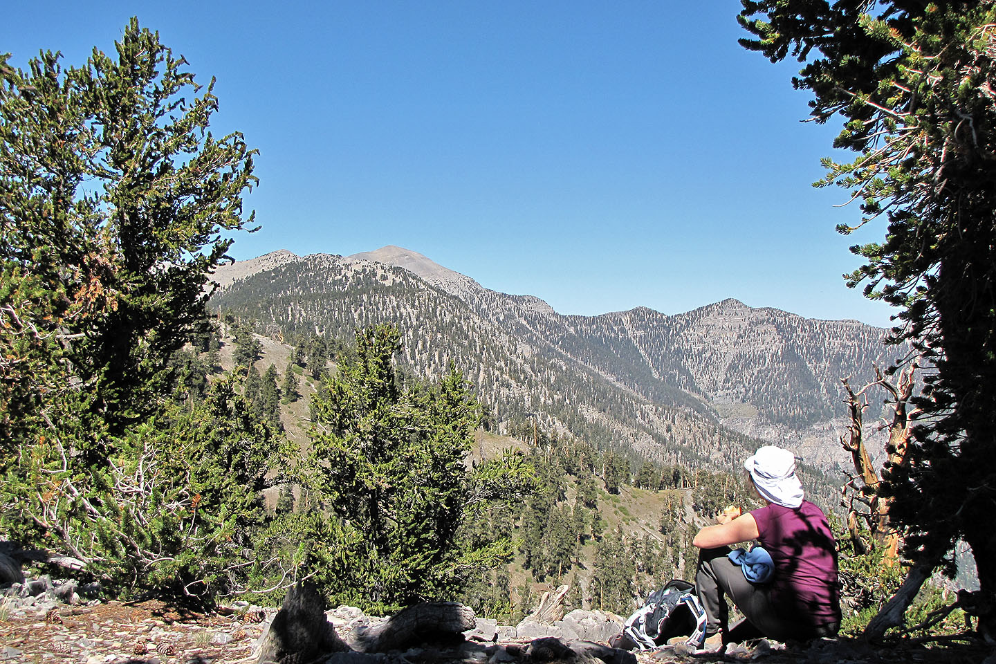
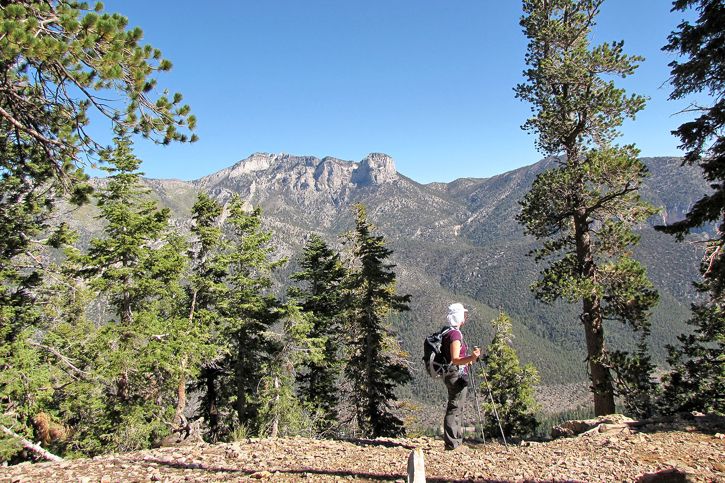
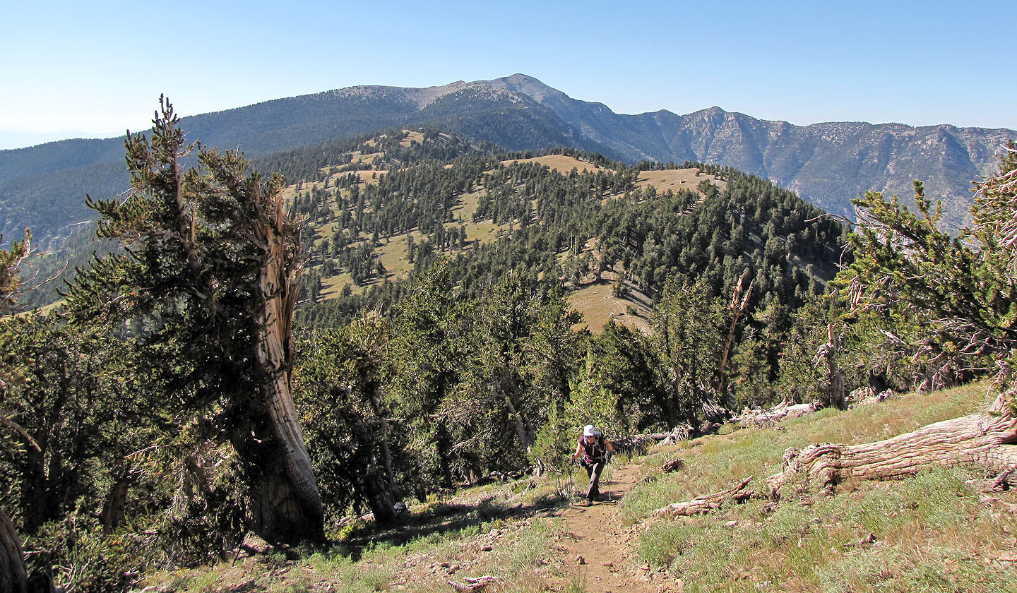
Taking a break. Mount Charleston is the highest point on the skyline.
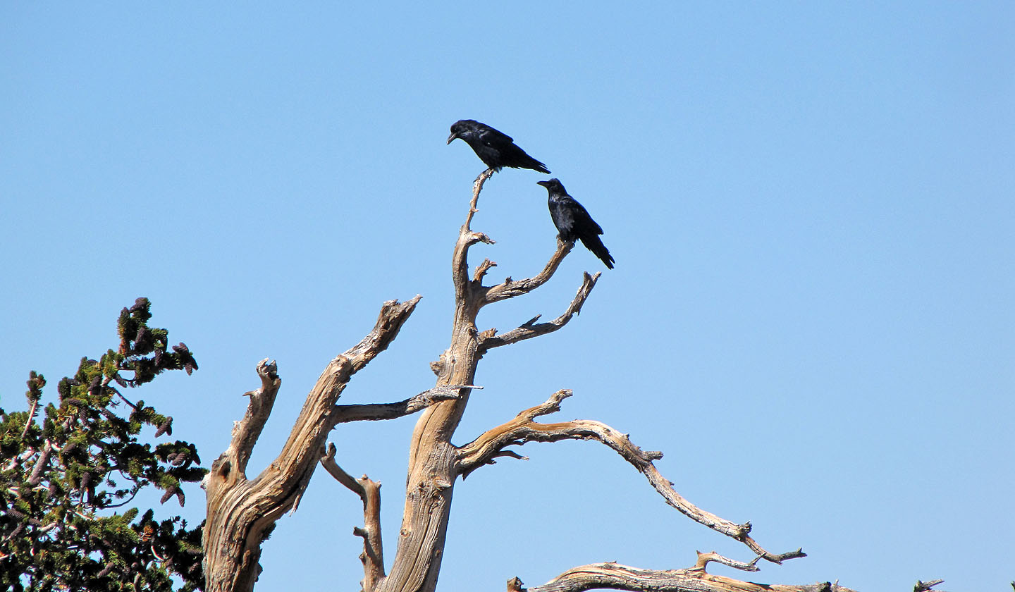
Ravens on a dead pine
We found it hard to believe we were hiking at an elevation of over 3200 m. It's nothing like the Canadians Rockies where we are used to hiking.
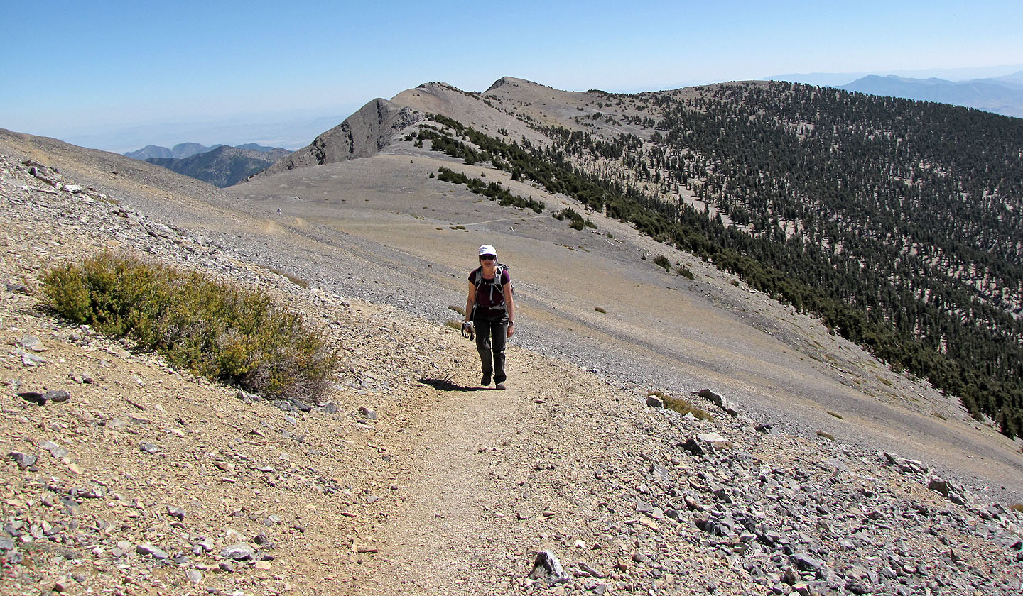
Continuing along the trail
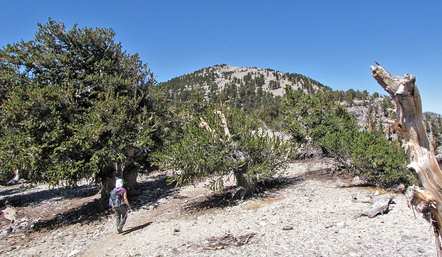
Mount Charleston will come into view after the rise ahead
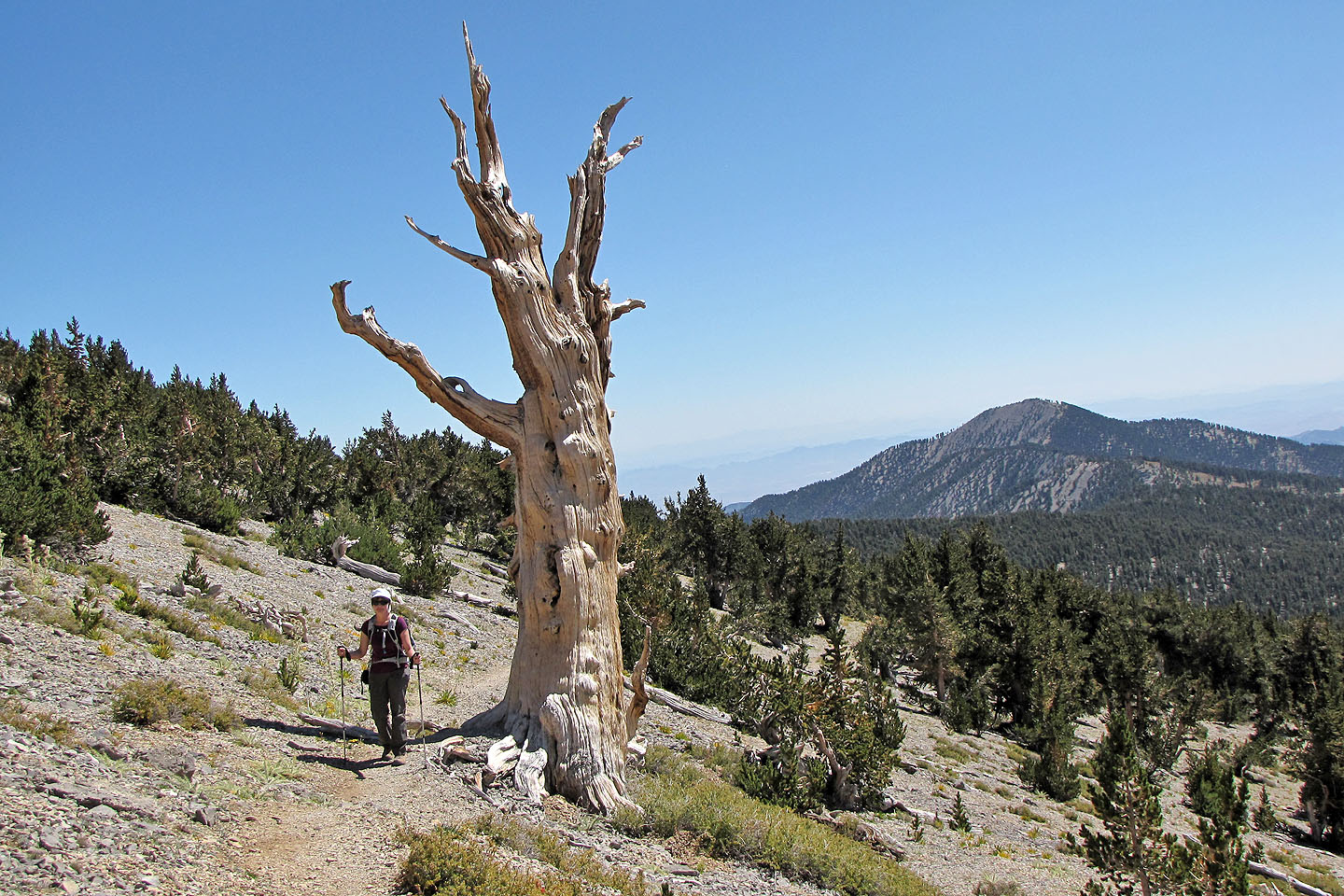
Passing a dead pine tree
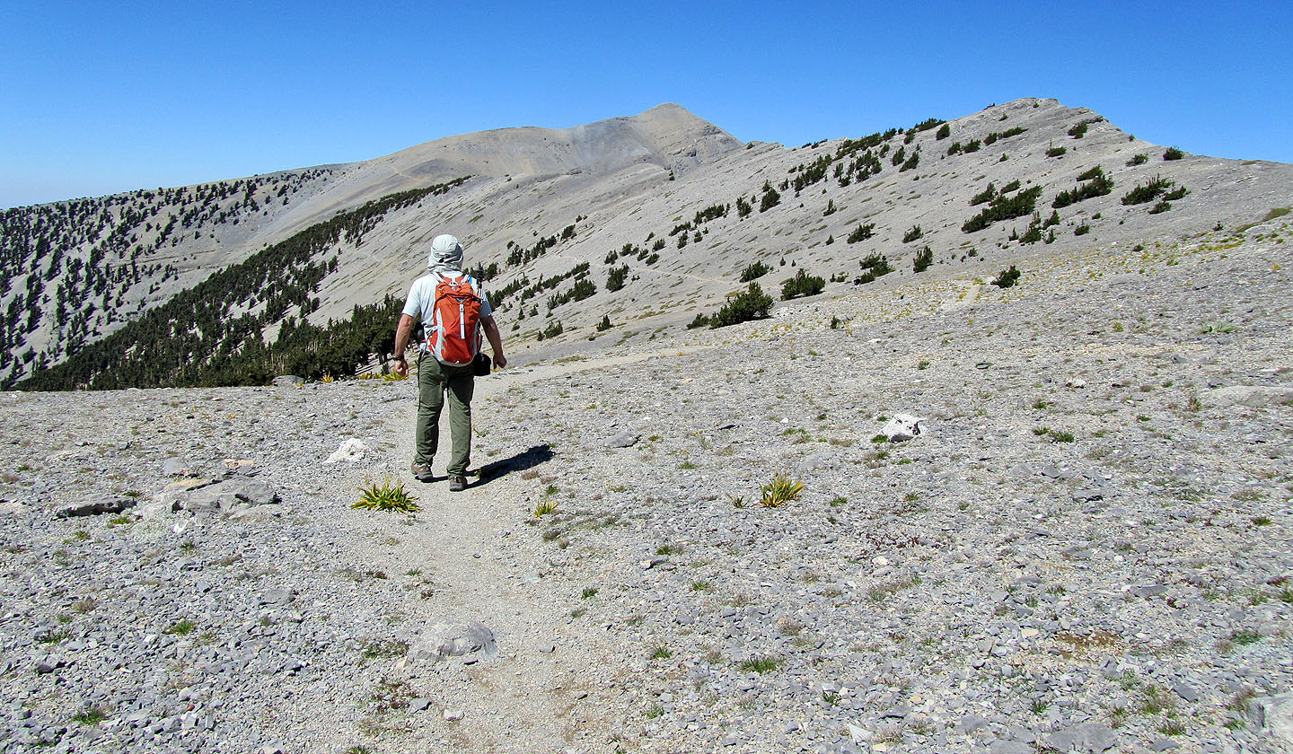
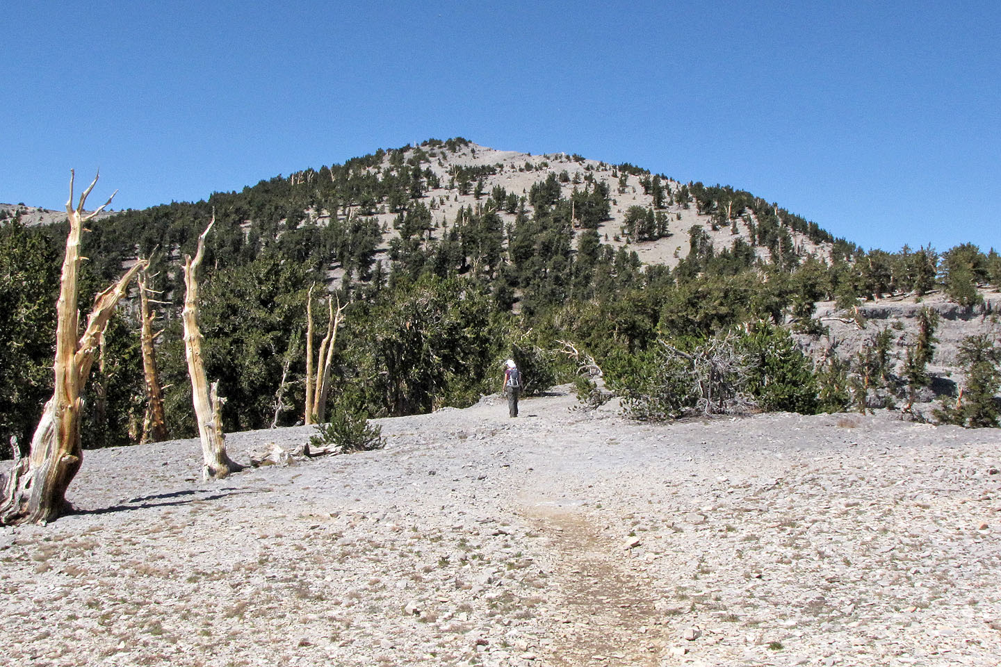
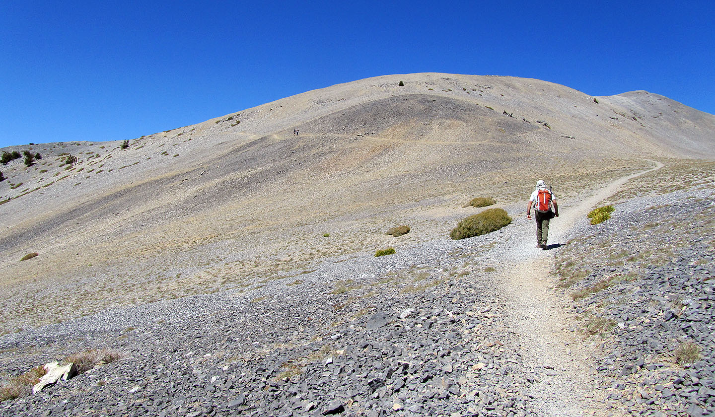
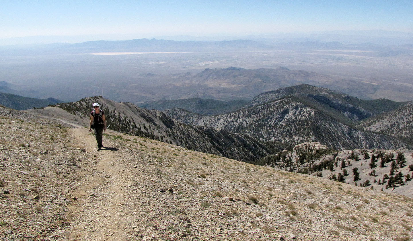
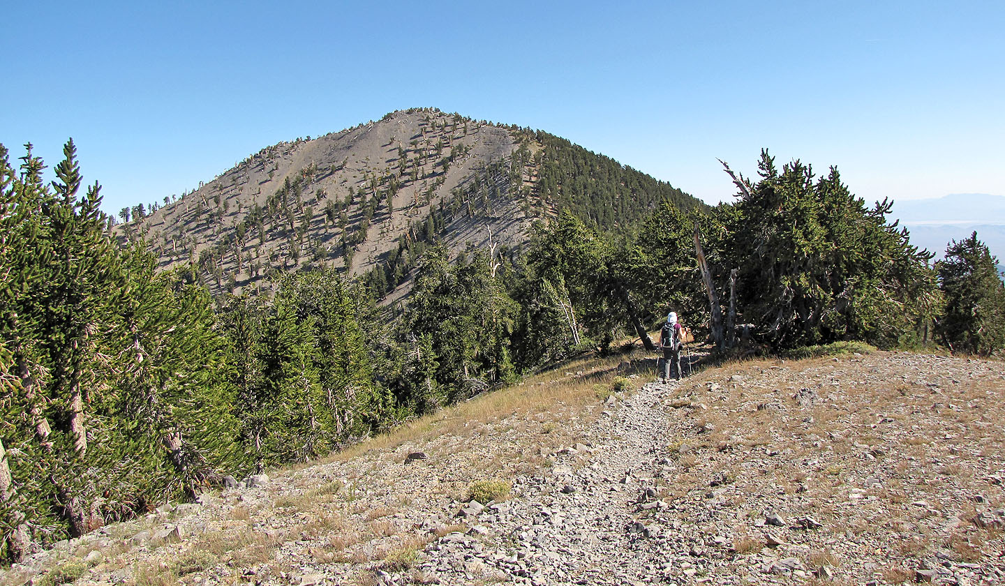
The summit is ahead
Looking back
Long stretch where there is not much to see
Trail heads left, under the summit, before ascending to the top
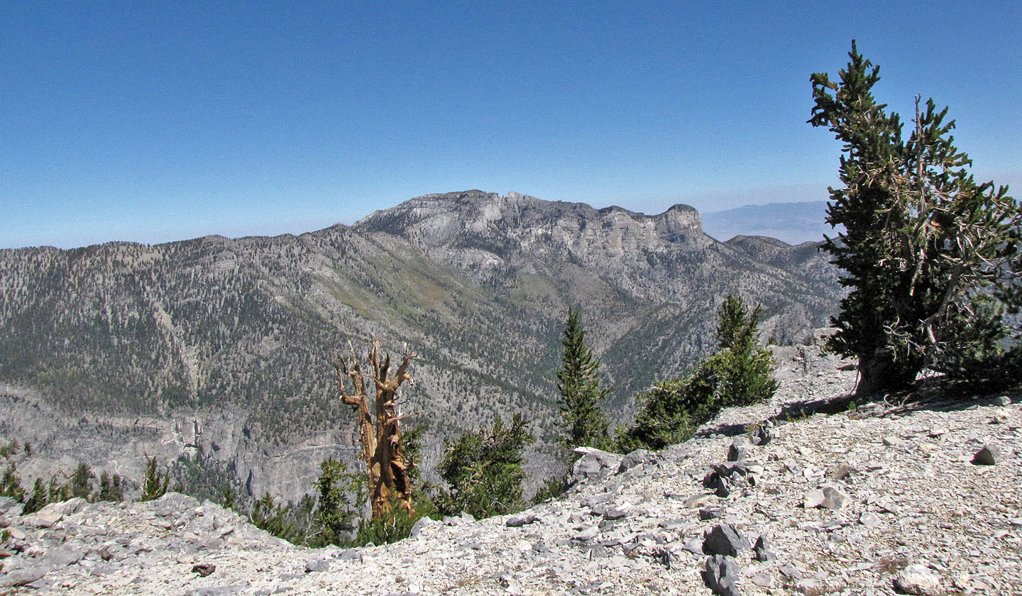
Looking east
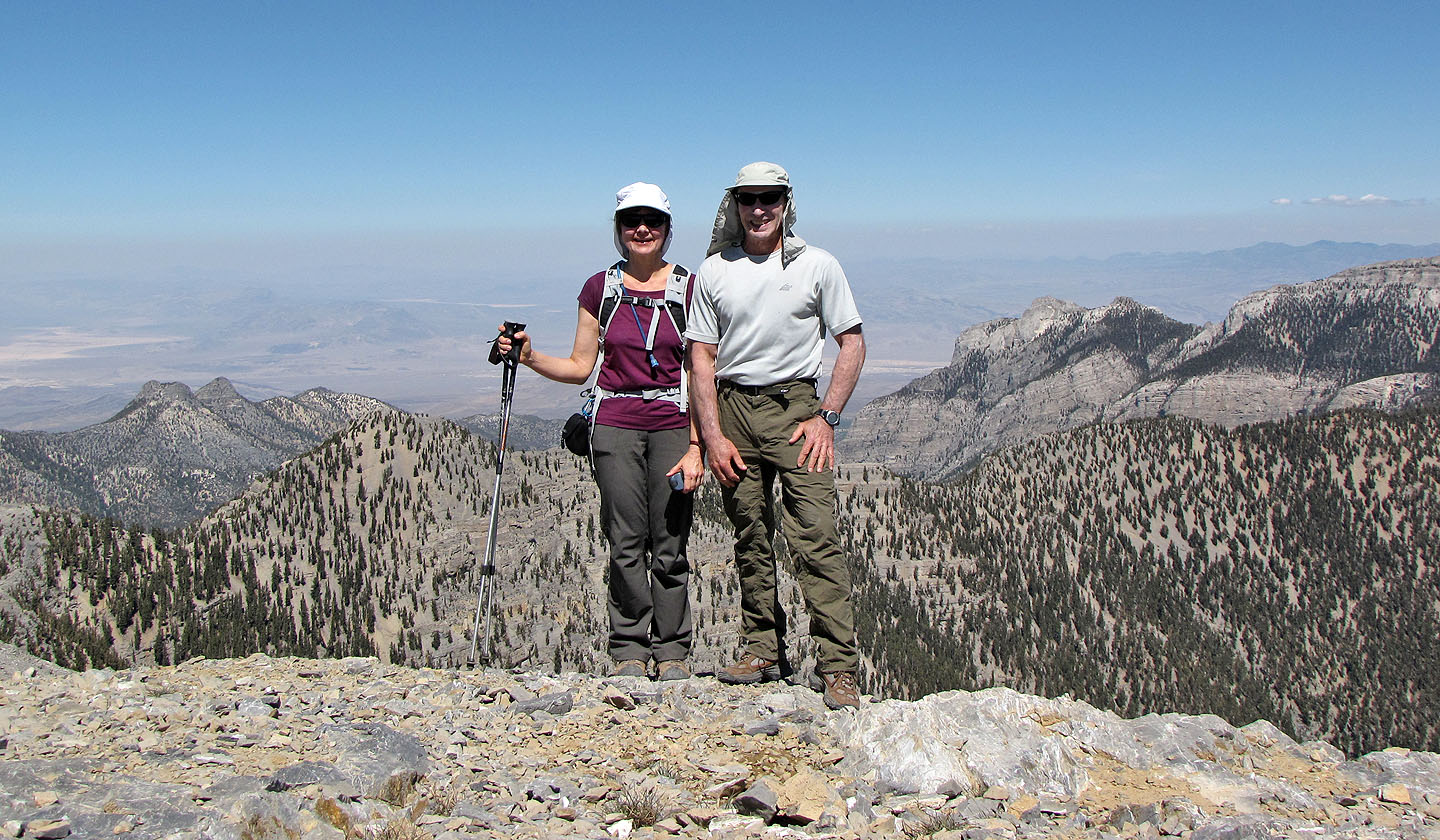
On top of Mount Charleston
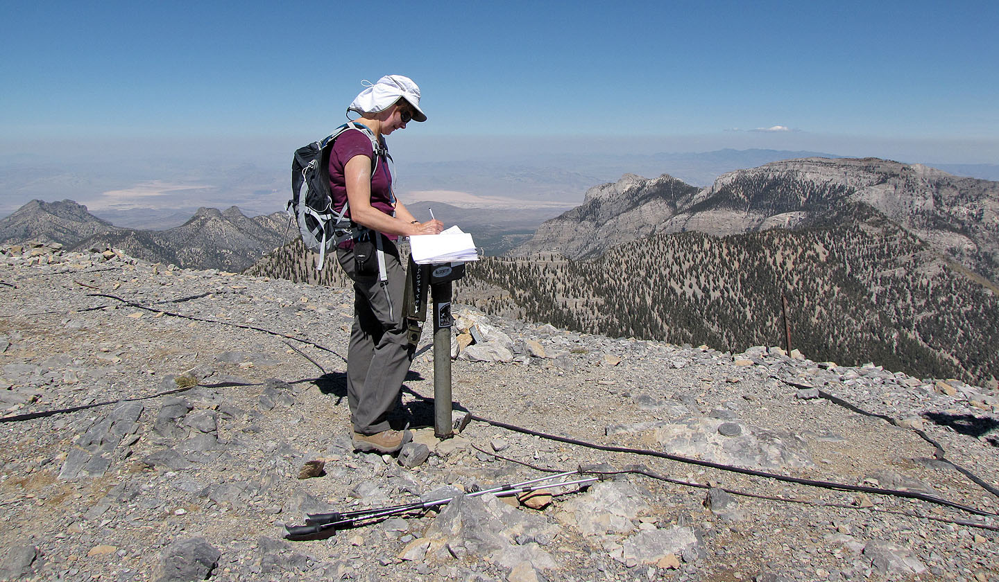
Dinah signs the summit register
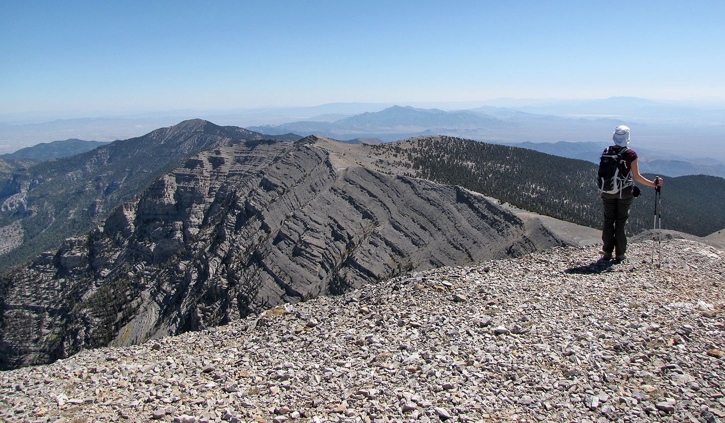 Looking back along the ridge
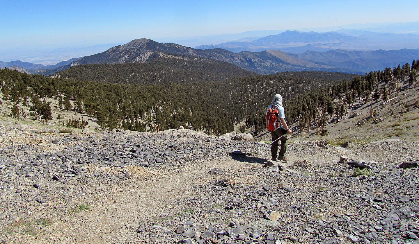
Heading back, Griffith Peak ahead
Griffith Peak still looks far away
Approaching Griffith Peak
Looking back along the ridge at Charleston as we ascended Griffith
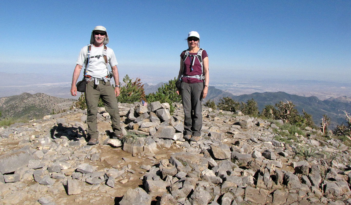
Posing on Griffith Peak, 3377 m
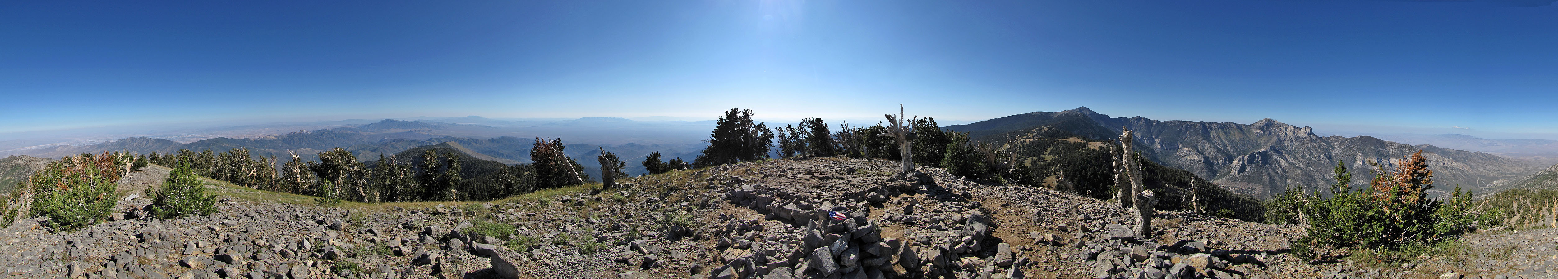
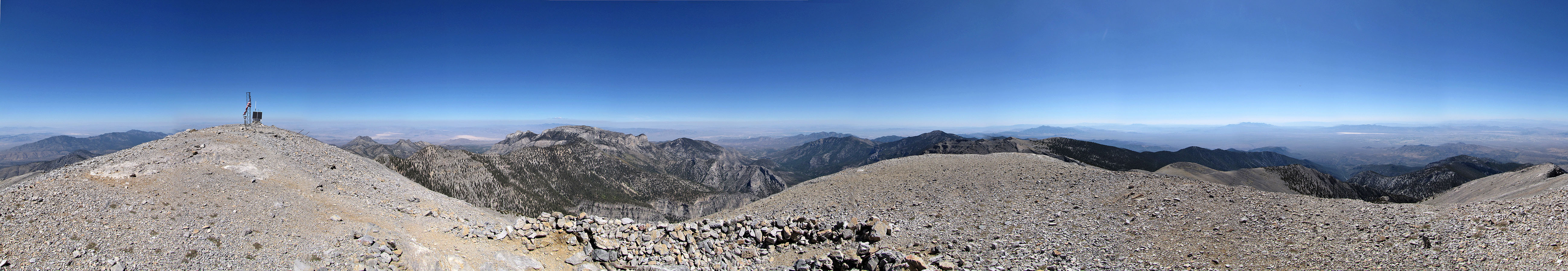
Panorama on Griffith Peak
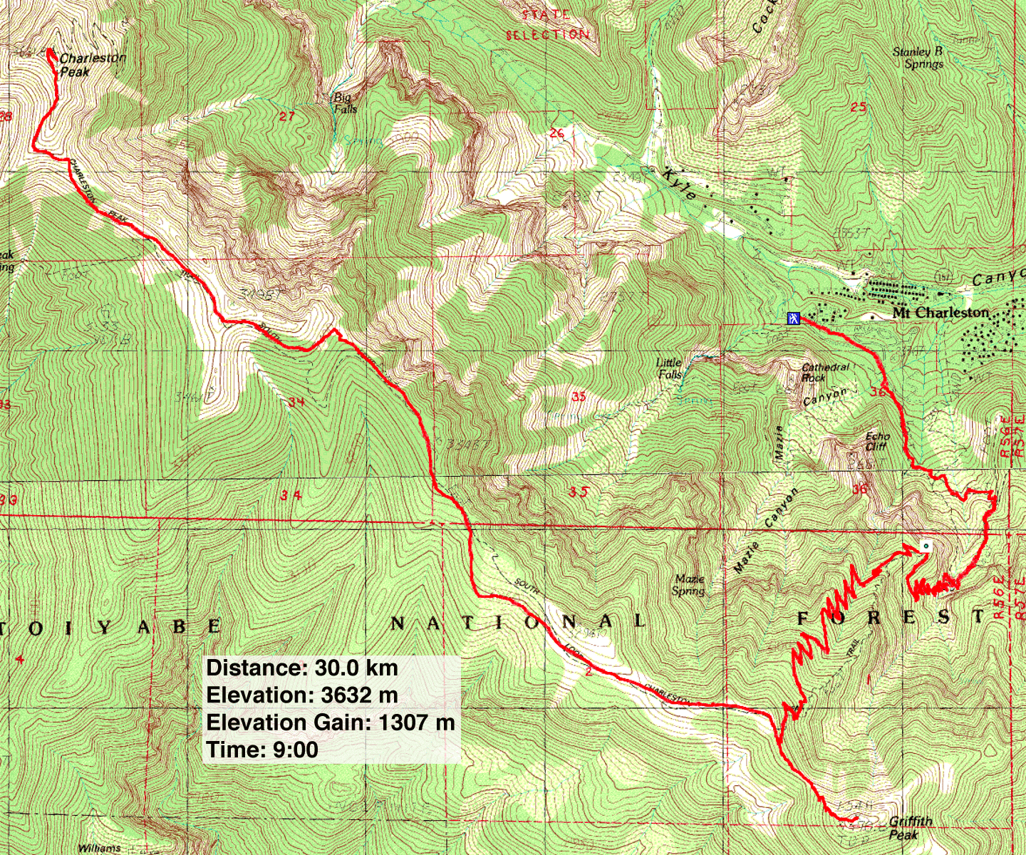
Charleston Peak, Griffith Peak (18.6 mi, 11,916 ft, 4,288 ft)