bobspirko.ca | Home | Canada Trips | US Trips | Hiking | Snowshoeing | MAP | About
Bighorn Butte
aka Long View Peak
Lake Mead NRA, Nevada
January 24, 2014
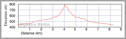
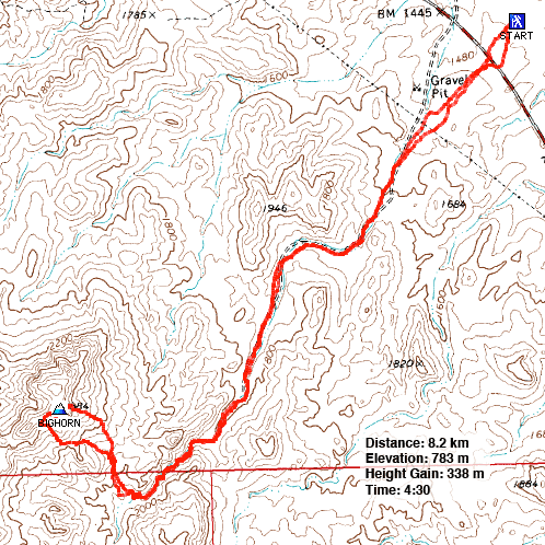
Distance: 8.2 km (5.1 mi)
Cumulative Elevation Gain: 362 m (1188 ft)
After researching and climbing several dozen peaks in the environs of Las Vegas, I had come to believe that every named peak in the area, even obscure peaks with unofficial names, had a least a cursory route description on the Internet. So I was surprised to find one peak that didn't: Bighorn Butte.
After driving down Lakeshore Road 2.2 miles east of the ranger station, Dinah and I parked at Long View Overlook. Bighorn Butte was nearly two miles away, but fortunately a good wash stretches almost to its base.
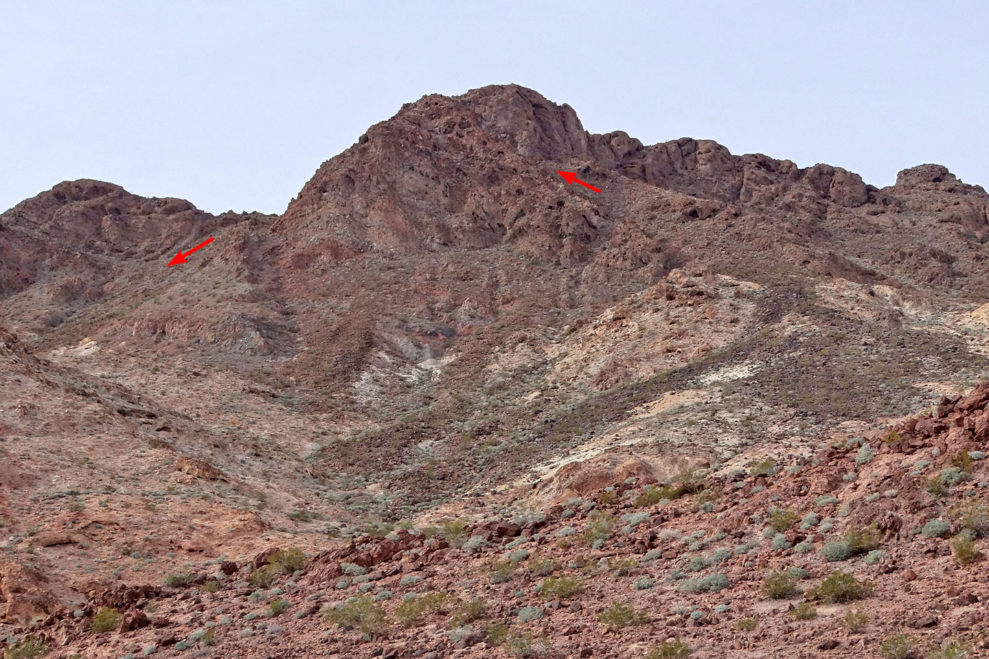
We set out across the desert flats, aiming for a notch in the low hills since that's where we would find the approach wash. Beyond the notch, the wash meanders before turning into a short canyon. After we broke out of the canyon, Bighorn Butte appeared on our right, at the head of a side wash. From the side wash, we could either gain the saddle left of the summit or go up a slope on the right, but the final stretch to the top, the backside, was hidden from our view. Whether we ascended left or right of the summit, we couldn't be sure if we wouldn't be stopped by cliffs.
We decided to attempt the route on the right. We hiked up a gentle slope and after wending left, a steep ramp came into view. I worried that the ramp might end in a drop-off, but it didn't. It took us to the backside of the mountain where we easily hiked to the top.
On the summit we found a cairn and surprisingly, a summit register. The register called the peak “Bighorn Butte.” Bighorn Butte is not a coveted desert peak. The register showed only about a half dozen entries in the last ten years; the last ascent was in 2010.
While I took a summit panorama, Dinah traipsed to an adjacent high point. Afterwards we headed down to the saddle using the “left” ascent route that we had considered earlier. It turned out to be easy. After dropping down the rubbly slope below the saddle, we worked our way left to get back into the side wash we had hiked up. Then we retraced our steps back to the parking lot.
With a good starting point, a fine approach up a wash, and an uncomplicated class 2 climb, there's no reason why Bighorn Butte shouldn't see more ascents. Perhaps a little exposure on the Internet can bring it out of obscurity. Like this post.
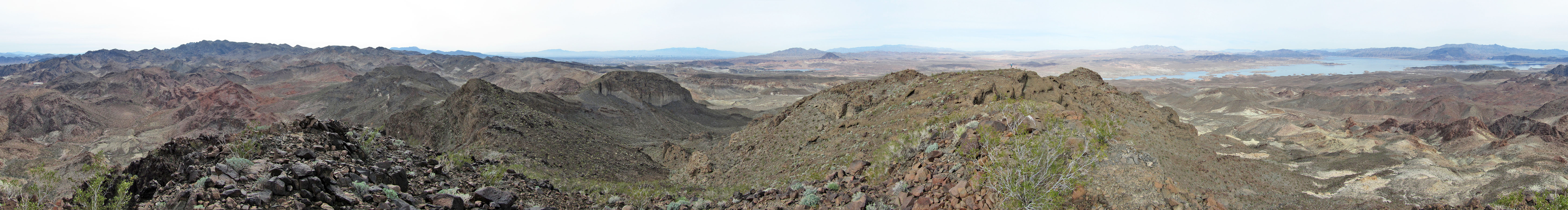
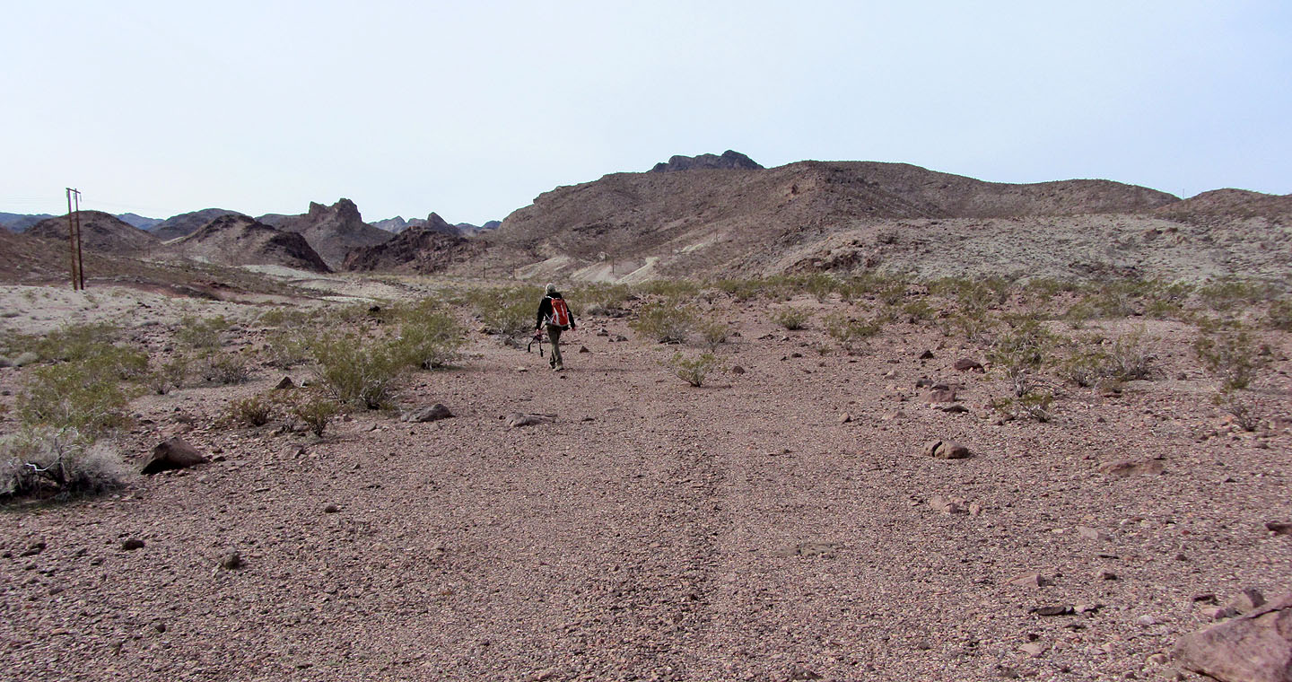
Bighorn Butte seen soon after starting across the flats
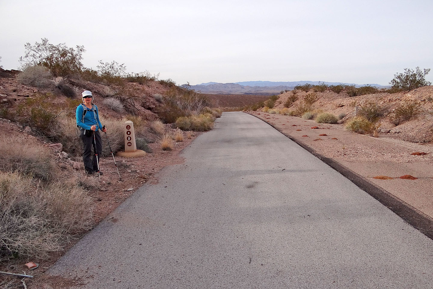
We crossed River Mountain Trail
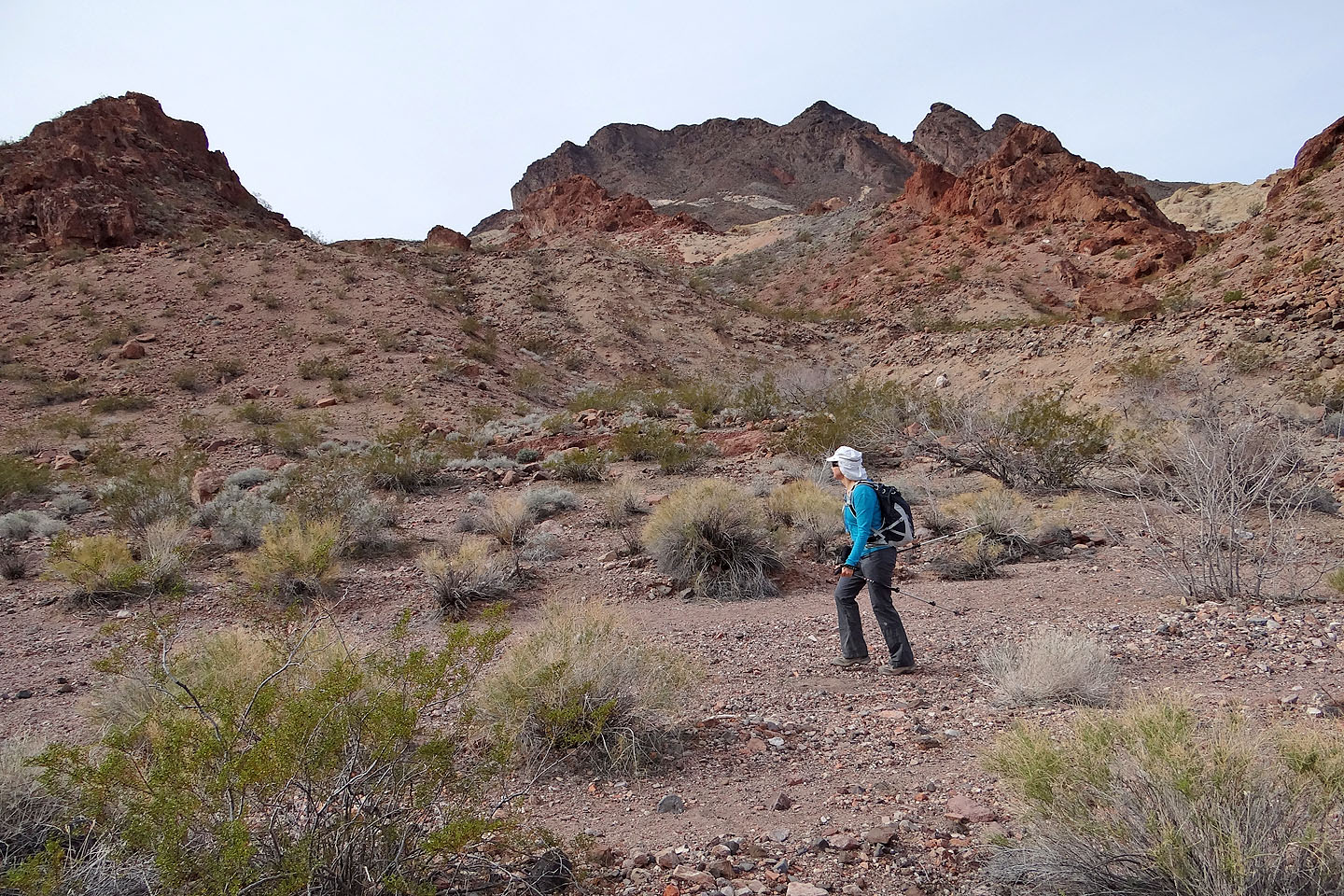
We headed to a notch where we'll find the wash
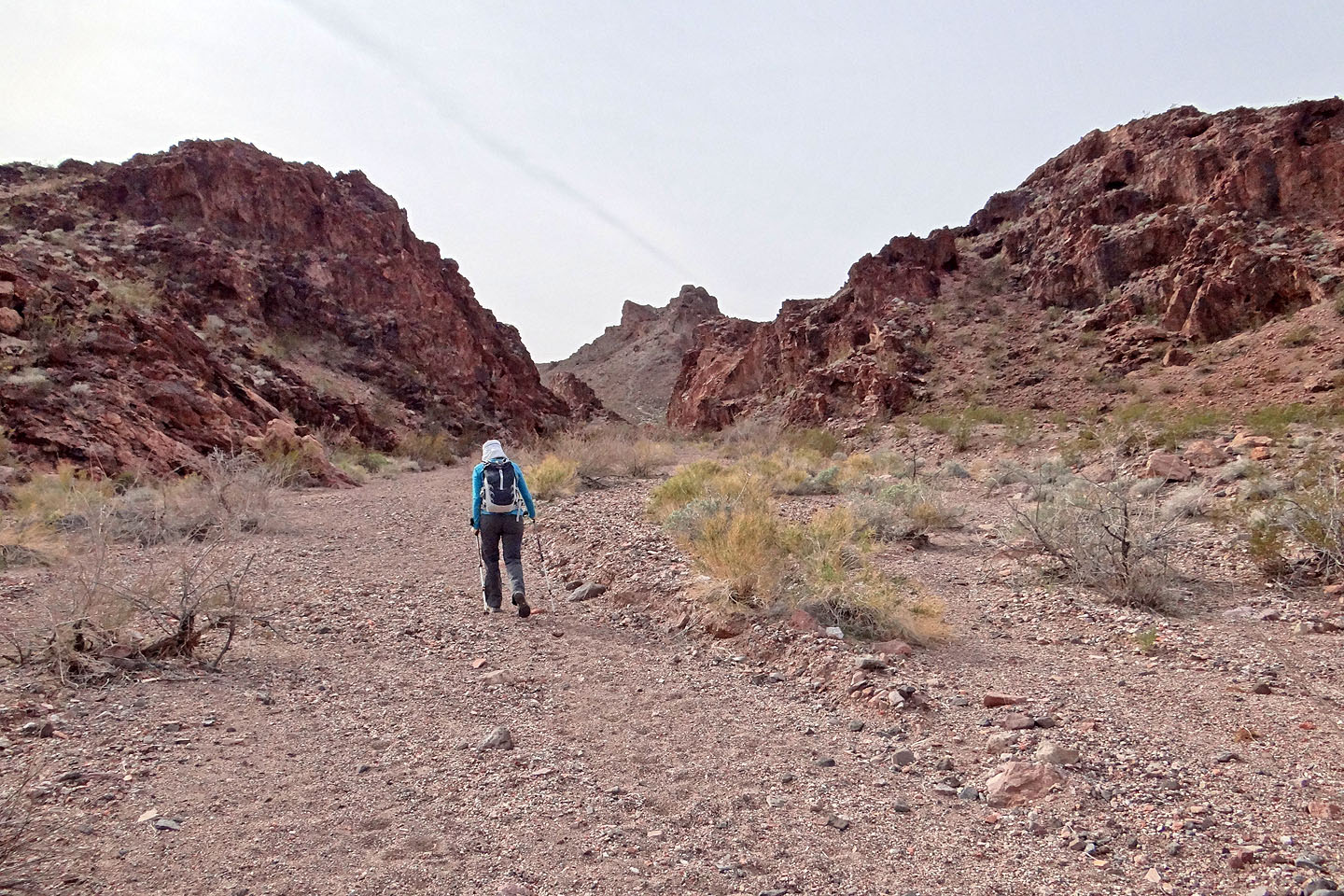
Following the wash into the notch
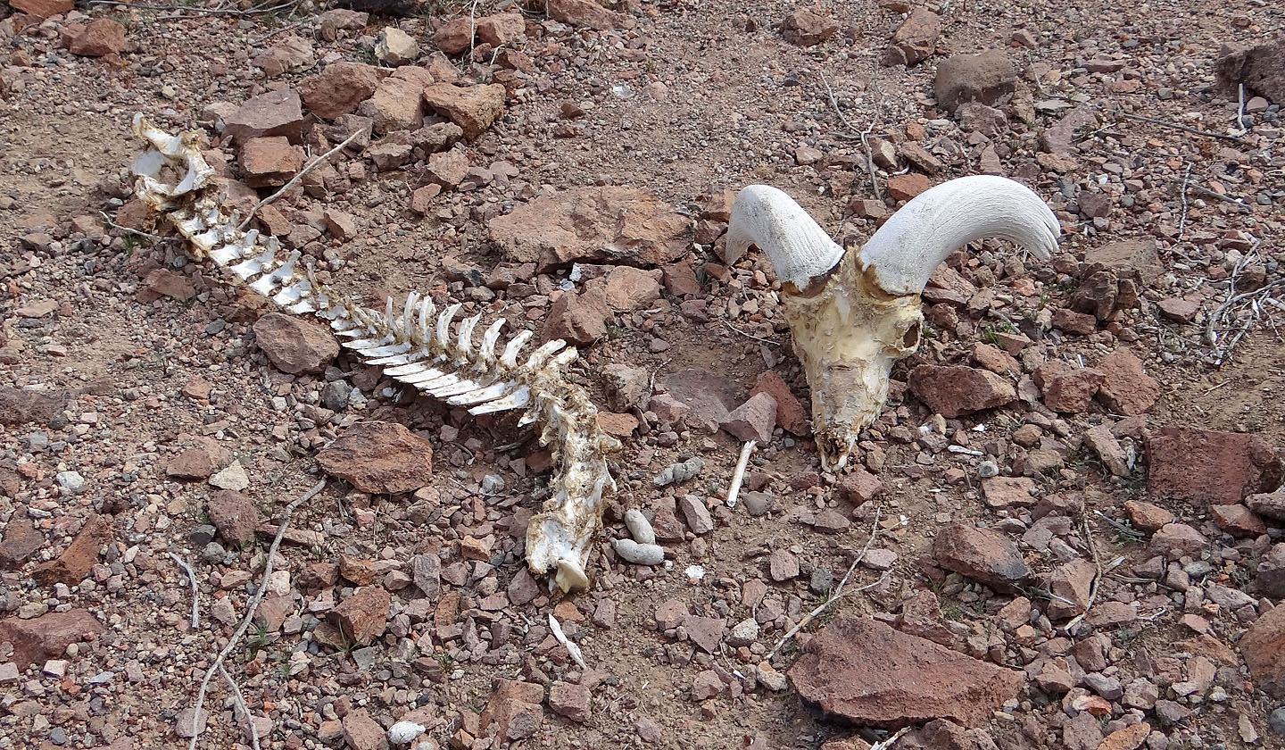
The remains of a bighorn sheep
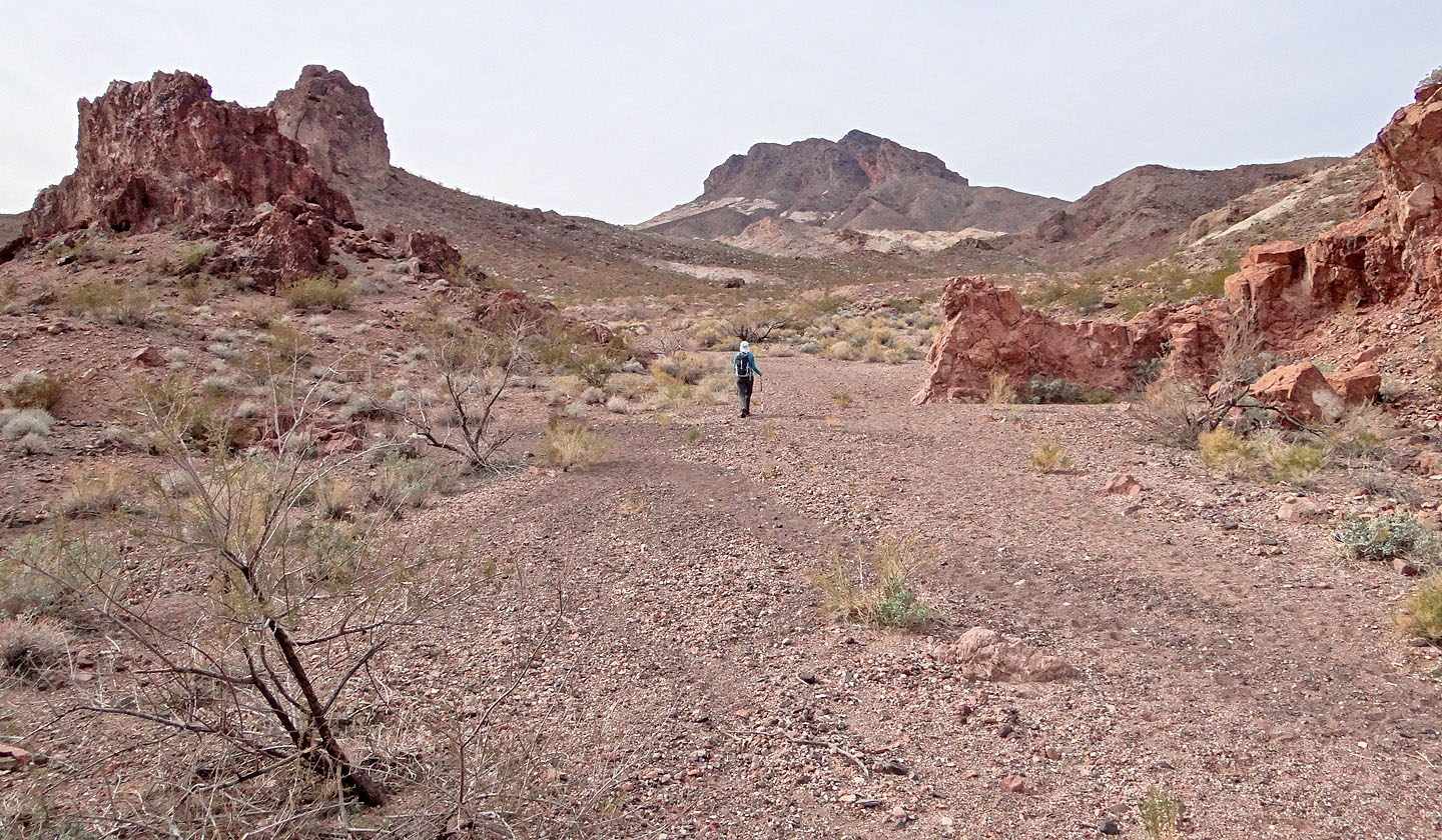
After we turned a corner Bighorn Butte came into view
Looking back at the notch
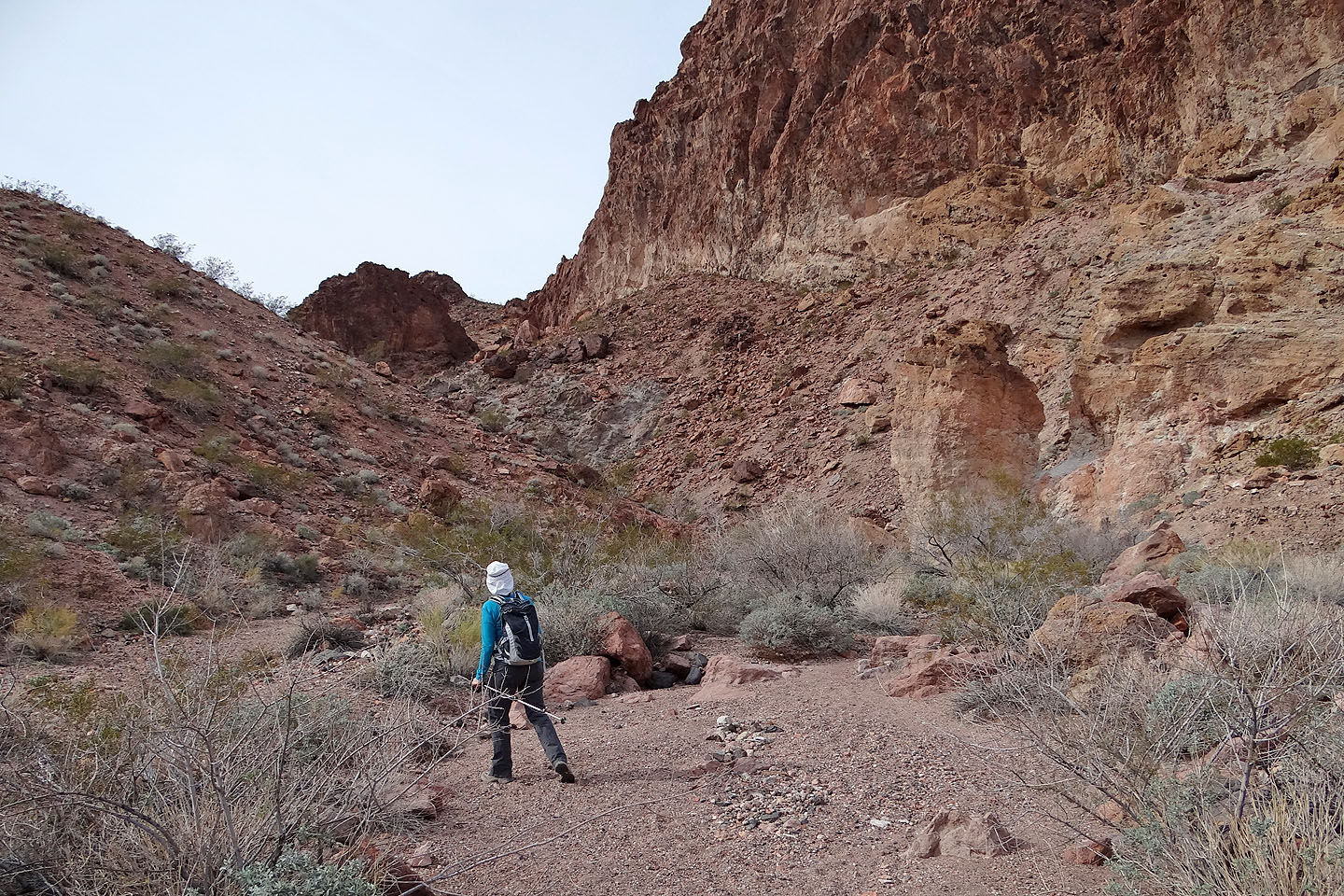
We passed the west slopes of Bighorn Butte
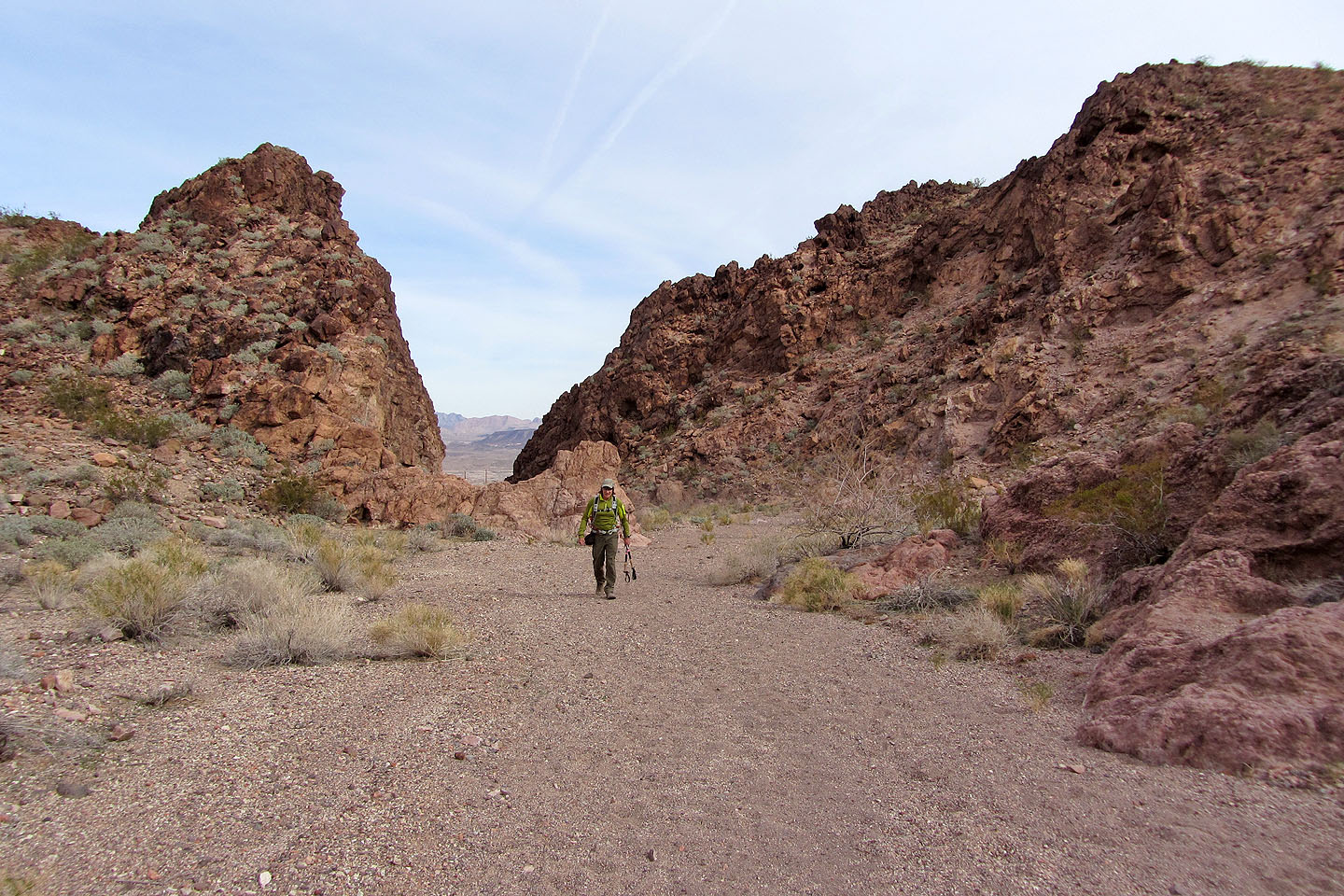
The pillar of rock on the right marks the entrance to a short canyon
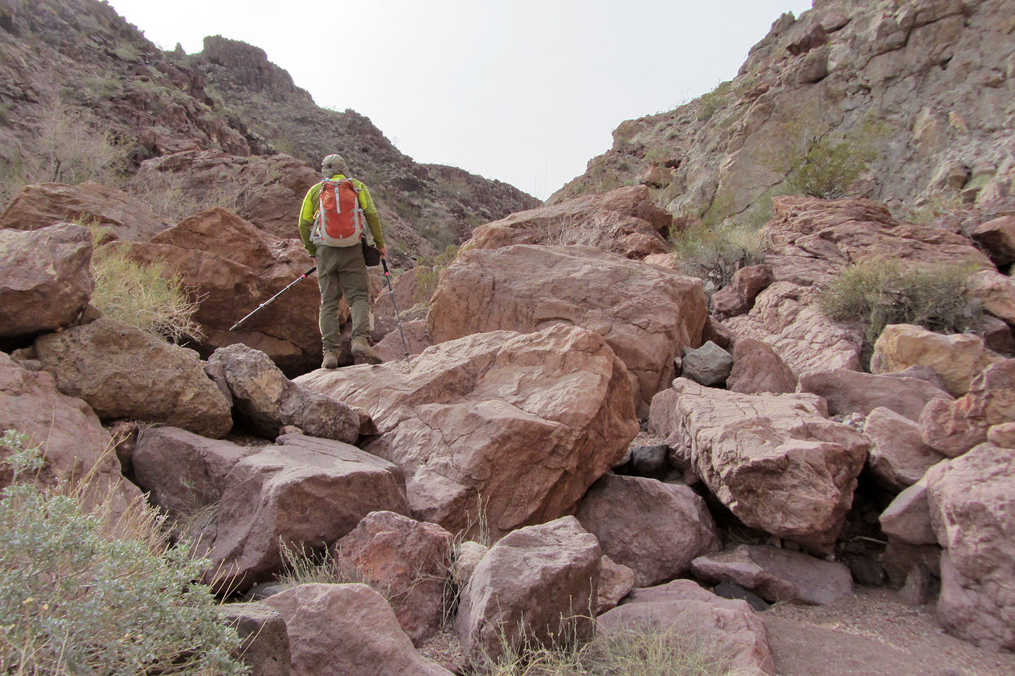
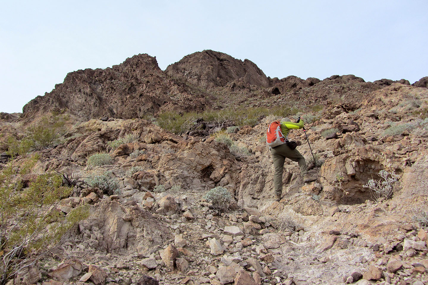
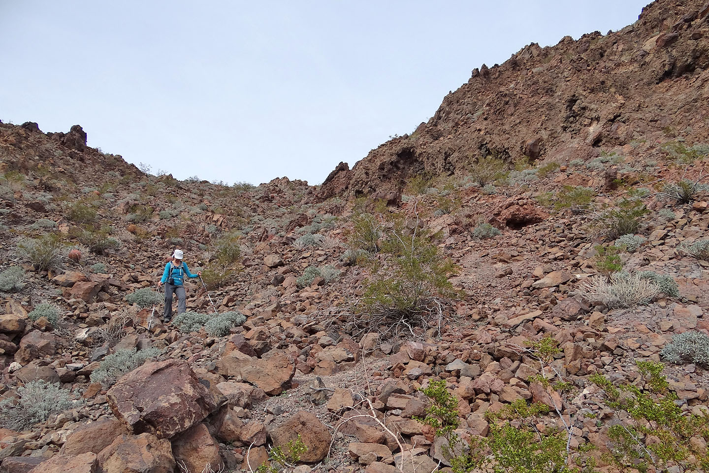
Climbing over boulders
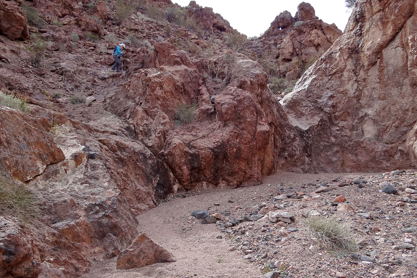
Bypassing a dry fall
Before reaching the boulder ahead (mouse over for another view) we exited the wash
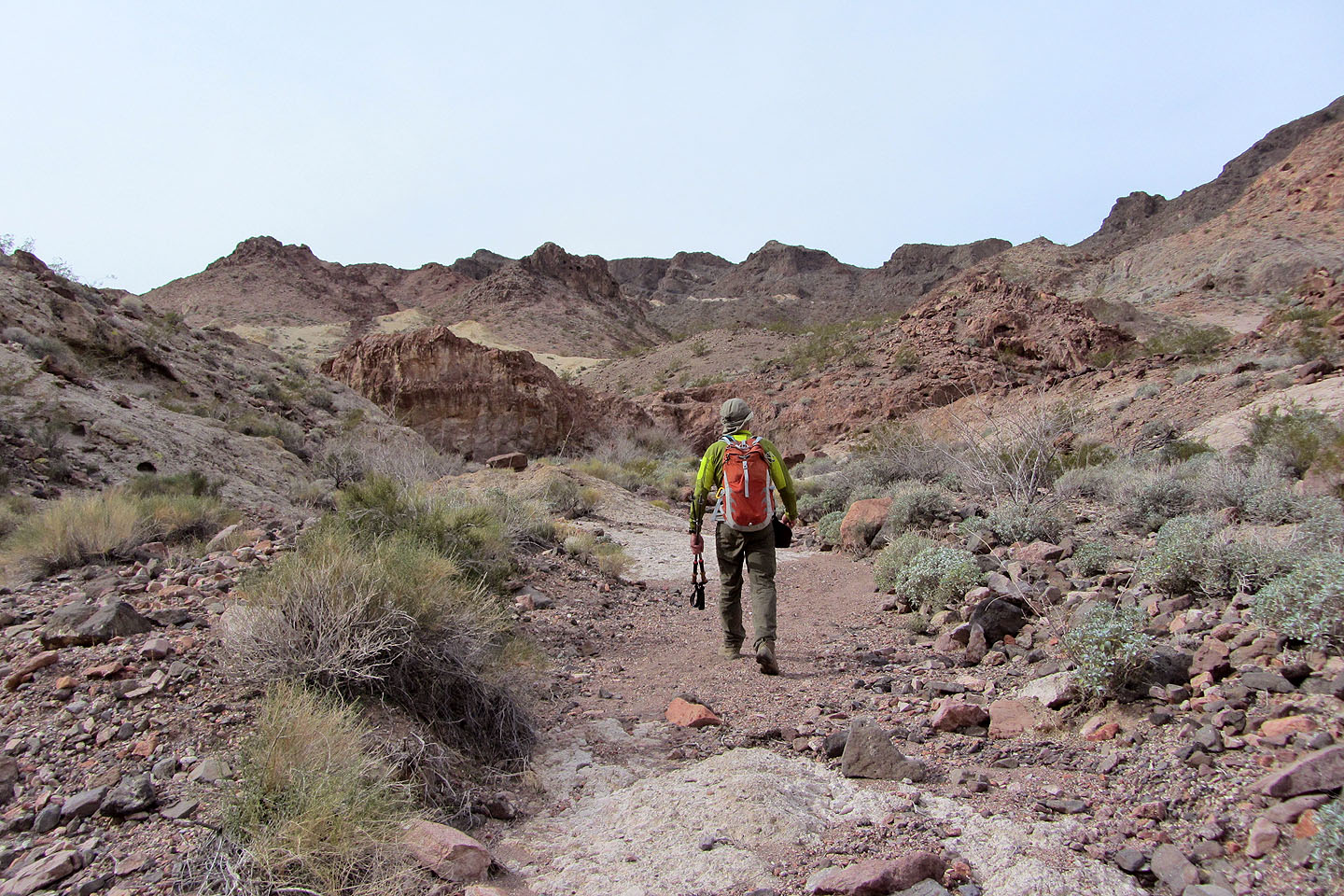
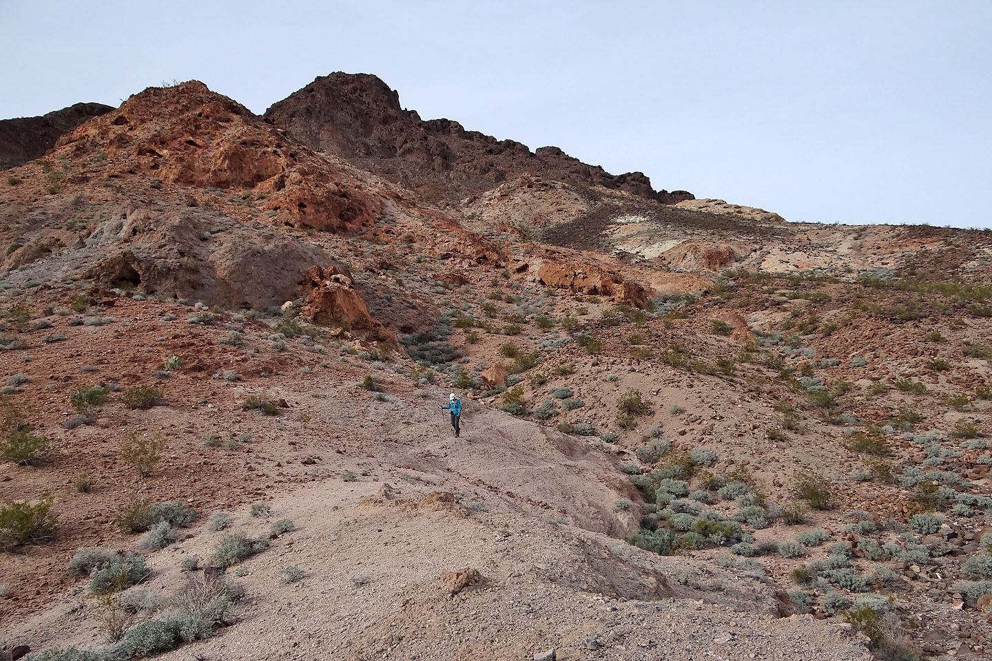
We started up a side wash that leads to the base of Bighorn
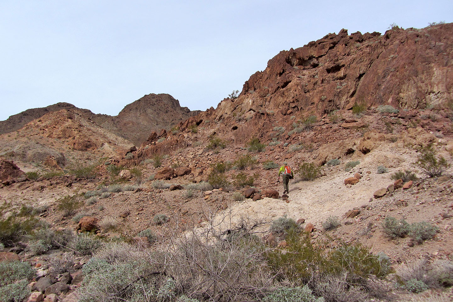
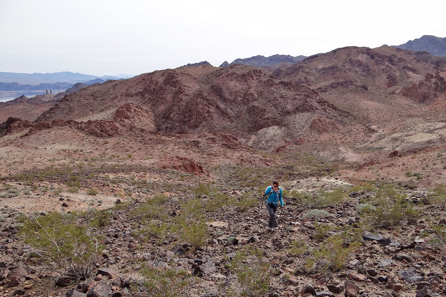
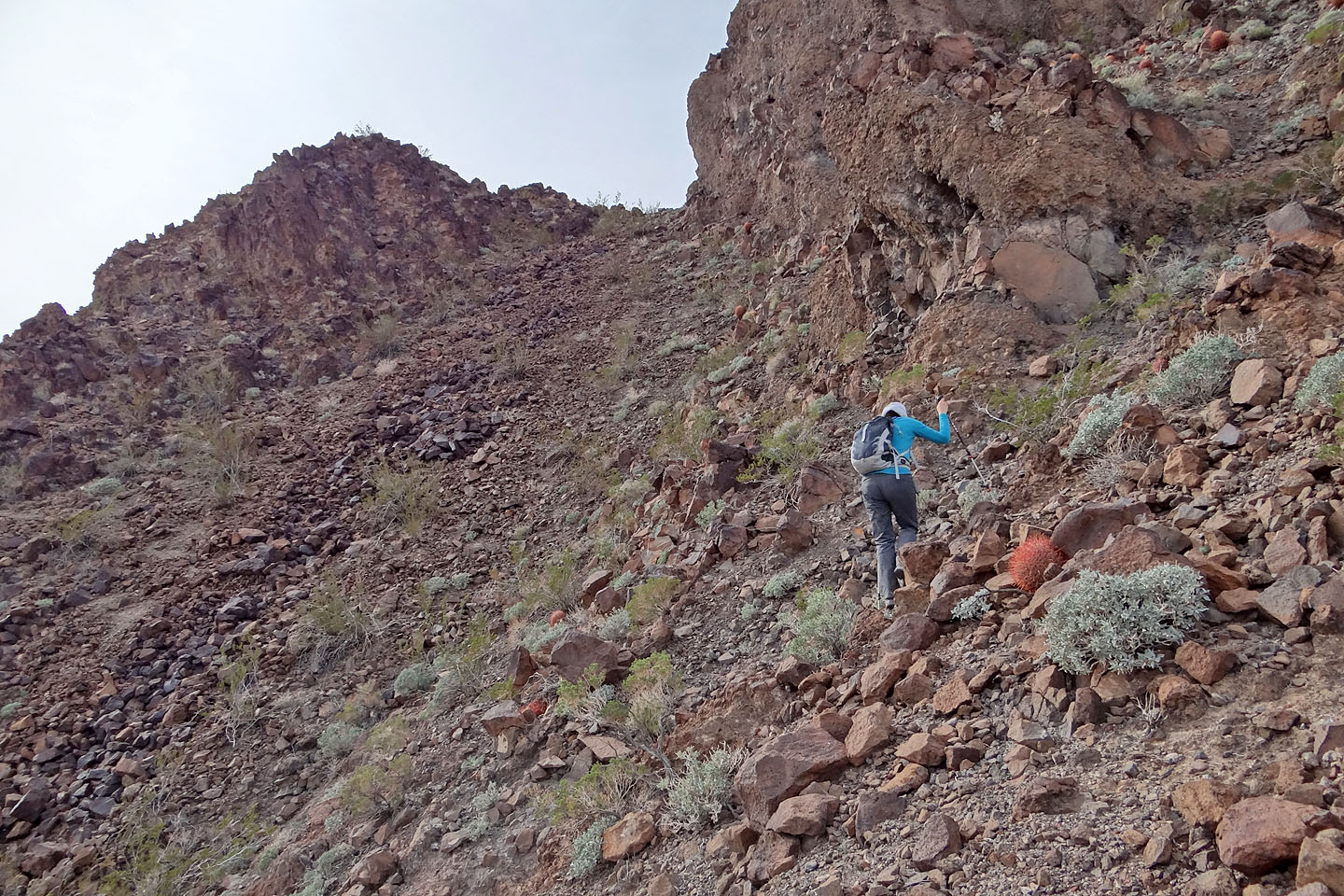
There's a saddle left of the summit, but we climbed the gentle slope on our right
As we drew closer to the summit, we could see a ramp between an outcrop and the summit
Looking back
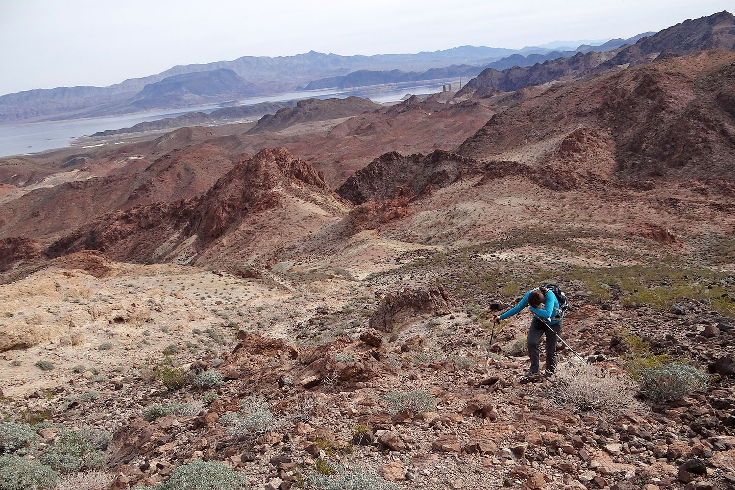
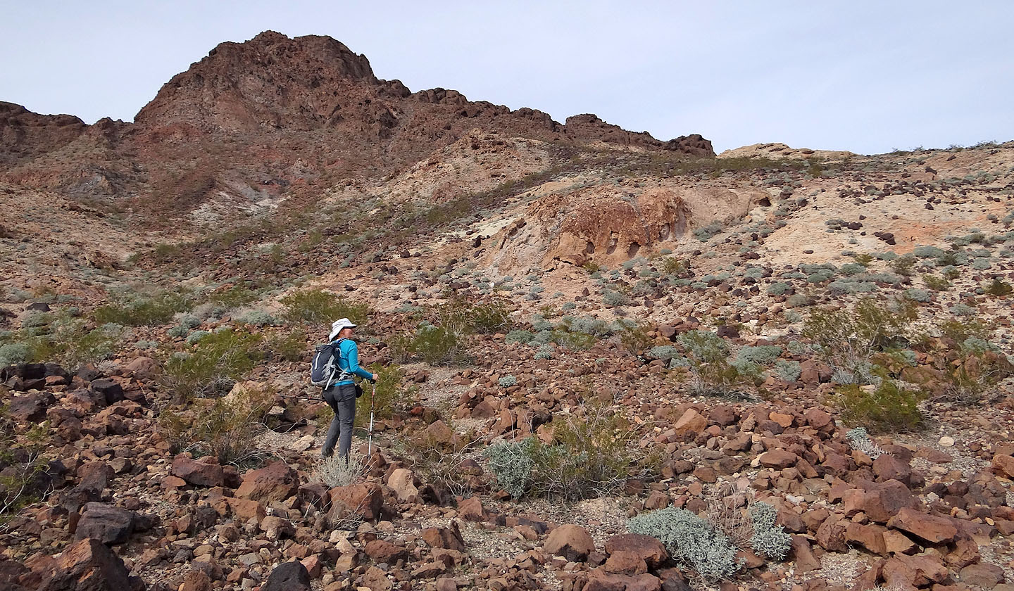
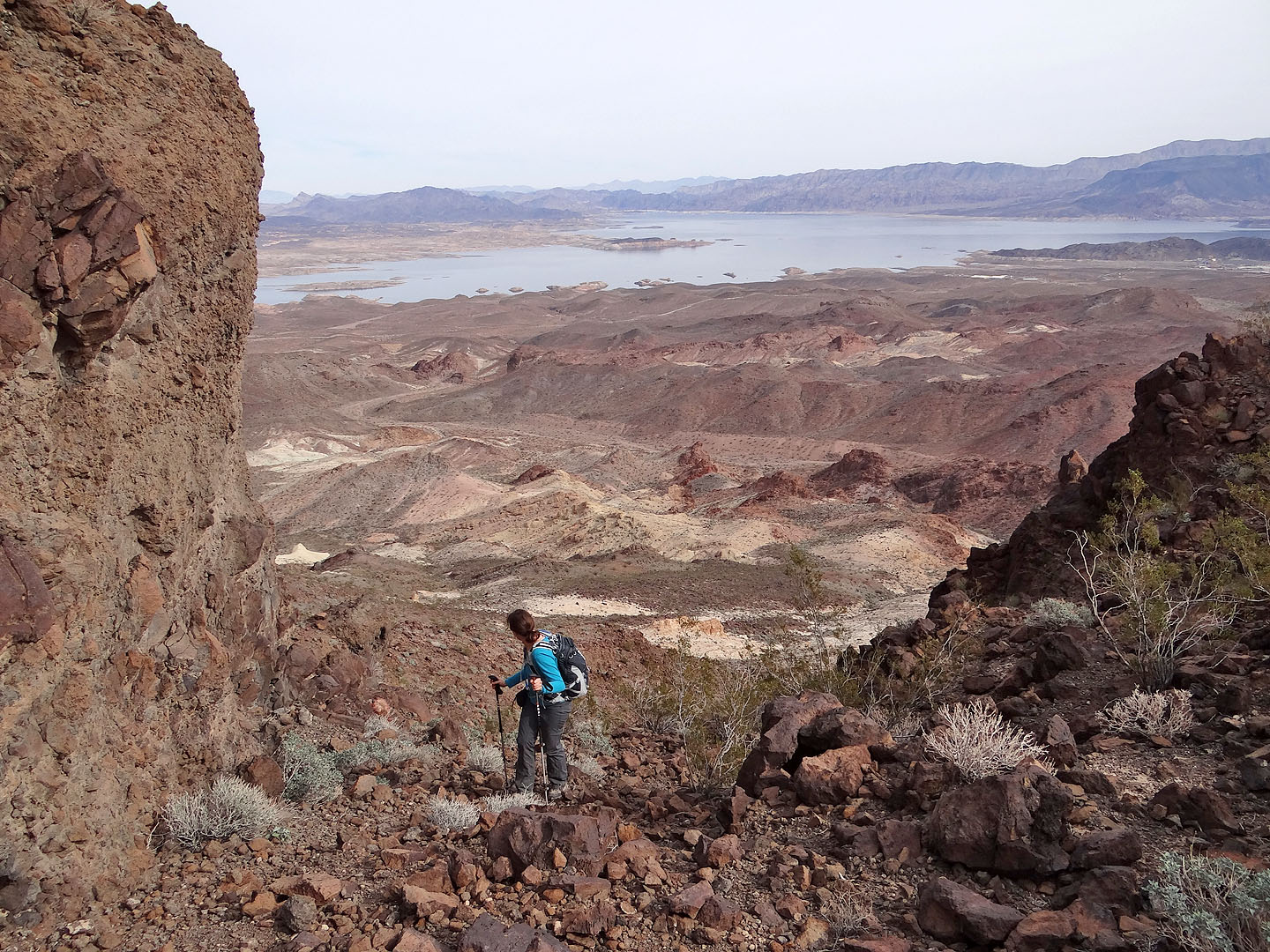
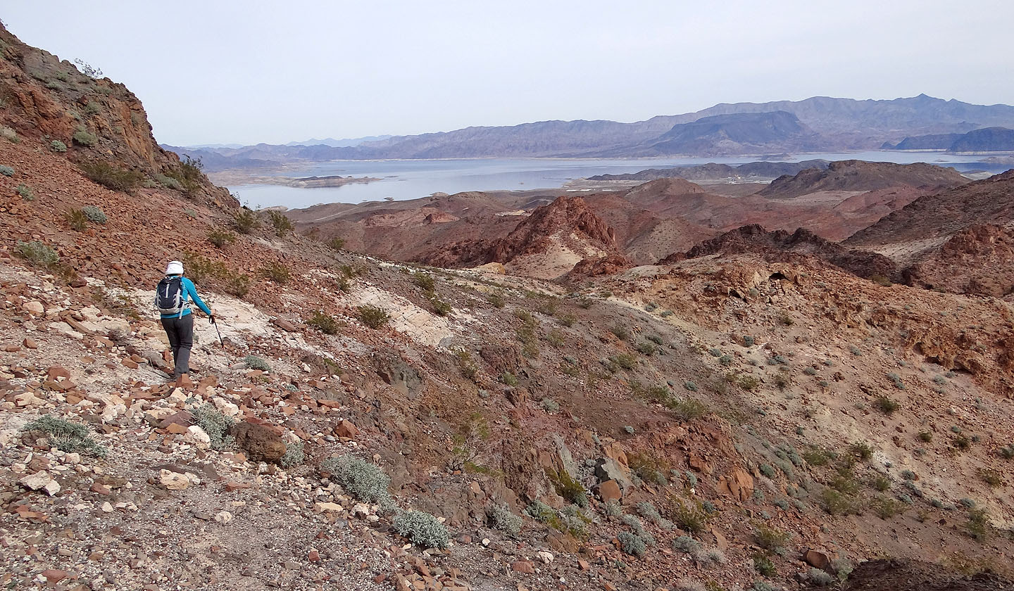
The gentle terrain below suggests other approaches to the mountain
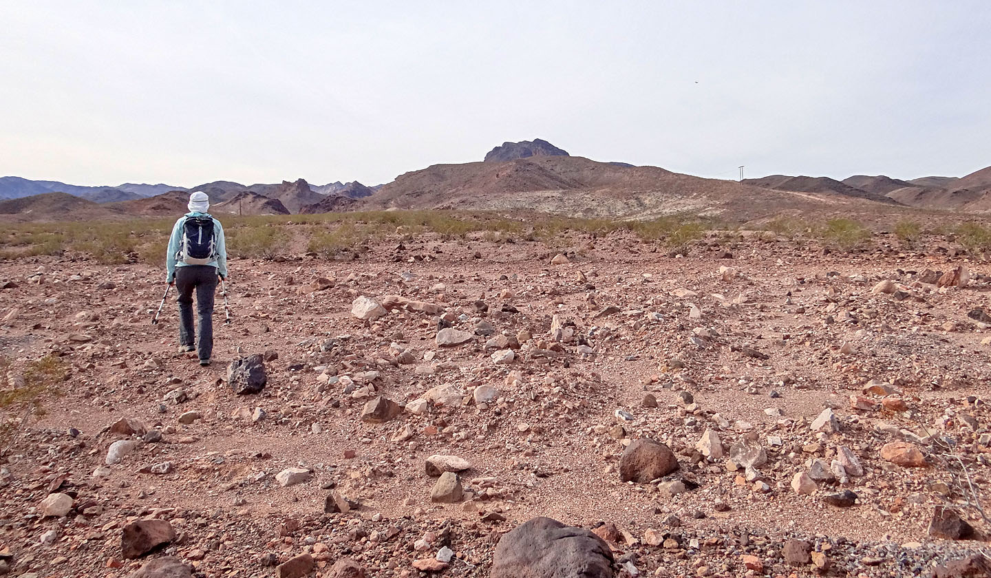
Lake Mead in the background. The black mountain on the right is Fortification Hill.
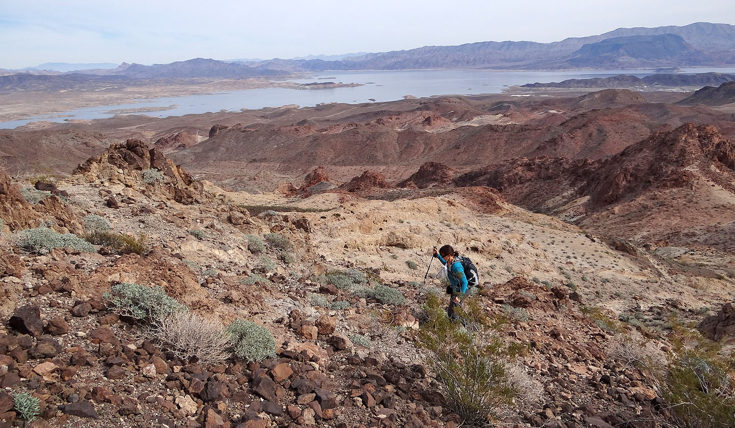
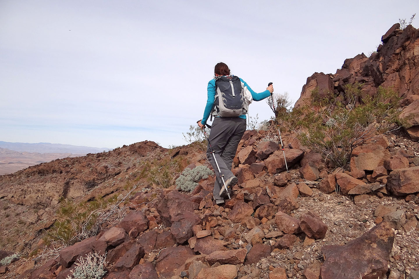
We make our way to the ramp
Looking back from the top of the ramp
After turning a corner we found an easy grade. We're only a couple minutes from the top.
Taking the last steps to the top
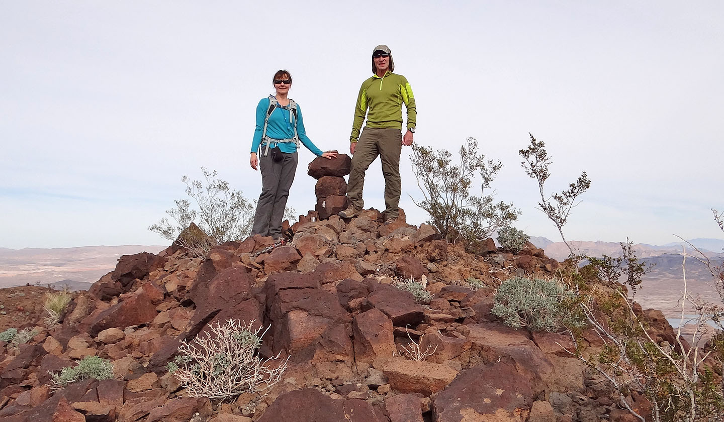
On the summit of Bighorn Butte
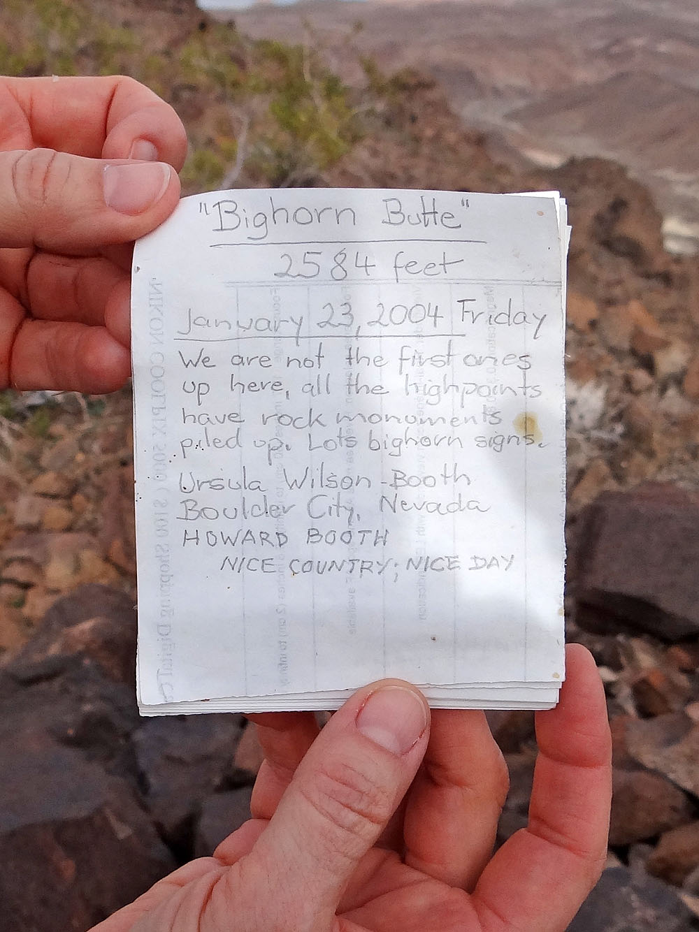
First entry in the summit register
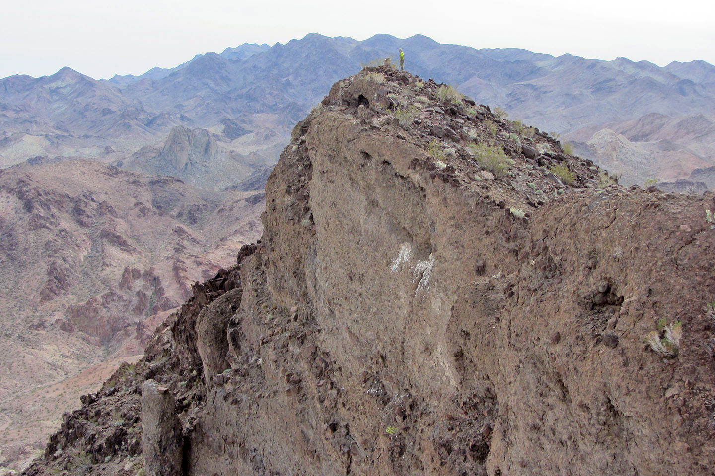
There's a precipitous drop on the east side of the summit
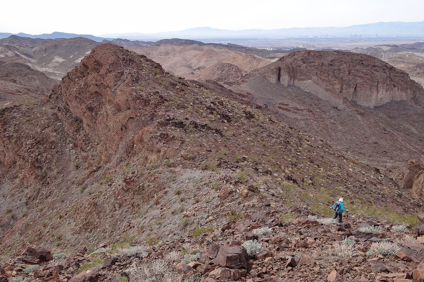
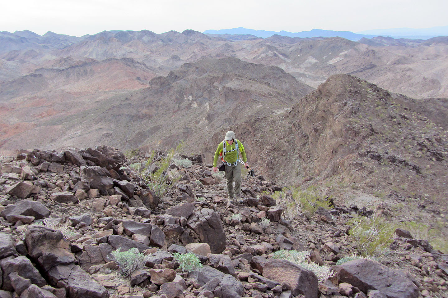
Heading down to the saddle
Loose rock covers the slope below the saddle
After descending a way, we made our way back to the wash on the other side of the
ridge ahead
Our approximate route (mouse over to zoom out)
Heading down to the wash
Boulder Beach (5.1 mi, 2569 ft, 1109 ft)