bobspirko.ca | Home | Canada Trips | US Trips | Hiking | Snowshoeing | MAP | About
Fortification Hill
Lake Mead NRA, Arizona
November 10, 2010
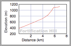
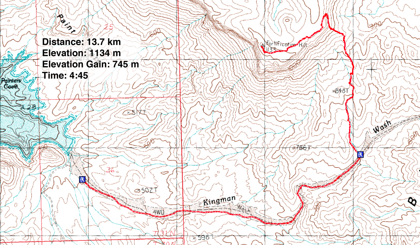
Distance: 13.7 km (8.5 mi)
Cumulative Elevation Gain: 750 m (2461 ft)
Fortification Hill, a mesa 1.6 km long, is an extinct volcano and is distinct enough to be recognized from afar. It's also easily climbed. A trail runs to the summit and because of a brief scramble, the trip is a class 2 hike.
Accessing the trailhead from Las Vegas is easy now. When Dinah and I drove across the Nevada-Arizona border last year to climb Liberty Bell Arch Peak in Arizona, we had to contend with long lineups. Prior to crossing Hoover Dam, vehicles were subjected to security checks. But that's changed. Recently the Mike O'Callaghan-Pat Tillman Memorial Bridge (aka Hoover Dam Bypass) opened, literally paving the way for a quick border crossing. Three weeks after it opened, we took advantage of the new bridge to cross into Arizona to climb Fortification Hill.
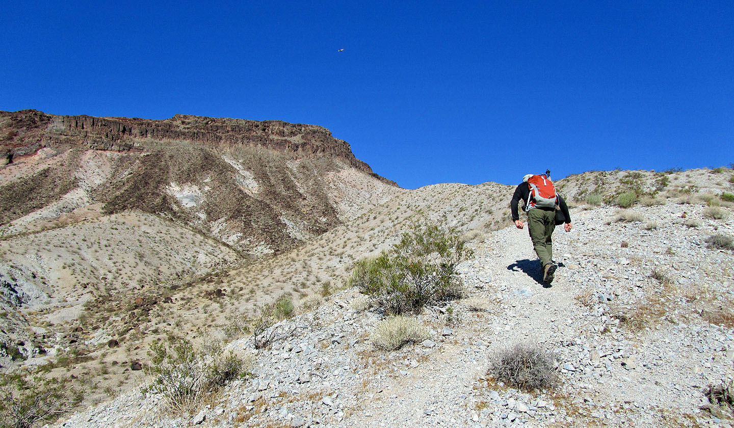
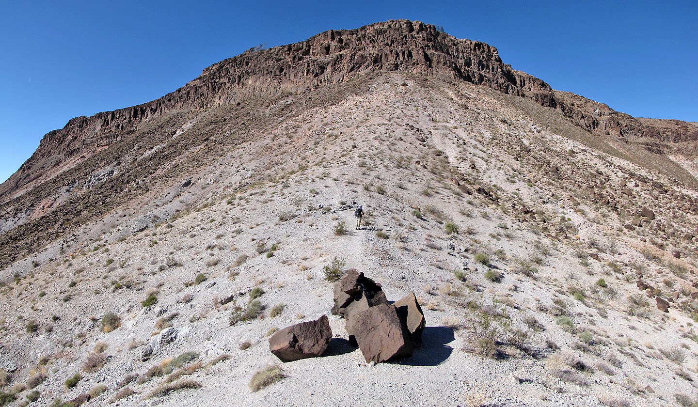
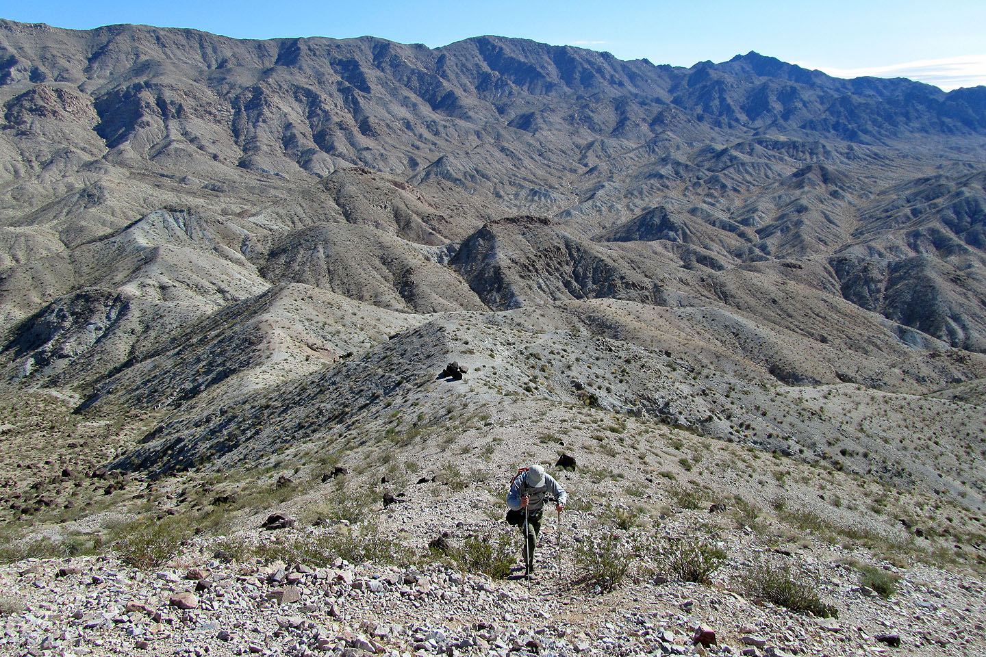
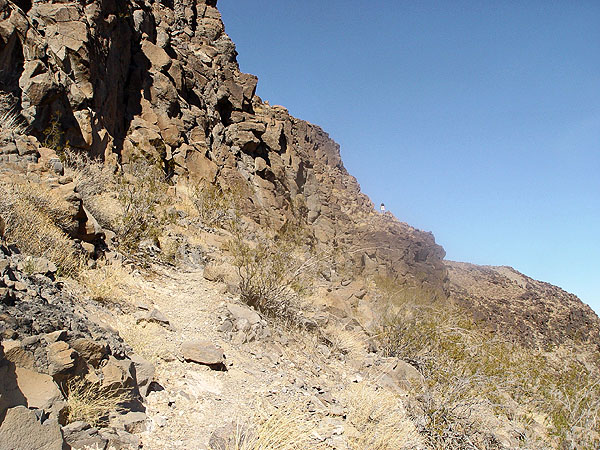
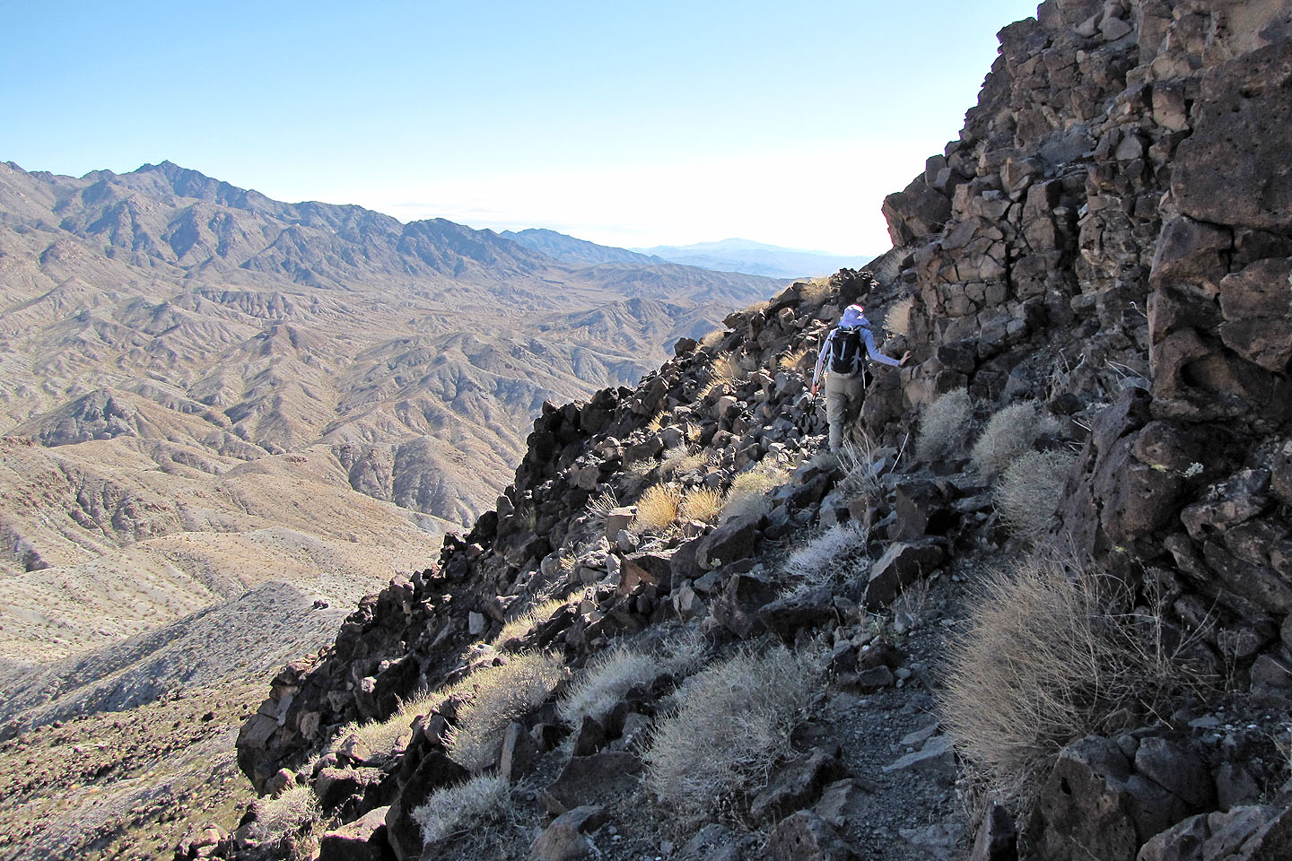
We didn't have a 4WD vehicle, so we had to hike 3.8 km up Fortification Road to the trailhead. The trail was well-defined, and we encountered no problems. It led us up a wash before ascending a ridge. The ridge, in turn, leads to the base of the cliff band. After climbing up through some rocks – a short, easy scramble – the trail followed a ledge above a vertical drop. It's safe enough if one stays on the trail, but straying off of it, we later learned, could have tragic consequences. After the trail traverses the ledge, it climbs again to reach the plateau of Fortification. From there, it's a long walk to the summit.
Although Fortification Hill was a pleasant enough hike, I was surprised when Shin said he wished he could have joined us. He had climbed it before so I wondered what the attraction was. Then he explained.
Two years ago, almost to the day, Shin had lost a hiking friend, Jay, on Fortification Hill. Jay, an experienced climber, had left the trail on the ledge to scramble up the cliffs when he fell 20 metres. He died of head injuries. Shin was on the trip when the tragedy occurred. Shin was only 60 m away at the time, but neither he nor anyone else saw him fall. Shin had taken plenty of photos of the trip, but not until later, when he examined them closely, did he realize that he had unknowingly taken a photo of Jay. He had caught him climbing just before he fell. The weekend after Dinah and I climbed up Fortification, Shin and some friends commemorated Jay's passing.
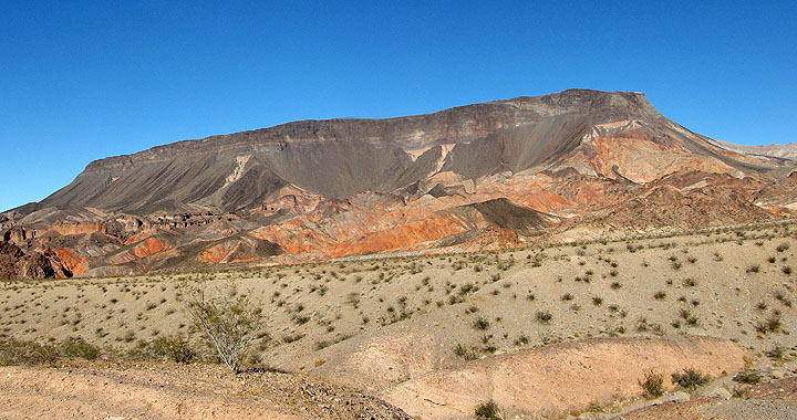 Fortification Hill from Kingman Wash Road
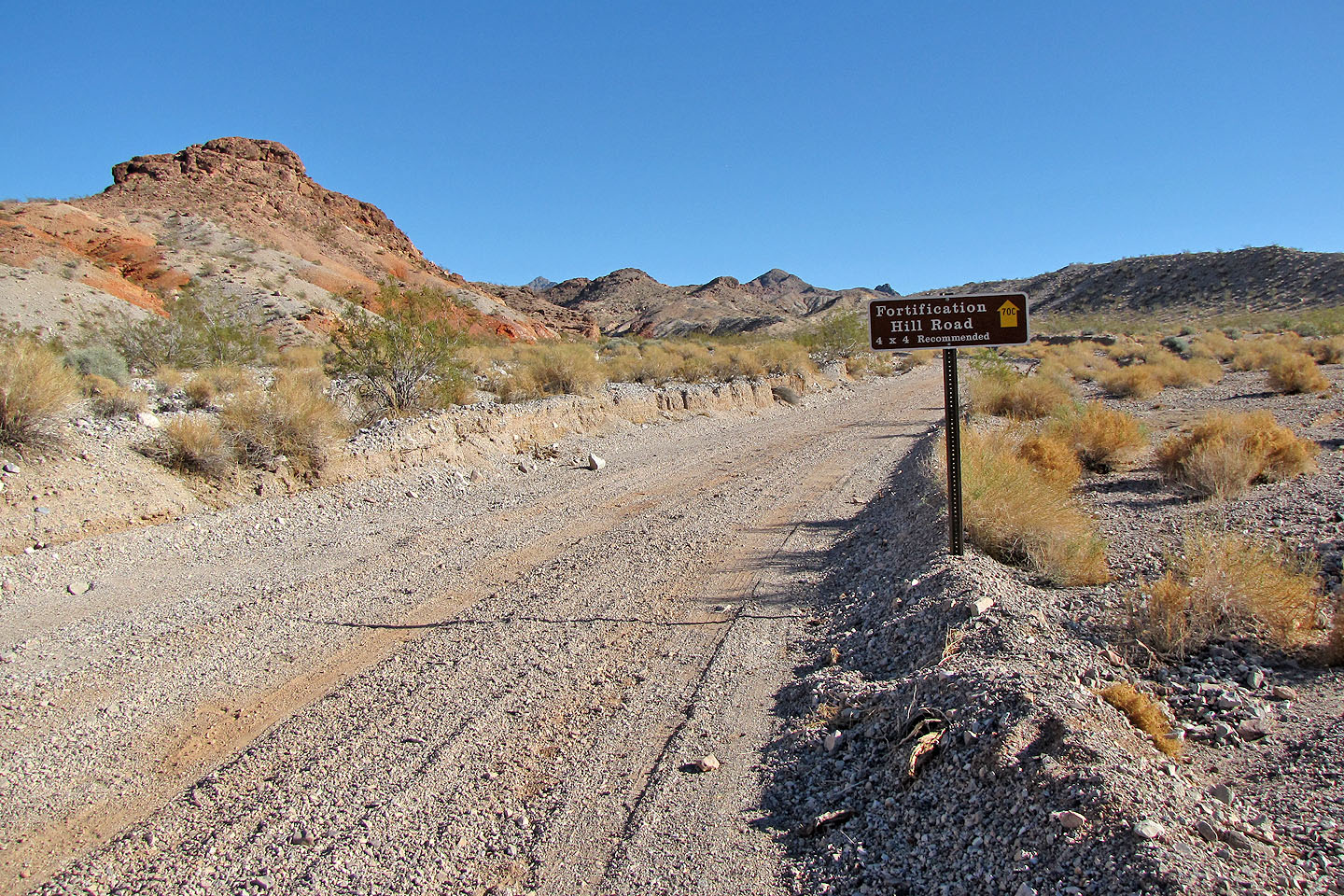
Our hike started here since we didn't have 4-wheel drive
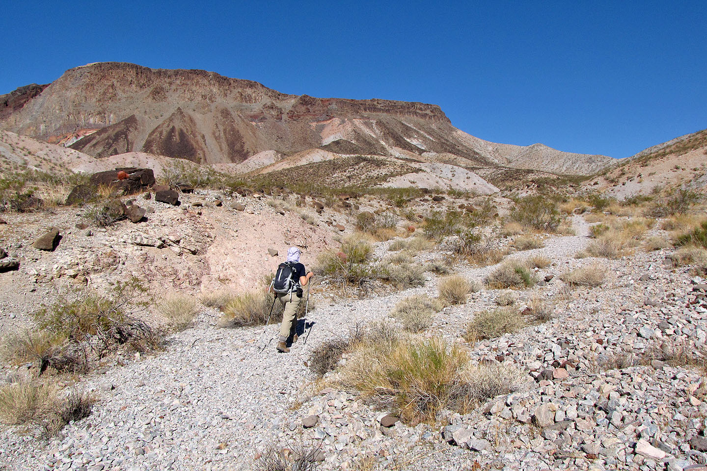
After leaving the road we started up the trail
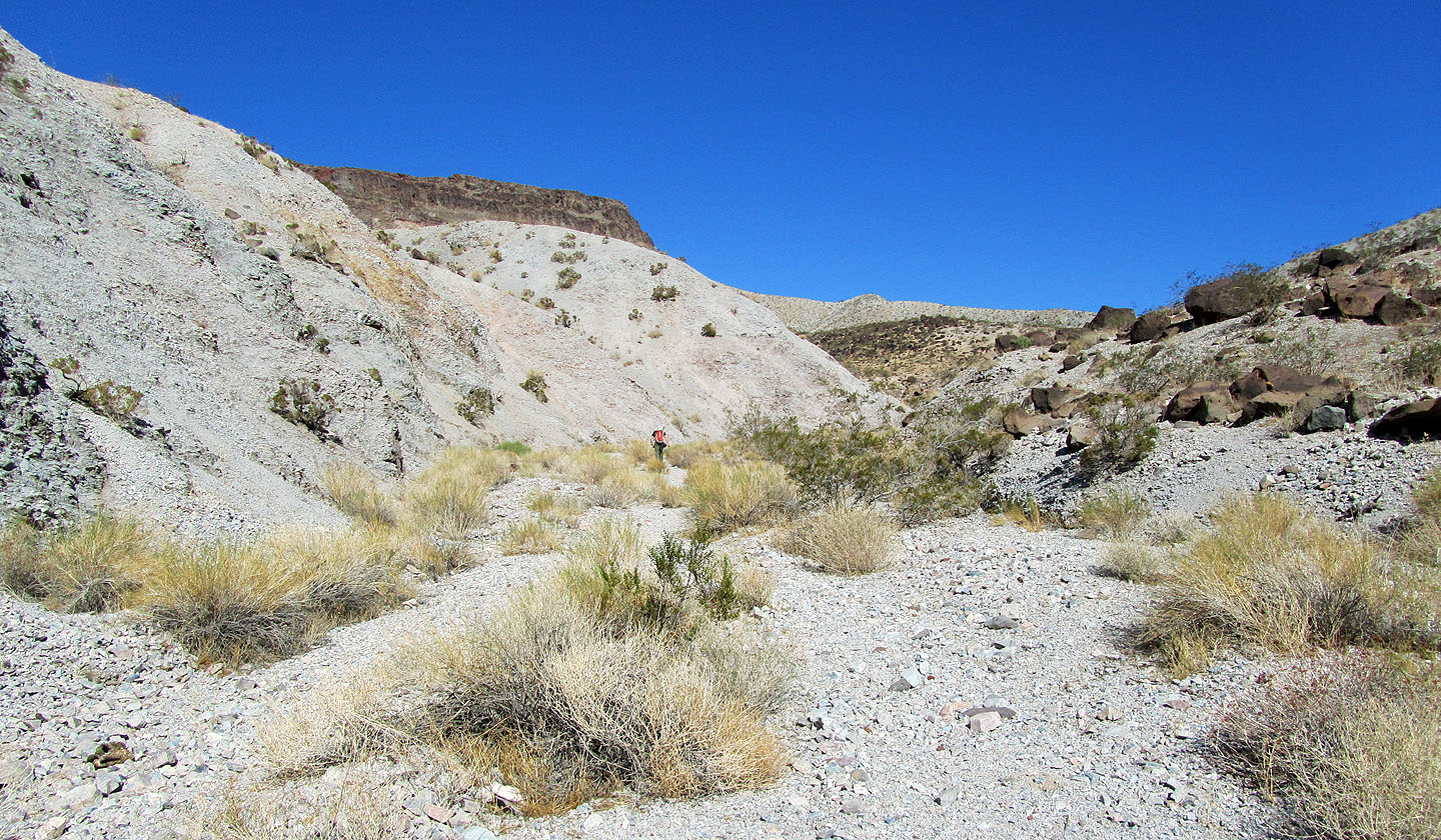
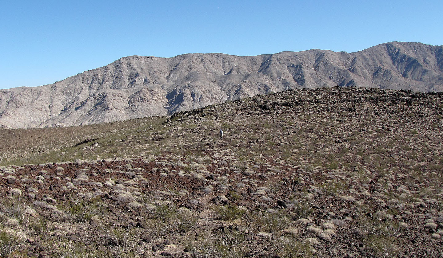
After hiking up the wash we ended up on the skyline ridge in the centre
On the ridge (mouse over to look back)
The trail leads to the base of the cliff band before turning right
Heading to the cliff band. Mount Wilson on the right (mouse over)
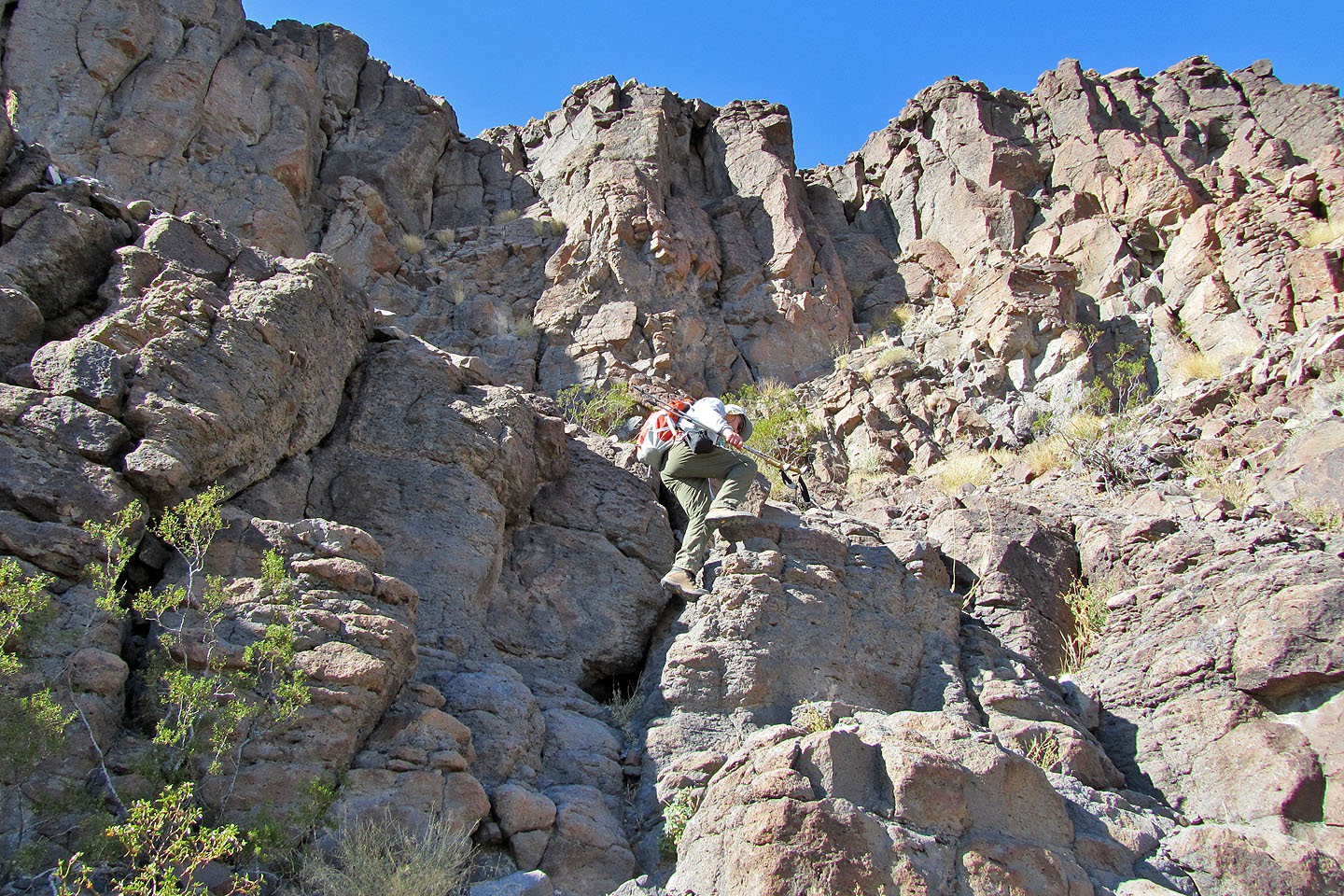
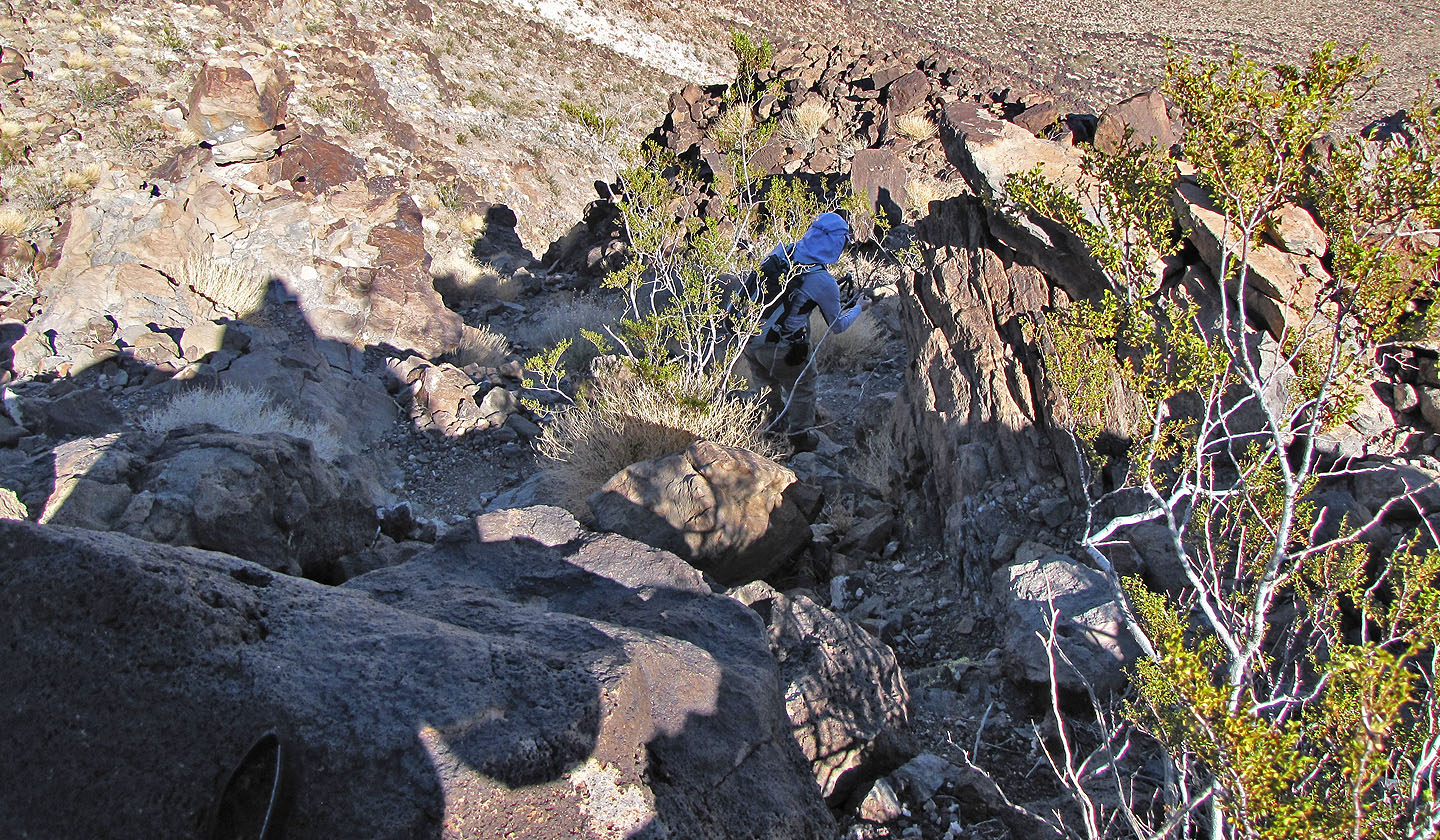
A brief scramble leads to a ledge
Shin took this picture moments before his friend fell. A hiker can be seen here, but a close look
at the photo (mouse over for a close-up) shows another man climbing (top left).
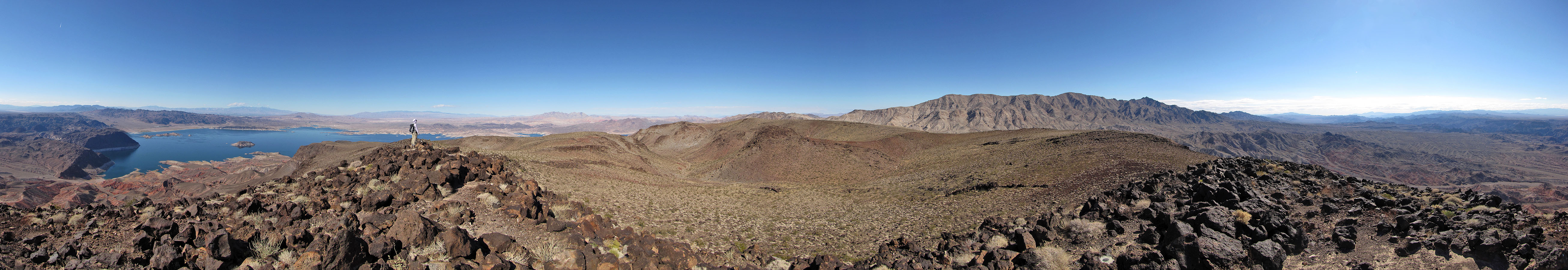
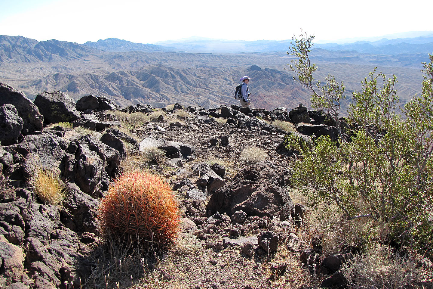
After climbing up we reached the top of the mesa
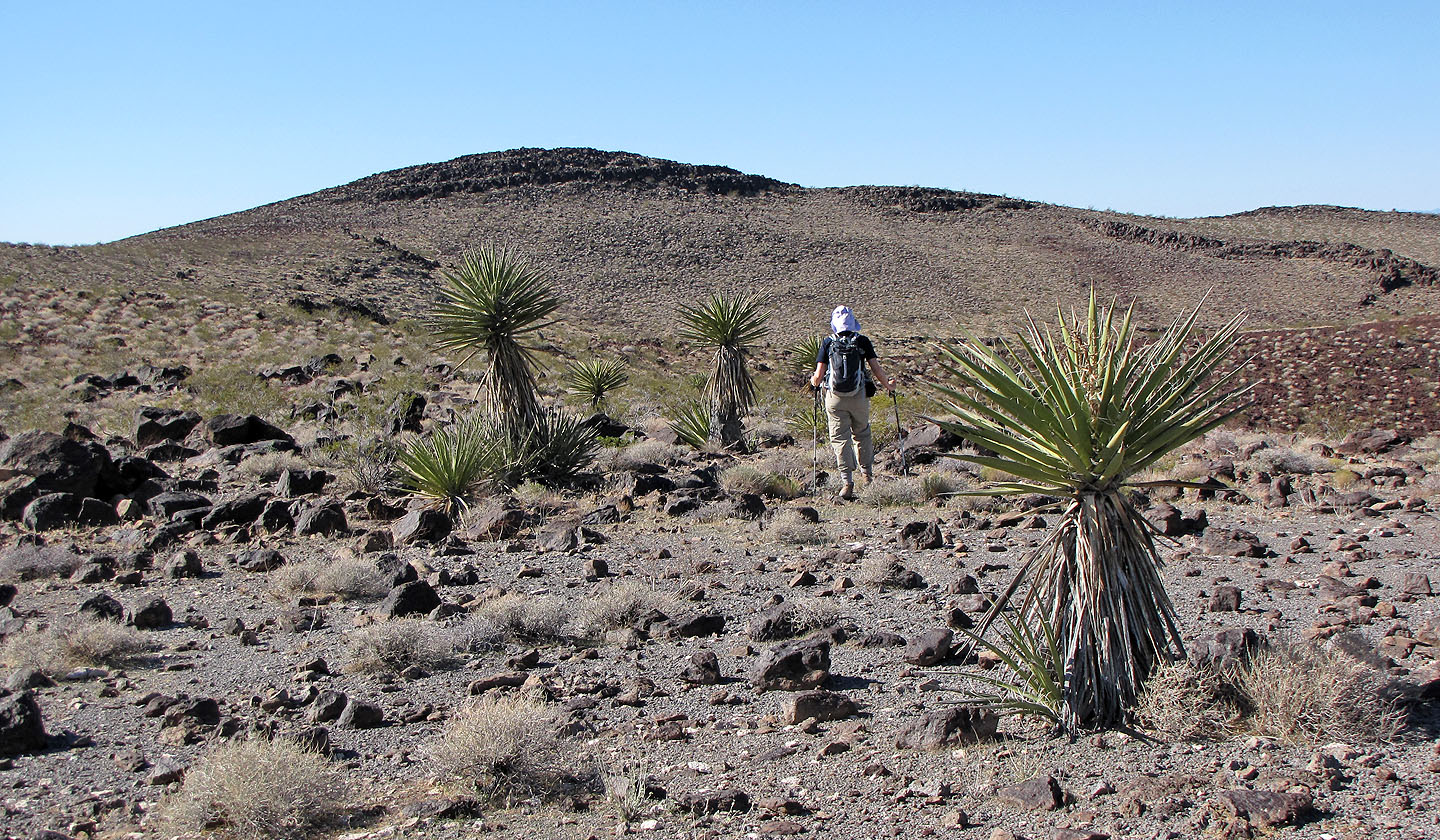
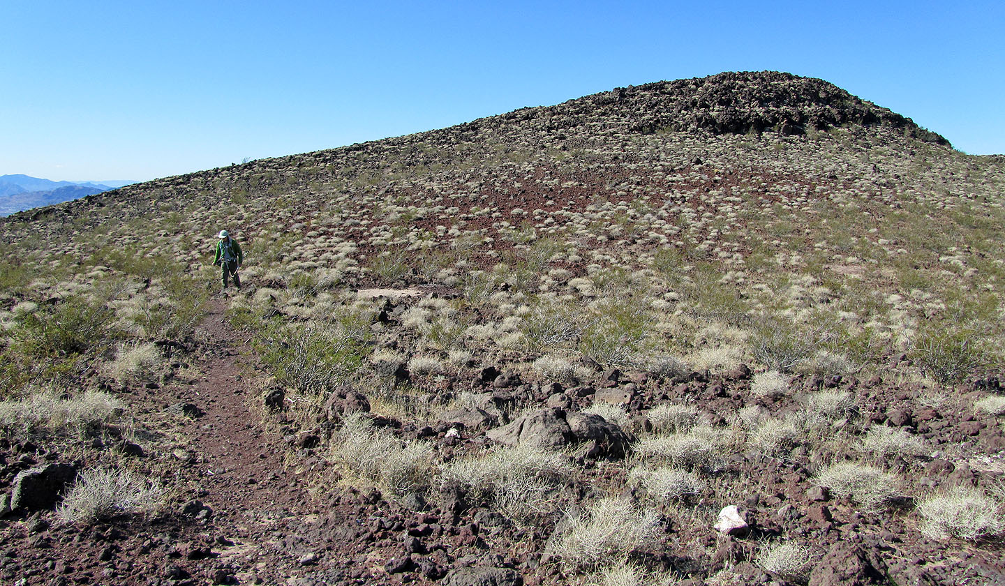
Heading to the summit
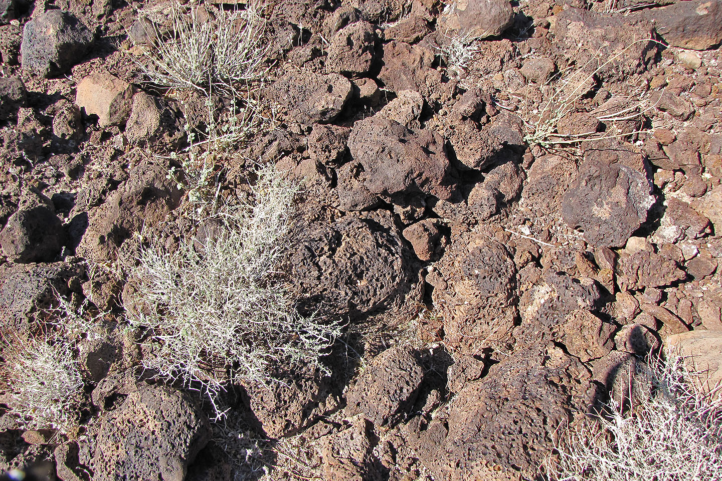
Volcanic rock covers the mesa
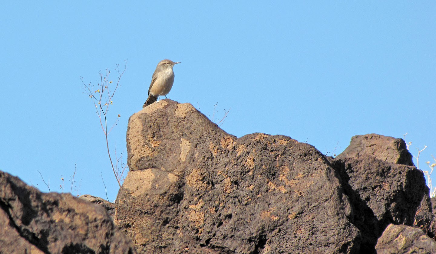
A rock wren on the summit
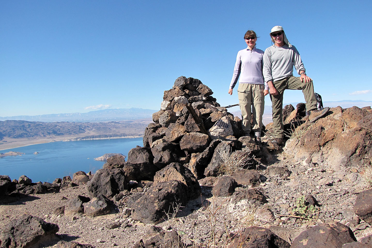
Posing by the cairn
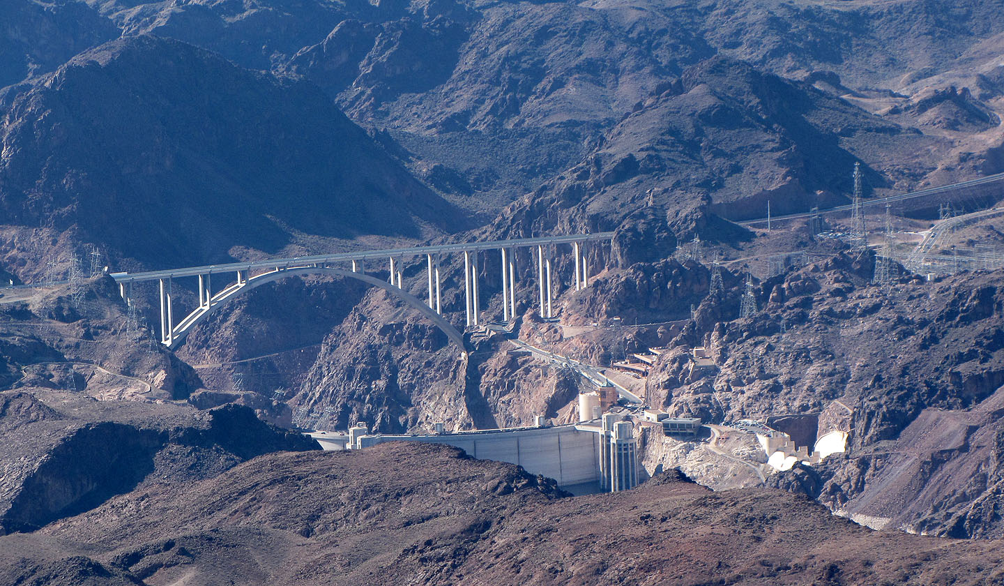
Mike O'Callaghan-Pat Tillman Memorial Bridge and Hoover Dam
Starting down from the summit
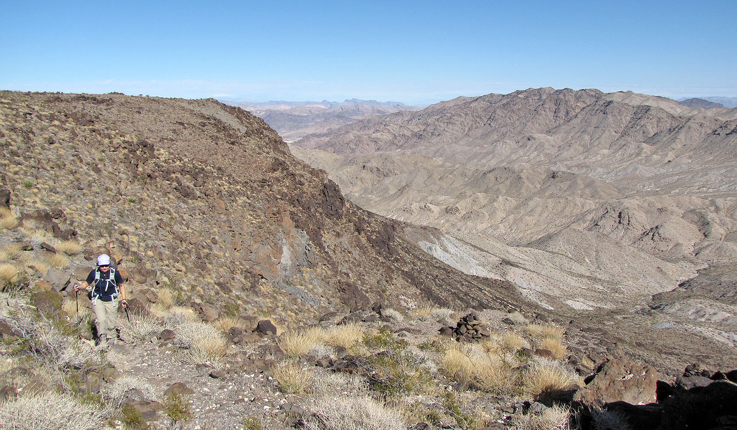
Hiking back across the mesa
On the way back we stayed on the trail
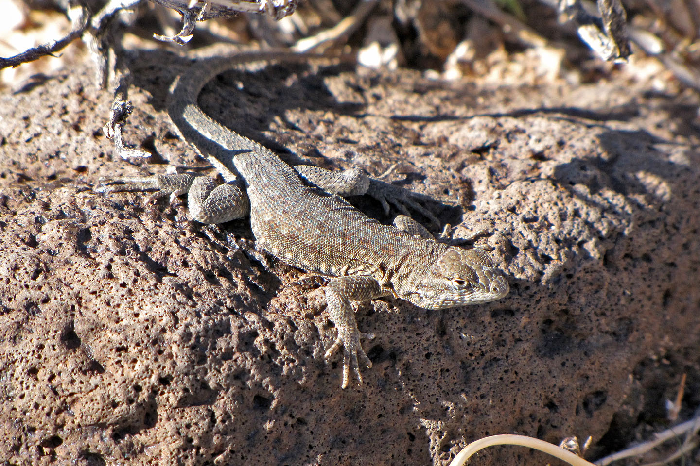
Lizard
A cairn (top left) marks the descent route to the ledge
Following the ledge back
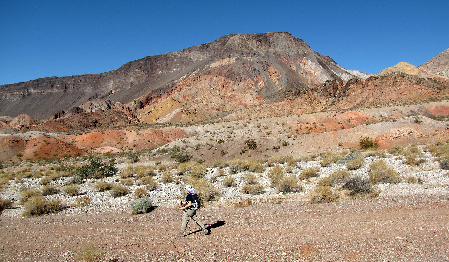
On the road, Fortification Hill in the background
Hoover Dam (8.5 mi, 3720 ft, 2444 ft)