bobspirko.ca | Home | Canada Trips | US Trips | Hiking | Snowshoeing | MAP | About
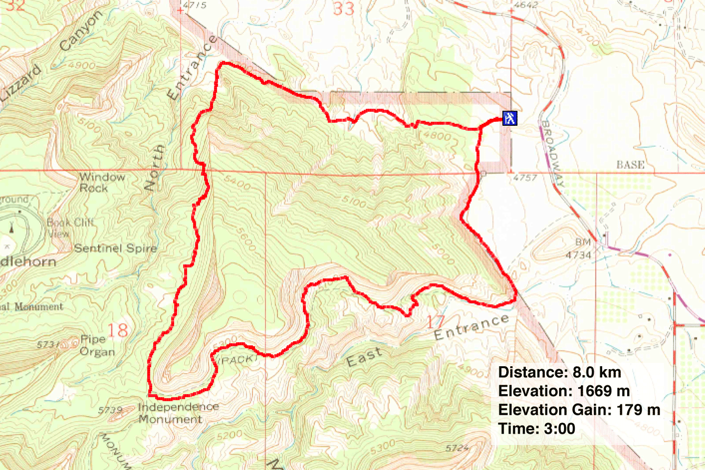
Monument Canyon Loop
Colorado National Monument, Arizona
May 2, 2024
Distance: 8.0 km (5.0 mi)
Cumulative Elevation Gain: 243 m (797 ft)
Monument Canyon Loop is one of the most popular hikes in Colorado National Monument, so Dinah and I had to do it. The trail runs up Monument Canyon and turns a corner to return down Wedding Canyon. The highlight is the view of Independence Monument, a 137 m sandstone pillar where the canyons meet. Incredibly, we were there when a special event took place on its top.
Pulling into the small parking lot, we found commercial vans dropping off organized hiking groups. Fortunately, we started in solitude. For the first 1.2 km, there was little to see. But once we turned into the canyon, the scenery became engaging.
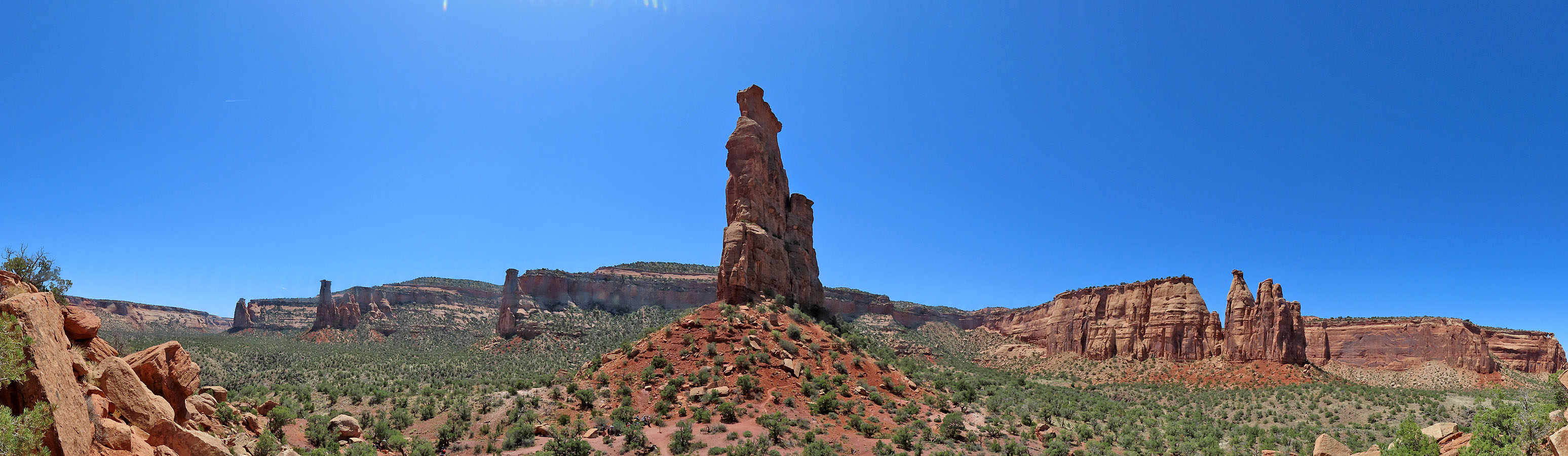
The trail climbs the right side of the canyon. Following the base of the irregular slope, the path takes several turns before Independence Monument comes into close view. We continued to the point where the trail passes the pillar and found a large group relaxing at the base. We didn't stop, although I climbed a short way up the slope to take a panorama before we continued down Wedding Trail.
Wedding Canyon is named after a wedding that took place in 1911 at the base of Independence Monument. To our surprise, a wedding was taking place when we were there, on top of the pillar! We saw six people, including two wearing climbing helmets.
Wedding Canyon wasn't as scenic as Monument Canyon. Trees hindered views, and ahead, there was only the city of Fruita to see. After exiting the canyon, the path takes several annoying ups and downs before returning to the parking lot.
Monument Canyon Loop was a fine, easy hike, although seeing the wedding on Independence Monument was icing on the cake!
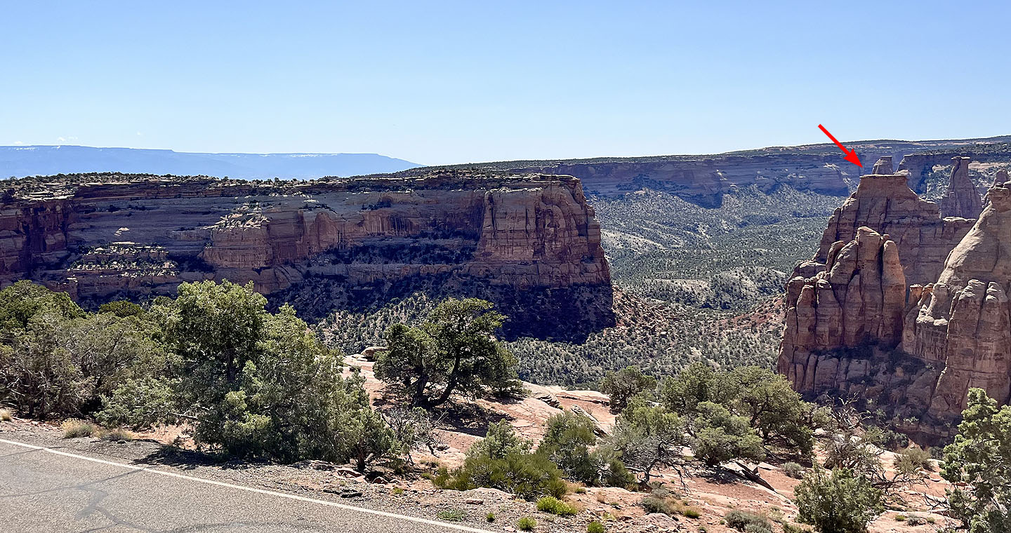 Looking down at Wedding Canyon from the visitor centre on Rim Rock Drive. The arrow shows where the wedding was held on Independence Monument.
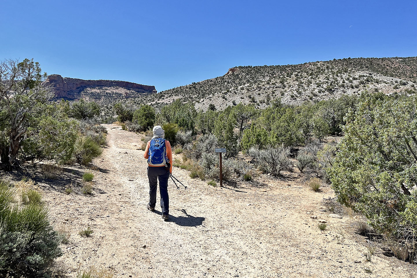 From the trailhead, we walked 150 m to the beginning of the loop
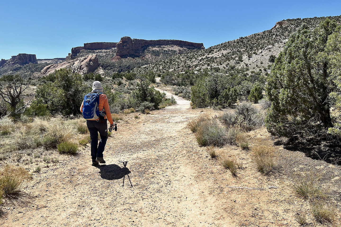 We took the left fork to Monument Canyon
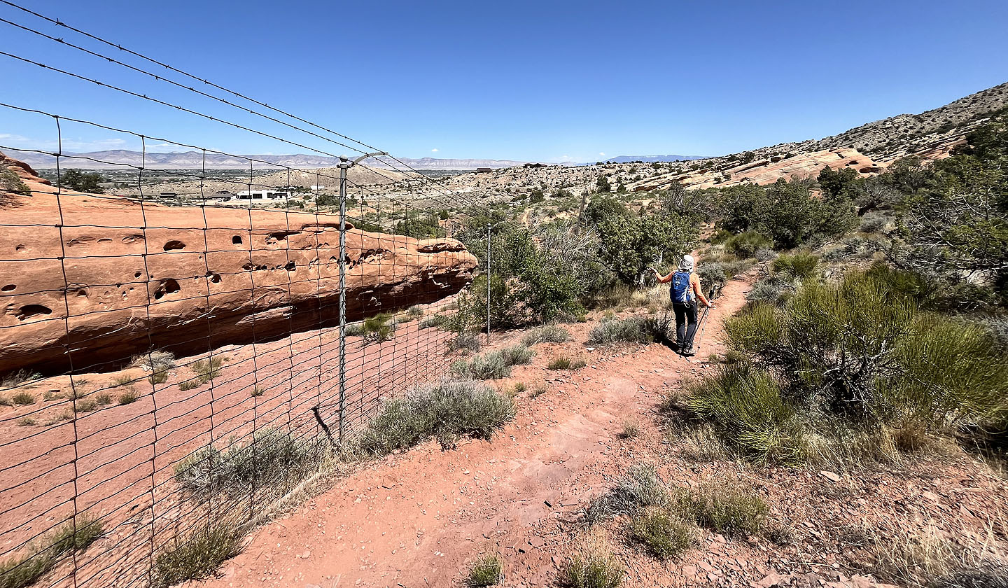
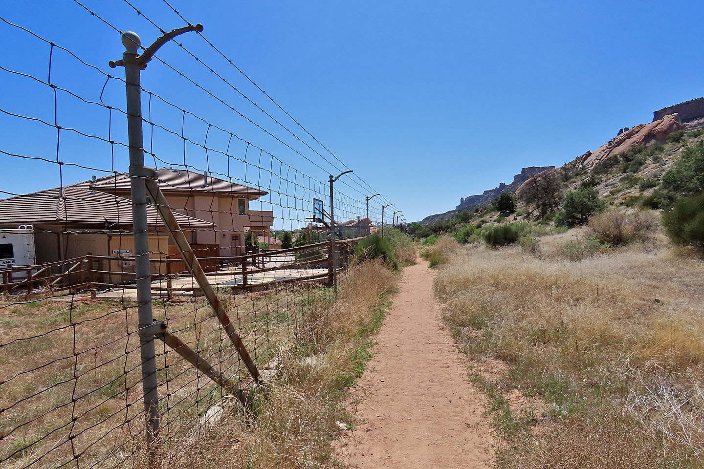 The trail runs alongside a fence for a long ways
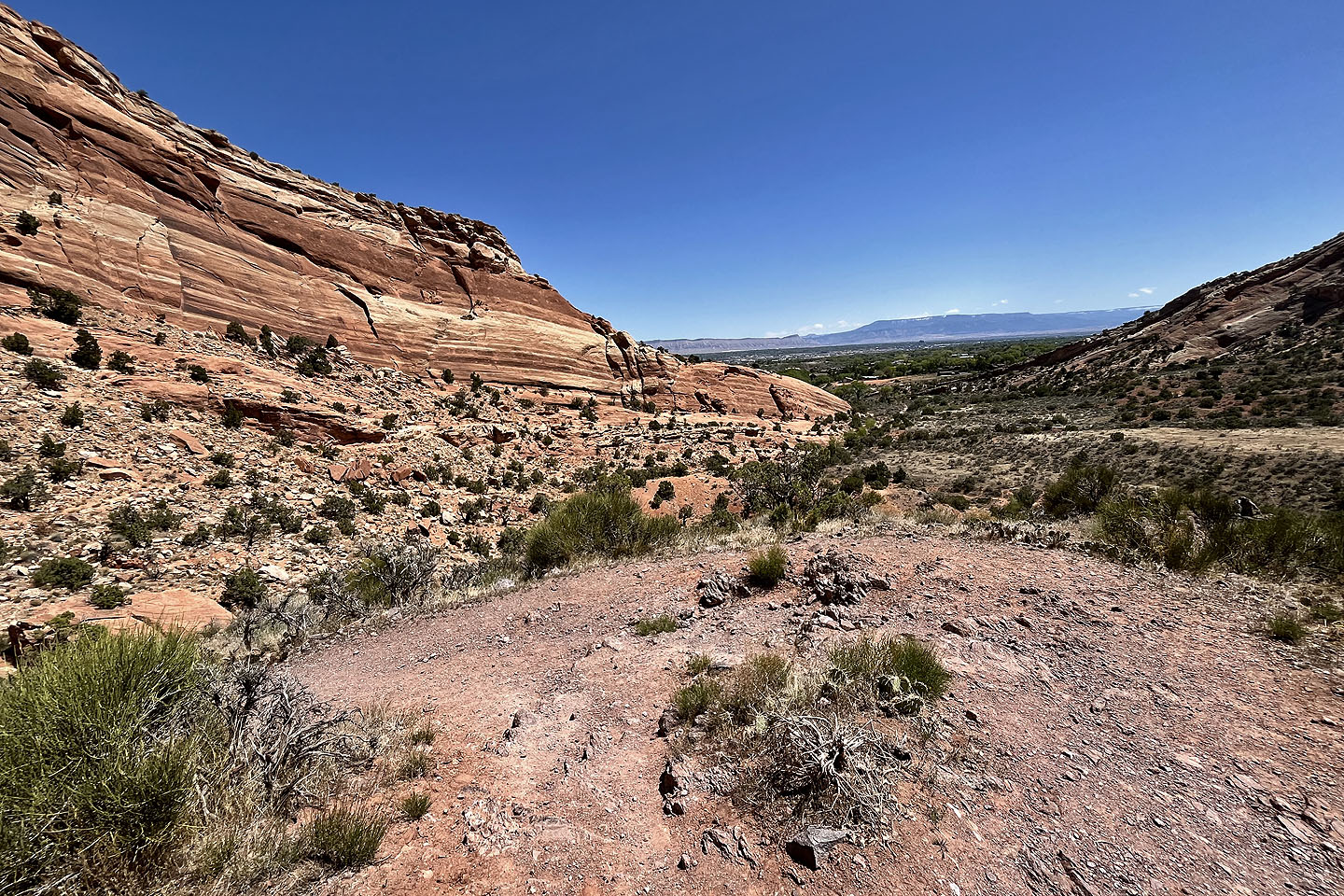
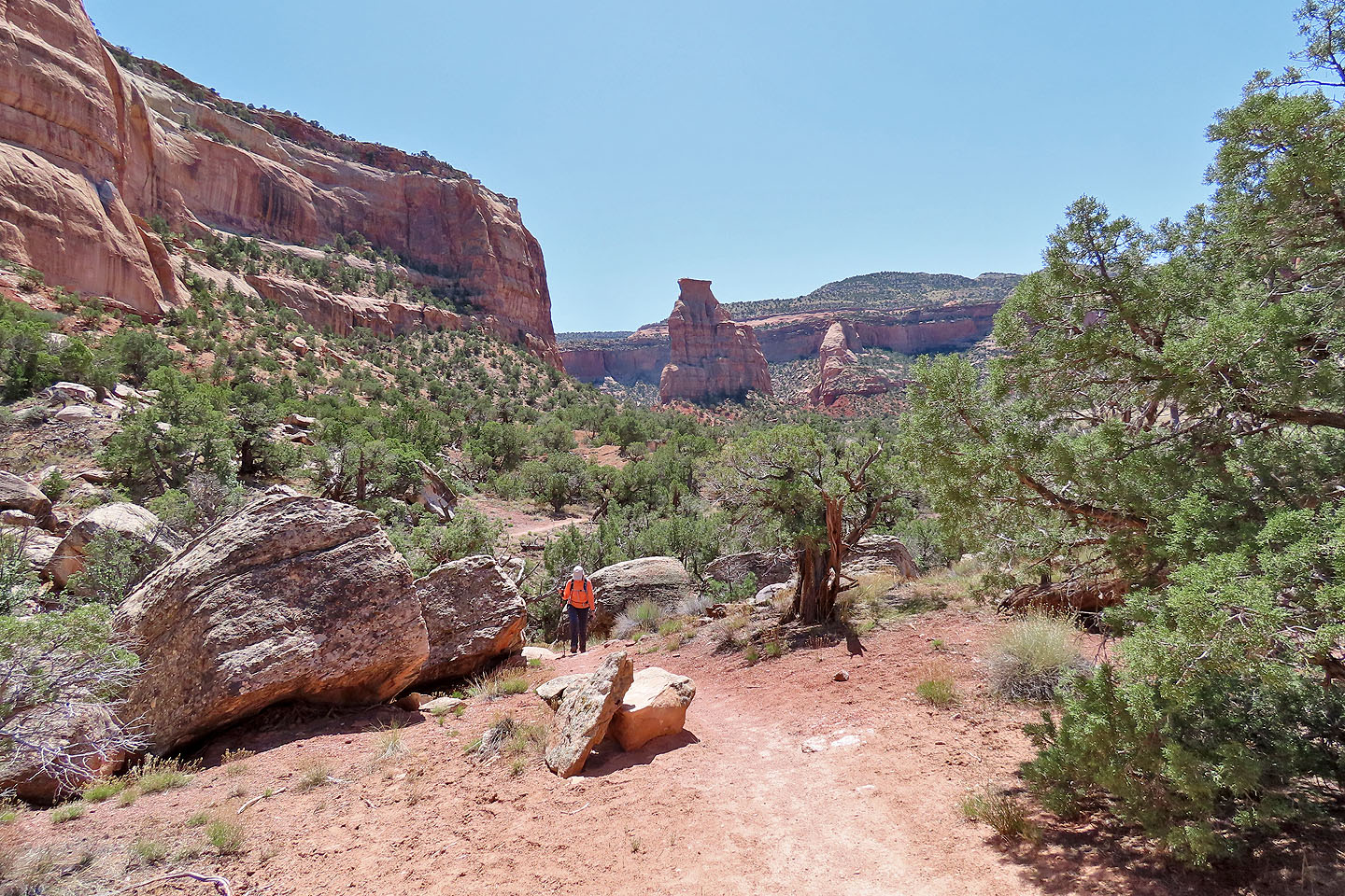
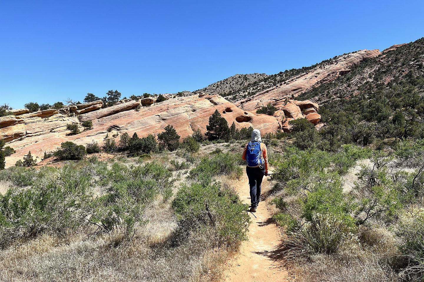
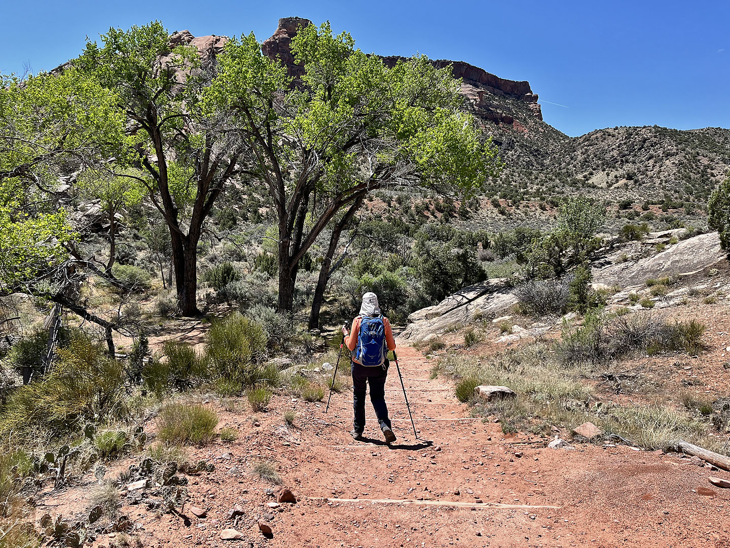 Finally the trail turns into Monument Canyon
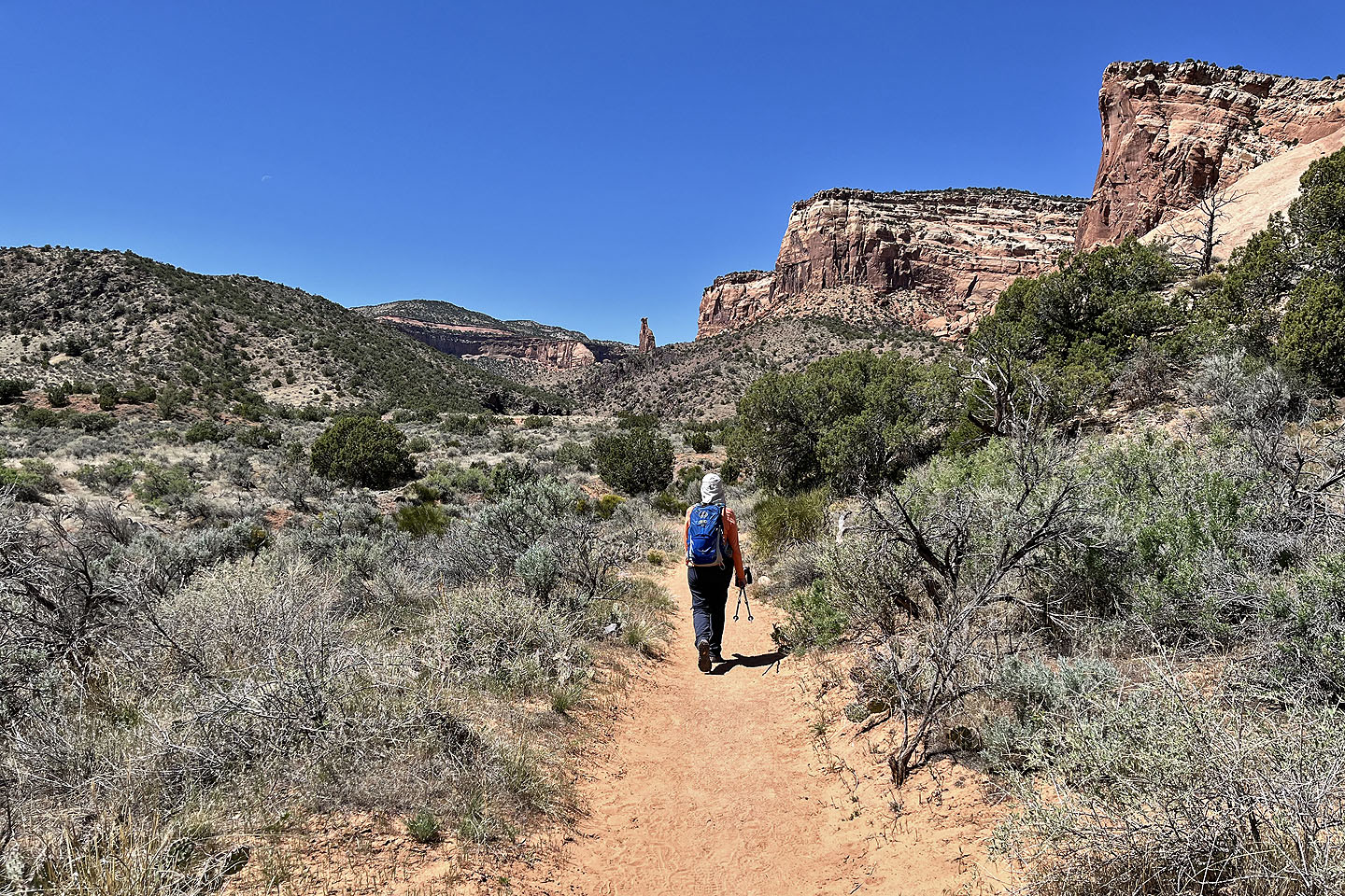 Independence Monument appears in the distance
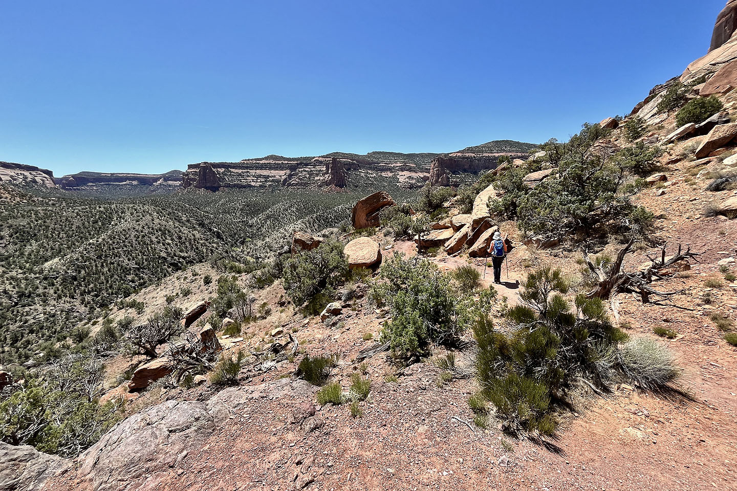
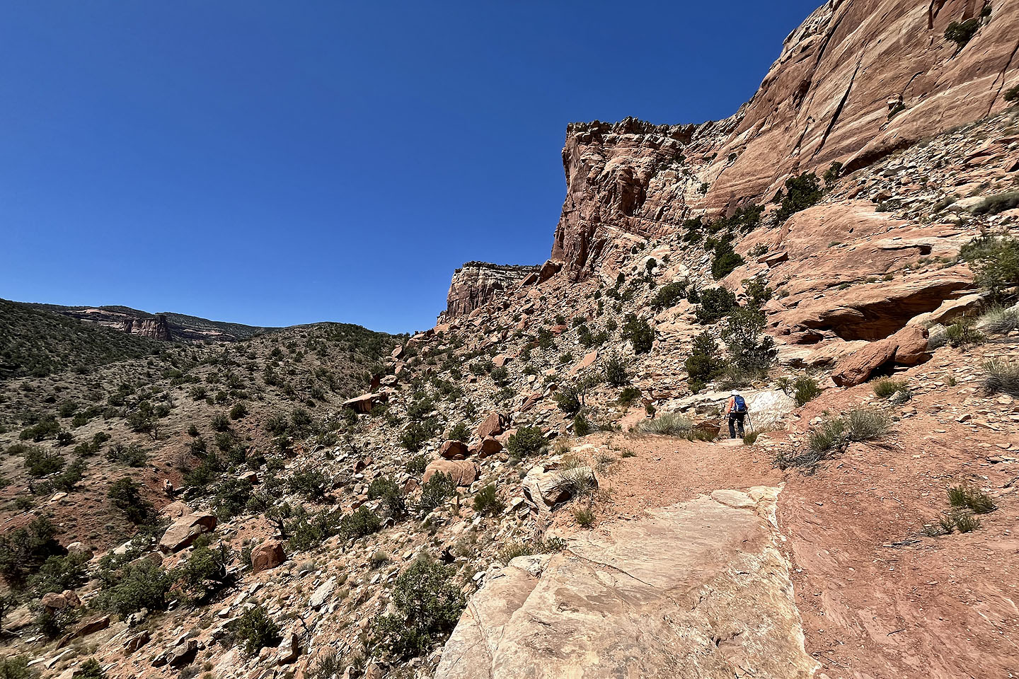 The trail climbs the right side of the canyon
 Looking back at the canyon entrance
One of two rock squirrels we saw feeding. I was about 8 feet away, close enough to hear it.
 The trail runs below the cliffs. We noticed hikers by the big tree in the centre (mouse over).
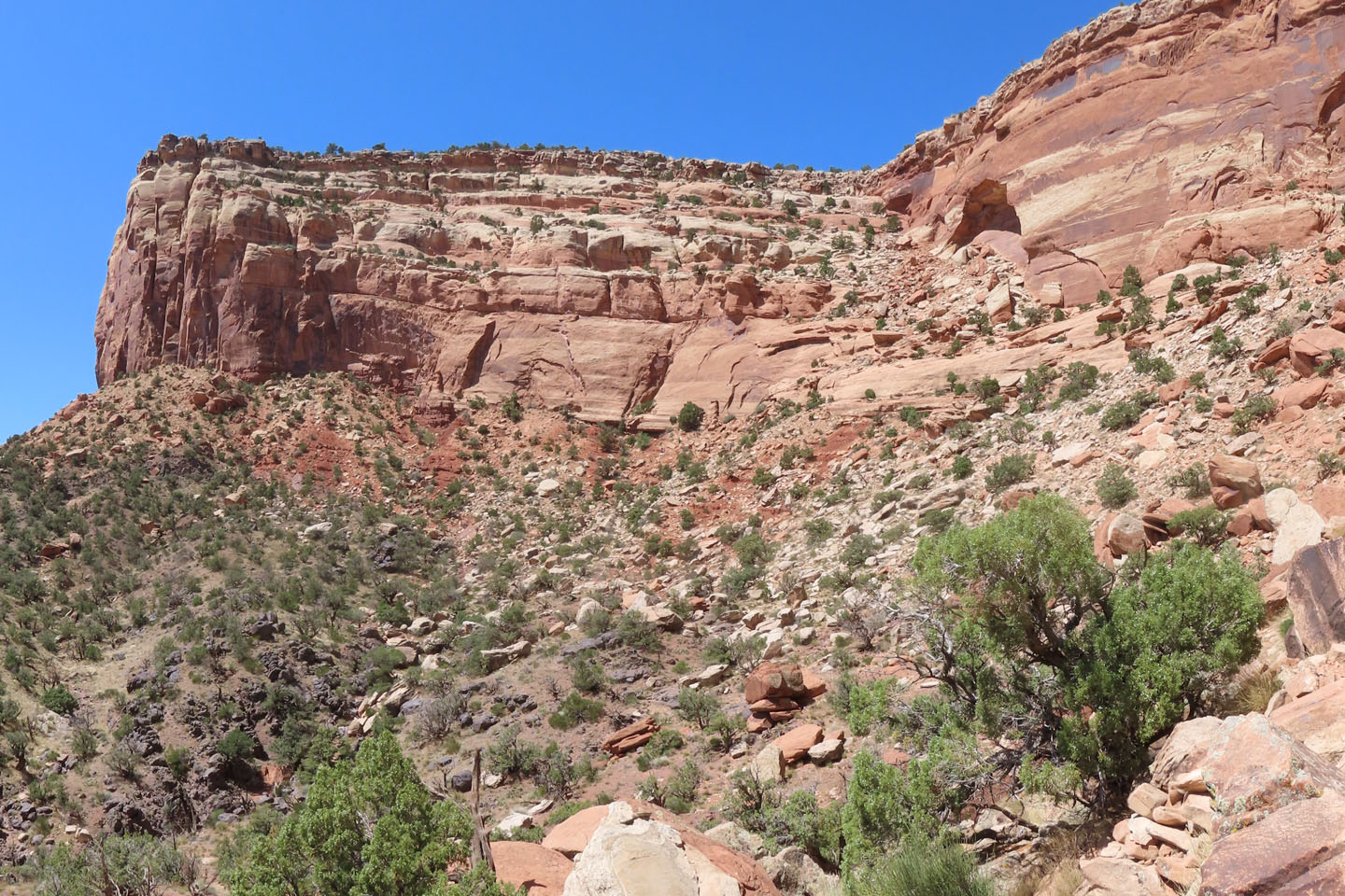
 Approaching the base of the cliffs
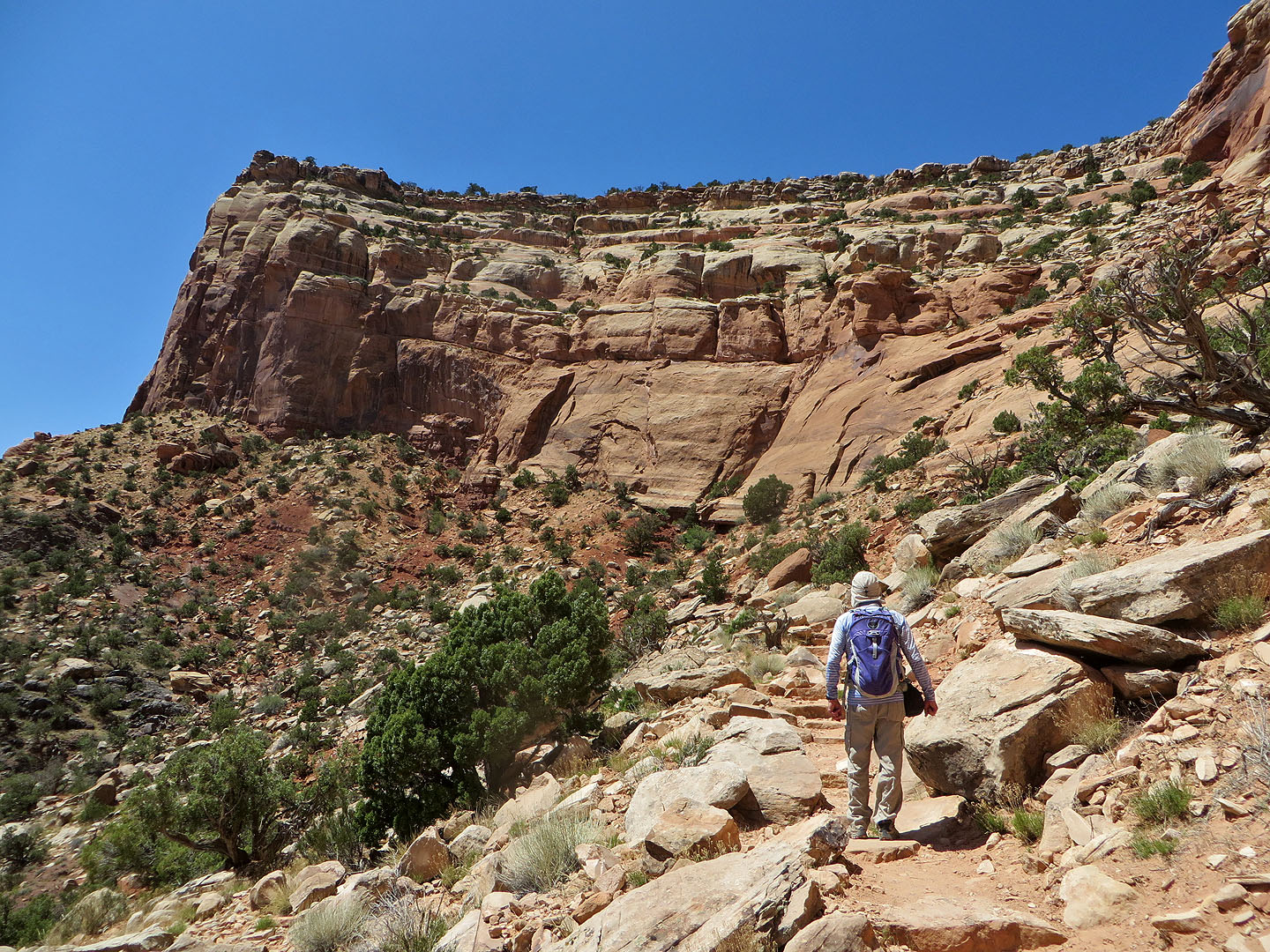
 Continuing up the trail
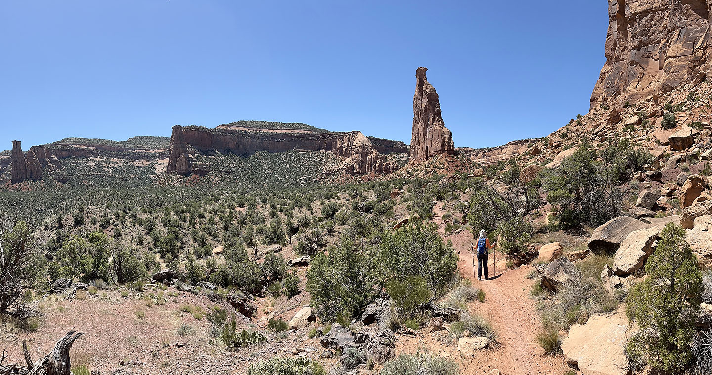 Independence Monument came into view
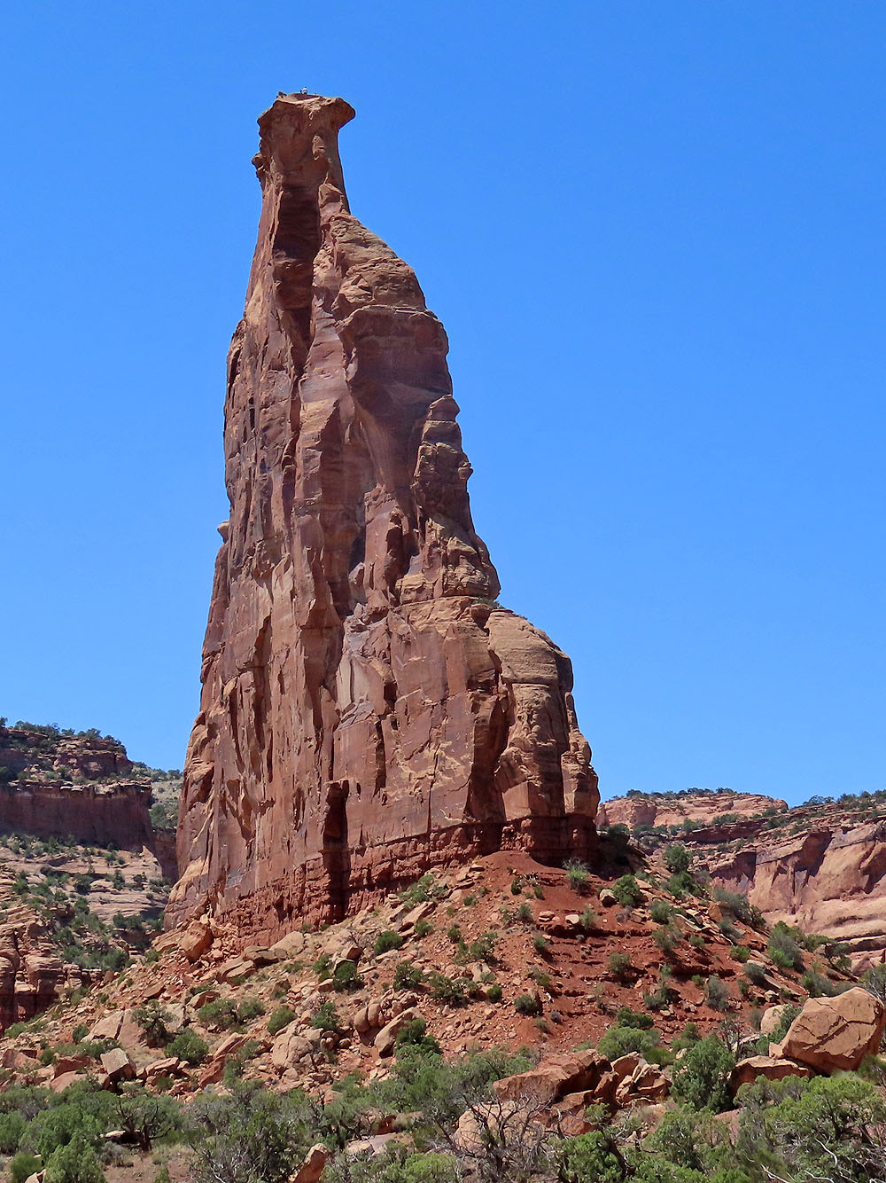
 We noticed people on the top of the pillar (mouse over)
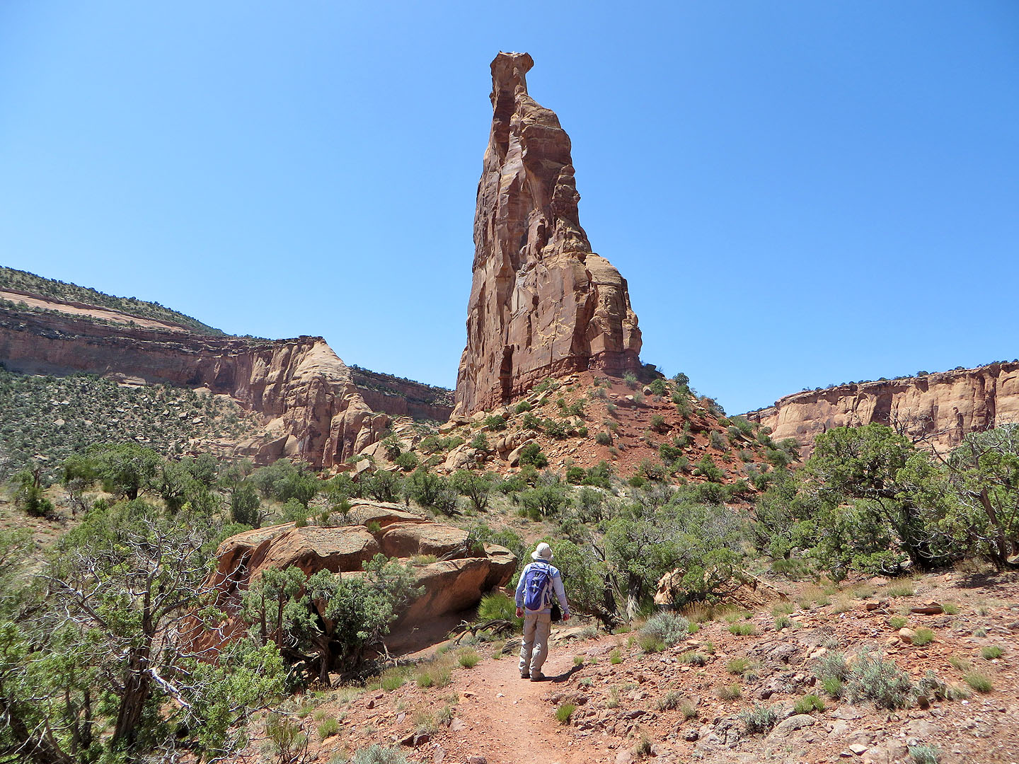
As close as we got to the pillar
 We turned the corner and continued down Wedding Canyon. Left is Window Rock (mouse over).
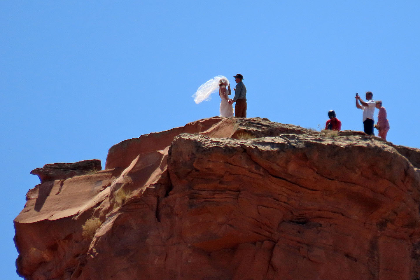 Looking back at Independence Monument where a wedding was taking place on top (mouse over)
 Looking back, the pillar appears far away now
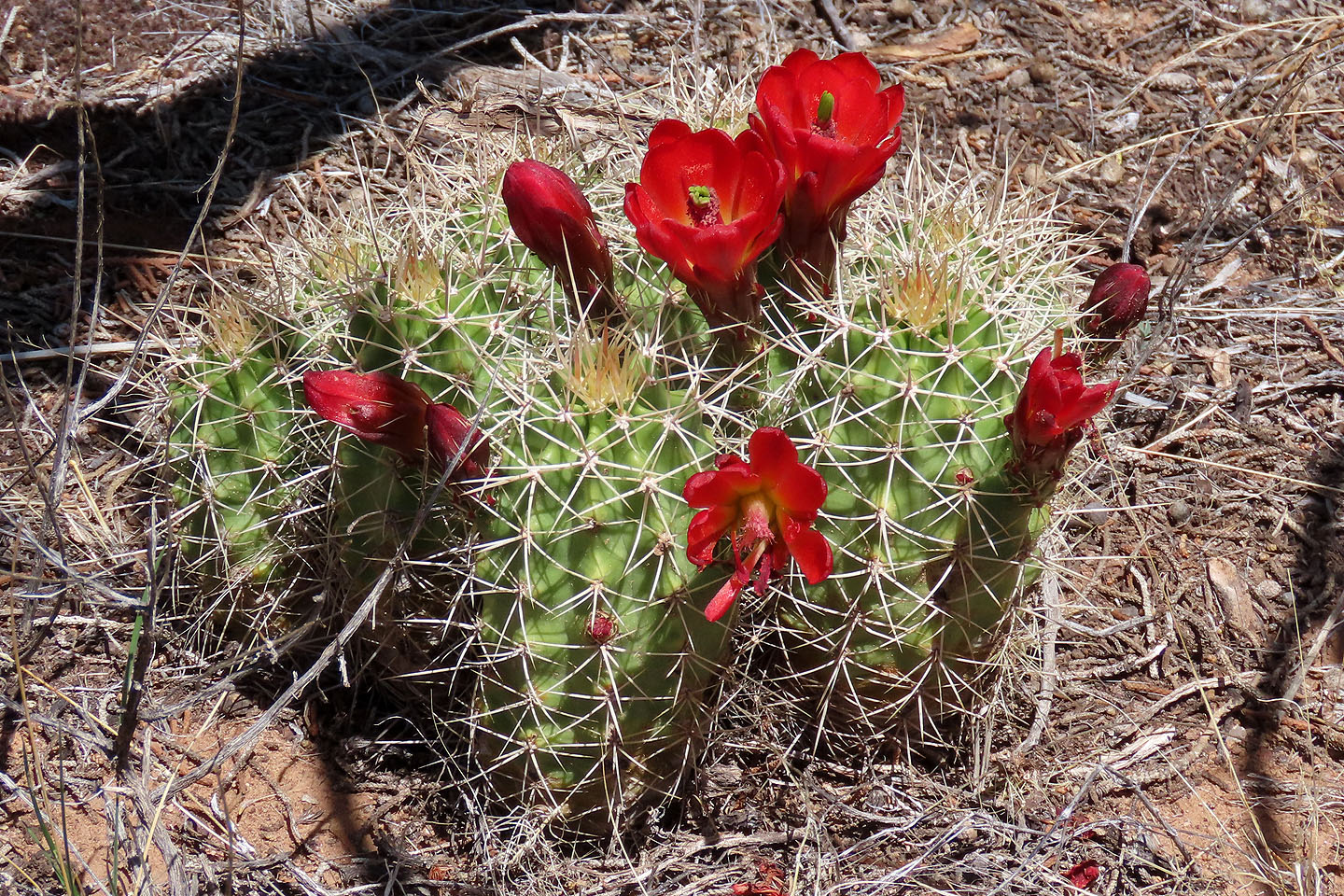 Kingcup cactus
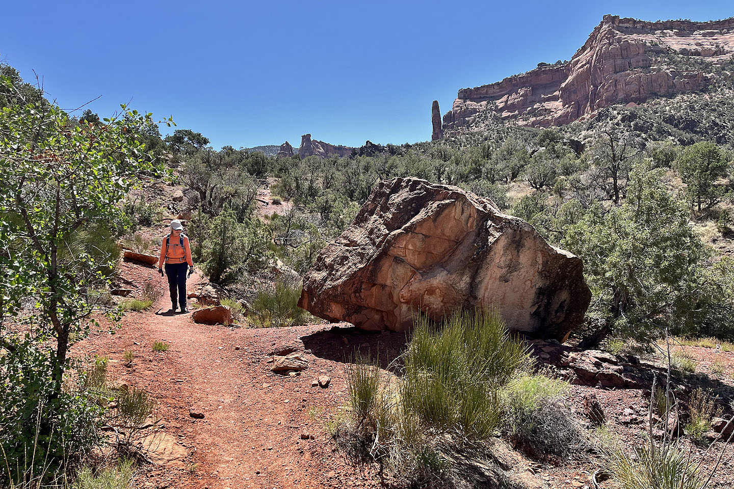
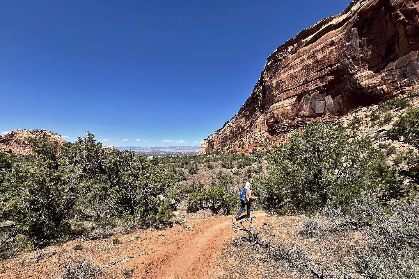 The trail keeps to the right side of the canyon
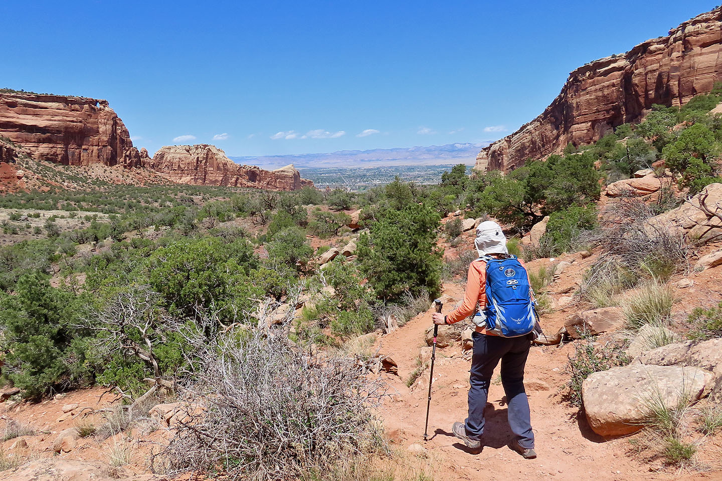
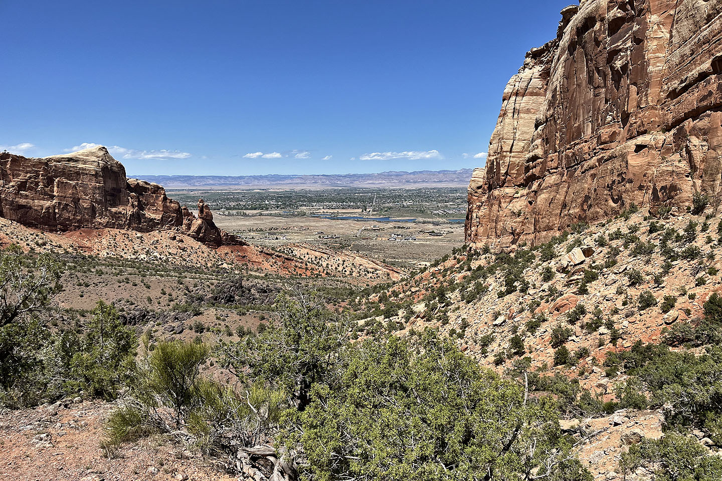 Colorado River appears in the centre next to the city of Fruita
 Wedding Canyon has more trees and wasn't as scenic as Monument Canyon
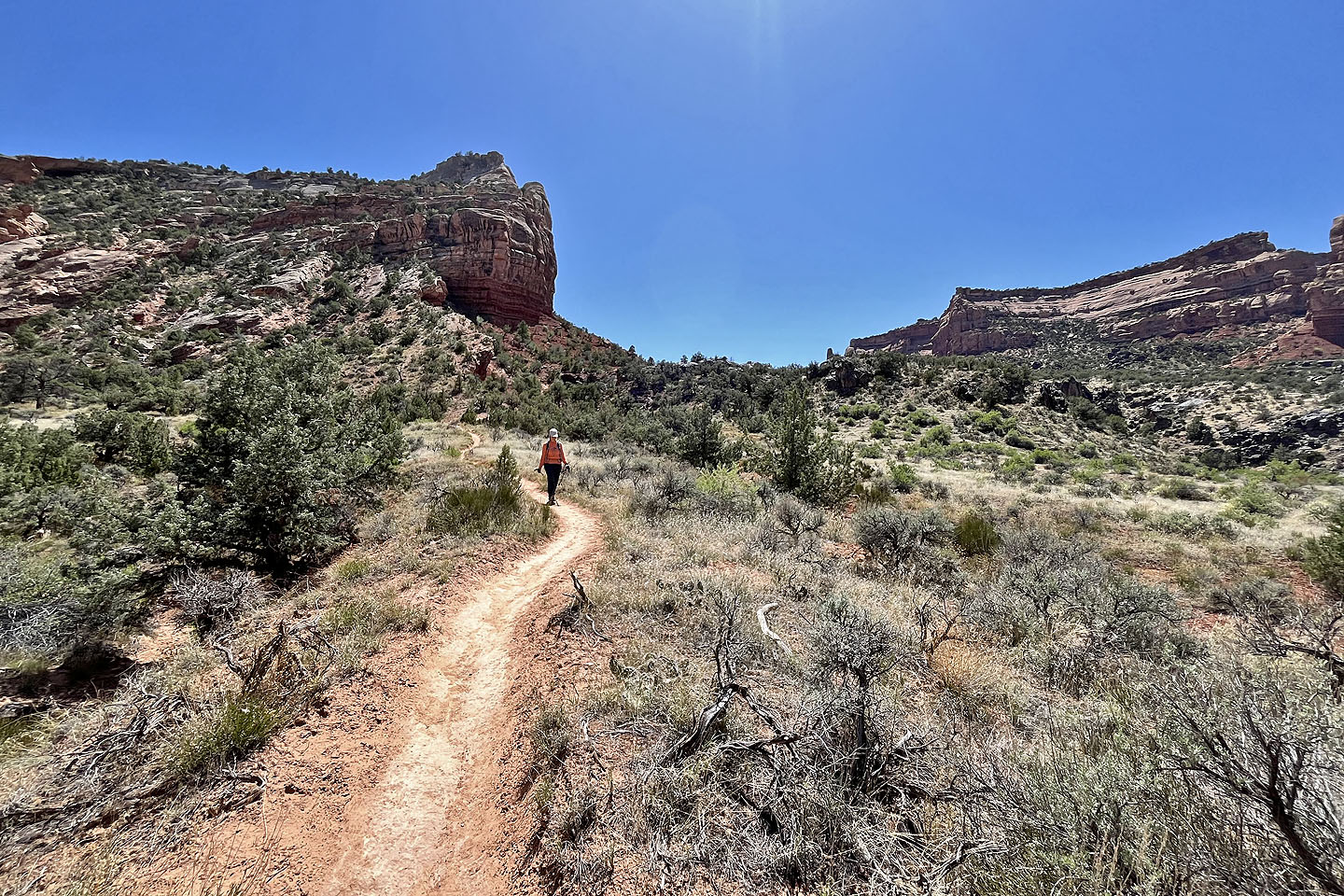 Exiting the canyon
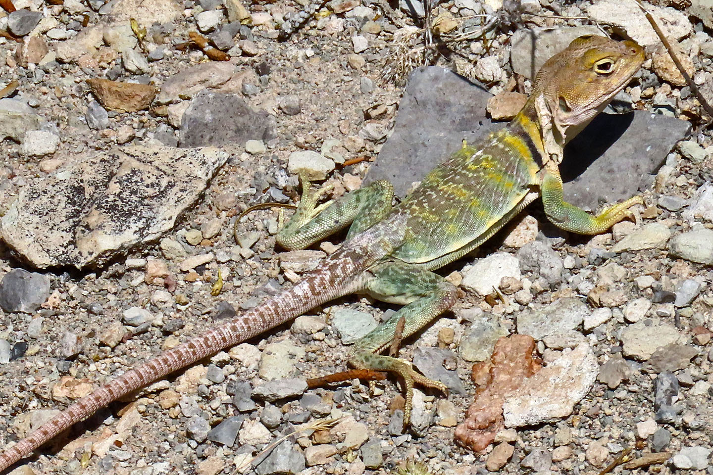 We were hoping to see a male eastern collared lizard, but only saw a female which are less colouful (mouse over to see its full length). Two days later on Eagle's Wing, we spotted two males.
 We passed alongside another fence
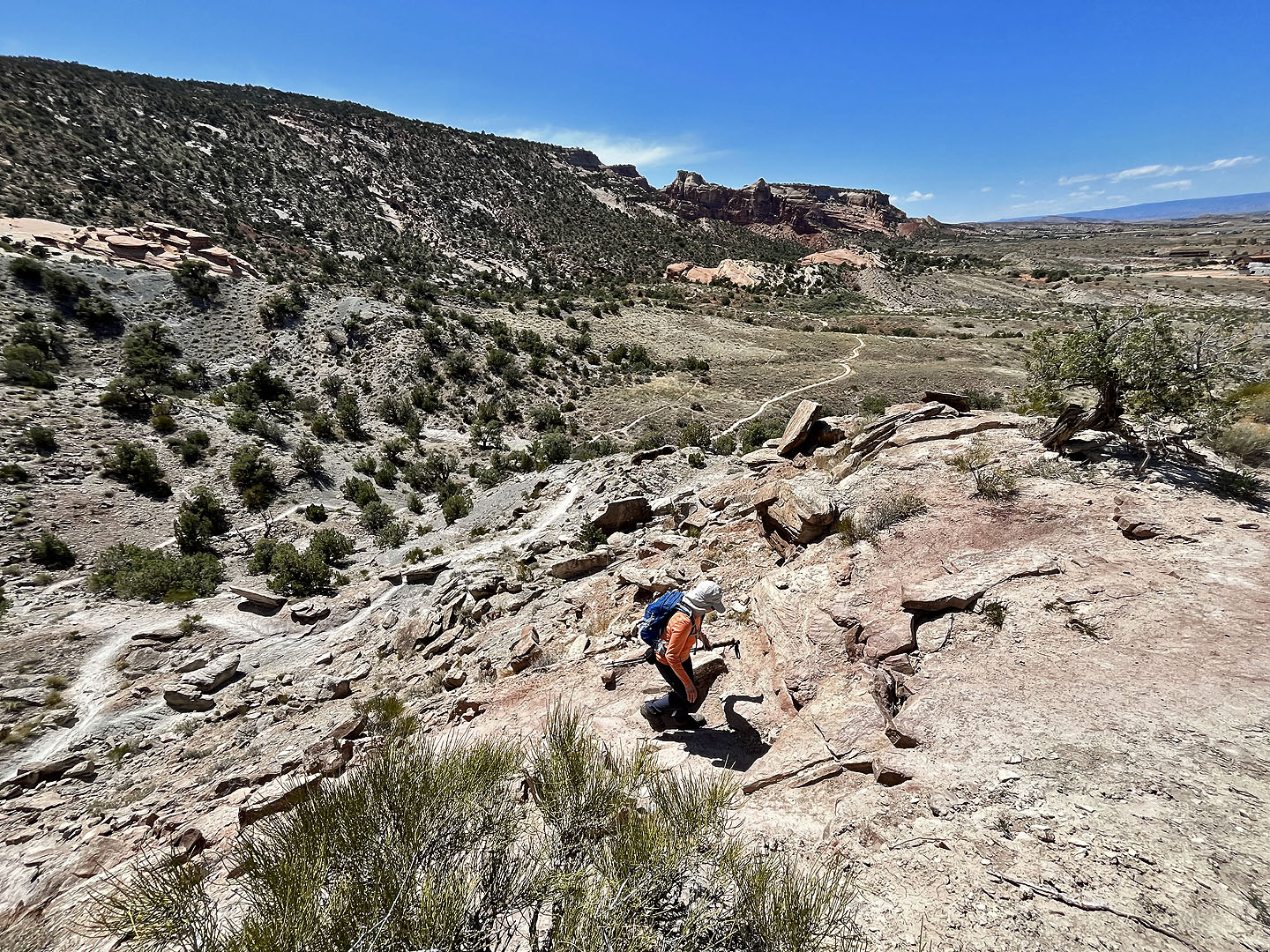
 The trail skirts the right side of the sandstone ridge ahead and then climbs the ridge beyond it
 Looking back at the trail from the ridge
Colorado National Monument (5.0 mi, 5476 ft, 587 ft)