bobspirko.ca | Home | Canada Trips | US Trips | Hiking | Snowshoeing | MAP | About
Quail Mountain
Joshua Tree National Park, California
February 9, 2025
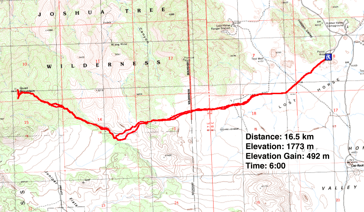
Distance: 16.5 km (10.3 mi)
Cumulative Elevation Gain: 572 m (1877 ft)
There are easier and more interesting peaks to climb in Joshua Tree National Park than Quail Mountain, but none are higher. It's not a short hike. The quickest route I found starts at Hidden Valley and follows a trail for 2 km before crossing desert flats and running over low ridges. It then follows a wash before ascending the east ridge to the summit.
We used a track I found on Peakbagger.com. It served well enough although it's easy to deviate while navigating the terrain between the trail and the wash. There are no landmarks as it crosses a featureless desert and runs over nondescript ridges.
From the east end of the Hidden Valley parking lot, Dinah and I followed the Hoyt Minerva Trail through Joshua trees. The trail ends at the edge of private property, and we started walking across the desert.
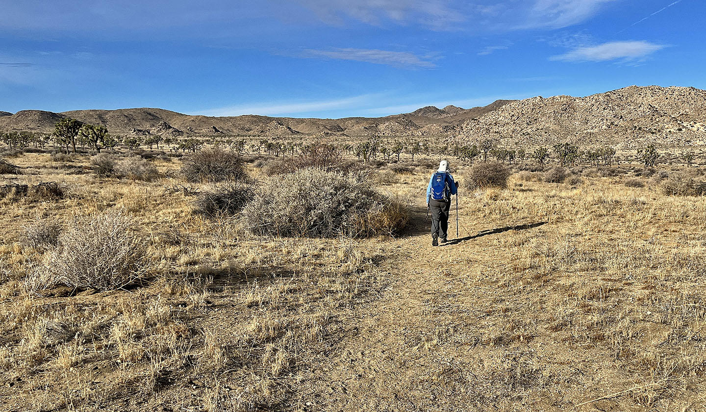
We hiked west 2.5 km to the low ridges. We had no difficulty going directly over the ridges, although on the last ridge, it’s more practical to keep low and take a wide left turn to reach the wash earlier. Once in the wash, the rest of the ascent was straightforward. We followed the scenic wash to the beginning of the east ridge of Quail and started climbing.
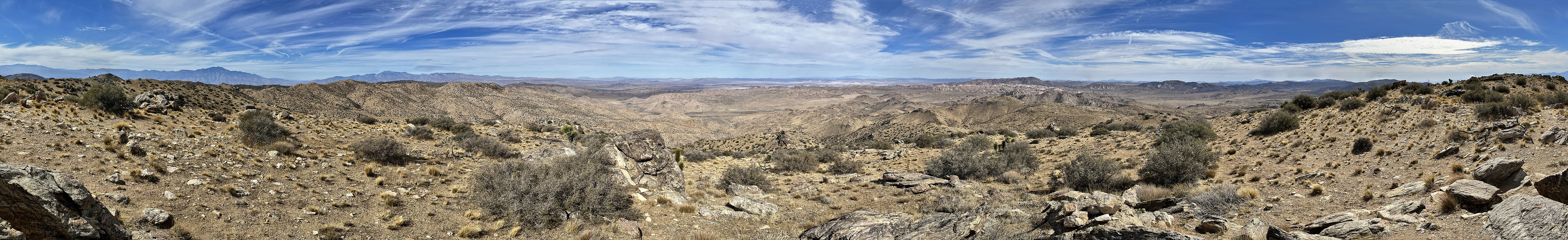
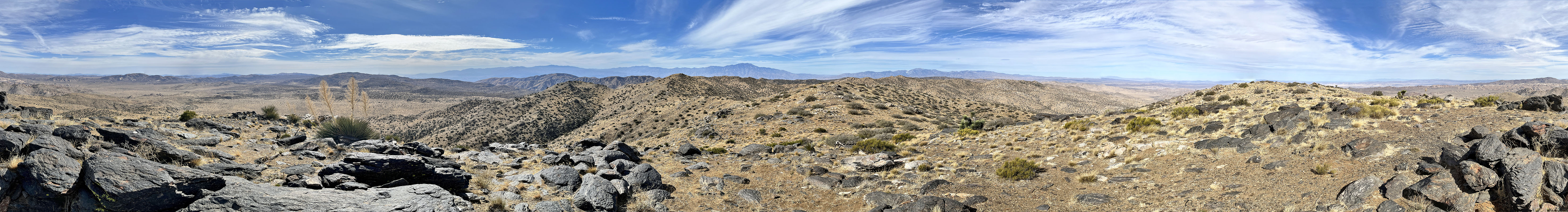
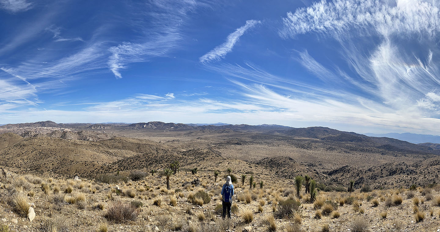
It's a long ascent, but there was much to enjoy. We passed desert plants and watched the scenery around us unfold as we climbed. Just before the summit we caught a trail and followed it to the black rocks topping the South Summit. We took photos and signed the register before walking to the North Summit 180 m away. The summits are equally high, but the North Summit is the official top. We had fine weather, and the far-ranging views included Queen Mountain and Ryan Mountain as well as Mount San Jacinto 45 km away. We spent 45 minutes on the summit ridge before starting back.
We retraced our steps, except we stayed in the wash longer and took a wider turn over the intervening low ridge. Like on the way in, we used GPS to navigate across the desert flats; we saw no landmarks to guide us to the dirt road. The final stretch on the trail through the Joshua trees was a pleasant way to finish our hike up Quail Mountain.
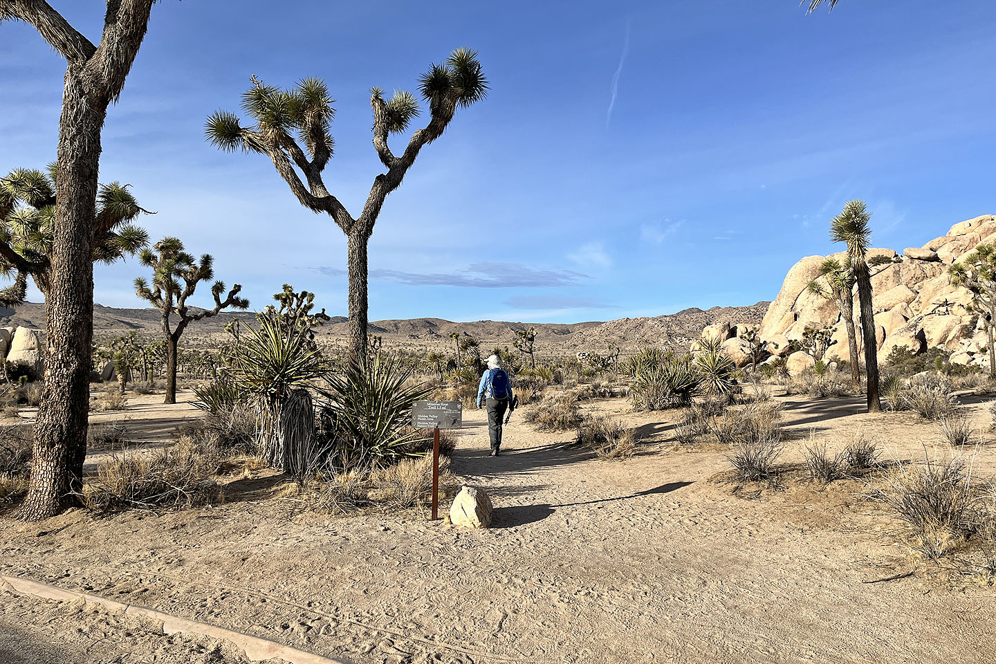 Starting on Minerva Hoyt Trail
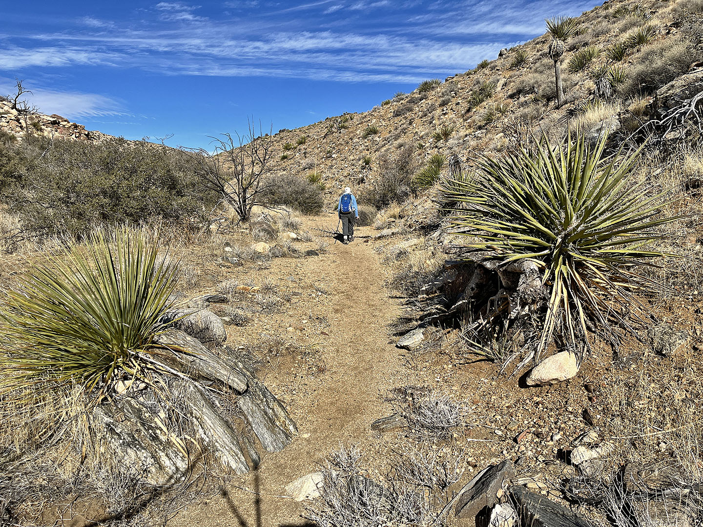
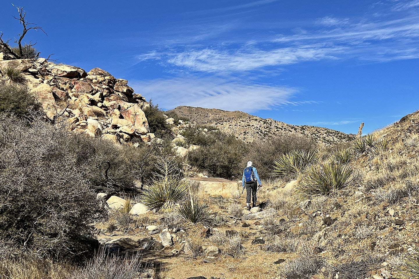
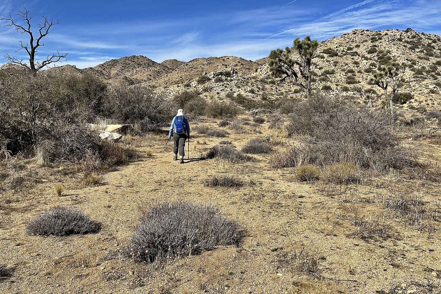
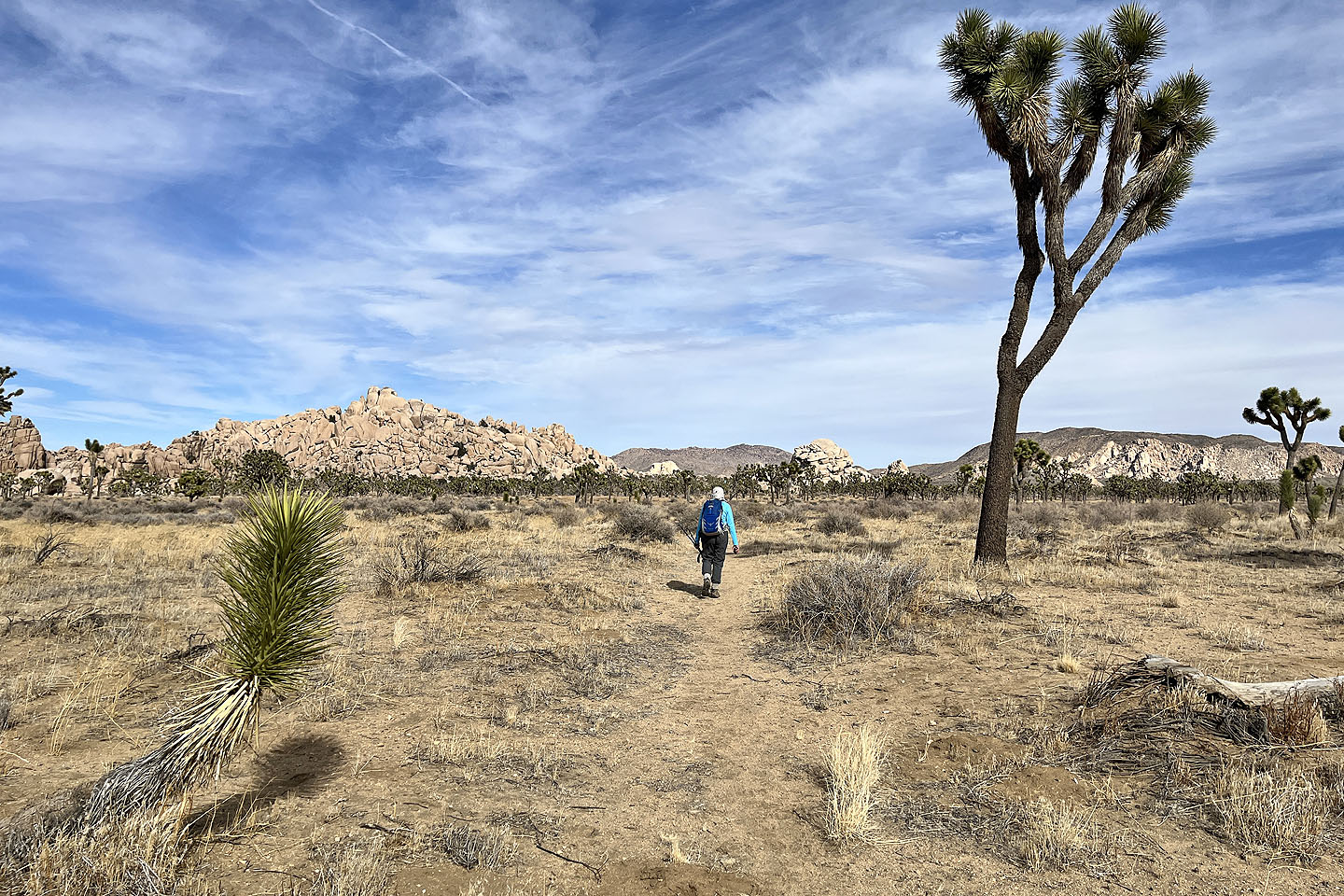
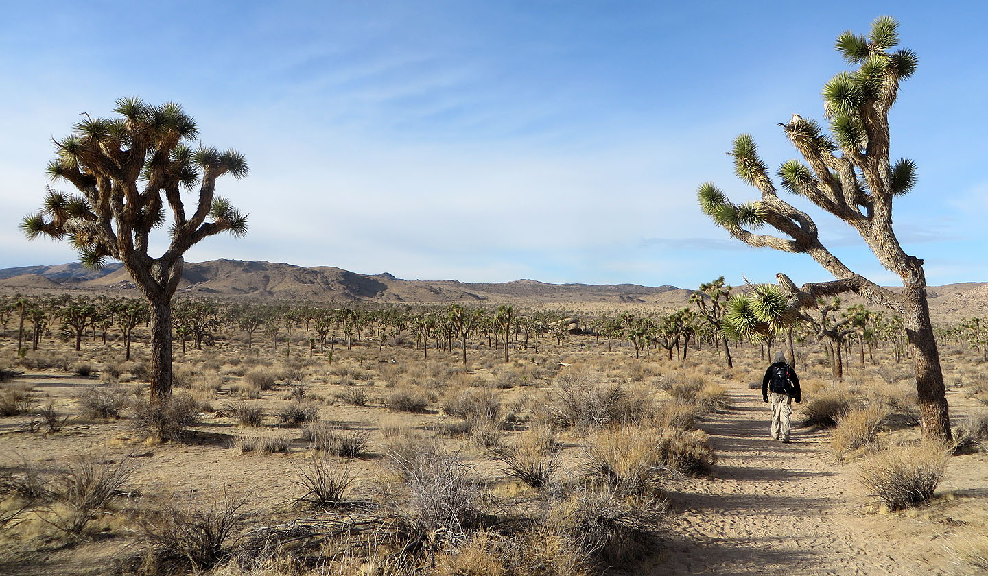 The trail passes through Joshua trees
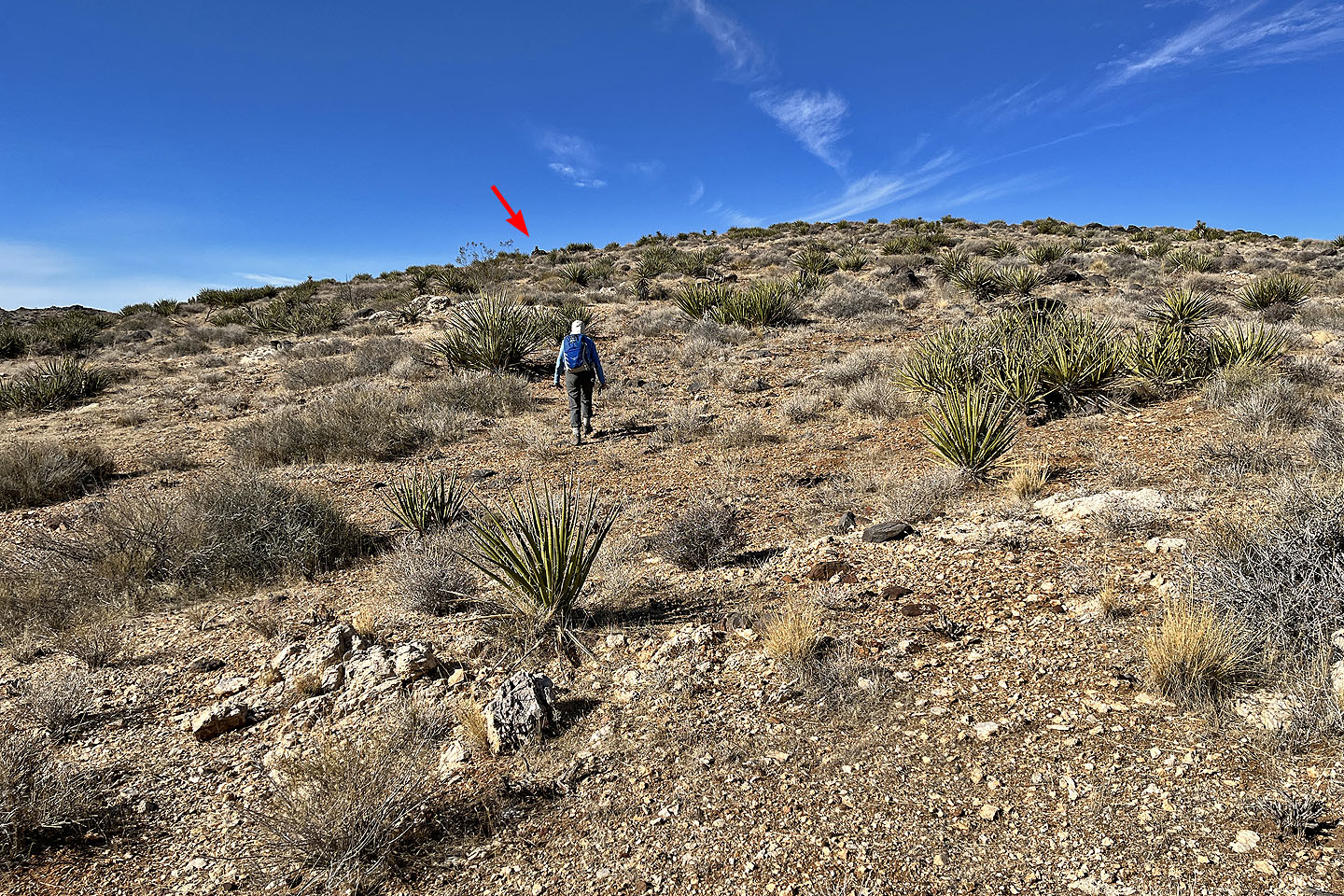
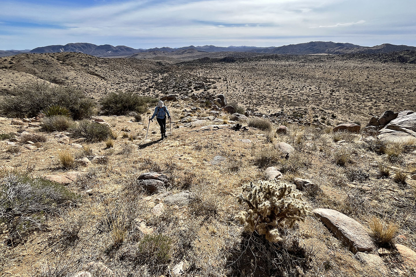
 Our route led to the low ridges in the centre
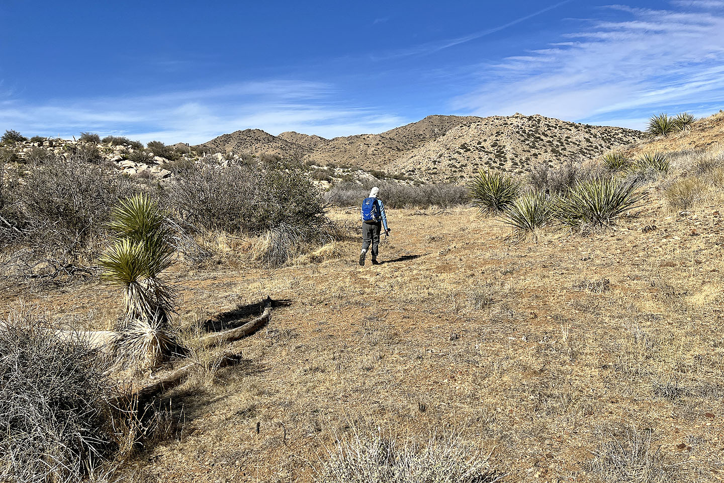
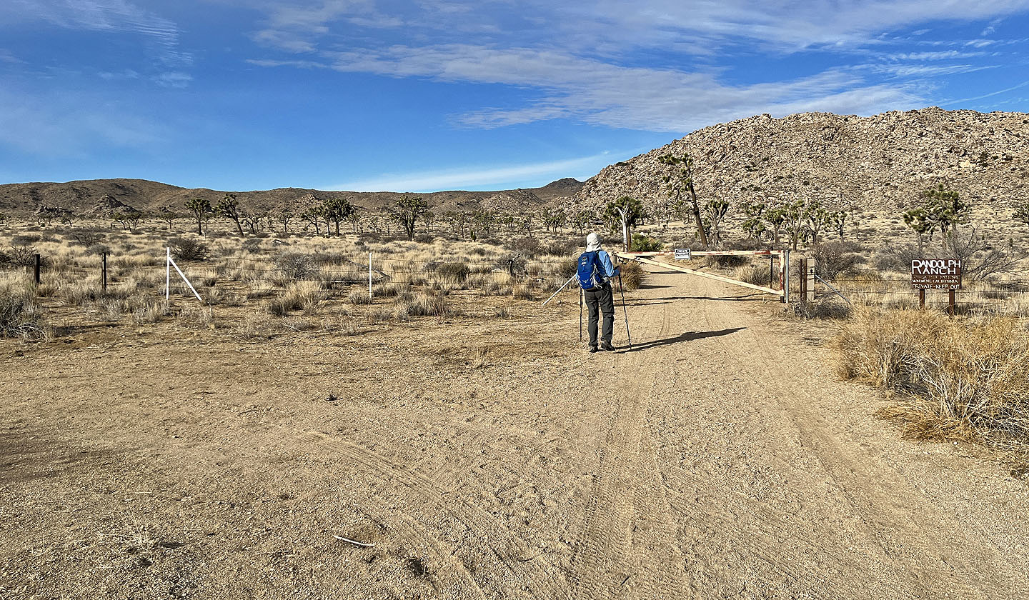 After briefly following a road, we came to a gate: Private Property, Keep Out. We went around the left end of the fence and started across the desert.
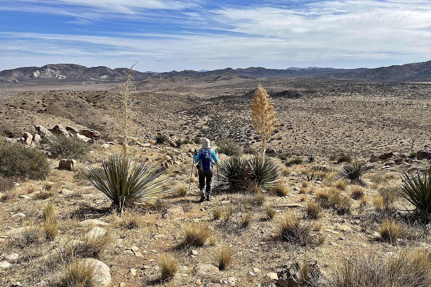
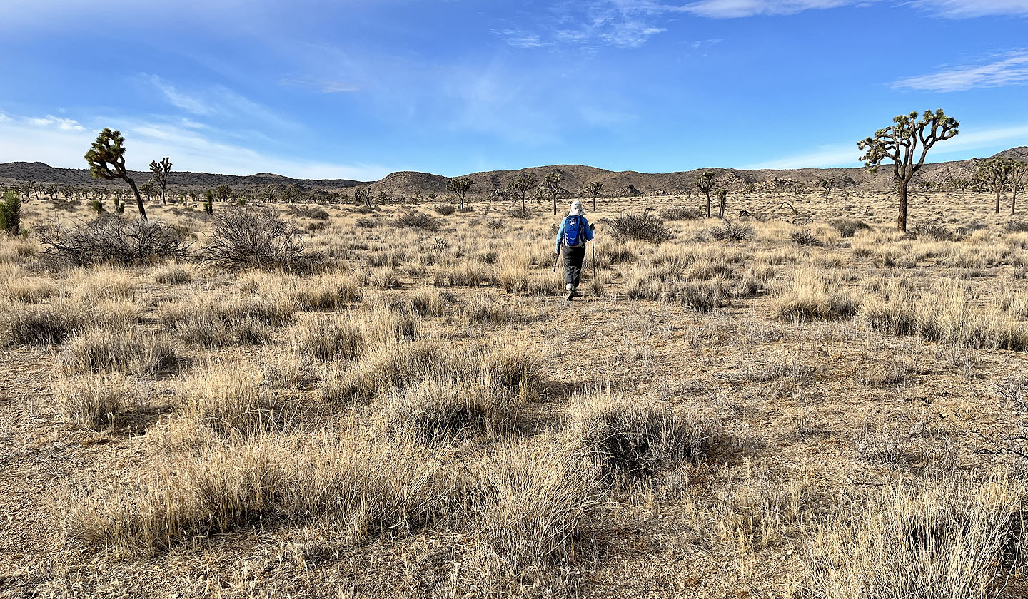 We headed to the ridges ahead
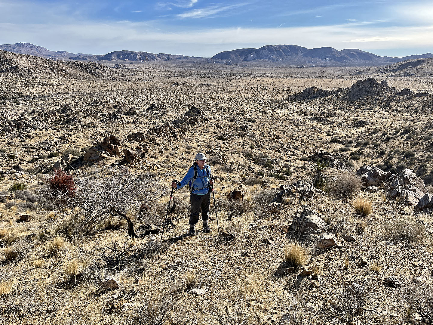
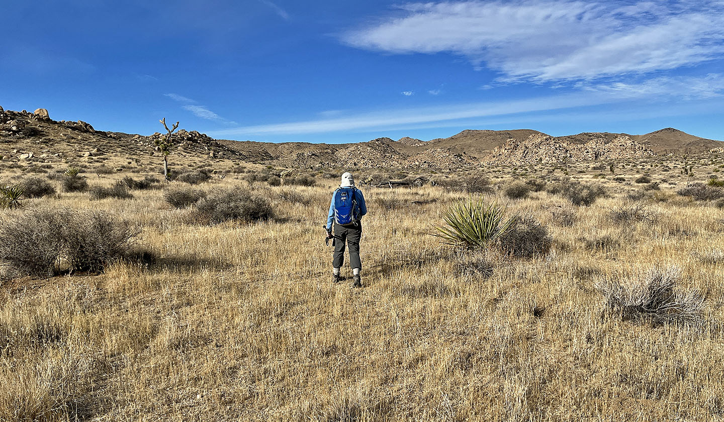 The ridges still appear far away
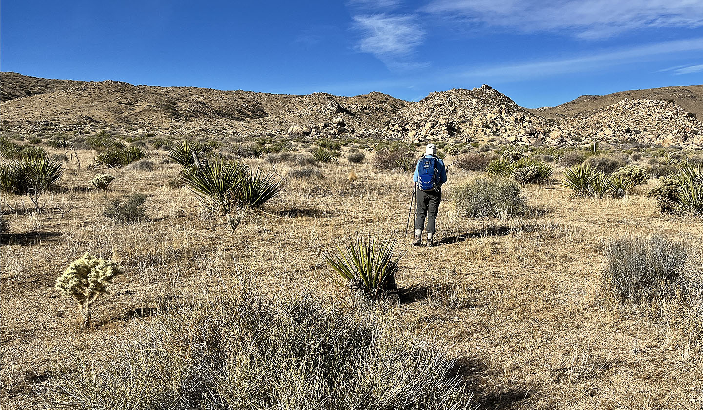 We went left of the little rock pile ahead
 We went to the ridge ahead
 Looking back as we started up the right side of the ridge
 On the ridge looking back. Ryan Mountain is on the right.
 After the first ridge, the route bends left
 We aimed for a cairn on the last ridge, but it's probably best to ignore it and kept left and well below it
 On the last ridge before we dropped into the wash. Quail Mountain is on the right.
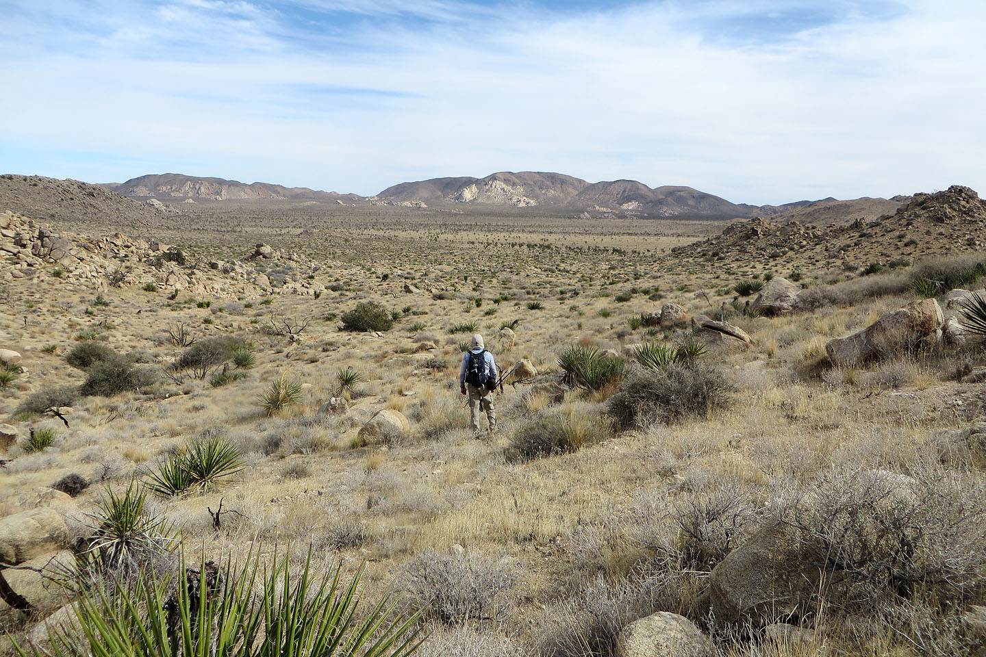
 Going down into the wash
 We started up the wash
 We took a break at a flat boulder that served as a table. Quail Mountain appears ahead.
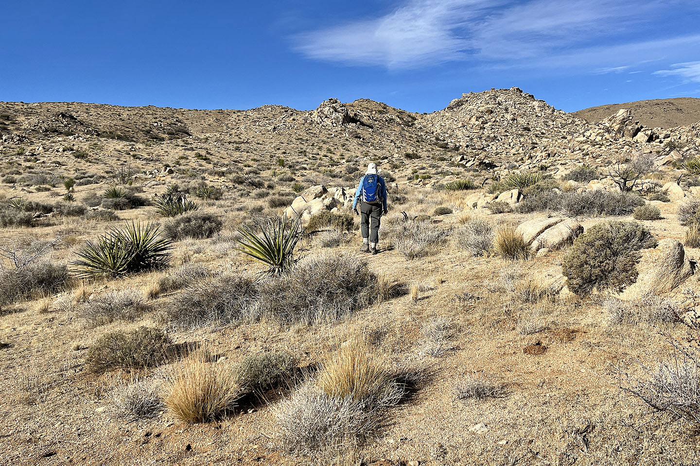
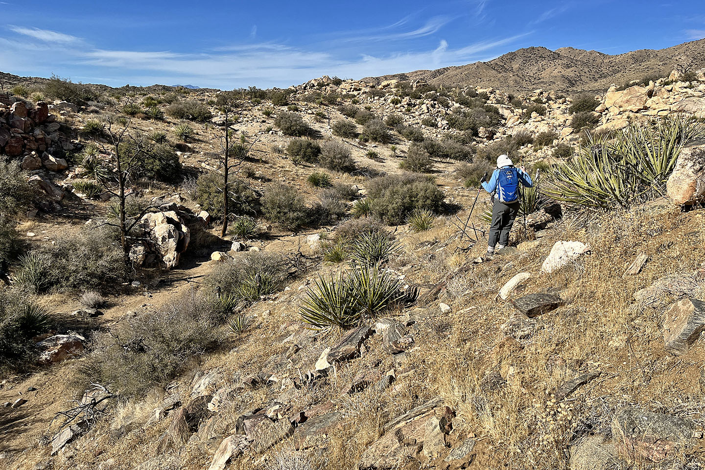
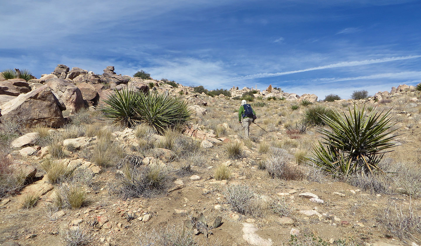
 We made our way to the end of the ridge
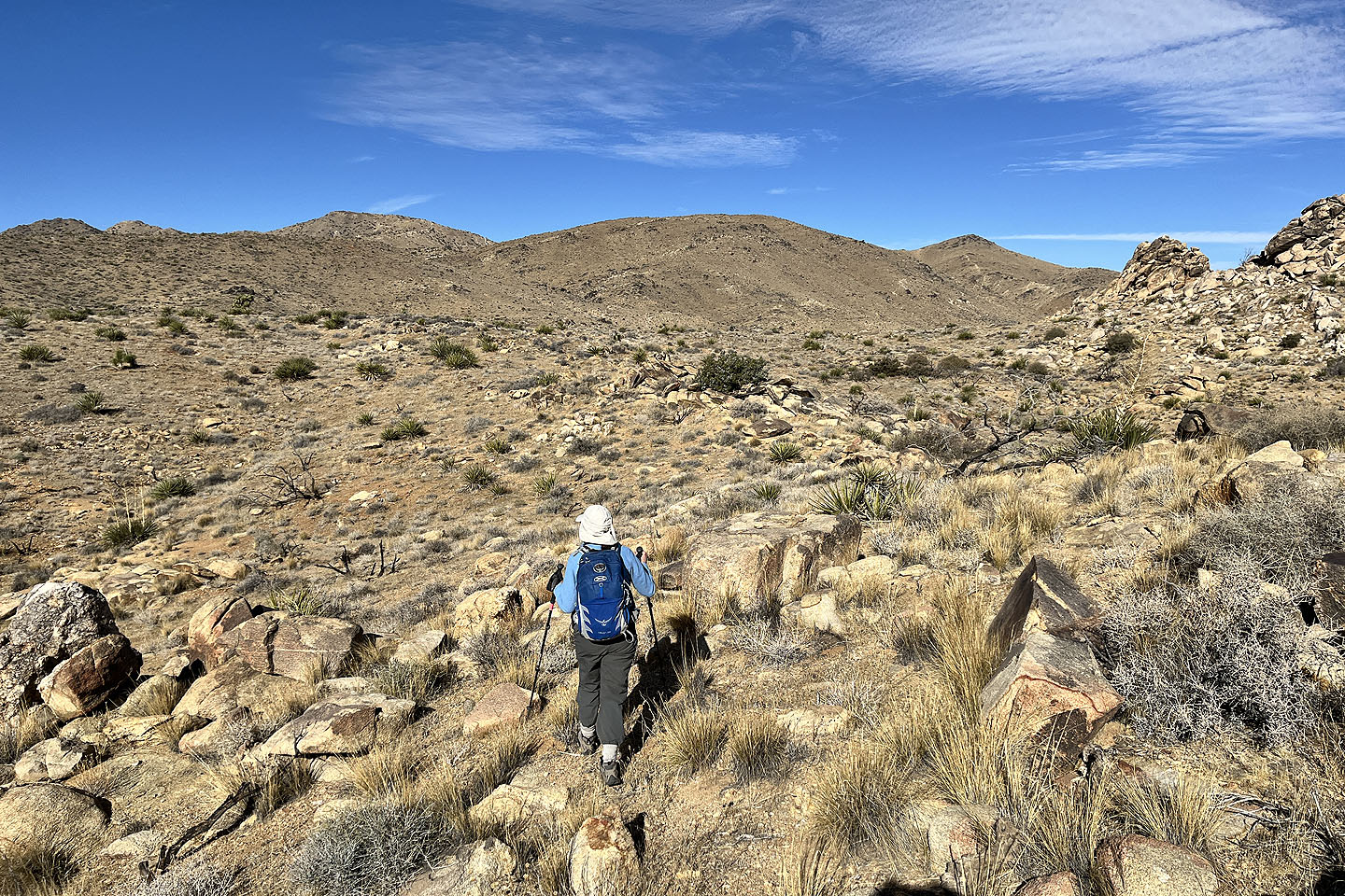
 We'll soon start up the ridge
 Looking back as we climbed the ridge
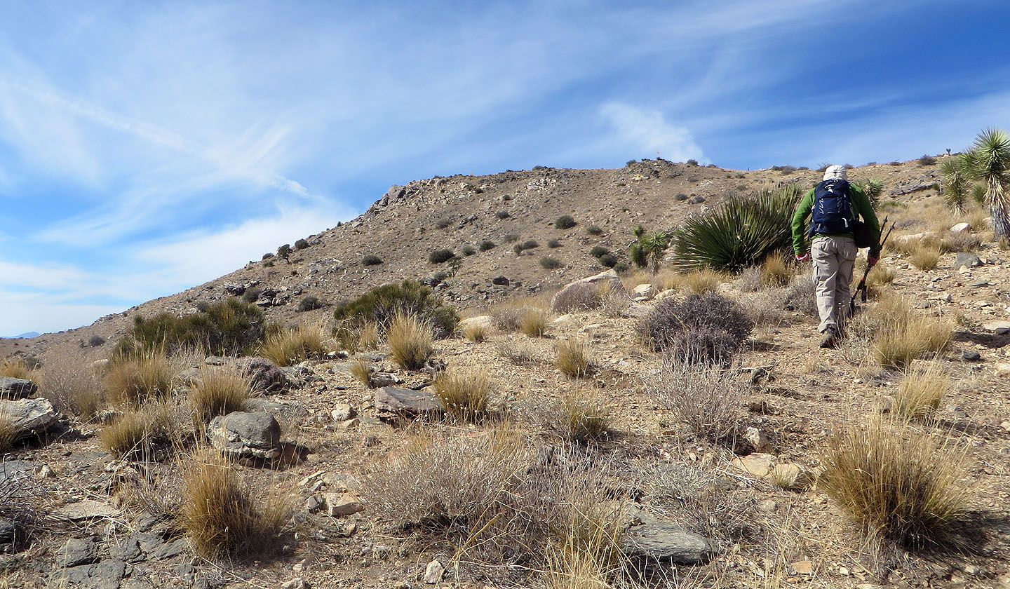
 Continuing up the ridge
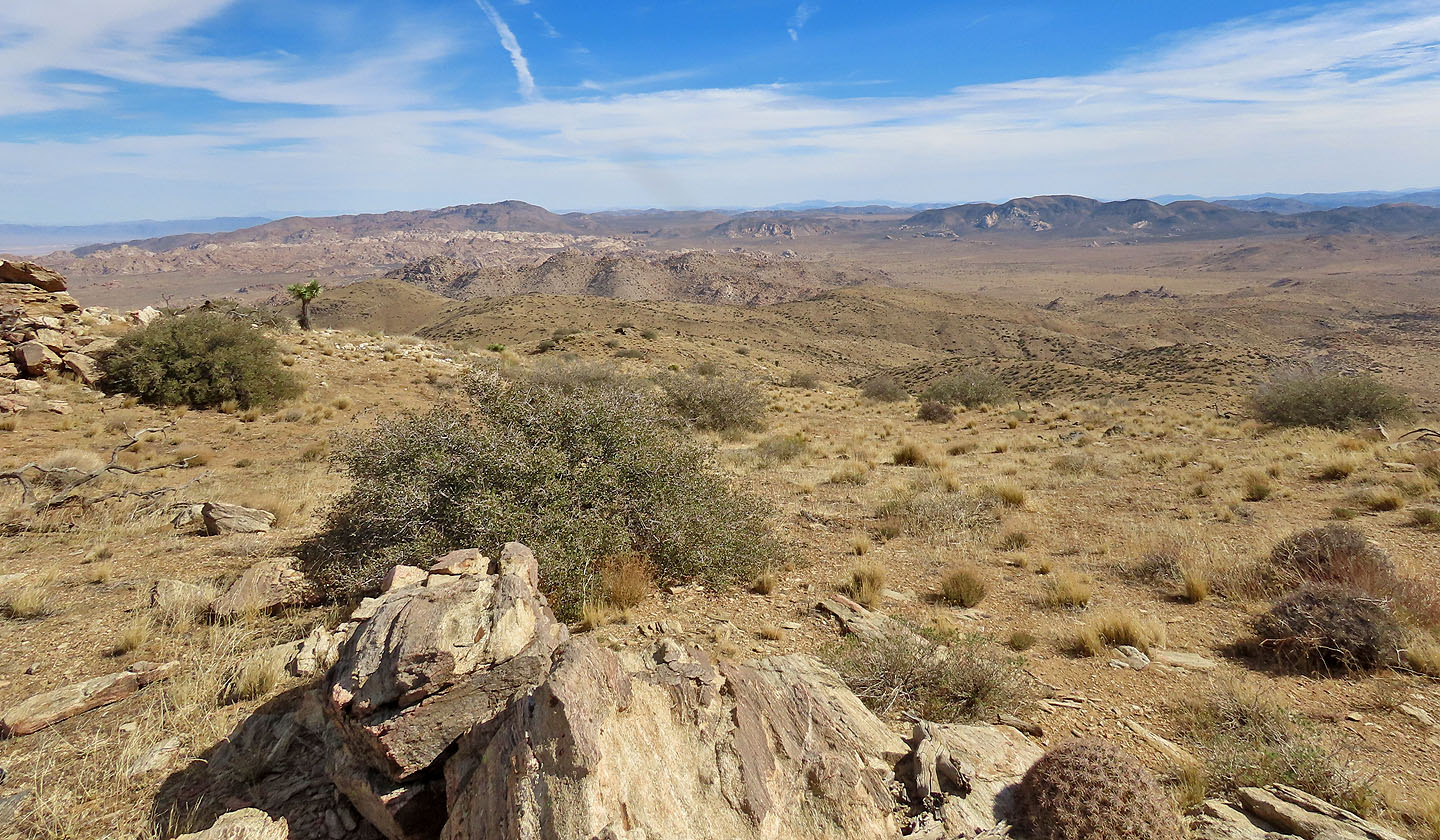
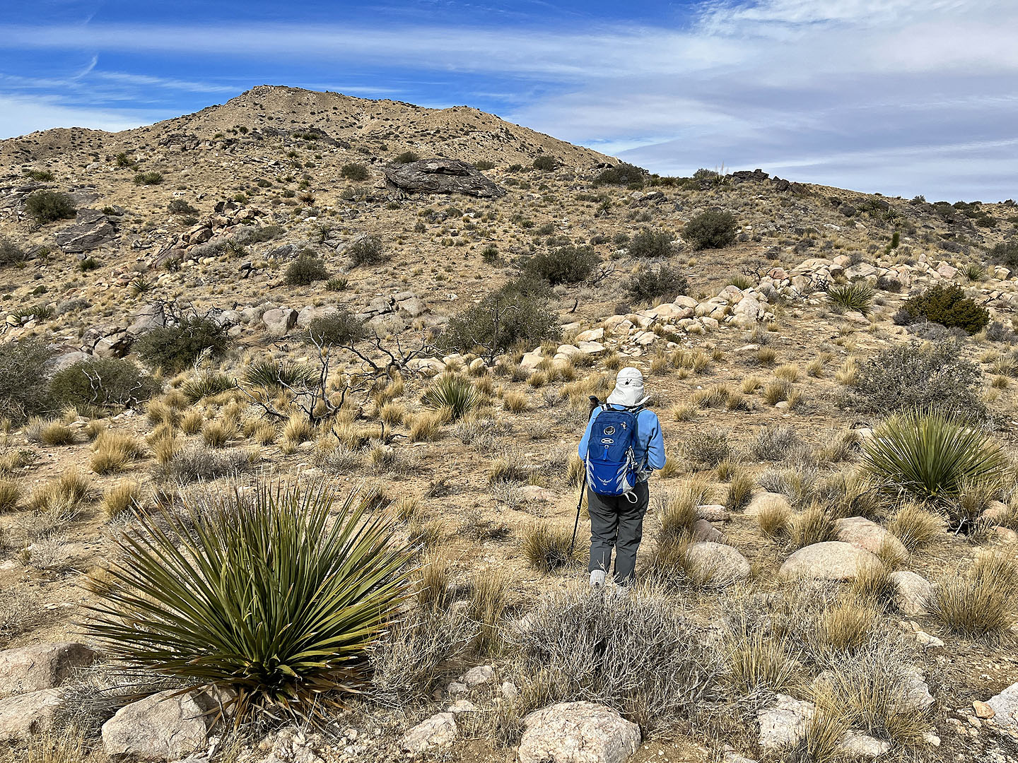 The summit is still far away
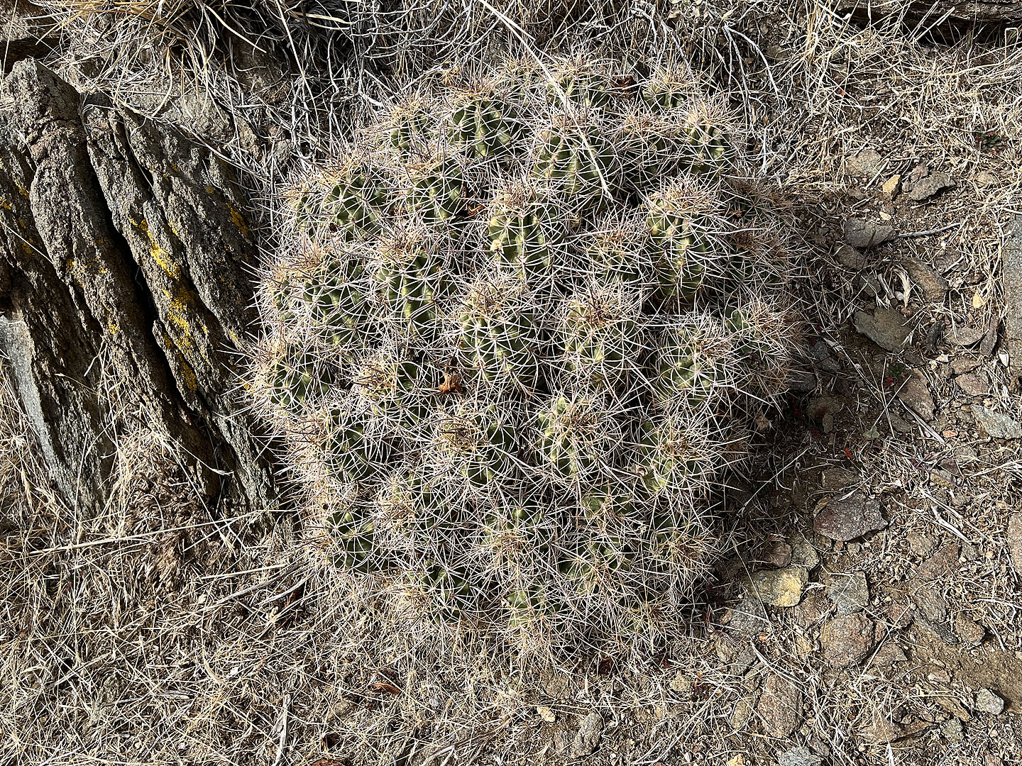 Hedgehog cactus
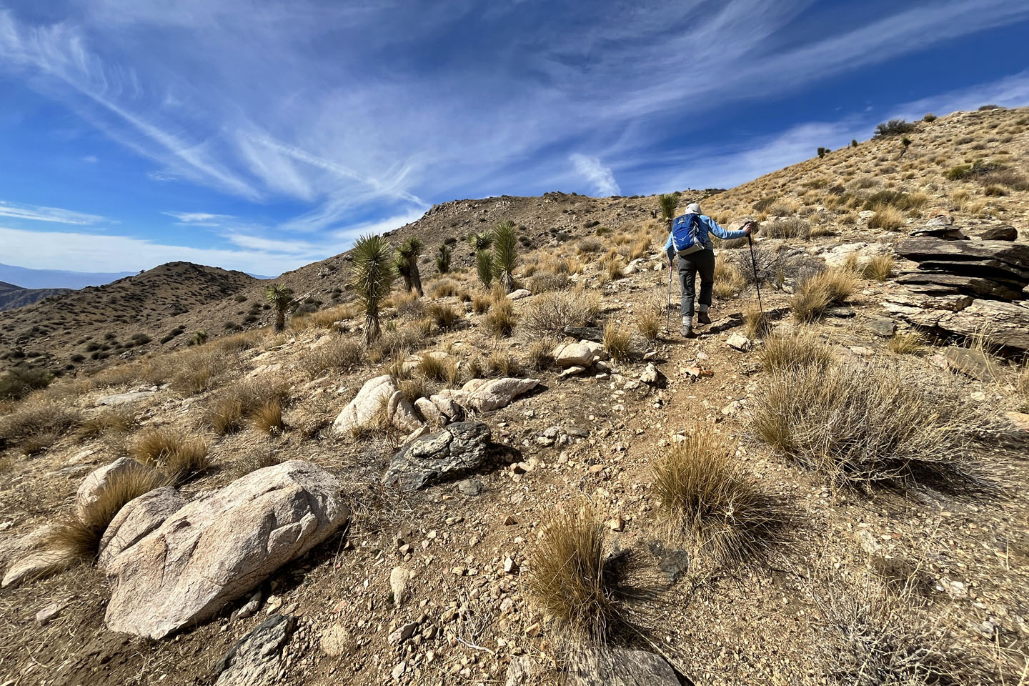 The ridge became well-defined and easy to follow
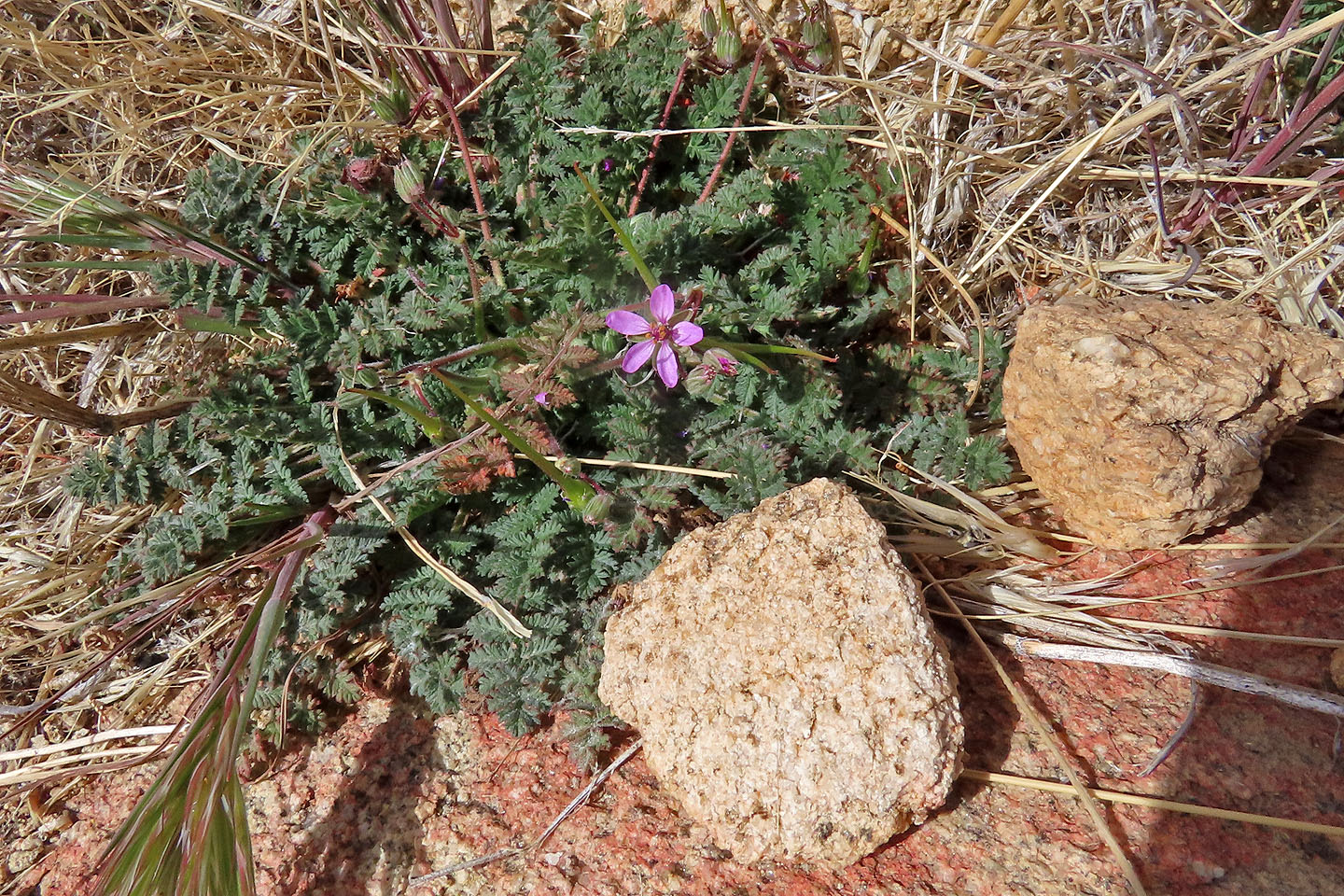 We came across tiny wildflowers
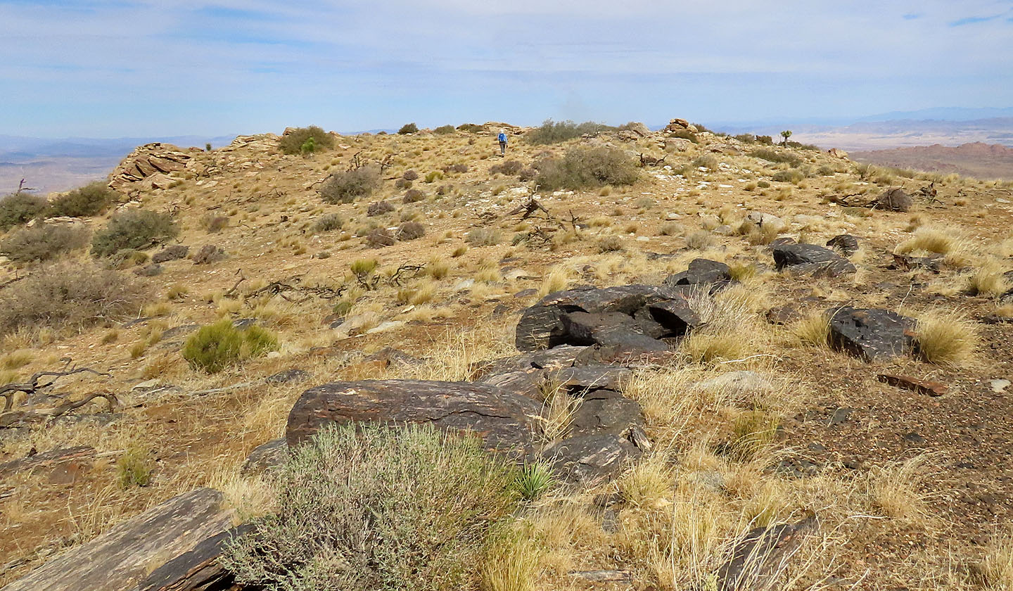
 The summit is within easy reach
 Quail South Summit
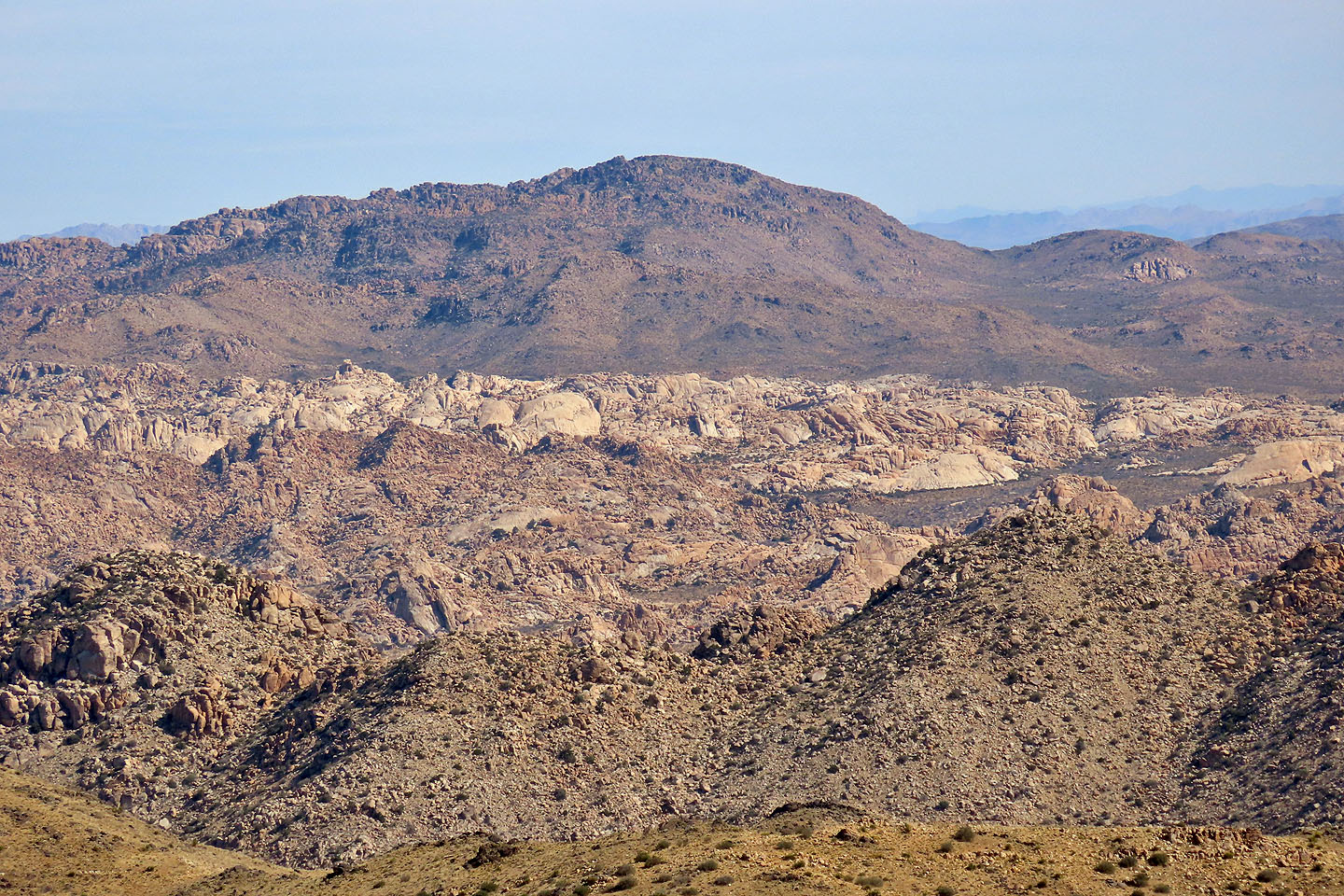
 In the background: Queen Mountain (left) and Ryan Mountain (right)
 A close look at Queen Mountain
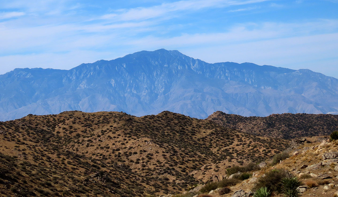 Mount San Jacinto lies southwest
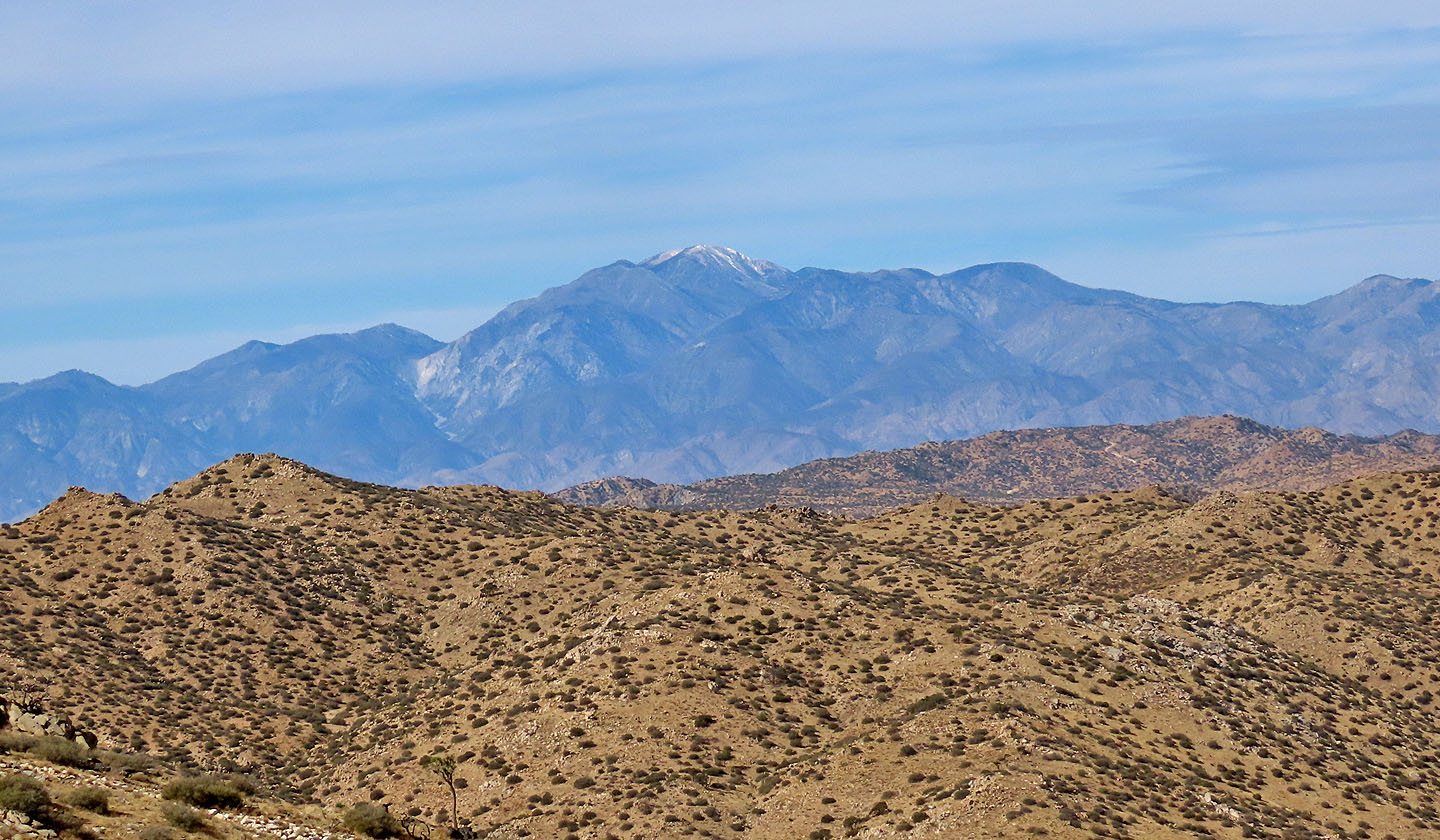 San Gorgonio Mountain is west
 From the South Summit, Dinah (centre) heads to the North Summit
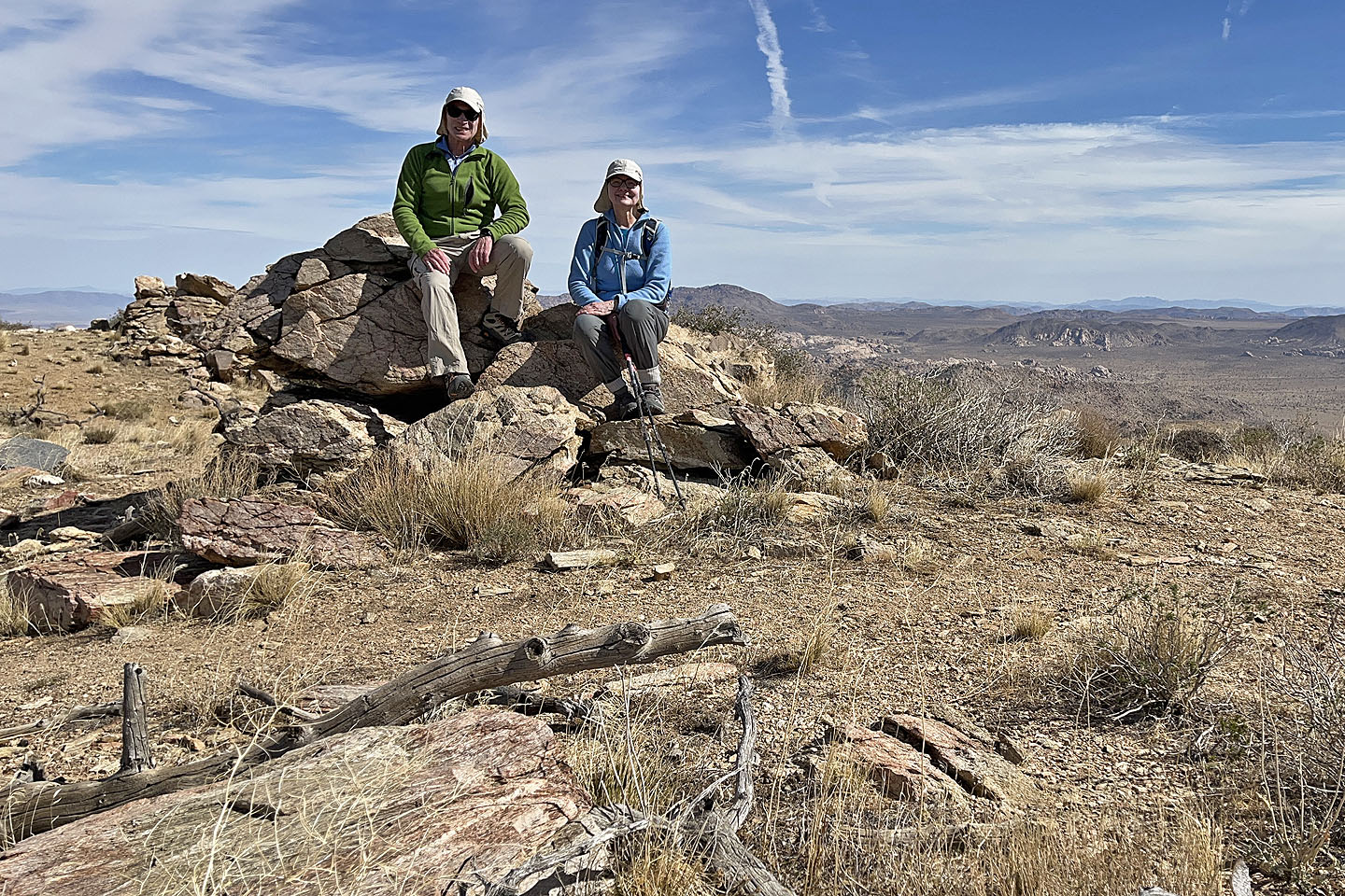 Sitting on the top
 Heading back down
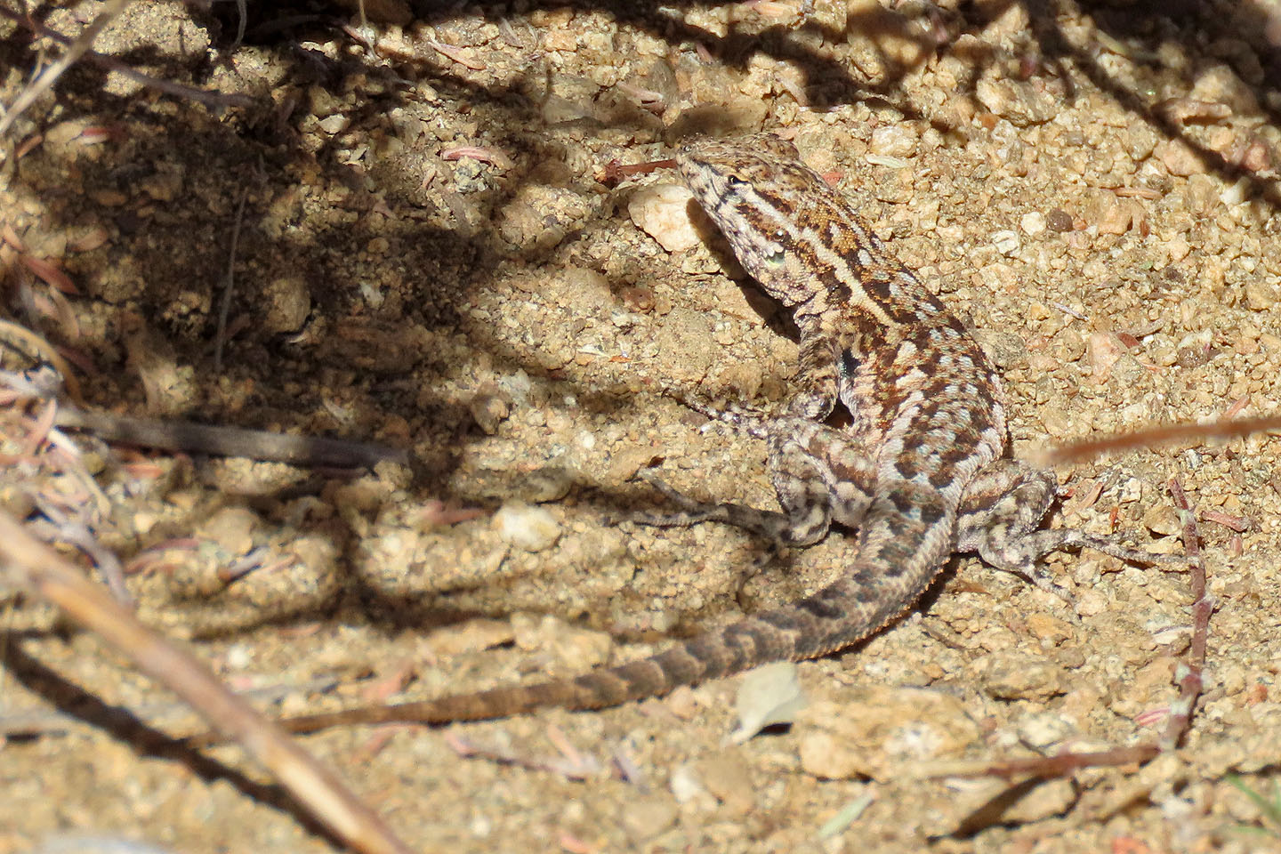 A lizard hides under a bush
 Going down the ridge to the wash
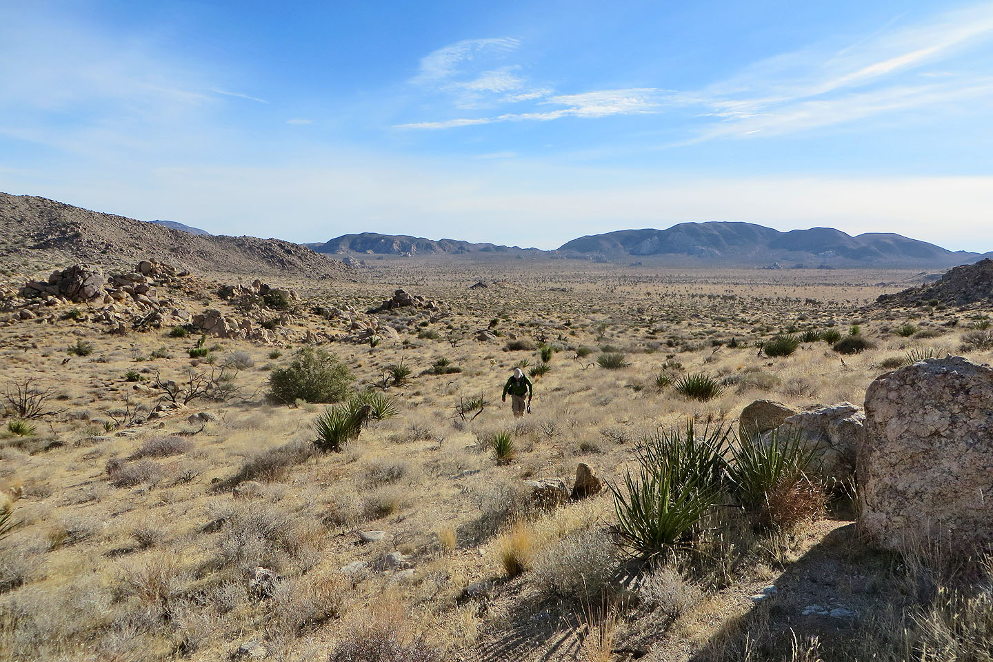
 Heading back to the desert flats
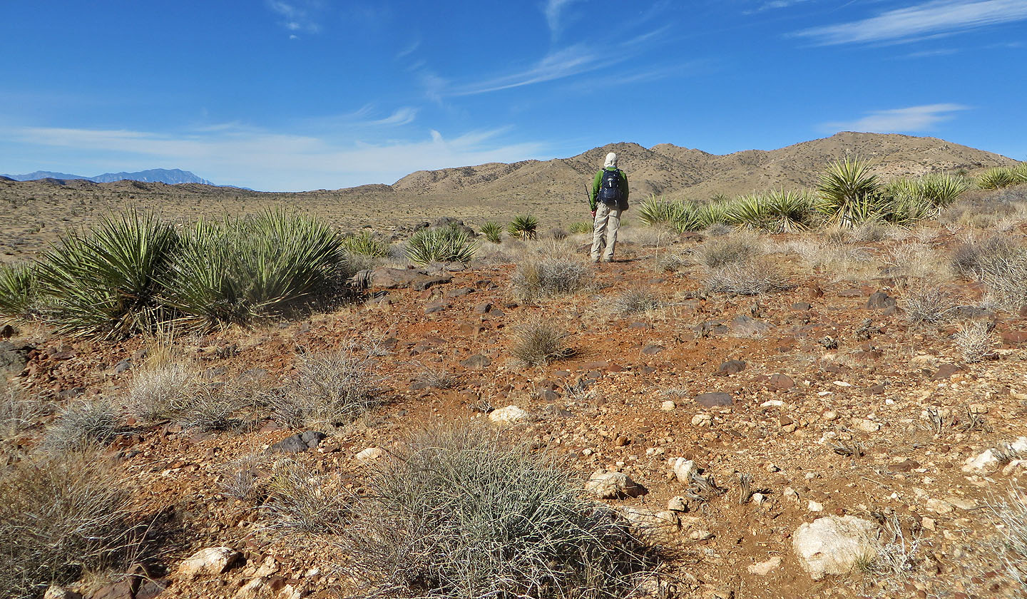
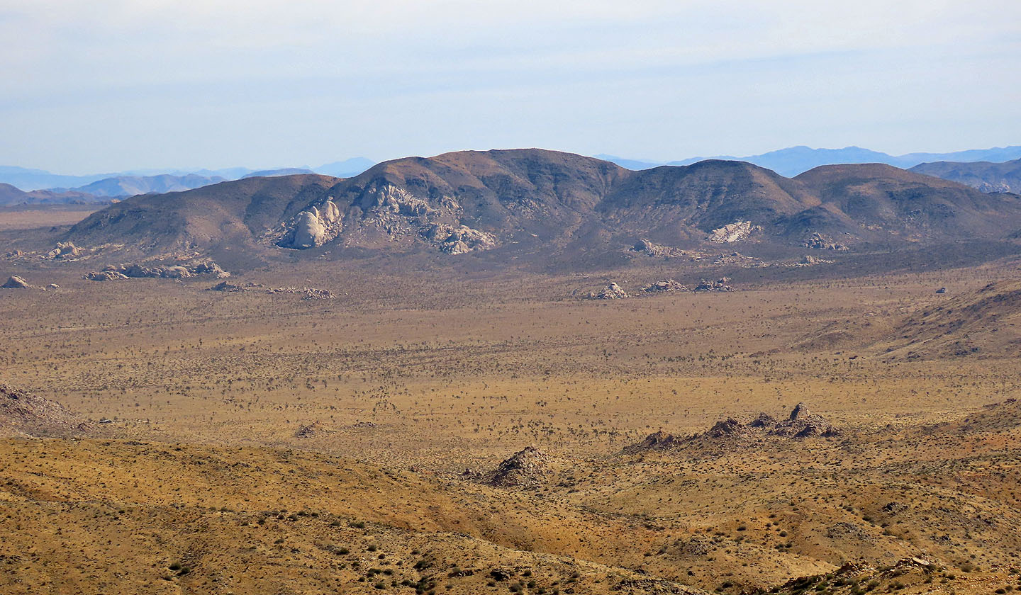
 On our way to the parking lot. Left is Arid Pile and right of Dinah is Turtle Rock.
 Indian Cove, Keys View (10.3 mi, 5817 ft, 1614 ft)