bobspirko.ca | Home | Canada Trips | US Trips | Hiking | Snowshoeing | MAP | About
Queen Mountain
Joshua Tree National Park, California
April 17, 2018
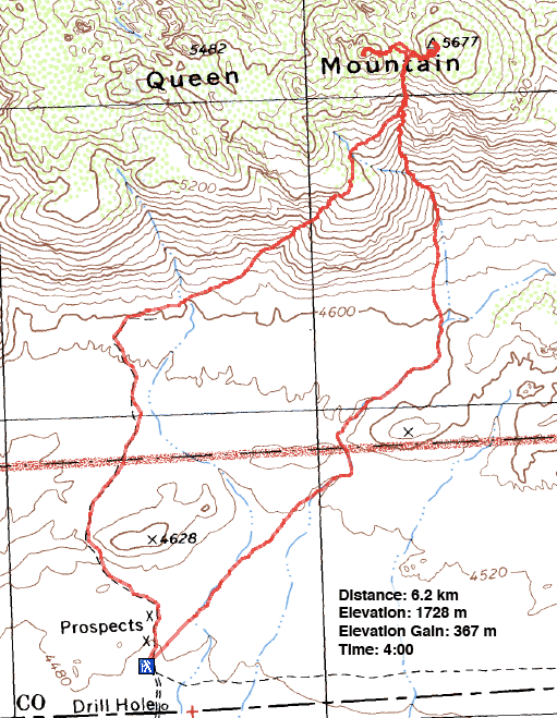
Distance: 6.2 km (3.9 mi)
Cumulative Elevation Gain: 418 m (1371 ft)
Despite being the second-highest peak in Joshua Tree National Park, Queen Mountain is only a lightweight climb, a short, class 2 trip. To reach the trailhead, you have to drive down a narrow, sandy road. However, most vehicles should be able to handle it. The usual ascent crosses the desert flats and reaches a south-facing gully without the benefit of a trail. The gully leads to the col separating Queen Mountain and Queen Benchmark. Since Queen Benchmark is within easy reach, it's worth the added effort if only to sign the summit register; there is no register on Queen Mountain. After bagging both peaks, one can follow the descent trail down the southwest gully.
It was cold, much cooler than normal for this time of year when Shin, Dinah and I set off from the trailhead. After hiking across the desert we hit a wash and followed it to the bottom of the gully. After starting up, it became too steep and rocky to stay in the gully so we climbed the left side for a way. But the terrain soon eased. We dropped back into the gully and followed a faint trail up to the col.
Once on the col, we threaded through rocky terrain to the north side of Queen Mountain. Impressively, Queen is crowned with a huge rock slab. We delighted in walking up this steep rock to the summit. On top, we were greeted by a cold wind so we didn't stay long.
We dropped back down to the col and made our way up the south side of Queen Benchmark. Sitting just 3 m lower than the Mountain, Benchmark didn't seem as cold. We signed the register, took photos and started back down the gully.
Partway down, we found the descent trail, marked with cairns, that follows a shallow gully southwest of the mountain. After climbing much of the mountain without a trail, it came as a surprise to find a good trail going all the way down. We enjoyed the desert scenery as we hiked back to our car.
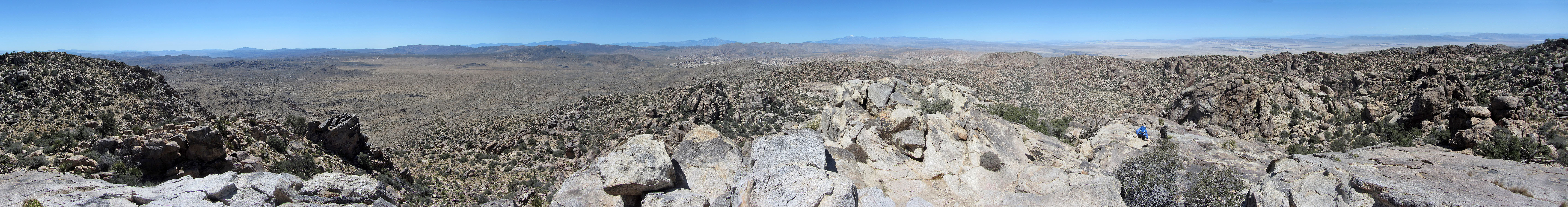
Queen Mountain and Queen Benchmark seen from the trailhead. The ascent gully is hidden but the shallow descent gully (centre) can be seen.
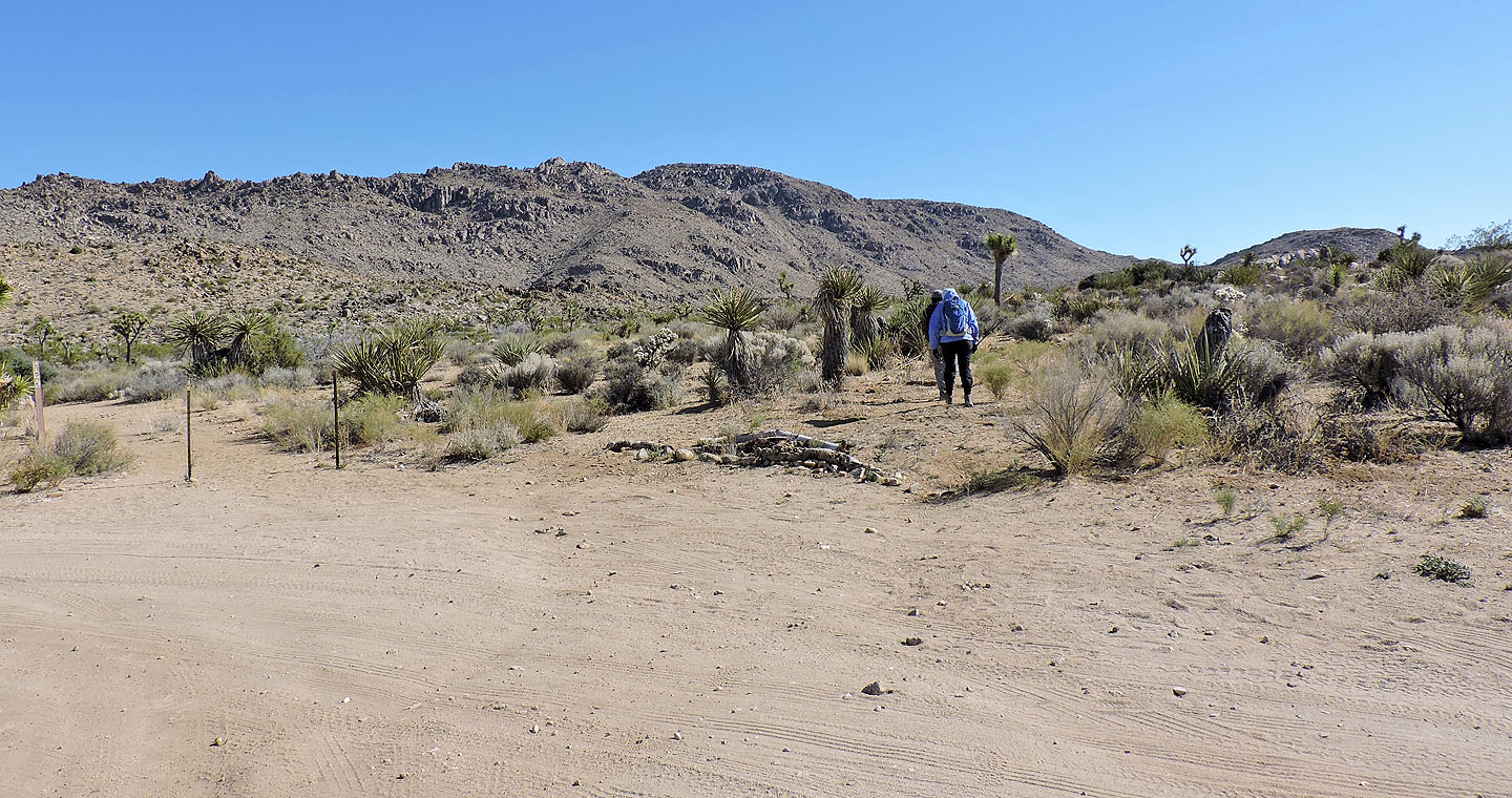
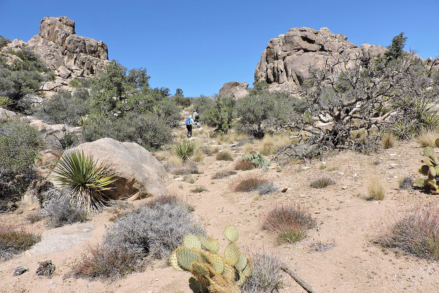
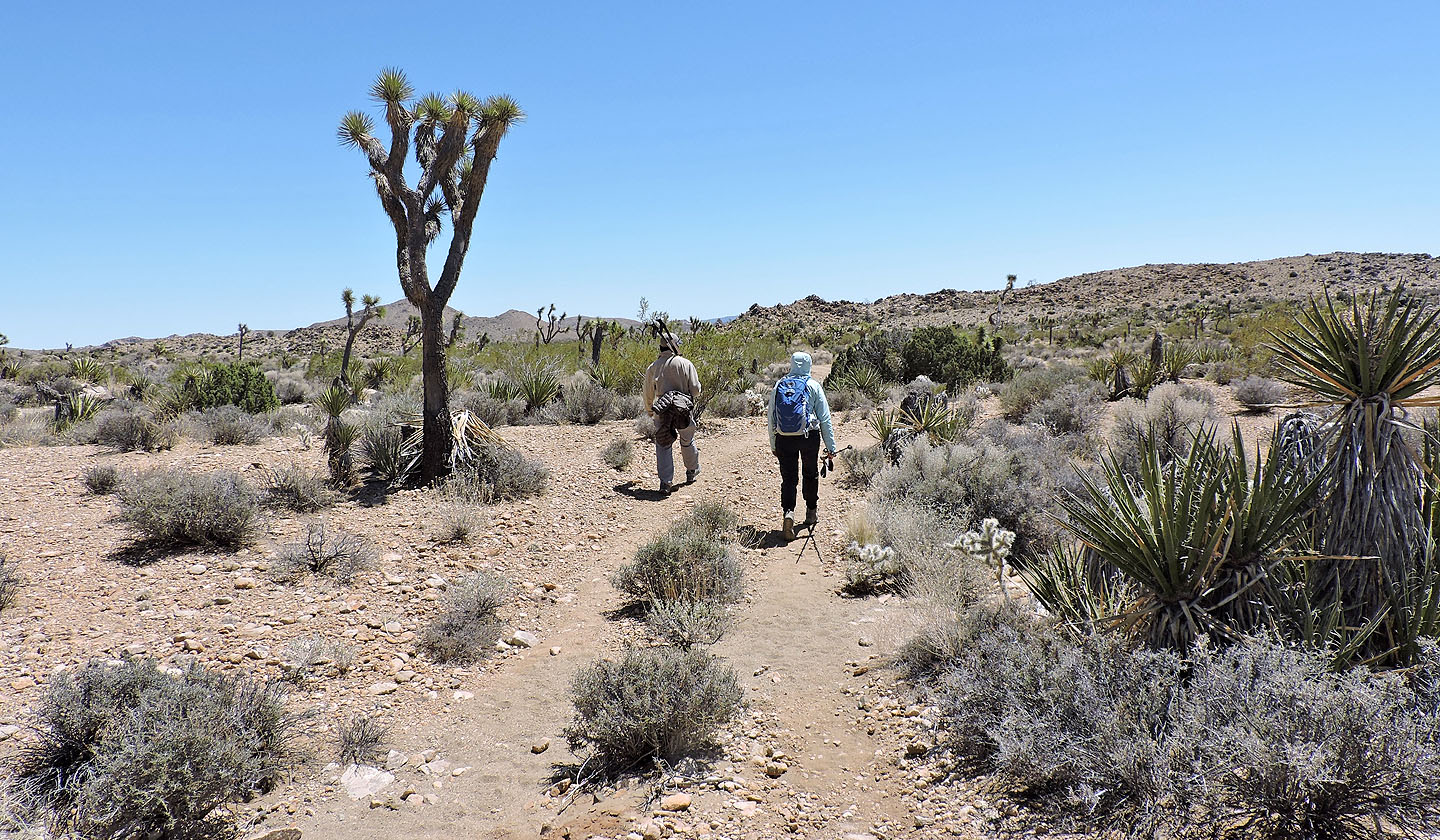
We made our way to a wash that will lead us to the ascent gully
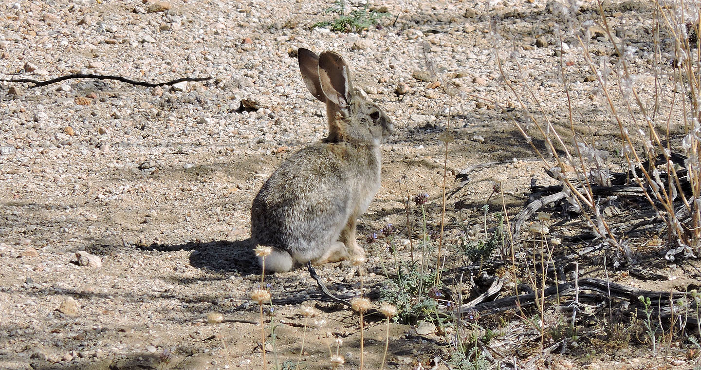
A rabbit remained still as we passed by
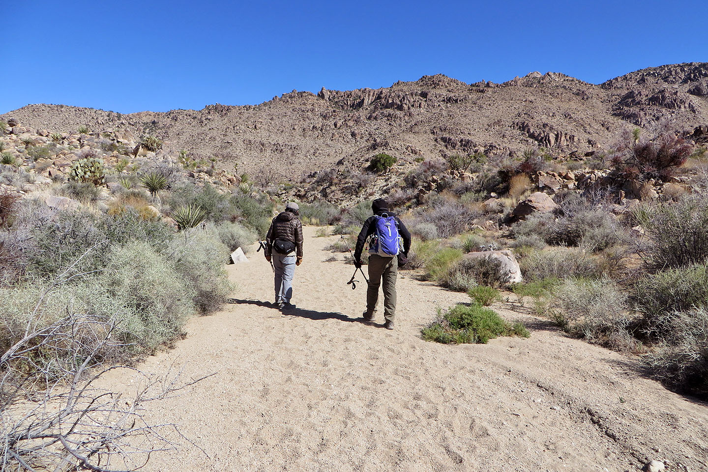
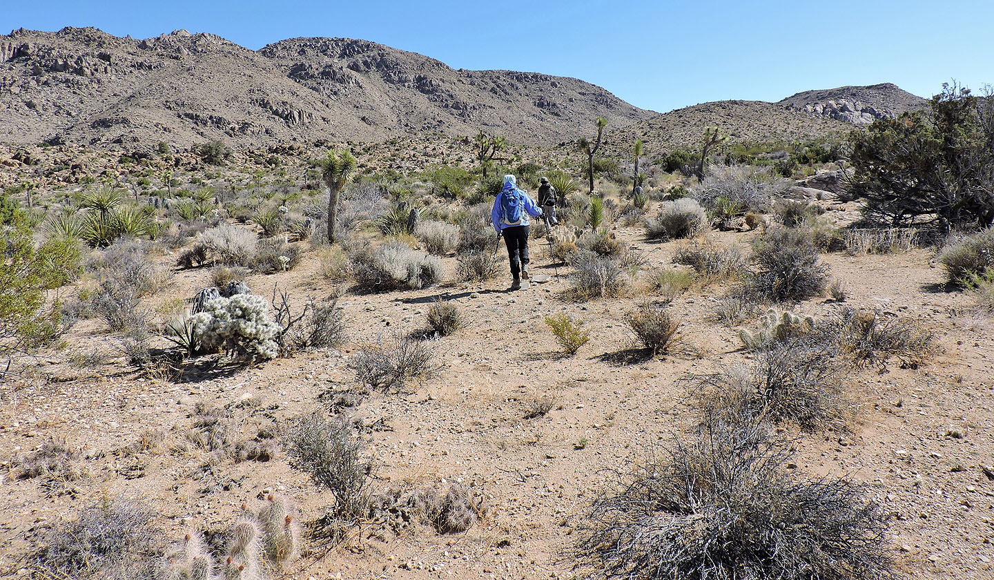
Hiking up the wash
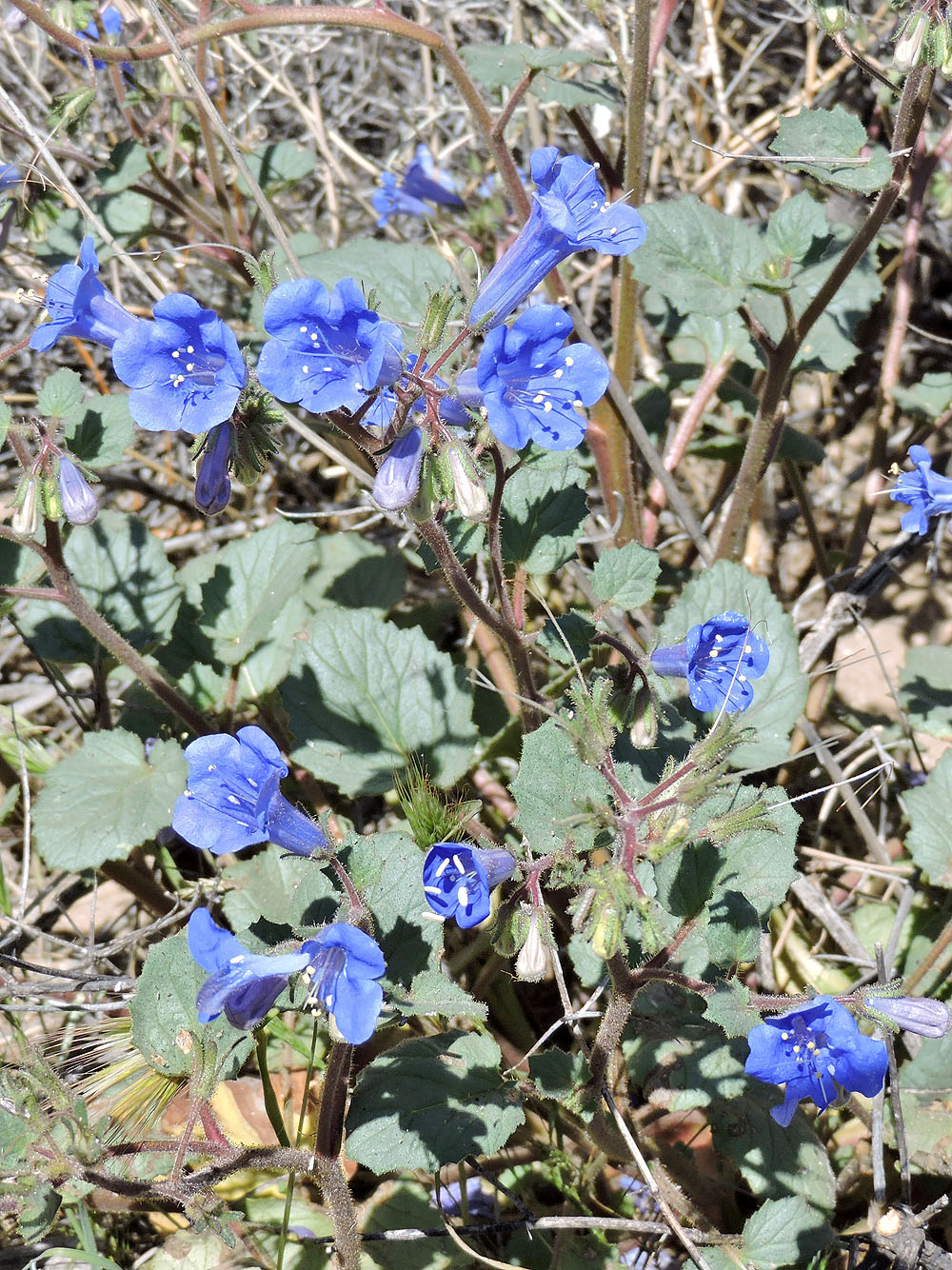
Desertbells

Flowering yucca
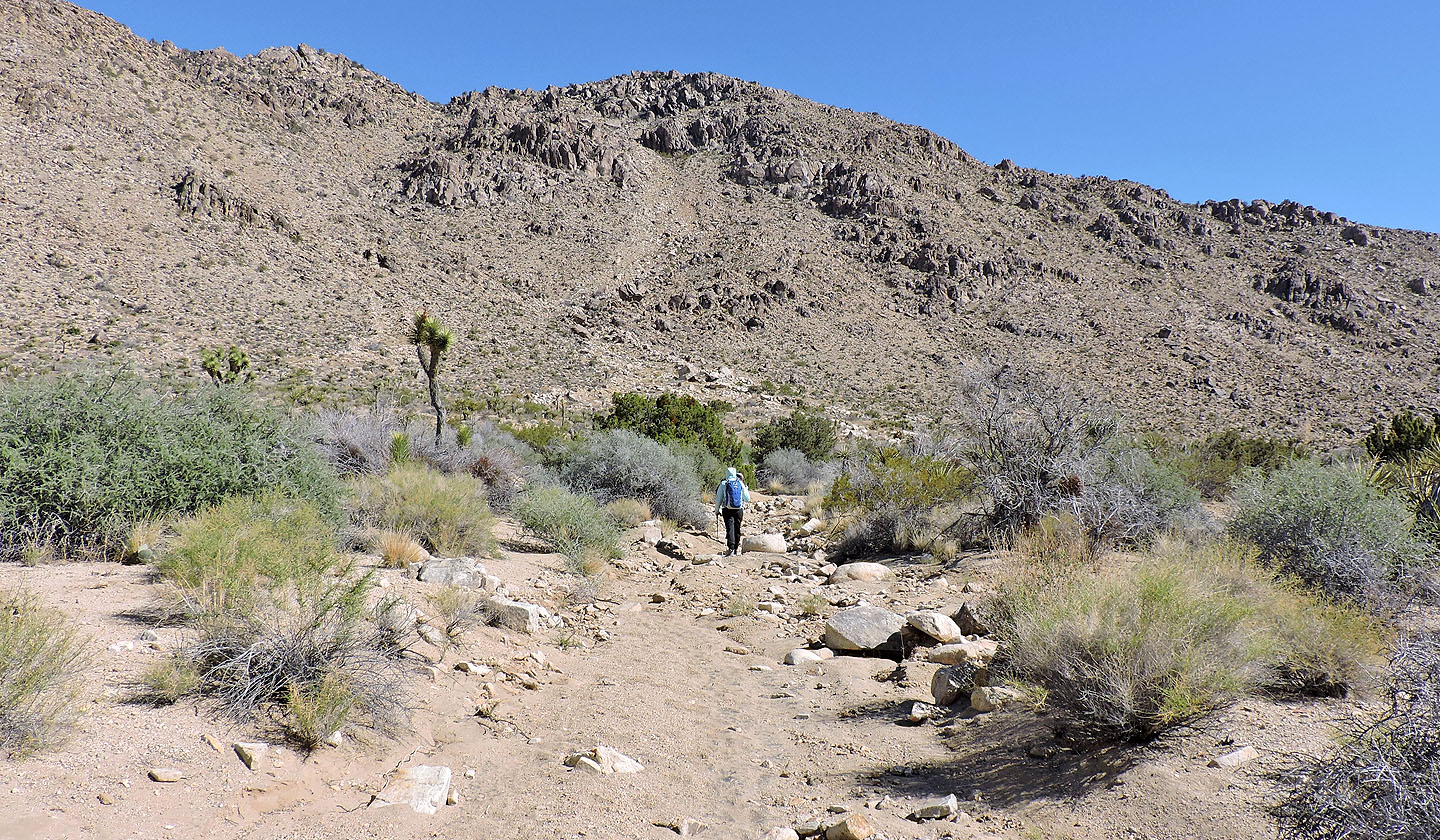
Almost at the bottom of the gully
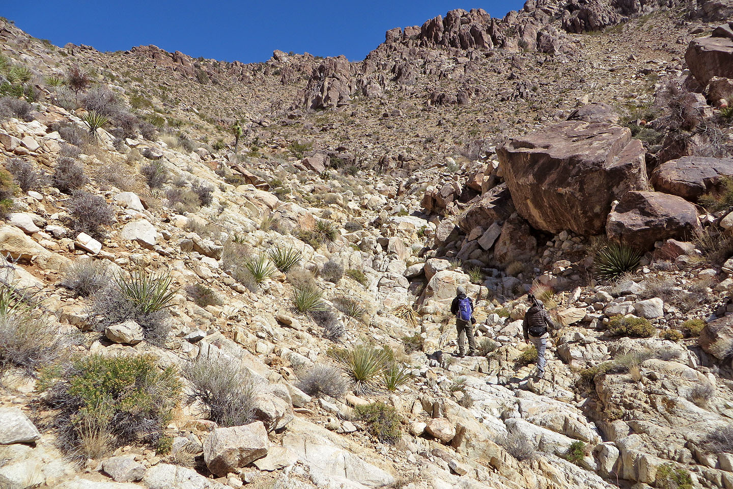
Starting up the gully
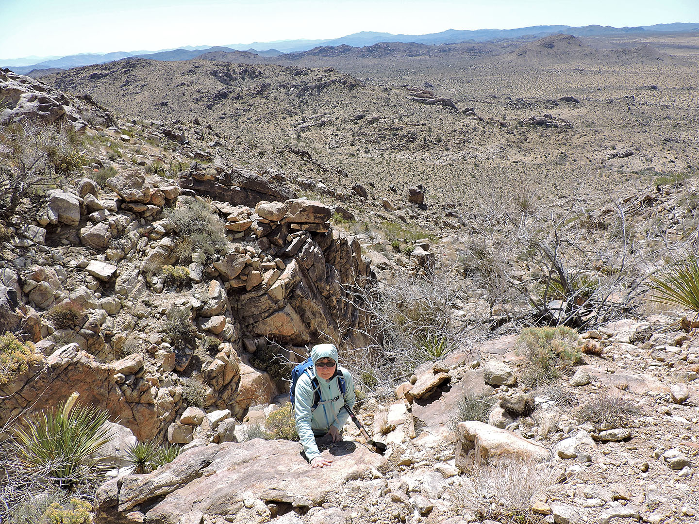
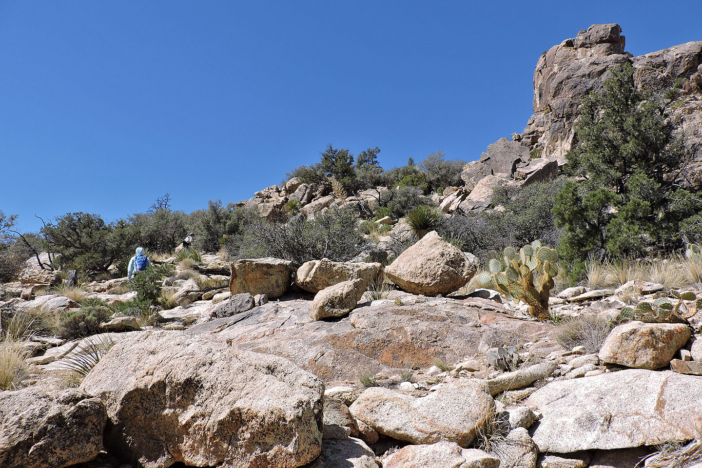
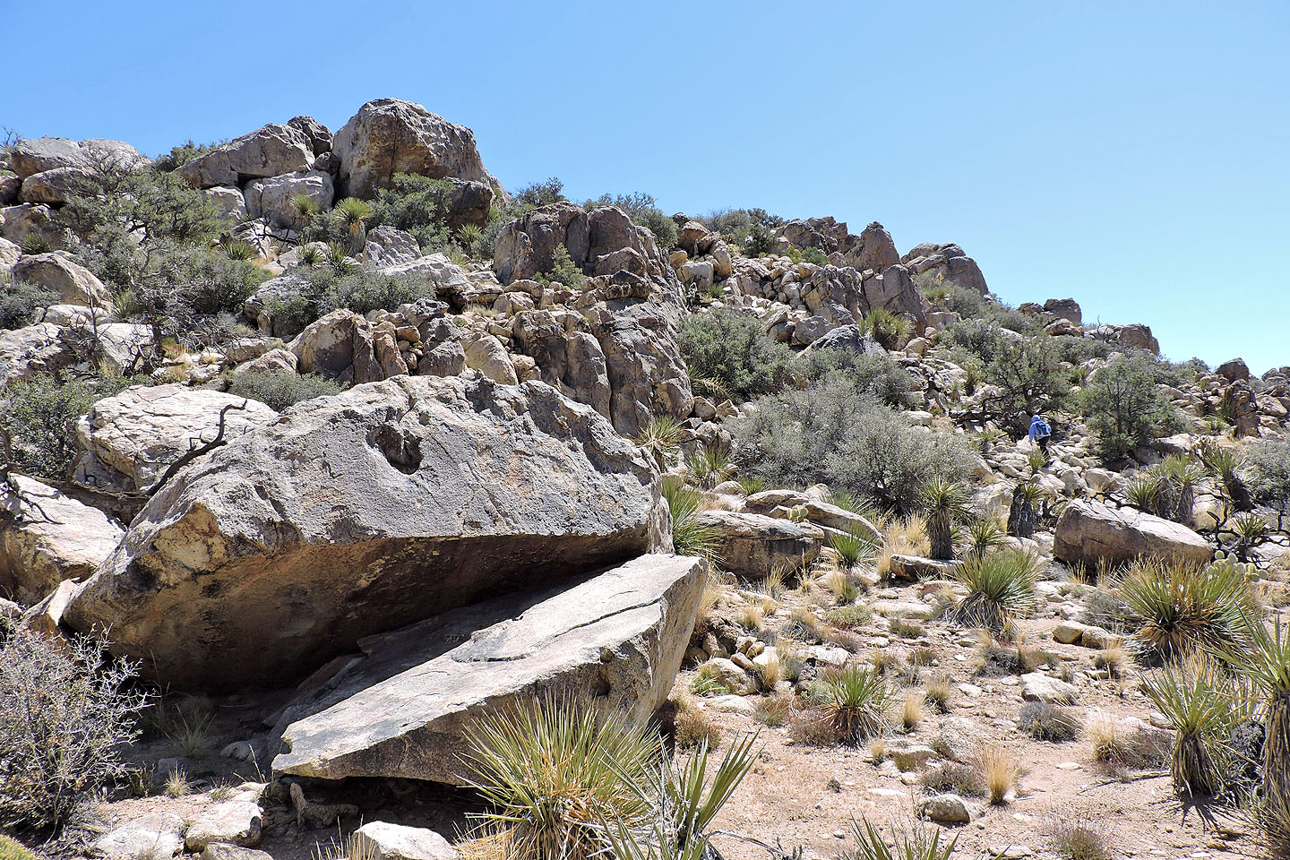
When the gully became too difficult to climb, we went up the left side
Back in the gully
Ryan Mountain appears above Dinah
On the col, the lower slopes of Queen Benchmark are right
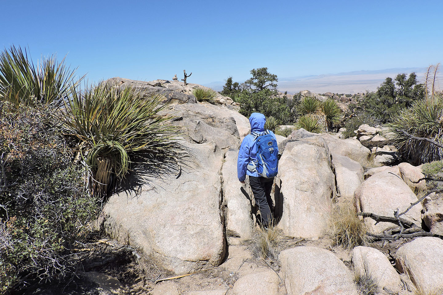
After reaching the col, we went to the north side of Queen Mountain
We made our way through the rocks to the summit block
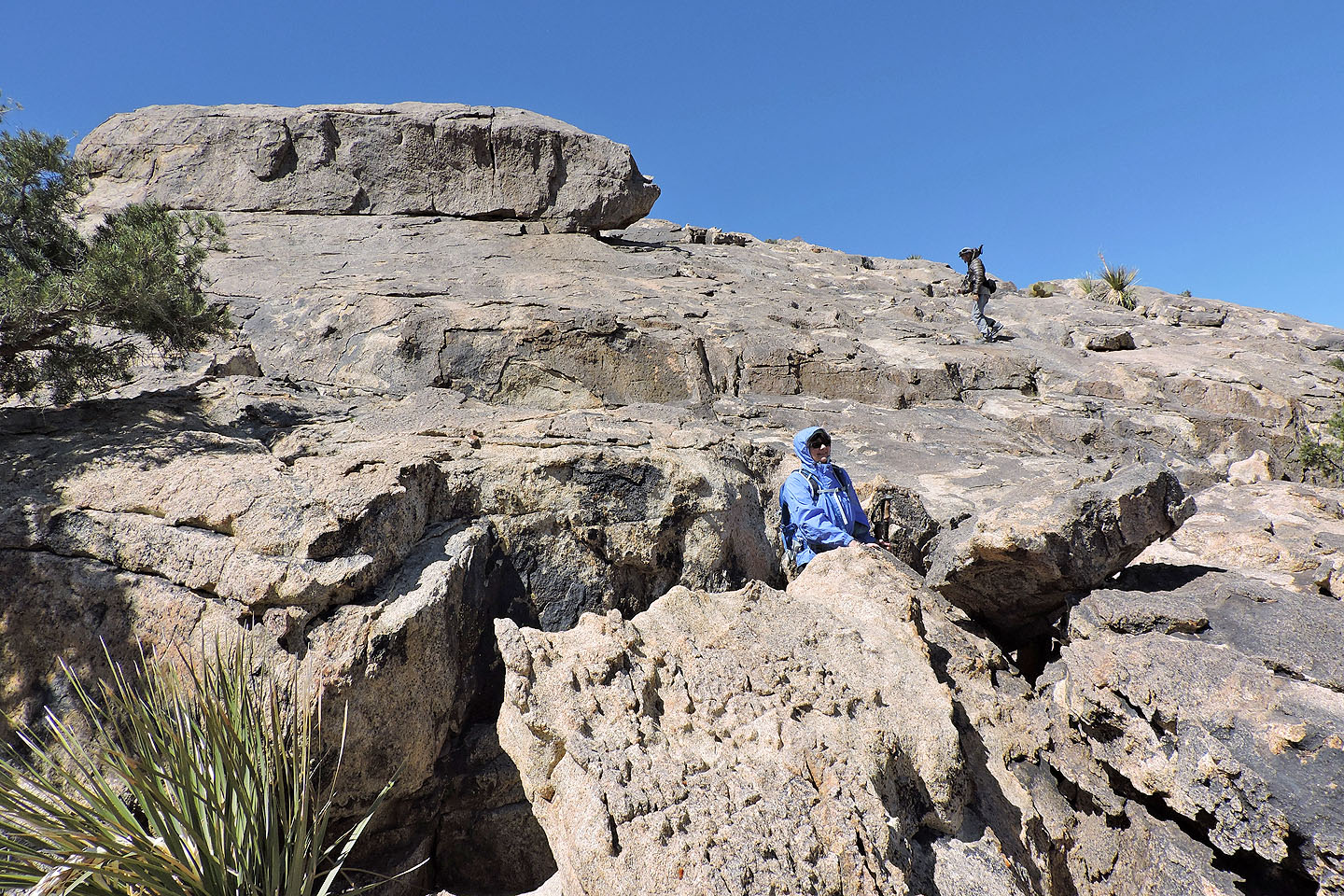
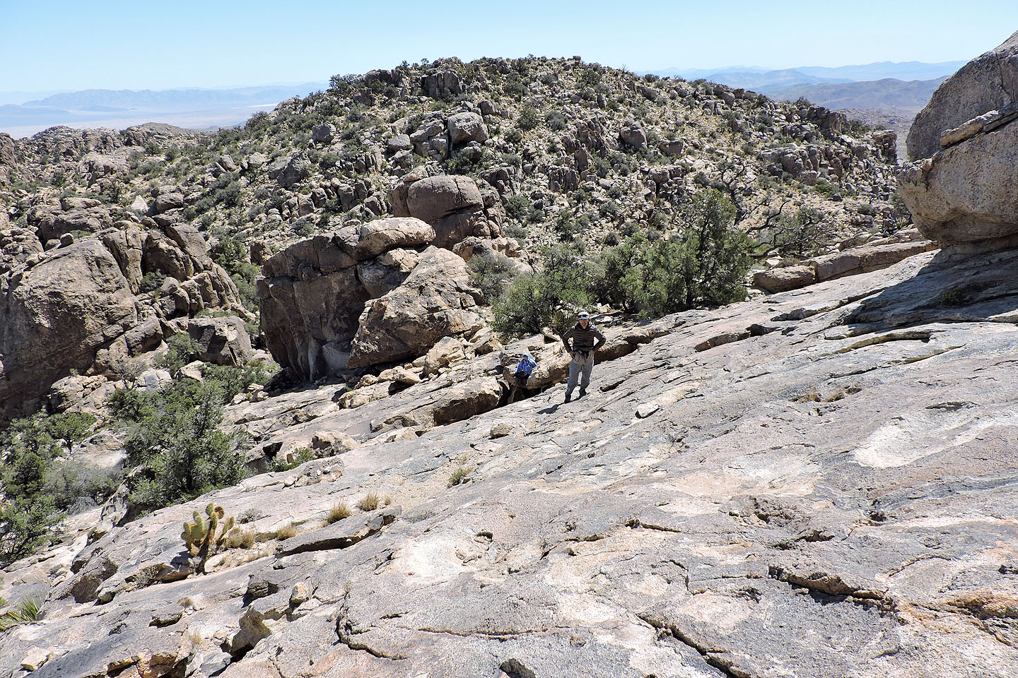
Starting up the summit block

Walking up slabs to the top of Queen Mountain
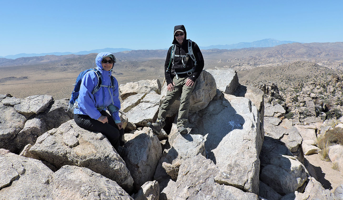
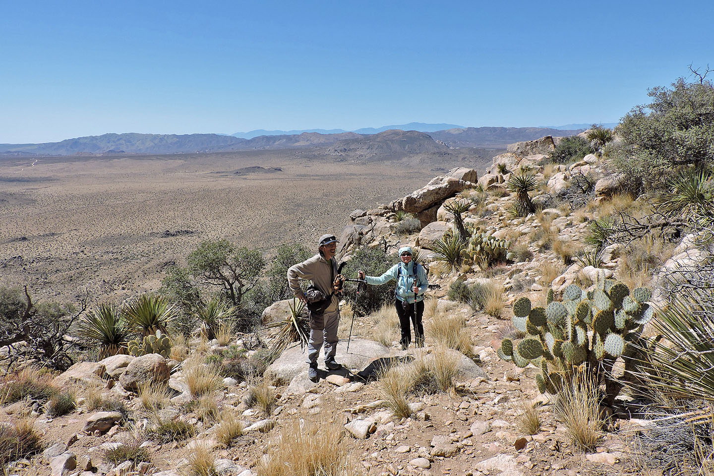
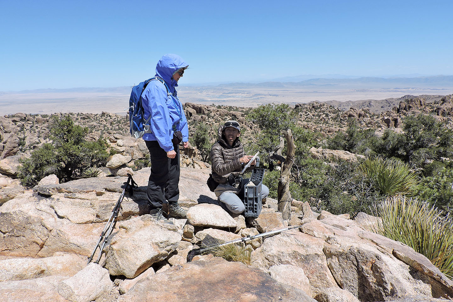
Dinah and I on the summit
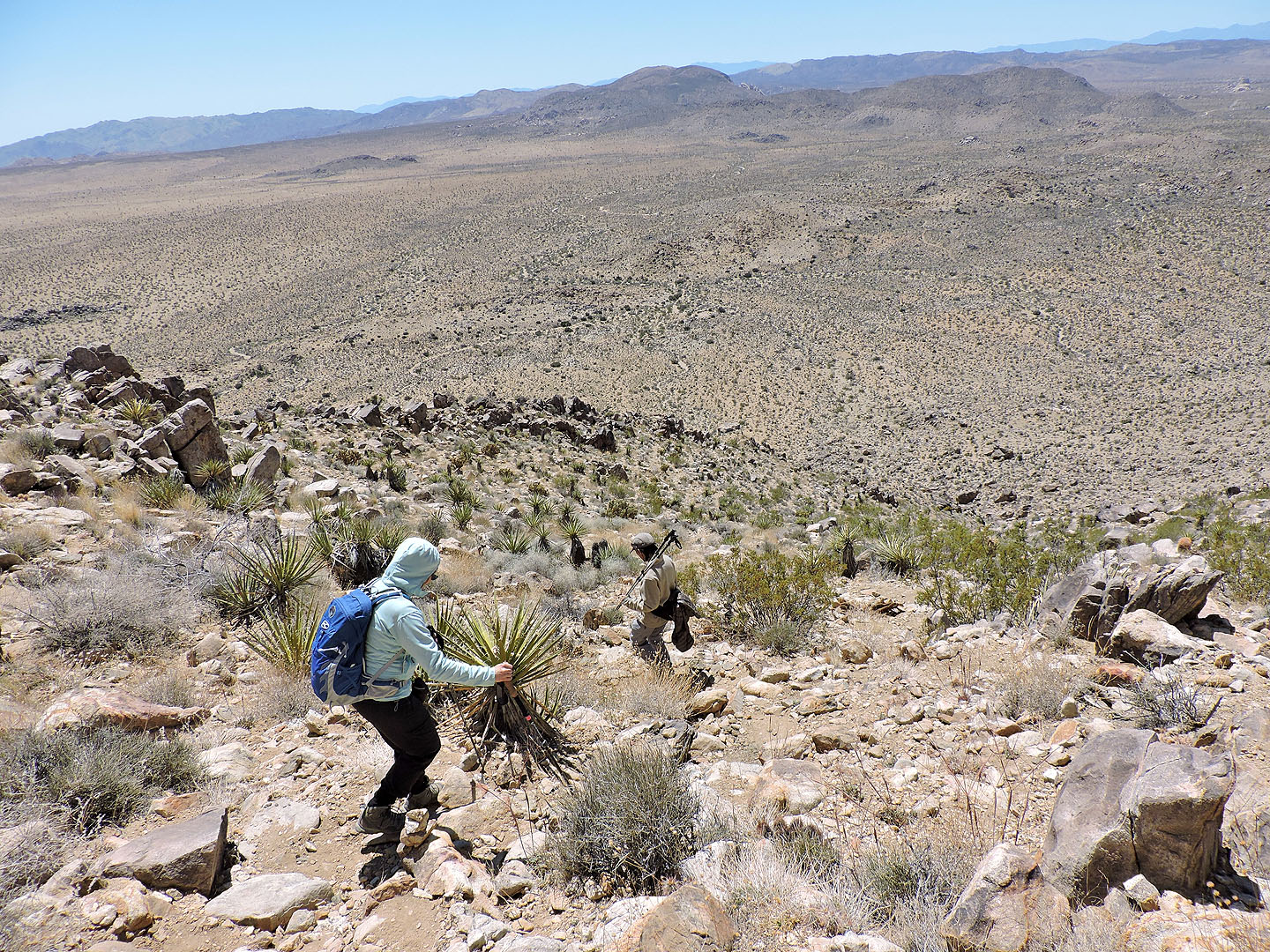
Heading down with Queen Benchmark in our sights
From the col, we passed a split rock and made our way up the right side of Queen Benchmark
After scrambling up, we could see the summit cairn
Dinah and Shin look at the summit register
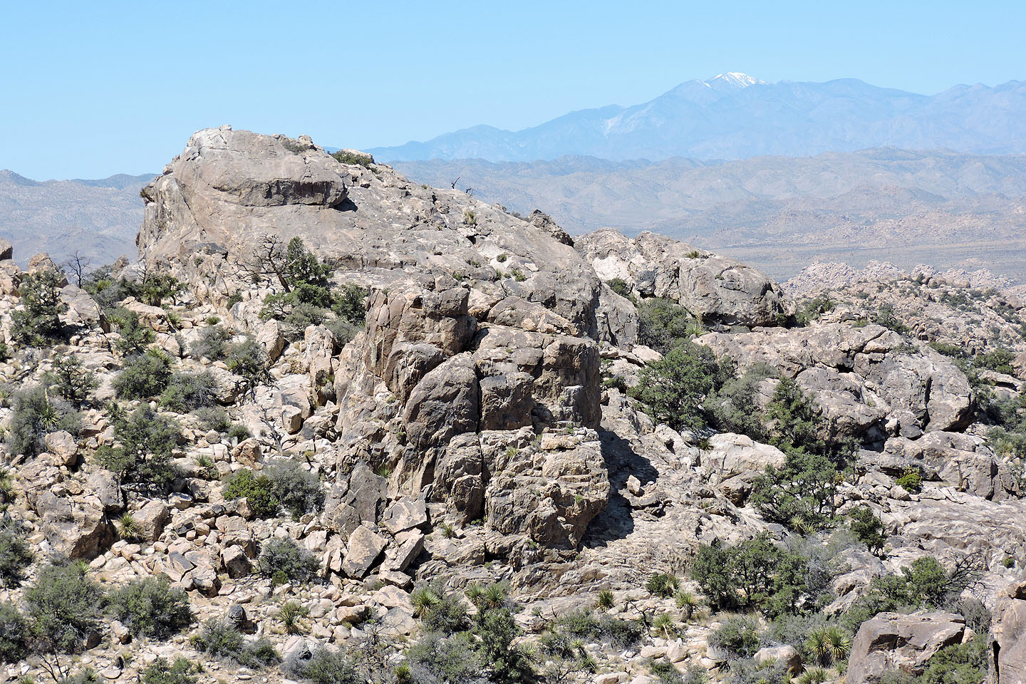
View of Queen Mountain
San Gorgonio Mountain is 3500 m high and 70 km from Queen Mountain
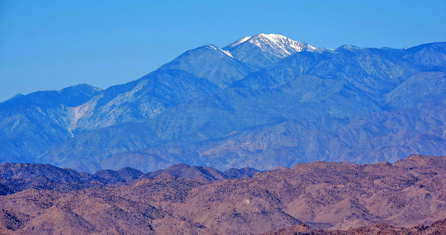
Ryan Mountain sits in the foreground. 3300-metre San Jacinto Peak rises behind it.
Starting back down the gully
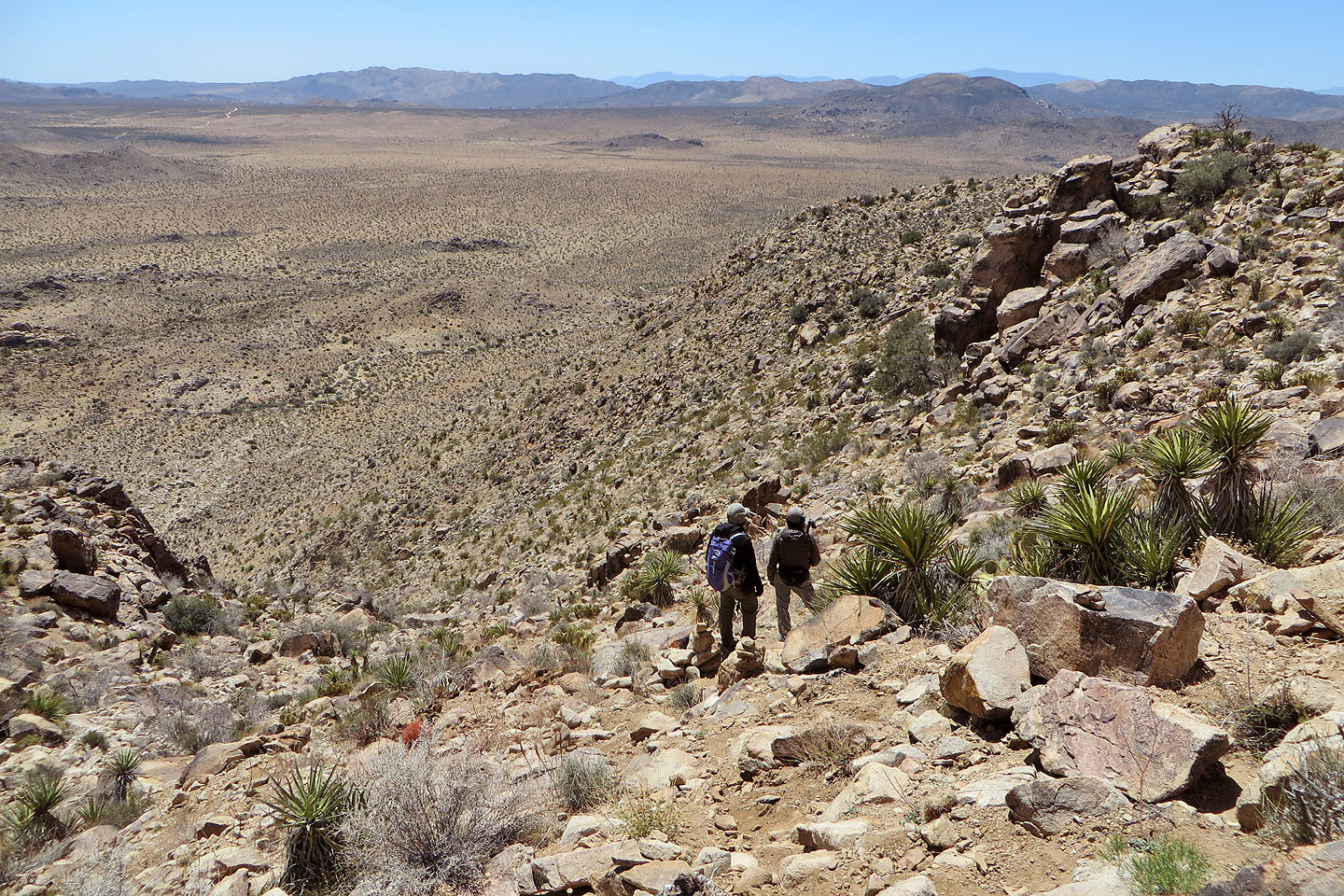
Cairns mark the turn-off for the descent trail
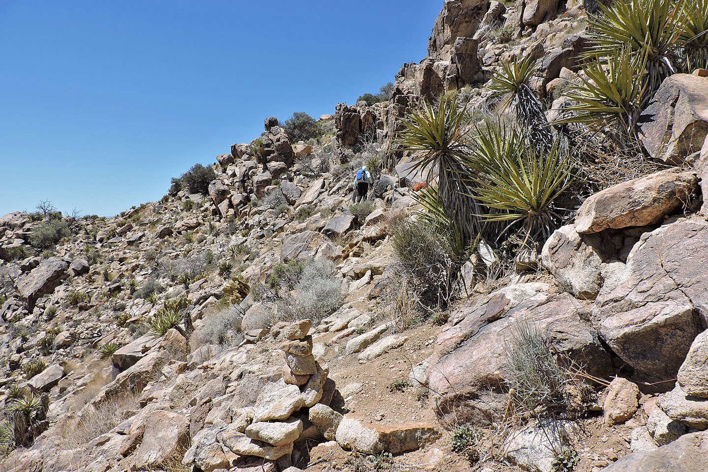
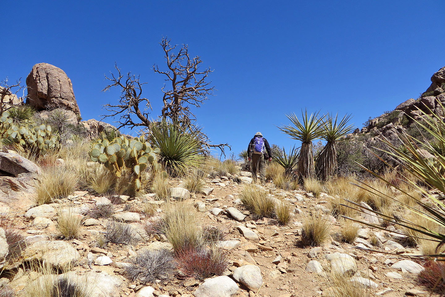
Starting along the descent trail
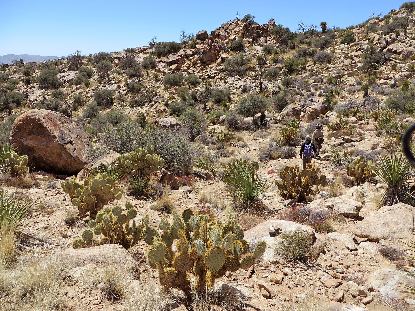
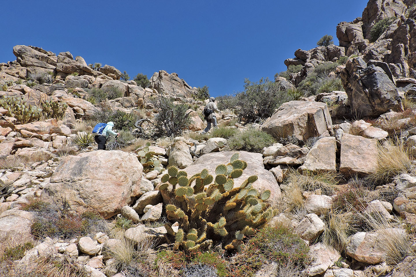
Lots of prickly pear cacti here

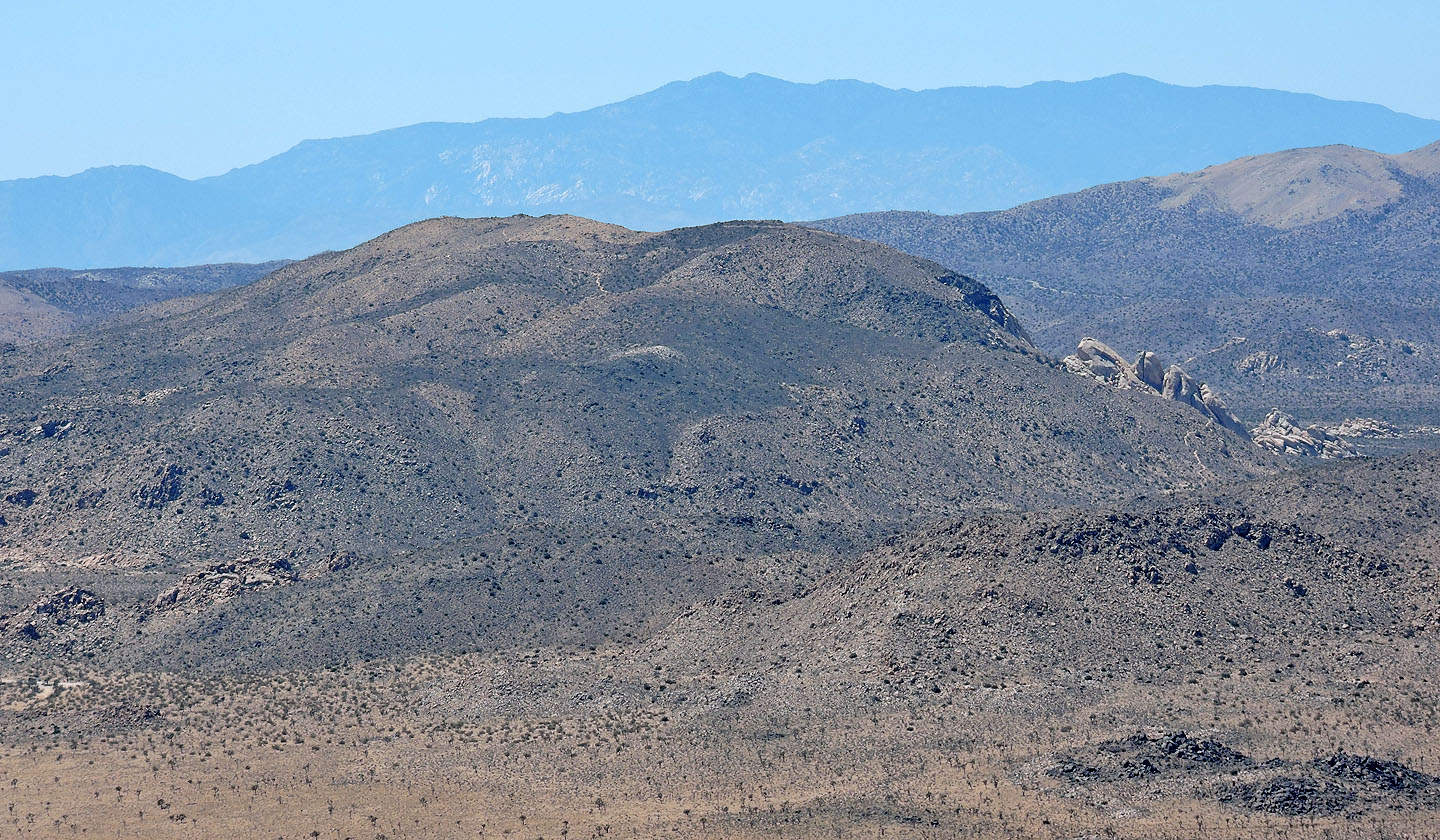
Looking back at Queen Mountain and Queen Benchmark
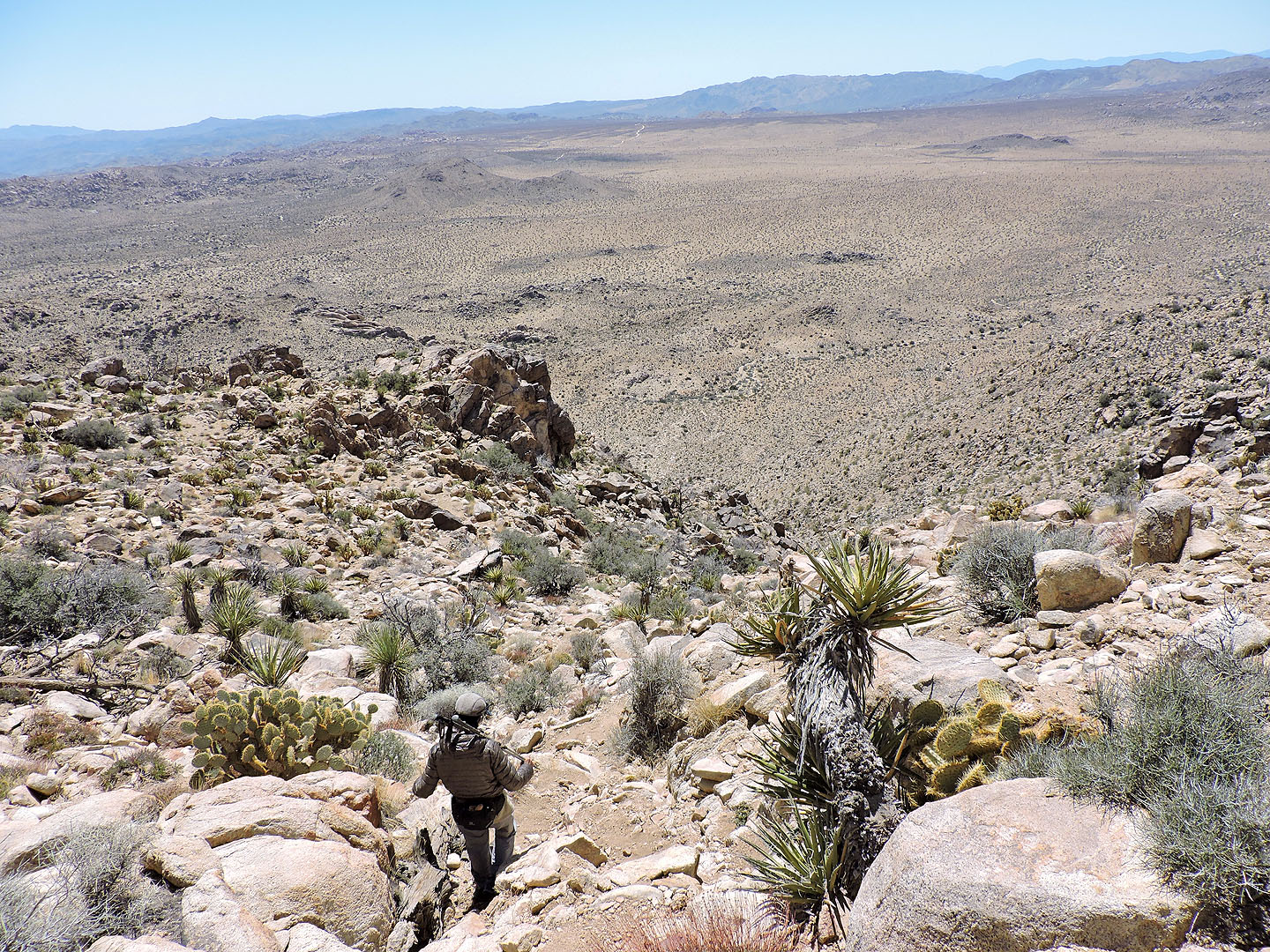
We followed the trail down to the desert flats
The trail leads to a road which took us back to the trailhead
Queen Mountain (3.9 mi, 5669 ft, 1204 ft)