bobspirko.ca | Home | Canada Trips | US Trips | Hiking | Snowshoeing | MAP | About
Pahrump Peak
aka Pahrump Point
Nopah Range, California
April 16, 2009
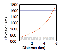
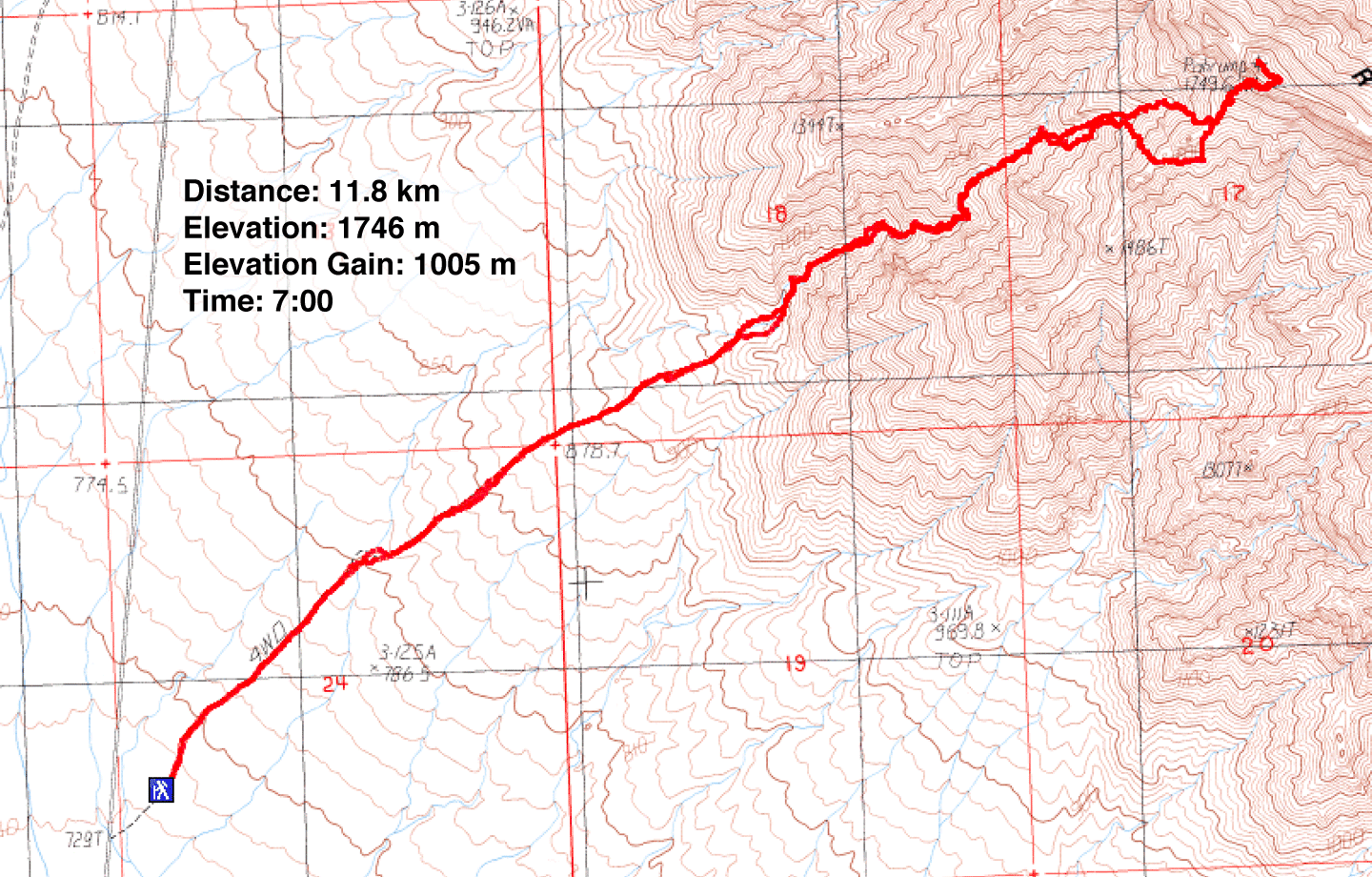
Distance: 11.8 km (7.3 mi)
Cumulative Elevation Gain: 1039 m (3409 ft)
While I work on the trip report Pahrump Peak in our hotel room, downstairs Dinah is trying her luck on the slot machines. Between the two of us, though, I expect to have a more satisfying evening!
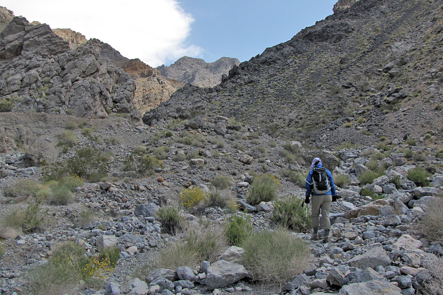
Pahrump Peak is a seldom-climbed mountain west of Las Vegas just across the Nevada-California border. Summitpost provided a little information, but I also found a route map on the internet. It's a simple route: after crossing the flats to the base of the mountain hike up a wash and then ascend a ridge leading to the summit. It's rated as a class 2 climb.
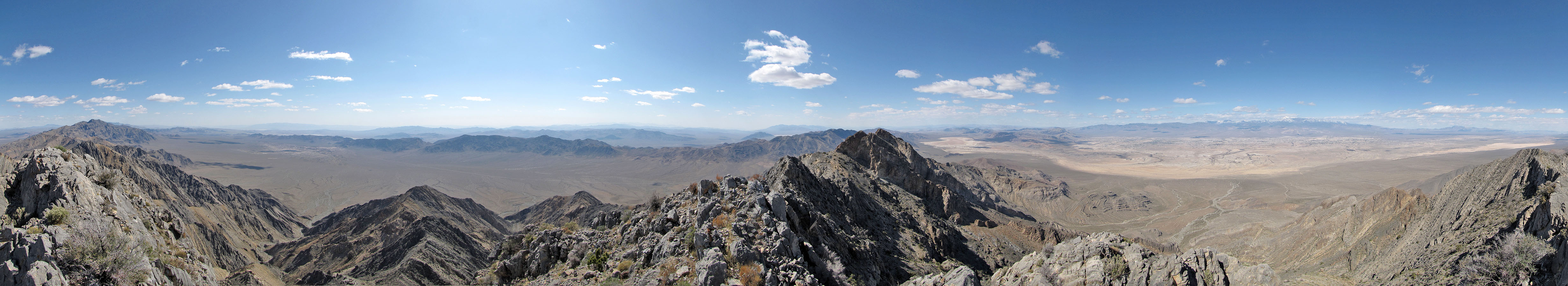
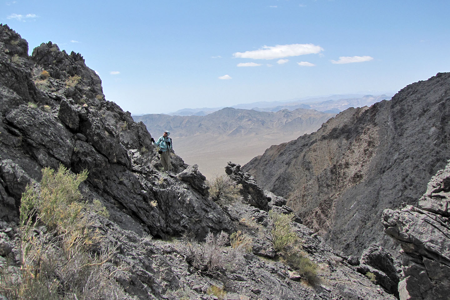
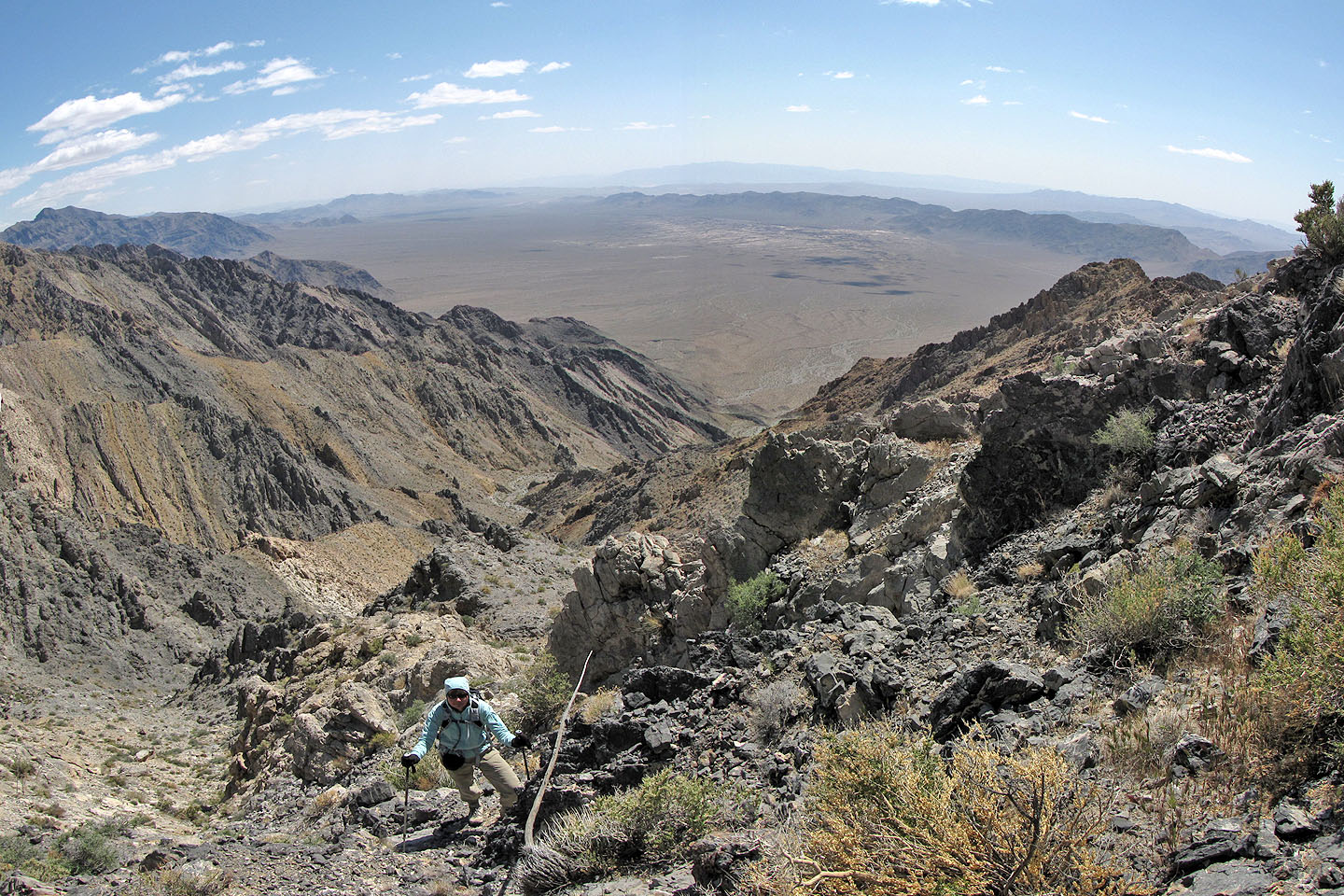
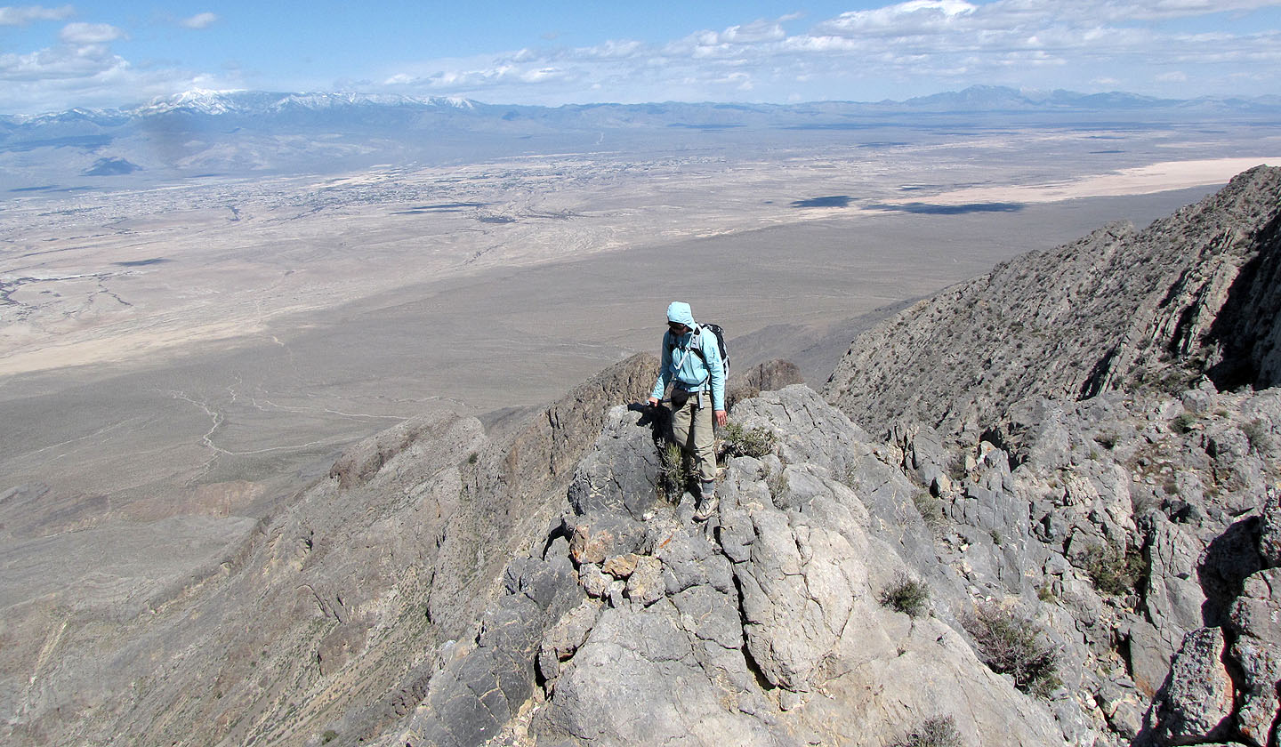
We followed a road that leads to the wash, marvelling at the flowering beavertail and barrel cacti along the way. After entering the wash we followed intermittent trails and cairns. We made the mistake of leaving the wash prematurely and found ourselves climbing steep slopes to reach the ridge. However, this brought us out of the wash and into the views quicker. And the views were grand. We could see expansive flats of the valley floor as well as snow-covered Mount Charleston. A ridgewalk to the summit finished the climb.
On the return, we descended more directly to the wash, avoiding the steep slopes we had climbed earlier. The walk back across the flats was unavoidable of course, but looking back, the sun now low in the sky, Pahrump Peak showed off its colours.
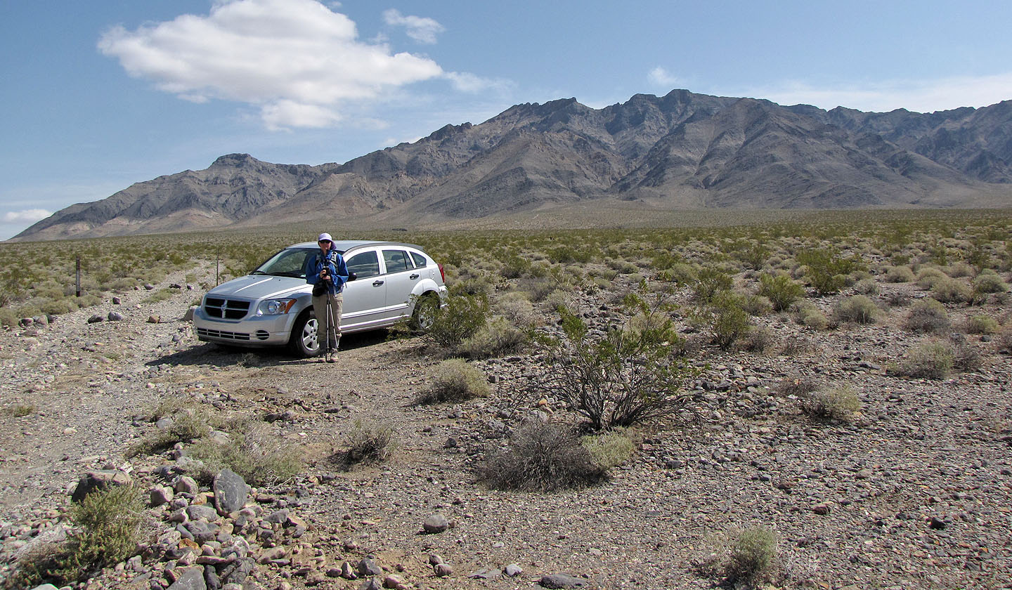
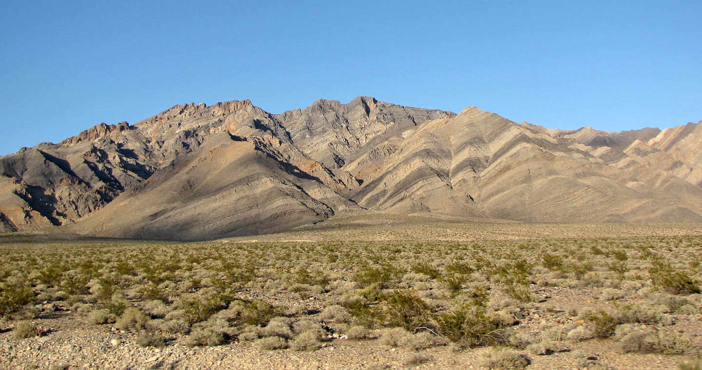
Parked at the trailhead: Pahrump Peak on the right
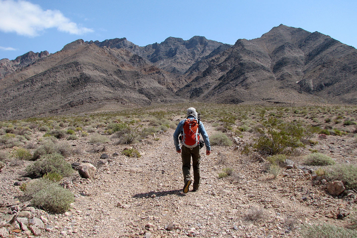
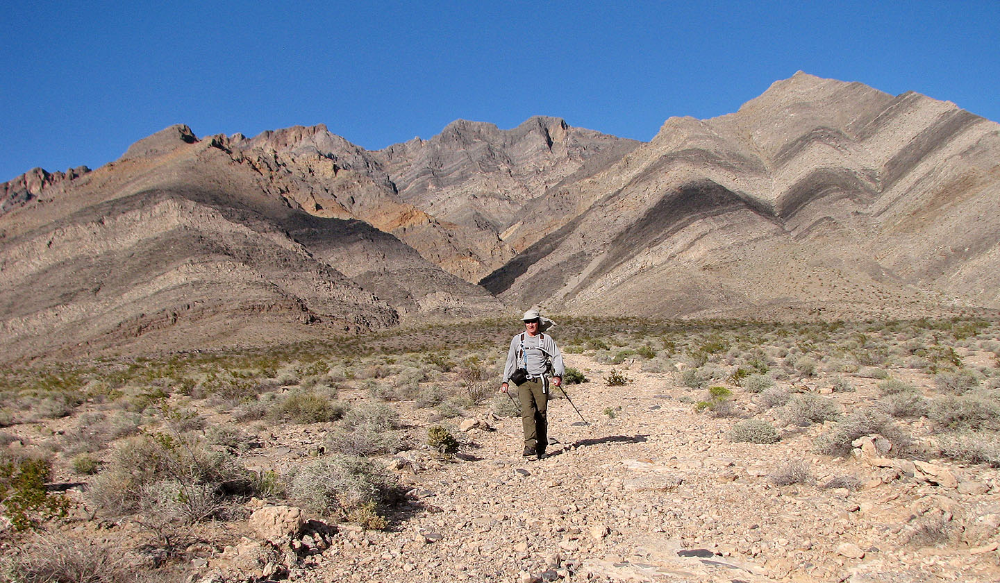
The road leads to a wash. The summit is above me.
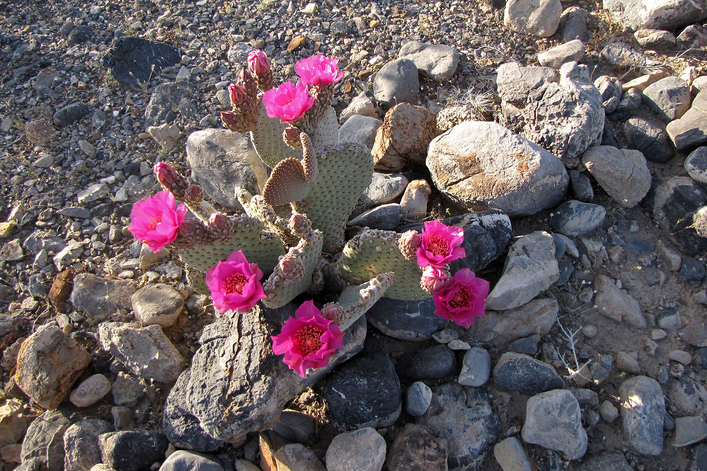
Beavertail cactus
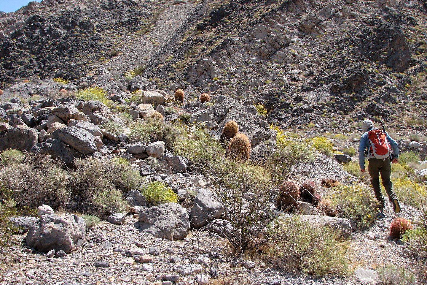
Plenty of barrel cacti here
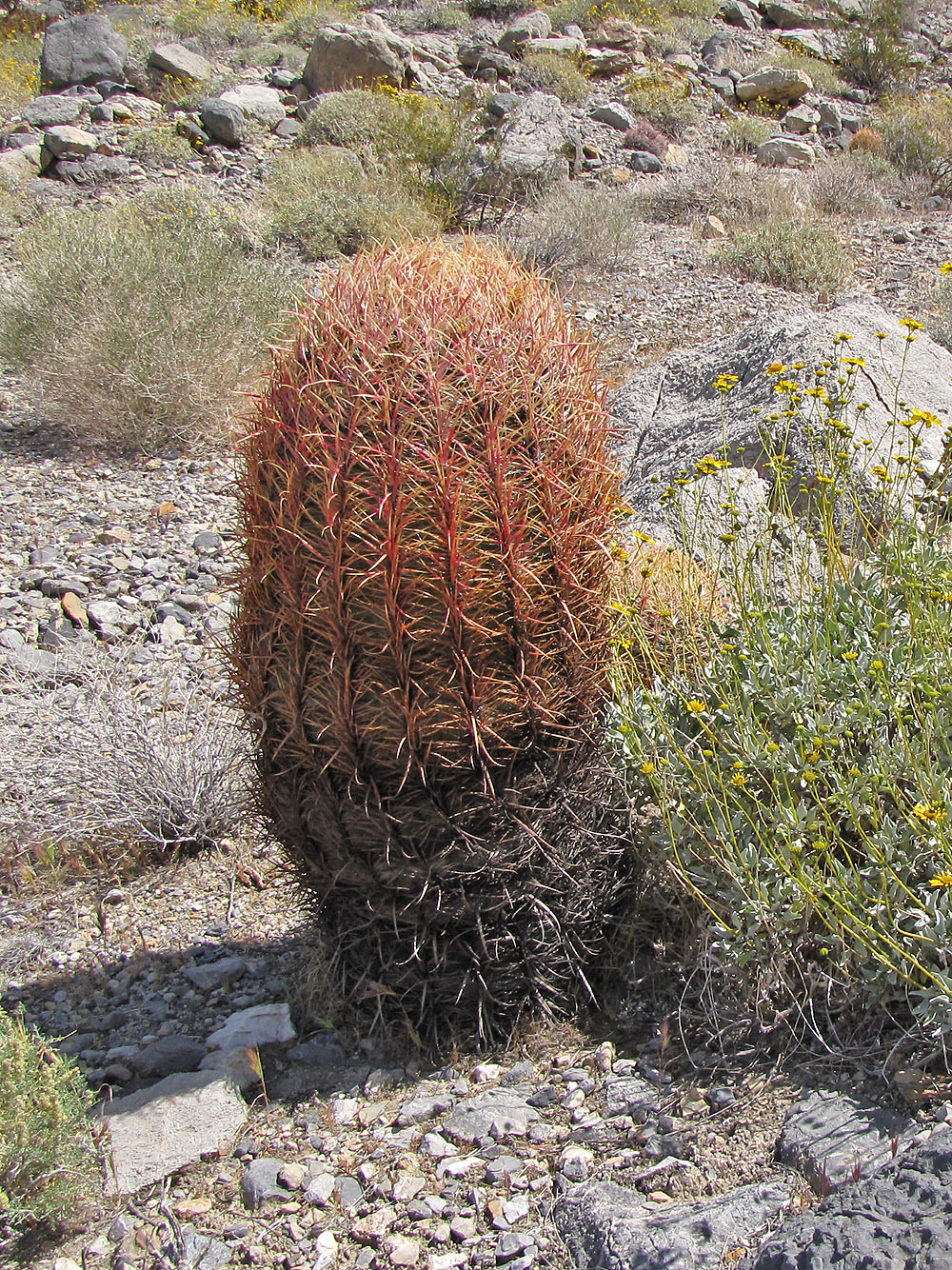
Closer look at a barrel cactus
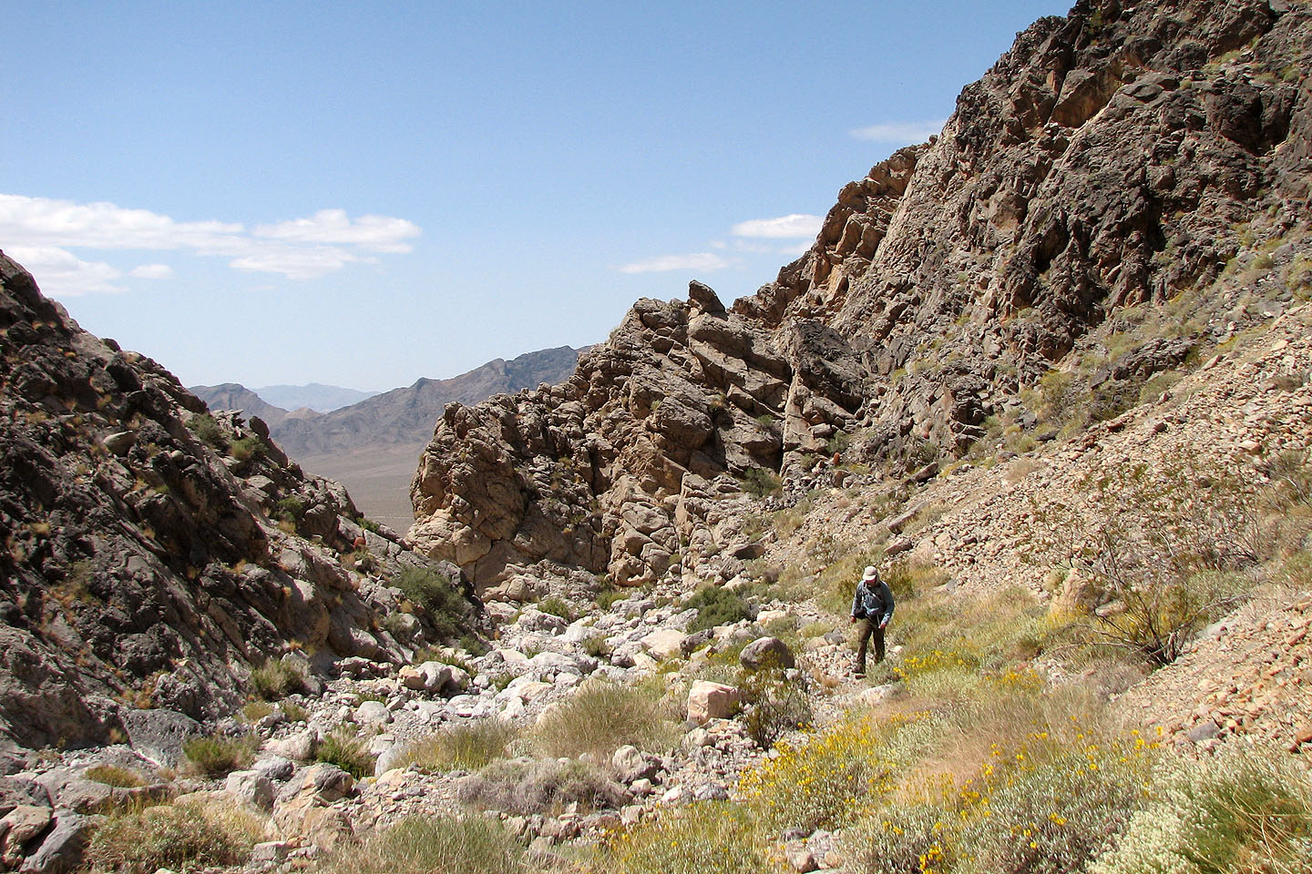
Entering the wash
Looking back
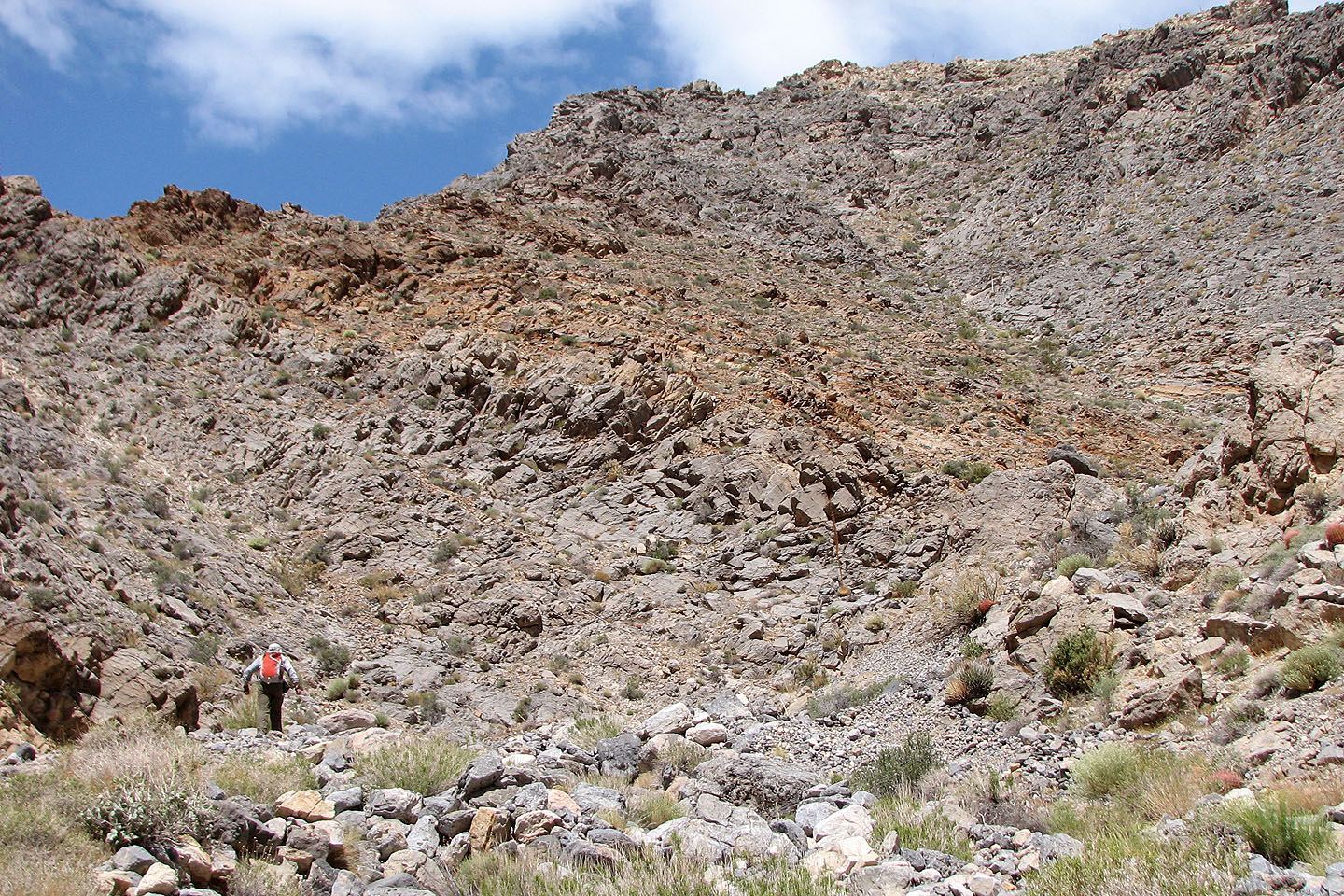
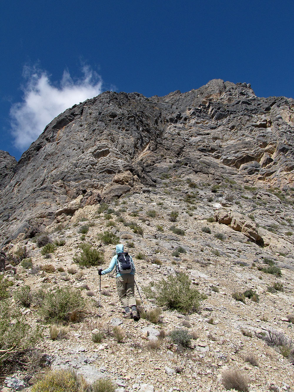
The grade starts off gentle
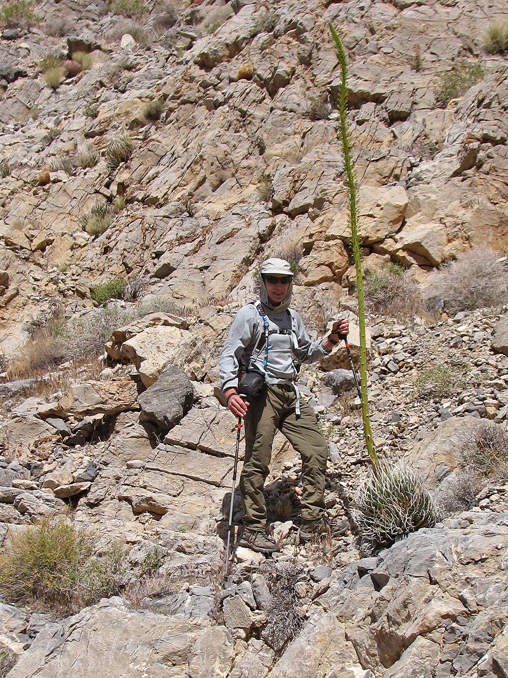
A Utah agave towers over me
The sides of the wash are rugged
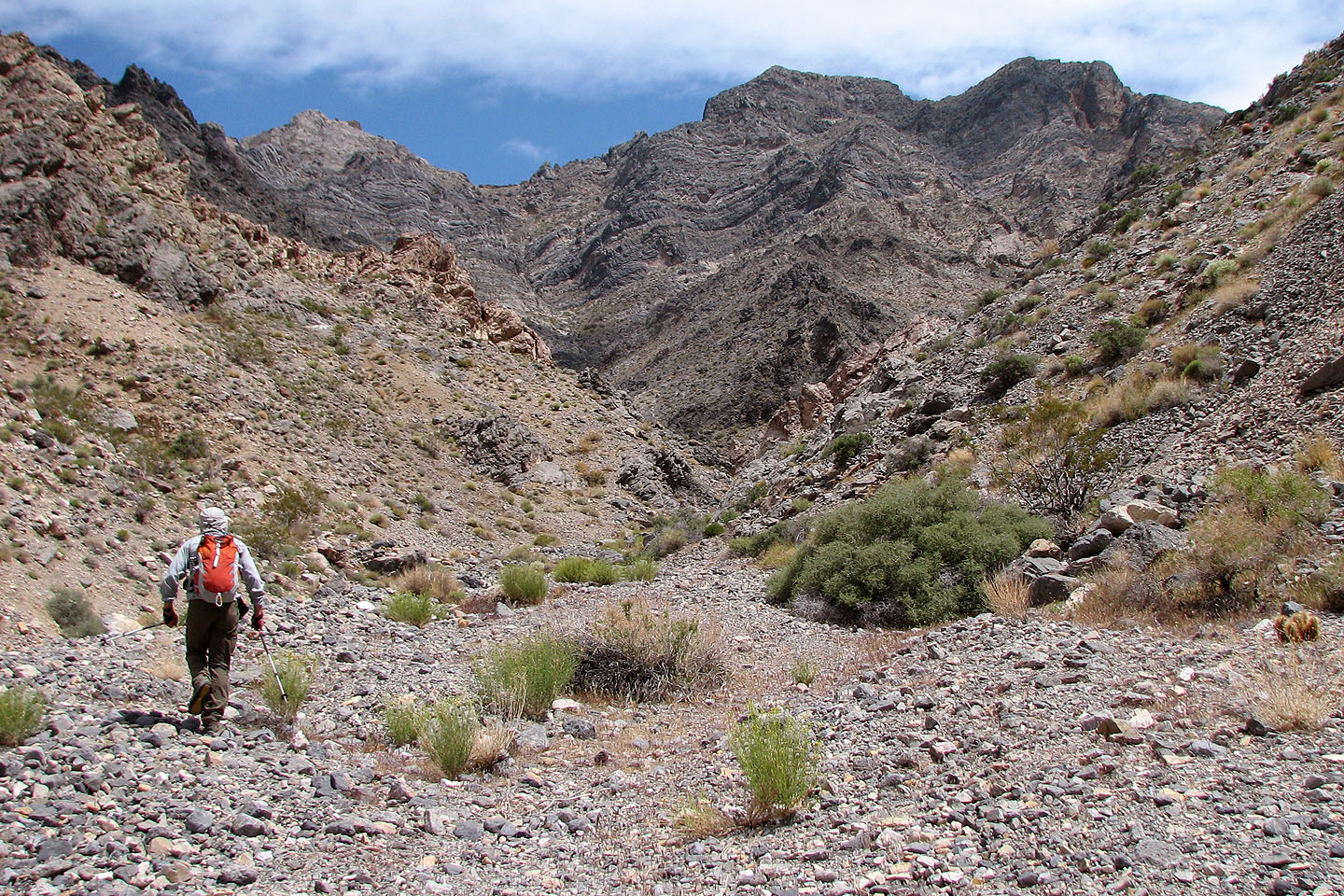
Except for this gravel flat, the wash is rocky
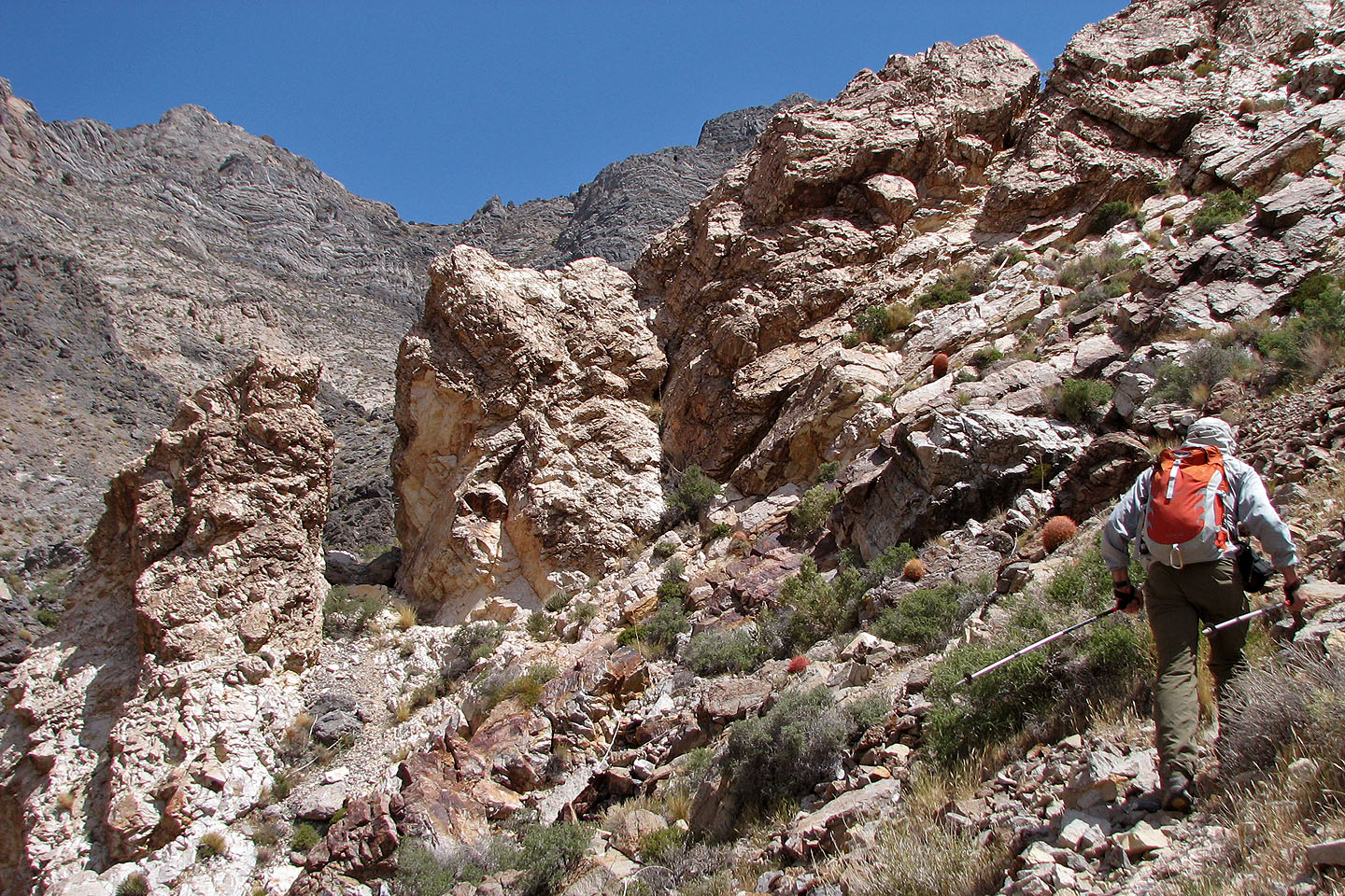
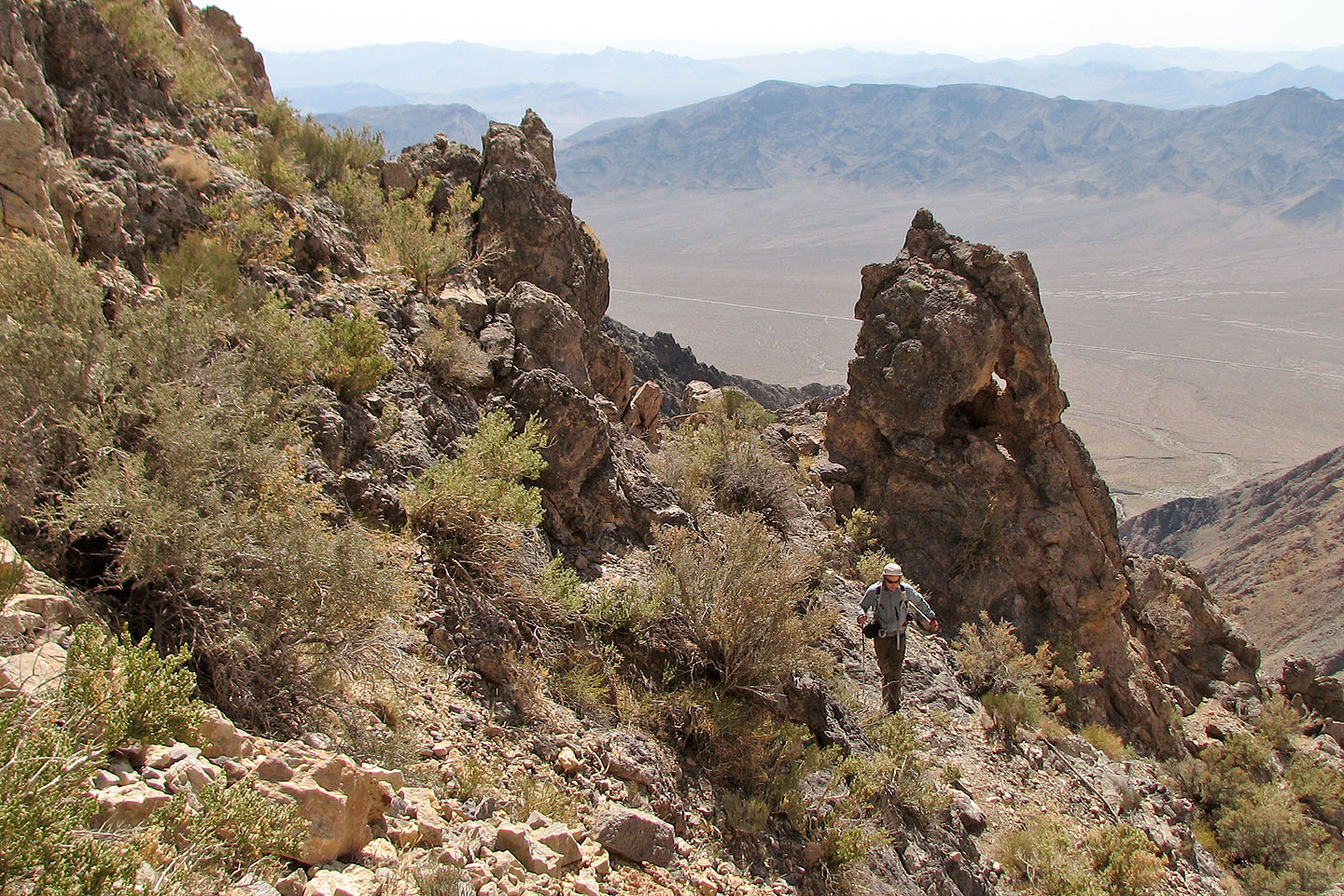
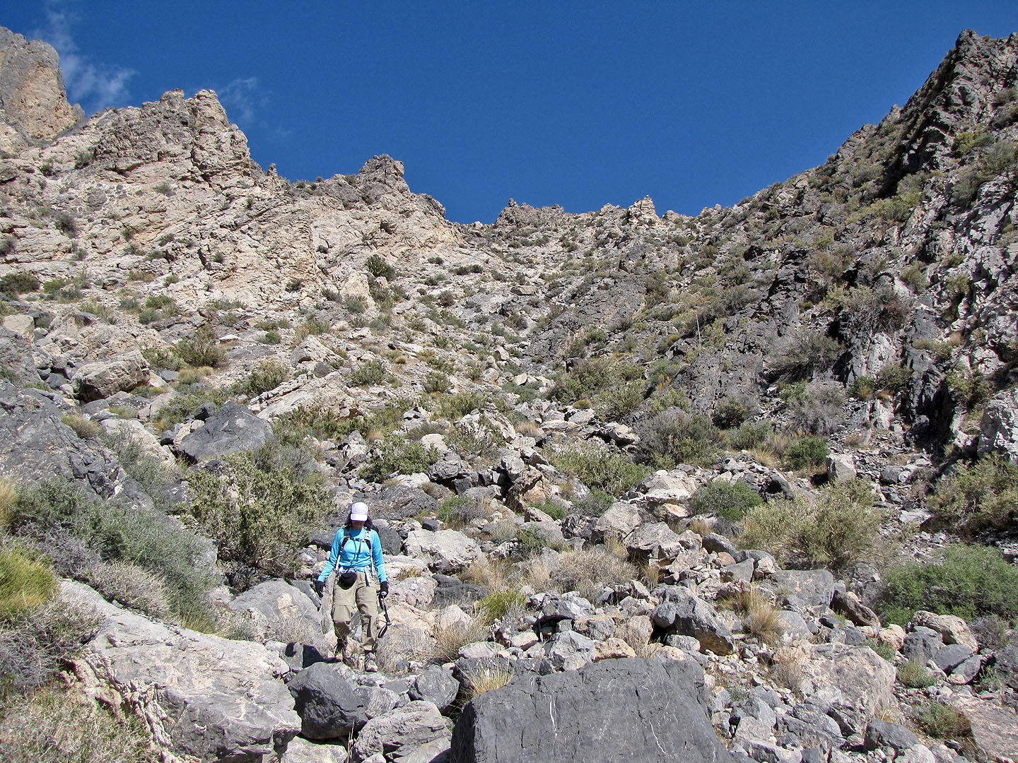
Reaching the first of two notches we went through
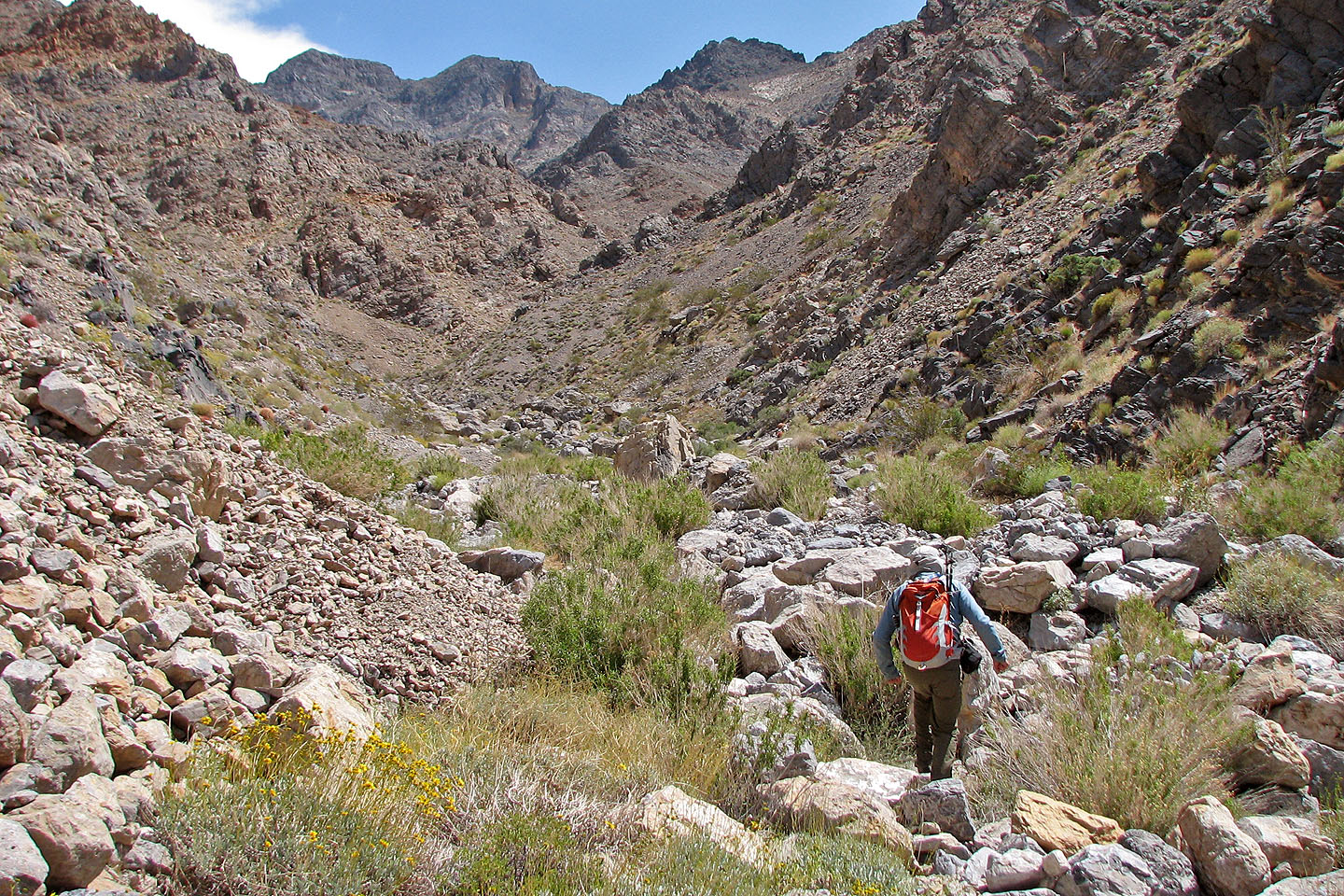
We left the wash and started climbing
The peak is still some distance away
Looking back as we climbed
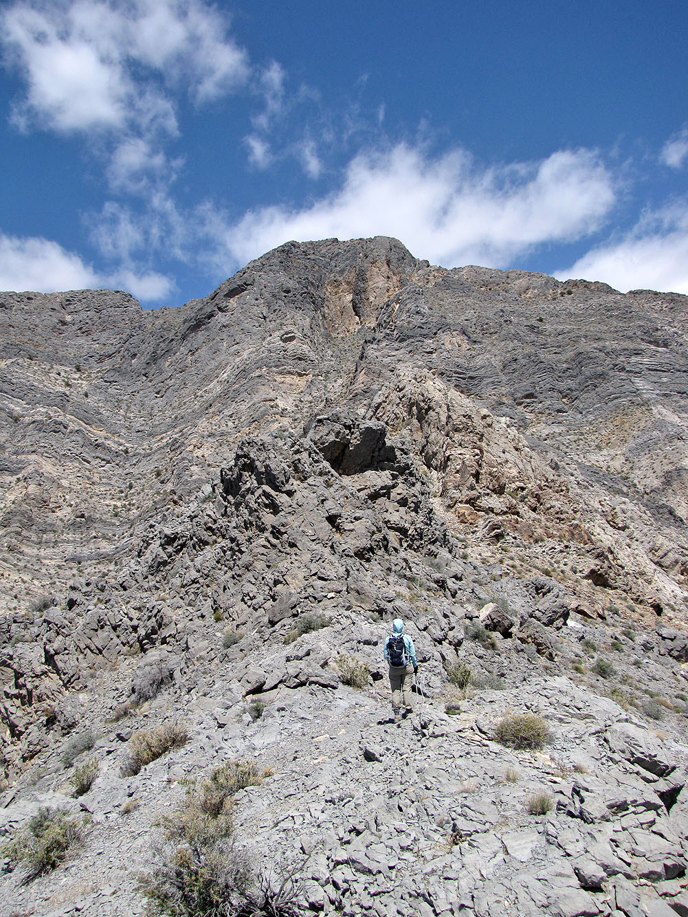
We reached the ridge with the summit above
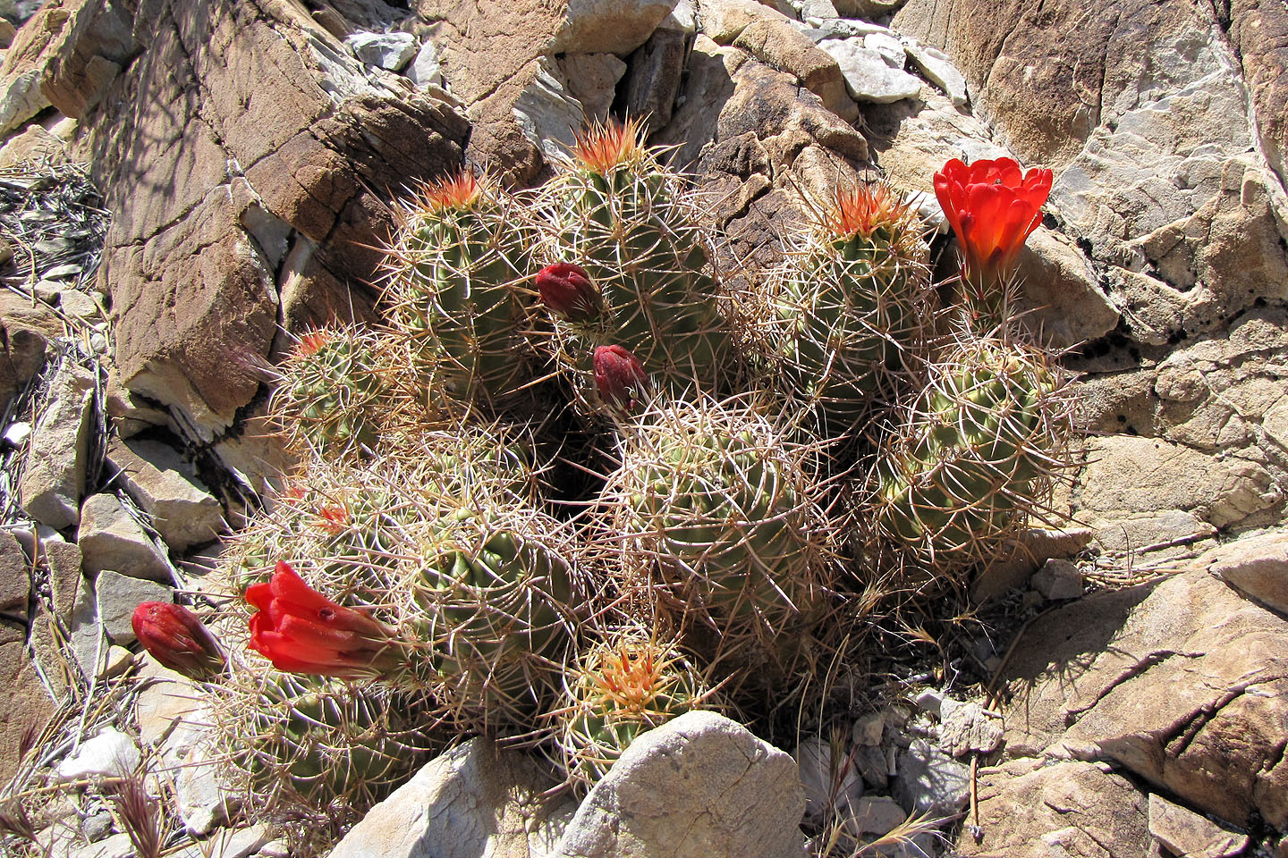
Hedgehog cactus (mouse over for a close-up of a flower)
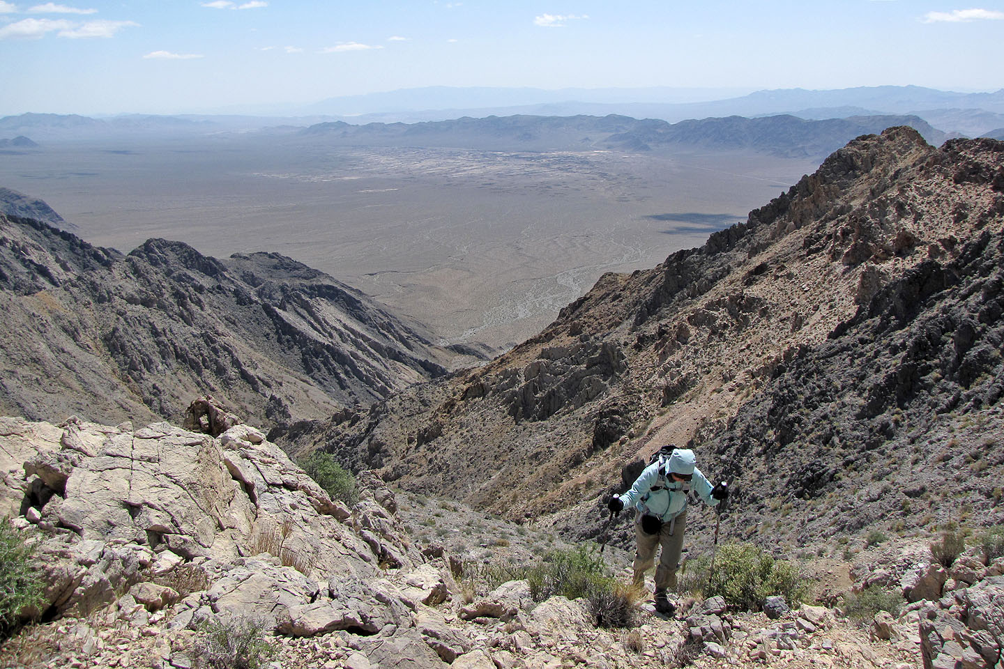
Chicago Valley below
Looking back
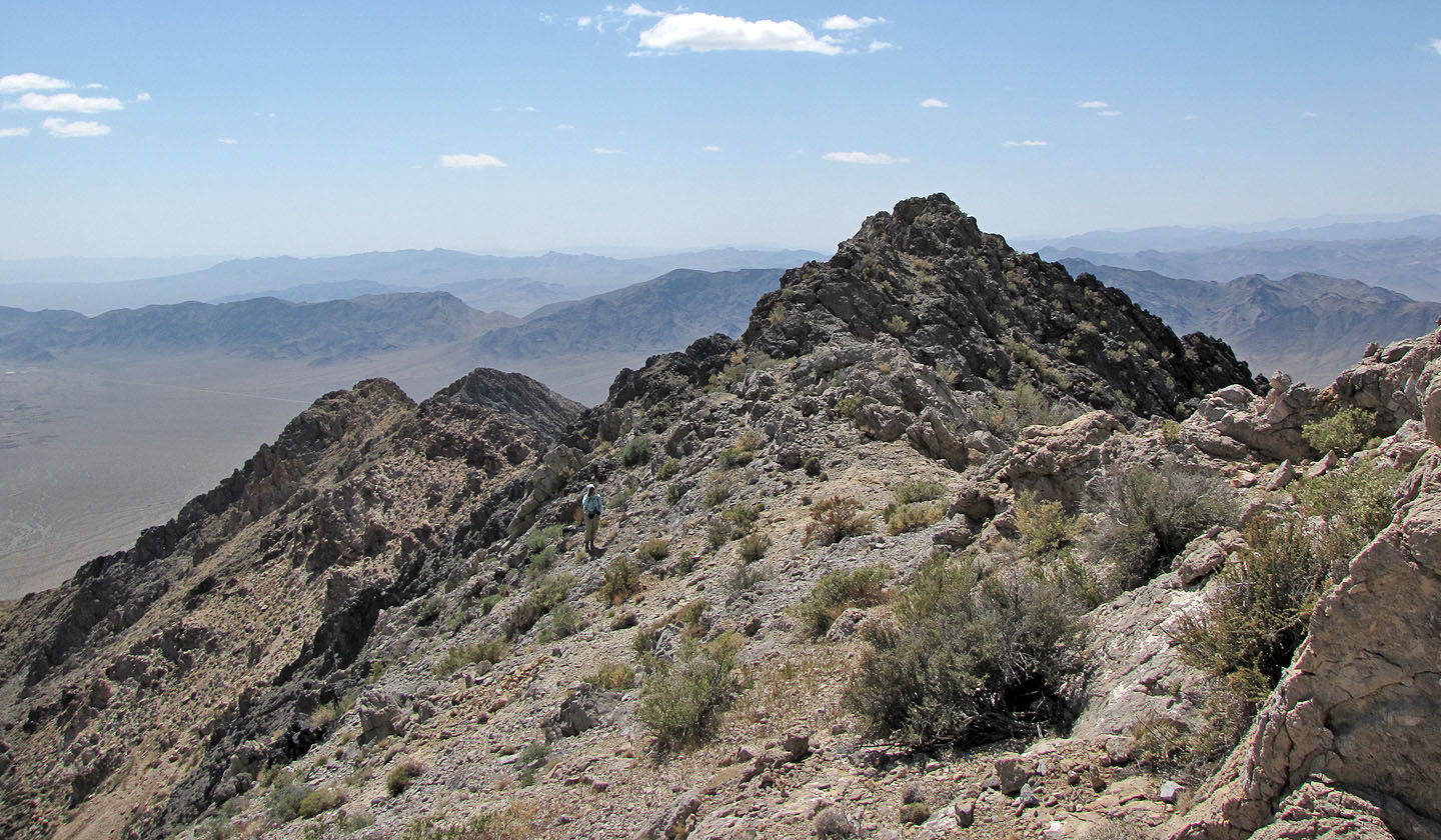
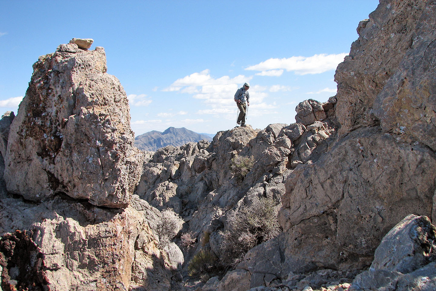
After skirting a rocky point we're back on the ridge crest
Steep rock ahead
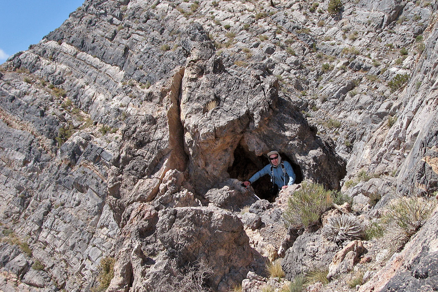
In a cave at the second notch
Looking back at the second notch
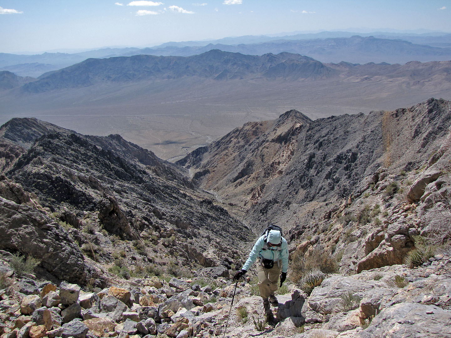
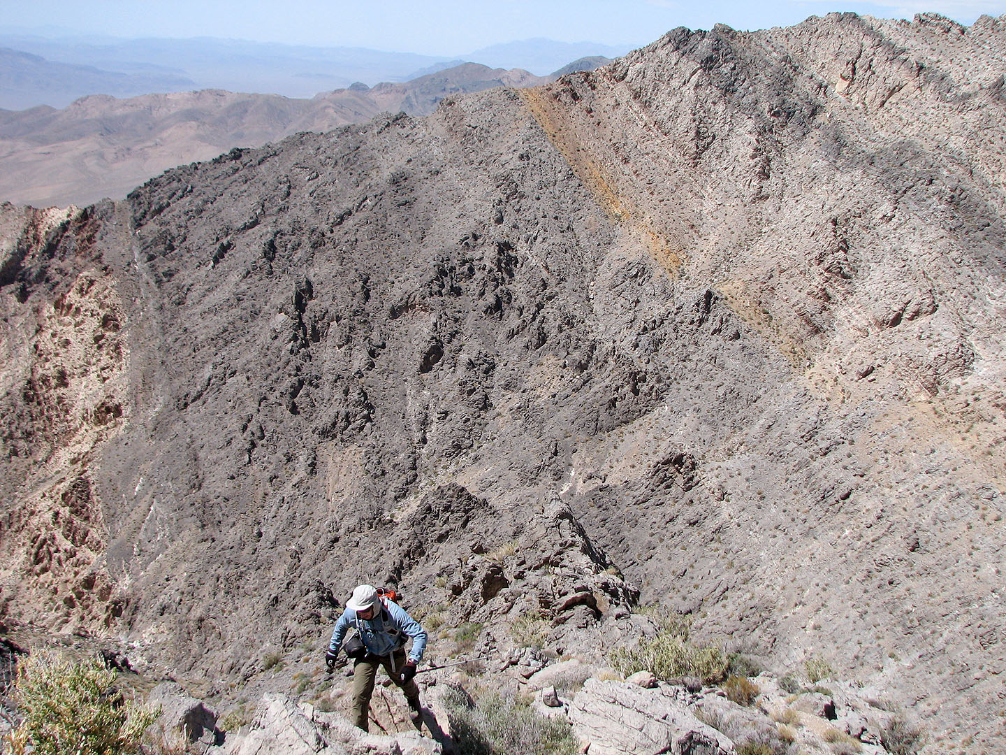
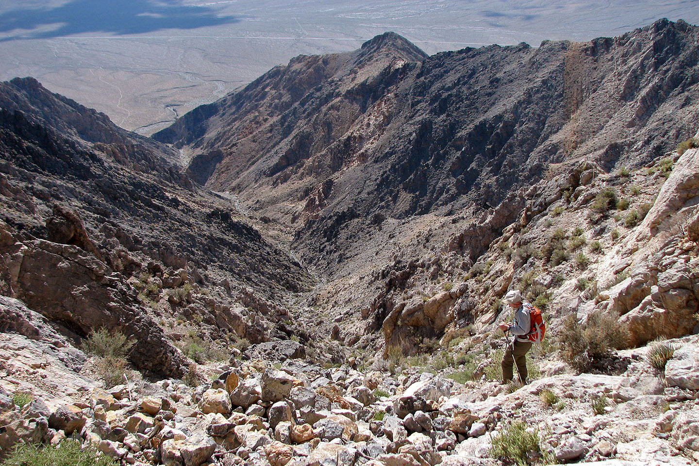
Dinah tops out after ascending a gully after the second notch
Below is the wash we hiked up
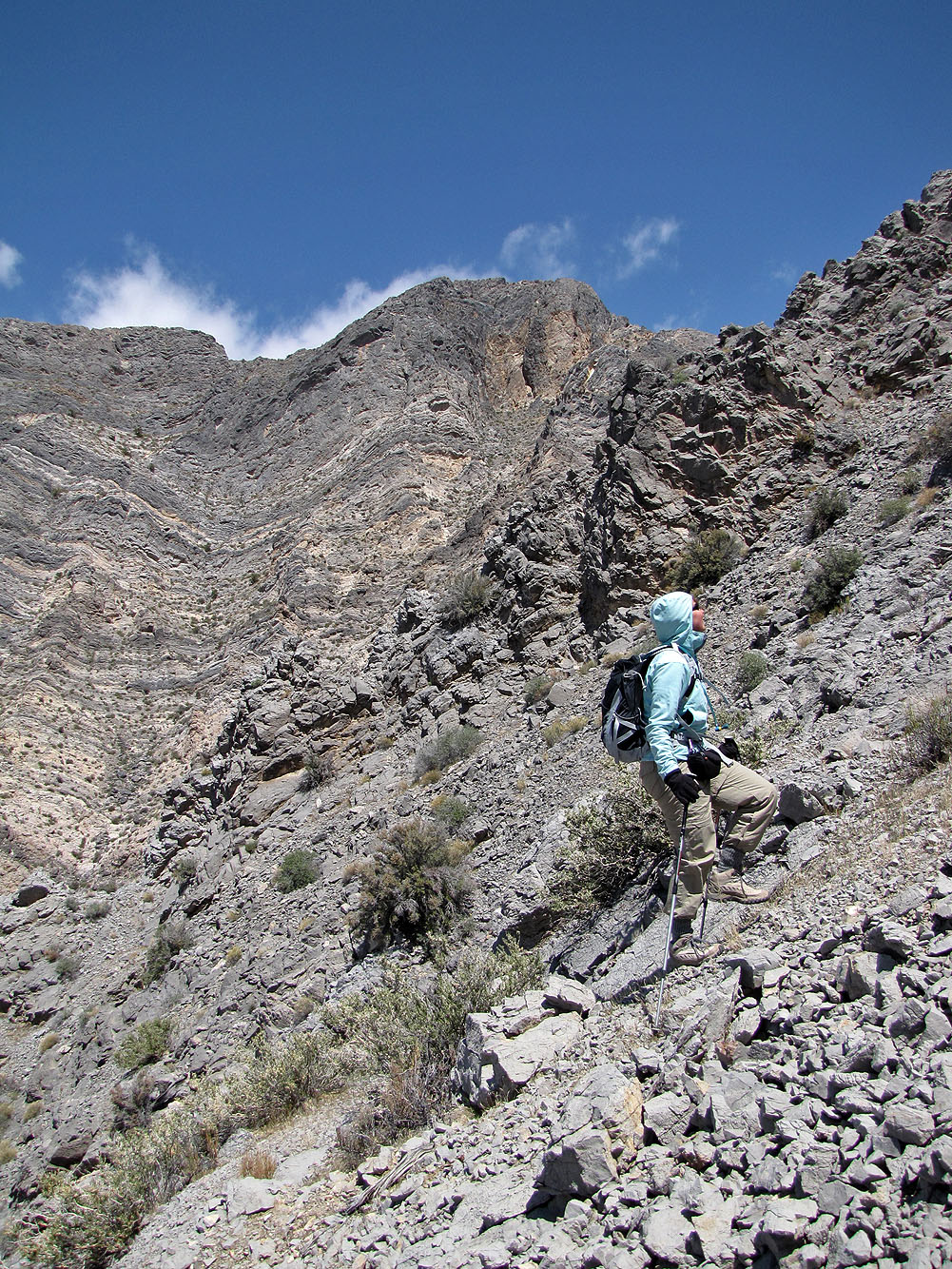
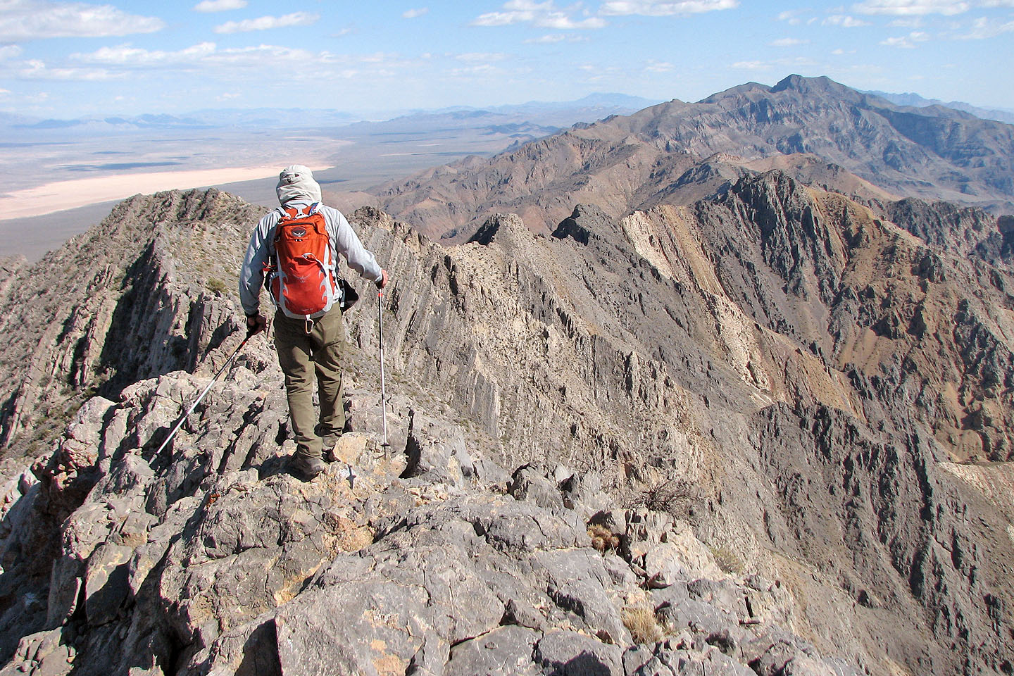
On the summit ridge
Mount Charleston and Griffith Peak on
the left (mouse over for a close-up)
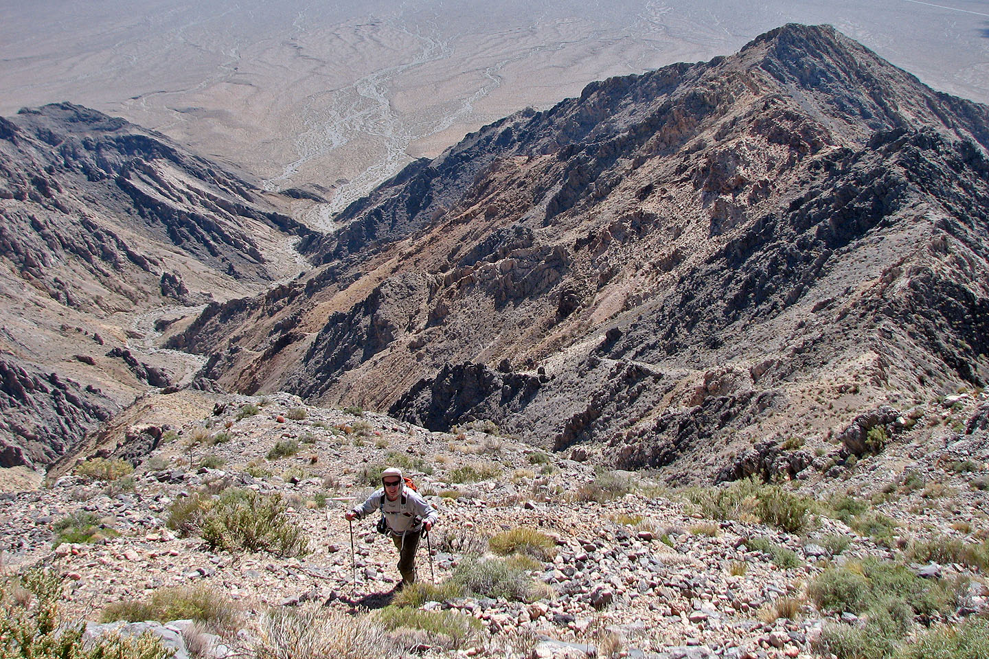
The summit ridge was longer than we expected
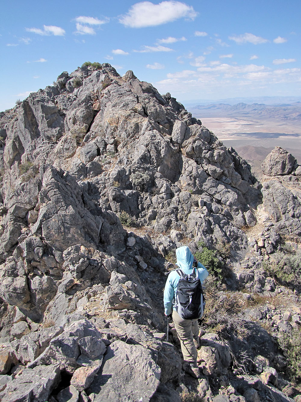
The summit is ahead
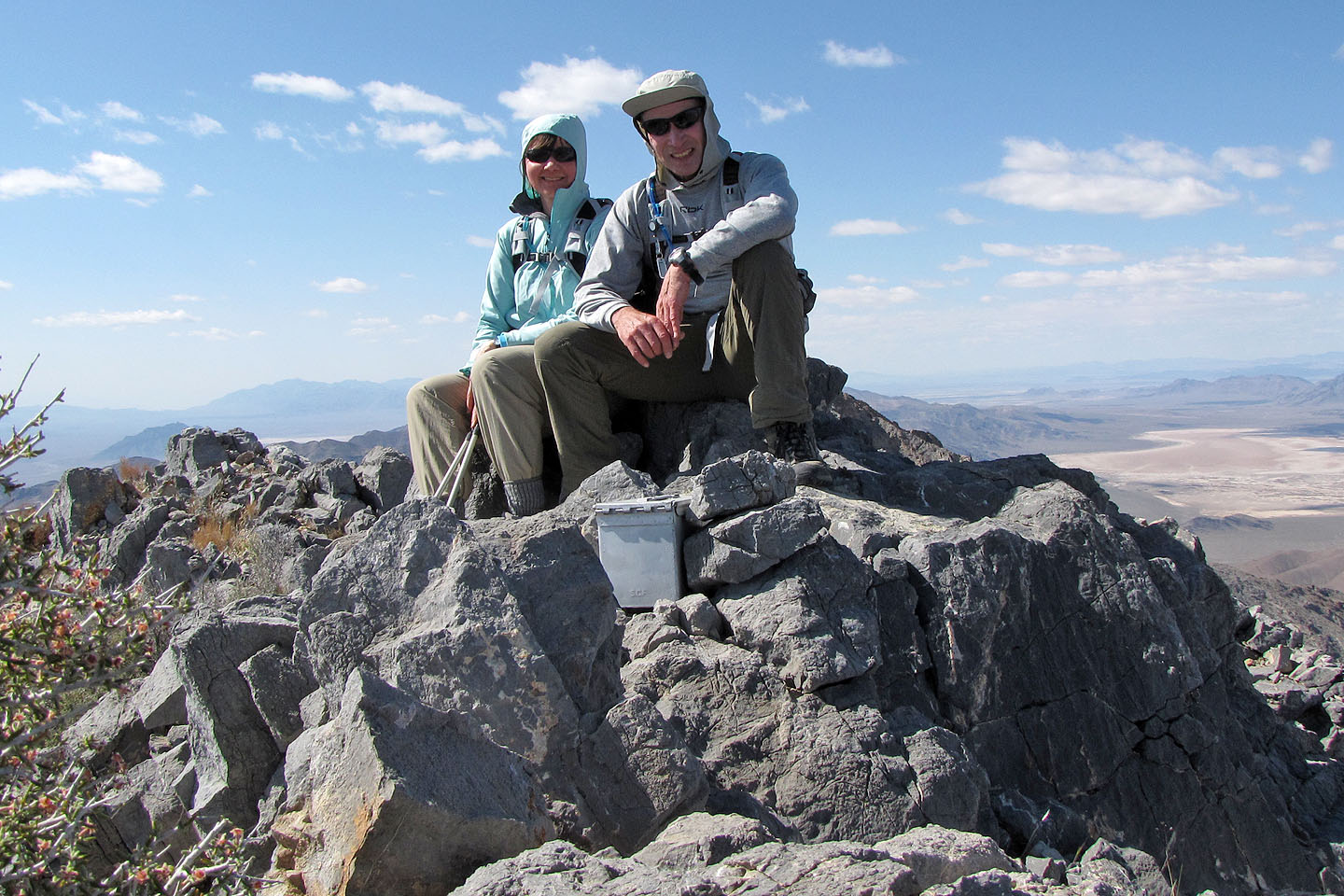
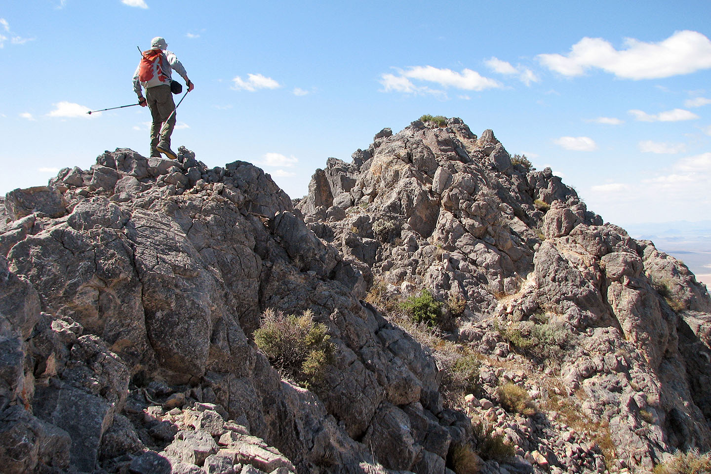
On top!
Heading back along the ridge. Nopah Point on the right (mouse over for a close-up).
A rough trail led back down to the wash
Heading back to the wash
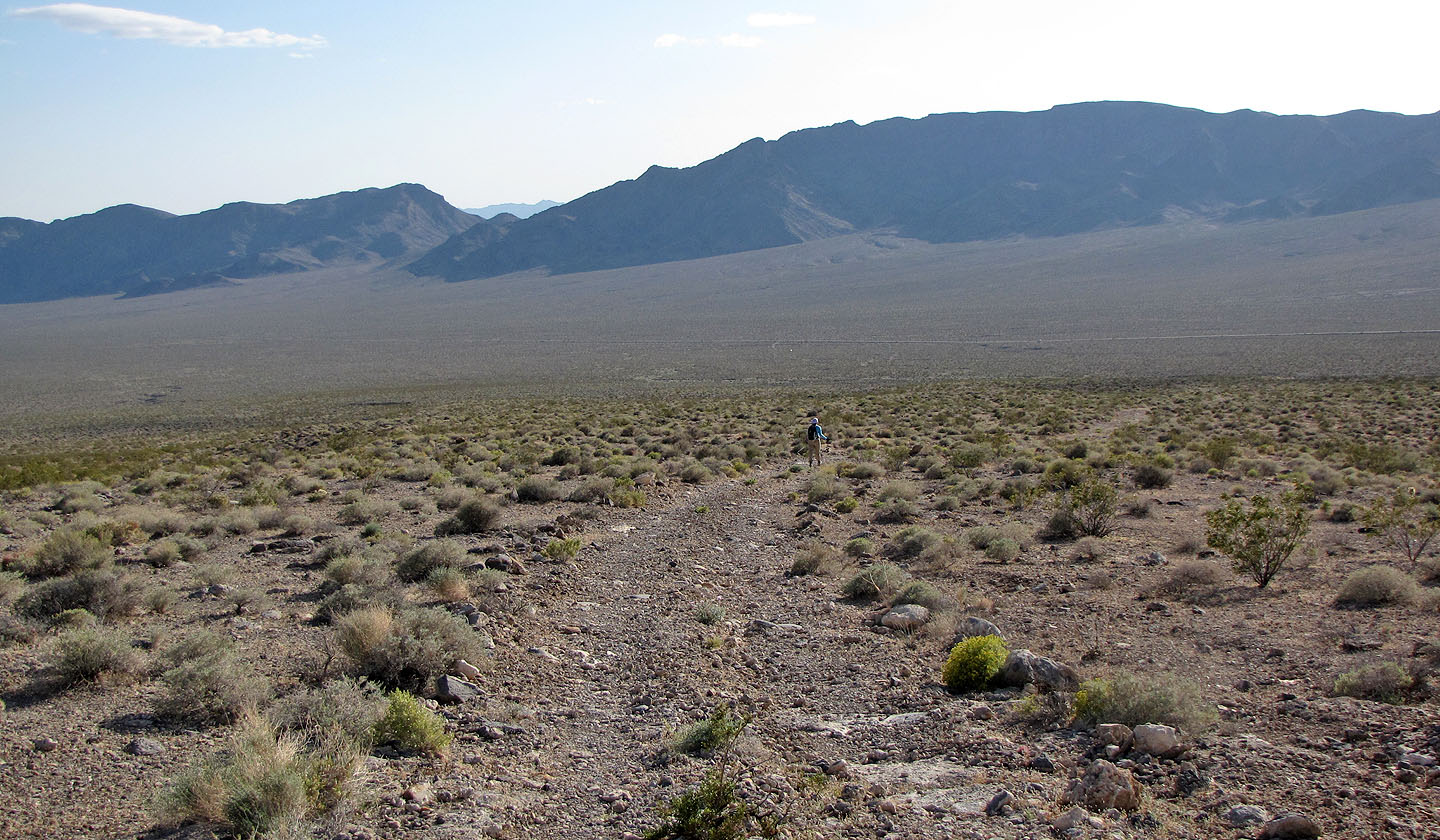
Long walk back to the car
Looking back at Pahrump Peak
Last look at the mountain as we drive down the highway
Twelvemile Spring (7.3 mi, 5728 ft, 3297 ft)