bobspirko.ca | Home | Canada Trips | US Trips | Hiking | Snowshoeing | MAP | About
Daylight Peak
Death Valley, California
September 23, 2012
Distance: 3.3 km (2.1 mi)
Cumulative Elevation Gain: 380 m (1247 ft)
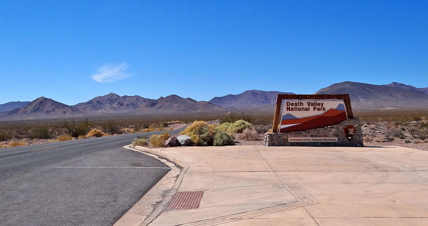
Daylight Peak is a lightweight mountain that delivers substantial views, and since it starts high up at 1300 m, it offers cooler temperatures than the Death Valley floor. Even so, it was 32°C (89°F) when Dinah and I set off at noon.
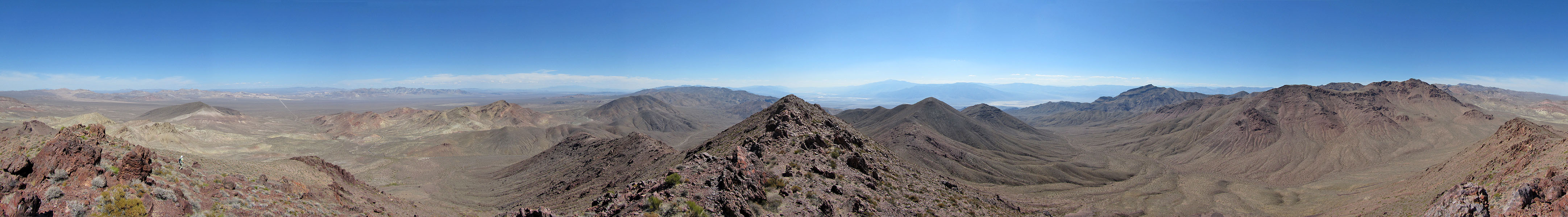
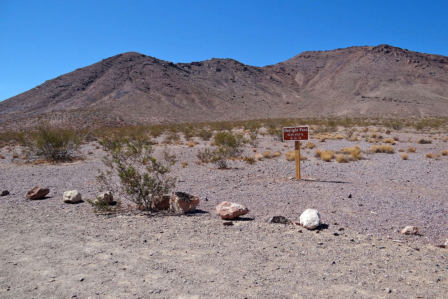
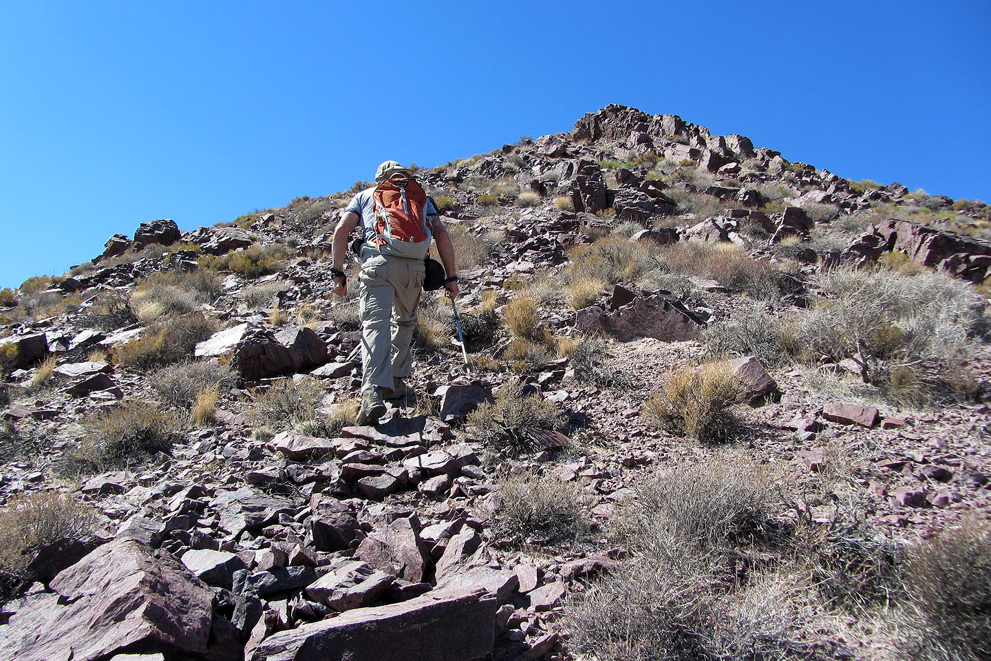
We were looking for a short climb to break up the three-hour drive from Las Vegas to Stovepipe Wells in Death Valley, and Daylight Peak fit the bill. It's about half an hour from Beatty, Nevada, which, in turn, is two hours west of Las Vegas. If you can find your way to Daylight Pass on Highway 374, then you should have no trouble finding your way up Daylight Peak. The mountain can be ascended just about anywhere from the pass, but to make the most of it, we followed the east ridge to the summit and then descended the east slopes. Rock outcrops along the ridge made the trip more interesting than a mere walk-up, while the Funeral Mountains to the east and the Panamint Range to the west caught our attention. And below, of course, was central Death Valley.
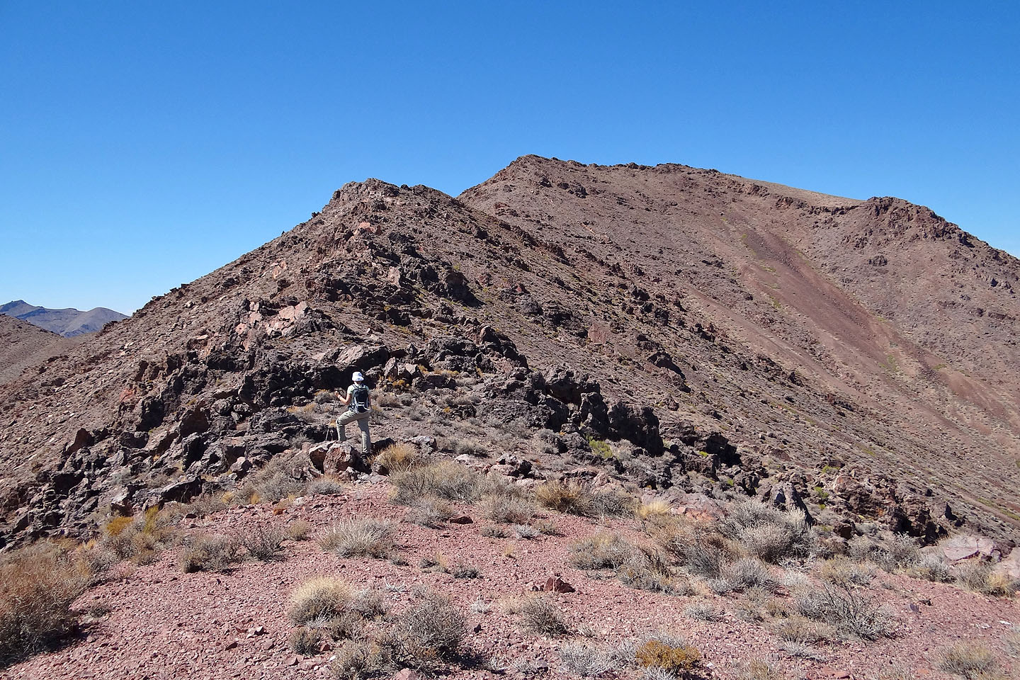
Daylight Peak is in the centre
We followed the ridgeline from left to right. The summit is on the right, in the back (mouse over
for a close-up).
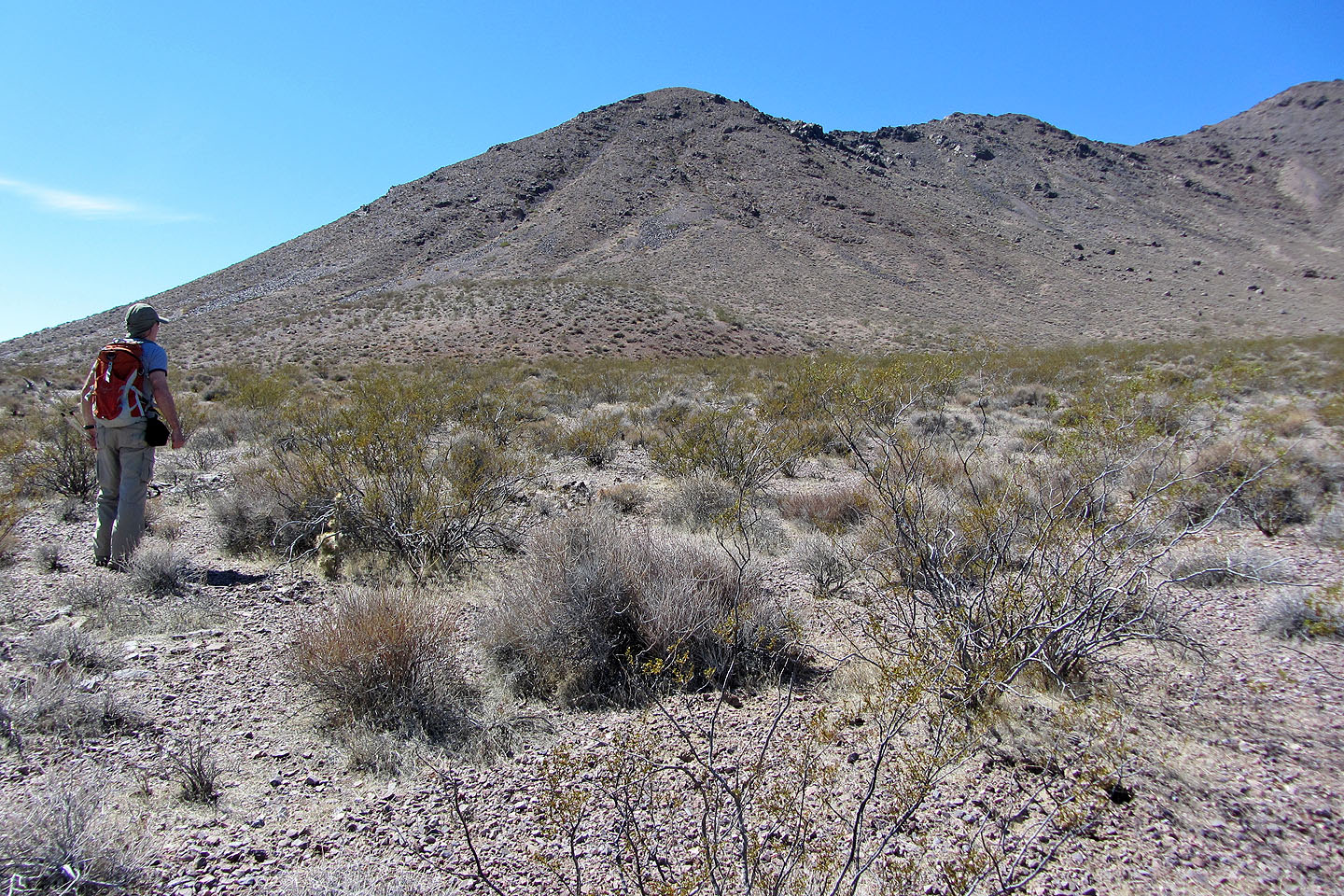
Crossing the desert flats to reach the ridge
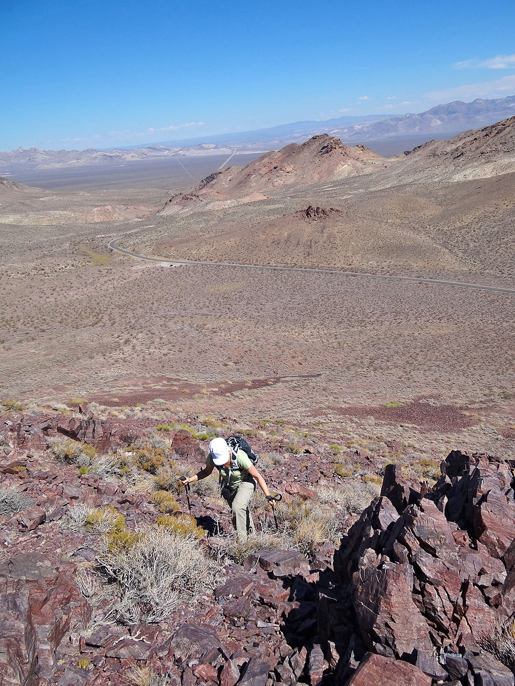
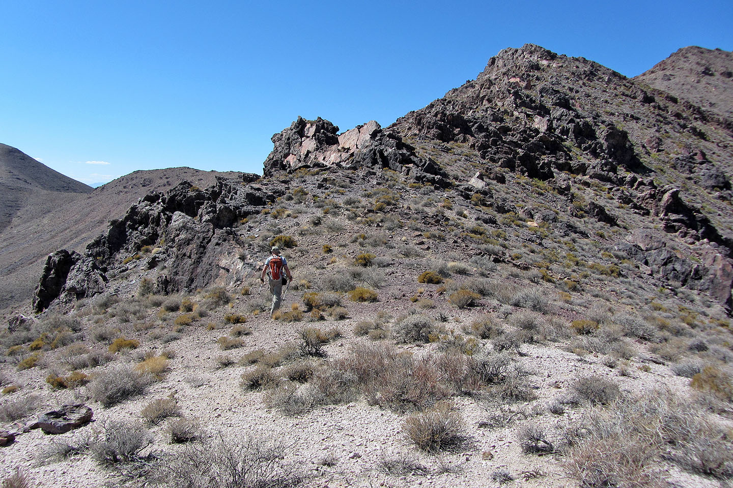
On the ridge
Looking back you can just make out our black SUV in the parking lot
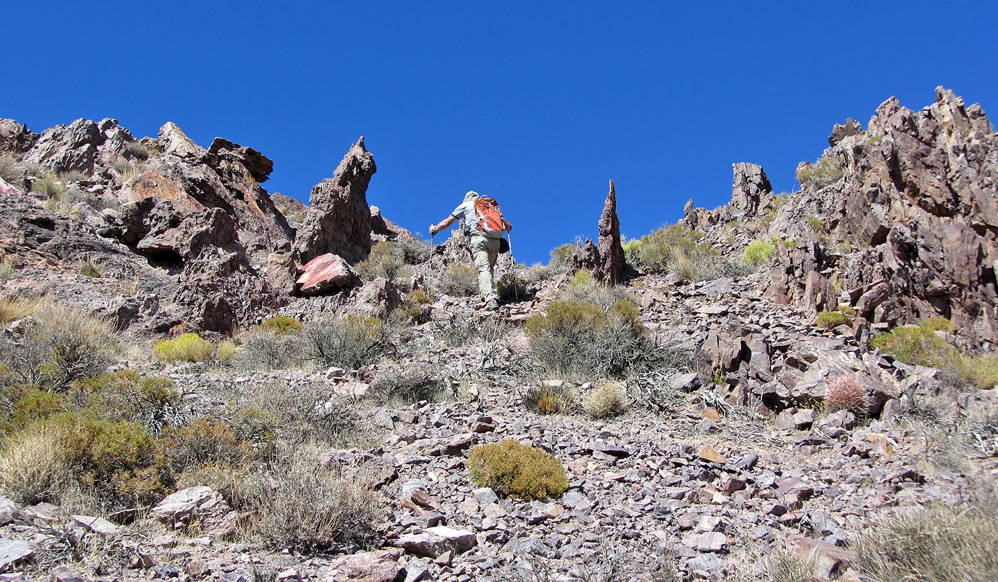
Small pinnacles are scattered along the ridge
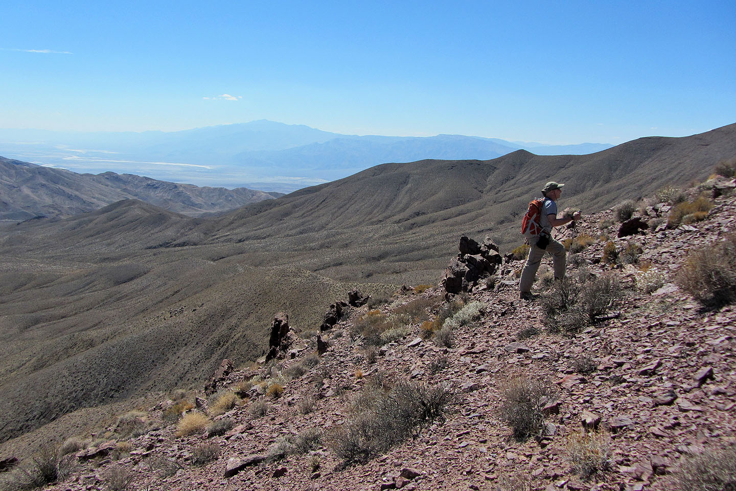
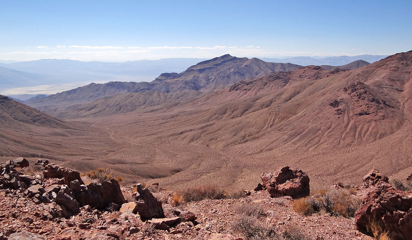
Telescope Peak appears hazy on the skyline
Intriguing terrain lays ahead
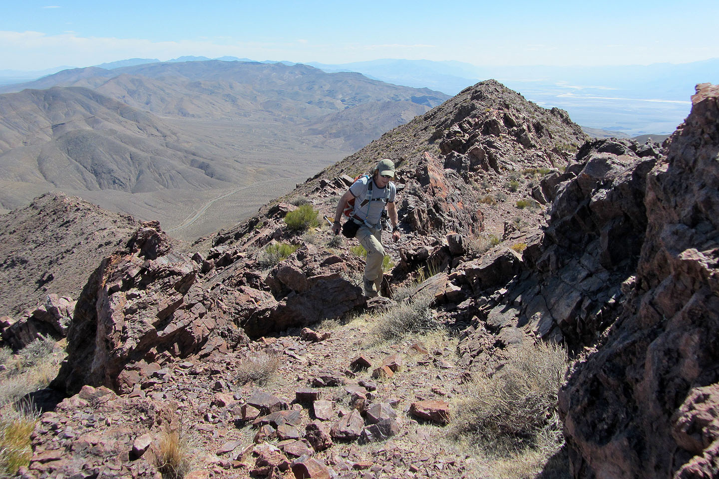
We easily climbed over or around rock outcrops along the ridge
Regaining the ridge
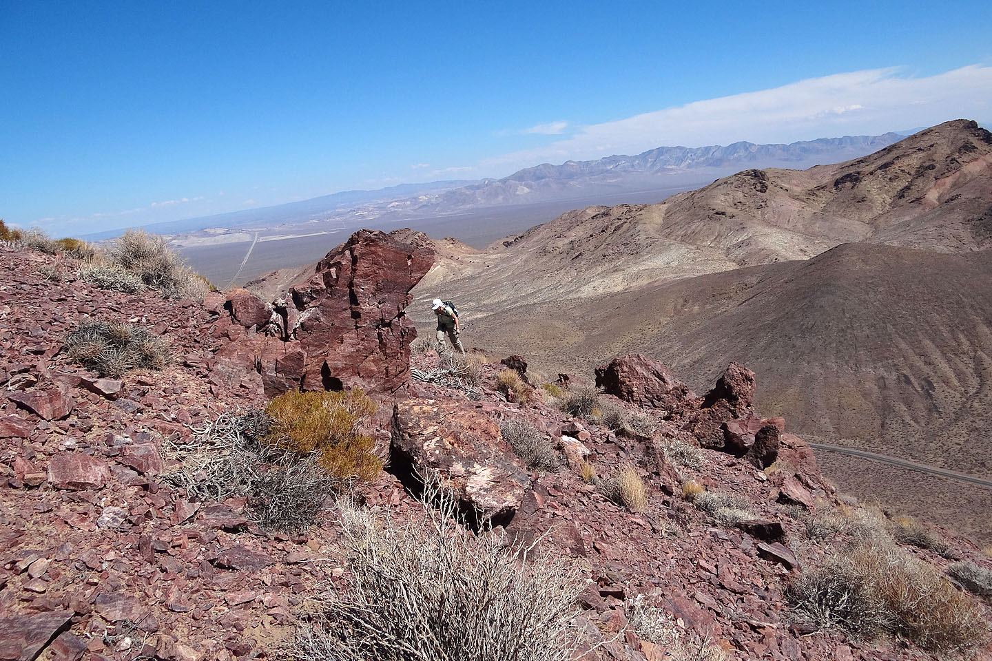
Funeral Mountains to the south
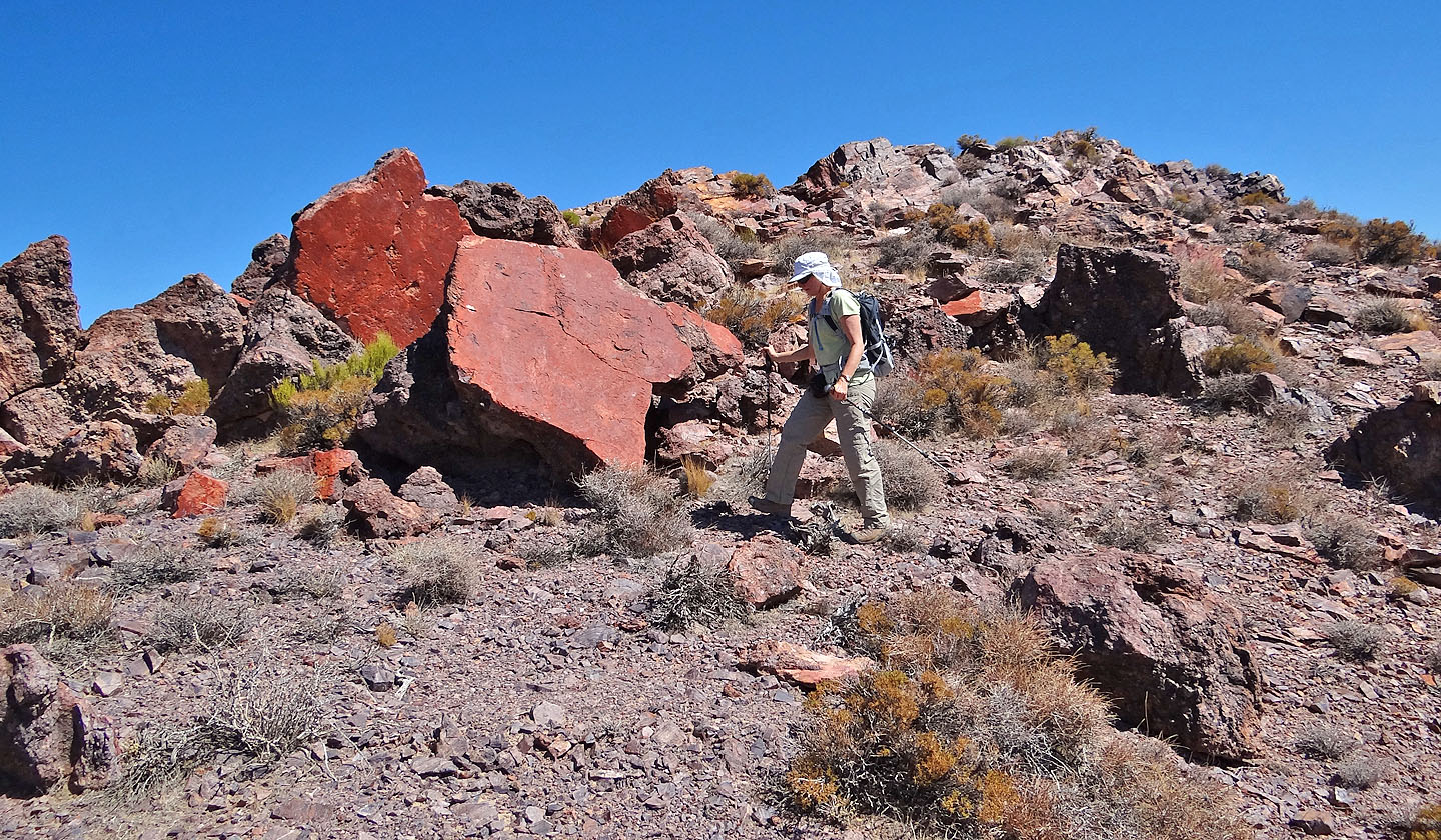
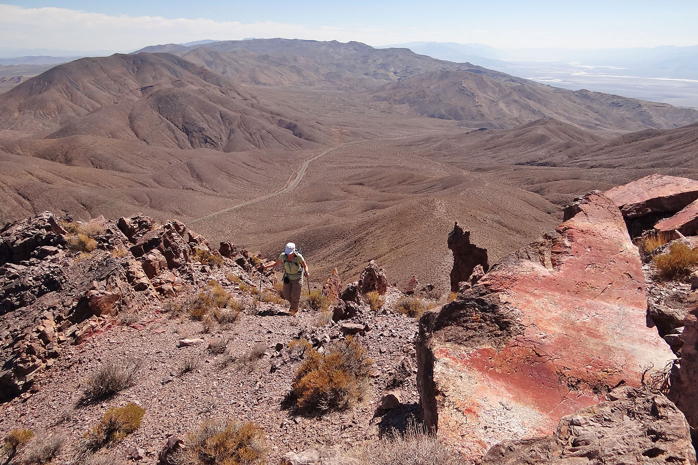
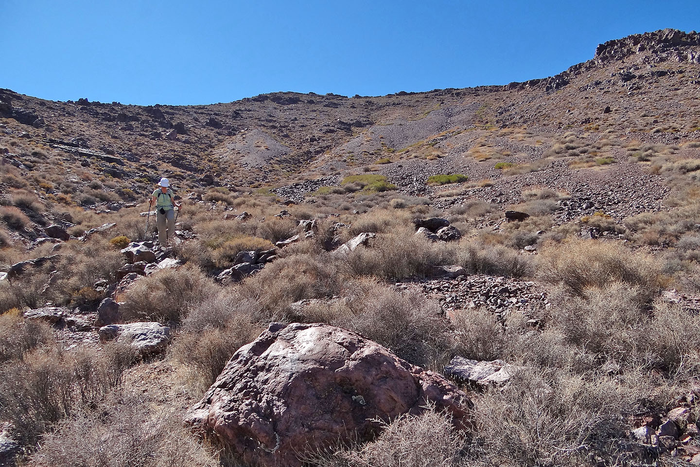
Dinah passes bright red rocks
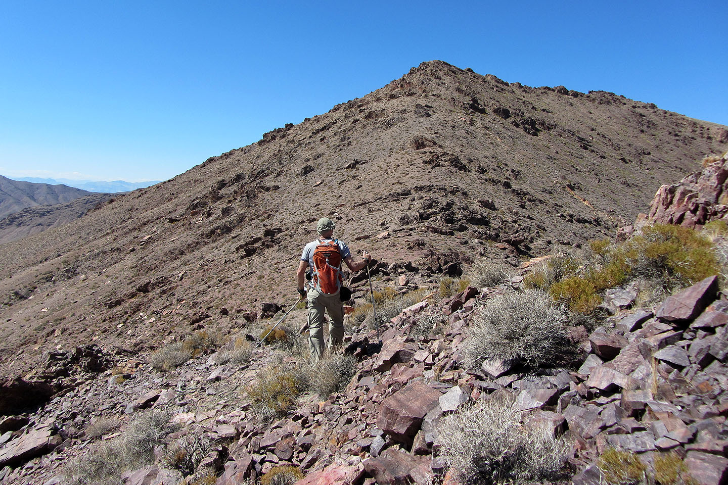
False summit ahead
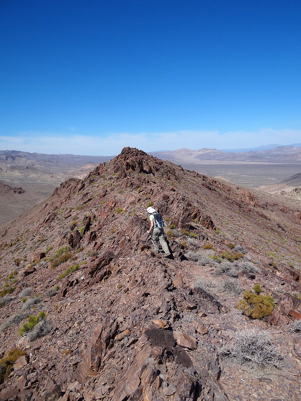
Heading to the true summit from the false summit
Last steps to the summit
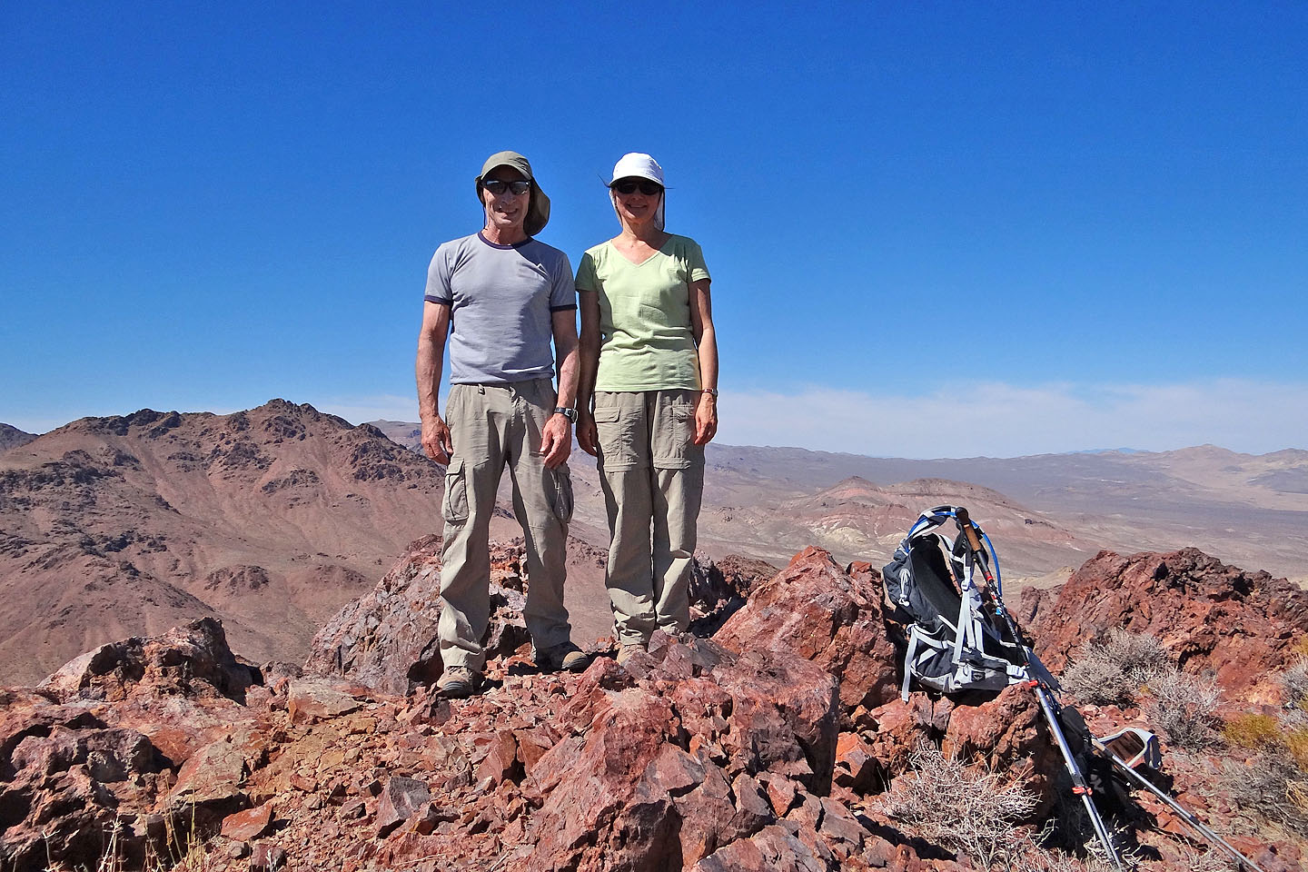
On top of Daylight Peak
Corkscrew Peak to the west (mouse over for a close-up)
Coming down
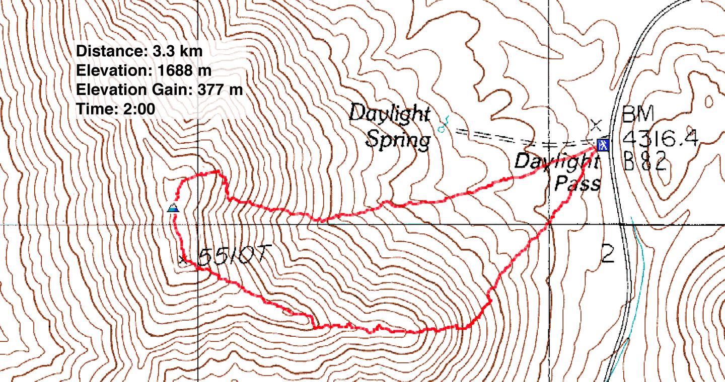
Daylight Pass (2.1 miles, 5538 ft, 1237 ft)