bobspirko.ca | Home | Canada Trips | US Trips | Hiking | Snowshoeing | MAP | About
Corkscrew Peak
Death Valley, California
April 20, 2009
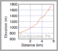
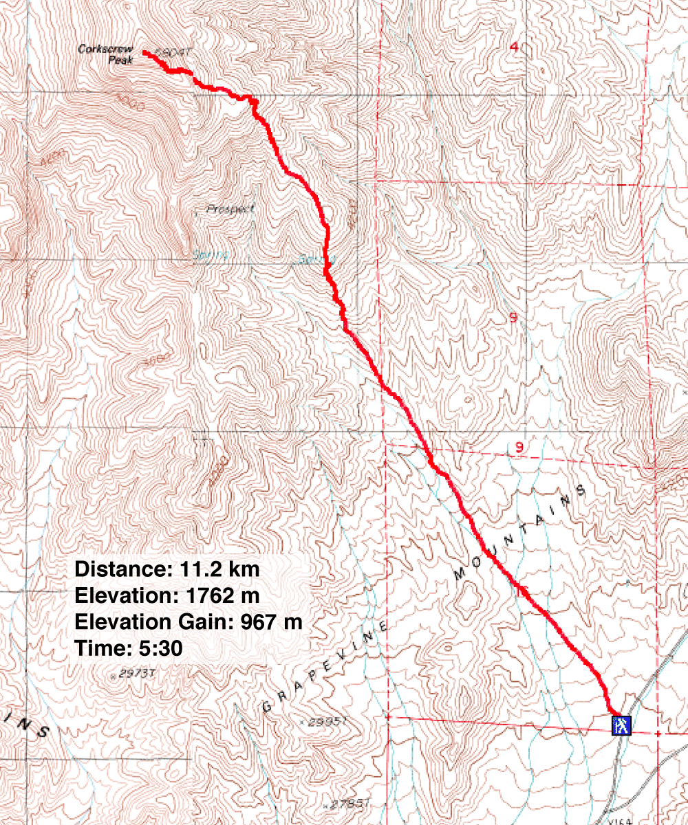
Distance: 11.2 km (7.0 mi)
Cumulative Elevation Gain: 970 m (3182 ft)
In search of peaks to do near Las Vegas I was intrigued when I came across Corkscrew Peak on Summitpost. I was attracted to climbing a peak in Death Valley. Summitpost didn't provide a route description, but I was able to Google a route for it. Good thing, as I had read about a party who didn't make it to the summit. They followed a canyon and became “rim walled": they hit a dead end.
After parking on the side of the road, Dinah and I set off up the trail and immediately became immersed in our surroundings: lizards, flowering cacti, huge beetles and striking, colourful flowers everywhere.
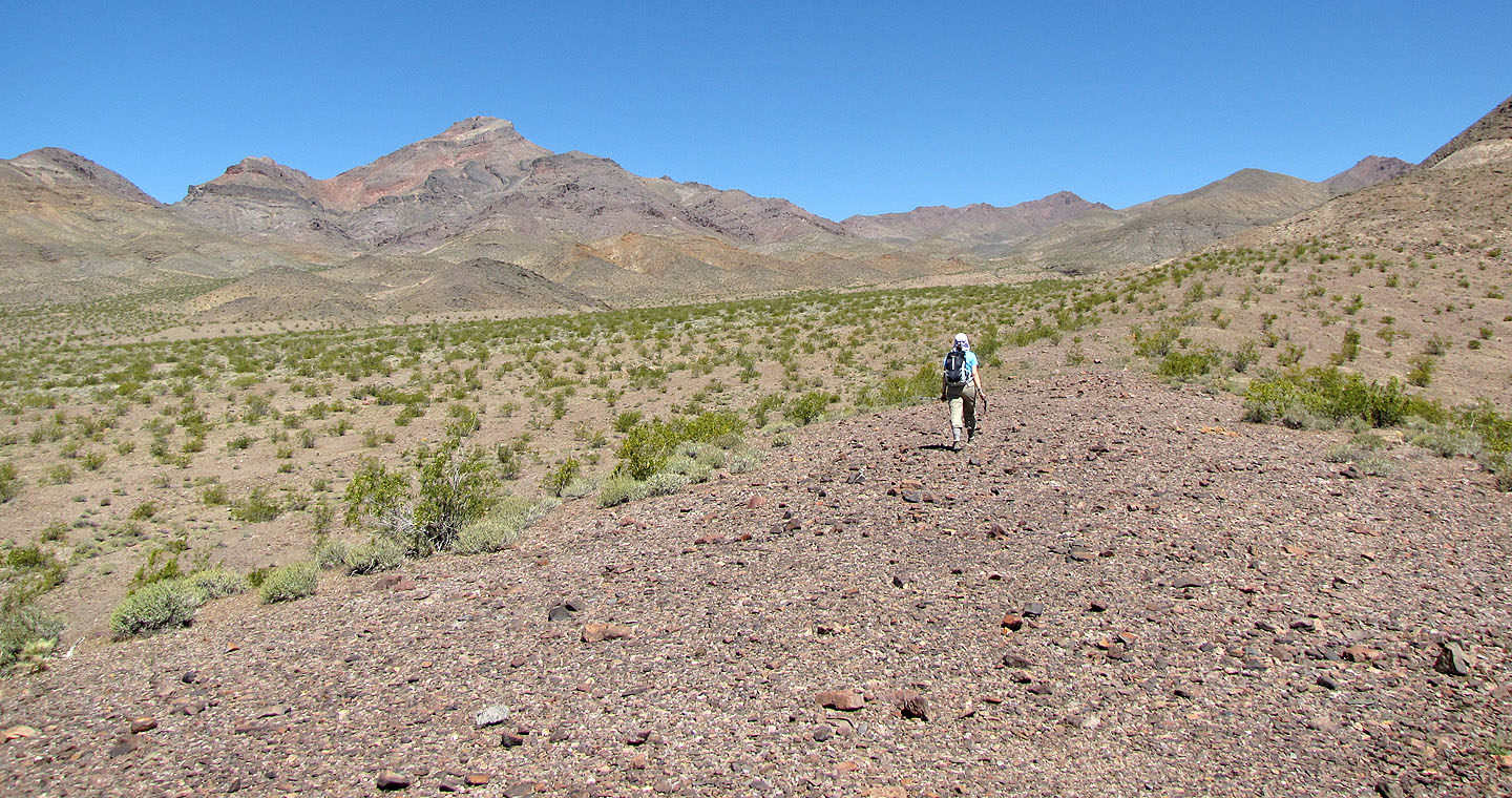
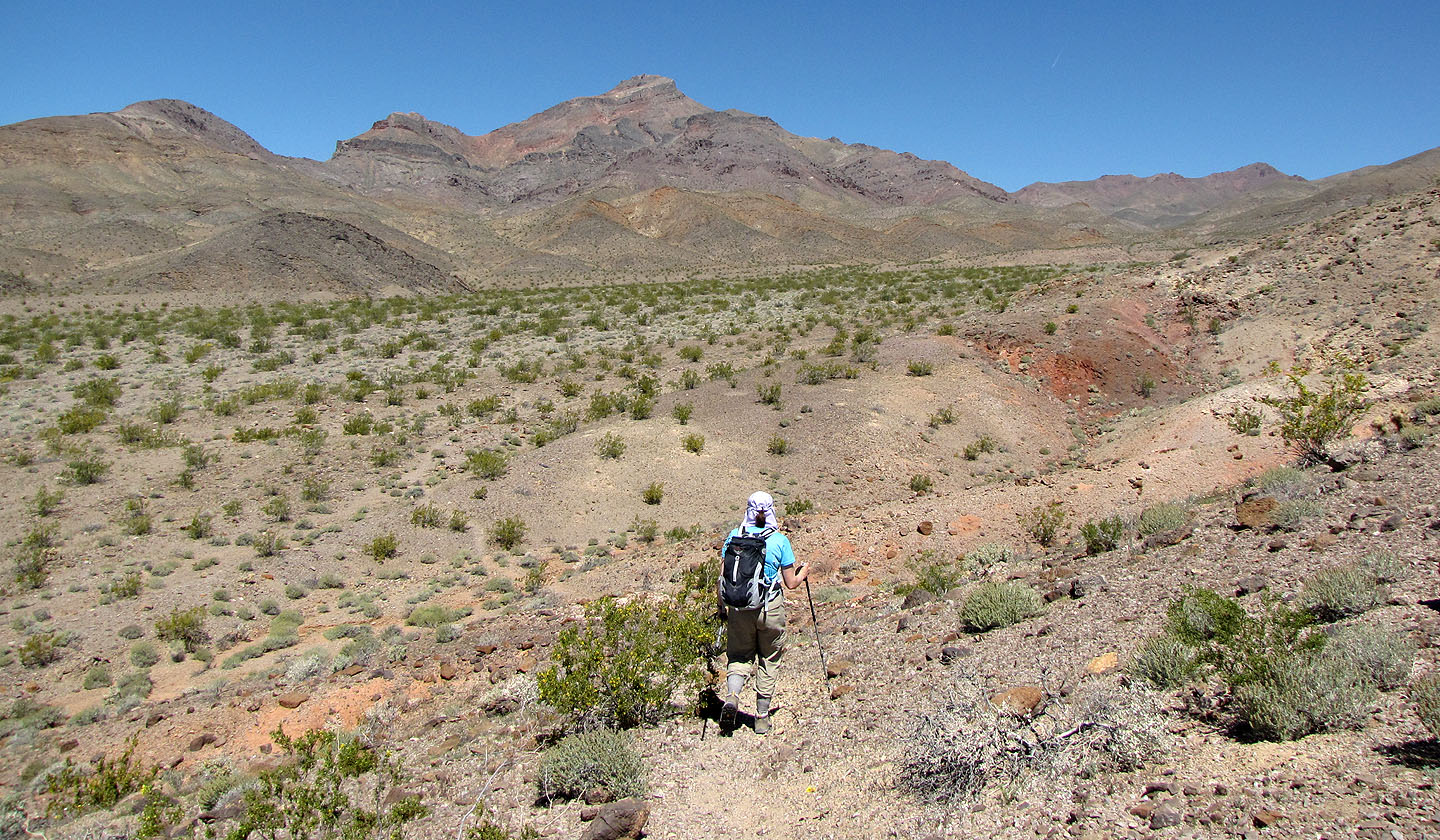
We got off course a bit when we realized the trail we were on didn't follow the route I had. So we took off across the flats and reached the base of the mountain. Here the route ascends the southeast ridge. We followed it until it intersected a well-worn path.
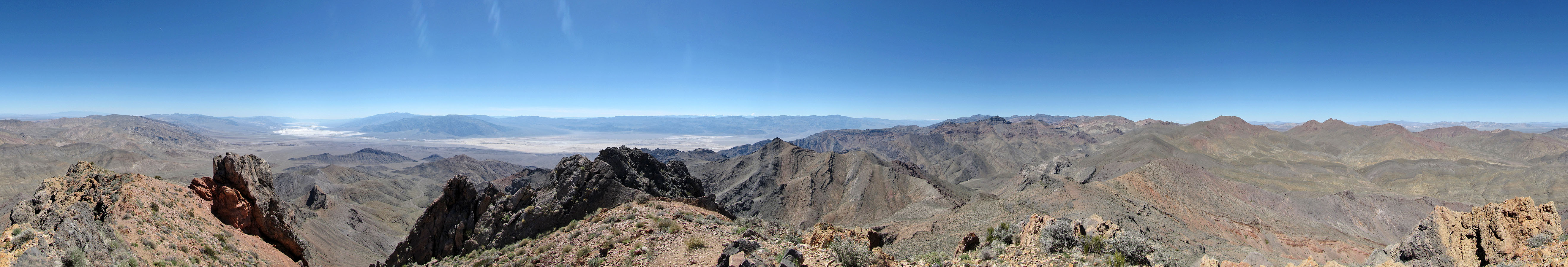
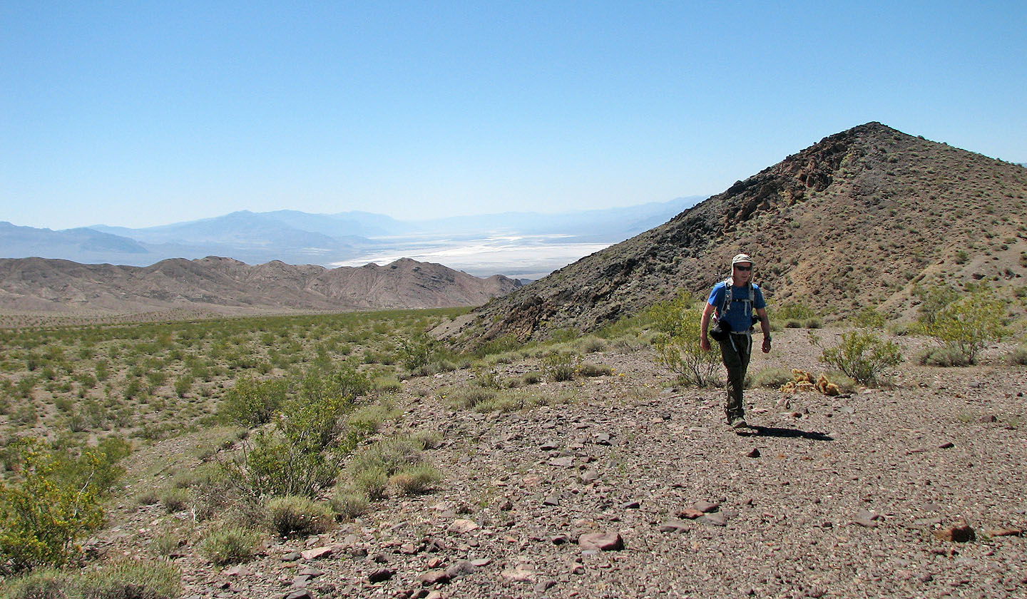
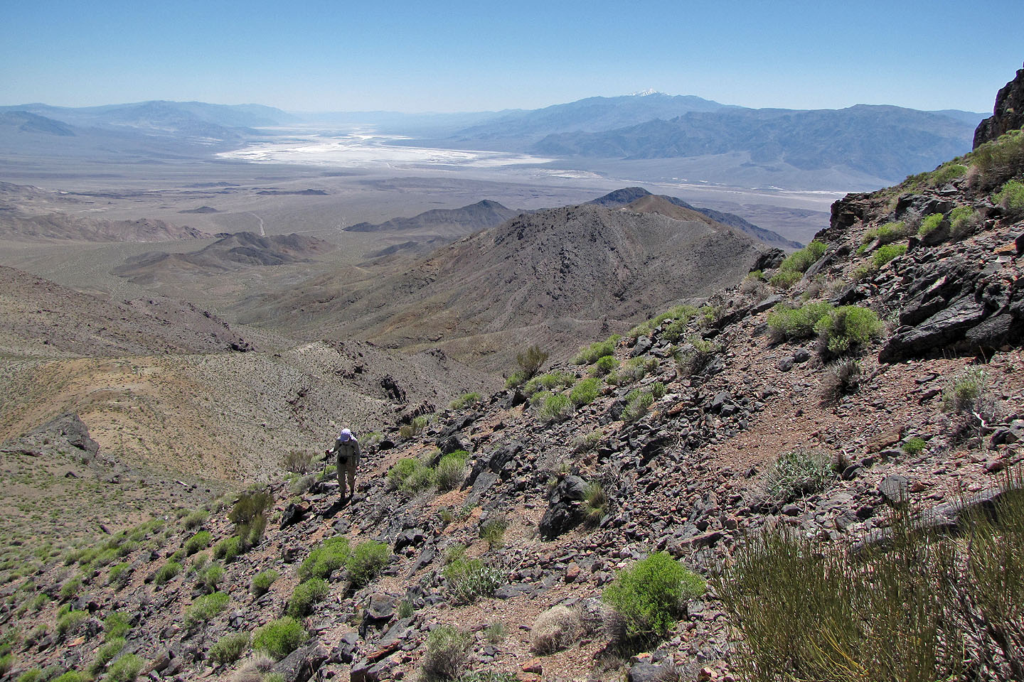
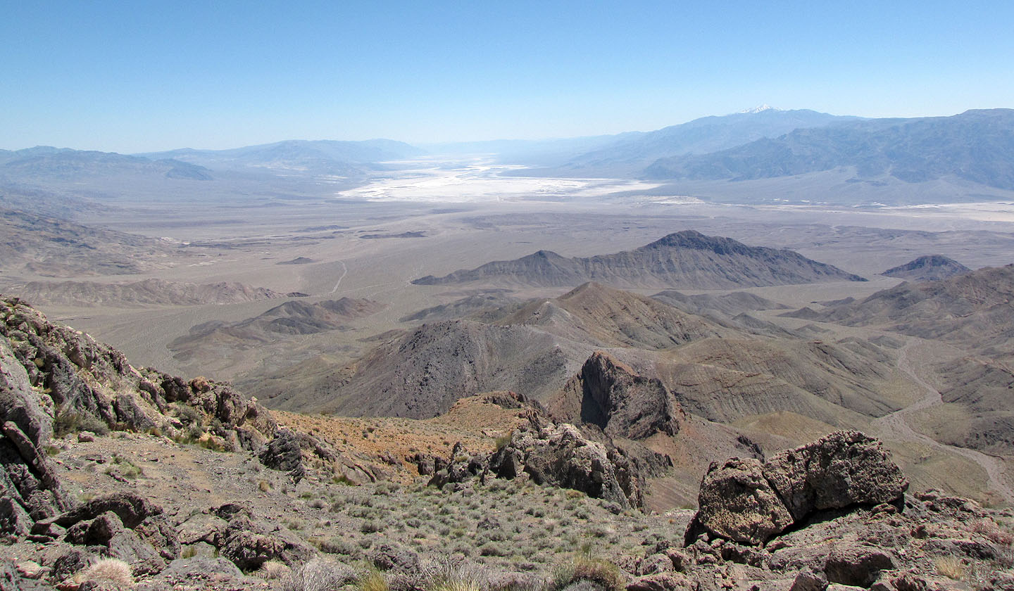
Once on the trail, we hiked easily to the top. Behind us, the vast expanse of Death Valley spread out below us, including Badwater Basin, the lowest elevation in the United States.
After we had our fill of the summit, we headed down. It was hot when we started the trip, but the summit air had been a comfortable temperature. Now as we descended, it grew hotter. It was 33°C when we walked back across the flats. Our next objective was an ice cream shop in nearby Beatty, Nevada!
Corkscrew Peak got its name from its distinctive shape
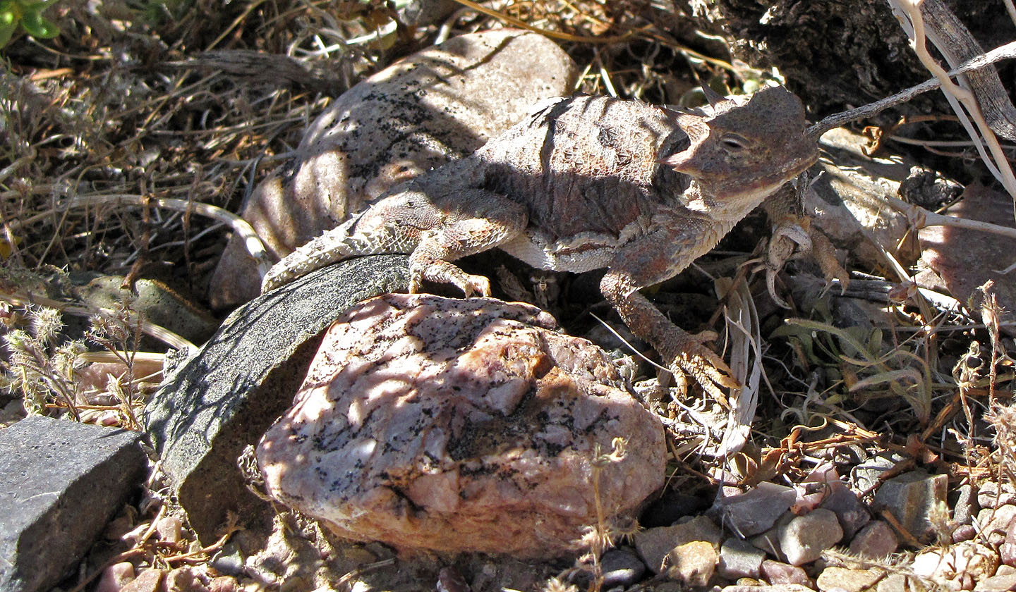
Horned lizard
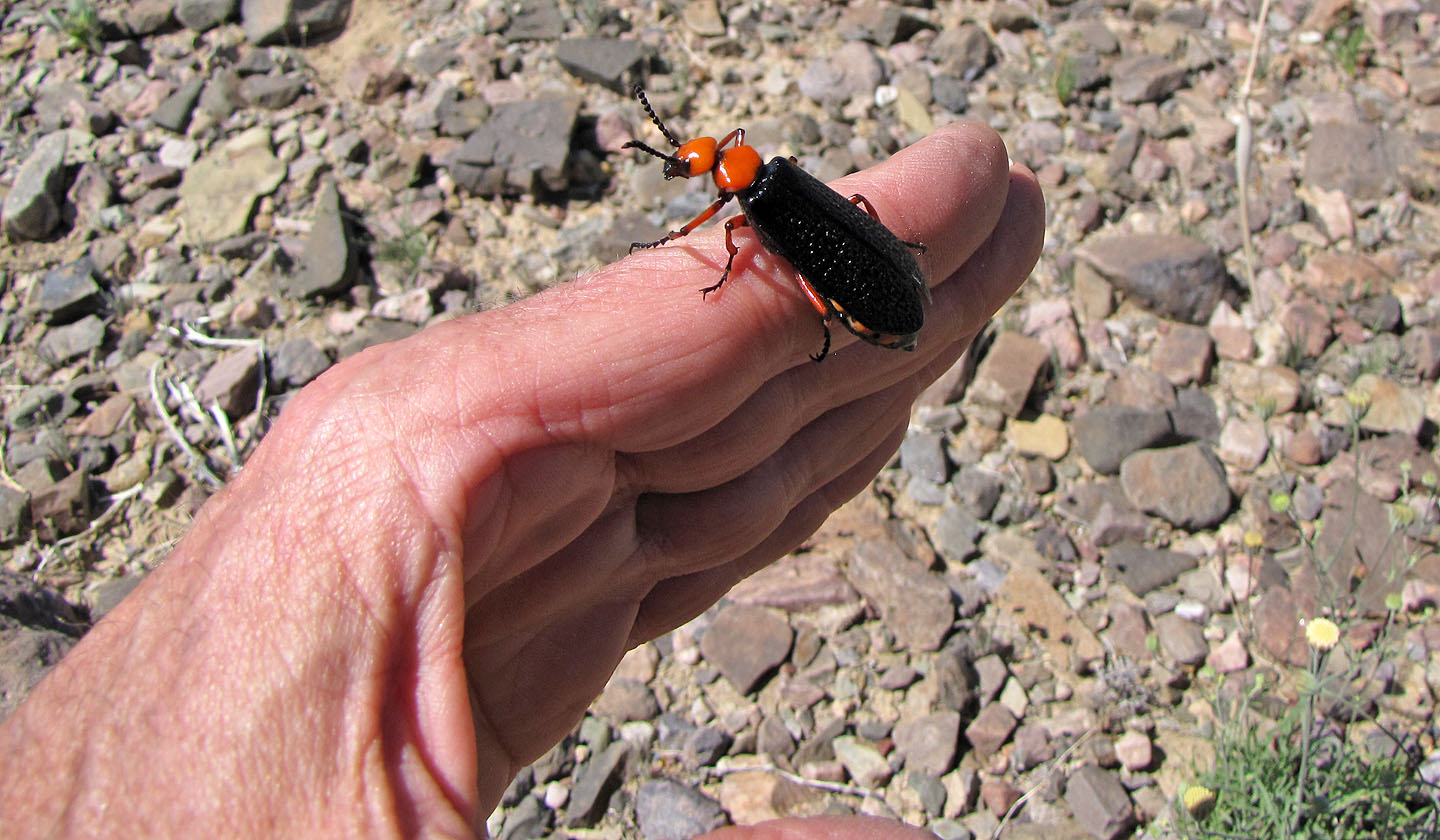
When disturbed, a desert blister beetle can squirt a substance that can cause blistering on human skin,
something I learned later!
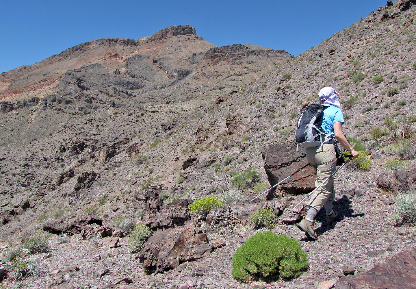
The route eventually wends right and goes behind the summit block
Looking back across the desert flats
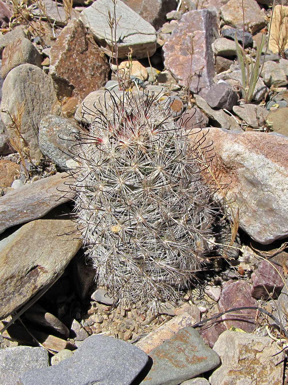
Fishhook cactus named for its auxiliary hook-shaped spines
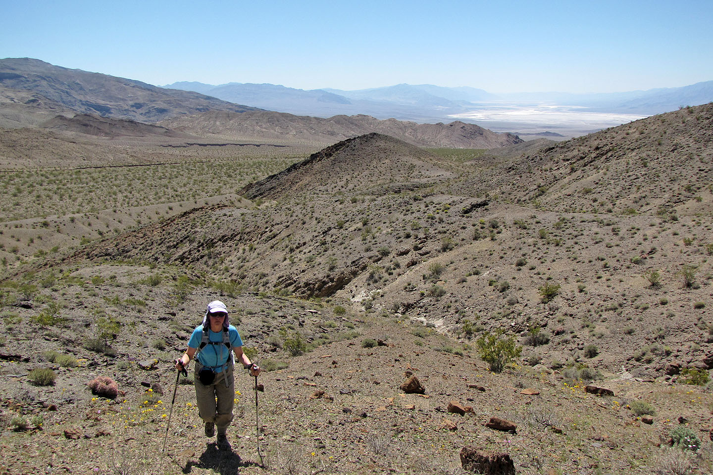
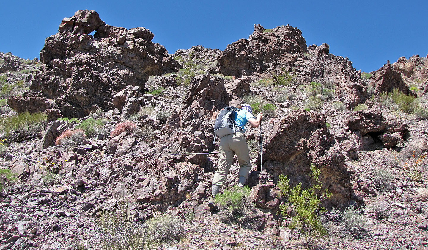
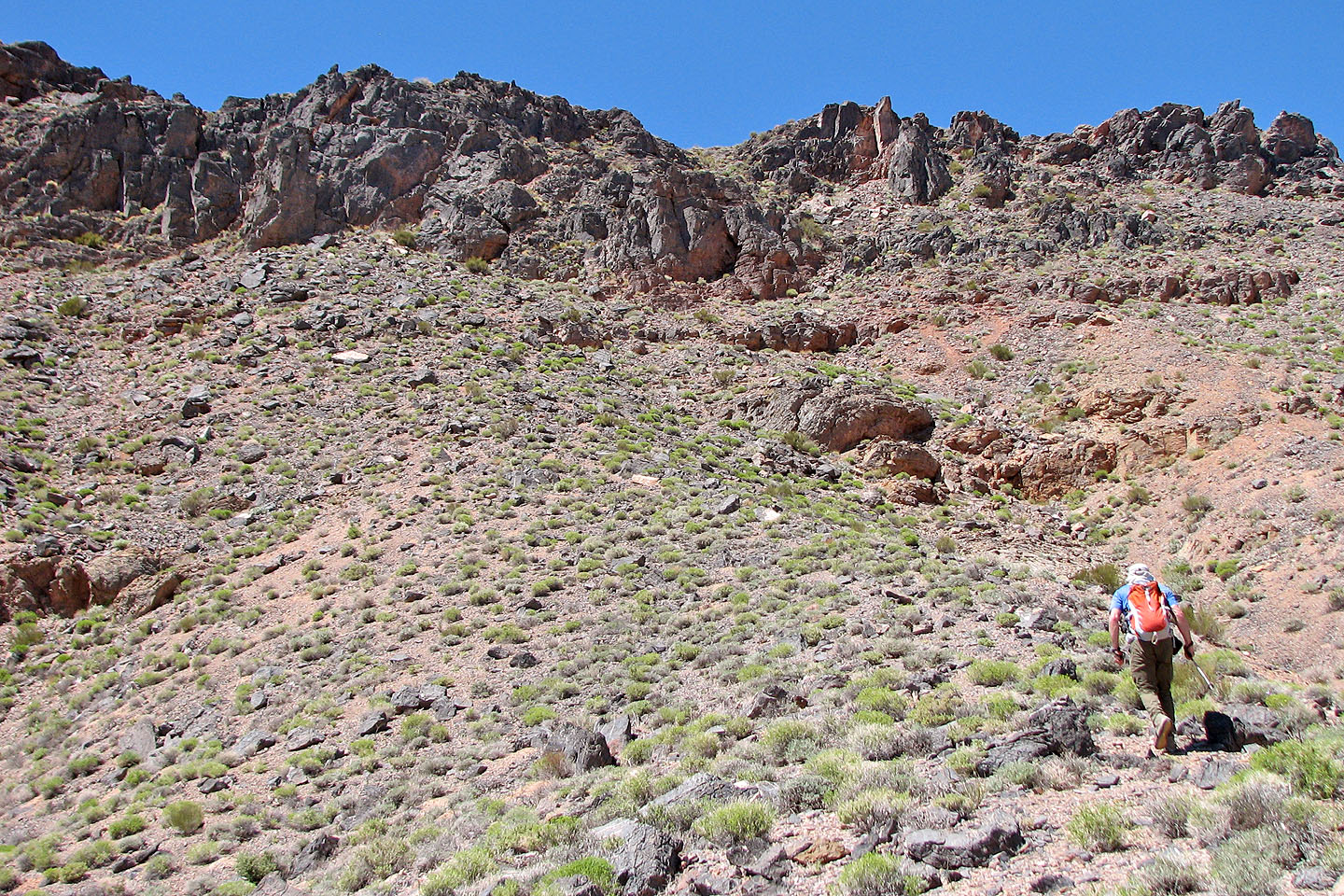
After crossing the flats we finally started climbing
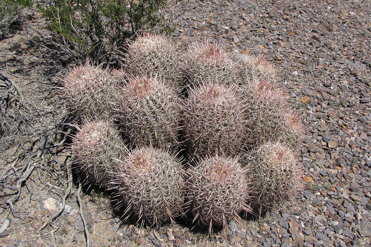
We were careful not to bump into barrel cacti (mouse over to see a close-up)
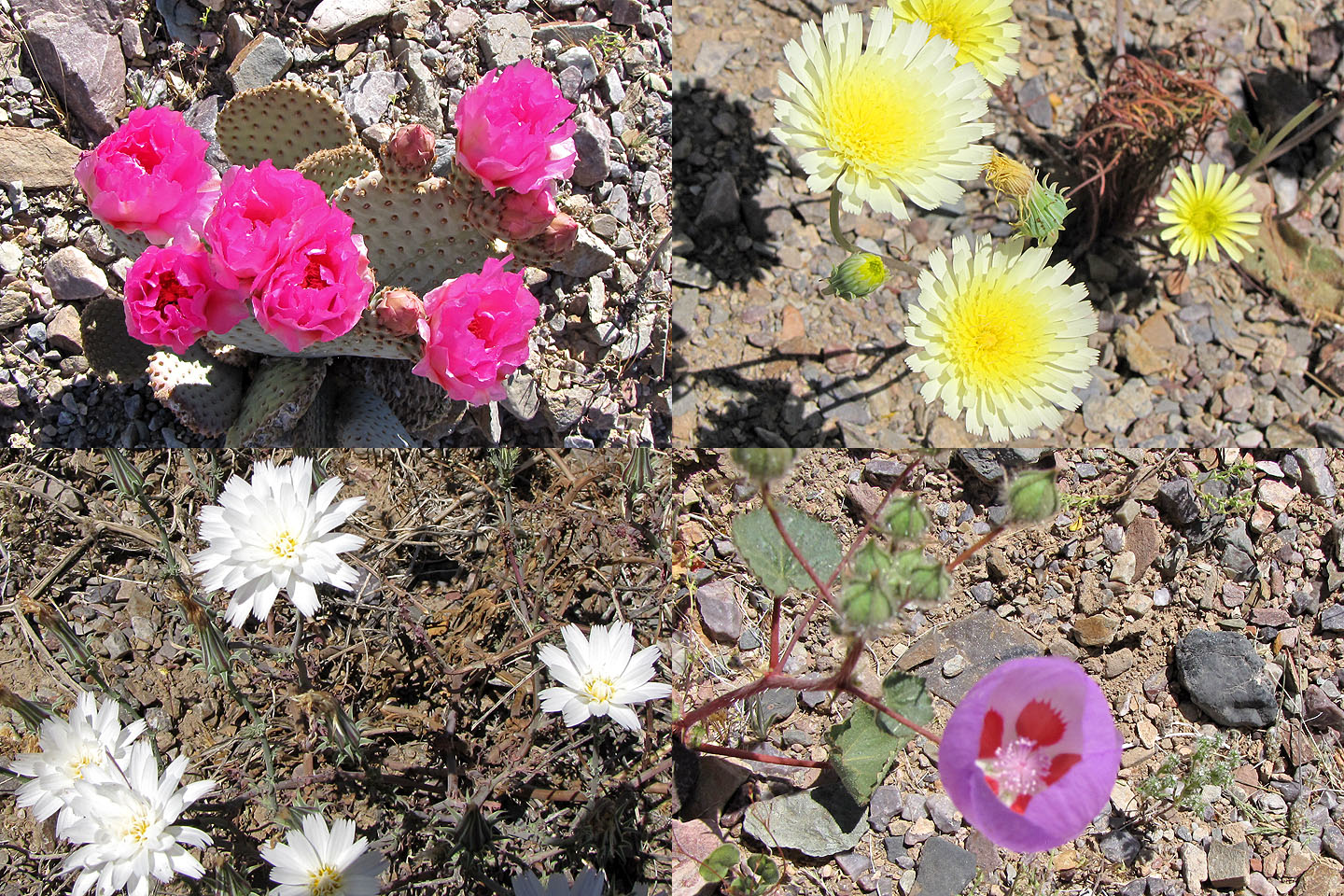 Clockwise from upper left: beavertail
cactus, smooth desert dandelion, desert fivespot, desert chicory
Clockwise from upper left: beavertail
cactus, smooth desert dandelion, desert fivespot, desert chicory
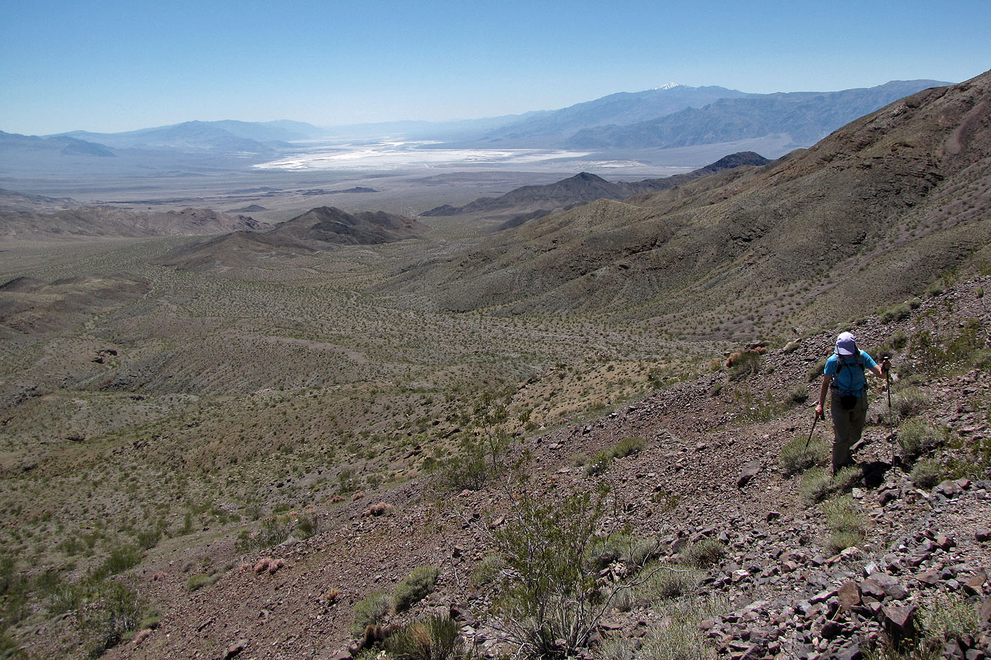
Badwater Basin below is the lowest spot in the U.S. (86 m below
sea level)
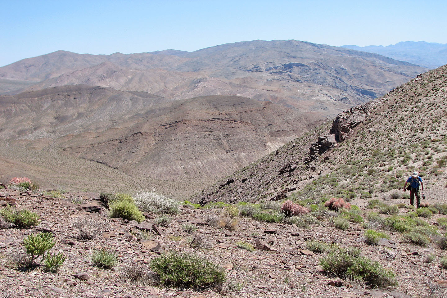
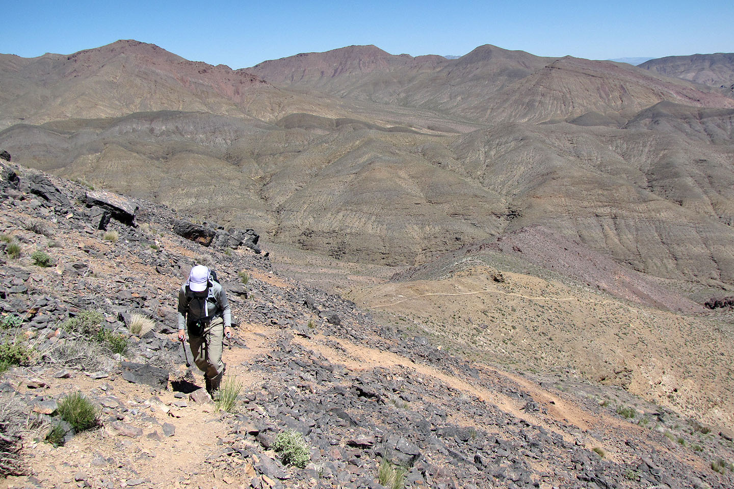
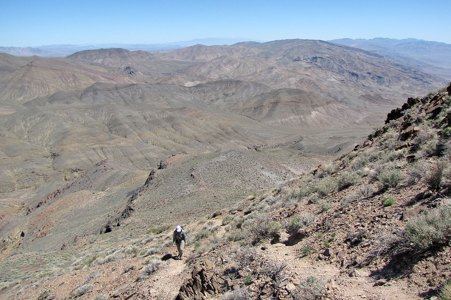
As we worked our way around to the backside of Corkscrew, we saw the mountains to the east
The trip was never more than an offtrail hike
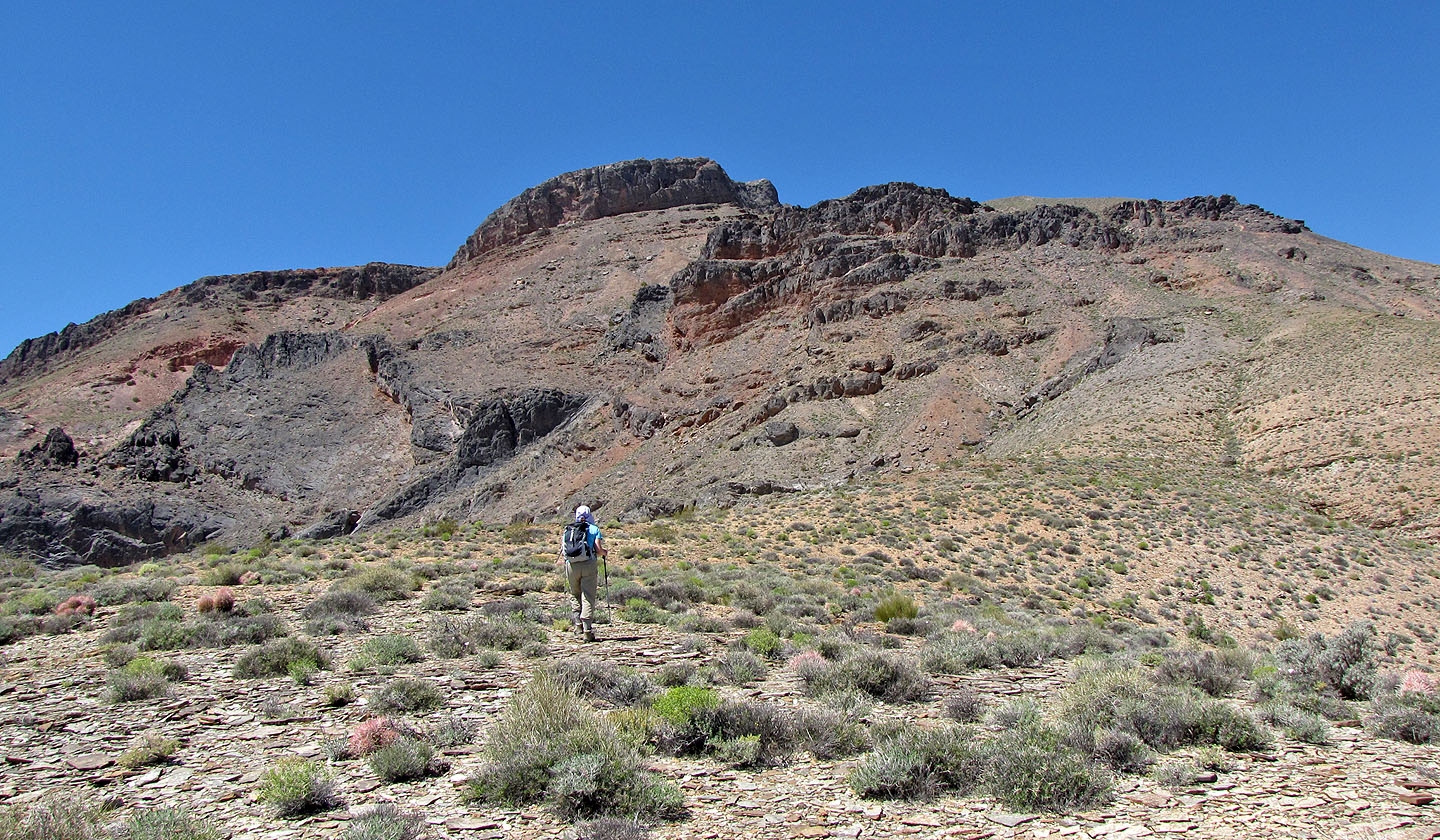
From here we could only see the false summit
On the far right, near the skyline, a trail goes up through the cliffs
The route goes right, below the rock outcrops
Telescope Peak (3368 m) is the highest mountain in Death
Valley (mouse over for a close-up)
On the backside, a trail leads to the notch above me
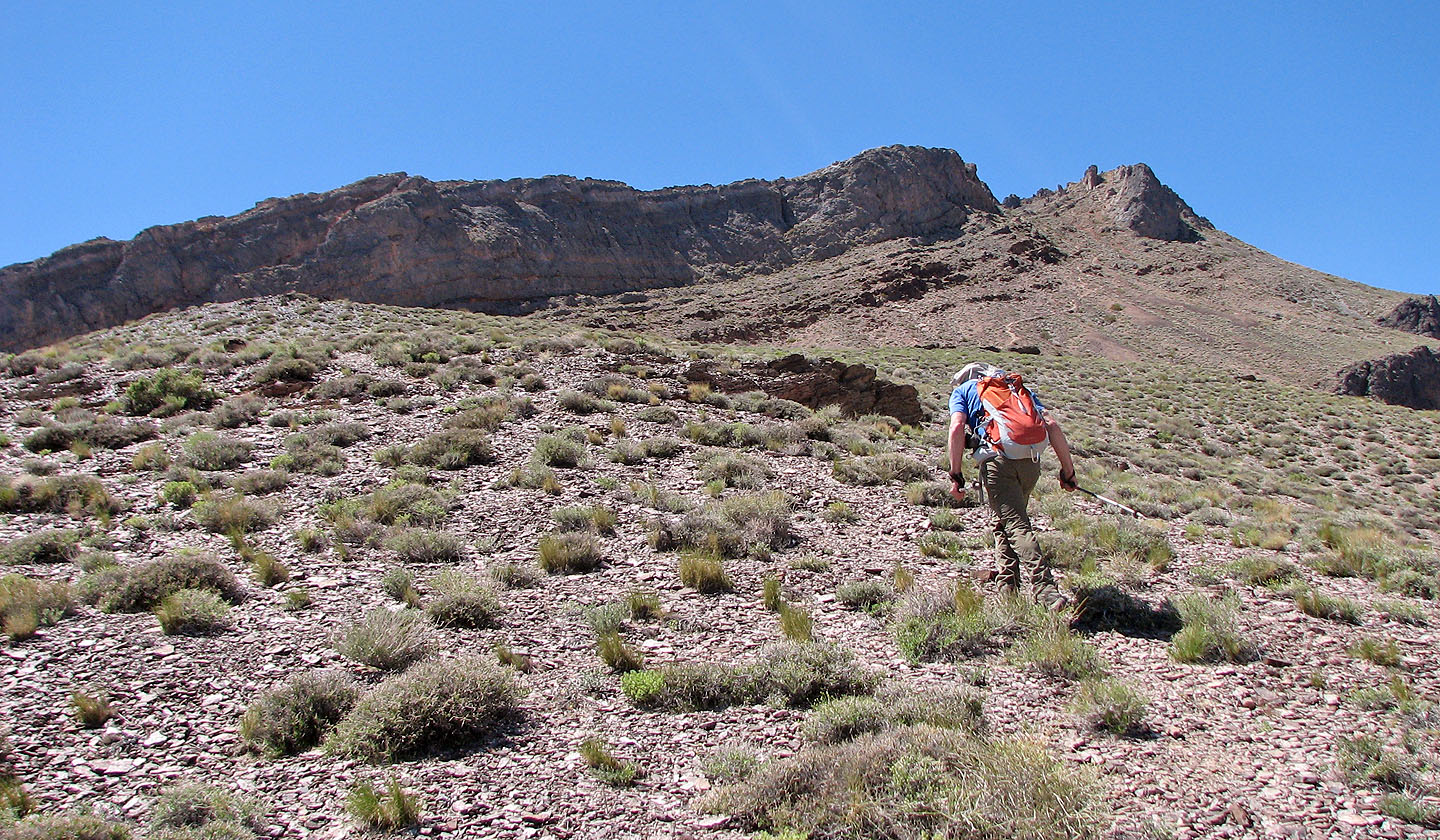
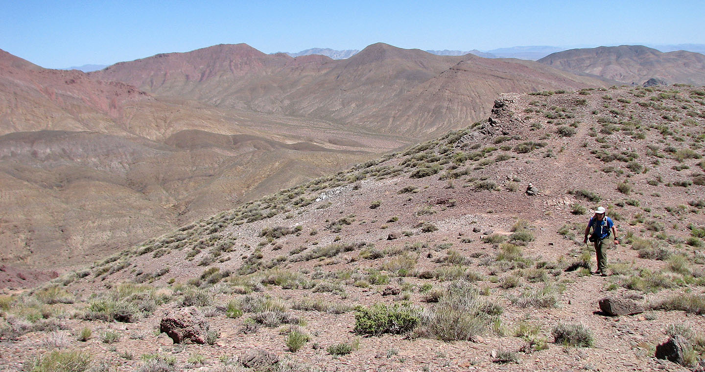
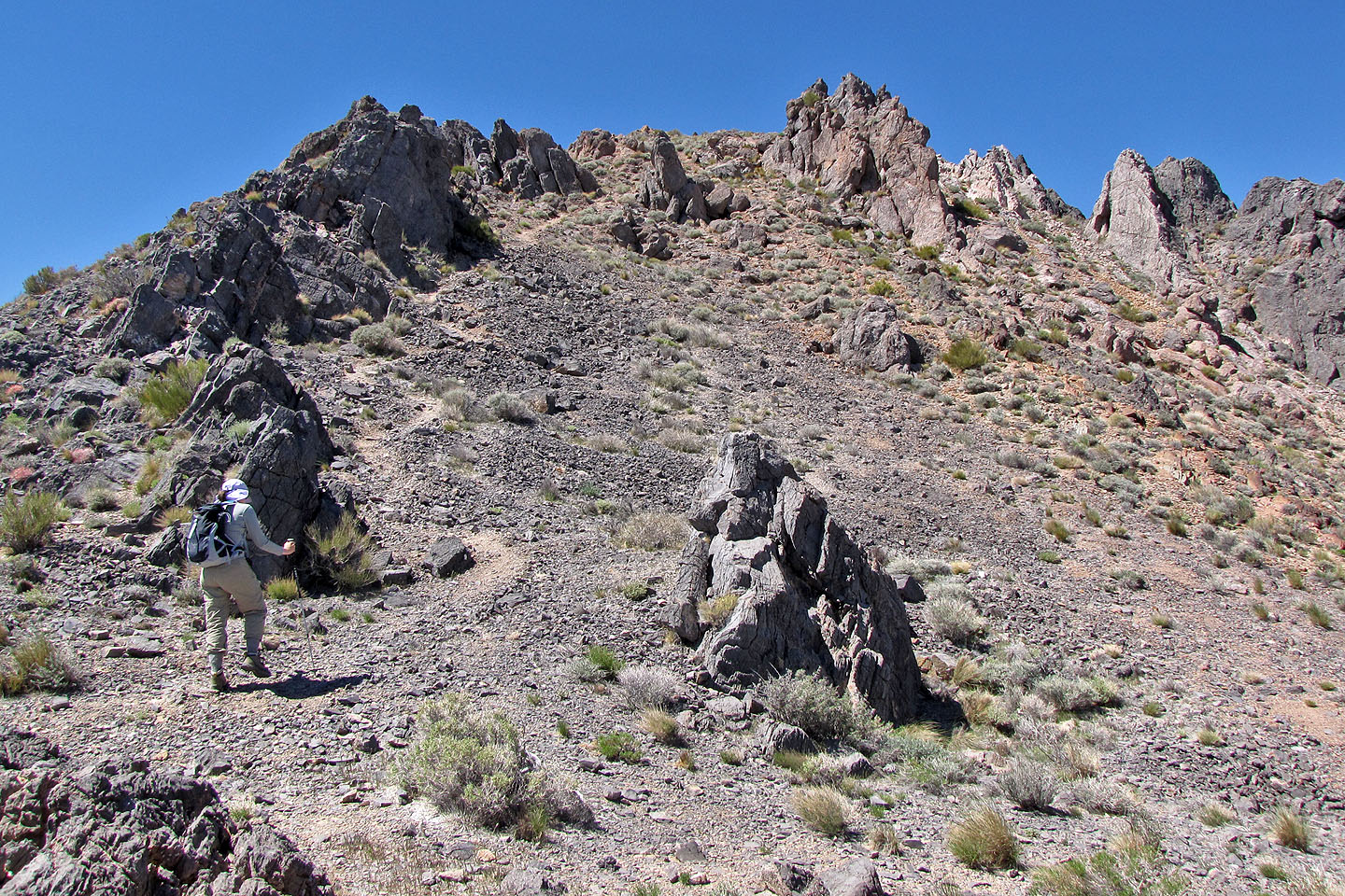
Hiking up the trail
Looking back as we continued up the trail
A trail can be seen on the left, but we hiked offtrail between the two hills rising from the flats
The long ridge on the left is Daylight Peak
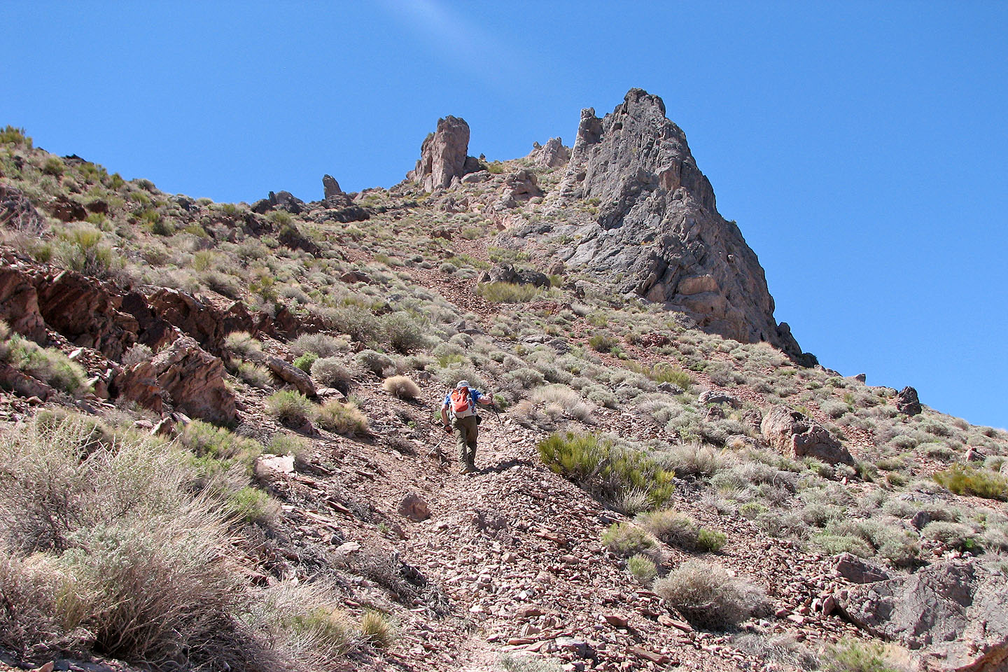
Nearing the notch
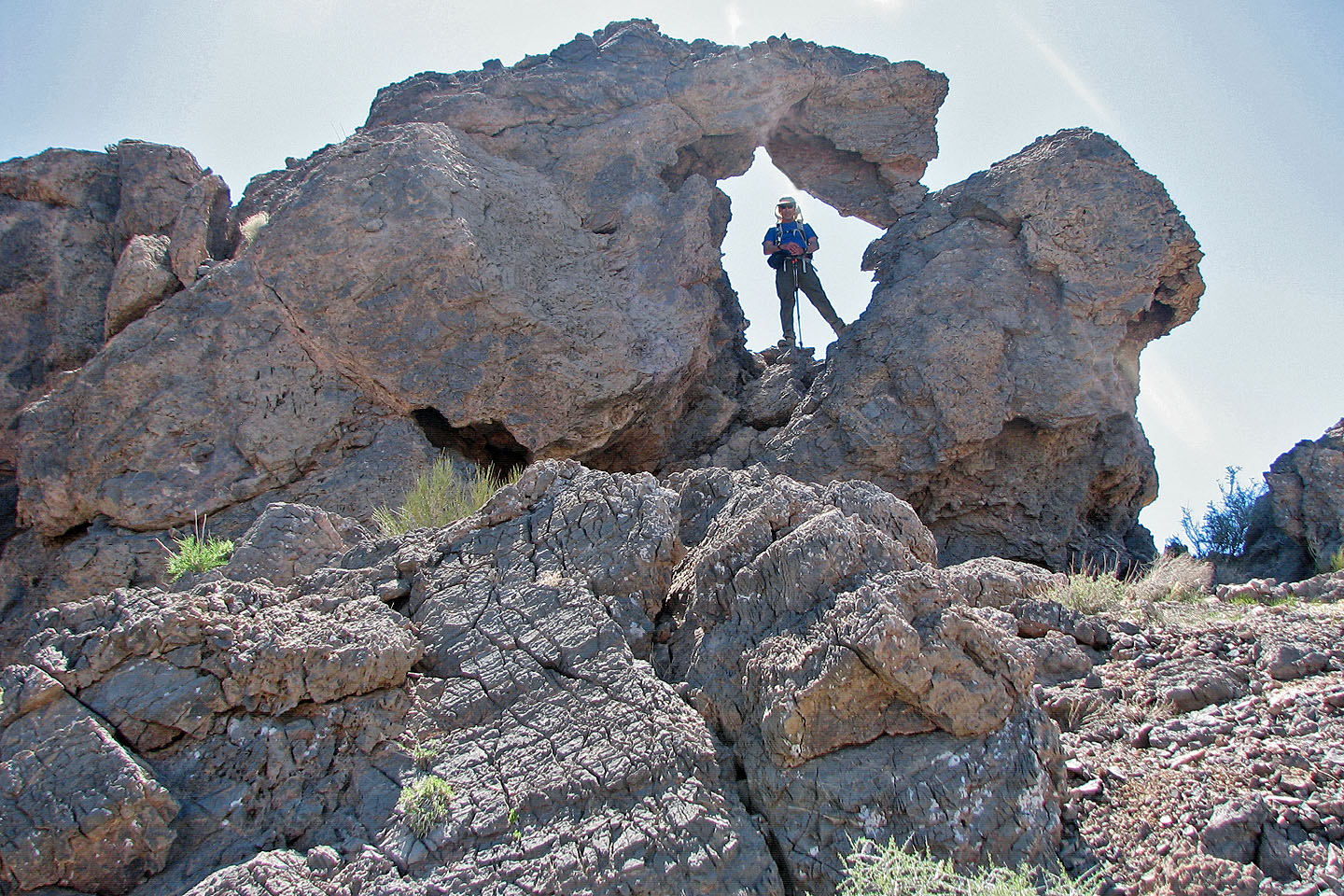
Posing in an arch
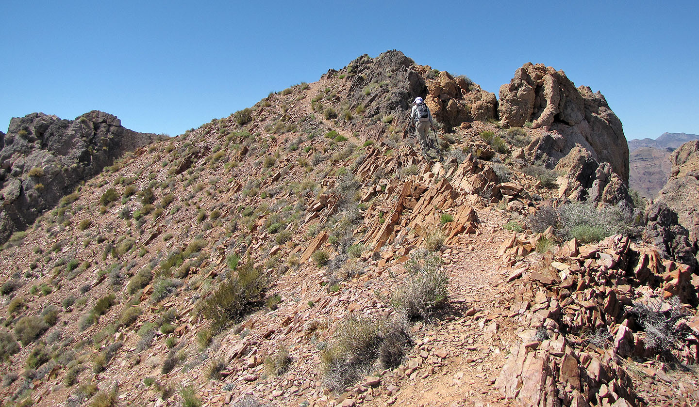
The trail continues to the summit
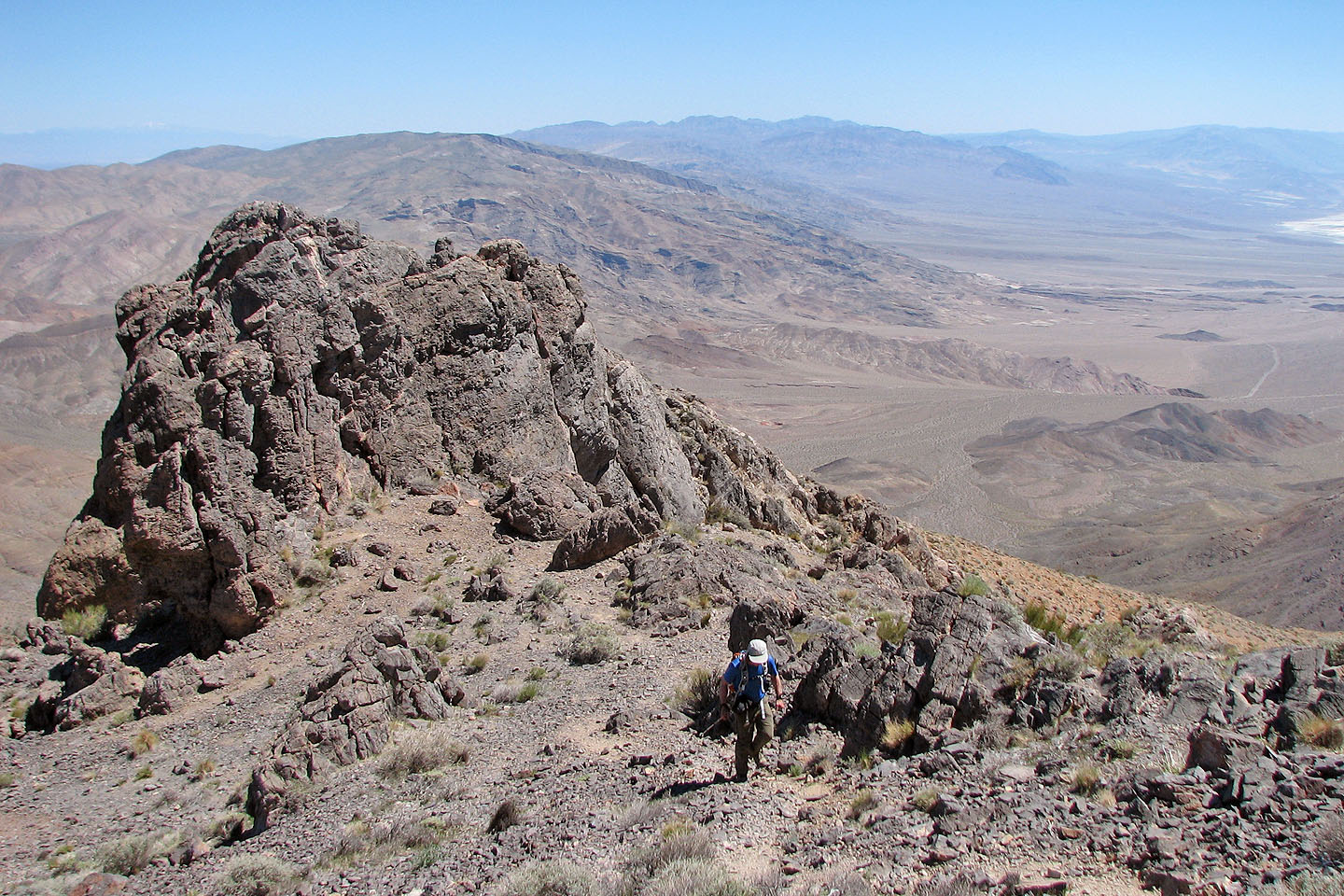
Looking back
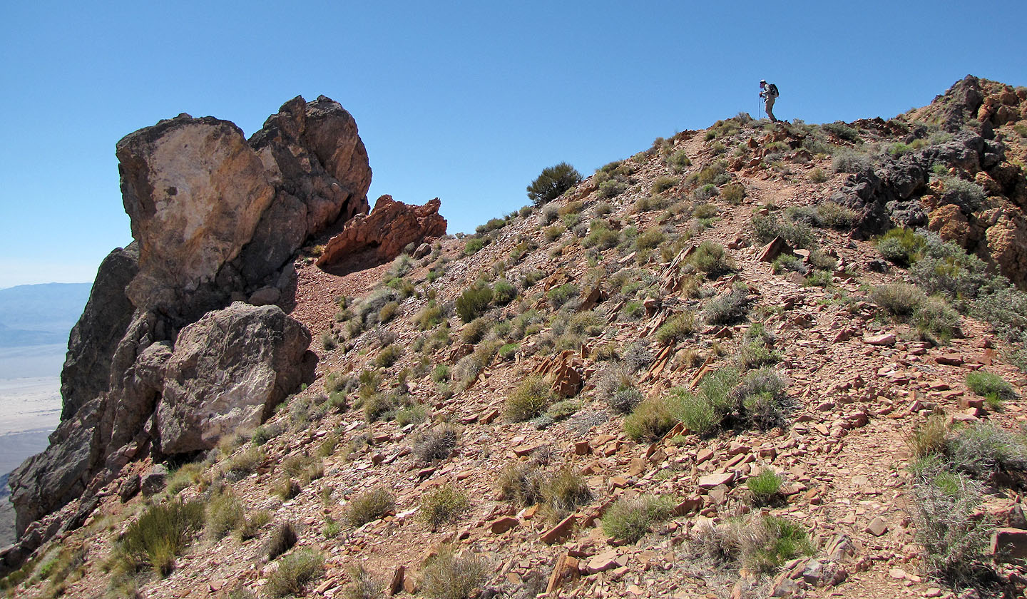
Dinah waits for me on a false summit
One last false summit
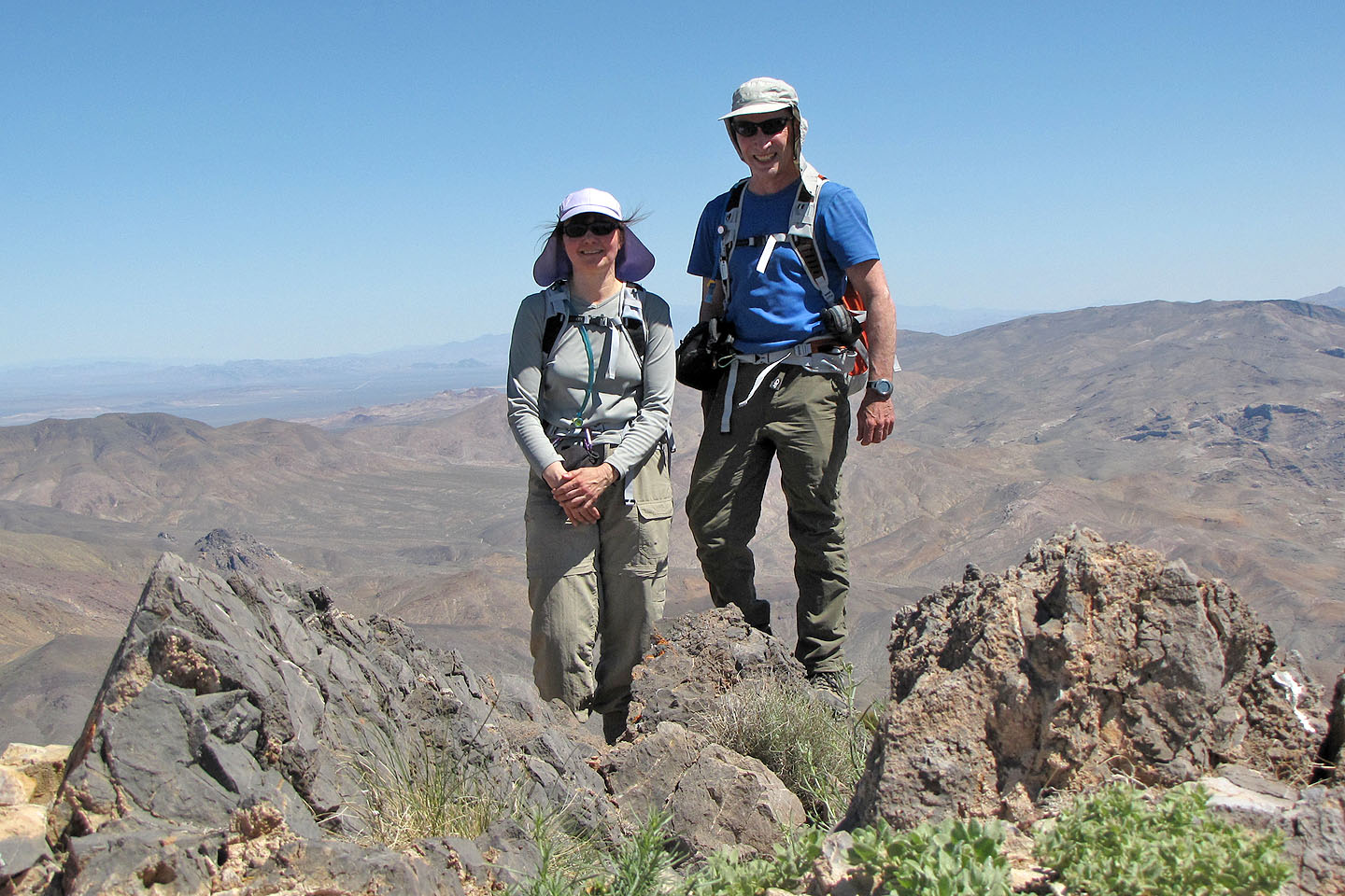
On top of Corkscrew Peak
Chloride City, Daylight Pass, Thimble Peak (7.0 mi, 5781 ft, 3235 ft)