bobspirko.ca | Home | Canada Trips | US Trips | Hiking | Snowshoeing | MAP | About
Tom’s Thumb Lookout Ridge
McDowell Sonoran Preserve, Arizona
January 26, 2023
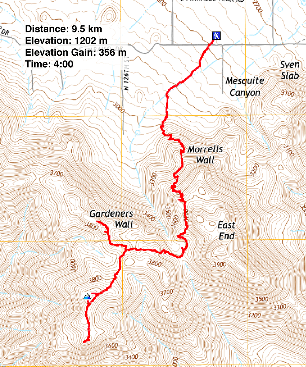
Distance: 9.5 km (5.9 mi)
Cumulative Elevation Gain: 485 m (1591 ft)
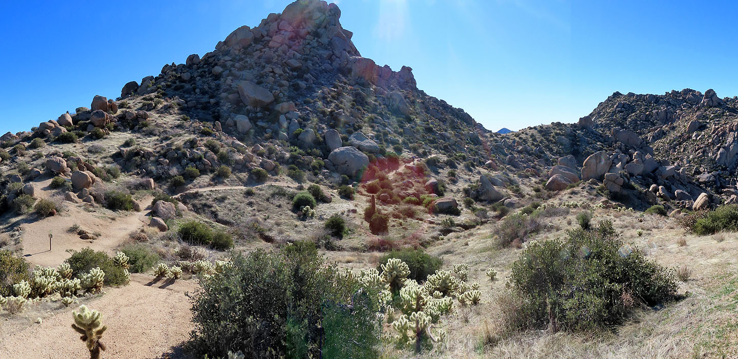
White granite domes and pinnacles scatter across McDowell Mountains making this Arizona's miniature Joshua Tree Park. And among the sights, Tom's Thumb sticks out; hikers are drawn to the 40-metre-high spire. Less popular and farther away is Tom's Thumb Lookout. A trail runs along the side of a ridge to a viewpoint overlooking a valley. The ridge is unnamed, but I called it Tom's Thumb Lookout Ridge. Of particular interest to Dinah and me, however, was the summit of the ridge, easily reached by a short off-trail hike. We wanted to visit the spire and the lookout as well as reach the ridge summit. We headed to McDowell Sonoran Preserve which lies north of Phoenix.
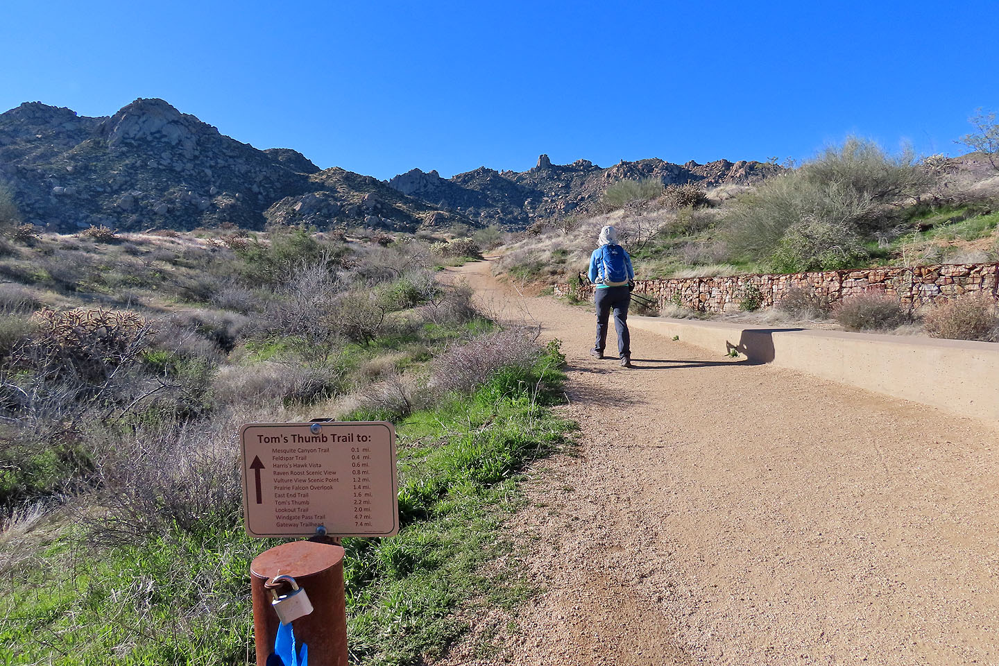
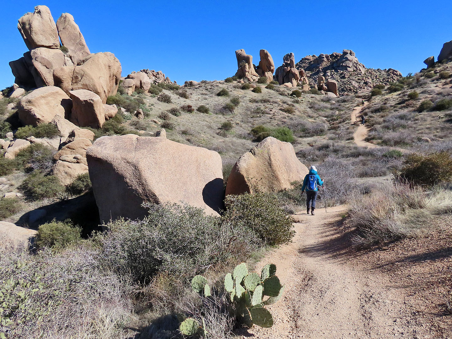
We followed Tom's Thumb Trail as it meandered up a slope. After cresting a ridge, the trail drops down to traverse a broad saddle. Here we hiked in awe among granite boulders and pinnacles that towered over us. After the path resumes climbing, we came to a fork: left for Tom's Thumb Lookout and right for Tom's Thumb. We followed the latter and passed impressive spires, but Tom's Thumb dwarfed all other rocks. After reaching its base, we returned to the fork.
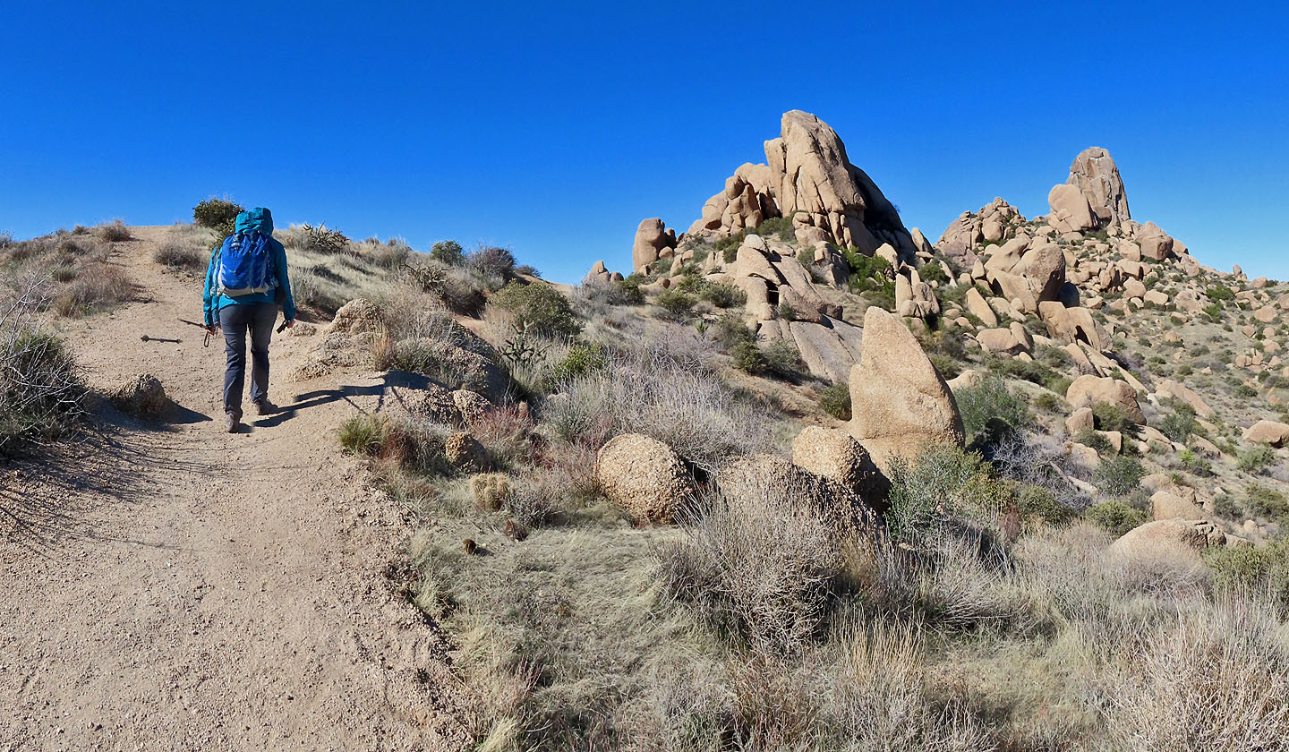
We encountered several hikers on Tom's Thumb Trail, but the trail to Tom's Thumb Lookout saw few people. It lacks granite boulders but offers a pleasant desert landscape. And we had a fine view of Tom's Thumb as we ascended the ridge to the lookout. The trail, however, stays below the ridge crest.
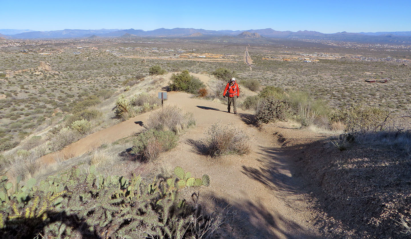
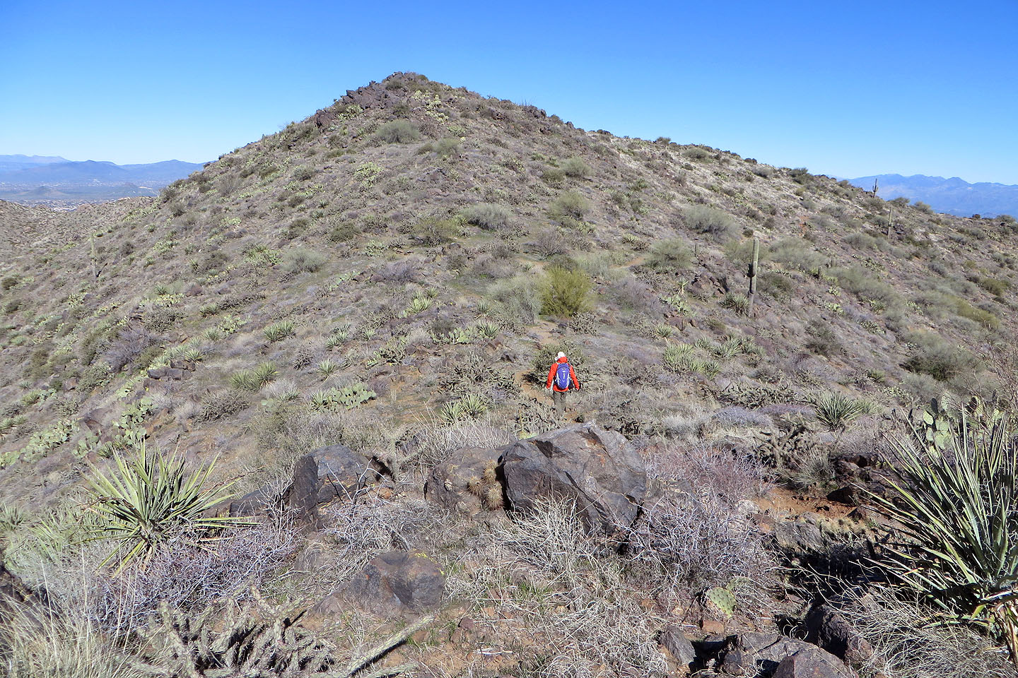
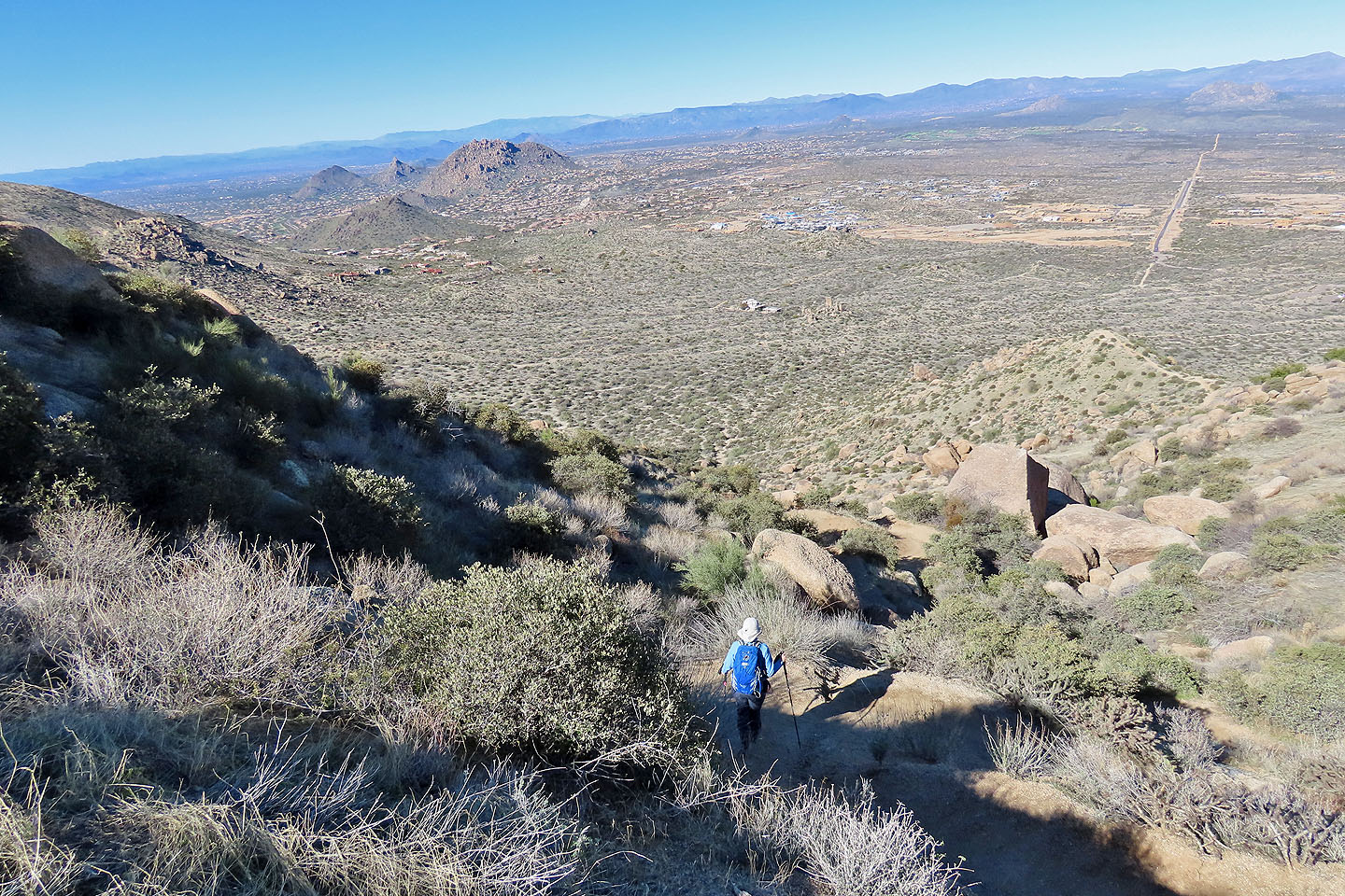
The trail ends at the south end of the ridge where we had splendid views of the valley below and peaks on the other side. But we soon turned around and headed back down the trail to climb the top of the ridge. To reach the summit, we had to leave the trail but had no difficulty other than navigating around cholla cactus. Being the highest point for kilometres around, it offered views superior to Tom's Thumb Lookout. But being windy and unseasonably cold, we didn't linger and dropped back down to the trail. For the hike back, we were again treated to sights of the magnificent granite monoliths before returning to the parking lot.
Starting up the trail to Tom's Thumb seen above Dinah
Looking back. The trailhead is right.
We followed the trail up a slope. Tom's Thumb is right (mouse over).
The trail drops down to a broad saddle
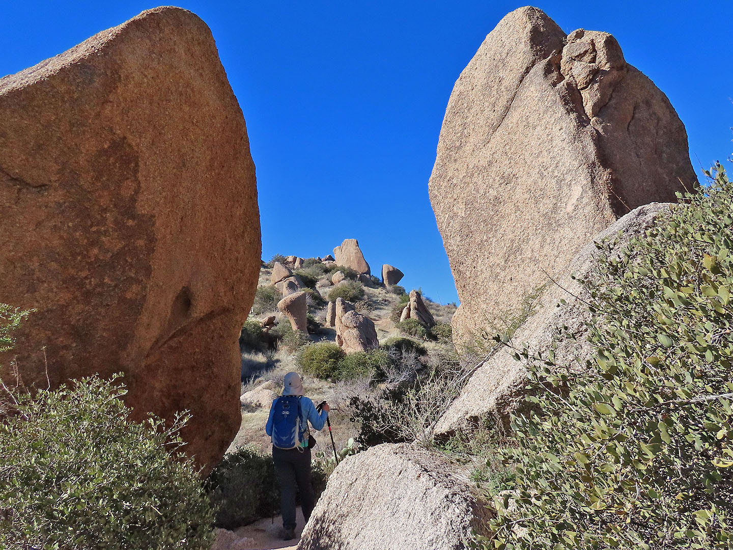
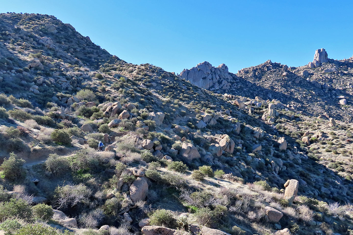
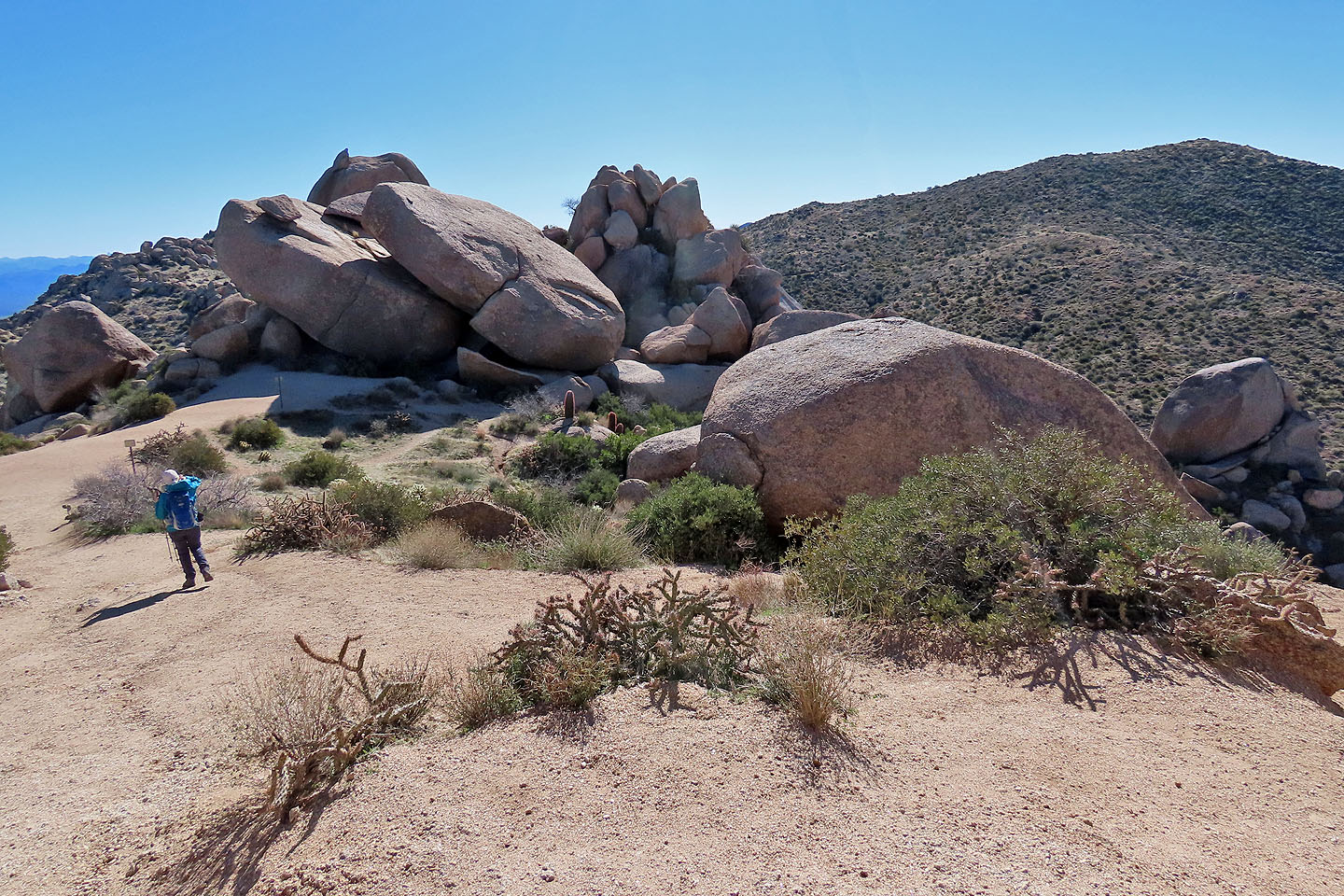
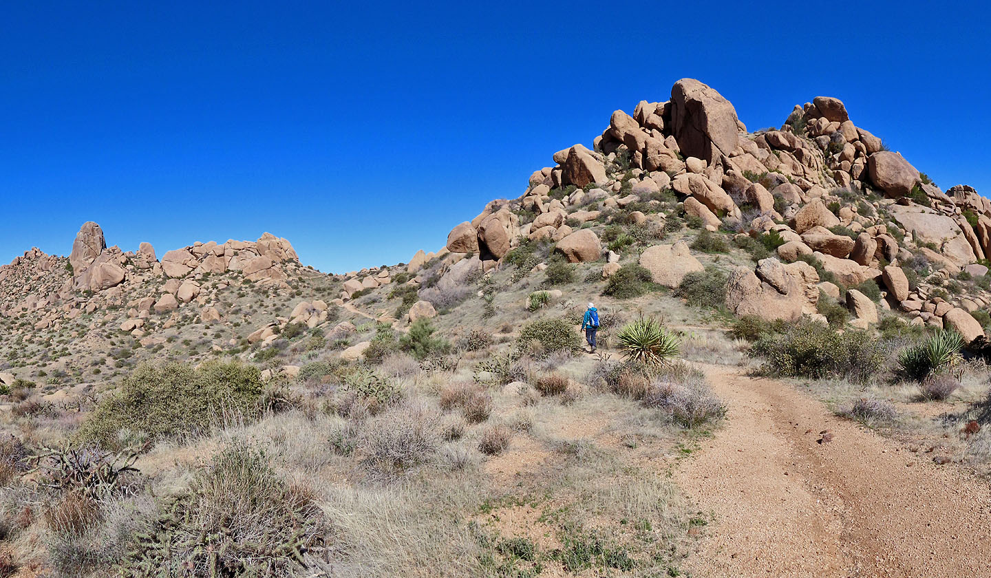
Hiking through massive granite boulders
At the junction, we turned right to view Tom's Thumb
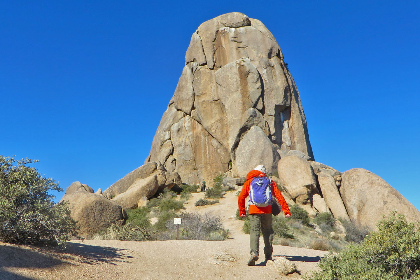
A short trail leads to the towering rock
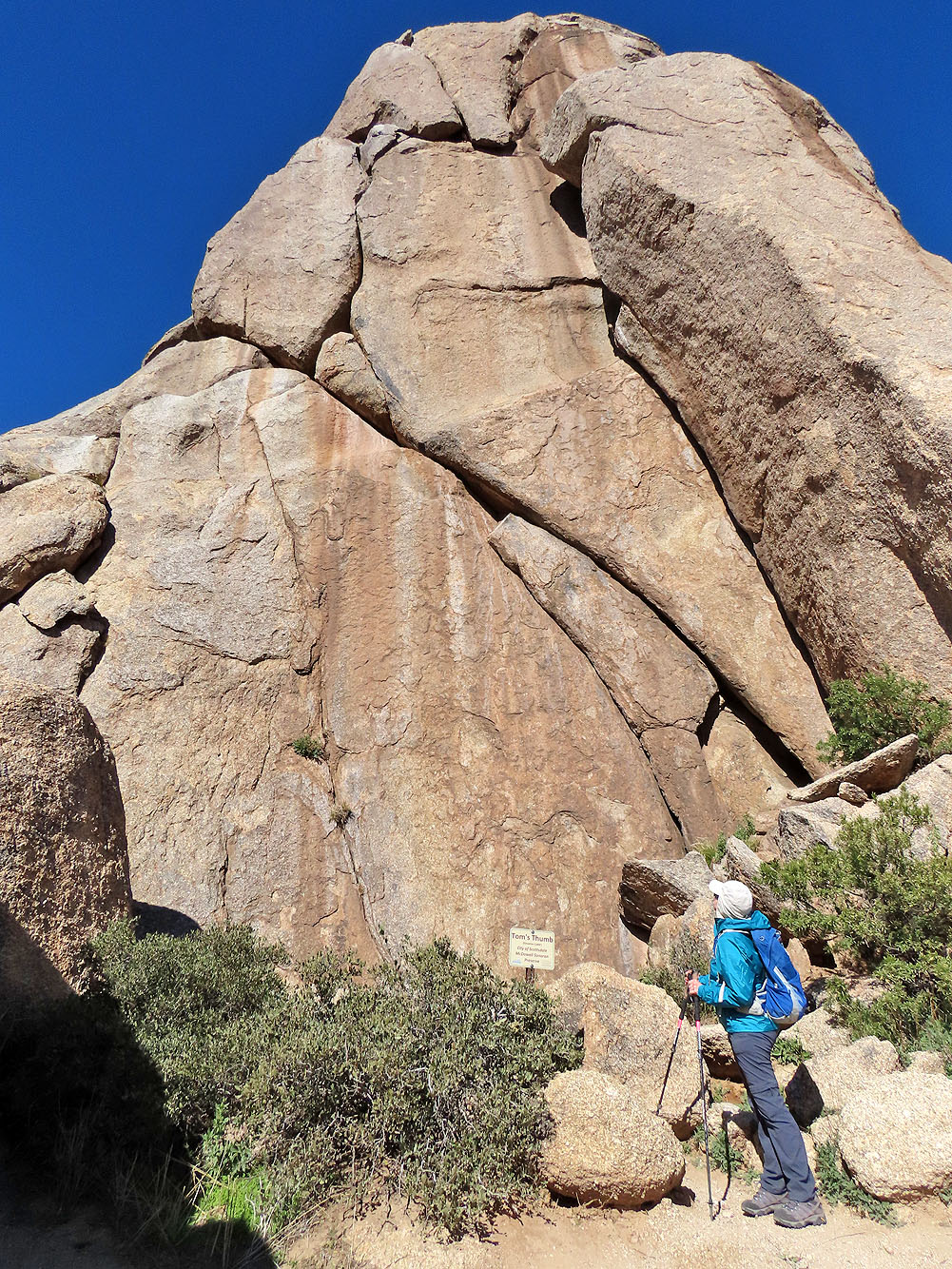
Dinah looks up at Tom's Thumb
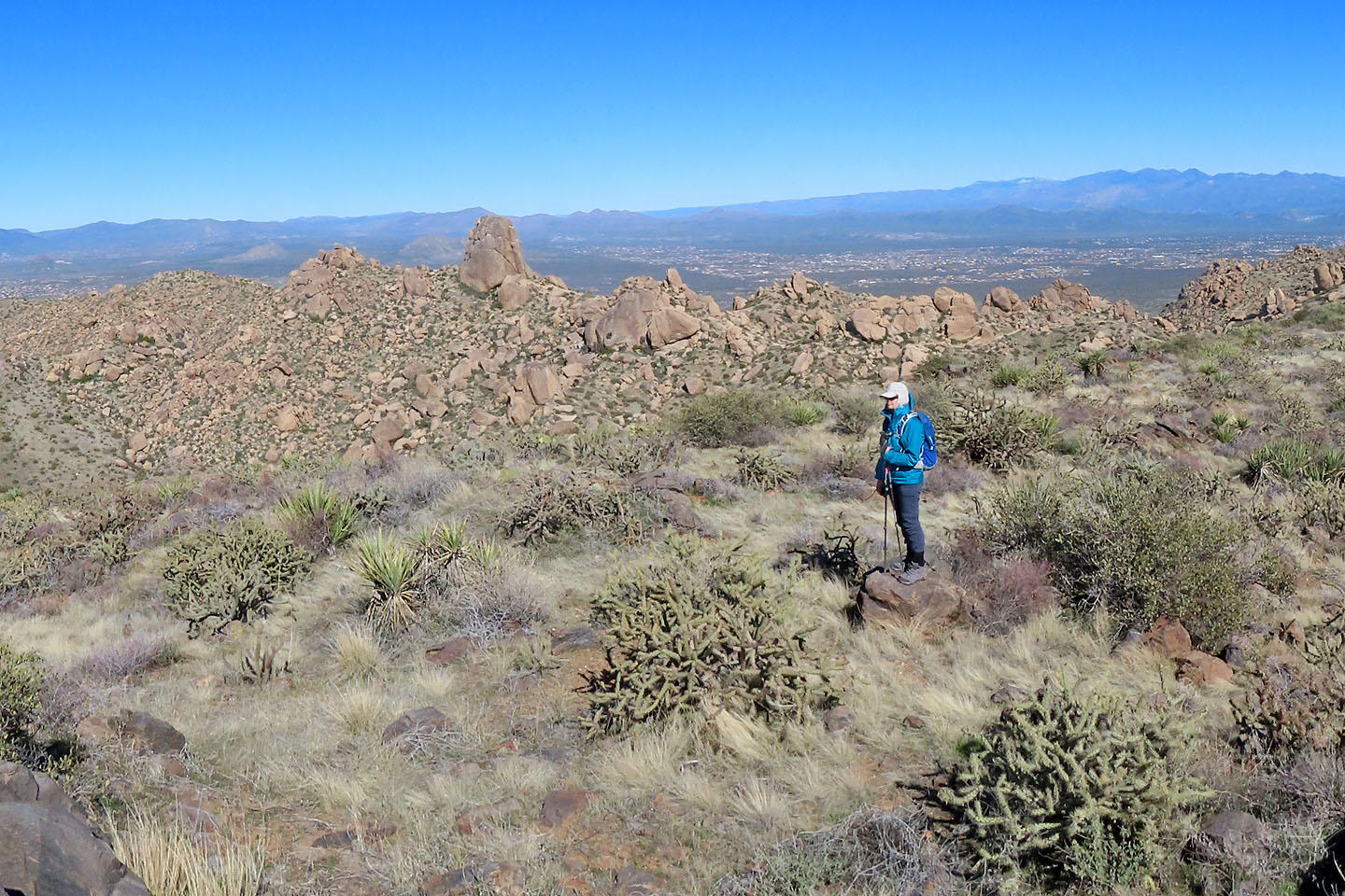
 From Tom's Thumb, we could see Tom's Thumb Lookout Ridge
We returned to the fork and started on the lookout trail
Looking back at Tom's Thumb from the lookout trail
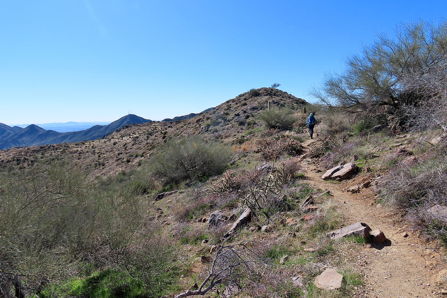
The lookout is at the end of the ridge
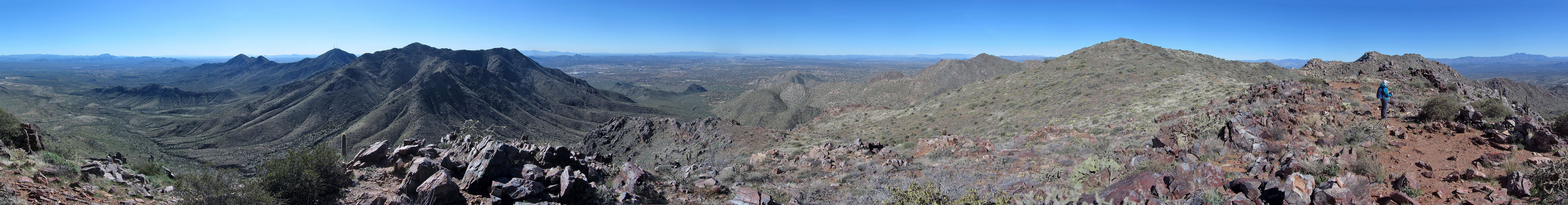
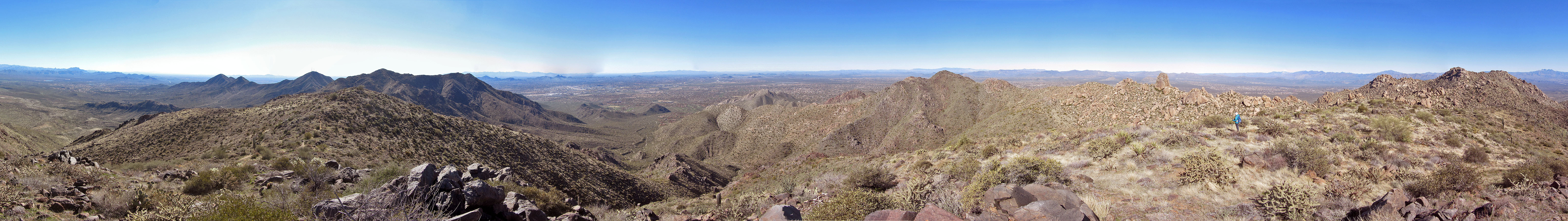
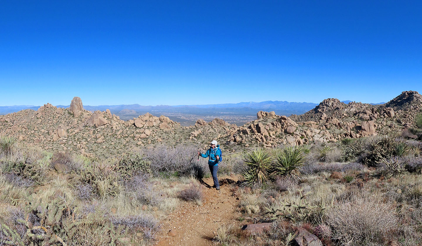
Panorama from the lookout
Standing on the lookout
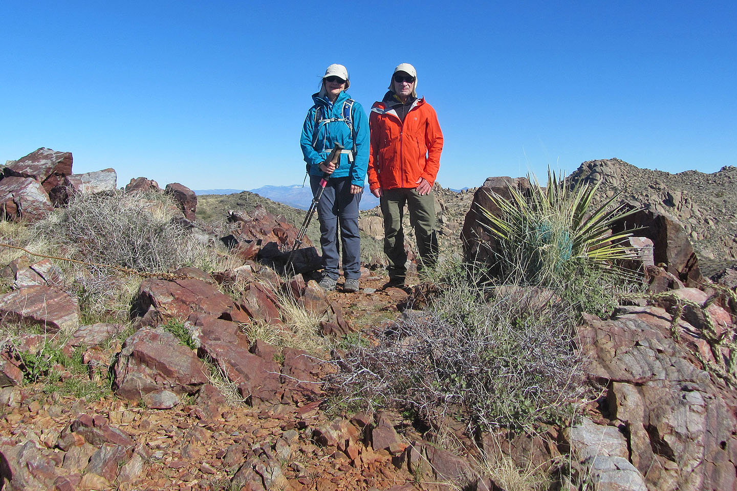
On the way back, we left the trail to ascend the ridge summit
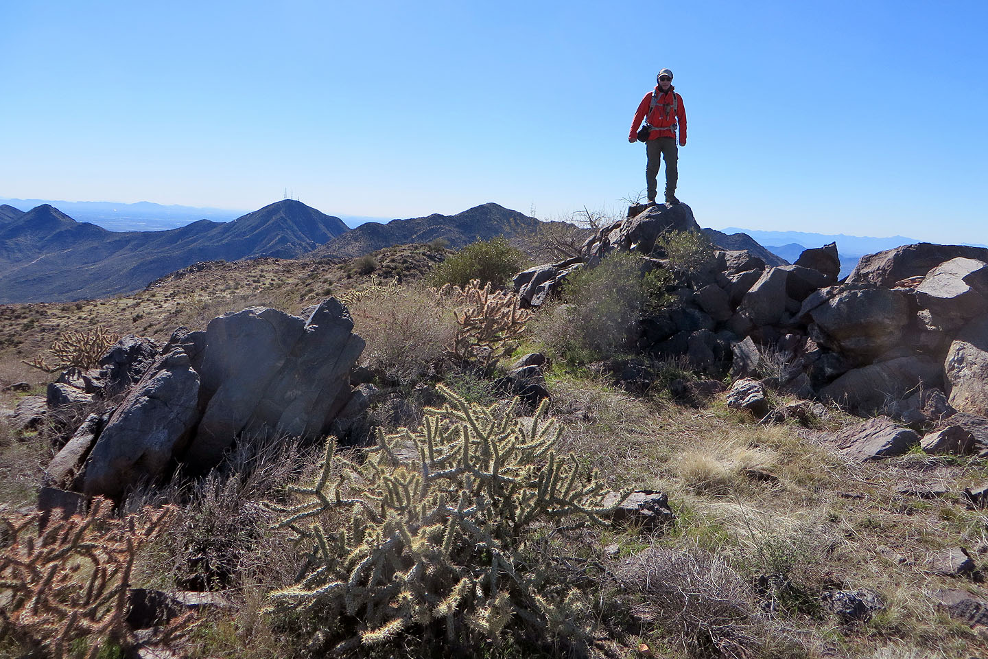
Posing on the summit
Looking back at Tom's Thumb. Well in the distance are Cone Mountain and Browns Mountain which we climbed five days later (mouse over to indicate).
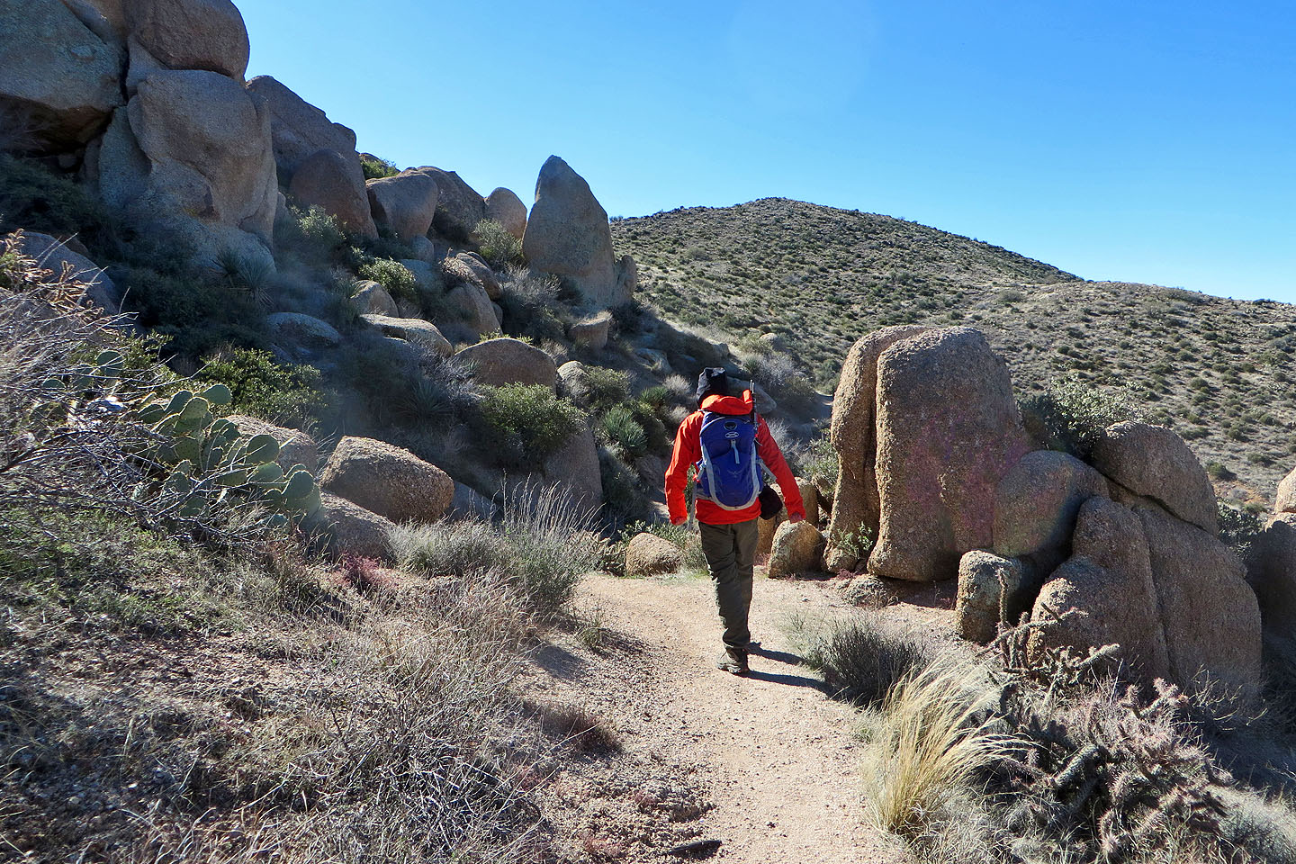
Heading back
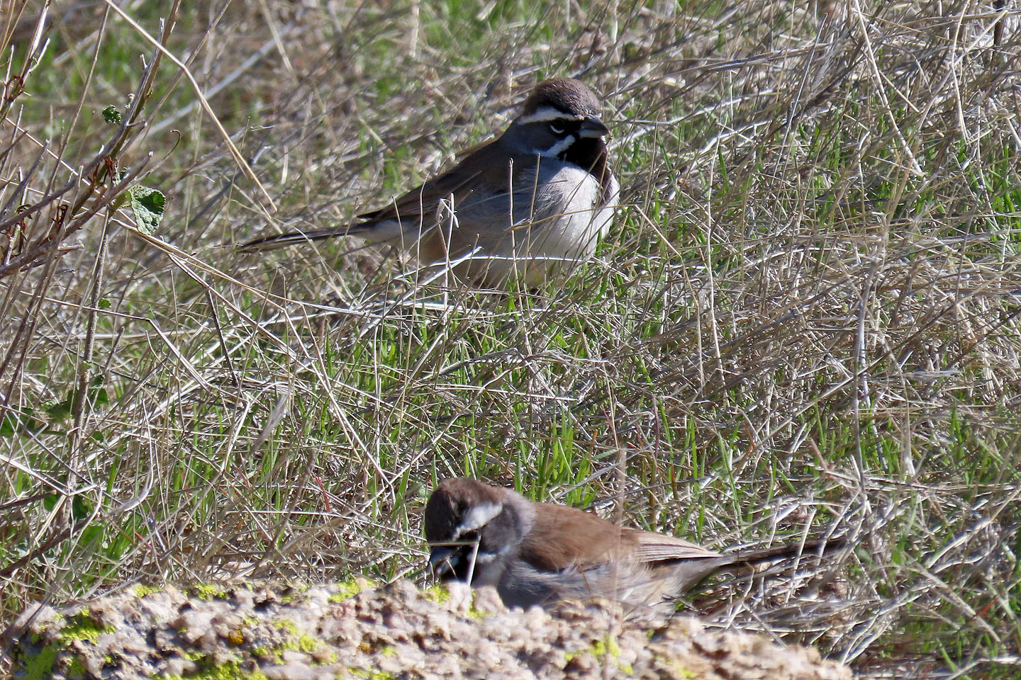
Black-throated sparrows
Back among the boulders
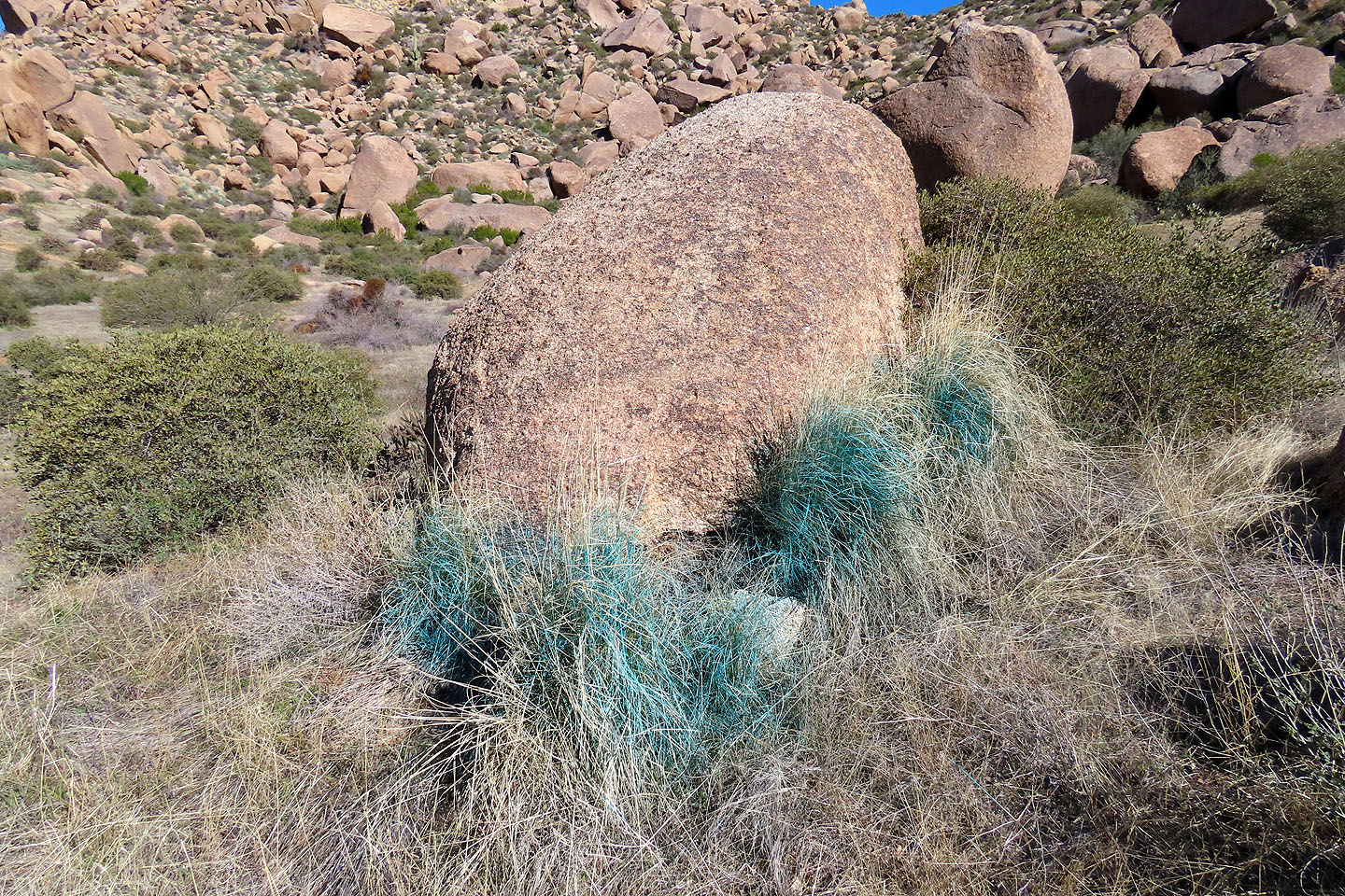
We saw grass painted blue in several places, likely marking invasive grass species
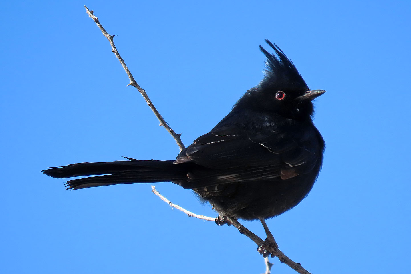
A male phainopepla
Heading back down
McDowell Peak (5.9 mi, 3944 ft, 1168 ft)