bobspirko.ca | Home | Canada Trips | US Trips | Hiking | Snowshoeing | MAP | About
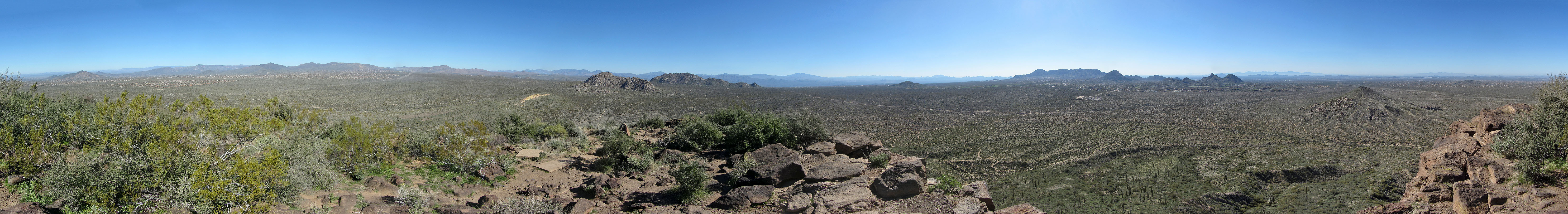
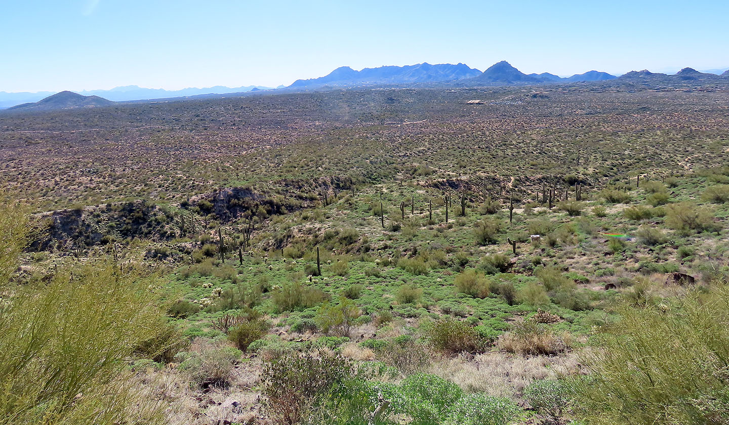
Panorama from Browns Mountain
Browns Mountain and Cone Mountain
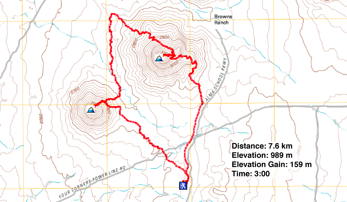
McDowell Sonoran Preserve, Arizona
January 29, 2023
Distance: 7.6 km (4.7 mi)
Cumulative Elevation Gain: 275 m (902 ft)
Browns Mountain is a small peak that's approached on an easy path, a trail so smooth you may see mountain bikers whiz by you. The trail crosses a pass east of the mountain and continues counterclockwise around the base of the mountain to complete a loop. A rocky trail from the pass runs to the flat summit.
Dinah and I climbed the mountain and hiked the loop. For added adventure, we ascended Cone Mountain west of Browns. Cone is smaller than Browns. It also has a circumference trail, but no path goes to the summit. However, it's a short hike to the top. The huge granite boulders on its slopes distinguish Cone from the cliffy Browns.
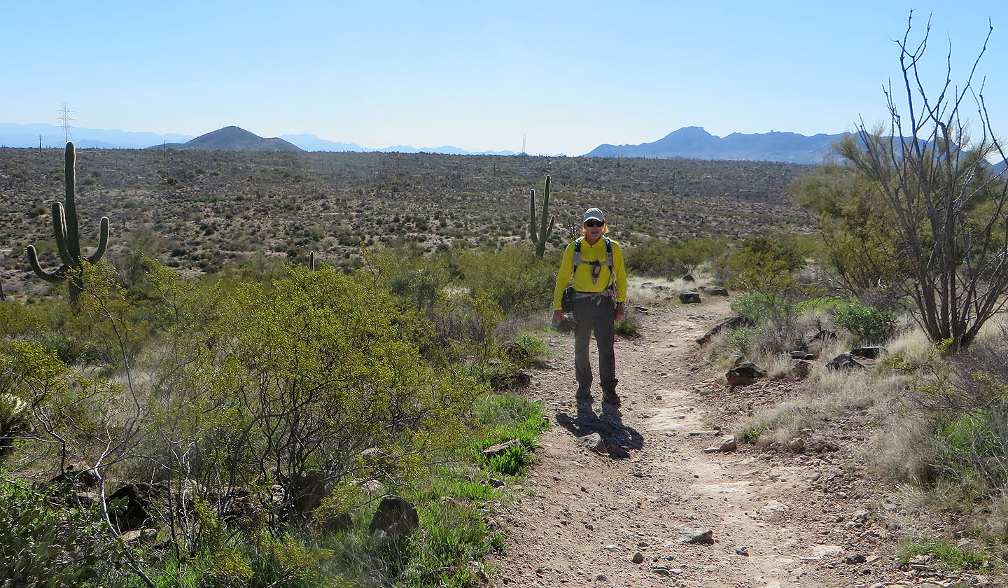
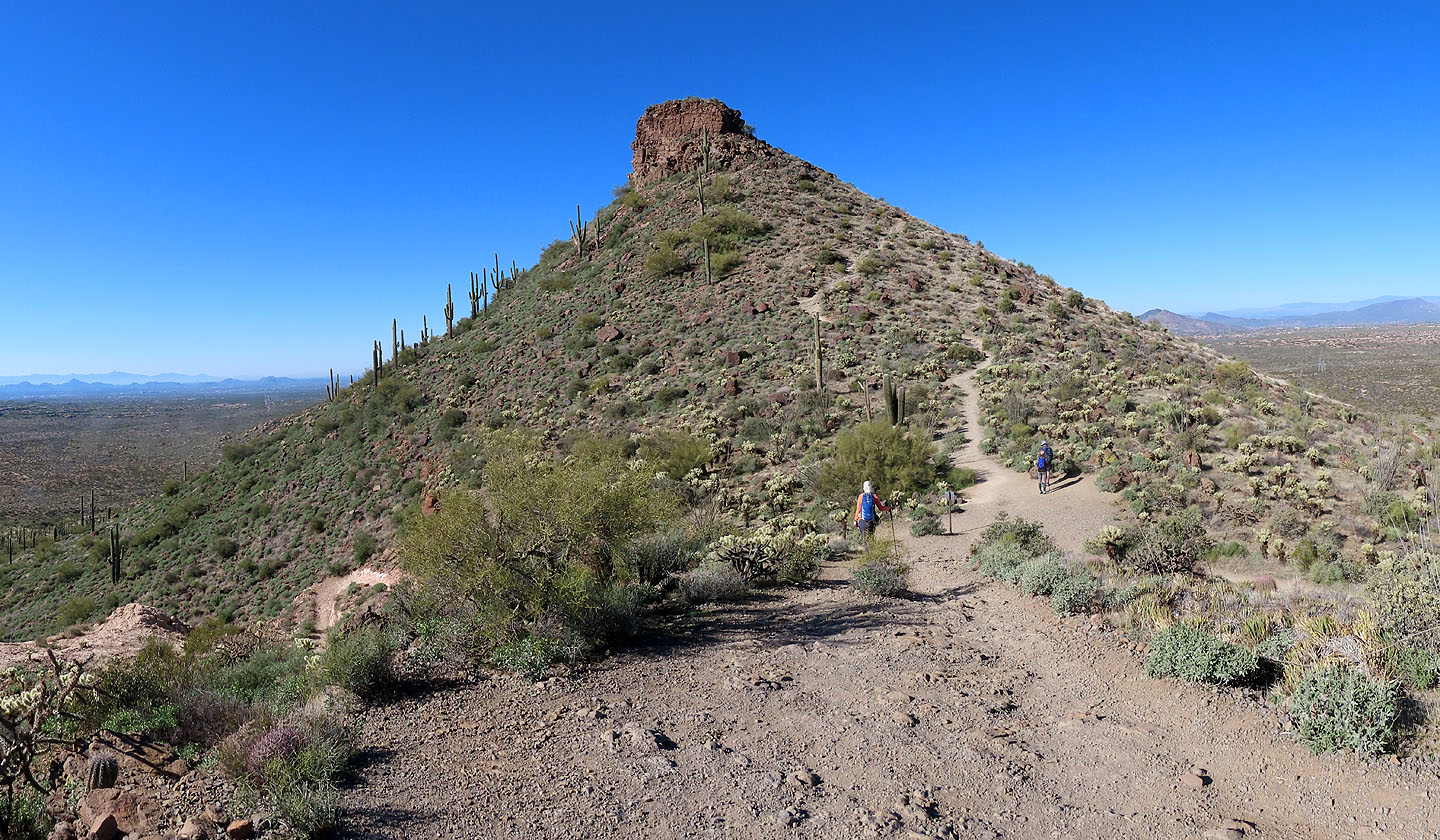
At the trailhead there's an information centre, and representatives were on hand to answer questions. But we had none. The trail is signed and the two mountains are obvious. We walked the trail a short distance and turned right at the fork, the beginning of the loop around Browns Mountain.
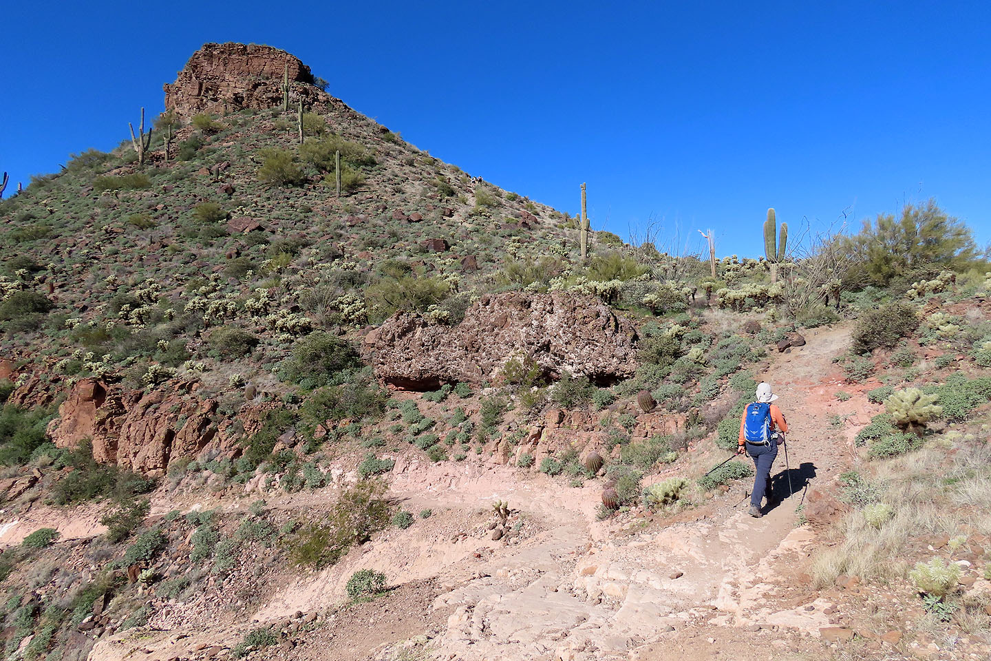
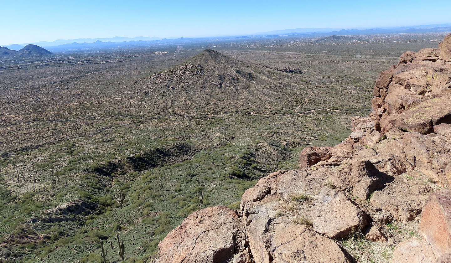
The trail makes little effort to climb until it reaches the base of Browns Mountain. Then it skirts a yellow cliff band before rising to reach the pass. The trail from the pass to the summit is a bit rocky, so I didn't expect to see bikes here. The top is level and bounded by cliffs on three sides; desert scrub competes with dark boulders for summit space. The views are far-ranging, although peaks are too distant to make out features. We took photos and returned to the pass.
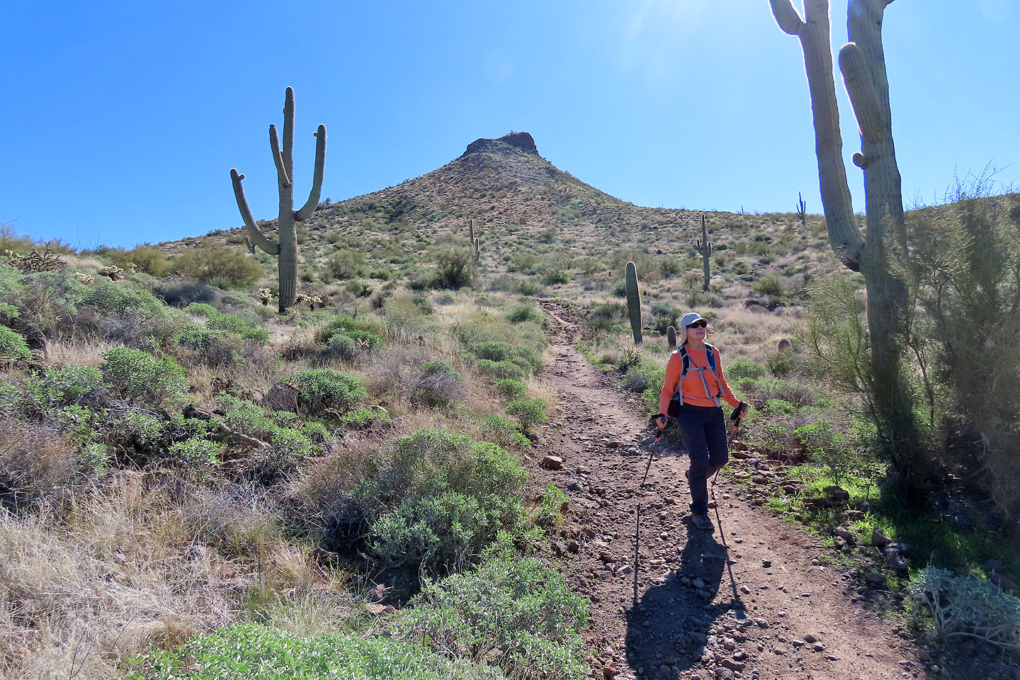
Back on Browns Mountain Trail, we followed it down and around the mountain. After passing a fine array of saguaros, Cone Mountain came into view. It quickly became evident that the west slope, bereft of boulders, was the most practical route. We left the trail and went up the slope. It was a bit steep near the summit, but still just a hike. From the top, we had a good view of Browns Mountain as well as Browns Mountain Trail.
Our descent diverged slightly so that we could hike through the enormous granite boulders marking the lower slope. It was a delightful way to finish our trip up Cone Mountain before getting back on the trail and returning to the parking lot.
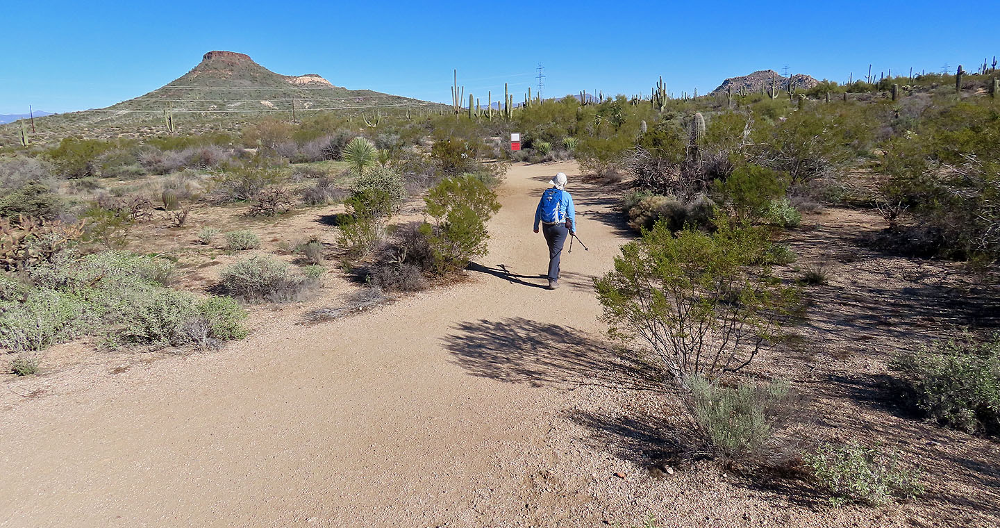
Starting up Browns Mountain Trail
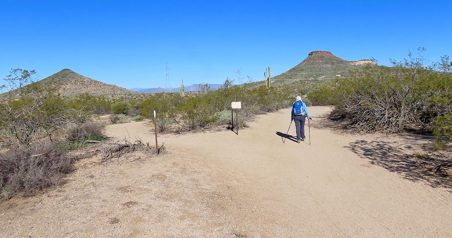
A few minutes later, we reached the start of the loop. Cone Mountain is left and Browns Mountain right.
The main trail goes over the pass, but a side trail from the pass climbs to Browns summit
Looking back, Tom's Thumb is barely visible (mouse over to indicate). Fraefield Mountain left.
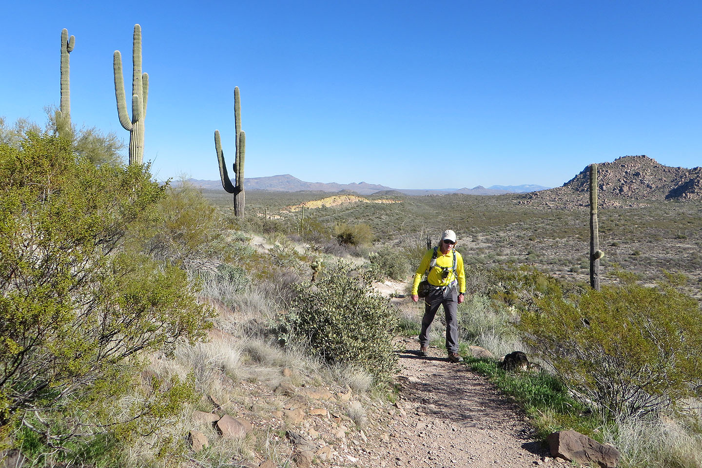
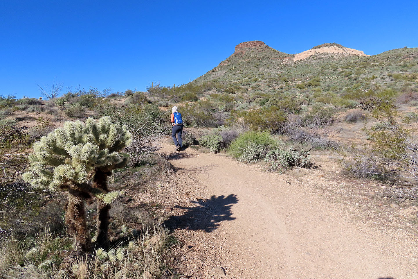
We passed a few saguaros
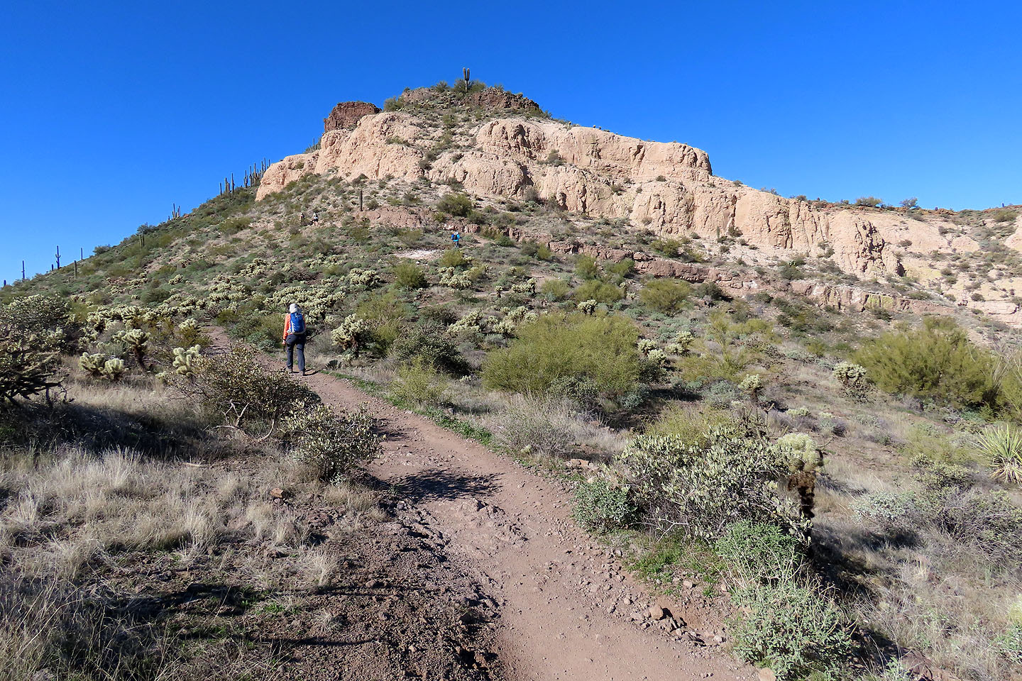
The trail goes around a cliff band
Going up the pass
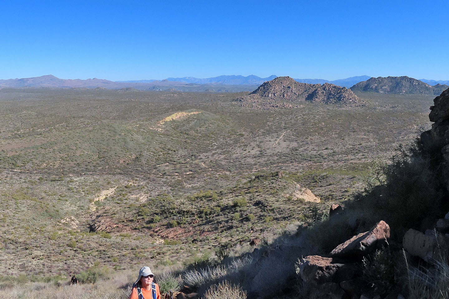
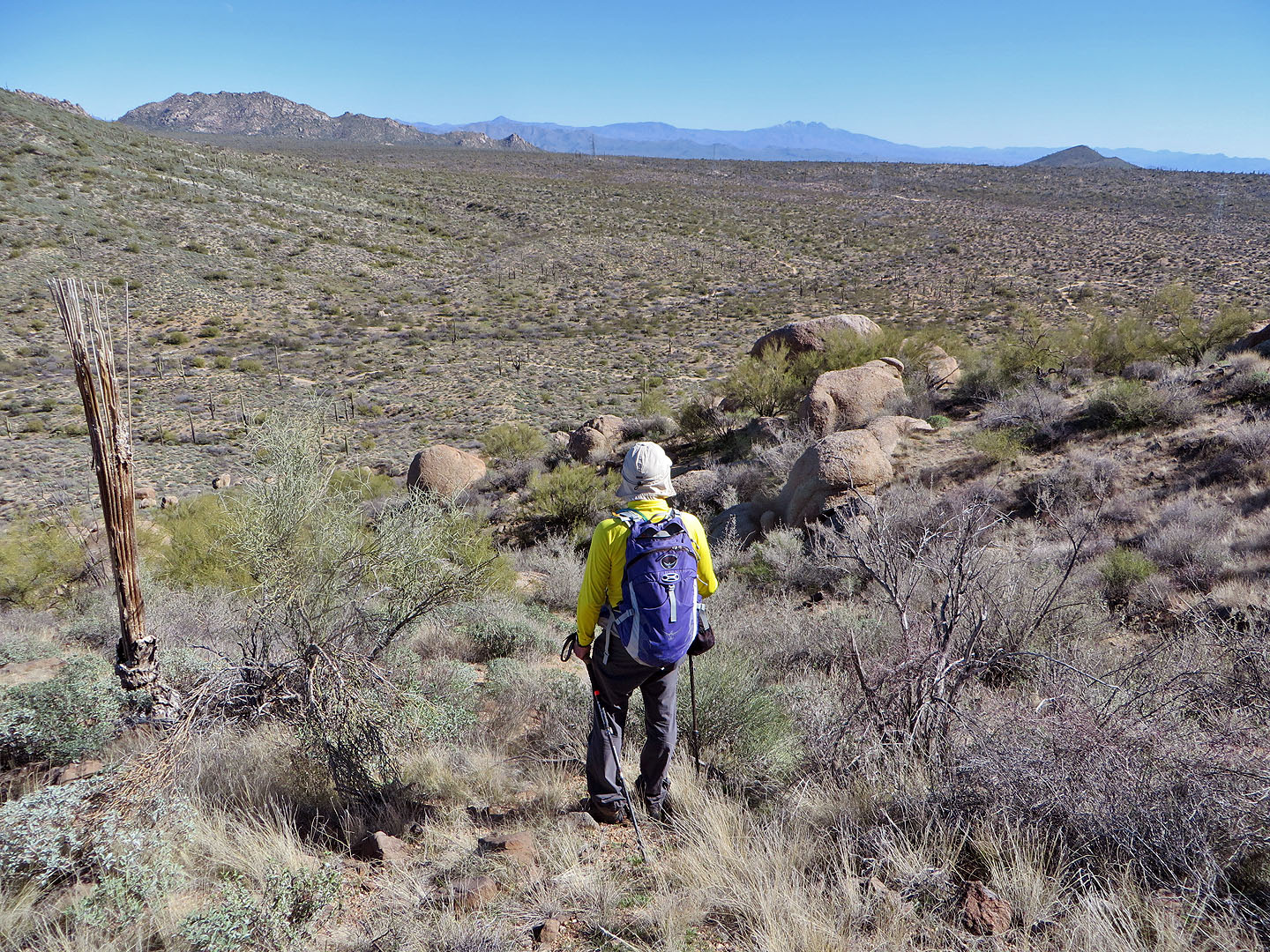
Looking across the desert flats at McDowell Mountains
Starting up the trail to the summit
Looking down at the pass
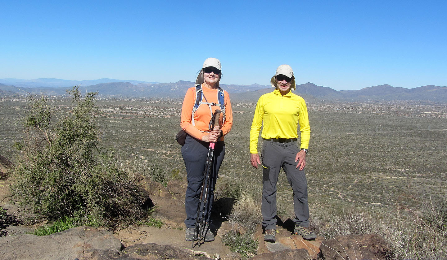
Standing on Browns Mountain
Cone Mountain seen from the summit
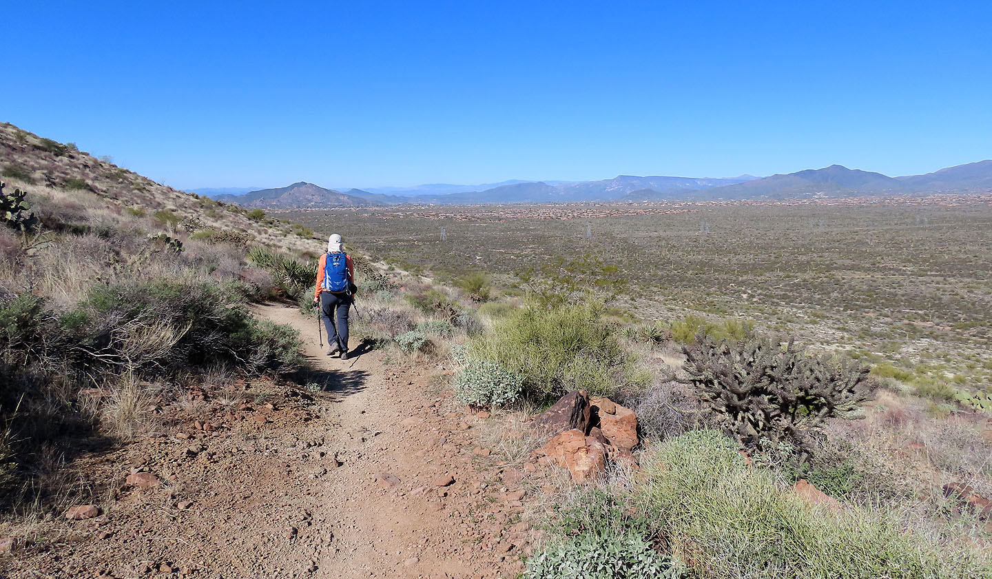
We followed the trail as it drops down to the desert flats
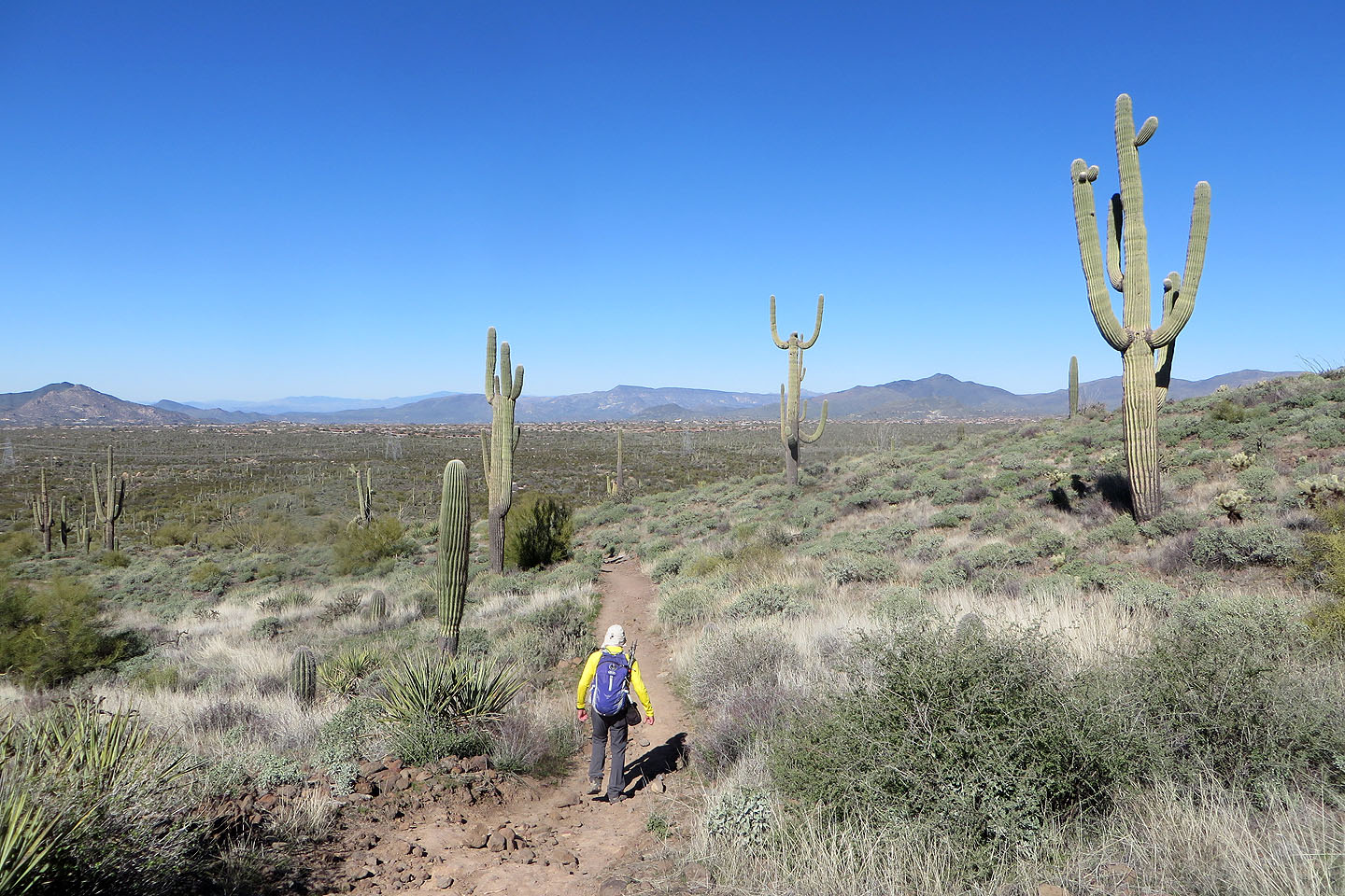
The trail meanders through Saguaros
Looking back at Browns Mountain
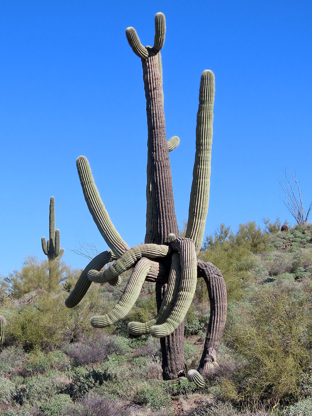
This cactus is a bit unusual
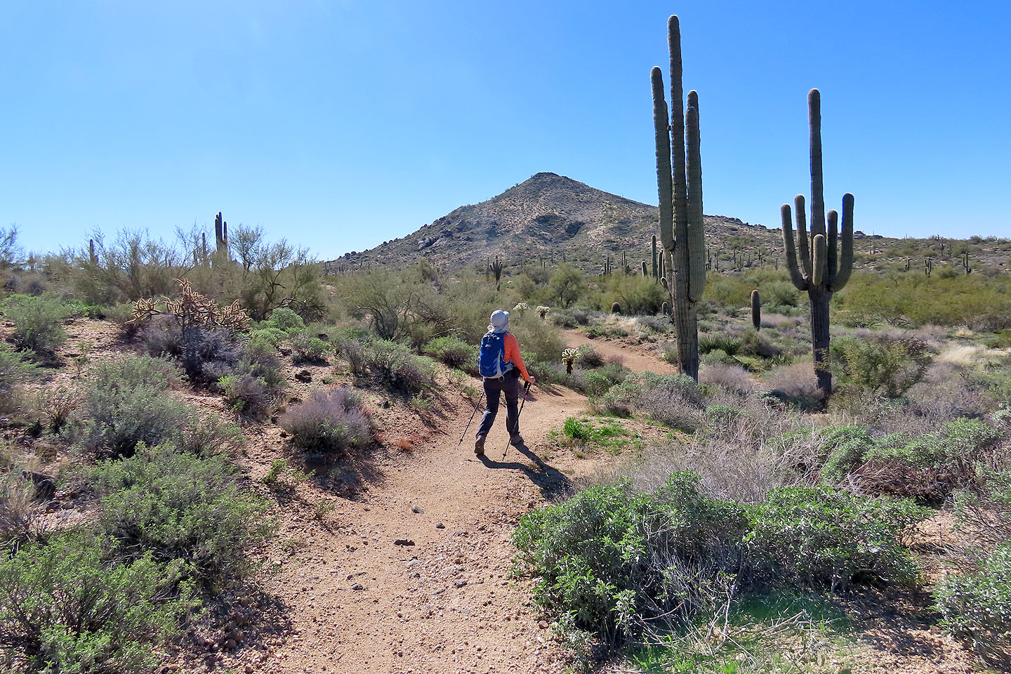
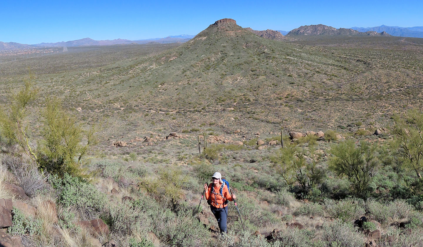
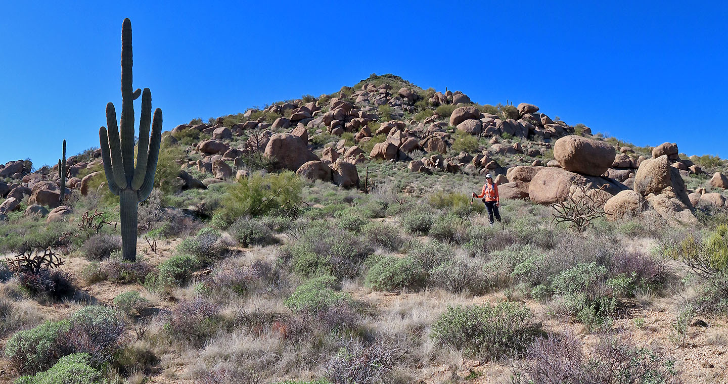
Cone Mountain ahead
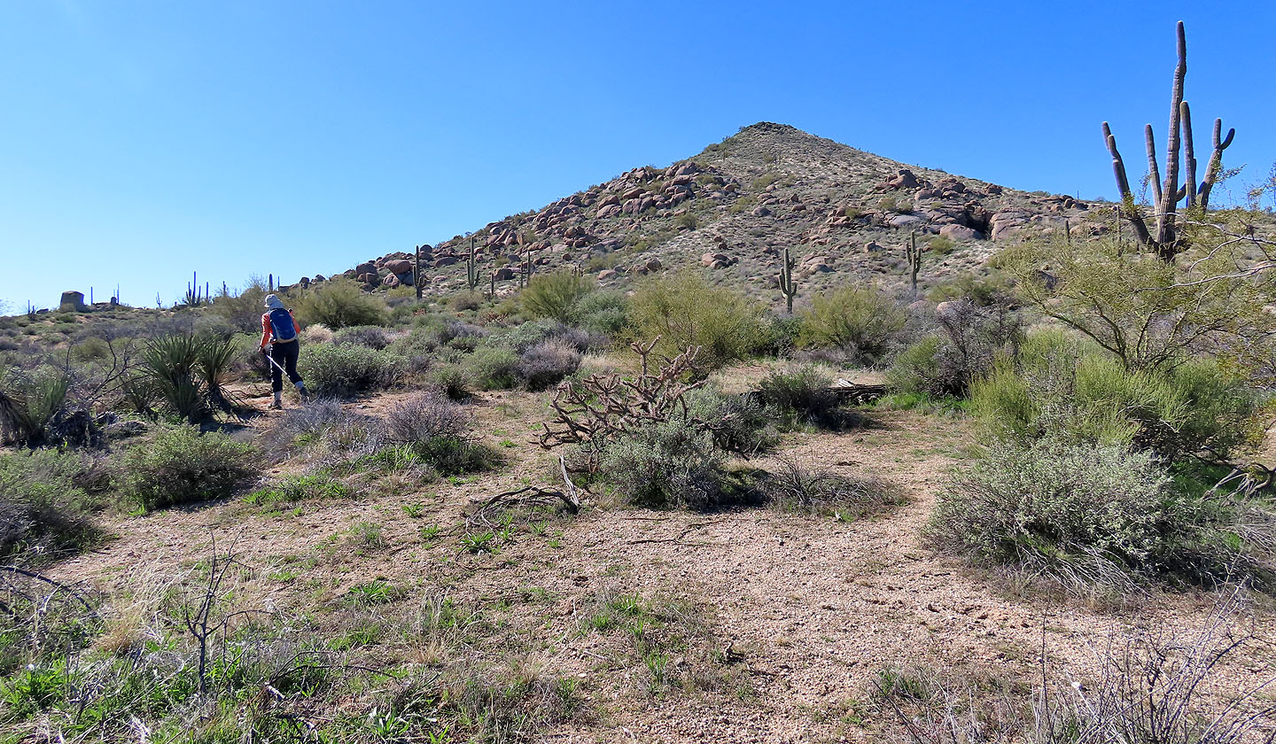
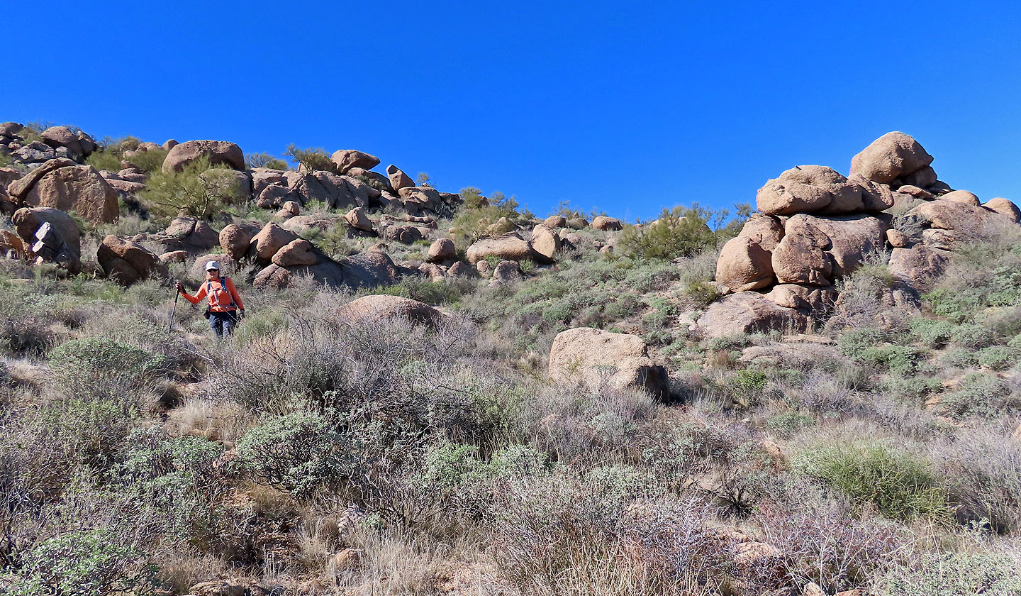
We stepped off the trail and made our way to base of the mountain
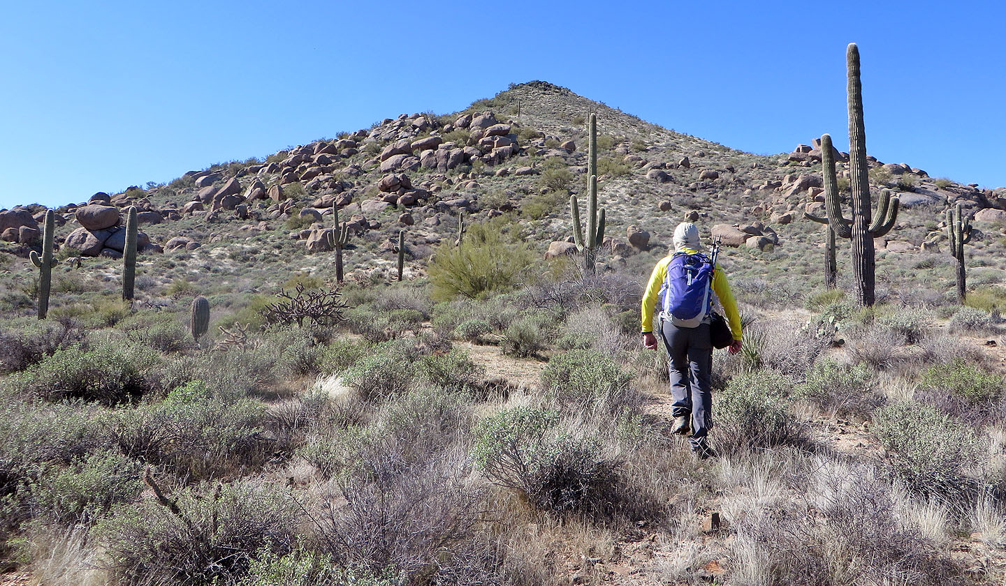
We picked a slope free of boulders
Looking back as we approached the summit. Notice the trail below that we were on.
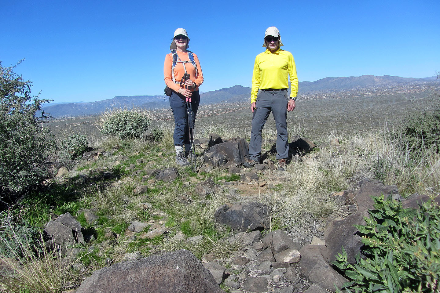
On the summit of Cone Mountain
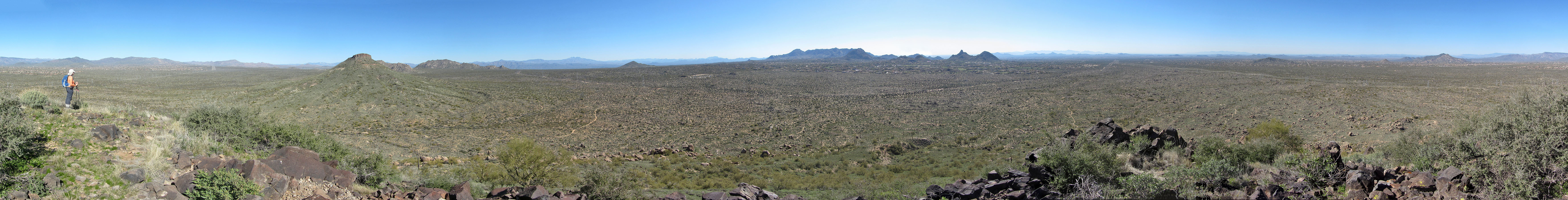
Summit panorama
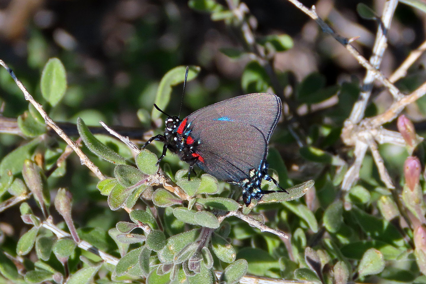
Great purple hairstreak butterfly on the summit
Heading back to the trail
We came down through the granite boulders
 Looking back from the base of Cone Mountain
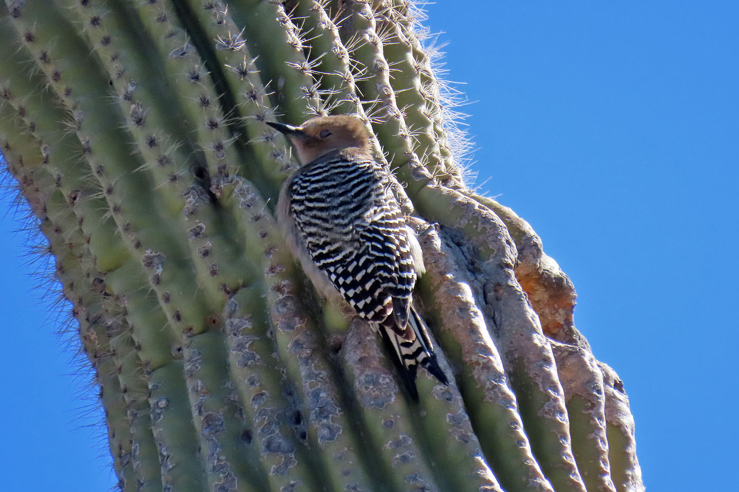
Gila woodpecker
Wildcat Hill (4.7 mi, 3245 ft, 843 ft)