bobspirko.ca | Home | Canada Trips | US Trips | Hiking | Snowshoeing | MAP | About

Rummel Ridge
Kananaskis Park
January 10, 2016
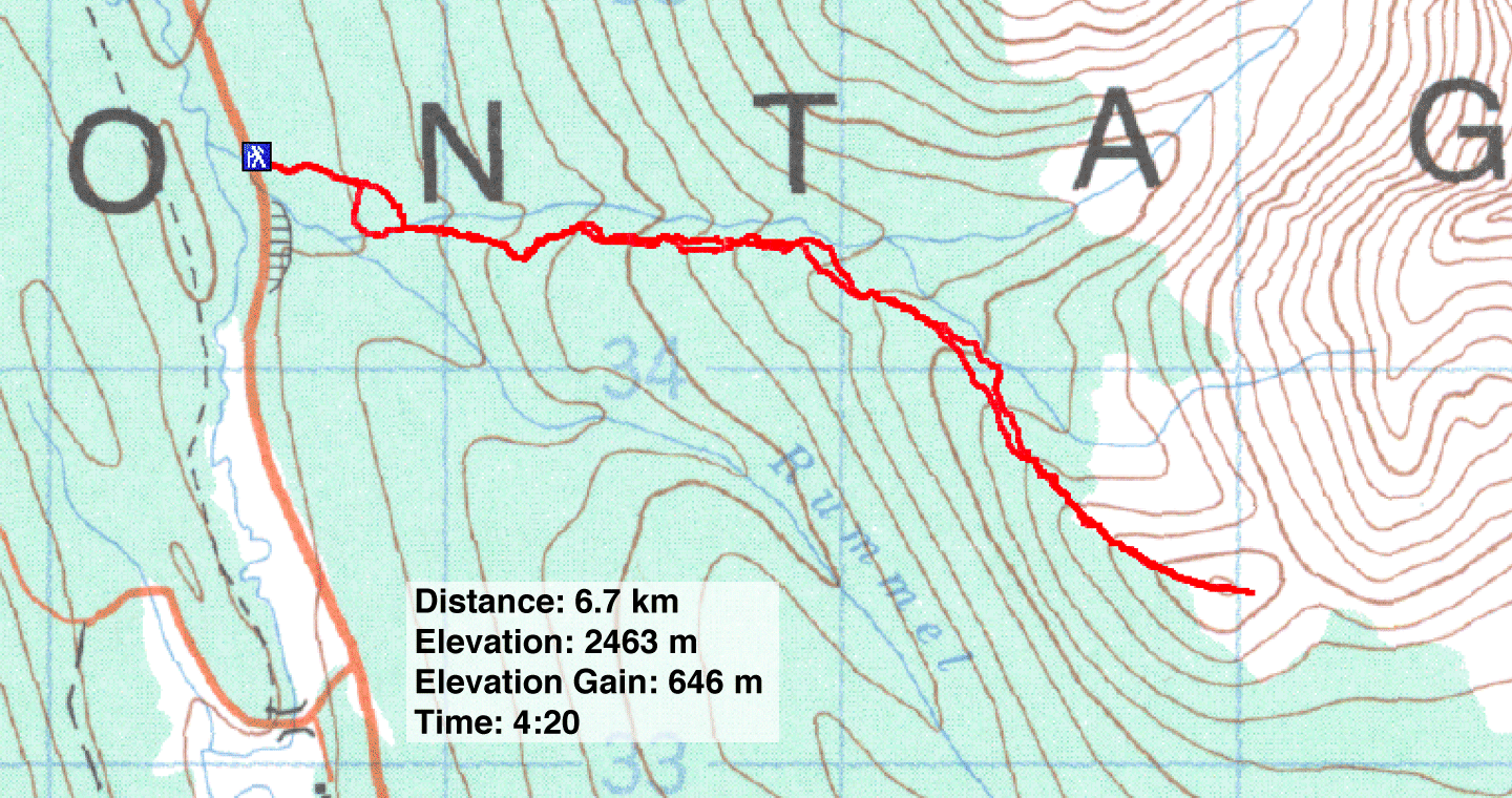
Distance: 6.7 km (4.2 mi)
Cumulative Elevation Gain: 660 m (2165 ft)
When I snowshoed and traversed Rummel Ridge in 2004, the northwest approach was still fresh and original. However, when I recently returned it was a veritable highway, a trail trampled into the snow. Since we had to be back in Calgary early, that made it easier.
Zora, Kari, Keith and I drove down Smith-Dorrien Trail and parked on the roadside just north of Rummel Creek. A popular spot, there were already a few cars parked here, and a large snowshoeing group was starting up an obvious trail, broad and pounded down by skis. Where that trail went, I don’t know, because after snowshoeing up it for 300 m, we left it and headed to the northwest end of Rummel Ridge. After crossing a side drainage, we caught a good trail going up the ridge. Actually, a few snowshoe trails weaved along the ridge, but we tried to stick close to the crest.
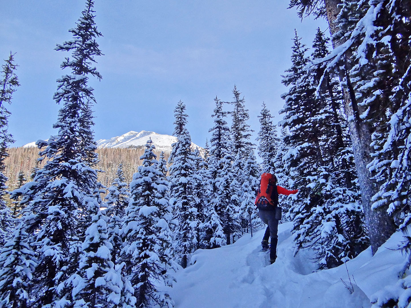
Travelling through trees we lost sense of how high up the ridge we were, but when we encountered larches we knew we were closing in on the summit. Then the trees fell away, and we had a glorious view of Spray Lakes behind us. A bit more tramping in the snow brought us to the top of Rummel Ridge.
On the summit, we met two hikers. Hikers? We learned one had forgotten to bring snowshoes and the other had decided to go without. But whether you snowshoe, hike, or crawl to the summit of Rummel Ridge in winter, the surrounding snow-covered peaks will appear equally splendid.
Postscript: After posting this trip I heard from Alf Skrastins. He suggests staying on the main trail – actually a firebreak – to a fork in the creek:
"The route that most people use to go up the north side of Rummel Creek is a firebreak. It is a great snowshoe/ski route on its own and leads to open/burned slopes on Mt. Engadine and some fine viewpoints.
If you continue on the firebreak to the fork with the creek on the NE side of Rummel Ridge, there is easy access to Rummel Ridge. It's only 100 m or so from the creek junction and a short climb to get onto the ridge. It also avoids a great deal of boring trudging through the trees.
You can make a loop by descending to the col and walking out the valley on the NE side, or by descending the slopes on the south side of the summit to get to the Rummel Lake snowshoe trail."
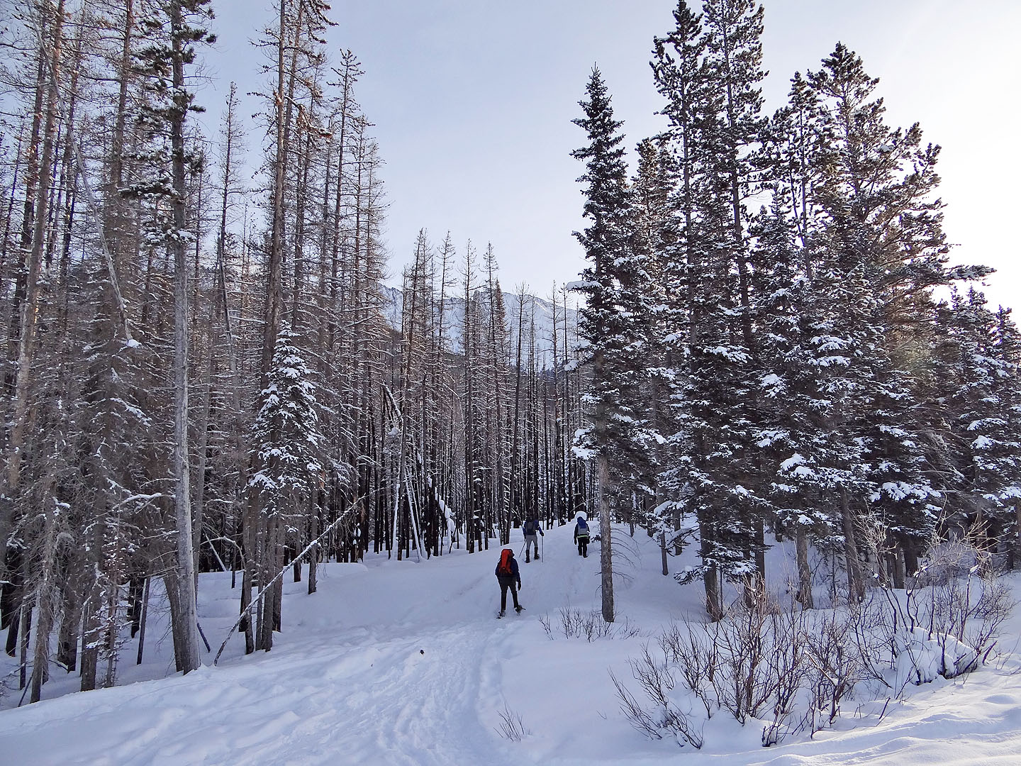
From the road, we started down an obvious winter trail north of Rummel Creek
Crossing a side drainage
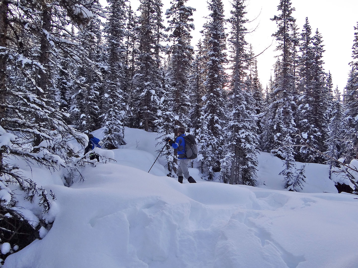
Going up the ridge
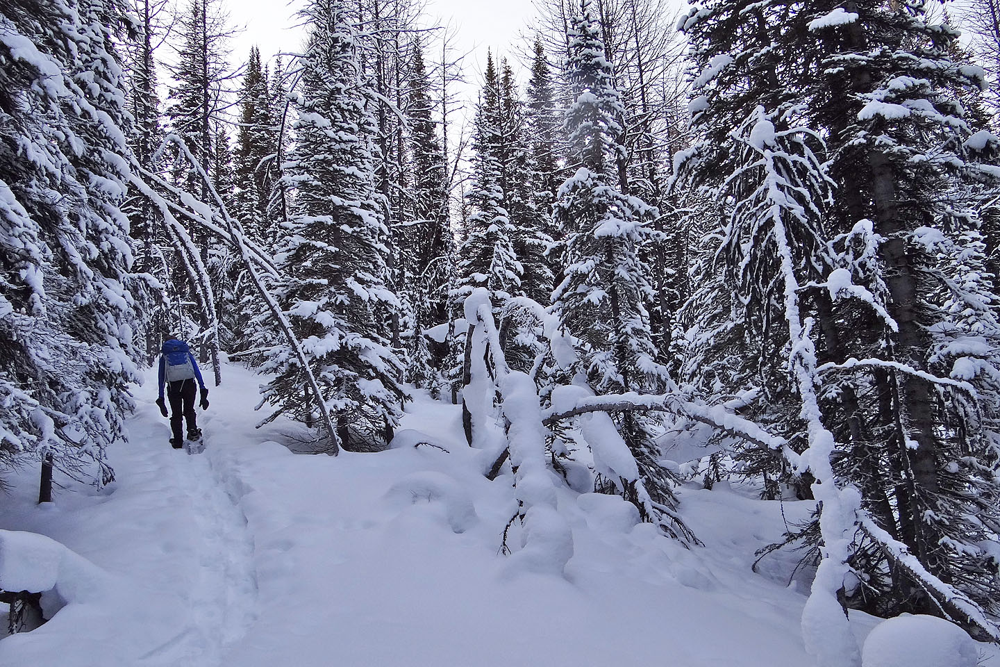
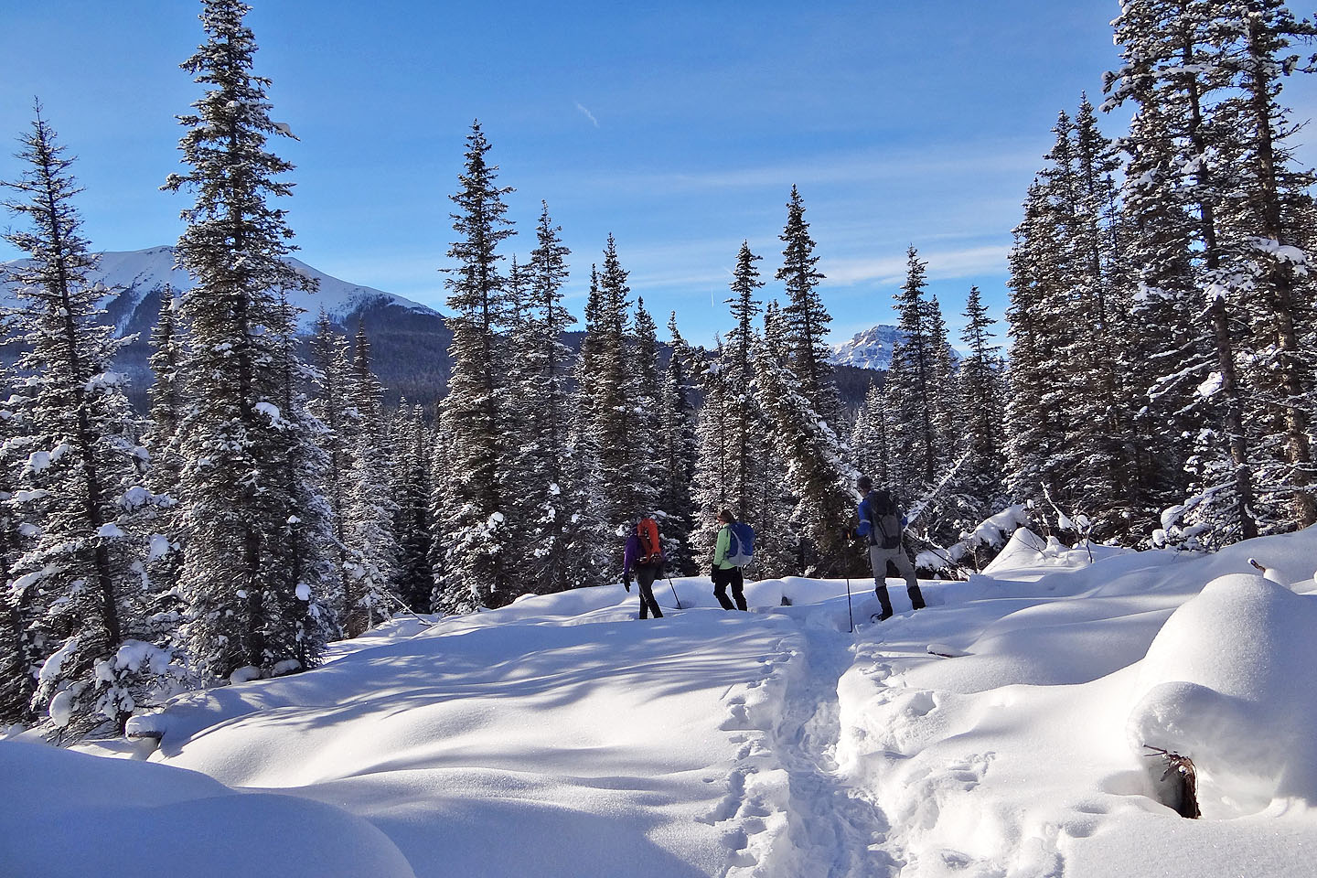
Because of trees, there is little to see on most of the ridge
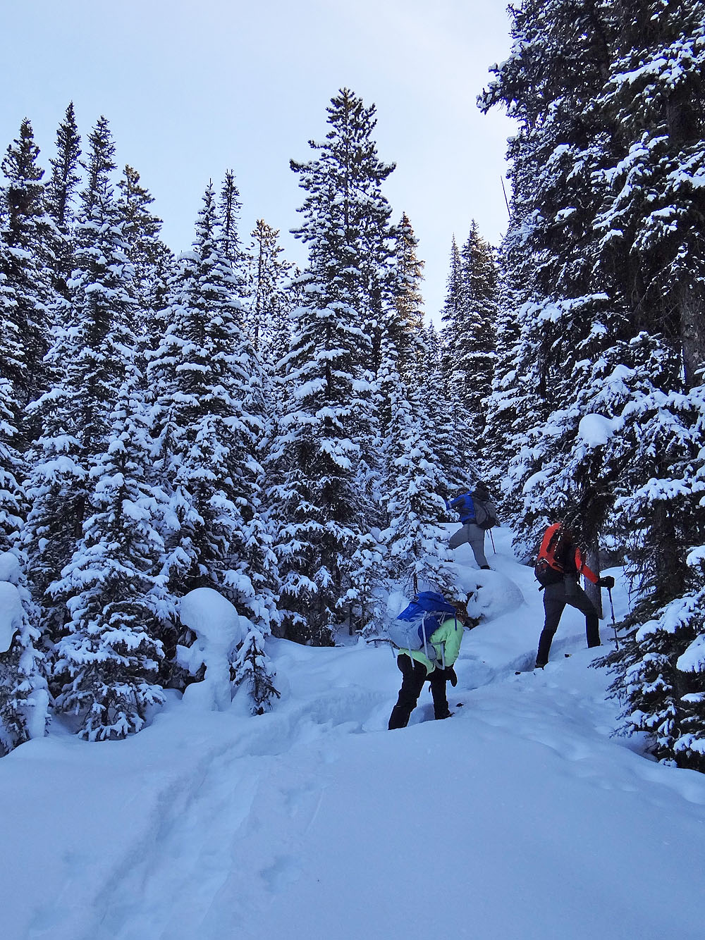
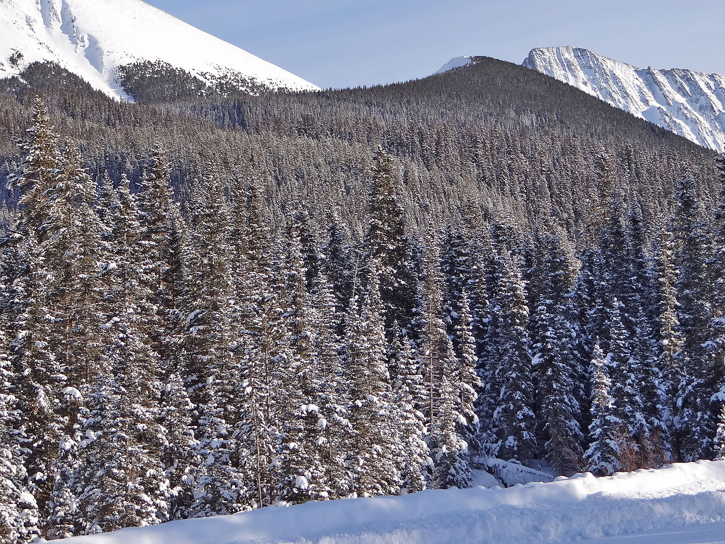
Tiny glades brought some relief from being in a forest
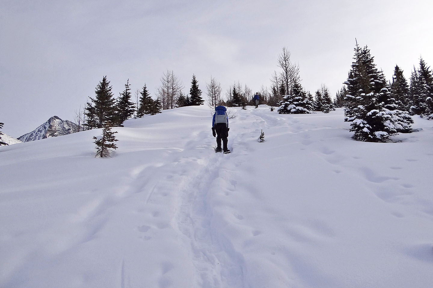
We finally broke free of the forest
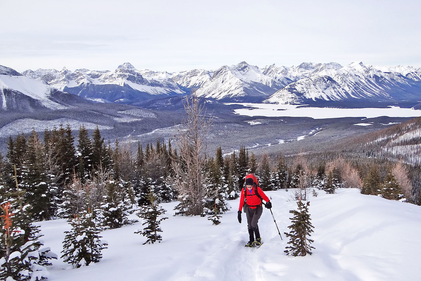
Expansive views behind us
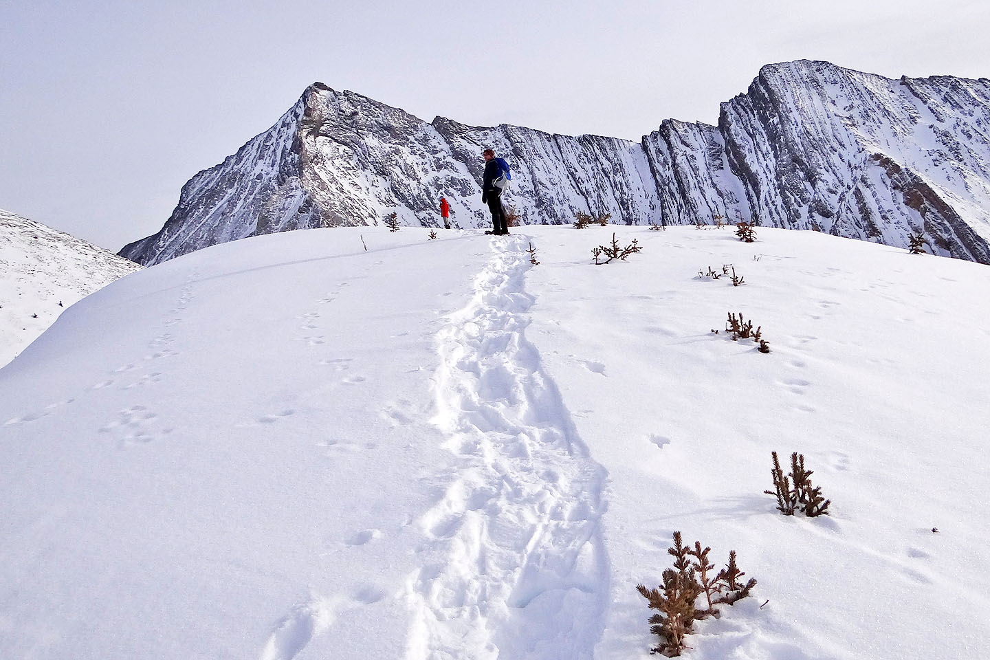
Keith (red jacket) waits on the summit
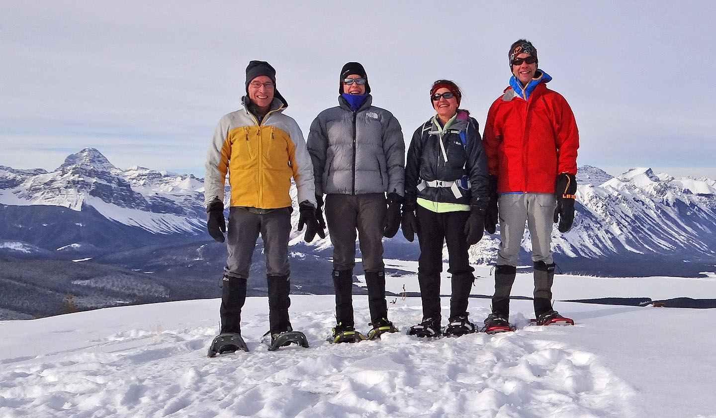
Me, Kari Haas, Zora Knezevic, and Keith Ferguson

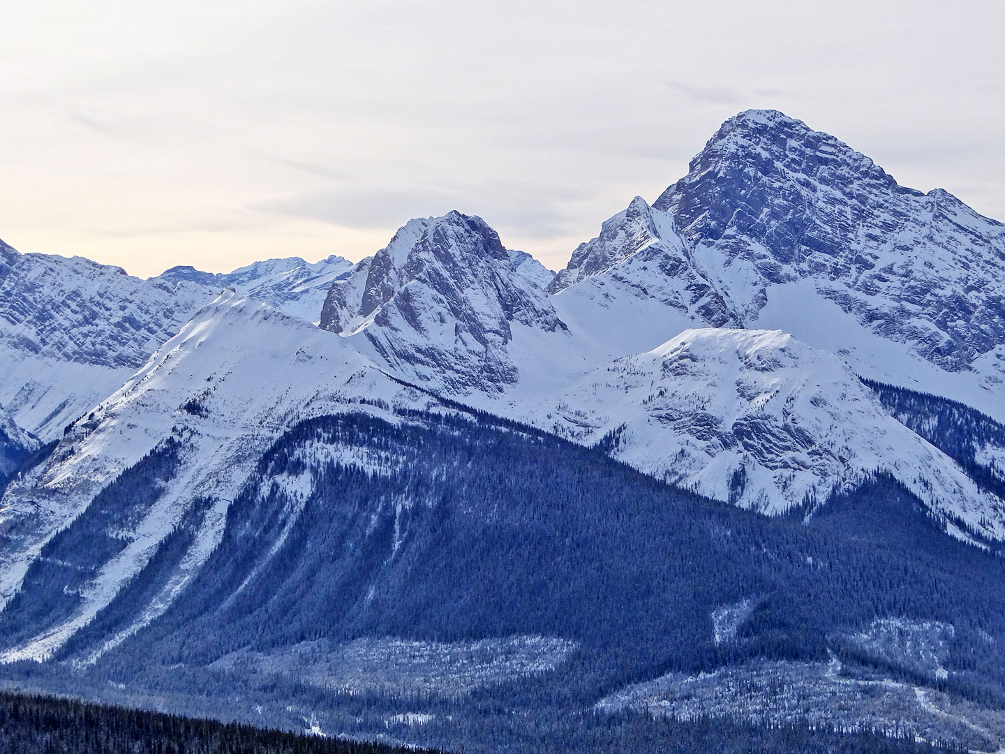
Mount Smuts, The Fist and Tent Ridge. Lower left is the East Ridge of The Fist, a snowshoe trip.
In the foreground, Commonwealth Ridge, a snowshoe/scramble trip
Heading back
From the road, Rummel Ridge isn't much to look at
82 J/14 Spray Lakes Reservoir