bobspirko.ca | Home | Canada Trips | US Trips | Hiking | Snowshoeing | MAP | About
Rummel Ridge
Kananaskis
February 21, 2004
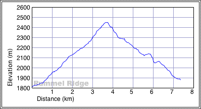
Distance: 7.4 km (4.6 mi)
Cumulative Elevation Gain: 660 m (2165 ft)
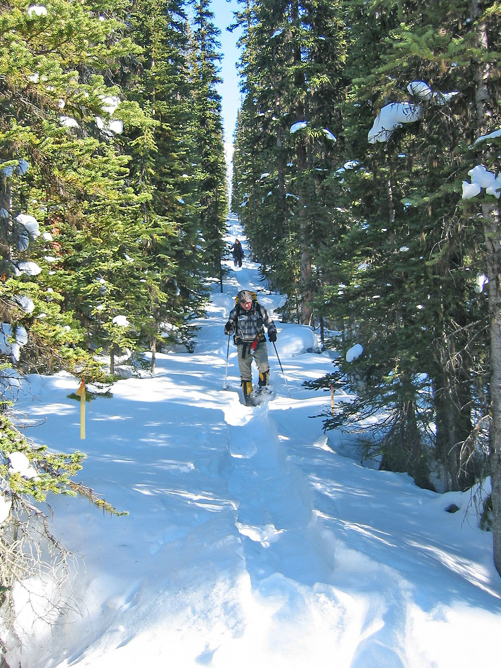
We snowshoed up Rummel Ridge as a car shuffle starting at Rummel Creek (signed) on Smith-Dorrien Trail. After starting out, we keep left of the creek and headed to the northwest end of the ridge. We followed the ridge to the top. From the top, we dropped to the col and descended the southeast slope a short way before turning south. We were careful to avoid the avalanche slope on our right. Once in the trees, we angled down toward the cutline and followed it back to the highway.
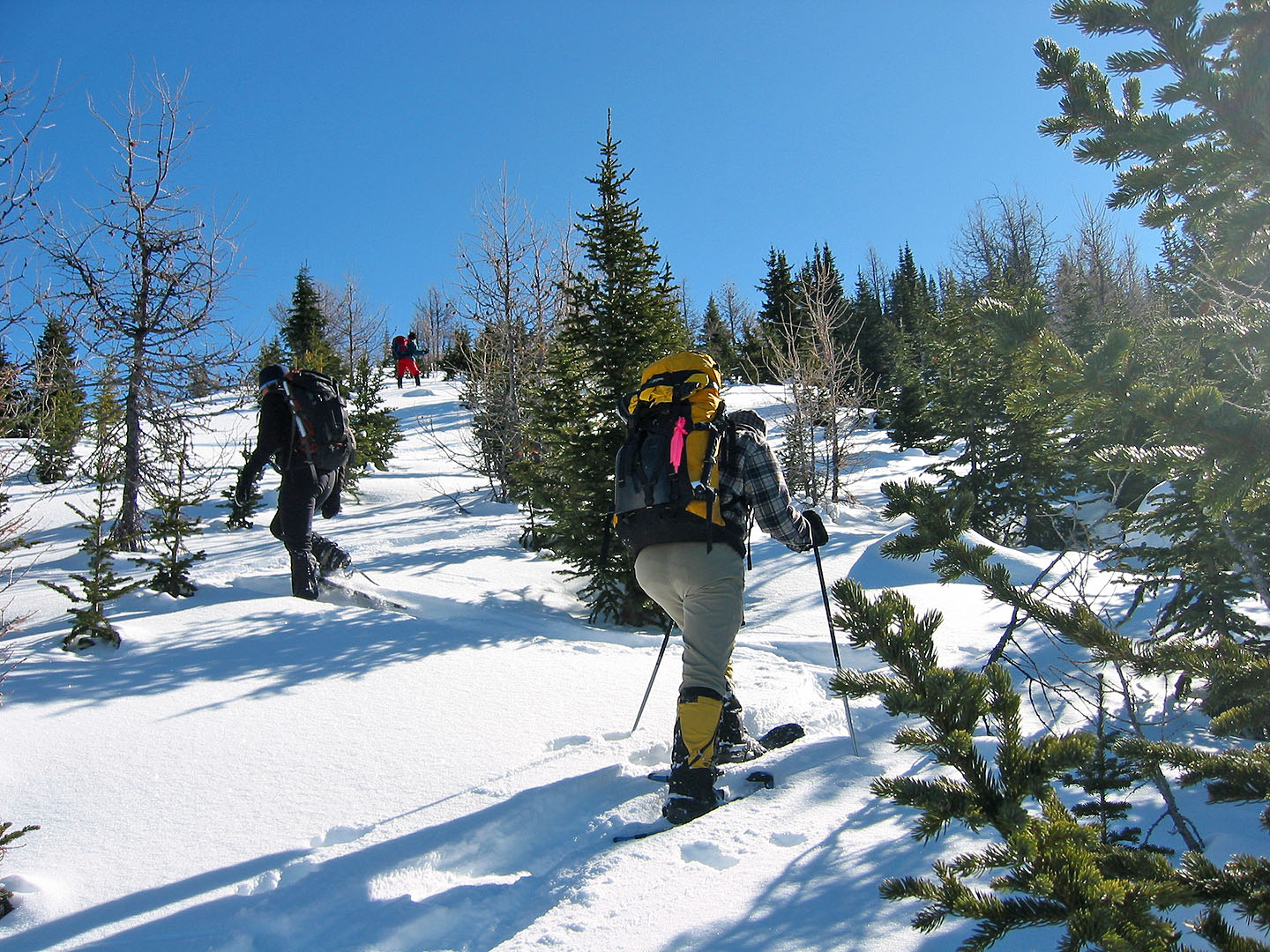
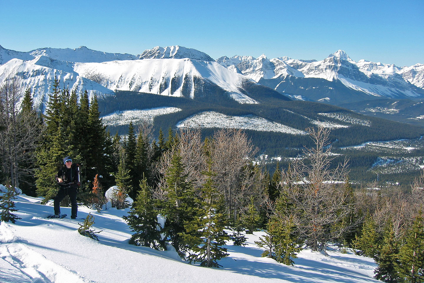
Heading up the ridge
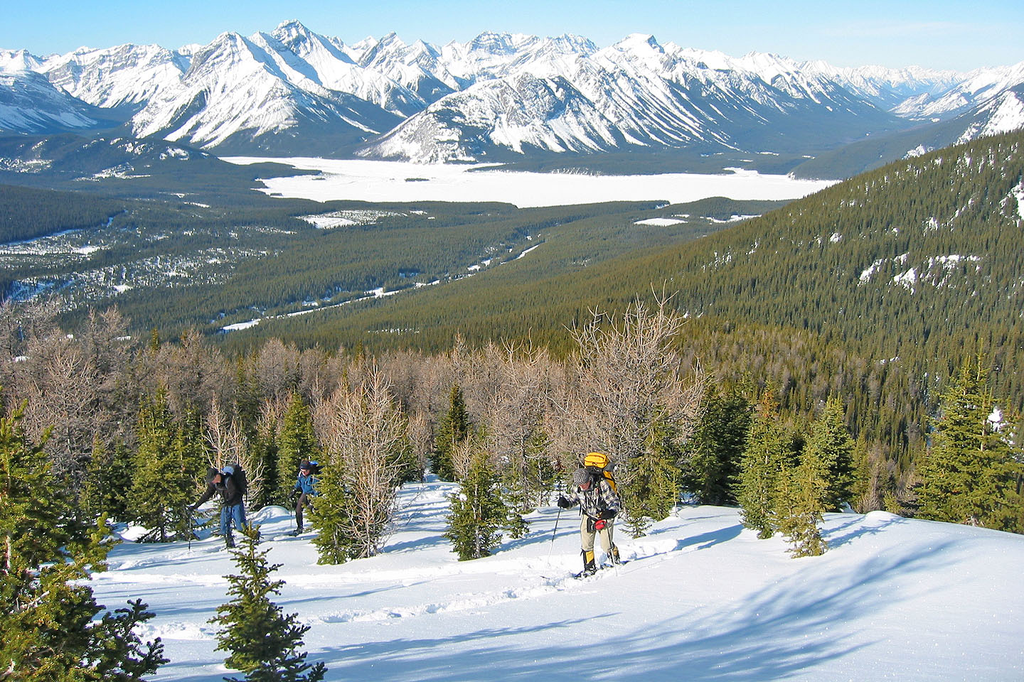
Reaching the treeline. Spray Lake in the background.
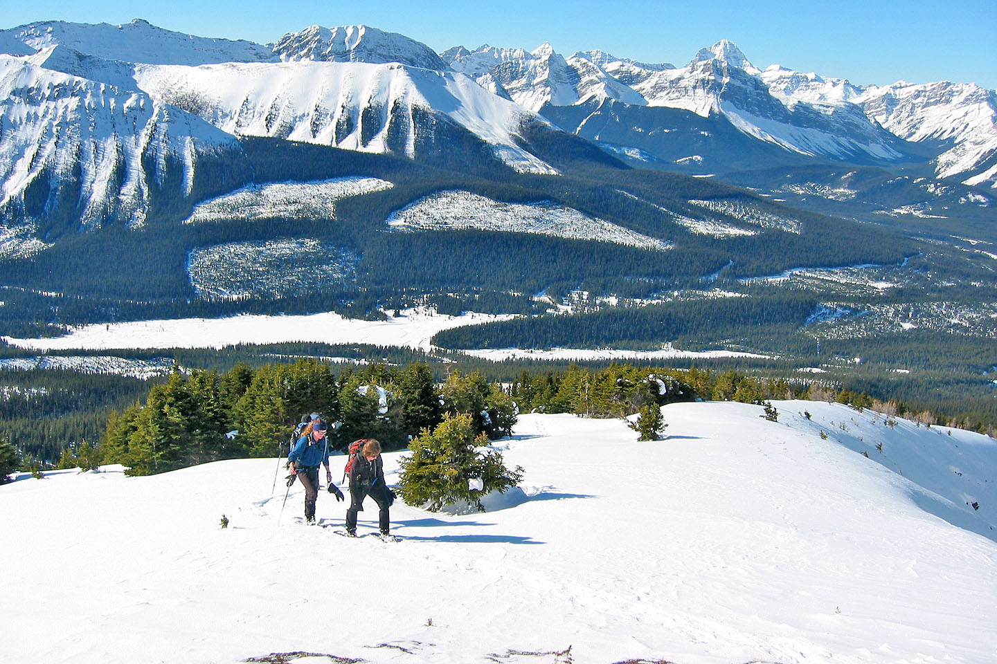
Tent Ridge in the background
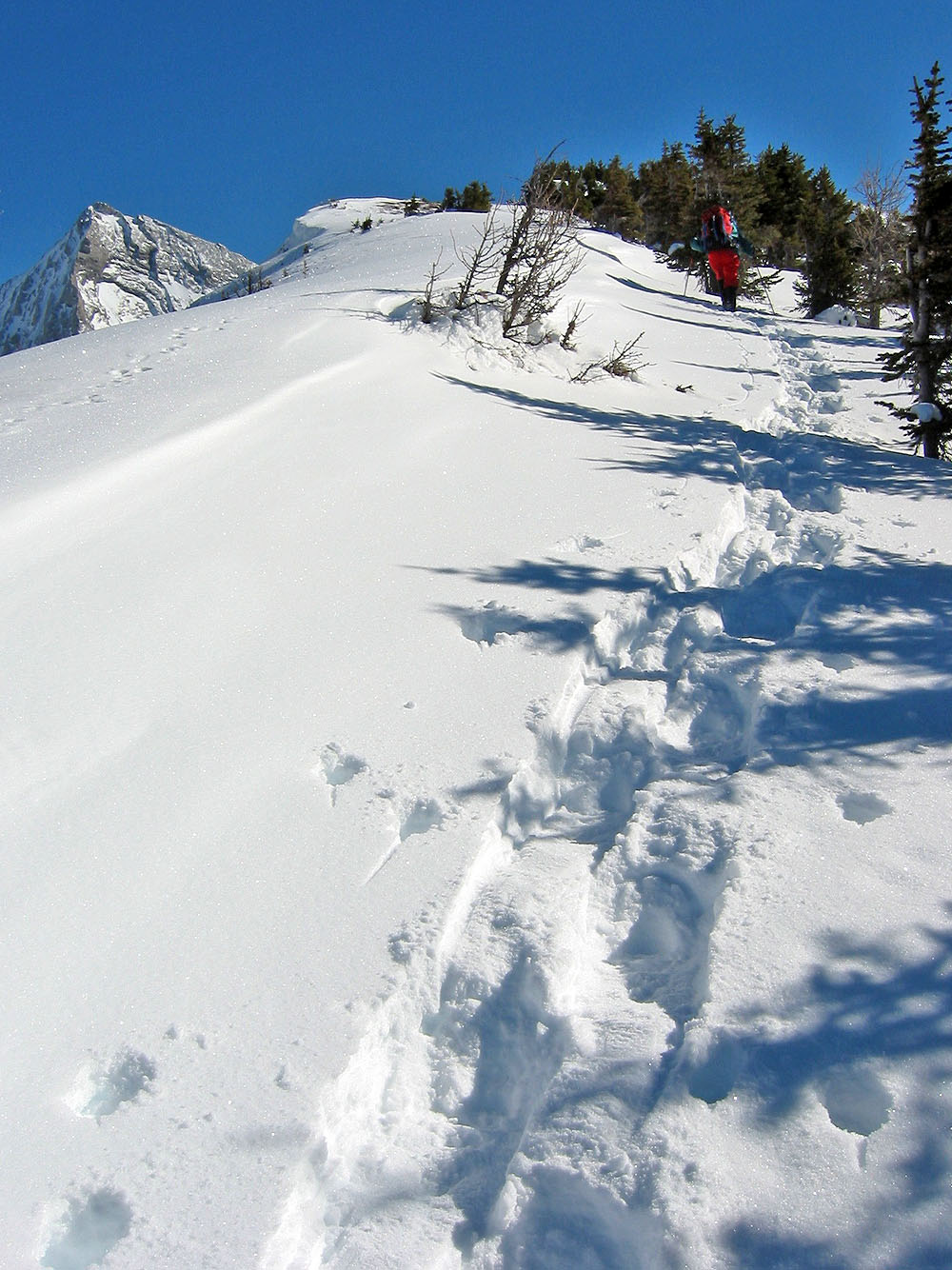
Following the ridge crest to the top. Keep away from the cornice!
Almost at the top
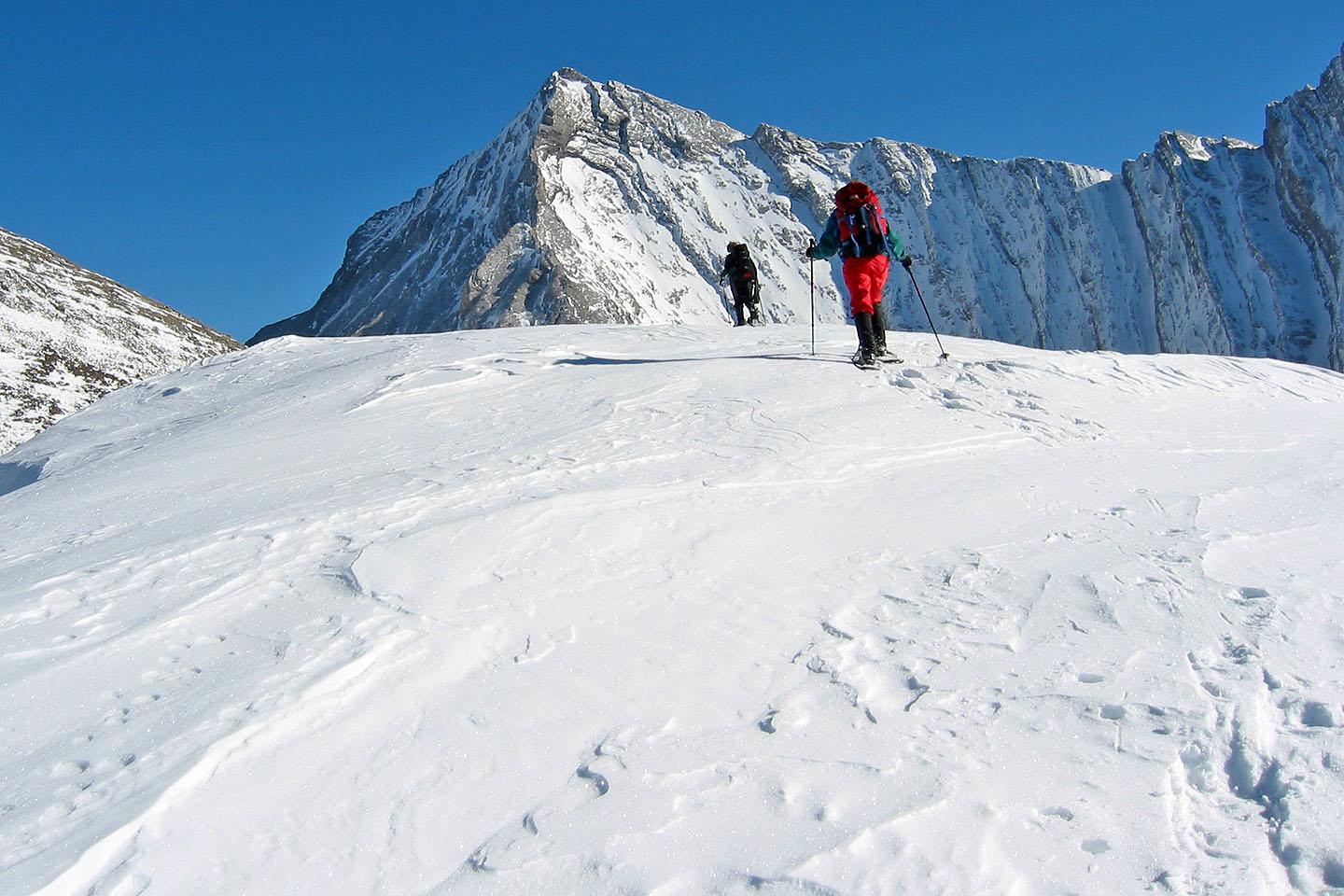
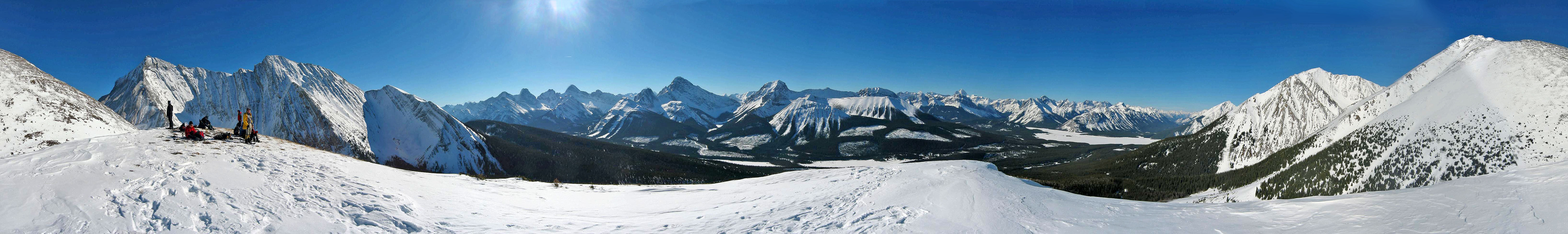
Mount Galatea looms over the top
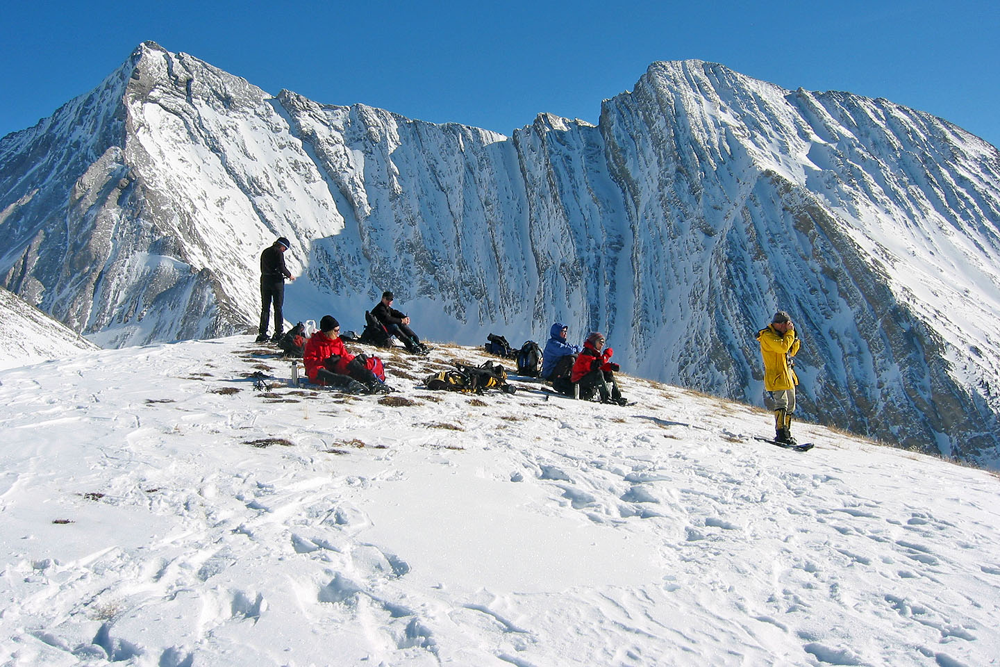
On top of the ridge
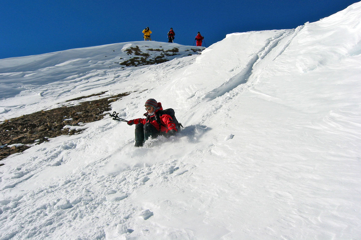
Sliding down the backside
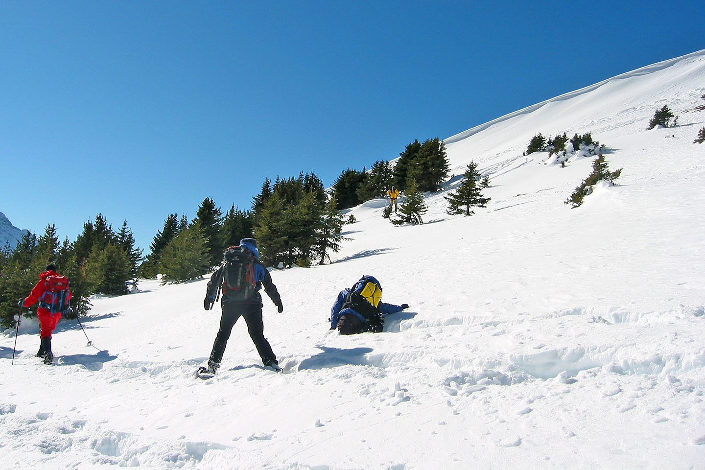
Tripping in the snow
Emerging from the trees at the bottom of the avalanche slope
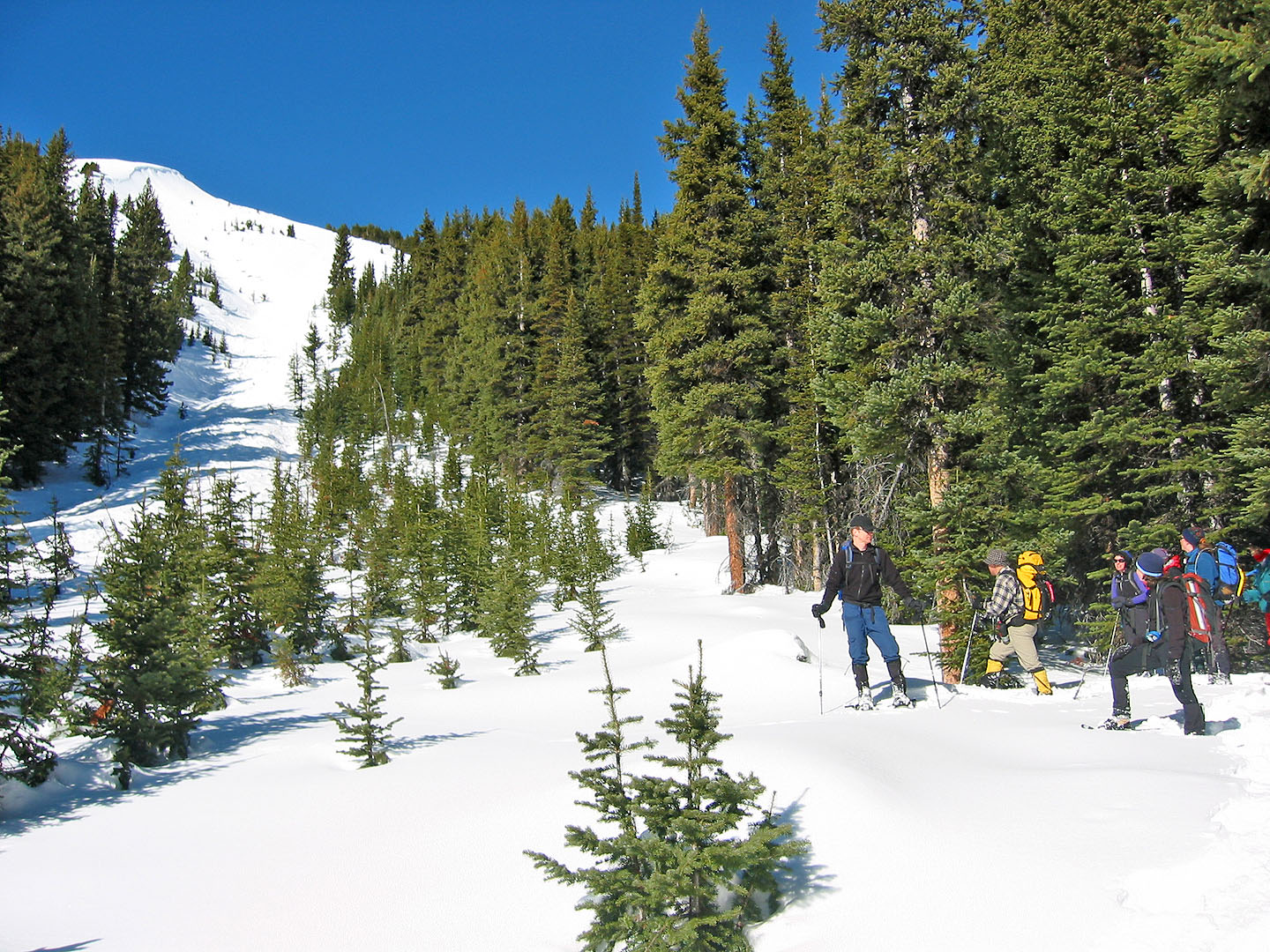
Returning on the cutline
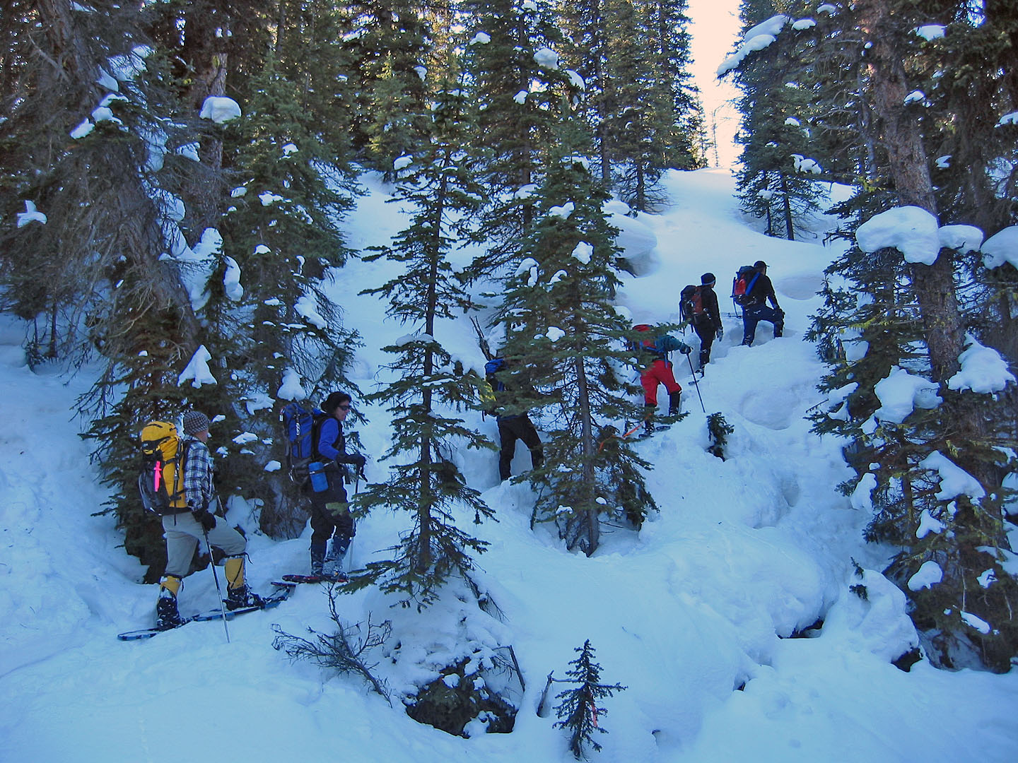
After dropping down to Rummel Creek we ascended the other side
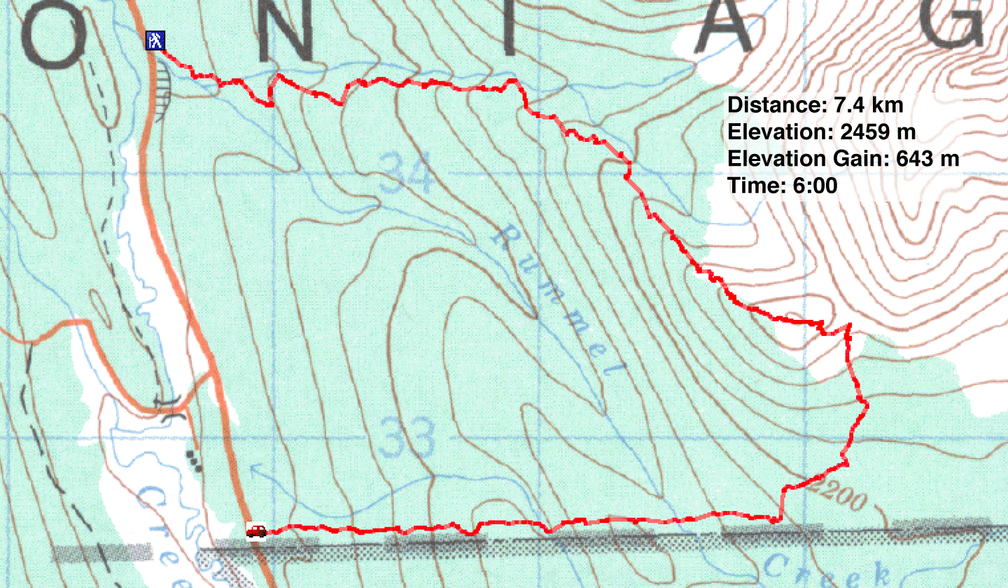
82 J/14 Spray Lakes Reservoir