bobspirko.ca | Home | Canada Trips | US Trips | Hiking | Snowshoeing | MAP | About
Bow Peak South End
Icefields Parkway, Banff, Alberta
January 21, 2001
Distance: 14.2 km (8.8 mi)
Cumulative Elevation Gain: 550 m (1804 ft)
Reprising our 1999 trip, Rick led a Hostel Outdoor Group trip up the south end of Bow Peak. From a pullout on Highway 93, we headed west. We lost 40 m of elevation before crossing a snow bridge over Bow River. We continued west to reach the end of the south ridge where we began climbing. Because of avalanche concerns, we didn't attempt to climb higher to the open plateau as we did before, but stayed in the trees. Even so, we found clearings where we were treated to good views.
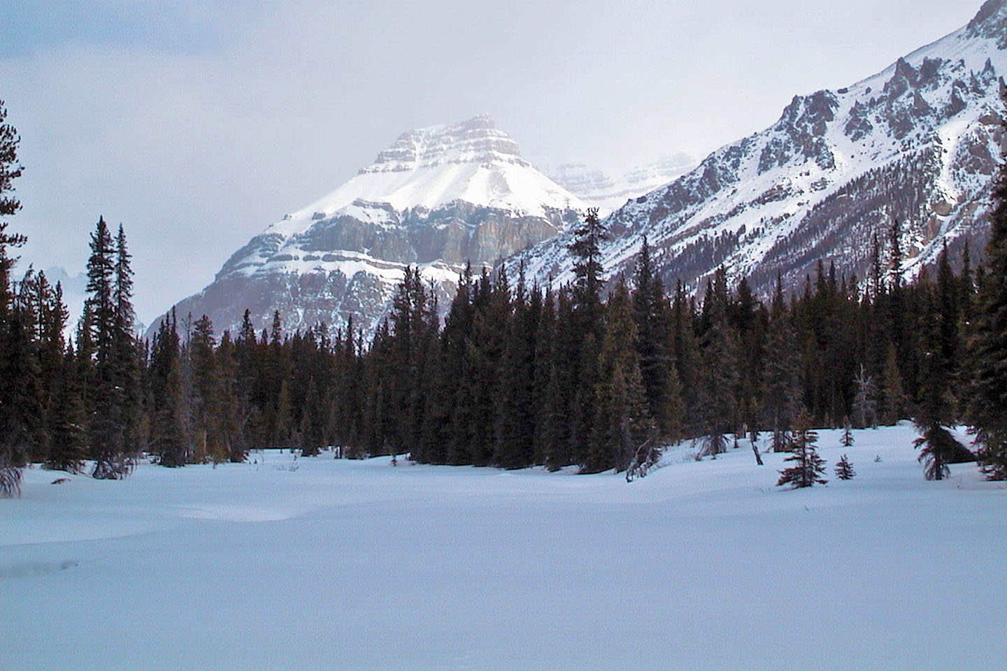 Bow River was barely discernible under the snow
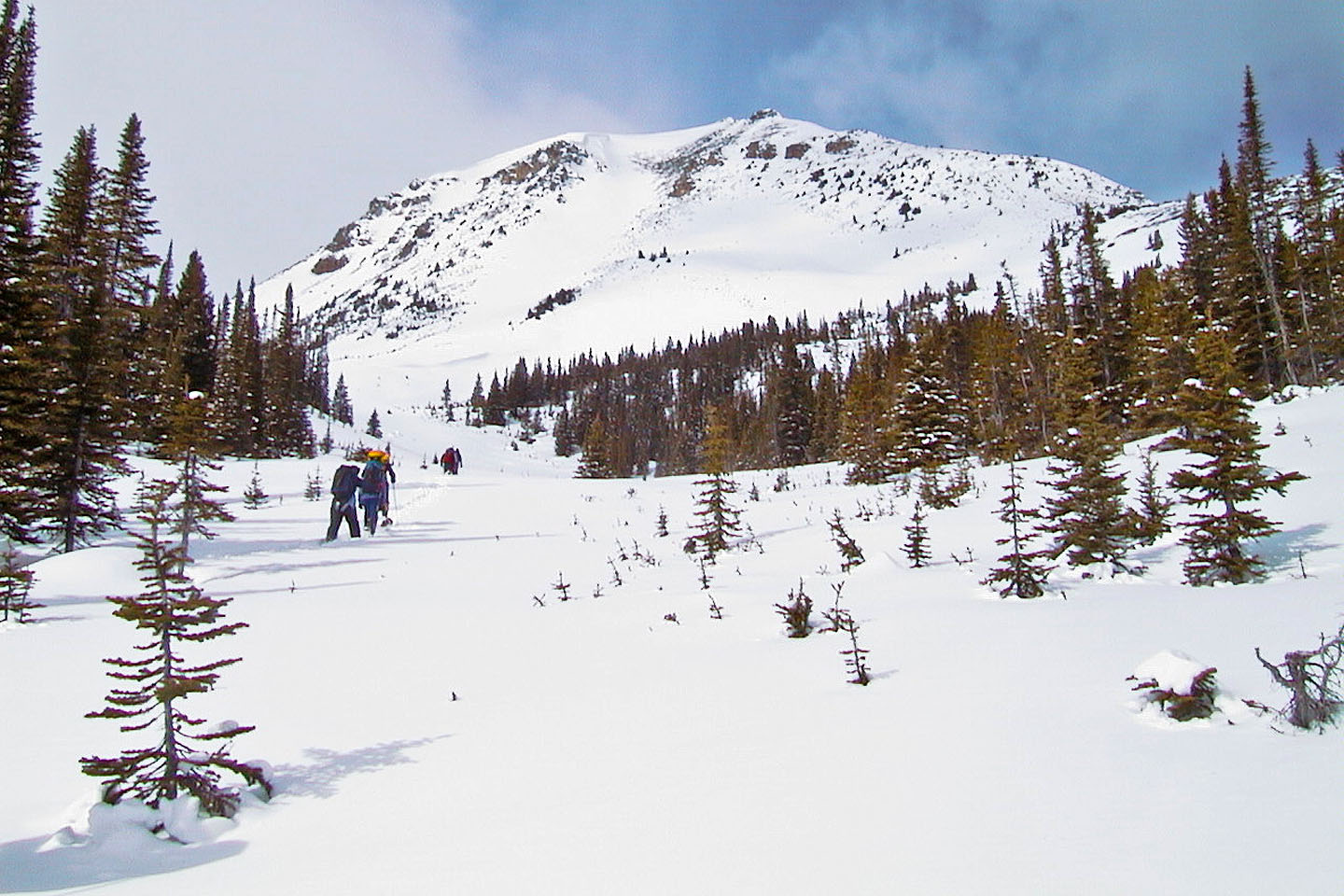 Heading to the end of the ridge
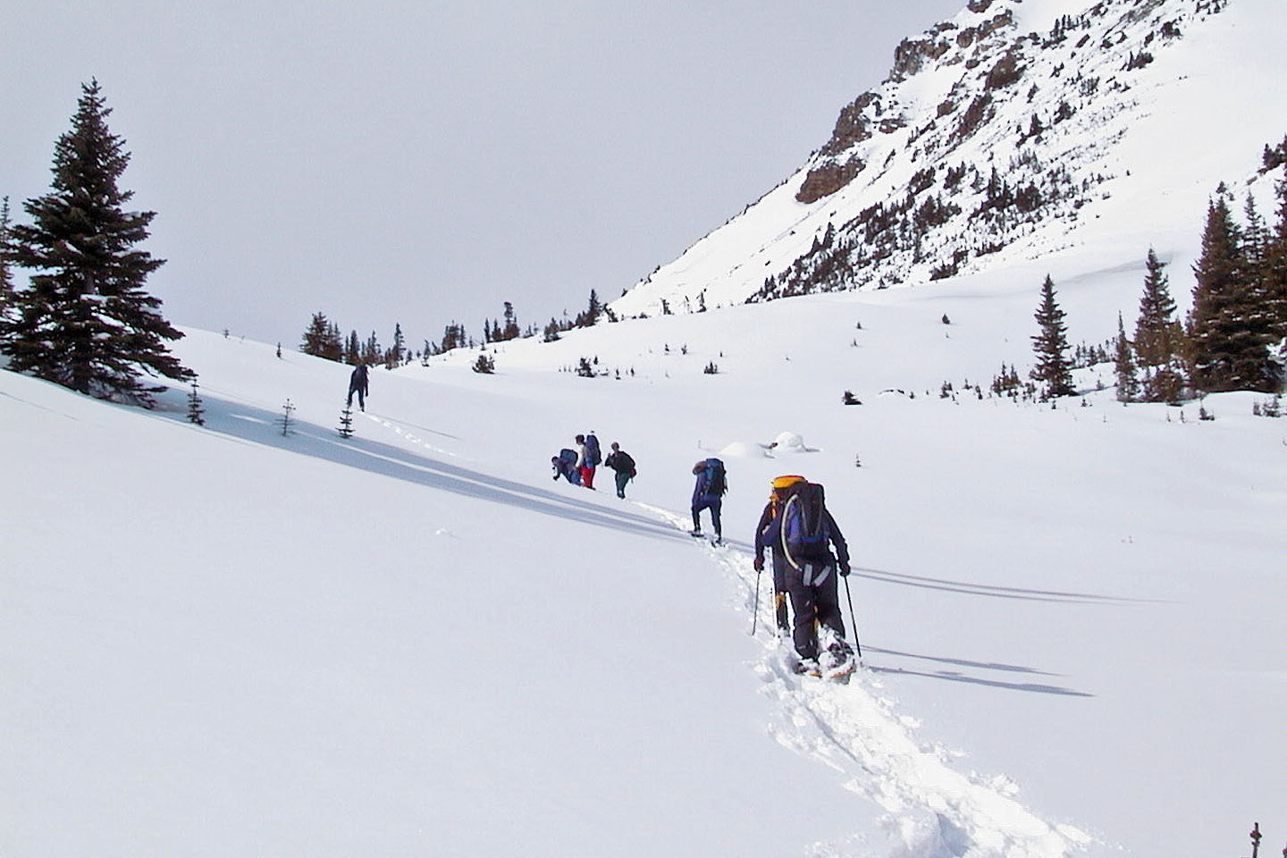 A fallen snowshoer is helped back up
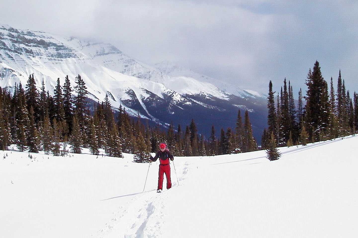 Looking back
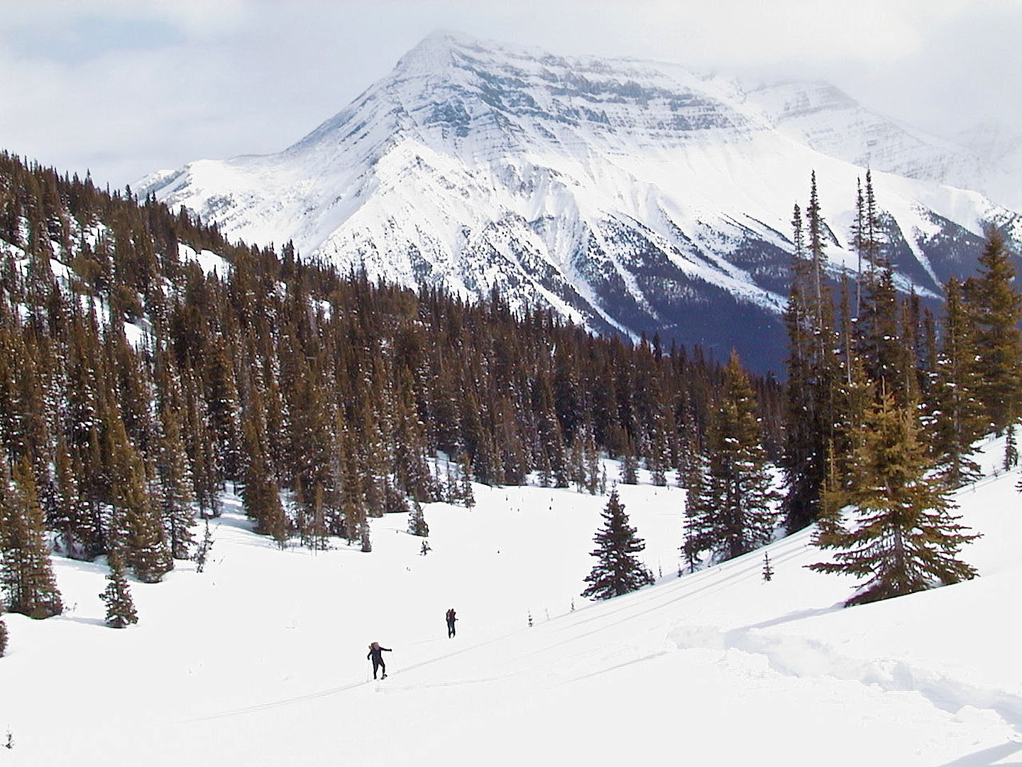 We began a steep climb up the ridge
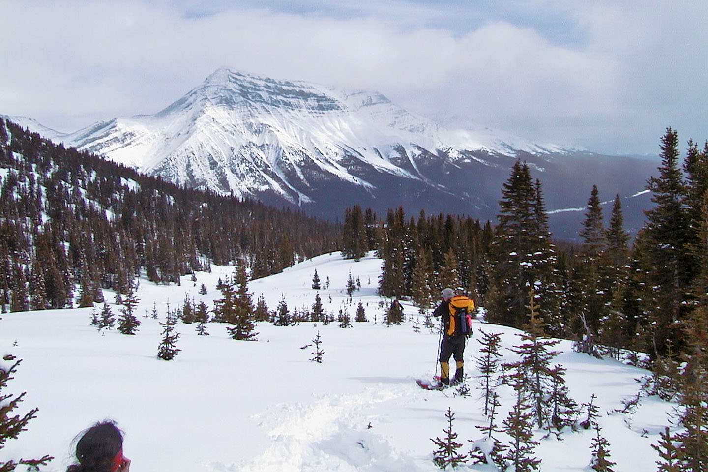 Vic stopped to take a photo of Mount Hector
 Looking across Hector Lake at Pulpit Peak
 Rick took this photo before we turned around: Al, Sarah, me, Zora, Lori, Dinah, Vic and Renata
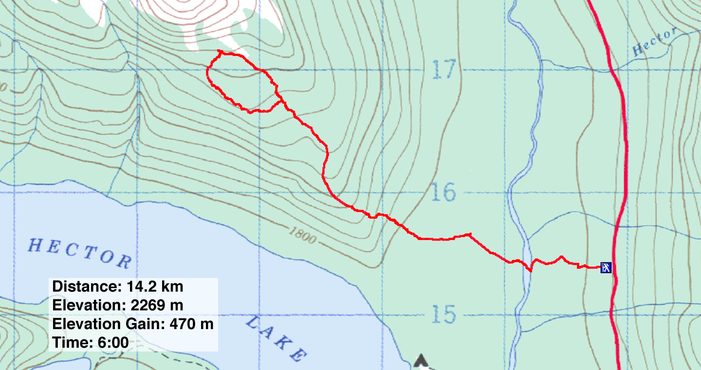 82 N/9 Hector Lake
