bobspirko.ca | Home | Canada Trips | US Trips | Hiking | Snowshoeing | MAP | About
Bow Peak South Shoulder
Icefields Parkway, Banff, Alberta
April 10, 1999
Led by Rick, the HOGs (Hostel Outdoor Group) snowshoed to a plateau at the south end of Bow Peak. I didn't have a GPS back then, but after looking at the topo map, it's apparent we reached 450174. After parking at a pullout on Highway 93, we headed west. When we came to the Bow River, we crossed it where it was frozen over. We continued west until we reach the end of the south ridge where we started ascending. We reached a beautiful, open plateau. We were concerned about the avalanche risk, but Rick assured it was safe. We had an enjoyable snowshoe up and a fun slide down a steep, open slope. (For more information and a GPX track, see our 2001 trip.)
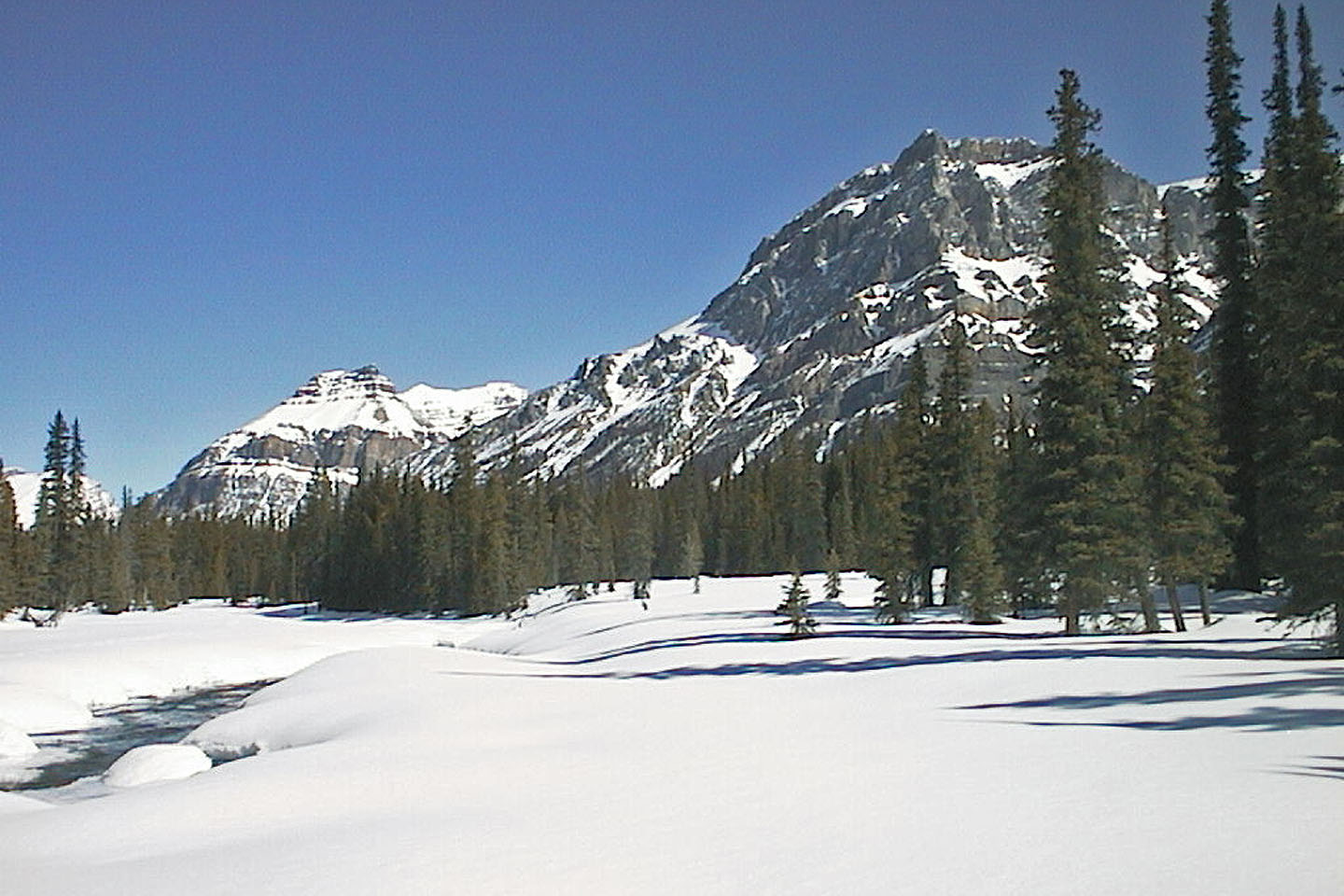 Looking south at Waputik Peak after crossing Bow River on a snow bridge
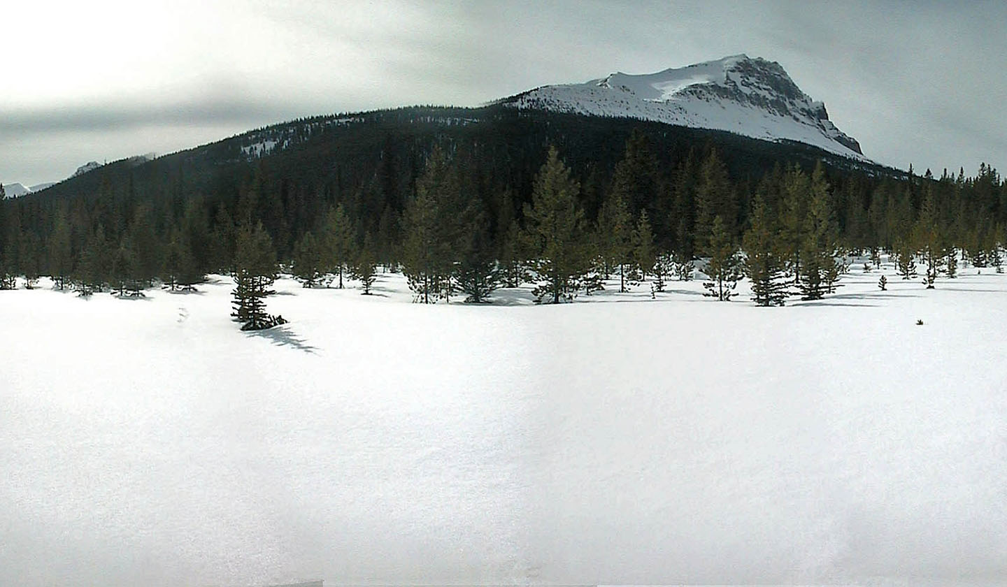 Bow Peak seen from the river
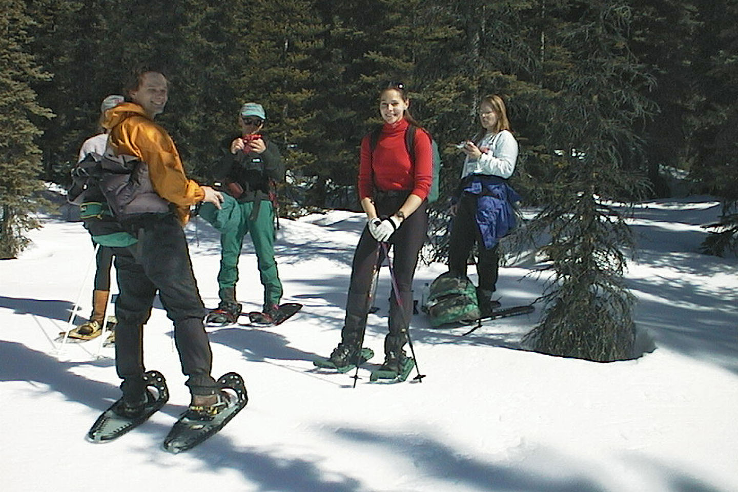 Taking a break in the trees
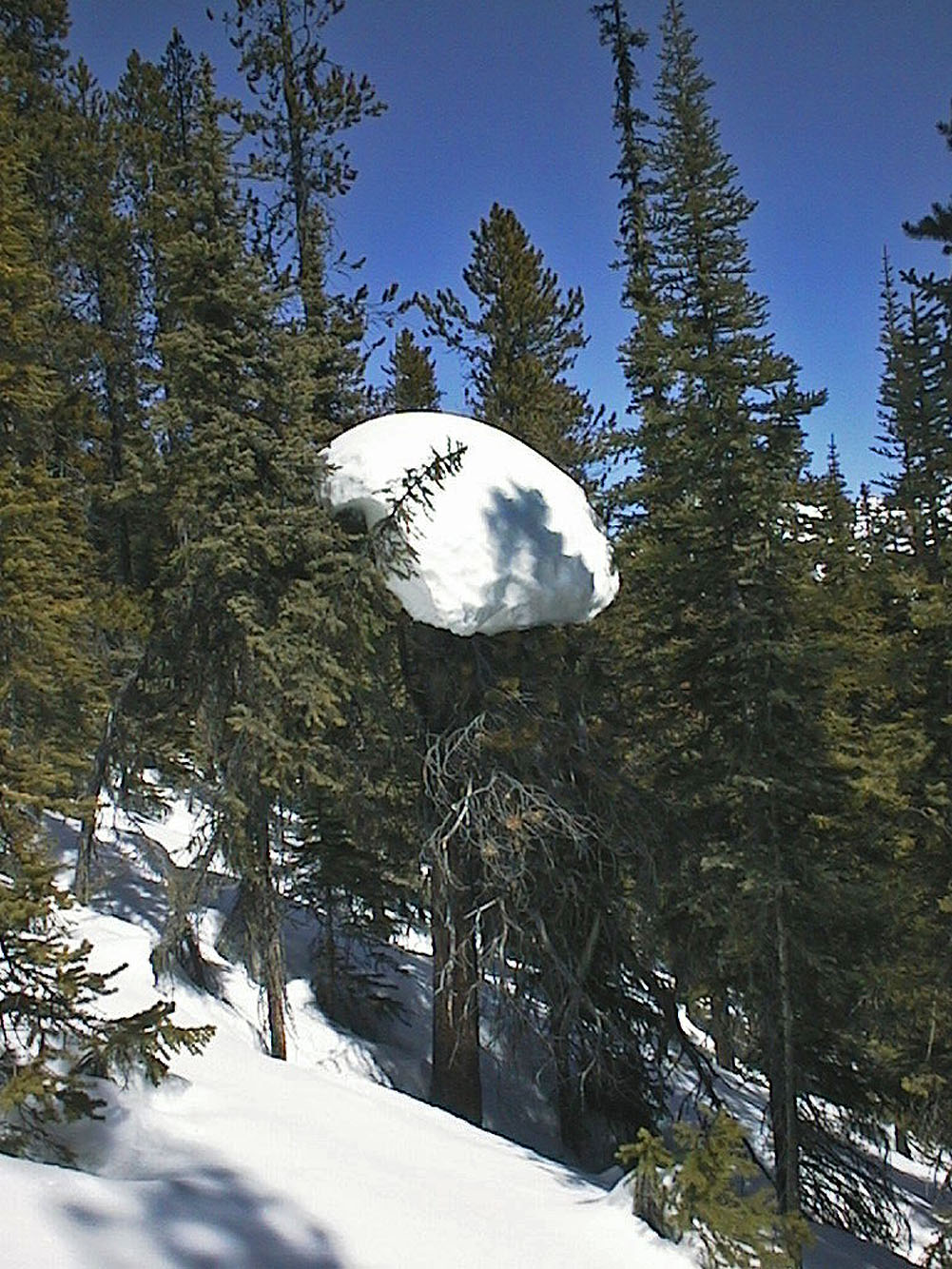
We passed snow cookies
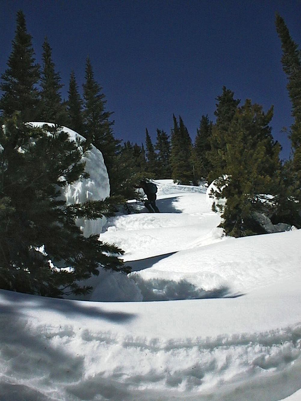
The snow was several feet deep
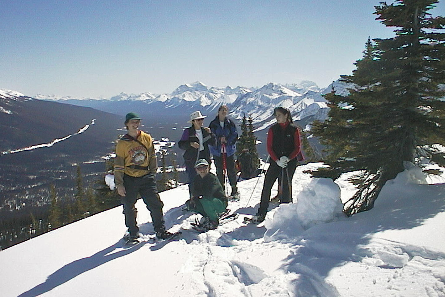 Marina, Zora, Rick, Sue and Lori at a view point
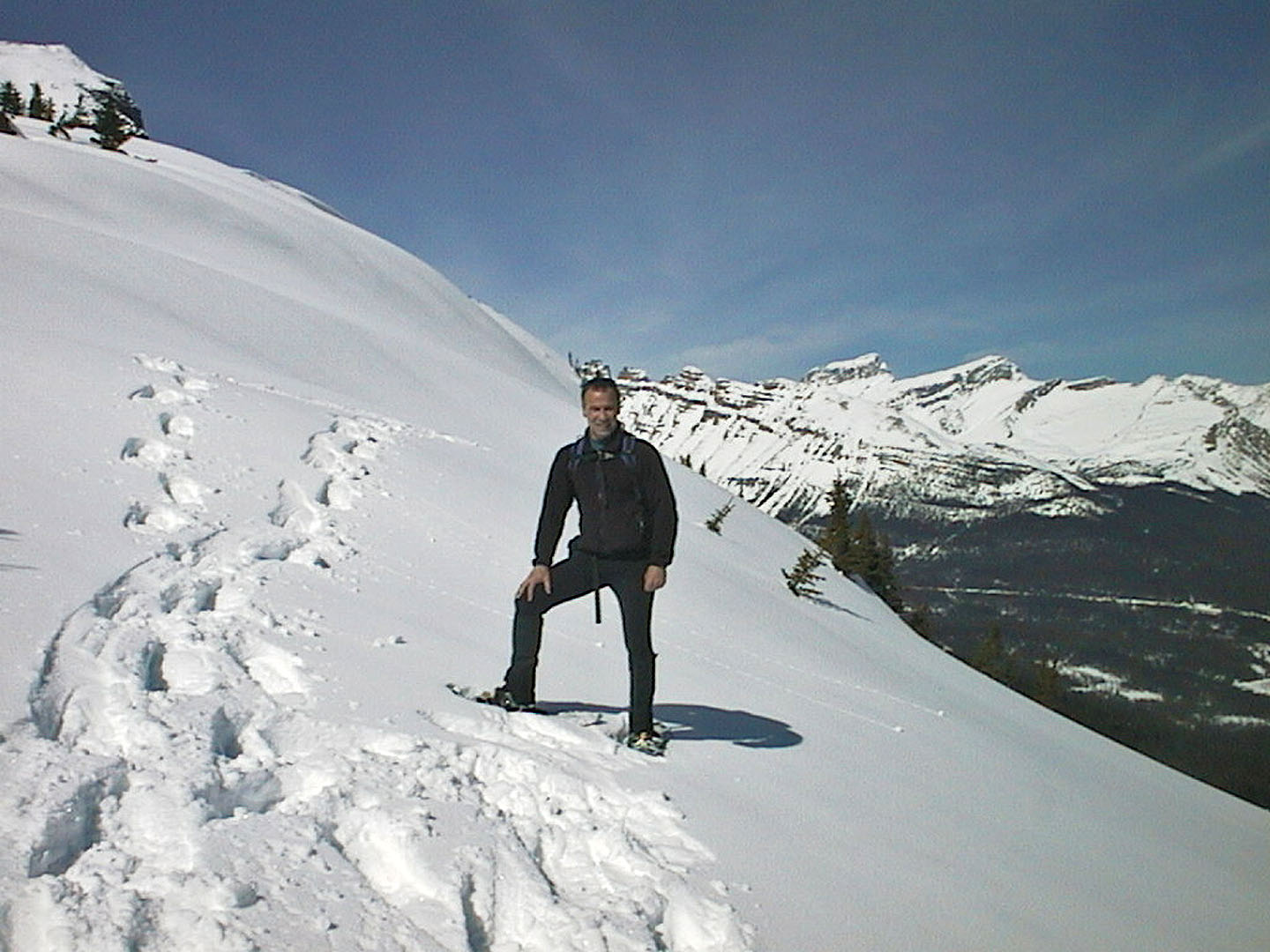 That's me on an open slope
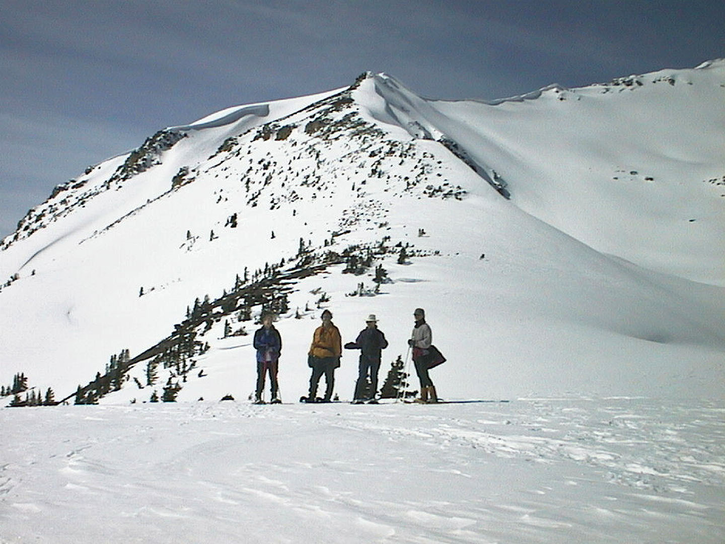 This is as high as we climbed
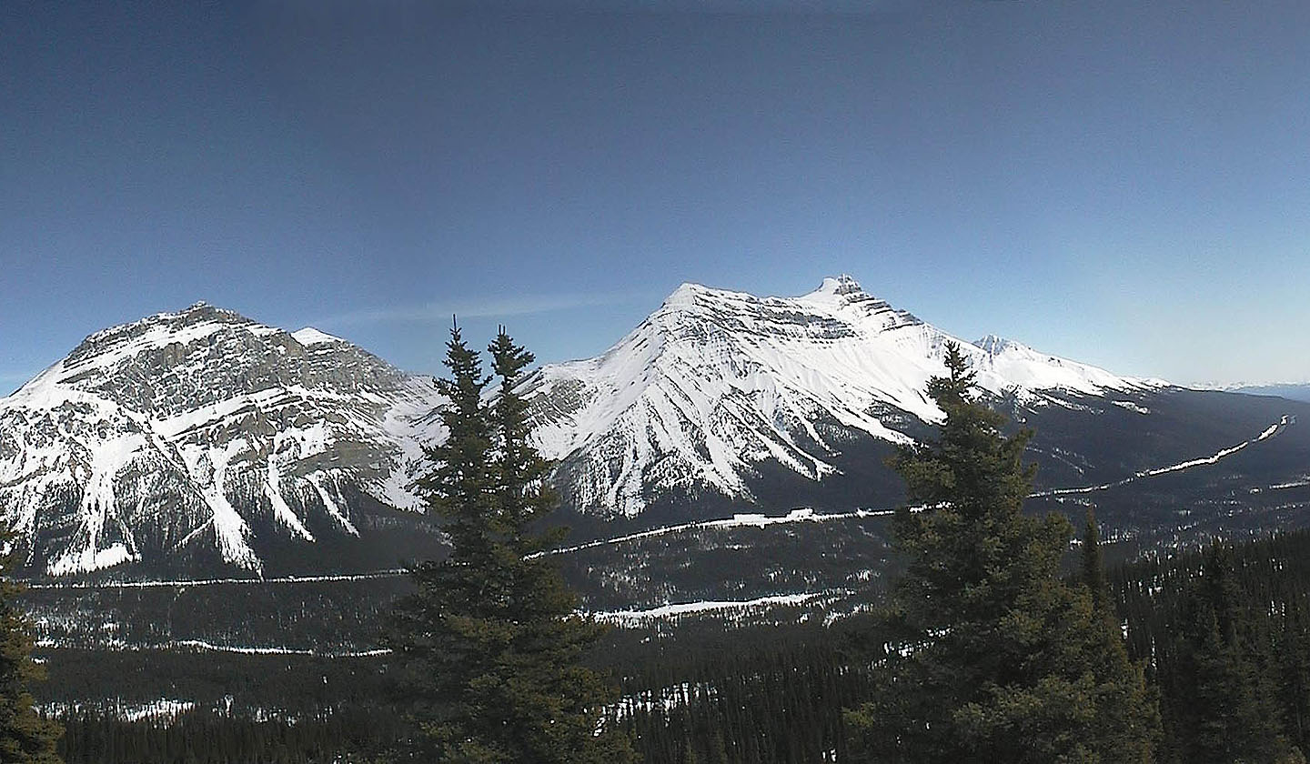 Mount Andromache and Mount Hector. Bow River is seen below.
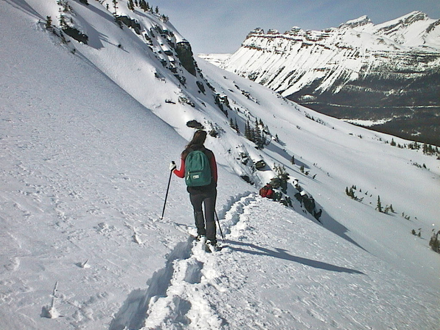 Lori watches as Rick prepares to slide down
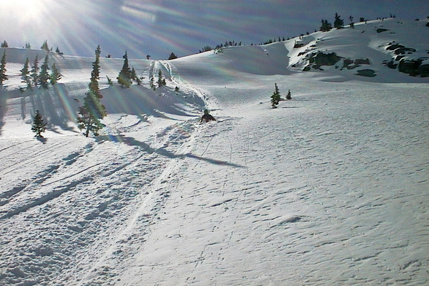 We took turns sliding down
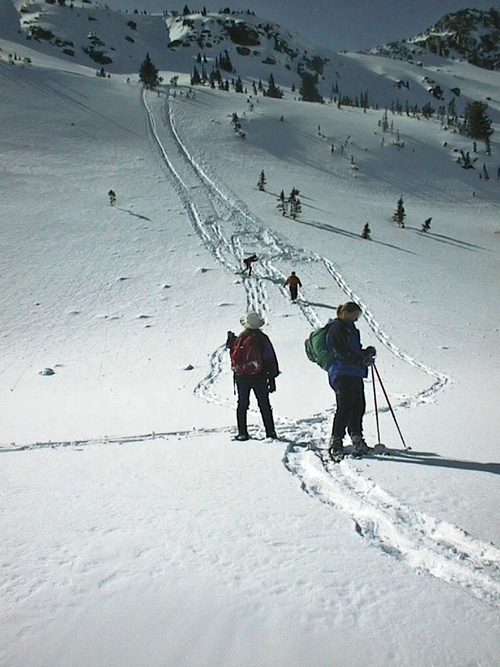
Looking back at the long slide
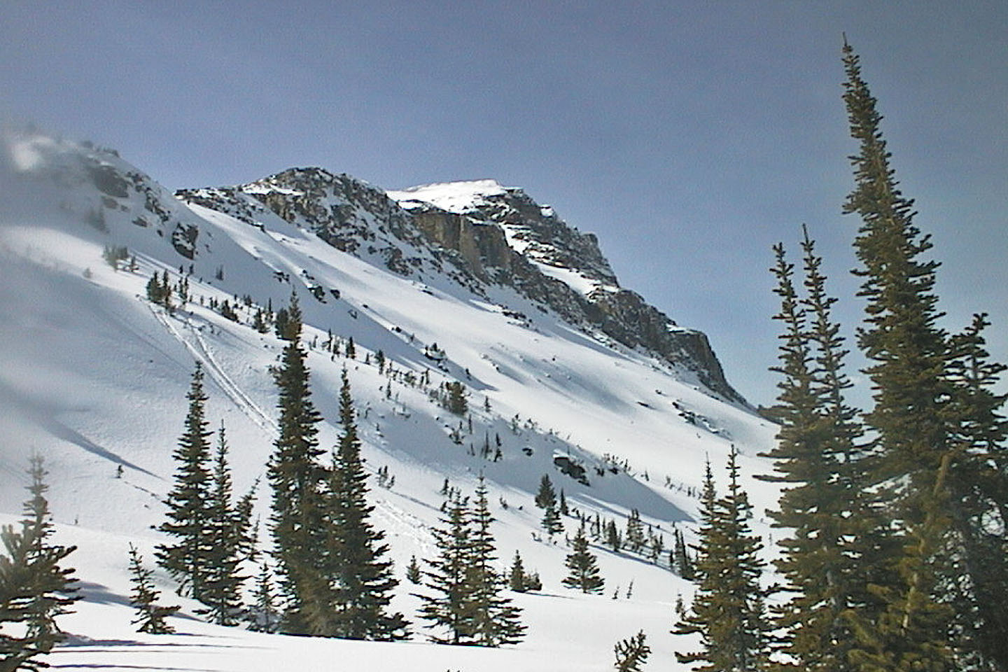 Another view of the slide
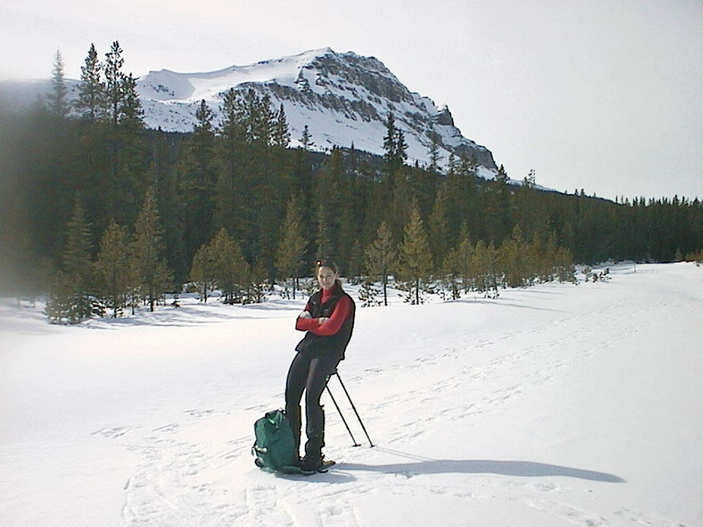 Back at the river, Lori rests on her poles
