bobspirko.ca | Home | Canada Trips | US Trips | Hiking | Snowshoeing | MAP | About
Association Canyon
Kananaskis, Alberta
January 6, 2007
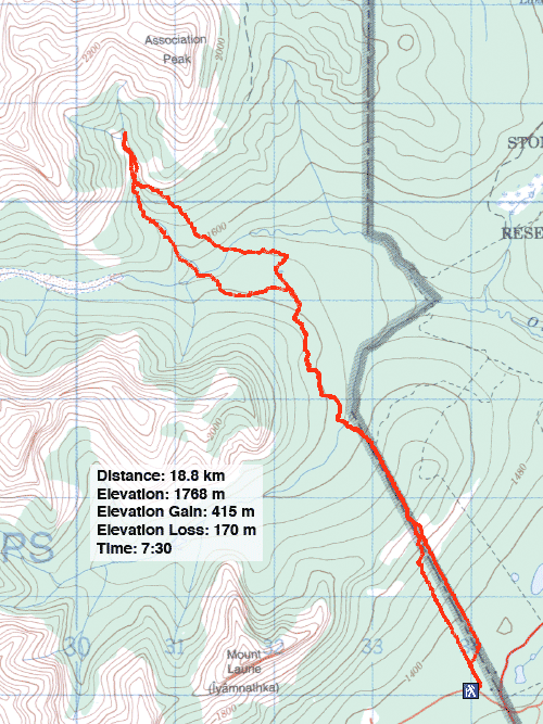
Distance: 18.8 km (11.7 mi)
Cumulative Elevation Gain: 1100 m (3599 ft)
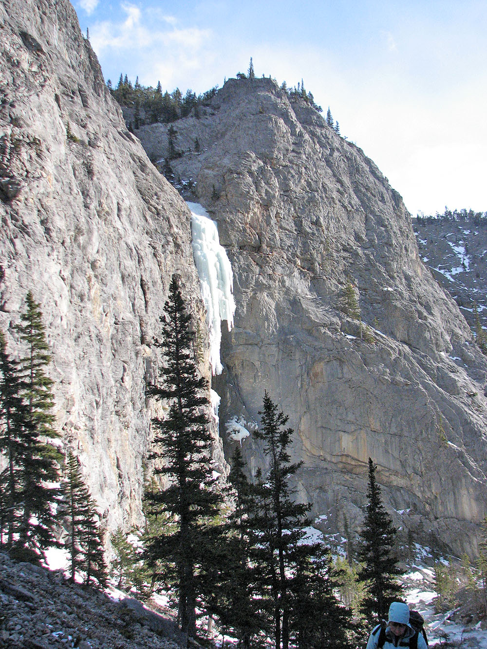
Dinah and I returned to the Front Range to explore a route up the canyon on the south side of Association Peak. We wouldn't attempt the summit – there was too little daylight for that –- but we wanted to see if a canyon route could be used to reach the peak. Also we would look for the best way to reach the canyon from the trail. The approach to Association Peak is grueling so every metre of elevation saved and every corner cut would ease the travail when we returned.
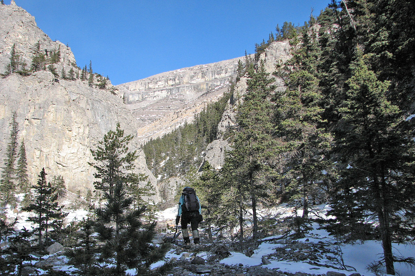
From the East End of Wendell trail, we bushwhacked to the North Fork of Old Fort Creek. We lost 200 m of elevation going up and over the east ridge of Yamnuska only to lose another 120 m going over the east slopes of Wendell. We arrived at the North Fork only 180 m higher than the Yamnuska parking lot. We had travelled 7 kilometres and would do another four before turning around.
From the North Fork, we started up the bank and headed toward the canyon. While bushwhacking up the slope, we could see nothing of our objective. When we finally reached a clearing, we realized we had climbed too high. We had to drop down 60 m to reach the entrance of the canyon.
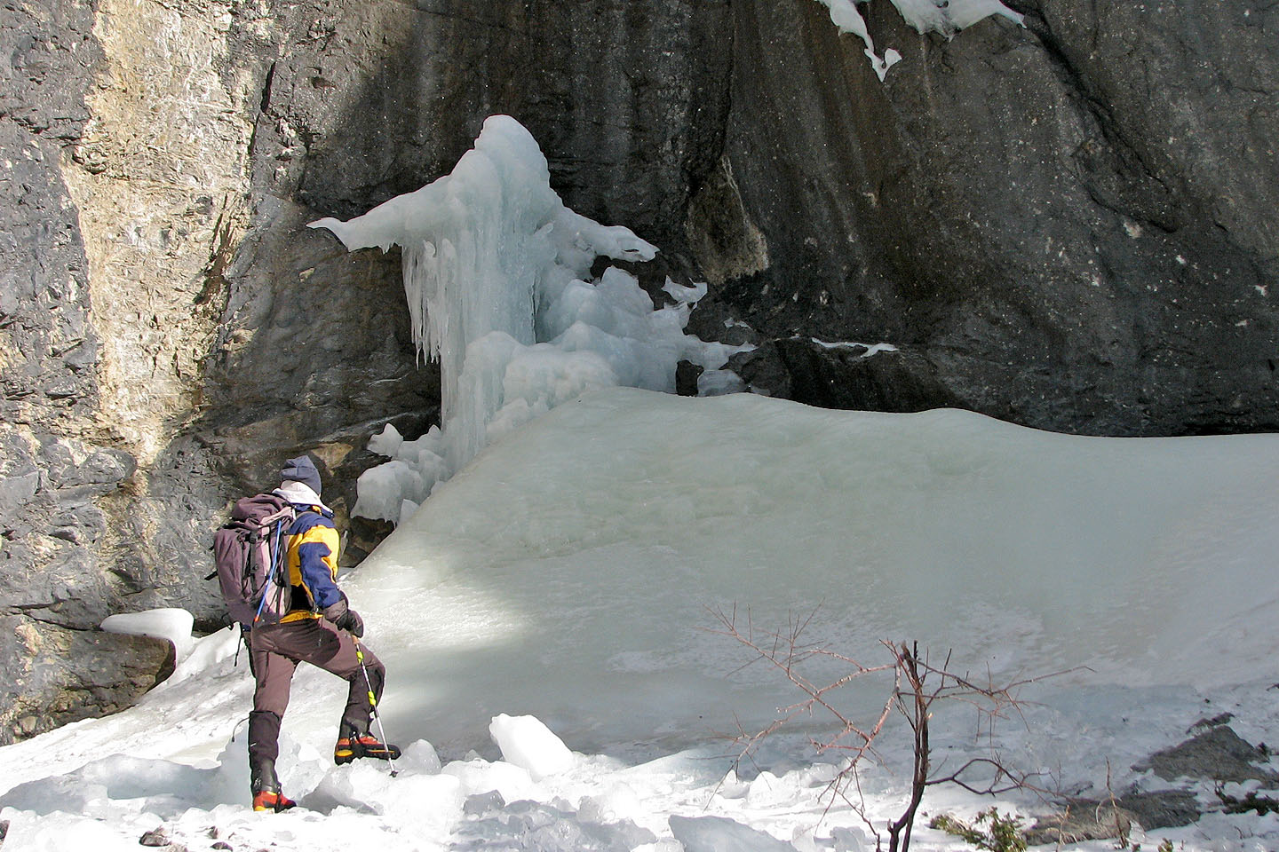
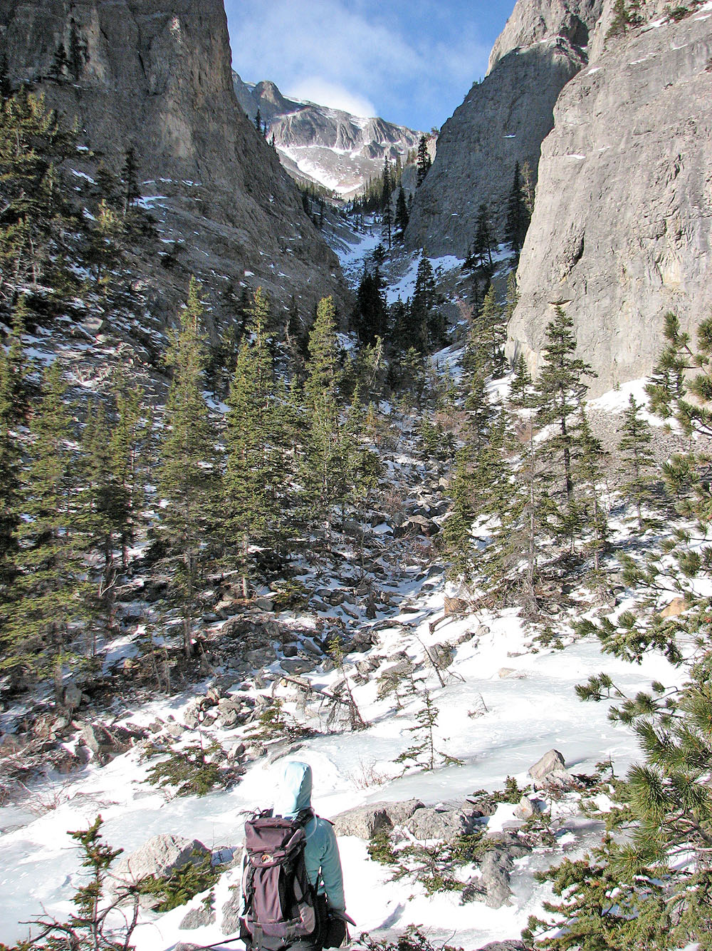
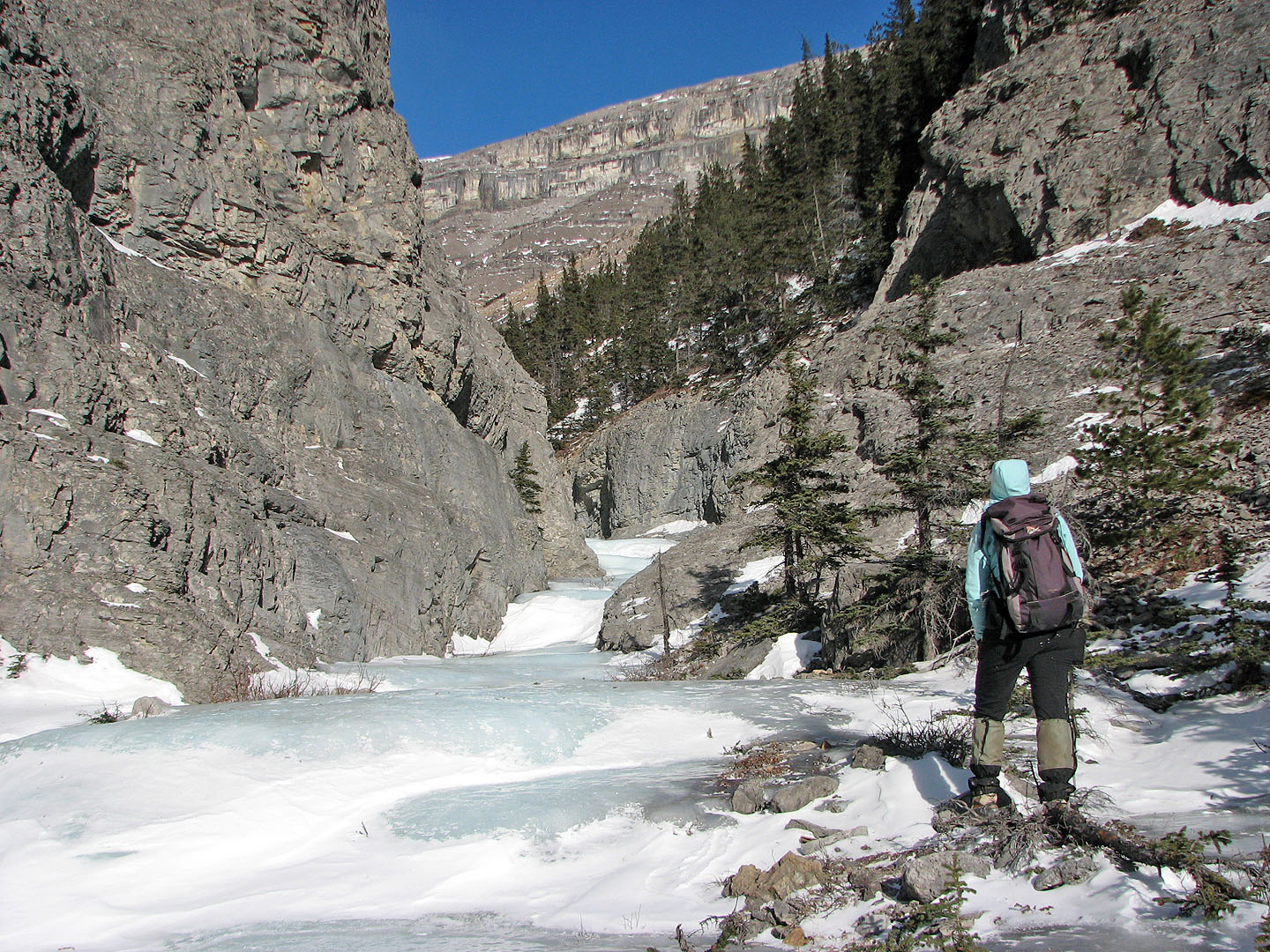
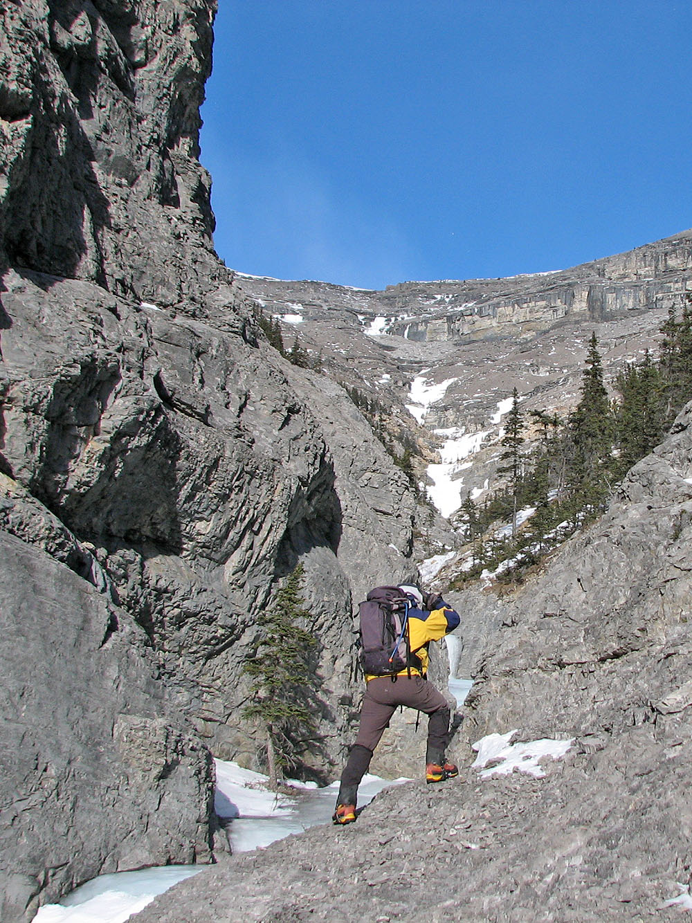
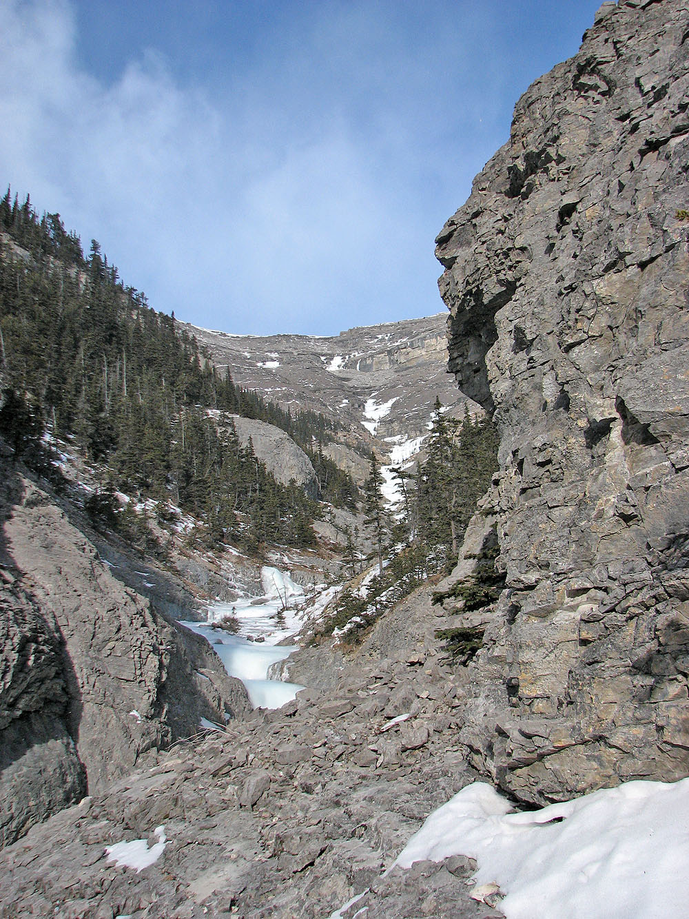
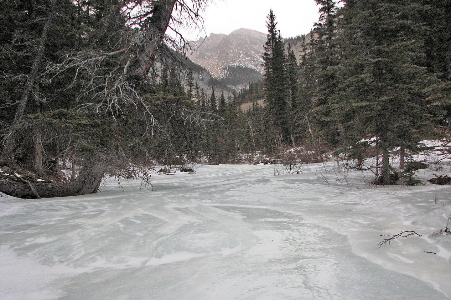
The canyon was impressive and we soon forgot the hardships we endured to get there. Now we wondered what lay ahead after each bend in the canyon. We passed an icefall and a striking side canyon. When we came to a frozen stream, we realized its surface was too slick to walk on. We halted where ice filled the narrow confines of the canyon. Had we brought crampons, we could have continued up the canyon, but even so, we had reached our turn-around time.
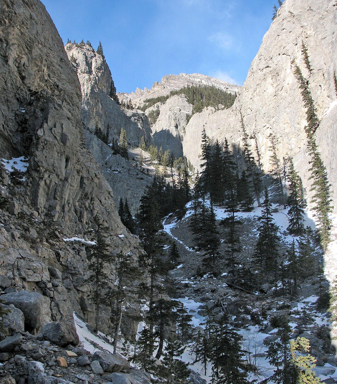
It was a long way back, and we didn't look forward to the elevation gain on the return trip. We did, however, find a better route back to the trail. We'll return to try Association Peak as well as the unnamed peak seen in the side canyon, just not on the same day! (We returned in the summer to bag Association Peak by a different route.)
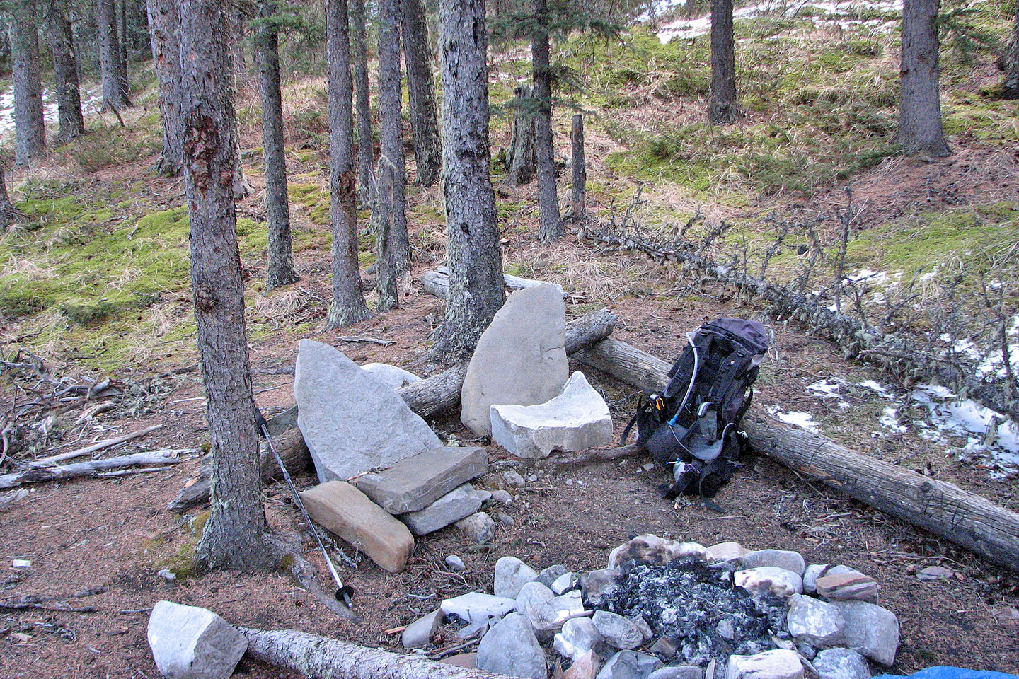
We came across a camp in the valley
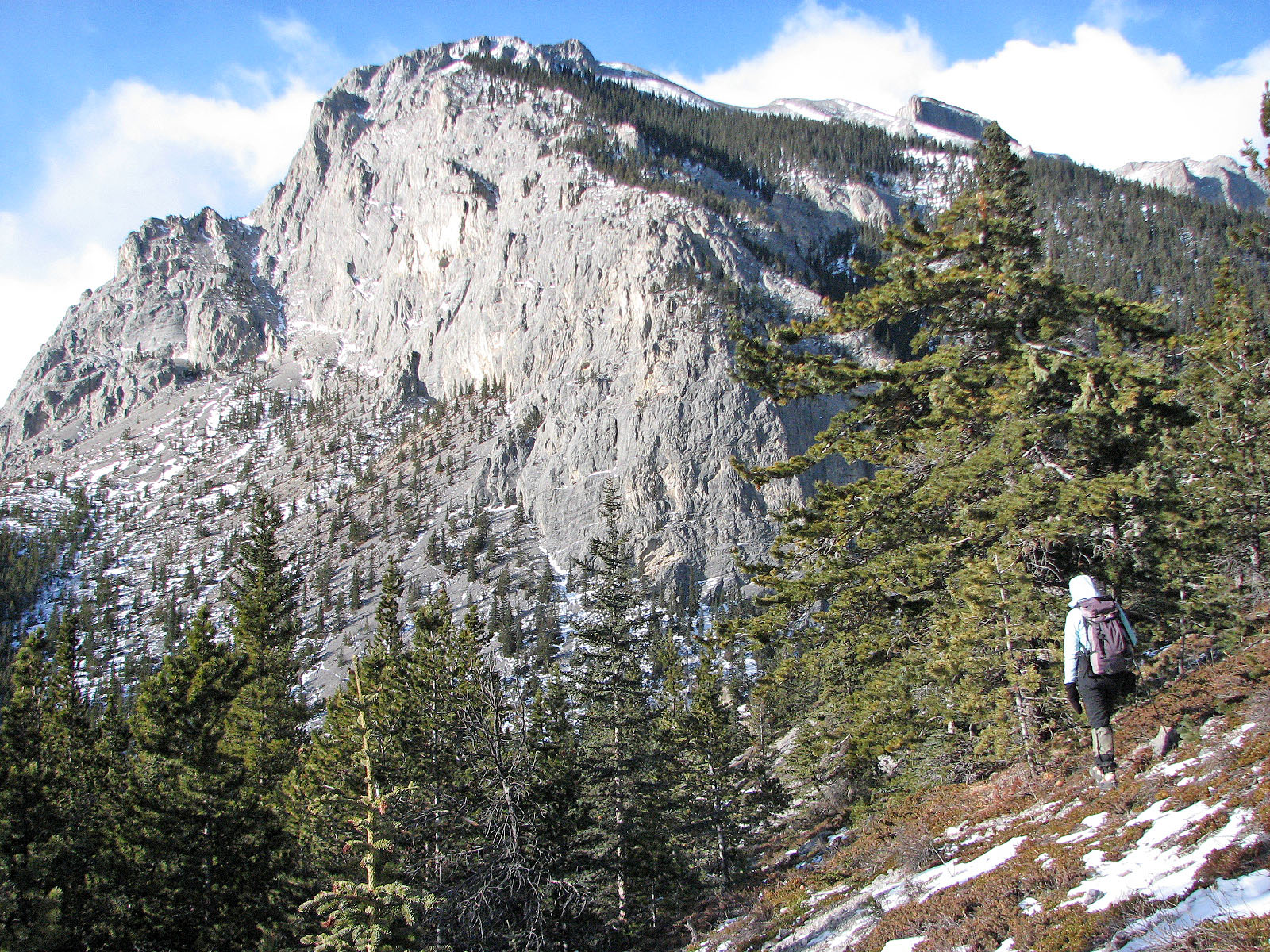
Unnamed peak SW of Association Peak
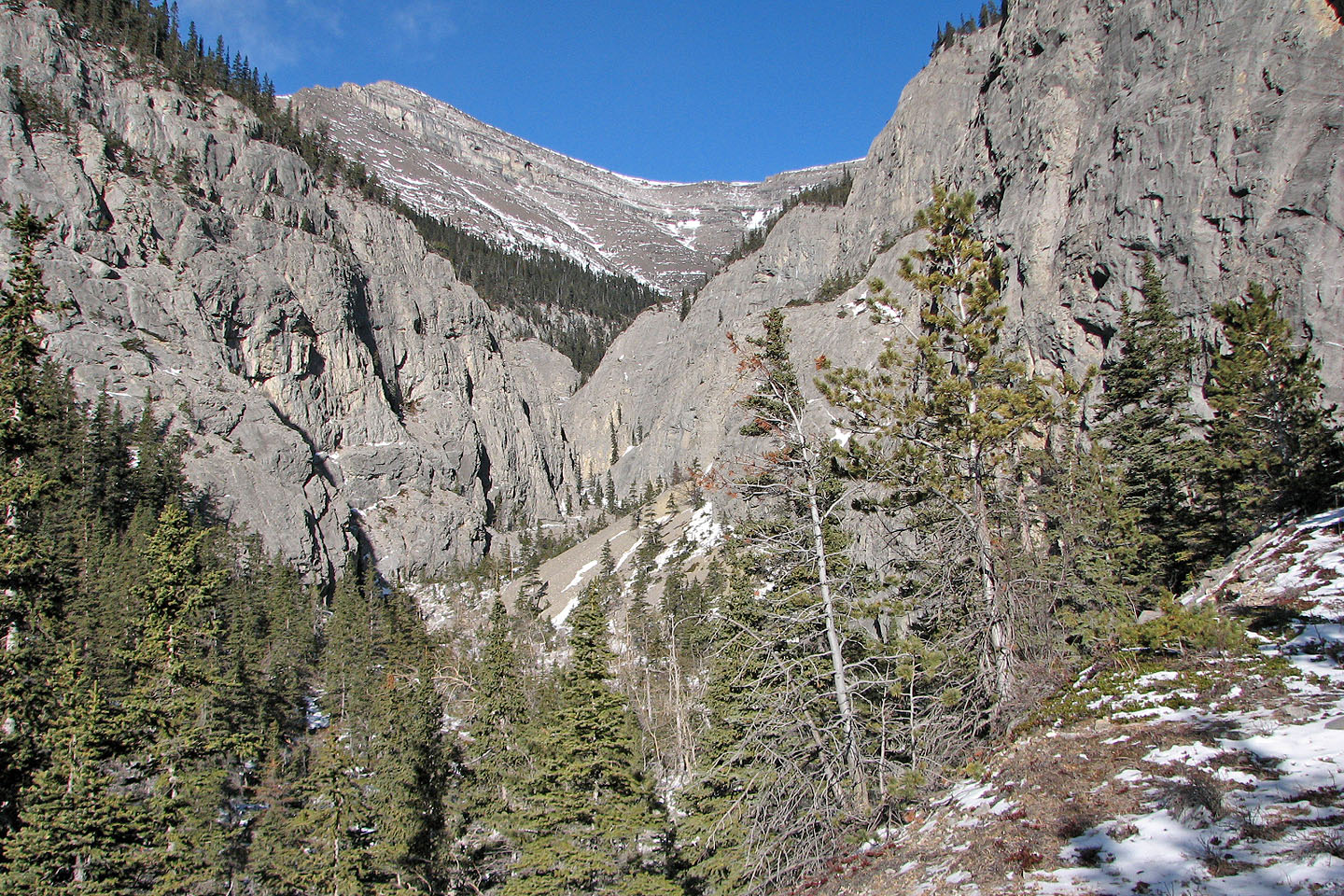
Approaching the canyon
In the canyon
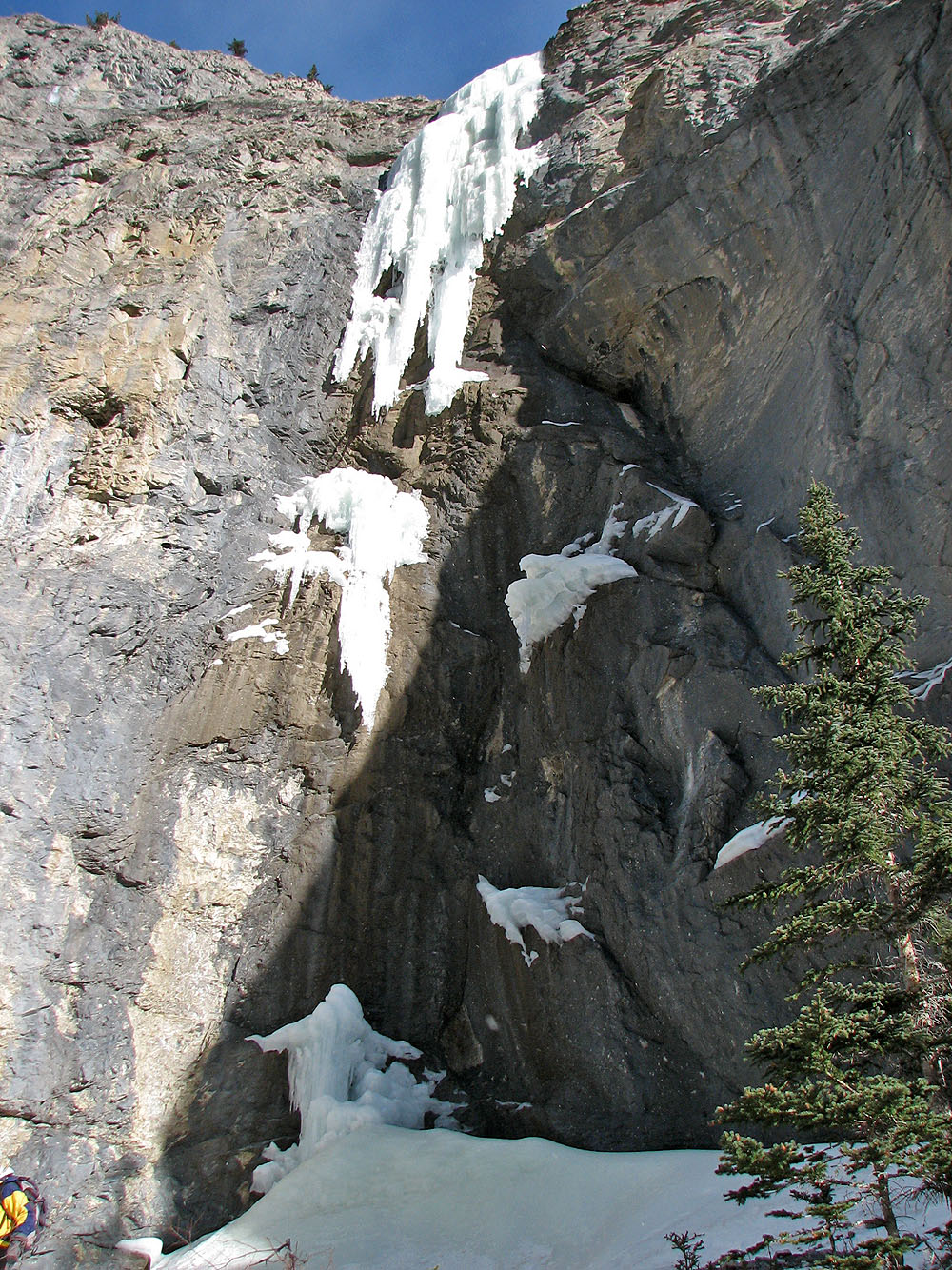
Icefall
Large chunks of fallen ice lay at the bottom. We didn't stay here long!
View up the canyon
Another look at the icefall (mouse over)
At the side canyon junction
Intriguing view up the side canyon (mouse over to zoom in)
Slippery ice prevented us from continuing up the canyon although we could have tried the slope
on our right
I looked around the corner (mouse over to see what I saw)
View from higher up
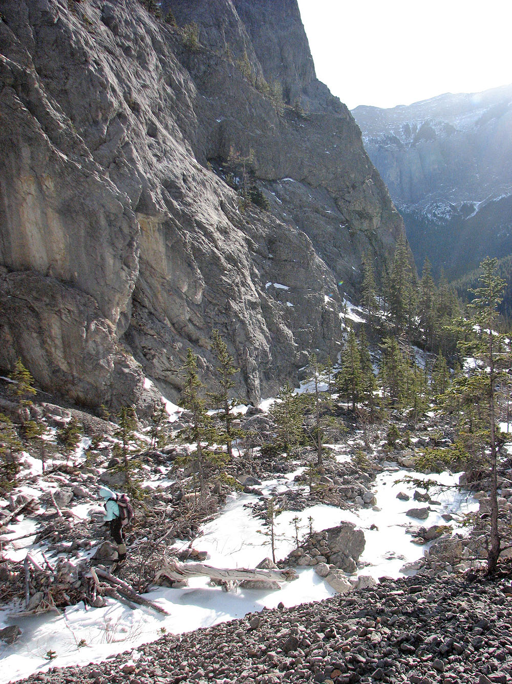
Looking back up the drainage
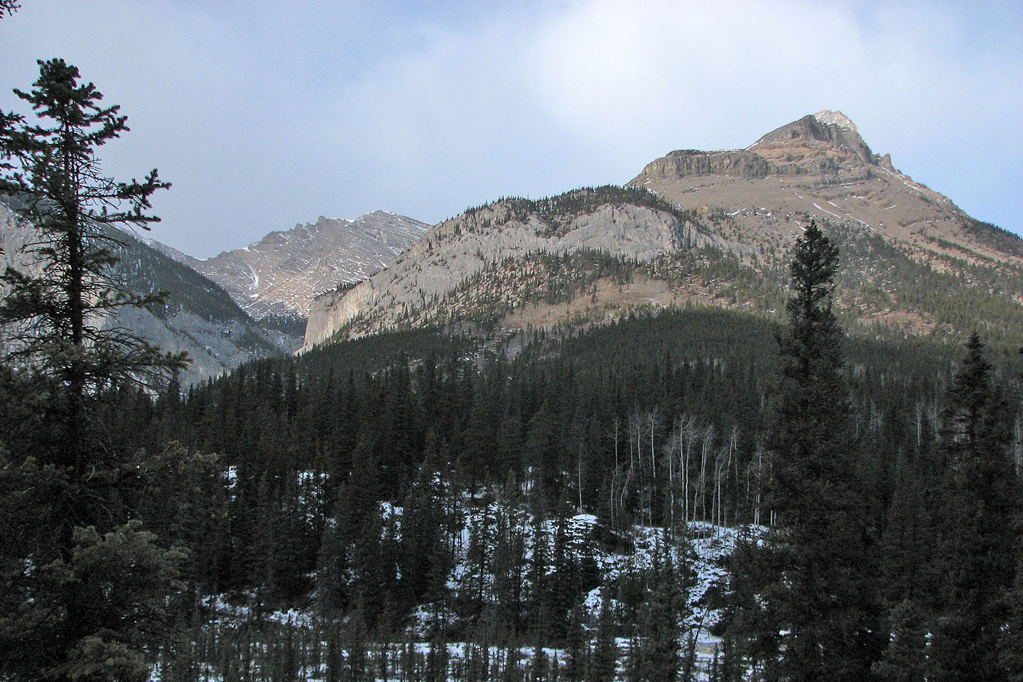
The canyon is at the left end of Association Peak
82 O/3 Canmore