bobspirko.ca | Home | Canada Trips | US Trips | Hiking | Snowshoeing | MAP | About
Wasootch Peak (attempt)
Kananaskis, Alberta
March 20, 2005
I stumbled across a trail to this unnamed peak by accident in 1999. It's a mystery that a peak with such a well-defined trail didn't appear in any guidebooks back then. When I first reached the summit, the register indicated two busloads of high school students from Winnipeg had reached the peak (how did they know about it?). But the last time I was there, there was no register. Gillean calls it "The G8 Summits" in the Kananaskis Country Guide, but "Wasootch Peak" seems widely accepted.
Drive south on Highway 40, 22.8 km from the Trans-Canada Highway (about 300 m north of the turnoff to Kananaskis Village) and park by the Alberta 40 North sign on the east shoulder. Among the trees, you'll see a stony creekbed. This is the trailhead.
Walk on the creekbed keeping left and look for a trail marked with red flagging. A well-trodden path follows the left bank of the unnamed creek. You may notice some aluminum mouse traps along the trail. When I was there in 2000, I learned that the mice population had been monitored there for the past 15 years. Mice are nocturnal so the traps are set in the evening, using grain and raisins for bate, and emptied the following morning.
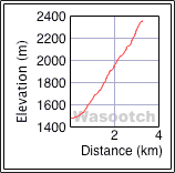
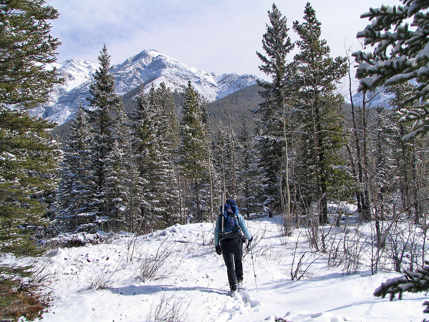
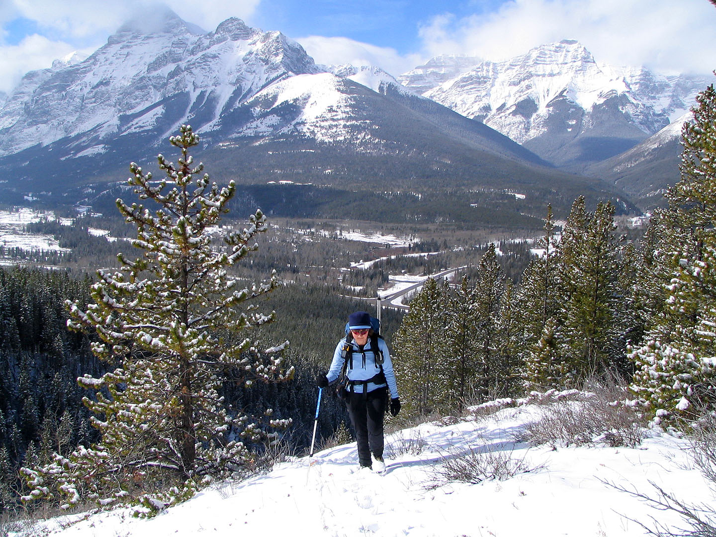
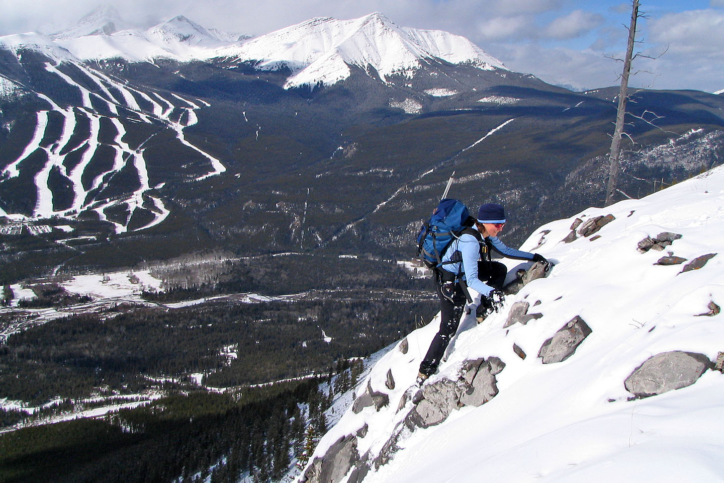
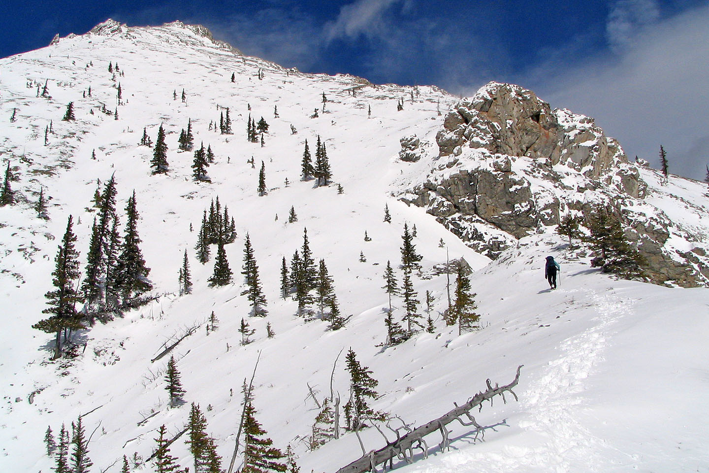
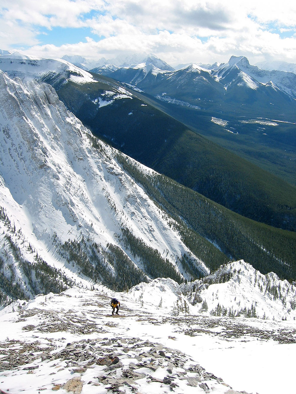
After about ten minutes of hiking, the trail leaves the creek and rises above it. You'll soon leave the creek and climb high above it. About 2 kilometers from the trailhead, you'll break out of the trees into scrub and rocks. In some places, you may lose the trail, but if you stay on top of the ridge you should have no trouble staying on route.
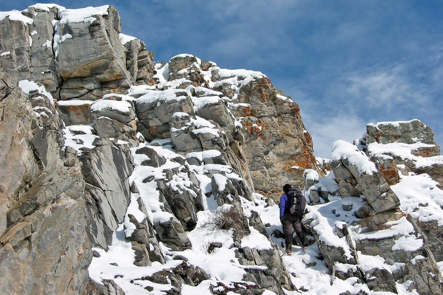
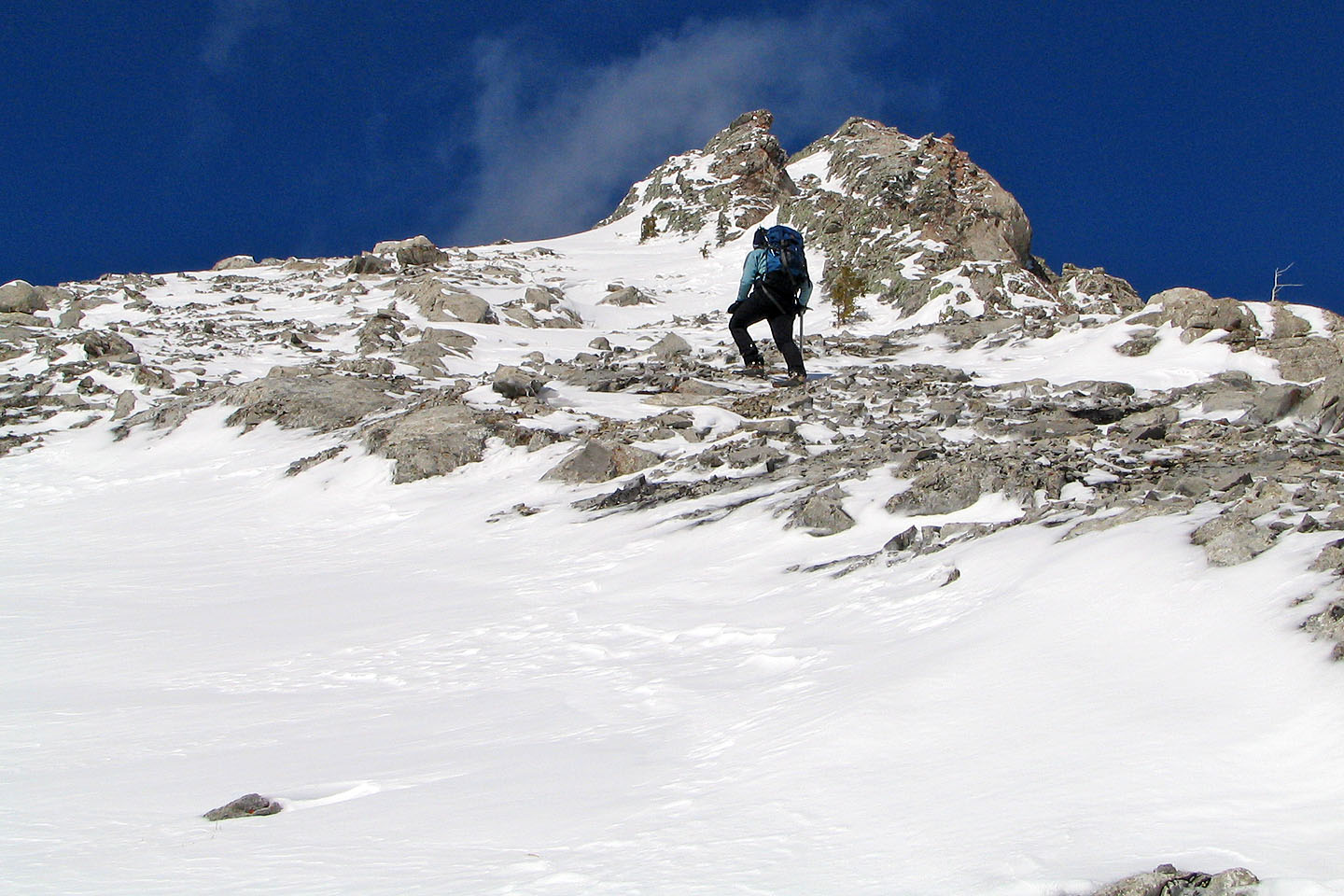
Once you reach the alpine level, the summit comes into view. The trail turns left and becomes a scree slog, but you may be able find solid purchase on either side of it. However, you'll appreciate the scree path for a quick descent. Just before you reach the top, you can either scramble up 2 m of rock or go through a break in the rock wall just below it.
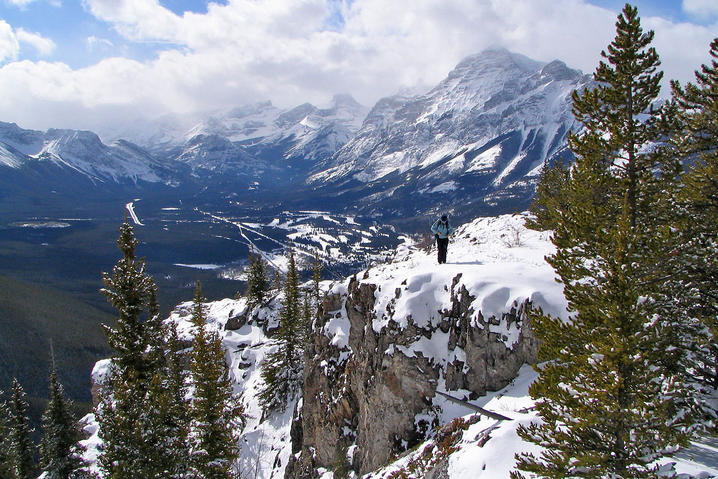
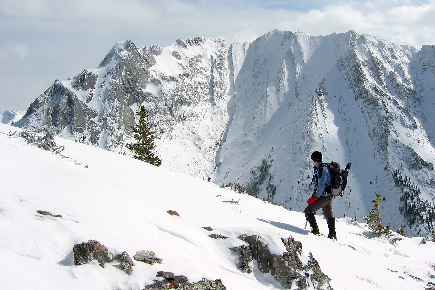
From the summit looking west, you'll see Mount Allan. Below you, about a kilometer away to the northeast is Wasootch Tower. To the east is the Fisher Range.
Starting out on the creekbed
Most of the lower trail
is in the trees but there are a few breaks along the way
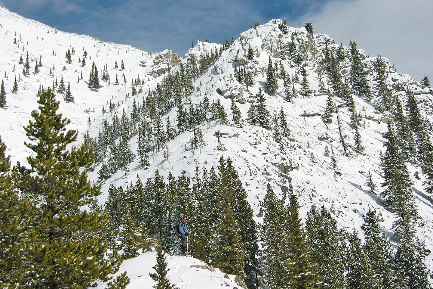
There is little scramble to do and none of it difficult
Mount Collembola in the background
Looking back
The snow is deeper here
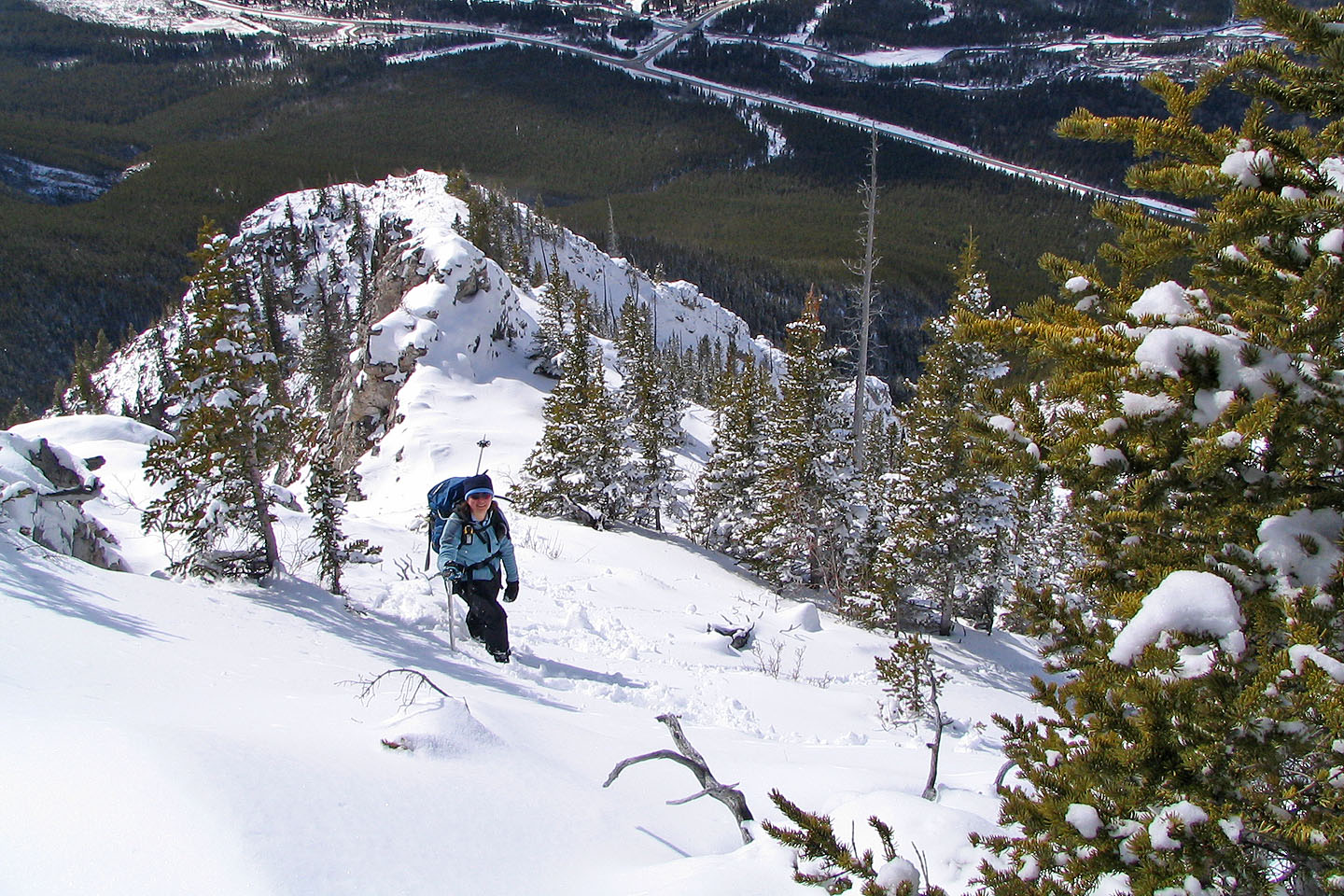
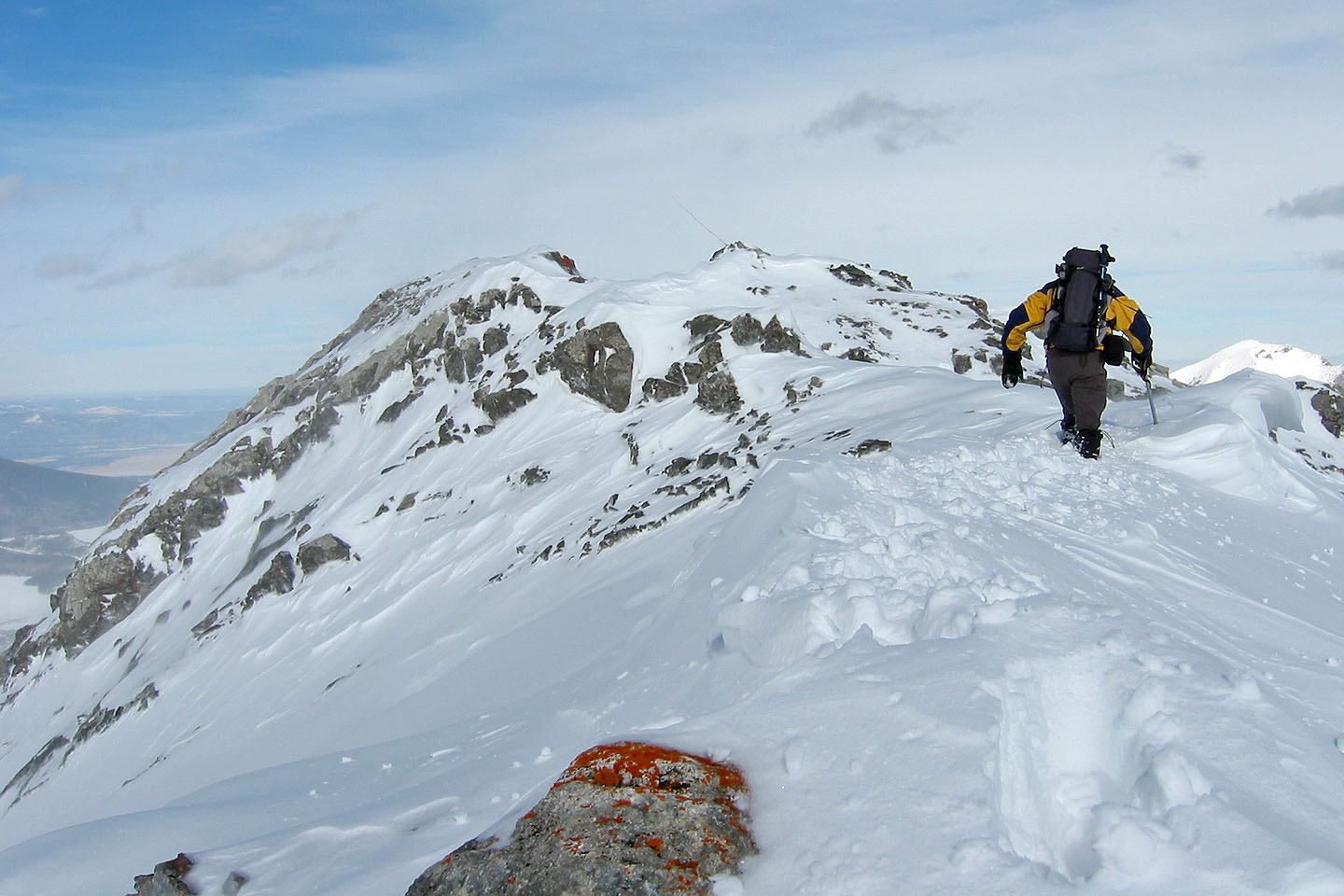
The route follows the ridge ahead
The final push to the summit
Kananaskis Peak in the background
Looking back
Just below the summit
The summit cairn is in the centre
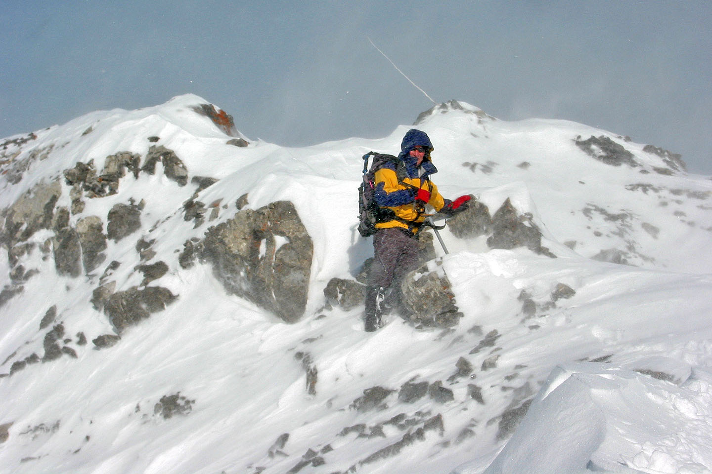
Just before the summit there's a narrow ridge. You can't see it here but there's a sharp drop-off on either side of it. The snow cover along with strong winds made it too treacherous to attempt.
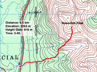
Map 82 J/14 Spray Lakes Reservoir