bobspirko.ca | Home | Canada Trips | US Trips | Hiking | Snowshoeing | MAP | About
Red Peak (attempt)
Kananaskis, Alberta
October 15, 2005
I got the idea of climbing this peak after seeing it from Red Ridge. It has no name probably because it's mostly invisible from the road, but it's higher and redder than Red Ridge. Years later I learned it was, or would be called, Red Peak and climbed it using different approach.
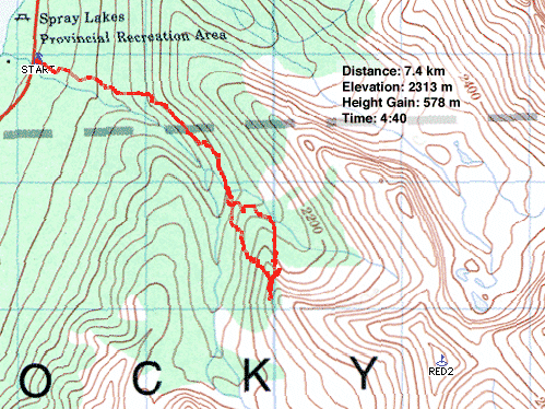
Using the same trail that we used to access Red Ridge, Dinah and I hiked along the unnamed creek. Where the creek bends to the right, we followed it, keeping on the left bank. I wasn't sure if we should take a direct route and head straight for the ridge crest or stay low and follow the drainage until it curved around to the likely drier and gentler southwest slopes. In the end, though, we tired of the trees and ascended the ridge.
As the trees thinned, we got a better view of the ridge: it didn't look good for continuing up. The cliff bands above us looked insurmountable. We tried traversing along the slope above the treeline, but the terrain became treacherous with steep, slippery sections. We decided to turn around. We headed to the north shoulder that abuts the peak and followed it down to the creek.
Three days later I returned to the area. I wanted to see if Red Peak was feasible by this route in dry conditions. To best view the southwest slopes, I climbed the north ridge of Mount Buller. That view indicated Red Peak would probably be impossible to do as a scramble as a west approach. Our route was doomed from the start.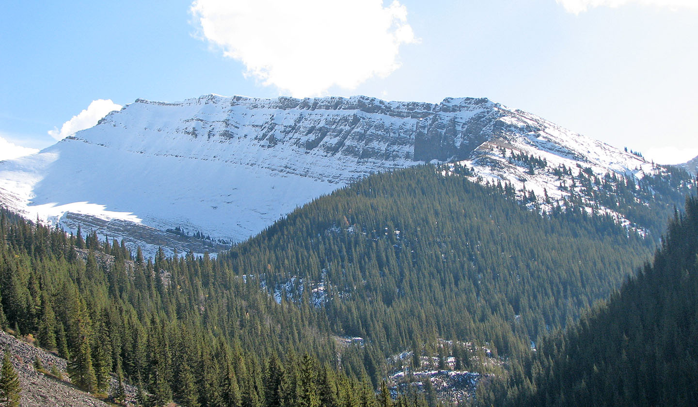
A short ways up the trail and Red came into view
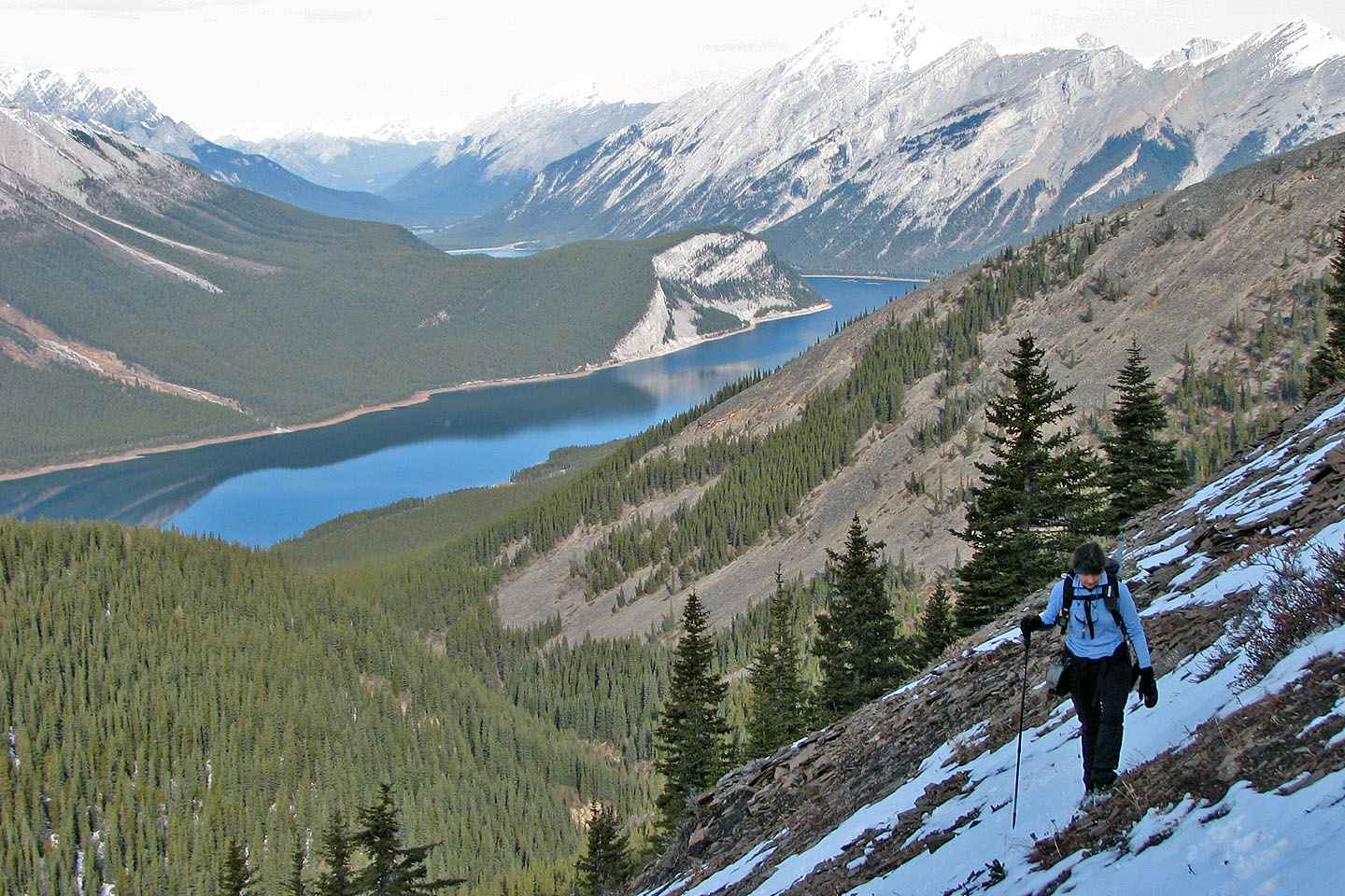
Ascending the slope with Spray Lakes in the background
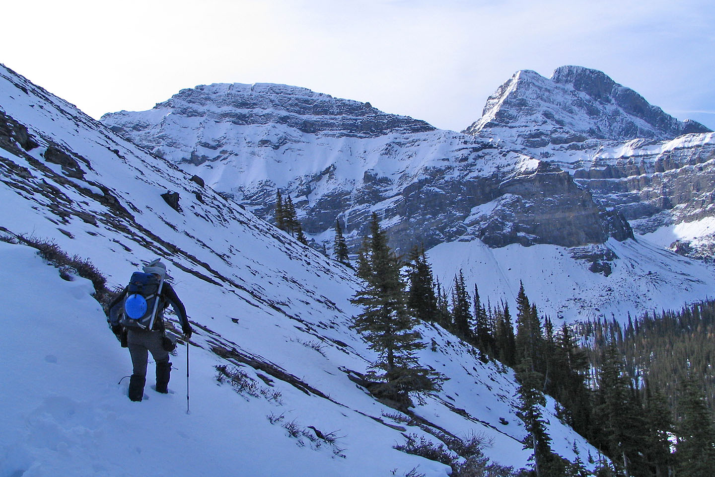
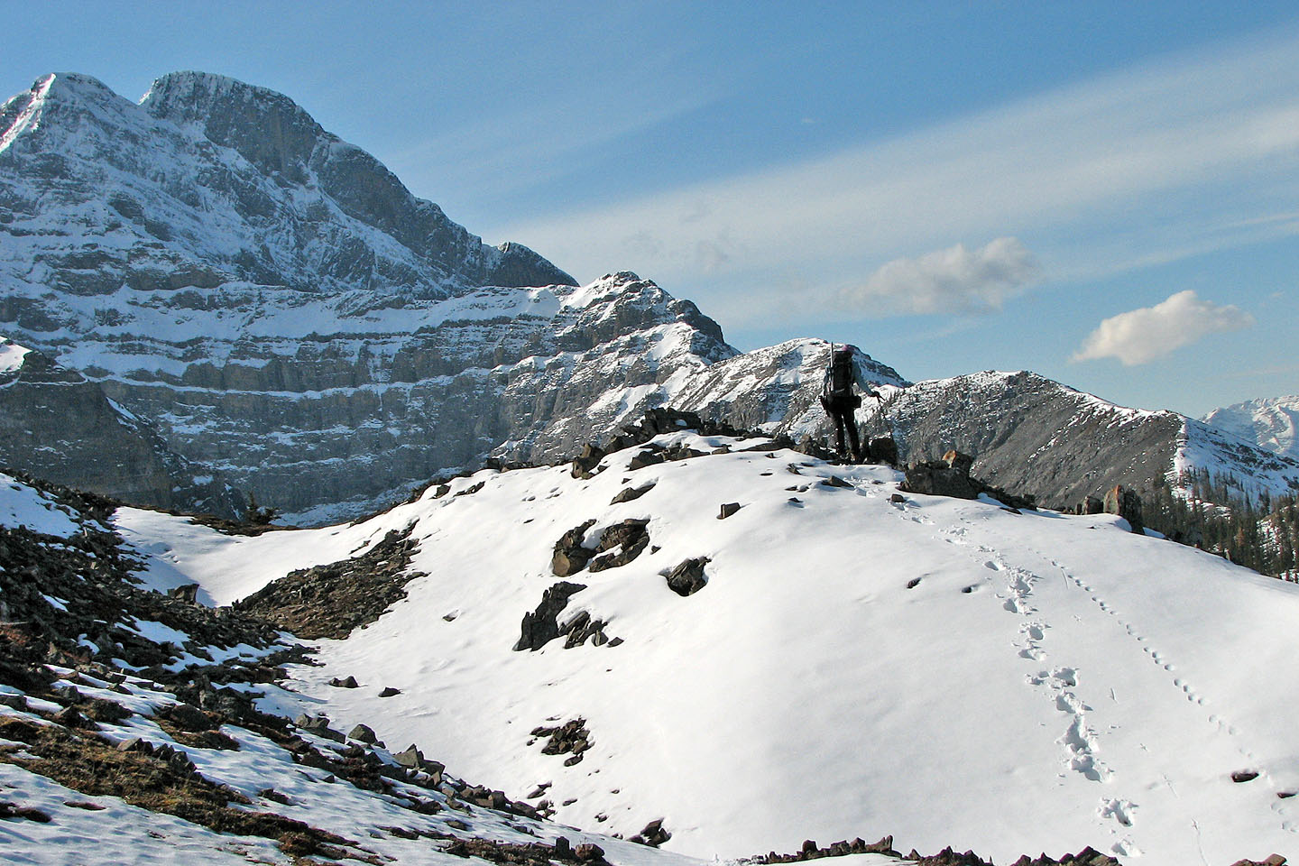
We turned back shortly after this point
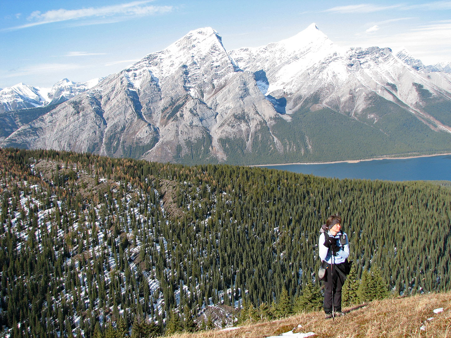
Mount Nestor in the background
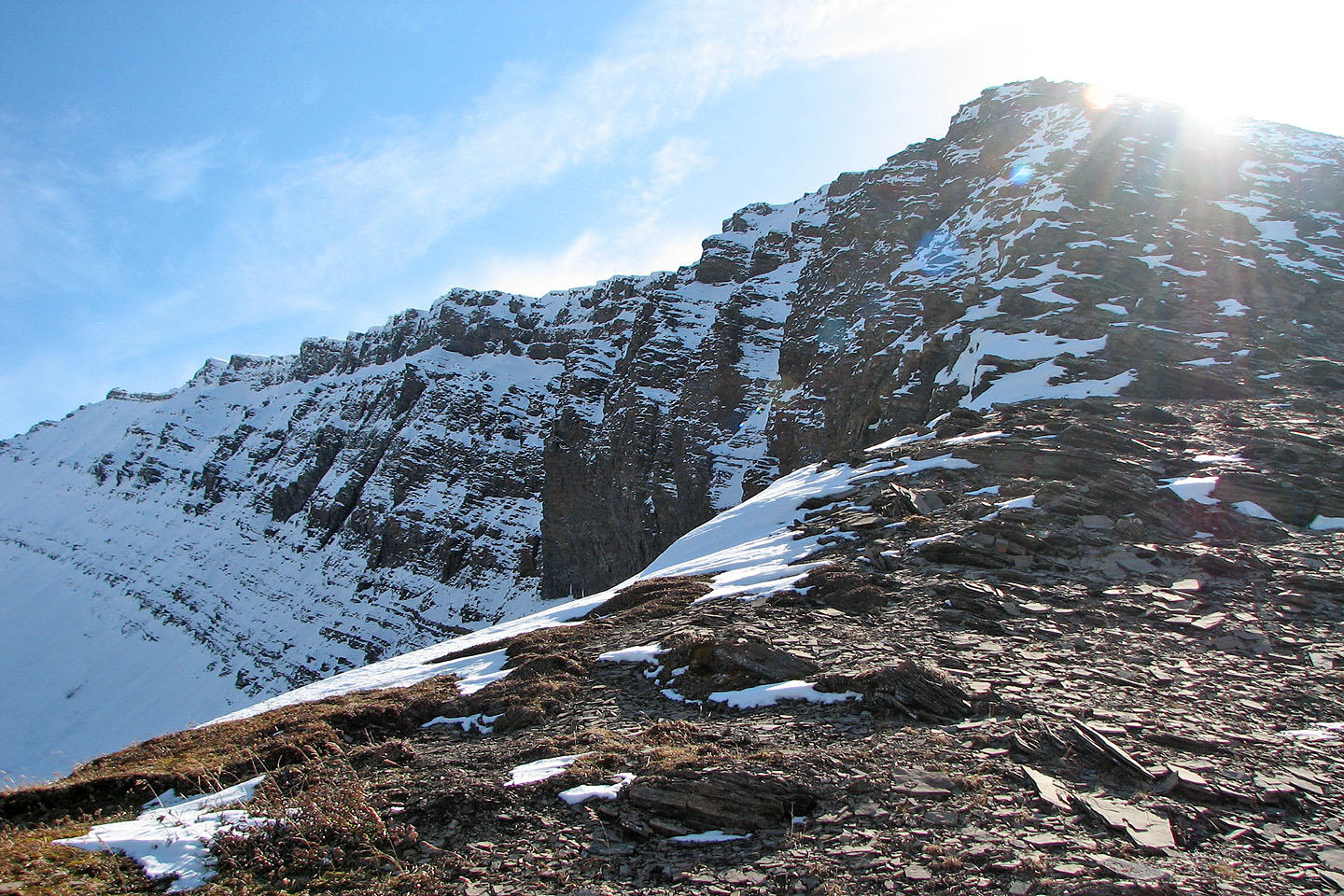
On the shoulder looking up at cliff bands
Looking back at Mount Buller as we descended the shoulder
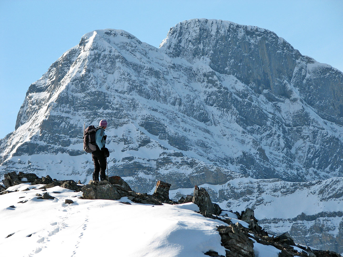
Close up of Mount Buller
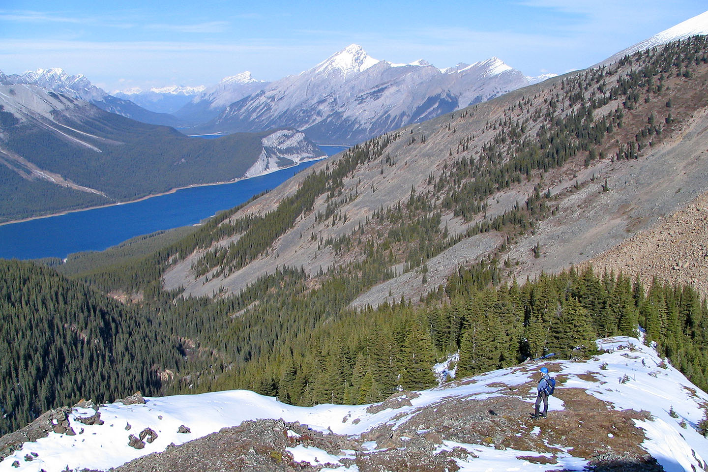
We descend easily down the north shoulder
82 J/14 Sprays Lakes Reservoir