bobspirko.ca | Home | Canada Trips | US Trips | Hiking | Snowshoeing | MAP | About
Smutwood Peak
Kananaskis, Alberta
October 15, 2011
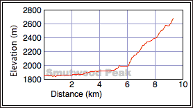
Distance: 19.0 km (11.8 mi)
Cumulative Elevation Gain: 889 m (2917 ft)
Smutwood Peak may have an unappealing name, but don't let that fool you. This mountain sits in grandeur with stellar views of Mounts Birdwood and Smuts. Hence the hybrid name coined by Andrew Nugara.
Climbing Smutwood wasn't my idea; it was chosen by Raff who suggested it to Sonny, and Sonny invited Dinah and me to join him and Raff.
The route is straightforward enough. Follow the trail up Commonwealth Creek Valley to Smuts Pass and then to the High Col. From the col, head north along the ridge to the summit of Smutwood.
The vistas begin well before reaching the summit, on the pass where Mount Smuts presents its majestic west face. From the pass, the trail – much of it now buried under snow – cut into the scree slopes above Birdwood Lakes. Upon reaching the High Col, we took a short break before starting up the ridge to the summit.
We stuck close to the crest until we came across a trail, so obvious that even a few inches of snow couldn't completely hide it. The trail skirted around a false summit before disappearing into a snowbank. But past that, the route was self-evident. After dropping down to the col connecting the true and false summits, we picked up the trail leading to the top of Smutwood. Still, the summit wasn't easily gained. With so much snow covering loose rock, we had to use care on the steeper sections. But the four of us were soon stomping our boots on what little surface the narrow summit offered.
After a half-hour stay on the summit, much of it spent snapping photos, we headed back down. At Smuts Pass, we decided to try the trail (not shown on my map) that heads northeast. Although the trail worked well on the scree slopes, once it entered the trees it became faint. Eventually it turned back to the main trail, but we saw no advantage in taking it.
We enjoyed the wintery scenery on Smutwood Peak, but this mountain must also offer spectacular scenery in the summer. Whatever climbing season, it should be on every scrambler's bucket list.
KML and GPX Tracks
Sonny's Trip Report
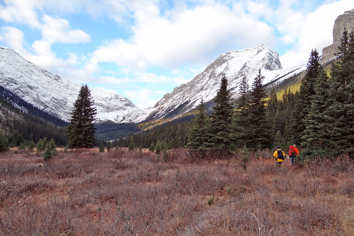
Heading to Smuts Pass at the end of the valley
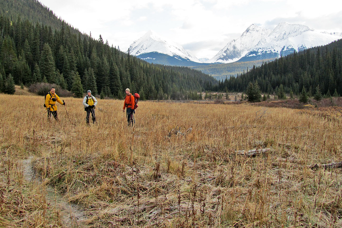
Looking back
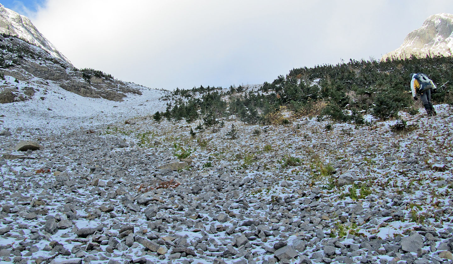
Starting up the pass
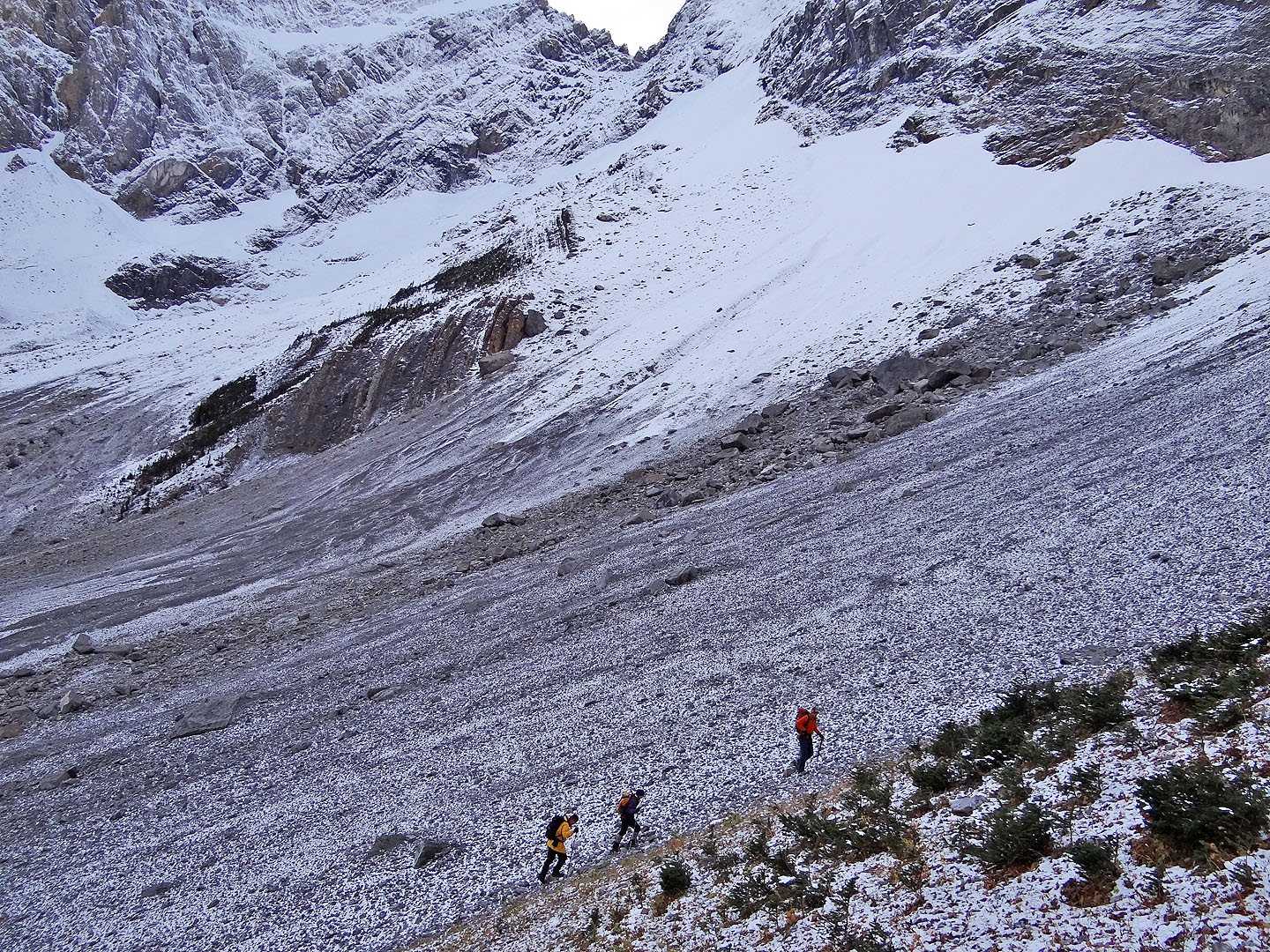
Looking down
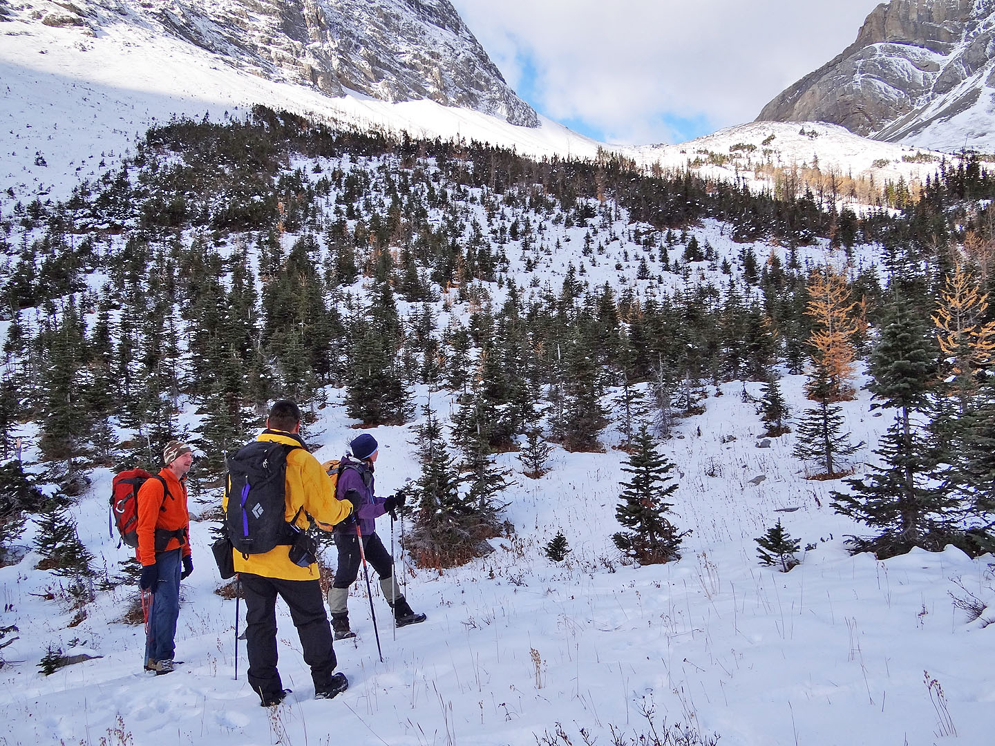
The trail runs through mixed terrain to the pass above

We reached the treeline
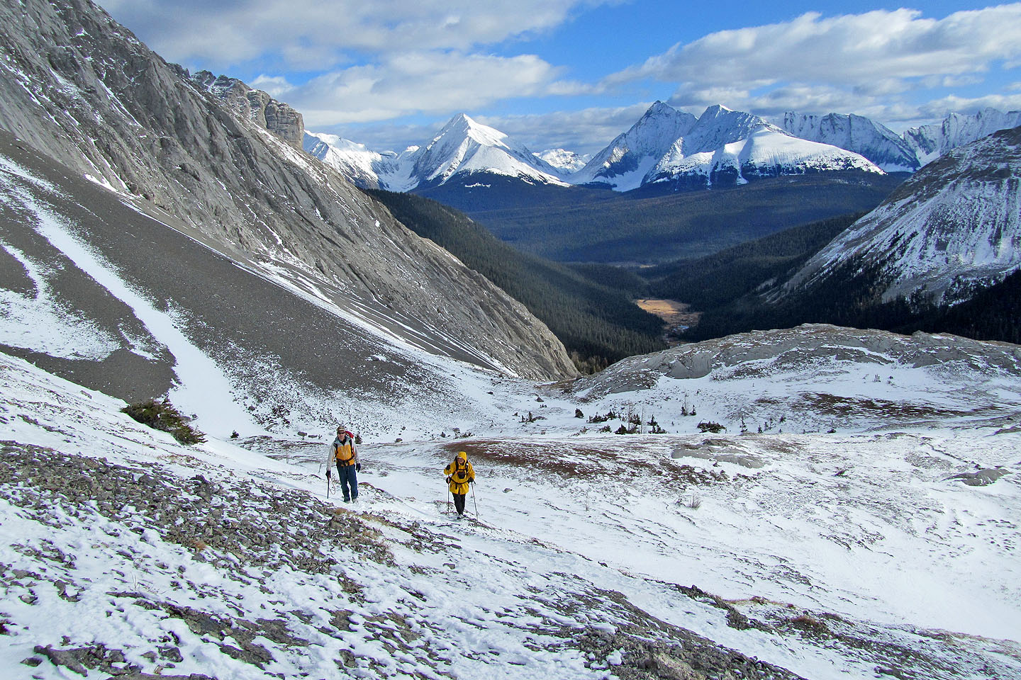
Almost at the pass
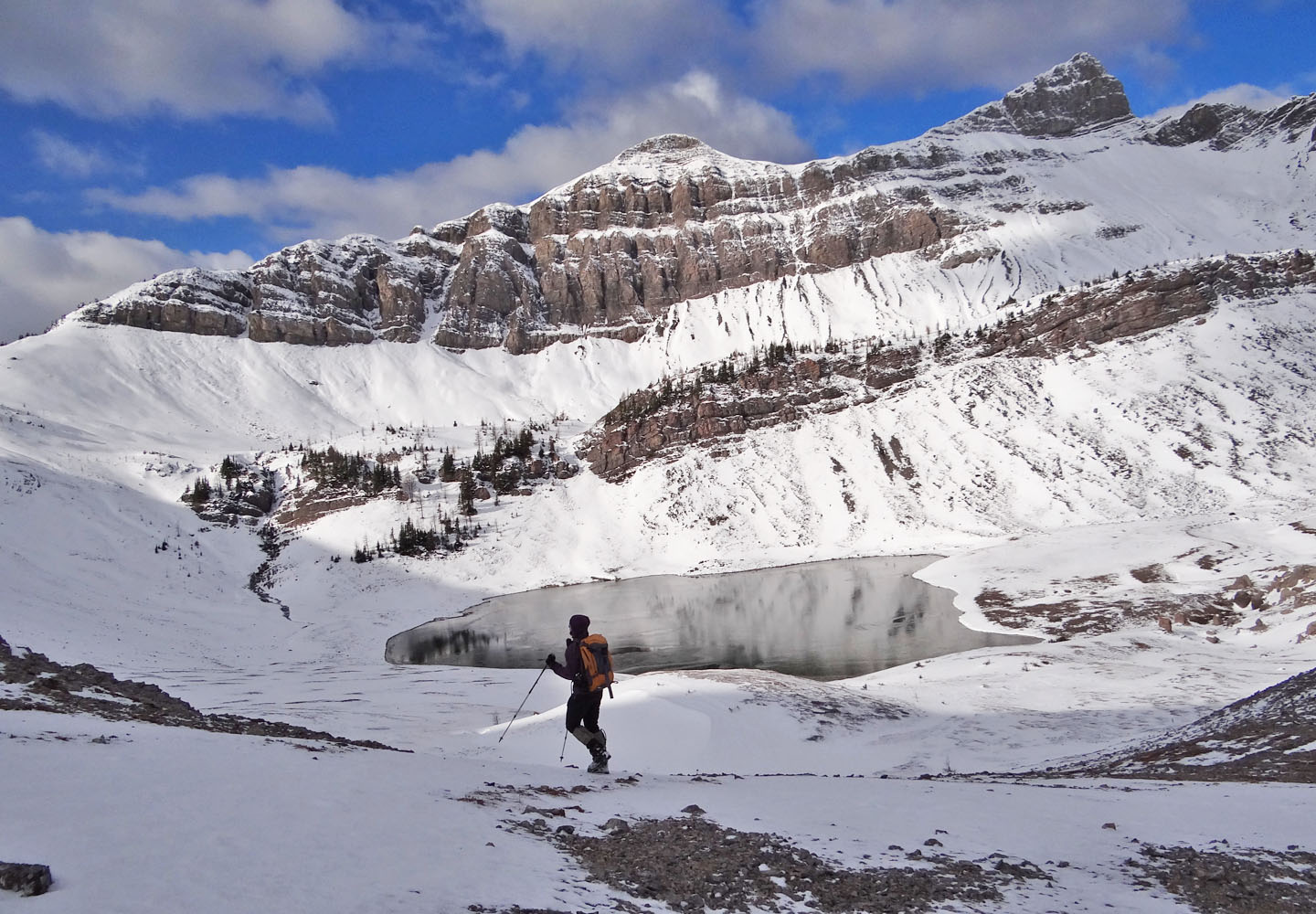
Smuts Pass: Smutwood Peak on the right
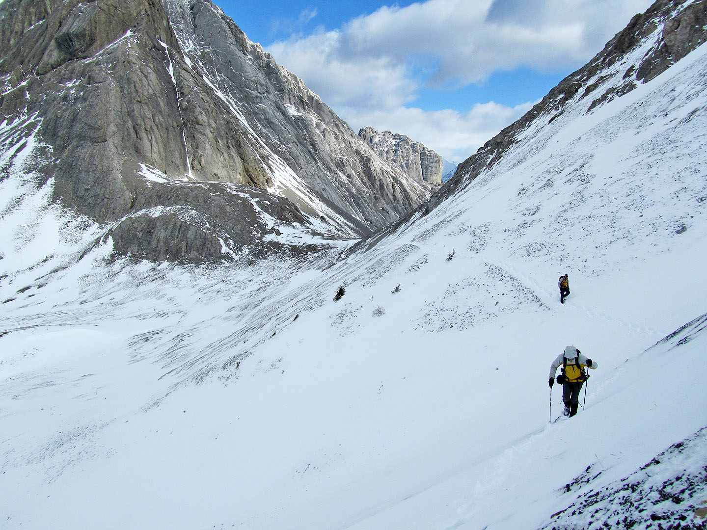
The trail traverses slopes between Smuts Pass and the High Col
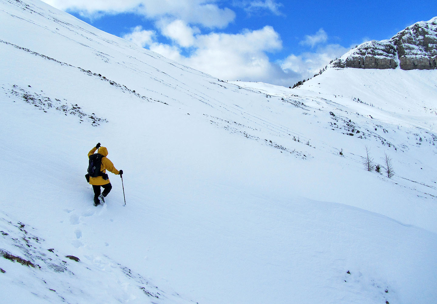
Sonny breaks trail to the High Col
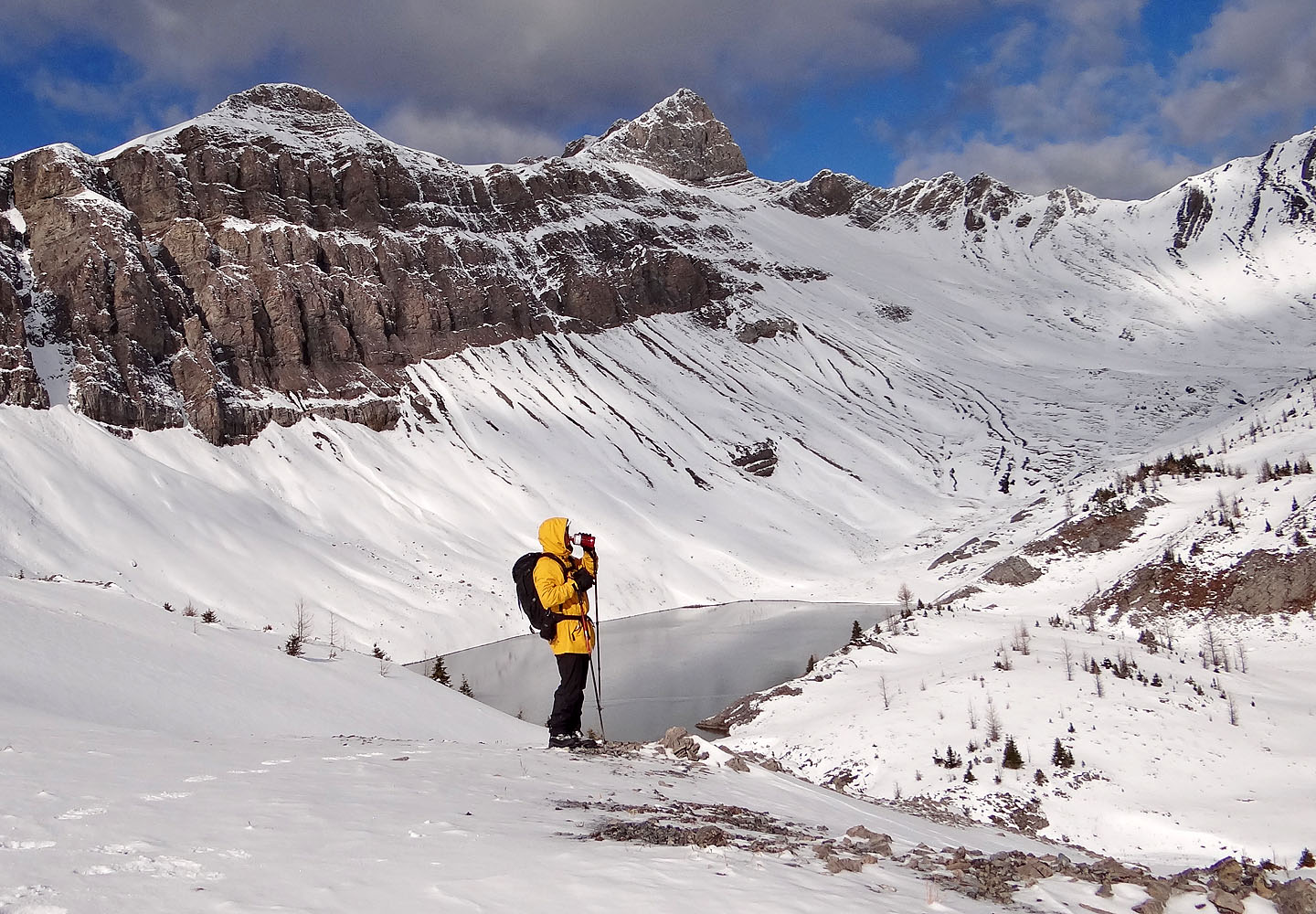
Sonny pauses to take a drink with Smutwood Peak above him
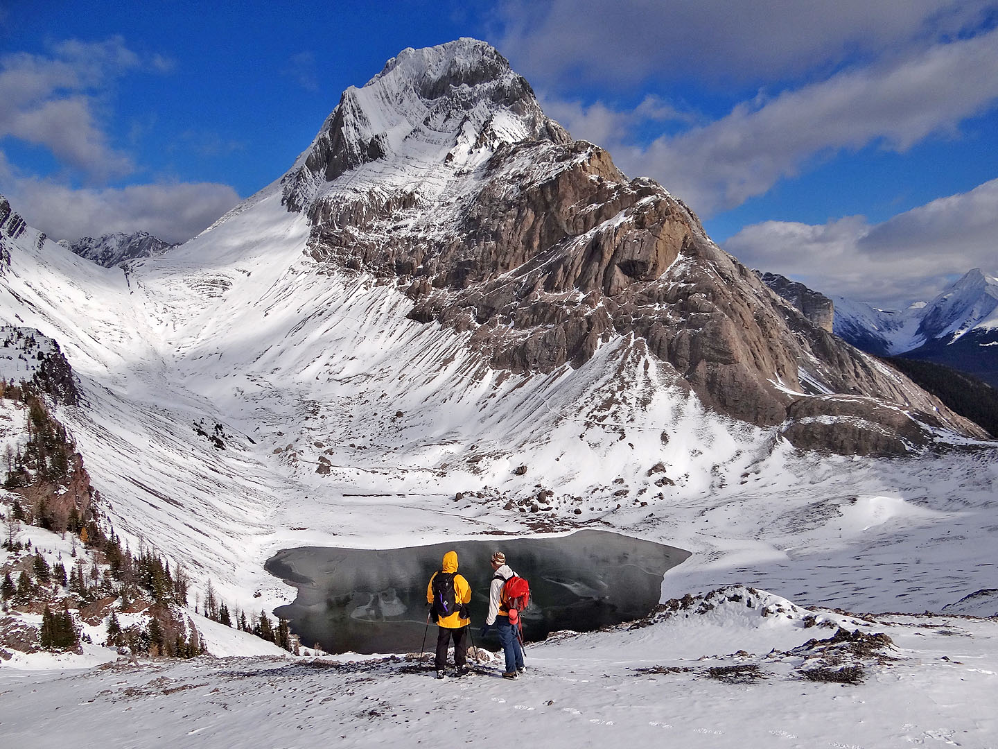
Sonny and Raff study Mount Smuts
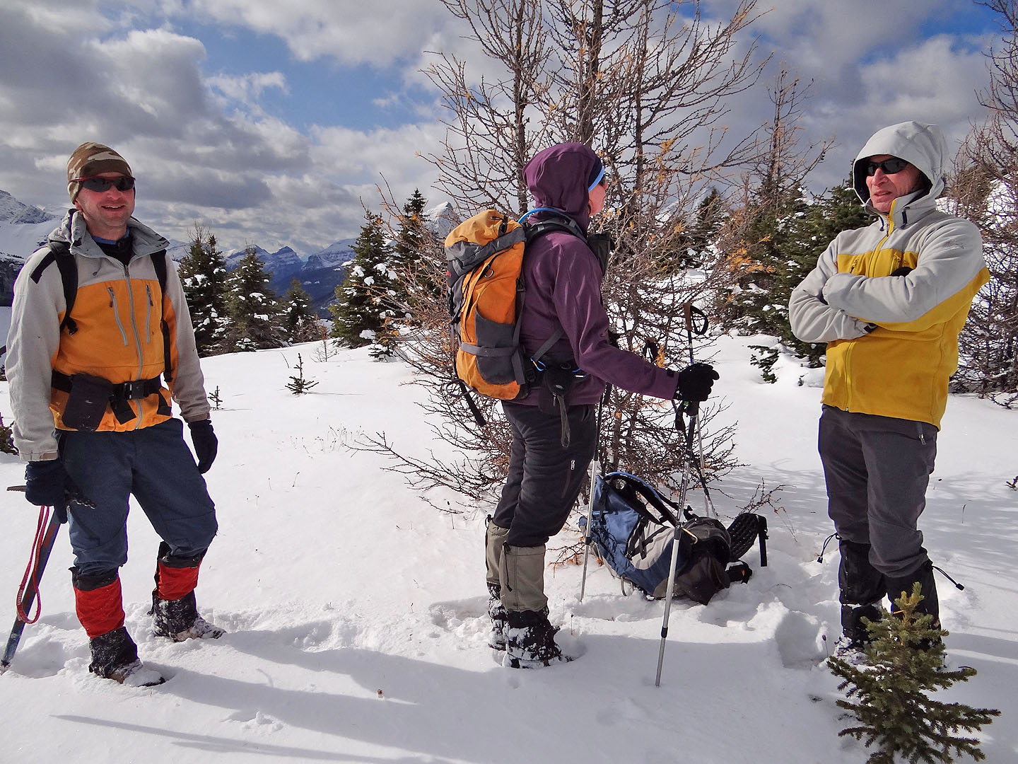
On the High Col, Sonny tries out my new camera
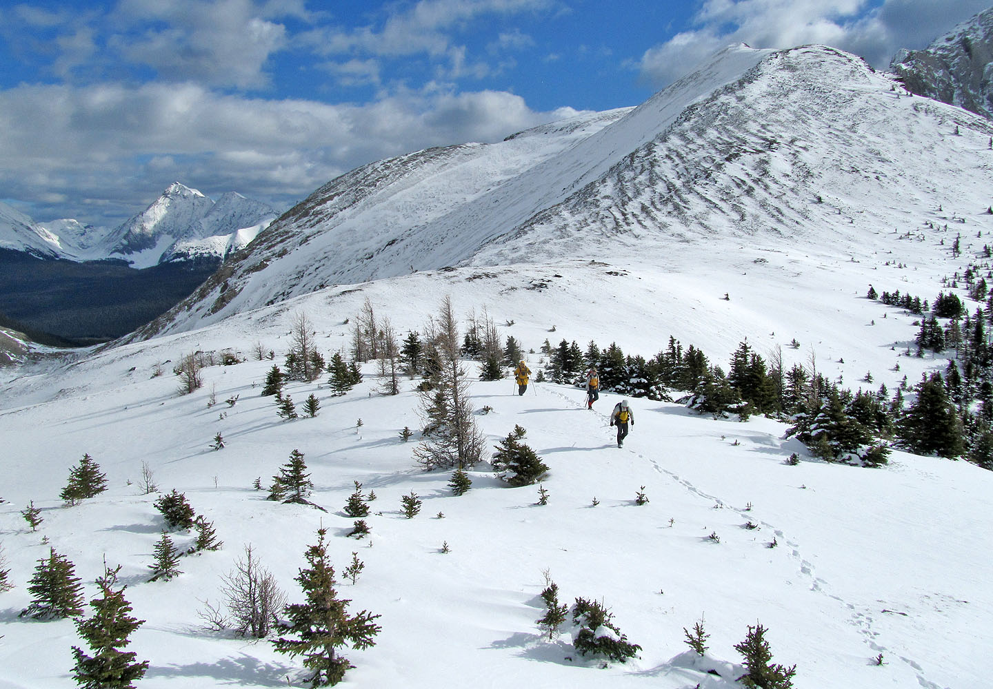
Starting up Smutwood from the col
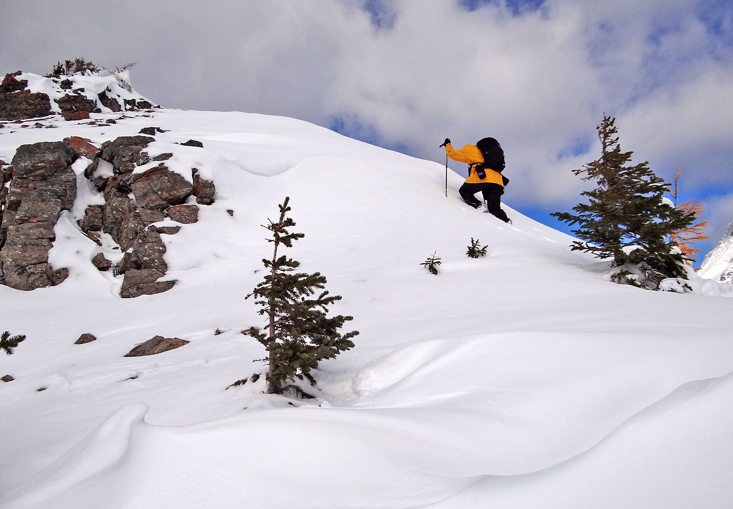
Sonny leads the way
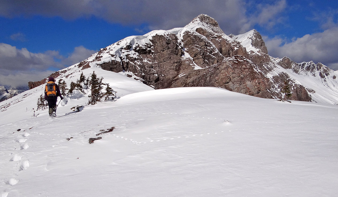
The ridge will soon become rugged
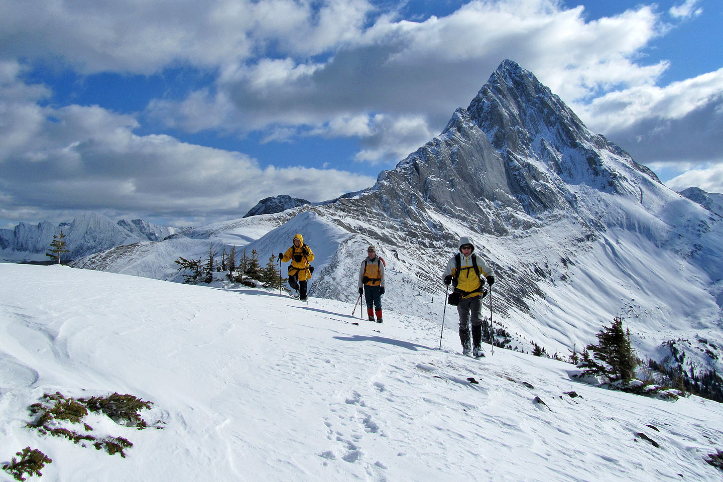
Looking back at Mount Birdwood
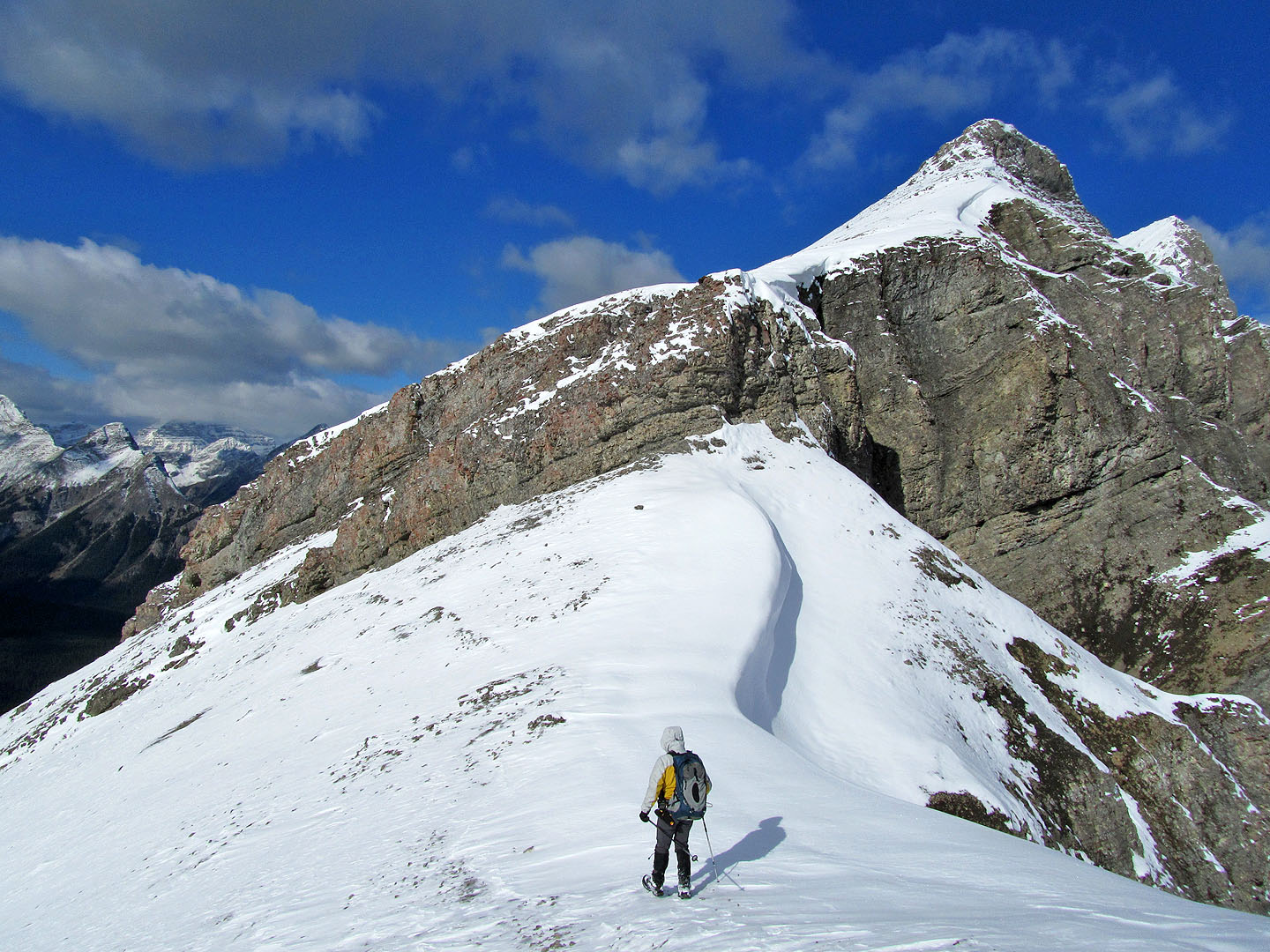
False summit and true summit above
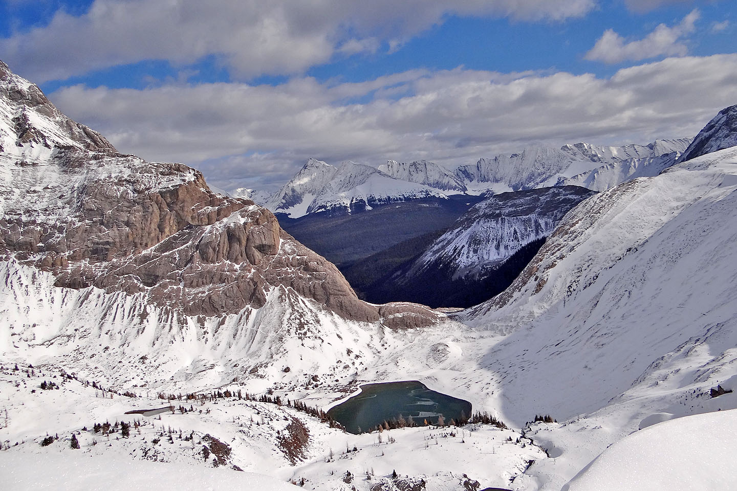
Looking down at the pass
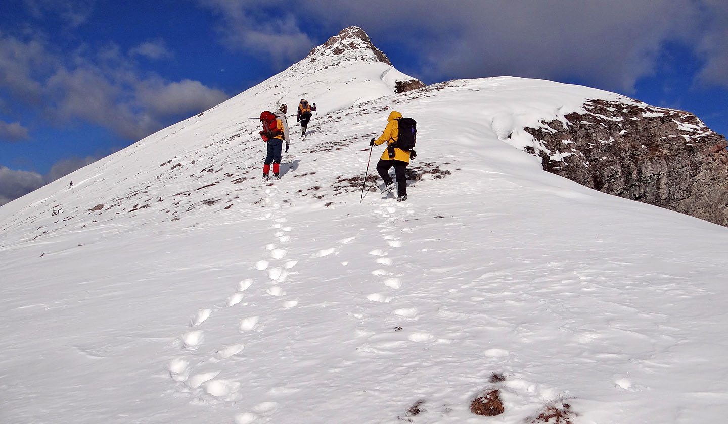
The trail goes left around the false summit
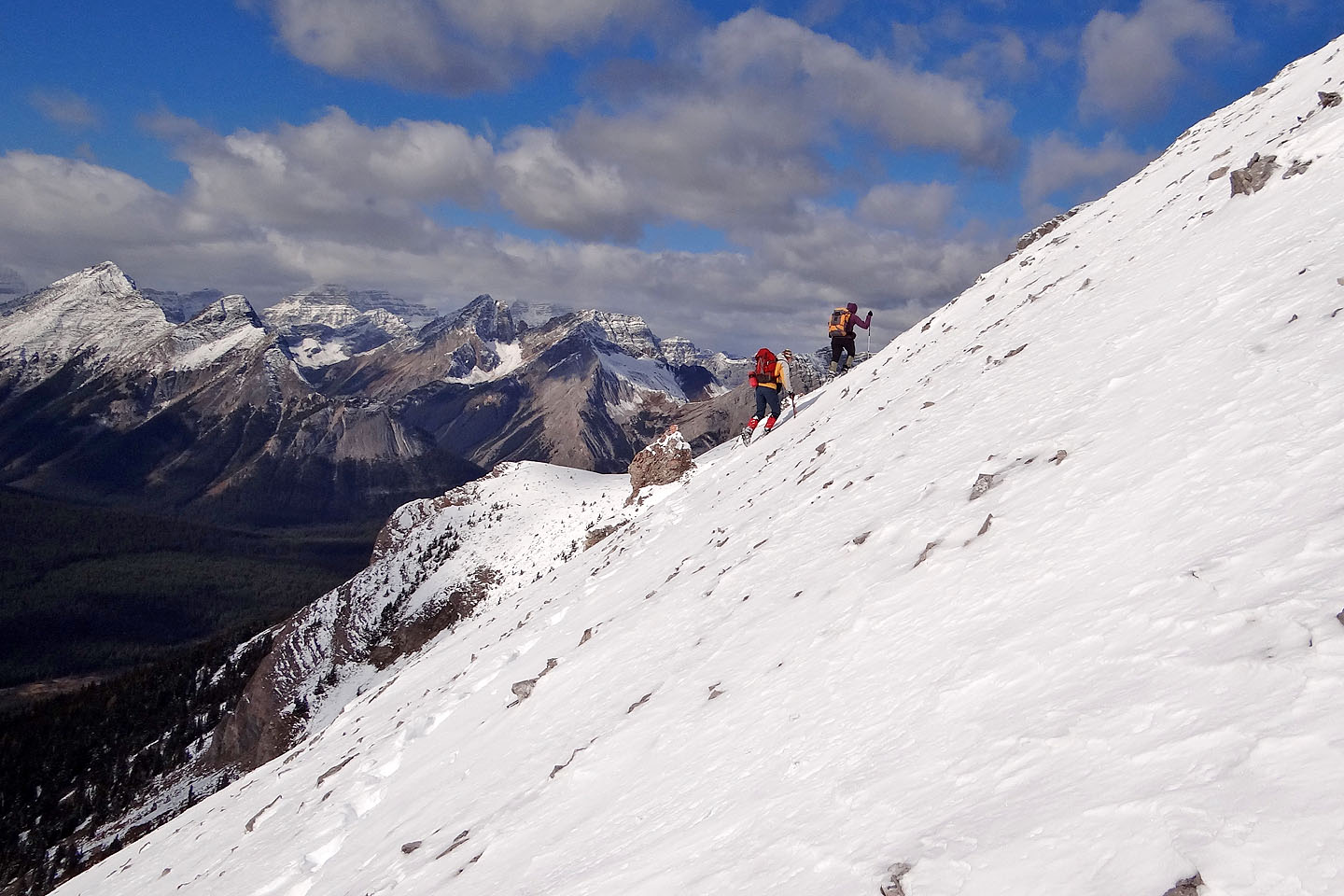
Making tracks below the false summit
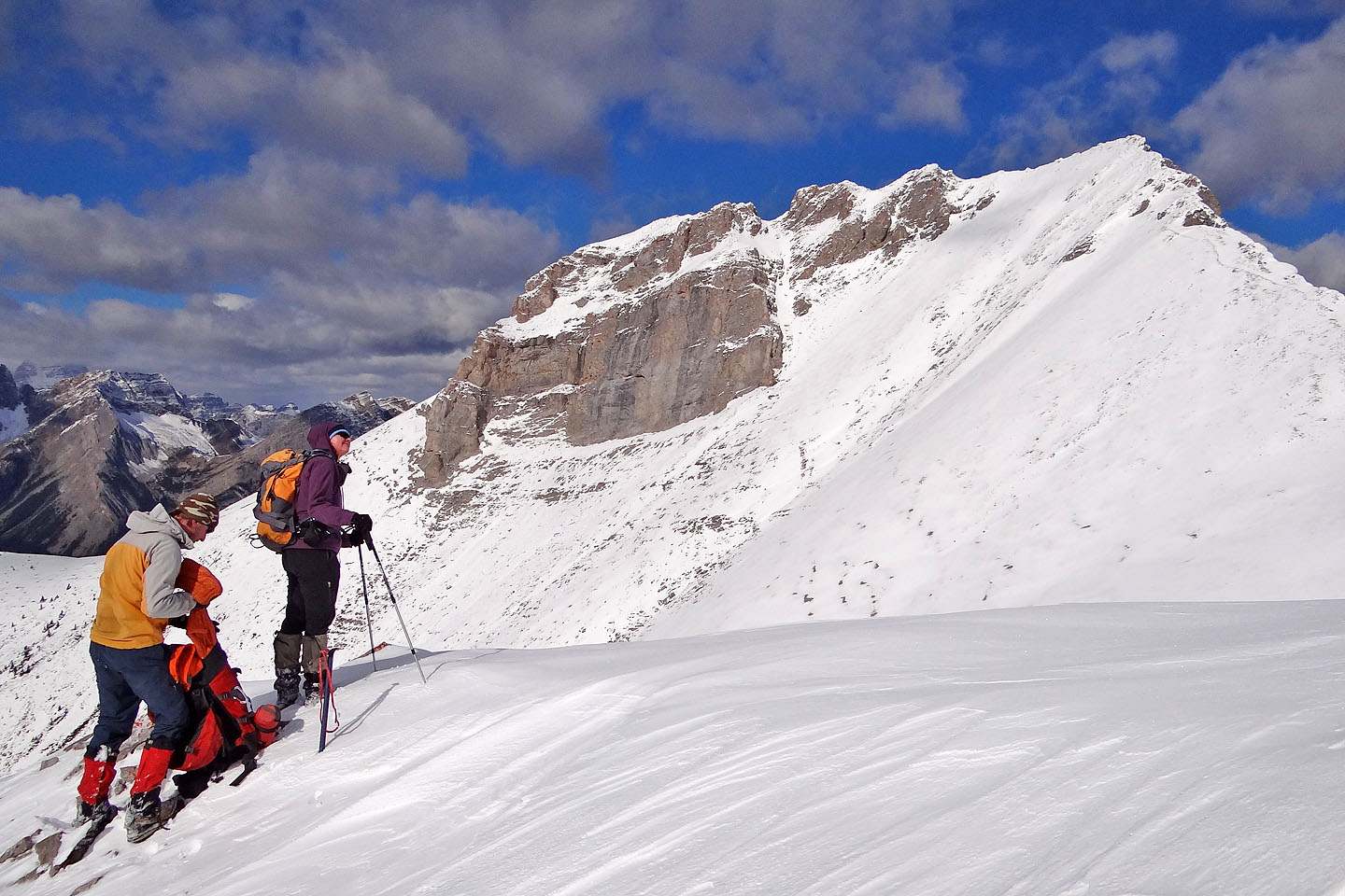
True summit ahead
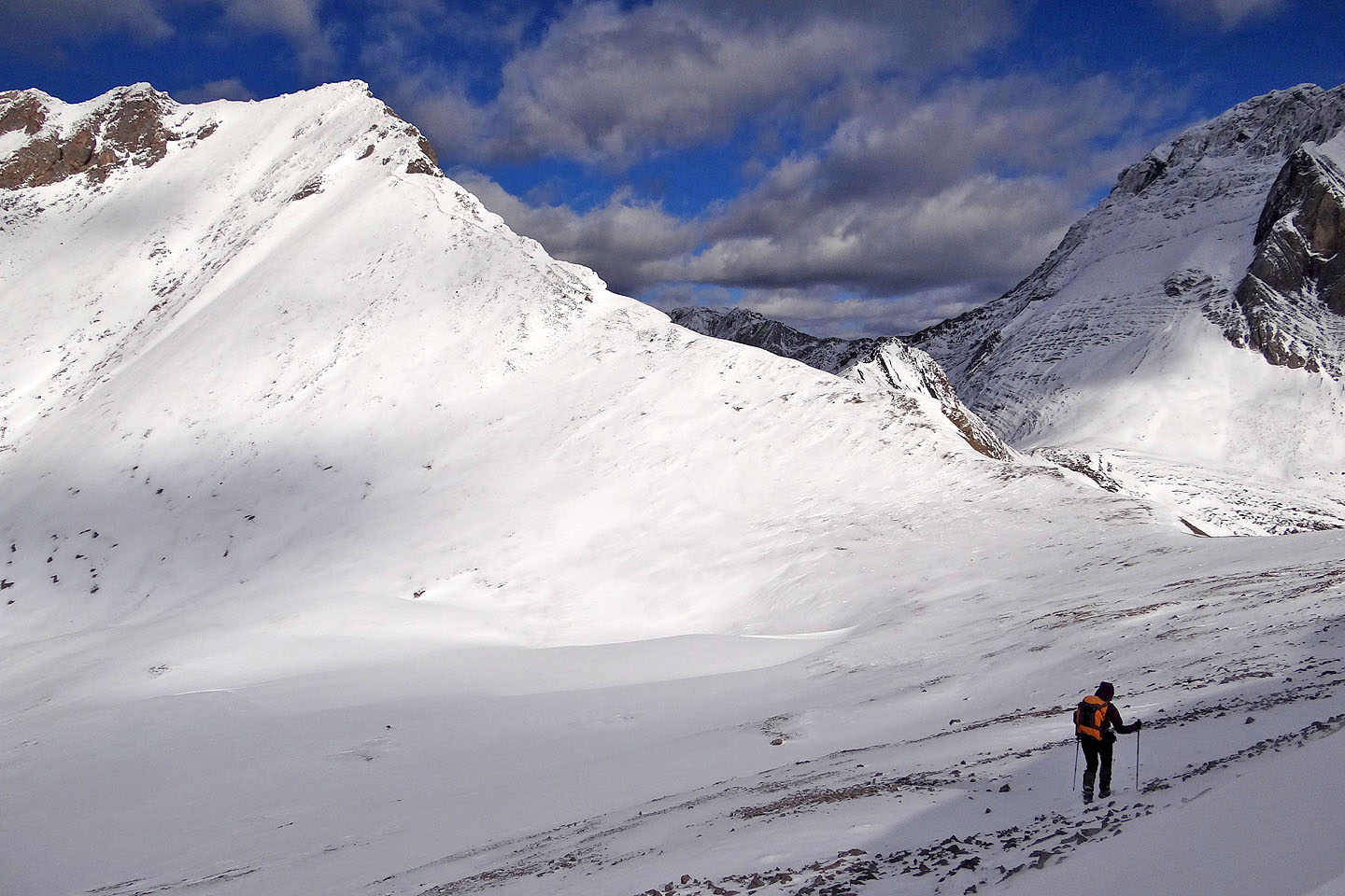
Starting down
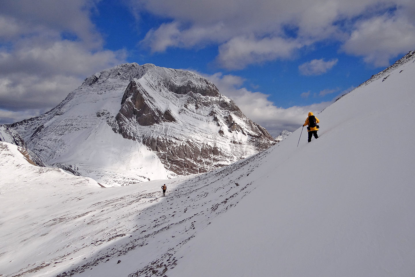
Heading to the col between the true and false summits (mouse over to look back)
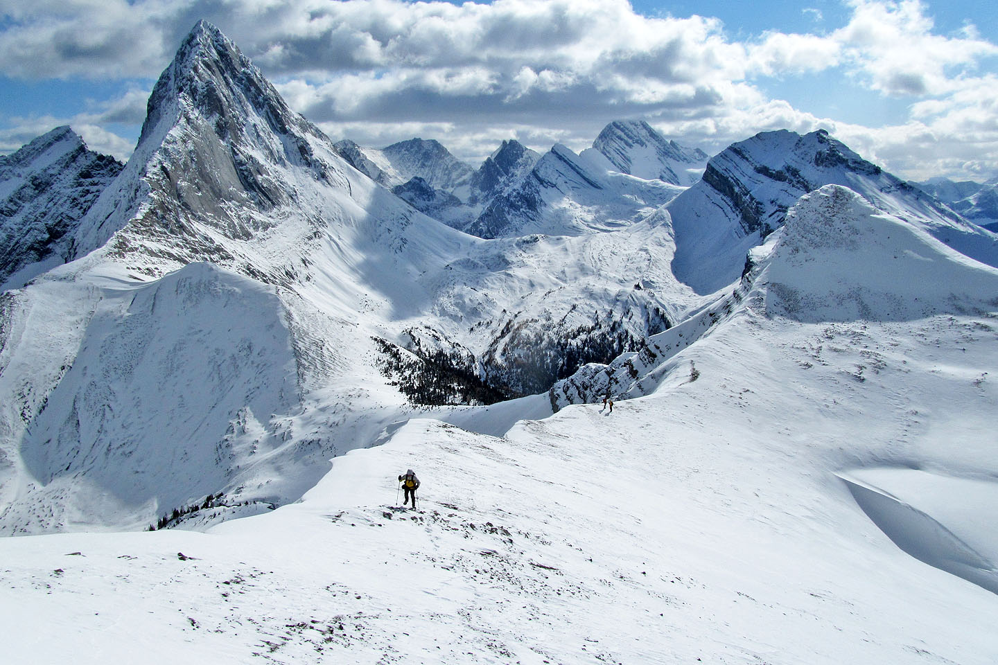 Looking back from above the col
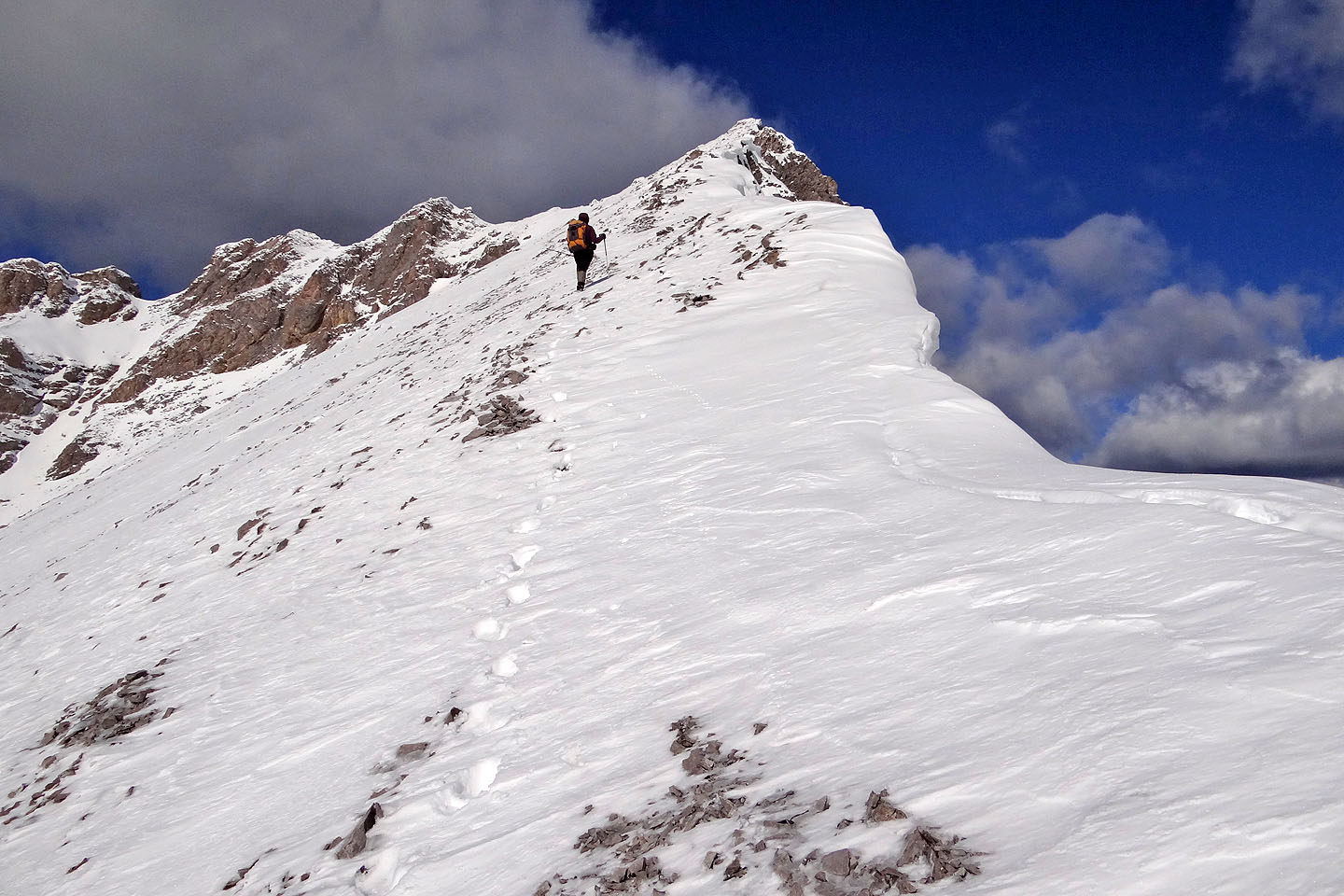
Dinah leads the way to the summit
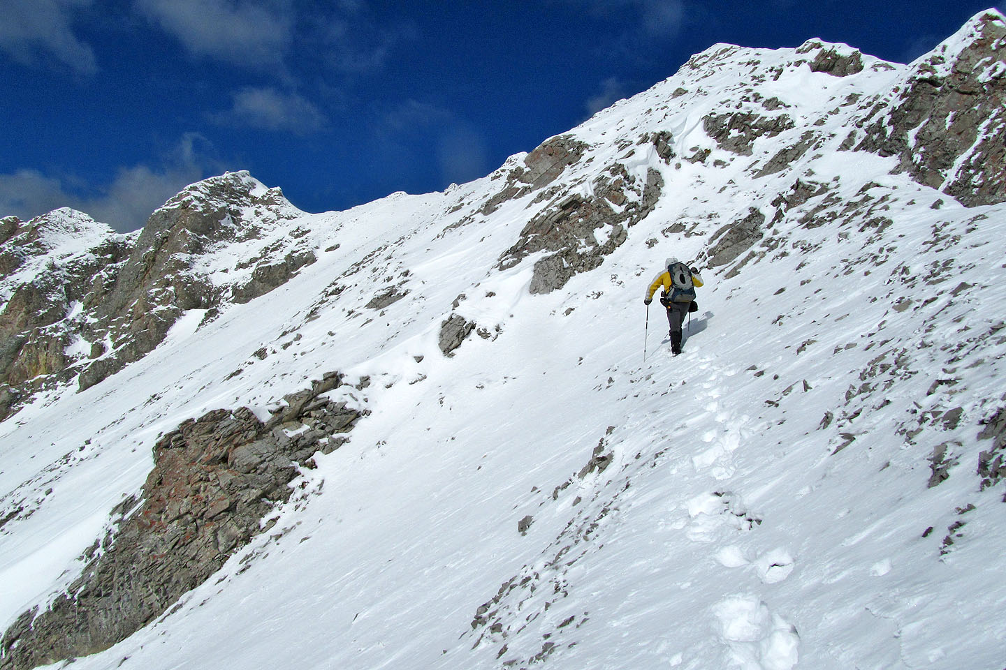
The crux of our trip was the rocky, steep slope in front of me
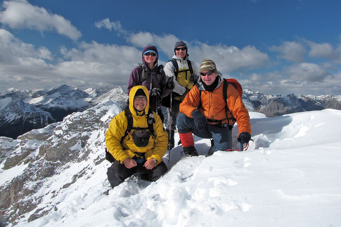
Posing on the summit
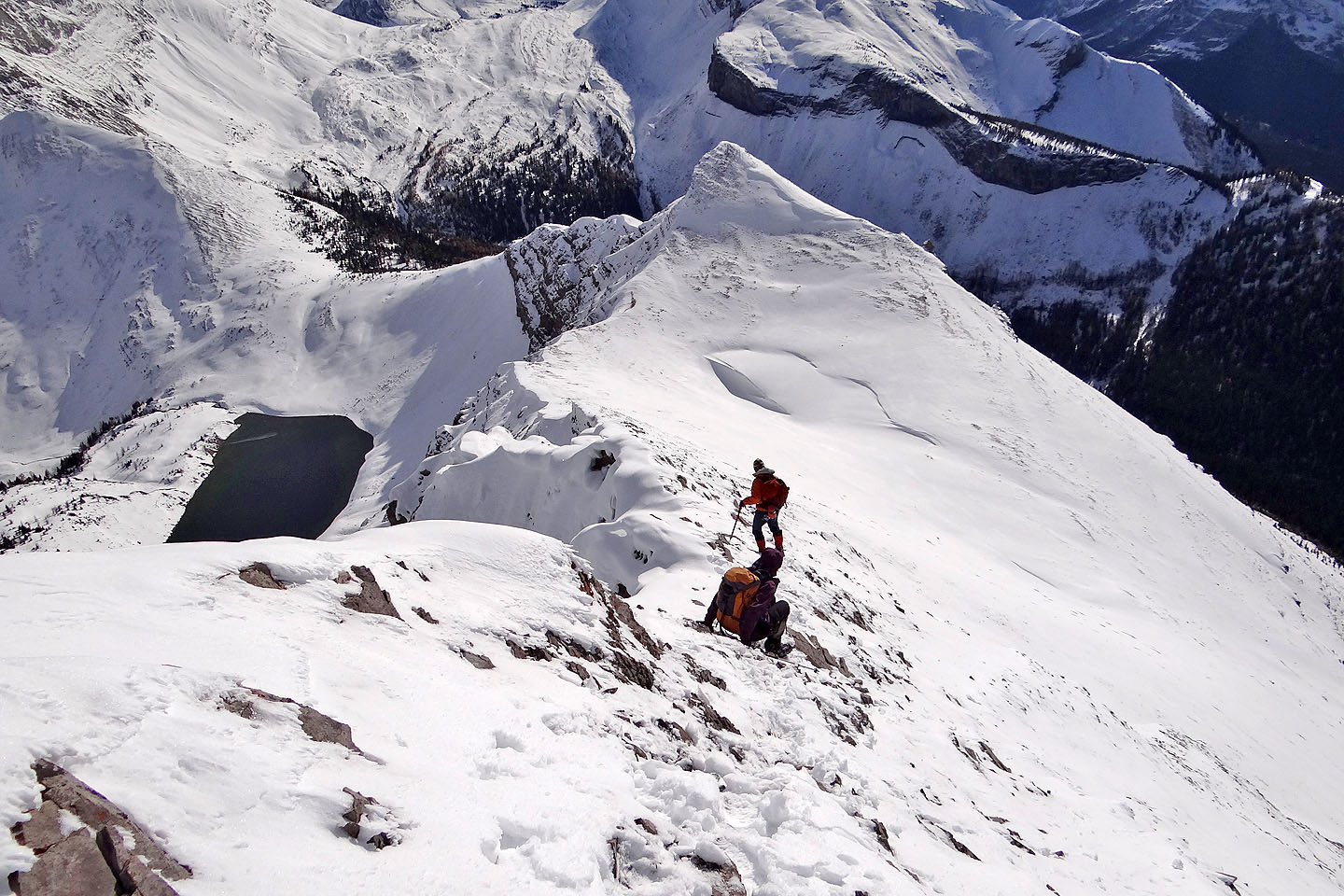
Heading back, Dinah inches down a steep section
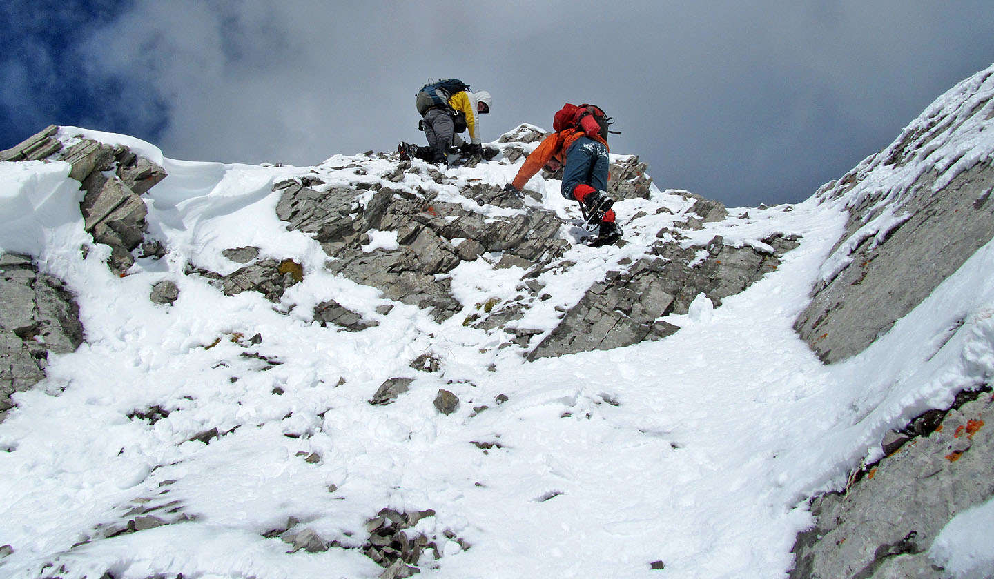
Coming down the crux
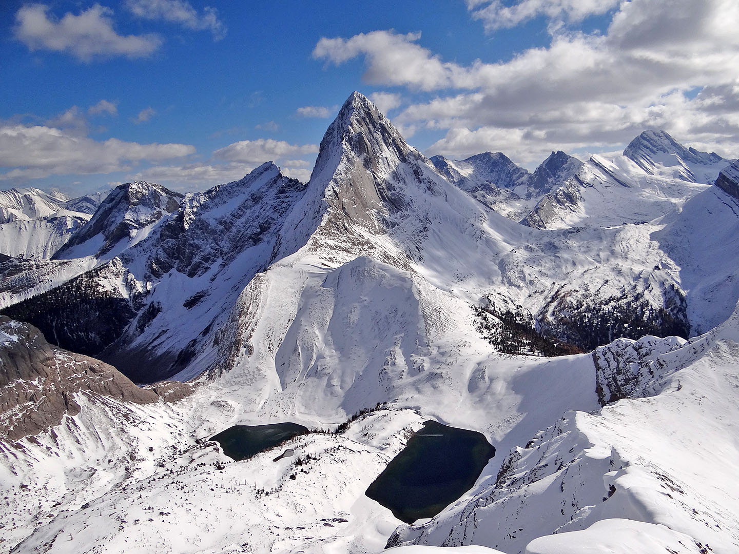
Mount Birdwood rises above Birdwood Lakes
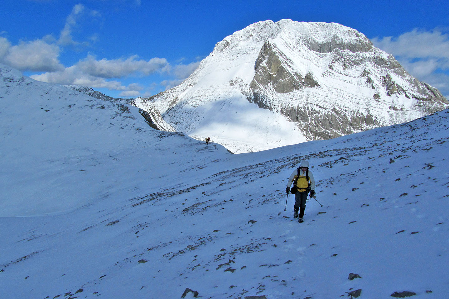
Raff and Sonny stop to study Mount Smuts
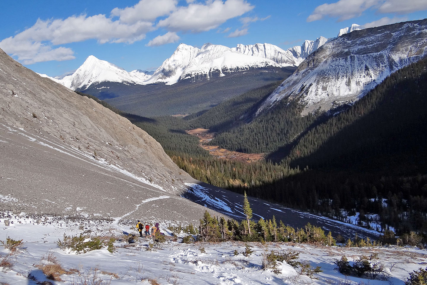
From the pass the main trail turns right, but we descended an alternate trail on the left. However, it didn't
offer any advantage that we could see.
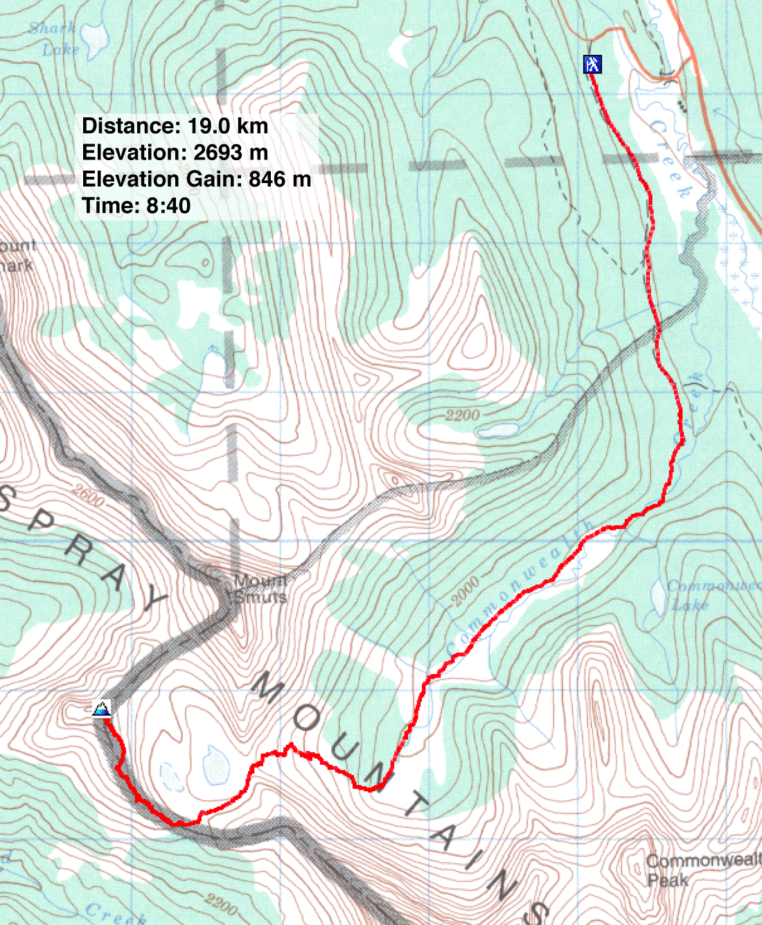
82 J/14 Spray Lakes Reservoir
