bobspirko.ca | Home | Canada Trips | US Trips | Hiking | Snowshoeing | MAP | About
Holy Cross Mountain, South End (attempt)
Kananaskis, Alberta
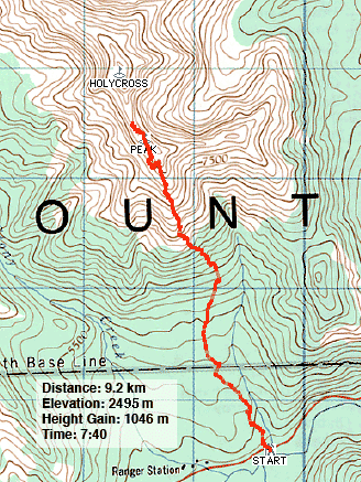
December 7, 2002
This was a weak attempt to bag Holy Cross Mountain from the south ridge. I say "weak" since December is short on daylight for a long scramble.
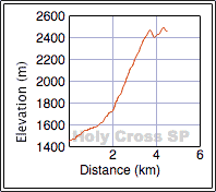
Dinah and I parked left of Gunnery Mountain at a drainage and started up the wooded slope. Having studied the south end of the mountain and its cliff bands, I had an idea of where we wanted to go. Once in the trees, however, we couldn’t get our bearings, but fortunately we broke out of the trees into a gully. We had no difficulty in reaching the first high point (2478 m) on the south end of the mountain.
After that, travel became much more difficult. There was a slightly higher point to the north, but we couldn’t reach it using the connecting ridge. We had to drop down about 80 m below the ridge to continue. Nor were we able to ascend the other high point.
We continued traversing, mostly below the ridge, until we knew we had to turn back because of the lack of daylight.
Although we didn’t make it to Holy Cross Mountain (we did return to climb it using the popular east ascent) or even the south summit, the south end of Holy Cross has some fascinating rock formations that made it worthwhile.
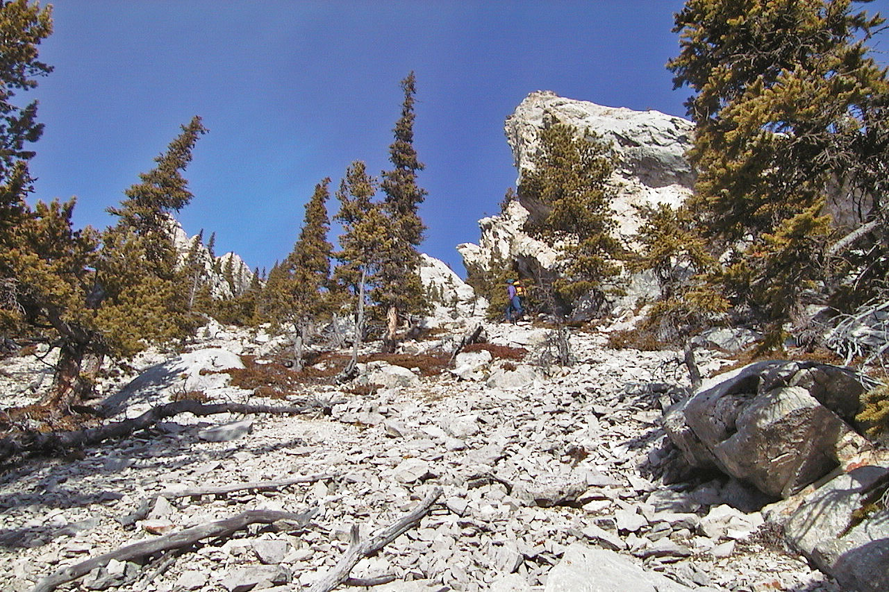
Hiking up the gully
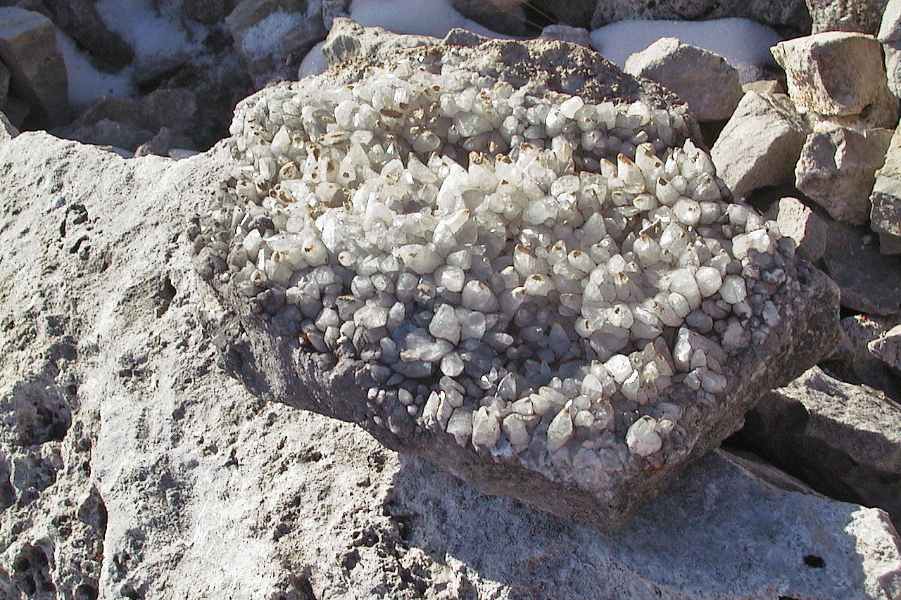
Interesting crystals
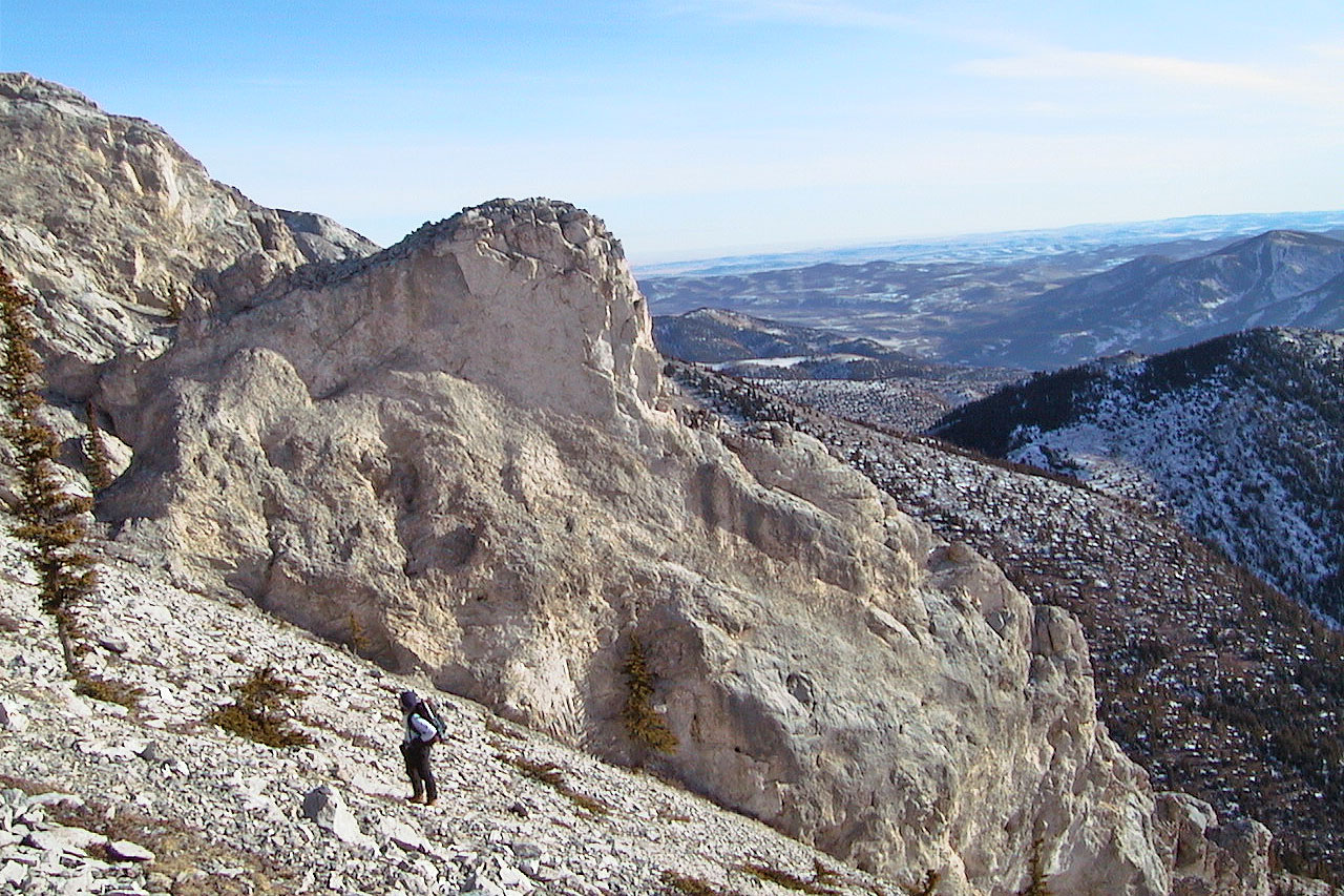
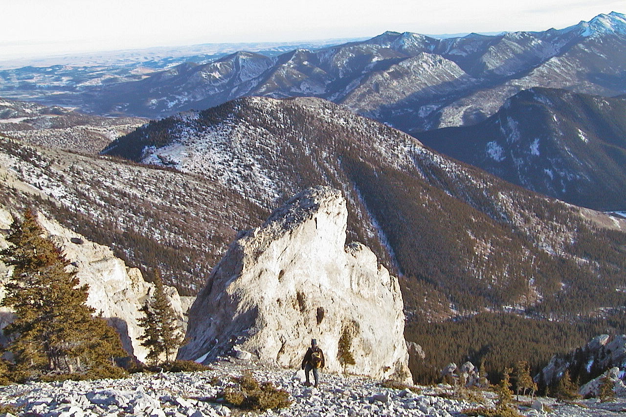
We passed by this rock fin at the top of the gully
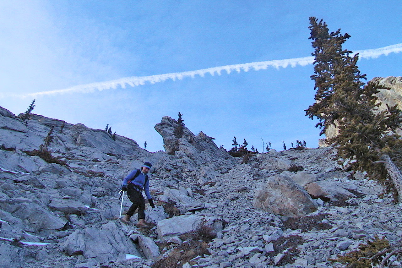
The slope begins to steepen
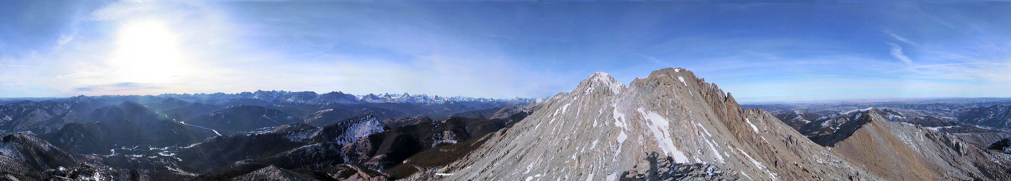
On the first high point. Holy Cross is on the far left.
Looking west, Junction Hill in the foreground
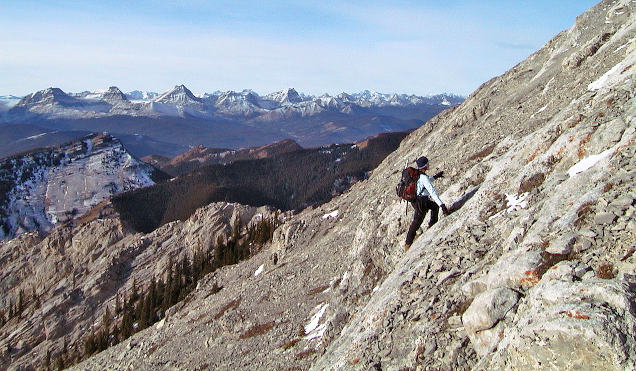
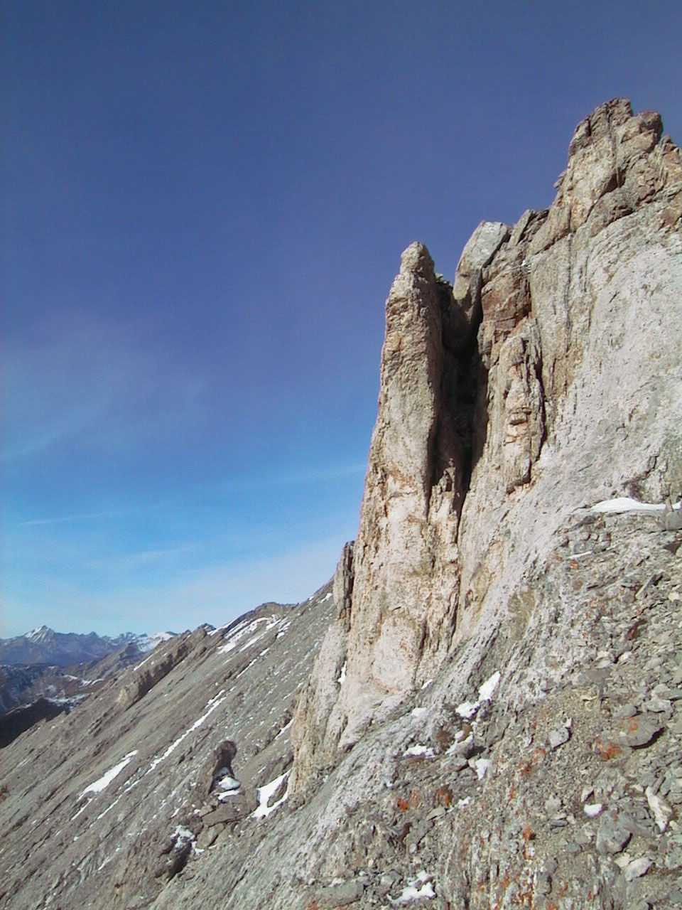
Passing a pinnacle
Looking back along the ridge
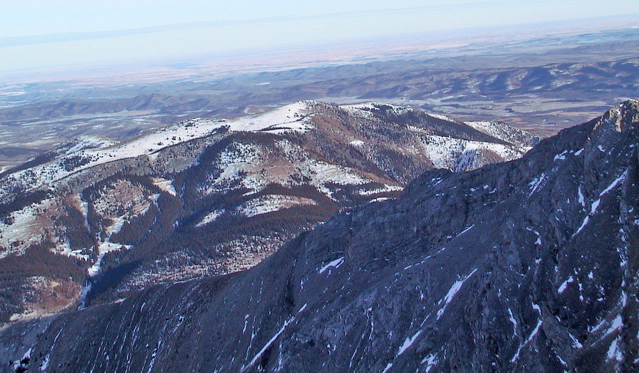
Bull Creek Hills
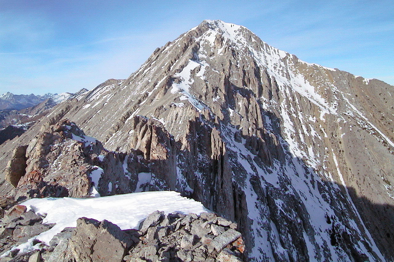
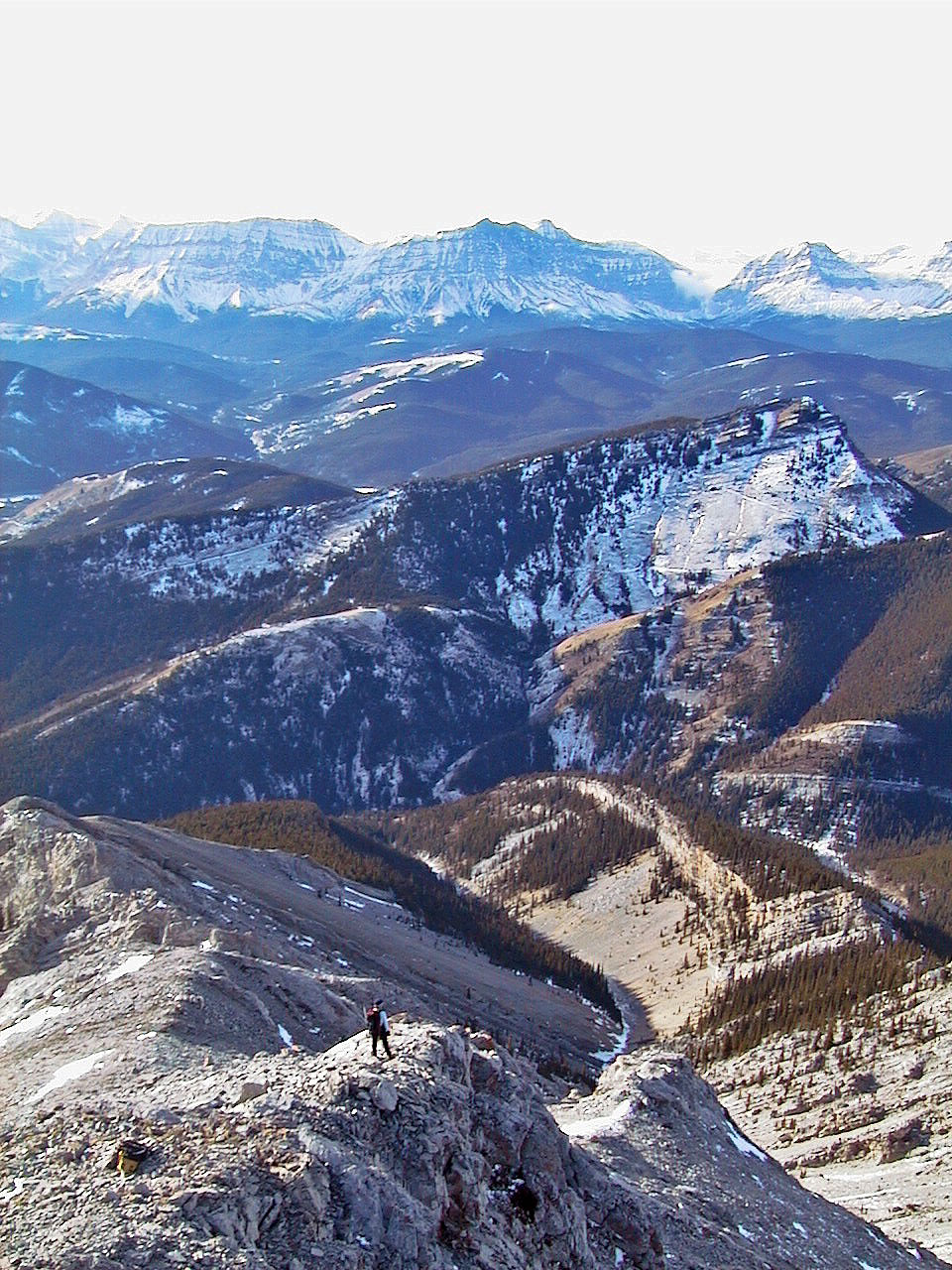
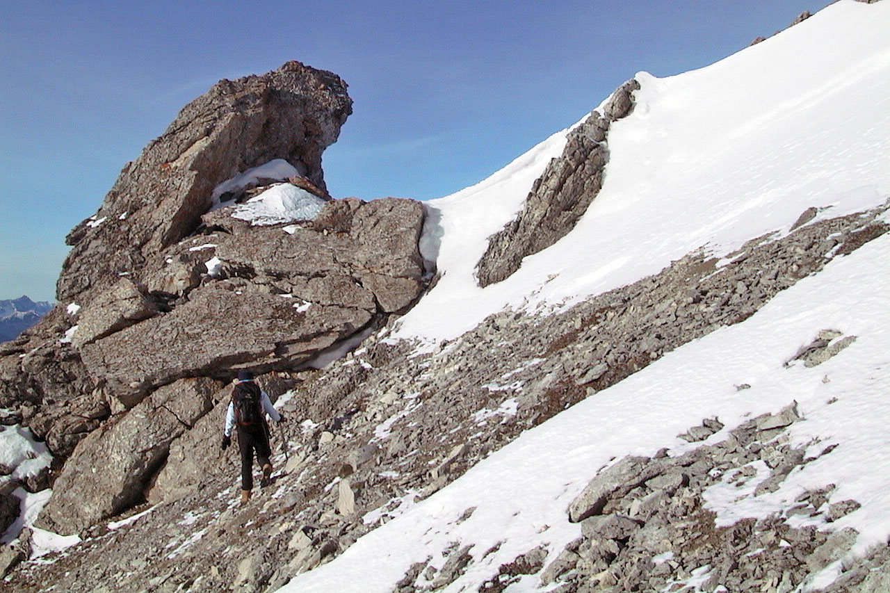
Holy Cross Mountain is still far away
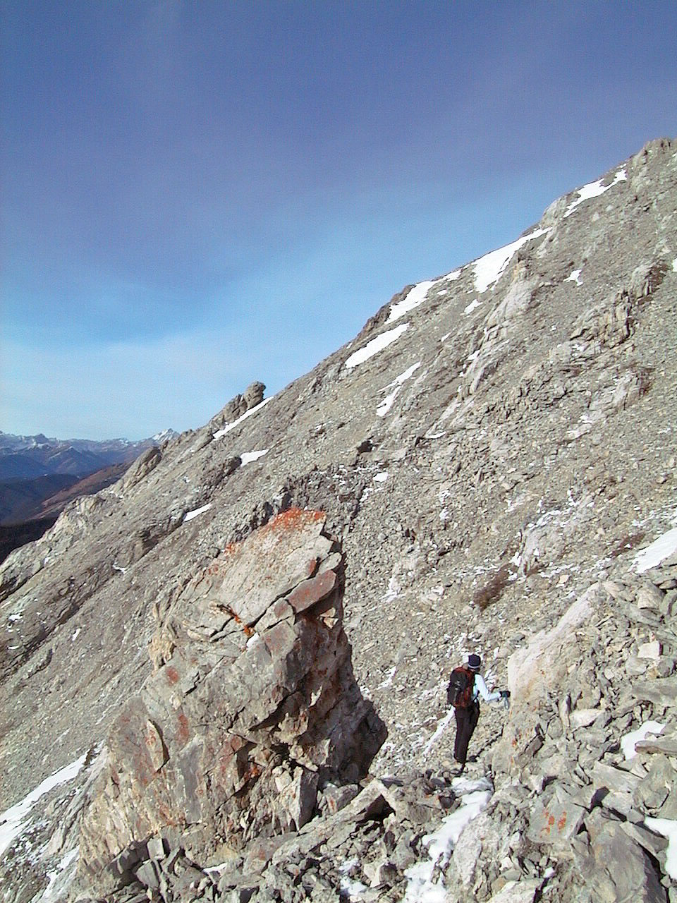
We were forced to drop down to the rock blade below
Heading to the rock blade
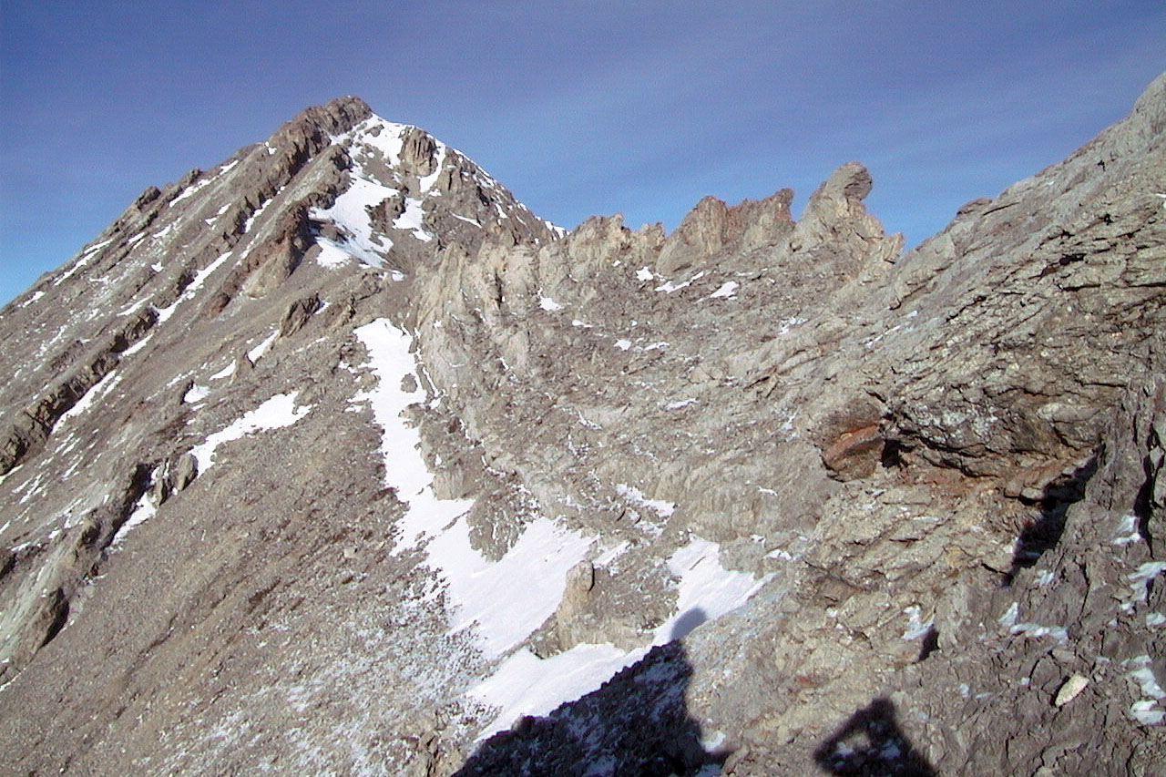
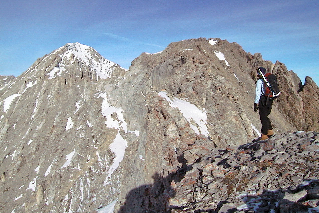
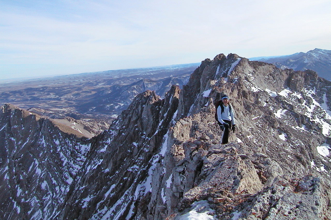
A serrated knife edge ridge leads to Holy Cross Mountain
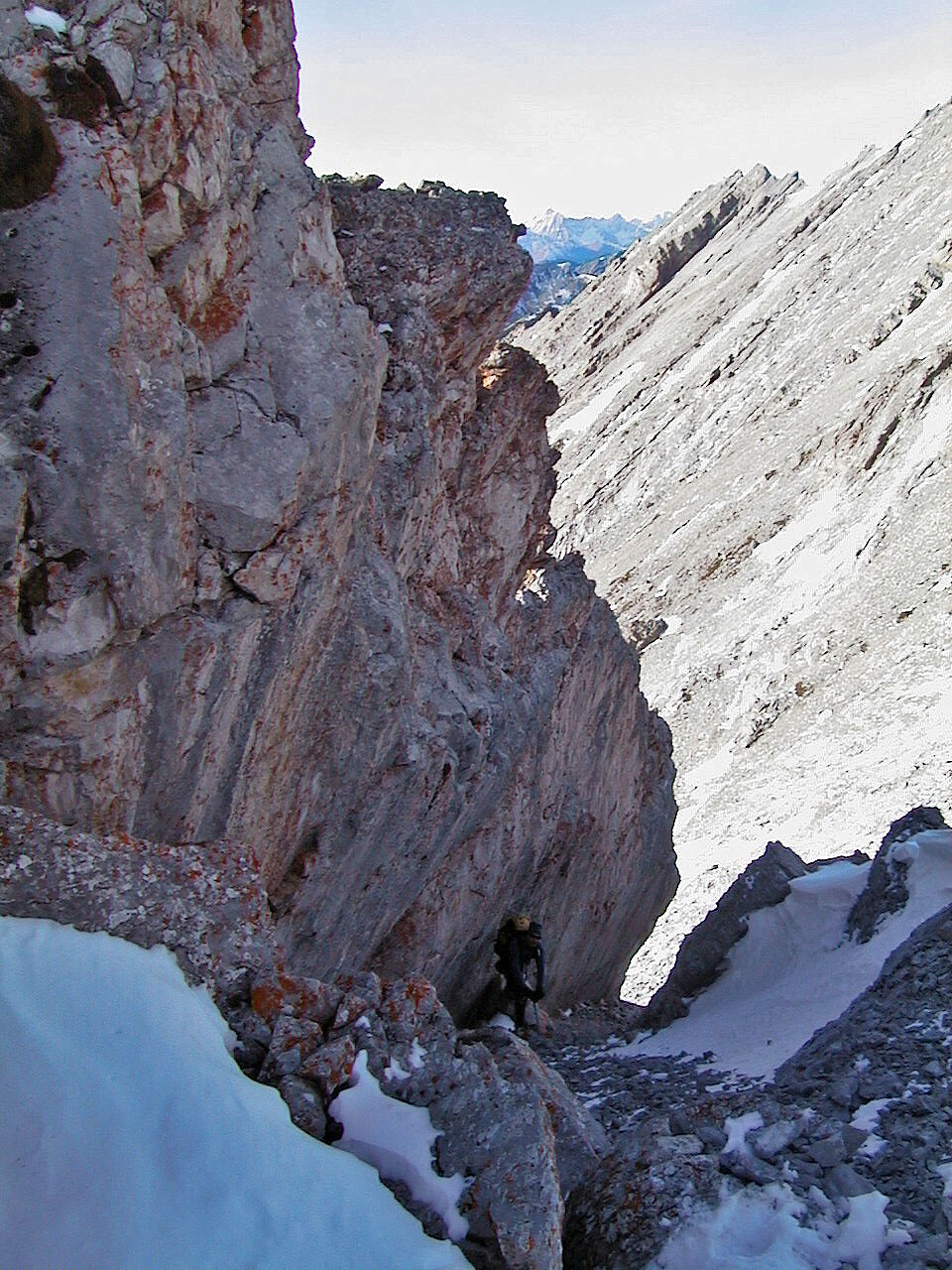
Checking out a chute
Heading back to the rock fin. Gunnery Mountain ahead.
Another look at the rock fin

Back in the woods
82 J/7 Mount Head