bobspirko.ca | Home | Canada Trips | US Trips | Hiking | Snowshoeing | MAP | About
Vision Quest (Hiking Portion)
David Thompson Highway, Alberta
July 21, 2008
Distance: 5.2 km (3.2 mi)
Cumulative Elevation Gain: 736 m (2415 ft)
After spending the weekend in the area and before returning to Calgary, Dinah and I decided on a quick trip up Vision Quest. Following the directions in David Thompson Highway: A Hiking Guide, we parked at the Cline Solid Waste Transfer Site located near Abraham Lake. The steep climb is nothing more than a hike. Although a short trip, the view at the top is worth the effort.
On the way up, we met a Swiss hiker who frequents the area, preferring to vacation here than climb the crowded Swiss Alps. He told us he summited Mount Michener by crossing Abraham Lake in the winter.
After Dinah and I reached the summit of Vision Quest, we considered scrambling up the rock face ahead to a higher point, but on close inspection it appeared to be a difficult, exposed scramble, not to be attempted without a helmet. I climbed partway before turning around (time and track reflects only the hiking portion). After taking in the scenery, we returned the same way.
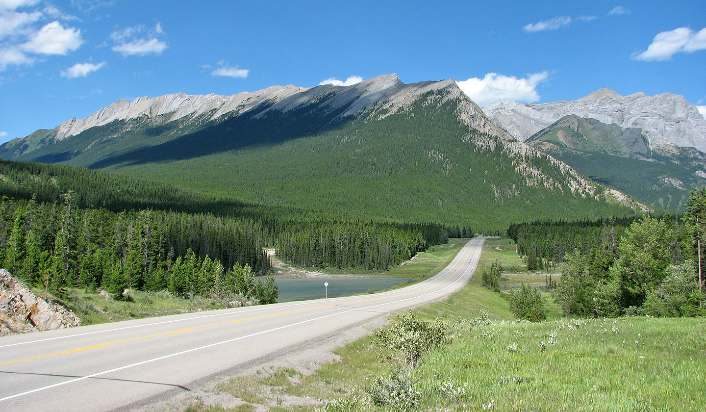
Vision Quest from the highway
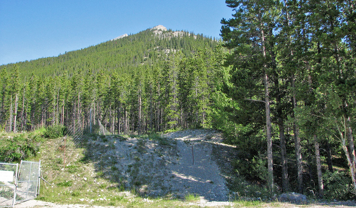
The sign by the trailhead says, "This is not a designated trail. STAY OFF," so we did.
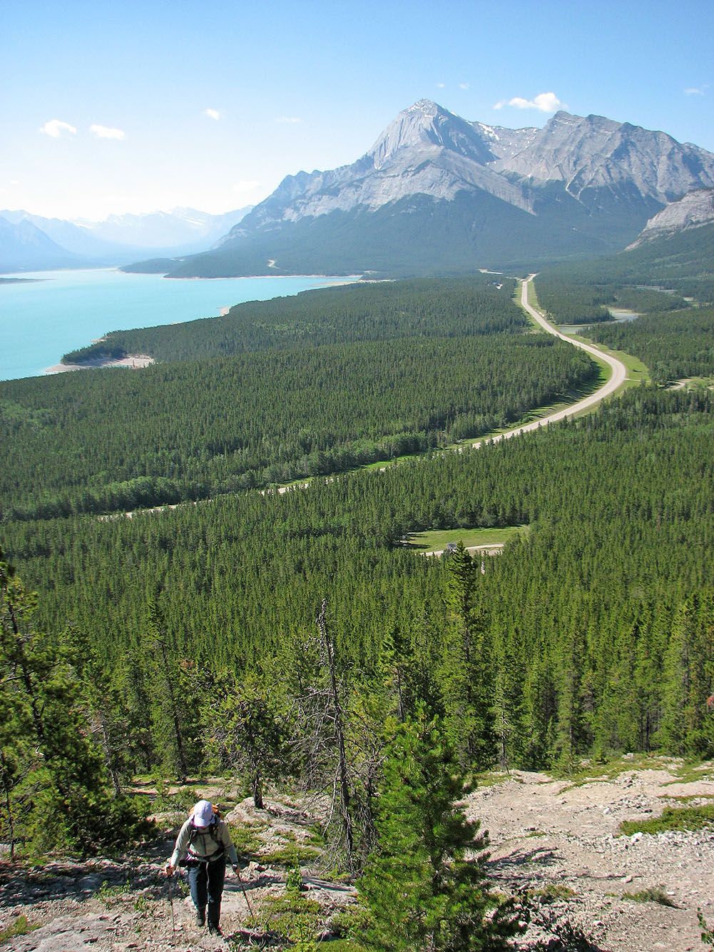
The views soon opened up. Elliot Peak and Sentinel Mountain in the background.
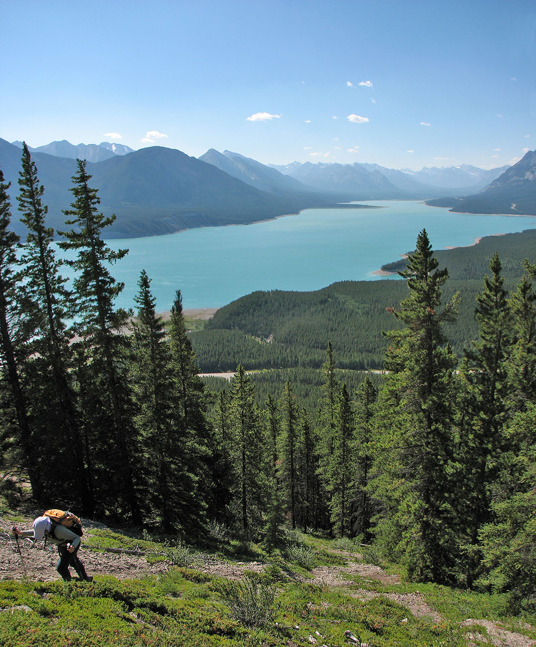
Looking southeast down Abraham Lake
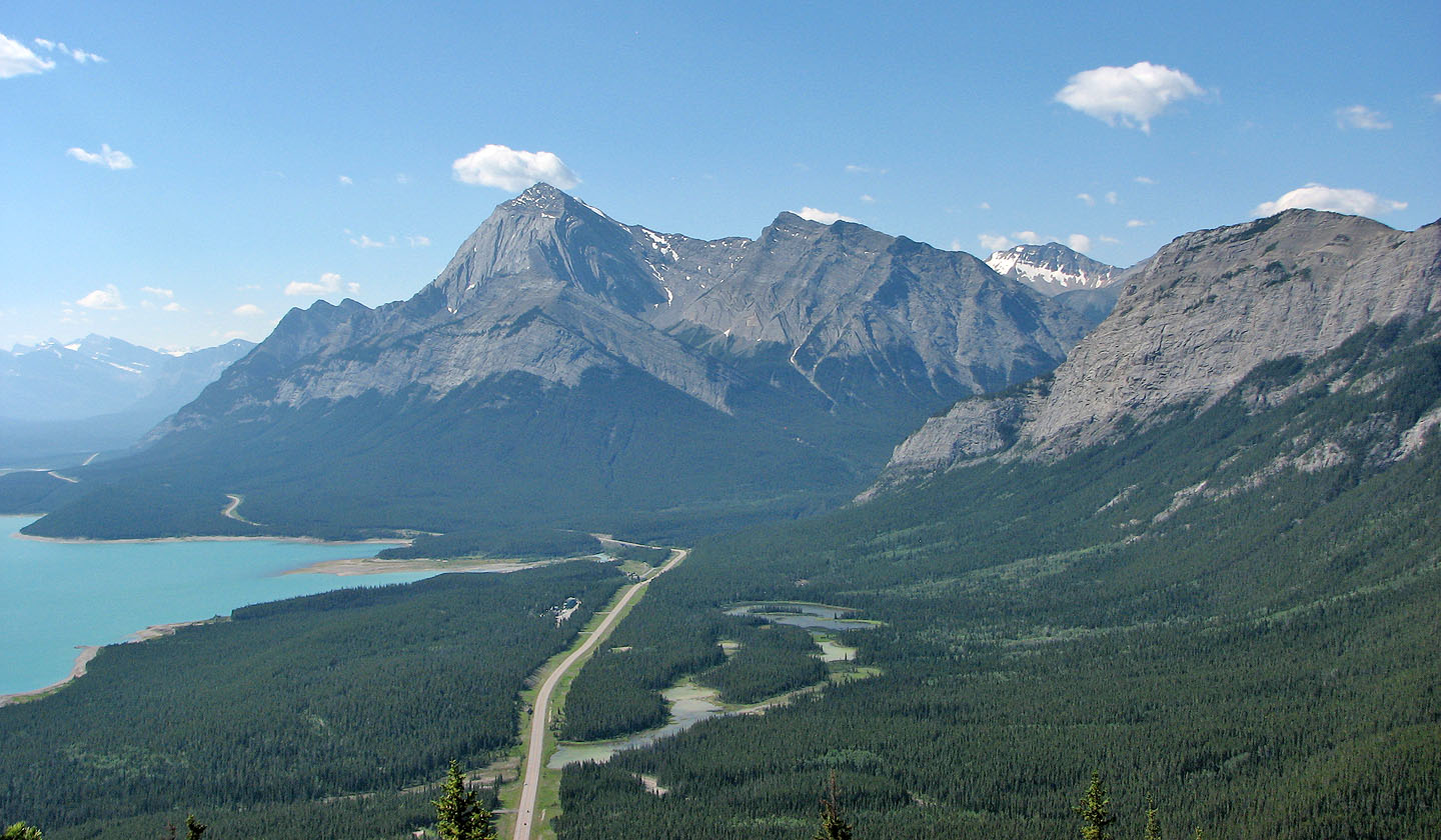
Coral Ridge on the right
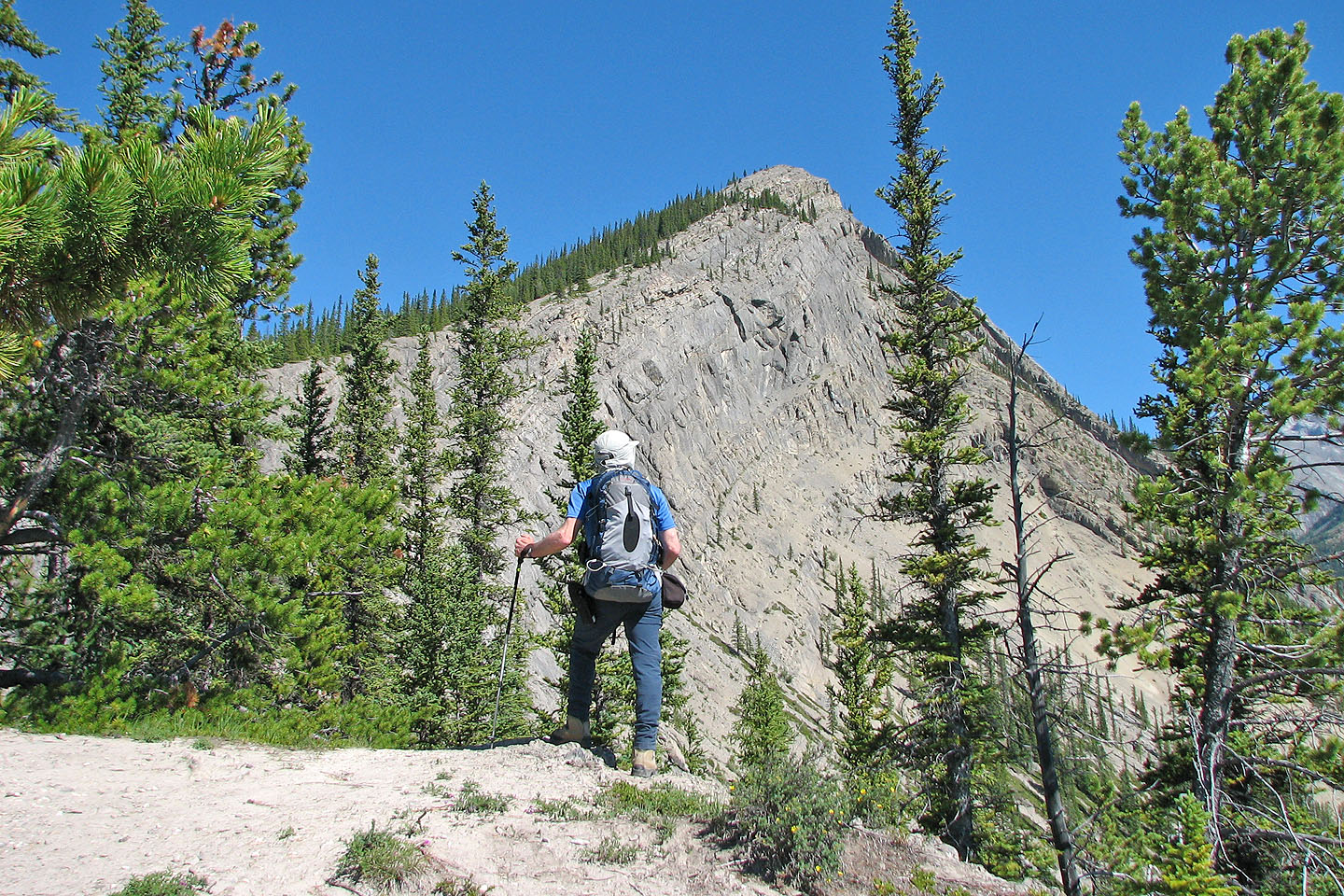
The route climbs steeply before leveling off at the false summit above
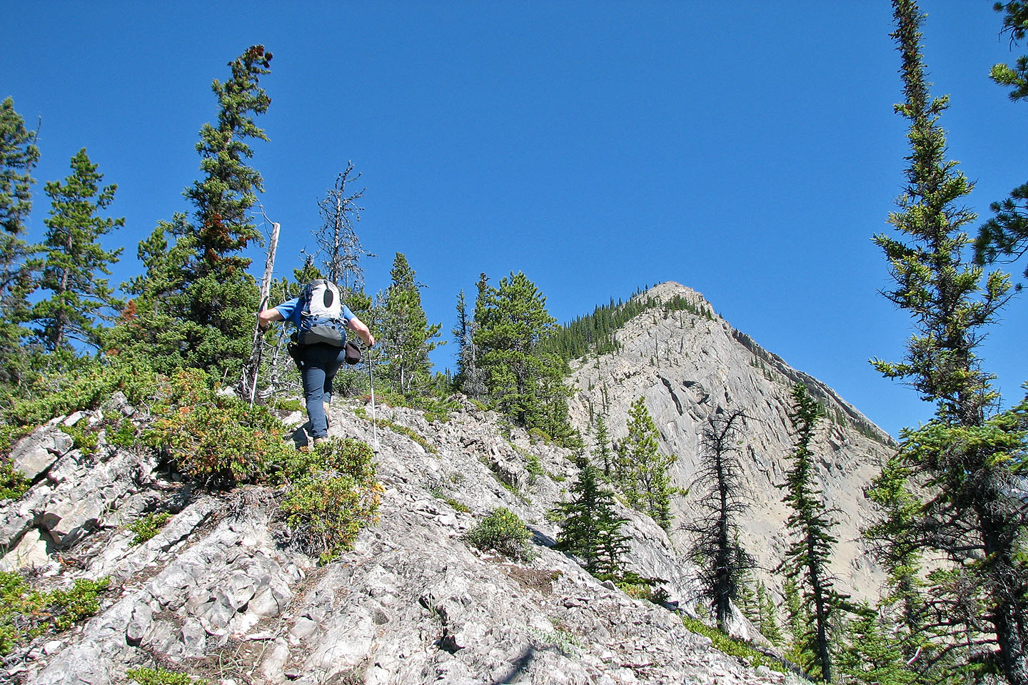
The false summit took longer to reach than we expected
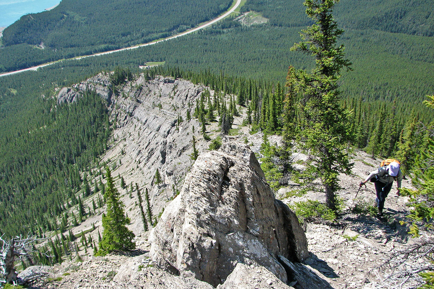
Looking back along the ridge
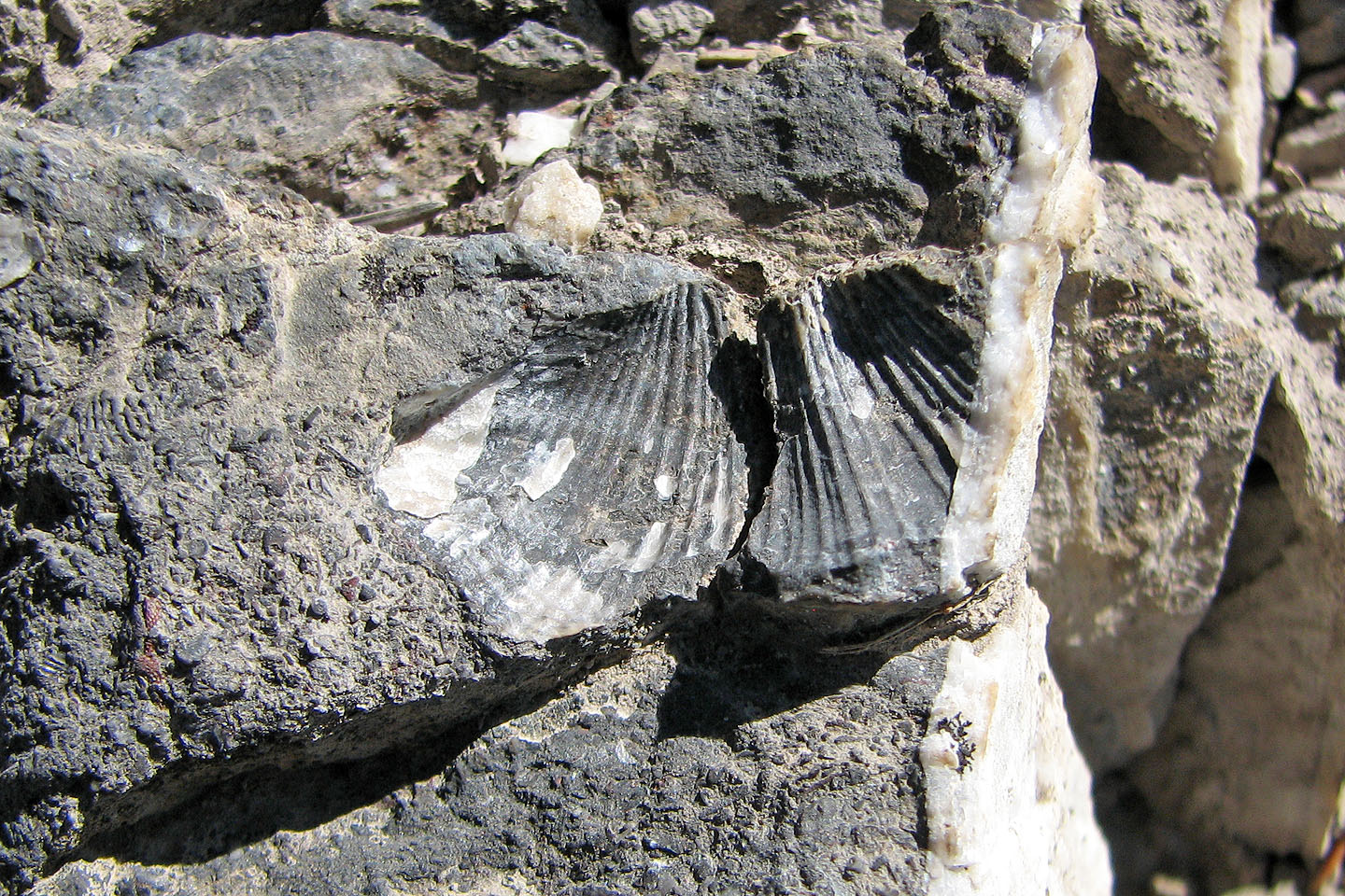
Fossilized brachiopod
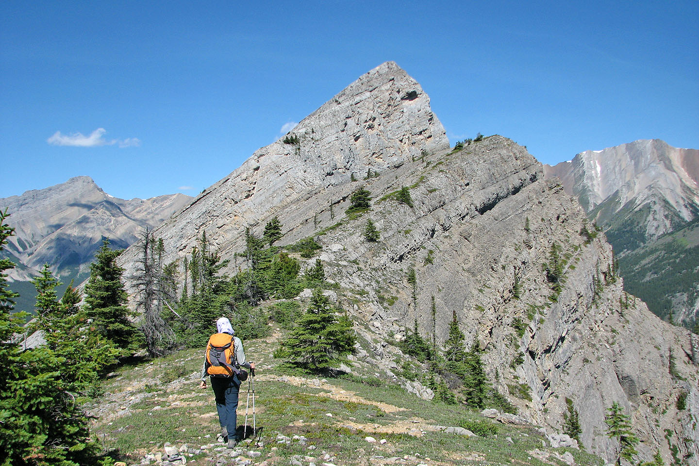
The lower point directly ahead is the summit of Vision Quest
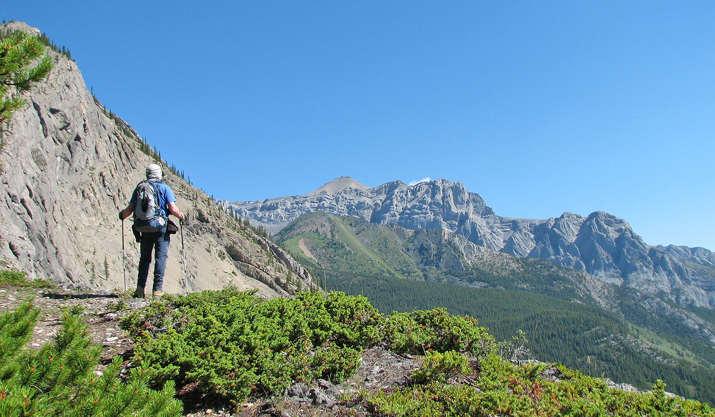
Mount Abraham to the north (mouse over for a close up). The easiest way up this peak is on
the SE side,
via "The Neverending Gully of Pain."
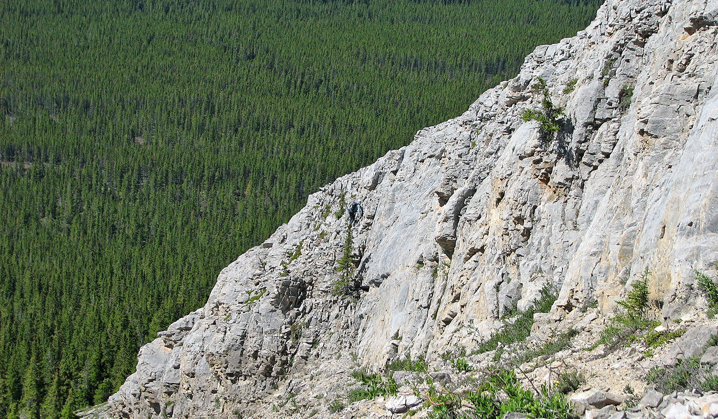
I started up the rock face before turning around. I'm in the centre (mouse over).
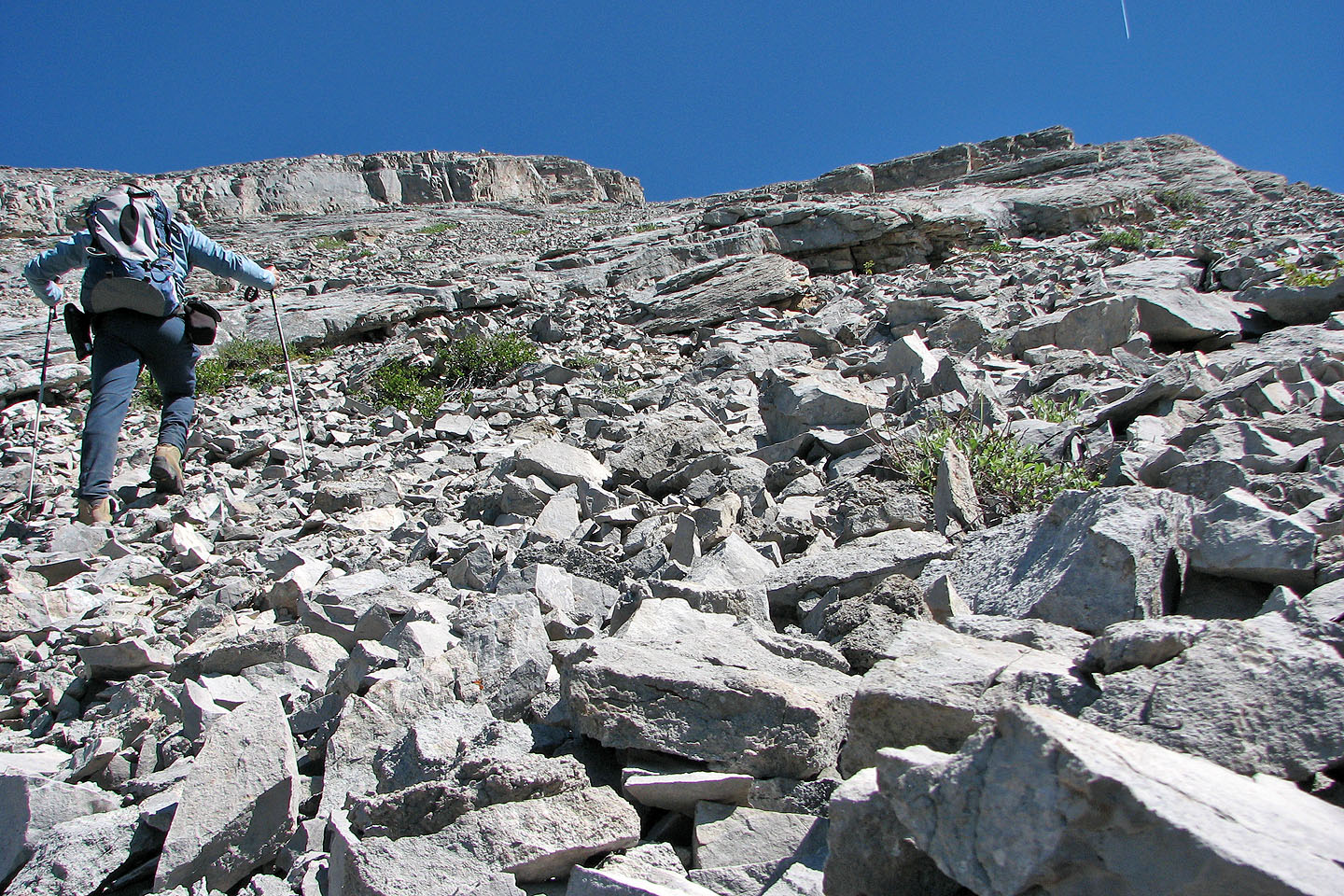
I gained the lower ridge but didn't want to continue
without a helmet
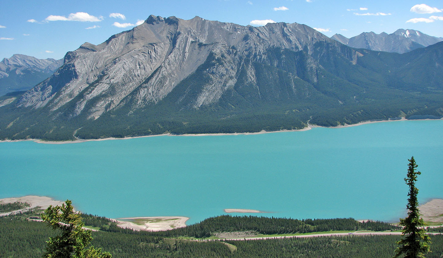
Mount Michener
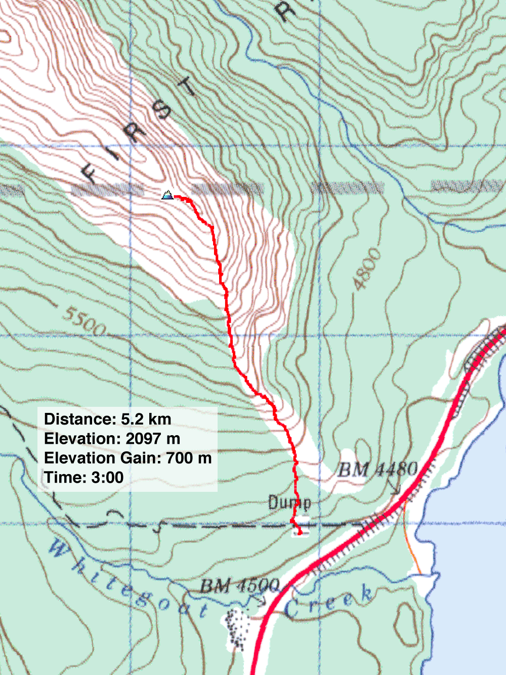
83 C/1 White Rabbit
