bobspirko.ca | Home | Canada Trips | US Trips | Hiking | Snowshoeing | MAP | About
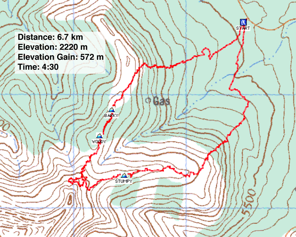
Drywood Mountain Northeast End We had planned to ascend Drywood Mountain from the South Drywood Creek road, but our plans went awry when we came to a gated road. Since starting from the gate would add 4-5 km to the approach, we decided not to try it. Later we checked a brochure/map and learned that the road is under a seasonal closure: September 1 to June 15. We were a week early. Instead, we explored the NE ridges of Drywood Mountain. We thought, rather whimsically, we could find a way up, but we had no such luck. We parked at another gate (155629) and did a loop along a couple of ridges. It never occurred to me to name our ascent, but !2 years later, Dave McMurray did the same loop as us and called the high points we climbed, Barky, Woody and Stumpy. The colourful loop is worth considering. We returned two weeks and climbed Drywood Mountain. |
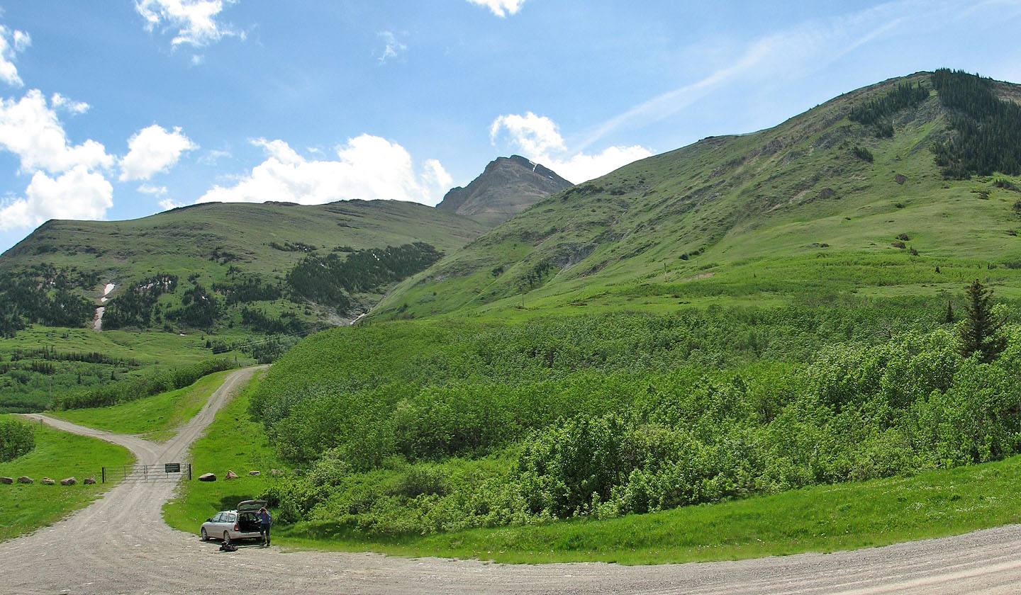
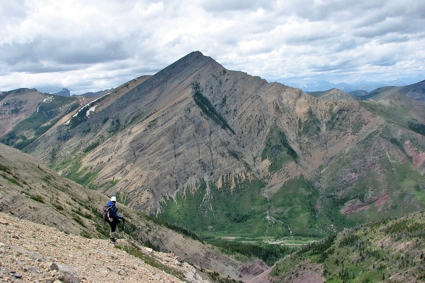
We ascended the ridge on the right, hiked to the base of cliffs in the centre
and came down the
ridge on the left
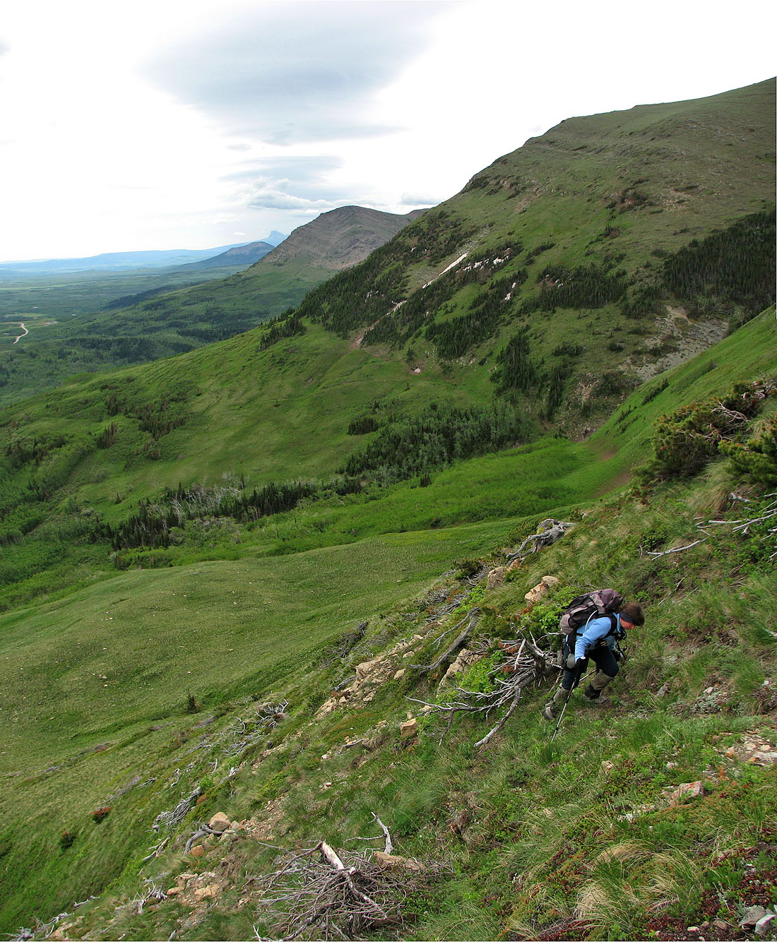
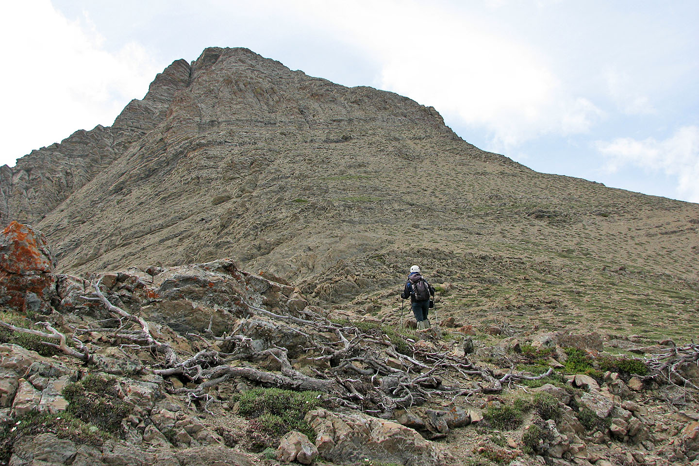
The ascent was steeper than we expected
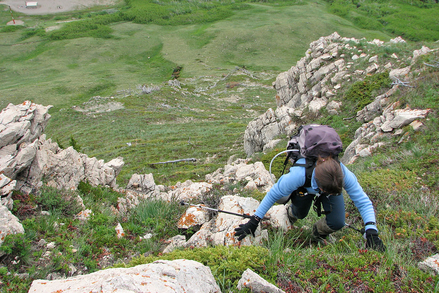
Some scrambling to get above the rock band
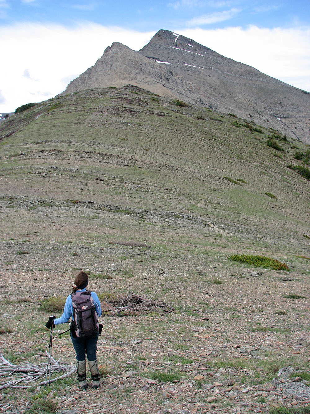
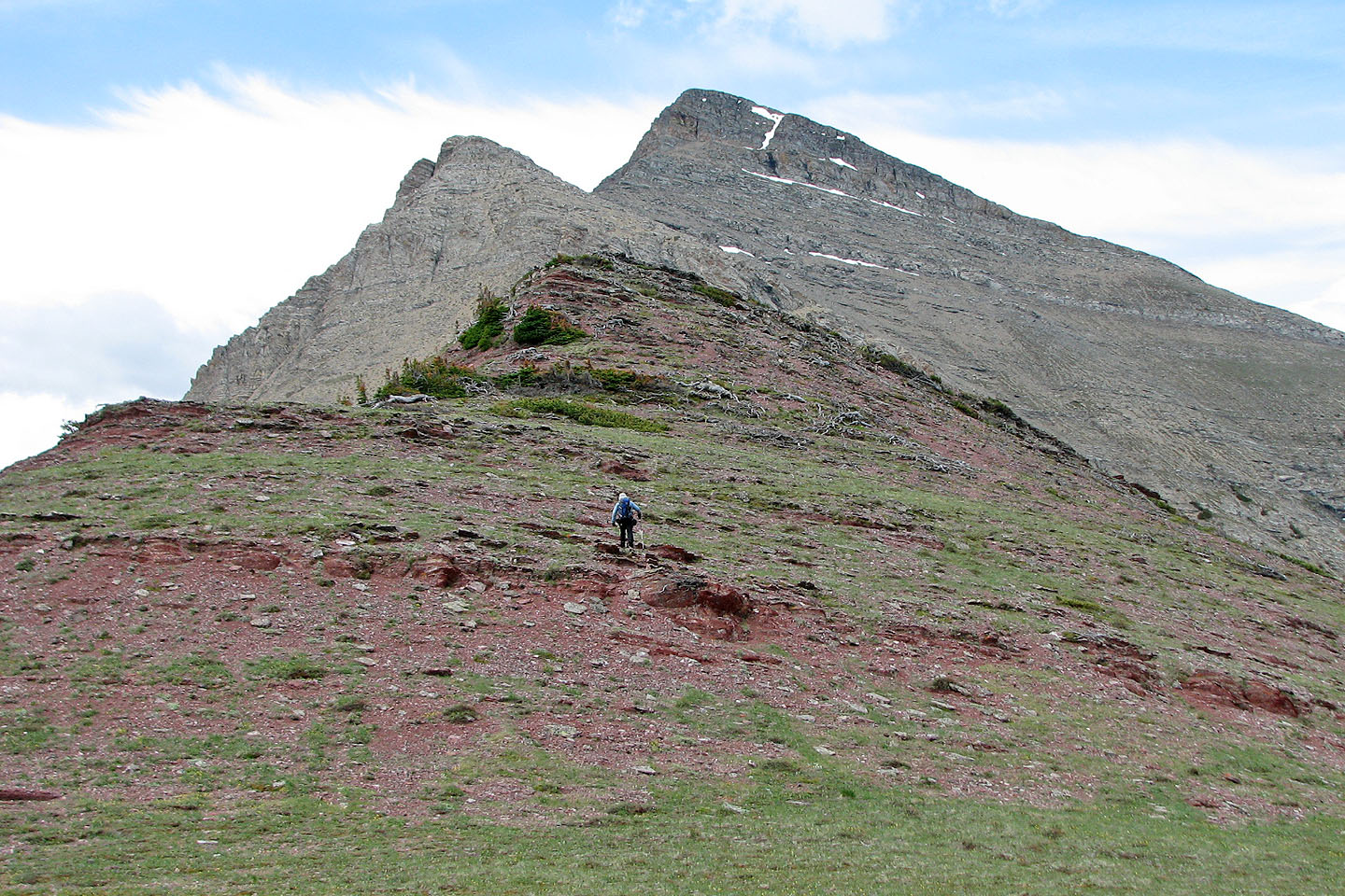
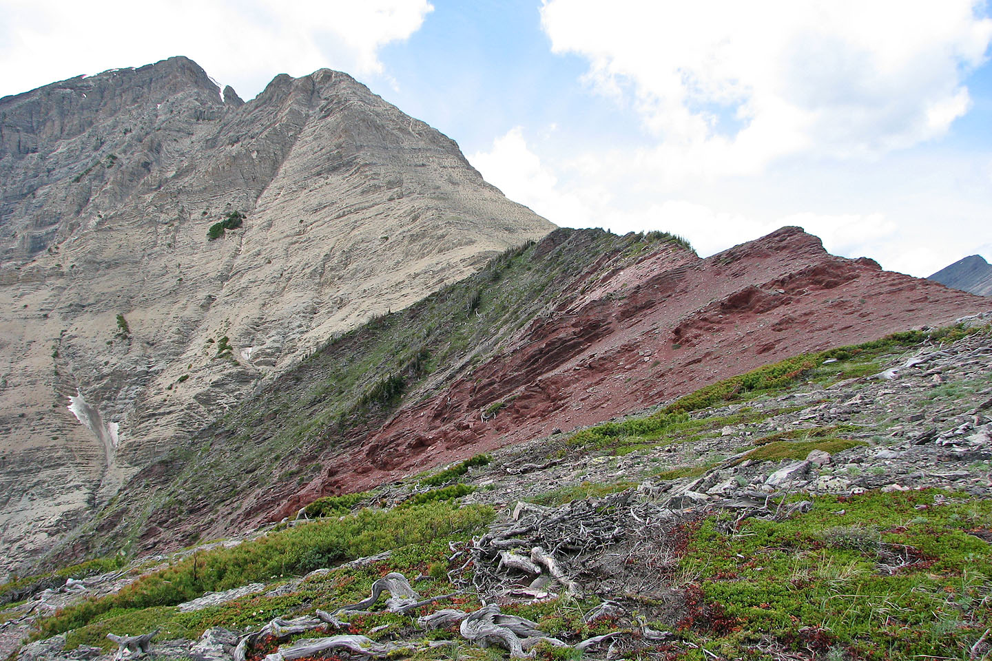
The true summit of Drywood Mountain is hidden behind these false summits
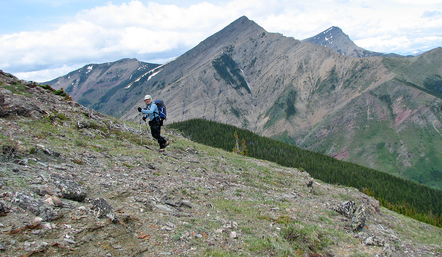
To the north is Pincher Ridge and Victoria Peak
Coming up to Barky
Woody ahead
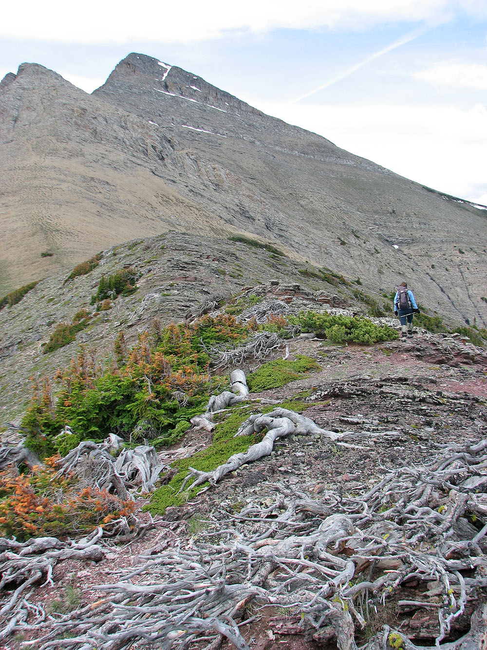
Impressive krummholz on the ridge
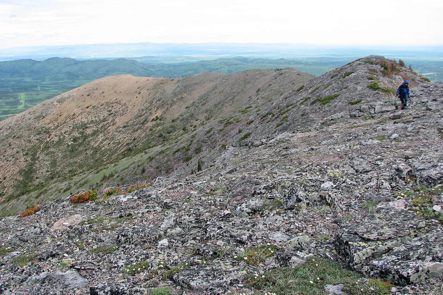
Looking back along the ridge
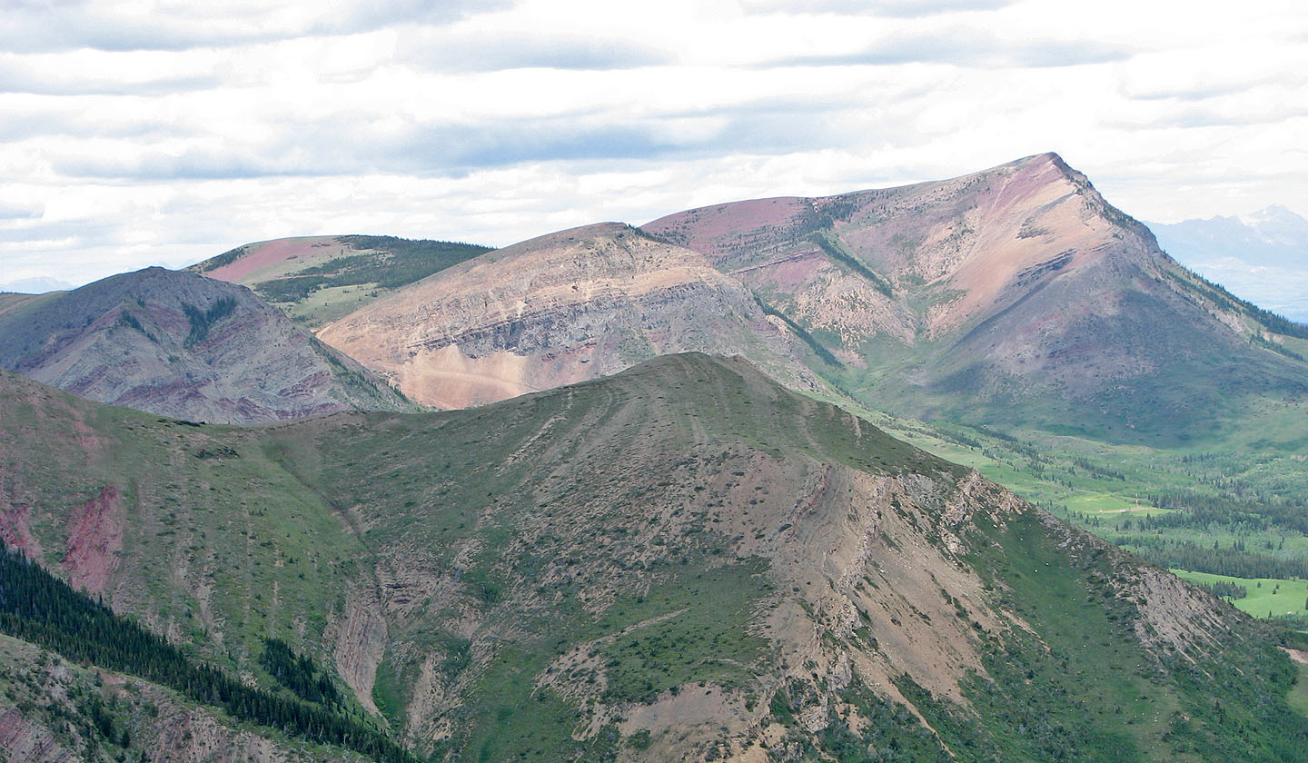
Colourful Prairie Bluff
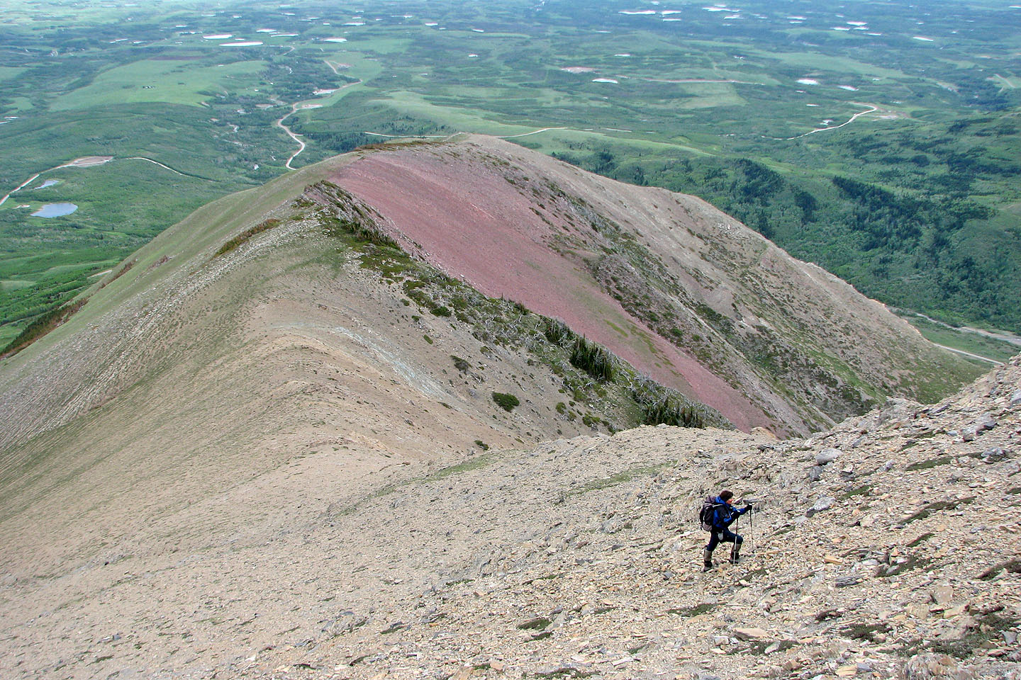
Looking back at the ridge we ascended
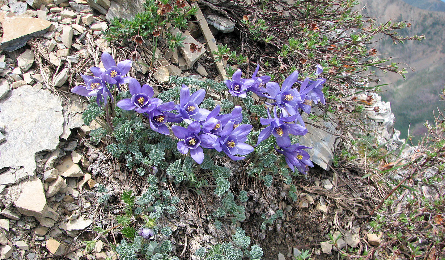
Blue Columbine
Pincher Ridge
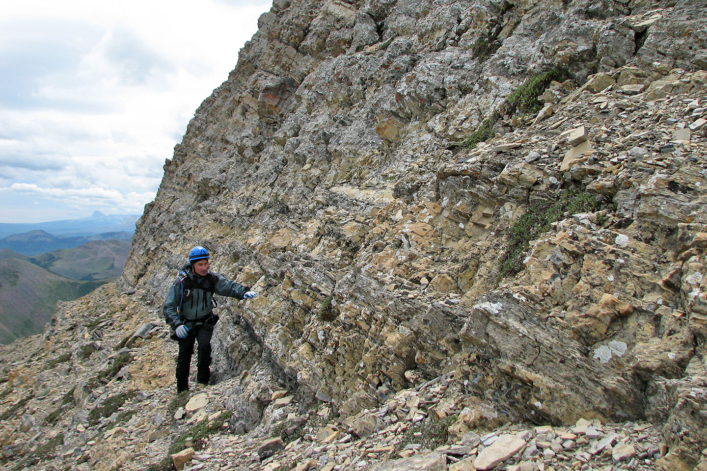
At the base of the cliffs
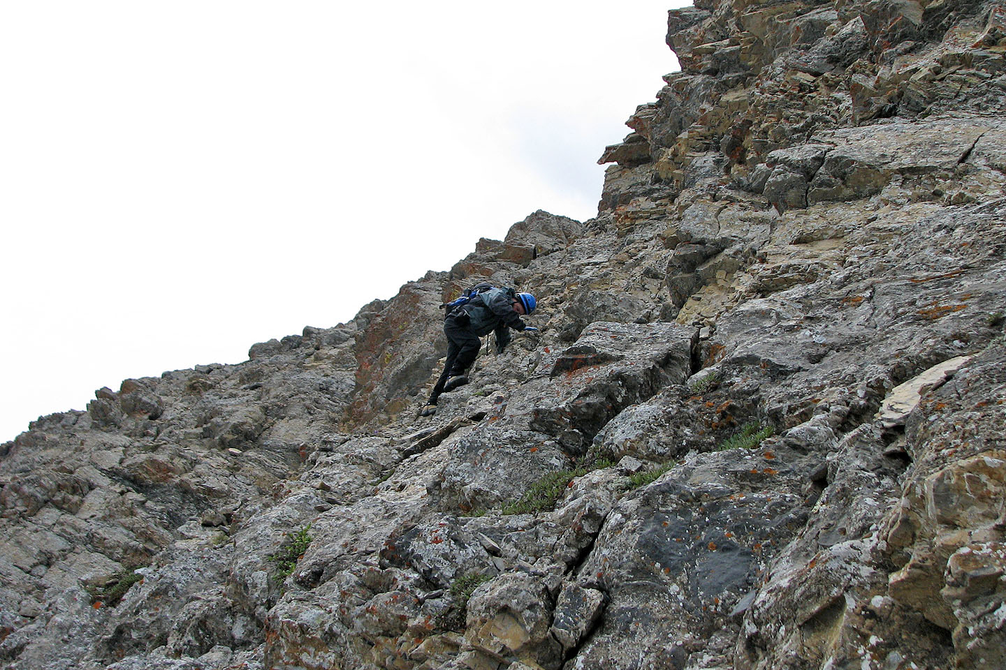
I scrambled up a short ways before turning back
Looking back as we descended to the second ridge
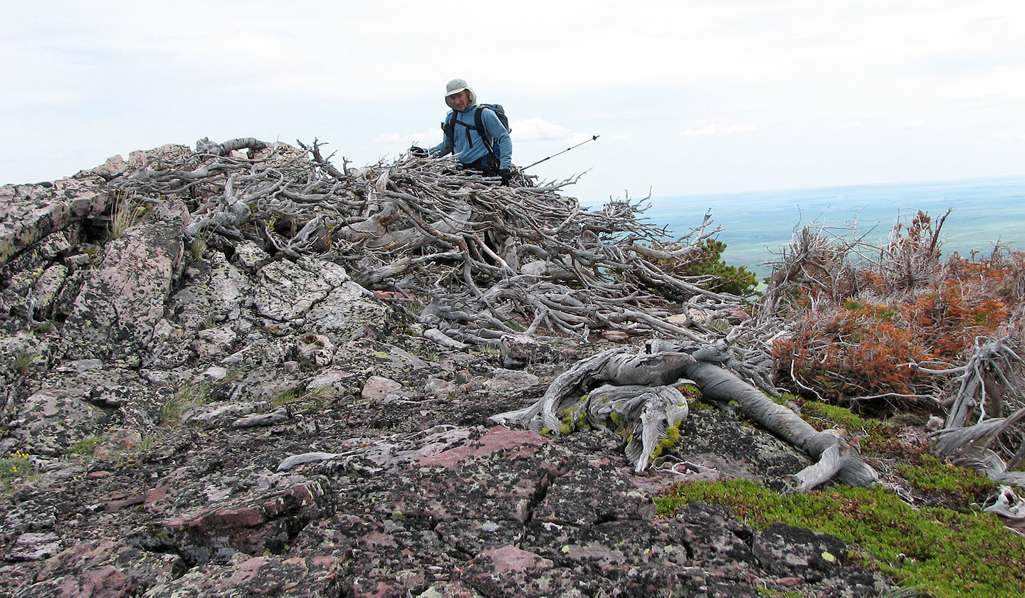
Looking back at Stumpy
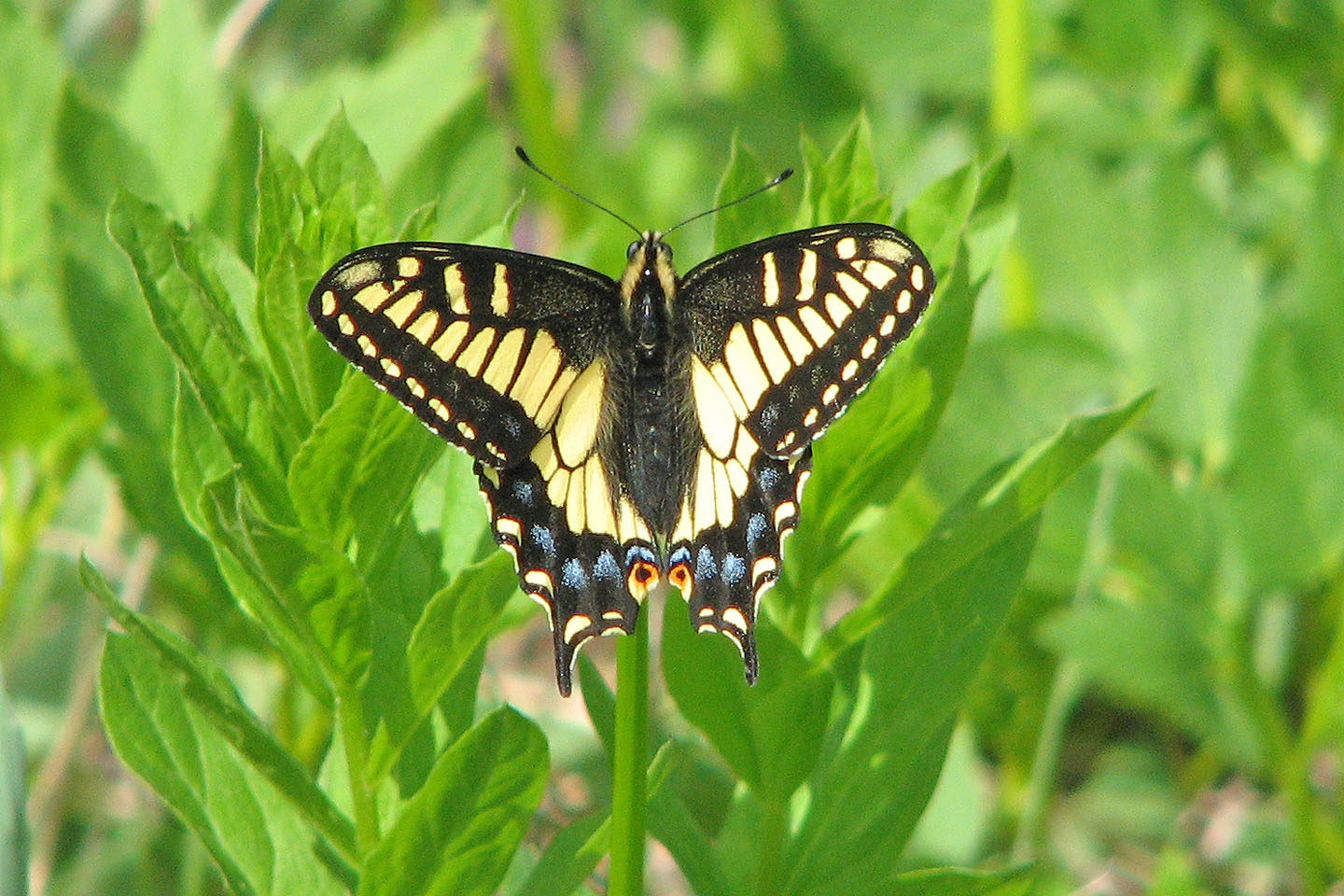
One of several swallowtails we saw flitting from flower to flower
82 G/8 Beaver Mine