bobspirko.ca | Home | Canada Trips | US Trips | Hiking | Snowshoeing | MAP | About

Burns East Ridge (Attempt)
Kananaskis, Alberta
May 30, 2004
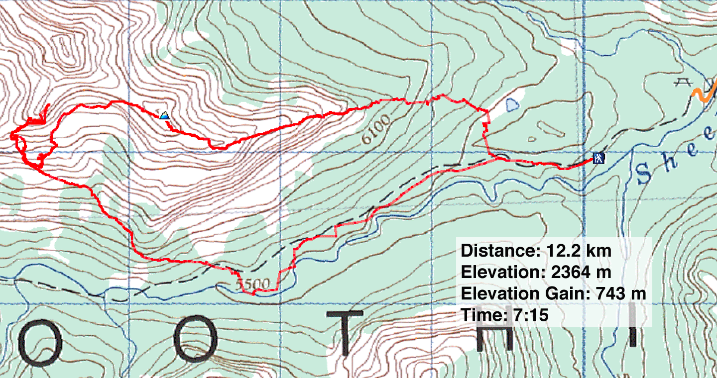
Distance: 12.2 km
Cumulative Elevation Gain: 1027 m
After a fun scrambling ascent up through the pinnacles on the south slope of the East Ridge of Mount Burns in 2001, Dinah and I wanted to return to try a different route to see if we could climb higher. This time we traversed the east ridge.
After hiking to a high point on the ridge, we were stopped by cliffs and explored no further. After crossing a basin, we dropped down 200 m to get around the cliff bands. We climbed as far as we could before stopping on a narrow, exposed ridge. To return to our car, we dropped down the south slopes to the Sheep River trail and followed it back.
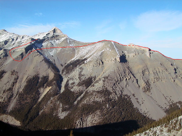
Our route
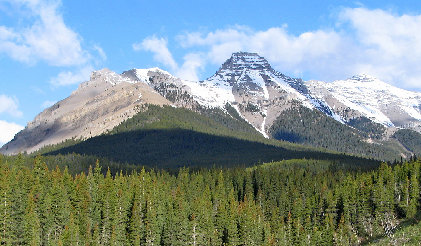
The east ridge
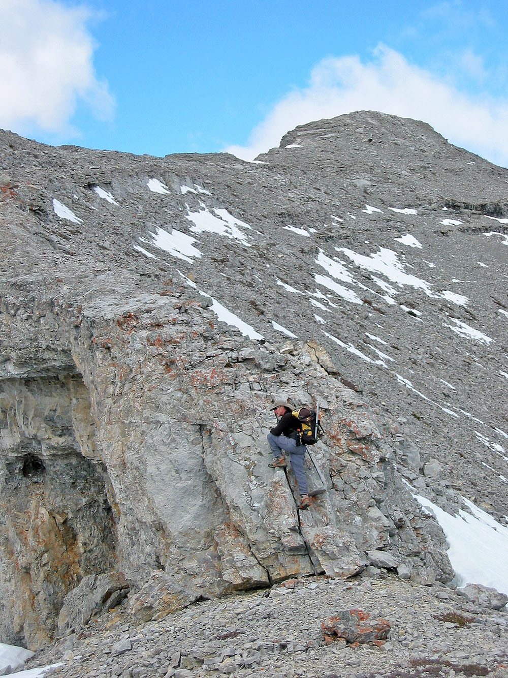
Jacob's ladder
Hiking up the ridge
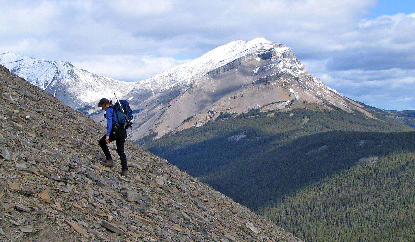
Mount Hoffman on the right
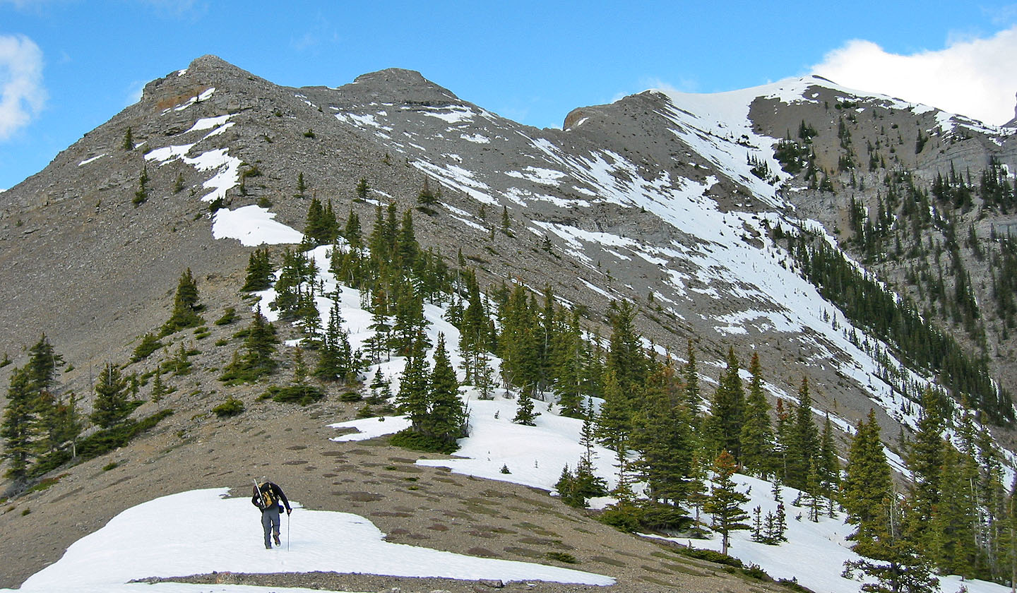
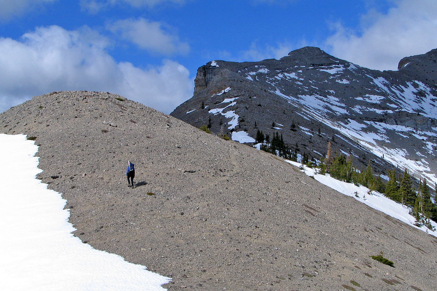
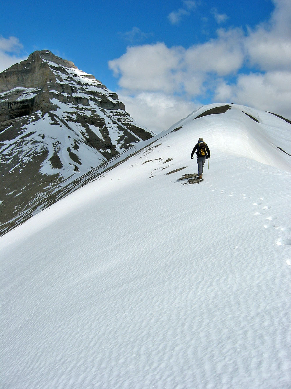
We followed the ridge
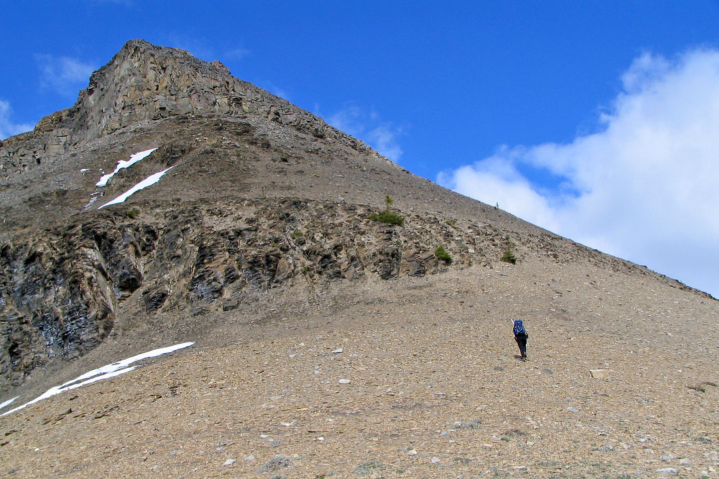
We soon got above the treeline
On the ridge
The ridge was a hike except for this short, easy scramble
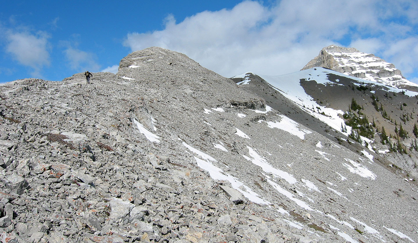
Continuing along the ridge
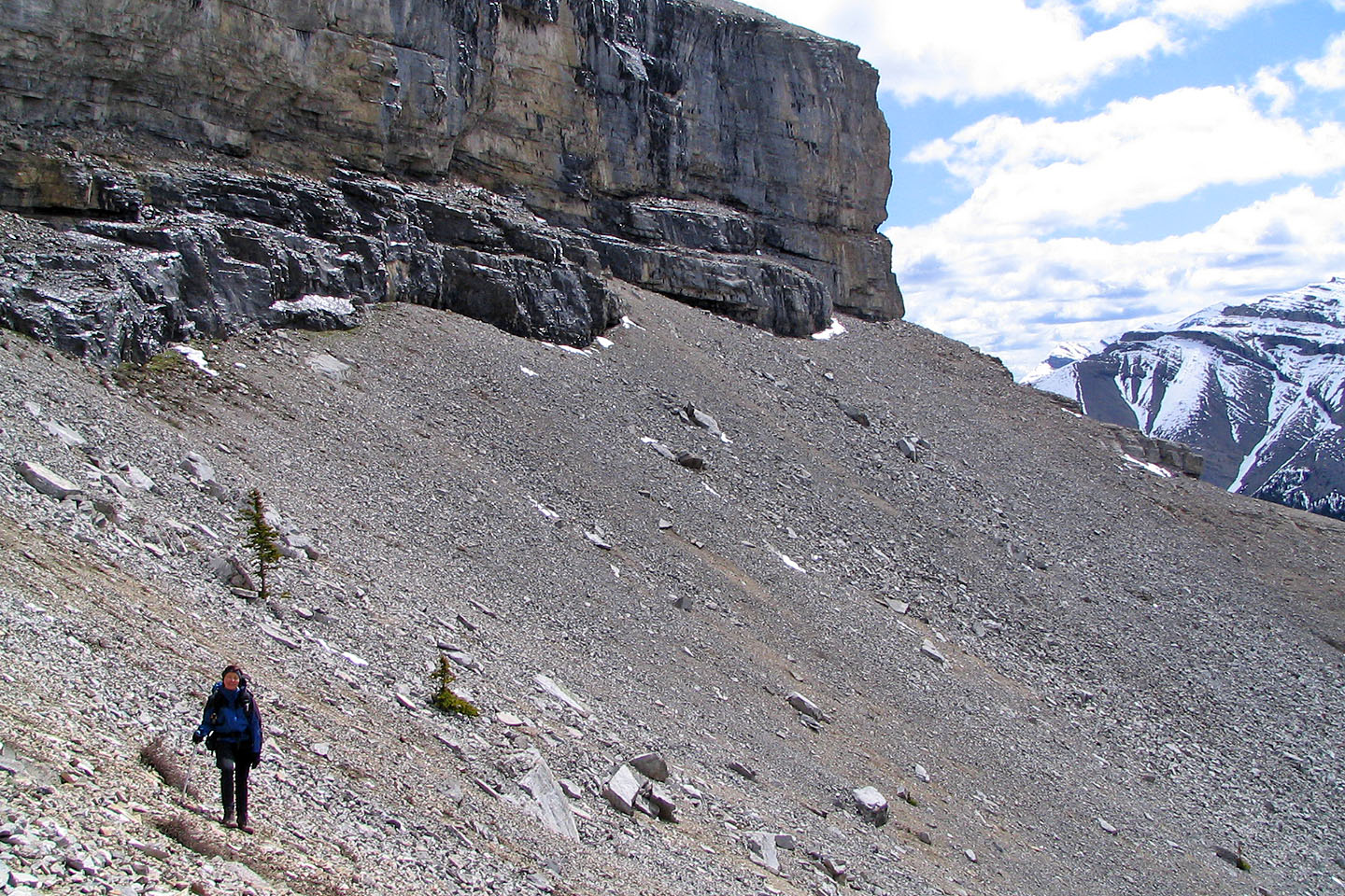
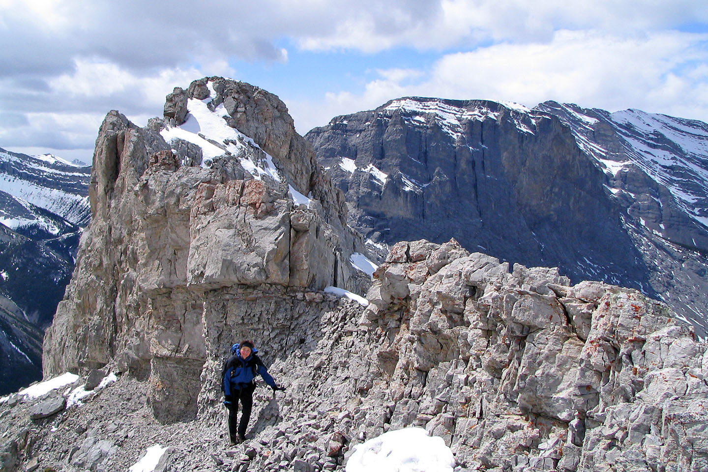
We traversed below a high point
After this high point we dropped down on the left side to get below a cliff band
Crossing the basin below the cliff band
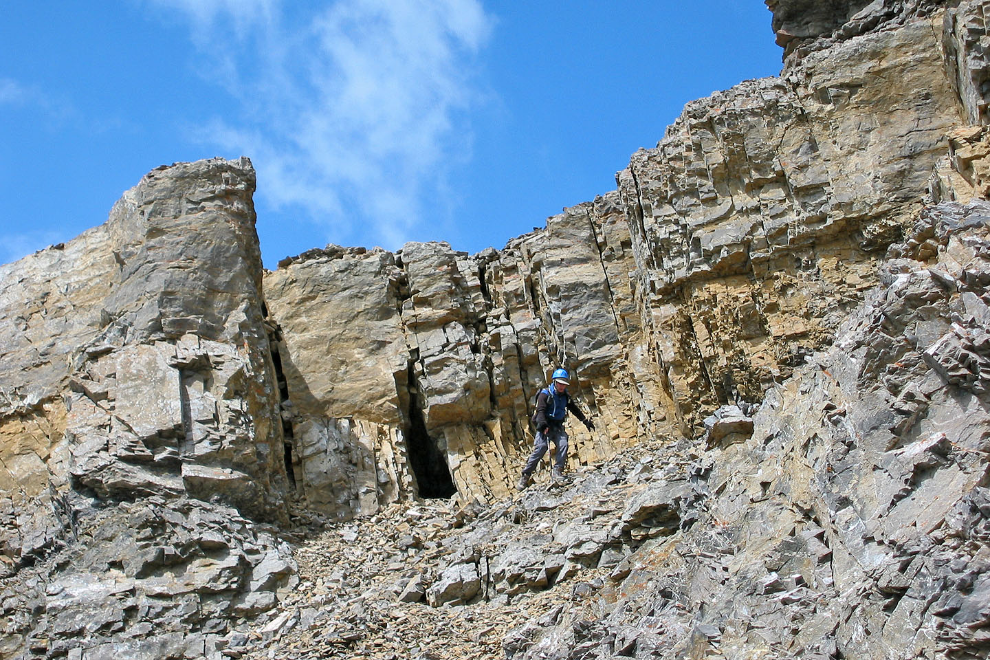
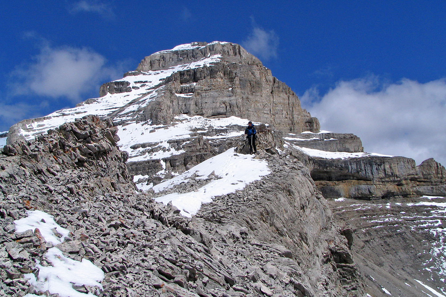
Looking for a weakness to regain the ridge
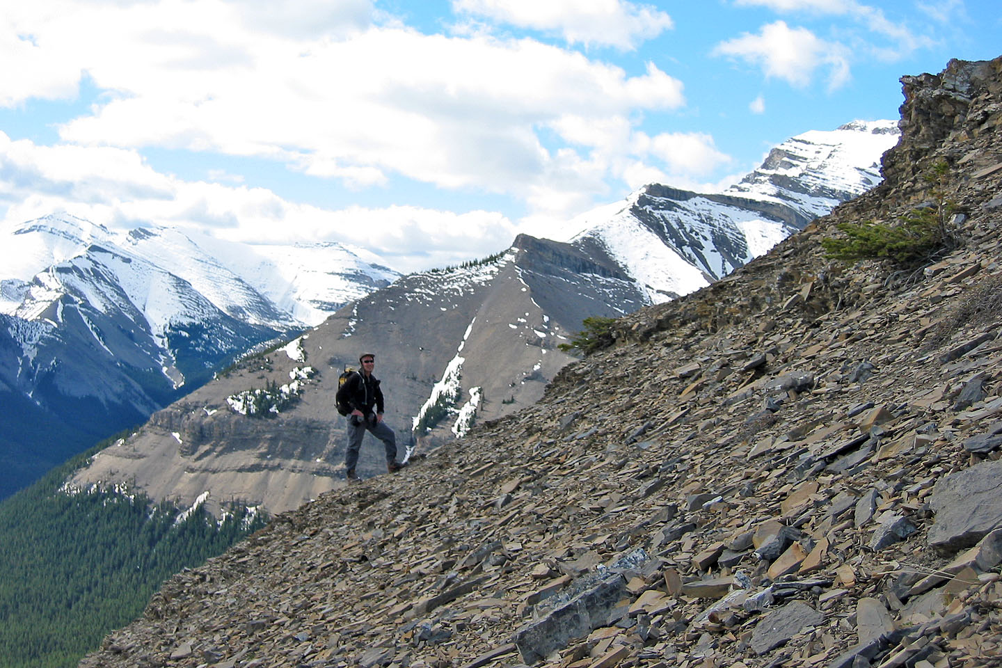
On the ridge: we'll go to the right of the rock buttress
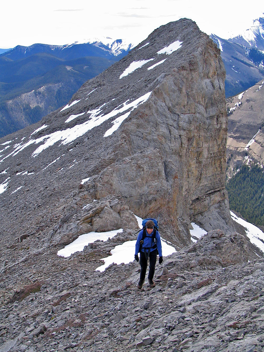
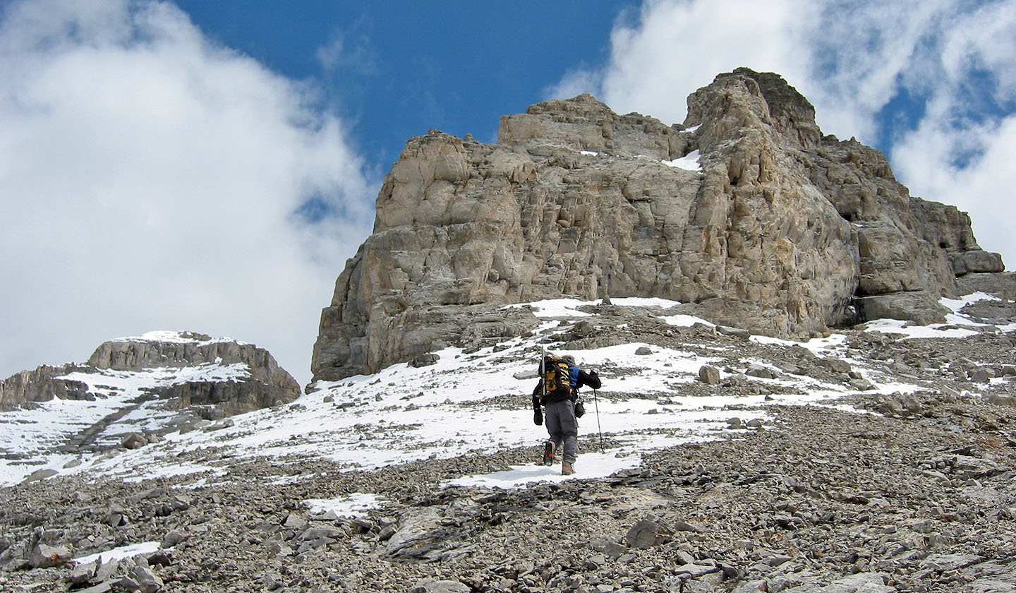
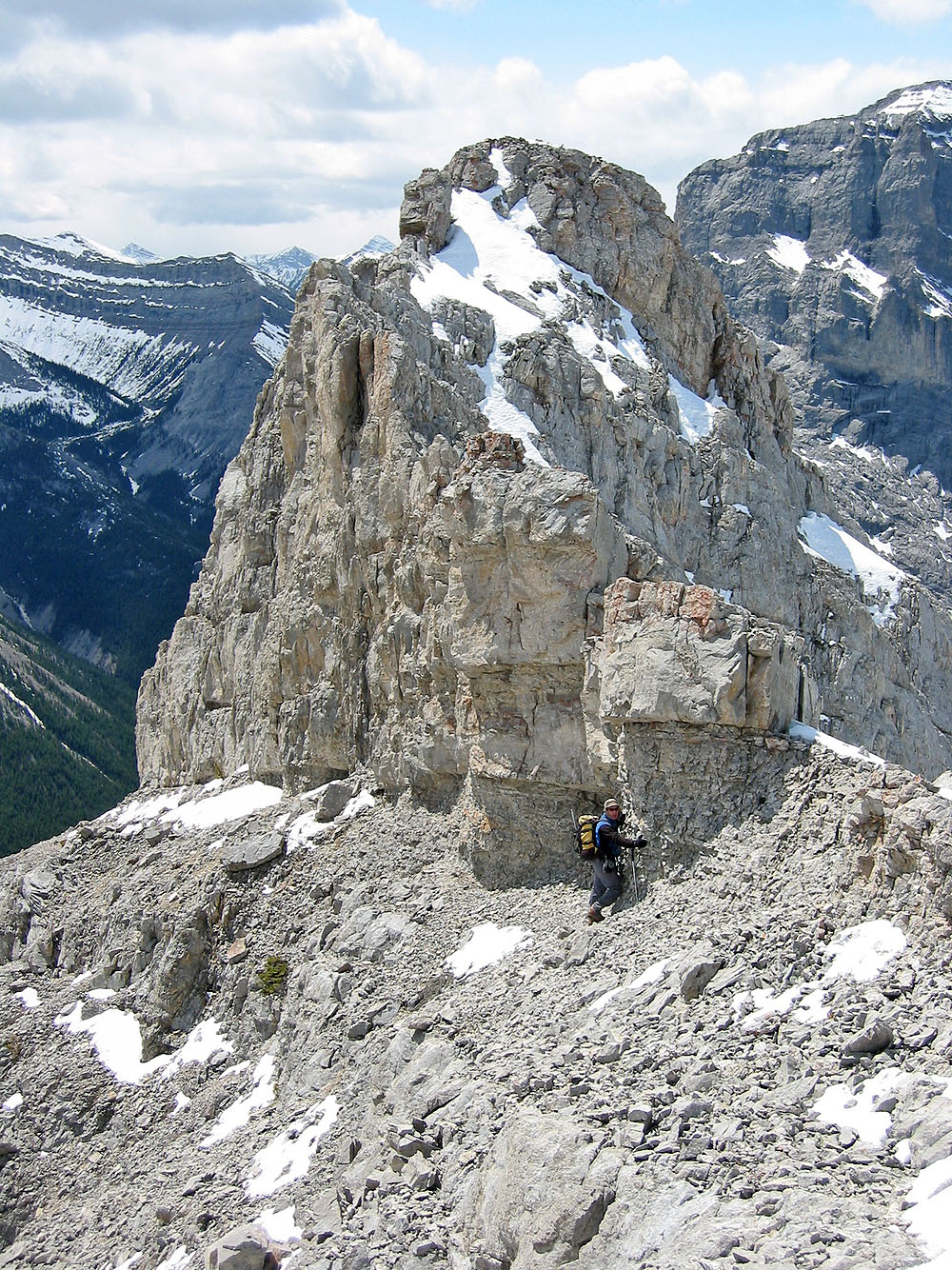
Nearing the end of the line
As far as we got
Heading back
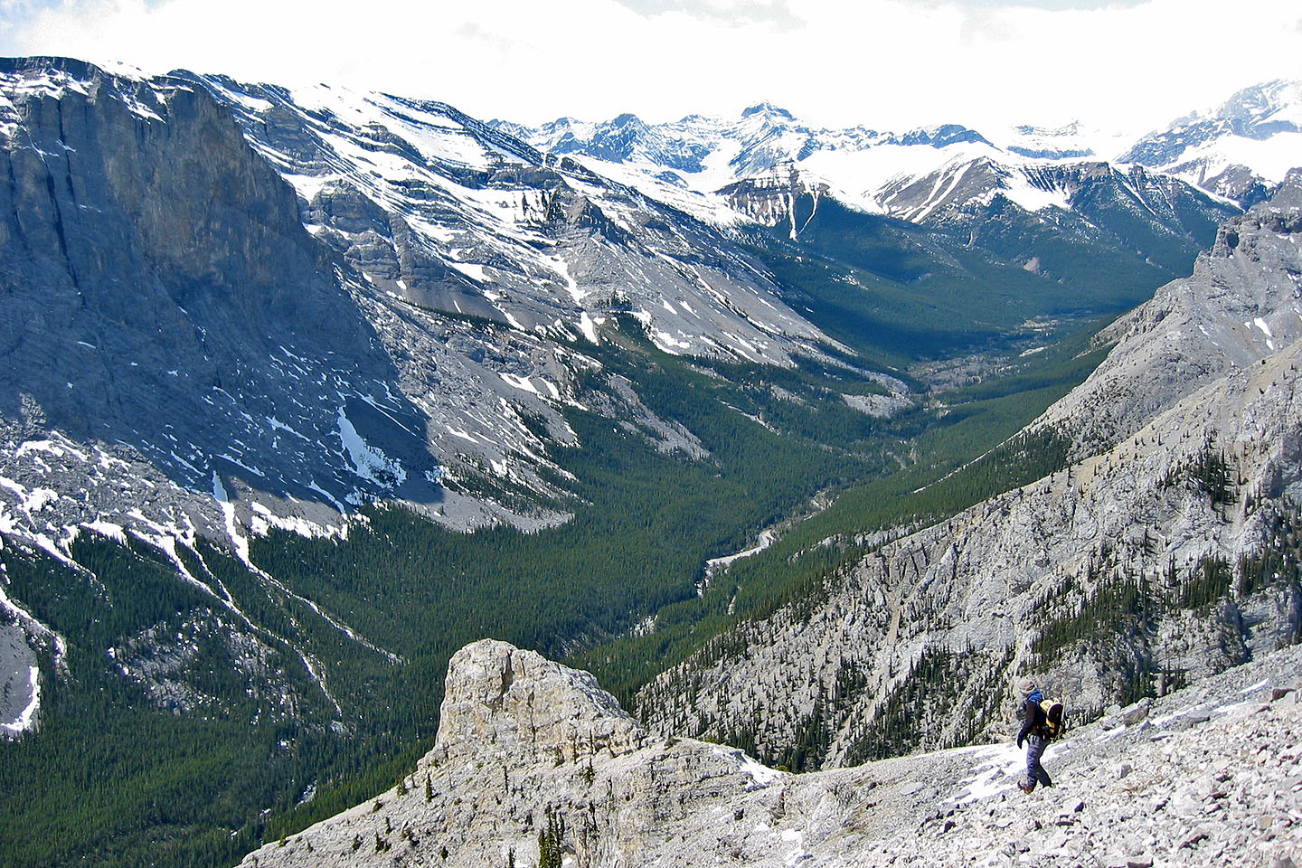
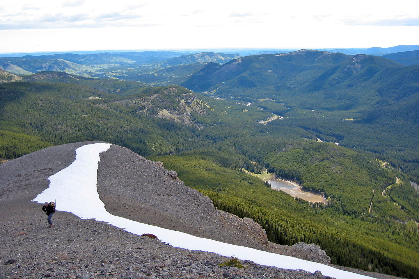
Looking south across the Sheep River Valley
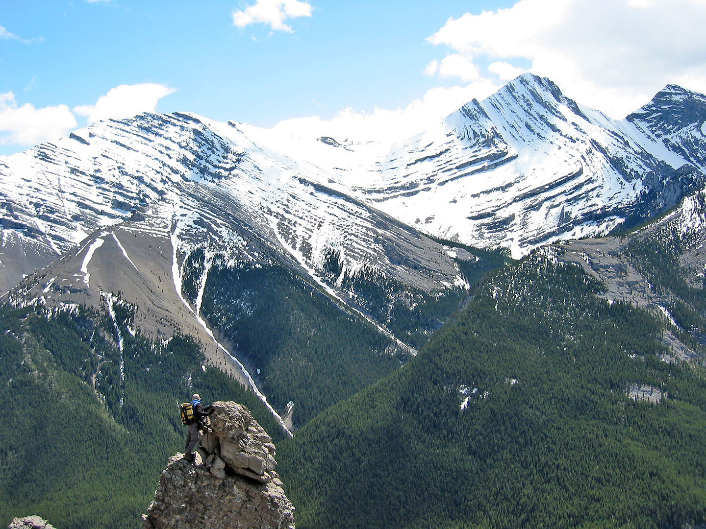
I climbed a pinnacle
82 J/10 Mount Rae