bobspirko.ca | Home | Canada Trips | US Trips | Hiking | Snowshoeing | MAP | About

Cockscomb Mountain (attempt)
Banff National Park, Alberta
November 12, 2004
Cockscomb Mountain presents a fierce face to the highway, but Dinah and I found a benign ascent route – at least to as far as we got.
We discovered the route by chance. We were attempting another peak in the area. When we realized we would run out of daylight, we ascended a nearby ridge. This turned out to be the ridge that leads to Cockscomb Mountain.
We parked at a pullout about 300 m west of the Sawback Picnic area on HWY 1A (in retrospect, it's probably better to start at the picnic area). Once we were ready to set off, a bull elk appeared and headed towards us down the highway. At first we thought of jumping back into the car, but the animal seemed intent on walking down the highway so we headed in the trees.
After bushwhacking for over a kilometre north we hit a burned-out area where we picked up a crude trail that follows the left bank of Ranger Creek. I thought it was an animal trail, but at one point a boardwalk and ladder assisted us over a tricky spot!
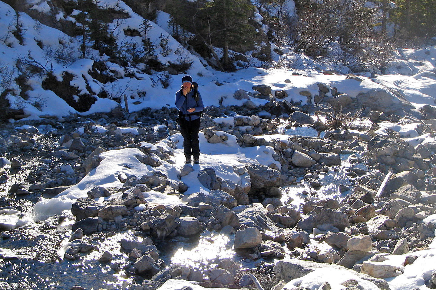
The trail lasts for 2 kilometres before it ended, and we were forced to cross and recross the creek at a confluence. We entered a small canyon displaying a small but beautiful waterfall emerging from the canyon wall. Now without a trail, travelling along the creek became more arduous. When the bald ridge that leads to the summit of Cockscomb Mountain appeared, we continued up the creek to the toe of the ridge where we noticed a narrow avalanche gully. After hiking up the creek for two hours, we left it and ascended the avalanche chute. Following it, we eventually emerged on a broad slope. We hiked up the ridge to a shoulder where unfortunately we had to turn around because of the limited daylight.
From the shoulder it appeared to be an easy scramble to the false summit. Barring a knife-edge or hidden cruxes, it should be easy to reach the true summit.
Postscript: I returned to summit Cockscomb in 2006.
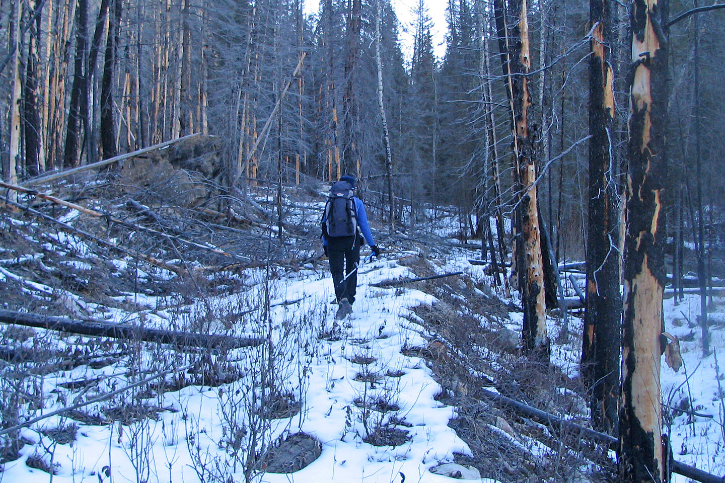
There was no trail to start with
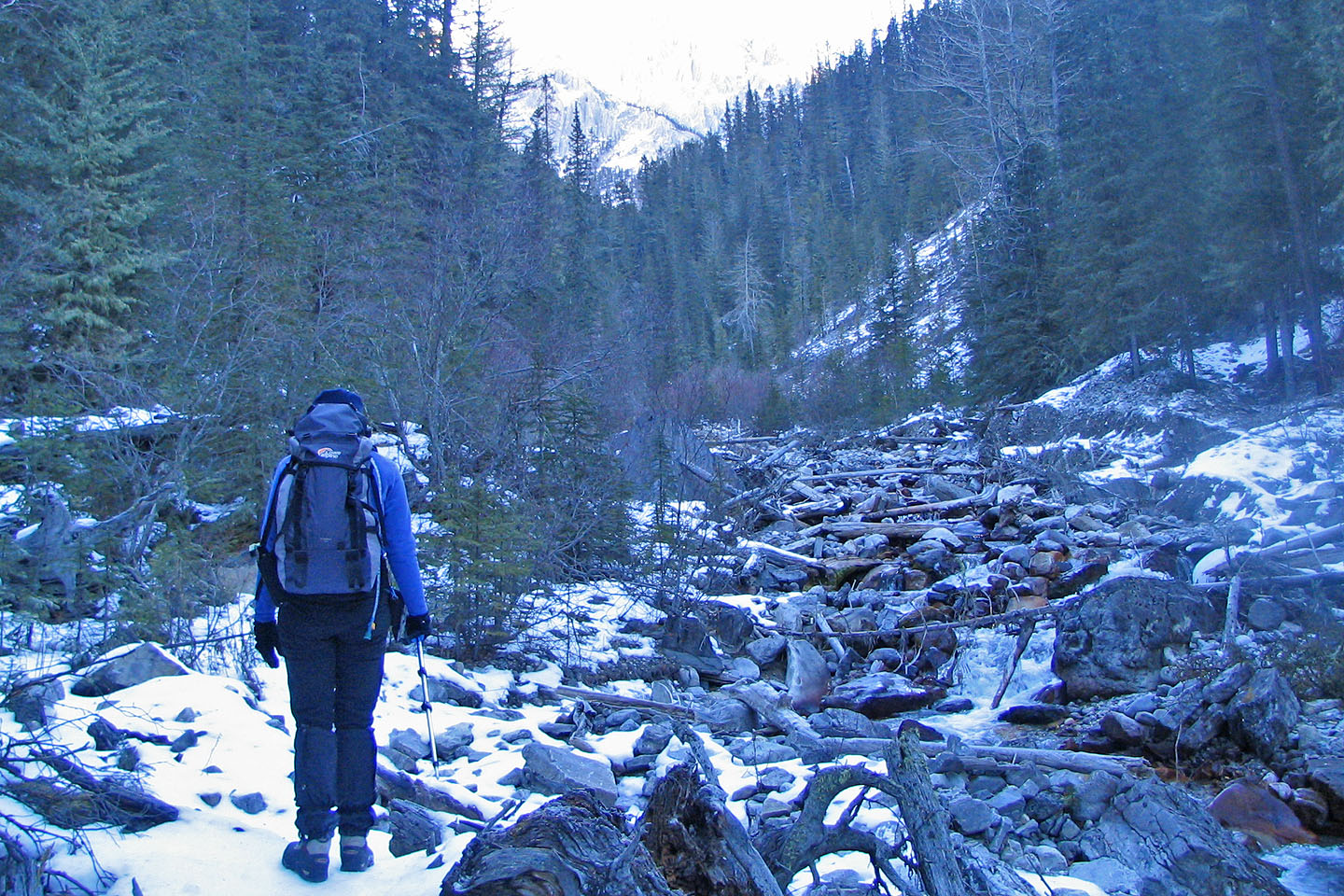
Hiking up Ranger Creek
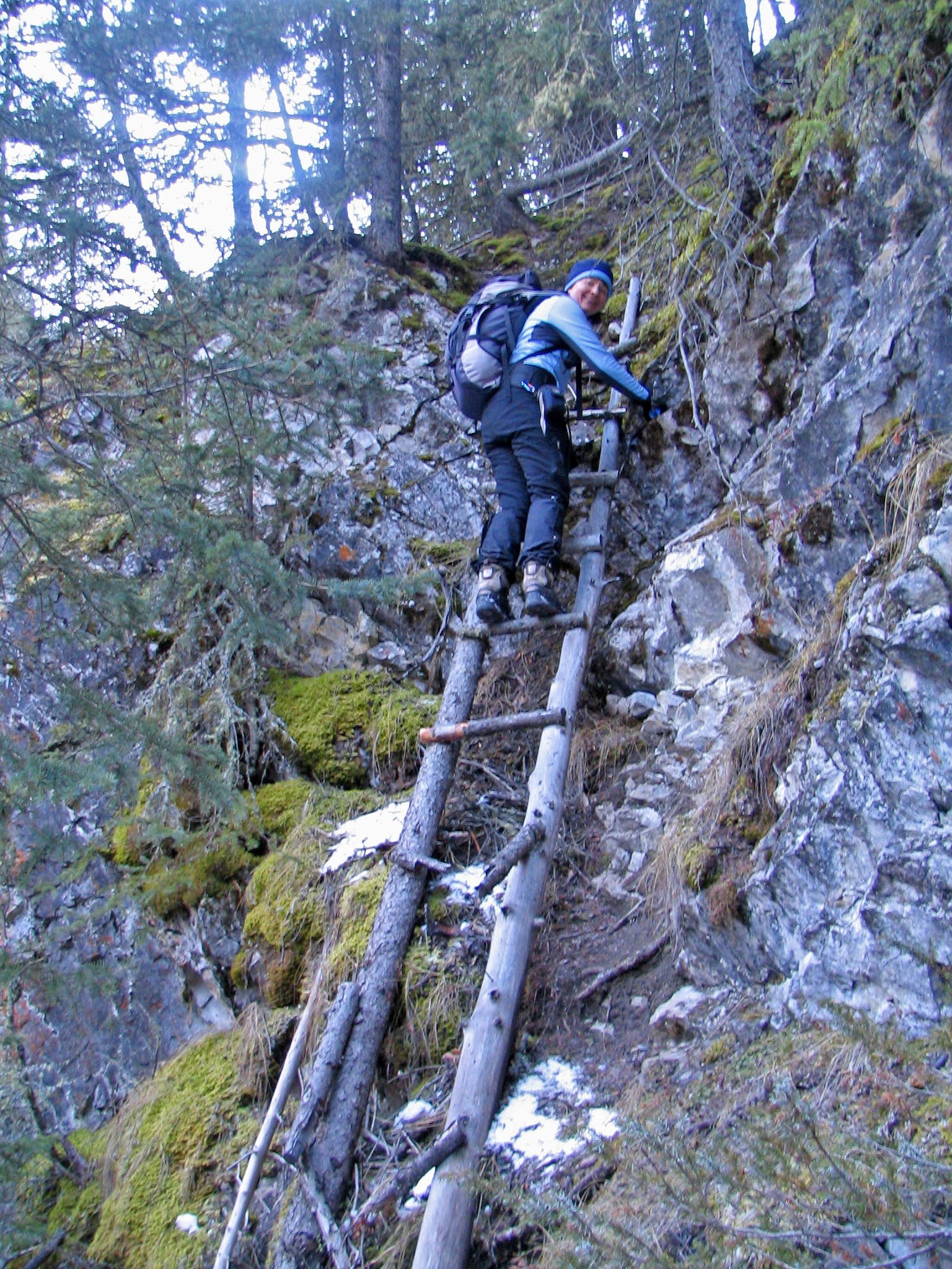
The top rungs of the ladder were still serviceable
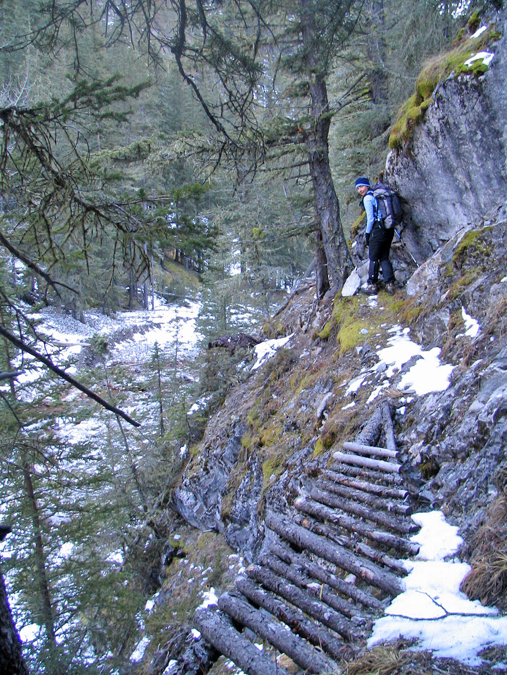
So was the boardwalk

Passing a waterfall
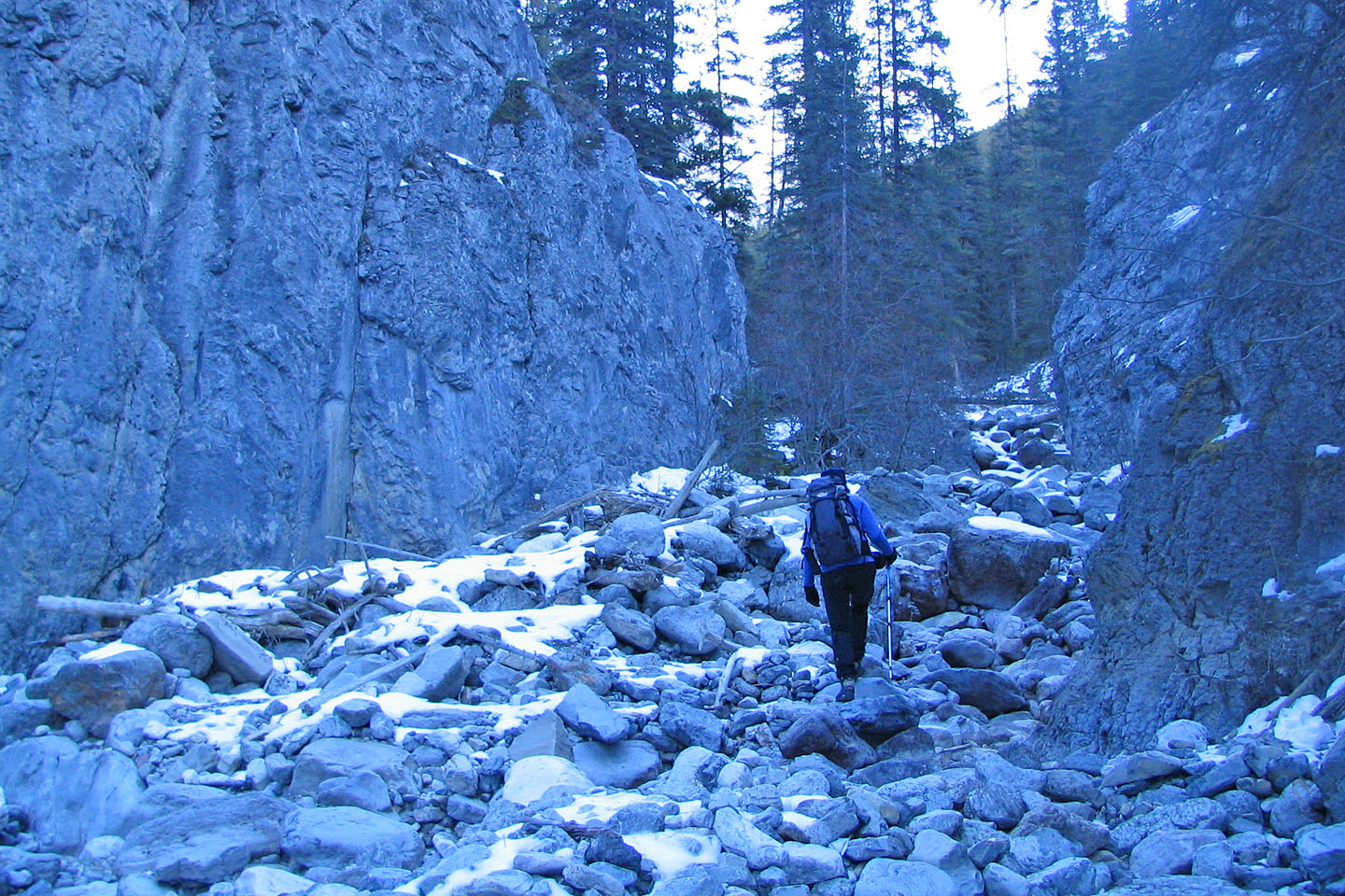
Going through a short canyon
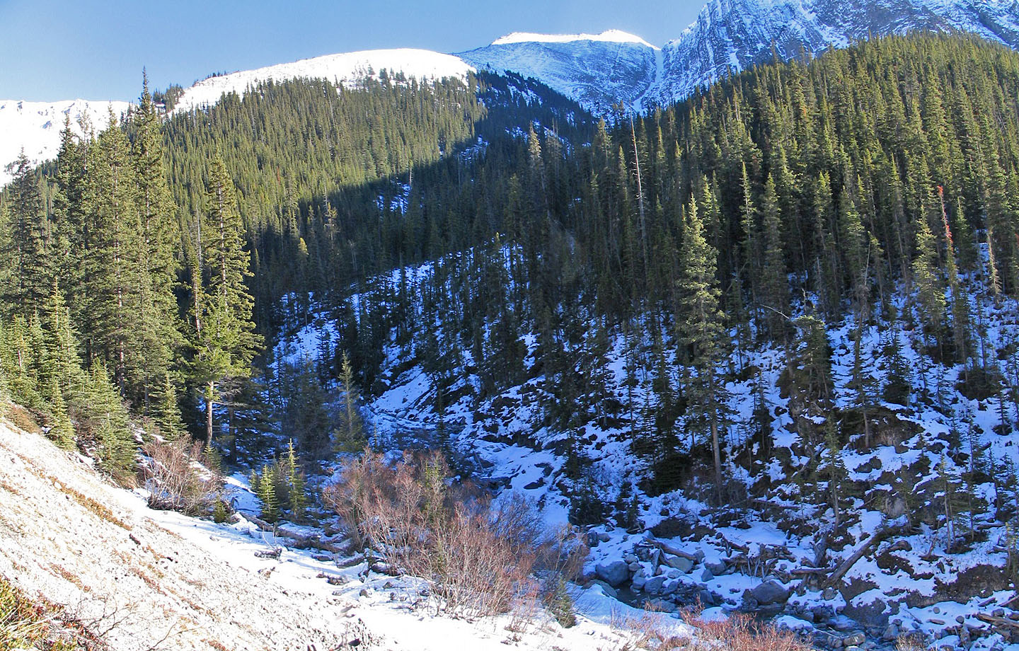
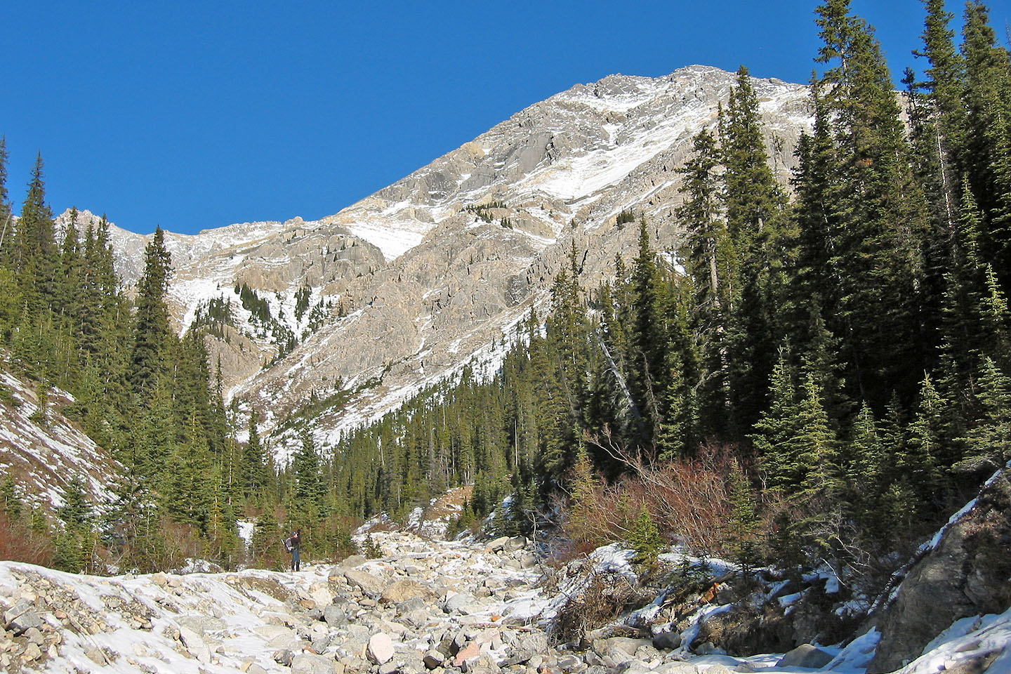
View of Cockscomb Mountain from Ranger Creek. Only the false summit is showing.
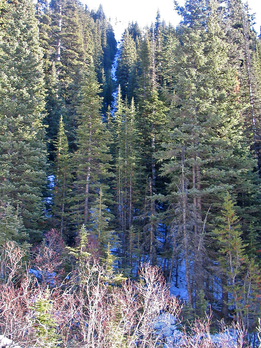
The avalanche gully is longer and steeper than it looks
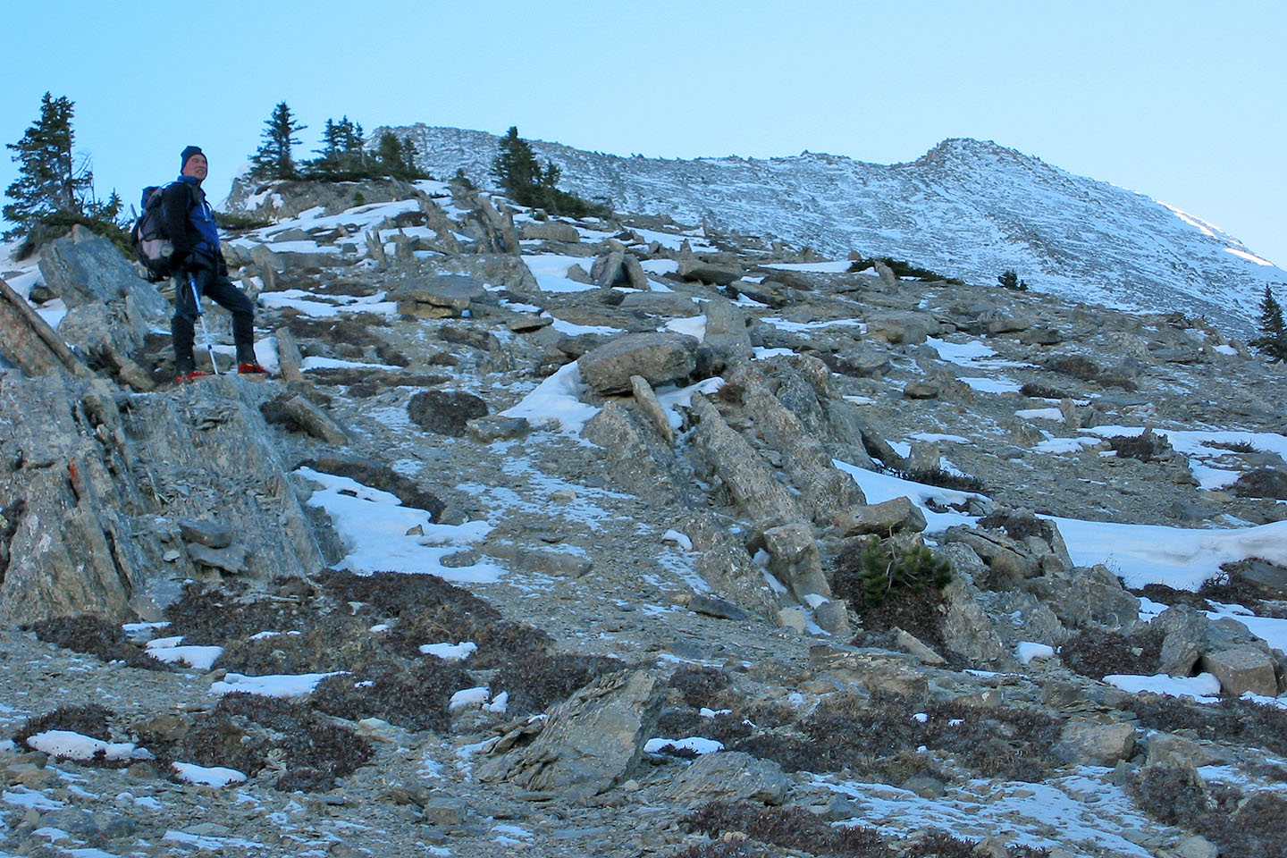
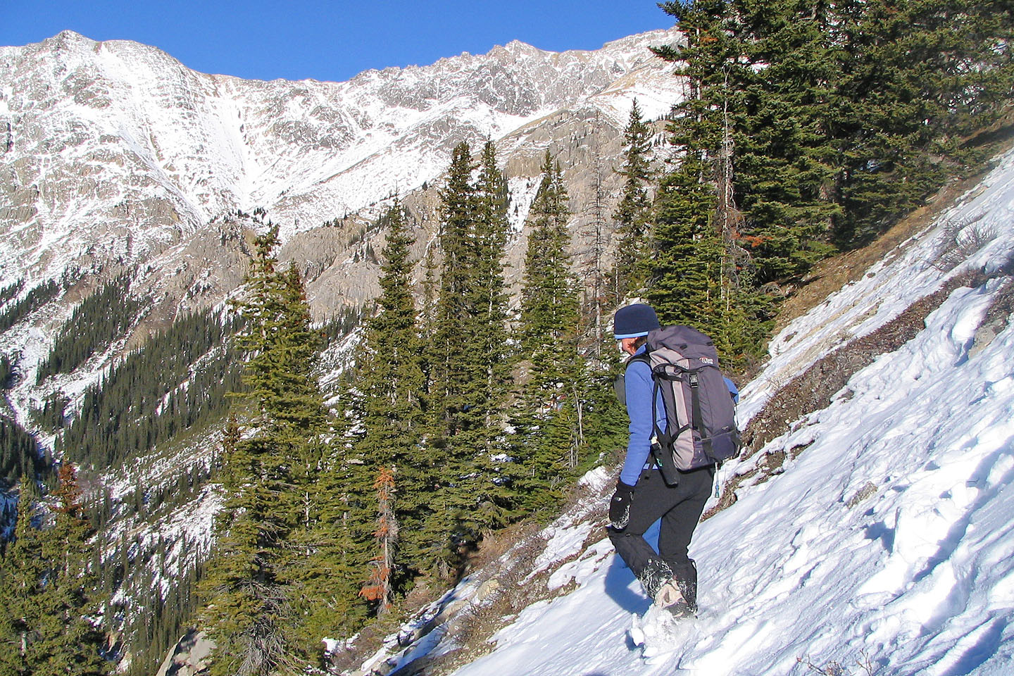
Out of the trees, the grade eases and we could see the shoulder and false summit
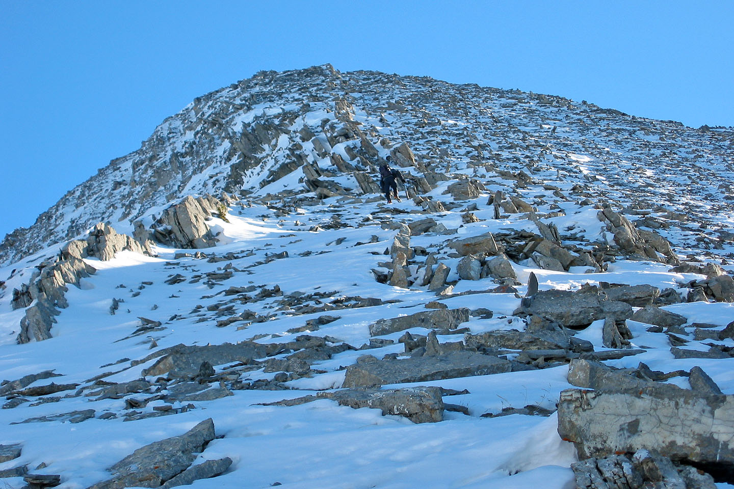
Hiking up the rubbly ridge
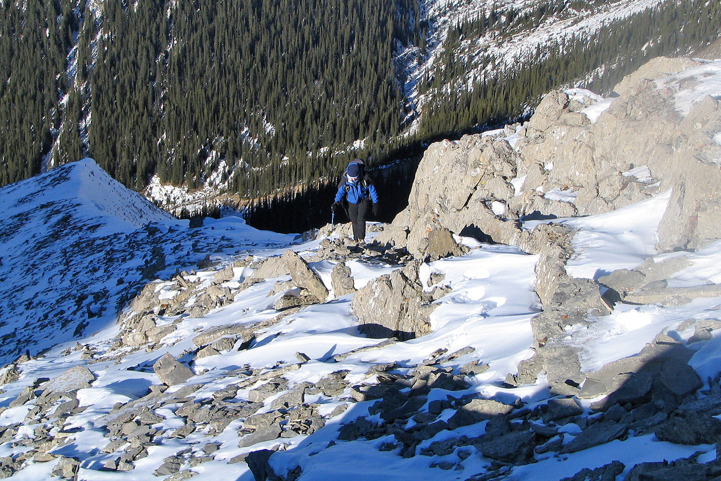
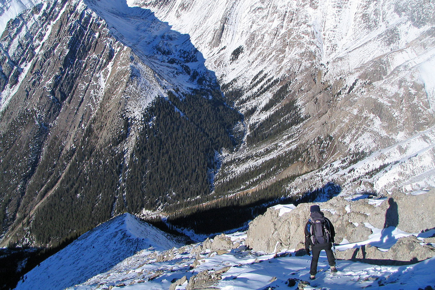
Looking back from near the top of the shoulder
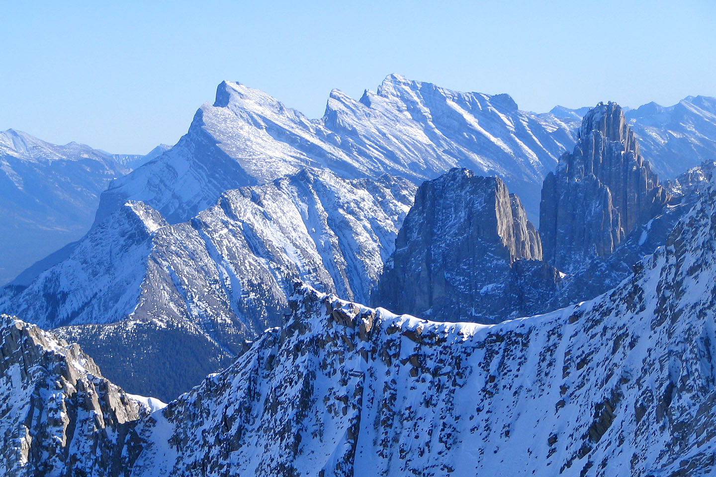
Left to right: Mounts Rundle, Norquay, Fifi and Louis (mouse over for a close-up)
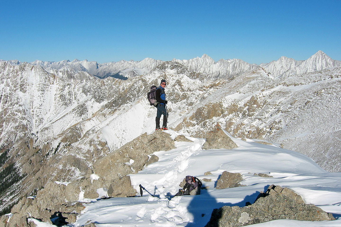
As far as we got
Heading back down the ridge
Coming down a steep slope

Coming down the cutline
Back on Ranger Creek
We followed the creek back to the trail