bobspirko.ca | Home | Canada Trips | US Trips | Hiking | Snowshoeing | MAP | About
Snow Peak
Kananaskis, Alberta
August 10, 2008
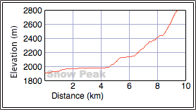
Distance: 18.8 km (11.7 mi)
Cumulative Elevation Gain: 896 m (2940 ft)
Snow Peak is an easy scramble with great scenery. And finding your way up the mountain is easy too. Hike 8 km up Burstall Pass trail, turn right and follow the south ridge to the summit. Cliff bands are easily scrambled up by keeping left.
Dinah and I reached the pass in an hour and a half. We left the trail and started up a broad, gentle lower slope of the south ridge. Staying close to the ridge, we came across trails that made the climb easier. After hiking up a scree slope, we scrambled up short cliffs.
A little over an hour from the pass, we were standing on the summit. It was warm with a few clouds; there was no sign of a thunderstorm that was in the forecast. We spent over half an hour on the top before starting our descent. We only saw two others on our ascent, but on the pass, hikers had amassed on the broad pass. After reaching the pass, we quickened our pace and left the crowd behind.
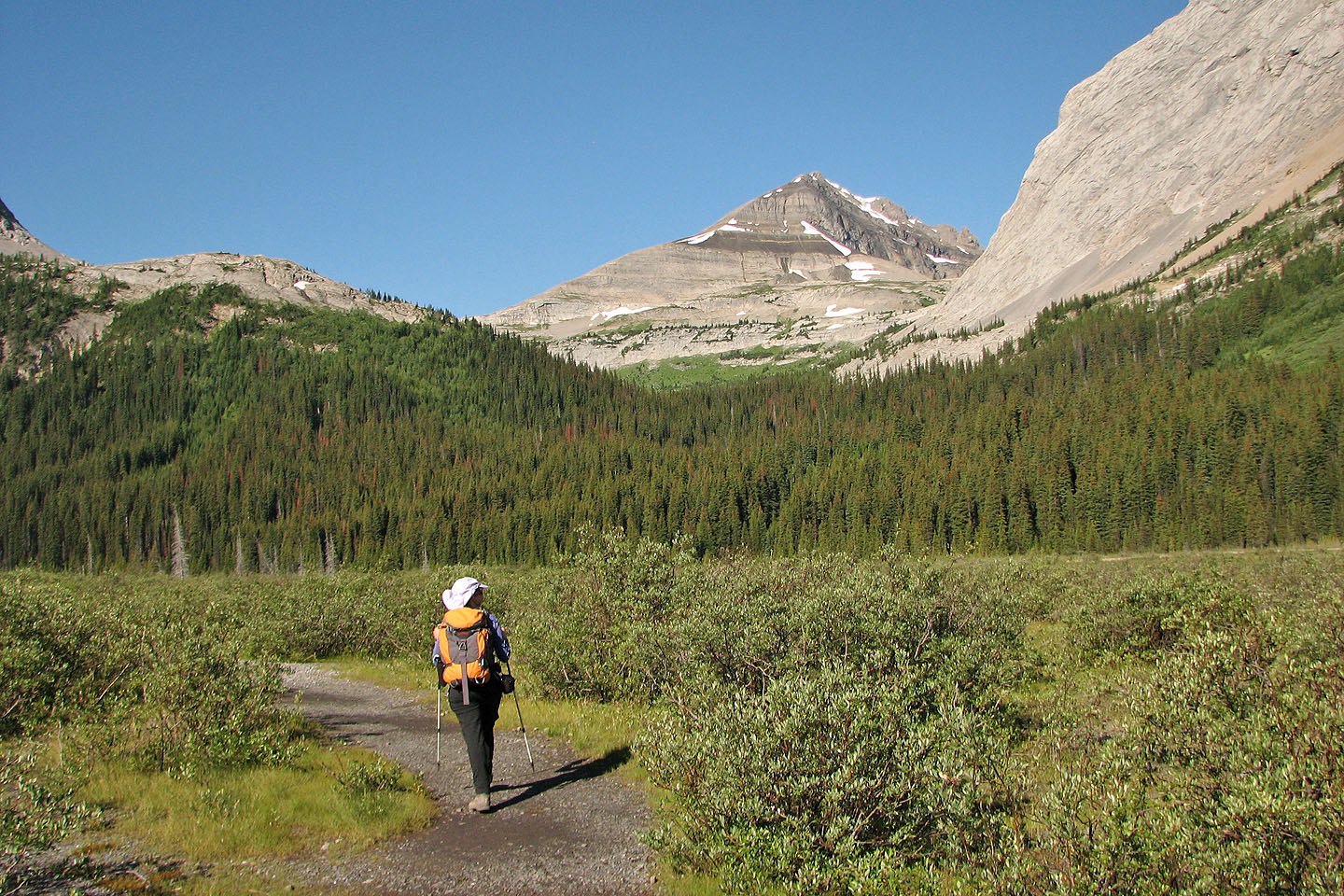
Crossing the gravel flats with Snow Peak on the right (mouse over for a close-up)
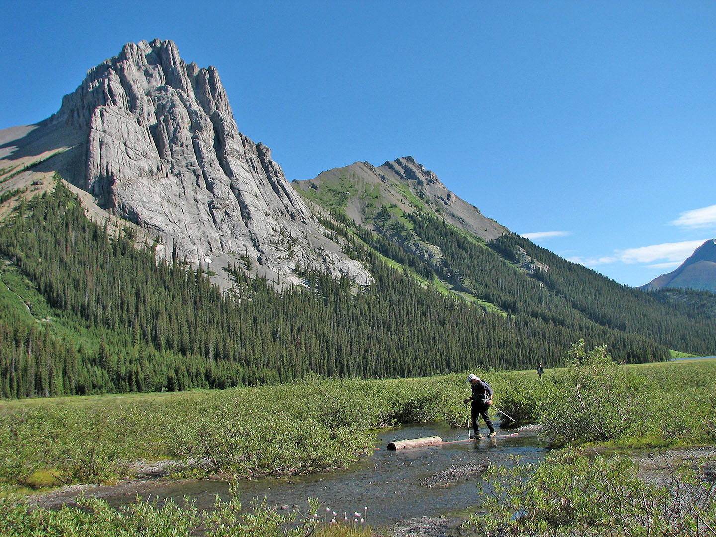
Negotiating logs to cross the largest stream in the flats. Commonwealth Peak on the left.
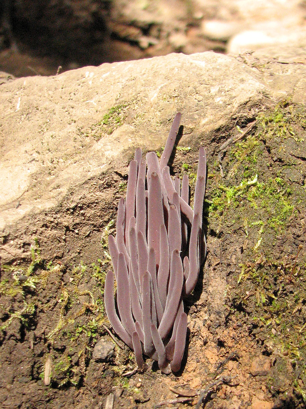
Odd-looking fungus
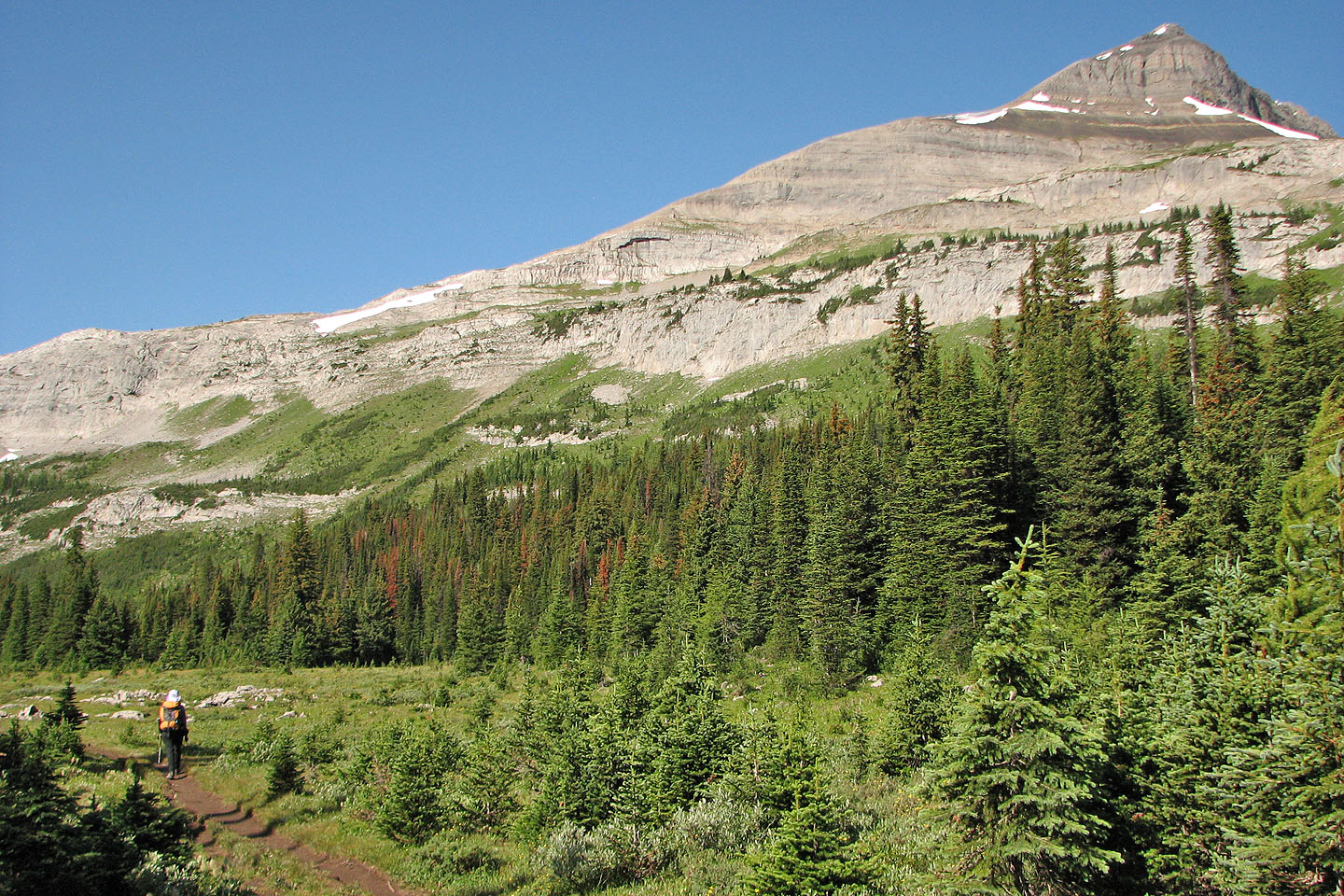
Drawing closer to Snow Peak
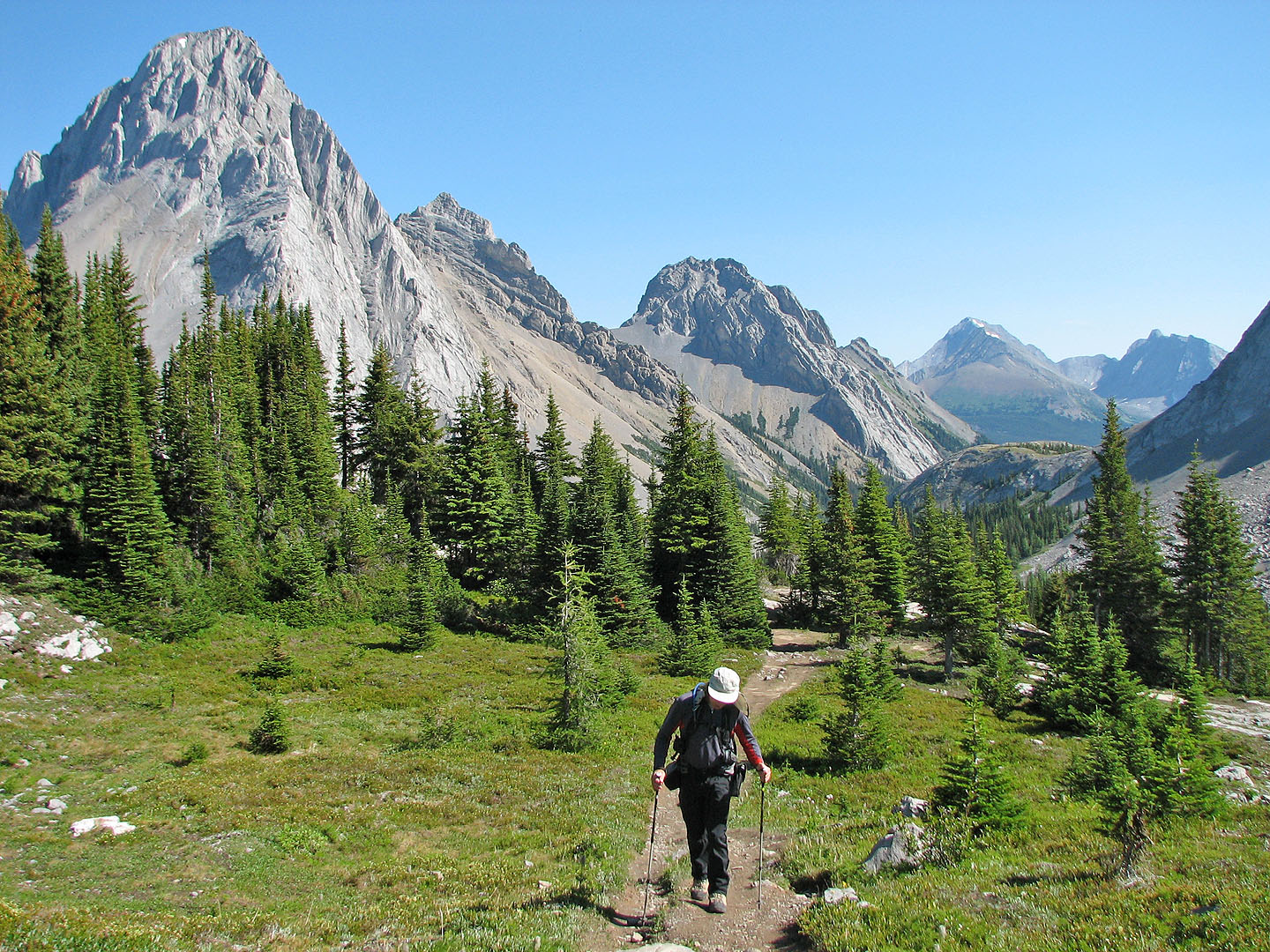
L to R: Mount Birdwood, Pig's Tail and Commonwealth Peak
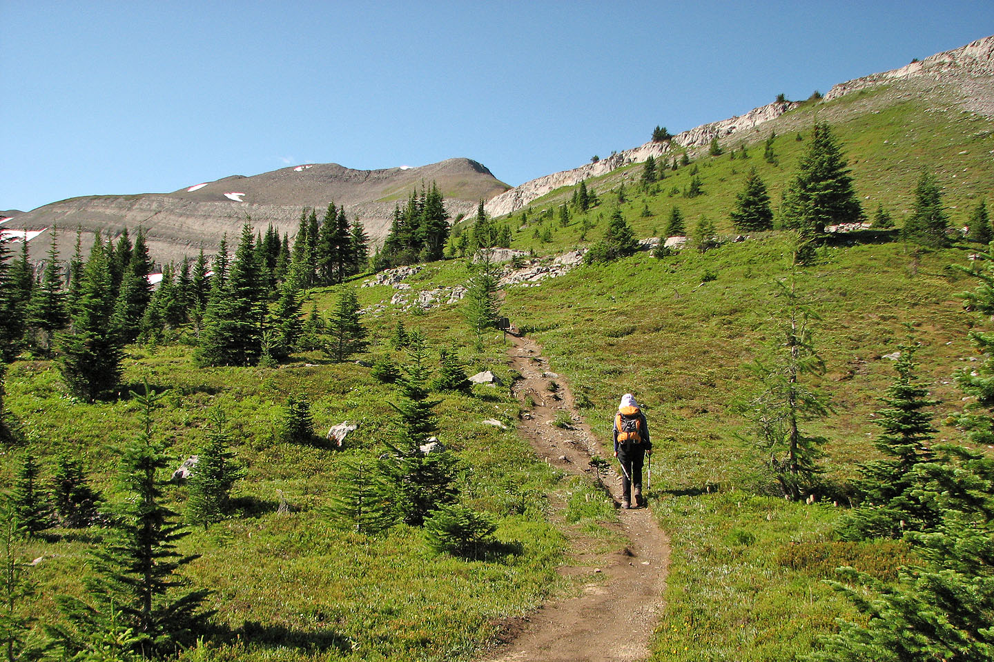
Nearing Burstall Pass
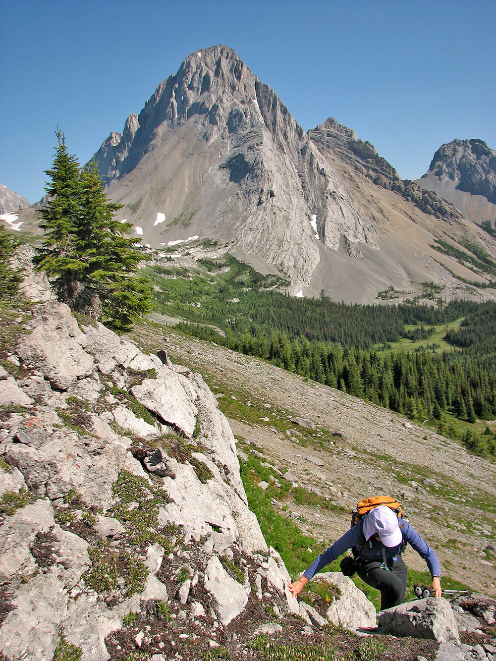
Dinah scrambles up a low cliff band from the pass
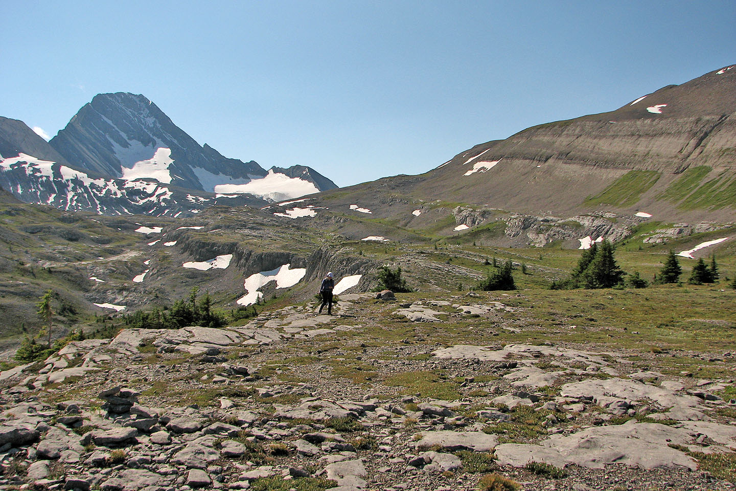
After climbing we reached a plateau
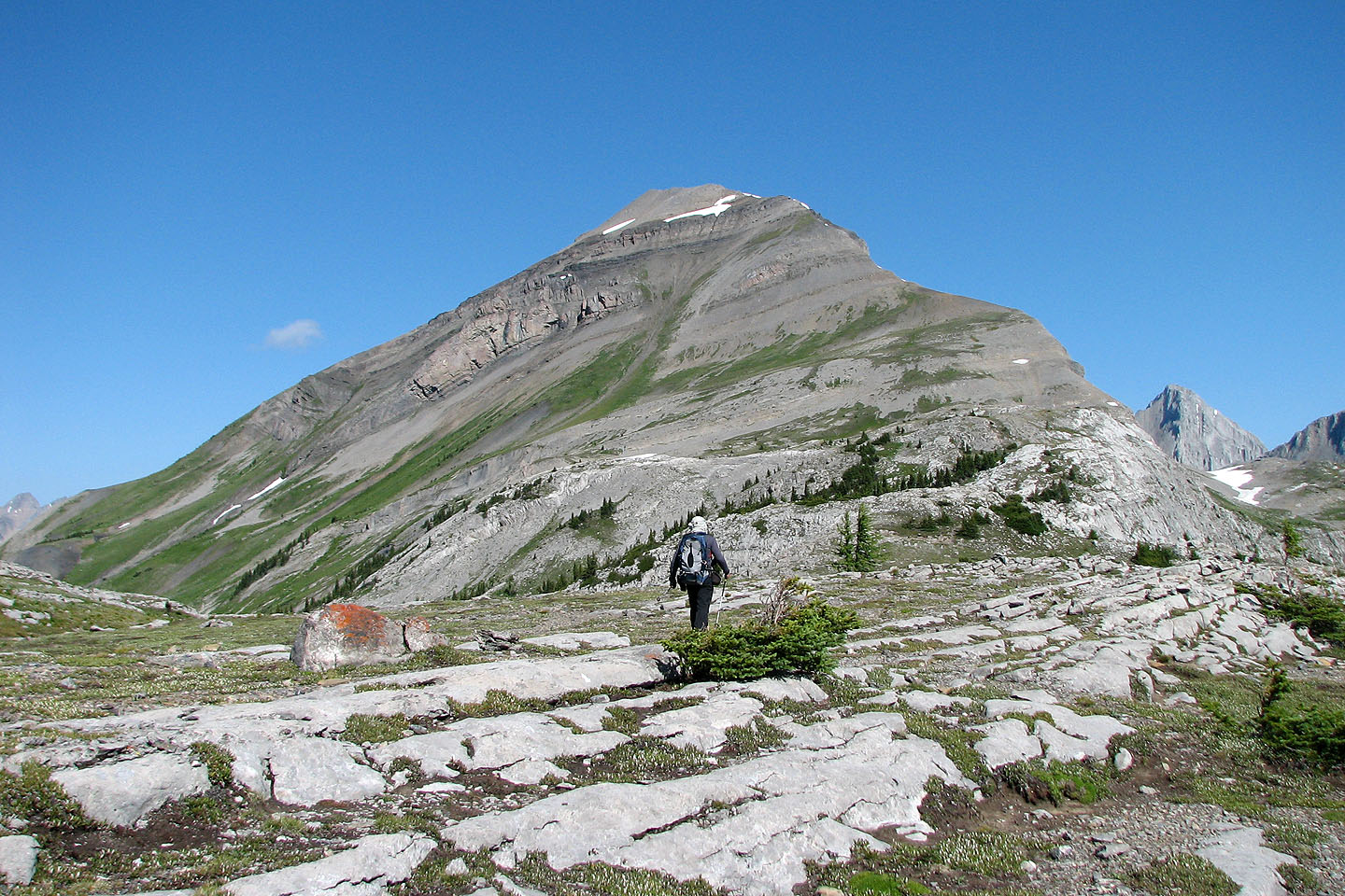
Heading to Snow Peak
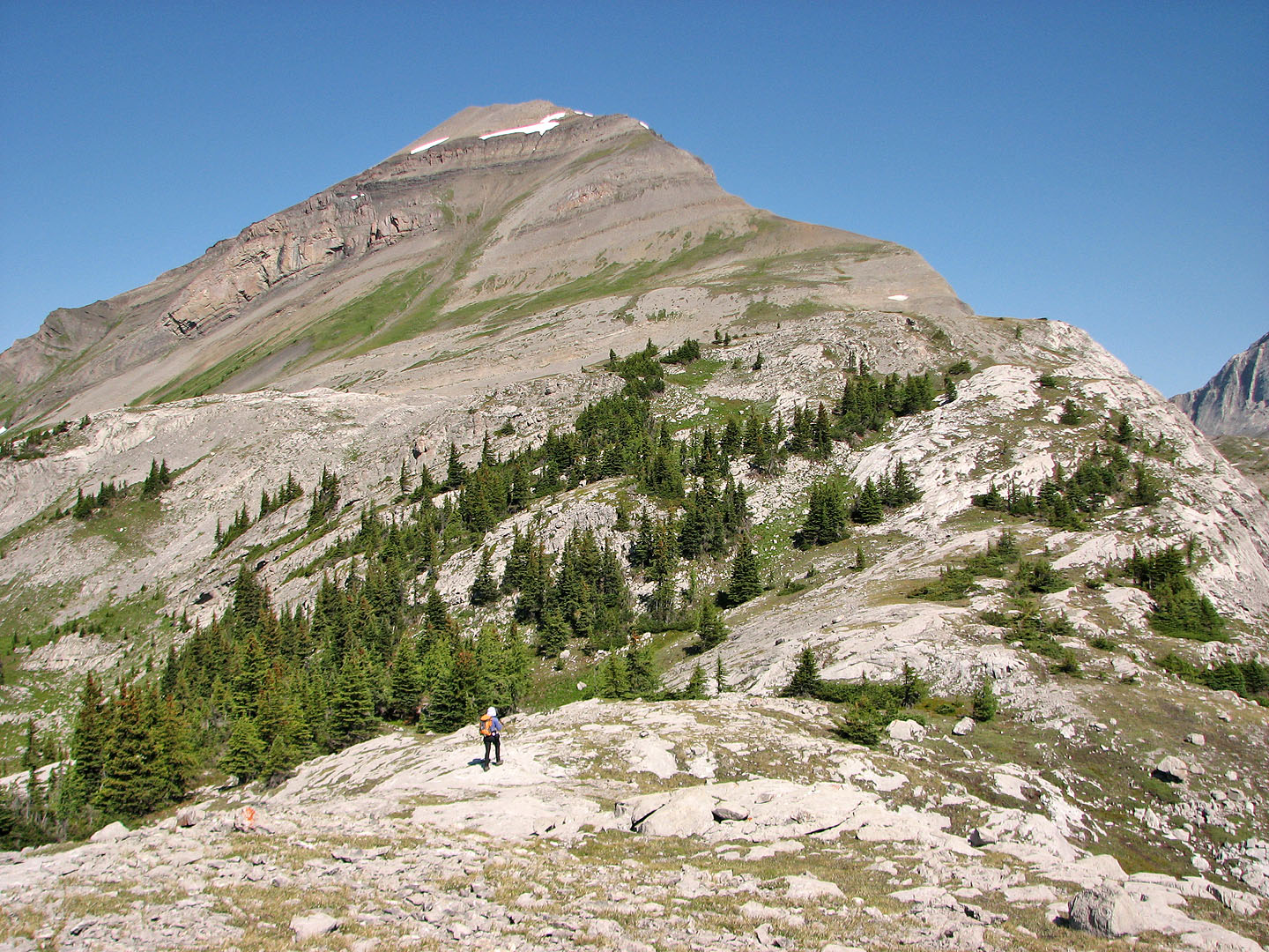
We followed the ridge up
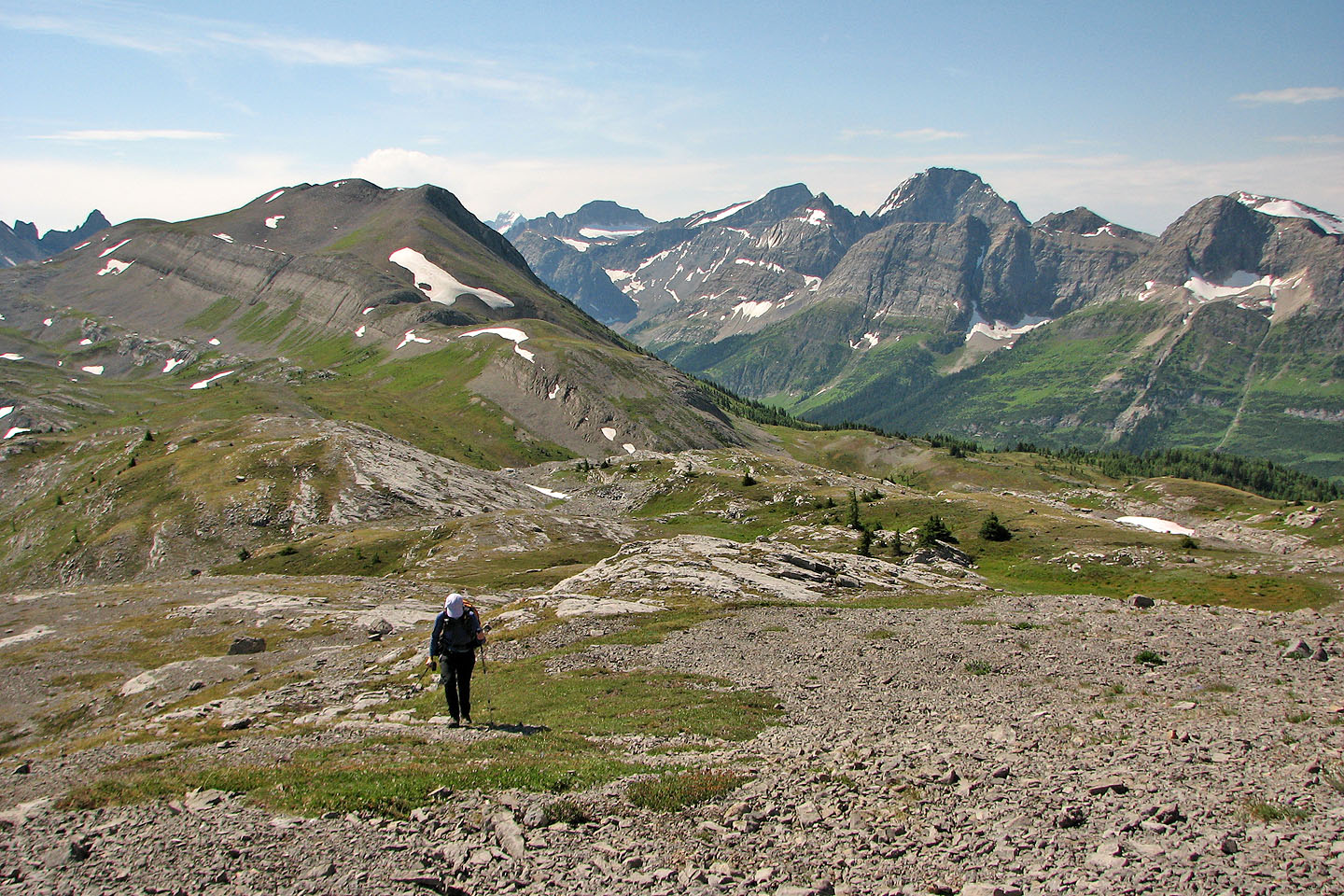
Looking back at the pass
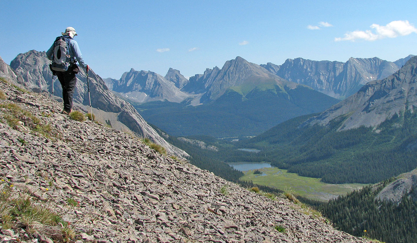
Burstall Lakes below
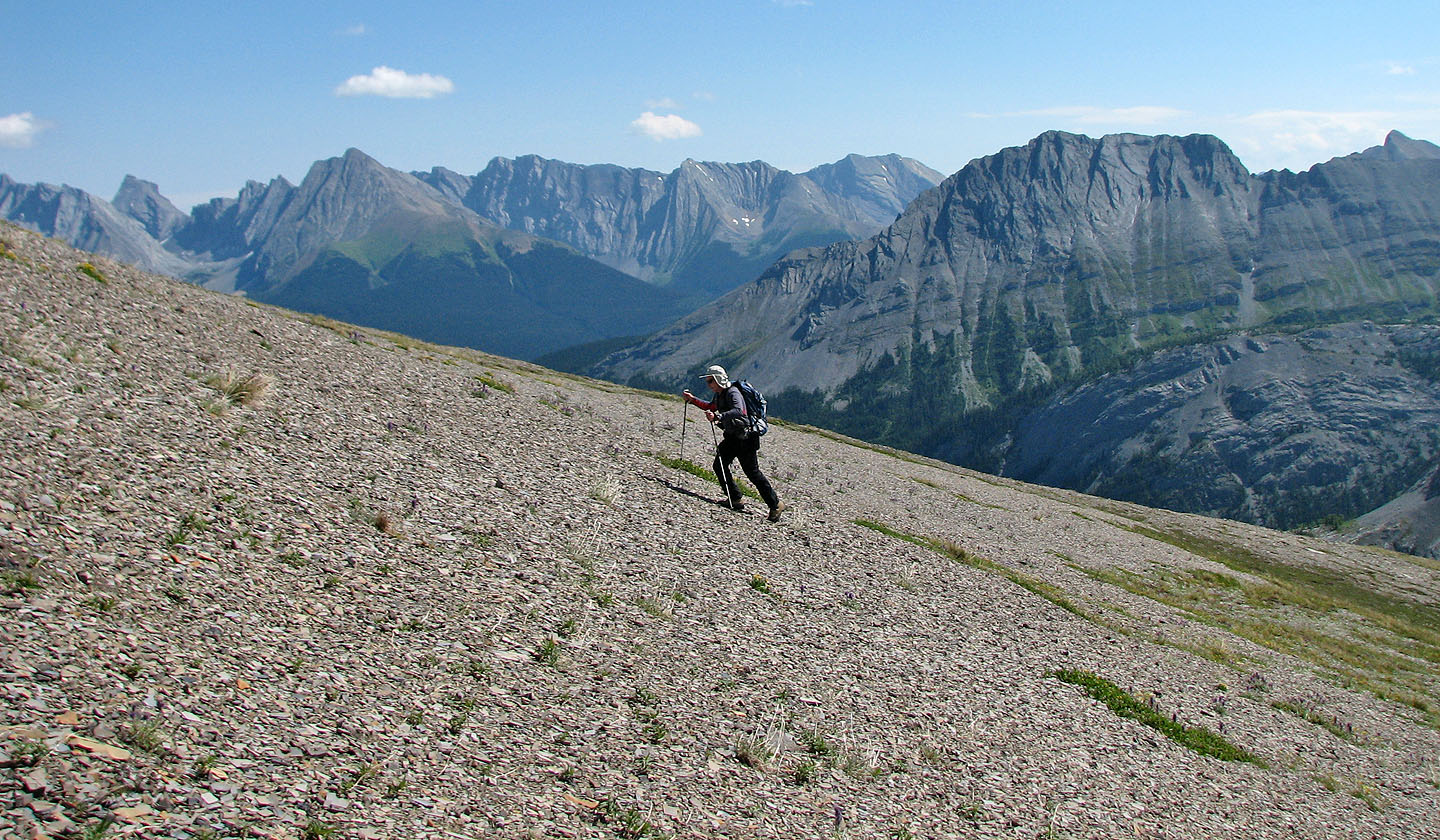
Easy grade up the scree slope
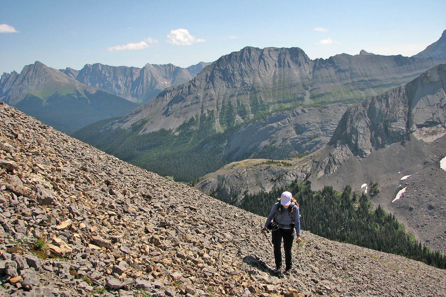
Mount Burstall in the centre
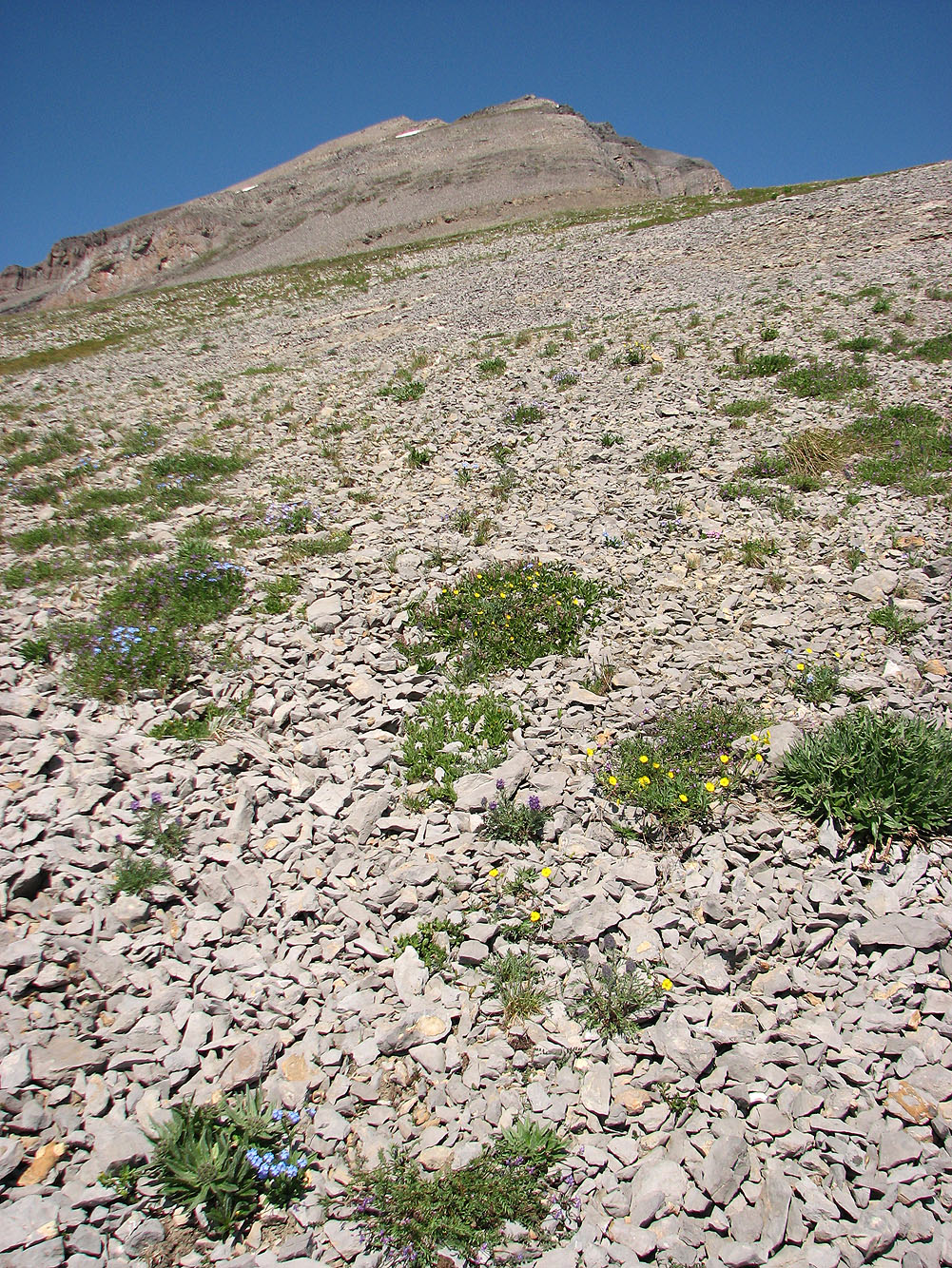
Wildflowers dot the lower slopes
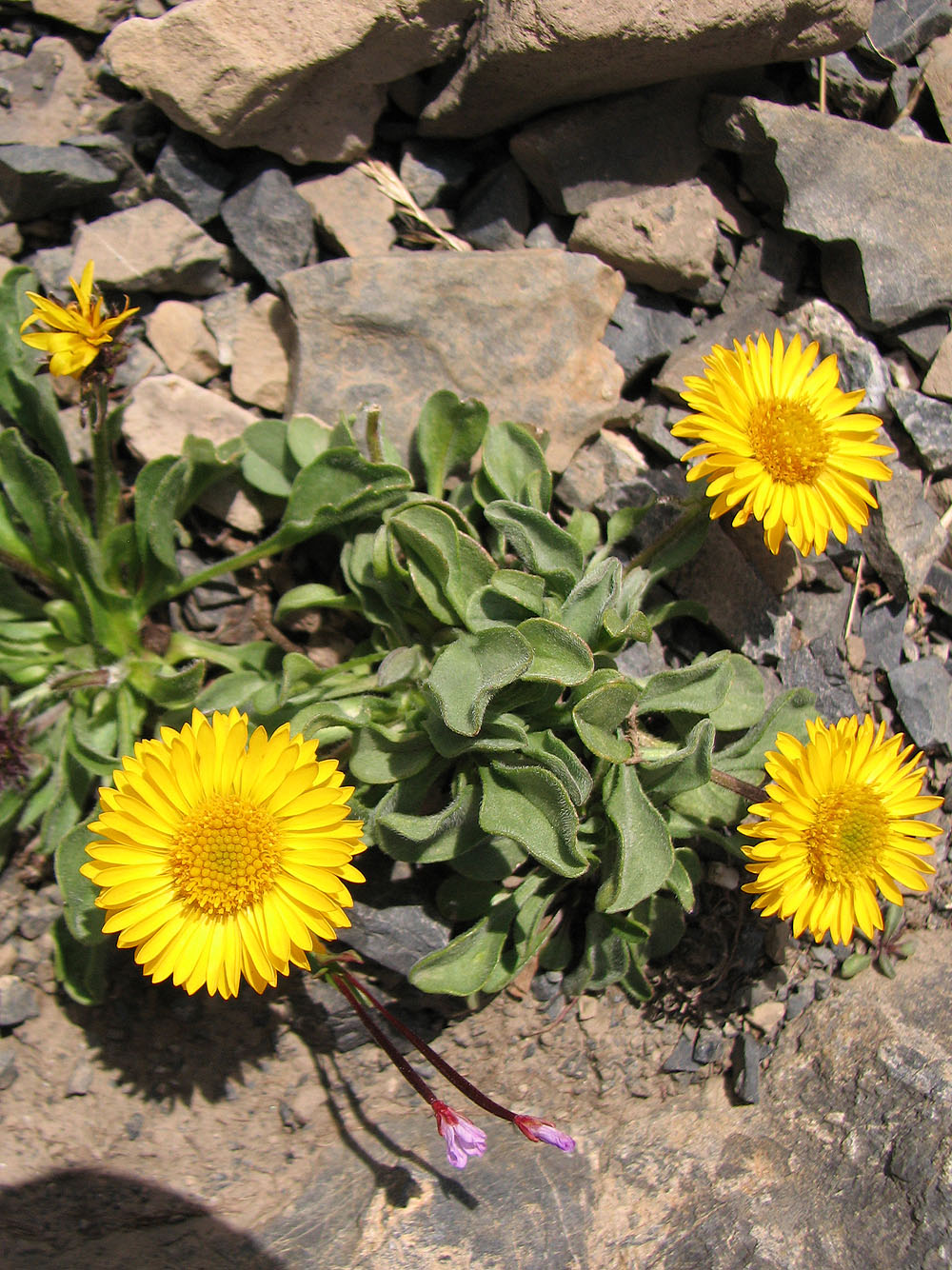
Close-up of some flowers
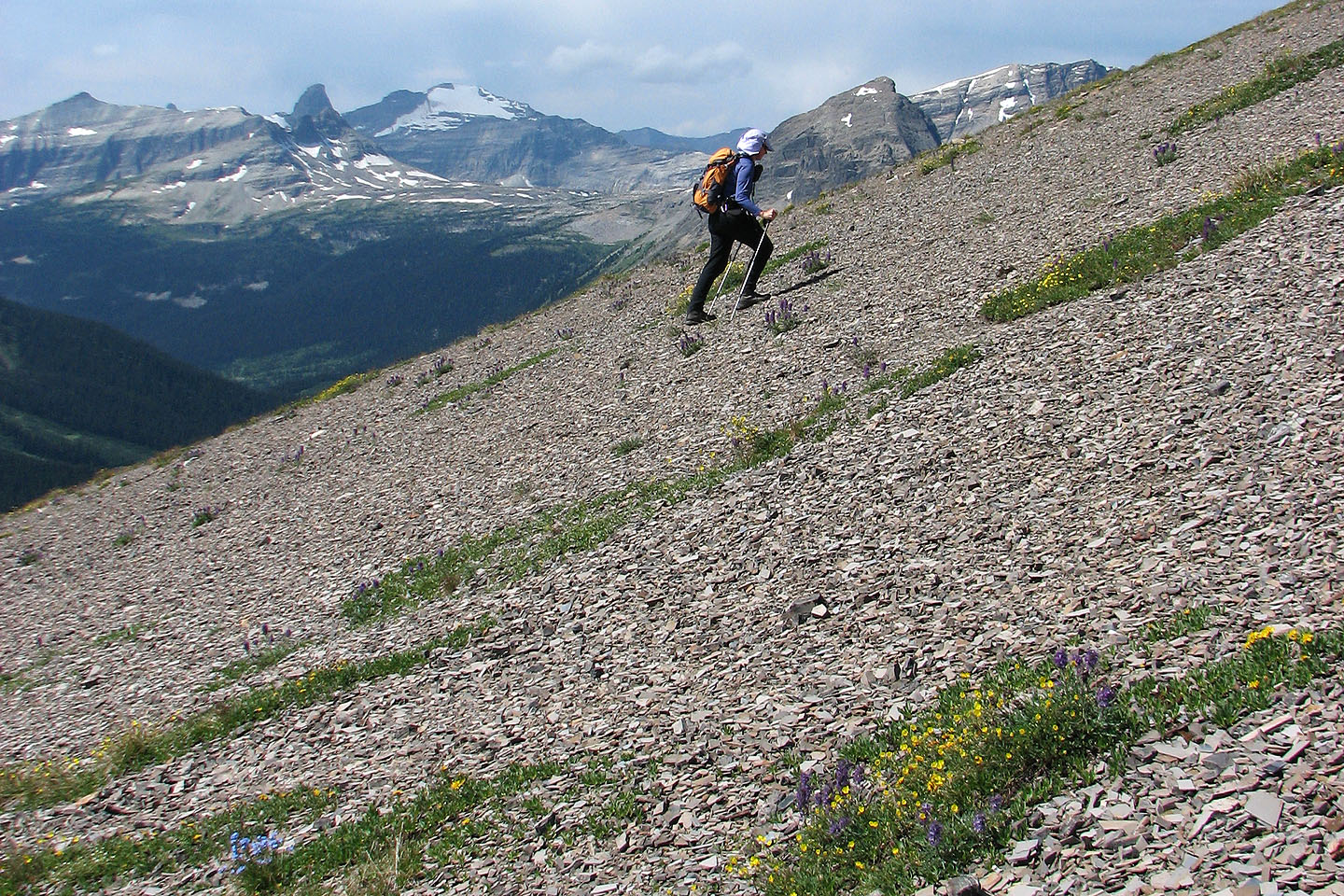
Left is "Shark Fin" and Mount Soderholm (mouse over for a close-up)
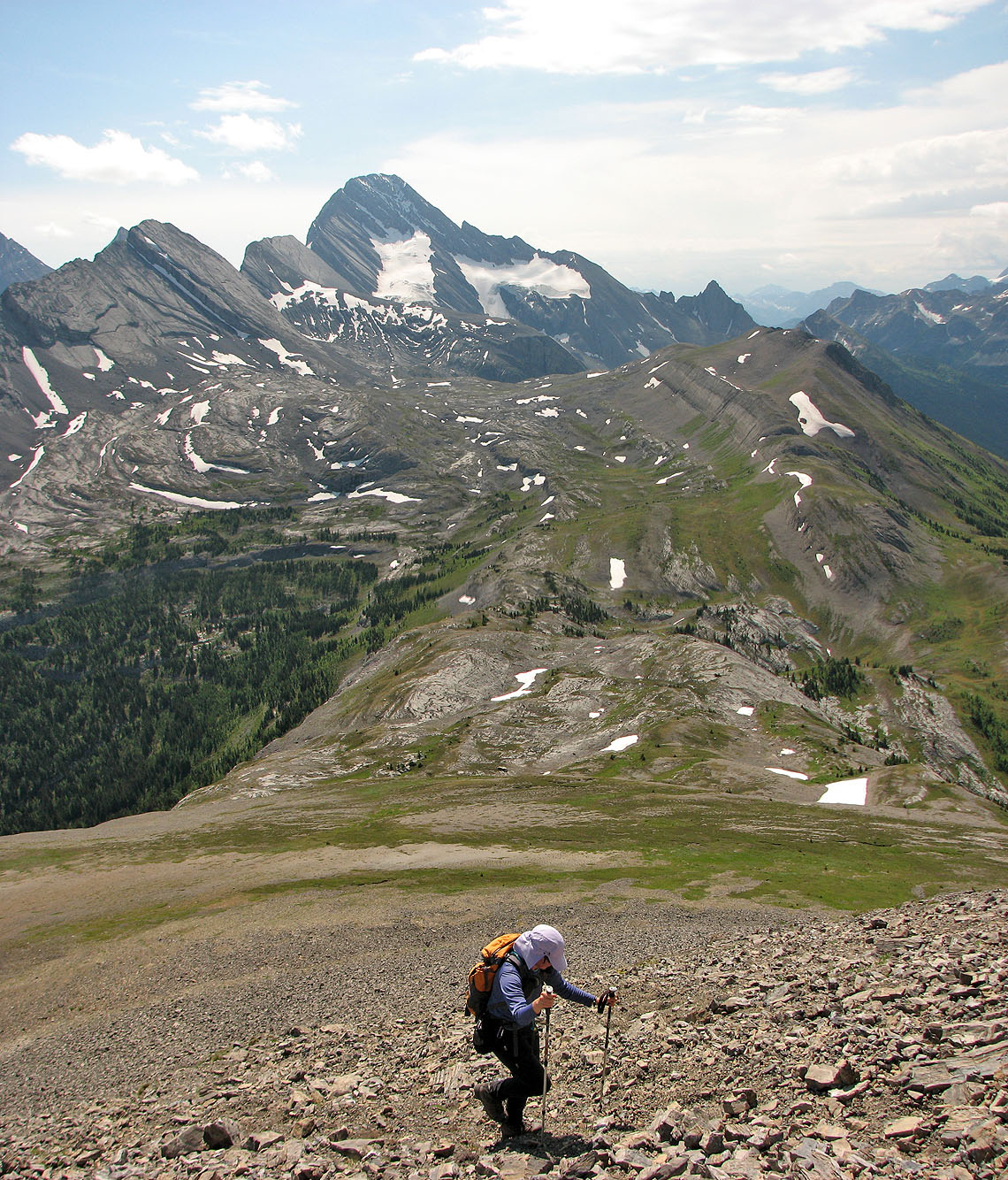
Looking down at the pass. Mount Sir Douglas on the skyline (mouse over).
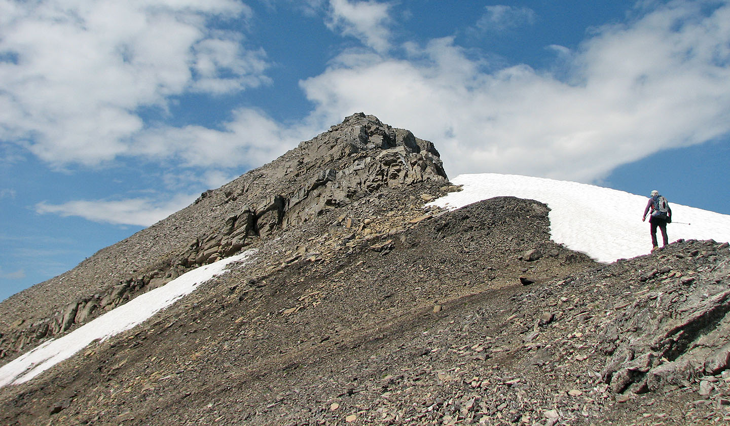
Minor cliff band before the false summit
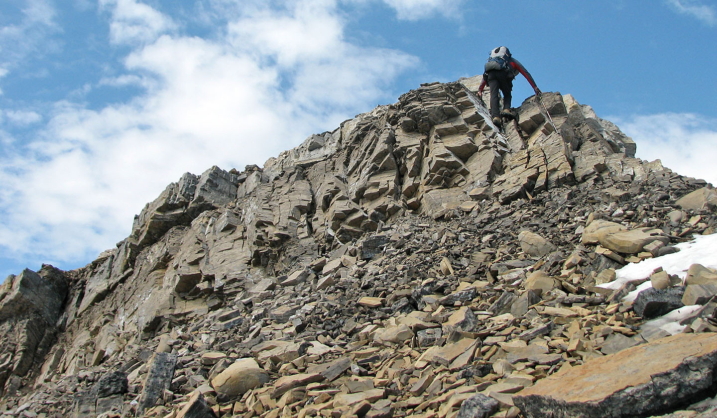
Easy scramble
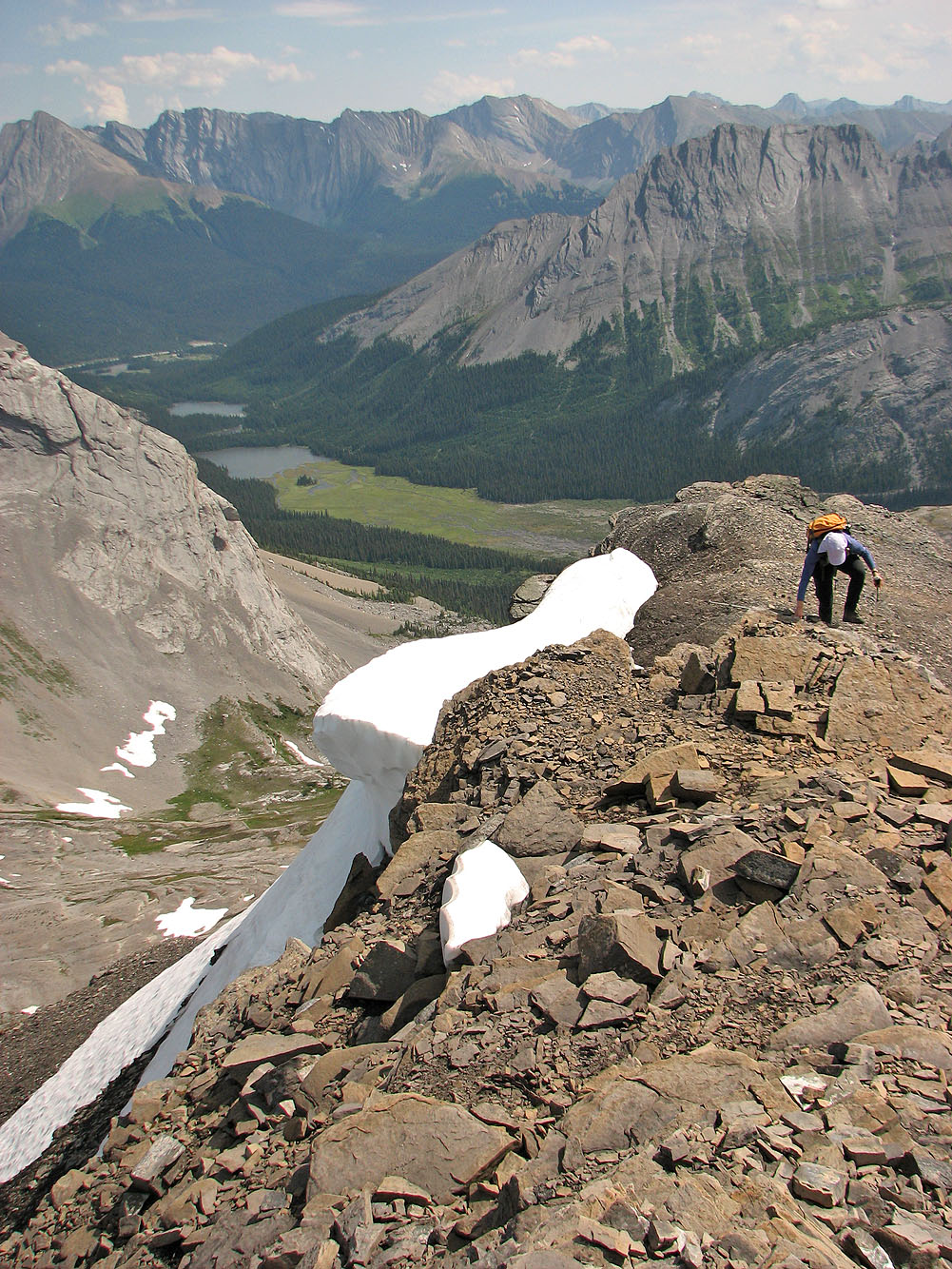
Dinah follows
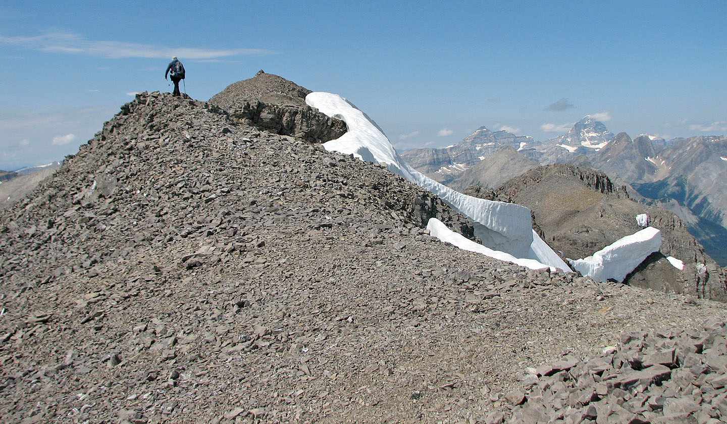
A short ridge walk to the summit from here
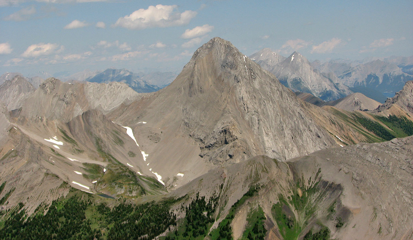
Mount Smuts
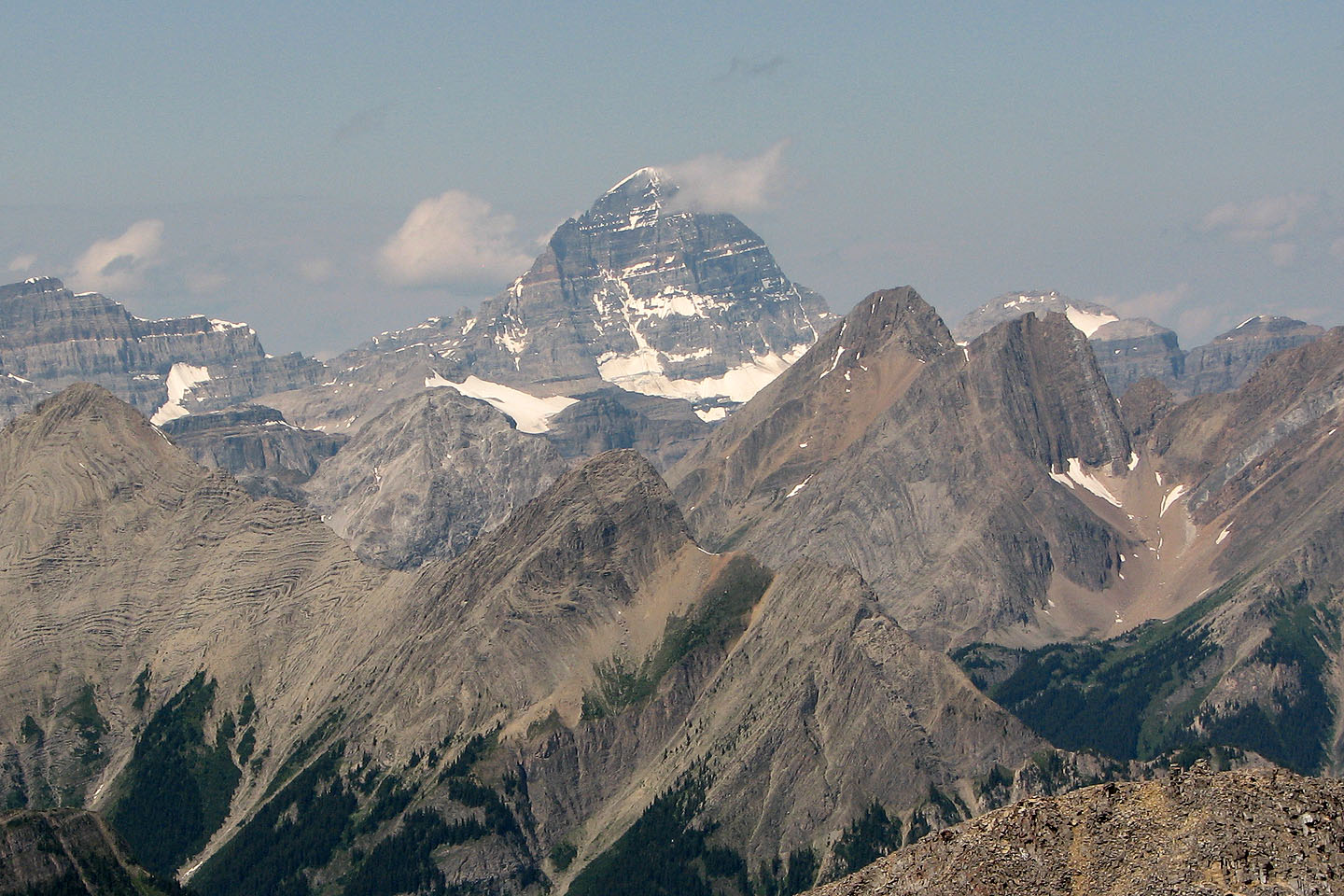
Mount Assiniboine
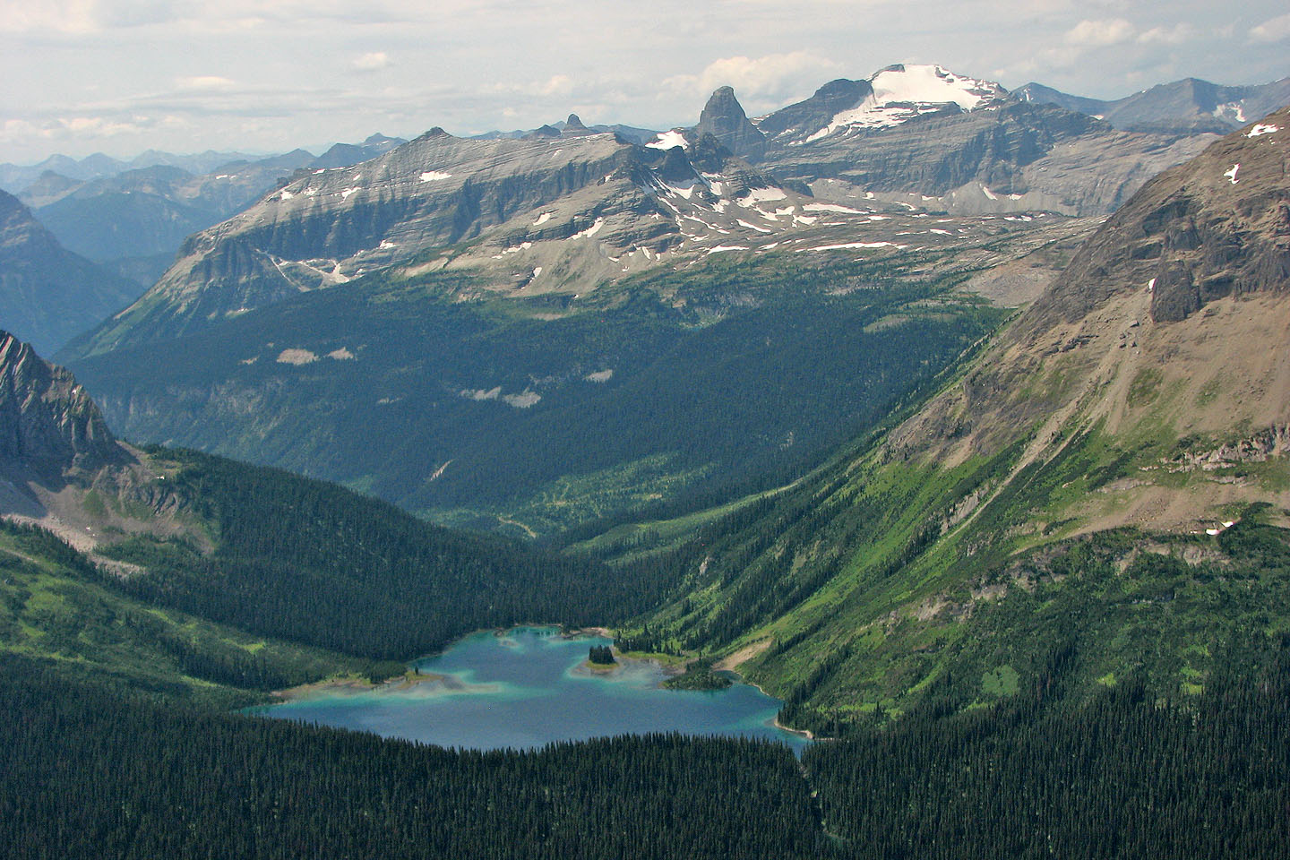
Leman Lake
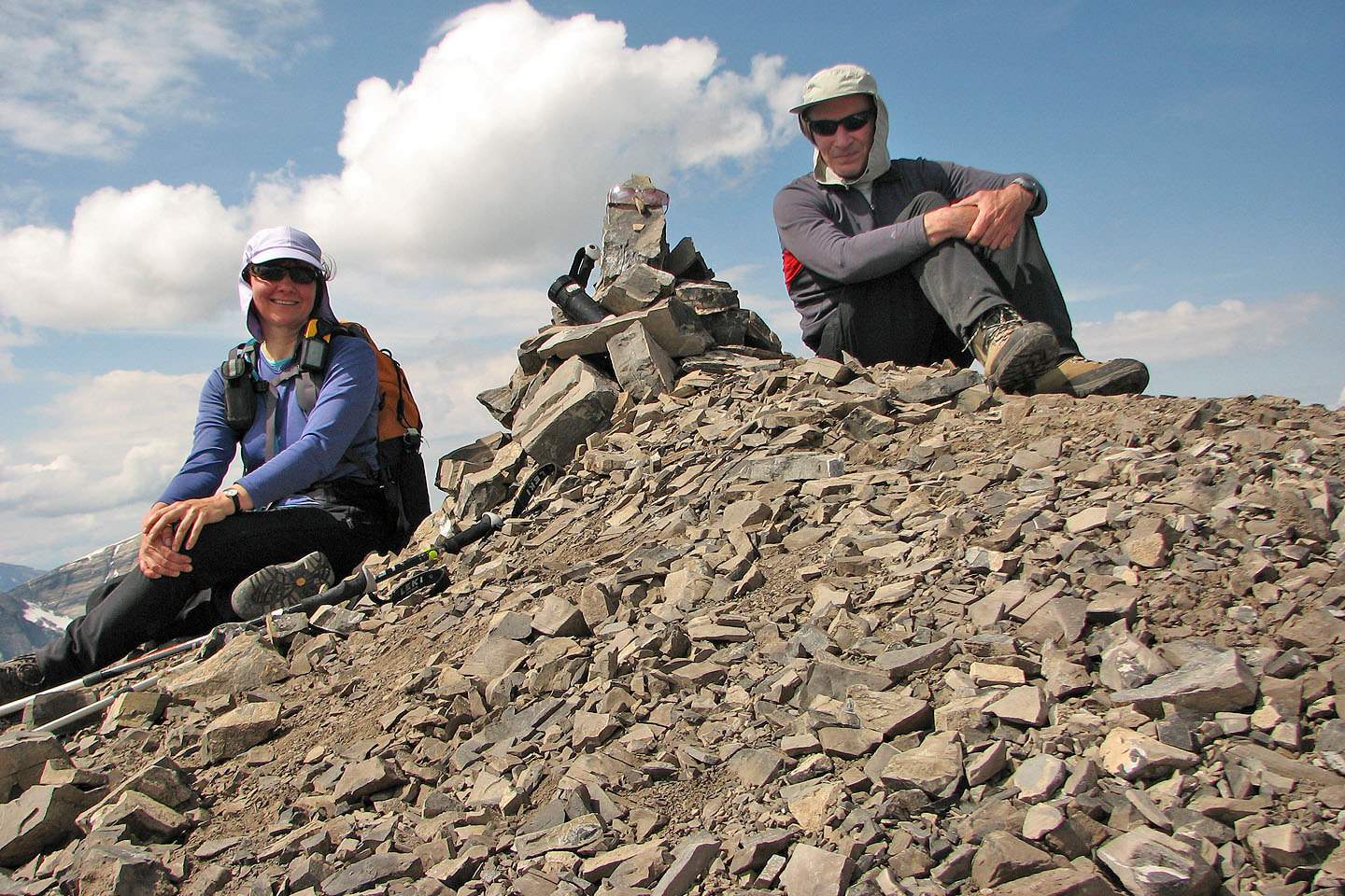
On the summit
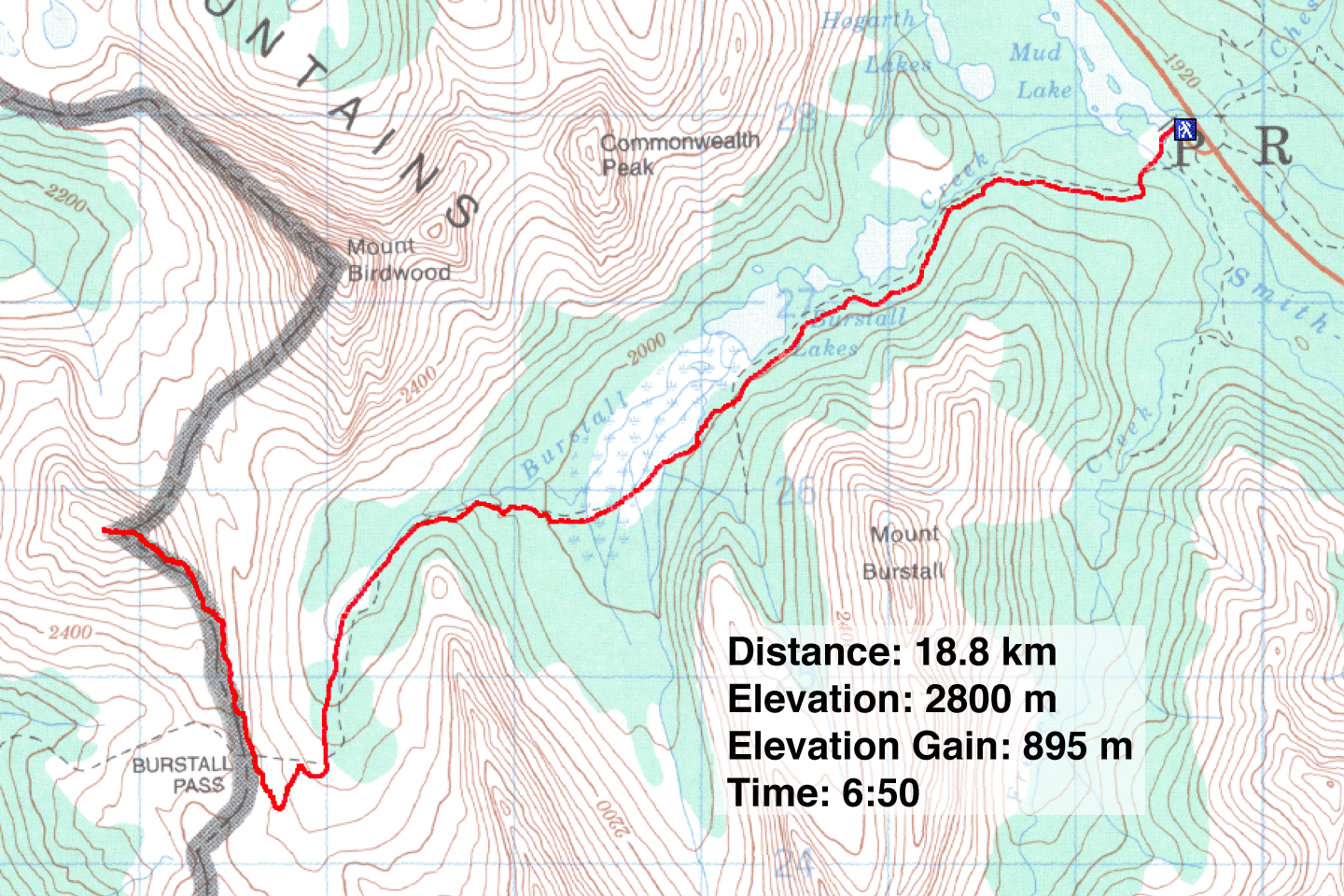
82 J/14 Spray Lakes Reservoir
