bobspirko.ca | Home | Canada Trips | US Trips | Hiking | Snowshoeing | MAP | About
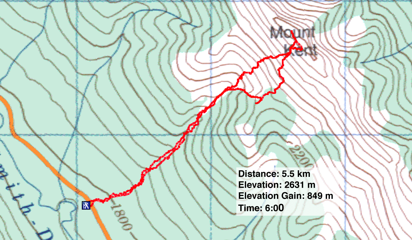
Mount Kent
Kananaskis, Alberta
August 28, 2010
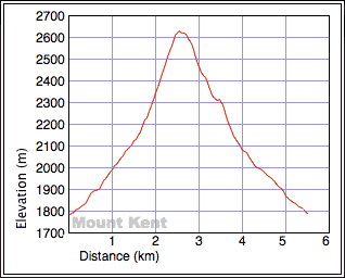
Distance: 5.5 km (3.4 mi)
Cumulative Elevation Gain: 850 m (1959 ft)
Dinah and I weren't sure what to expect when we parked at the “double drainage” start for Mount Kent. But sure enough, we noticed two drainages just a couple of dozen metres apart. Either drainage can be taken – they meet 60 metres from the highway – but the left one comes to a log jam that's best avoided.
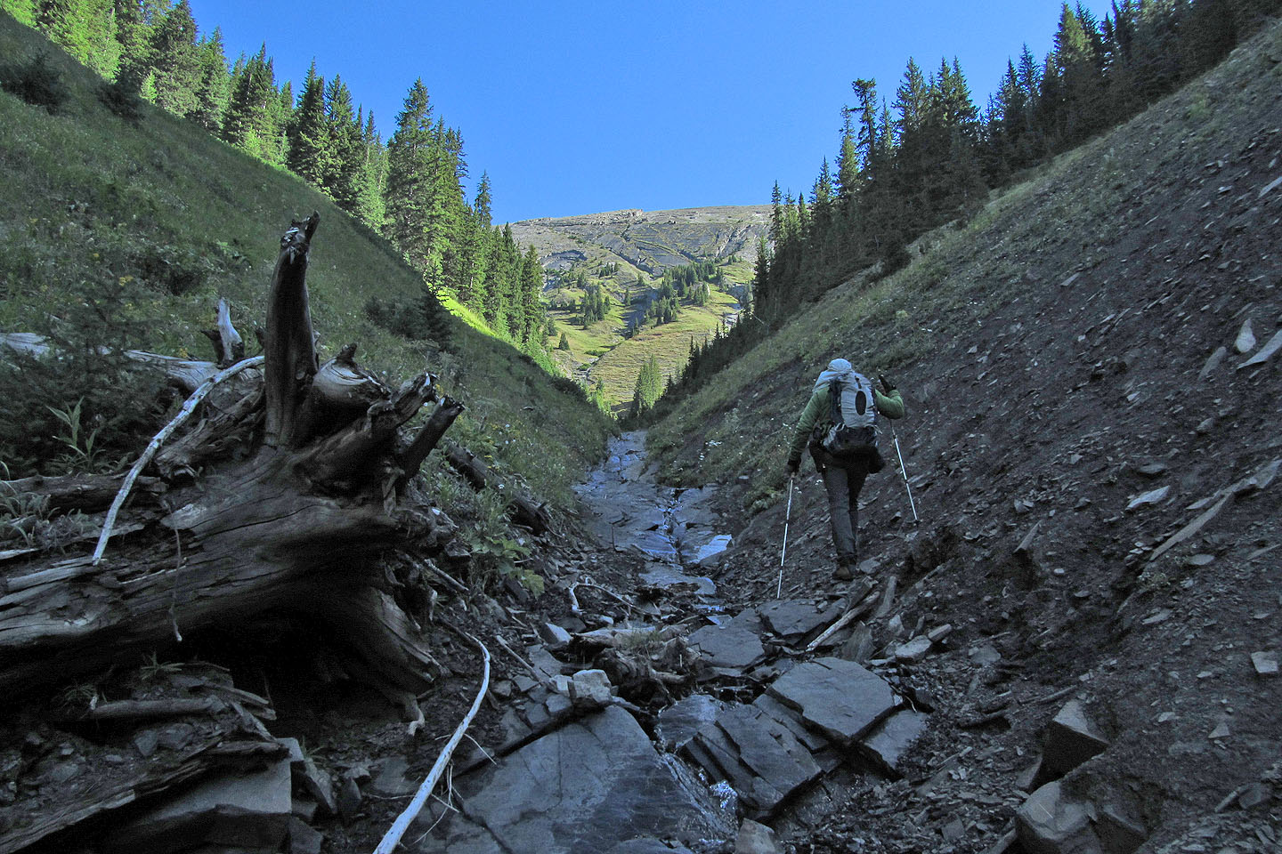
Hiking in trees alongside the creekbed, travel was easy at first. Then we encountered deadfall, slick with recent rain. When the sides of the drainage rose to make it too steep for travel, we dropped onto the creekbed. Here water flowed over smooth rock, so we had to be careful not to slip. But there were plenty of obstacles, such as steep, smooth slabs, that often forced us up onto the banks where we had to work through vegetation.
After schlepping up the drainage for an hour and a half, we came to the first fork. We knew about Andrew's amendment to Kent's route description: take the right fork and the next left fork.
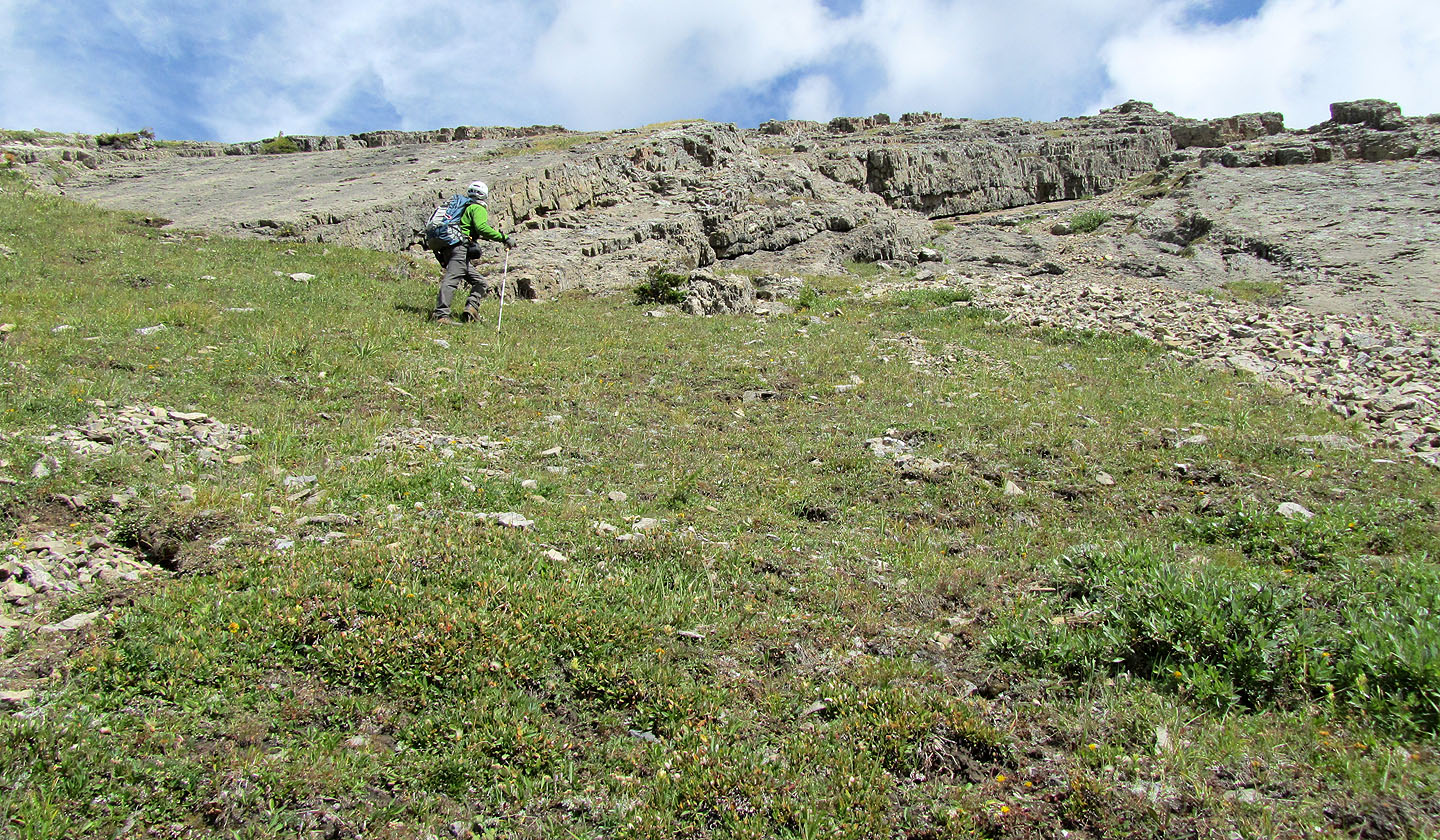
We scrambled up rock slabs and hiked alongside the drainage before reaching a notch in the slope where the gully appeared to end. Because of the lay of the land, we could see little beyond the steep slope immediately in front of us. Going left on a mix of grass and rocks looked easier, although we couldn't be sure where it led.
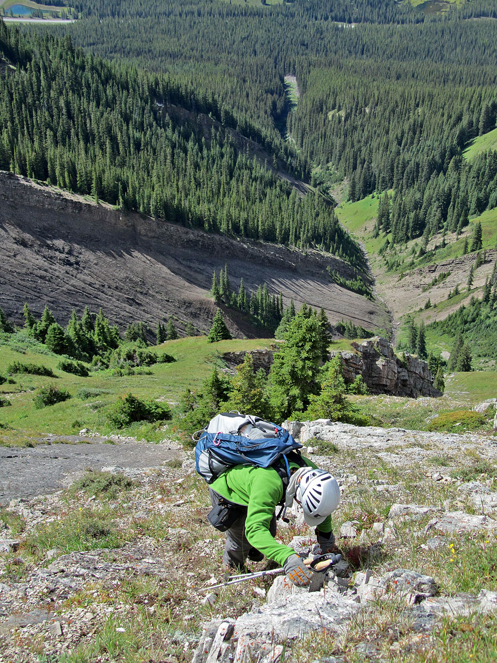
As we climbed, the grade steepened, and we wondered if we were going to be stopped by smooth, steep slabs that appeared above. However, we didn't have any problems, although the steep grade kept our hands on rock and off our cameras. After reaching easier terrain, it was largely a hike, albeit still steep, to the summit.
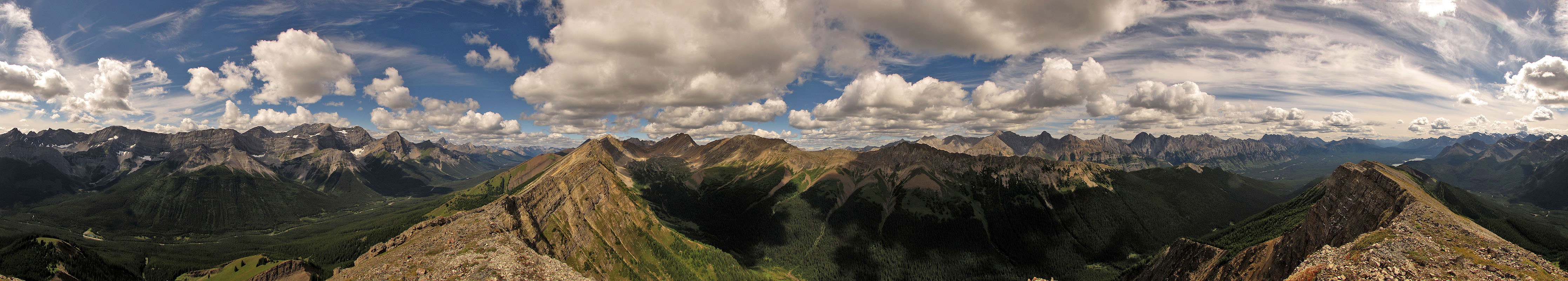
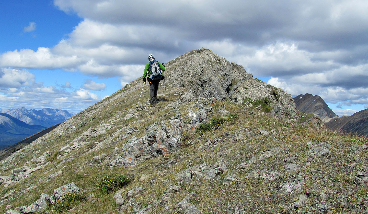
After staying for half an hour on top, we explored south along the ridge. When we came to a cliff band, however, we decided to head back down. Following the guidebook's recommended descent, we headed to the mid-slope col. Our progress, though, was often blocked by steep slopes or dense bushes and trees. We ended up traversing high and left until we reached a large drainage which must be crossed to reach the col.
Below the col, the soft, black scree of the drainage appeared inviting, but first we hiked to a high point on the other side of the col. From there we surveyed the broad slope beneath Kent's summit. We tried to pick out our ascent route but had trouble finding it in the patchwork of rock slabs.
We began our trip under blue skies, but after starting down the drainage, it began to snow, snow pellets actually. It snowed all the way back to the car. We were thankful to have missed the snow while on the steep slabs and grassy slopes.
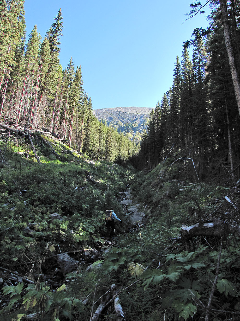
Following the drainage
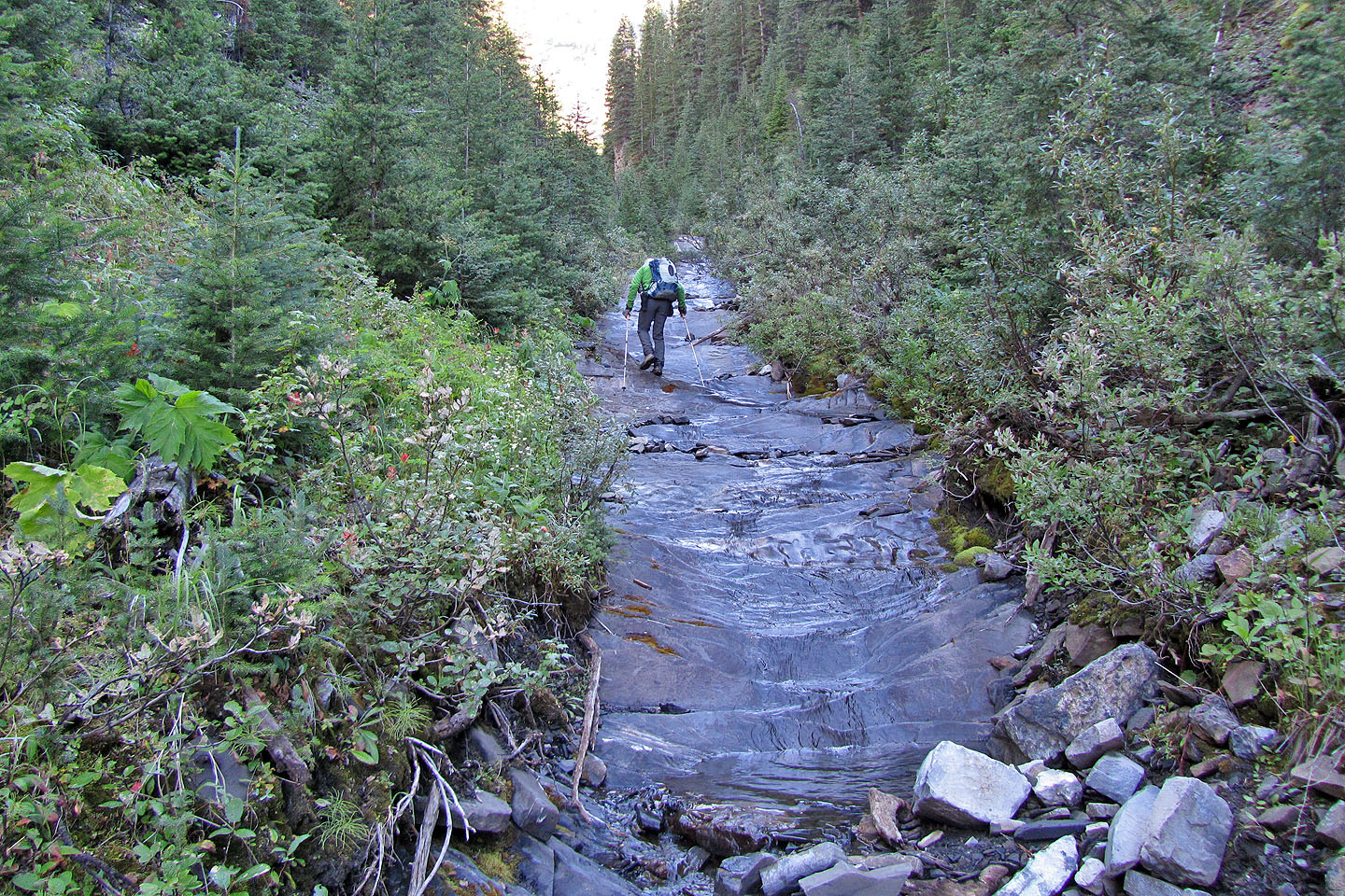
Flowing water made the creekbed was slippery
The drainage forks ahead
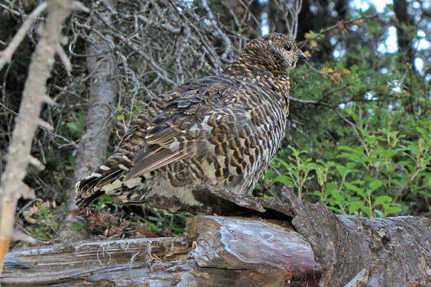
We passed a grouse
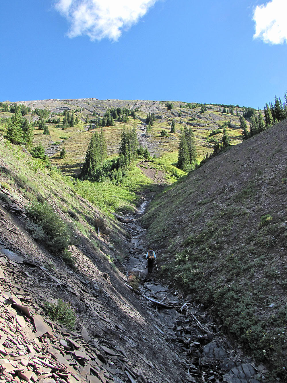
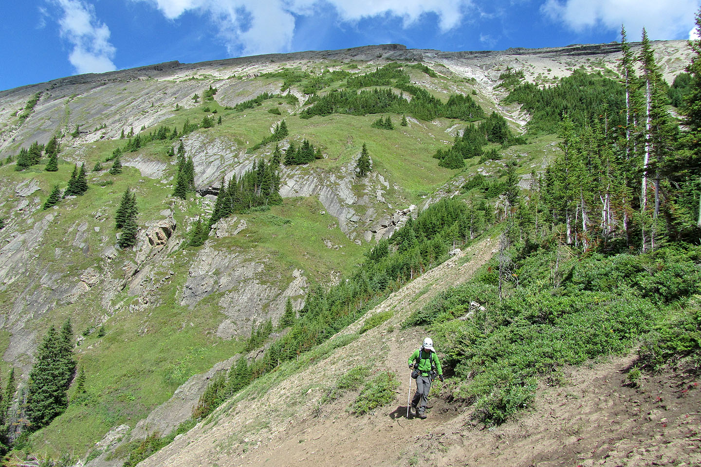
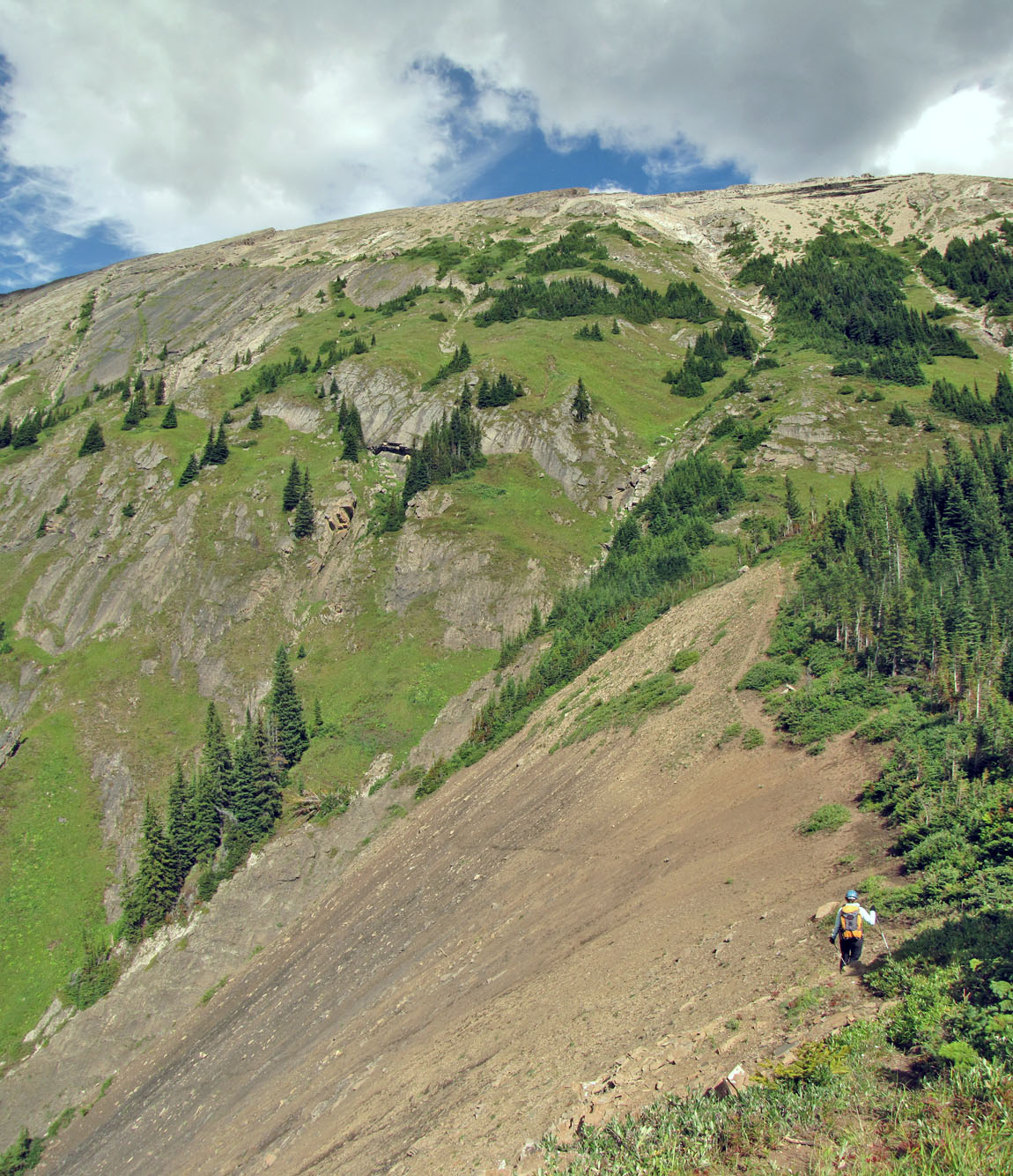
The gully splits ahead, but we'll continue up the slope
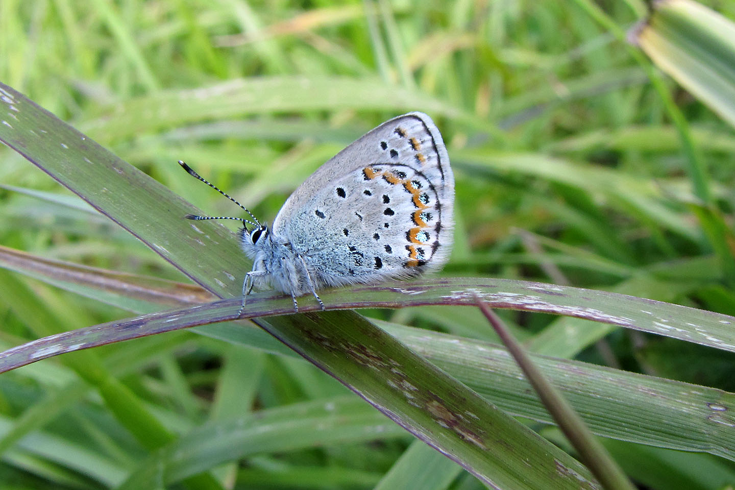
Unknown butterfly
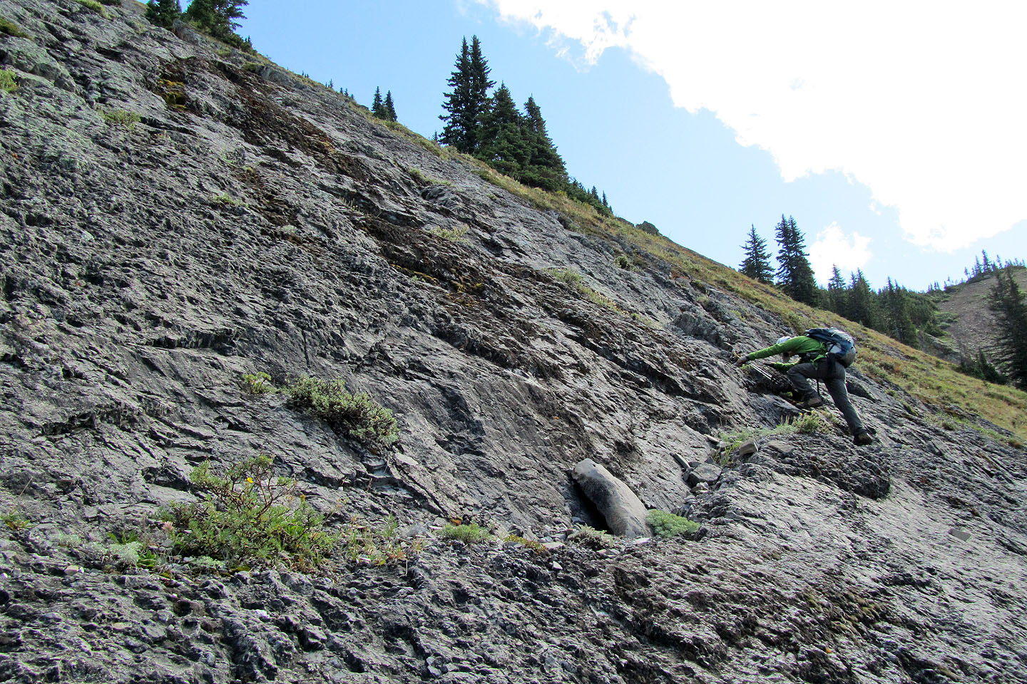
Climbing the first slabs

Dinah and I ascended on either side of this slab as it was too smooth and steep to scramble
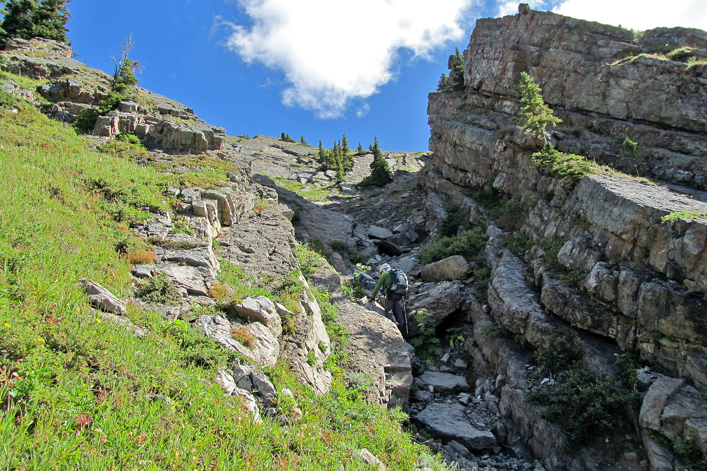
The gully ends here, and we headed left
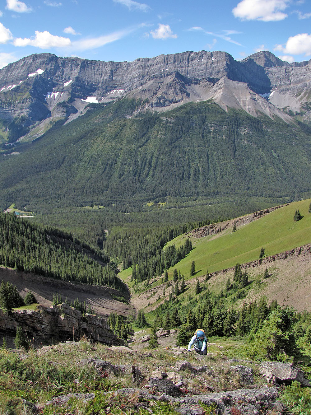
Climbing on a mix of grass and rock
Behind us, several peaks have come into view
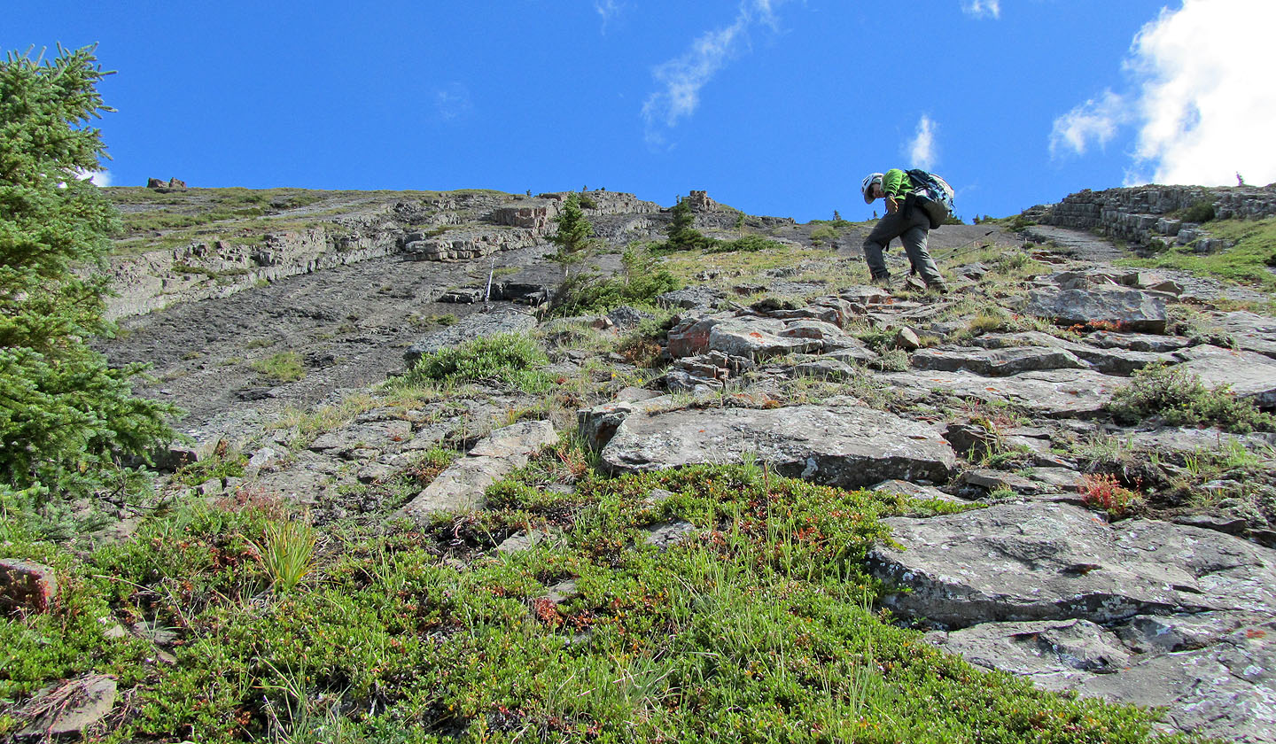
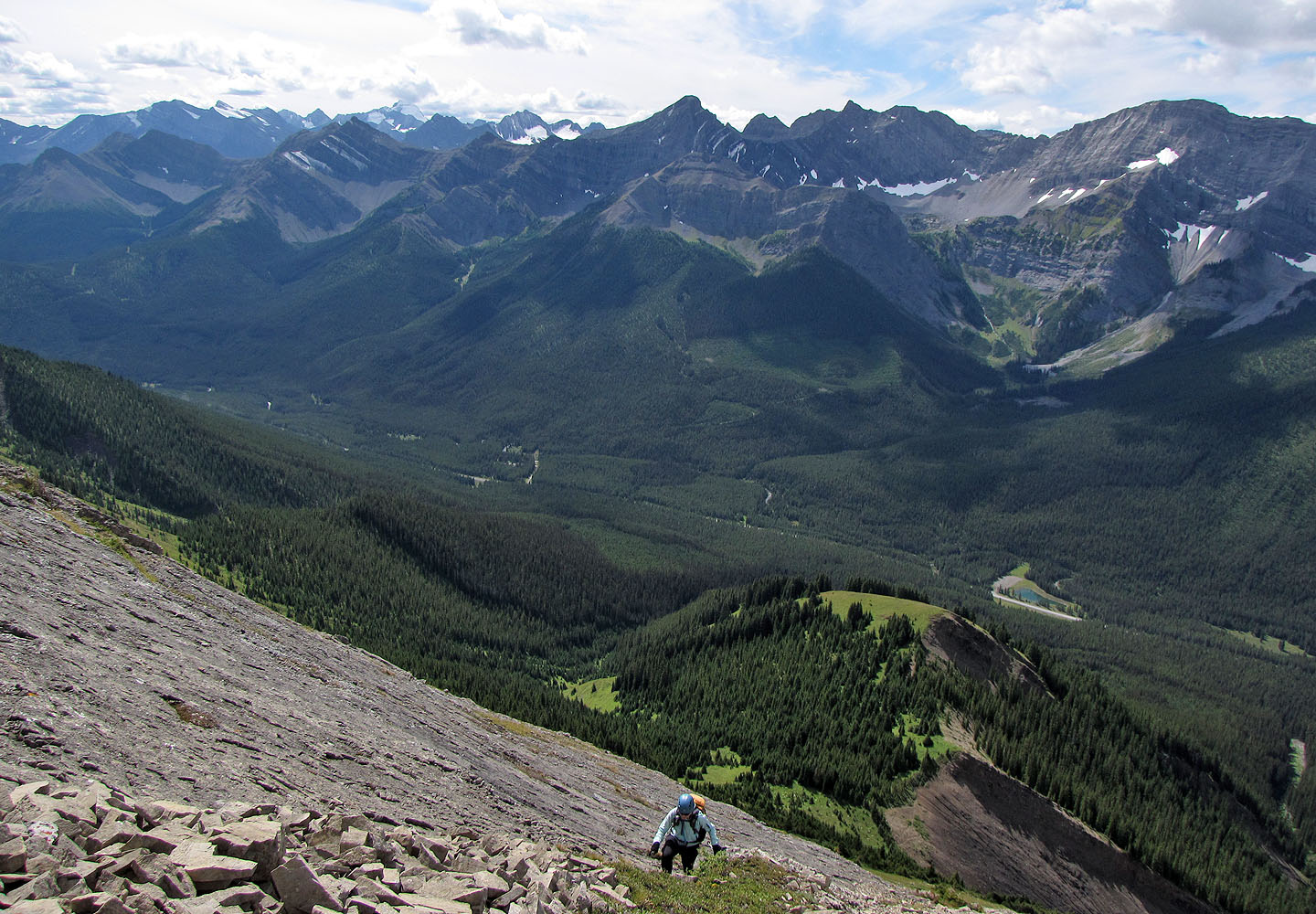
Steep slabs all around us
Grass or rock, it's all steep
Left or right? We went left, alongside slabs, but ascending the low cliff band would work too.
When we reached the ridge, we were less than 100 m from the summit
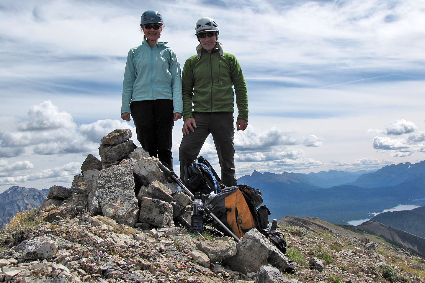
On top of Mount Kent
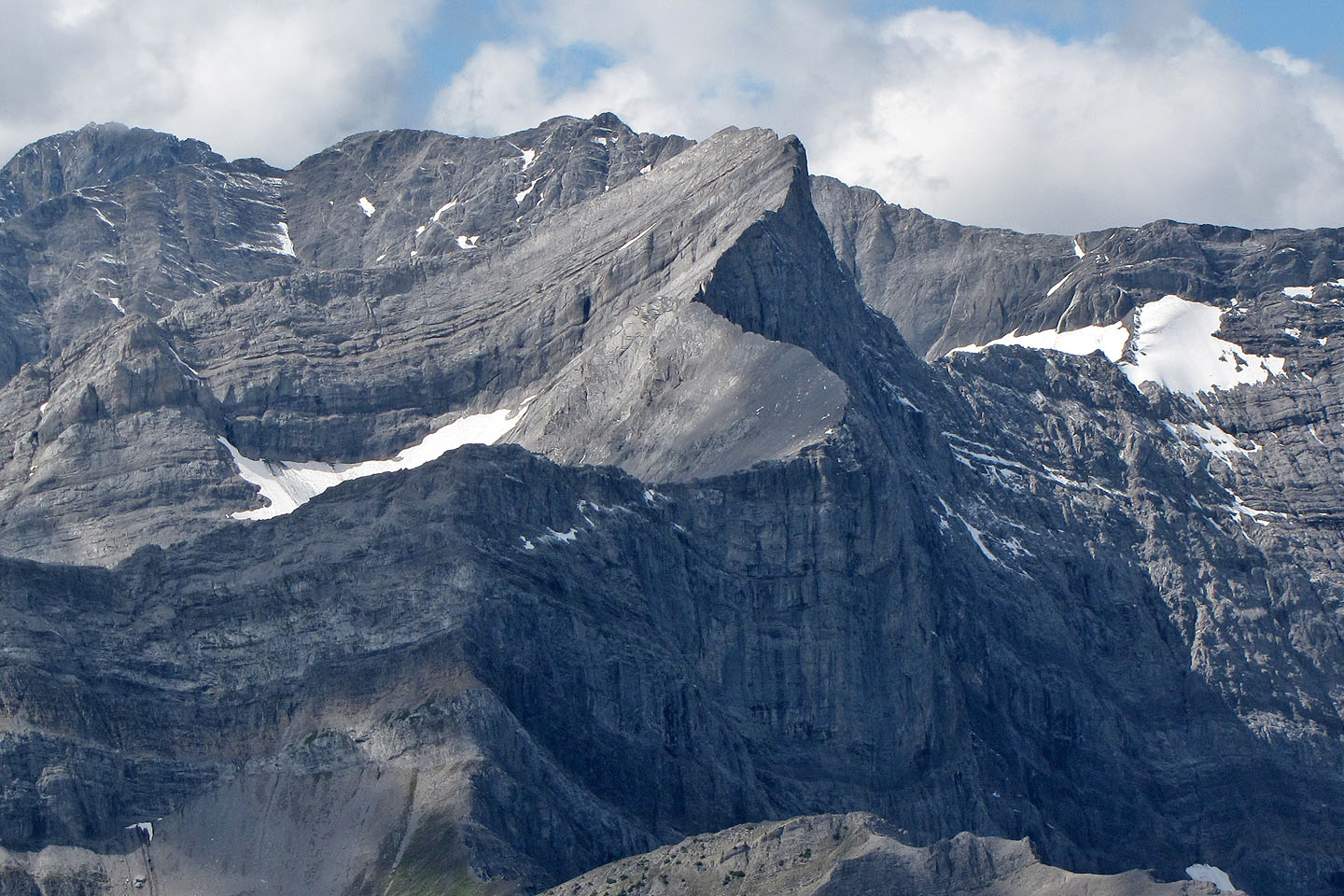
The curving ridge of Mount Smith Dorrien caught my attention
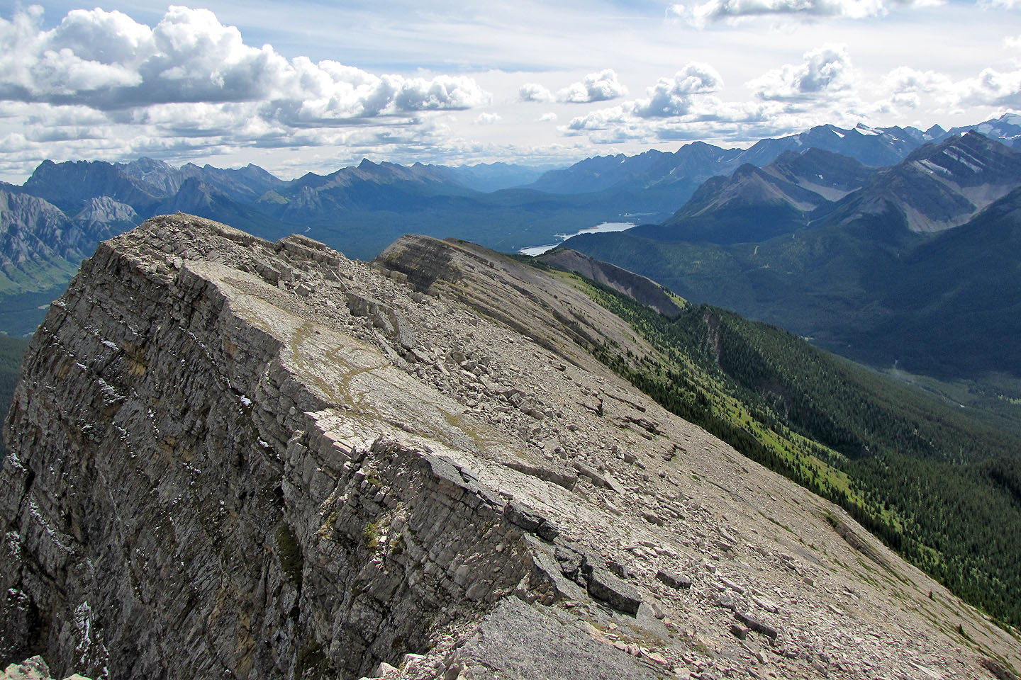
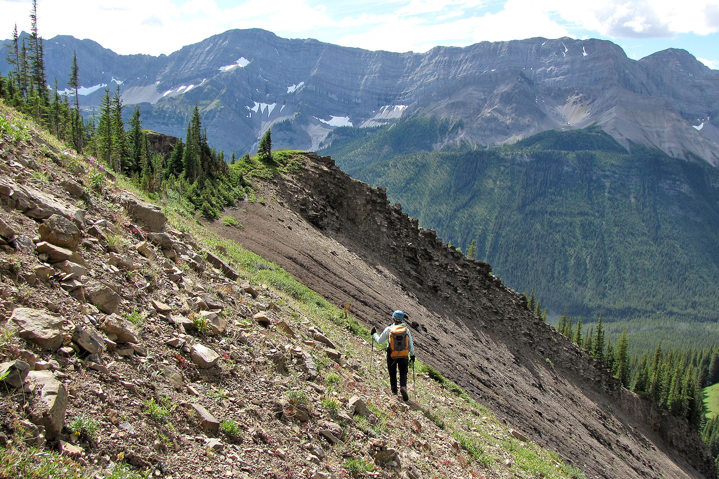
Looking southeast along the ridge
To reach the col below, we had to cross a drainage (mouse over to look up the drainage)
Crossing the col
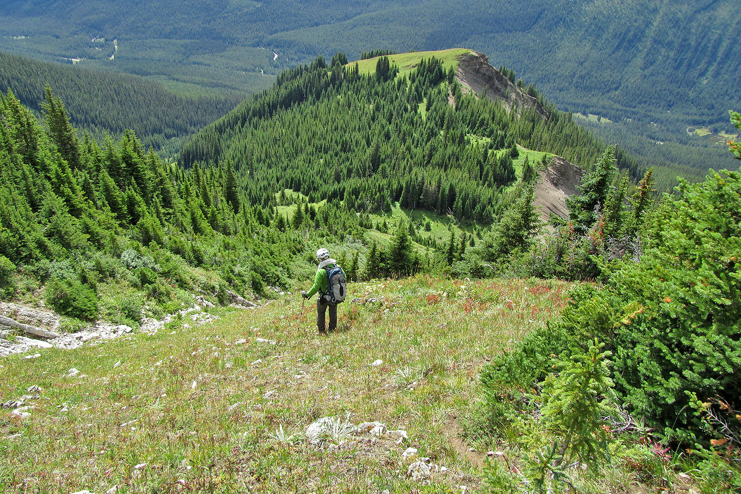
Before going down on our right, we stopped at the high point ahead
Looking back from the point: our ascent route was somewhere in the slabs on the left
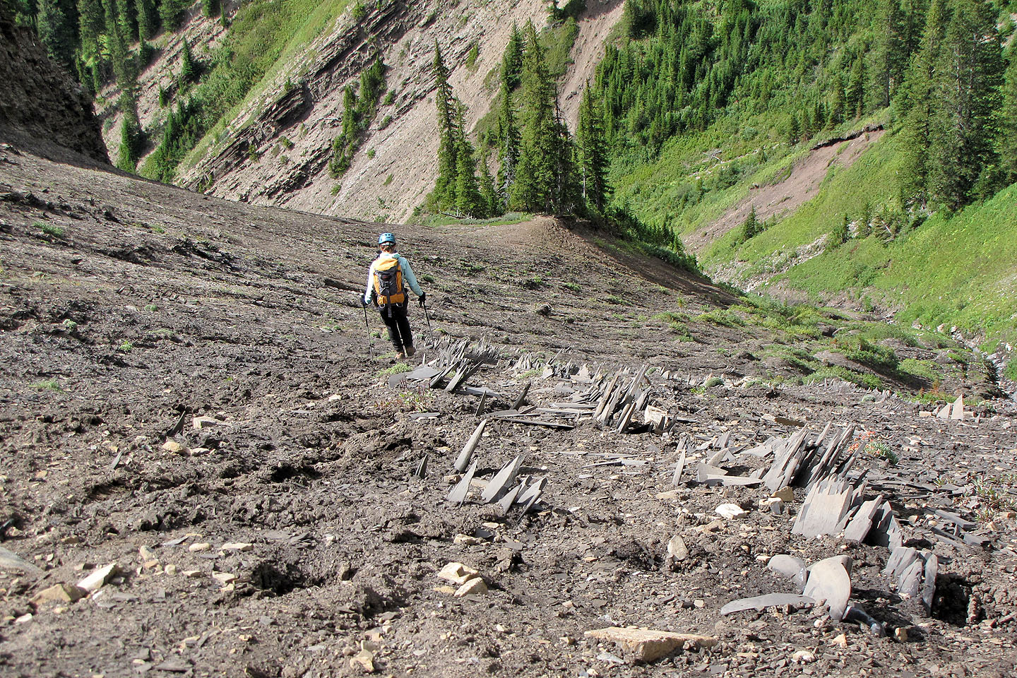
While heading down the drainage, we passed stegosaur plates
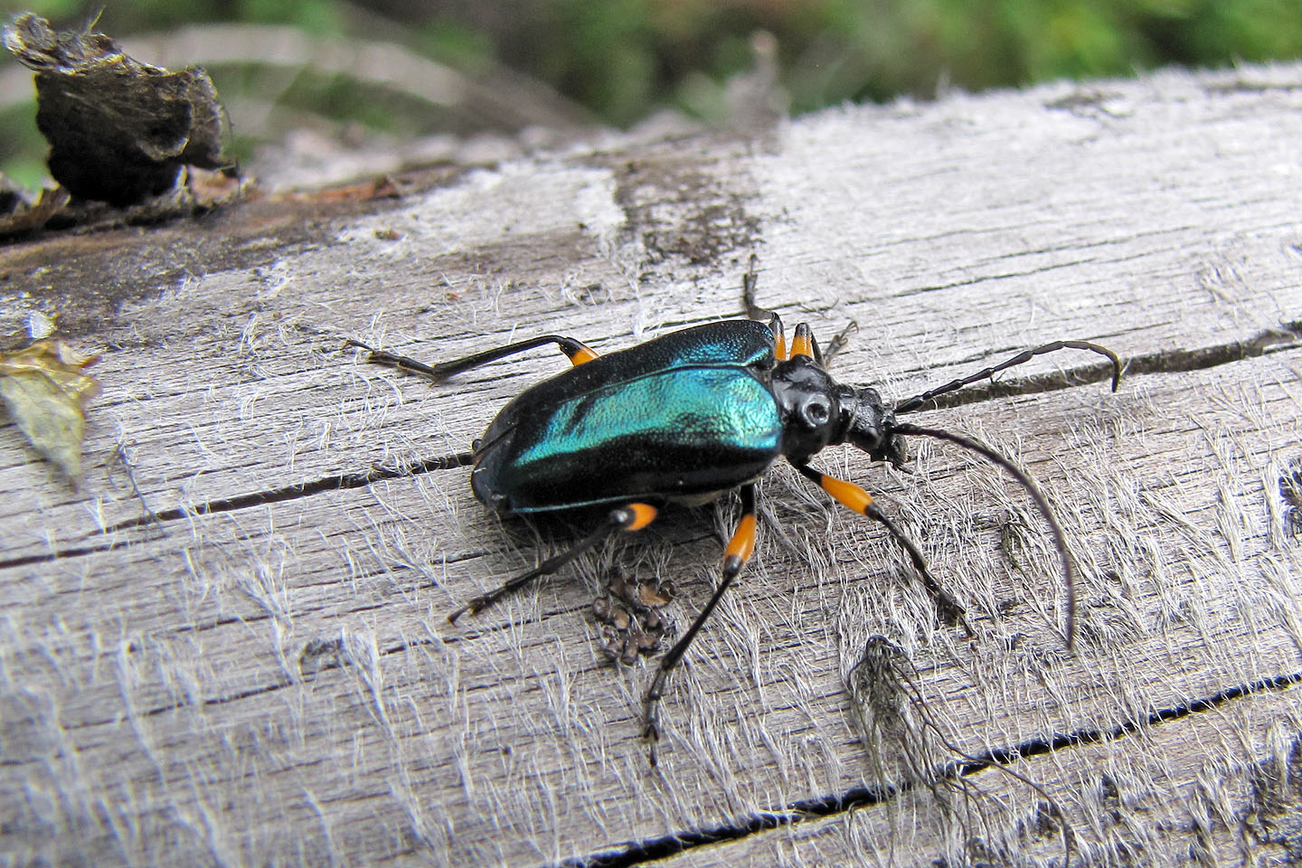
Shiny beetle
82 J/11 Kananaskis Lakes