bobspirko.ca | Home | Canada Trips | US Trips | Hiking | Snowshoeing | MAP | About
Avion Ridge and Newman Peak
Waterton Lakes National Park, Alberta
August 30, 2008
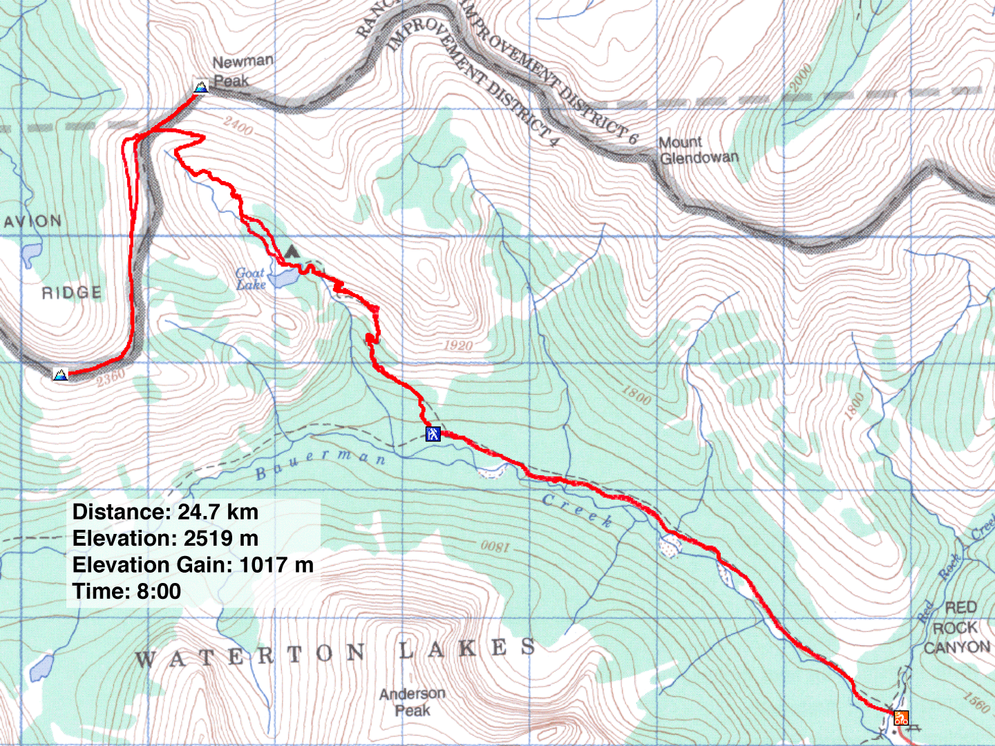
Distance: 24.7 km (15.3 mi)
Cumulative Elevation Gain: 1256 m (4121 ft)
After seeing Newman Peak from Spionkop Ridge a month ago, Dinah and I wanted to climb it. Newman Peak, along with Avion Ridge, is easily reached from a col above Goat Lake. To save time and effort, we biked nearly five kilometres up Snowshoe Trail to the side trail leading to the lake. The trail leading to the lake was more interesting than I expected. After winding through the forest, it cuts high along an open slope and then runs alongside a creek lined with waterfalls before reentering the woods and reaching the lake.
After the lake, the trail crosses a forested basin, climbs through two headwalls and ends at the col below Newman Peak. Leaving Newman Peak for later, we turned our backs to it and turned to Avion Ridge. We easily scrambled up the red shale ridge to a shoulder. (Later, on the return, we realized we could've avoided this climb by taking a trail that drops down the right side from the col.) Rather than continue ascending the unnamed ridge that leads to Avion Ridge, we opted to traverse a faint trail on the slope until it reached the main trail we had missed. This path leads to the summit of Avion Ridge.
Four hours after starting, we were taking in the views from the summit. Afterwards, we hiked back to the col and climbed almost 200 m to the top of Newman Peak. The views didn't disappoint, and we enjoyed the sight of the colourful peaks in Castle Provincial Park. The traverse to Spionkop from Newman looked much more benign than the traverse that we had done from Loaf Mountain.
We considered going on to the higher unnamed peak west, but the wind had picked up and clouds were moving in. We retraced our steps back to our bikes and began cycling down Snowshoe Trail. We were less than a kilometre from the trailhead when we noticed a black bear with two cubs less than thirty metres from the trail. We talked loudly to alert them of our presence and walked our bikes past them, but they seemed too intent on eating berries to notice us. We returned to the parking lot without further interruptions.
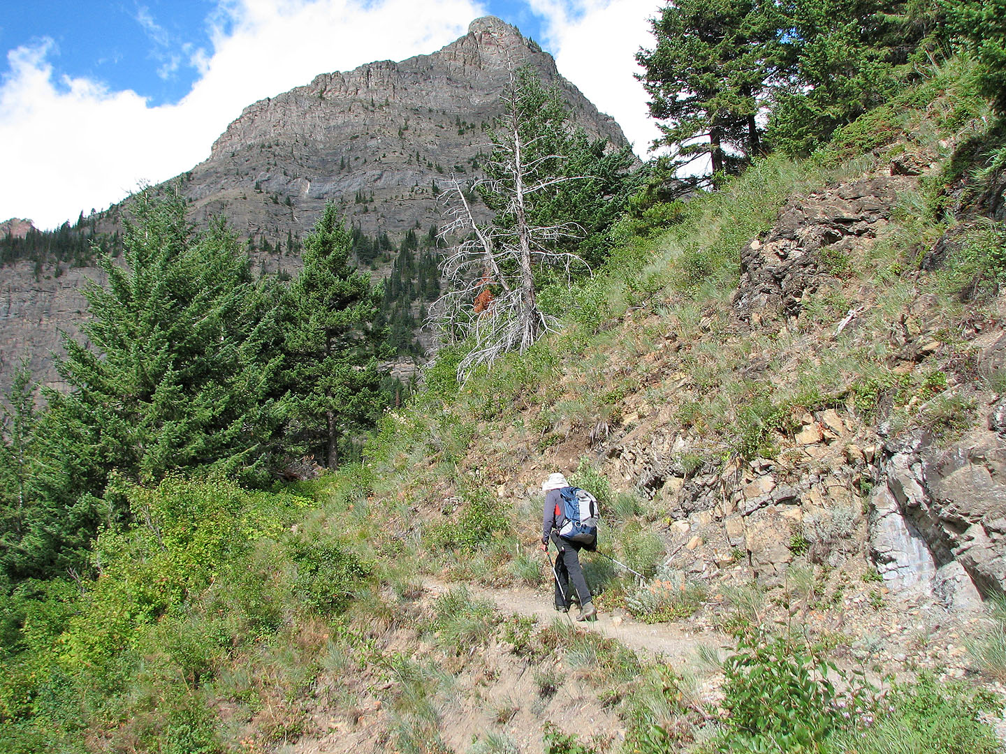
On the trail to Goat Lake
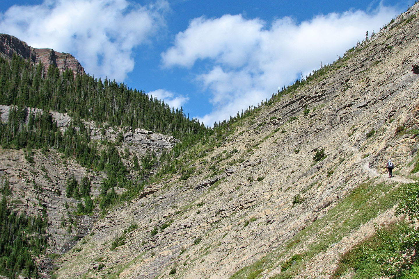
The trail wends left eventually meeting the waterfalls on the left
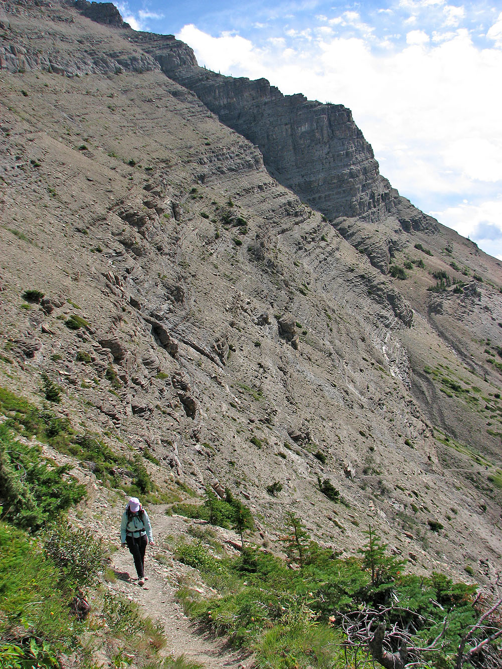
Looking back along the trail
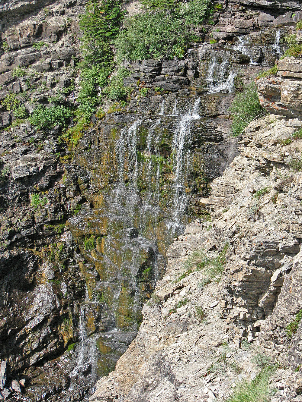
One of several small waterfalls
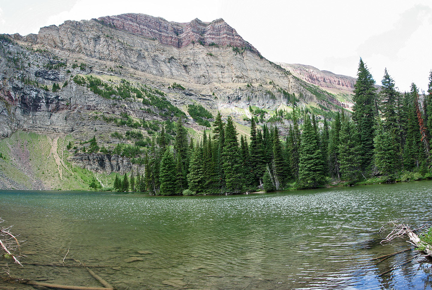
Goat Lake
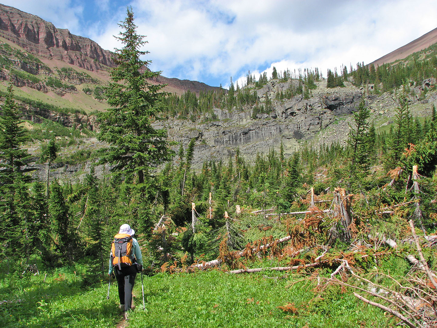
A recent windstorm snapped off trees
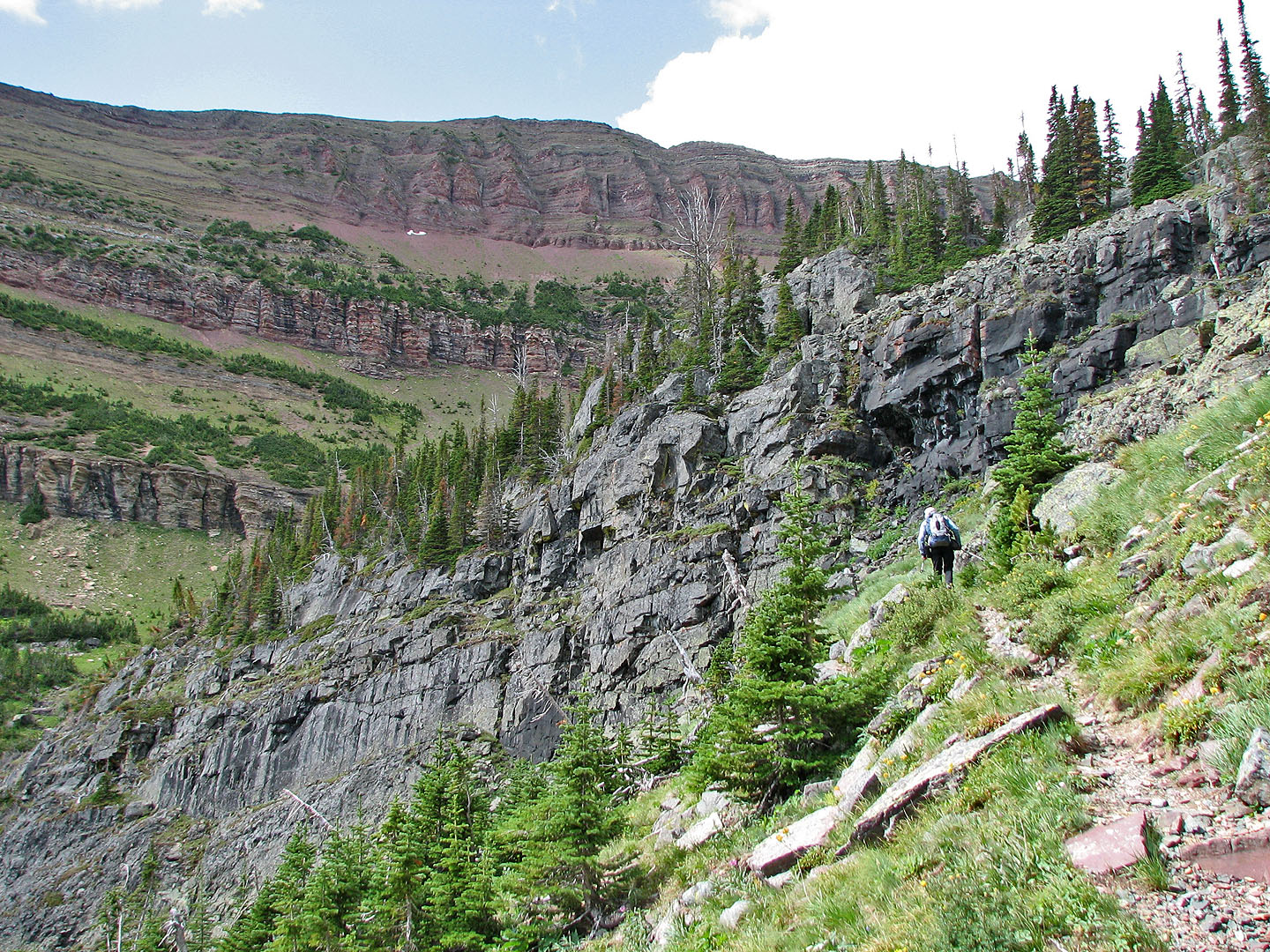
At the first headwall, the trail goes right
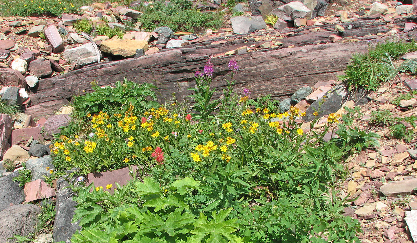
Still an abundance of wild flowers late in the season
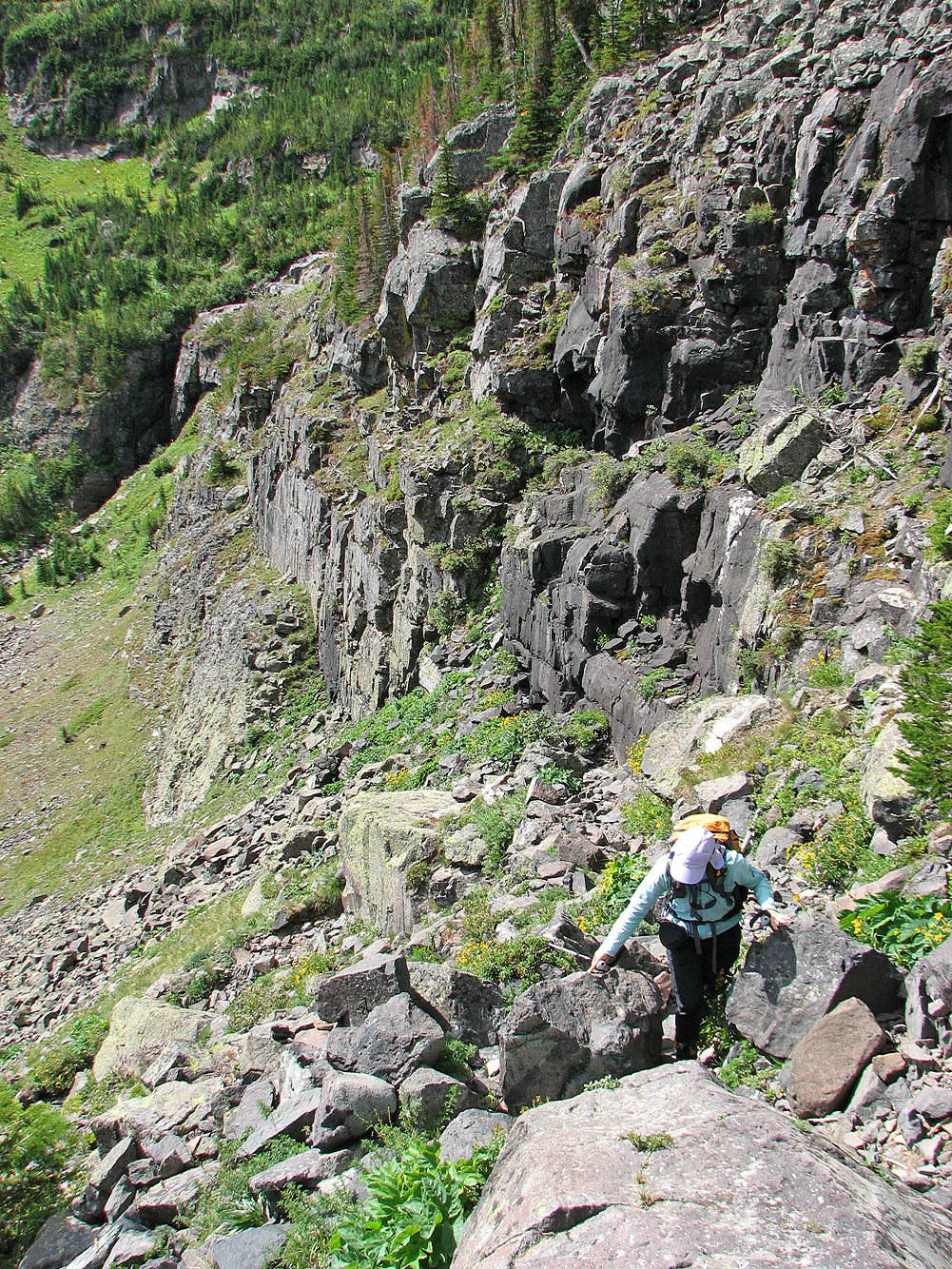
Ascending a weakness in the headwall
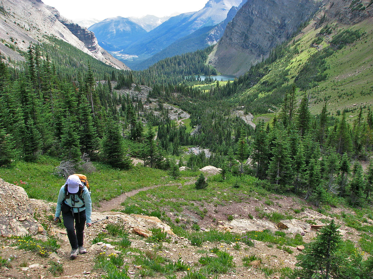
Looking back at the lake as we approached the second headwall
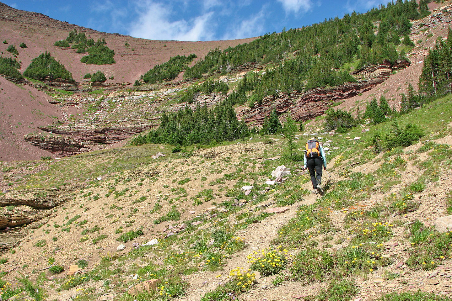
After this point, the trail swings right and then left
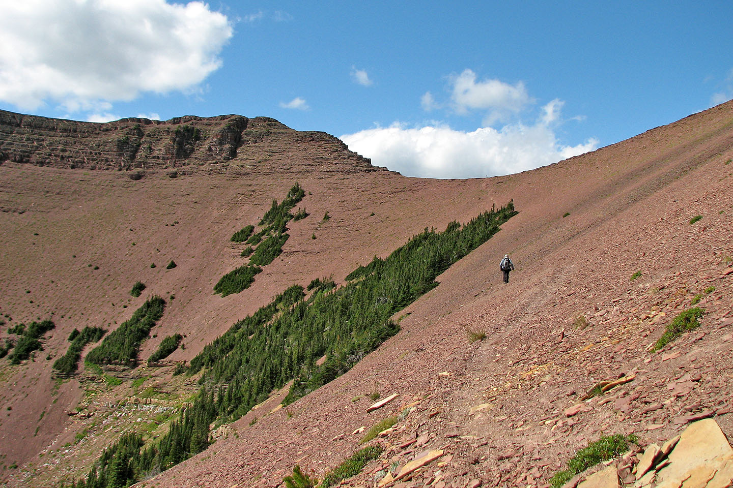
The trail cuts into red shale as it leads to the col
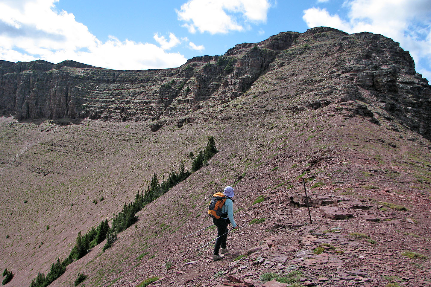
From the col we'll scramble up the ridge in from of us
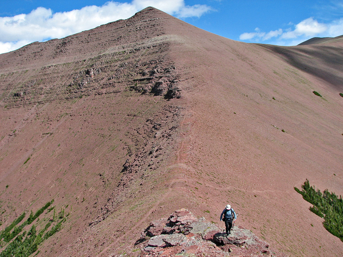
We followed the ridge towards Avion Ridge. On our return, we took the trail below (left in the photo) and
avoided gaining elevation. Newman Peak fills the background.
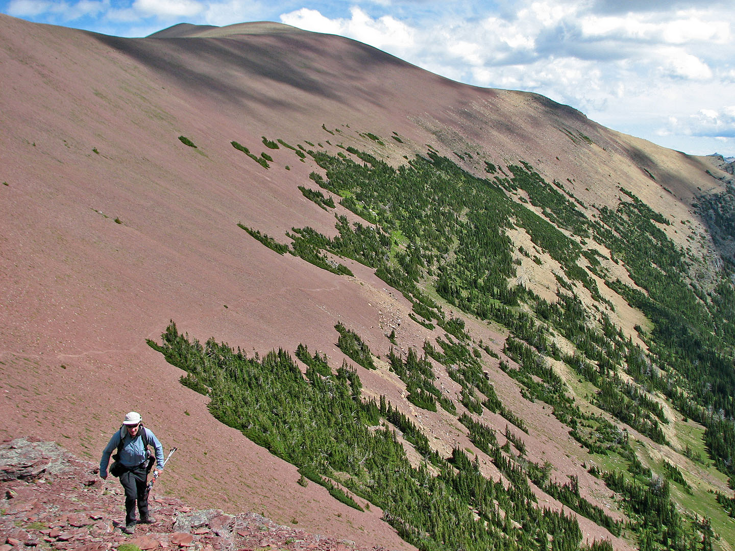
Behind us is an unnamed peak west of and higher than Newman Peak
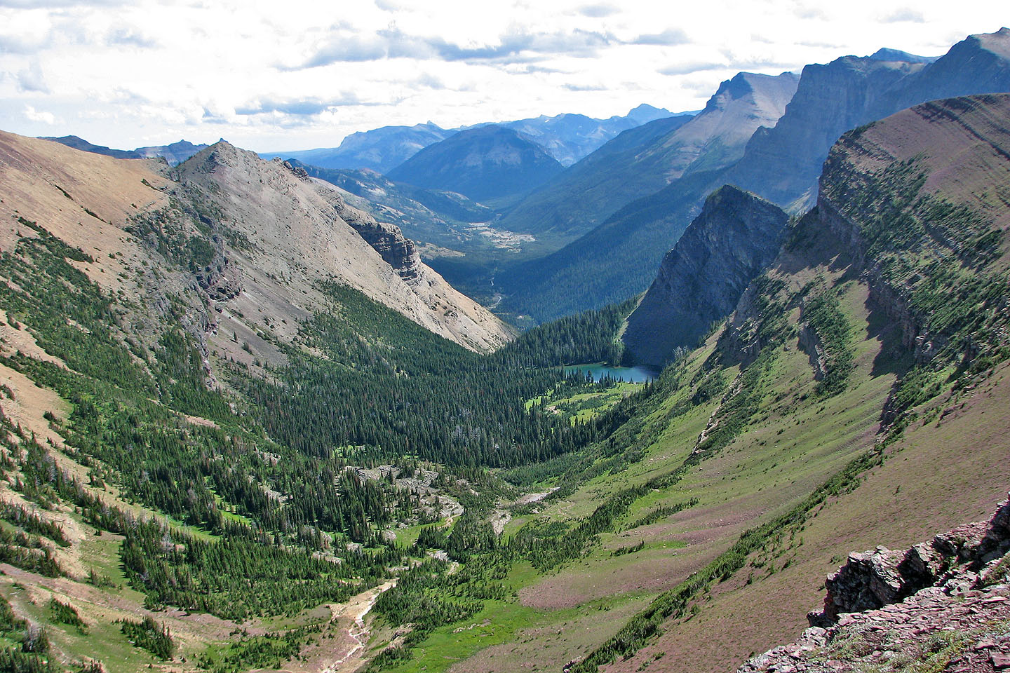
Looking down at the valley we hiked up
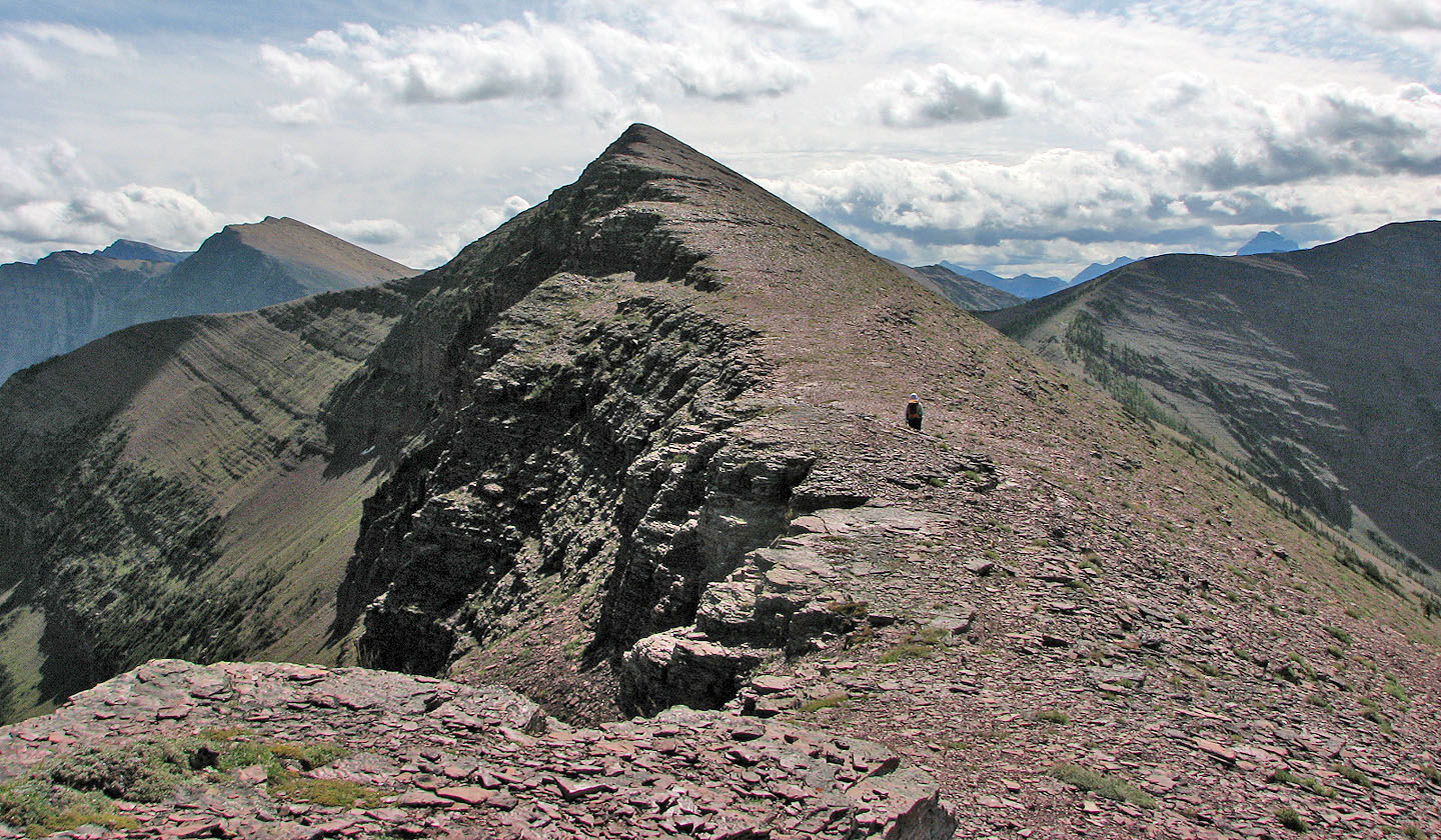
View from the shoulder: we kept right and followed a faint trail in the scree. Avion Ridge on the right.
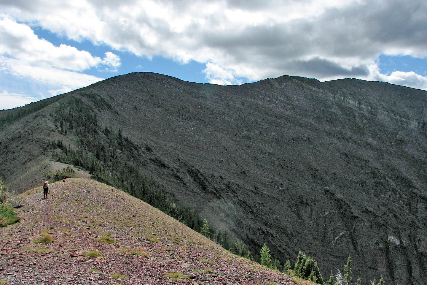
It's an easy walk to the summit of Avion
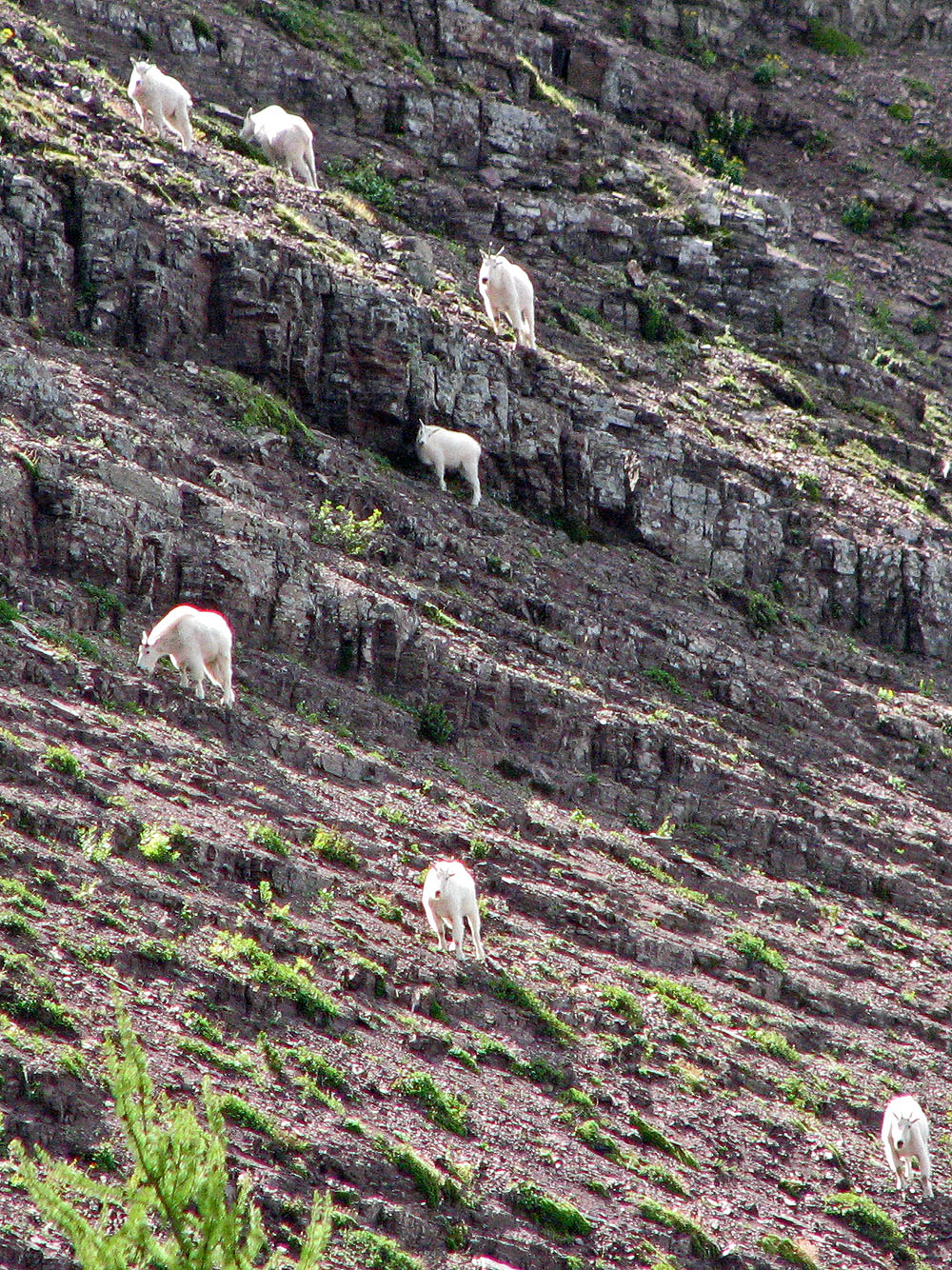
Mountain goats below Avion Ridge
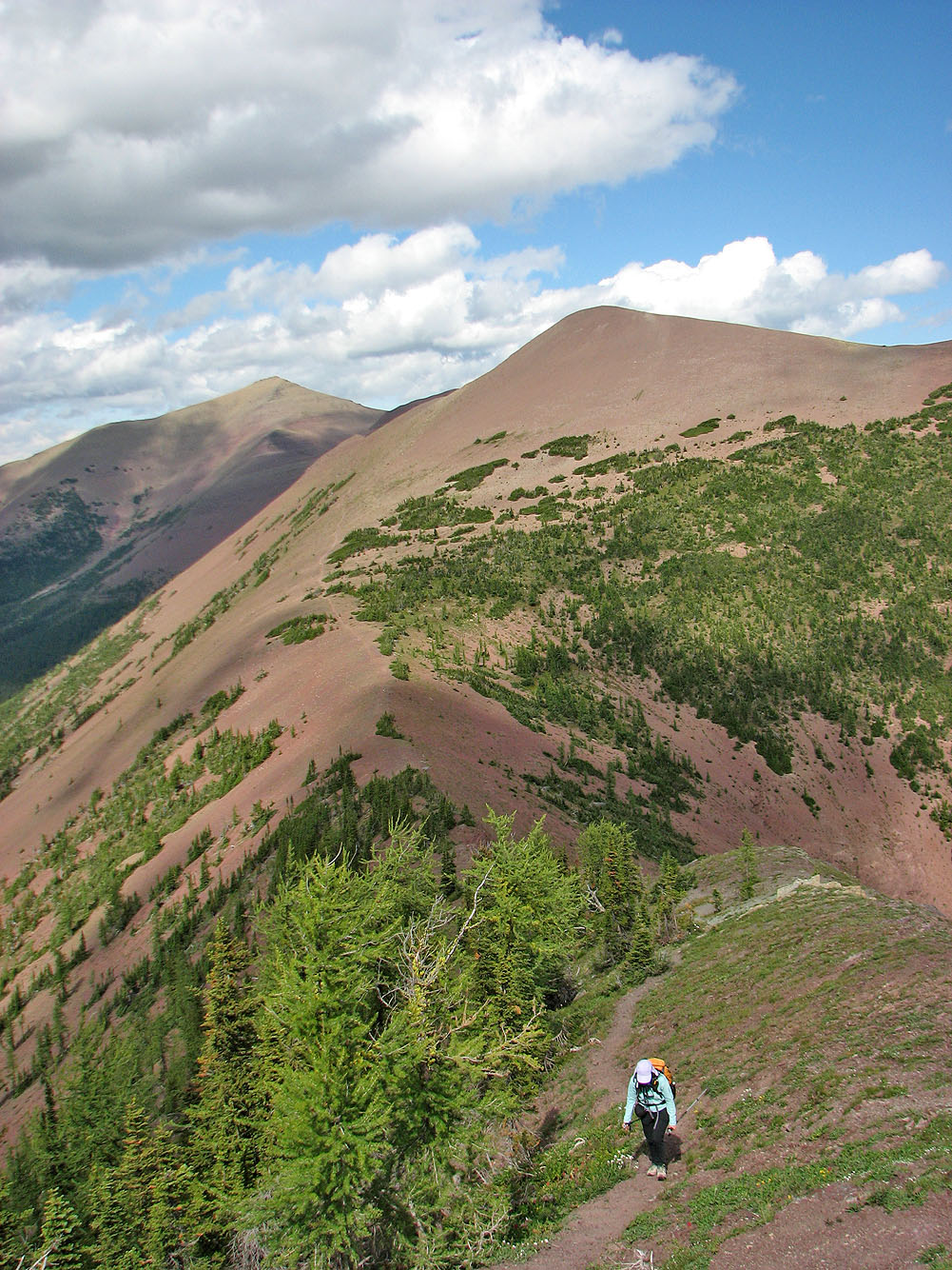
Looking back at the slope we traversed (note the trail below). Spionkop Ridge on the left.
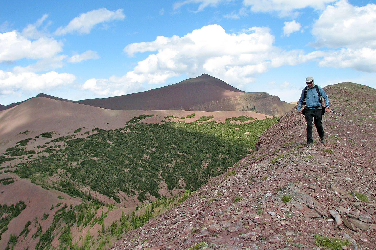
Approaching the summit. Newman peak is on the left, mostly hidden
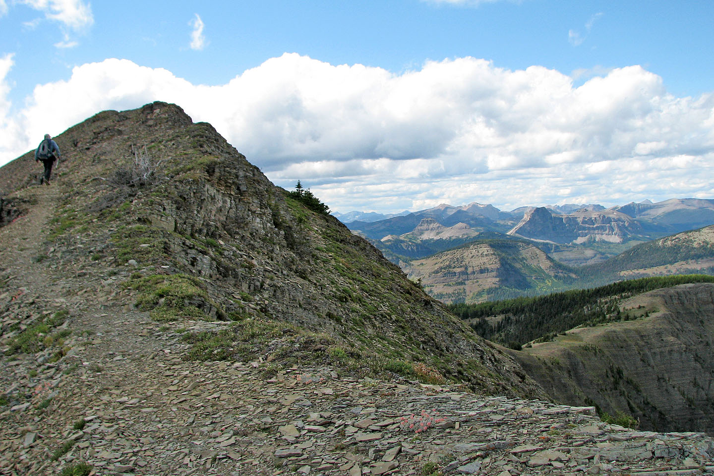
A trail leads to the top

Panorama from the top of Avion Ridge
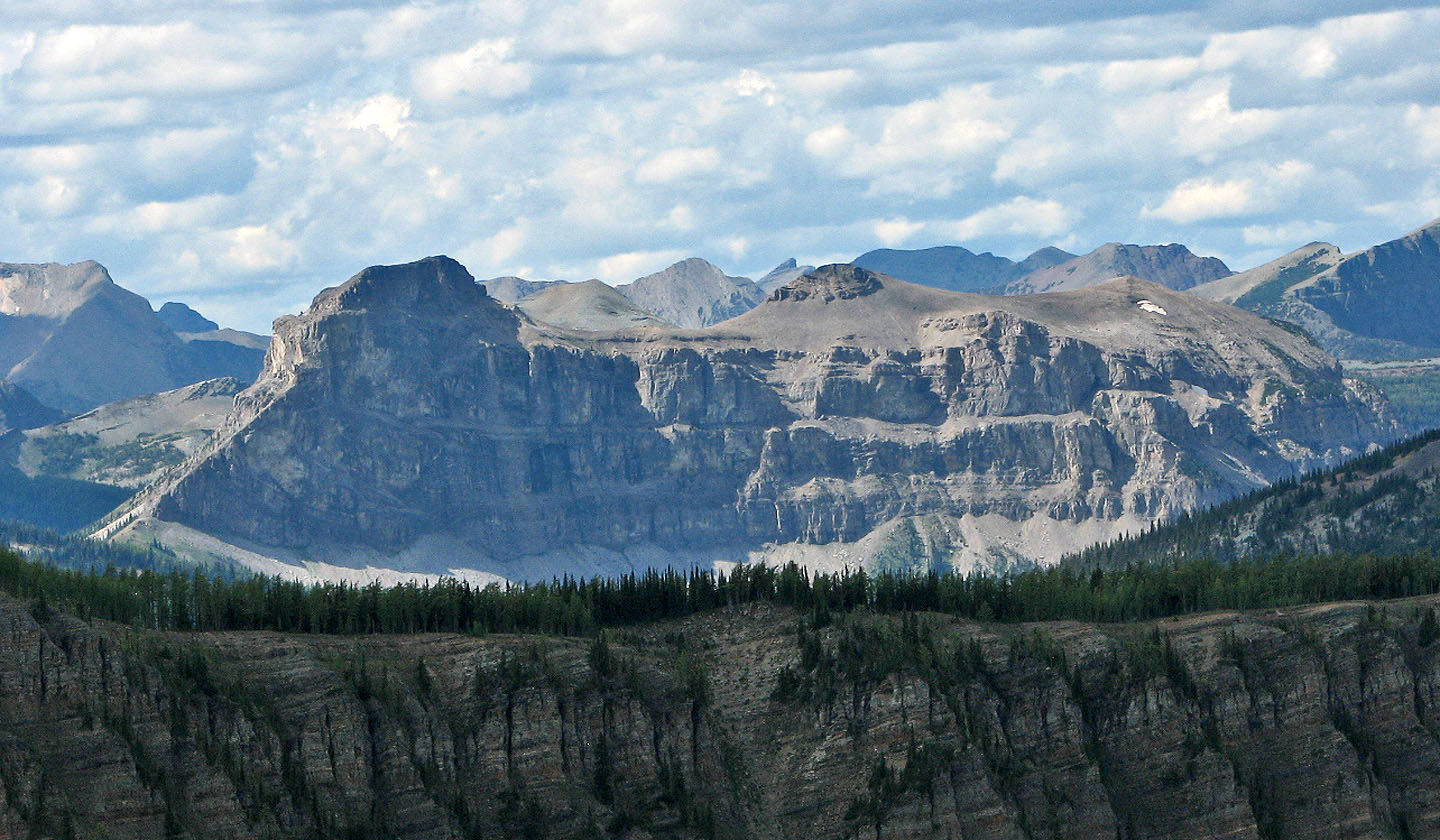
Sage Mountain
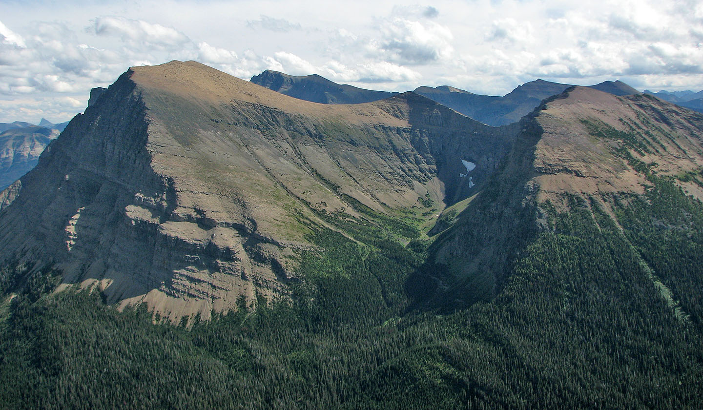
In the foreground (left and centre): Anderson Peak and Lost Peak
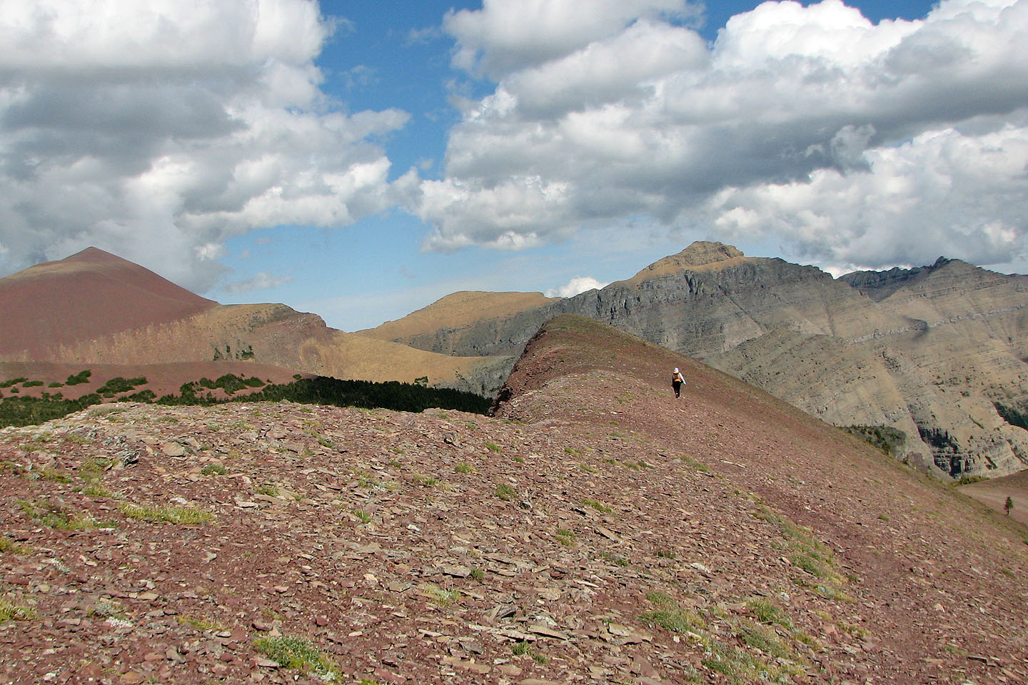
Heading back from the summit, Mount Glendowan (above Dinah)
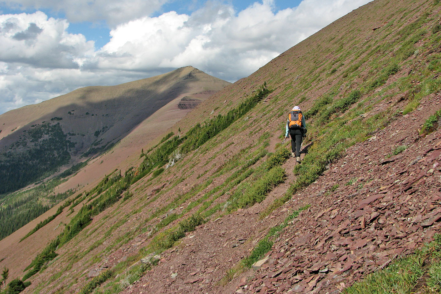
We took the main trail back to the col
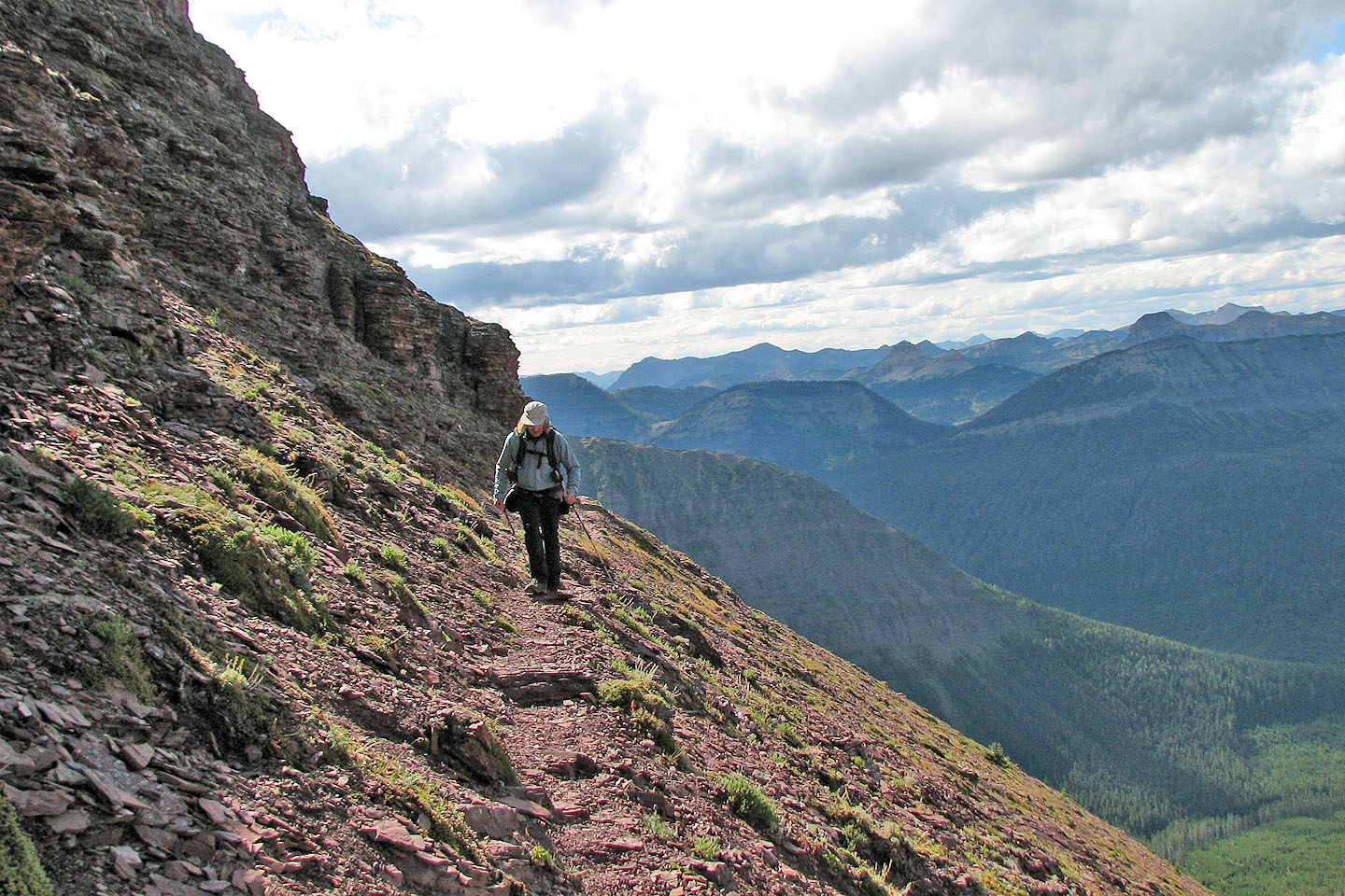
Looking back
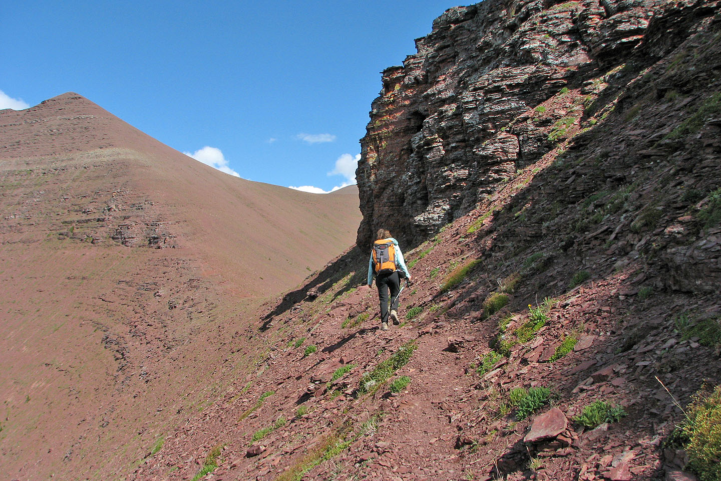
Heading to the col with Newman Peak ahead
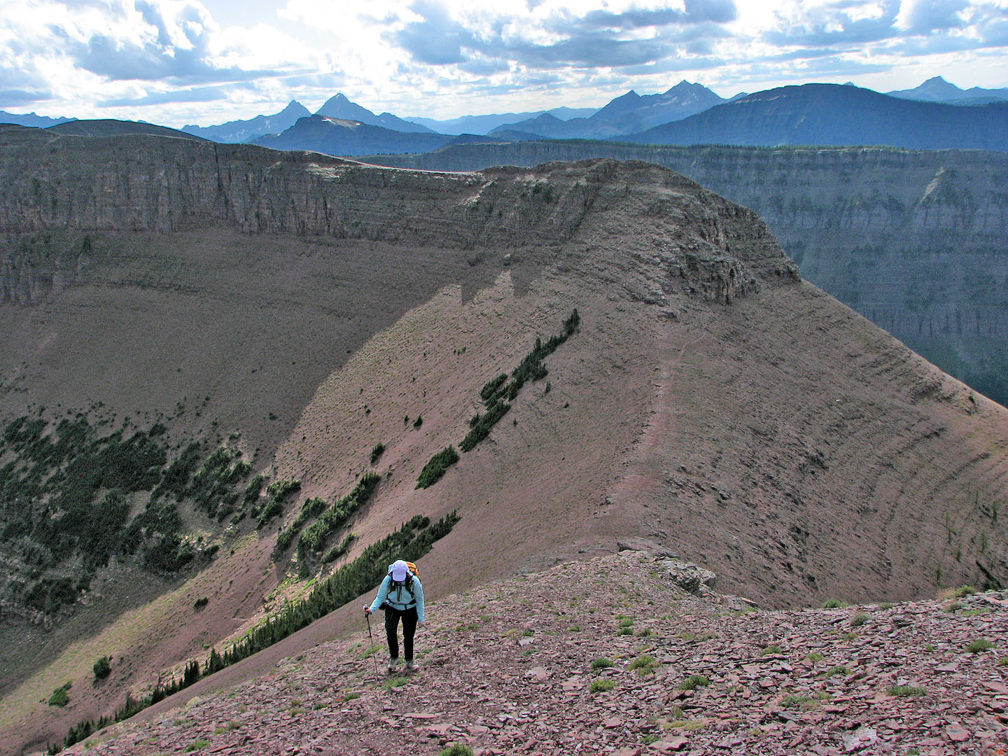
Partway up Newman
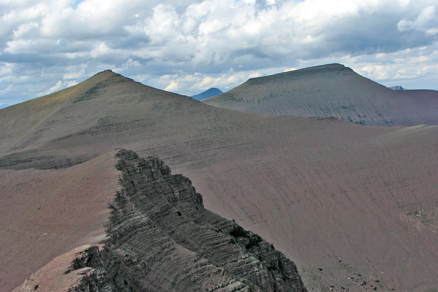
Spionkop Ridge and Loaf Mountain from the summit of Newman
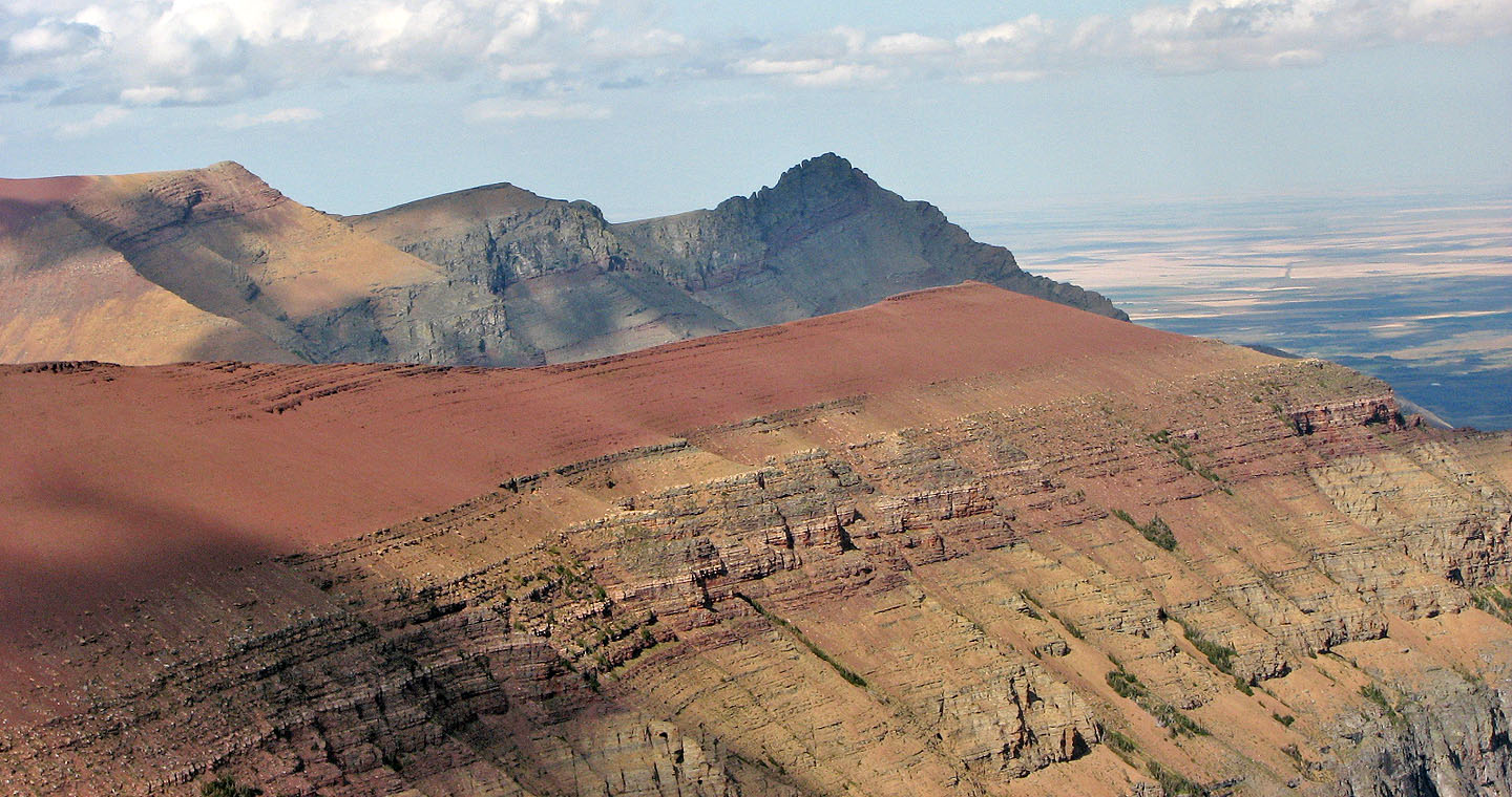
East End of Loaf Mountain (dark
point in the centre)
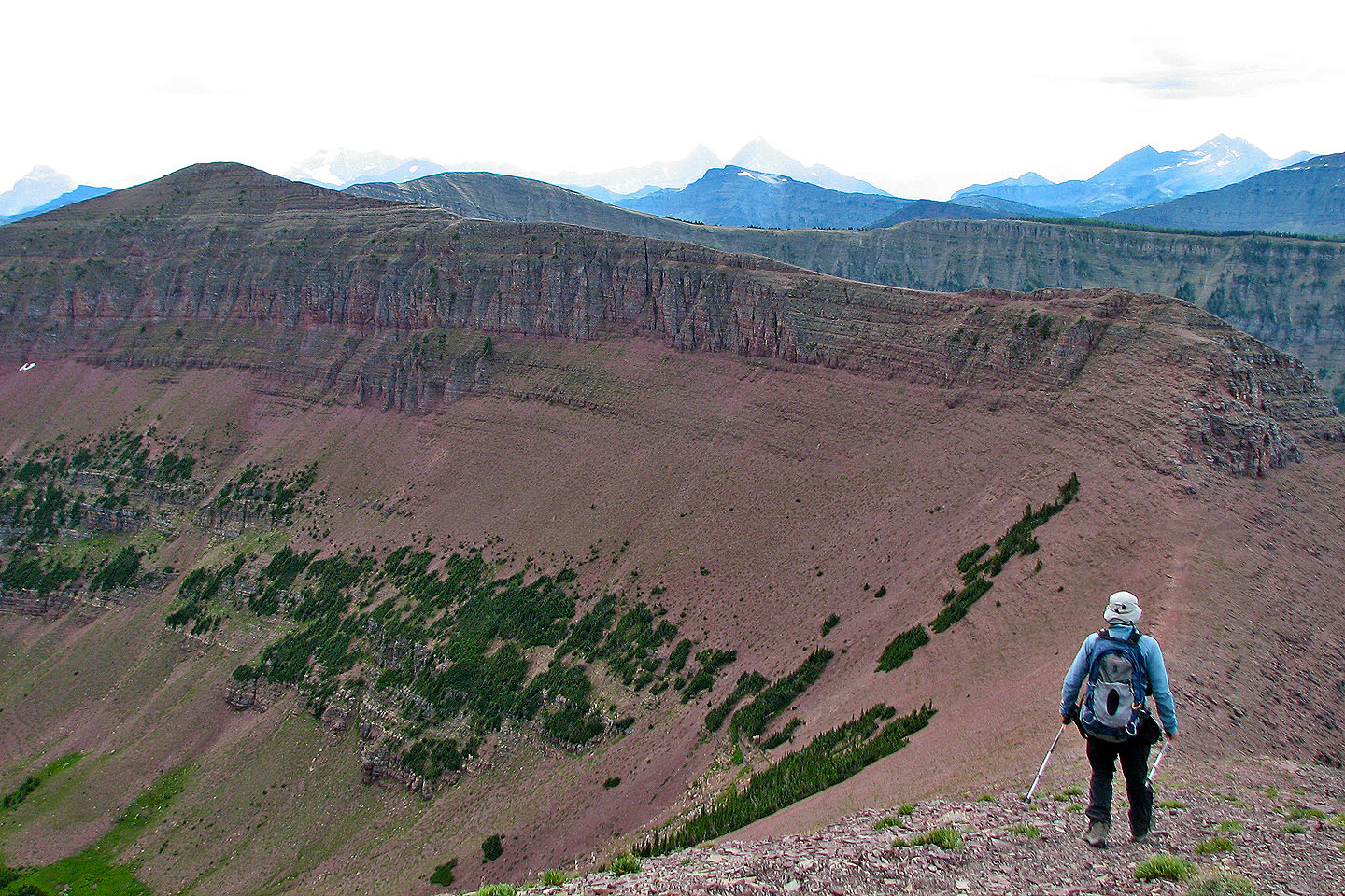
Leaving the summit. Avion Ridge is the second bump from the left.
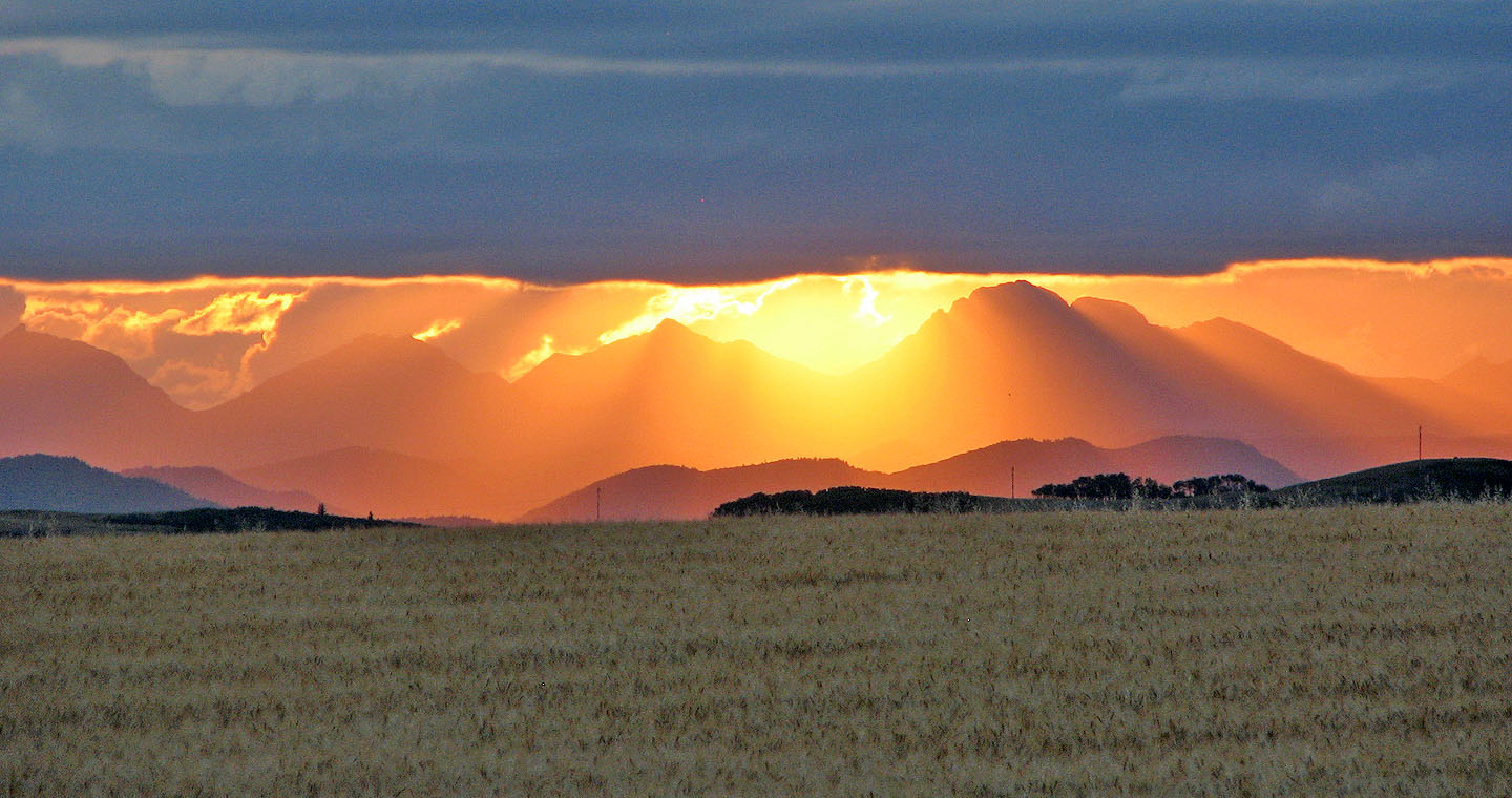
Sunset on the drive back to Calgary
82 G/1 Sage Creek

