bobspirko.ca | Home | Canada Trips | US Trips | Hiking | Snowshoeing | MAP | About
Panorama Ridge
Lake Louise, Alberta
June 19, 2004
Distance:12.5 km (7.8 mi)
Cumulative Elevation Gain: 1000 m (3281 ft)
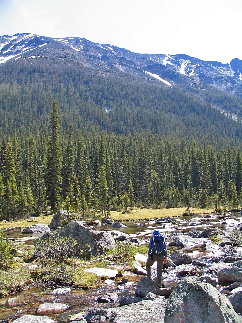
It's a slog going up the gully, but Panorama Ridge is worth the climb because of the views. After hiking up Consolation Lakes trail, Dinah and I tried to cross the creek too soon. It's better to continue up a ways where logs and rocks make crossing easier.
After crossing, we headed to the broad ascent gully. The slog up seemed interminable, so we were glad when we reached the ridge. A short ridge walk led to the summit. After summiting, we headed to the east peak, but there was too much snow to continue, so we descended the nearest gully. Even so, the loop provided extra scenery in this scenic area.
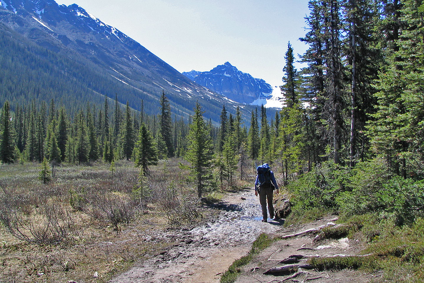
Hiking up the Consolation Lakes trail
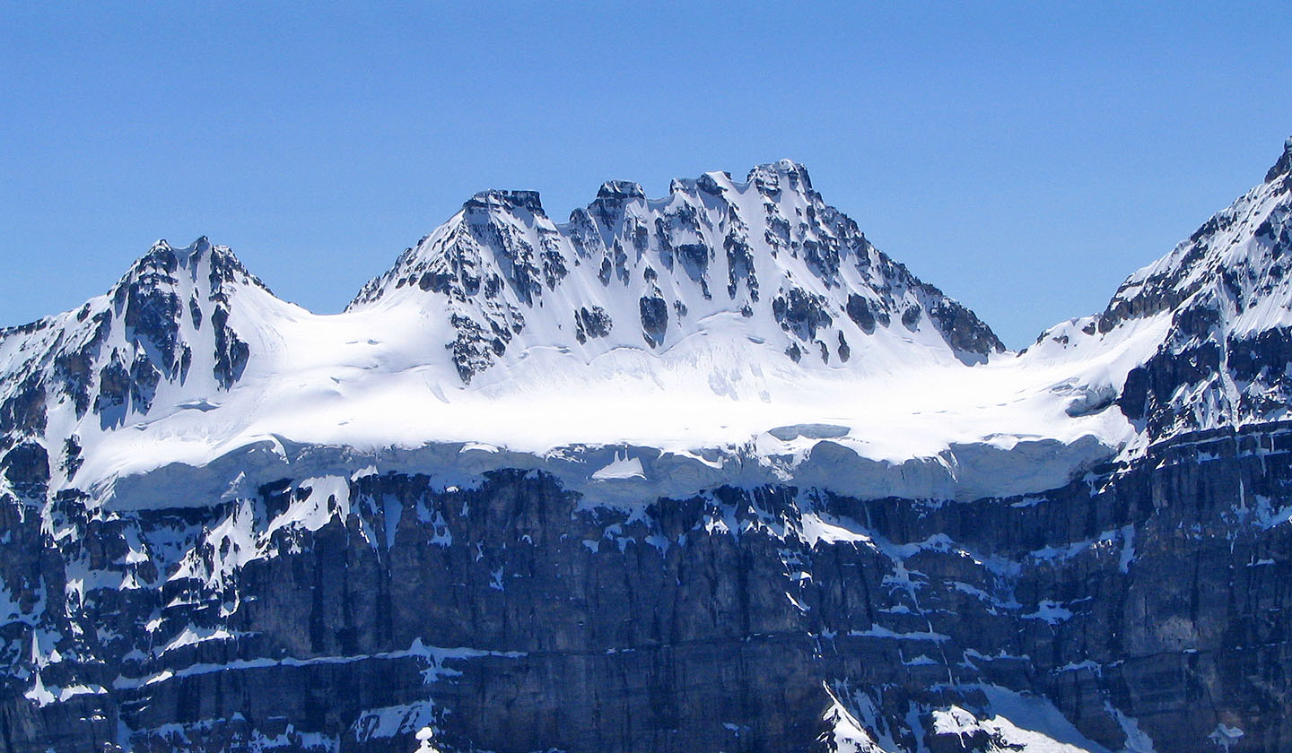
View of Panorama Ridge just before reaching Consolation Lakes
Looking for the best place to cross Babel Creek
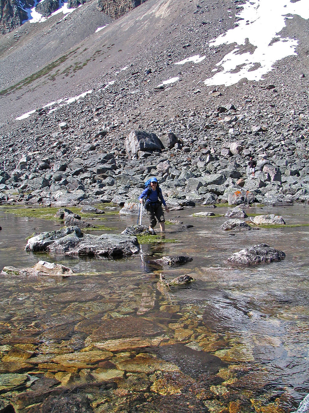
We had to get our feet wet
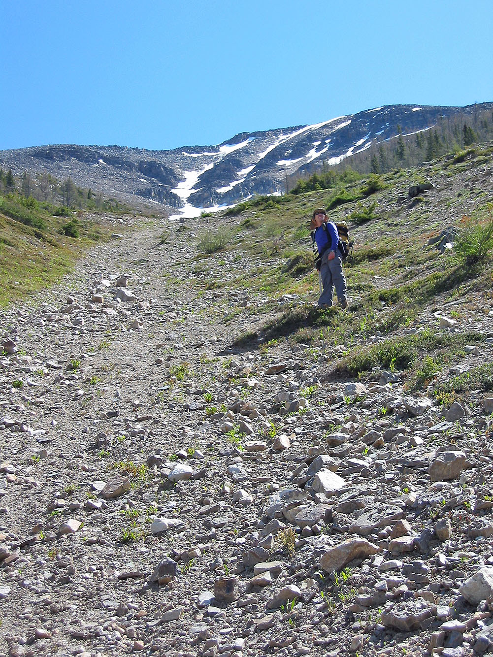
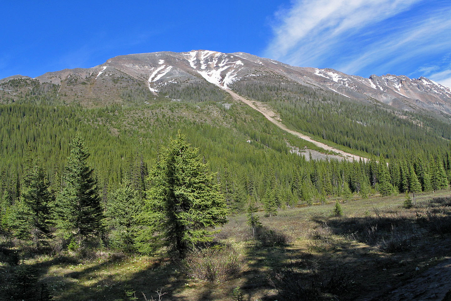
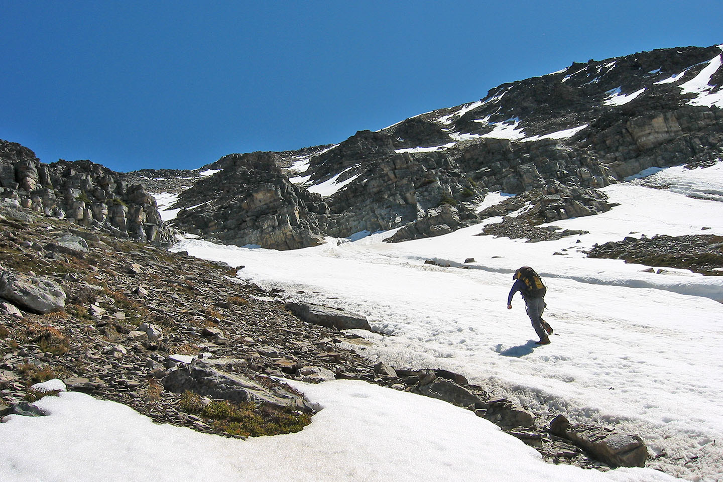
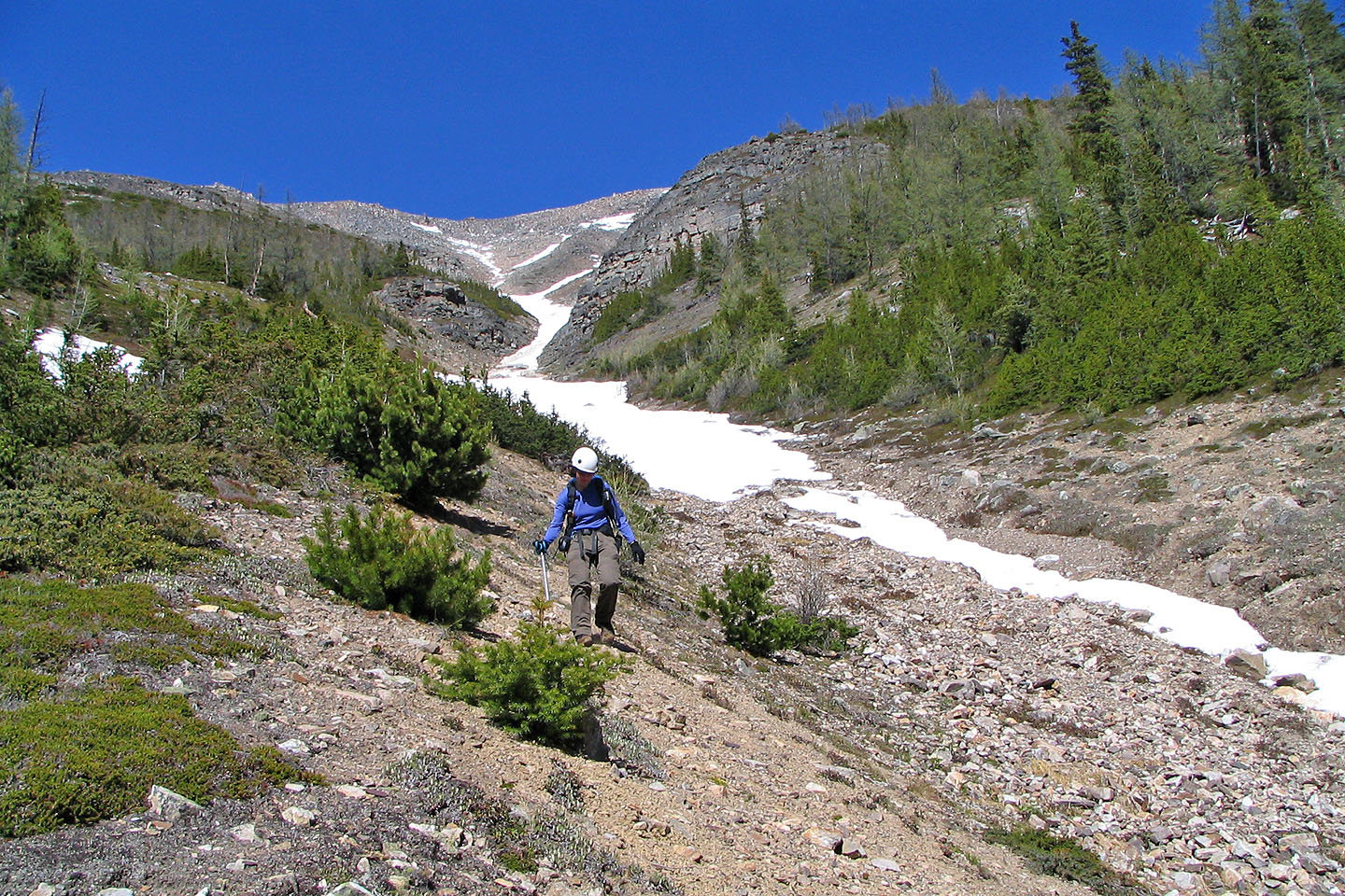
Looking up the ascent gully
Looking back
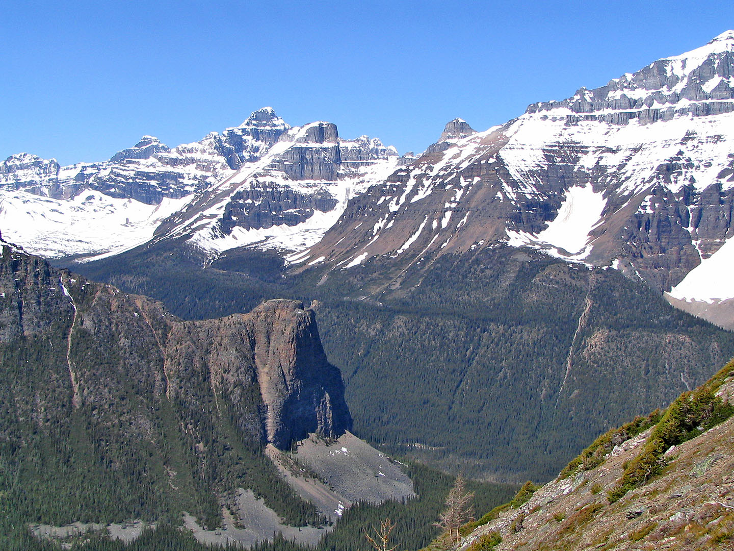
Tower of Babel in the foreground
 We made good progress in the firm snow in
the gully
We made good progress in the firm snow in
the gully
Gully narrows ahead
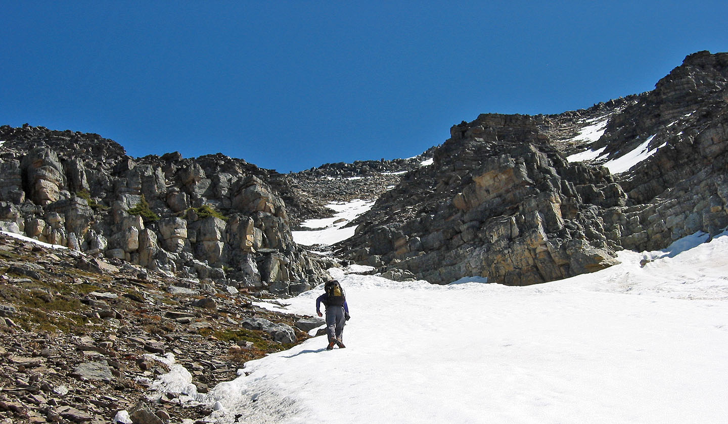
Almost at the narrow section
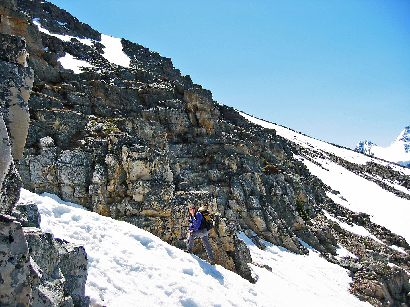
We've reached the rocks and will soon start climbing
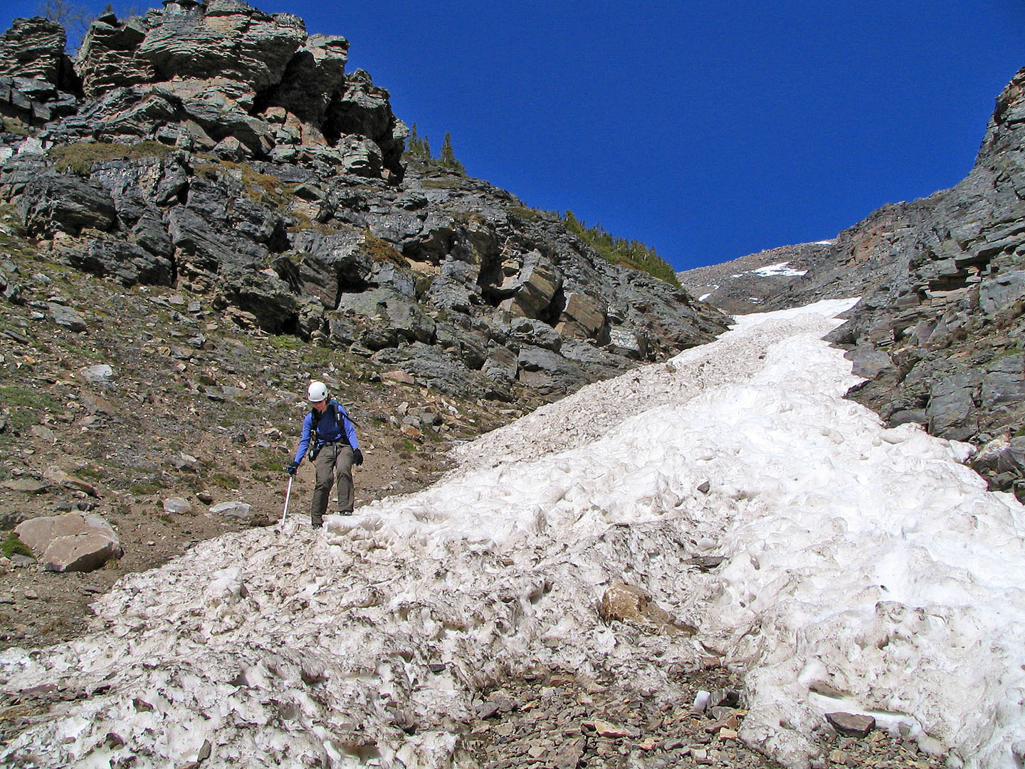
The slope steepens
Squeezing through some boulders
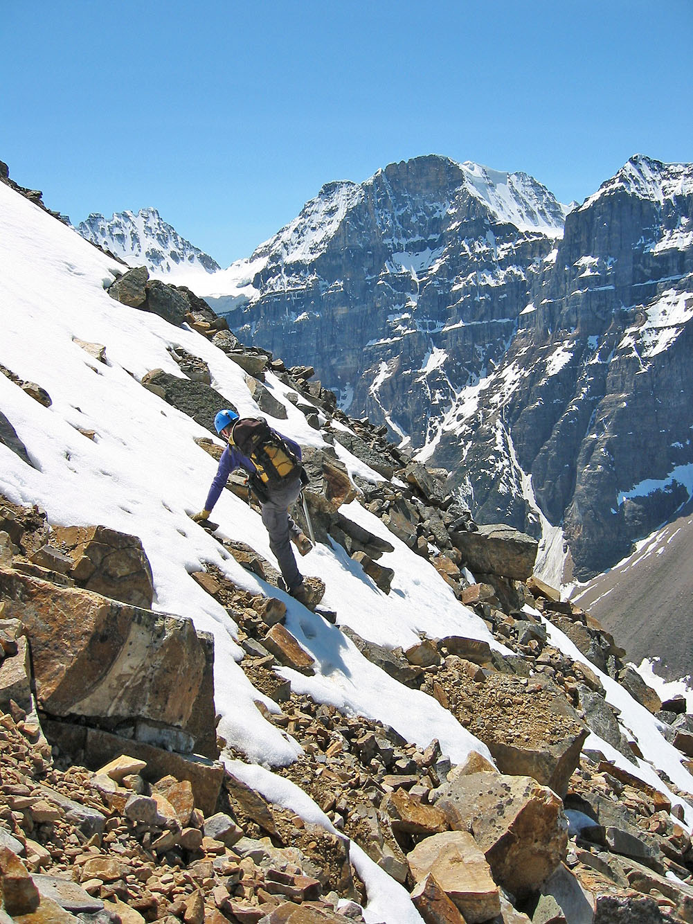
Dinah follows me up the steep slope
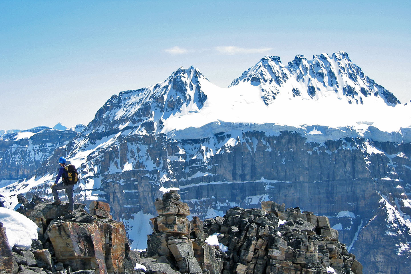
Quadra Mountain
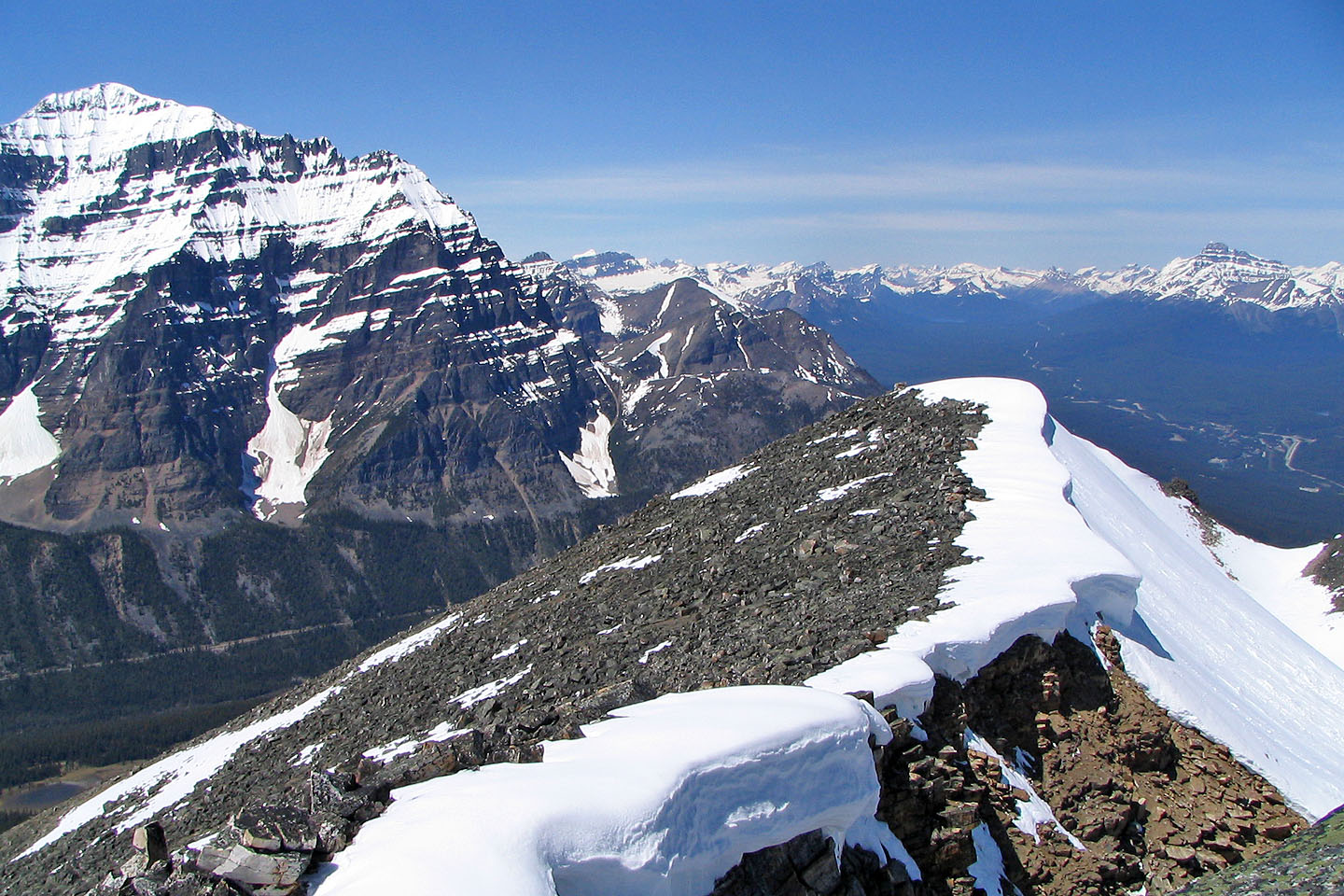
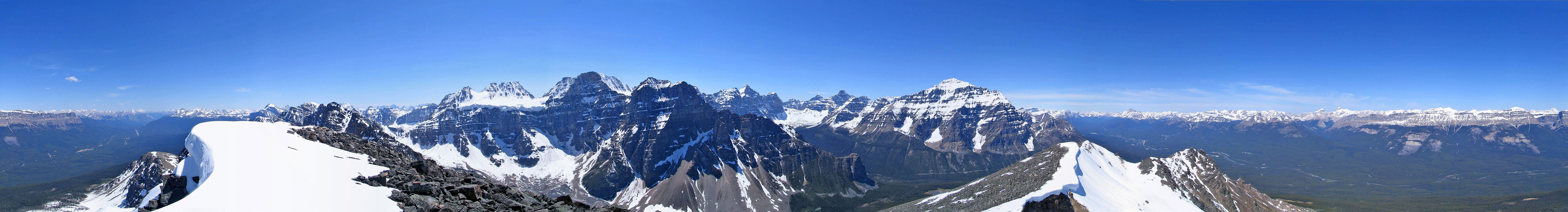
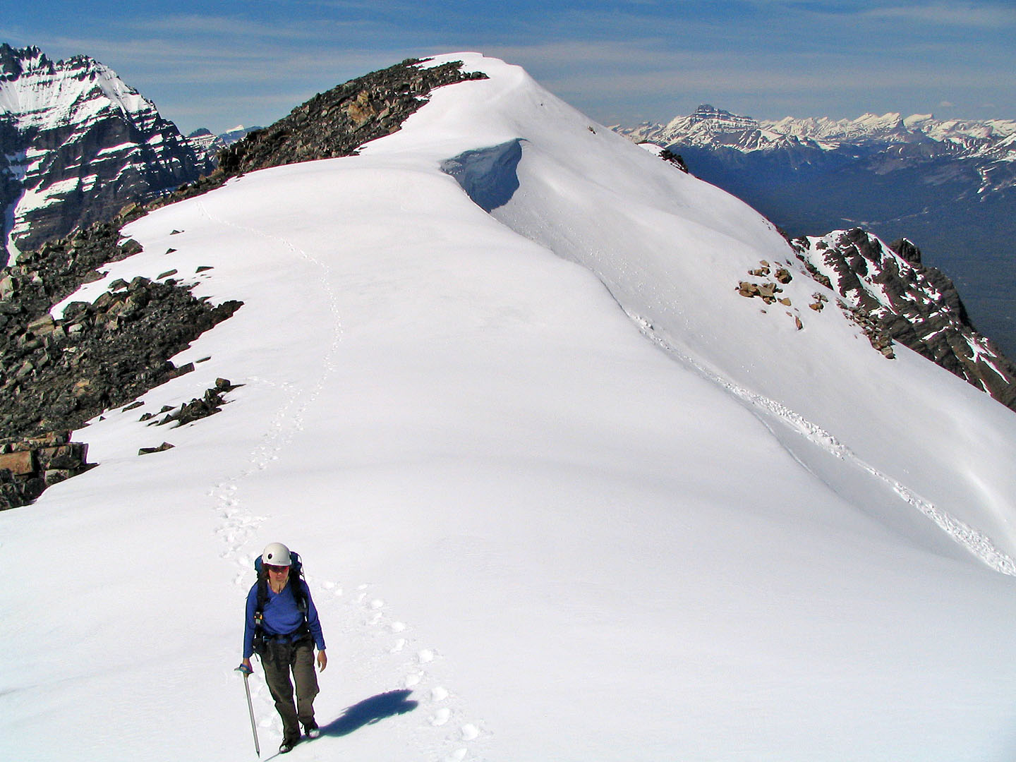
On the ridge looking north
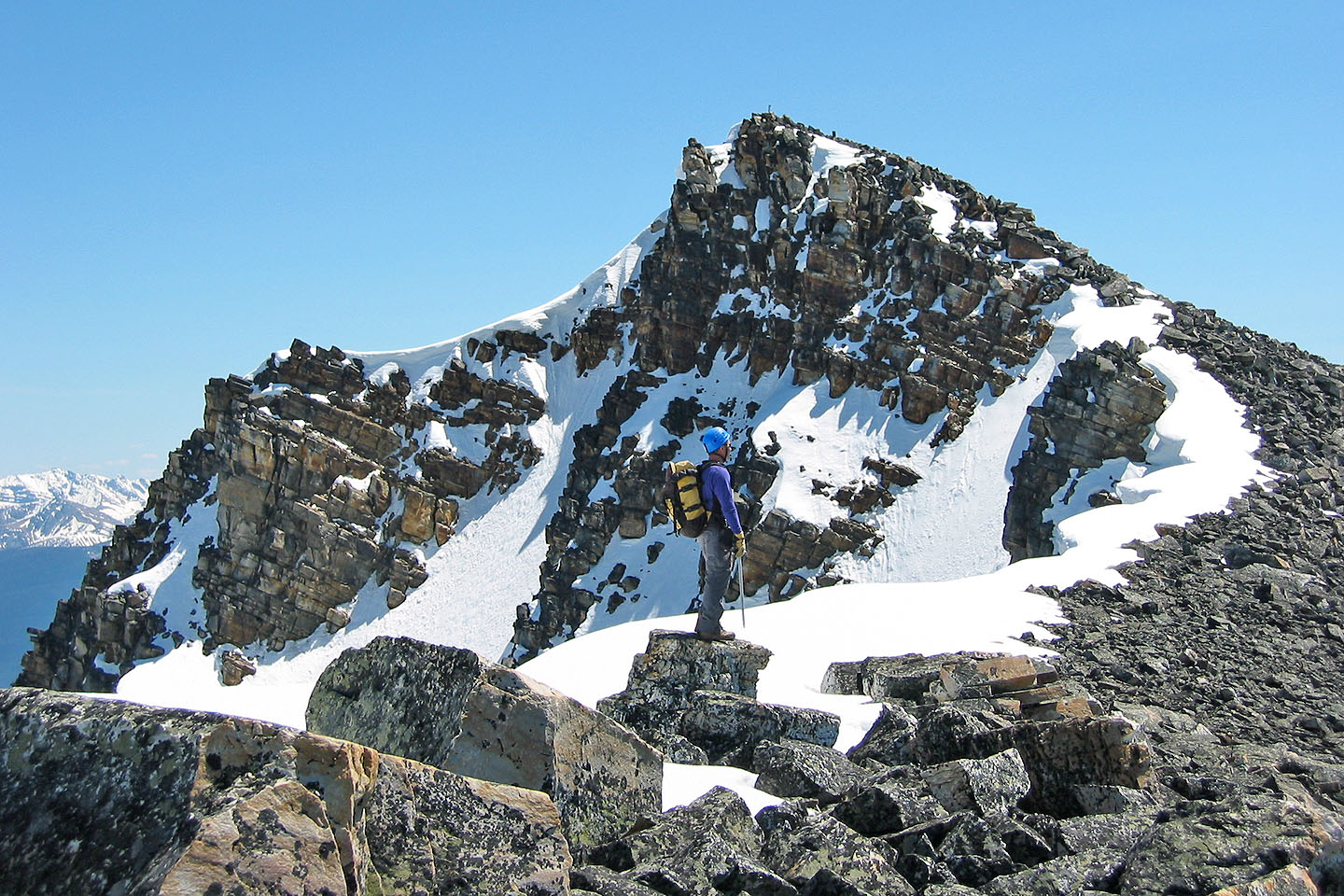
Ahead is the summit
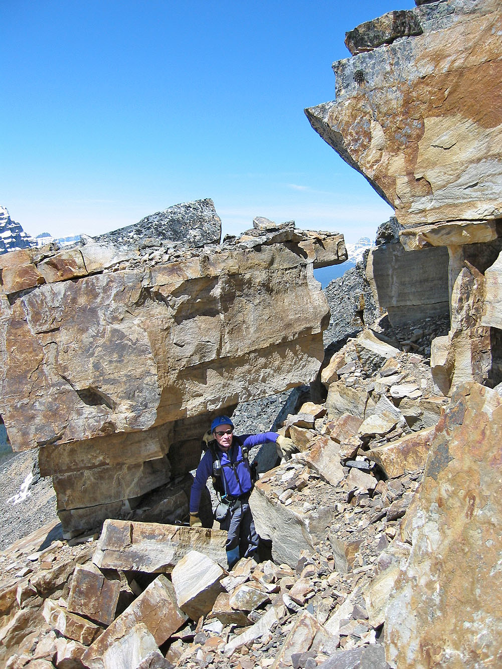
The last section to the summit requires scrambling up quartzite rocks
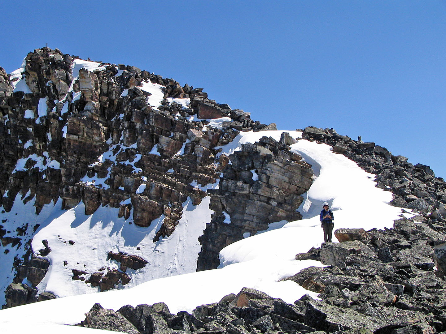
After summiting we continued along the ridge
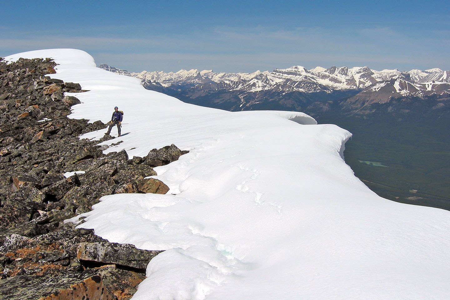
A huge cornice lines much of the ridge
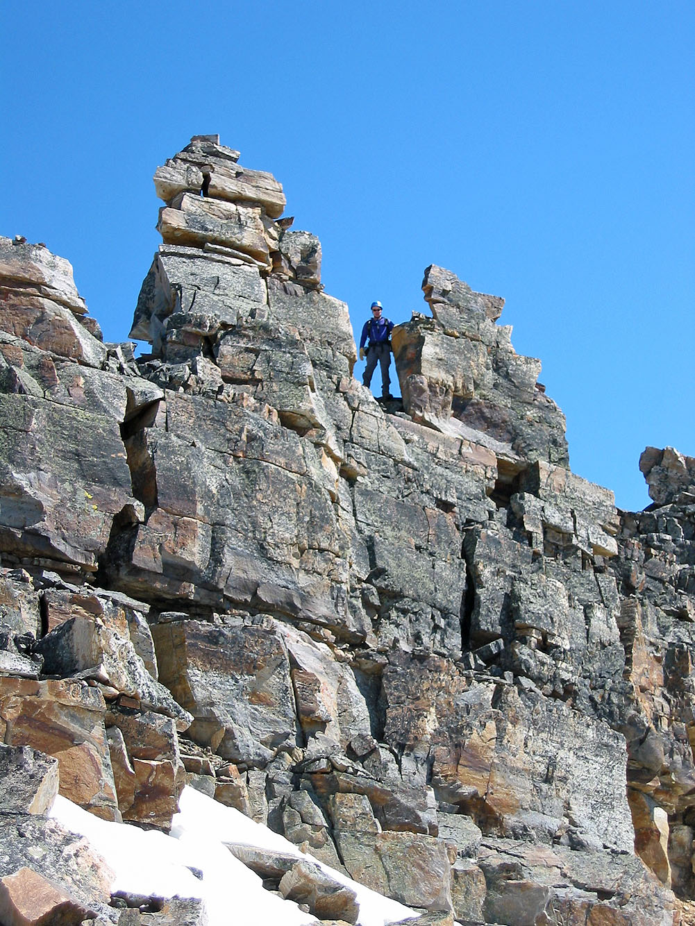
We made it to the pinnacles where we found it difficult and exposed. Best to do in dry conditions.
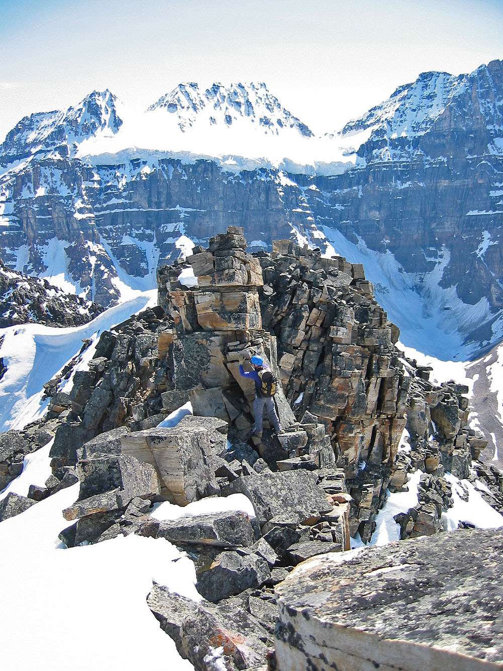
Trying to climb higher
We soon gave up and started down
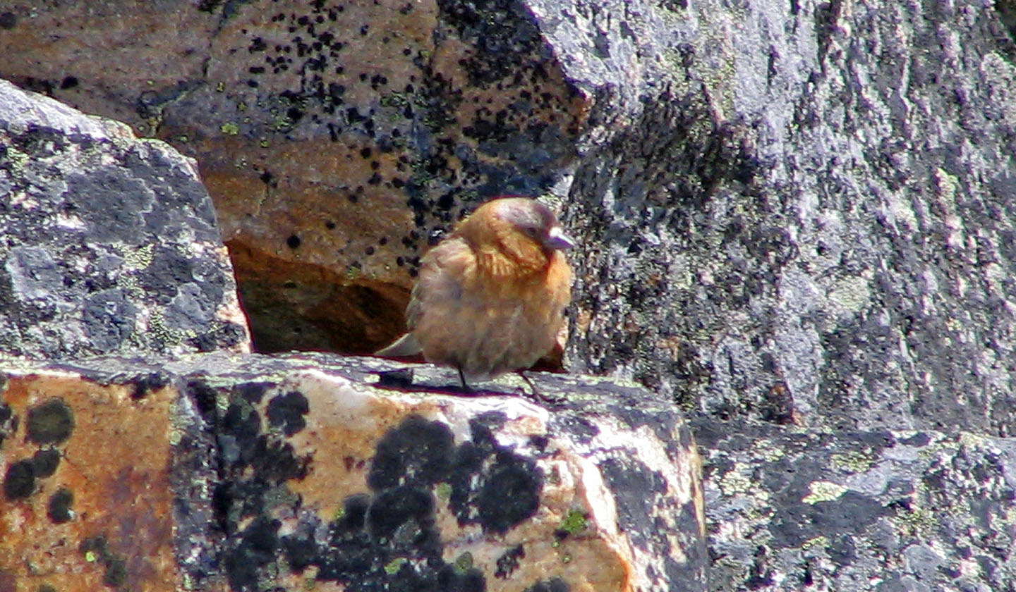
Cute bird, but such skinny legs!
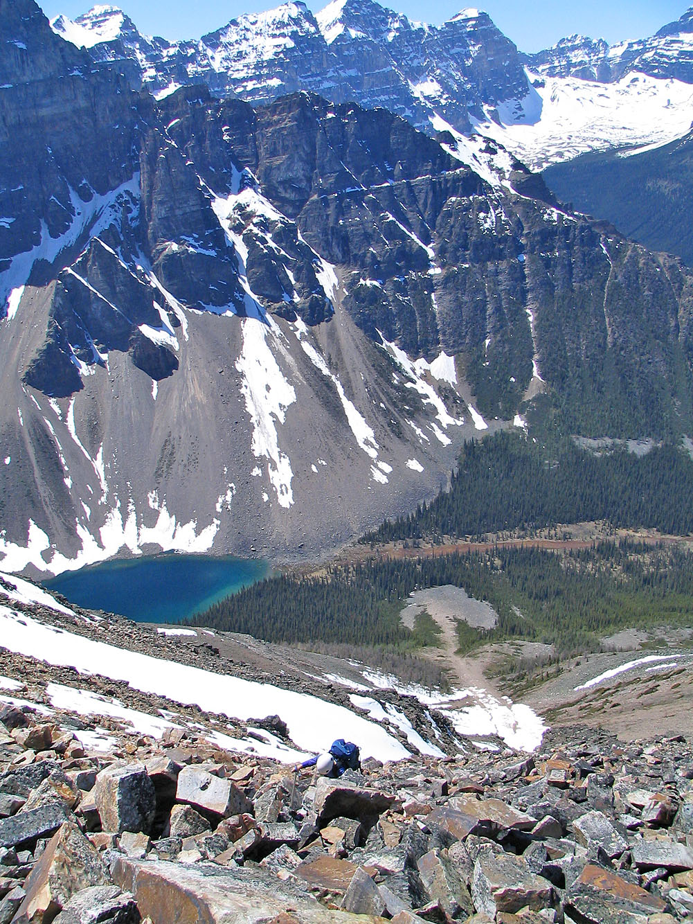
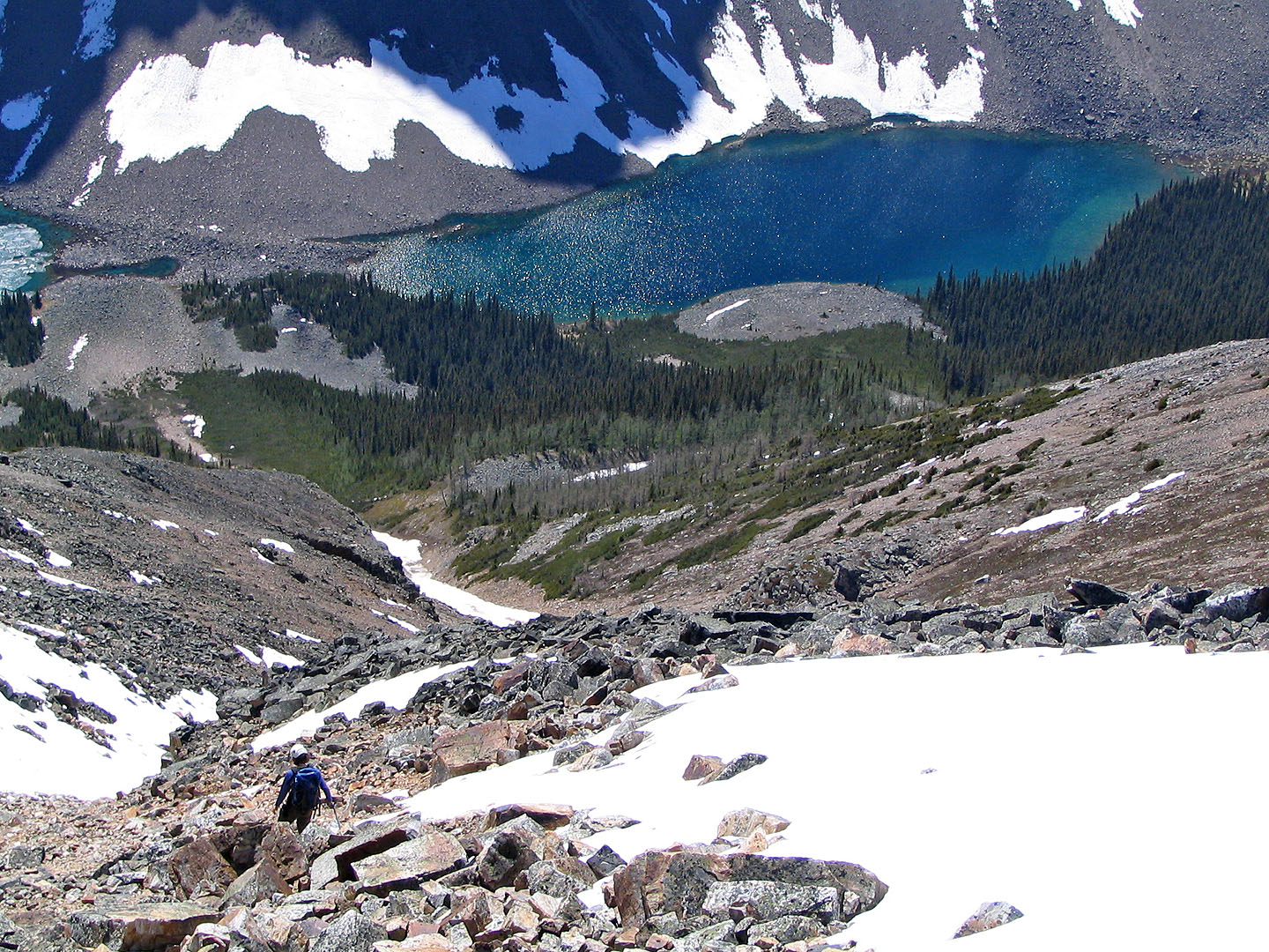
Our descent gully
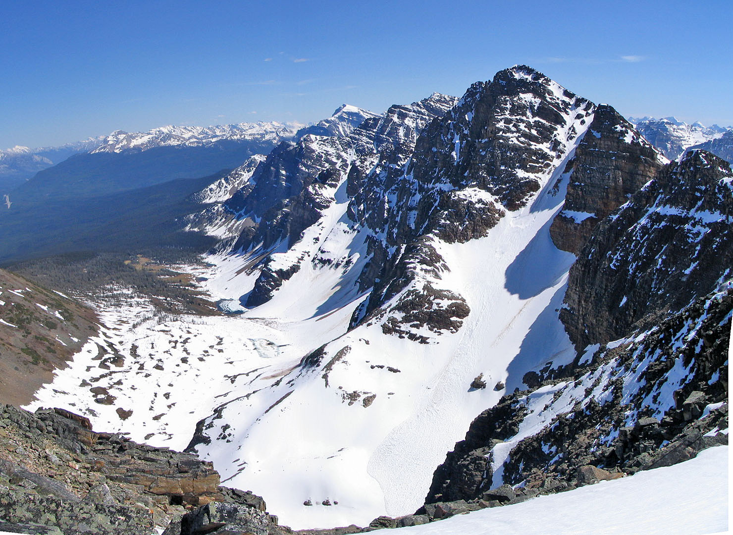
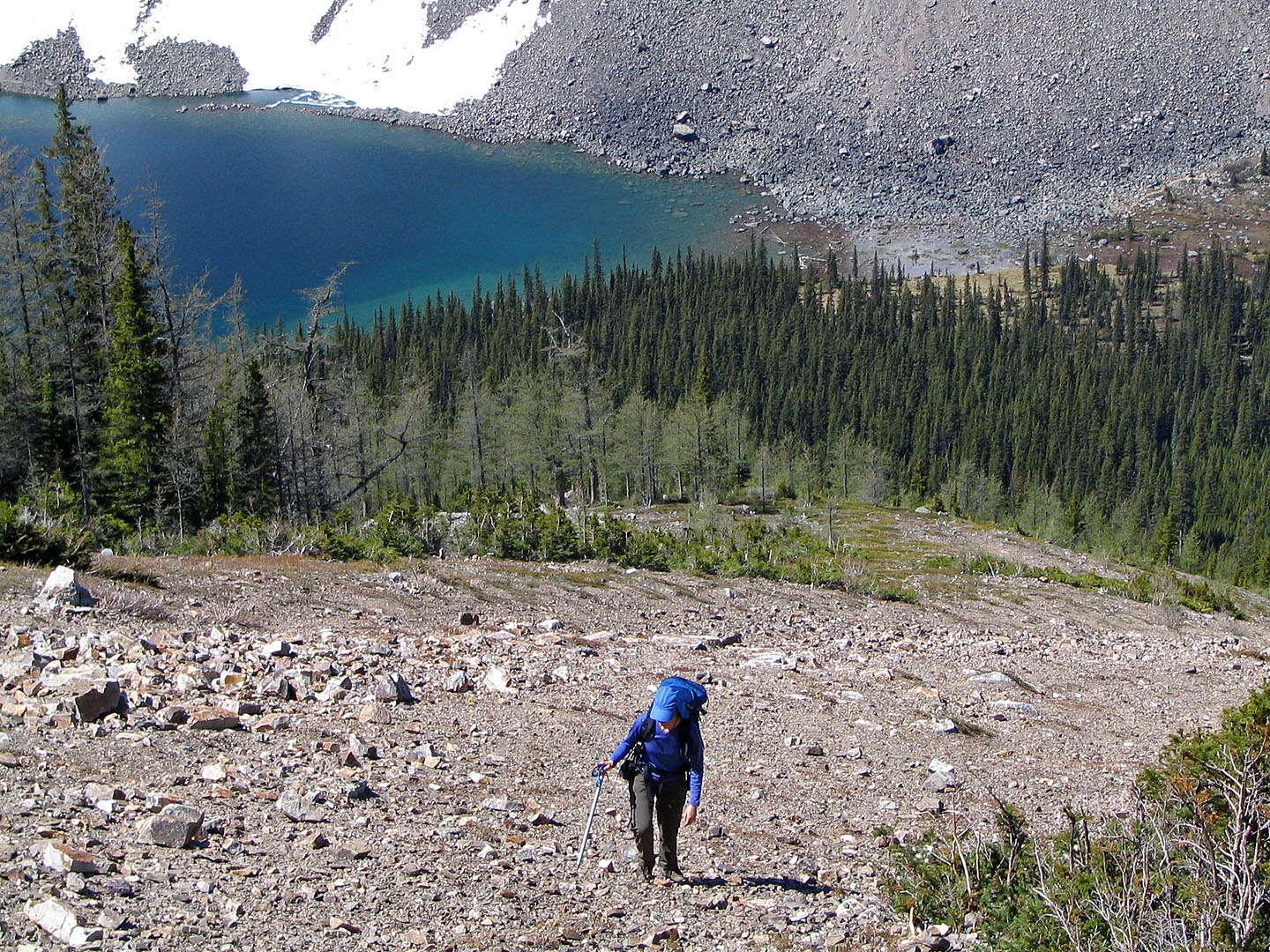
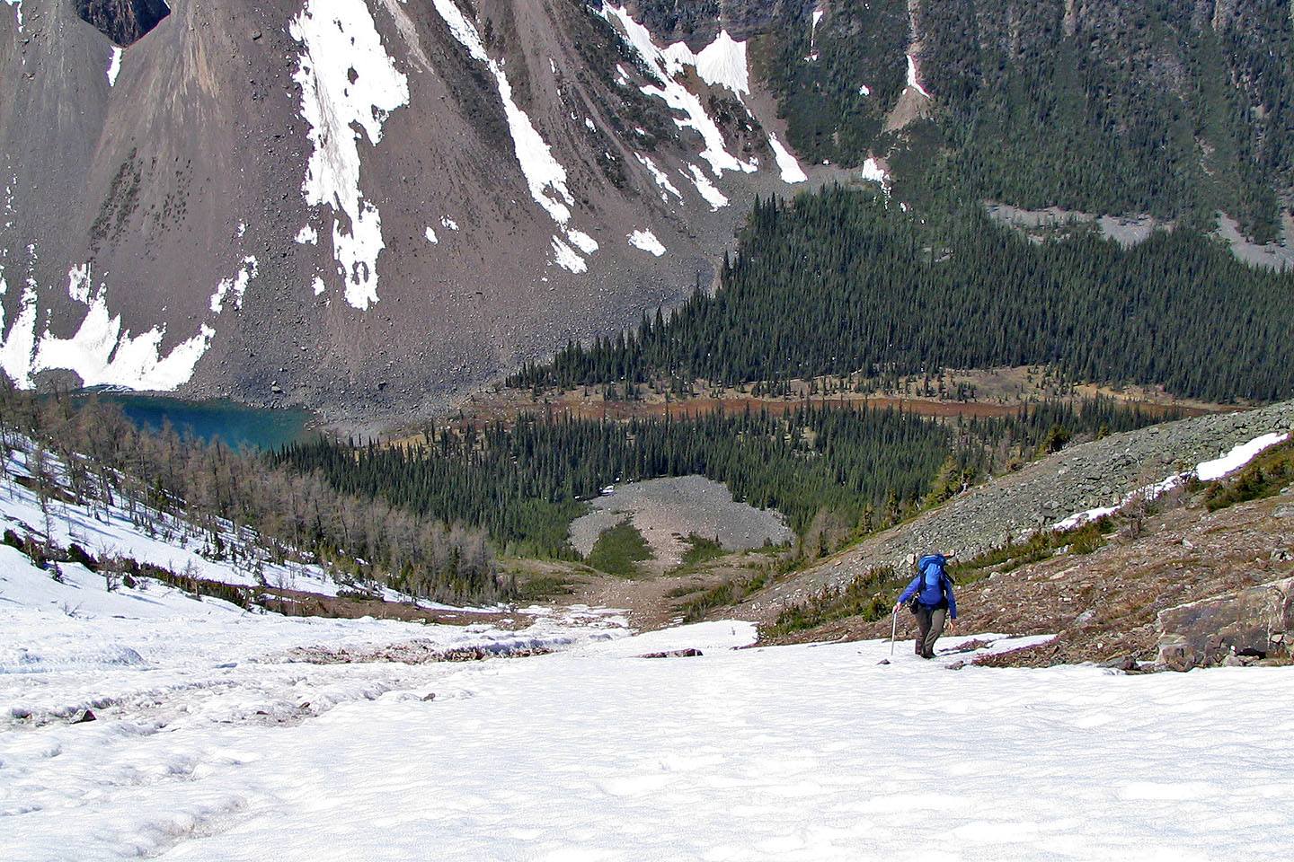
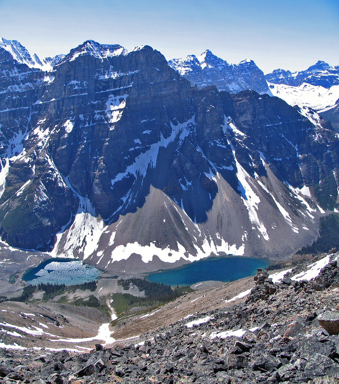
Looking down Consolation Valley
Partway down
Coming down on avalanche snow
Looking up the gully
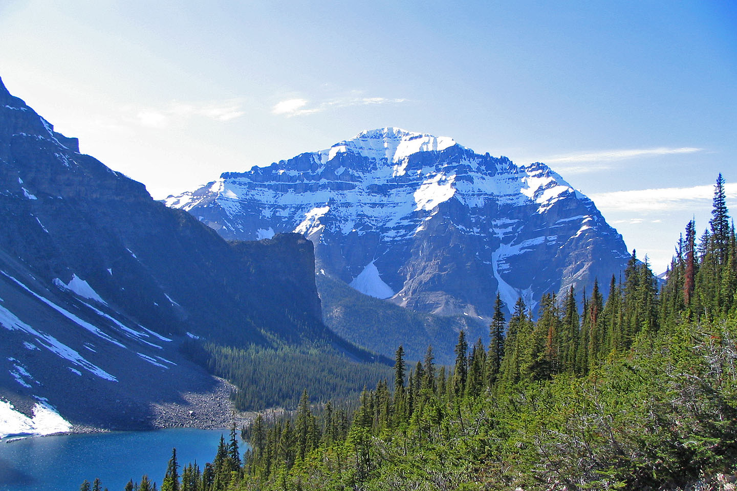
Mount Temple fills the background behind the Tower of Babel
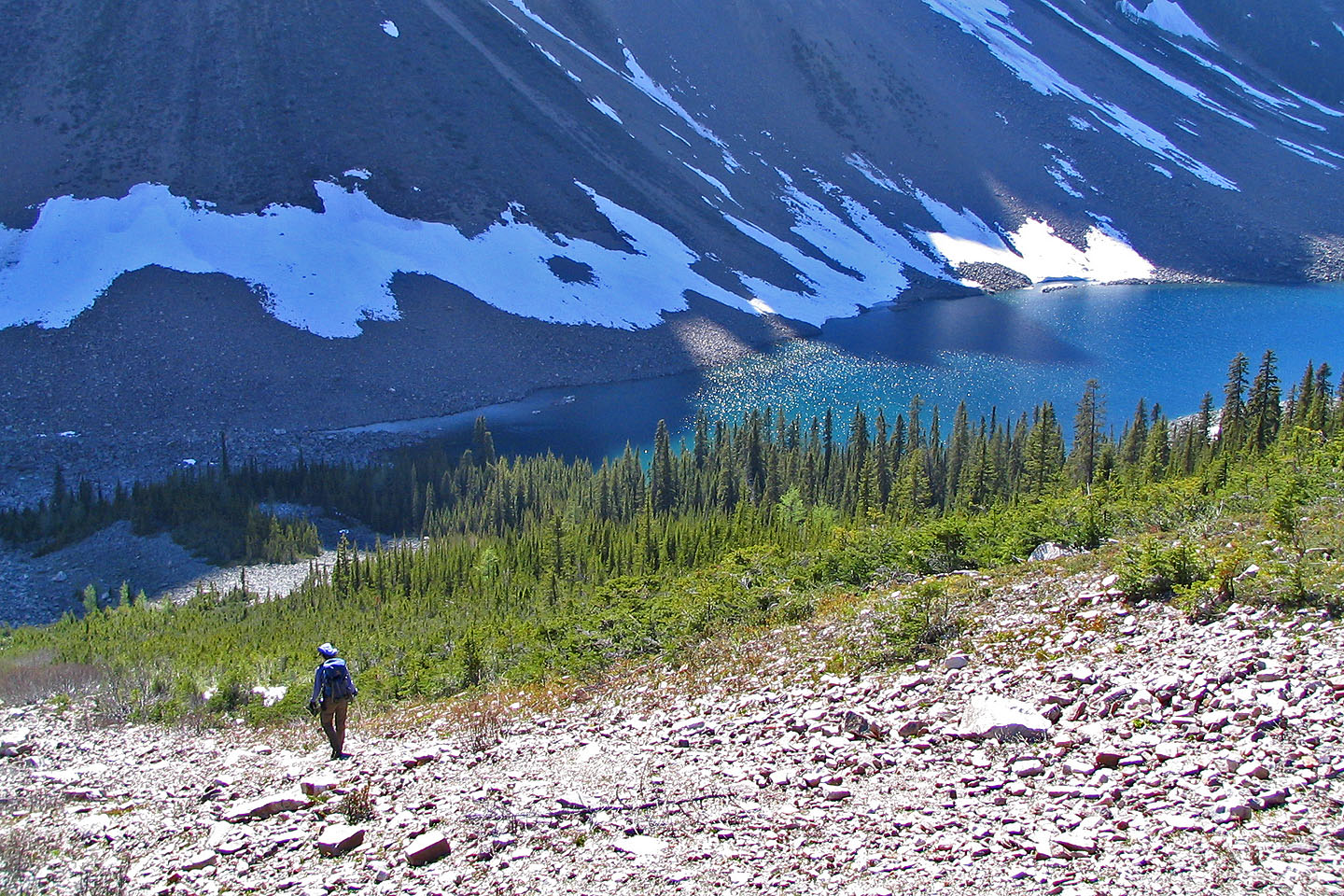
One of the Consolation Lakes. We followed a crude shoreline trail back.
82 N/8 Lake Louise