bobspirko.ca | Home | Canada Trips | US Trips | Hiking | Snowshoeing | MAP | About
Prairie Bluff (east approach)
March 30, 2013
Castle Provincial Park, Alberta
Distance: 10.6 km (6.6 mi)
Cumulative Elevation Gain: 763 m (2503 ft)
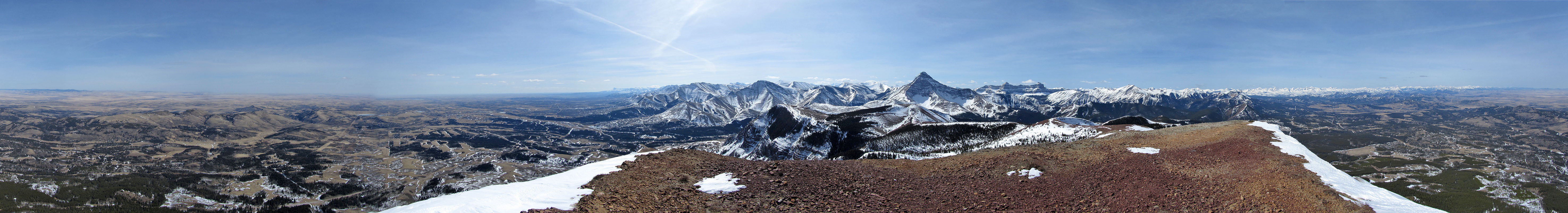
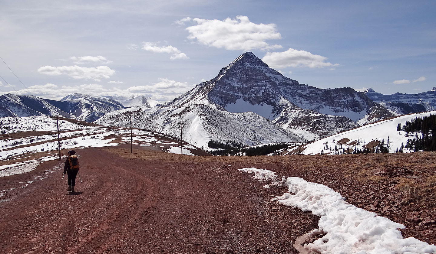
After traversing Prairie Bluff in 2005, I've always wanted to return to do it in the opposite direction, counterclockwise. There are a few good reasons to do so. The southeast ridge is better appreciated if ascended slowly rather than running down it, and the uninspiring road can be done downhill quickly. Also, the best scenery – such as views of Victoria Peak and Windsor Mountain – aren't behind you but in front.
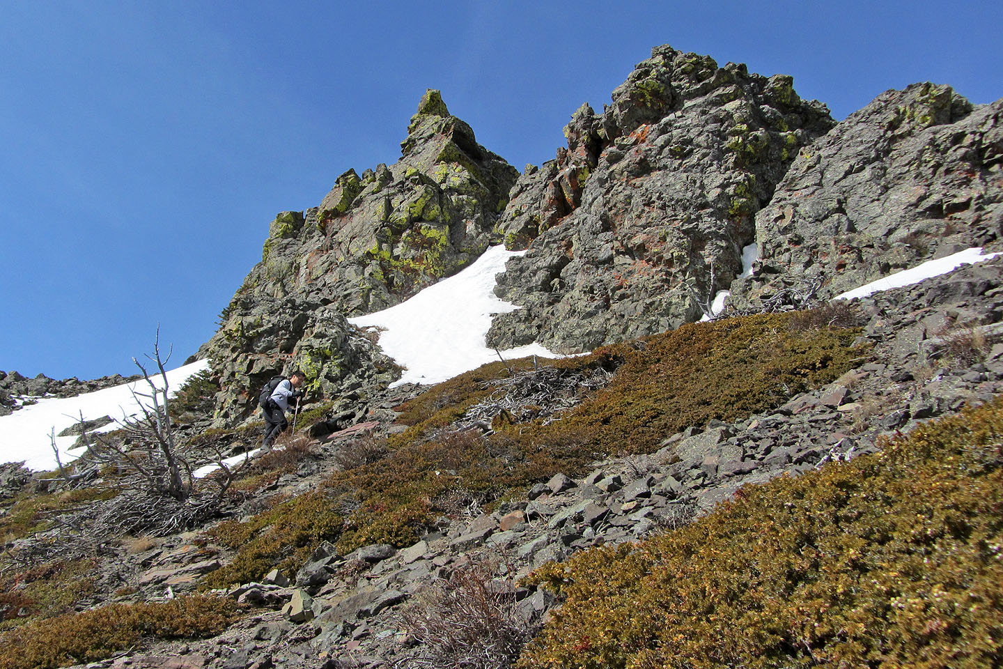
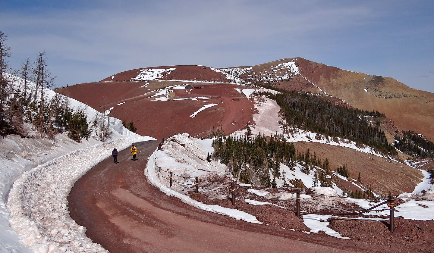
Rather than starting at the Victoria Peak trailhead south of Prairie Bluff, Dinah, Sonny and I started up a service road east of the mountain (thanks to Taras Kurylo for suggesting this route). This approach provides more scrambling.
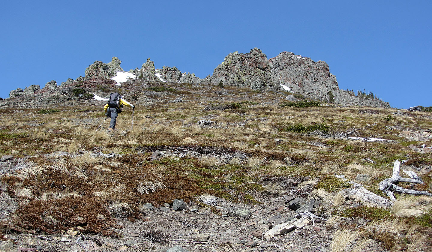
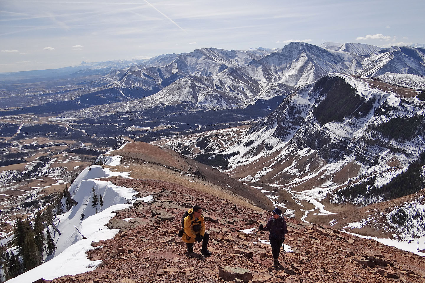
We crossed mostly fields and open slopes to reach the southeast ridge. After an enjoyable ridgewalk, we reached the summit. From the top of Prairie Bluff, we could see snow-covered peaks all the way to the north and south horizons. Then we turned west and walked down an old road. However, it soon turned into a maintained road. We should have stayed on this road a bit longer to catch the trail going down – actually an old road – but instead, we turned right prematurely to find Victoria Peak looming large ahead. Realizing our error, we doubled back a bit to get on the trail.
After the trail ended, we crossed a mix of fields and trees to reach our car two klicks away. Travel was especially miserable at lower elevation levels where the snow lay soft and deep. We spent much time either postholing or bushwhacking. Even if snow was the only problem, spring isn't the best time to travel cross-country: it's tick season. On the drive back, Sonny discovered one creeping up his neck, and at home, apparently after hitching a ride on a pack, Dinah found one crawling up a wall.
KML and GPX Tracks
Sonny Bou's Trip Report
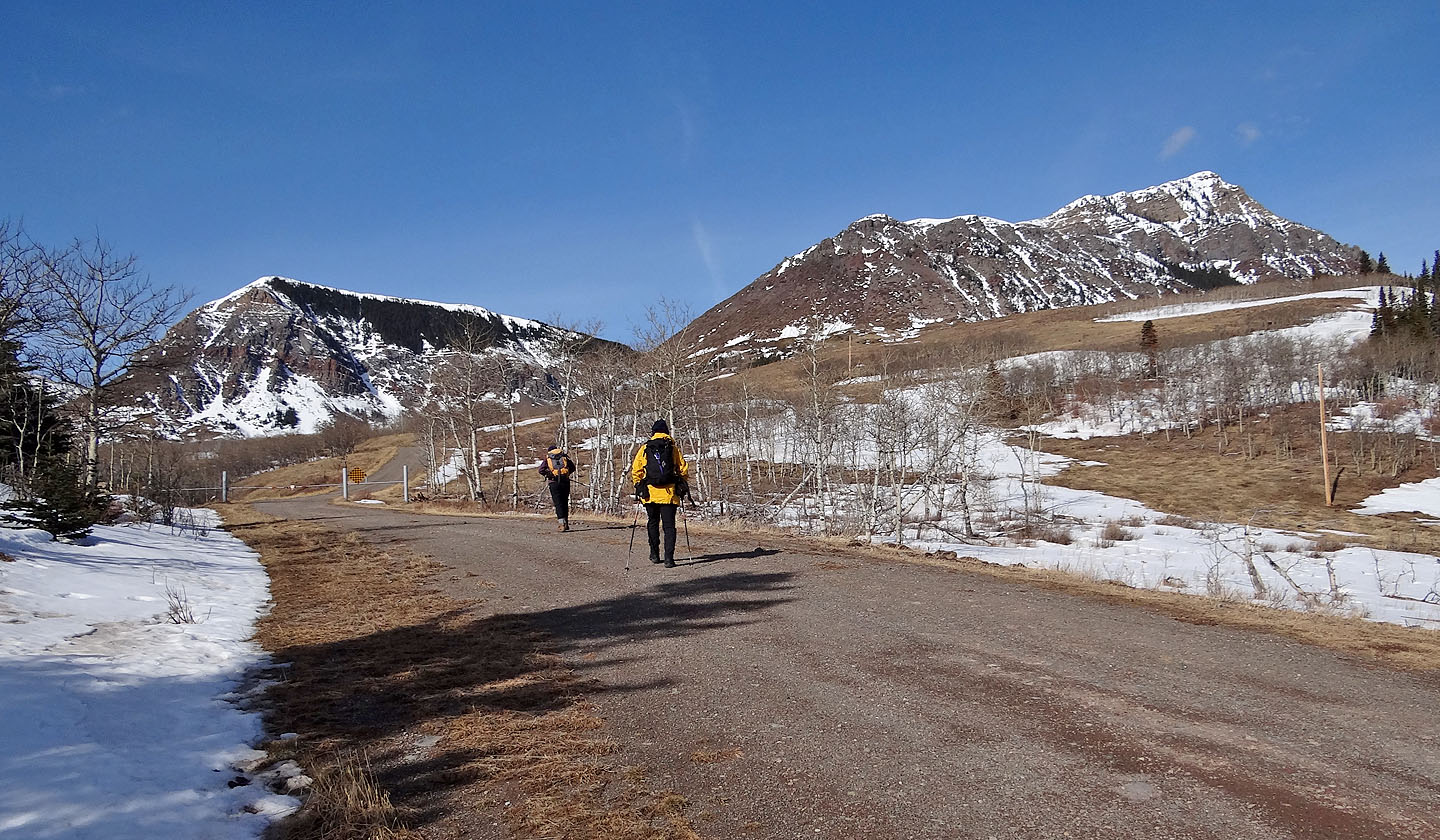
Starting up the road
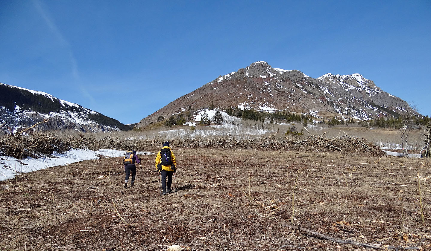
For some reason, this area was being cleared
We headed to a low point in the cliffs
Sonny passes below a pointed rock
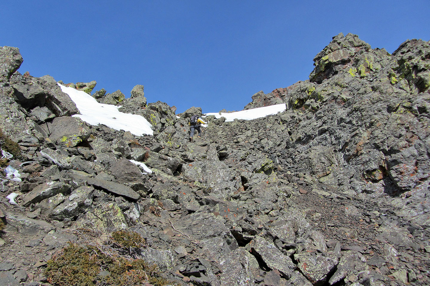
Going through a gap in the cliffs
Looking back
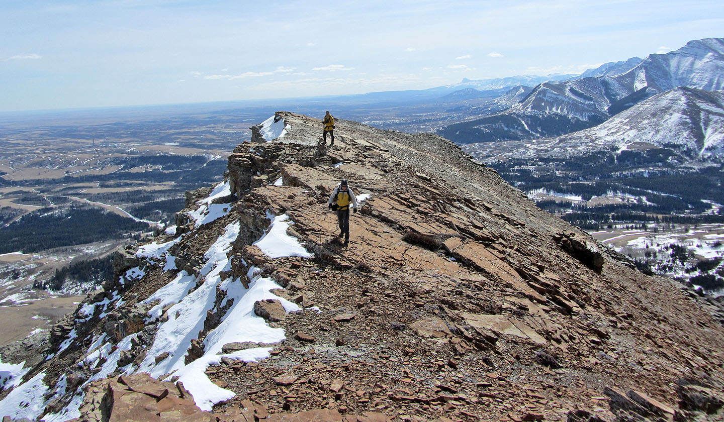
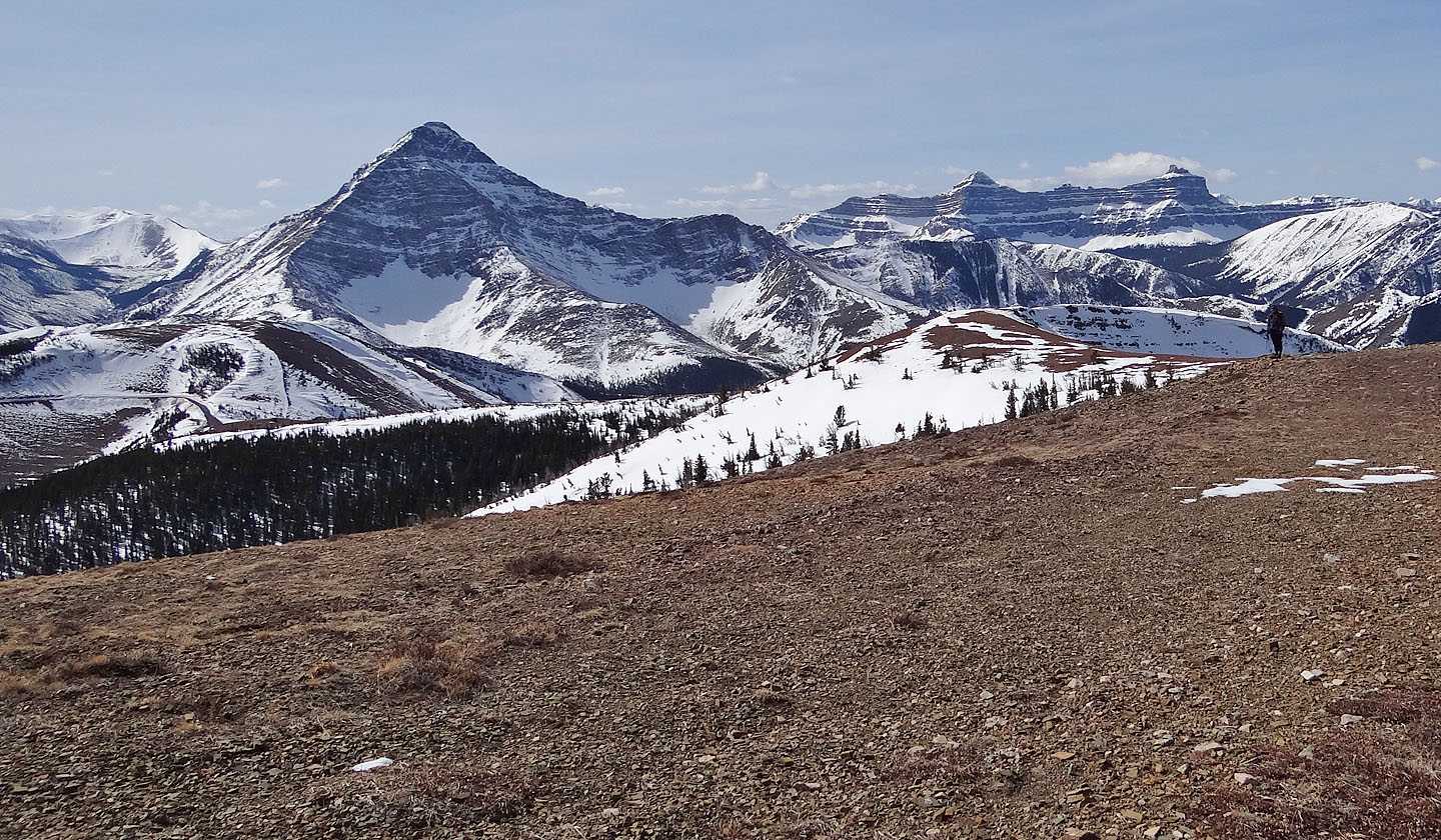
Drywood Mountain and Pincher Ridge lie south
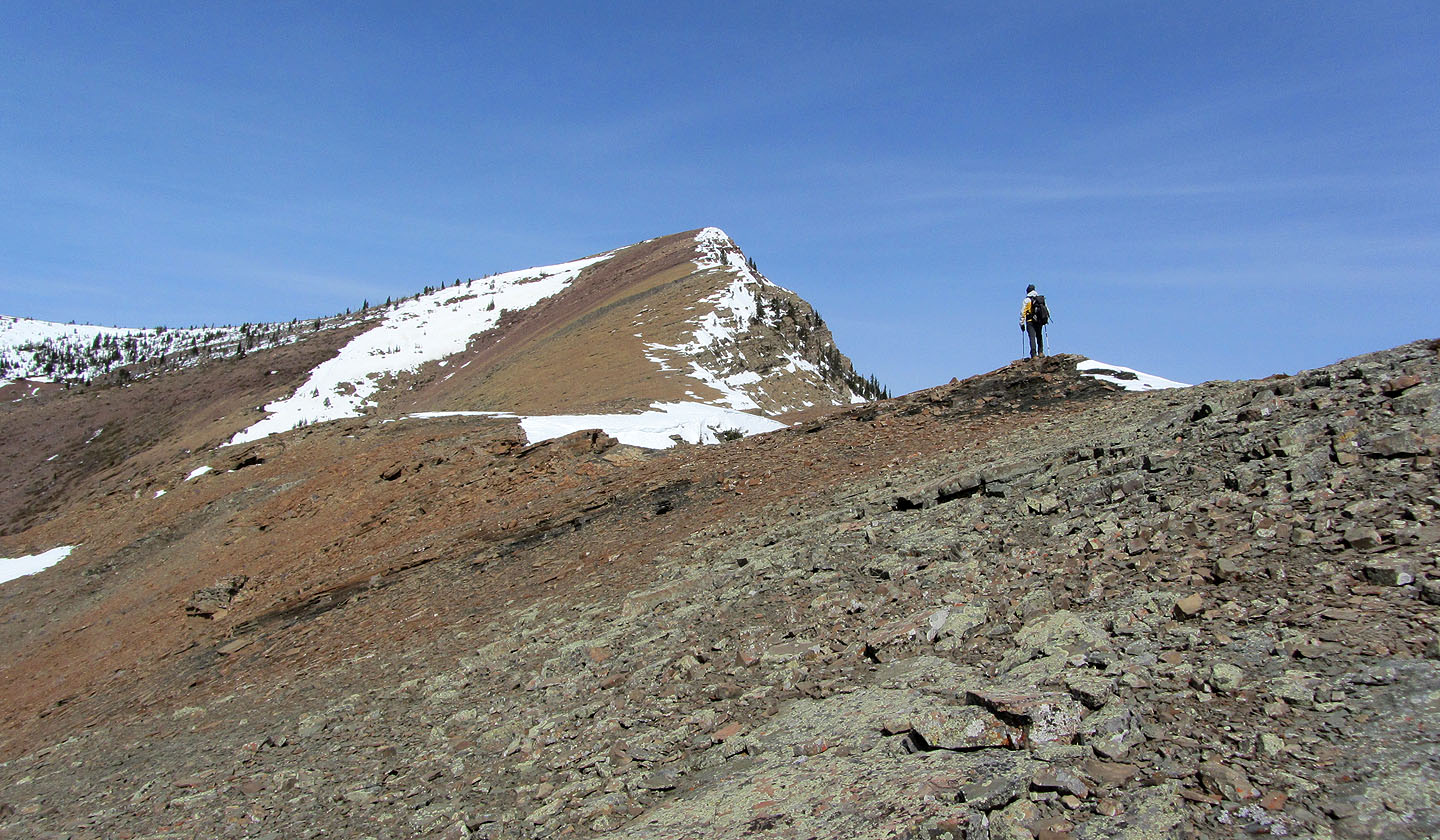
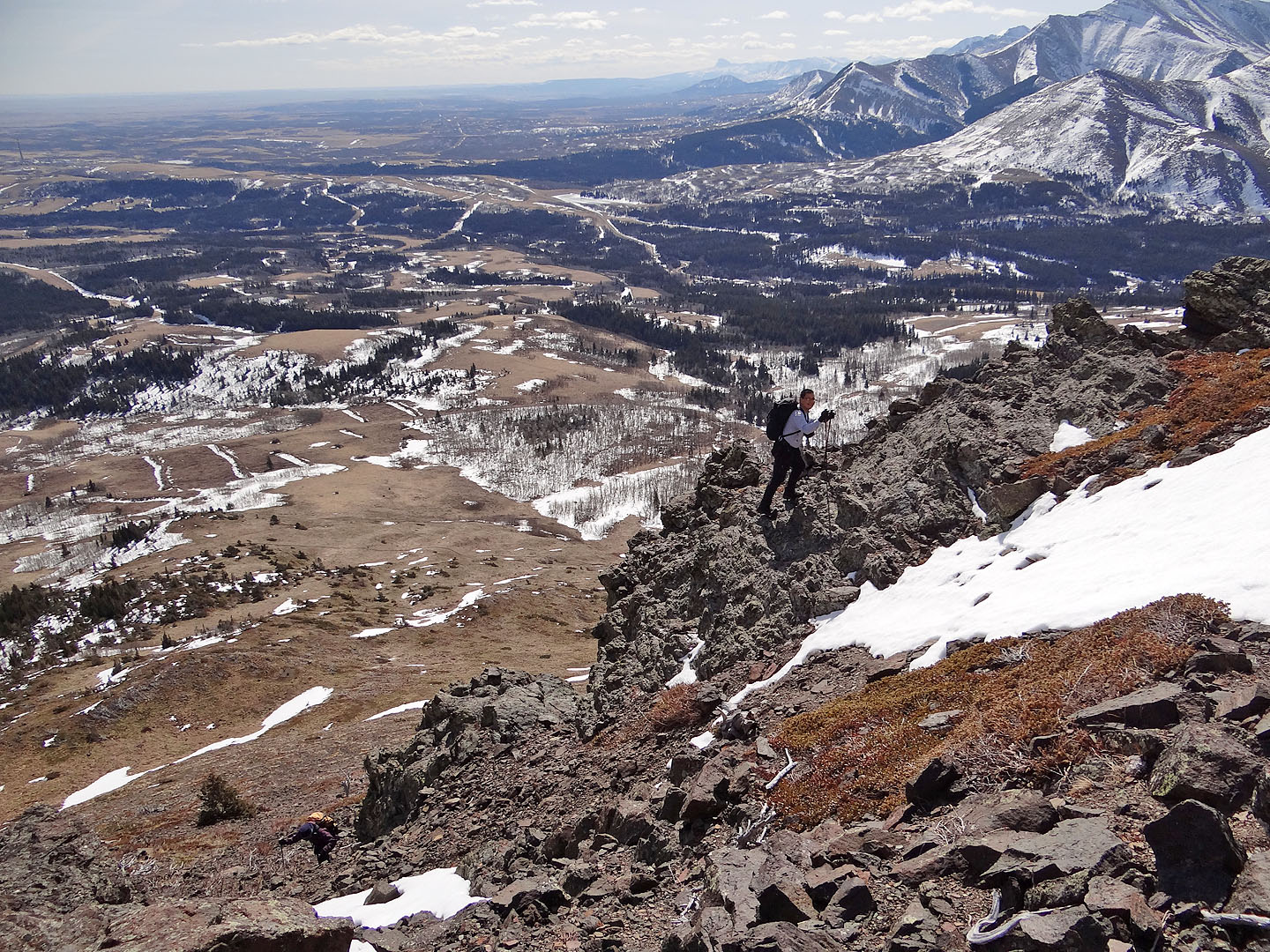
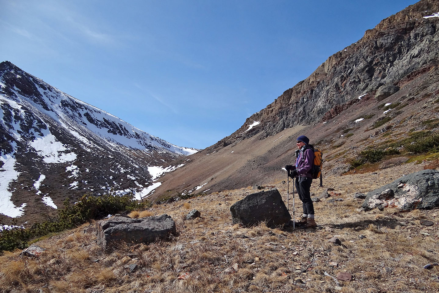
On the ridge, false summit ahead
Looking back
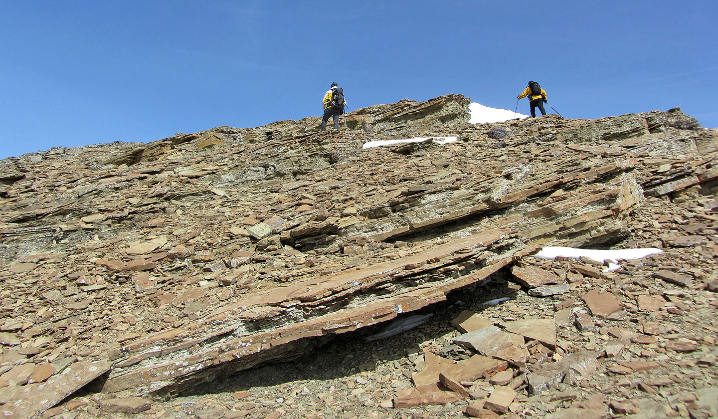
Lots of shale on the ridge
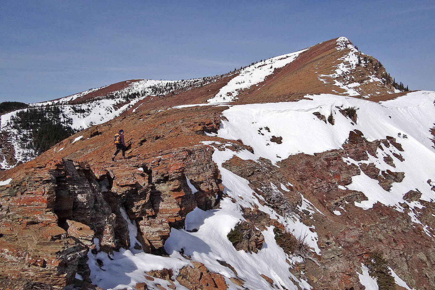
We went from orange to red rock
Looking back from near the summit
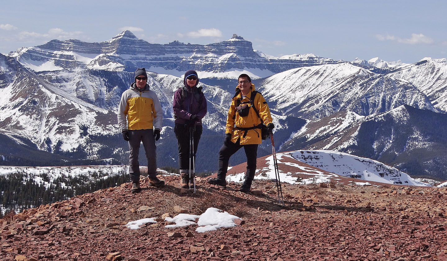
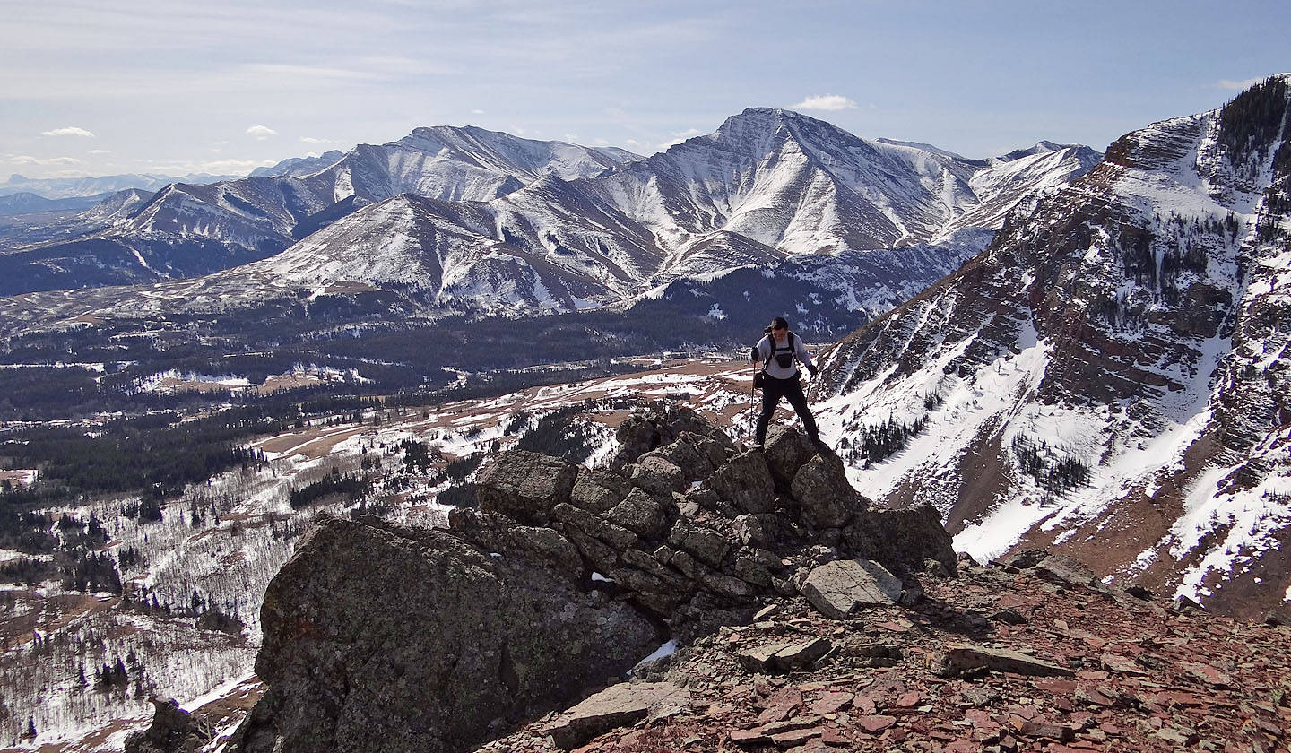
Windsor Mountain sets the background for a summit pose
Heading back along the road

Big horn sheep
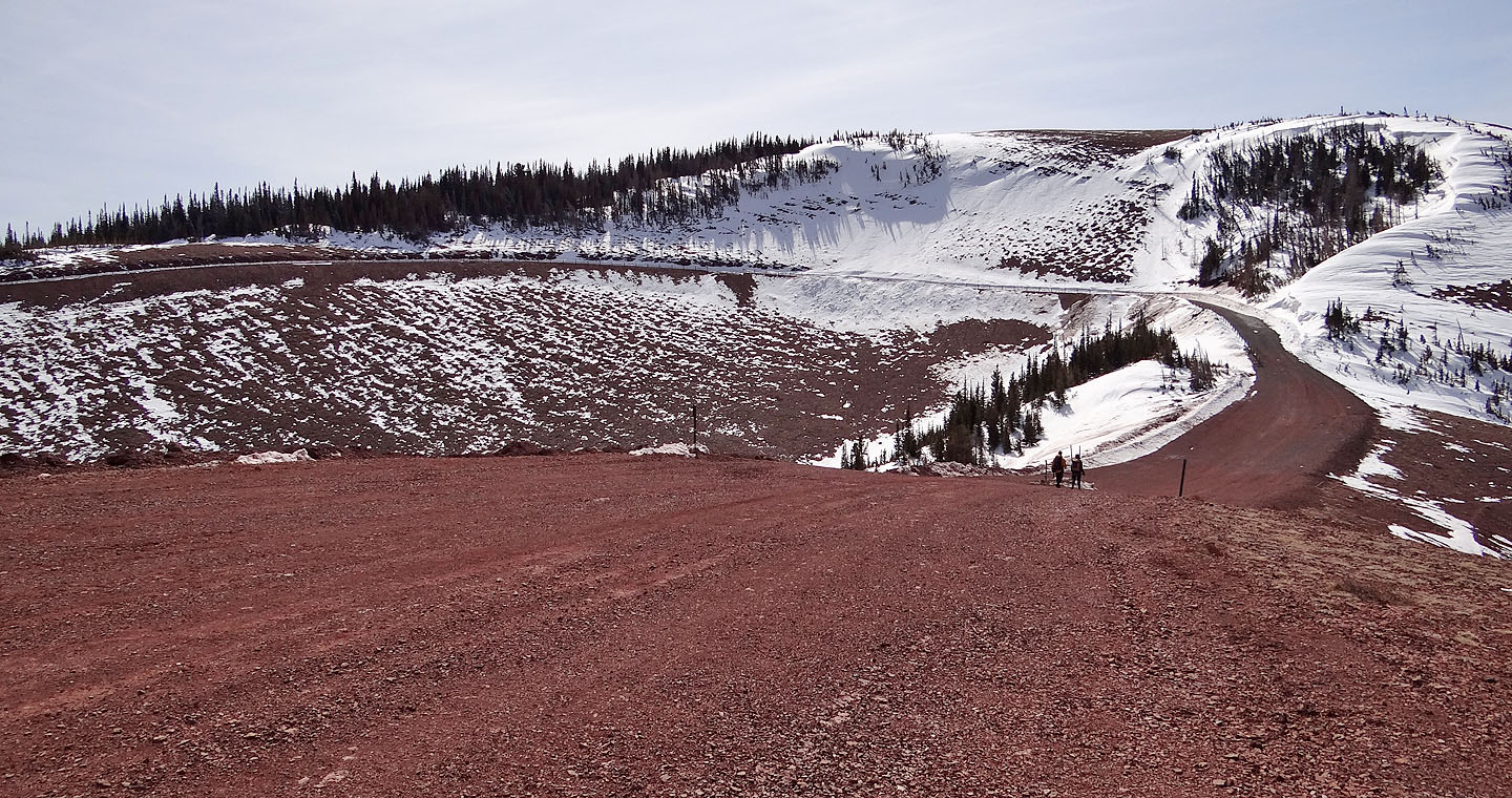
After passing a Quonset hut surrounded by a fence, we came to a maintained road
Looking back at the summit
Looking back along the trail in the scree slope

On the way back, we saw Prairie Bluff and the southeast ridge we ascended

For a short distance, we followed a cutline
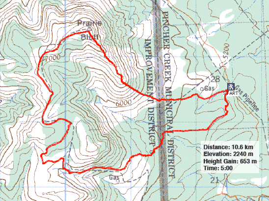
82 G/8 Beaver Mines