bobspirko.ca | Home | Canada Trips | US Trips | Hiking | Snowshoeing | MAP | About
Whiskey Hill
Kananaskis, Alberta
October 9, 2022
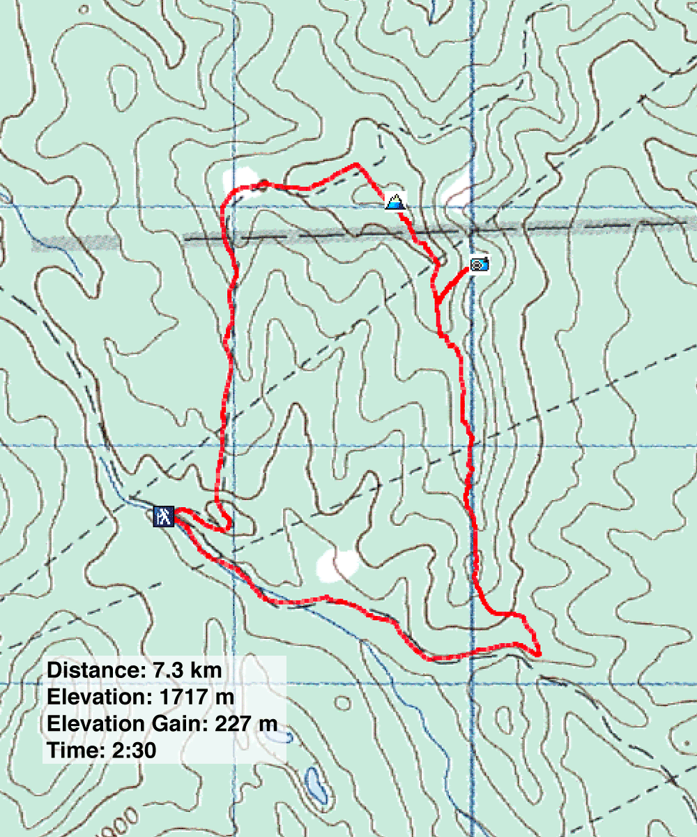
Distance: 7.3 km (4.5 mi)
Cumulative Elevation Gain: 275 m (902 ft)
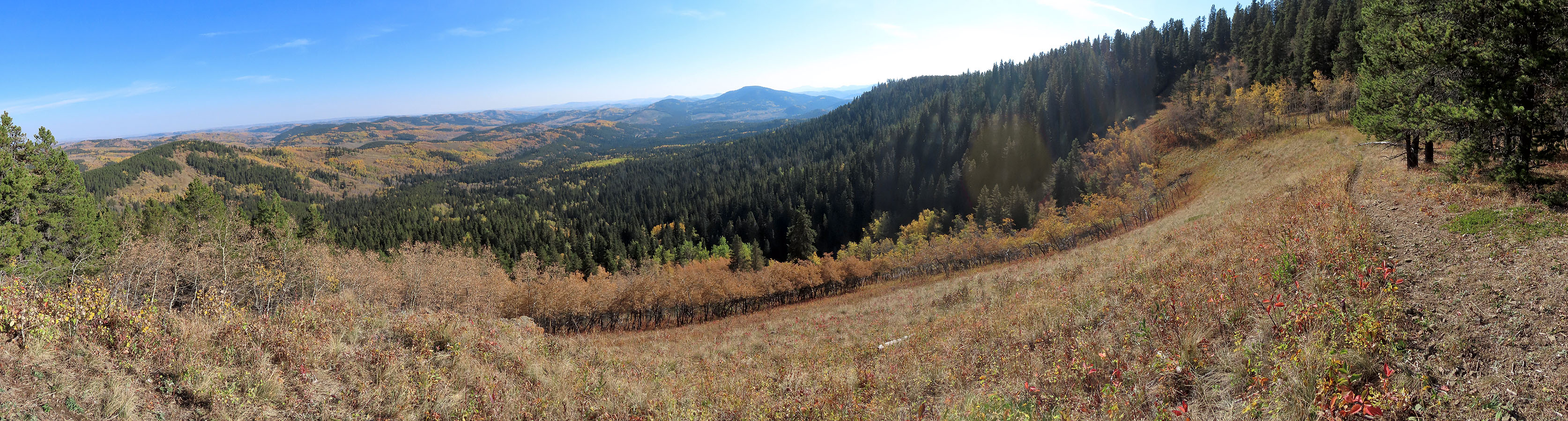
After reading Sonny's trip report, I decided to give Whiskey Hill a shot. However, I shortened his loop and did it in reverse, clockwise. I began my hike on the service road that Sonny finished on, and I descended the south ridge from the summit. As he points out, trees prevent any views from the top. However, a short side trip from the south ridge reaches a fine viewpoint. Here, a grassy promontory provides a 180° sweeping view of the low hills southeast including popular Mesa Butte.
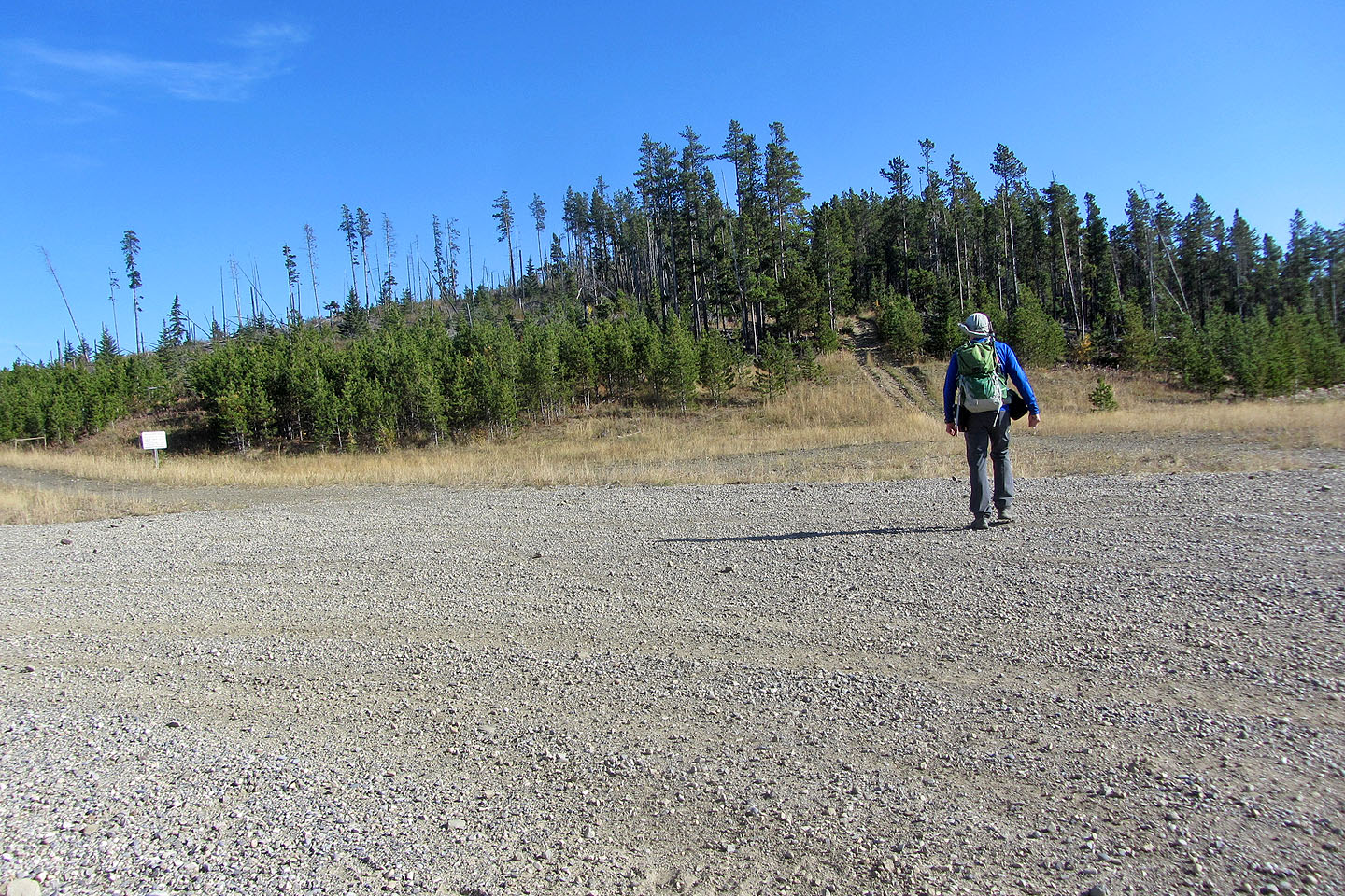
The trip begins and ends at the adjacent gates of two access roads. I took the road on my left and walked up the hill to the gas well site. Shortly after the site, I got on a straight ATV trail and followed it to the top. Among the trees, I found a survey marker: the summit.
I returned to the trail and continued down the other side, down the south ridge. Sounds of motorcycles drifted through the forest, and a short time later, I exchanged waves with dirt bikers going in the opposite direction.
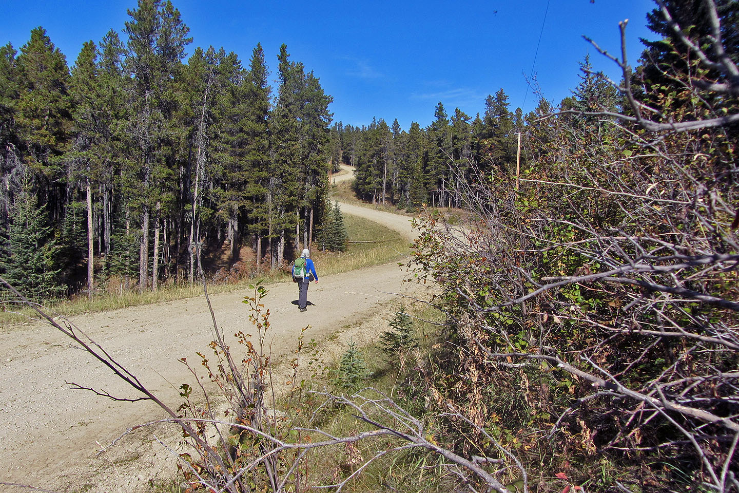
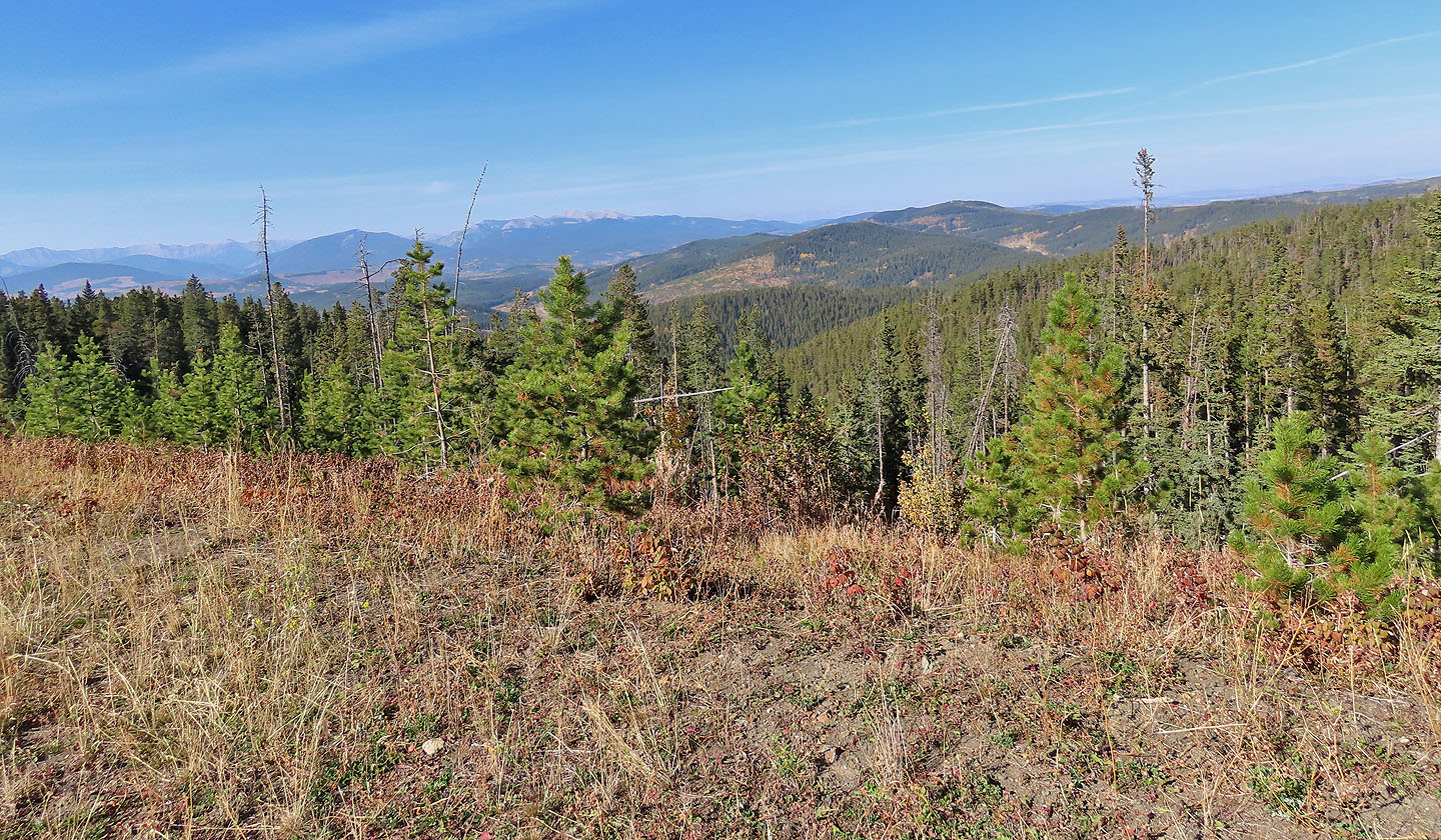
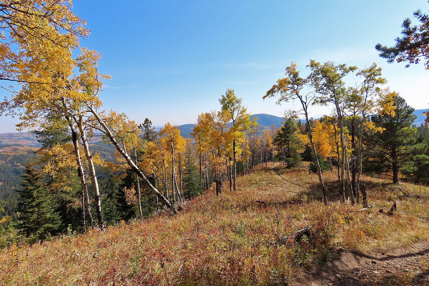
After hiking a few hundred metres from the summit, I turned onto a trail leading to the viewpoint. I had a wonderful sight of the valley blanketed in fall colours. After taking photos, I returned to the ridge trail, now a single track for dirt bikes, and continued down. I passed meadows and stands of yellow aspens that gave way to glimpses of the valley. At the end of the ridge, the trail hits an exploration road lined with trees. I followed the dirt road to a gas well site. From there, a gravel road returns to the trailhead.
I can't speak for other seasons, but fall might be the best time to visit Whiskey Hill. The trails were bone dry, and I encountered little motorized traffic. But most of all, I revelled in the autumn colours.
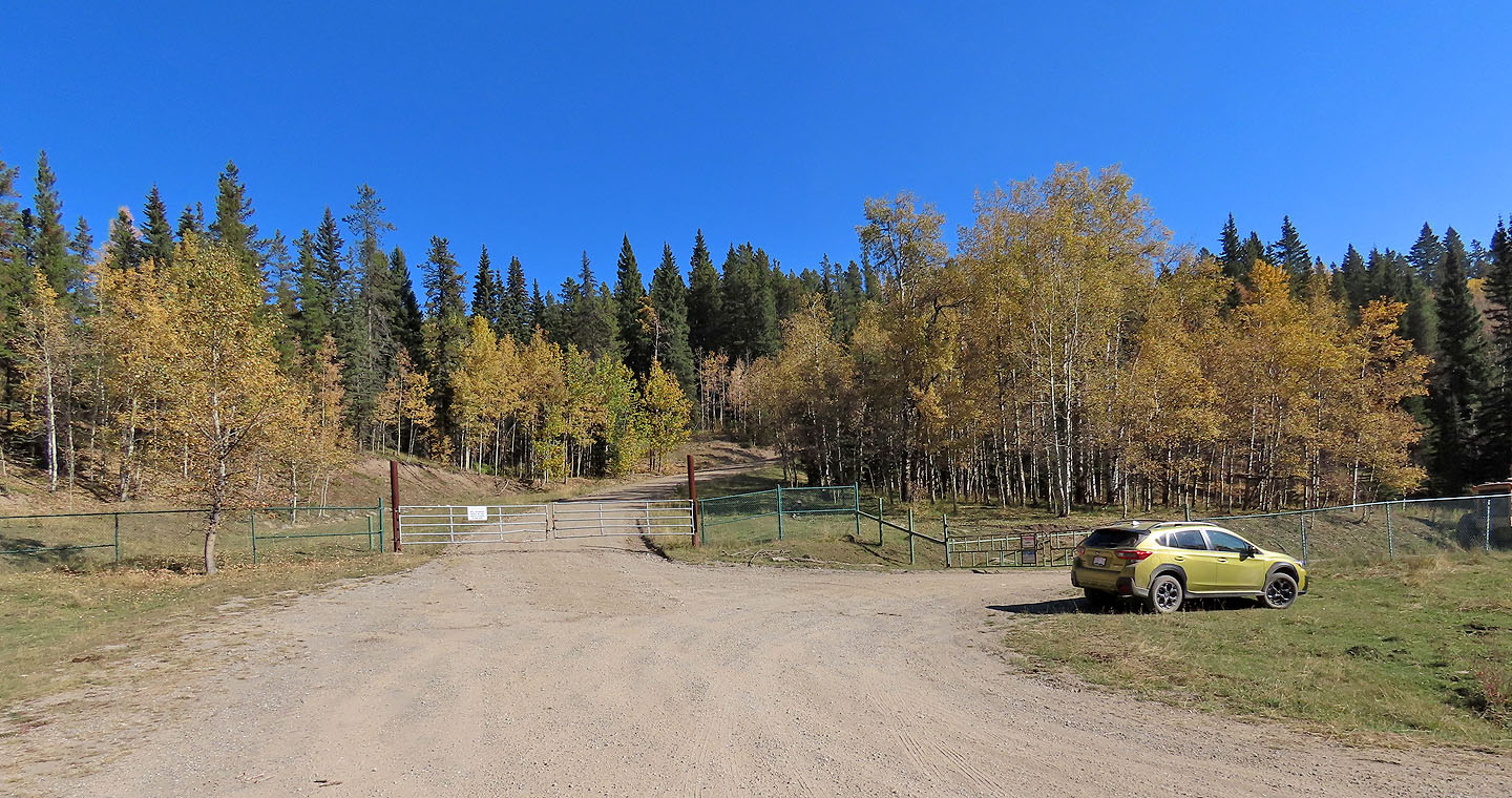
From the trailhead, I went up the service road ahead and returned on the road right
Falls colours had come in
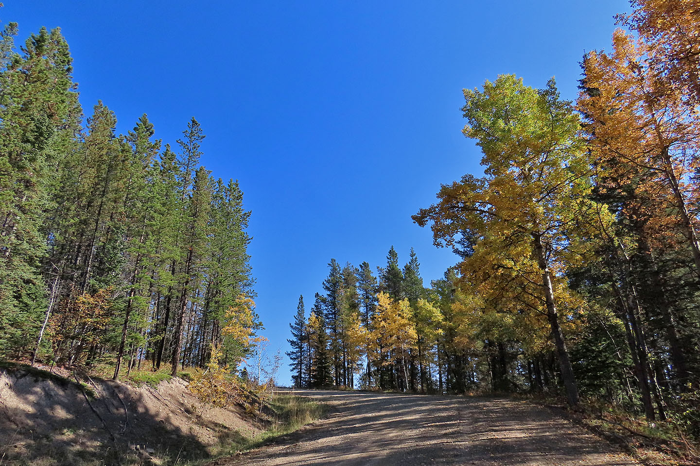
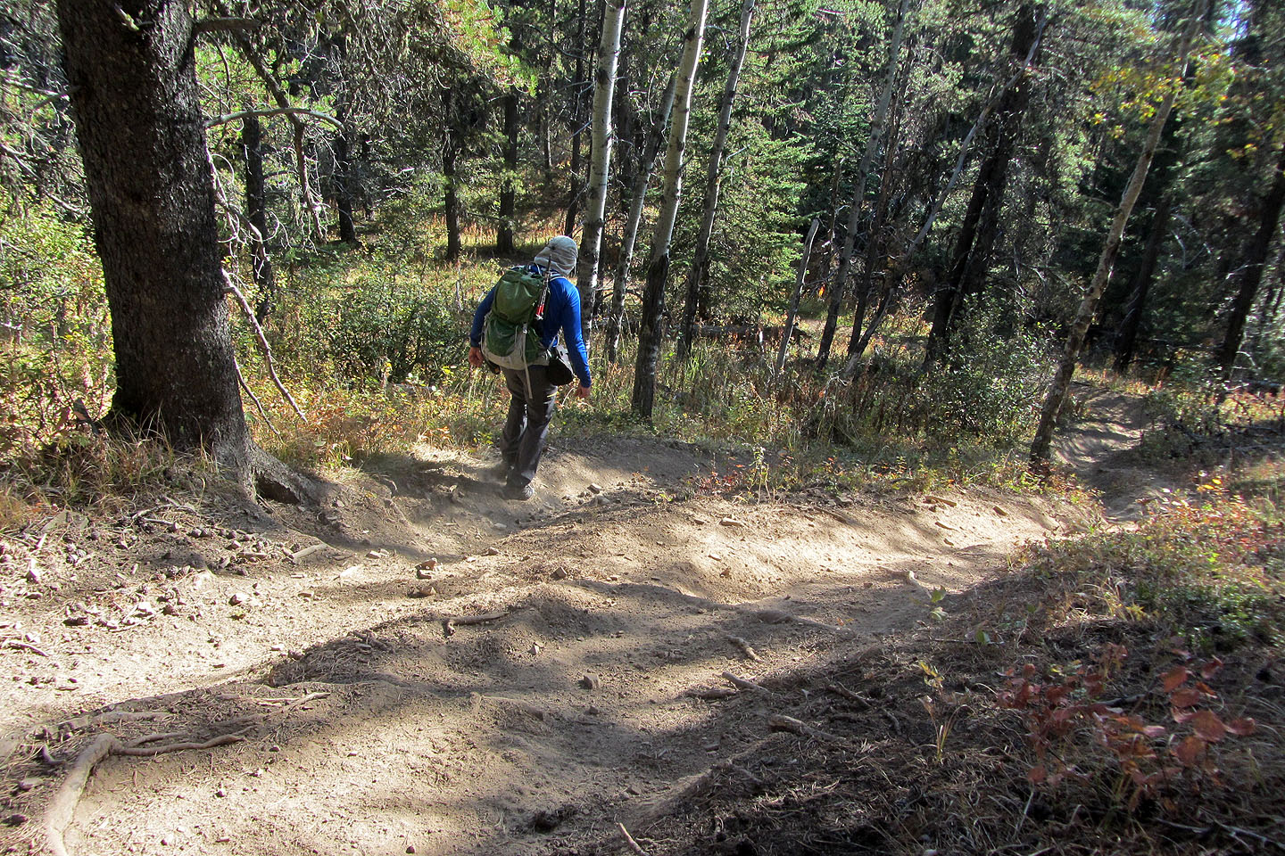
Hiking up the boring road
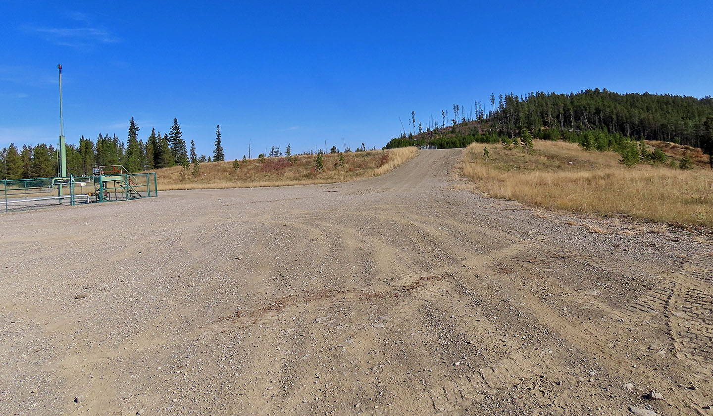
After a gas well site, the summit appears ahead
McLean Hill sits northwest
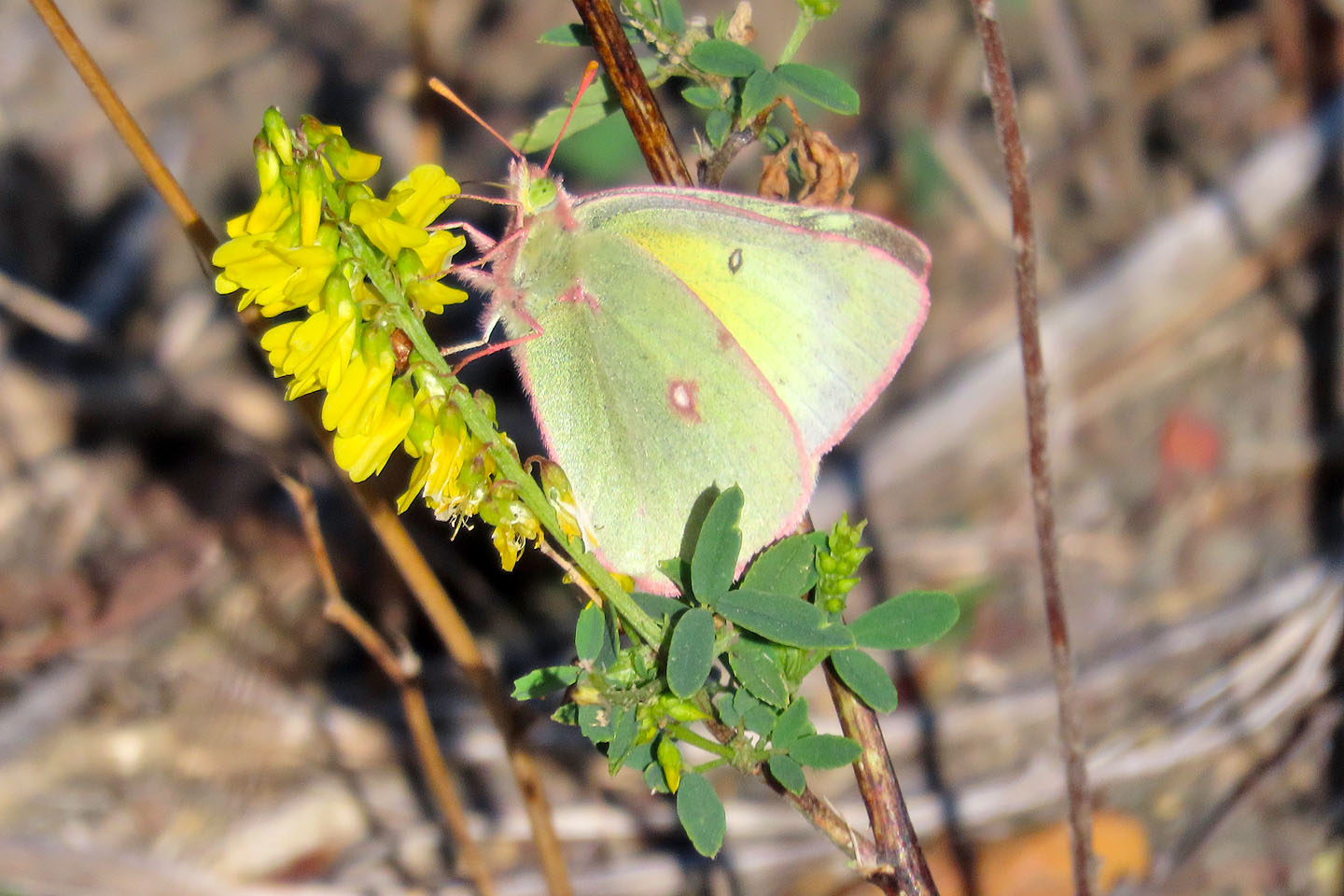
Sulphur butterflies flitted from flower to flower
I left the road and headed to the ATV trail
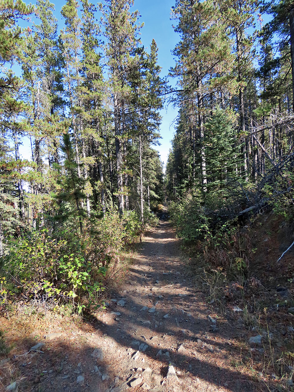
The trail runs perfectly straight
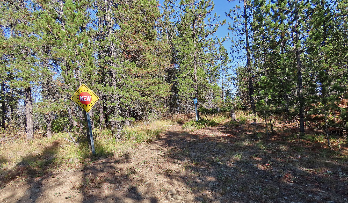
There are no views on the summit
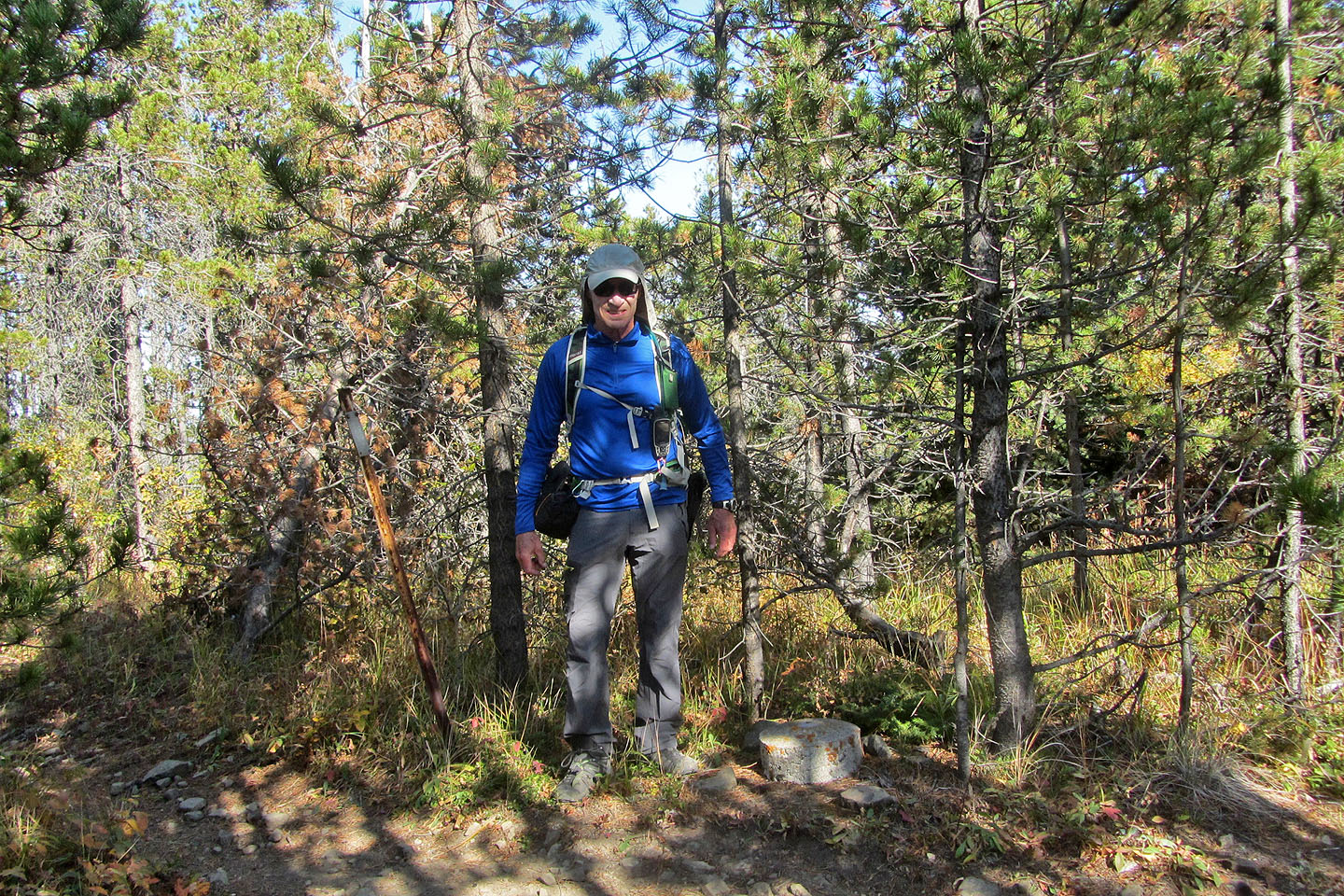 On the summit next to me, a cement block bears a survey marker
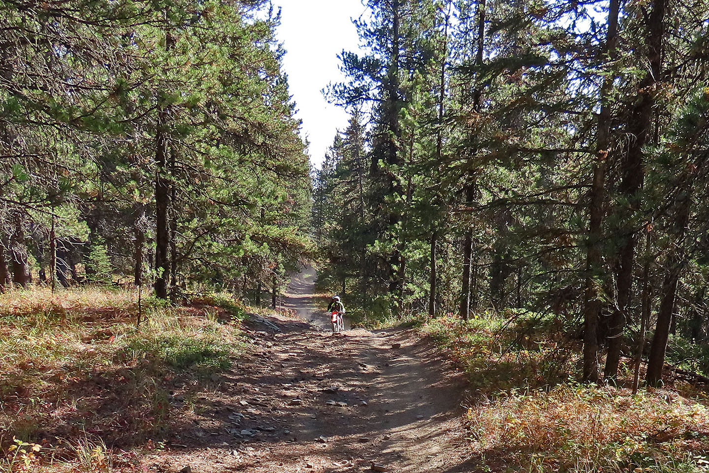
As I started down the south ridge, two motorcycles roared up
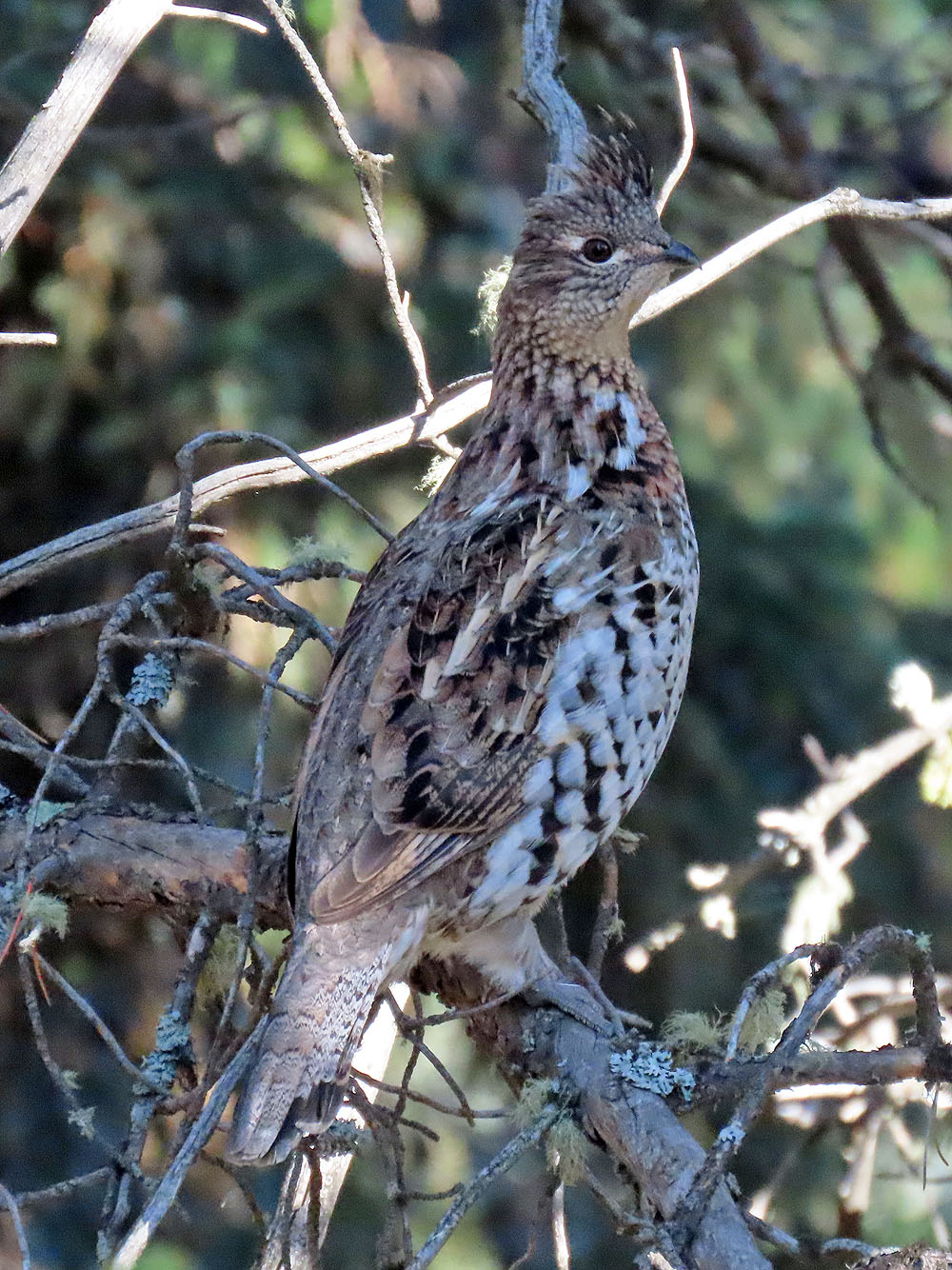
A ruffed grouse watched me from a tree
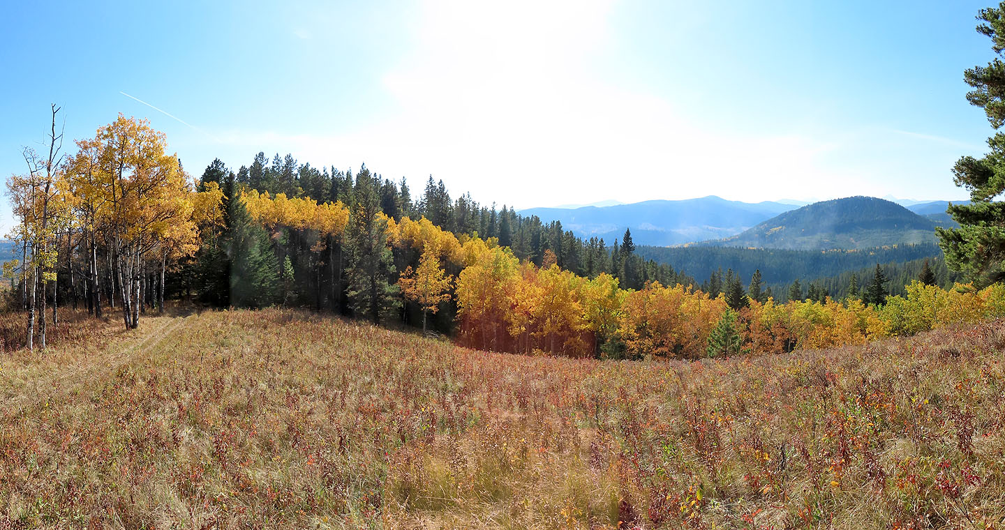
A short side trip leads to a promontory with far-reaching views (see panorama at the top)
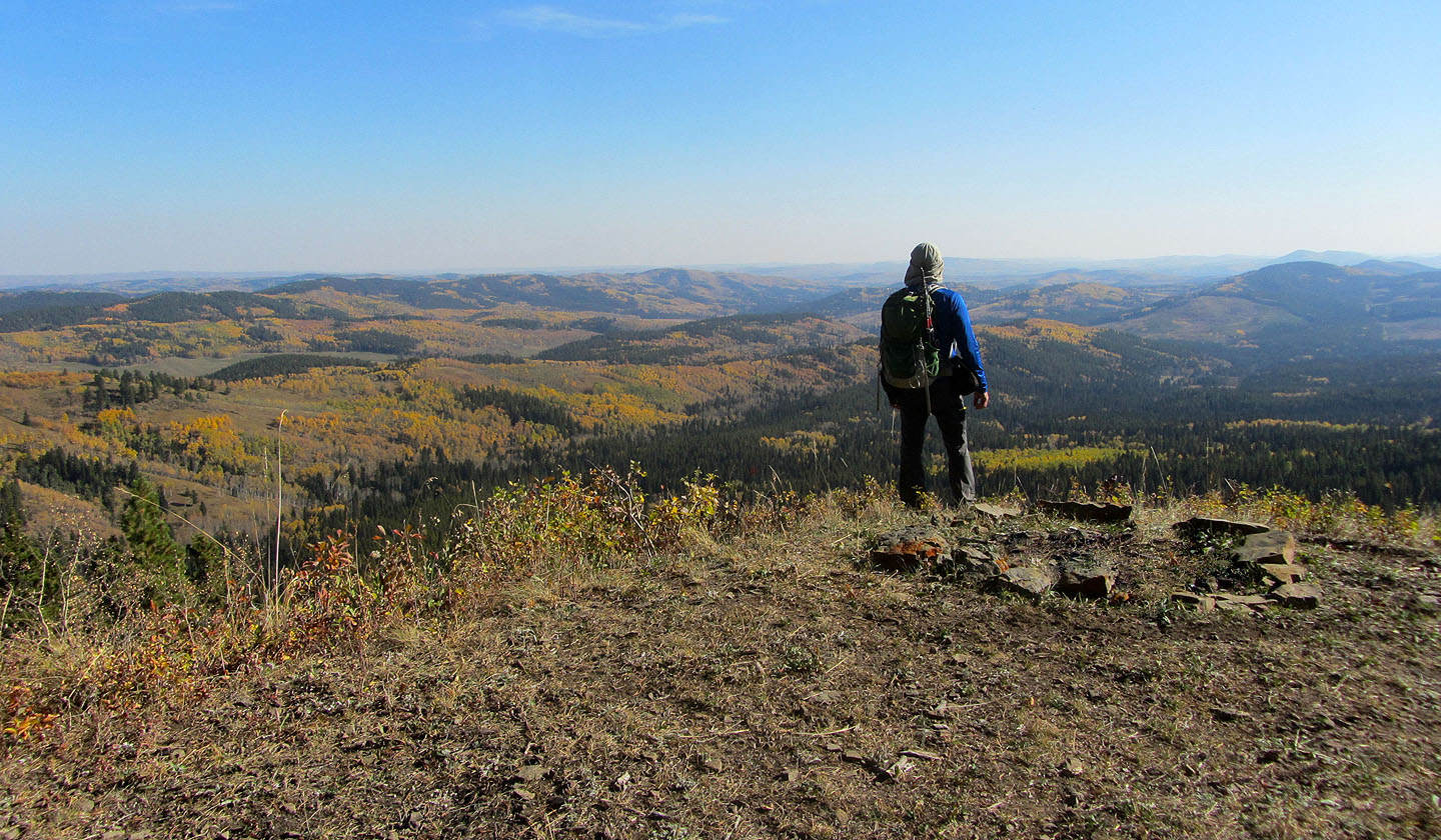
View from the promontory: the green bump right is Mesa Butte
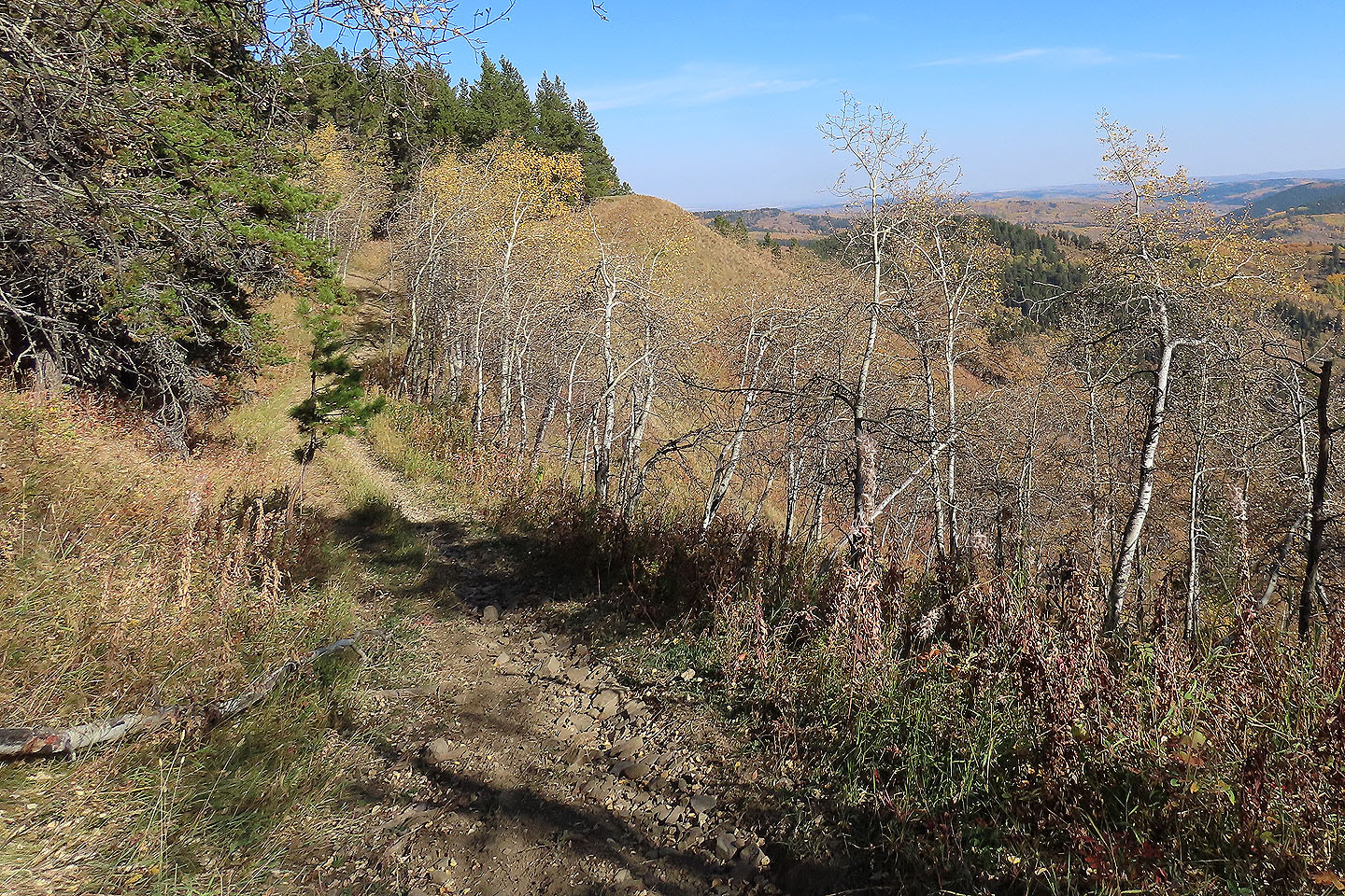
I continued down the south ridge trail
The falls colours made the hike more interesting
Colourful trees appear to march up the ridge
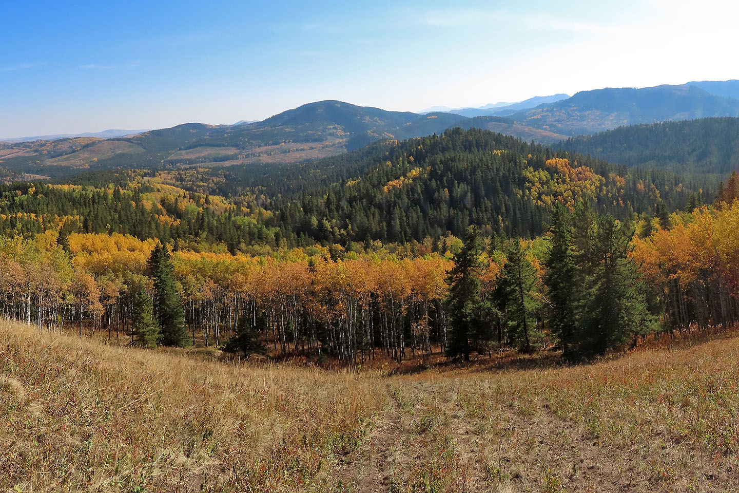
Mesa Butte appears prominent on the skyline
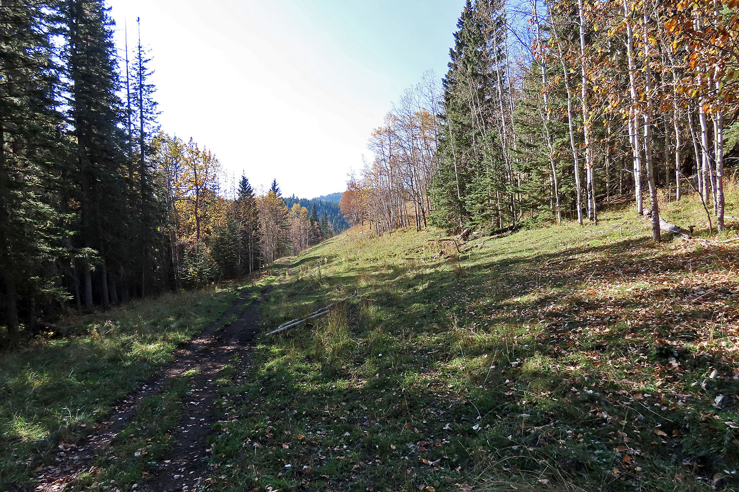
The trail reaches an exploration road that leads back to the trailhead
82 J/15 Bragg Creek