bobspirko.ca | Home | Canada Trips | US Trips | Hiking | Snowshoeing | MAP | About
Vents Ridge (East Approach)
Kananaskis, Alberta
November 2, 2024
Distance: 5.4 km (3.4 mi)
Cumulative Elevation Gain: 330 m (1083 ft)
Vents Ridge enjoys a long hiking season, interesting rock features, and good trails. Typically, hikers follow Powderface and Robb Corri trails to the summit, but for something different, Zora and I went offtrail up the east ridge.
From the parking lot, we crossed the road and climbed a lightly forested, steep slope to the ridgetop. We followed the ridge to a clearing on a bump with a limited view of Vents Ridge before descending to a saddle. There we picked up a faint trail in the forest. The trail kept to the broad ridge before veering left to cut across the slope. Eventually, we hit a well-defined trail that regained the ridge.
We followed the trail first through trees and then over rocks. The final push up steep rocks brought us to the top of Vents Ridge. After a break, we started down the west side. We followed the trail down through trees, over scree and along the base of a cliff band, impressively long as it was high. Eventually we reached the bottom. We followed the trail as it ran alongside Prairie Creek before coming to a narrow footbridge over the water. After crossing the bridge, we followed Prairie Creek trail back to the parking lot.
Postscript: I learned later that GAIA GPS calls the ridge trail White Buddha Alt. It climbs the slope before reaching the ridge top. I returned the following year and used it as an alternative path to Vents Ridge. It makes a quick, short loop when combined with Corri Robb.
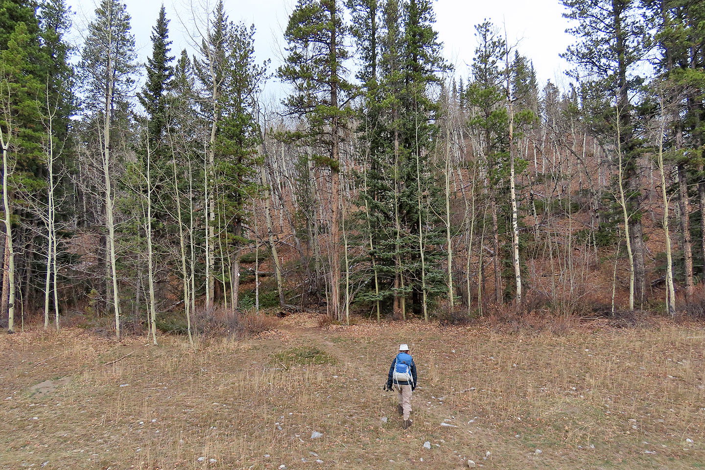 From the parking lot, we crossed the road and hiked up the slope. (We ignored the trail that parallels the road.)
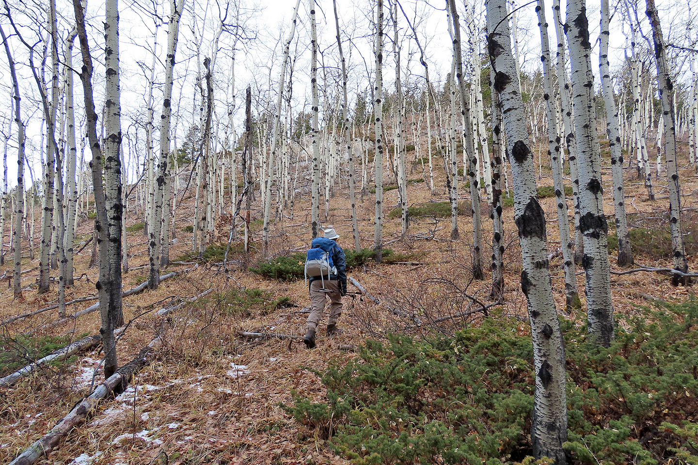 Hiking through aspens on the lower slope
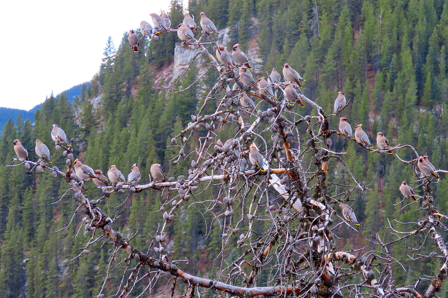 Bohemian waxwings (mouse over for a close-up)
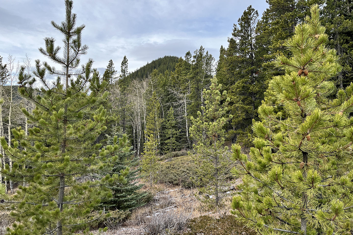 View of the ridge ahead
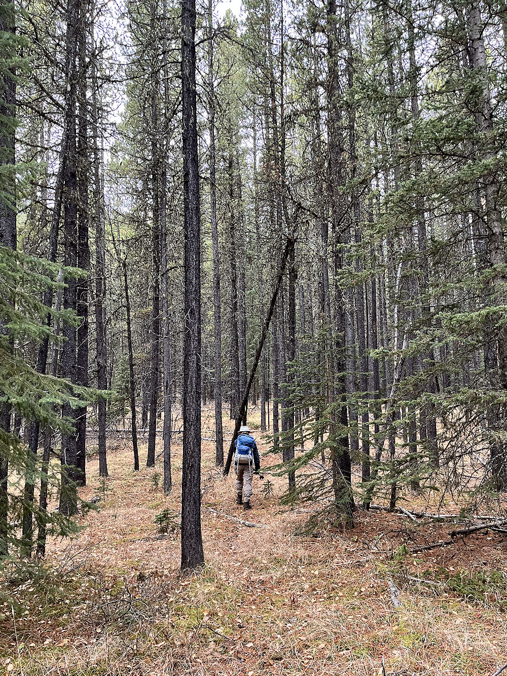
Following a faint trail through the forest
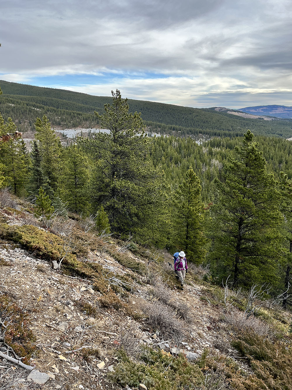
The trail was difficult to follow in clearings
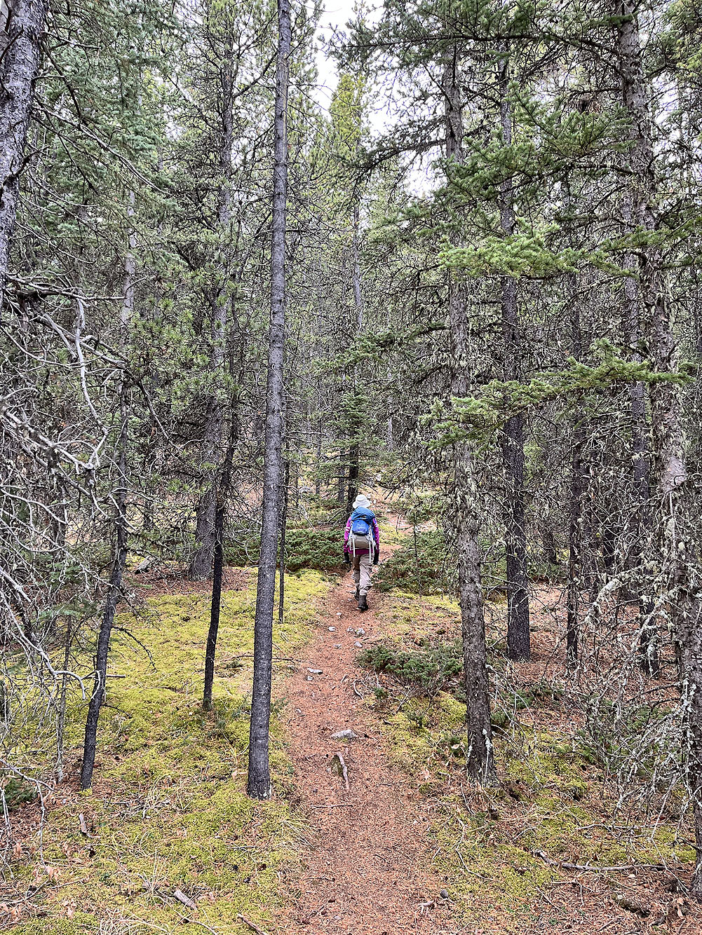
On the ridge trail
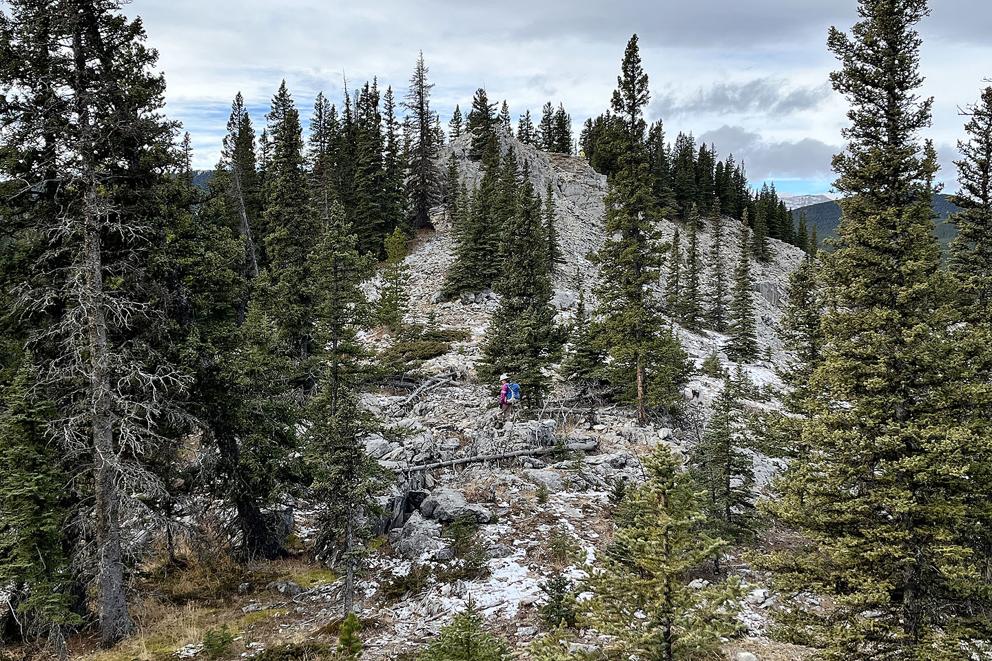 The summit appears ahead
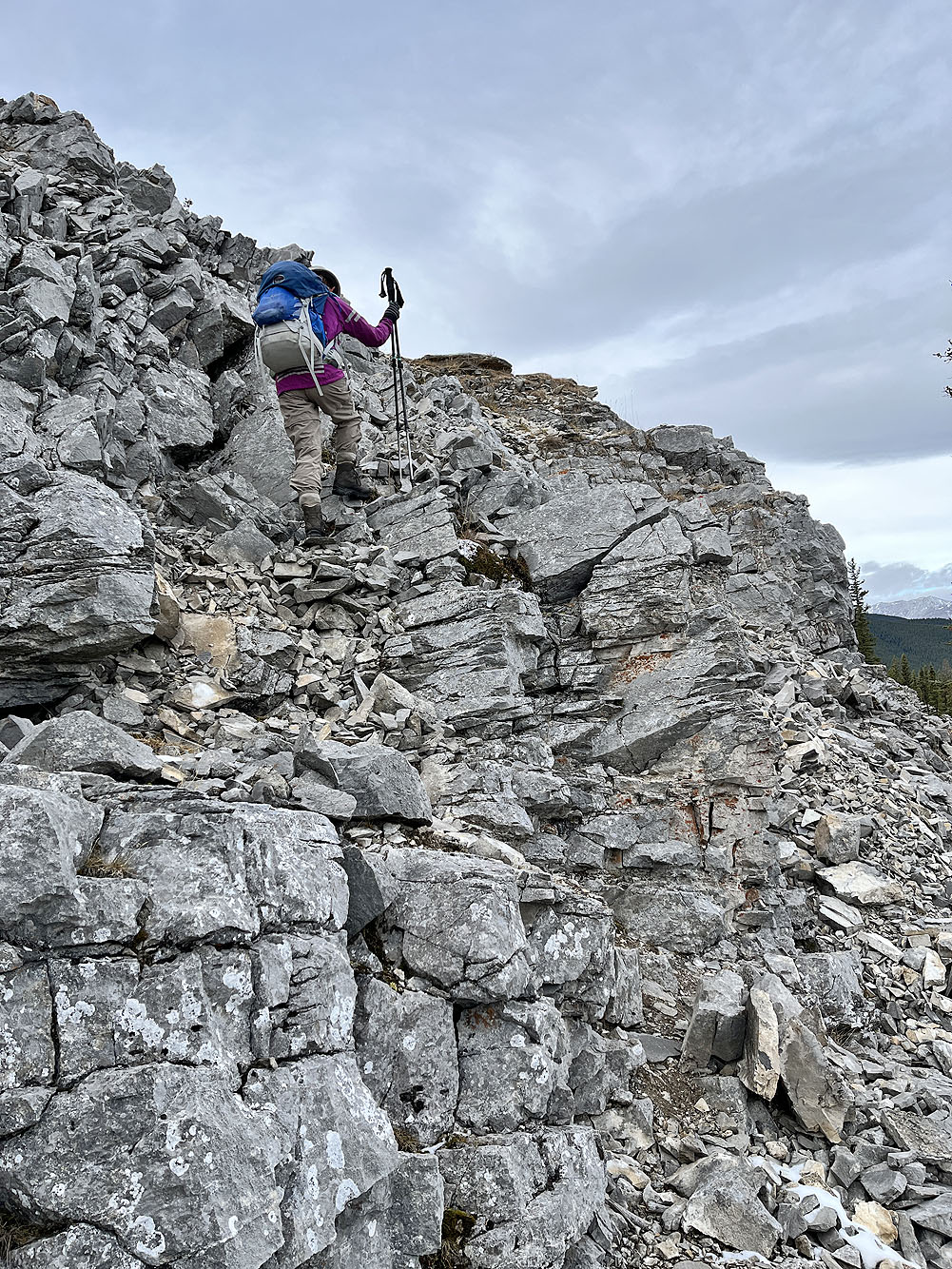
Final steps to the top
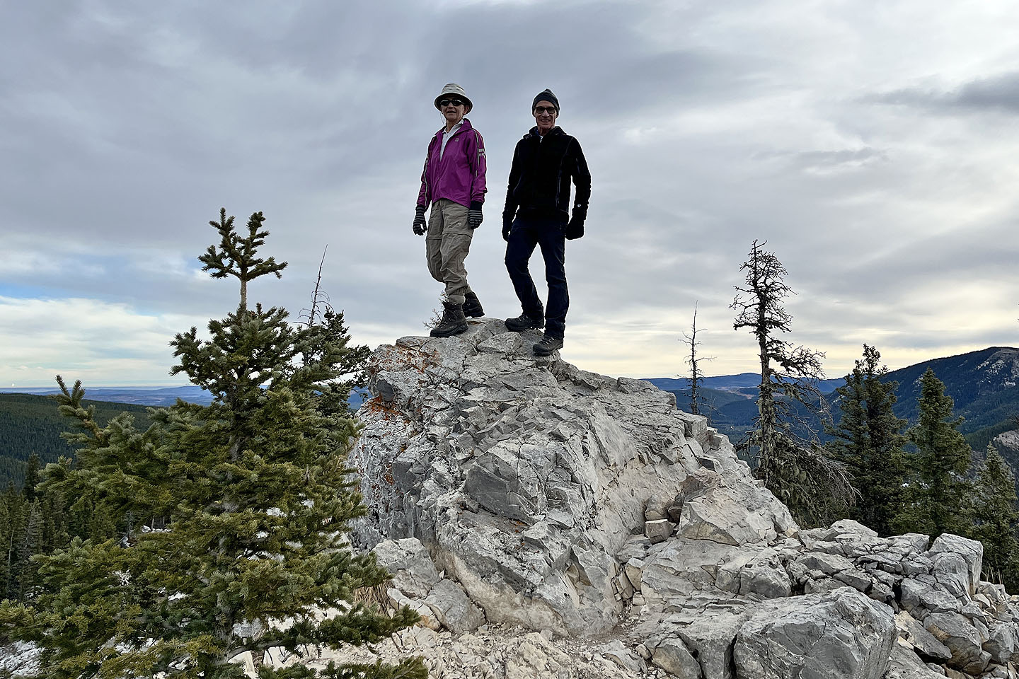 On the summit
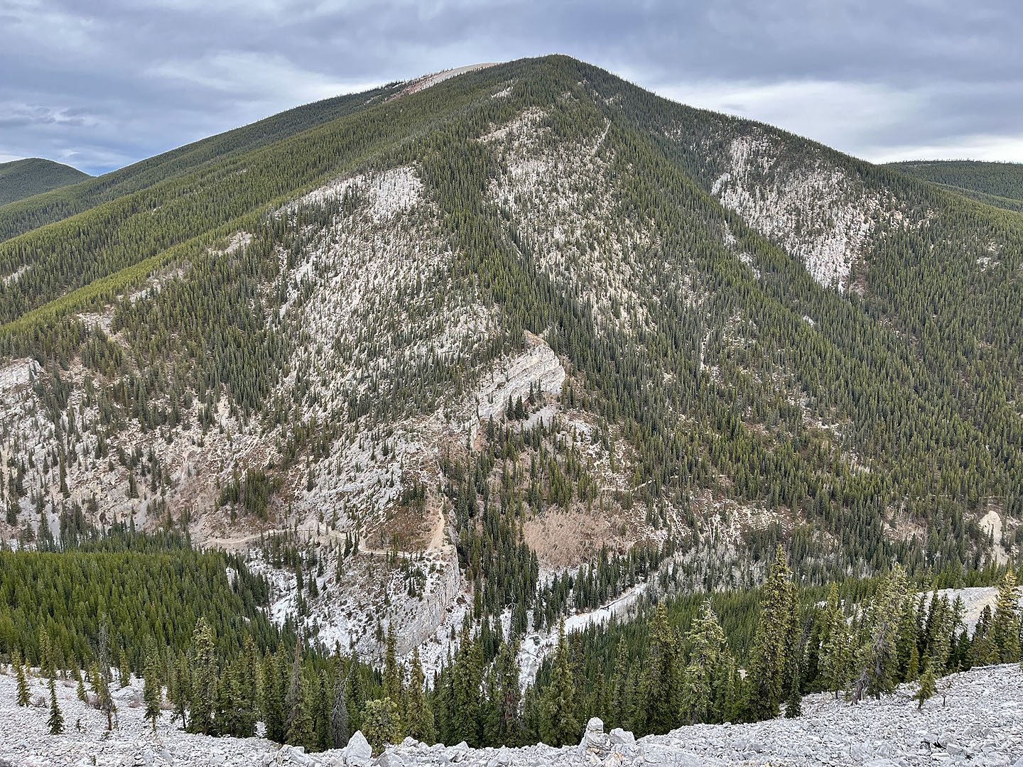 Below Prairie Mountain is Prairie Creek trail which we followed back
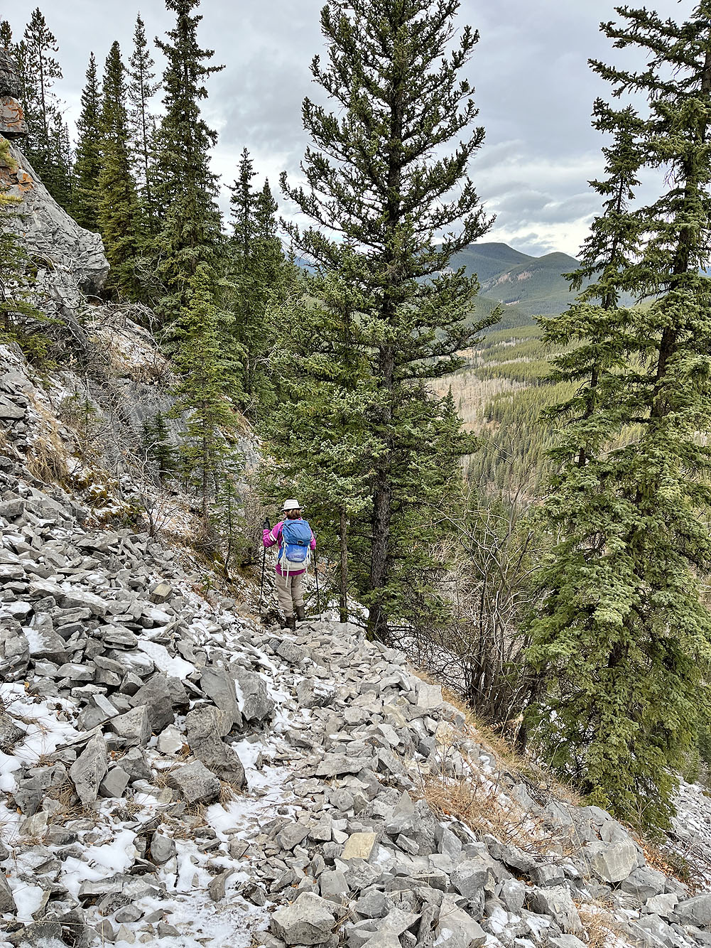
Taking the trail down to Prairie Creek
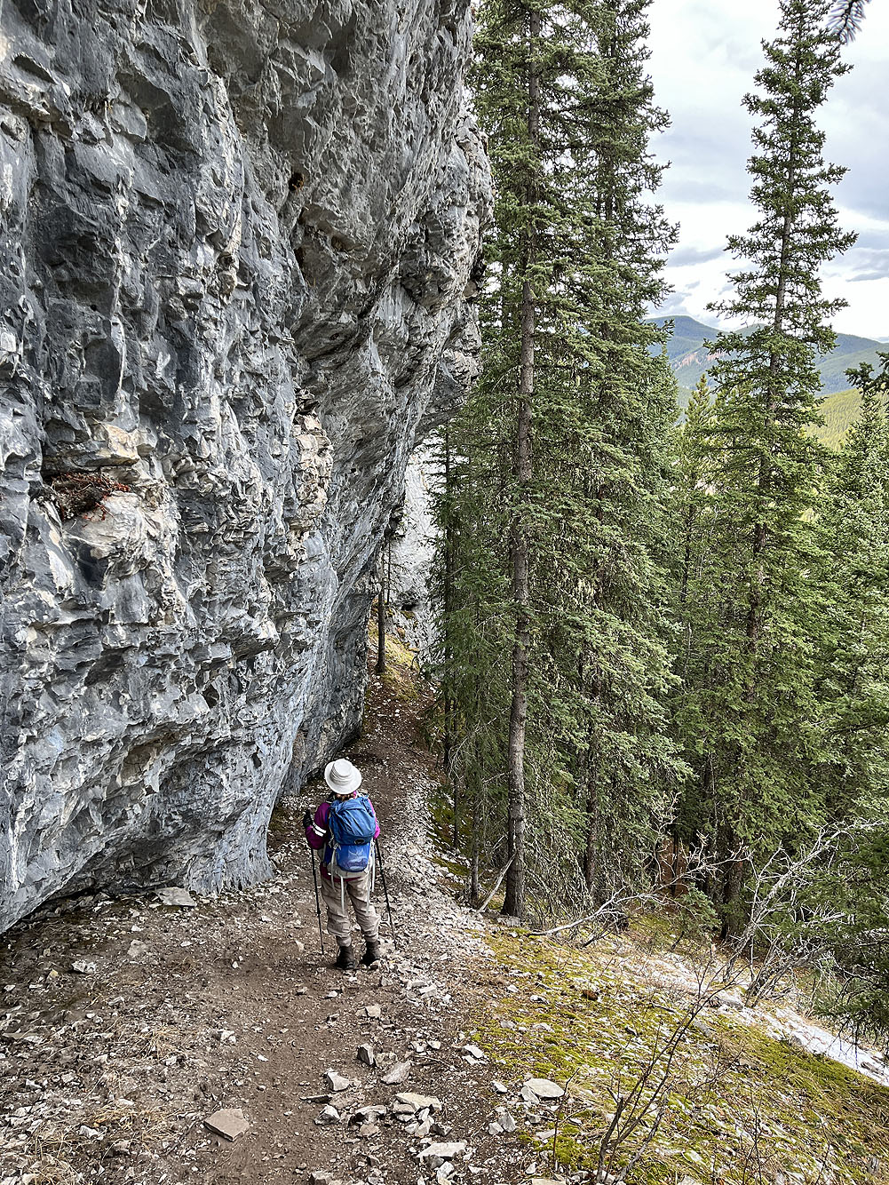
Much of the descent trail follows the base of a cliff band
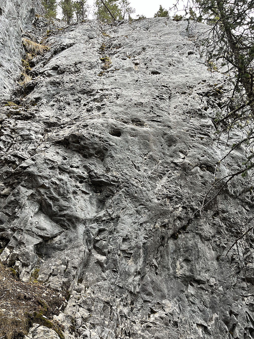
Looking up at one of the climbing walls; the bolts are difficult to see
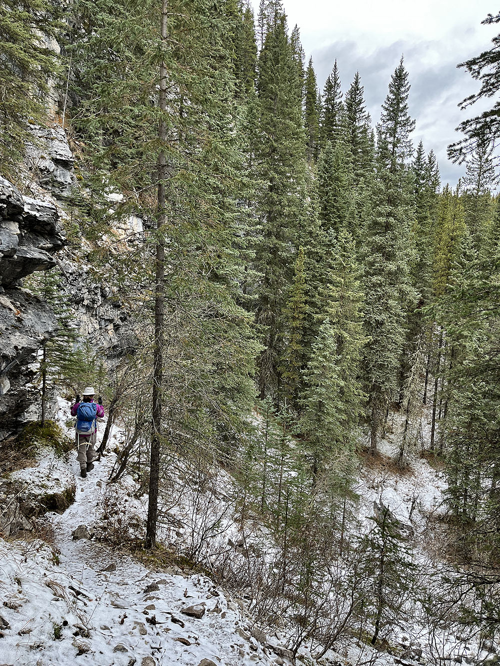
Almost at the bottom
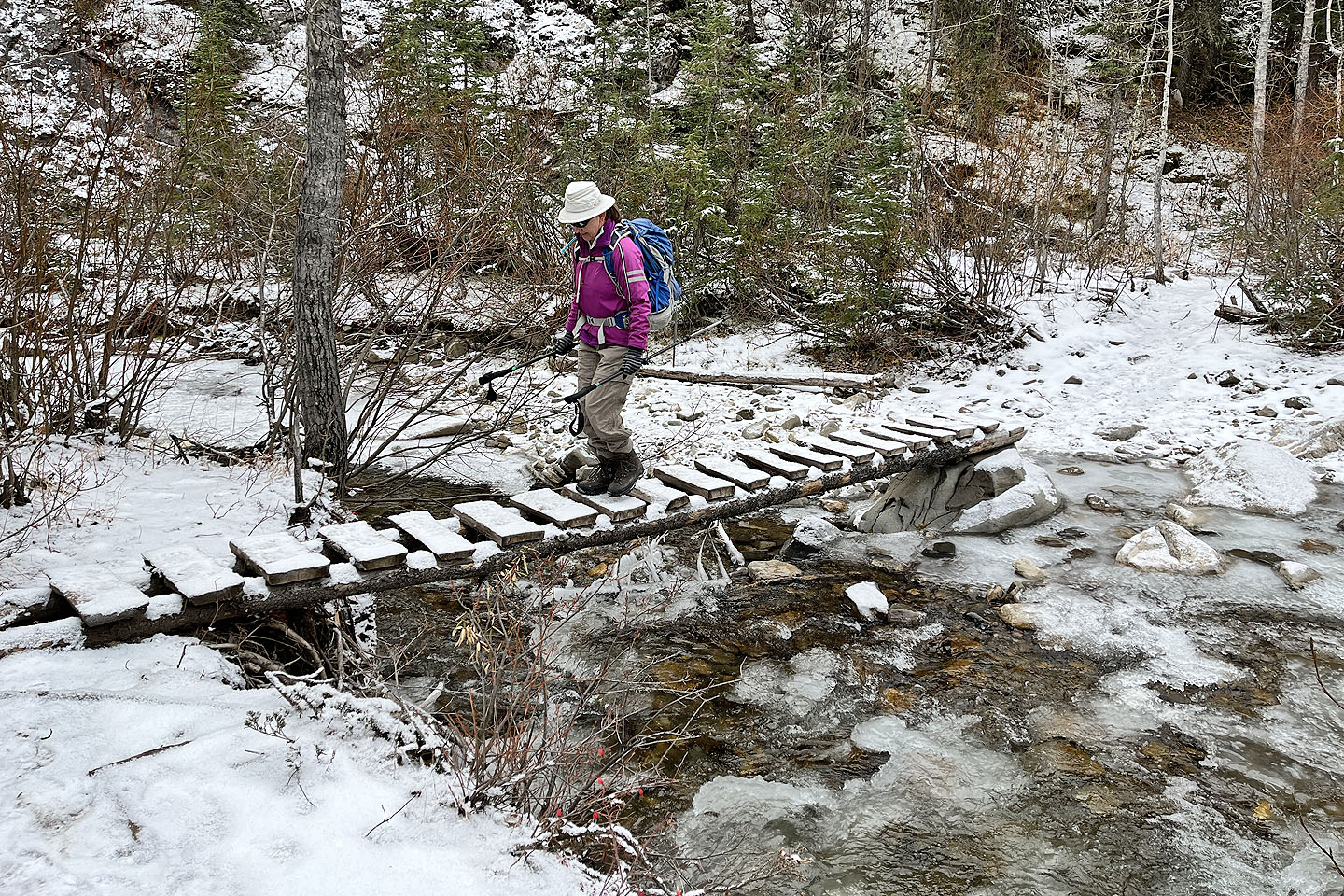 Crossing Prairie Creek
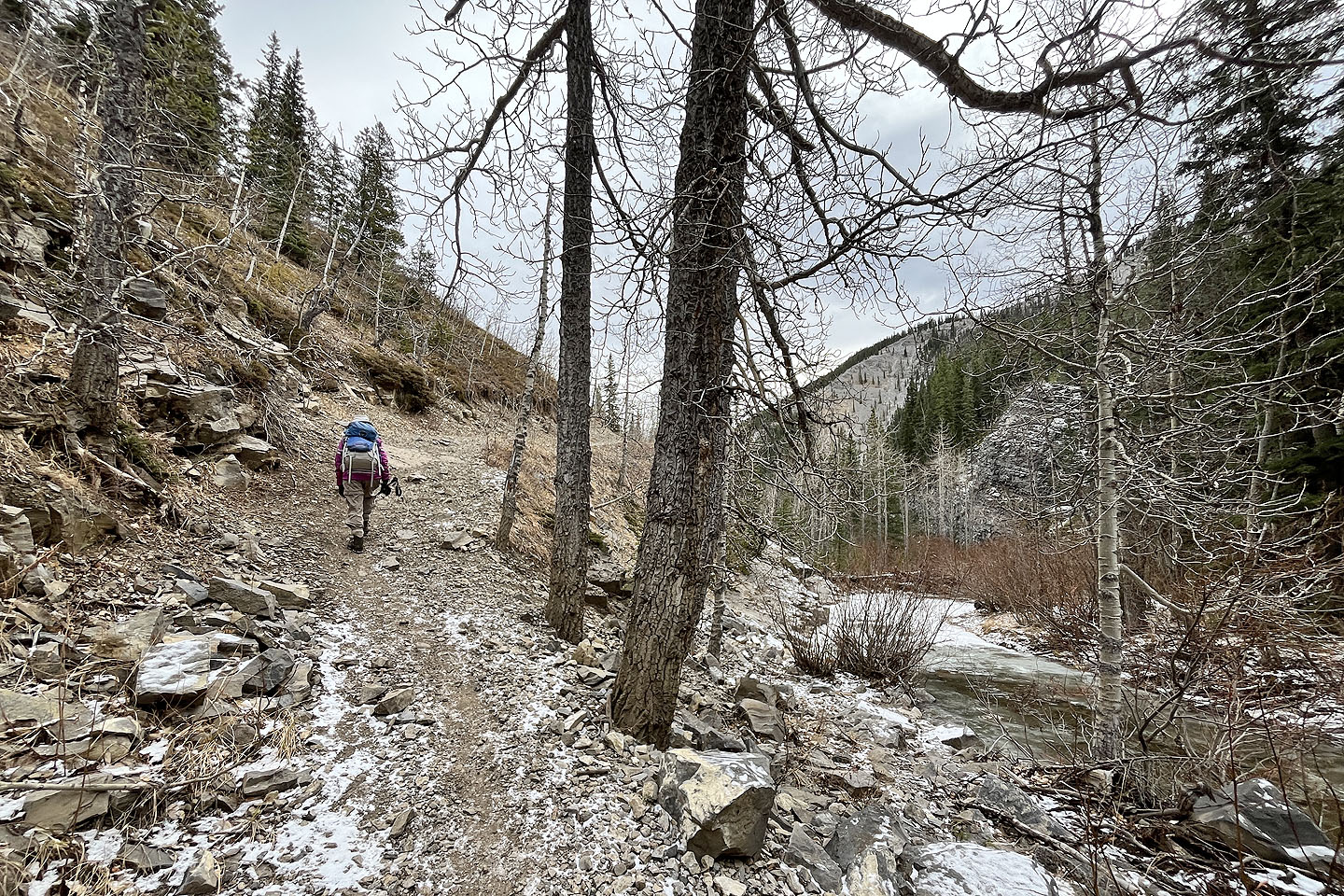 We followed Prairie Creek trail back to the parking lot
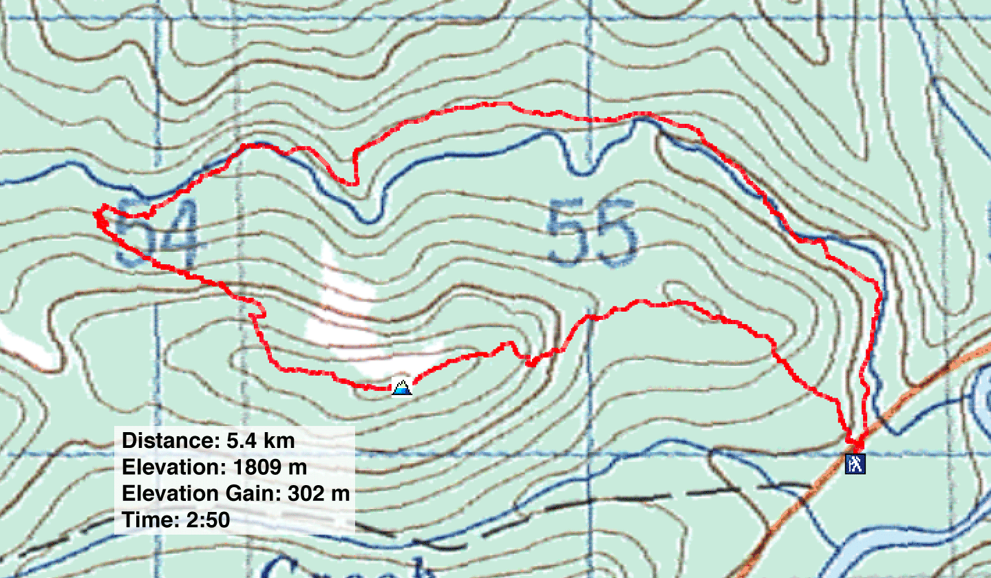
82 J/15 Bragg Creek
