bobspirko.ca | Home | Canada Trips | US Trips | Hiking | Snowshoeing | MAP | About

Snagmore Hill
Kananaskis, Alberta
January 6, 2021
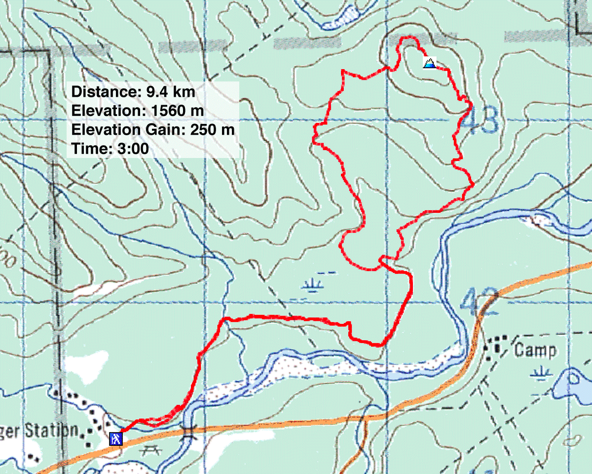
Distance: 9.4 km (5.8 ft)
Cumulative Elevation Gain: 250 m (820 ft)
Snagmore Hill offers few viewpoints, mostly scenery obstructed by trees. And since Dinah and I did it in the winter when aspen trees were bereft of leaves, we probably saw as much as anyone could see, which wasn't very much. But Snagmore does offer a pleasant hike through the woods on good trails.
We started at the Allen Bill trailhead and followed the trail that accesses popular Fullerton Loop. Keeping right at the junctions, we ended up on Snagmore trail. This trail passes spots where you can see Elbow River and McLean Hill but little else. After it turns north and begins to climb in earnest, the trail doesn't permit any views, although glades provide breaks from the trees. The summit itself is easy to miss, just a nondescript, treed bump a few metres from the trail. We continued down the other side to complete a loop back to the main trail.
There might be more to this hike than what we saw, but we were distracted by events taking place on a hill 3,000 km away: Capitol Hill. Dinah's son David kept us informed with texts. Rioters were invading the U.S. Capitol while we were hiking peacefully up Snagmore Hill.
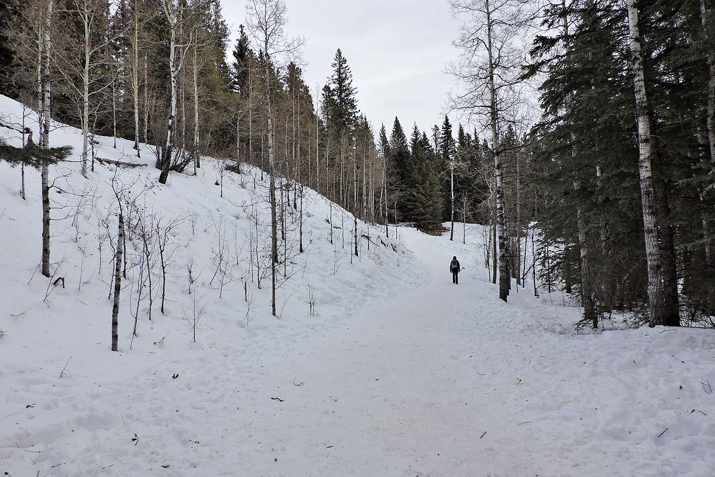
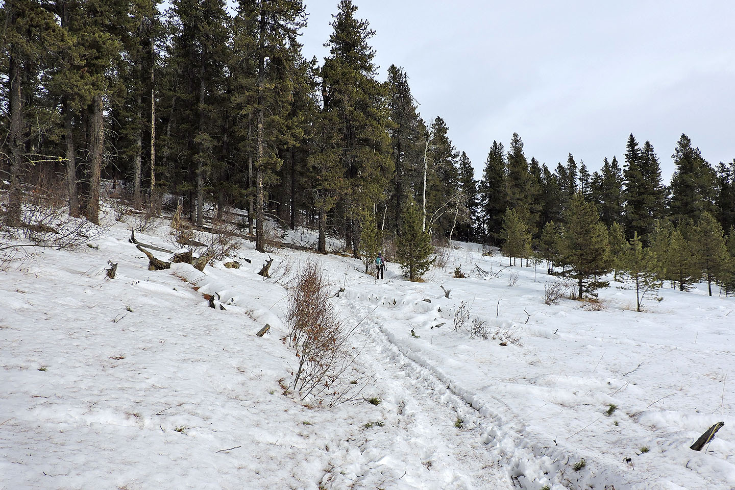
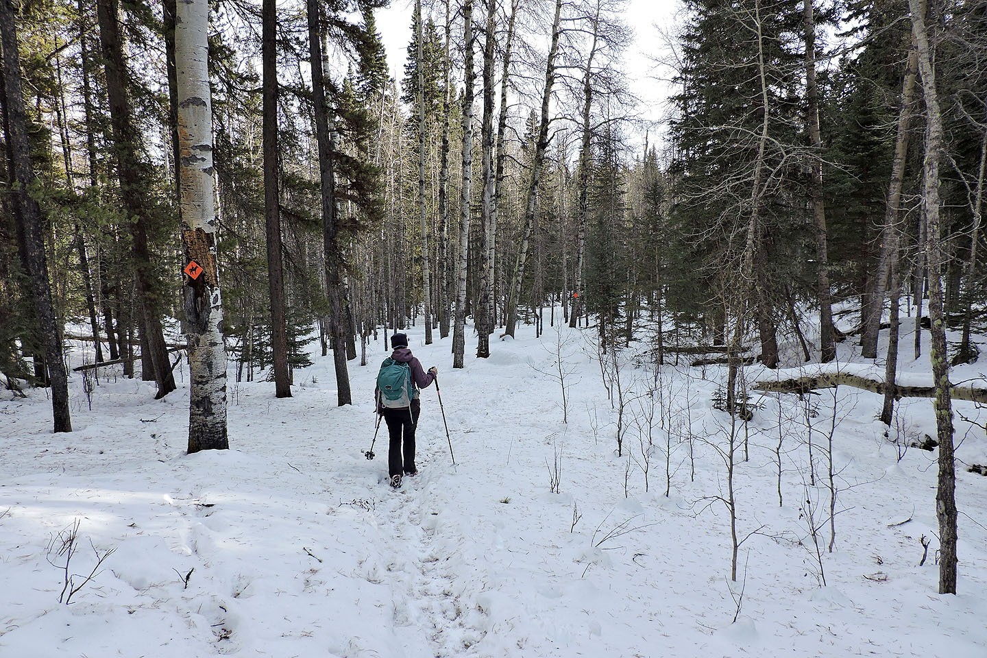
Starting up the trail
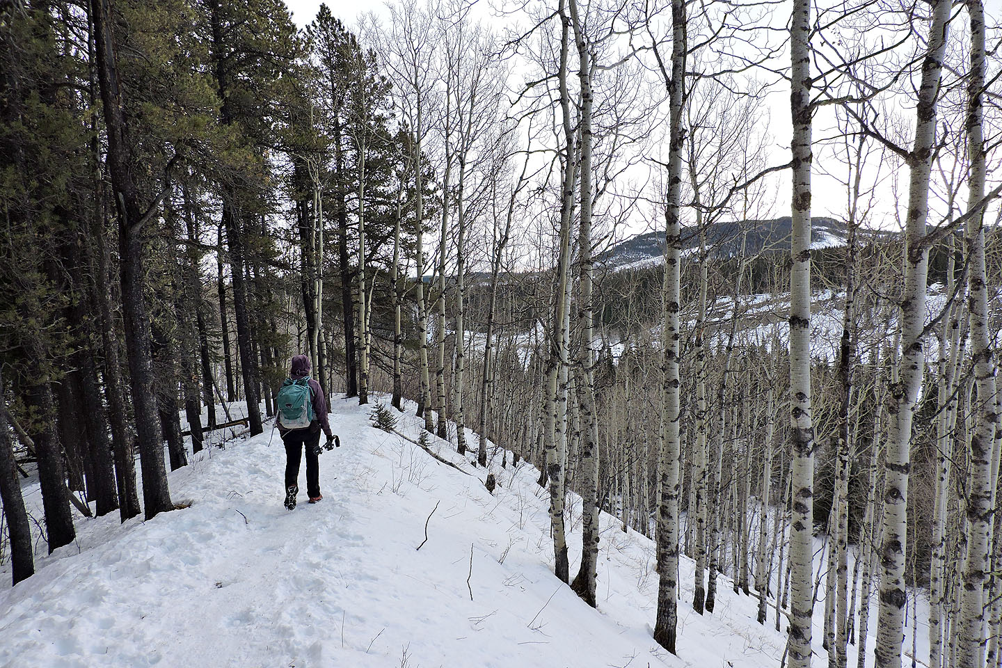
We followed a ridge lined with aspens
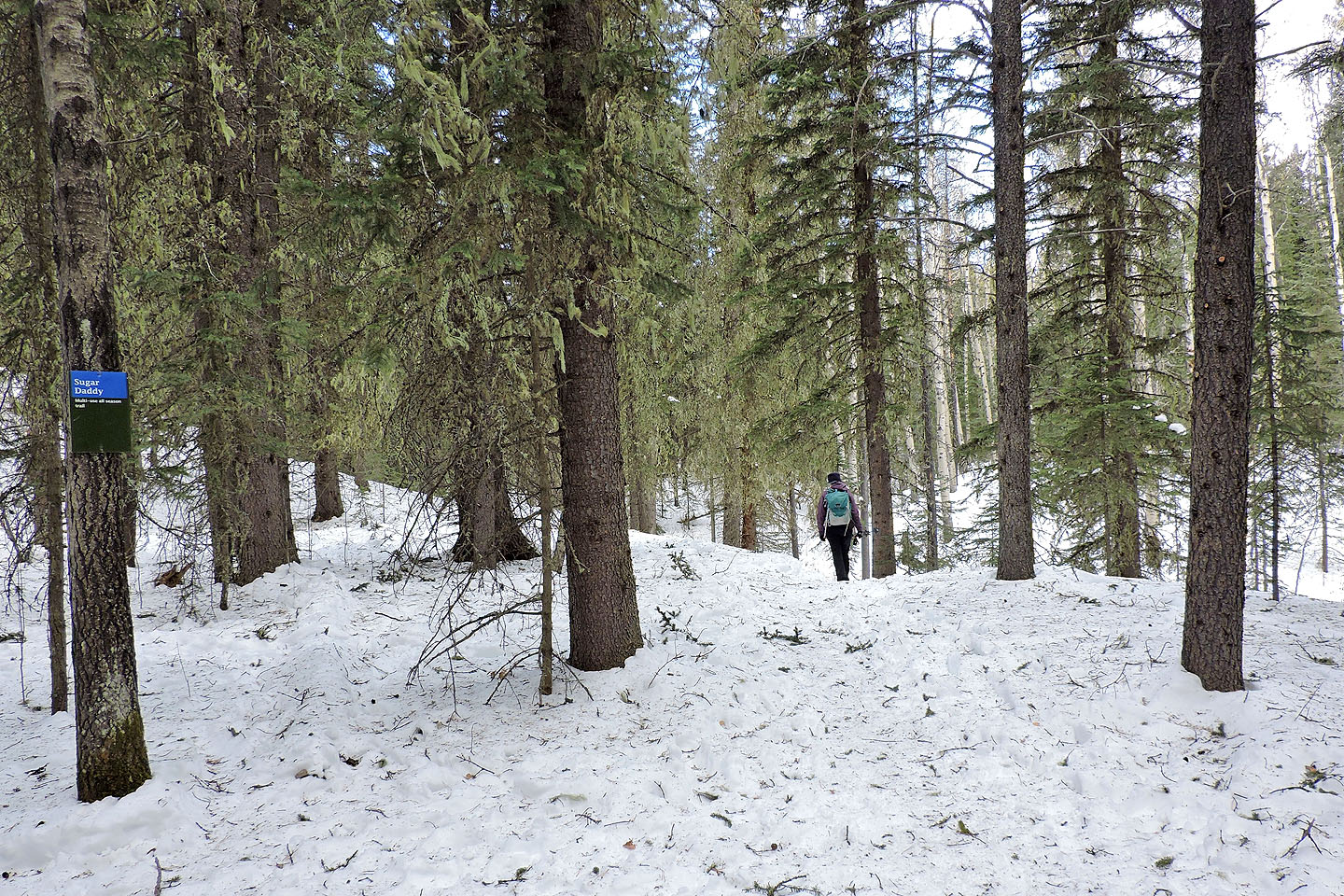
We passed Sugar Daddy trail. Later we would come back on this trail.
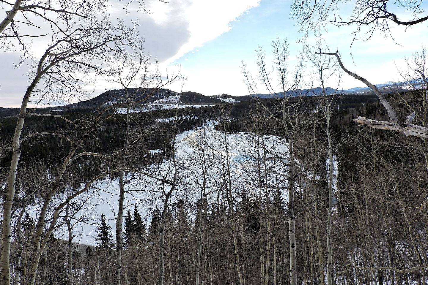
A south-facing viewpoint reveals McLean Hill
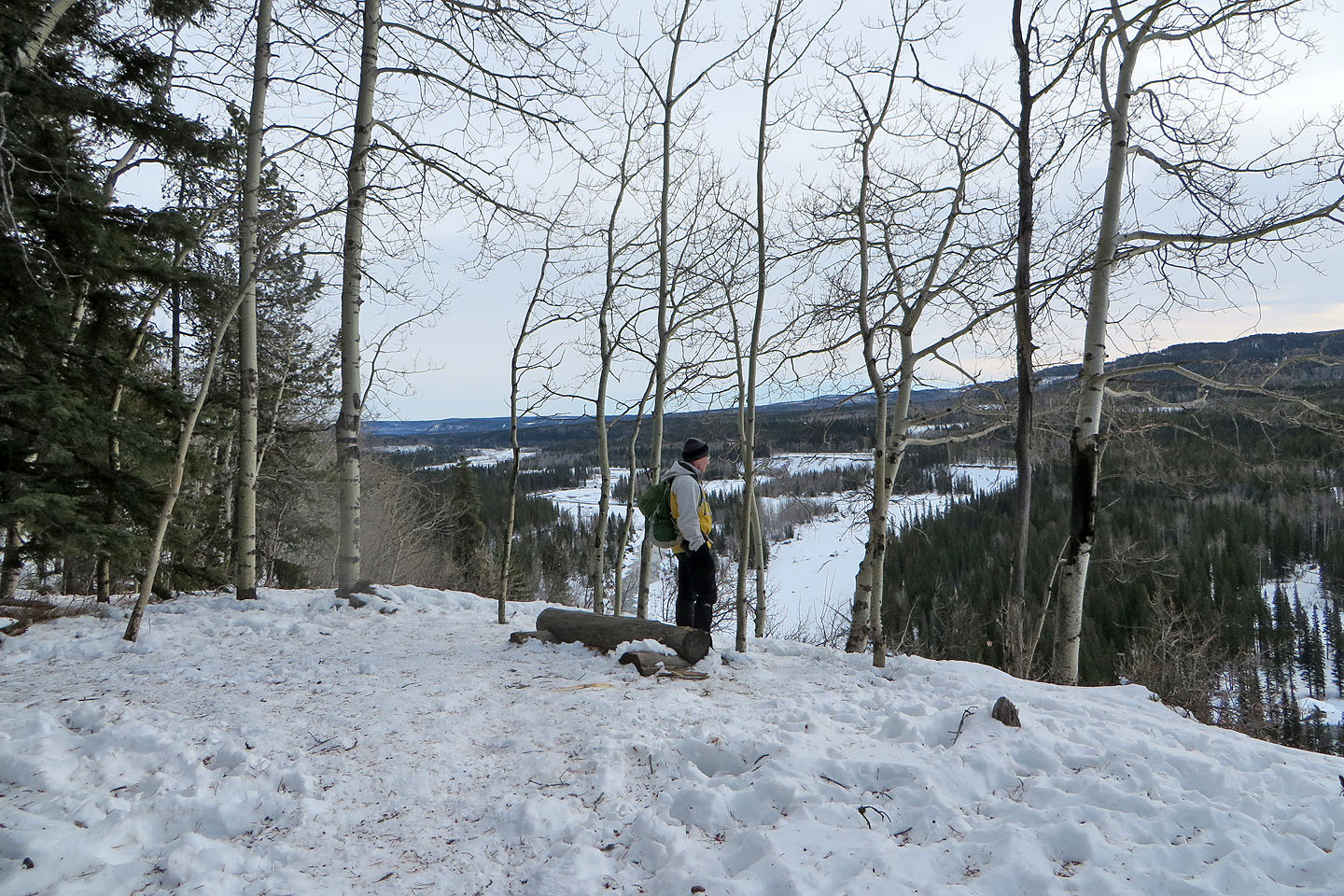
Another viewpoint
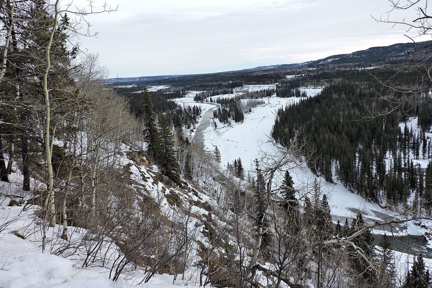
Looking east at Elbow River
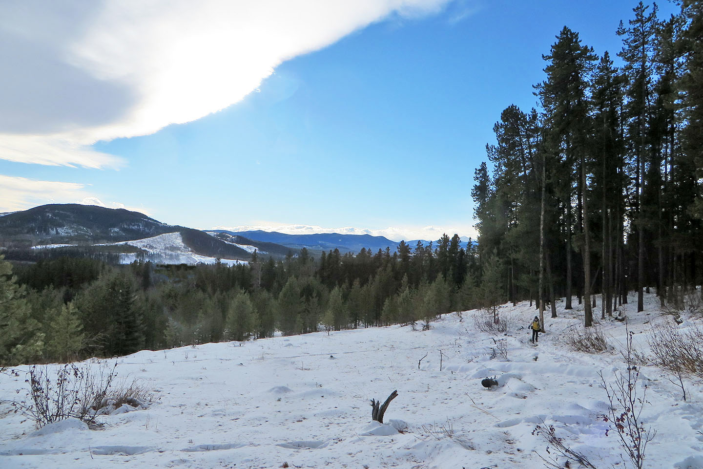
The trail crosses a large clearing
Looking back
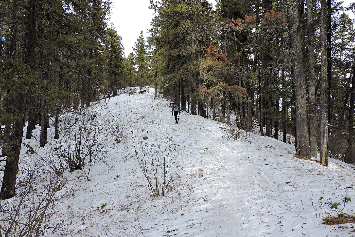
Final climb to the summit
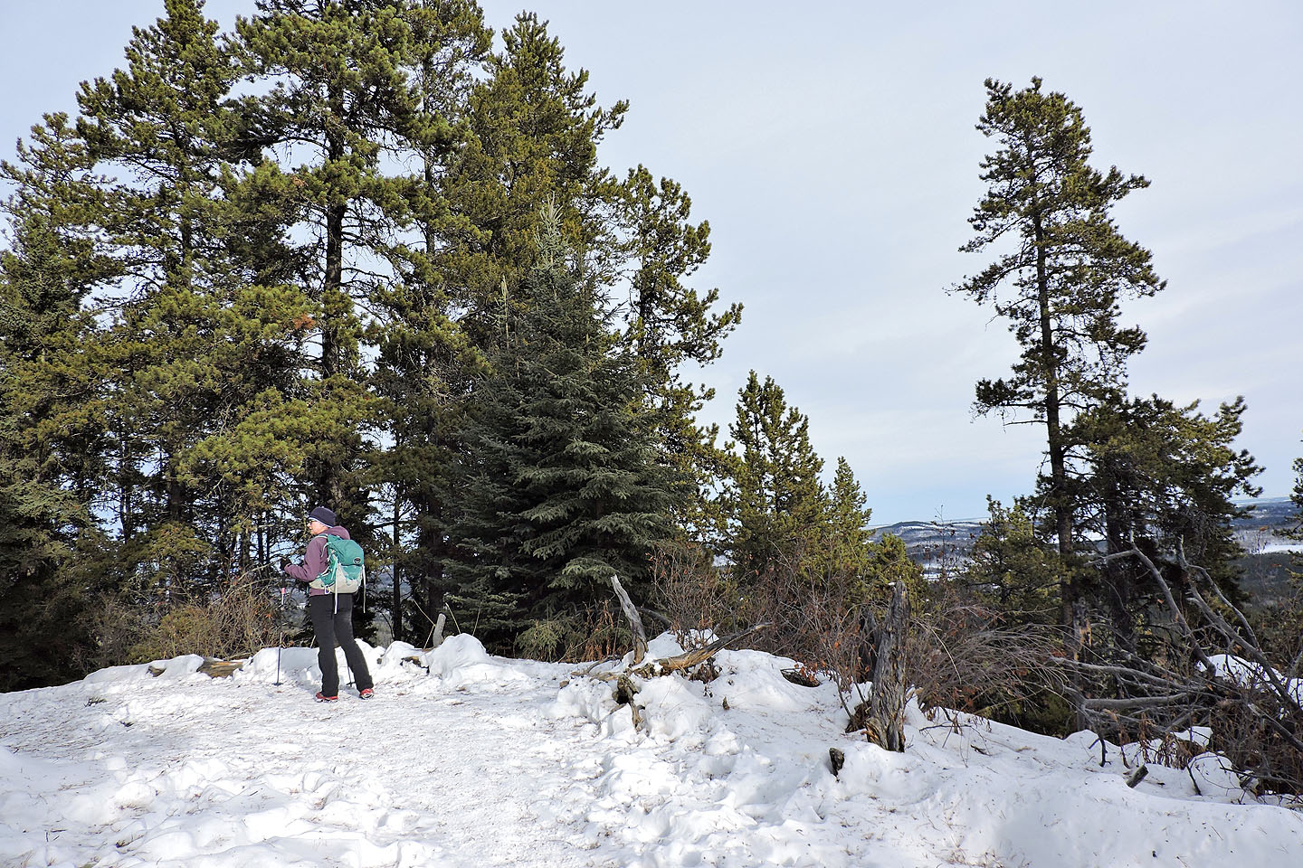
The false summit
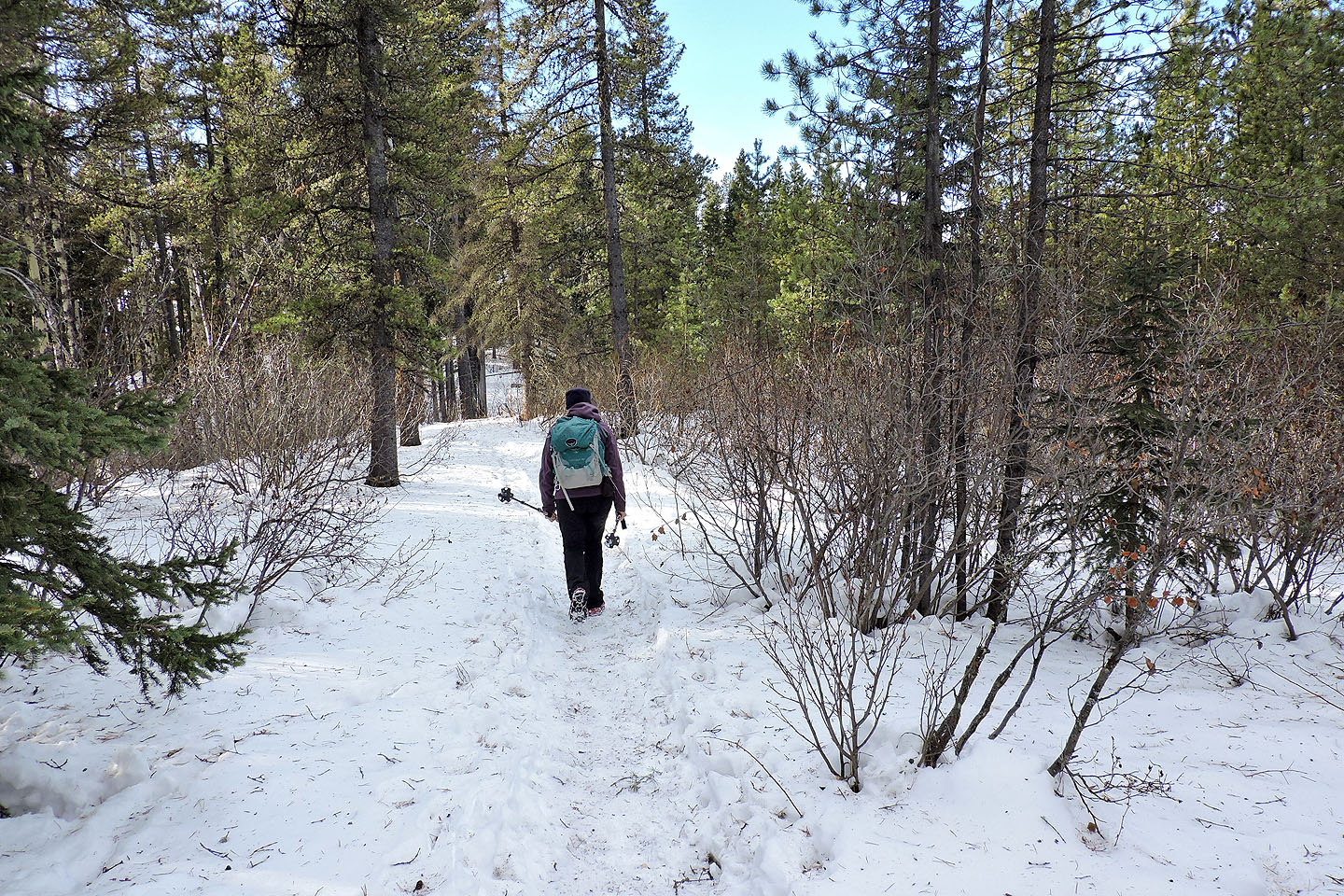
Heading down from the summit
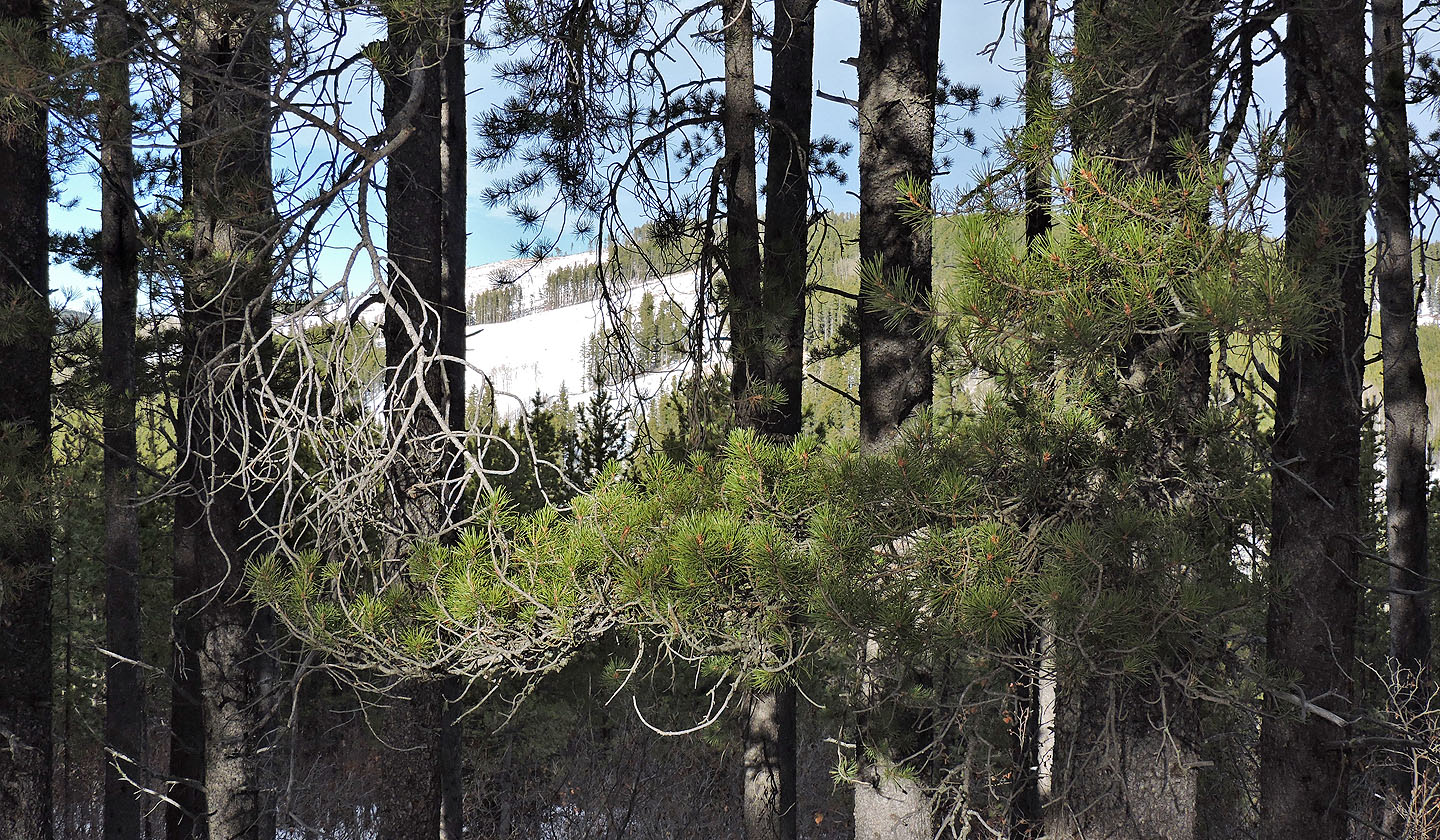
We got a glimpse of Boundary Ridge through the trees
We followed a horse trail for a time
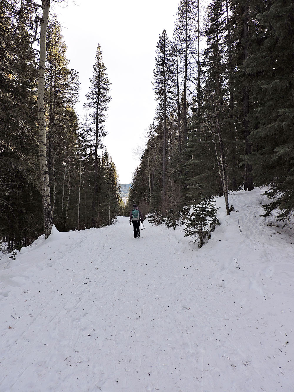
We finished the loop by taking a ski trail to Sugar Daddy trail
82 J/15 Bragg Creek