bobspirko.ca | Home | Canada Trips | US Trips | Hiking | Snowshoeing | MAP | About
Boundary Ridge
aka Fisher Ridge
Kananaskis, Alberta
September 1, 2020
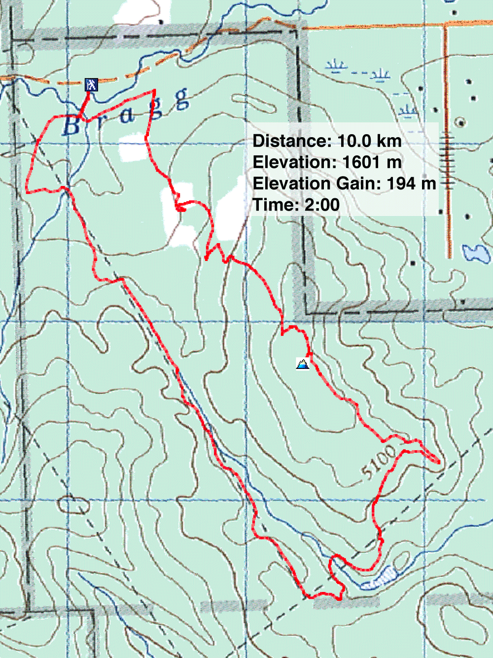
Distance: 10.0 km (6.2 mi)
Cumulative Elevation Gain: 347 m (1138 ft)
When I first posted this trip, I called it Fisher Ridge, a name I had taken from Kananaskis Country Trail Guide. A week later, I heard from Alf Skrastins, and he corrected me on the name. The "almost official" name, he pointed out, is Boundary Ridge: "Fisher Ridge is a name that Gillean Daffern made up and used in her out-of-date guidebooks." The correction makes sense since the trail I used is called Boundary Ridge.
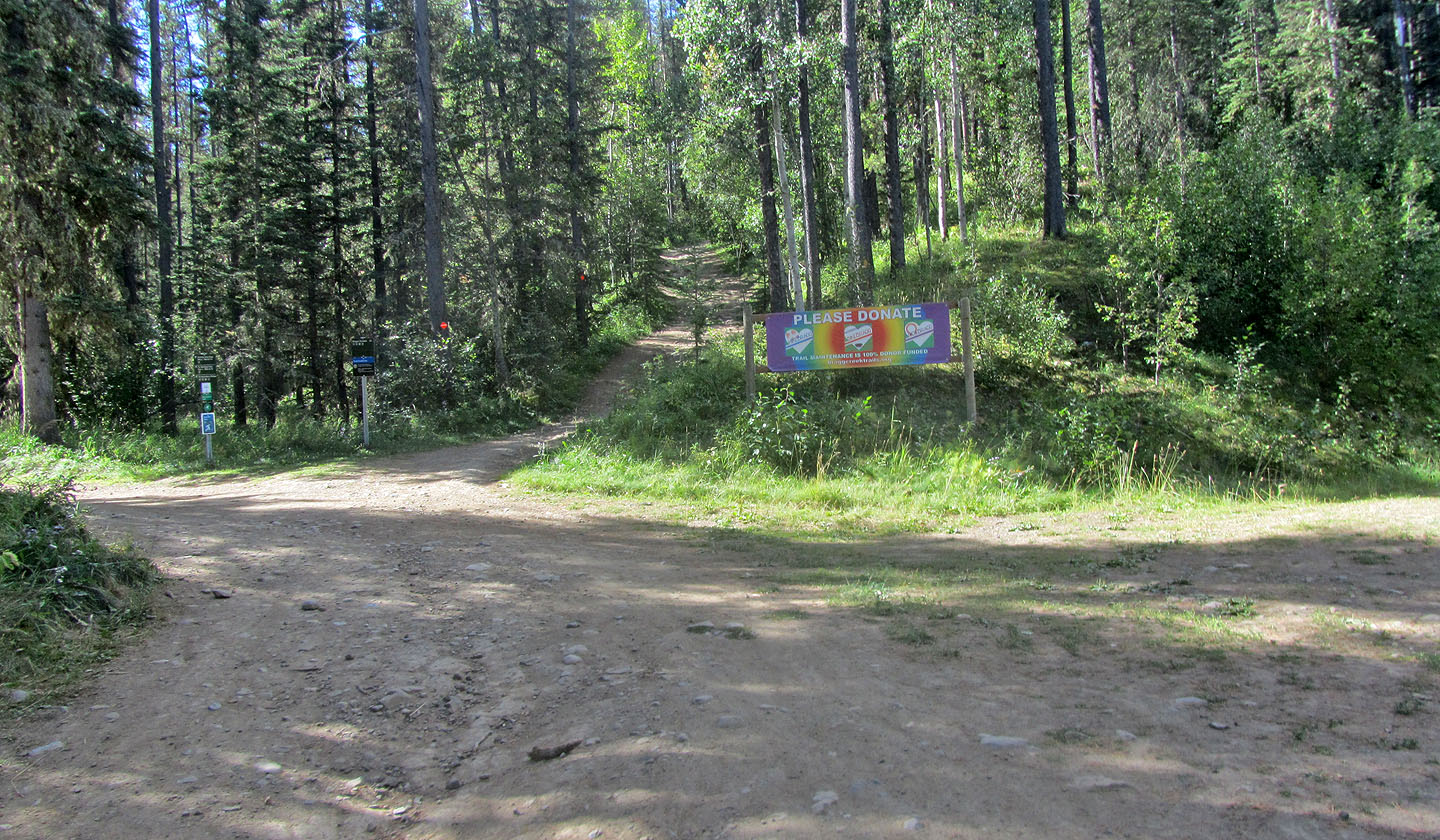
I parked near the trailhead at the far end of the parking lot at West Bragg Creek. There was plenty of parking, but I can't imagine the 485-vehicle parking lot ever being full. And going by the mountain bikes swirling about, most people were there to bike rather than hike.
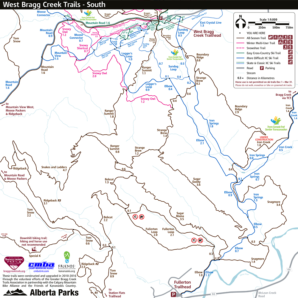
I, too, would bike. As an out-and-back trip, Boundary Ridge is only 6 km. To make it more interesting, I wanted to bike a loop. For a loop, there are several trails to choose from (see map), but the only trail that reaches the summit is Boundary Ridge. The singletrack trail is not terribly technical, but the last time I biked singletrack was 20 years ago when I was 50. Biking Boundary Ridge trail was enough technical riding for me. The other trails I chose would be easier.
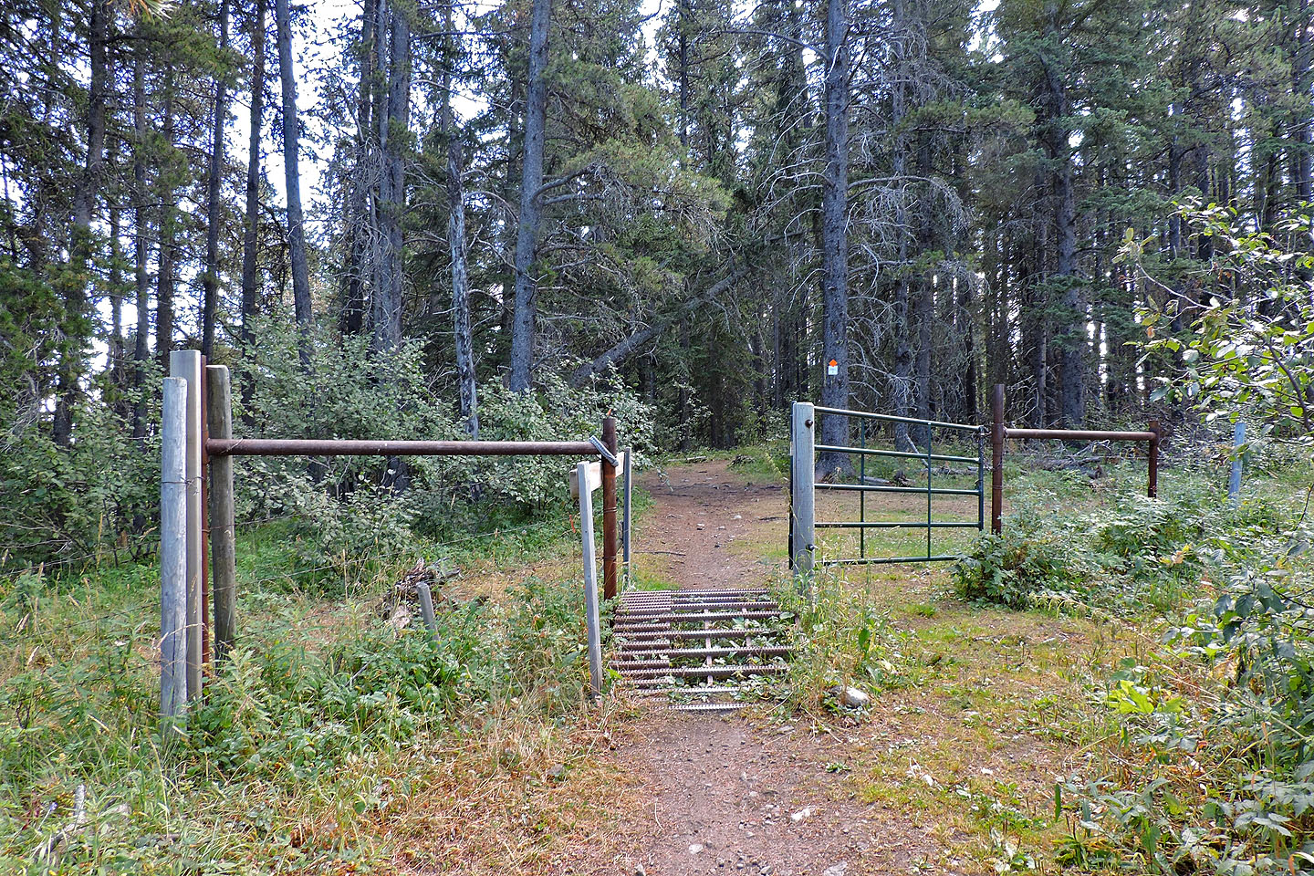
I started up East Crystal Line and Sundog Loop. These got me onto Boundary Ridge. To keep on track, I checked the map at the ubiquitous junctions. The map doesn't show Fisher's summit, but I found a side trail after a cattle gate. The short trail leads to a half-bare summit where I could view Moose Mountain but little else.
When I finished taking photos on top, I returned to Boundary Ridge trail and followed it as it snakes down the other end to a bridge. Soon after the bridge, I came to Elbow trail. Elbow was the easiest trail I took. It's wide and runs straight before reaching short trails that took me back to the parking lot. I didn't mind riding Elbow trail, but I found the roots and rocks and tight corners on Boundary Ridge challenging. If I were to climb Boundary Ridge again, I would hike it!
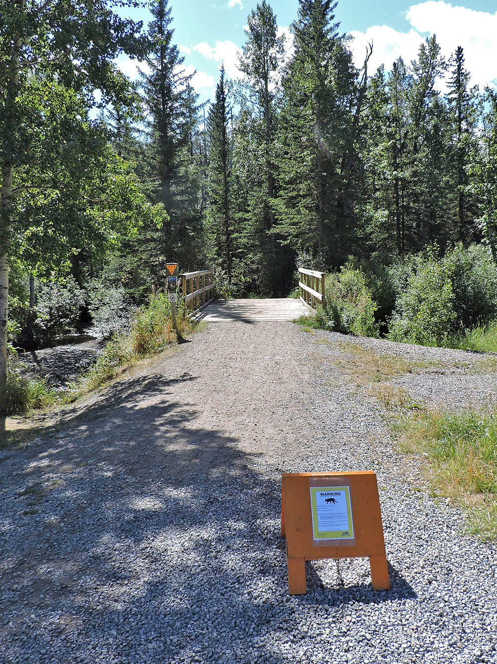
At the trailhead, there's a cougar warning (mouse over to read)
A couple of minutes after starting, I turned left onto East Crystal Line. I came back on the trail on the right.
East Crystal is broad, smooth and nearly flat
A few minutes later, I turned onto Sundog Loop

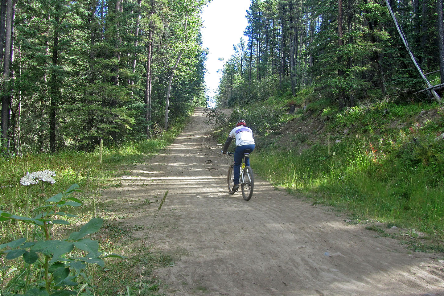
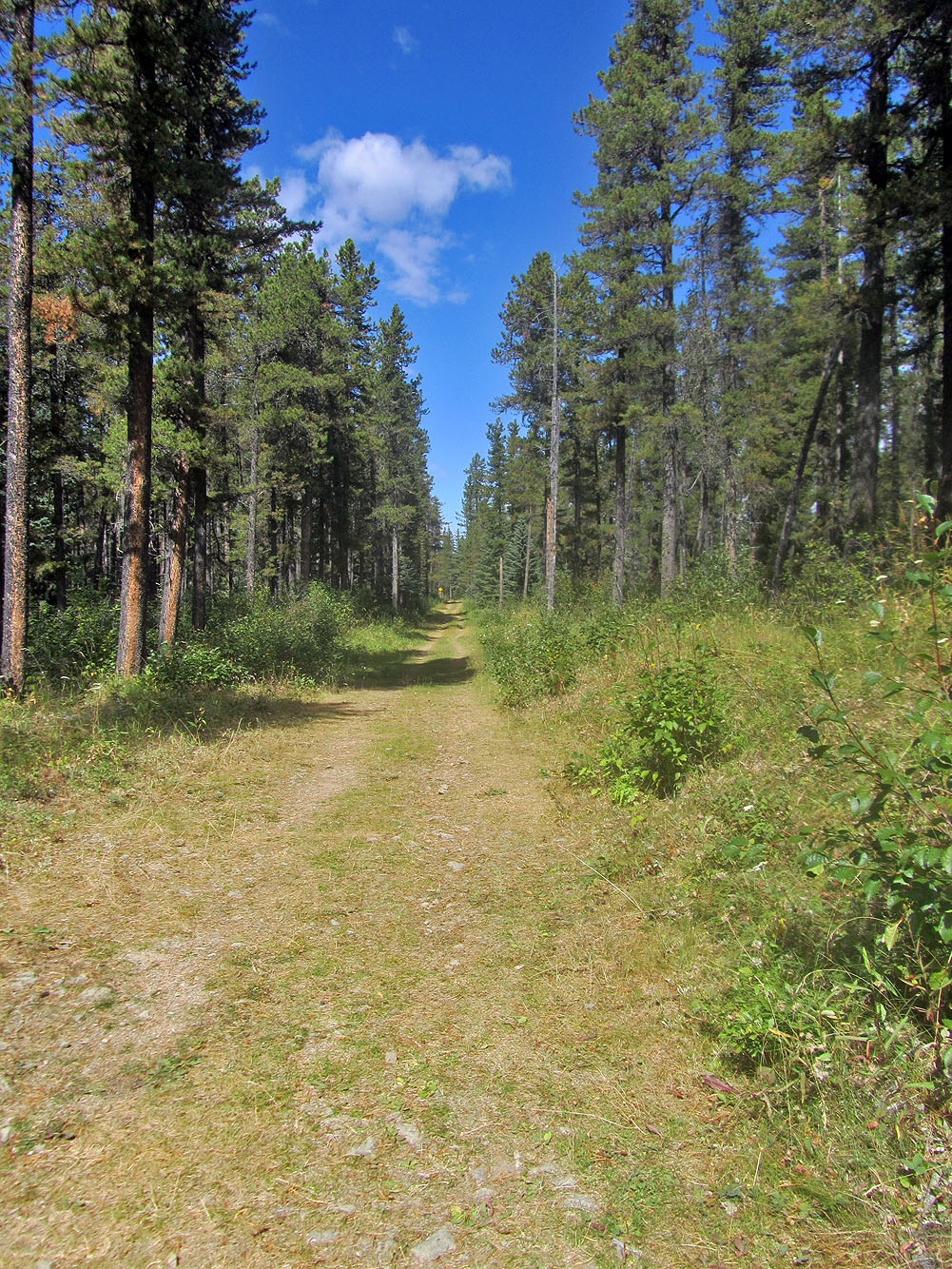
Soon I was on Boundary Ridge trail heading to the summit
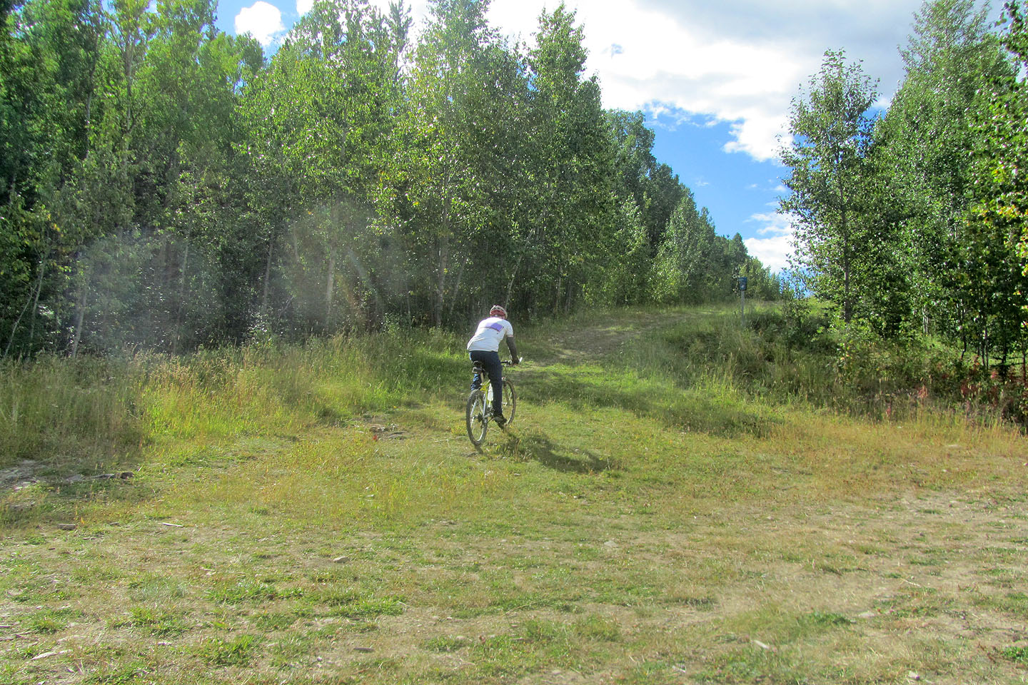
The main trail goes straight, but I turned right after the gate and took a brief trail to the summit
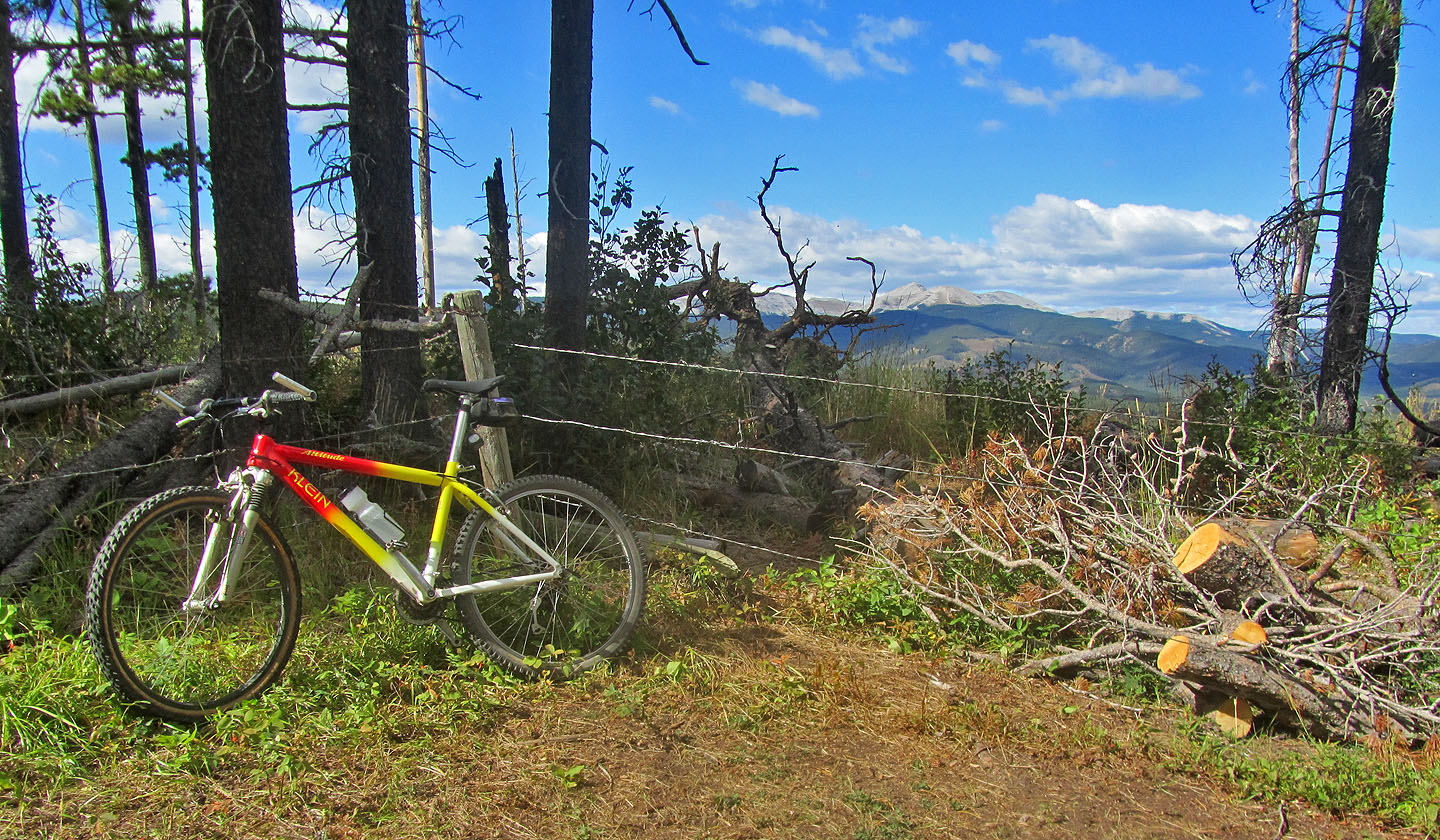
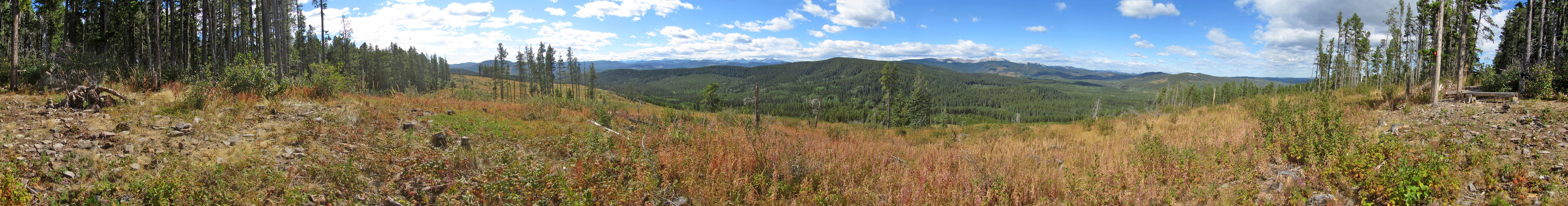
The summit is on the other side of a fence. Moose Mountain appears in the distance.
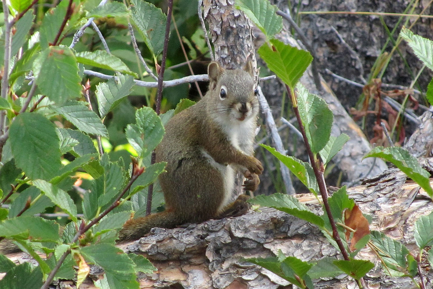
Summit squirrel
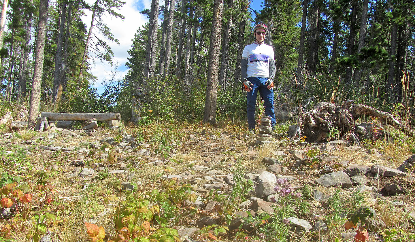
On the summit

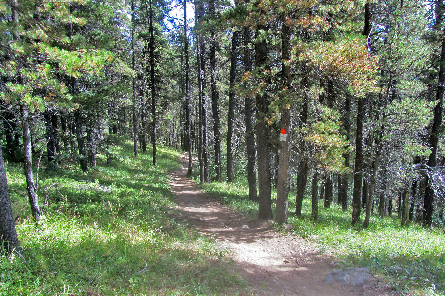
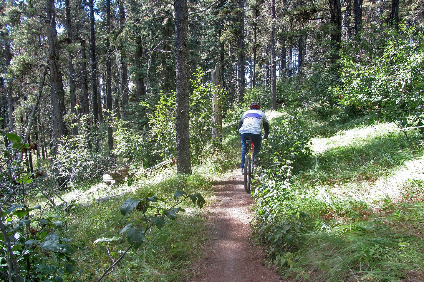
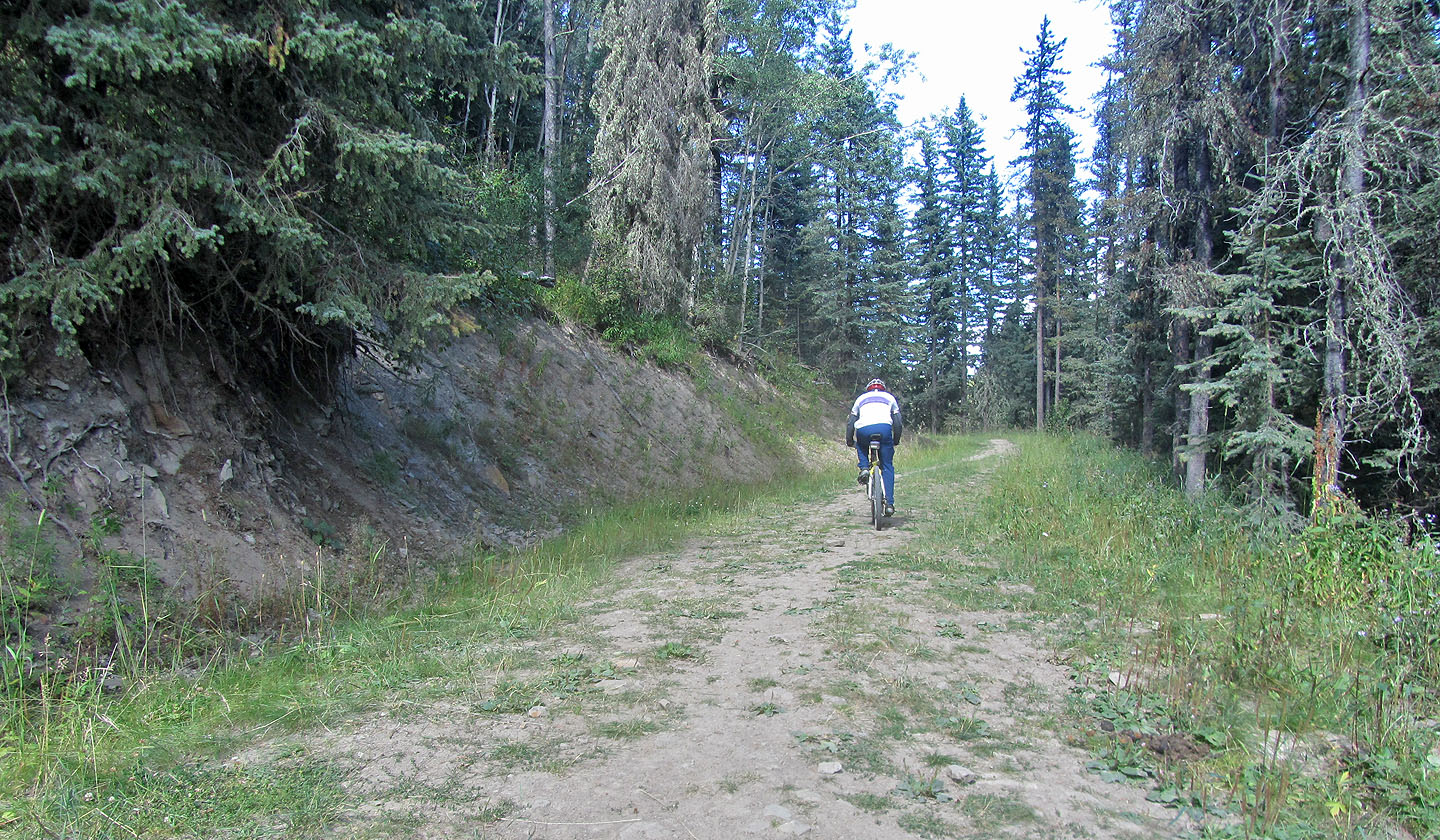
Back on Boundary Ridge trail
The trail is gentle but it soon starts to drop
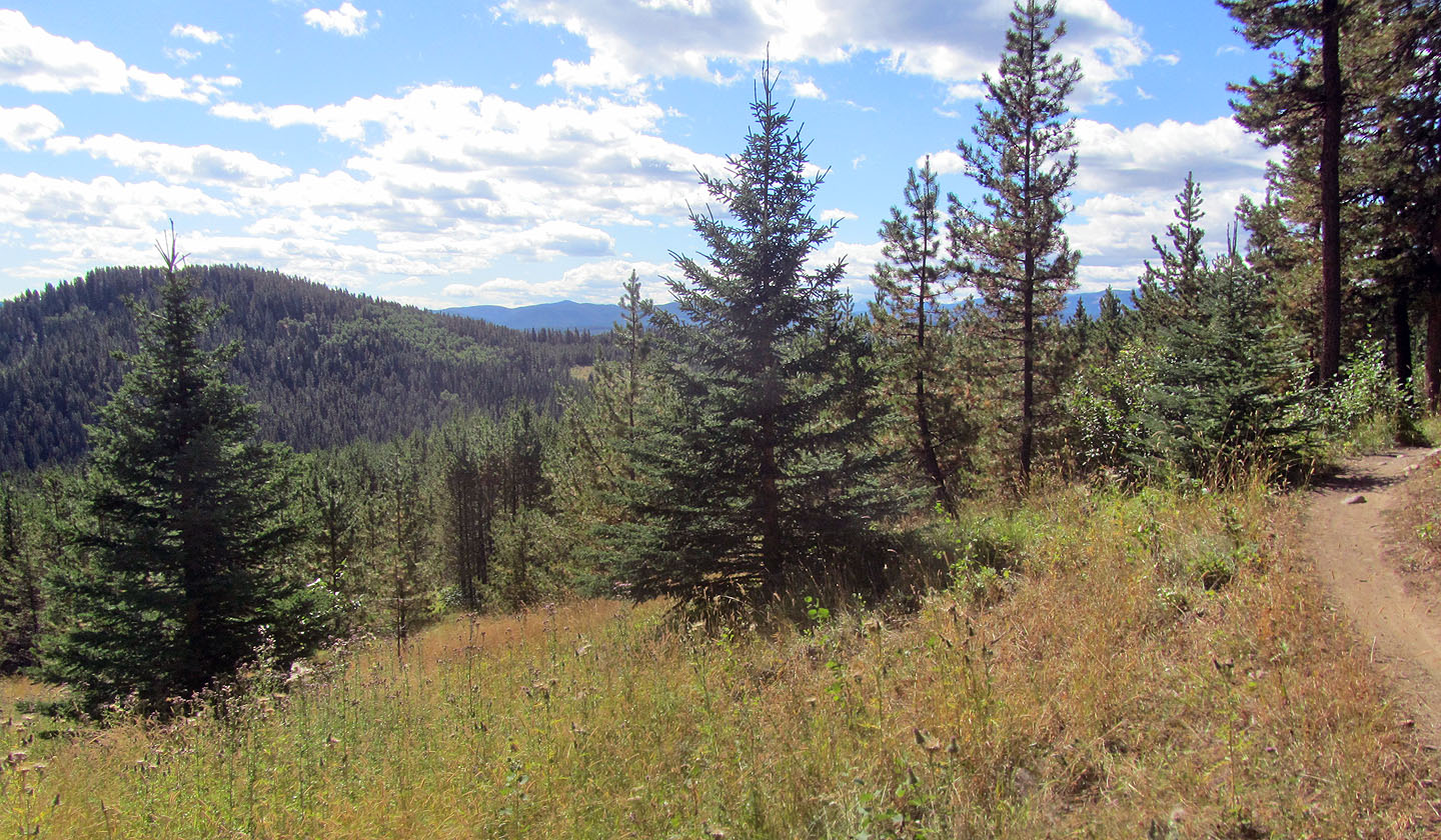
Snagmore Hill on the left
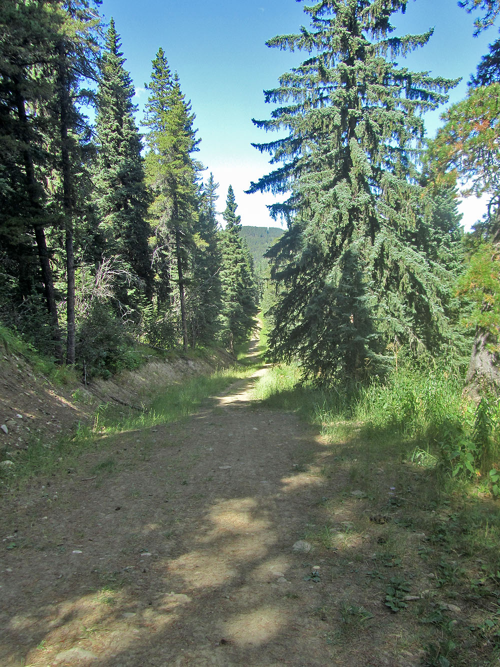
Continuing down the trail
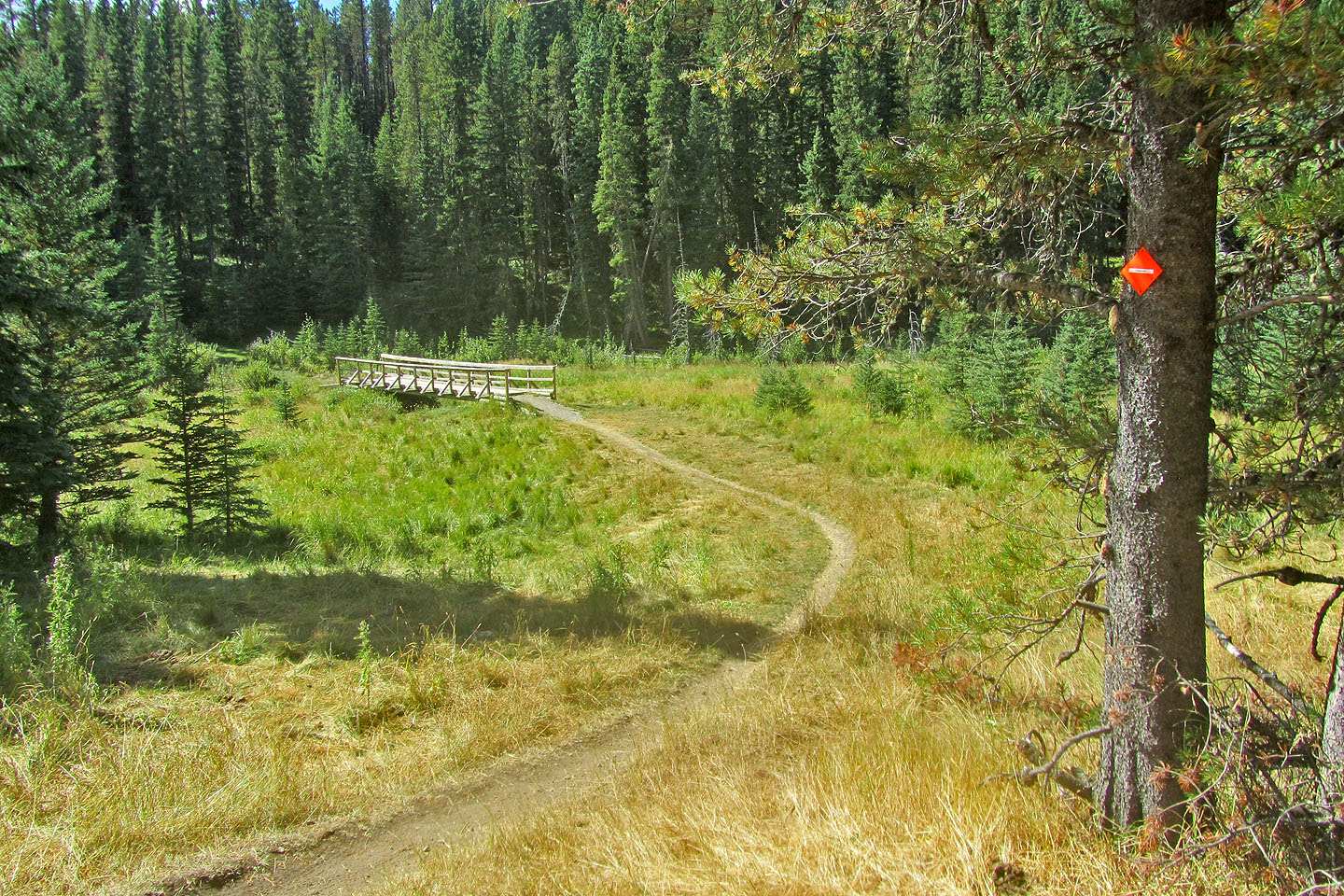
The descent ends at this bridge
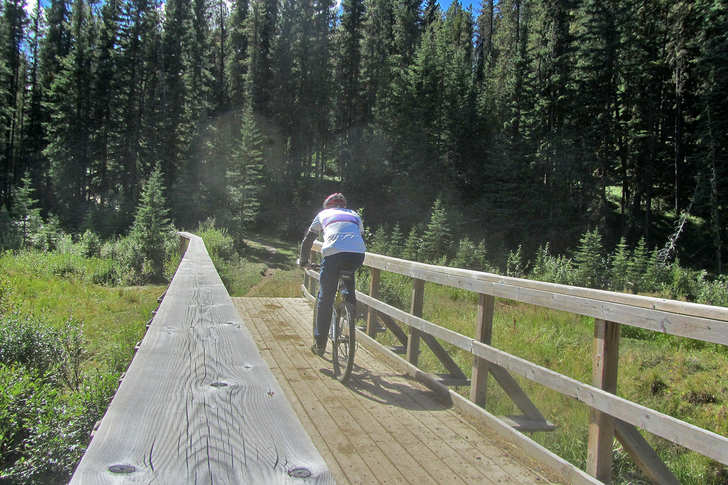
Crossing the bridge
I left Boundary Ridge here and turned onto Elbow trail.
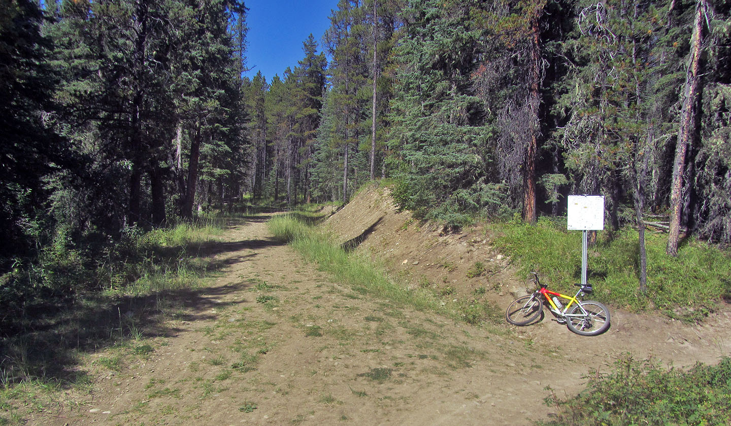
Every junction has a map.
Elbow is wide with long, straight stretches
When I stopped to open a cattle gate, I realized it made a nice perch for my camera
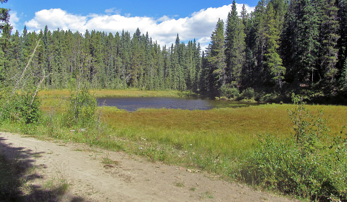
I was surprised to see a pond as it's not on the map
Still on Elbow, but I'll soon get on Sundog Loop and follow it back to the parking lot
82 J/15 Bragg Creek