bobspirko.ca | Home | Canada Trips | US Trips | Hiking | Snowshoeing | MAP | About
Ridge 636167
Kananaskis, Alberta
October 10, 2012
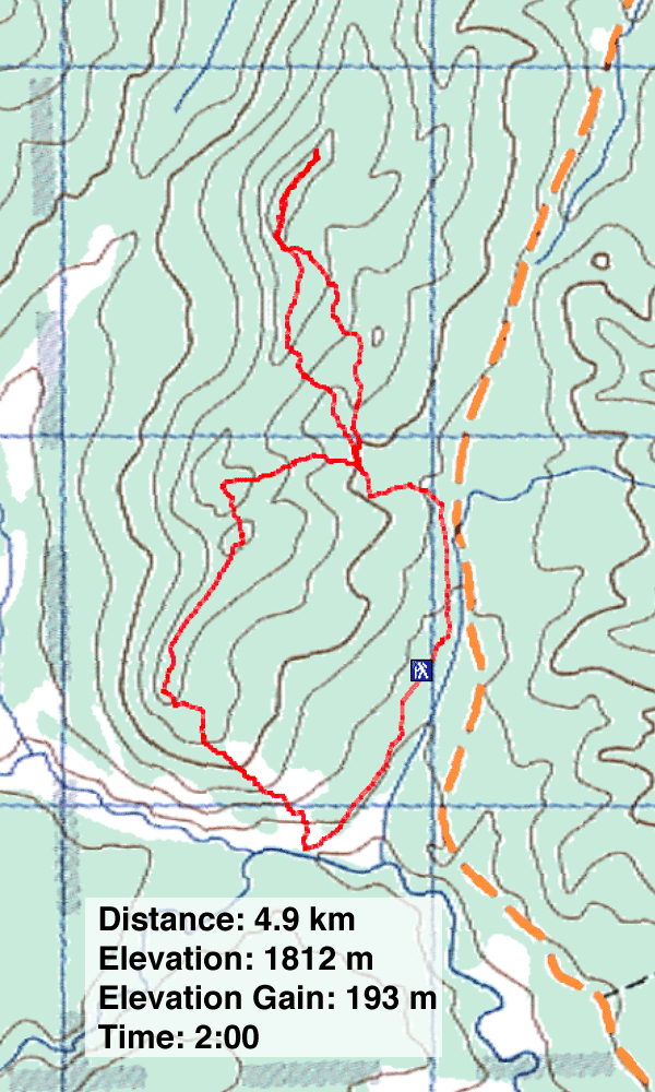
Distance: 4.9 km (3.0 mi)
Cumulative Elevation Gain: 340 m (1115 ft)
Ridge 636167 is a short hike with limited but nice views south and west. The route, which includes animal trails, is described in Kananaskis Country Trail Guide. To make a loop out of the trip, Dinah and started up George Creek trail before turning right to ascend a grassy ridge. We were expecting an easier trip, but dense trees and steep terrain made it difficult to follow the ridge. We followed the ridge into the trees, but when bushwhacking became an unavoidable ordeal, we dropped down. We bypassed the nasty area until we found an easier way up and soon regained the ridge. We made our way to the ridgetop.
The summit is a pleasant escarpment with views to the west. We followed it before turning around. Instead going back the same way, we returned the down the slope, but kept going all the way down to Gorge Creek Road. We followed the road back to our car.
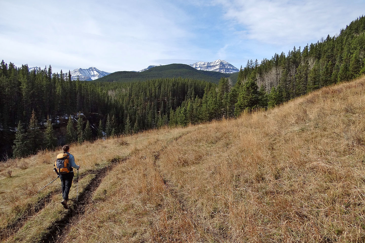
After hiking through trees on Gorge Creek trail, we reached a meadow and turned right
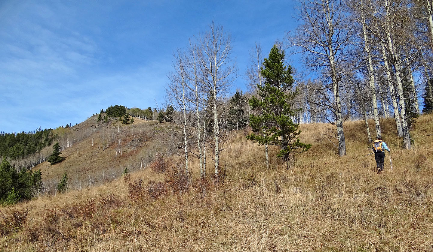
Starting up the ridge
Looking back at Dot Mountain
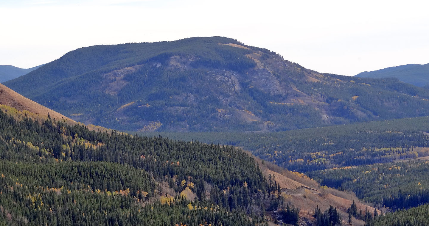 Green Mountain lies behind dot Mountain
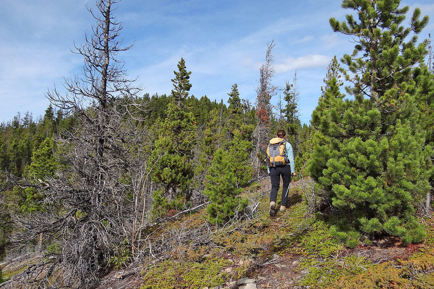
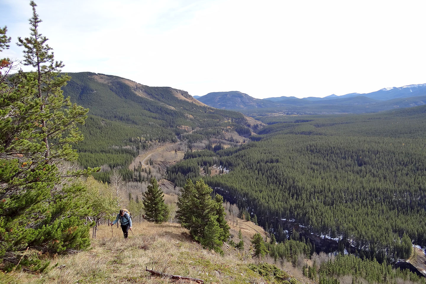
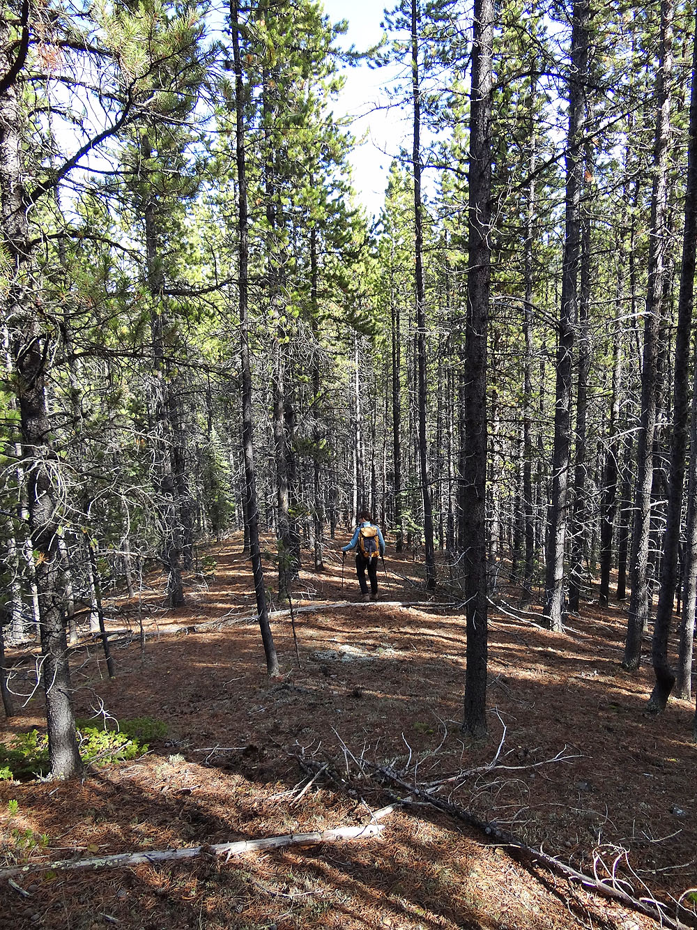
Continuing along the ridge and into the trees
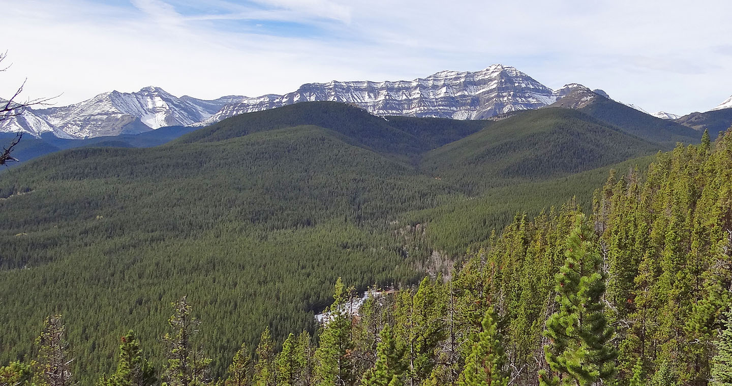
Bluerock Mountain
We'll some elevation before reaching the summit ahead
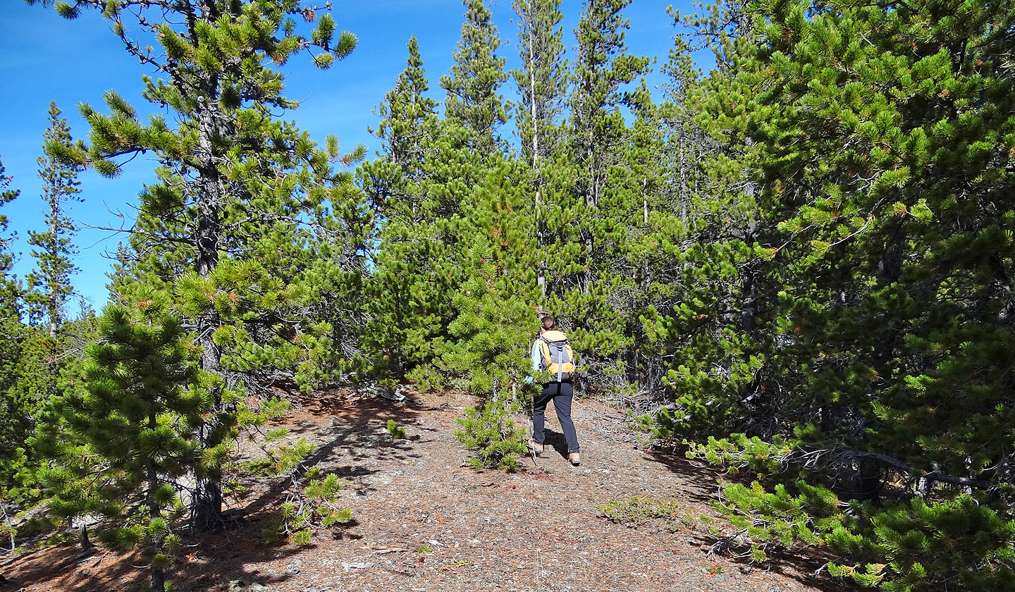
Following an animal trail in the trees
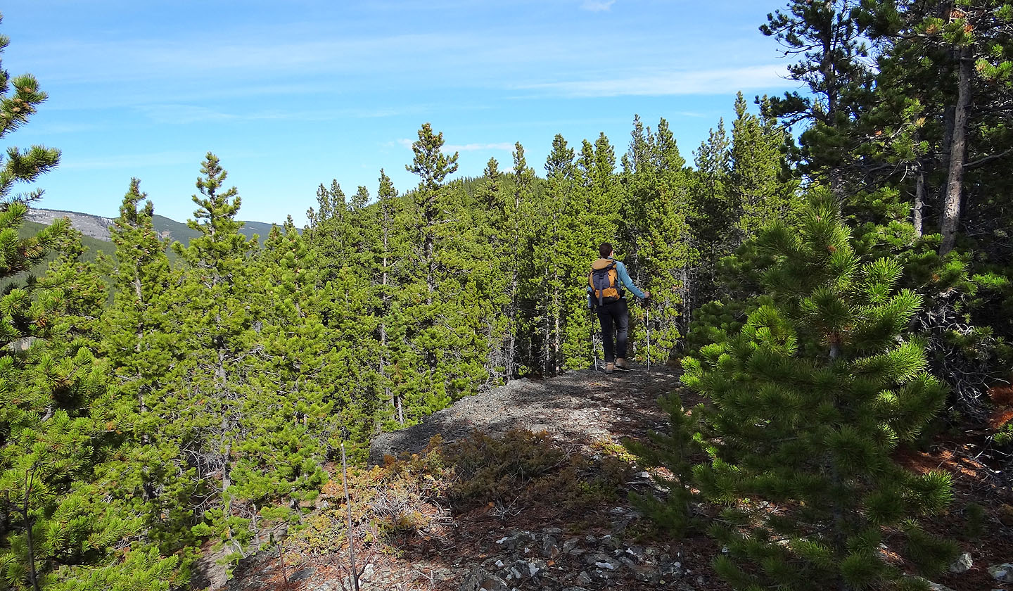
Almost at the summit
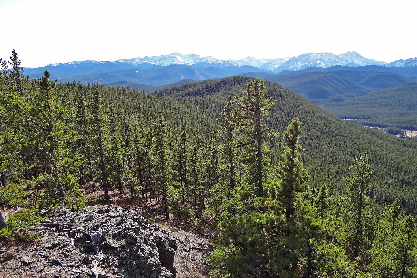
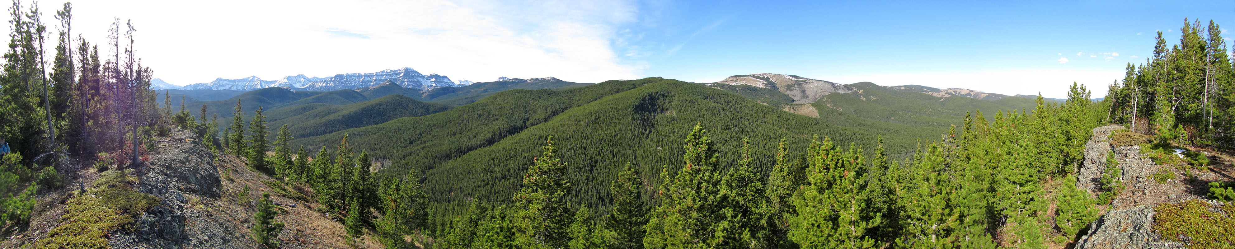
Looking back along the ridge from the top
82 J/10 Mount Rae