bobspirko.ca | Home | Canada Trips | US Trips | Hiking | Snowshoeing | MAP | About
Macabee, Pine and Forked Ridges
Kananaskis, Alberta
December 20, 2014
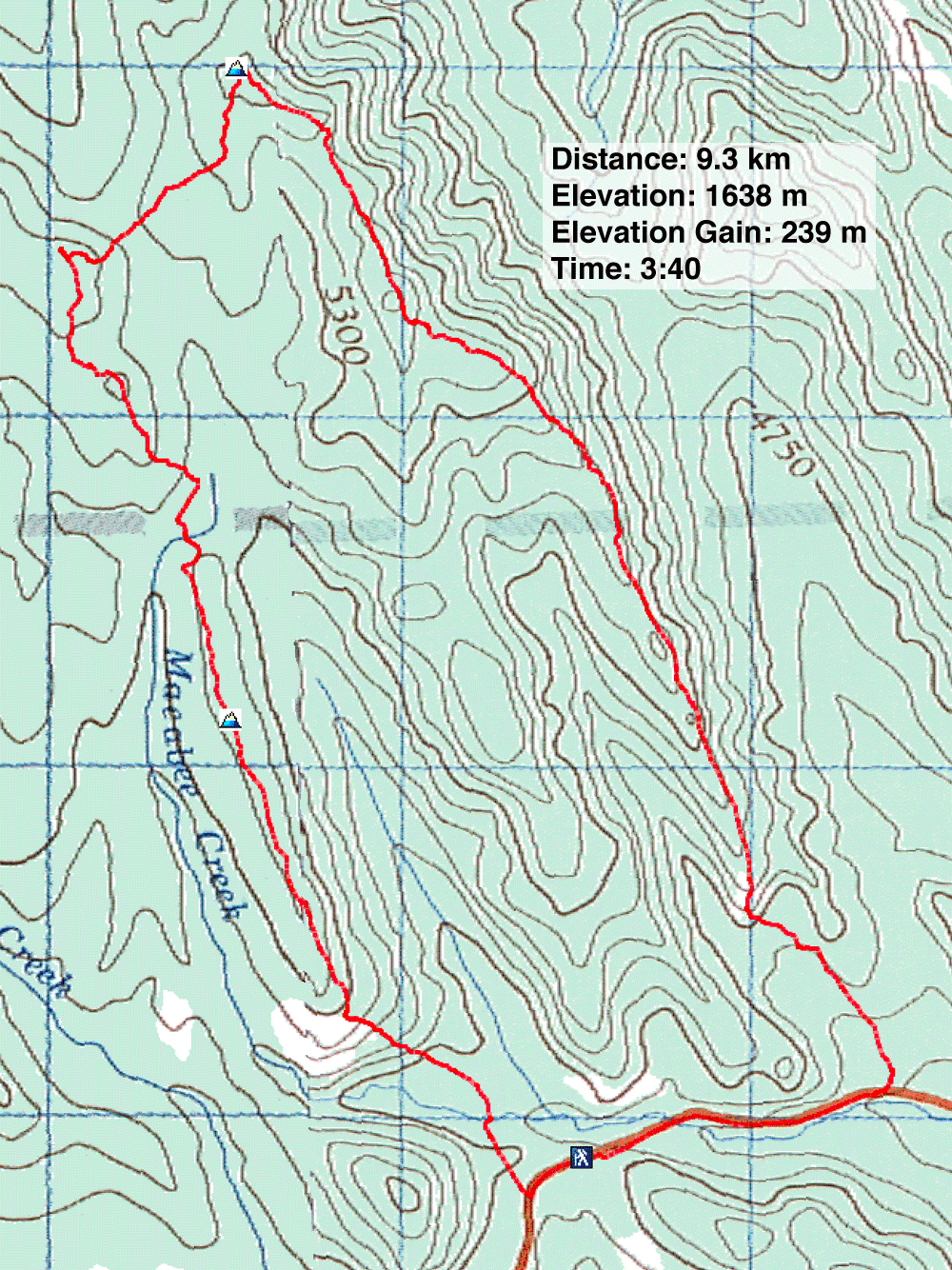
Distance: 9.3 km (5.8 mi)
Cumulative Elevation Gain: 356 m (1168 ft)
Macabee Ridge, Pine Ridge and Forked Ridge offer no excitement and little scenery, but they provide a chance to get out to the mountains in winter. Running parallel, the low-profile ridges have crest trails. No trail connects Pine to Forked, but it's easy to bushwhack from one to the other. A kilometre walk along the highway completes a loop.
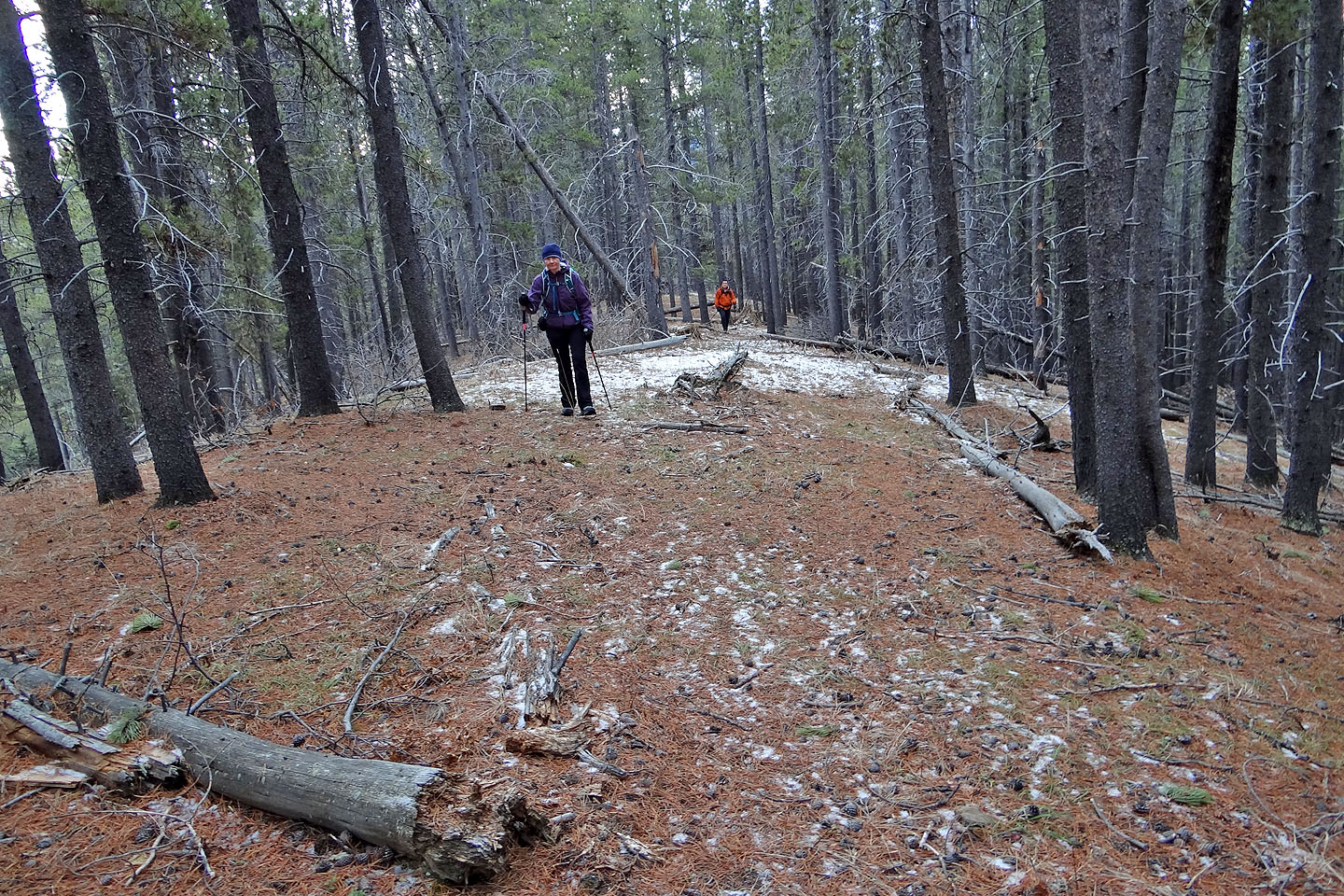
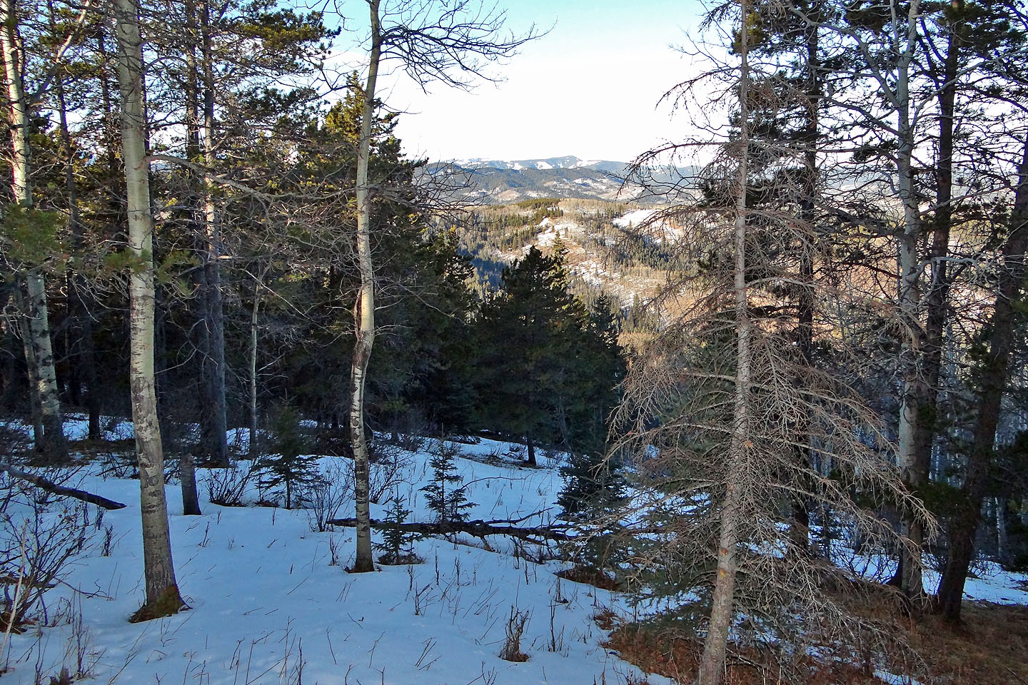
After parking at the south end of Macabee Ridge, Sonny, Dinah and I hiked up the ridge. There were a few viewpoints, and these disappeared when we plunged into pines. Macabee's summit was a non-event, and we coasted over it without realizing it. But as Sonny remarked, it was a pleasant walk. After dropping off the north end of the ridge and crossing Macabee Creek, we came to a cross-country ski trail, a section of the Pine Ridge Loop. We followed the snow-covered trail briefly until we were attracted to the dry, wooded slope on our left. We hiked north until we again ran into the ski trail (taking a longer route, it curves around the little ridge we took). We followed the trail to the summit of Pine Ridge where we spied our next destination, Forked Ridge.
We backtracked a bit before descending to the valley that separates the viewpoint and Forked Ridge. After stepping over a tangle of deadfall at the bottom, we hiked to the top of Forked Ridge. Entirely treed, it too was a non-event.
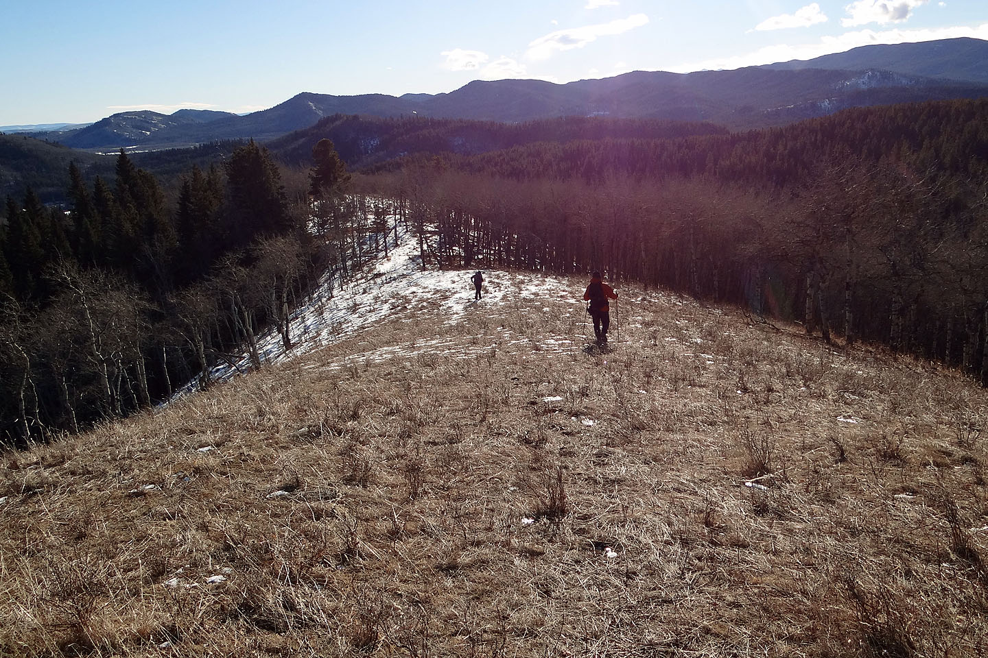
Forked Ridge is shaped like a tuning fork. The handle bears the summit and points north. Of the two tines running south, we followed the one farther east. There's a trail in the trees, but we lost it often as it wasn't well-defined. Halfway along the ridge, we broke out into a clearing where we were reminded it was a sunny day. We continued along the ridge mostly in trees until it ended before we reached the highway. After plodding up the pavement, we arrived back at our car. The biggest advantage of hiking these ridges is that it was a short trip and a short drive: we were soon back in Calgary with most of the afternoon left to do last-minute Christmas shopping.
KML and GPX Tracks
Sonny's Trip Report
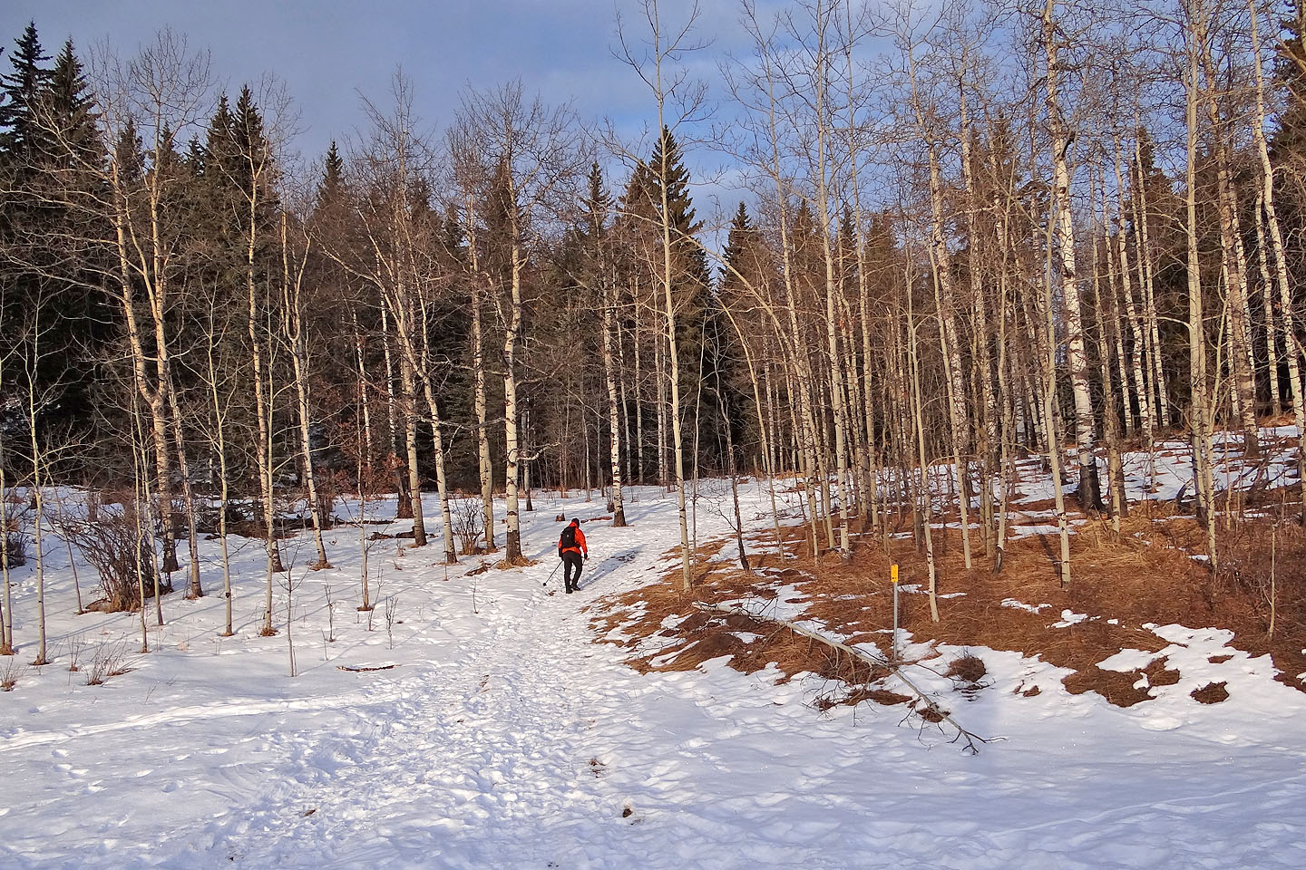
Starting up the trail to Macabee Ridge
We soon reached the south end of Macabee
Sonny stops to take photos
We followed the ridge trail
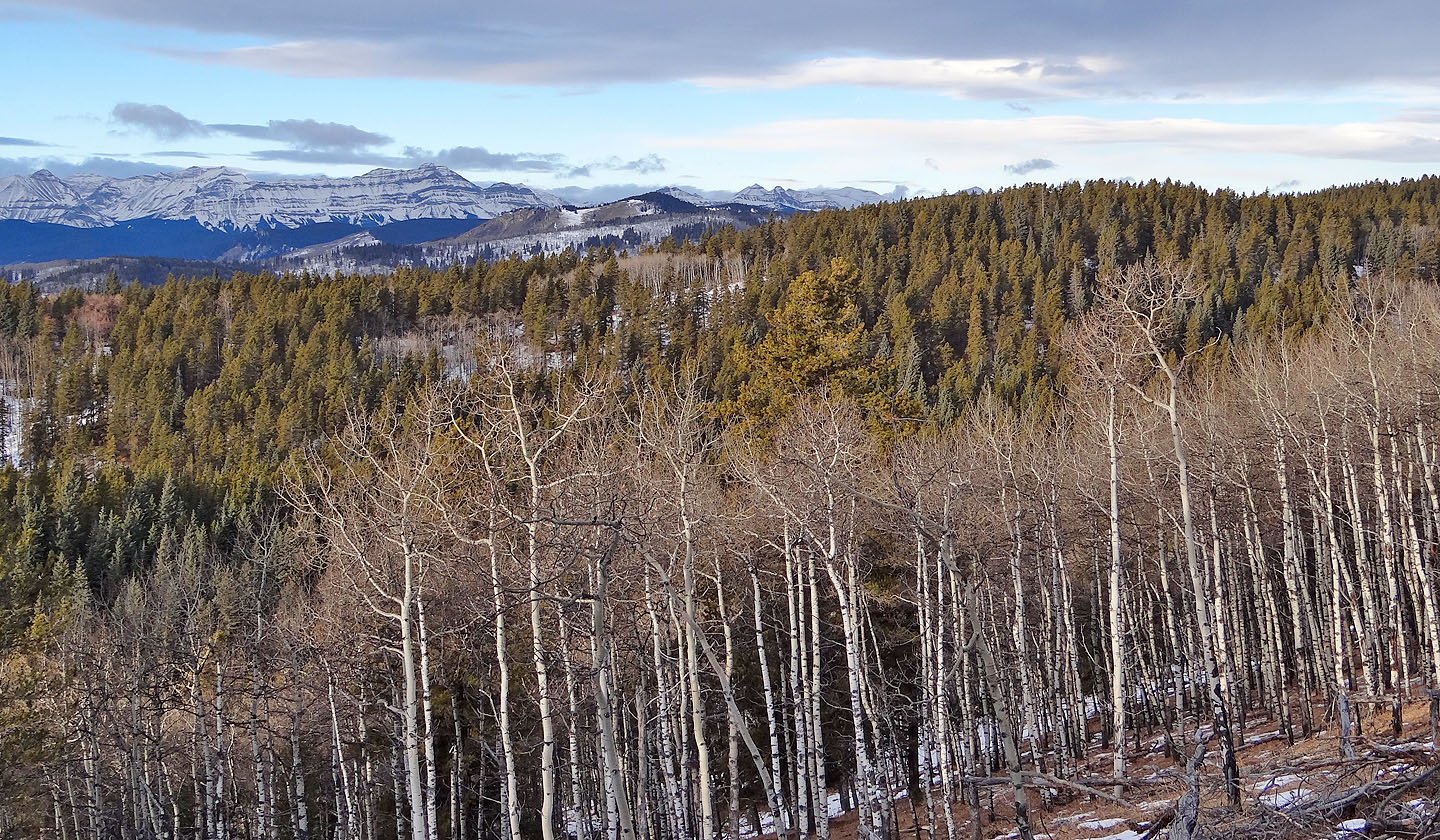
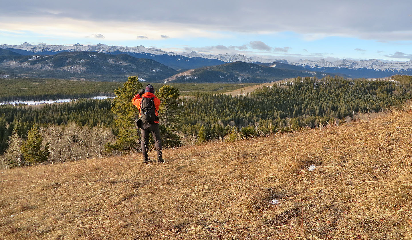
The nearest mountains west are Windy Point Ridge and Foran Grade Ridge (mouse over)
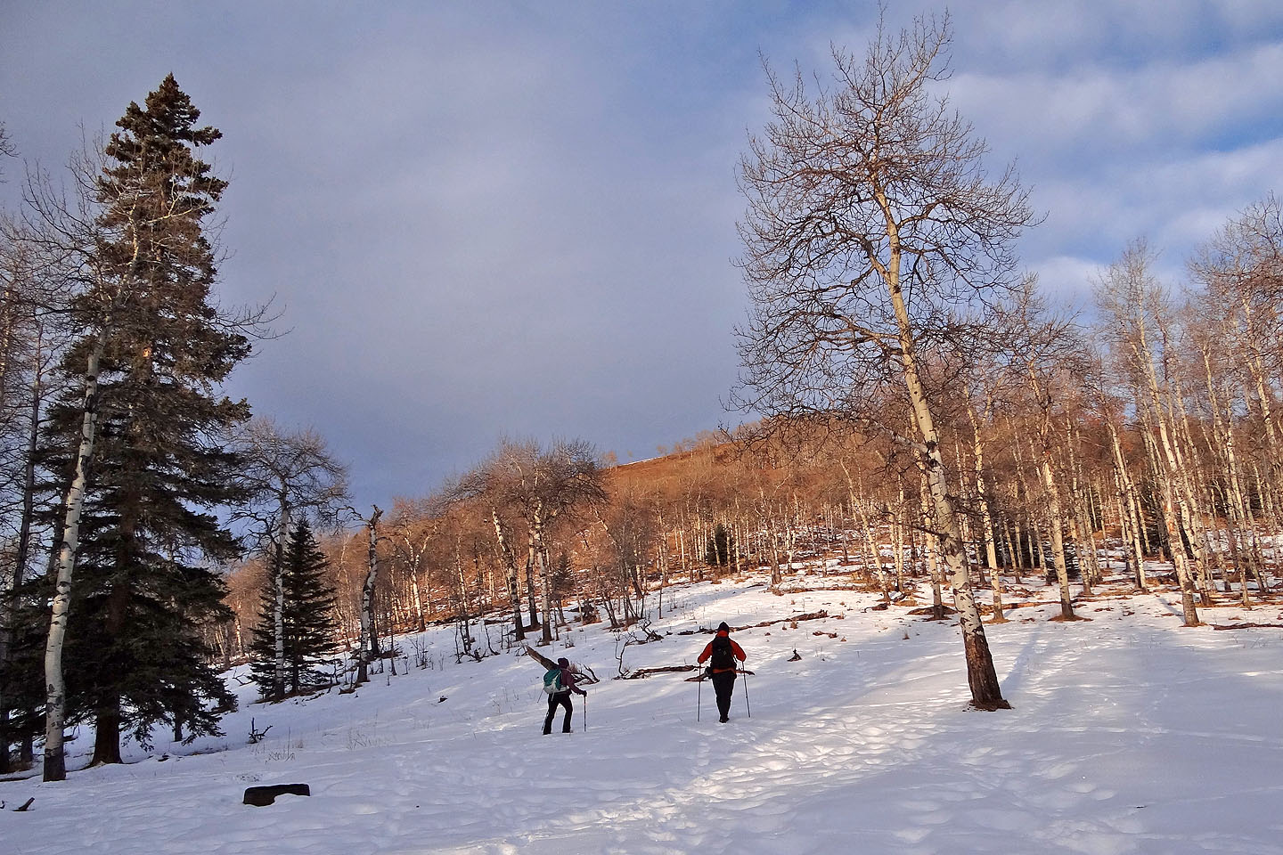
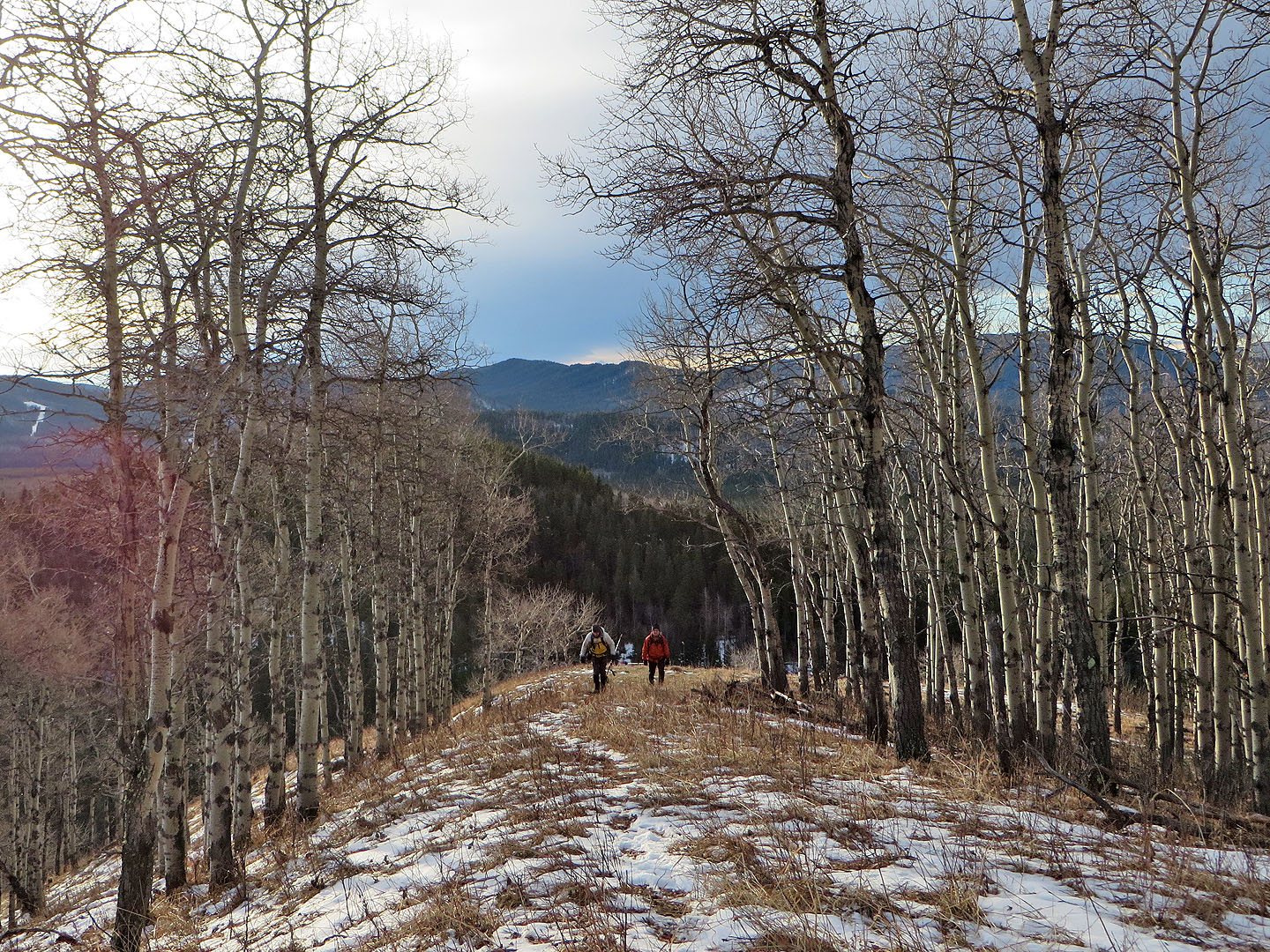
Lined with bare aspen, the first part of Macabee feels open
The ridge transitions to tall evergreens
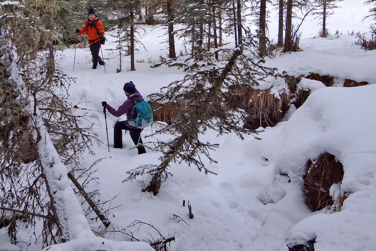
After coming down Macabee Ridge we crossed Macabee Creek
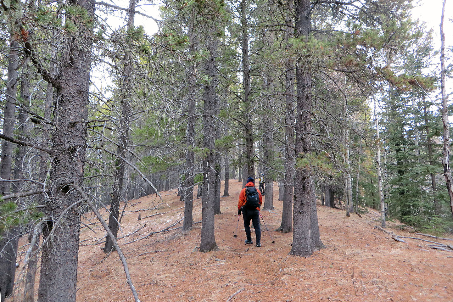
On a side ridge heading to Forked Ridge
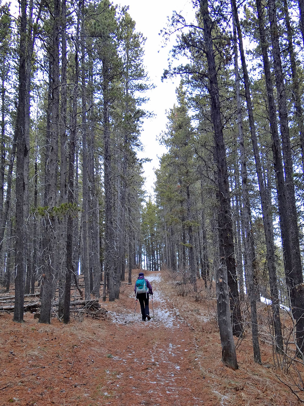
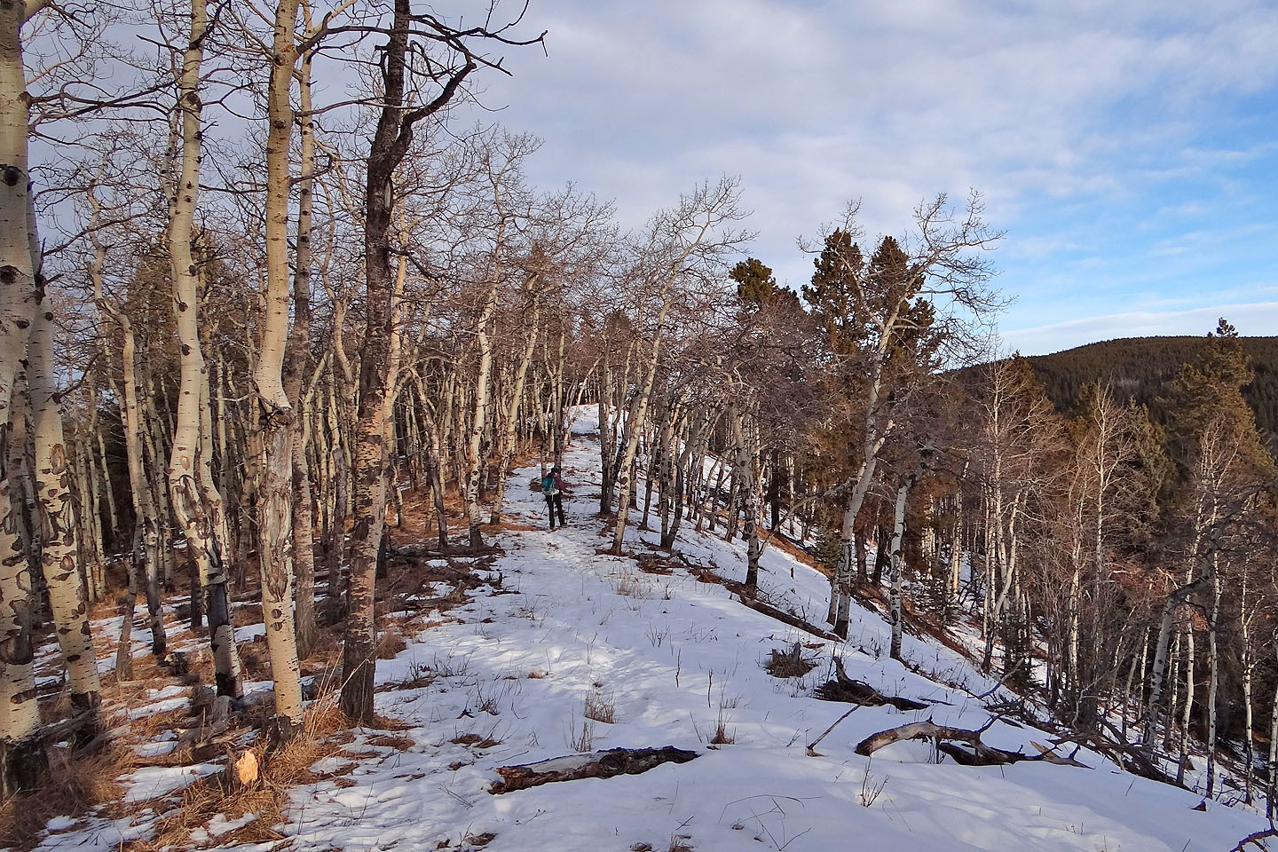
We followed a cross-country ski trail briefly to a viewpoint
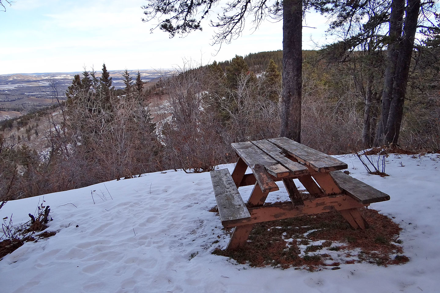
From the viewpoint on Pine Ridge, we could see the summit of Forked Ridge
There's a small opening in the trees for views by the summit of Forked Ridge
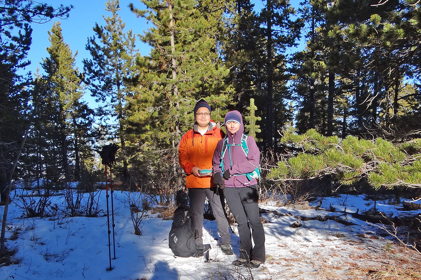
Sonny and Dinah stand in a tiny spot of sunshine near the summit
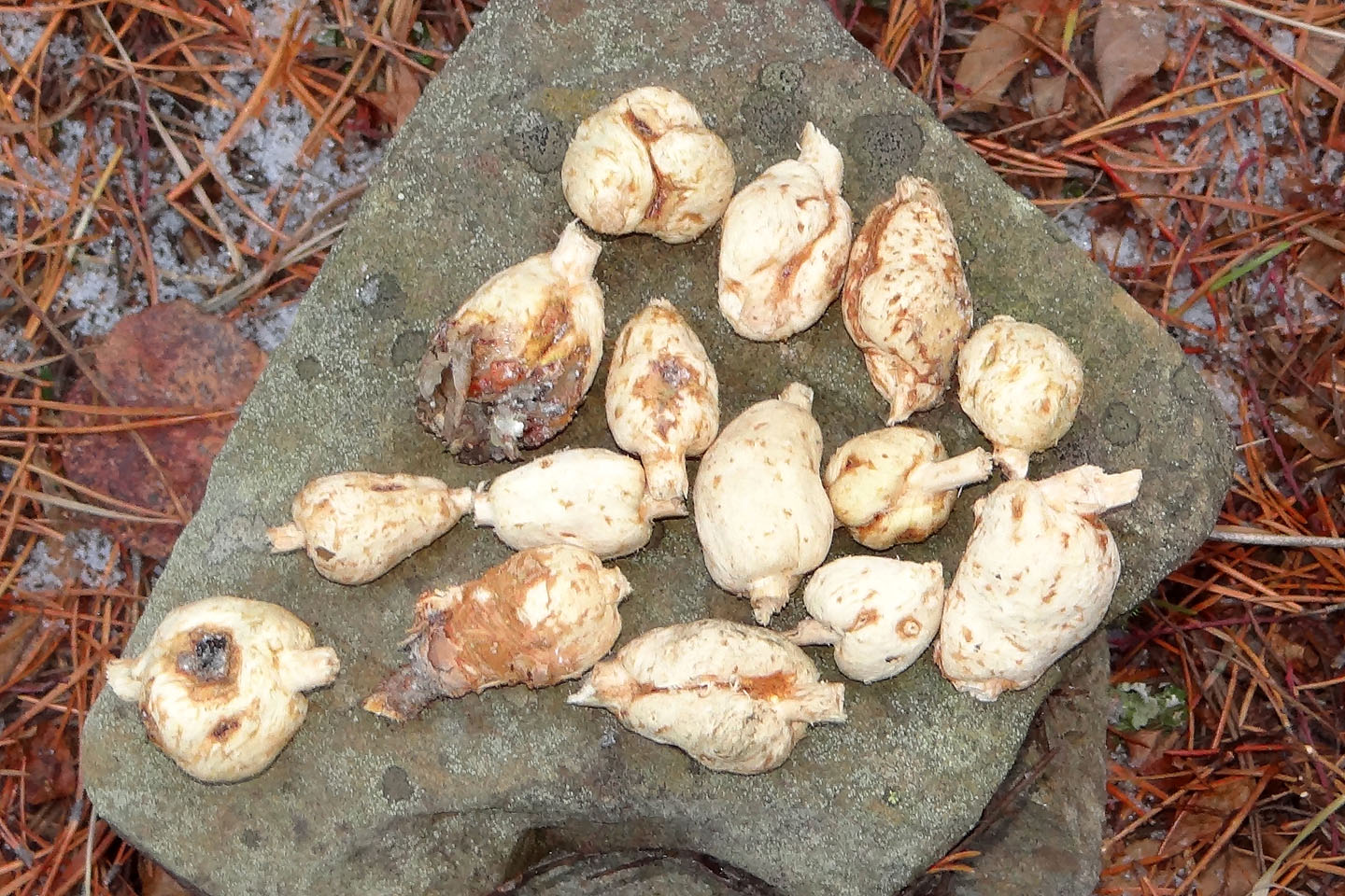
I've seen galls – nodules produced by parasites on branches – on live plants, but these galls
were widely scattered on the ground near the summit. Strangely, the bark had been
stripped off
and the
branches removed.
Heading back along Forked Ridge