bobspirko.ca | Home | Canada Trips | US Trips | Hiking | Snowshoeing | MAP | About
Hunchback Hill 2
Kananaskis, Alberta
August 5, 2025
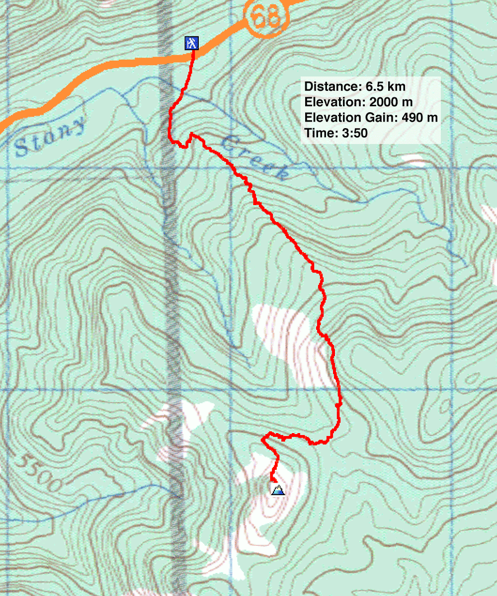
Distance: 6.5 km (4.0 mi)
Cumulative Elevation Gain: 566 m (1857 ft)
Having climbed Hunchback Hills 1, 3, 4 and 5, I felt compelled to reach Hill 2. I prefer the official name, Hunchback Hills, over the more recent Lusk Ridge. And I followed suit with Gillean Daffern, author of Kananaskis Country Trail Guide, who numbered the hills. Also, although the ridge below it is called Lusk Ridge West, Hill 2 has no name related to Lusk.
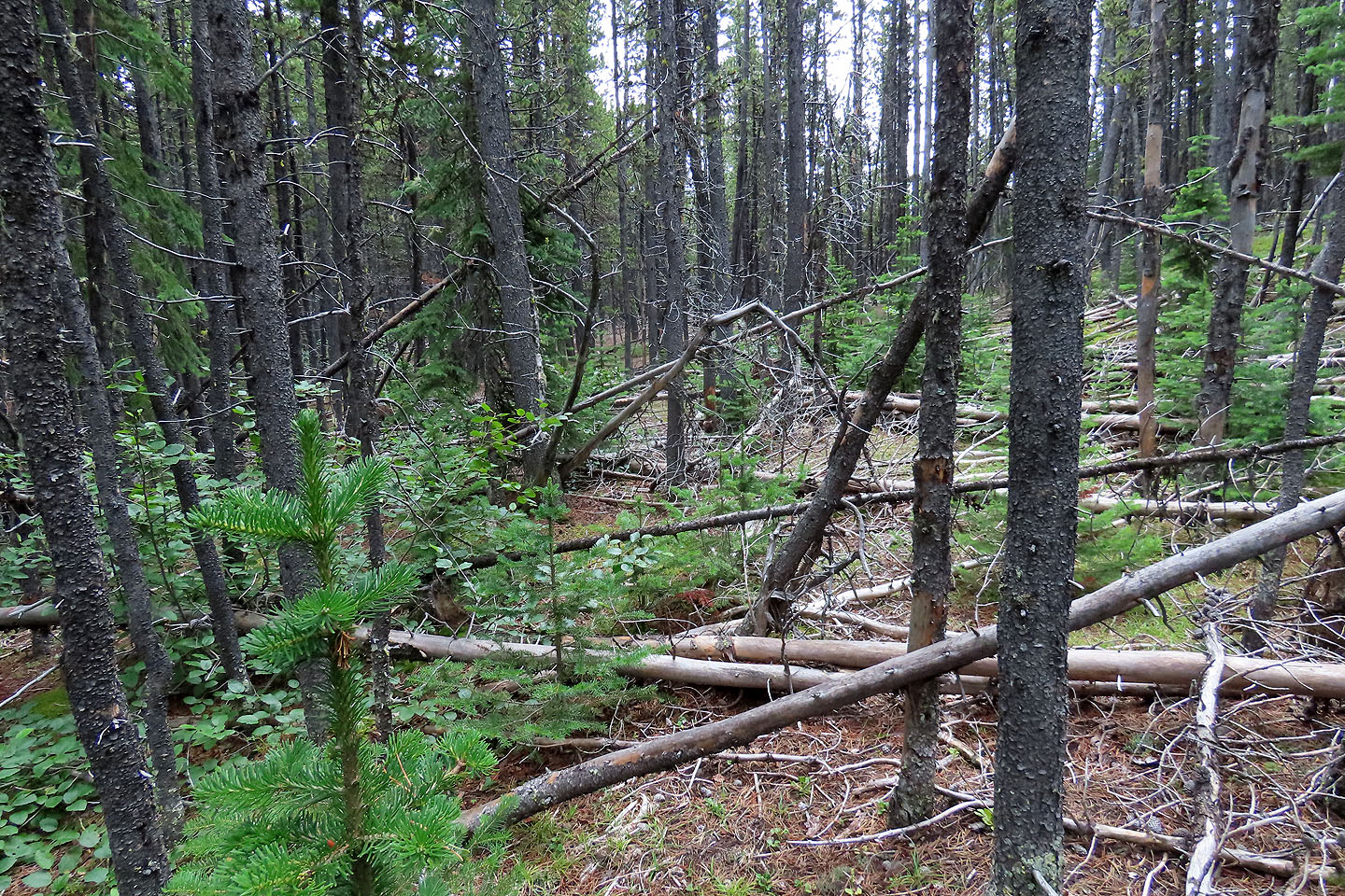
Unlike the other Hills, which have trails, Hill 2 is mostly off-trail. I followed the track on my map. As I learned on my ascent, it’s best to follow it closely. When I tried to reach the summit directly from the saddle, I ran into impenetrable bush. On my descent, I took a wide berth, and that is the track that appears on my map.
I parked at the beginning of a tree-lined corridor and started up a trail. The trail runs through a cutblock, but I soon turned left onto a side trail that runs up a rise. Near the top, I left the trail and started up a long cutblock covered in pine saplings. When I reached the forest edge, I happily found a trail with flagging. It runs for 700 m before ending in a glade. After briefly bushwhacking, I came to a long clearing. I hiked up a steep slope and reached the top of a cliff. The clifftop held fractured landscape, the most interesting scenery on the hike. Then I went down to a saddle, back into the forest. The last section was a mix of bushwhacking and short trails, followed by a steep, open slope to the summit.
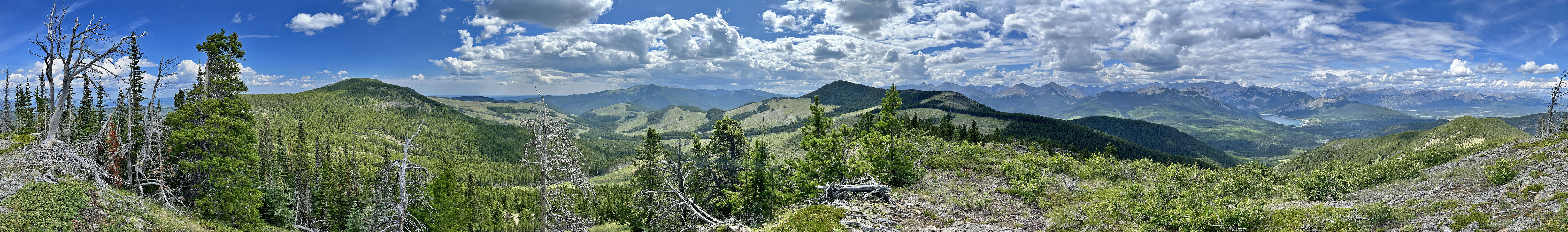
From the peak, I enjoyed views of Hills 1, 3, and 4, as well as Barrier Lake. The summit geocache register contained about a dozen names starting from 2007, and none after 2000. Given the bushwhacking and routefinding, I’m not surprised Hunchback Hill 2 isn’t frequently visited.
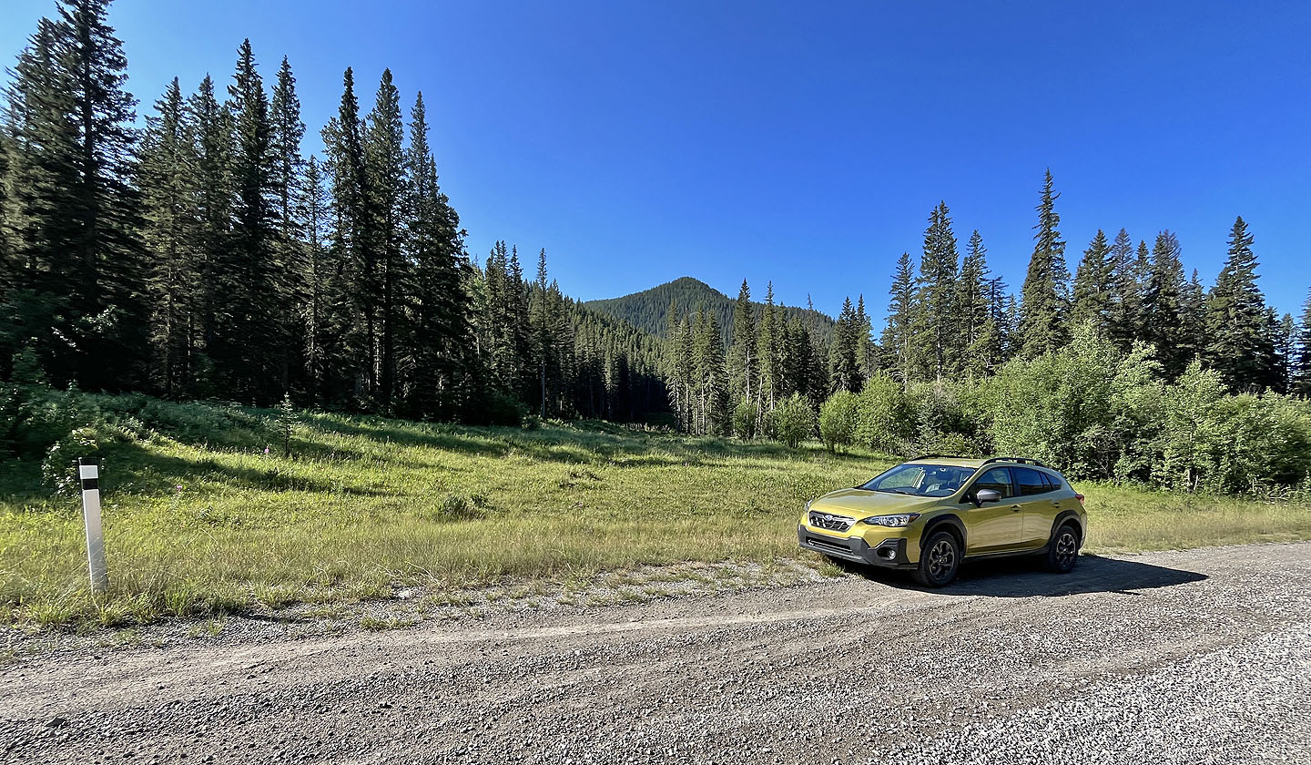 Parked at the trailhead
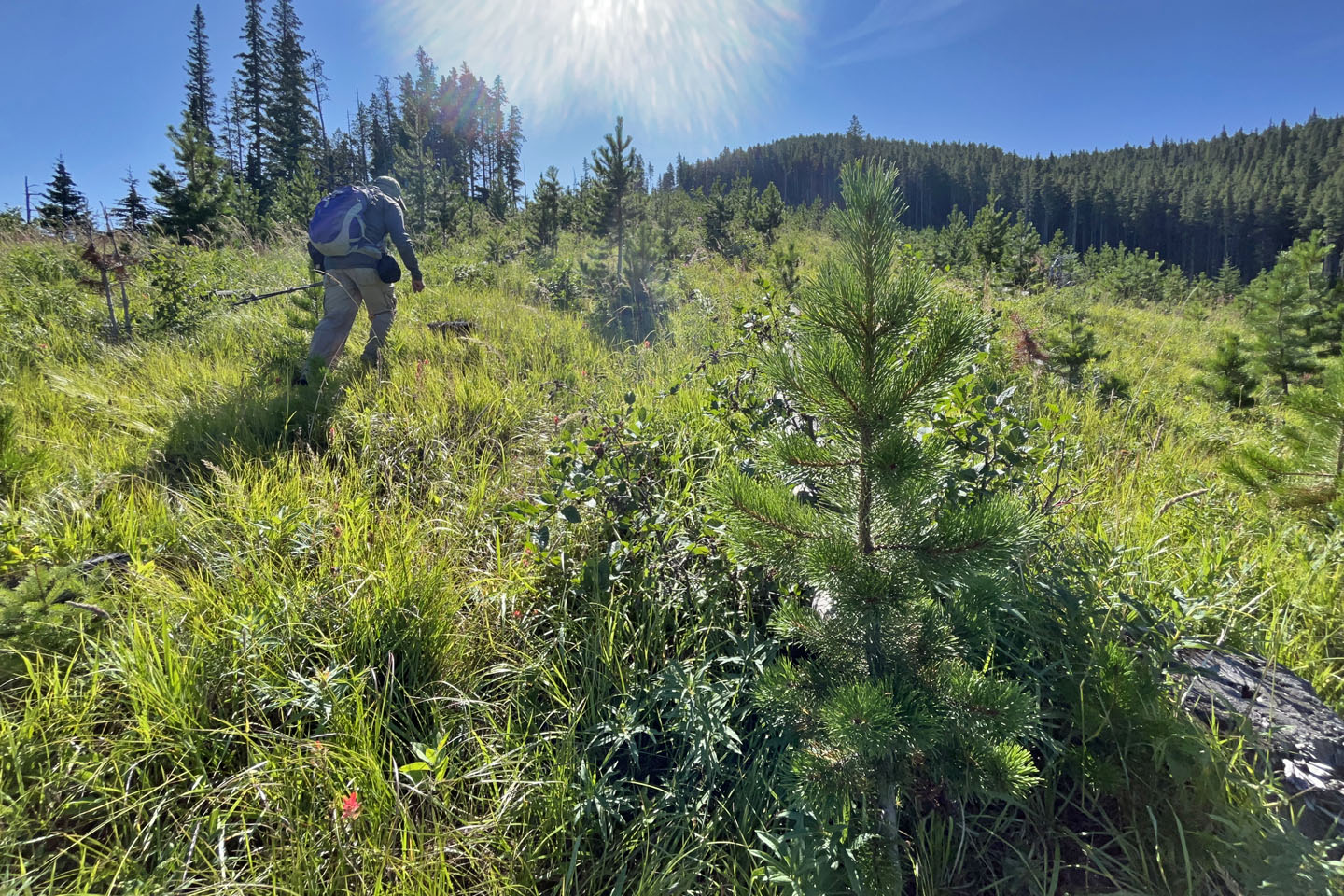
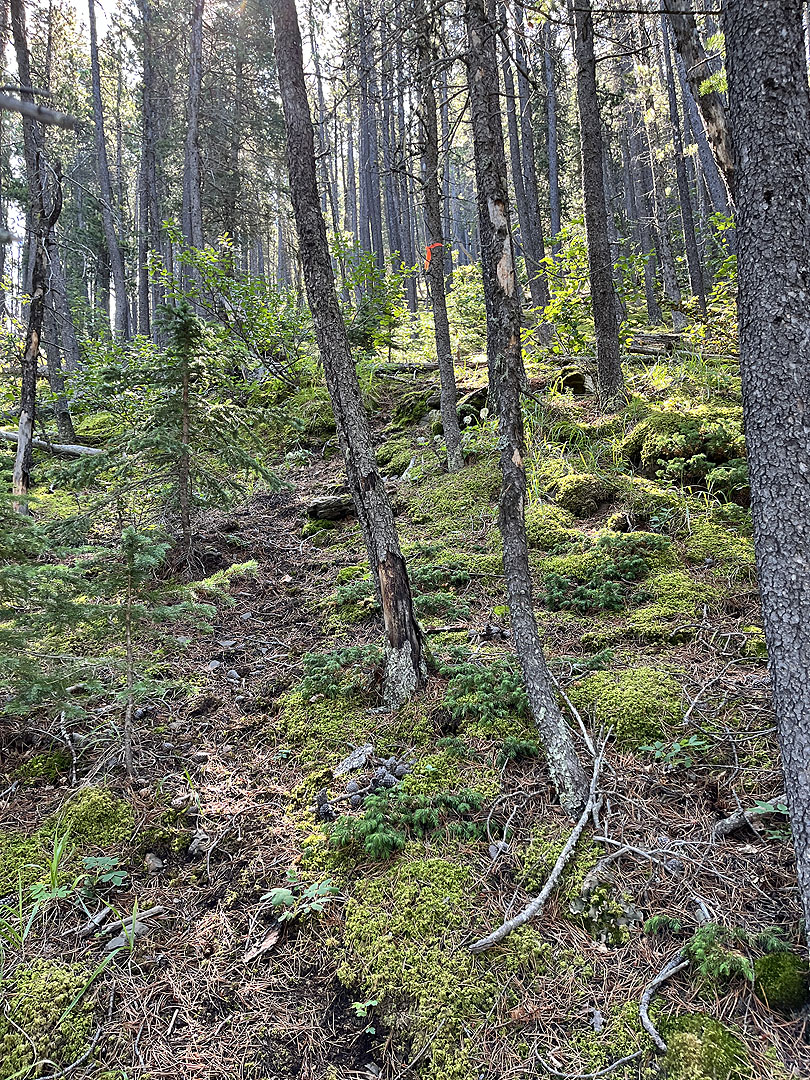
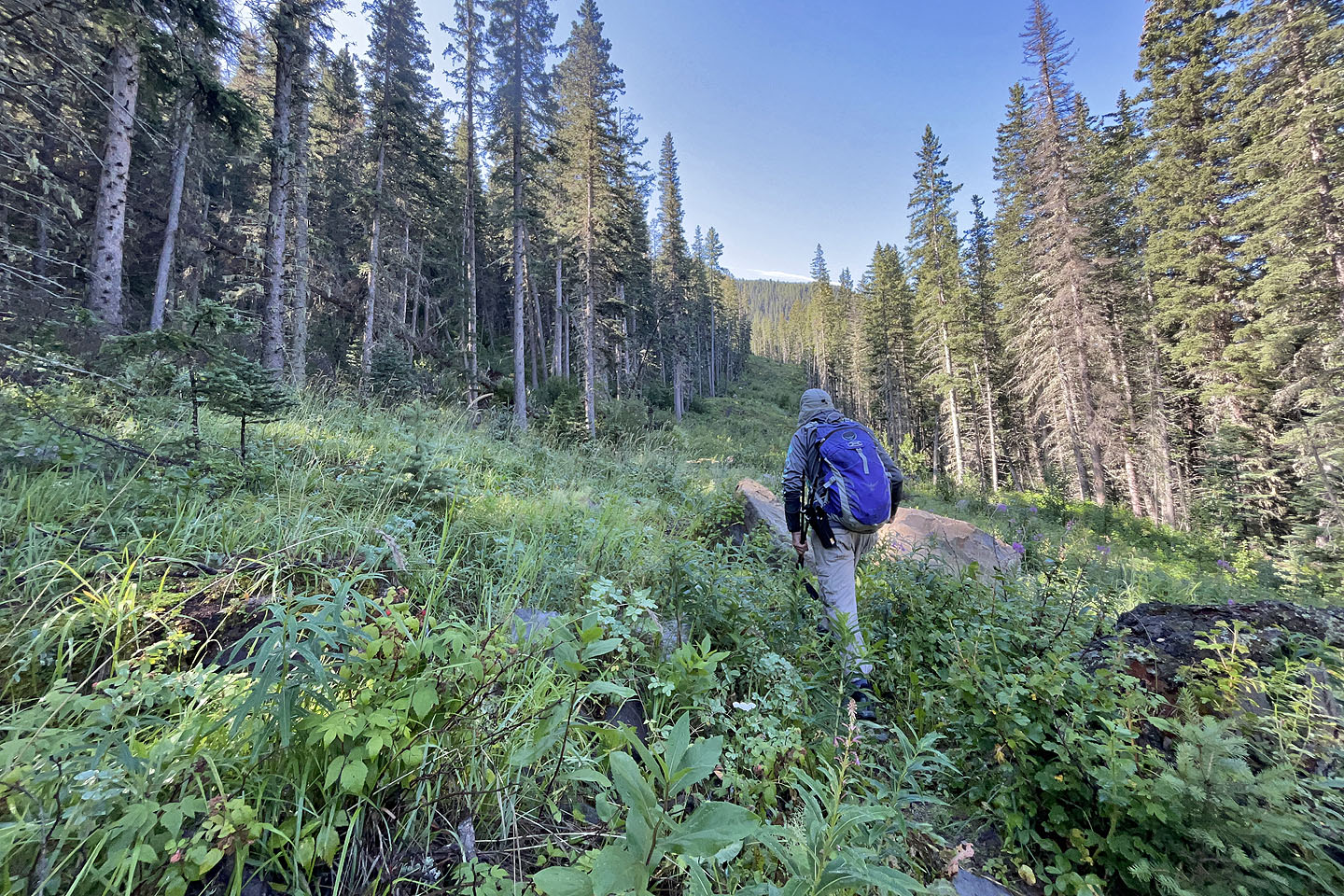 Hiking up the bushy trail
 A side trail is just past the rise on the left
 Going up the ridge after leaving the trail
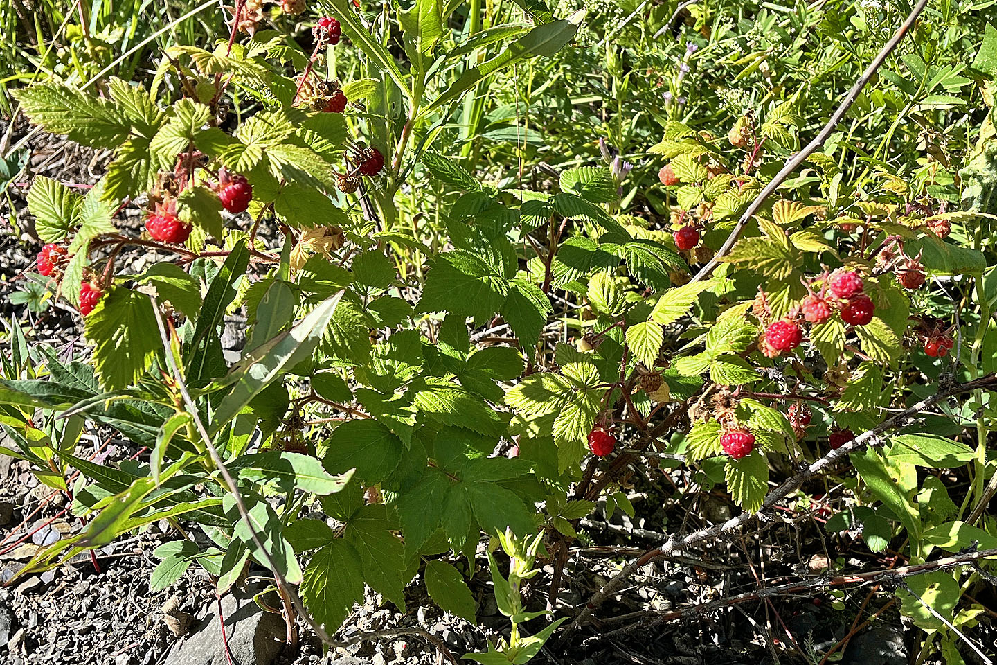 Raspberries were abundant in clearings
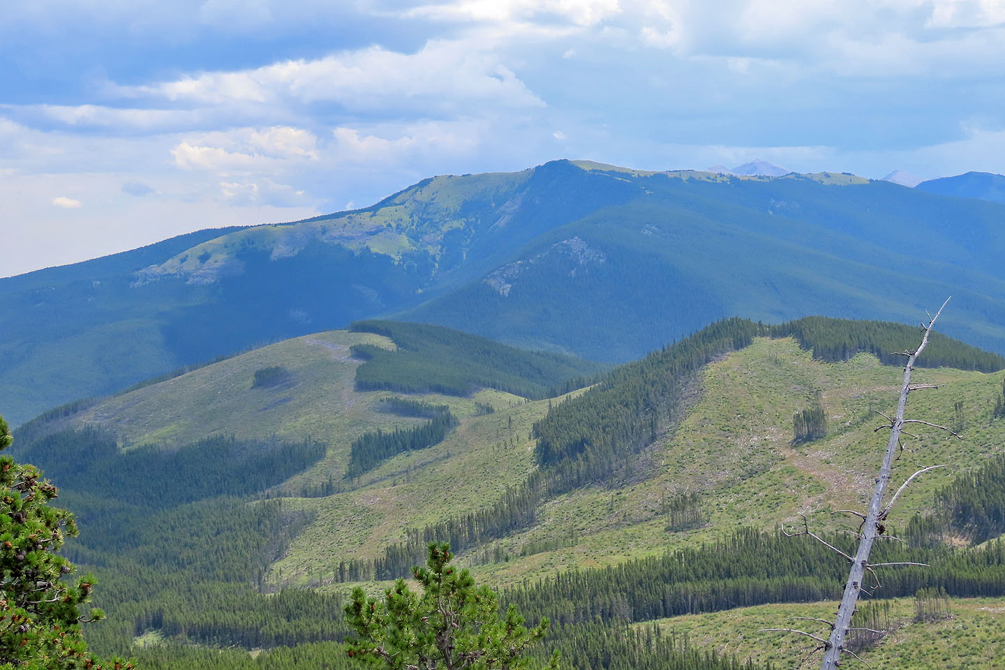
 Behind is Horton Ridge. I looked for climbers in the cliffs (Birdwatchers Crag) but didn't see any.
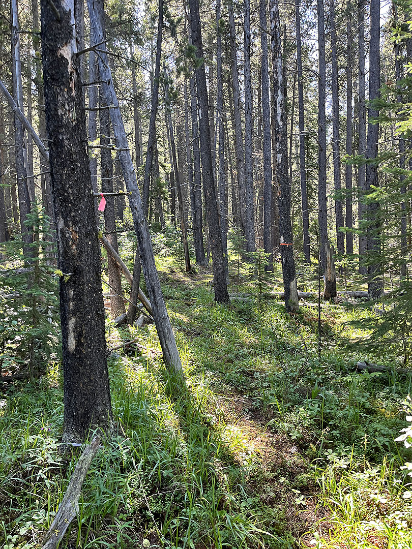
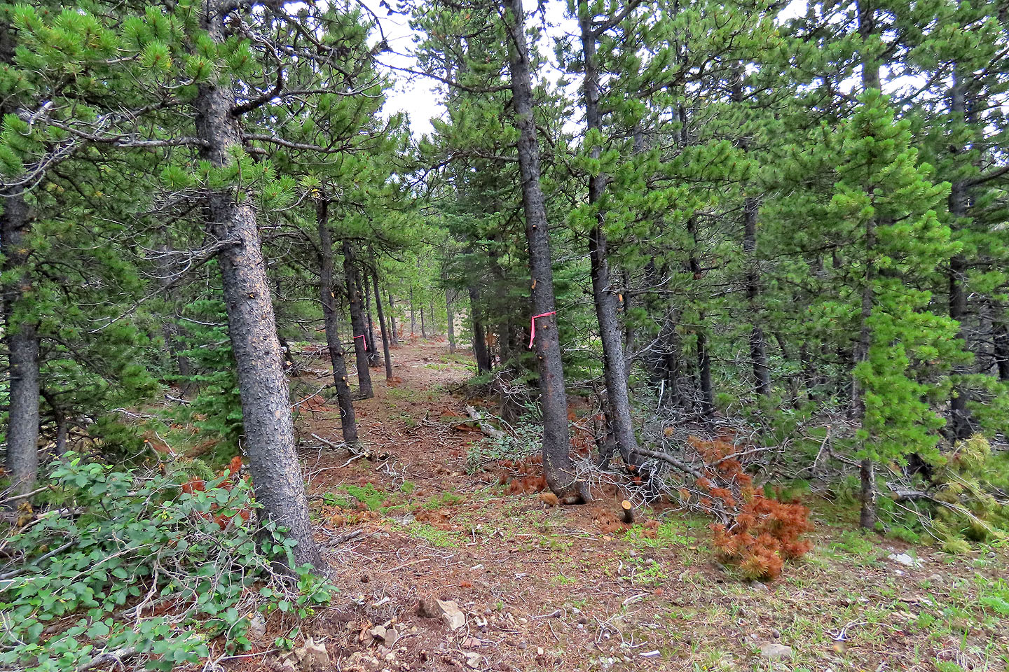
 When I reached the edge of the forest, I kept right and found a trail
The trail was fairly easy to follow
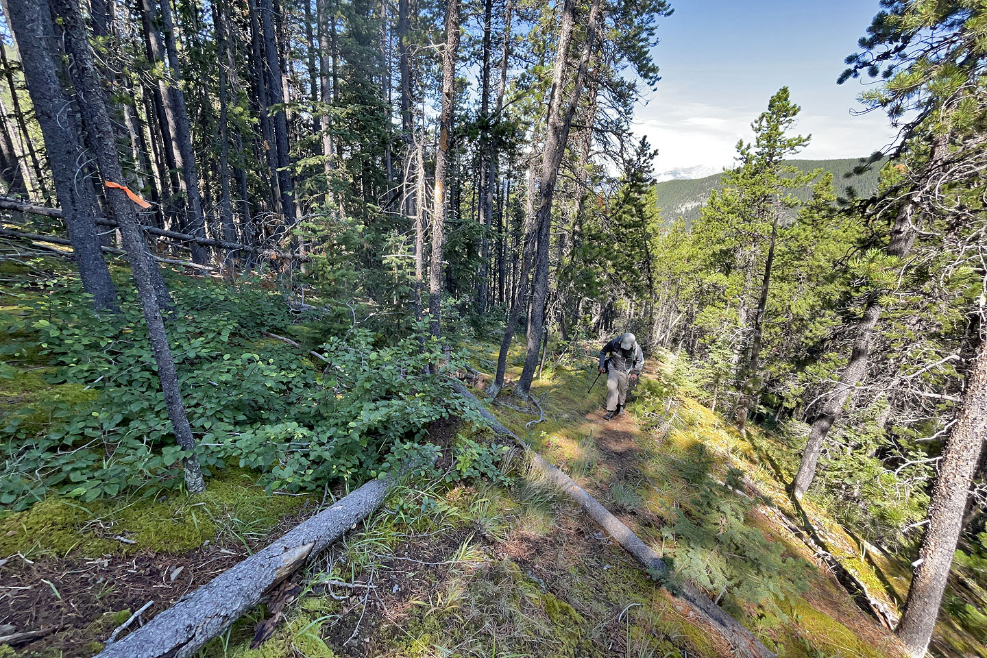 Going up the trail
The trail began to level off
There were two mountain bike jumps, which was odd since I didn't see a
way of reaching the trail without bushwhacking
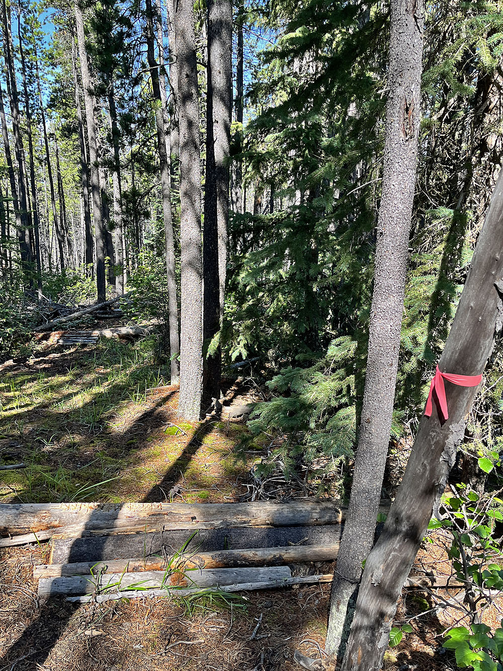
 The trail ended in a clearing. After the trees ahead is another, larger clearing
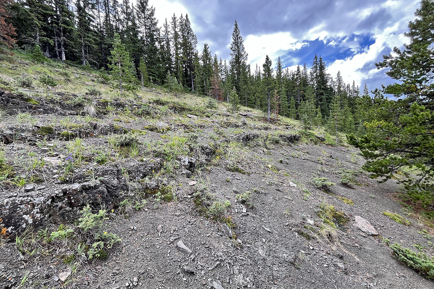
 The clearing leads to cliffs
 I hiked up the clearing
 The cliffs at the top can be circumvented on the left
 Walking along the clifftop. The bump in the centre is Hunchback Hill 2.
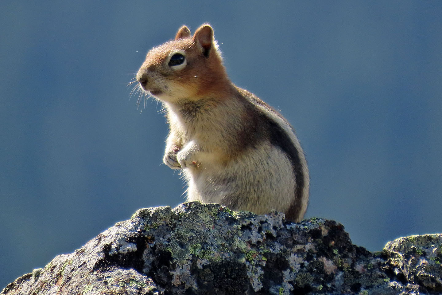 A chipmunk watched me as I walked by
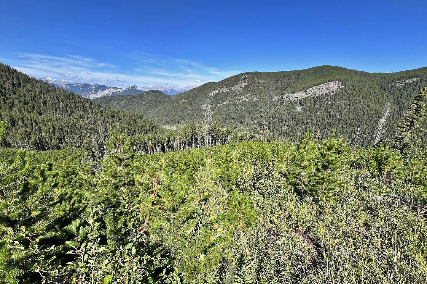
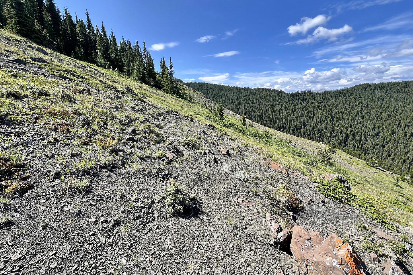
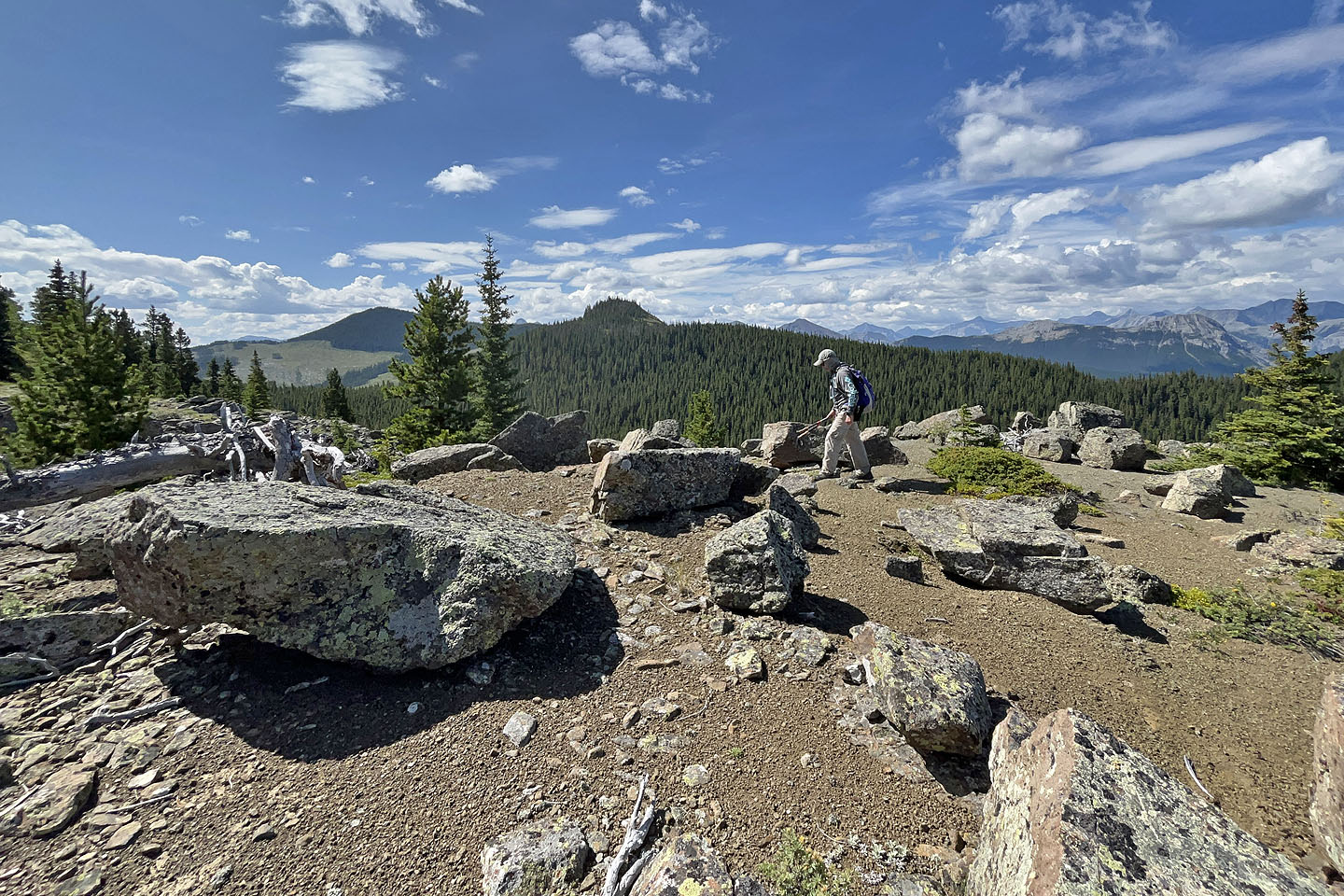
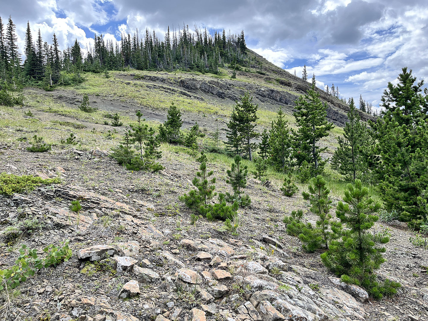
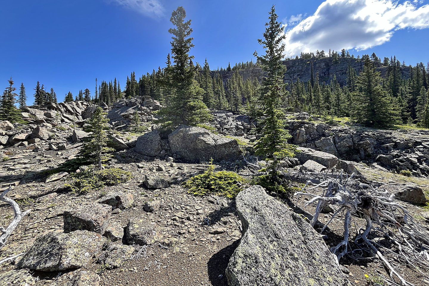 Interesting landscape
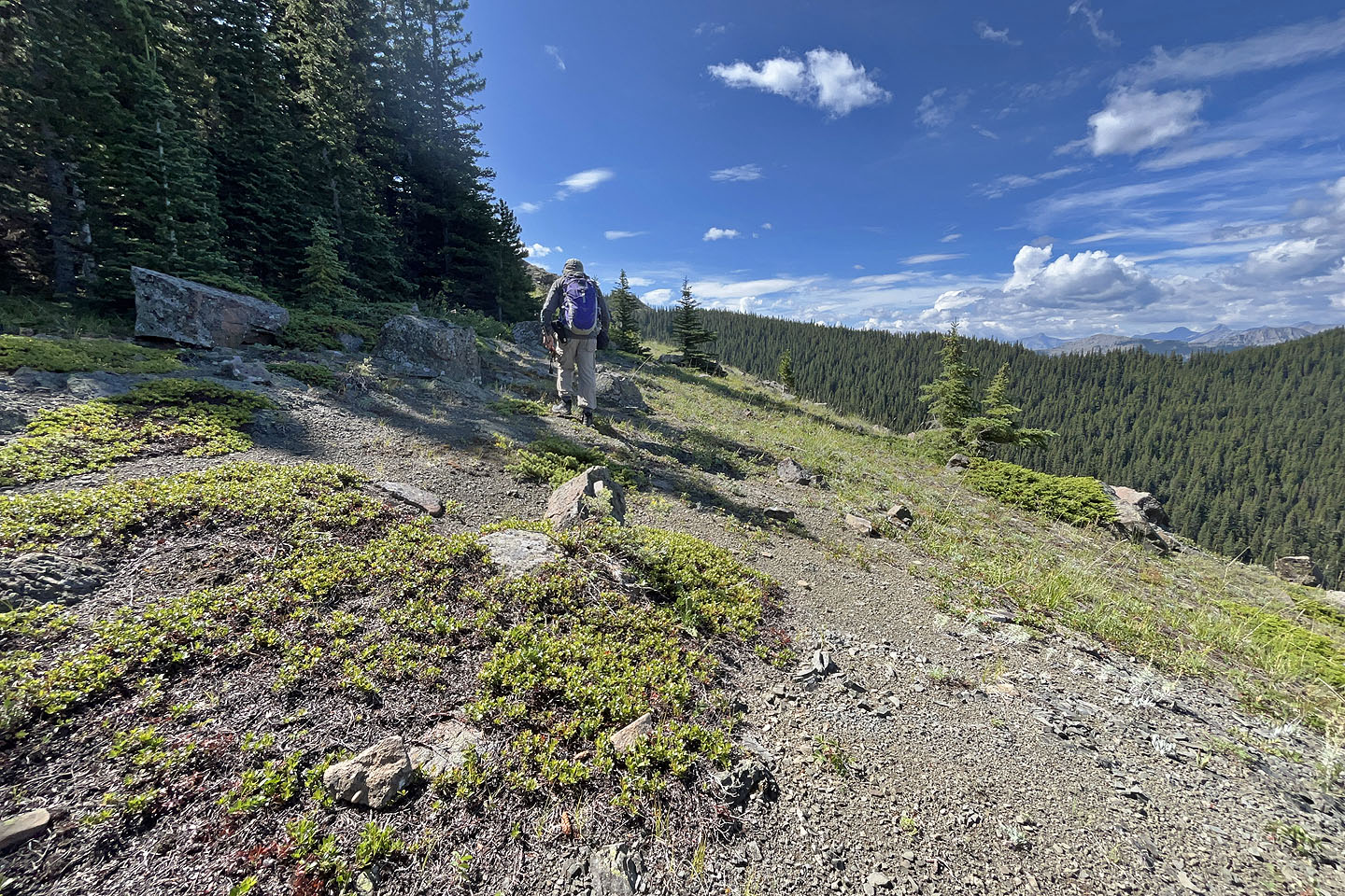
 To reach Hill 2, I dropped down to a saddle on the left
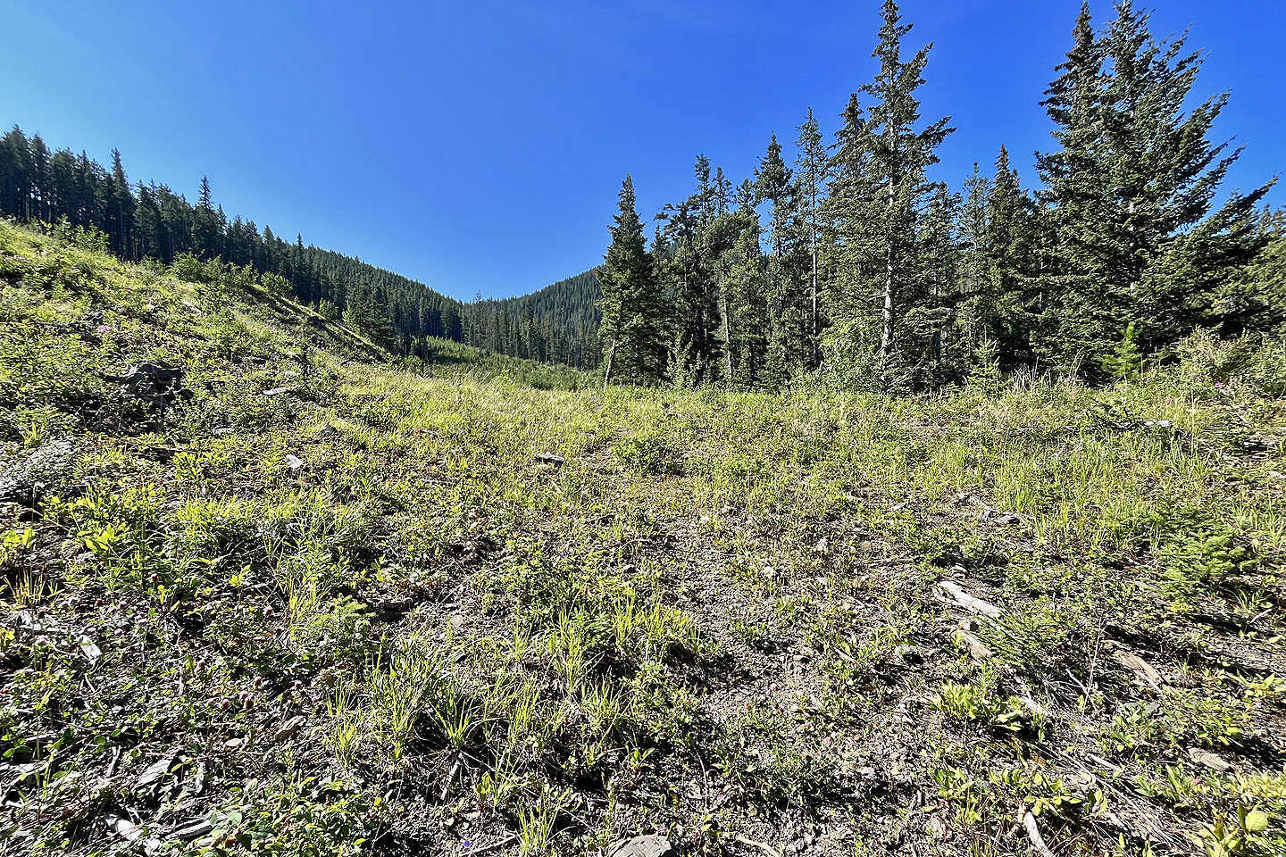
I followed a faint trail on the saddle
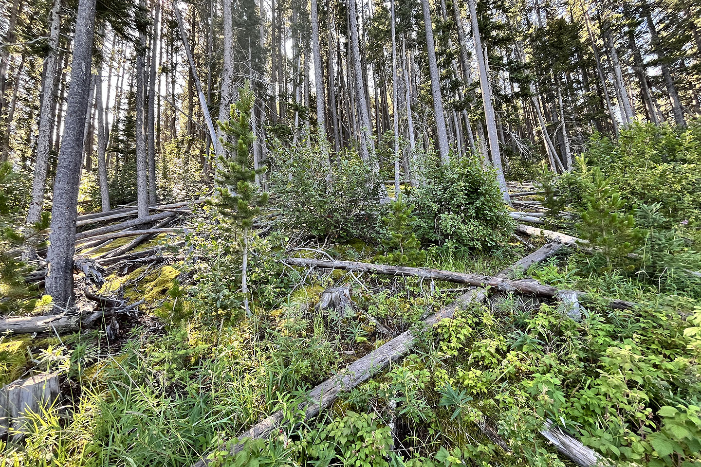
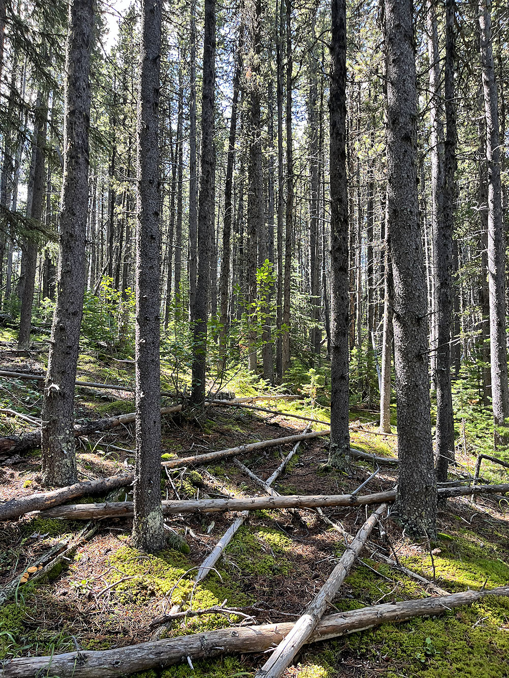
 I also encountered deadfall
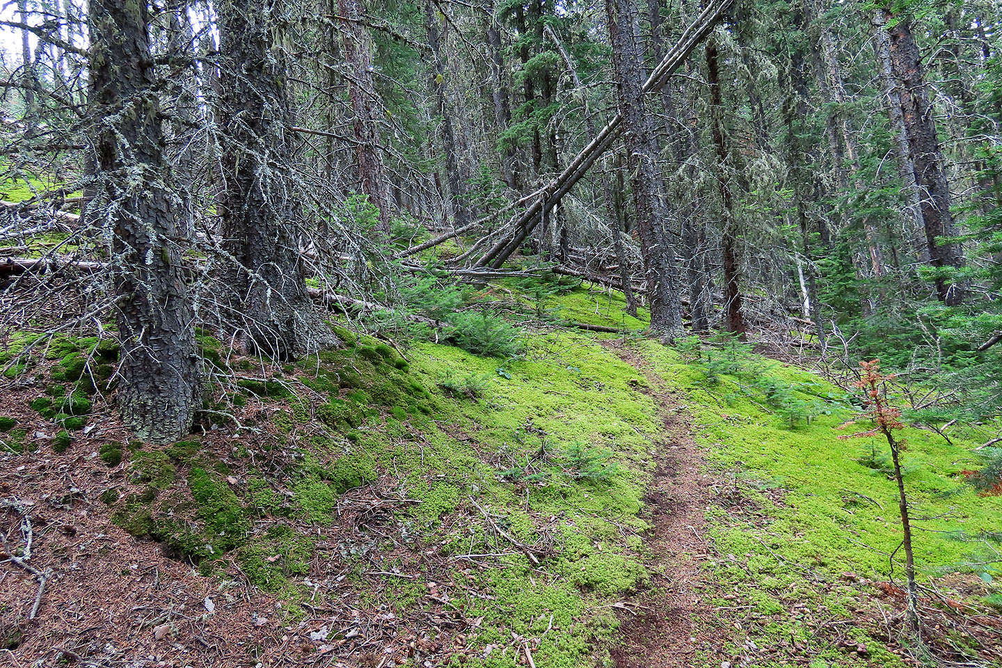 I followed this trail for a while
 A trail on the ridge ends below the summit. Perhaps it runs the other way to Lusk Ridge West.
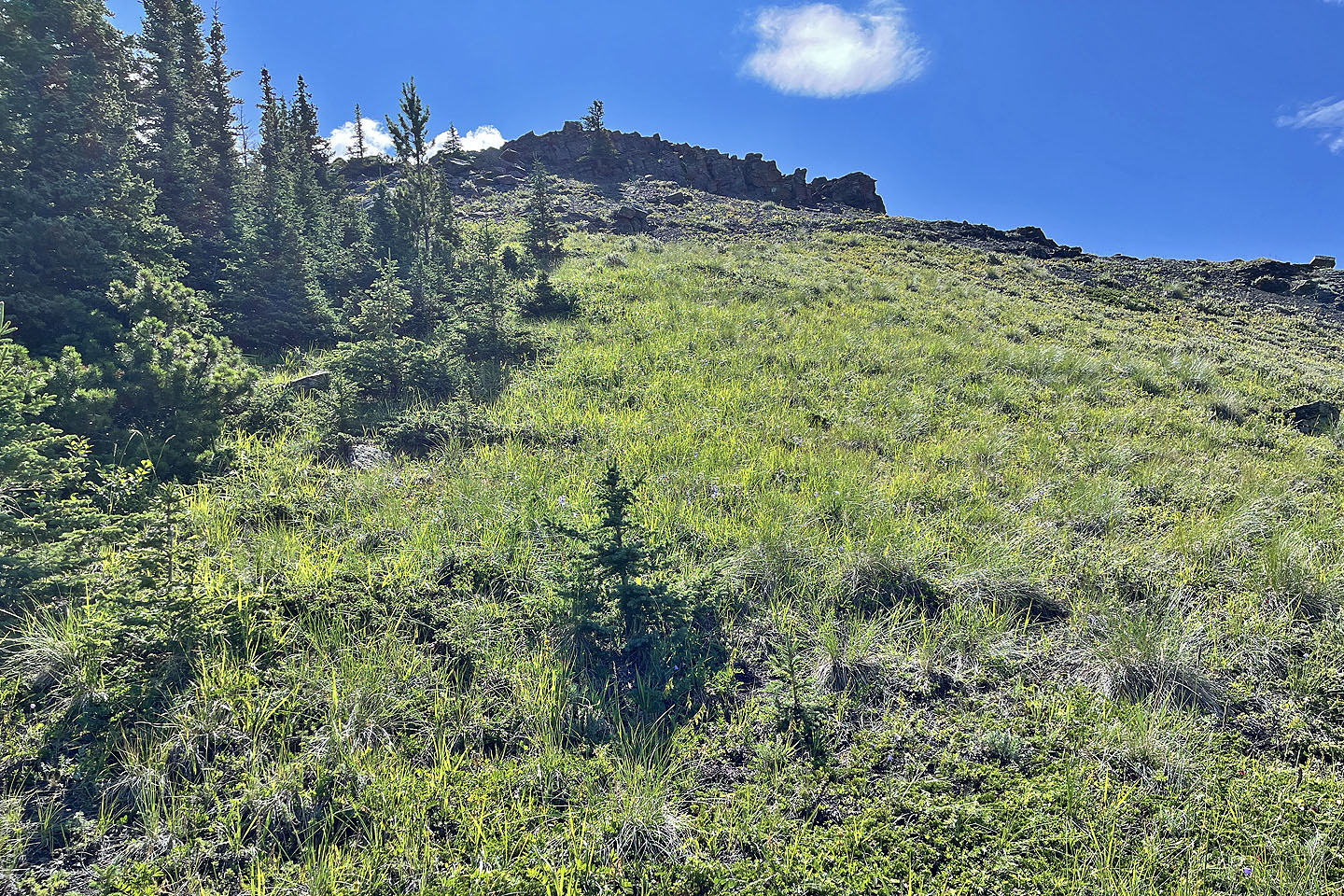
 The summit is ahead
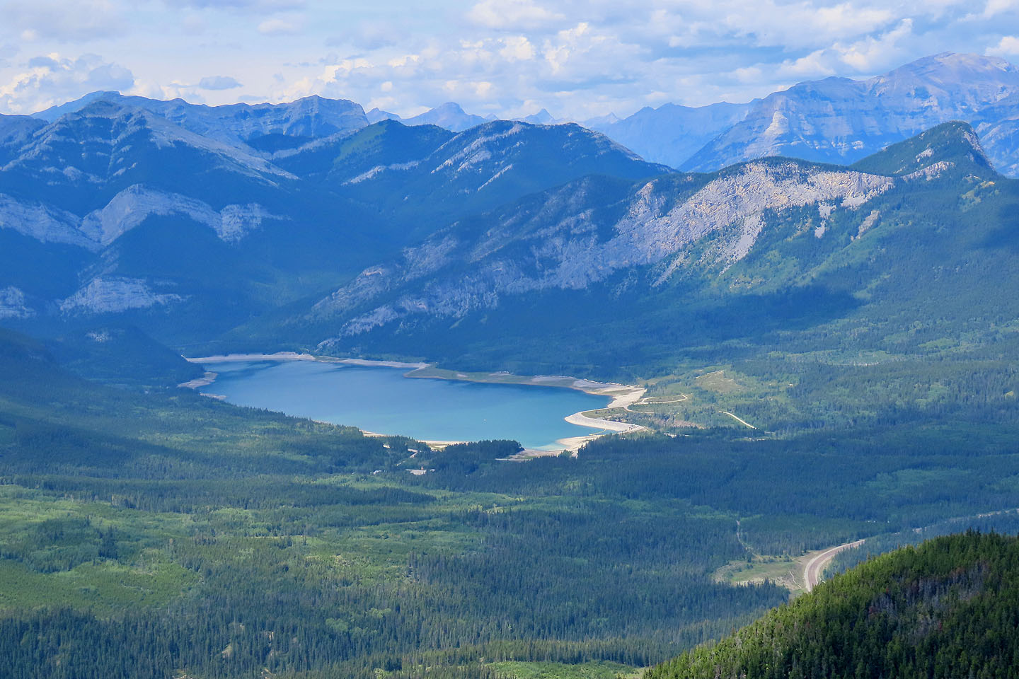 Barrier Lake
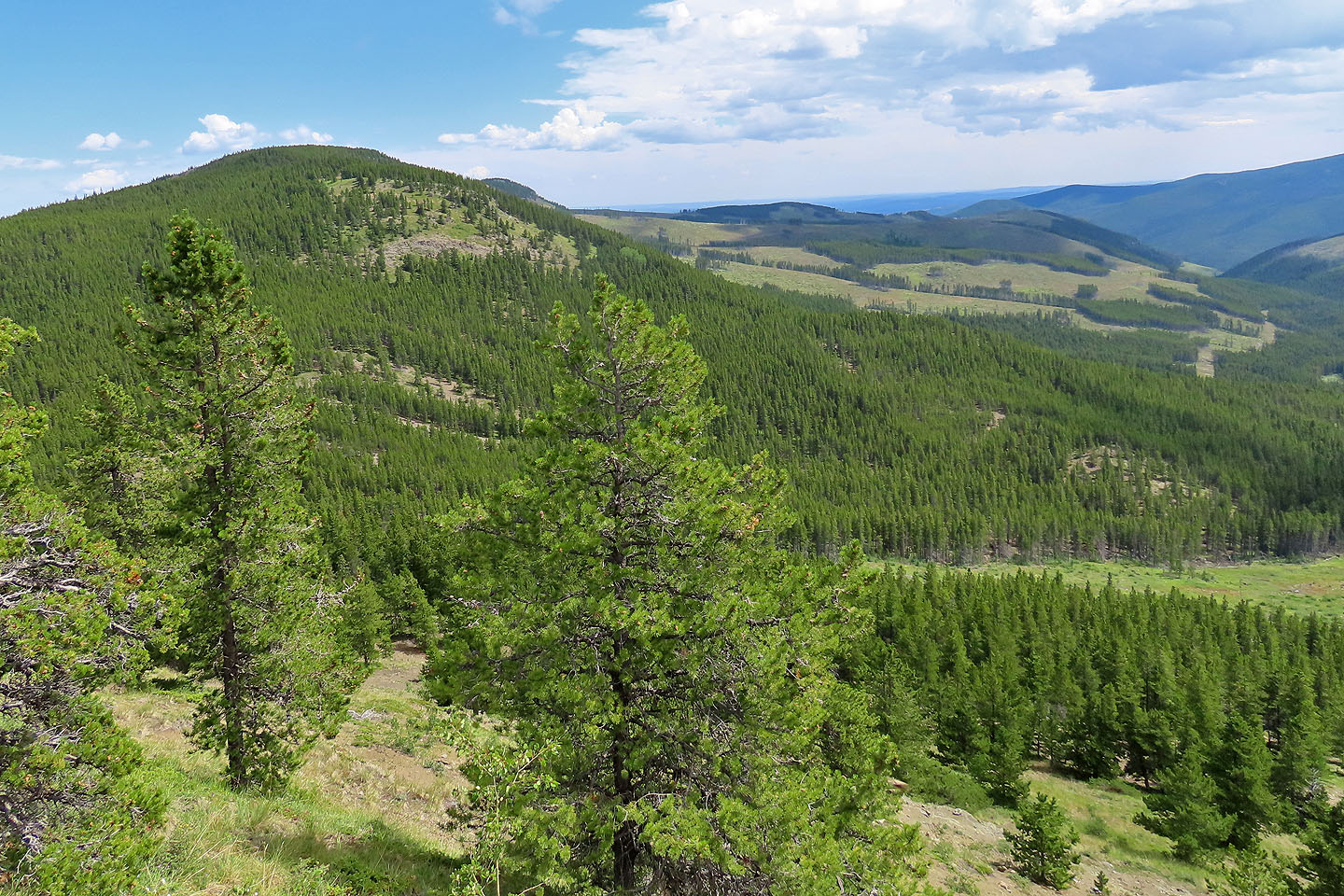
 Hunchback Hill 1
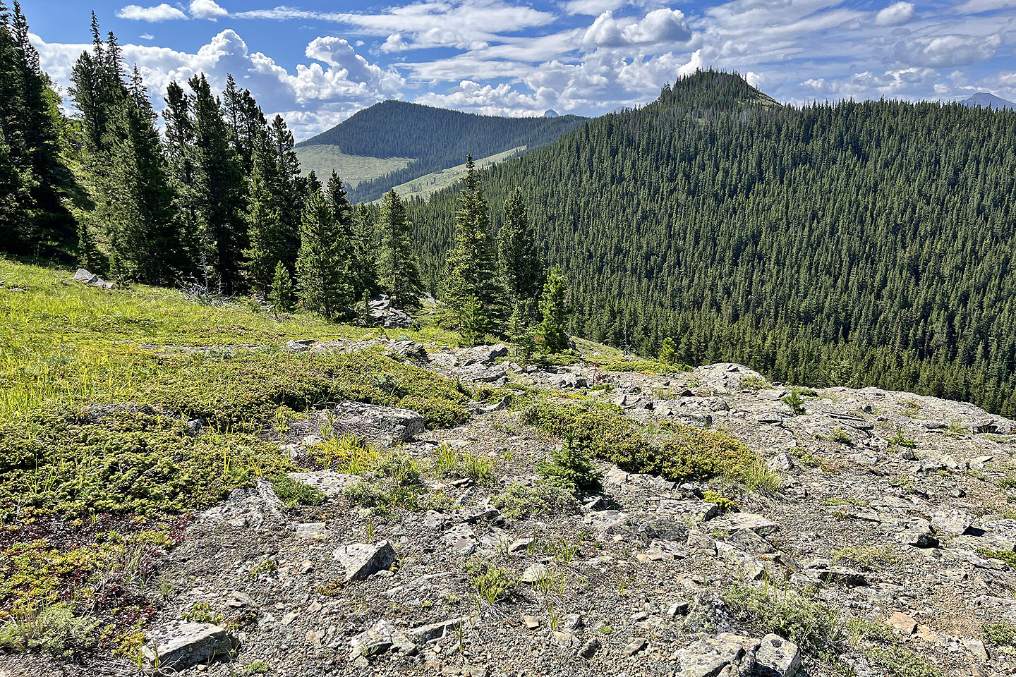
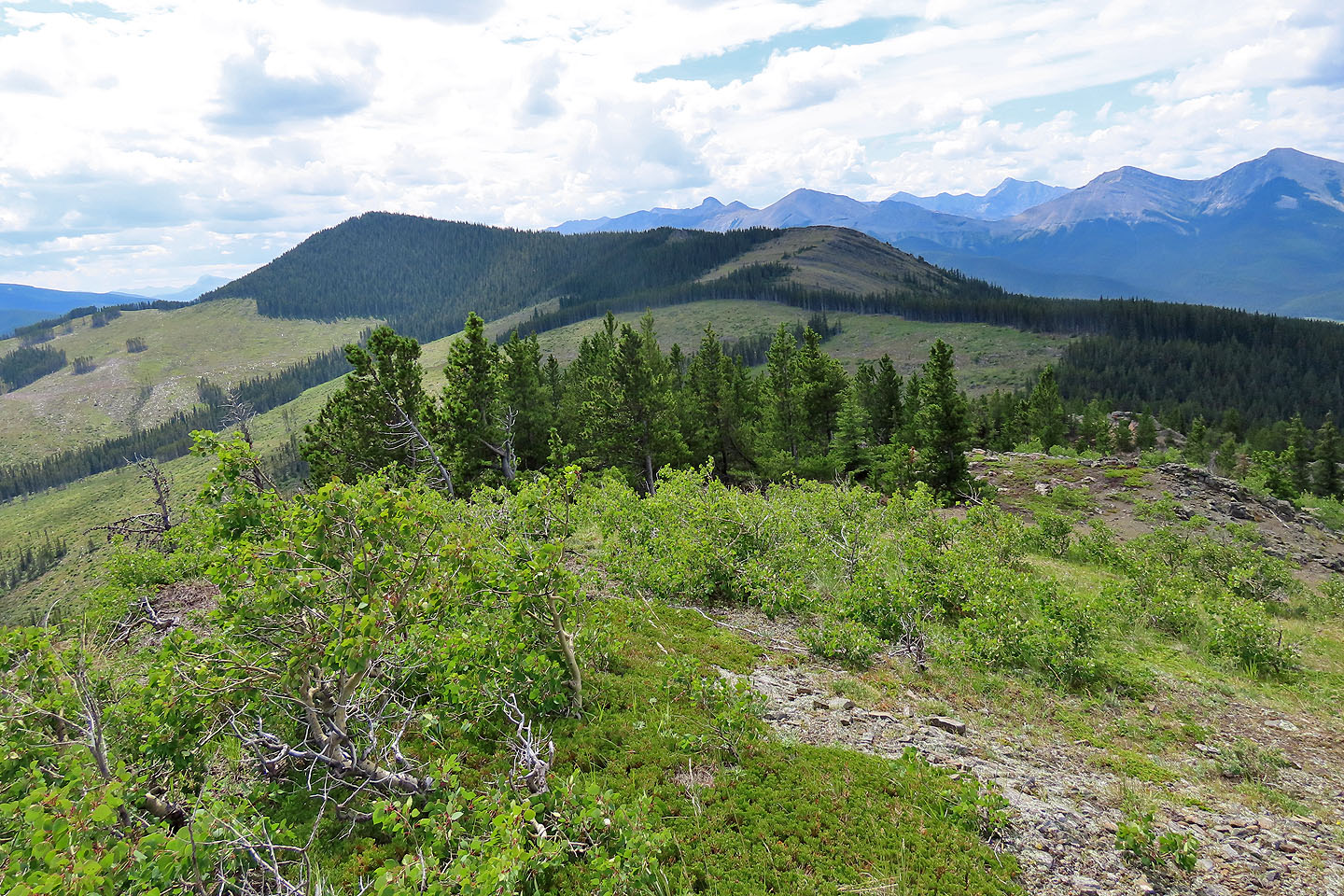
 Hunchback Hills 3 and 4 on the left
 Cox Hill
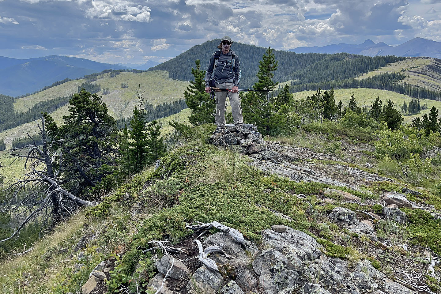 On the summit
82 O/2 Jumpingpound Creek